






Miners Trail Hochoetz with Wetterkreuz peak
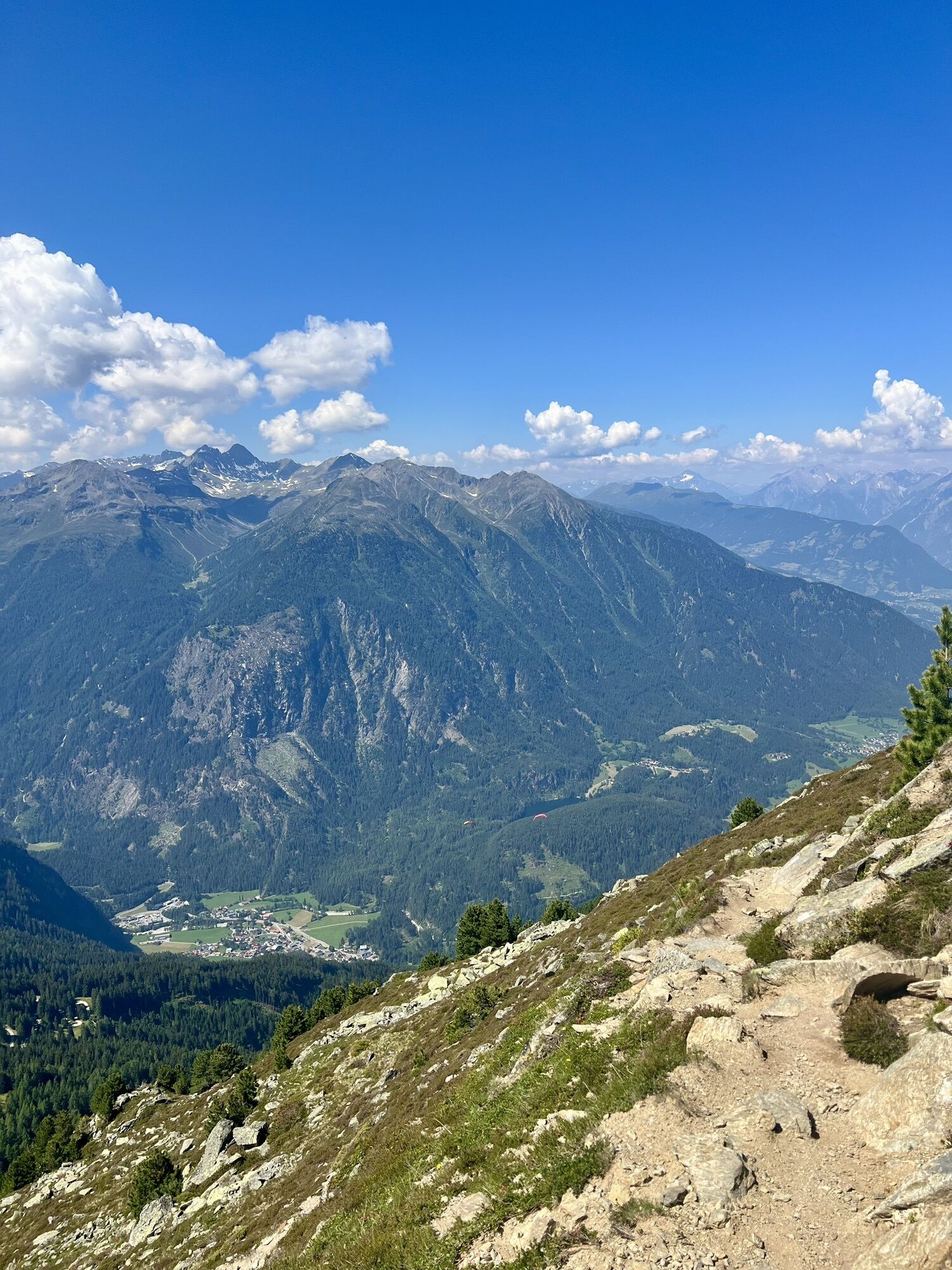
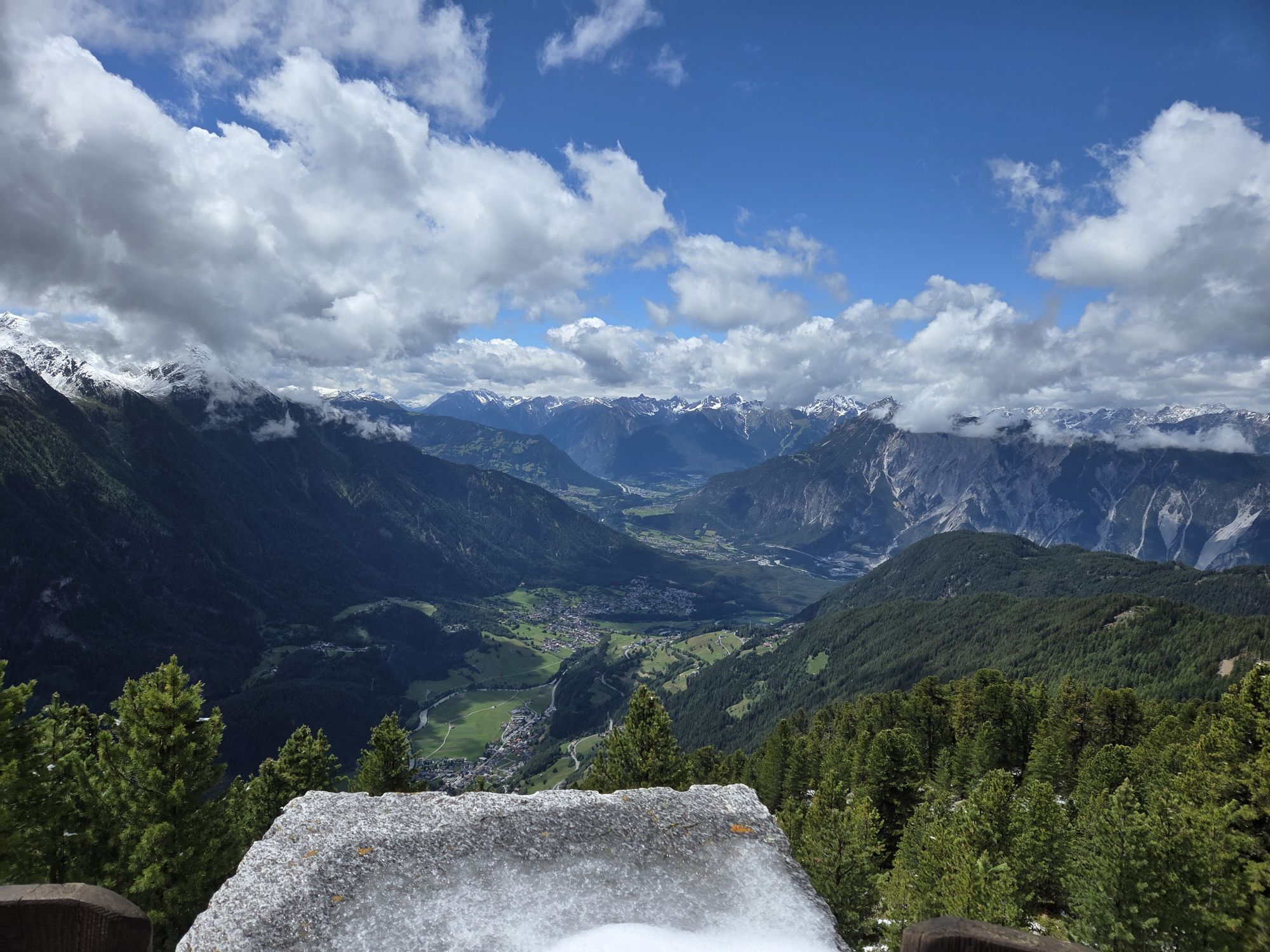
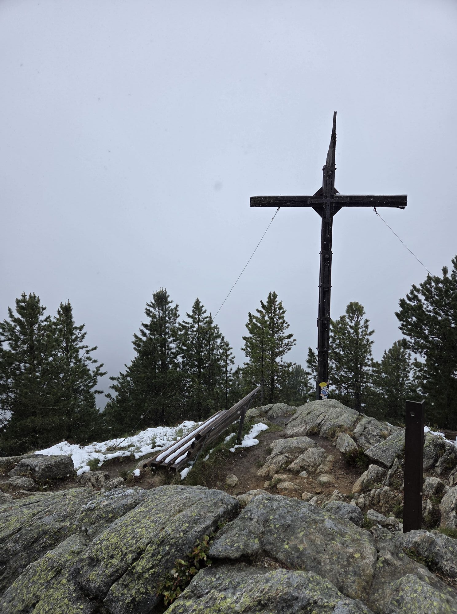
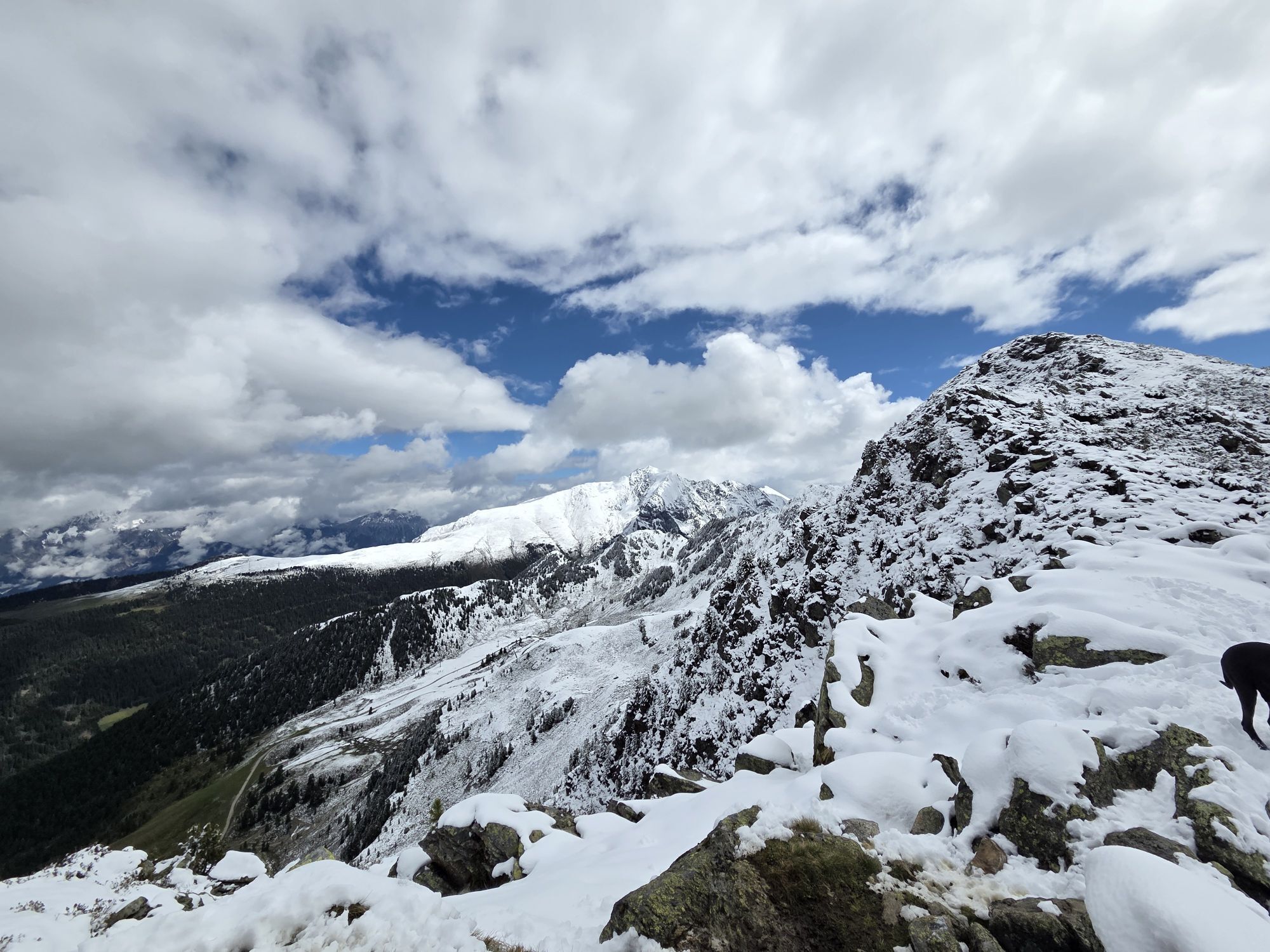
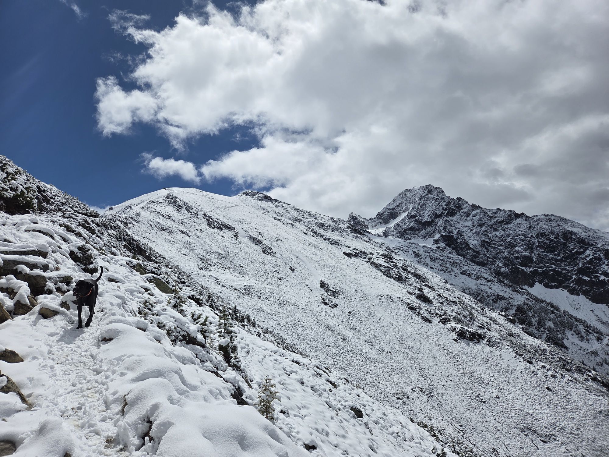
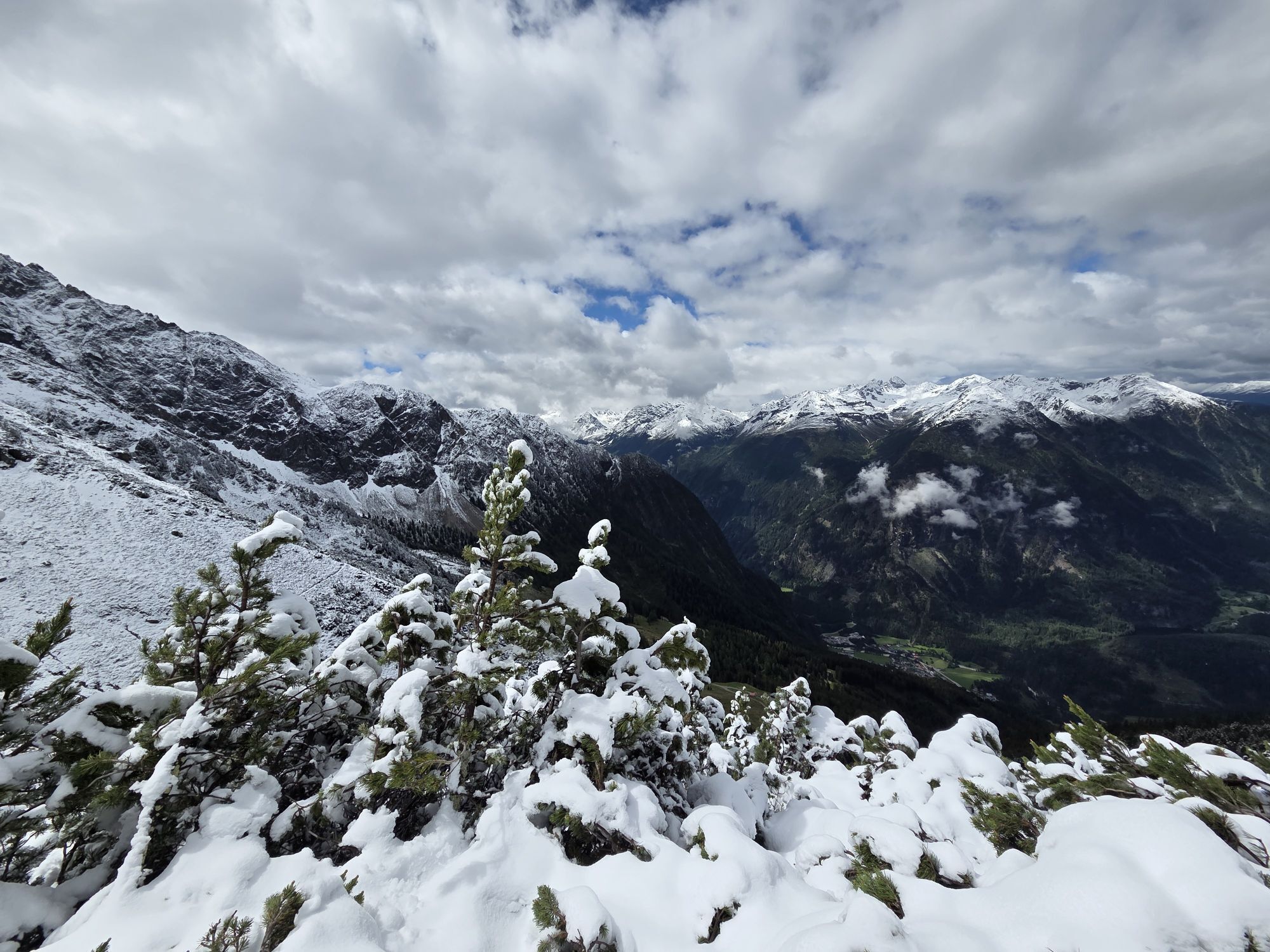
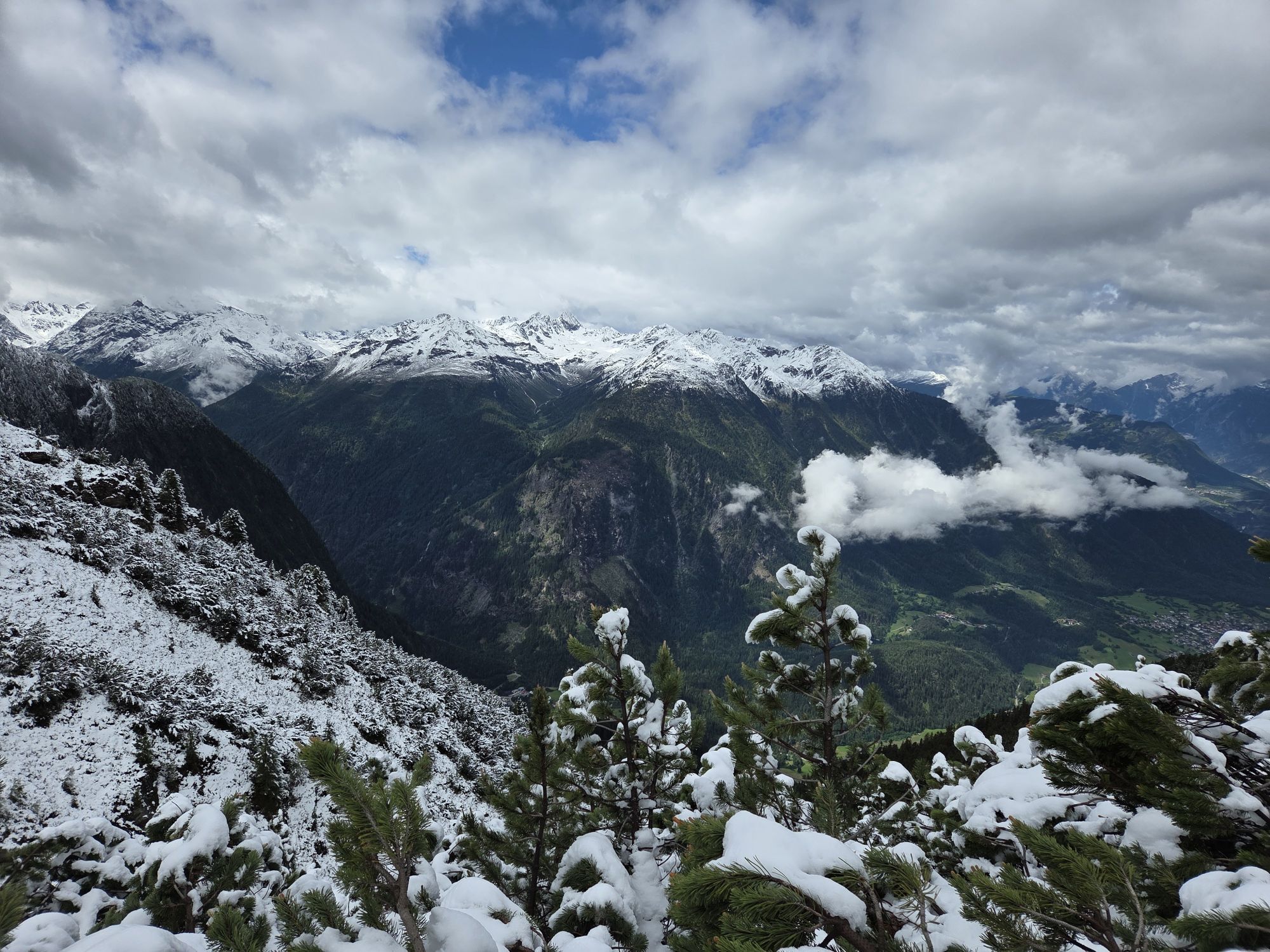
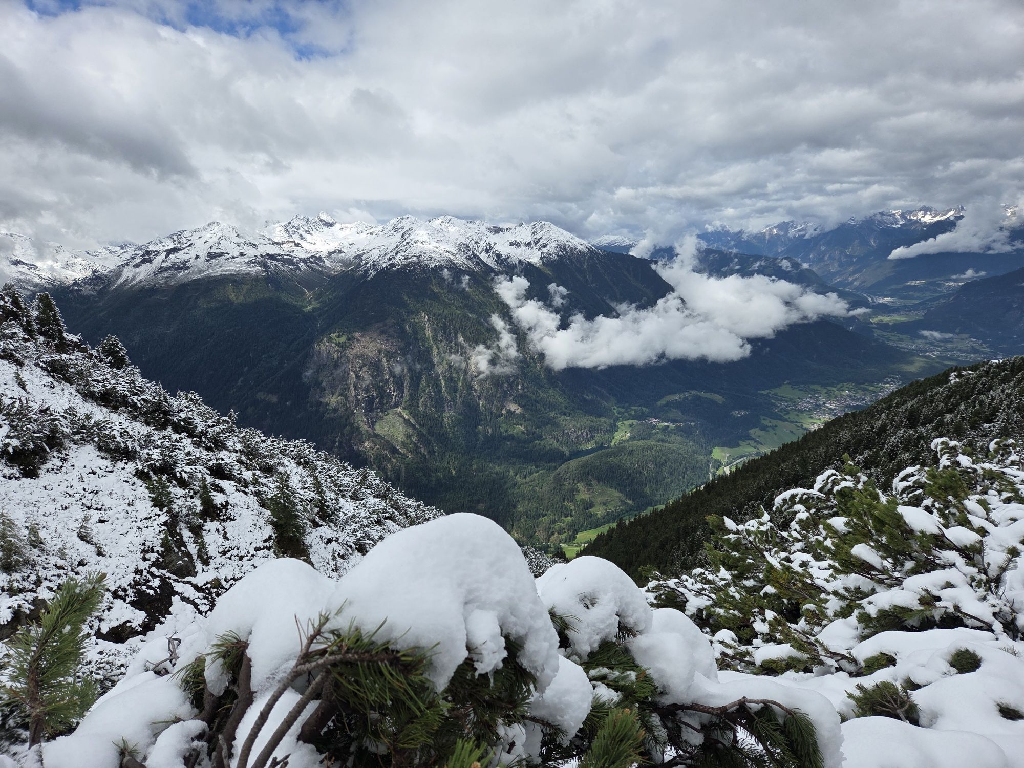
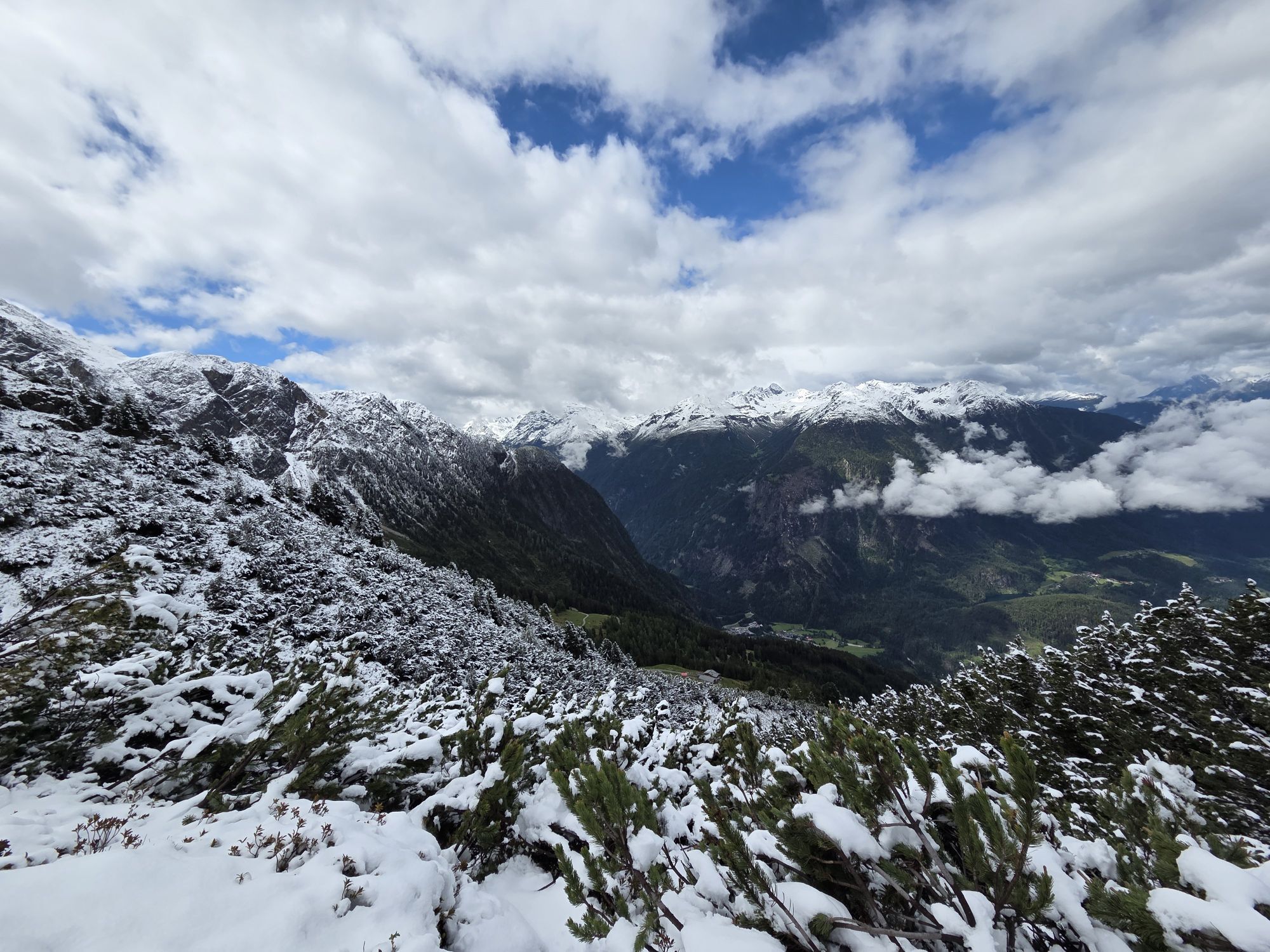
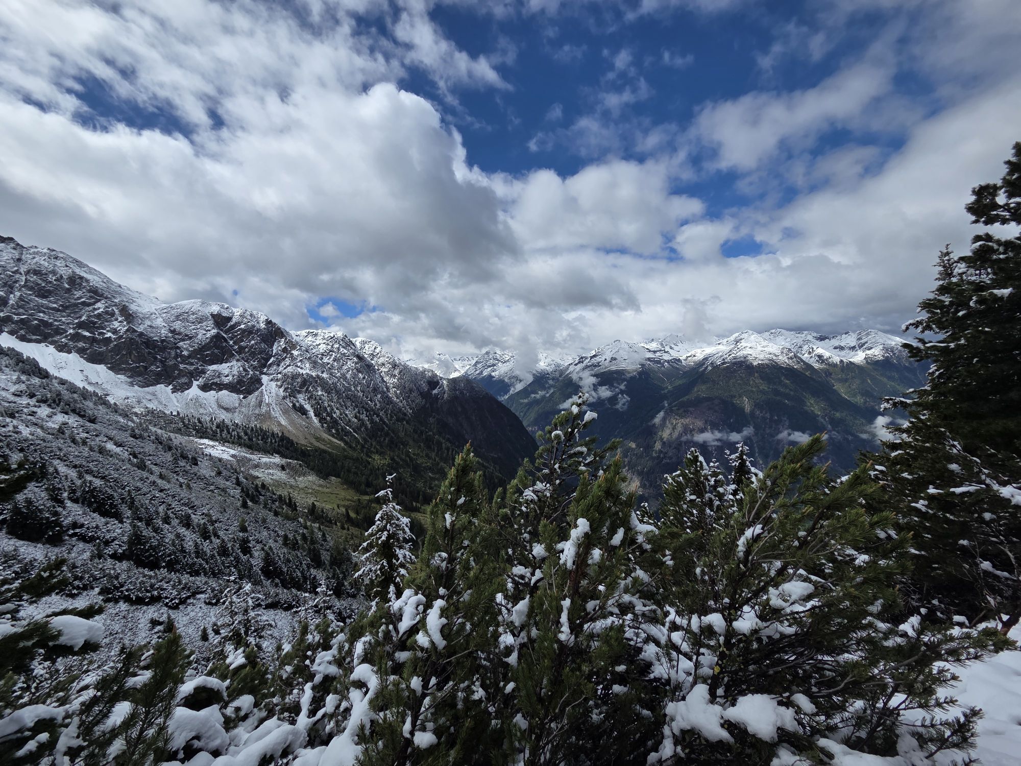
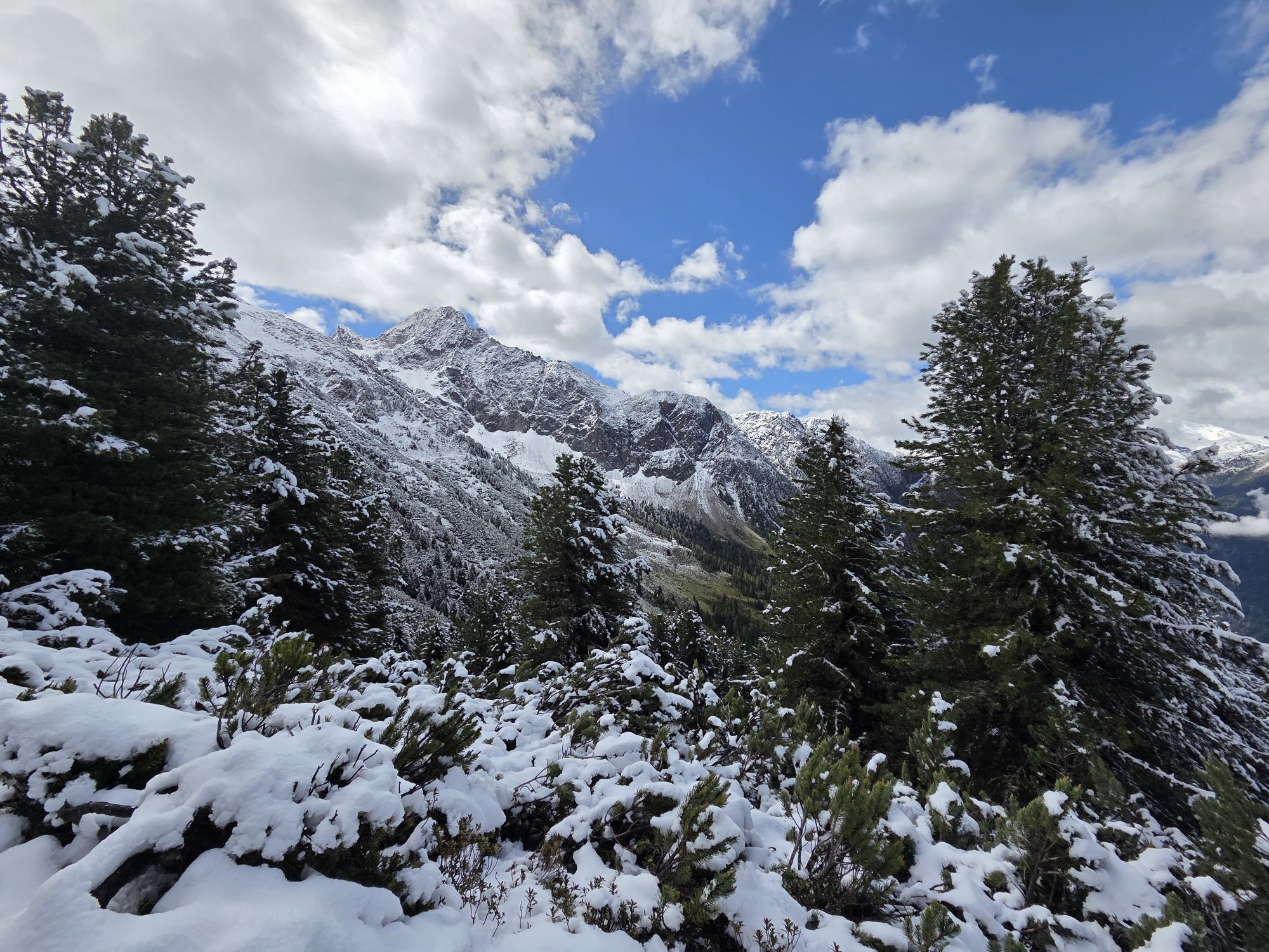
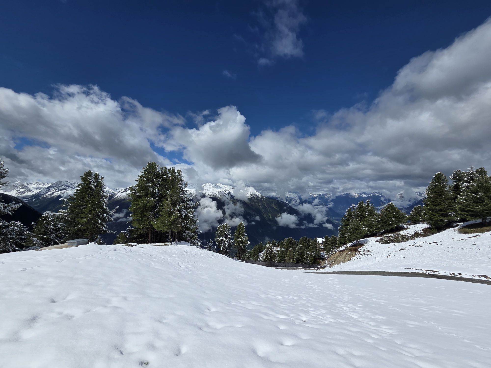
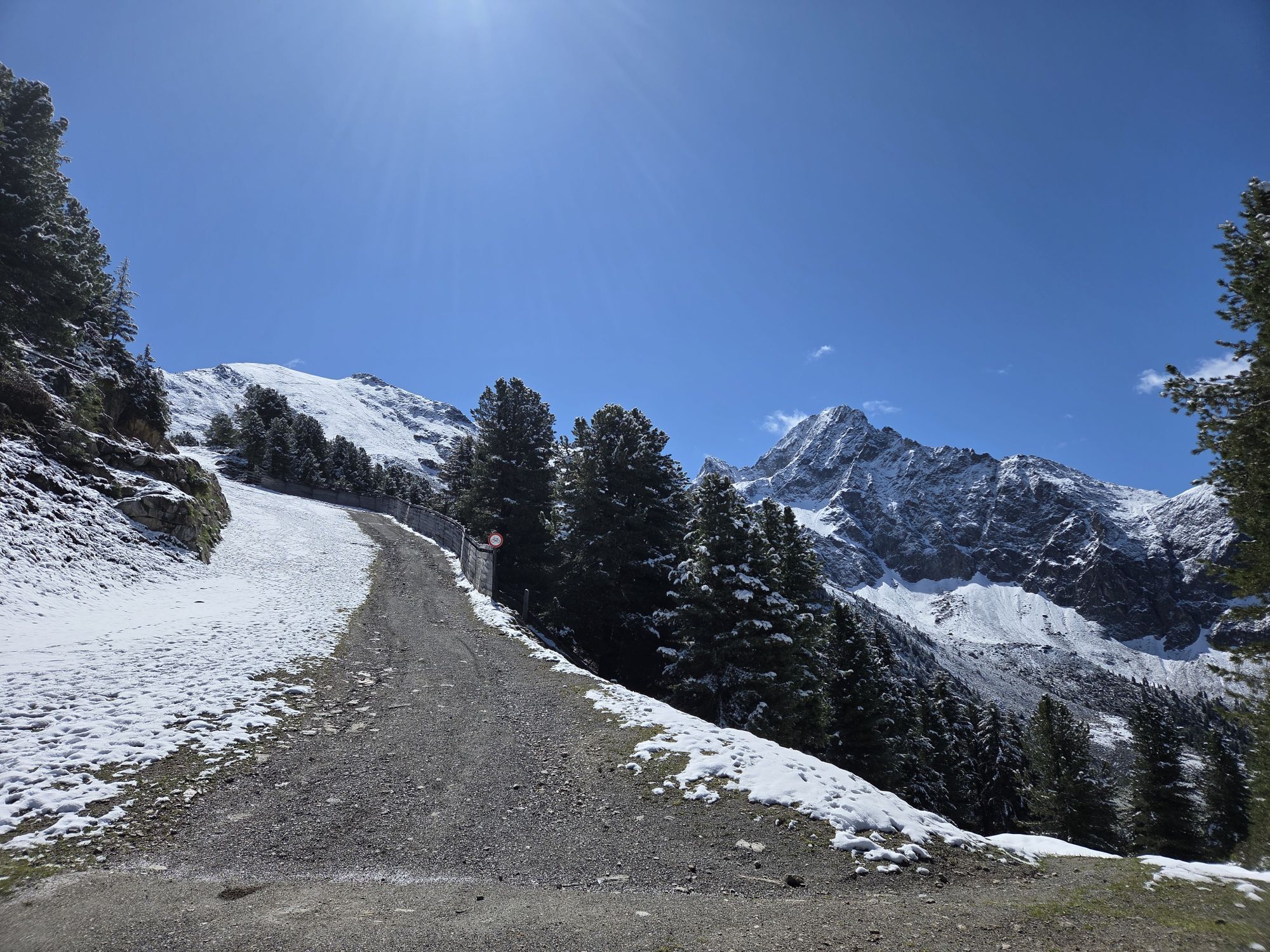
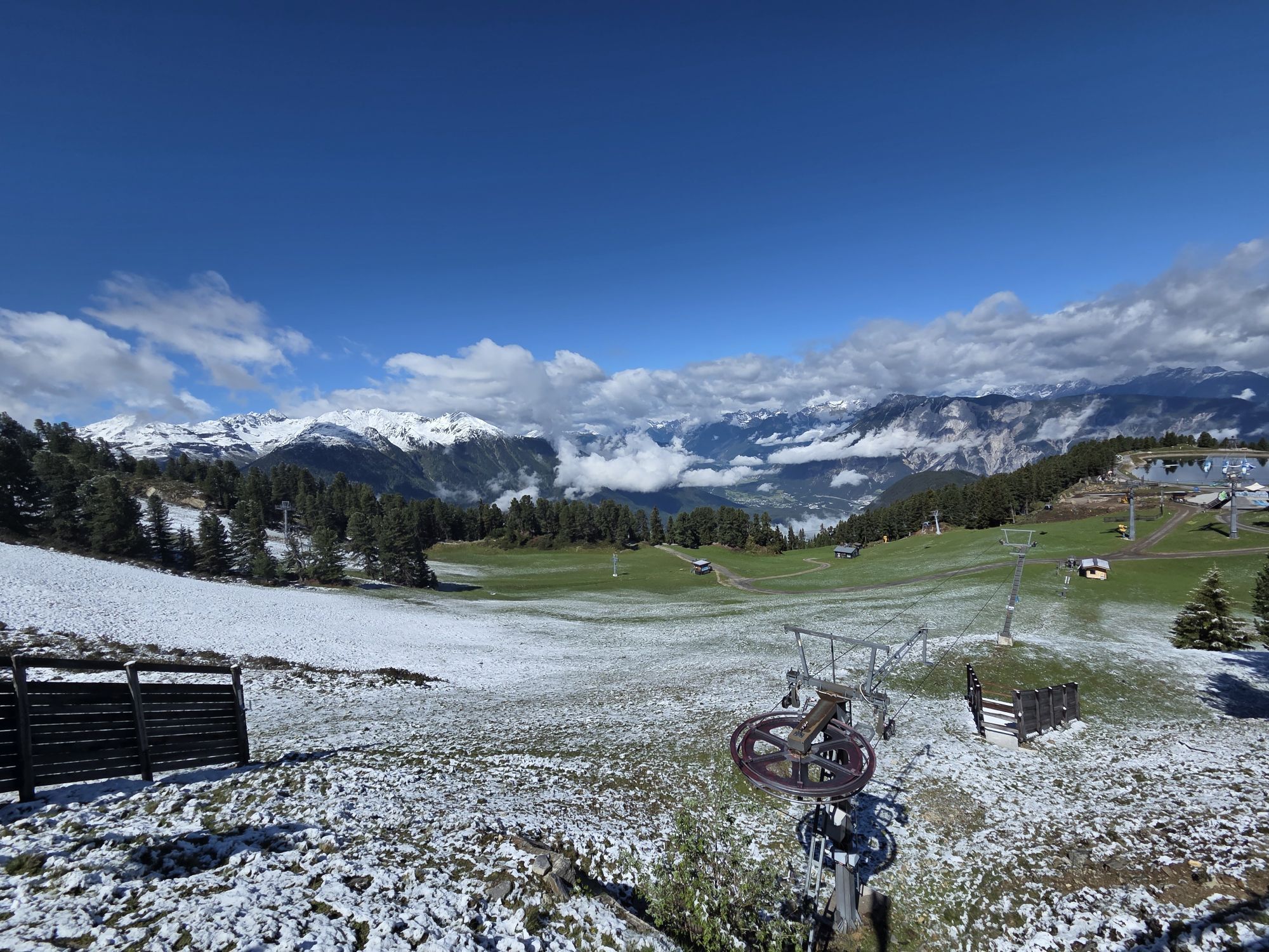
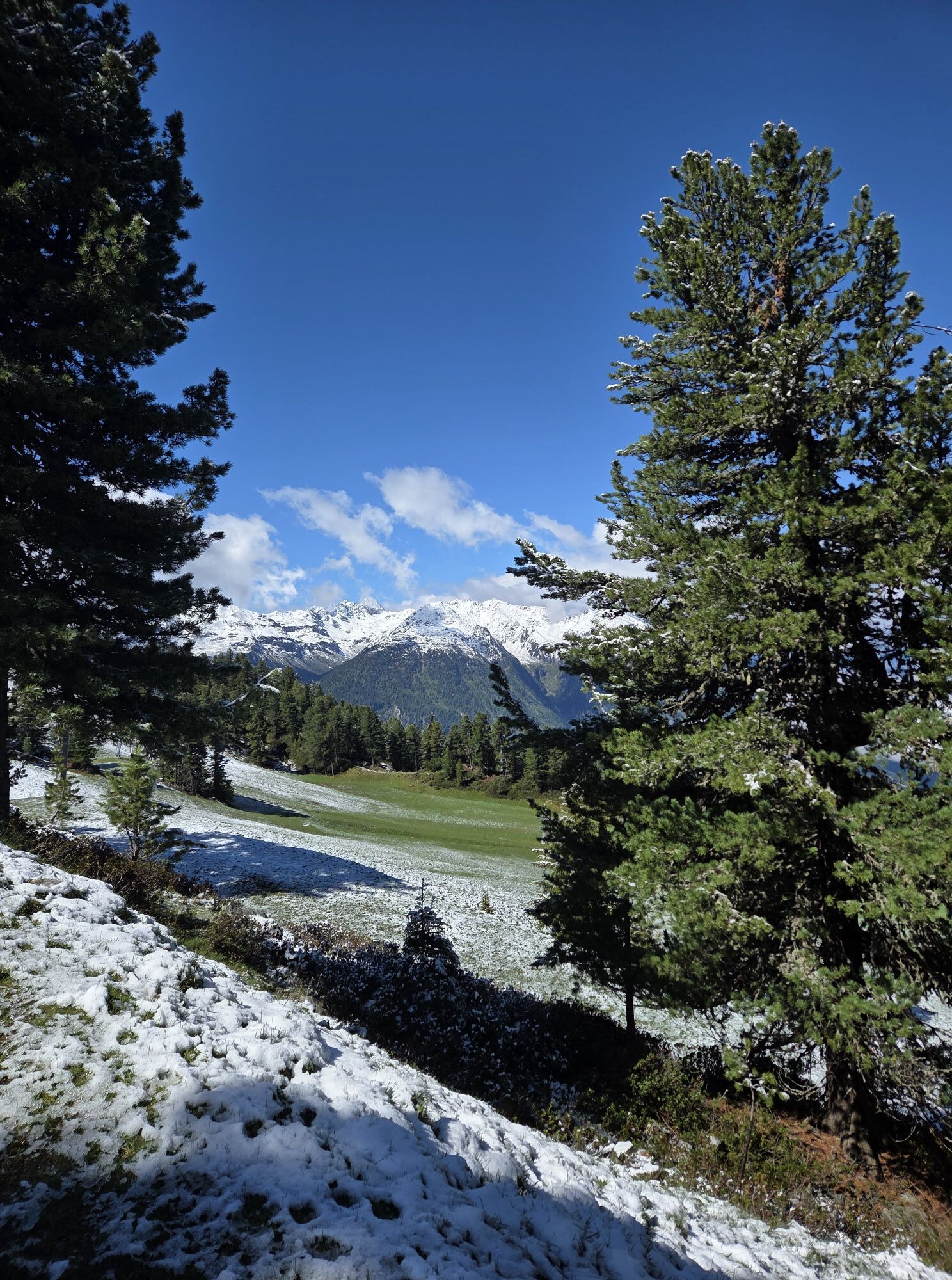
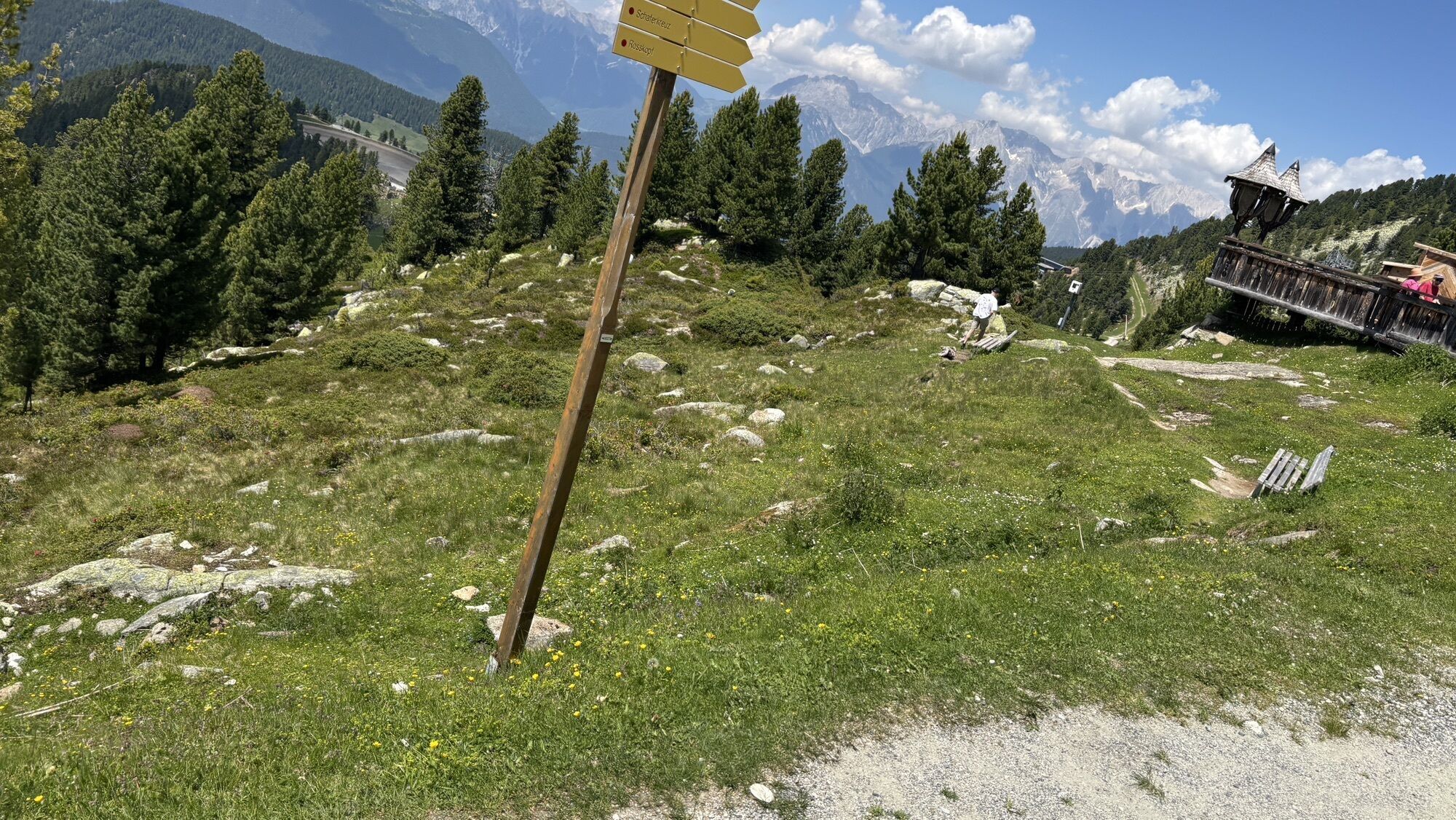
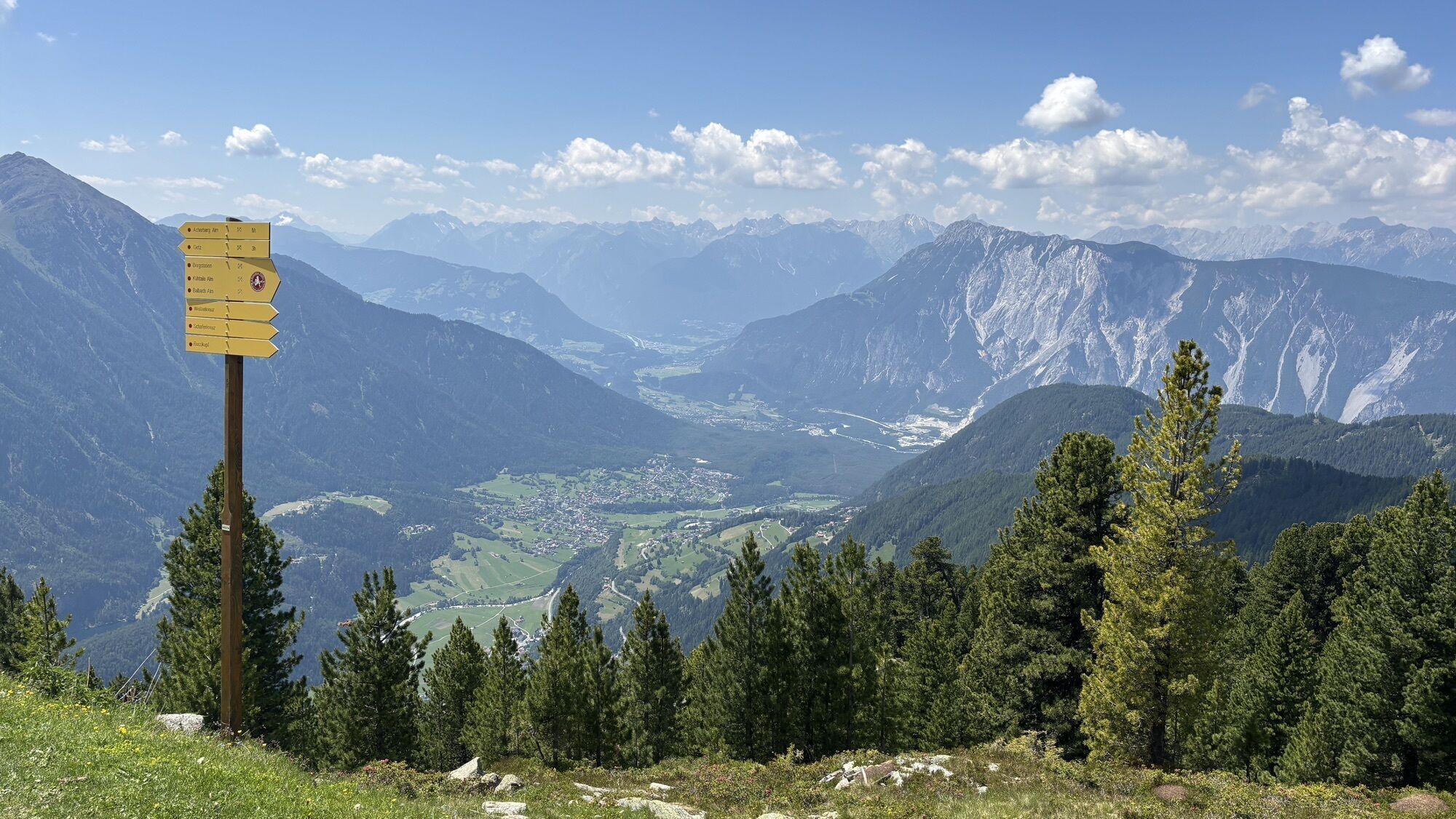
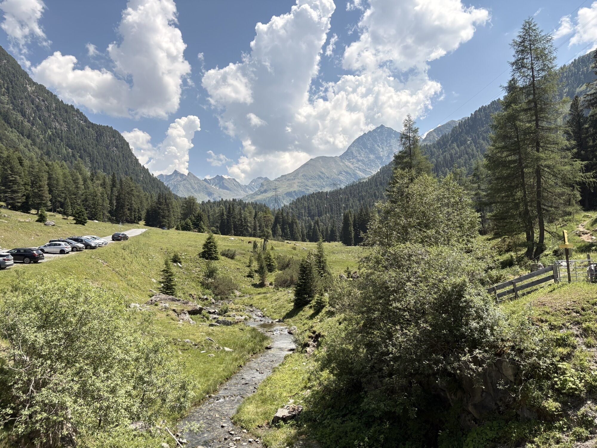
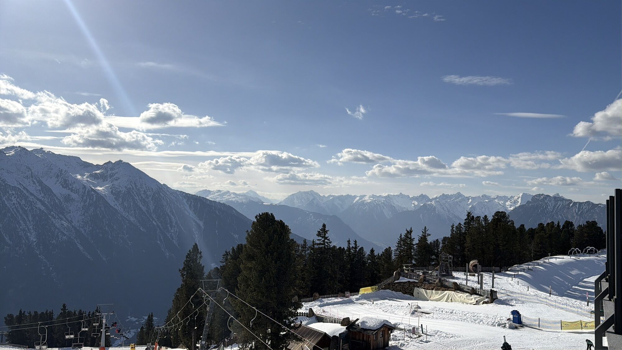
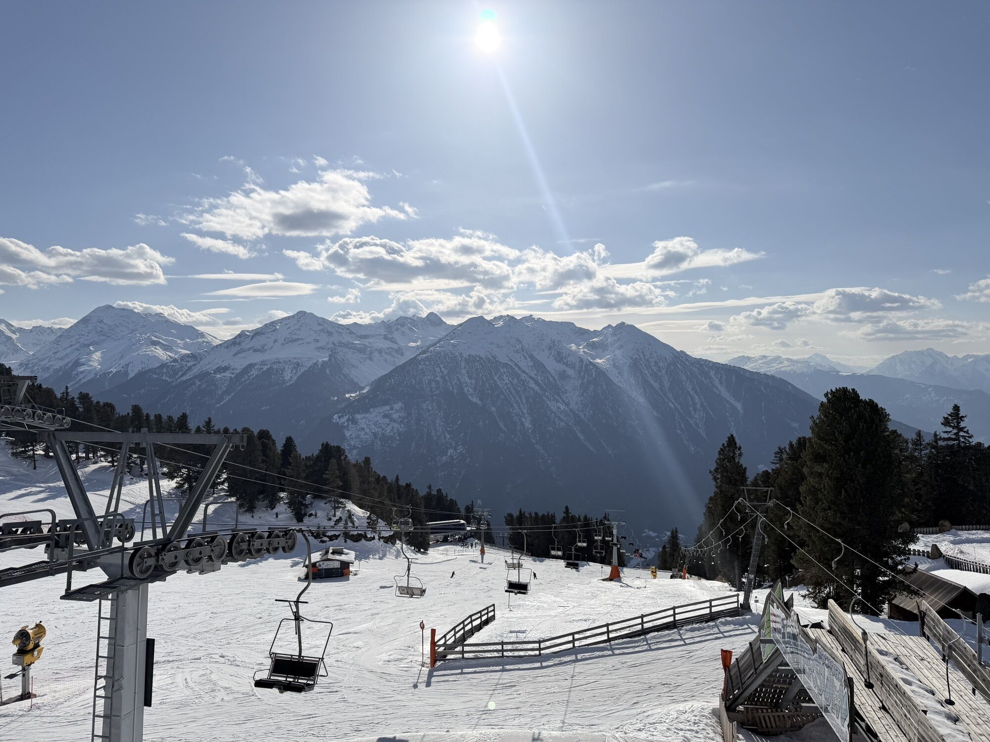
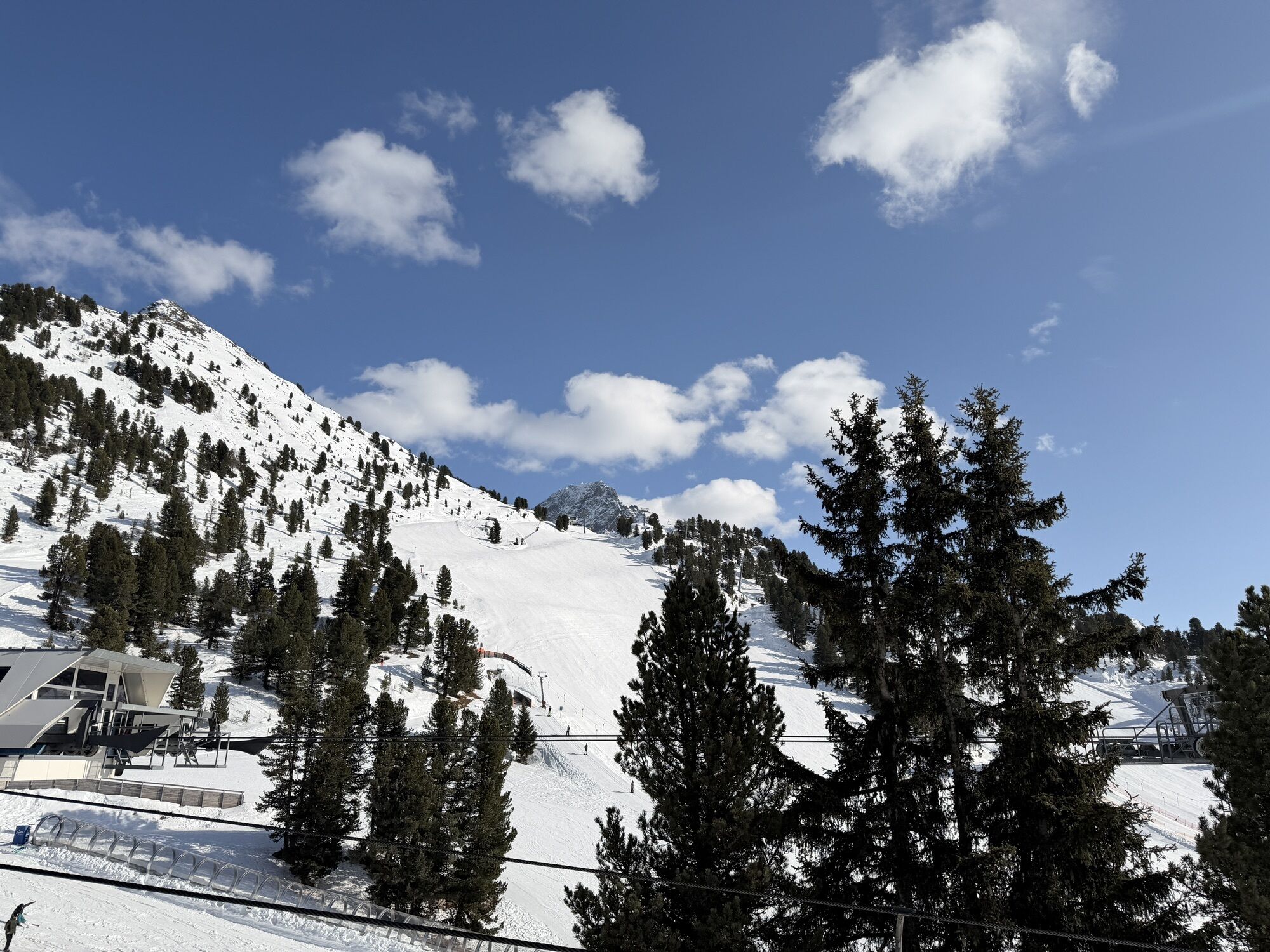
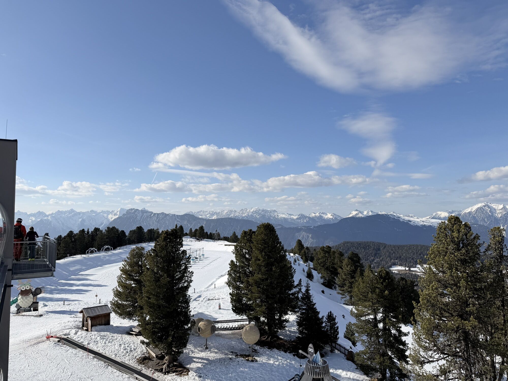
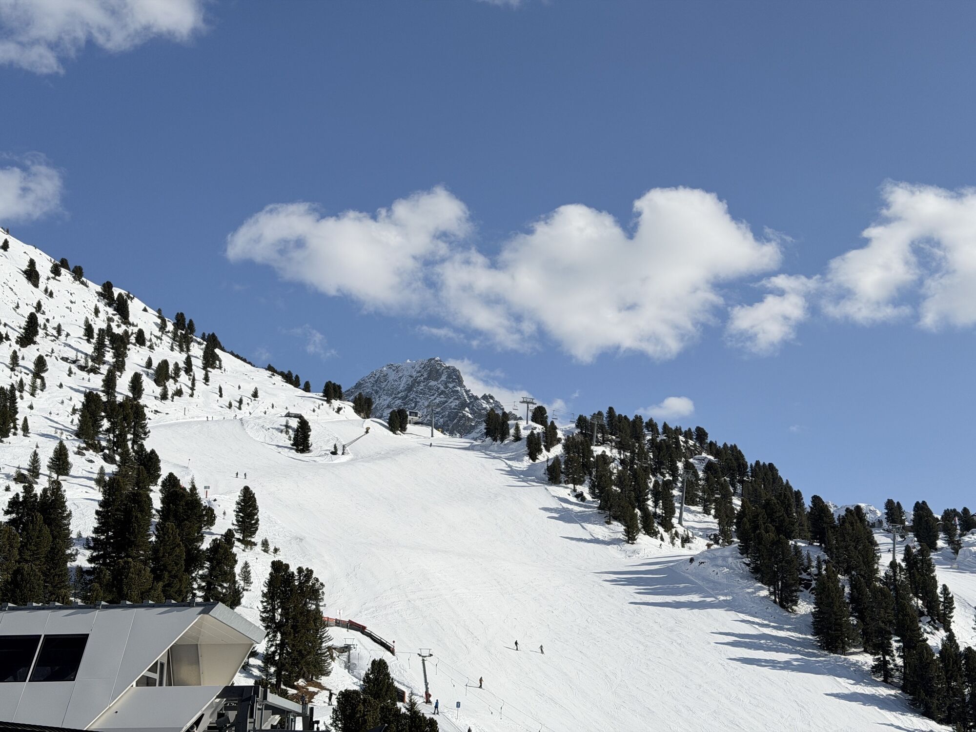
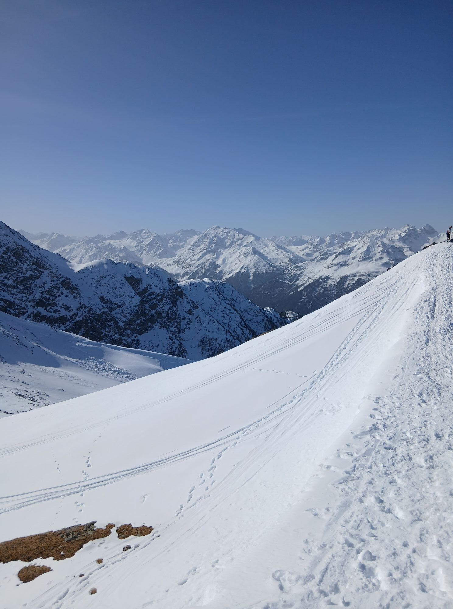
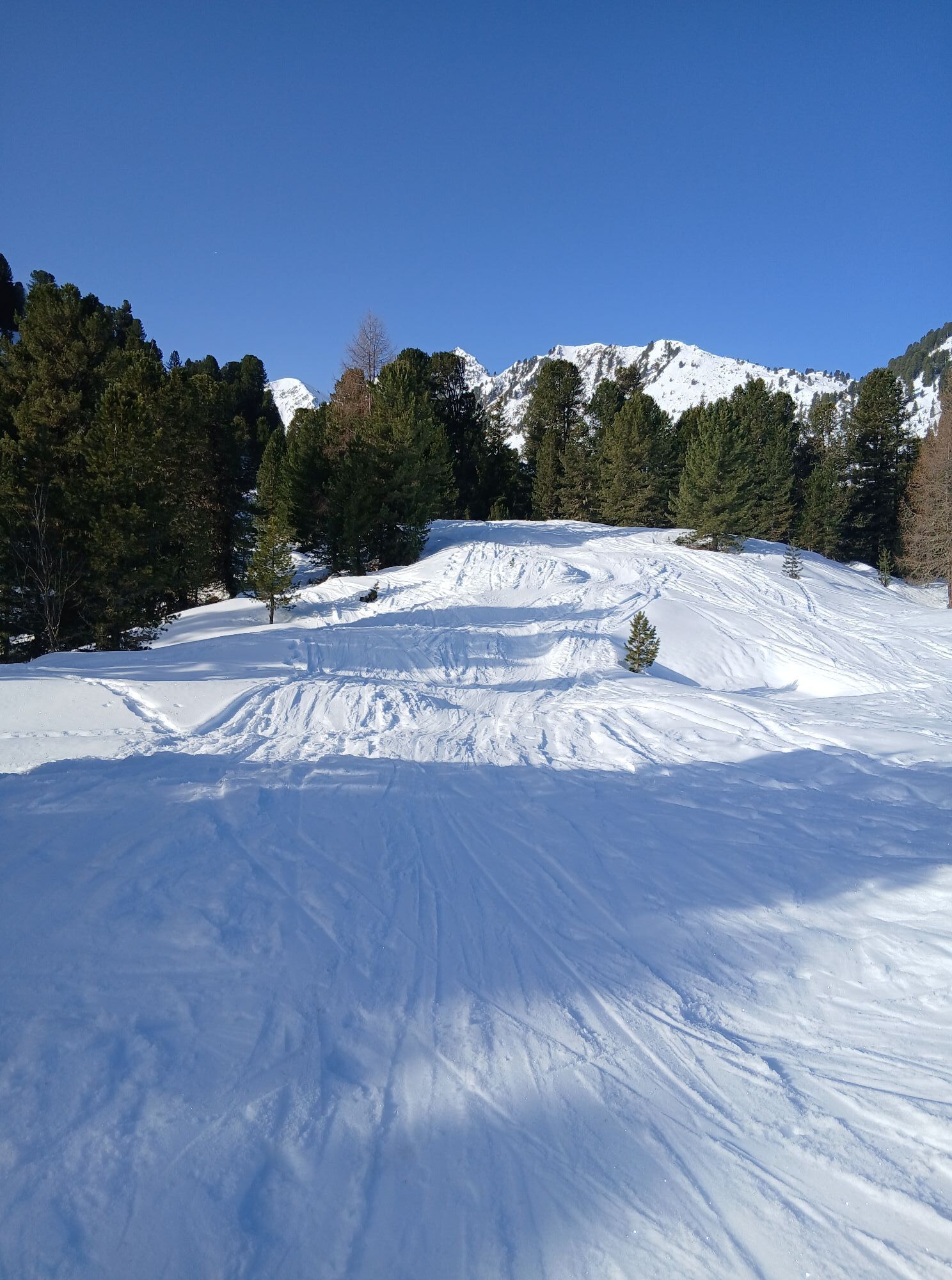
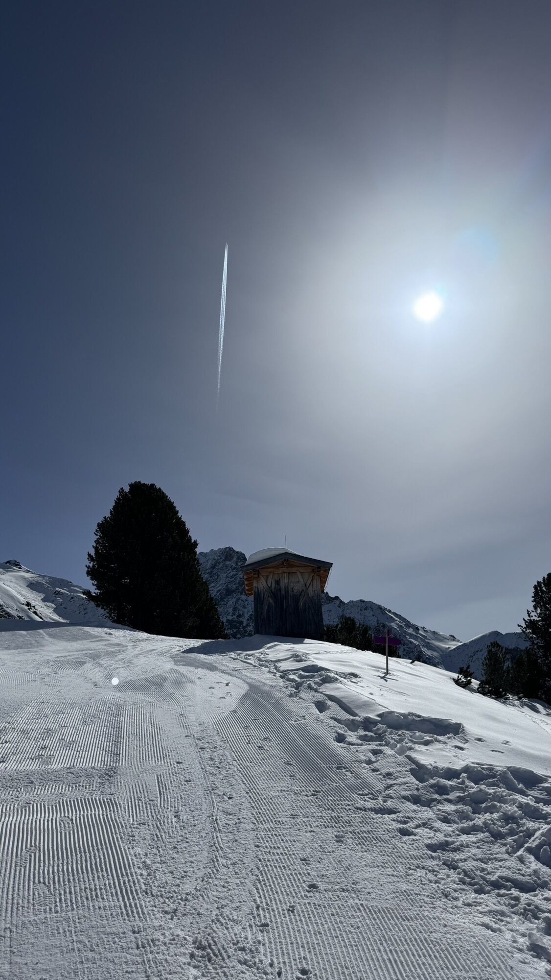
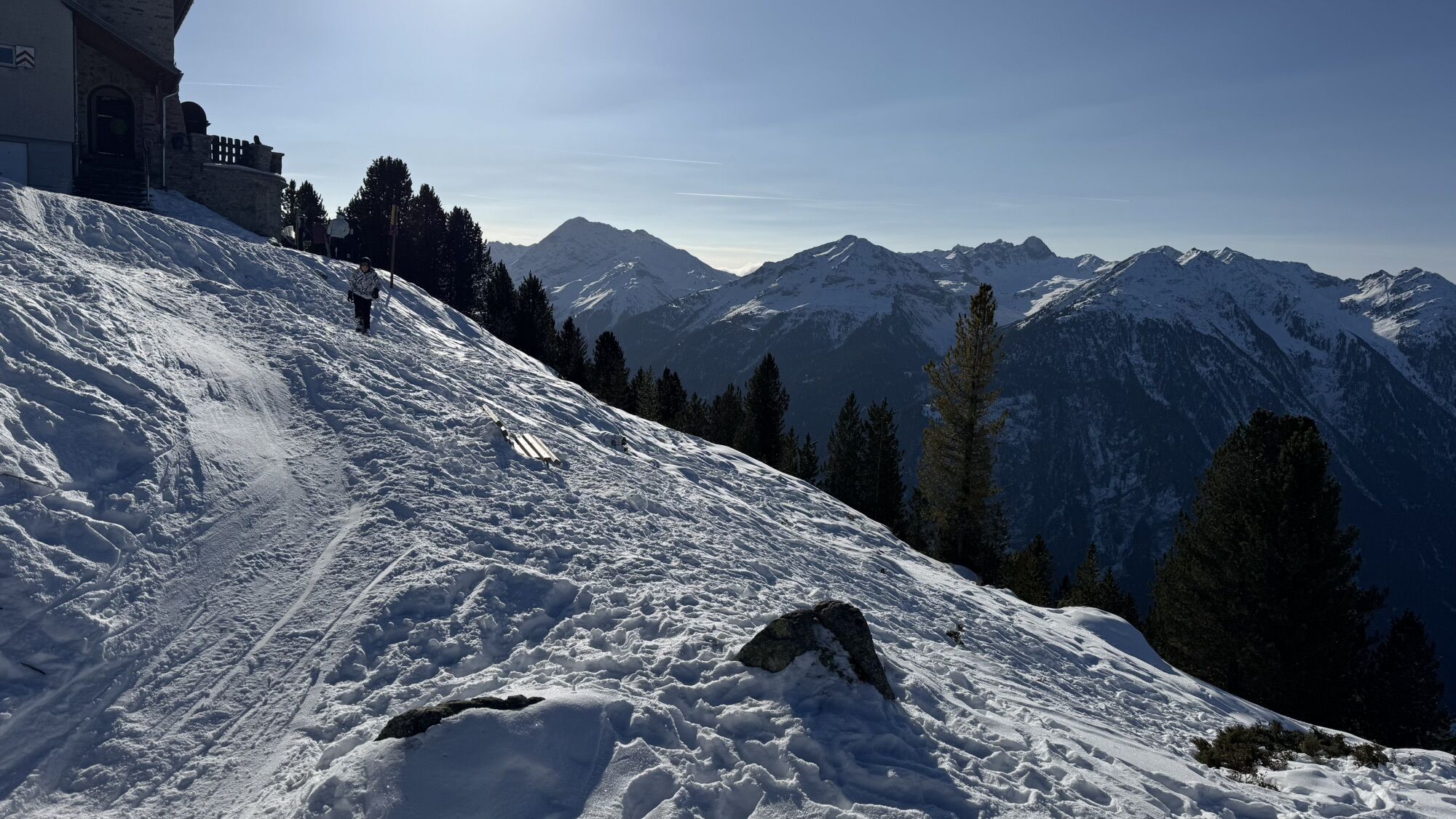
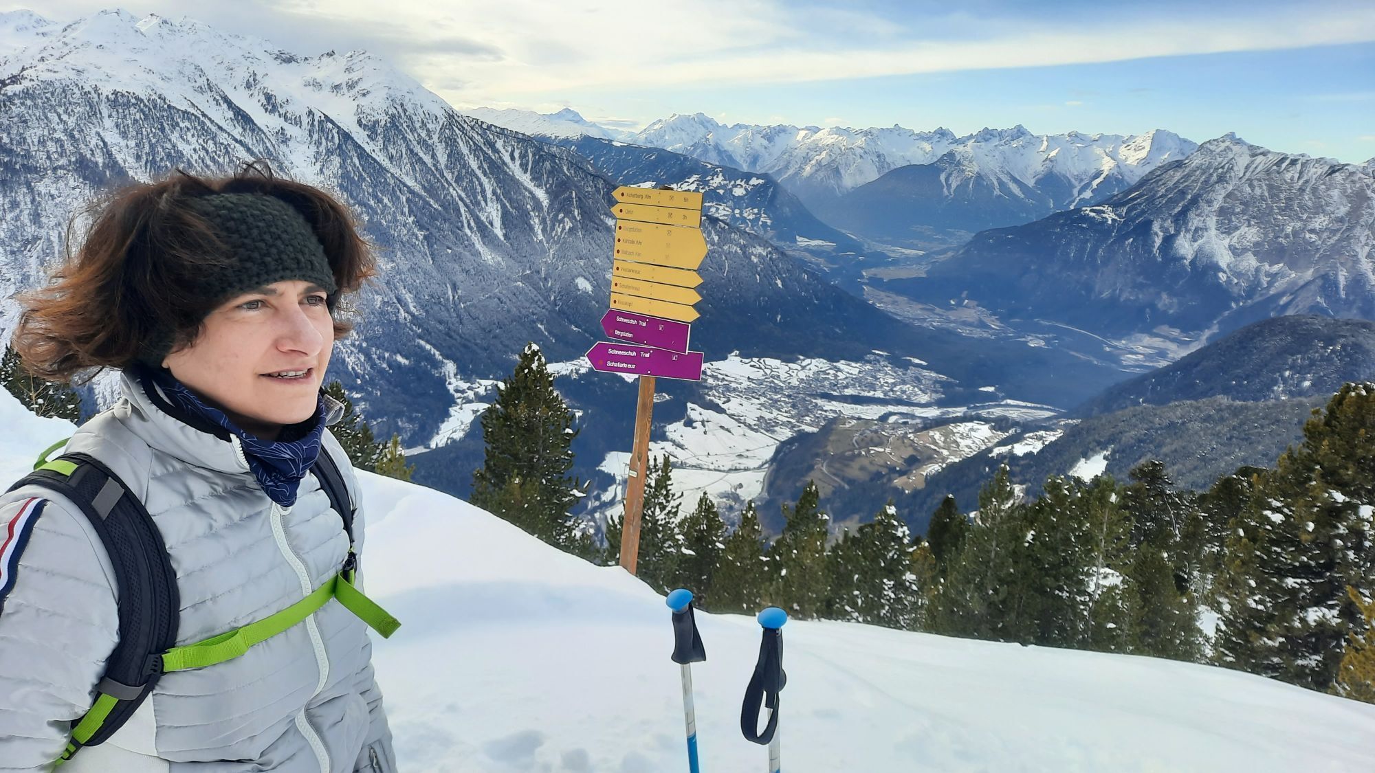
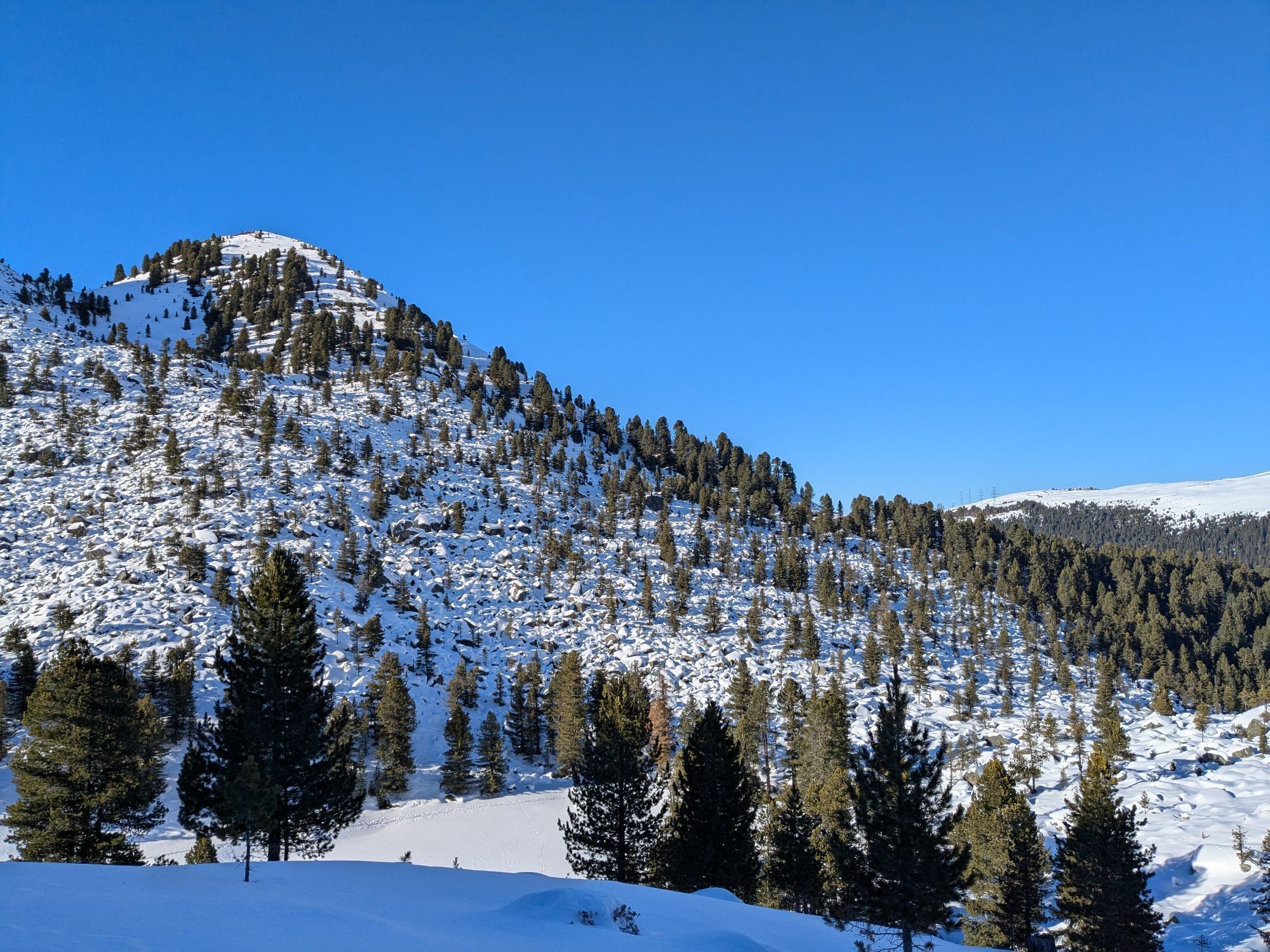
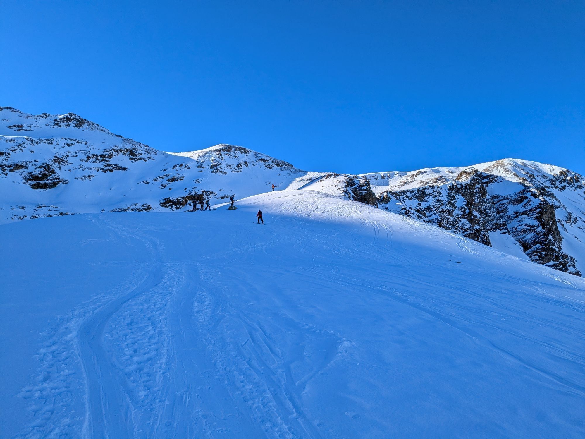

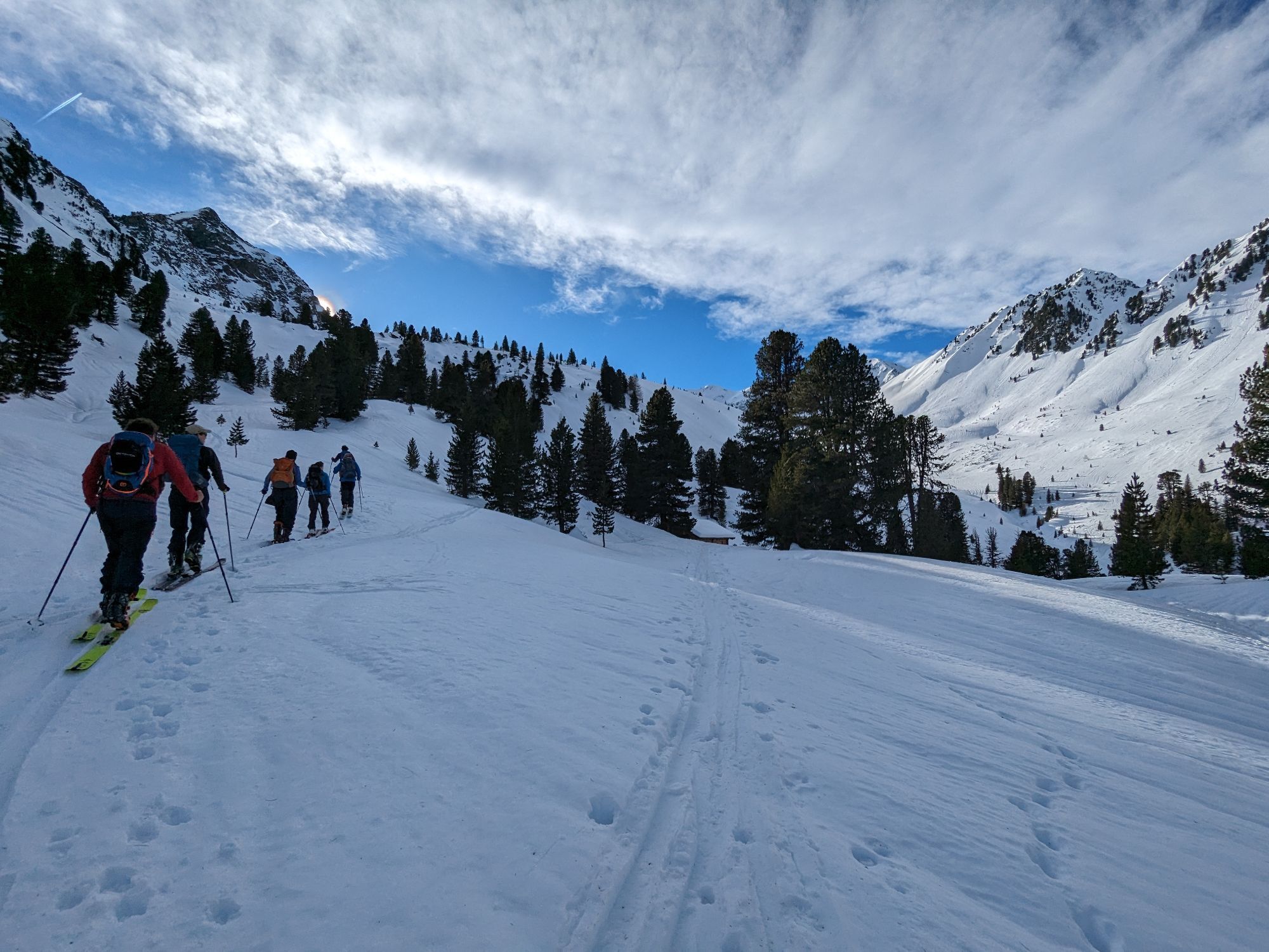
The starting point of the hike is the panoramic restaurant Hochoetz, situated at an altitude of 2,020 meters. From there, a wide forest road initially leads in the direction of the Bielefelder Hütte. Shortly...
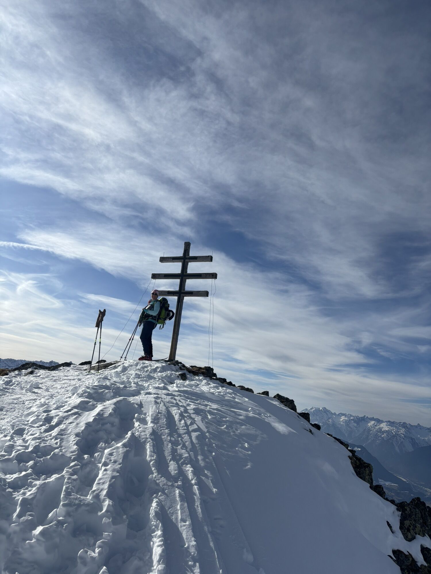
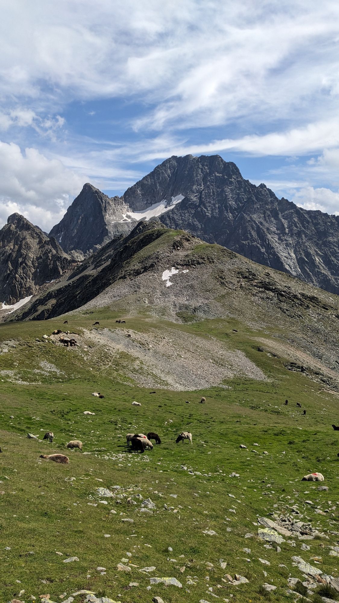
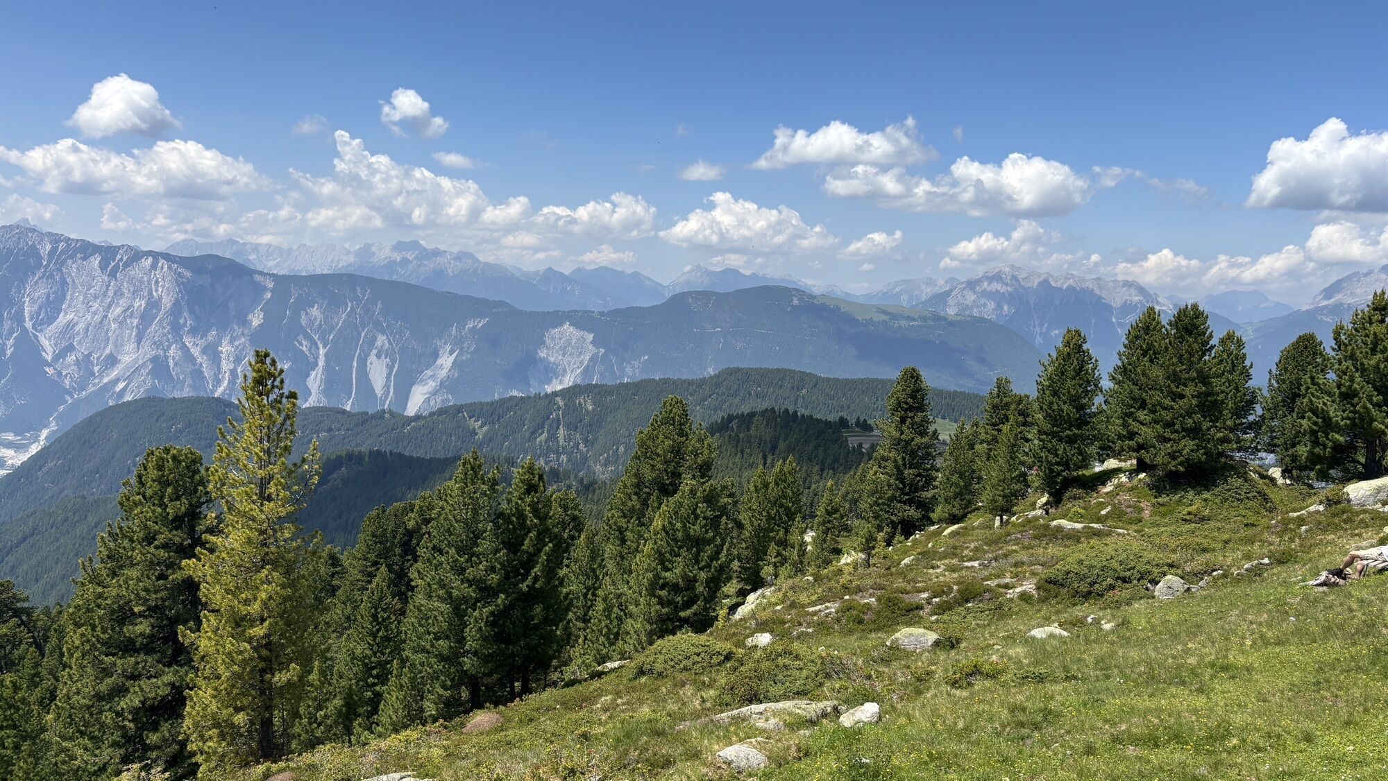
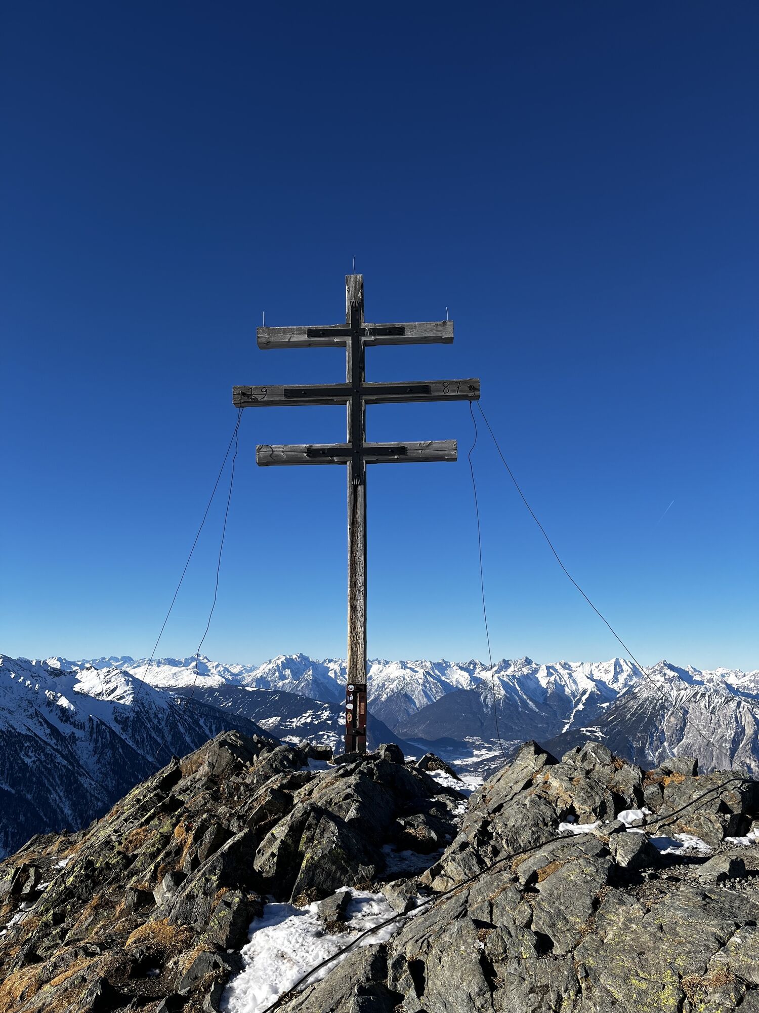
At a fork in the trail, the ascent to the Rosskopf branches off to the left, while the path to the right continues toward the Wetterkreuz, which is reached after a moderate climb. From the summit, hikers are rewarded with a stunning panorama of the Stubai Alps and the Mieming Range, perfect for a short break with a view.
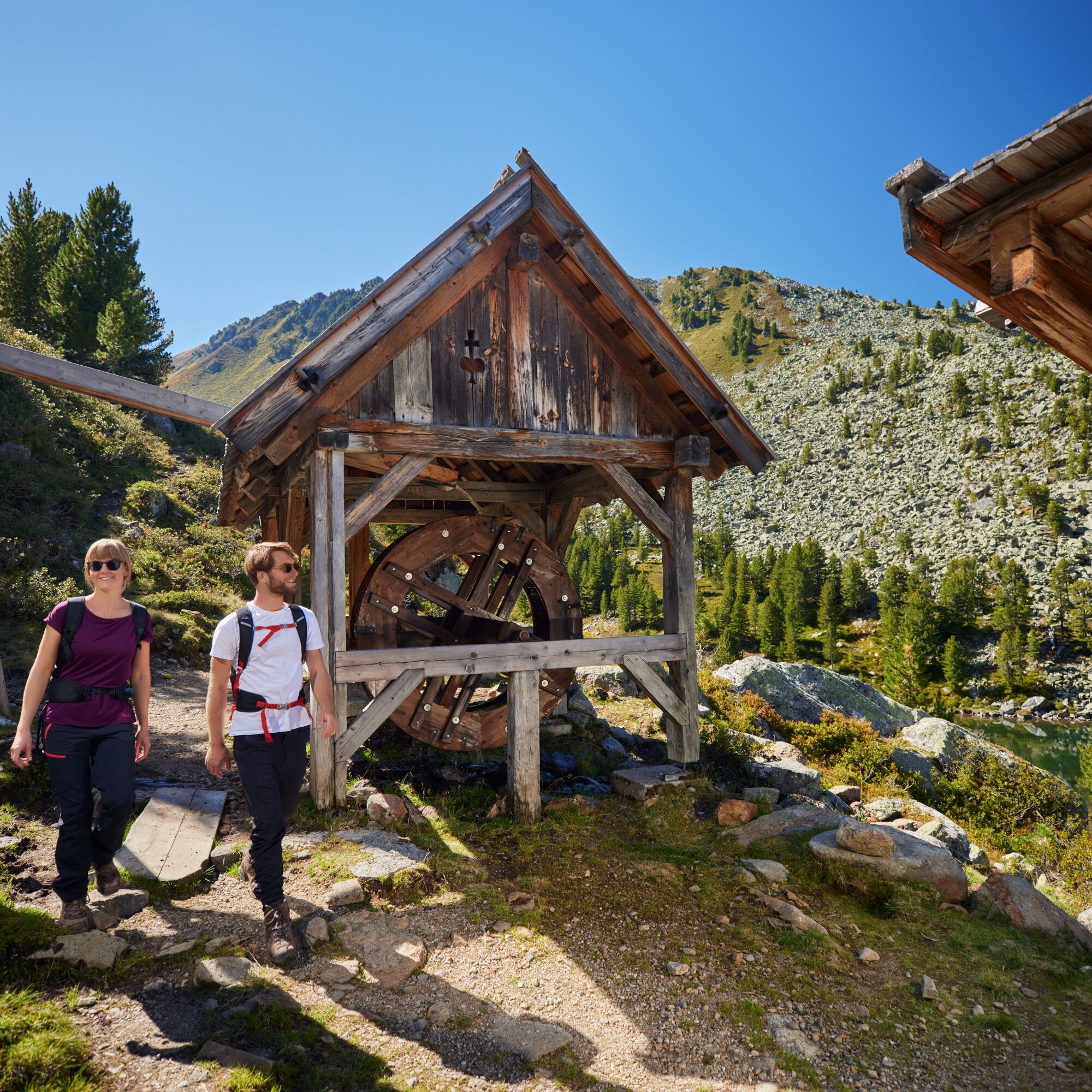
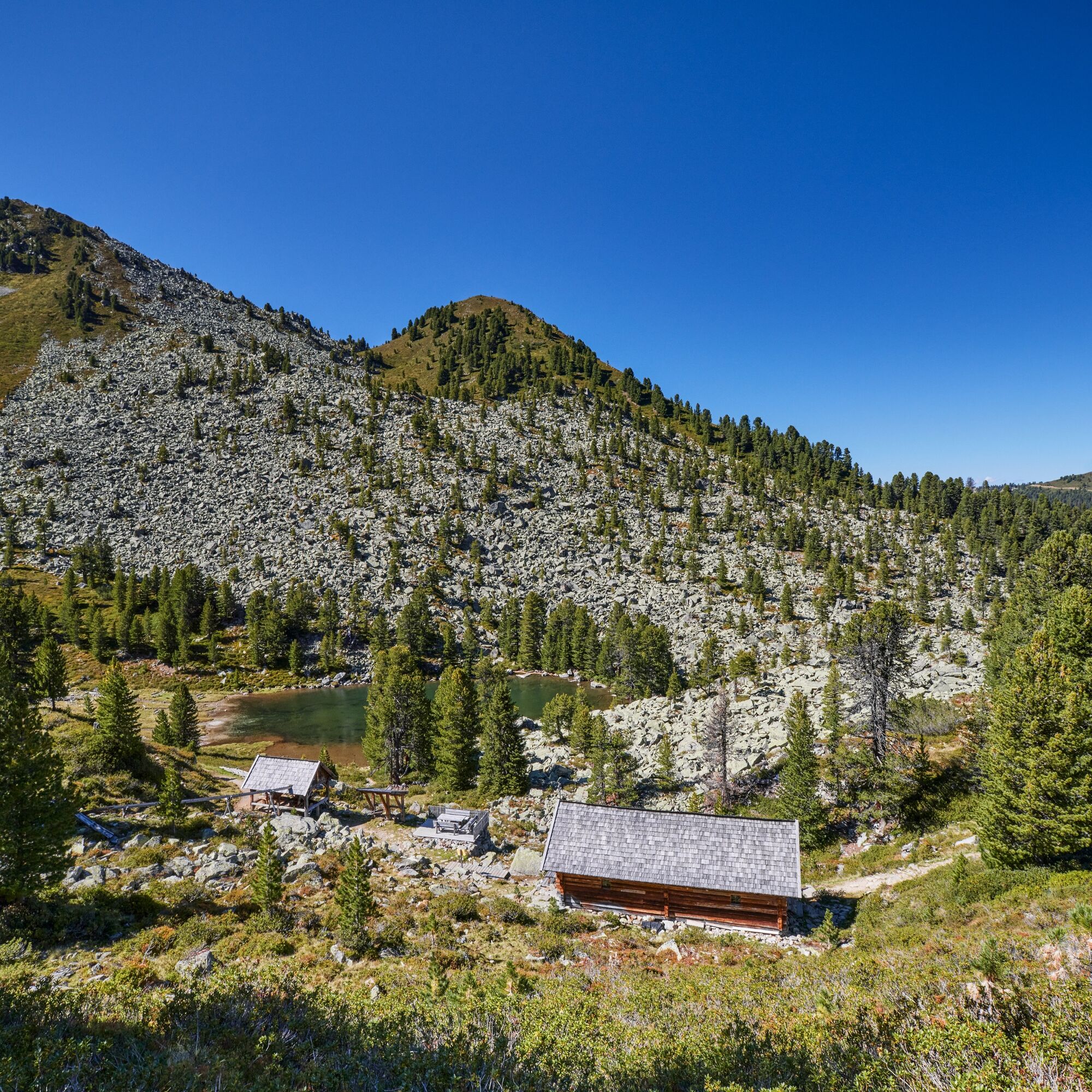
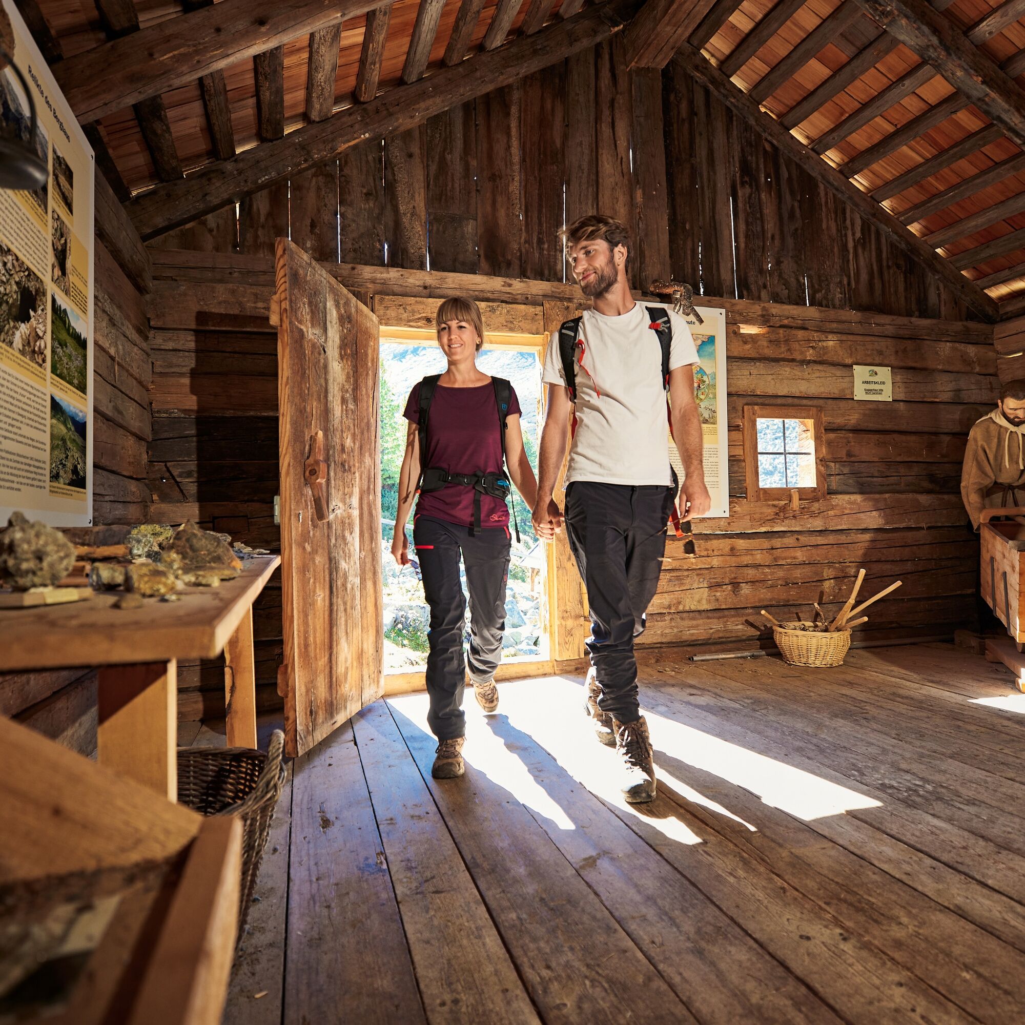
The descent follows the backside of the Wetterkreuz down into the wild and romantic Wörgetal valley. A narrow trail winds through this remote section of the valley until it reaches the Knappenhaus with Pochwerk. This faithfully reconstructed ore processing plant. Here, visitors are immersed in the region's over 350-year-old mining histor. This is a true highlight of the tour.
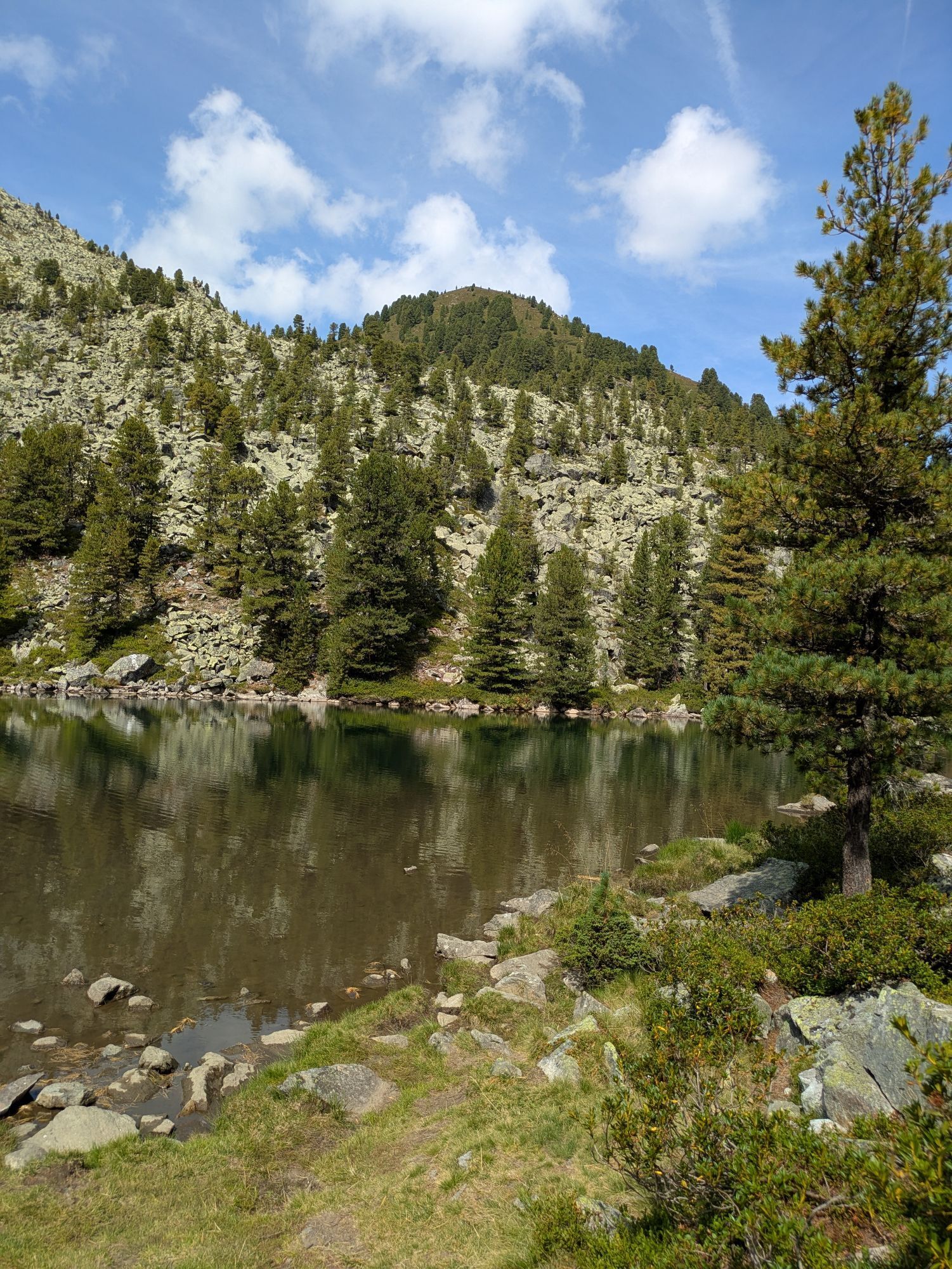
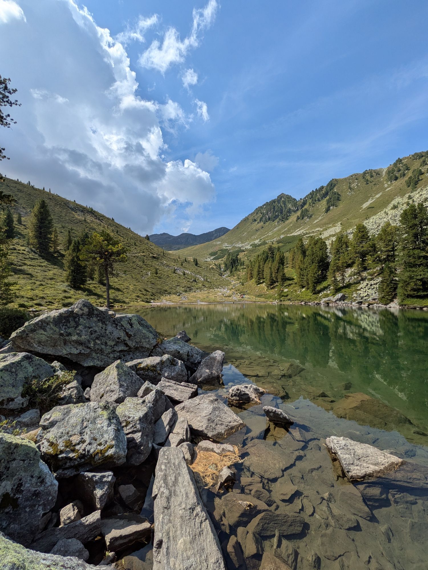
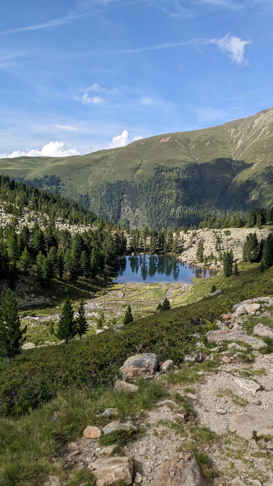
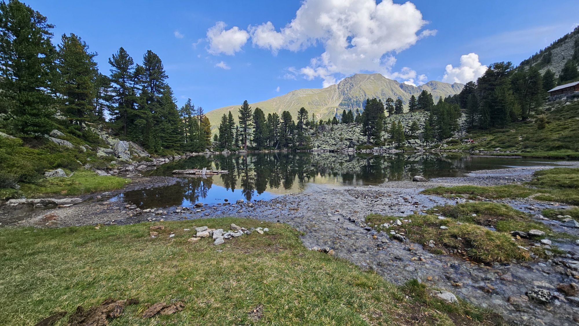
A bit further on, the trail passes by the idyllic Pucher See, then continues past the ruined Obere Issalm, and finally descends to the Issbrücke, where a bus conveniently takes you back to Oetz.
Tip: Discover the Knappenweg with the free Hearonymus audio guide!

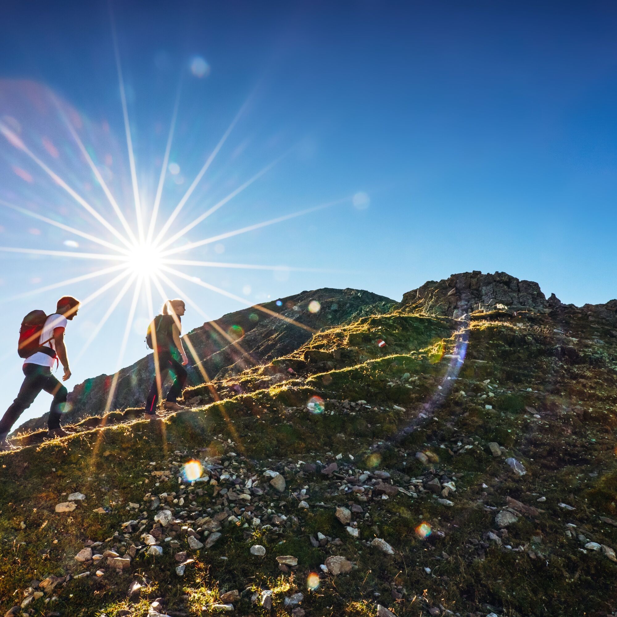

At a fork in the trail, the ascent to the Rosskopf branches off to the left, while the path to the right continues toward the Wetterkreuz, which is reached after a moderate climb. From the summit, hikers are rewarded with a stunning panorama of the Stubai Alps and the Mieming Range, perfect for a short break with a view.
The descent follows the backside of the Wetterkreuz down into the wild and romantic Wörgetal valley. A narrow trail winds through this remote section of the valley until it reaches the Knappenhaus with Pochwerk. This faithfully reconstructed ore processing plant. Here, visitors are immersed in the region's over 350-year-old mining histor. This is a true highlight of the tour.
A bit further on, the trail passes by the idyllic Pucher See, then continues past the ruined Obere Issalm, and finally descends to the Issbrücke, where a bus conveniently takes you back to Oetz.
Tip: Discover the Knappenweg with the free Hearonymus audio guide!
Oui
Oui
Oui
Appropriate equipment such as breathable suitable outdoor clothes for the weather, ankle-high walking boots, wind-, rain- & sun protection, hat, possibly gloves, is for all hikes and tours necessary. Please bring a first-aid box, a mobile phone, a walking map and if there is no hut on the way a snack and enough to drink.
Good physical condition, mountain experience, and appropriate alpine equipment (see equipment recommendations) are required. Please check the current weather forecast at: www.oetztal.com/en/summer.html
Parking at the Ochsengartencable car station. free parking, camping prohibited
Enjoy the untouched nature at the small lake "Puchersee" beneath the miners museum. Ralax and dream!

 Obtenez un aperçu
Toujours en direct avec plus de 9.500 webcams. En tant qu'utilisateur Pro, vous pouvez désormais voir les webcams correspondantes à de nombreuses randonnées dans l'application de randonnées de bergfex. Vous pouvez ainsi voir directement les conditions actuelles.
Obtenez un aperçu
Toujours en direct avec plus de 9.500 webcams. En tant qu'utilisateur Pro, vous pouvez désormais voir les webcams correspondantes à de nombreuses randonnées dans l'application de randonnées de bergfex. Vous pouvez ainsi voir directement les conditions actuelles.
Activités le long du parcours


Parcours populaires à proximité
-
4,2
Randonnée Stuibenfall - Umhausen
facileRandonnée 2,95 km -
4,4
Randonnée circulaire Stuibenfall Umhausen
facileRandonnée 9,32 km -
4,4
Hundstalsee
moyenRandonnée 7,35 km -
4,5
Oetz - Lac Piburger - Oetz
moyenRandonnée 7,16 km -
4,3
Lampsenspitze, Sellrain, Tirol
moyenSki de randonnée 4,97 km -
4,7
Randonnée au sommet Faltegartenköpfl
moyenRandonnée 4,04 km -
4,1
Arzkasten - Lehnberghaus
facileRandonnée 3,08 km -
4,6
Umhausen - Stuibenfall - Umhausen
moyenRandonnée 7,94 km -
4,5
Ascension au sommet de la croix du Wetter à Hochoetz
moyenRandonnée 3,06 km -
4,7
Randonnée circulaire Bergmahderweg - Niederthai
facileRandonnée 7,60 km
Randonnée et suivi


Ne manquez pas les offres et l'inspiration pour vos prochaines vacances
Votre adresse électronique a été ajouté à la liste de diffusion.





