






EB1 Village-Tour
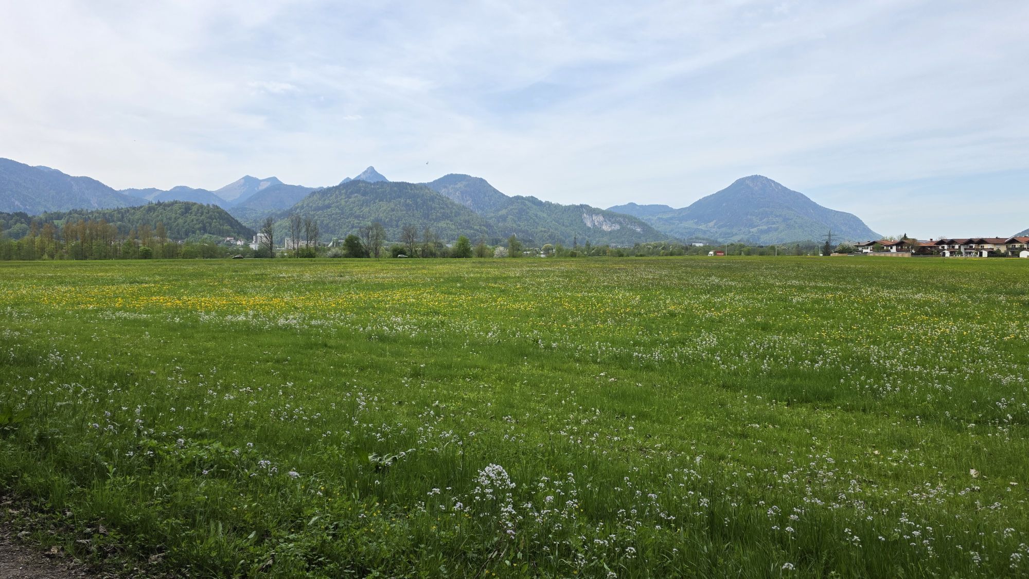
A gently hilly slope, also optimally suitable for beginners.
The cross-country ski run in the village Ebbs (7km) leads from the center of the village to the Schanz and back. A gently hilly slope, also optimally...
A gently hilly slope, also optimally suitable for beginners.
The cross-country ski run in the village Ebbs (7km) leads from the center of the village to the Schanz and back. A gently hilly slope, also optimally suitable for beginners. Prepared for skating and cross-country skiing.
Optional approaches:
Schanz, Billa Supermarket, Hallo Du, Oberndorf

By car either the exit on the A93/ Inntalautobahn Oberaudorf/ Ebbs coming from the north and continue via the B172, L379 and then the B175 to the center of Ebbs at the church. Coming from the south via the exit Kufstein Nord and the B175 likewise to the center of Ebbs.
With the regional bus line 4030 either from Ebbs or Kössen to the stop Ebbs Schulzentrum. With the KufsteinerlandCard within the region bus free of charge.
Kirchplatz village center Ebbs or in the Saliterergasse, free of charge.
Obtenez un aperçu
Toujours en direct avec plus de 9.500 webcams. En tant qu'utilisateur Pro, vous pouvez désormais voir les webcams correspondantes à de nombreuses randonnées dans l'application de randonnées de bergfex. Vous pouvez ainsi voir directement les conditions actuelles.
Parcours populaires à proximité
-
5,0
Priener Hütte
moyenRandonnée 7,99 km -
4,8
Ellmauer Tor (22.07.2020)
moyenRandonnée 9,32 km -
5,0
Schleierwasserfall Runde
moyenRandonnée 5,63 km -
4,7
Musikantensteig zur Naunspitze
moyenRandonnée 8,96 km -
5,0
Stripsenjoch Klettersteige/ Rundwanderung von Griesener Alm über Stripsenjochhaus und Feldberg
moyenVia ferrata 10,2 km -
4,6
Hintersteinersee
moyenRandonnée 9,87 km -
4,6
Geigelstein
moyenRandonnée 14,5 km -
4,9
Gruttenhütte über Klammlweg
moyenRandonnée 5,61 km -
4,5
Über Hintersteinersee und Walleralm aufs Hochegg
facileRandonnée 12,2 km -
4,5
Wanderung: Spitzstein und Altkaseralm von Sachrang
moyenRandonnée 4,03 km
Randonnée et suivi


Ne manquez pas les offres et l'inspiration pour vos prochaines vacances
Votre adresse électronique a été ajouté à la liste de diffusion.





