


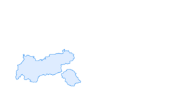

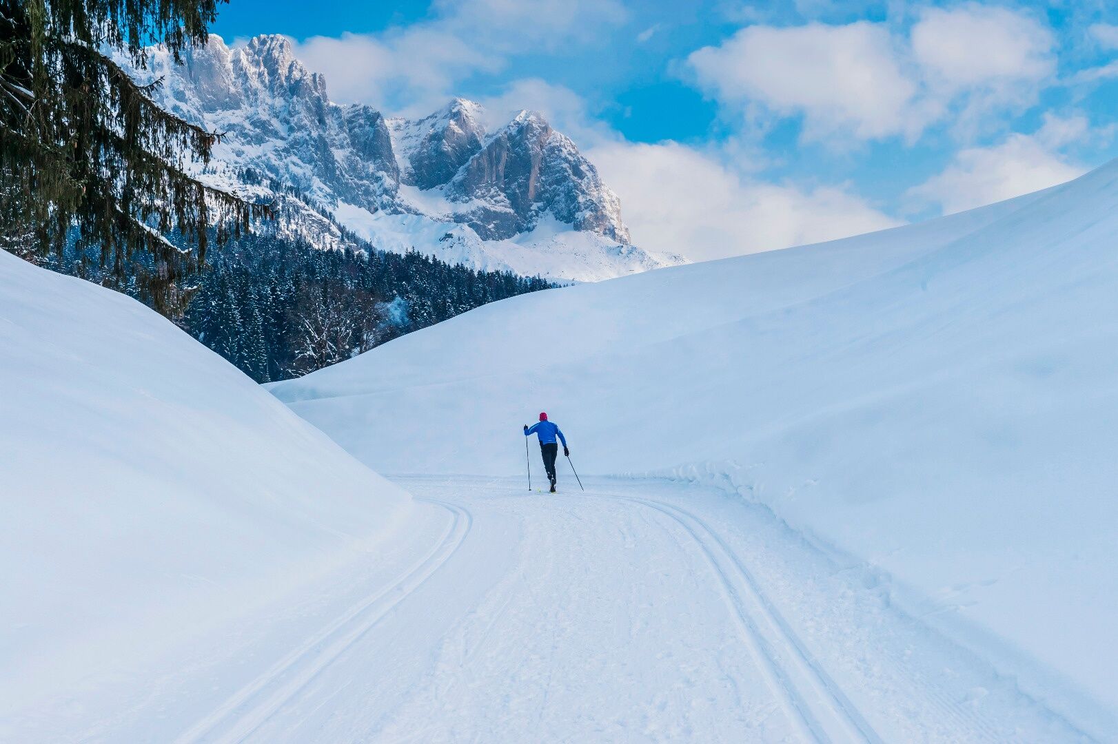
Connecting cross-country ski trail Going–Ellmau
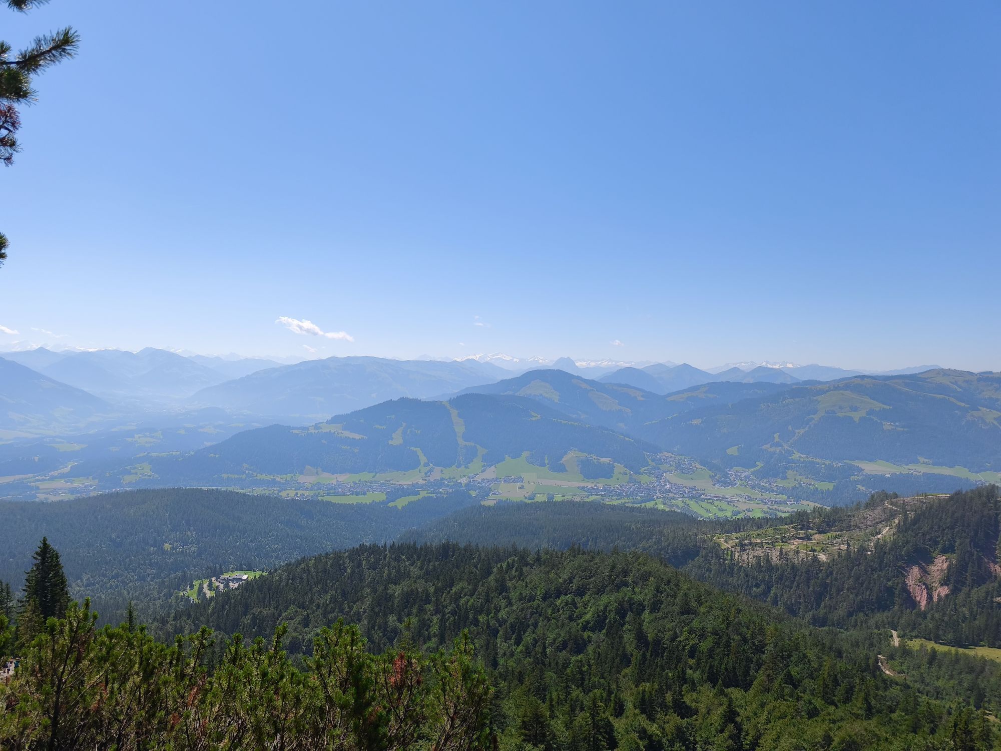
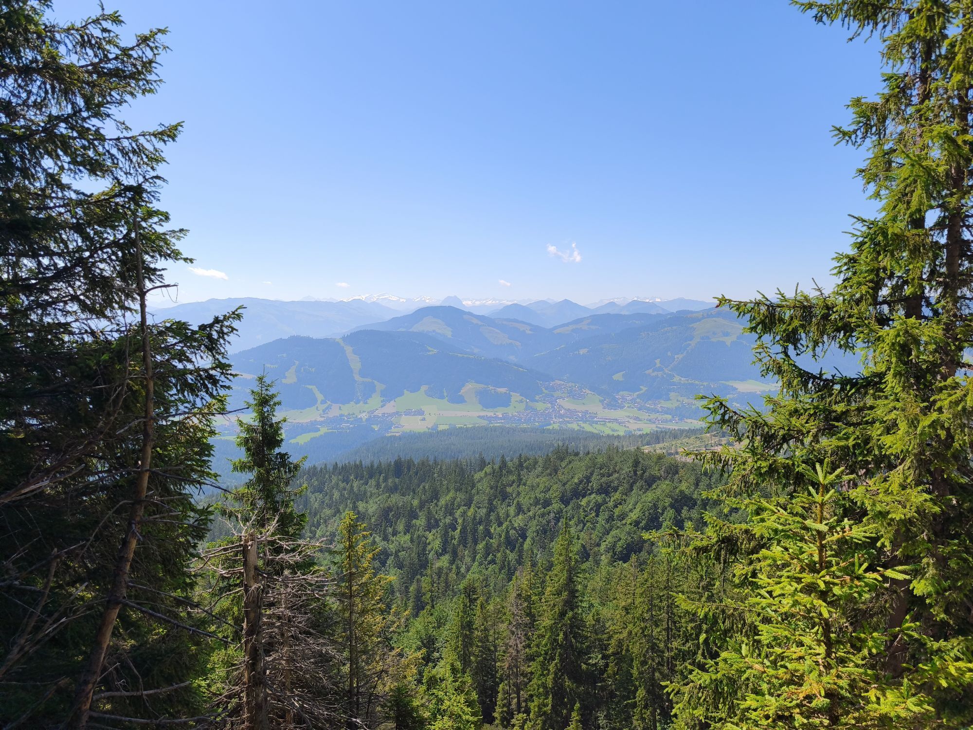
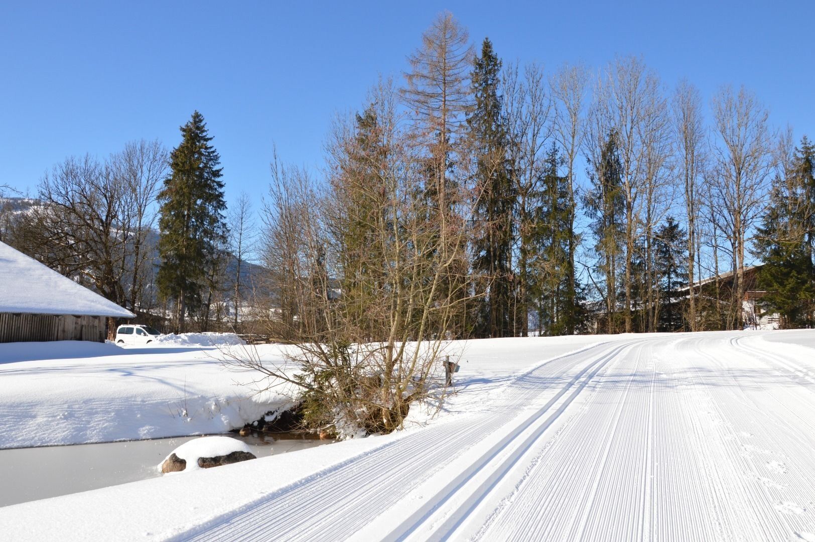
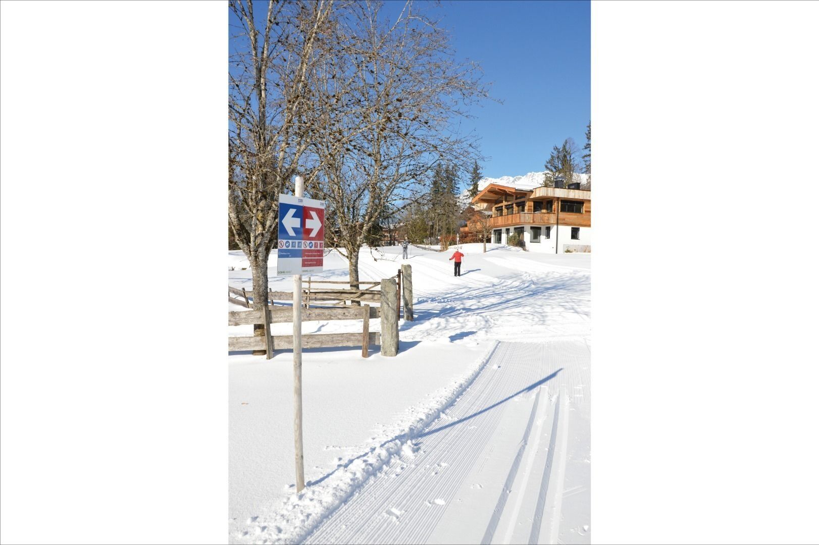
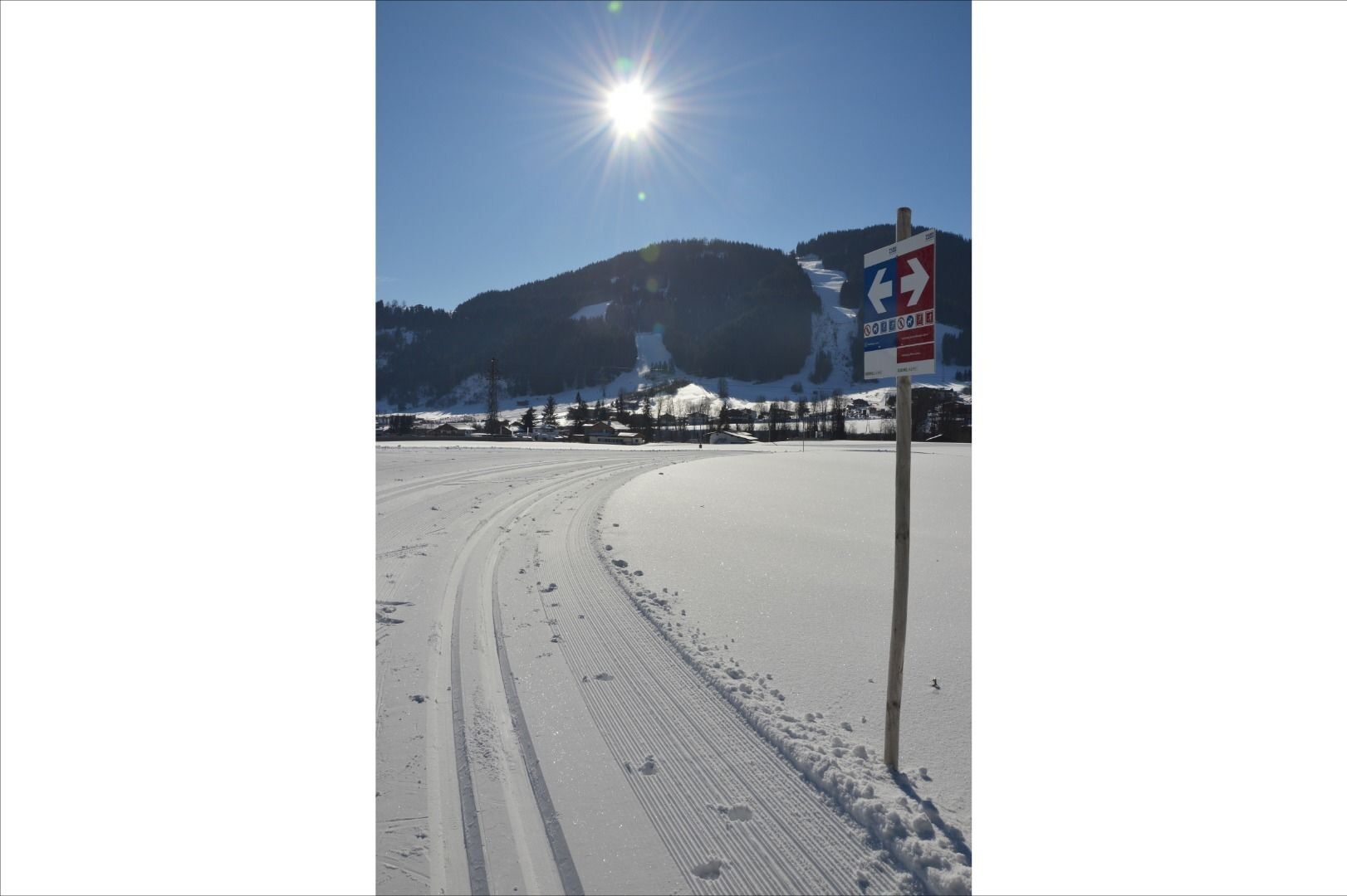
Two villages, one connection - this connection makes it possible for you to continue from the Blattlloipe and Schwendterloipe cross-country trails and head on towards Ellmau. Past the farms and then across...
Two villages, one connection - this connection makes it possible for you to continue from the Blattlloipe and Schwendterloipe cross-country trails and head on towards Ellmau. Past the farms and then across the fields and, with the Wilder Kaiser keeping you close company, you follow the track till you reach the Kaiserloipe Ellmau. The trail itself is impressive for the simplicity of the terrain, making it perfectly suitable for everyone.
Winterkarte - TVB Wilder Kaiser
Heading from St. Johann on the B178 road, take the first exit to Going and drive through the town until you see the Tourist Information Office and the hiking starting point on the left-hand side after crossing the bridge.
More information at: www.wilderkaiser.info
Car park opposite the hiking starting point (located to the left of the road and before the bridge; 764 m) - for free
KaiserBad car park, Ellmau (777 m) – for free
Parcours populaires à proximité
- 4,7
Kirchdorf: Zur geheimnisvollen Teufelsgasse
moyenRandonnée 7,90 km - 4,2
Erpfendorf: Griesbachklamm
moyenRandonnée 10 km - 4,9
Streif Wanderweg
moyenRandonnée 5,73 km - 4,7
Musikantensteig zur Naunspitze
moyenRandonnée 8,96 km - 4,6
St. Johann in Tirol: Wasserfall & 3 Seen am Kitzbüheler Horn
moyenRandonnée 12,7 km - 4,5
Über Hintersteinersee und Walleralm aufs Hochegg
facileRandonnée 12,2 km - 4,5
Wanderung um den Hintersteinersee
facileRandonnée 5,29 km - 4,6
Hintersteinersee
moyenRandonnée 9,87 km - 5,0
Stripsenjoch Klettersteige/ Rundwanderung von Griesener Alm über Stripsenjochhaus und Feldberg
moyenVia ferrata 10,2 km - 4,9
Route 209: Brechhornhaus-Choralpe
difficileVTT 24,4 km
Randonnée et suivi


Ne manquez pas les offres et l'inspiration pour vos prochaines vacances
Votre adresse électronique a été ajouté à la liste de diffusion.