
Ski tour Debantgrat 3.052m
difficile
Télécharge cette visite sur ton portable
Ski tour Debantgrat 3.052m
difficile
Ski de randonnée
15,74
km
Scanner le code QR et commencer la navigation dans l'application bergfex


Randonnée & tracking





Ski tour Debantgrat 3.052m
difficile
Distance
15,74
km
Durée
07:30
h
Ascension
1 829
m
Altitude
1 163 -
3 016
m
Téléchargement de la piste
Ski tour Debantgrat 3.052m
difficile
Ski de randonnée
15,74
km
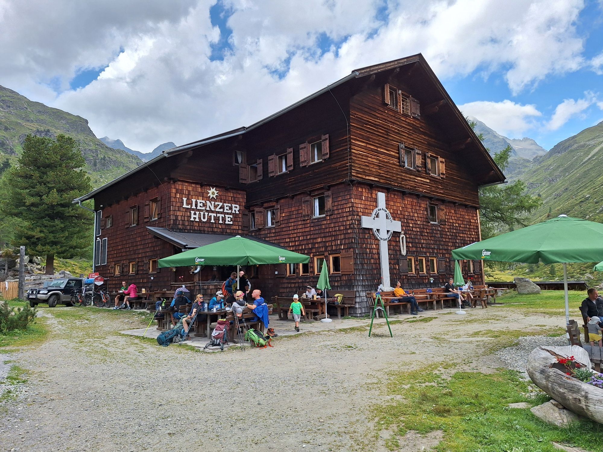
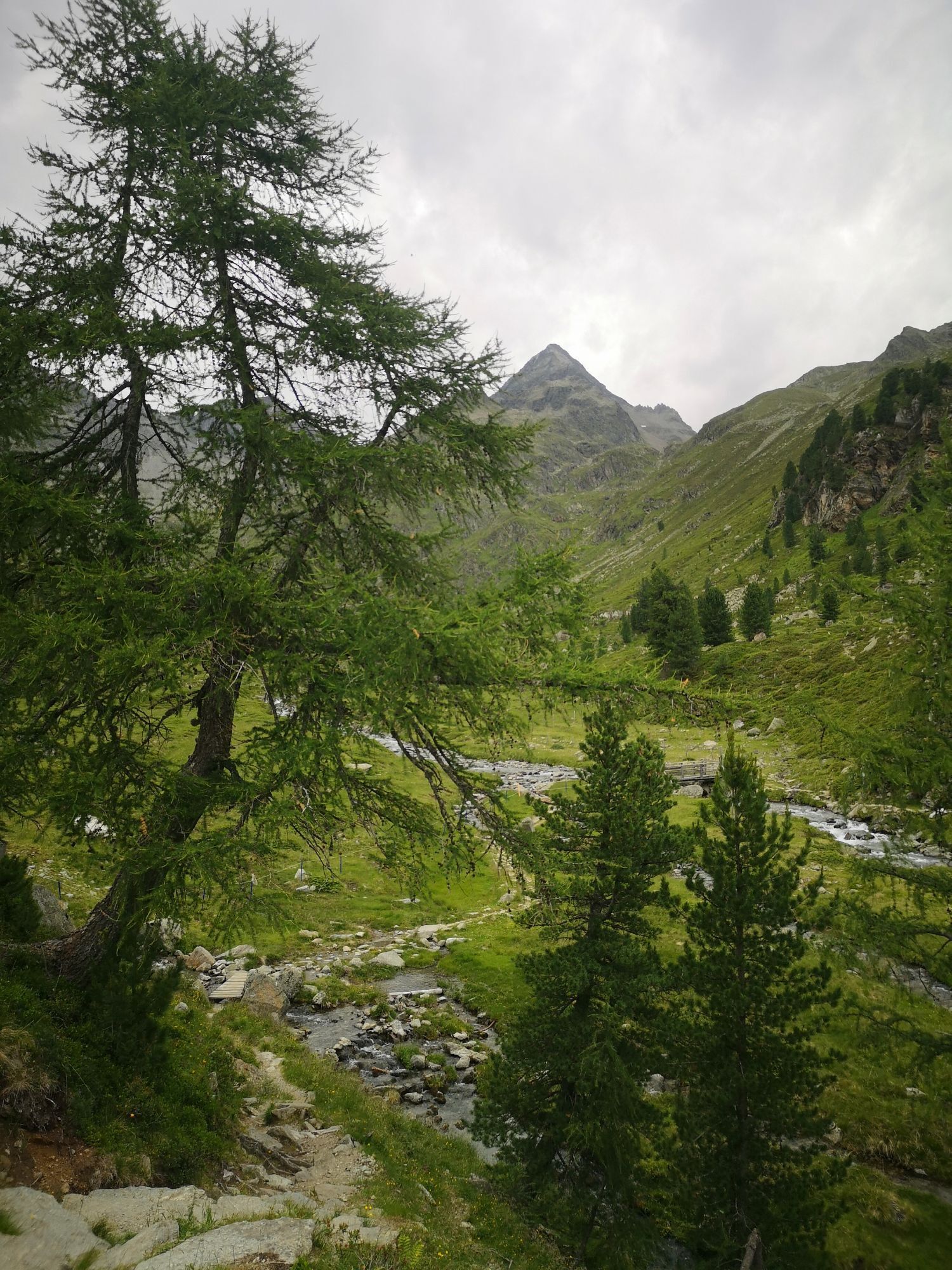
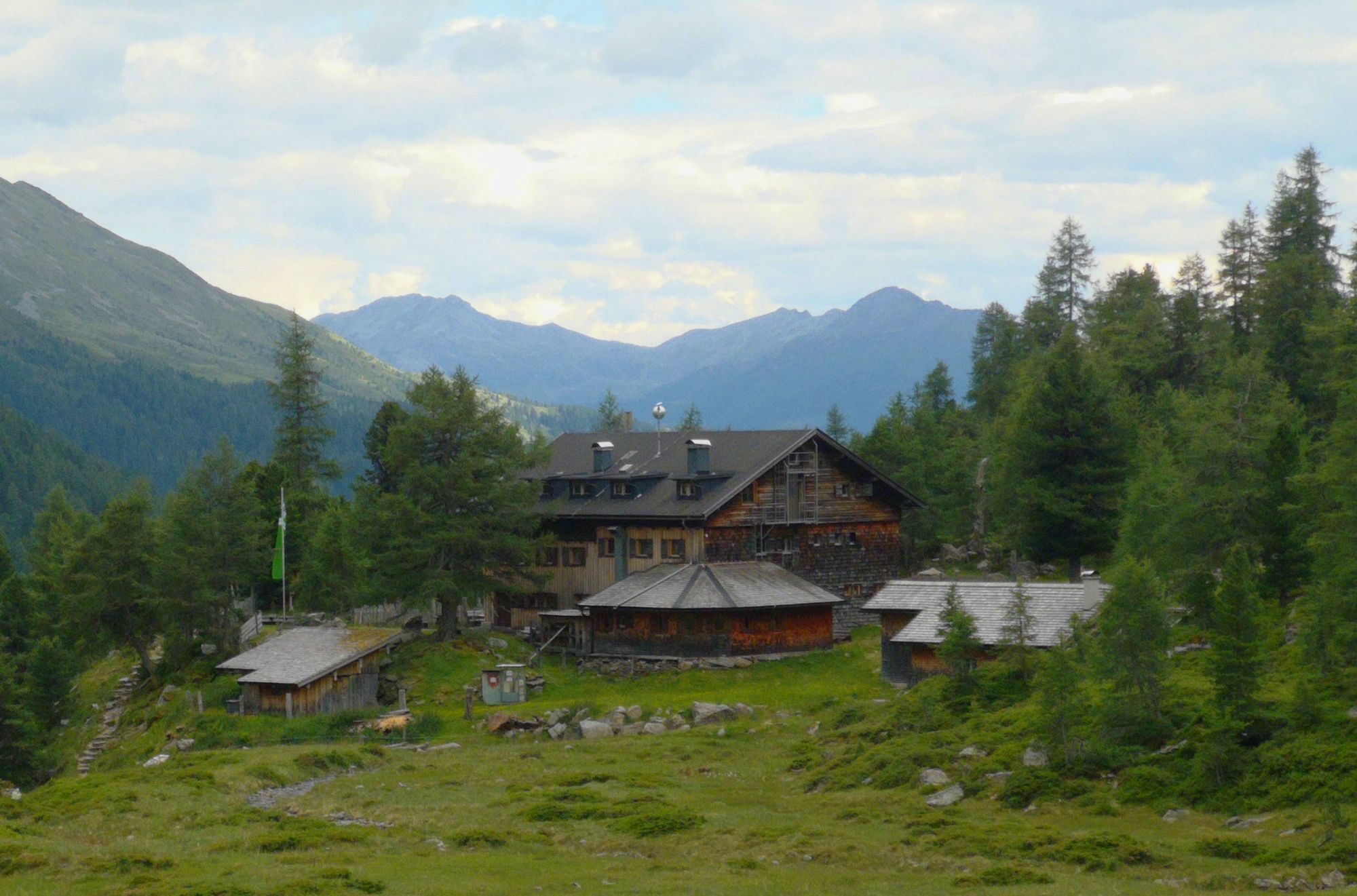
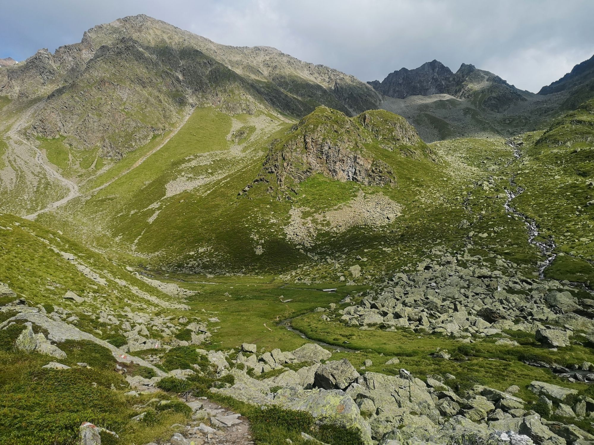


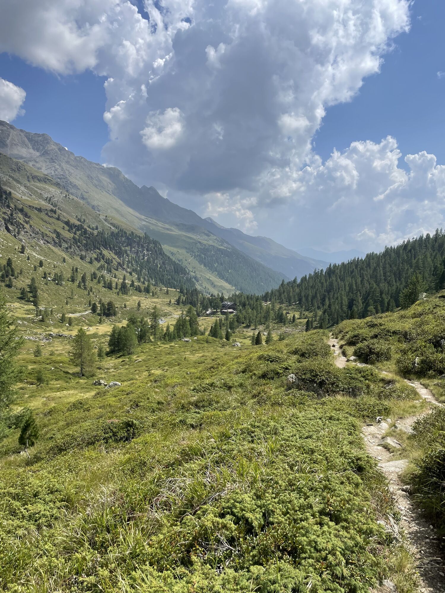
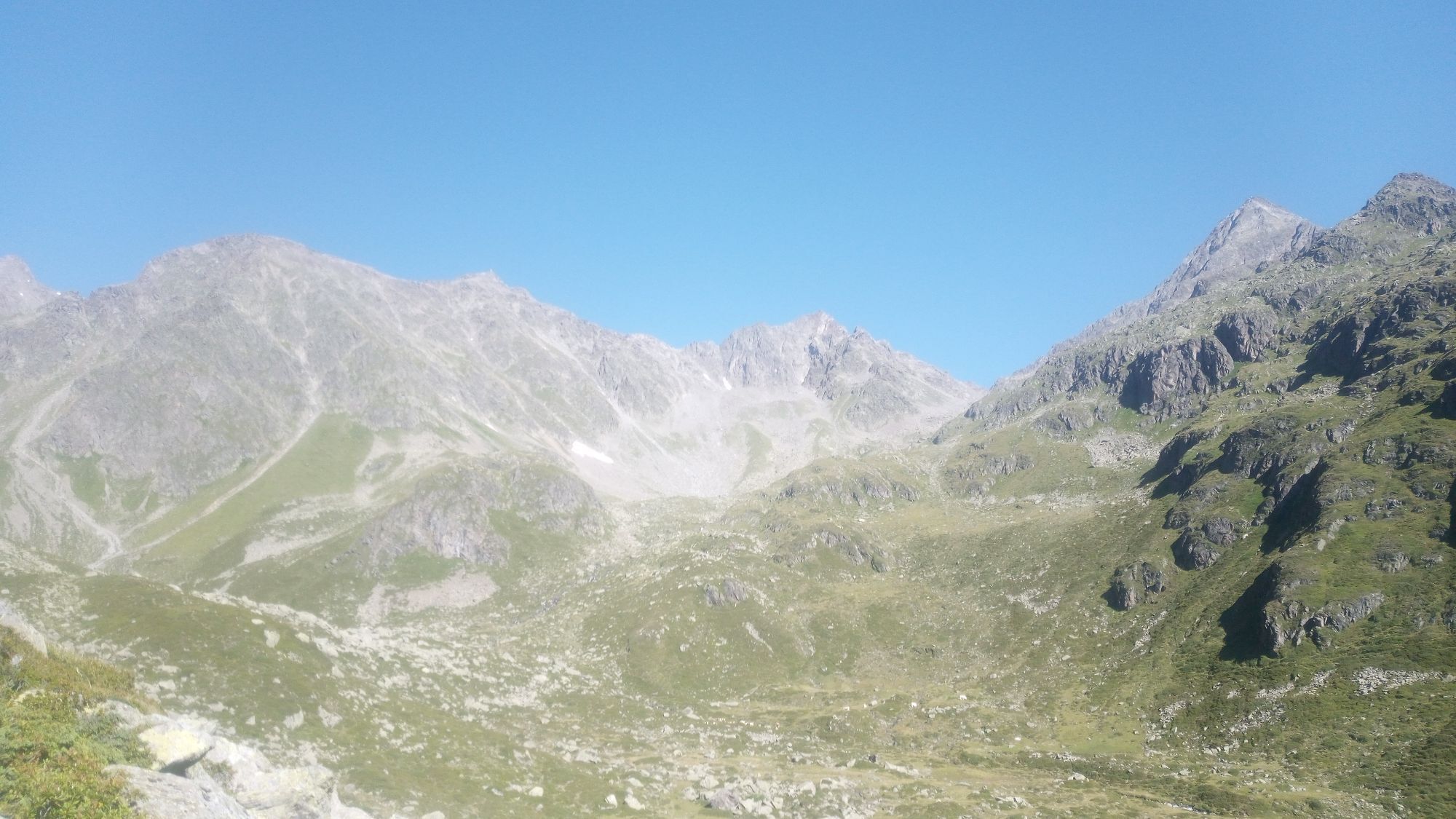
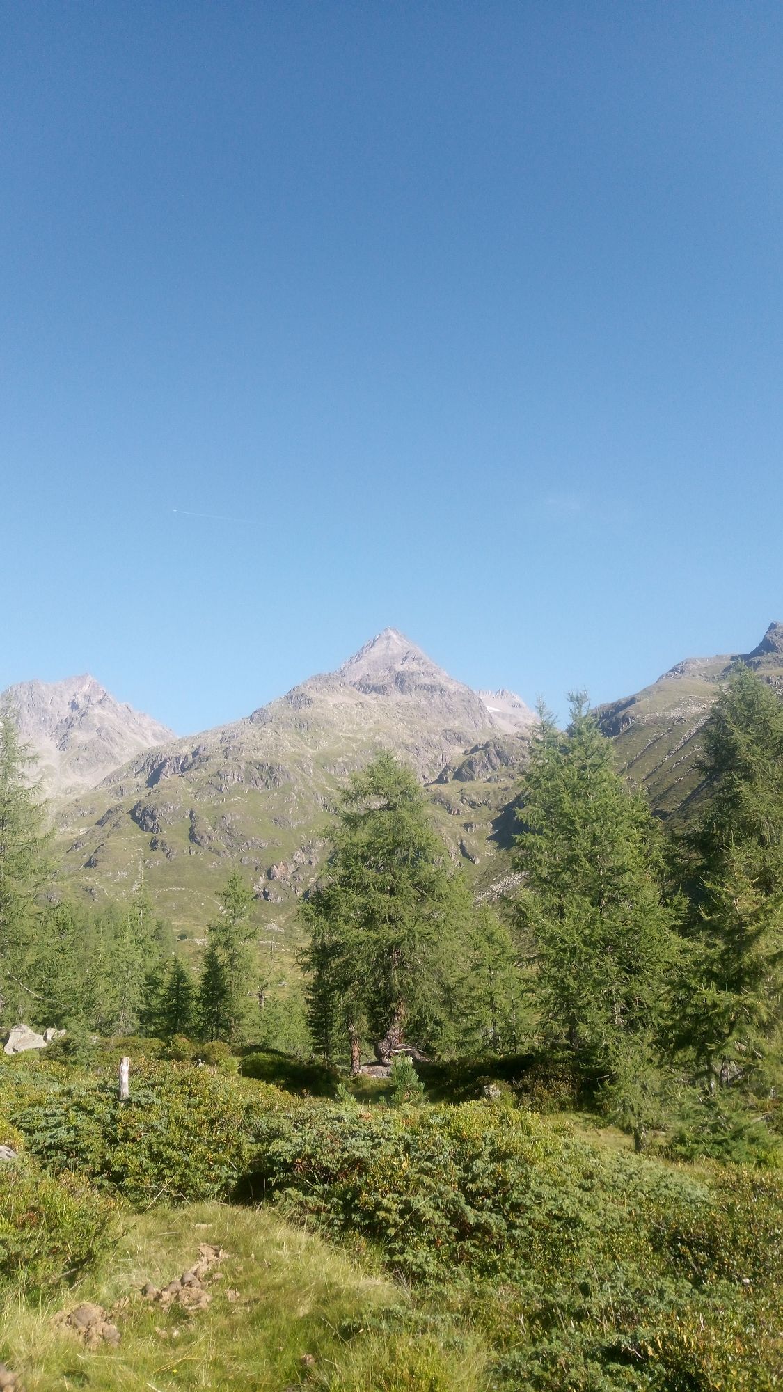
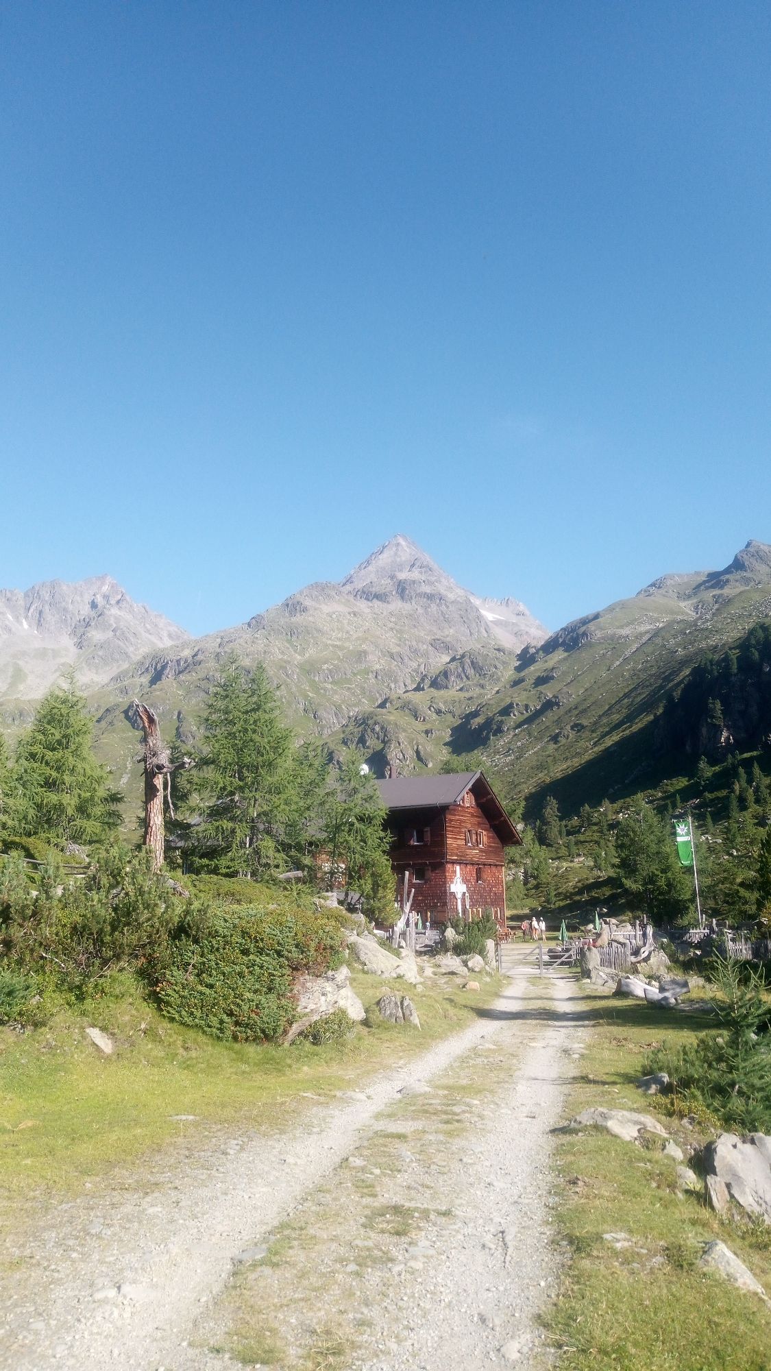
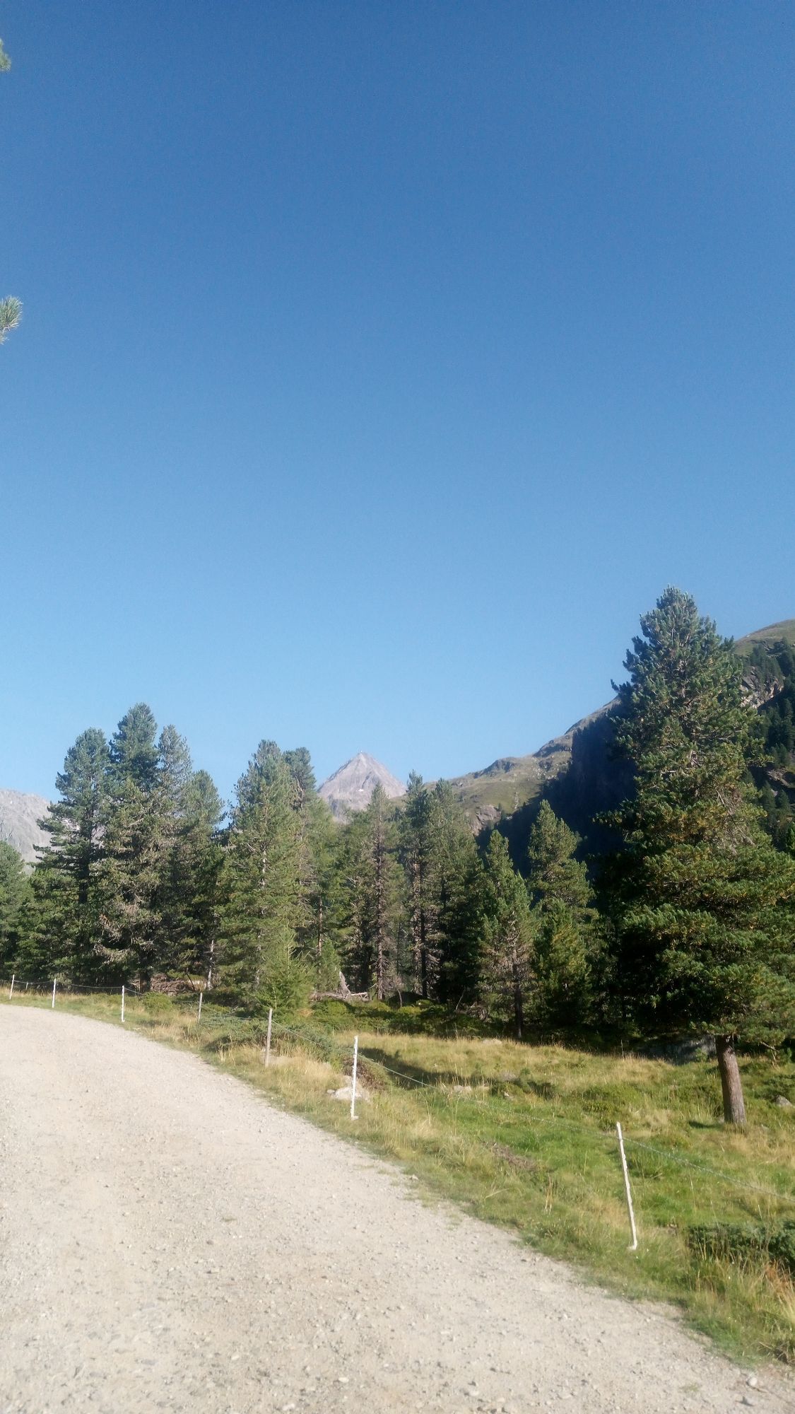
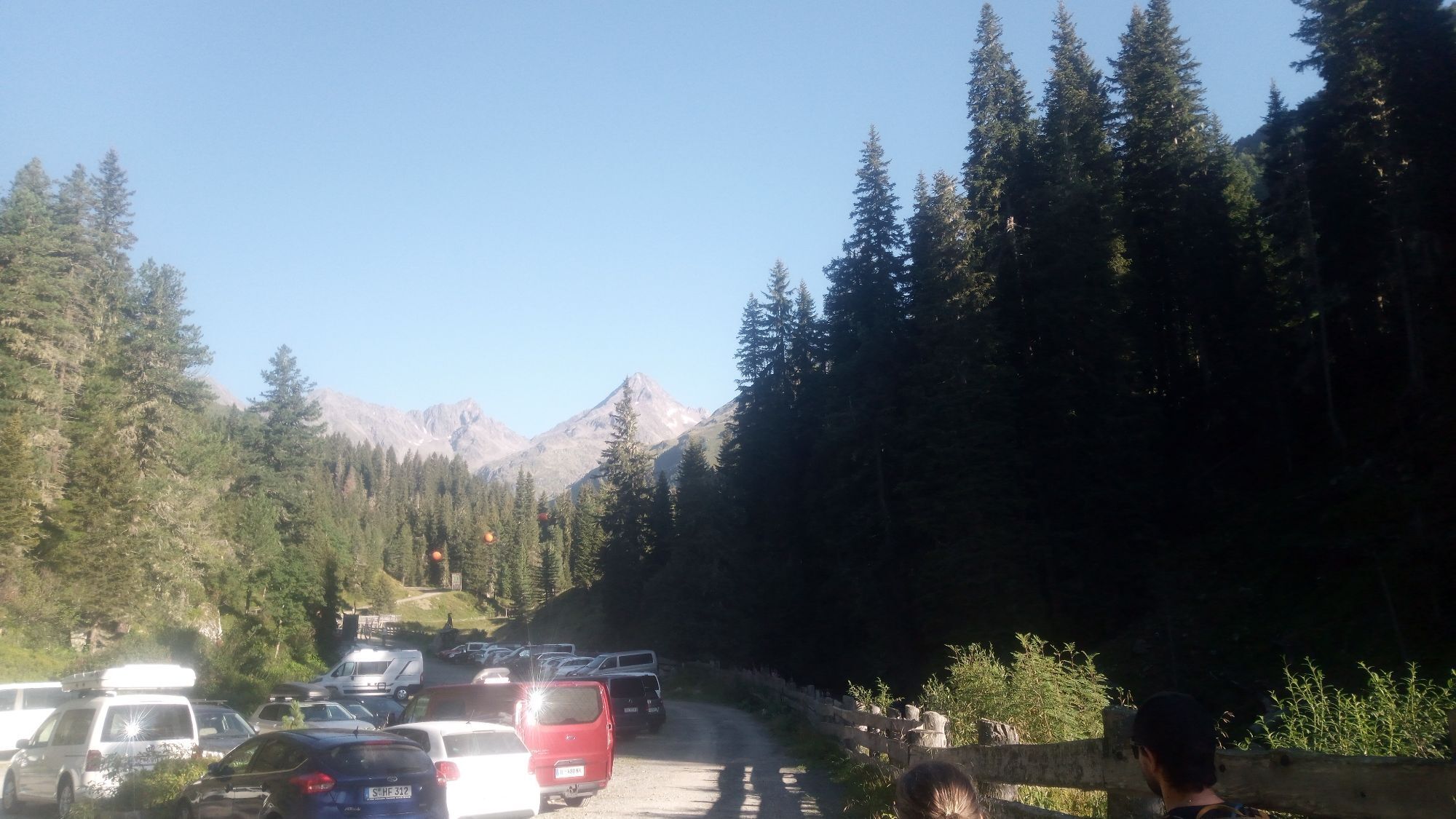
Tackling the long drawn-out summit of the Debantgrat, also known as the Viehkofel, is, in mountain ski tour terms, the reserve of the fastidious walker. As a north-eastern neighbour of the Hochschober,...
Description
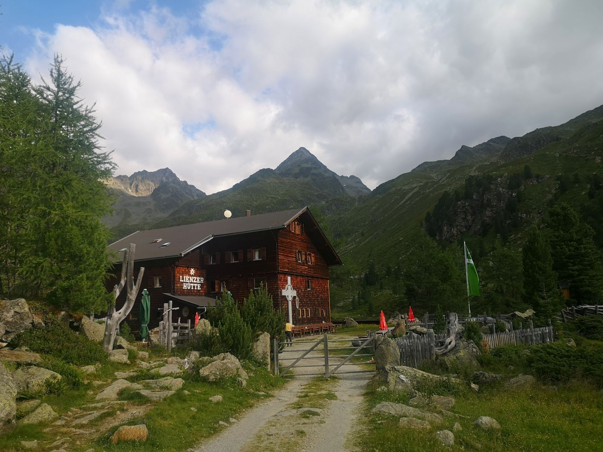
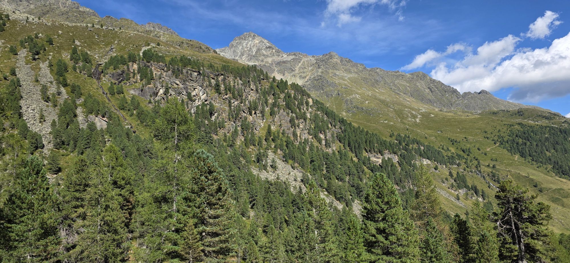
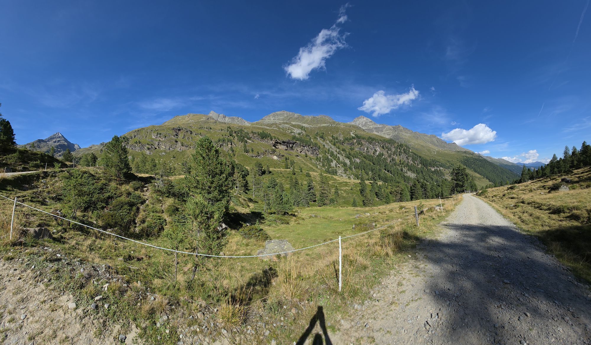
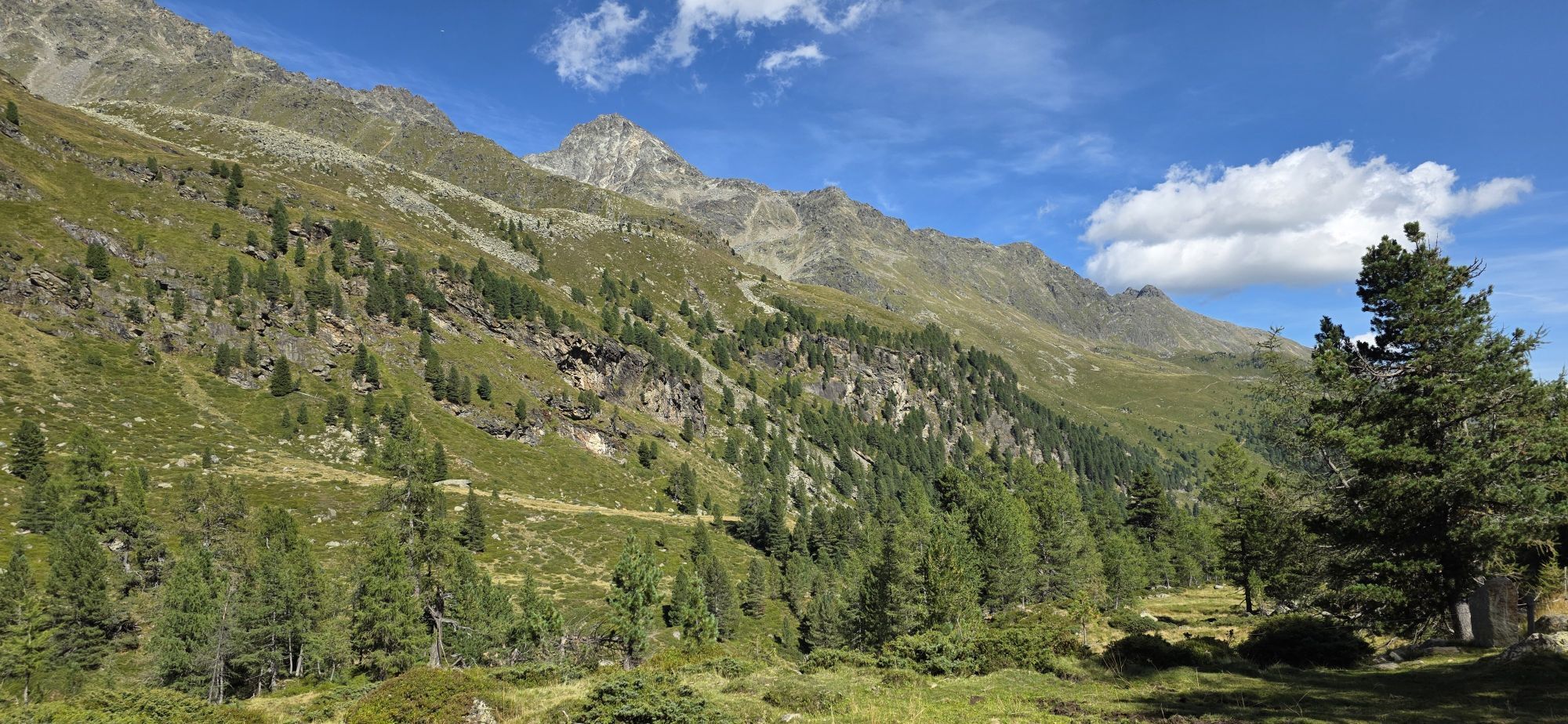
Tackling the long drawn-out summit of the Debantgrat, also known as the Viehkofel, is, in mountain ski tour terms, the reserve of the fastidious walker. As a north-eastern neighbour of the Hochschober, the southern summit is relatively easy to tackle via boulder terrain. It just has a bit of a kick at the start of the mountain. This is anything but short. The southern summit of the Debantgrat has for a long time had a cross, set up by "Krampusverein Debant" and this looks far into Debanttal. Starting point is Debanttal, a few kilometres to the north of Lienz. The ascent to Nussdorf, continuing via a little narrow road into Debanttal proceeds either via Lienz via the Liebherr crossing, or directly from the town of Debant. Depending on the snow conditions one lane of the goods route from the end of the asphalt road (Gasthaus Säge, 1100 m) can be used (chains) until just before Nussdorfer Bridge (1460 m). However should this already be closed the tour will be lengthened accordingly. The wide trail takes us now in an even incline past the summer car park area in Seichenbrunn, up to Lienzer Hütte (1977 m, 1 ½ hours from the bridge). The kettle becomes wider and we cross through the flat base area behind the accommodation. At the end of the head of the valley, just above 2000 m, the ski track bears west and starts to climb. Via truncated terrain we get to another, flat base area at around 2150m. Always bearing west we come to a north-facing, unbroken steep slope (>30°), which descends from the Mirnitzschneid. This is often threatened by avalanche and is tackled at its flattest section. Occasionally the right hand side can also be avoided by a few inclined „overhanging rocks“. There follows a short base area (around 2450m), before the ski track bears north again to the Schobertörl. In the hidden high valley (‘Gartl’) we enter a flat area after a short slope, at around 2700m. Whereas the ascent to the Hochschober proceeds left across steep slopes, we head for the distinctive south-facing flanks of the Debantgrat, which comes into view with its impressive summit cross. The approach to the summit is mostly tackled on the flattest area where we can forge our way without much difficulty after a little ridge saddle up to the highest point. When there is not much snow the ascent can also be made direct from Schobertörl (2905 m) via the boulder-strewn terrain (steel cable) of the summer terrain. Descent along the ascent trail.
Additional ski tour tips can be obtained in the ski tour guides by Thomas Mariacher. These are available here: http://www.grafikzloebl.at/verlag/buecher/
Additional ski tour tips can be obtained in the ski tour guides by Thomas Mariacher. These are available here: http://www.grafikzloebl.at/verlag/buecher/
Parcours
Lienzer Hütte
(1 980 m)
Refuge
10,8 km
Debantgrat Südgipfel
(3 052 m)
Sommet
15,3 km
Debantgrat Nordgipfel
(3 055 m)
Sommet
15,6 km
Debantgrat
(3 055 m)
Sommet
15,6 km
Parcours
Ski tour Debantgrat 3.052m
difficile
Ski de randonnée
15,74
km

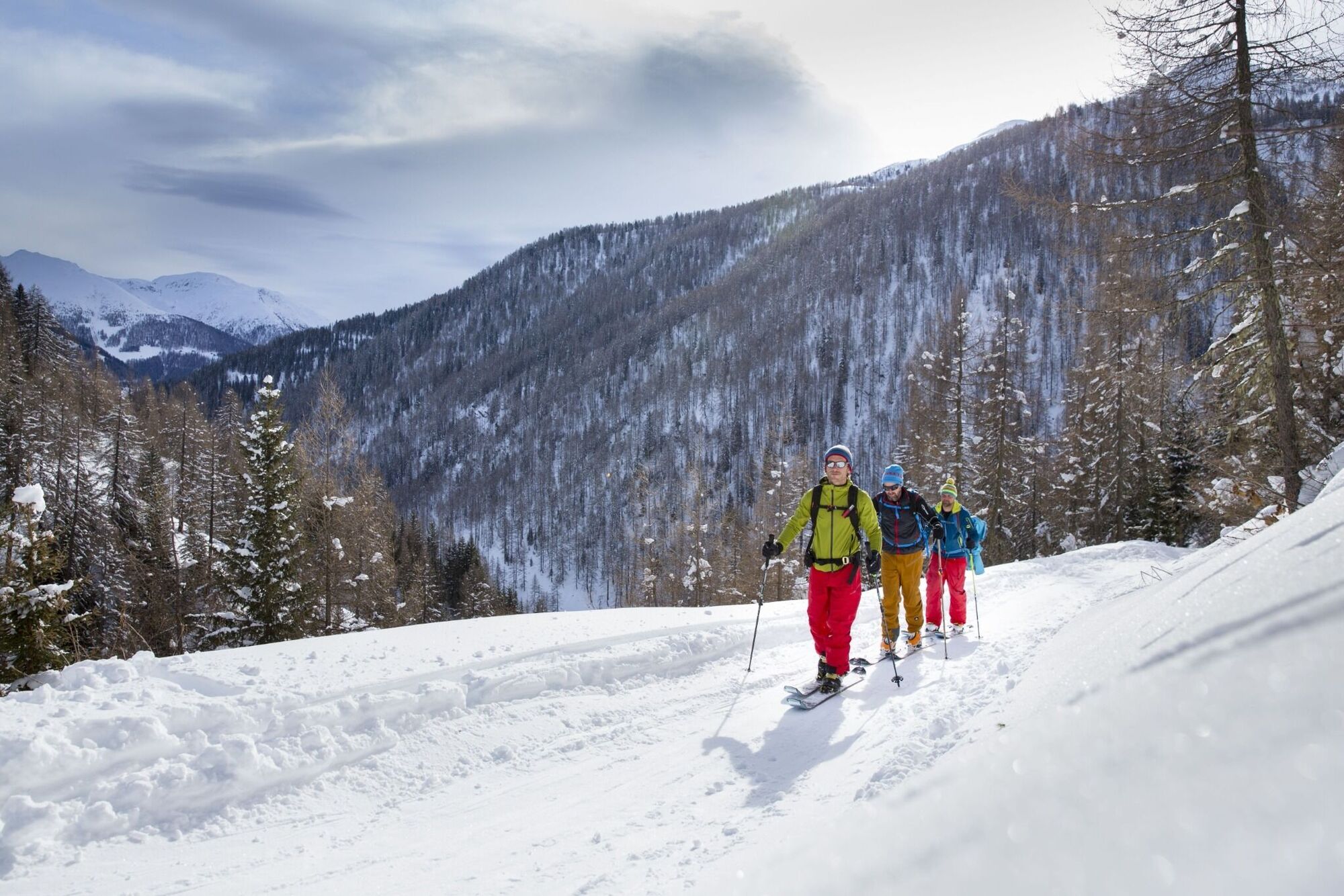
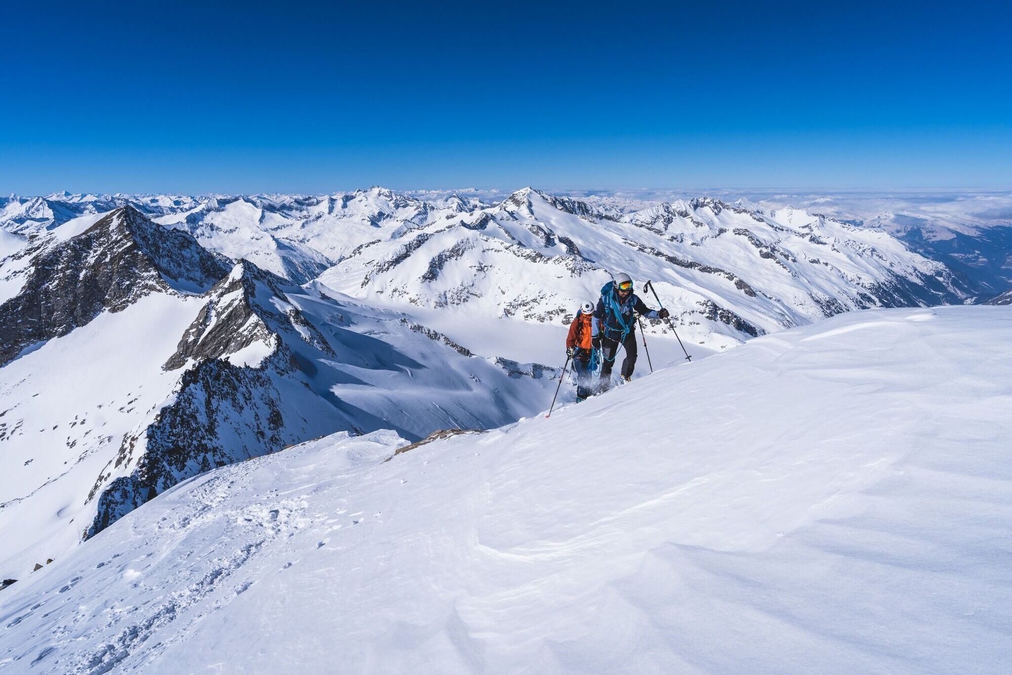
Dernier suivi
il y a 2 jours

Informations sur l'itinéraire
Itinéraire
Coming from Lienz, drive in the direction of Debant. Turn left at the turn-off to Nußdorf and continue to the Debant valley to the "Säge".
Évaluations
 Obtenez un aperçu Toujours en direct avec plus de 9.500 webcams. En tant qu'utilisateur Pro, vous pouvez désormais voir les webcams correspondantes à de nombreuses randonnées dans l'application de randonnées de bergfex. Vous pouvez ainsi voir directement les conditions actuelles.
Parcours populaires à proximité
- 5,0
Tour de l'Ederplan depuis le parking de Stronach
moyenRandonnée 7,19 km - 4,9
Wangennitzsee Hütte
moyenRandonnée 3,80 km - 4,7
Glödis 3206m: PP Seichenbrunn, Lienzer Hütte, Glödis KS A/B
difficileRandonnée d'altitude 16,1 km - 5,0
Figerhorn, 2743m, Lucknerhaus
moyenRandonnée 6,69 km - 4,2
Böses Weibele, 3119m, Lucknerhaus
difficileRandonnée 13,8 km - 4,2
Lucknerhaus zur Glorerhütte über Lucknerhütte zurück
moyenRandonnée 11,2 km - 4,2
Gradental à la cabane Adolf Nossberger - parcours en boucle
moyenRandonnée 11,1 km - 4,5
Lucknerhütte vom Lucknerhaus
moyenRandonnée en montagne 4,81 km - 4,2
Straßkopf
moyenRandonnée 4,06 km - 4,8
Randonnée jusqu'à la cabane Wangenitzseehütte
moyenRandonnée 13,9 km
Randonnée et suivi

Plus de 550.000 propositions de circuits, des cartes détaillées et un planificateur d'itinéraire intuitif font de cette application un must pour tous les passionnés de nature.

Ne manquez pas les offres et l'inspiration pour vos prochaines vacances
S'inscrire à la newsletter
Erreur
Une erreur s'est produite. Veuillez réessayer.Merci pour votre inscription
Votre adresse électronique a été ajouté à la liste de diffusion.
Parcours en Europe
Autriche Suisse Allemagne Italie Slovénie France Pays-Bas Belgique Pologne Liechtenstein République tchèque Slovaquie Espagne Croatie Bosnie-Herzégovine Luxembourg Andorre Portugal Islande Royaume-Uni Irlande Grèce Albanie Macédoine du Nord Malte Norvège Monténégro Moldavie Kosovo Hongrie Saint-Marin Roumanie Estonie Lettonie Bélarus Chypre Lituanie Serbie Bulgarie Monaco Danemark Suède Finlande





