Mundsalspitze
moyen
Naviguer
Naviguer
Télécharge cette visite sur ton portable
Mundsalspitze
moyen
Ski de randonnée
7,62
km
Scanner le code QR et commencer la navigation dans l'application bergfex

Randonnée & tracking


Mundsalspitze
moyen
Distance
7,62
km
Durée
03:50
h
Ascension
1 136
m
Altitude
1 471 -
2 607
m
Téléchargement de la piste
Mundsalspitze
moyen
Ski de randonnée
7,62
km
The hefty Mundsalspitze is part of the Deferegger Alps and is the final section of Wilfernertal. It extends north of Thal, parallel to the Hochsteinkamm. The ski tour there is characterised by alpine inns...
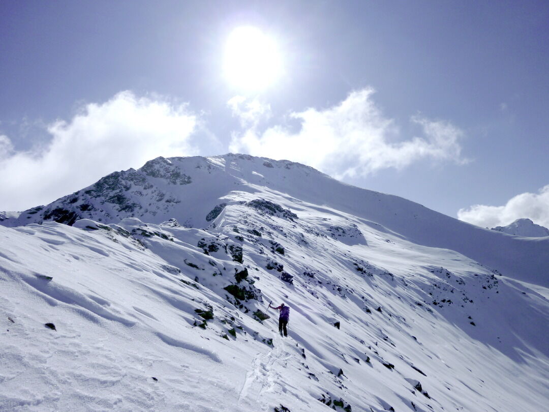
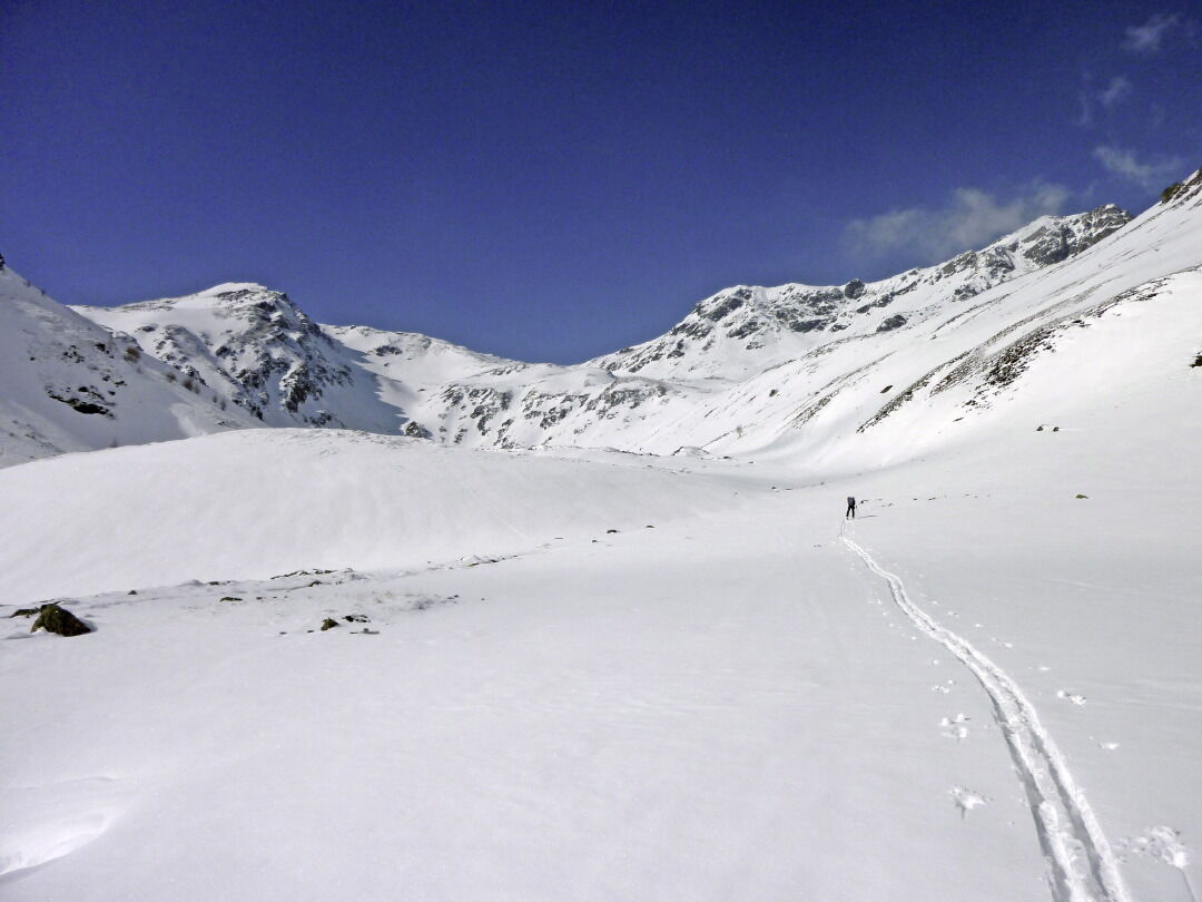
Description
The hefty Mundsalspitze is part of the Deferegger Alps and is the final section of Wilfernertal. It extends north of Thal, parallel to the Hochsteinkamm. The ski tour there is characterised by alpine inns and lodges set in a traditional landscape. Scaling the summit is especially difficult. The focus lies in choosing the right route since there are steep slopes to be traversed which are at risk of avalanches. Starting point is Warscher farmstead (1510 m), in the district of Assling. from Thal signposts take us to Assling wildlife park, where we bear right into Wilferner Tal and after 2 km, we park just before the farm (goods route, barriers). Paying no heed to the branch-off to the Reisachspitze, a 3 km monotonous forest road takes us into the valley to the summer parking area at Pedretscher Kaser (1700 m). Always bearing north, we keep to the logging road, changing over to the river side and come across more Alpine inns. At 2000m the ski track now swings along a base area into the steeper head of the valley, which is avoided via the flanks to the west (30°, risk of avalanche) in an even incline. At 2200m the terrain flattens out and via a trough systems, to the south of Wilferner Lacke, we get to the narrow wind gap which can be seen from quite a distance. The steep often windswept slope is usually avoided via the left (south) ridge, before we come to the north-east ridge in a few hairpin bends. Now directly and heading right (north) of the ridge line up to the steep summit slope which we cross in the flattest area. Depending on the snow conditions we then proceed with or without skis via the broad grassy summit to the reference markers (3 – 3 ½ hours along the car park). Descent along the ascent track to the summer car park. When there is enough snow there is the option of following the forest road in the bottom of the valley and therefore enjoying a speedy descent along Thaler Bach to almost 1100 m.
Additional ski tour tips can be obtained in the ski tour guides by Thomas Mariacher. These are available here: http://www.grafikzloebl.at/verlag/buecher/
Additional ski tour tips can be obtained in the ski tour guides by Thomas Mariacher. These are available here: http://www.grafikzloebl.at/verlag/buecher/
Parcours
Gasser Kaser
(1 526 m)
Lotissement
1,6 km
Huber Kaser
(1 946 m)
Refuge
4,5 km
Gelenkscharte
(2 518 m)
Selle de montagne
6,7 km
Munzalspitze
(2 682 m)
Sommet
7,2 km
Parcours
Mundsalspitze
moyen
Ski de randonnée
7,62
km
Informations sur l'itinéraire
Itinéraire
Test2
Pas encore d'évaluation
Parcours populaires à proximité
-
4,4
Böses Weibele - Pustertaler Höhenweg
moyenRandonnée 13,2 km -
4,2
Connyalm (2.070 m)
Randonnée 6,36 km -
4,5
Klammbrückl - Kerschbaumeralm - Spitzkofel
difficileRandonnée 8,71 km -
3,2
2019 29ago Hochschoberhütte
moyenRandonnée 4,54 km -
4,8
#33: Schleinitz Klettersteig, 3 Gipfel Runde (B)
moyenVia ferrata 10,6 km -
4,5
Lienzer Hütte im Debanttal
facileE-MTB 39,5 km -
5,0
Golzentipp
facileRandonnée 7,04 km -
4,6
Van Dobbiaco naar Lienz
facileFaire du vélo 50,8 km -
5,0
Neualplseen
moyenRandonnée 5,93 km -
5,0
Böses Weibele
facileRandonnée 10,1 km
Randonnée et suivi

Plus de 550.000 propositions de circuits, des cartes détaillées et un planificateur d'itinéraire intuitif font de cette application un must pour tous les passionnés de nature.

Ne manquez pas les offres et l'inspiration pour vos prochaines vacances
S'inscrire à la newsletter
Erreur
Une erreur s'est produite. Veuillez réessayer.
Merci pour votre inscription
Votre adresse électronique a été ajouté à la liste de diffusion.
Parcours en Europe
Autriche
Suisse
Allemagne
Italie
Slovénie
France
Pays-Bas
Belgique
Pologne
Liechtenstein
République tchèque
Slovaquie
Espagne
Croatie
Bosnie-Herzégovine
Luxembourg
Andorre
Portugal
Islande
Royaume-Uni
Irlande
Grèce
Albanie
Macédoine du Nord
Malte
Norvège
Monténégro
Moldavie
Kosovo
Hongrie
Saint-Marin
Roumanie
Estonie
Lettonie
Bélarus
Chypre
Lituanie
Serbie
Bulgarie
Monaco
Danemark
Suède
Finlande