Kalser Törl 2.809m
difficile
Naviguer
Naviguer
Télécharge cette visite sur ton portable
Kalser Törl 2.809m
difficile
Ski de randonnée
6,52
km
Scanner le code QR et commencer la navigation dans l'application bergfex

Randonnée & tracking


Kalser Törl 2.809m
difficile
Distance
6,52
km
Durée
-
h
Ascension
1.191
m
Altitude
1.667 -
2.808
m
Téléchargement de la piste
Kalser Törl 2.809m
difficile
Ski de randonnée
6,52
km
The ski tour to Kalser Törl is one of the challenging tours in the Schober group and should only be tackled when conditions are absolutely safe. The flanks which for the most part appear to be inaccessible...
Description
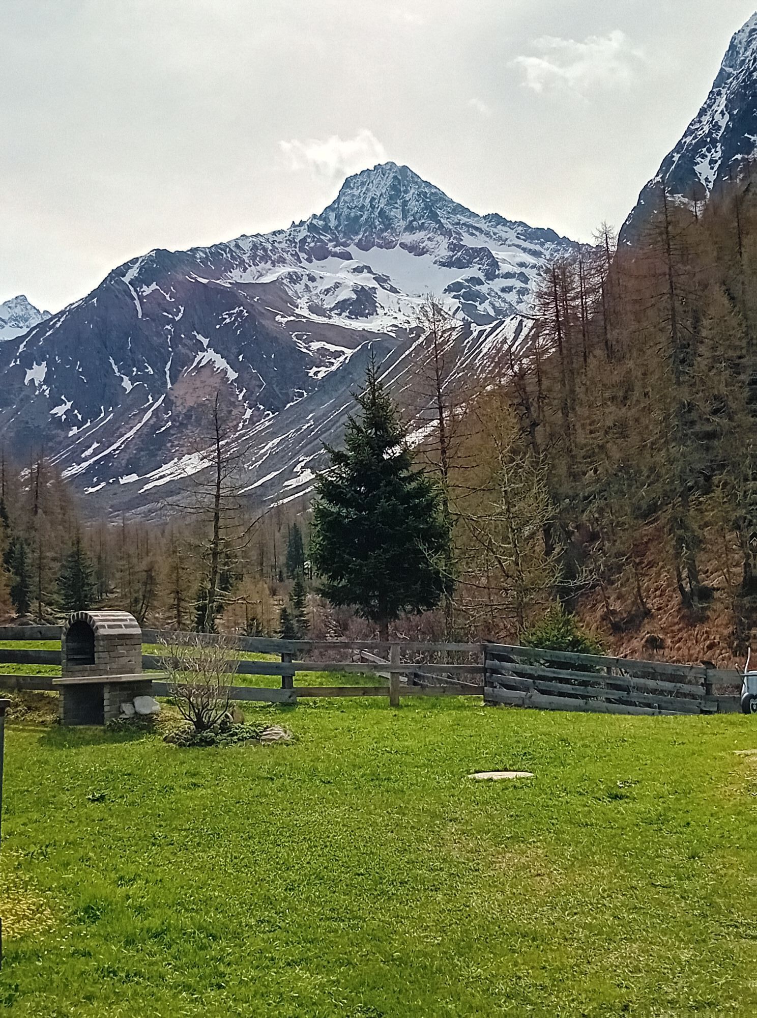
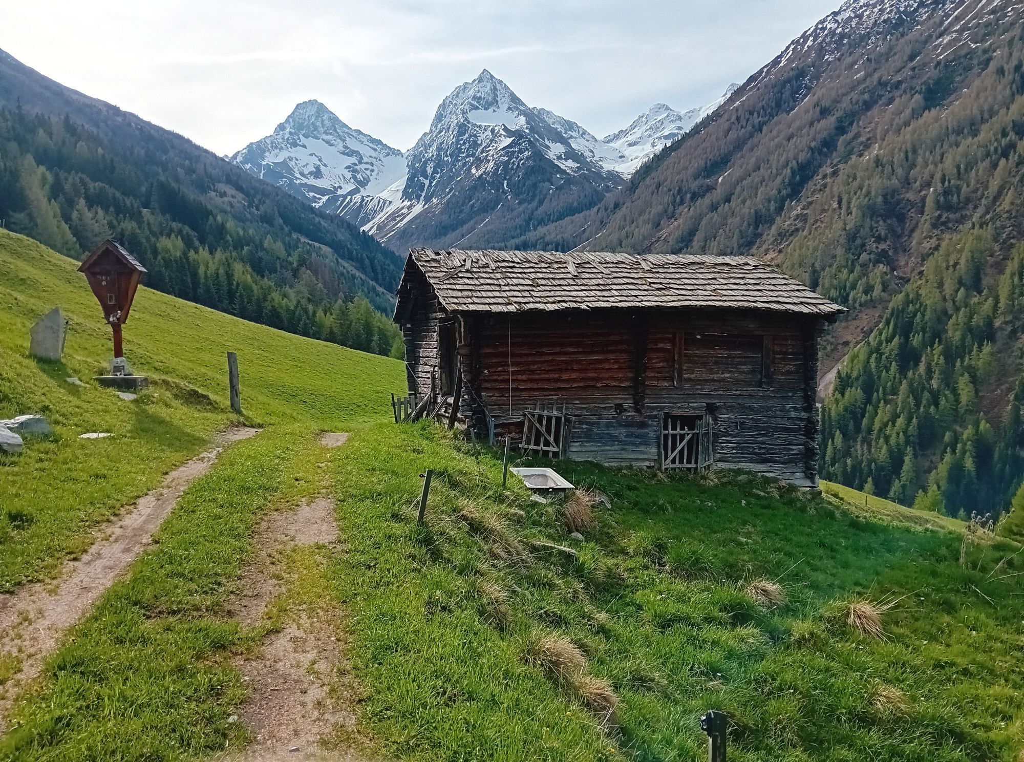
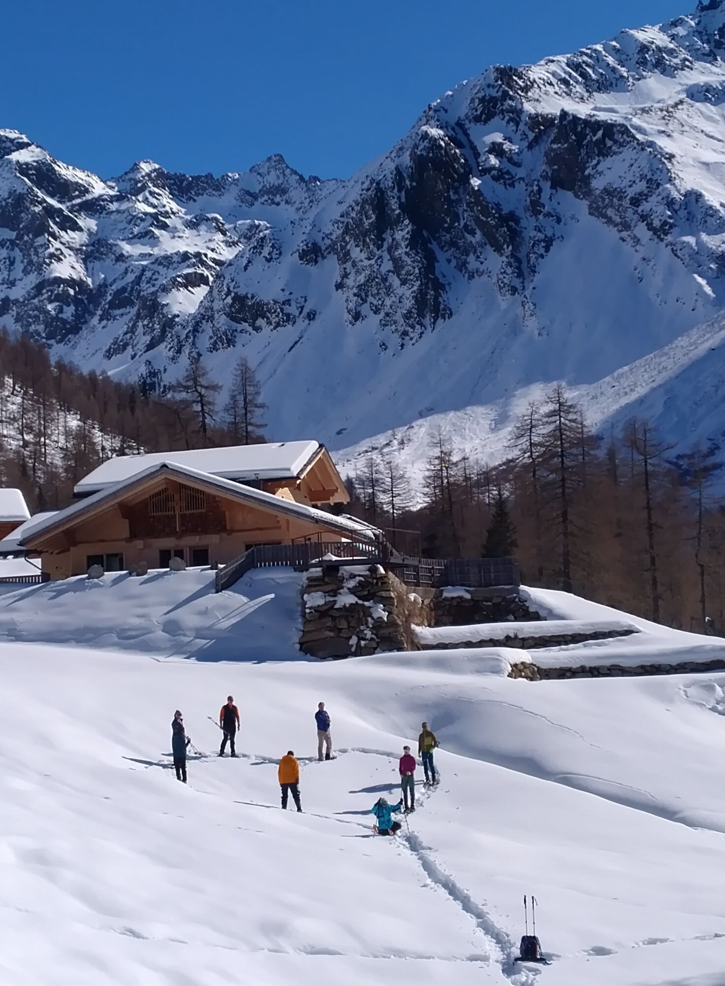
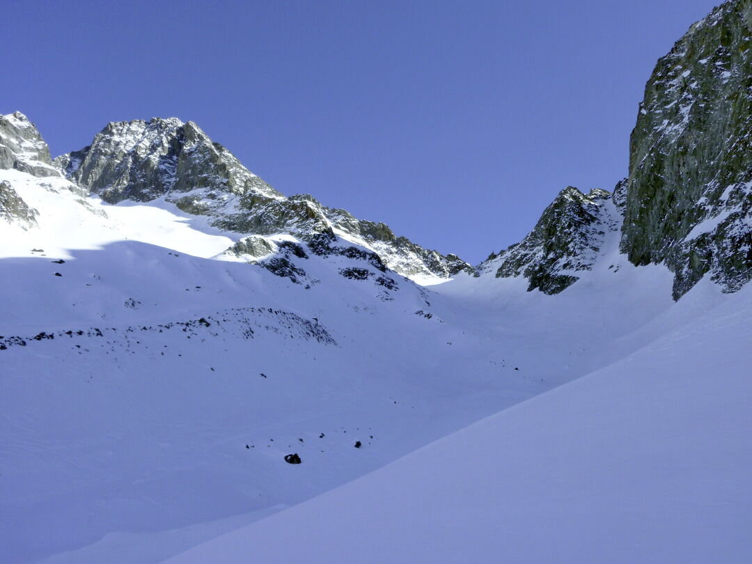
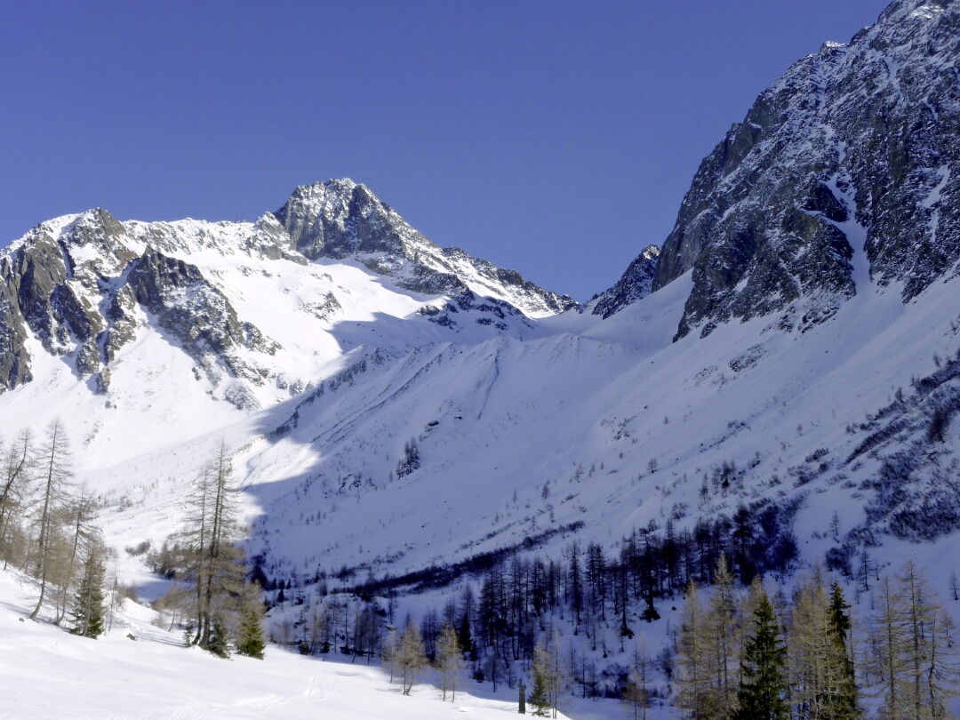
The ski tour to Kalser Törl is one of the challenging tours in the Schober group and should only be tackled when conditions are absolutely safe. The flanks which for the most part appear to be inaccessible in the depths of winter fall into the extreme slopes category, that is, they are rarely tackled are over 35 degrees steep and are on the shaded side. However in spring when the snow pack has set in, this tour is a real treat, away from all the hustle and bustle. Starting point is the parish of Lesach, around 1. 5 km before Kals. The road takes us between traditional buildings to the established car parking area at a wooden shelter in Oberlesach (1415 m). Access to the closed barrier is no longer permitted and the route is shortened on the forest trail via the pastures on the mountain side. A wide gravel path now takes us into the valley to the lovely Lesachalm Hütte (1818 m, 1 ½ hours), which we get to via a downward crossing. A 60 metres altitude counter climb on the way back should be factored in here. We now follow the ski track to the left of the river in the adventurous Lesachtal and its impressive mountain shapes. At around 2000 m we head out of the bottom of the valley between light larches, heading south east to the steep and rutted moraine flanks beneath the Kalser Törl. It is the conditions that decide here where exactly the climbing route should start. Via attractive hairpin bend terrain (NW, 30°) we keep well away from the windswept gully and get to flatter terrain at around 2400 m. A little high alpine valley starts here and through the archaic looking landscape we climb to a narrow wind gap between Glödis and Ralfkopf. The final slope (NW, 35°) is often deceptively windswept and requires the ability to assess an avalanche situation. In several hairpin bends we laboriously head into a short steep gully which brings us, carrying skis – depending on the conditions – to the Törl (cairn, 4 hours from the valley). Descent along the ascent track.
Additional ski tour tips can be obtained in the ski tour guides by Thomas Mariacher. These are available here: http://www.grafikzloebl.at/verlag/buecher/
Additional ski tour tips can be obtained in the ski tour guides by Thomas Mariacher. These are available here: http://www.grafikzloebl.at/verlag/buecher/
Parcours
Lesachhütte
(1.820 m)
Restaurant
2,3 km
Glödis Refugium
(1.855 m)
Restaurant
2,5 km
Kalser Törl
(2.809 m)
Selle de montagne
6,2 km
Parcours
Kalser Törl 2.809m
difficile
Ski de randonnée
6,52
km
Lesachhütte
(1.820 m)
Restaurant
2,3 km
Glödis Refugium
(1.855 m)
Restaurant
2,5 km
Kalser Törl
(2.809 m)
Selle de montagne
6,2 km
Informations sur l'itinéraire
Itinéraire
Kals/Lesach until Oberlesach
Transports en commun
bus line 952 bus stop Kals/Lesacherhof
Parking
car parking Oberlesach (parking fee)
Pas encore d'évaluation
Parcours populaires à proximité
- 4,9
Wangennitzsee Hütte
moyenRandonnée 3,80 km - 4,7
Glödis 3206m: PP Seichenbrunn, Lienzer Hütte, Glödis KS A/B
difficileRandonnée d'altitude 16,1 km - 4,5
Circular hike Proßeggklamm
moyenRandonnée 8,41 km - 4,9
Glockner
moyenRandonnée d'altitude 19 km - 3,9
Chemin glaciaire vers la Pasterze avec le Gamsgrubenweg (jusqu'au tunnel 6)
moyenRandonnée 8,05 km - 4,3
Stüdlhütte -Großglockner
Randonnée 4,68 km - 5,0
Rotenkogel
difficileRandonnée 4,22 km - 4,9
Kaiser-Franz-Josefs-Höhe au refuge Oberwalder
difficileRandonnée 5,52 km - 4,3
Lucknerhaus zur Glorerhütte über Lucknerhütte zurück
moyenRandonnée 11,2 km - 4,0
Böses Weibele, 3119m, Lucknerhaus
difficileRandonnée 13,8 km

Randonnée et suivi

Plus de 550.000 propositions de circuits, des cartes détaillées et un planificateur d'itinéraire intuitif font de cette application un must pour tous les passionnés de nature.

Ne manquez pas les offres et l'inspiration pour vos prochaines vacances
S'inscrire à la newsletter
Erreur
Une erreur s'est produite. Veuillez réessayer.Merci pour votre inscription
Votre adresse électronique a été ajouté à la liste de diffusion.
Parcours en Europe
Autriche Suisse Allemagne Italie Slovénie France Pays-Bas Belgique Pologne Liechtenstein République tchèque Slovaquie Espagne Croatie Bosnie-Herzégovine Luxembourg Andorre Portugal Islande Royaume-Uni Irlande Grèce Albanie Macédoine du Nord Malte Norvège Monténégro Moldavie Kosovo Hongrie Saint-Marin Roumanie Estonie Lettonie Bélarus Chypre Lituanie Serbie Bulgarie Monaco Danemark Suède Finlande