
Ski tour Schöttnerspitze 2.633m
difficile
Télécharge cette visite sur ton portable
Ski tour Schöttnerspitze 2.633m
difficile
Ski de randonnée
7,92
km
Scanner le code QR et commencer la navigation dans l'application bergfex


Randonnée & tracking





Ski tour Schöttnerspitze 2.633m
difficile
Distance
7,92
km
Durée
04:50
h
Ascension
1 562
m
Altitude
1 056 -
2 618
m
Téléchargement de la piste
Ski tour Schöttnerspitze 2.633m
difficile
Ski de randonnée
7,92
km
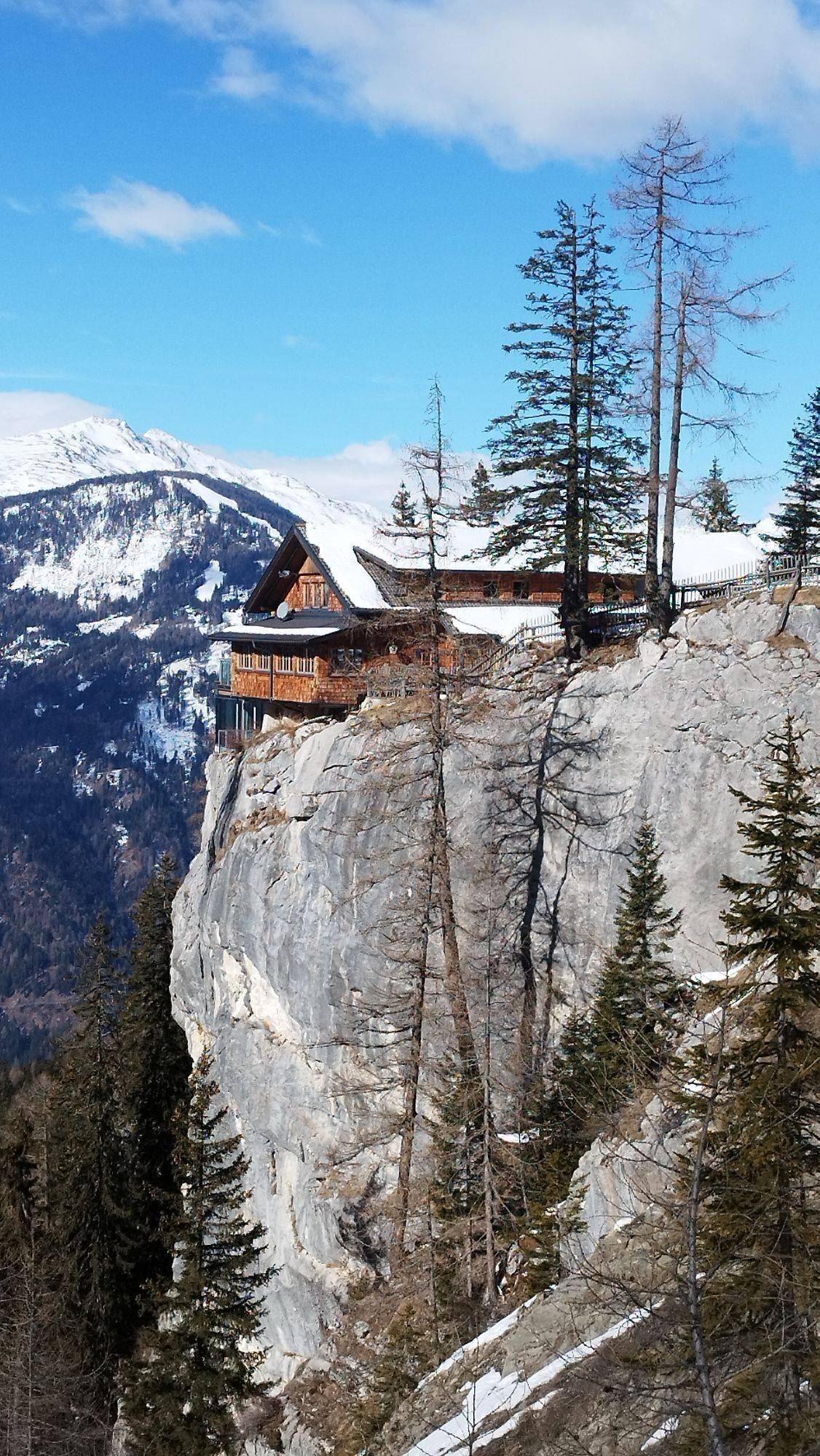
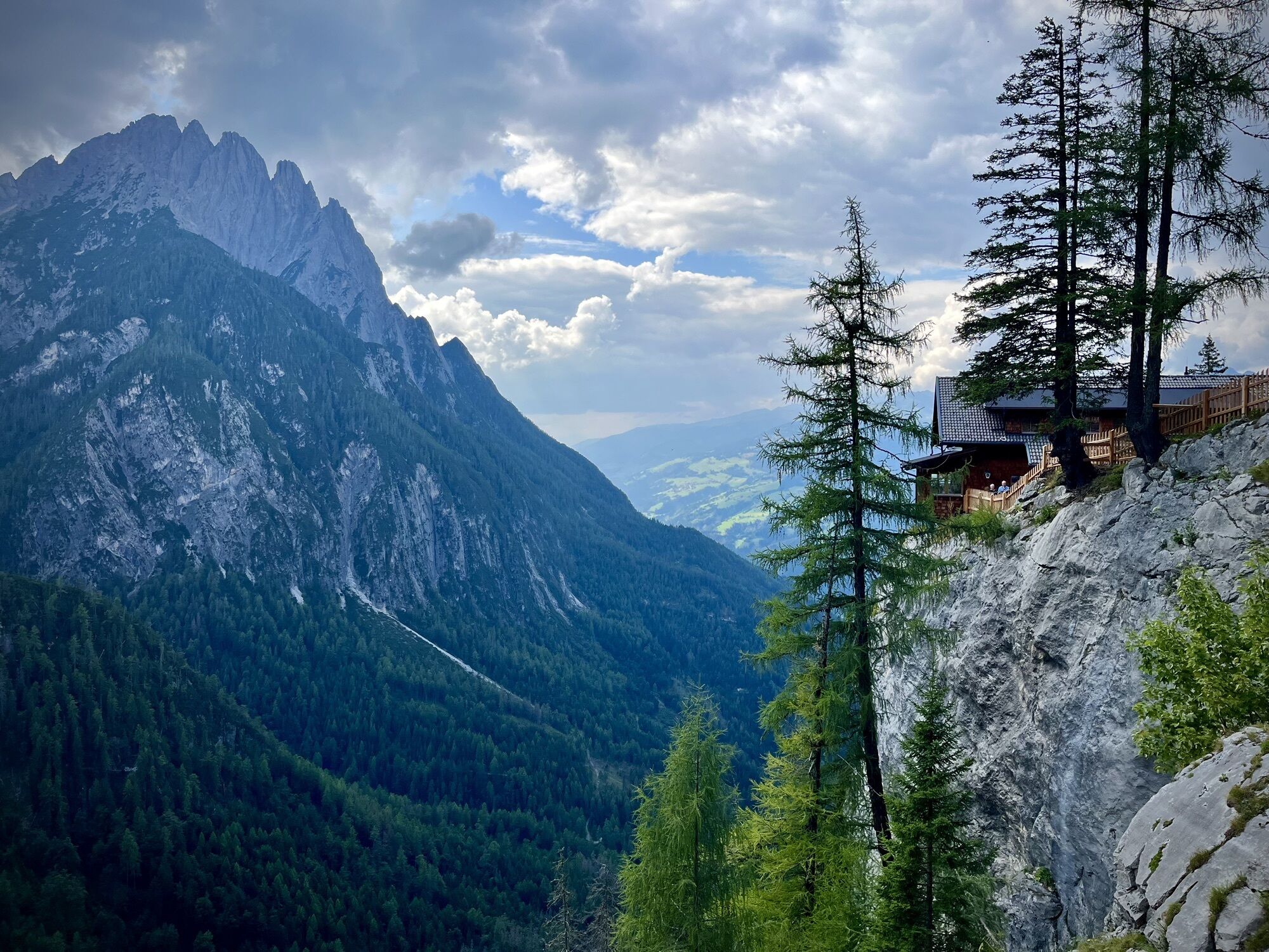
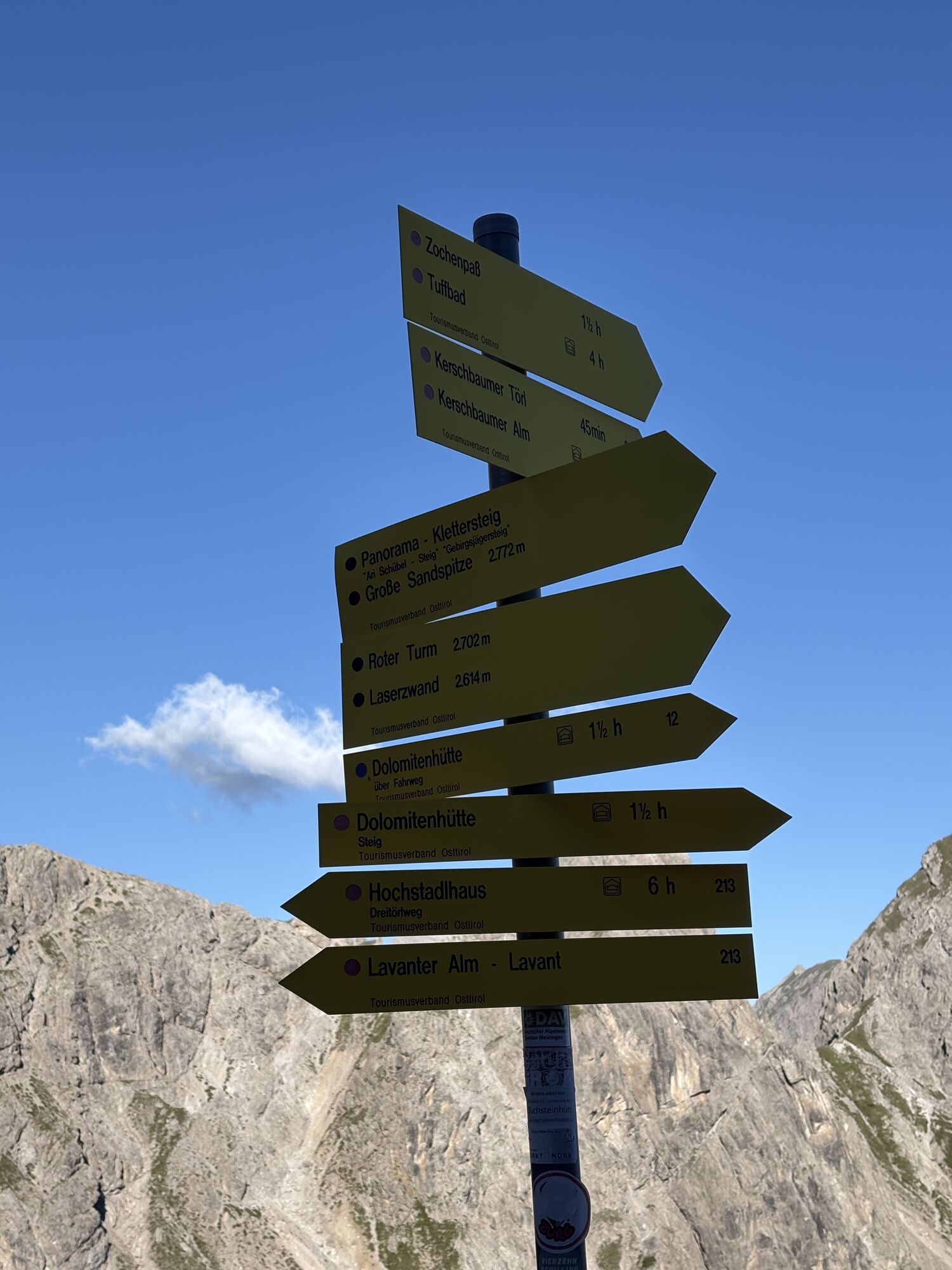
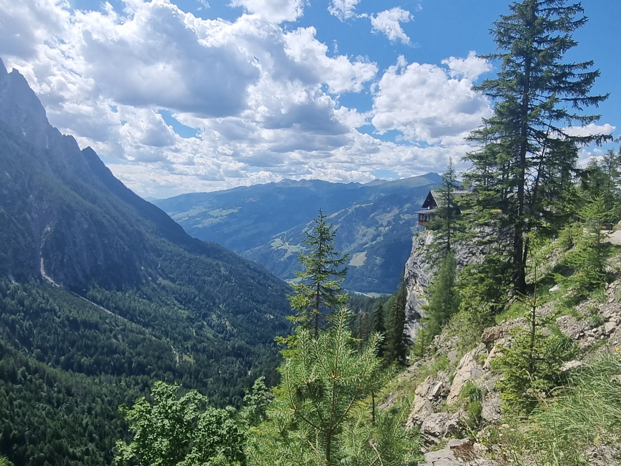
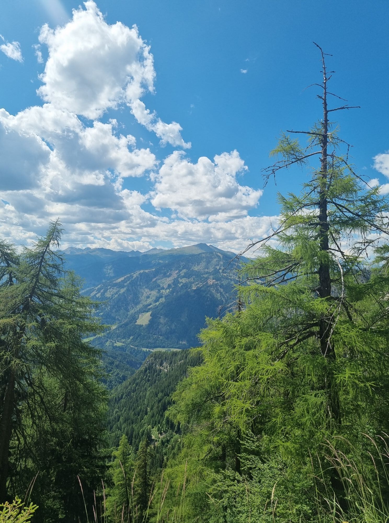
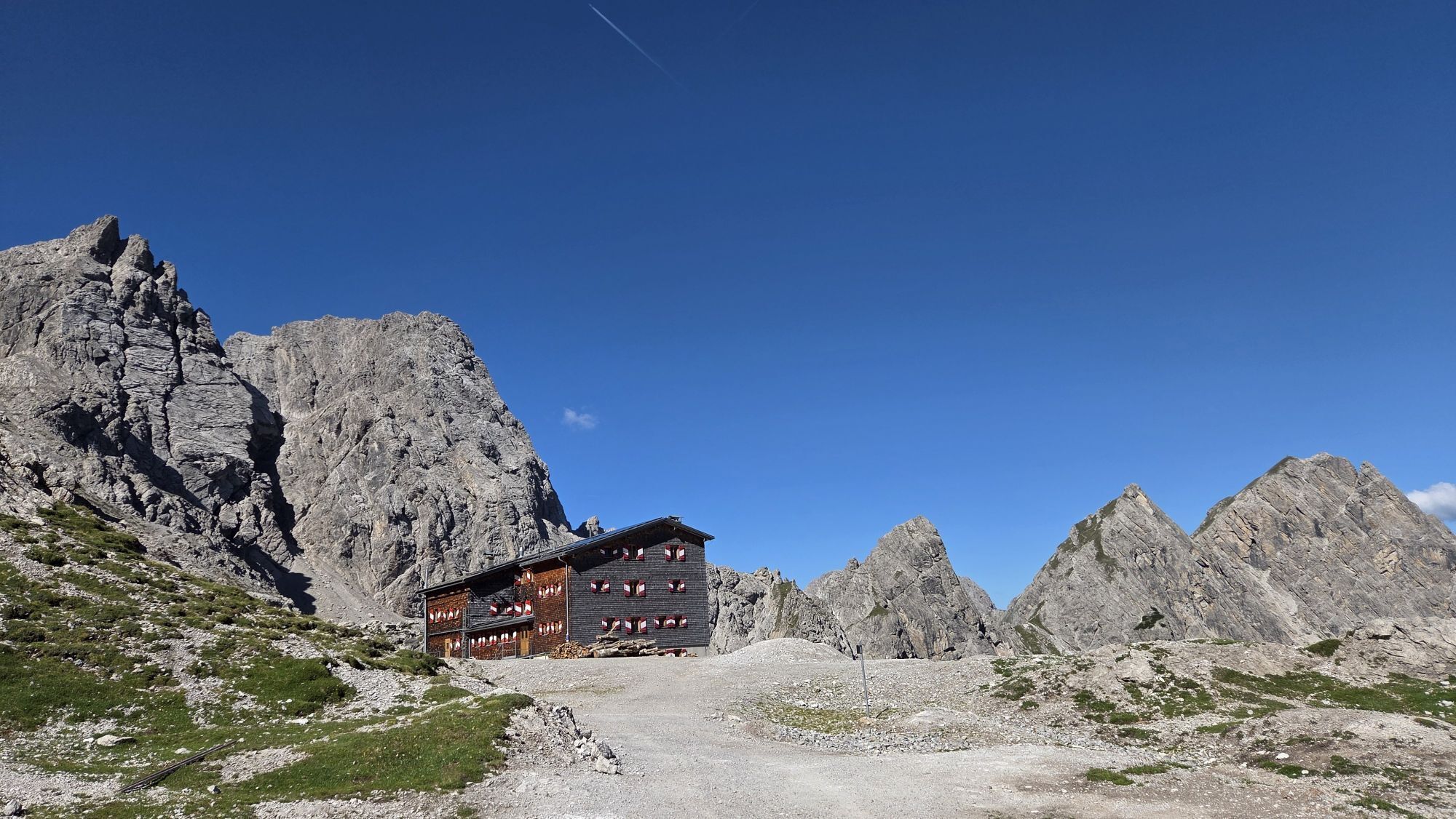
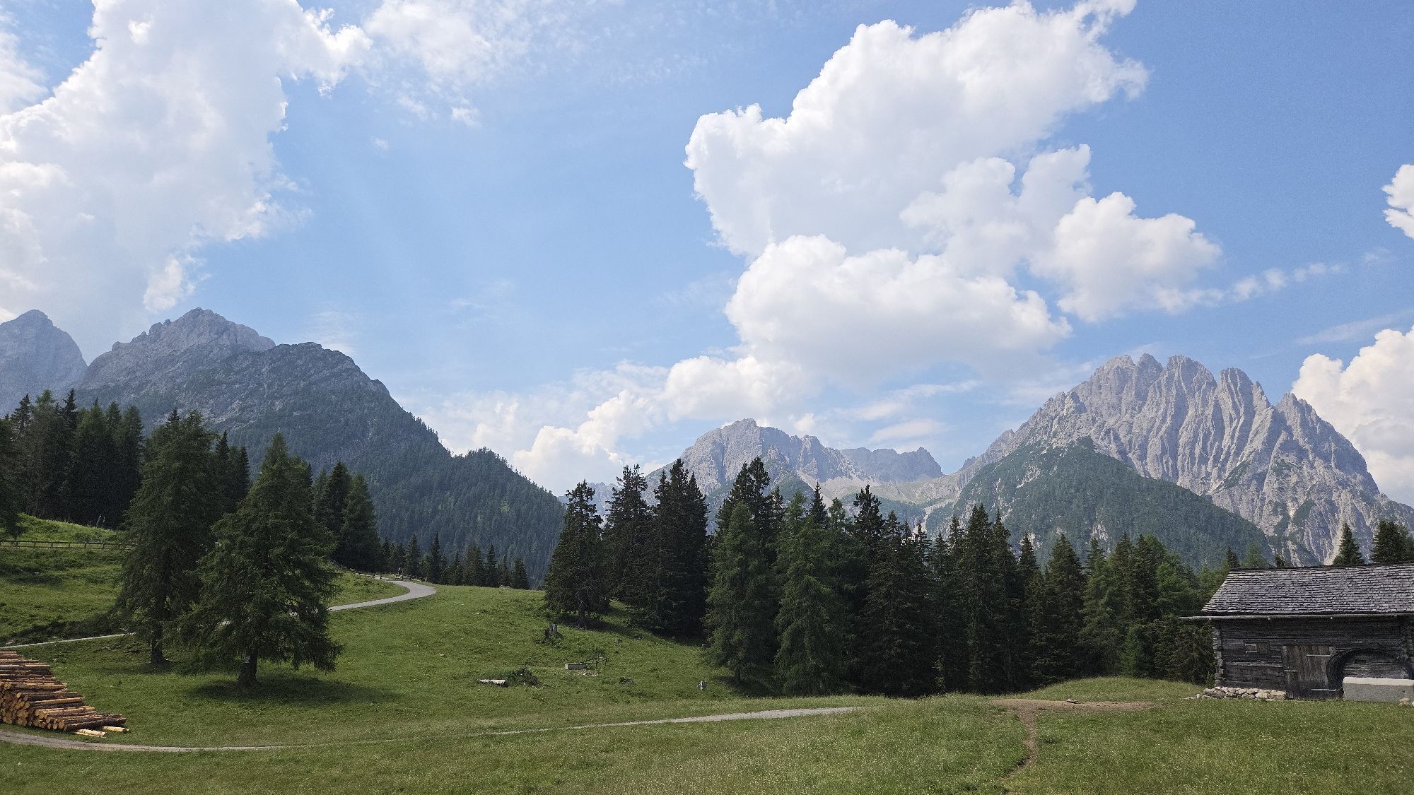
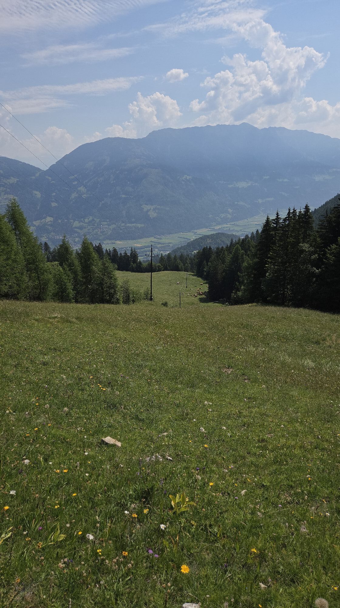
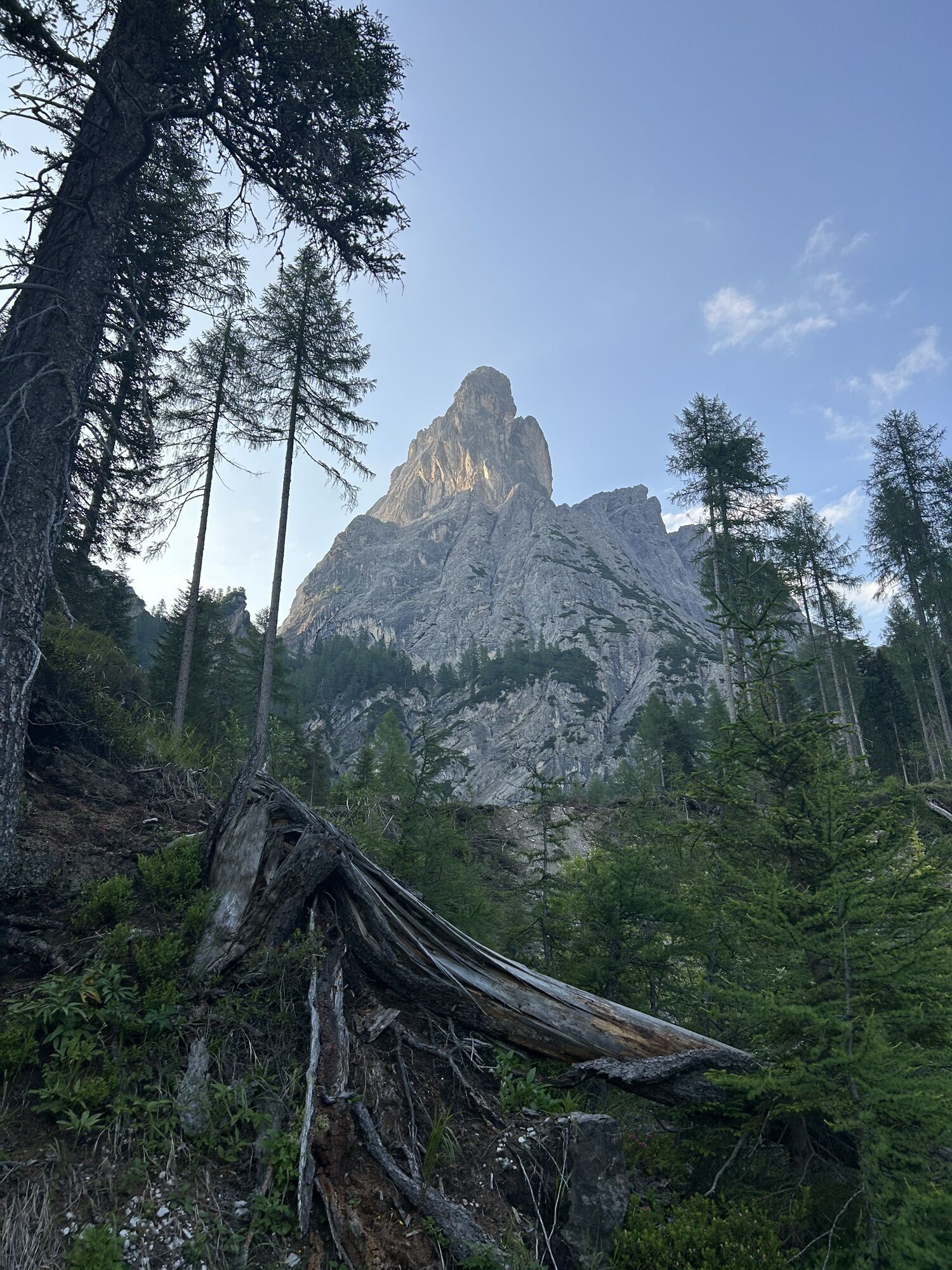
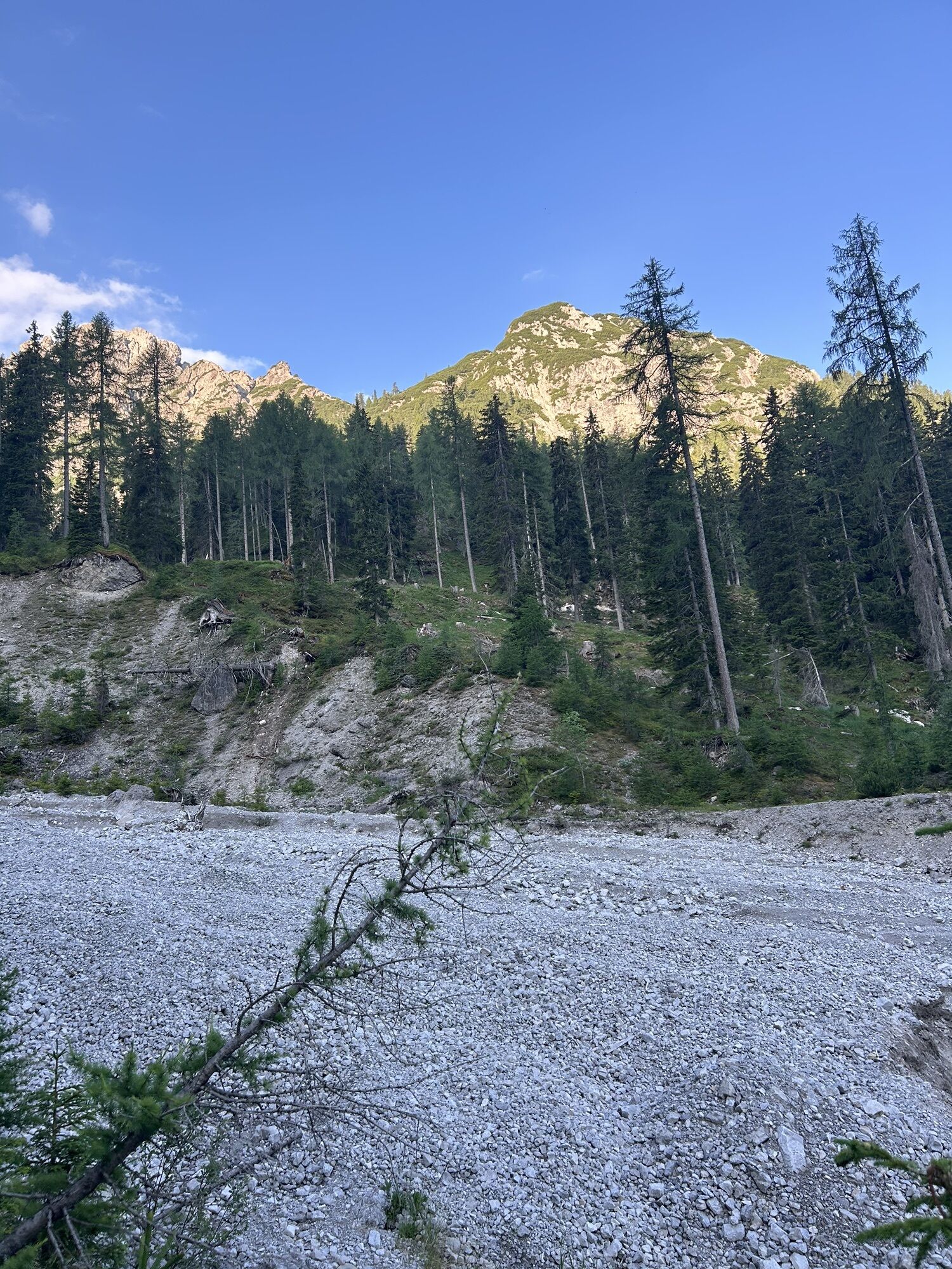
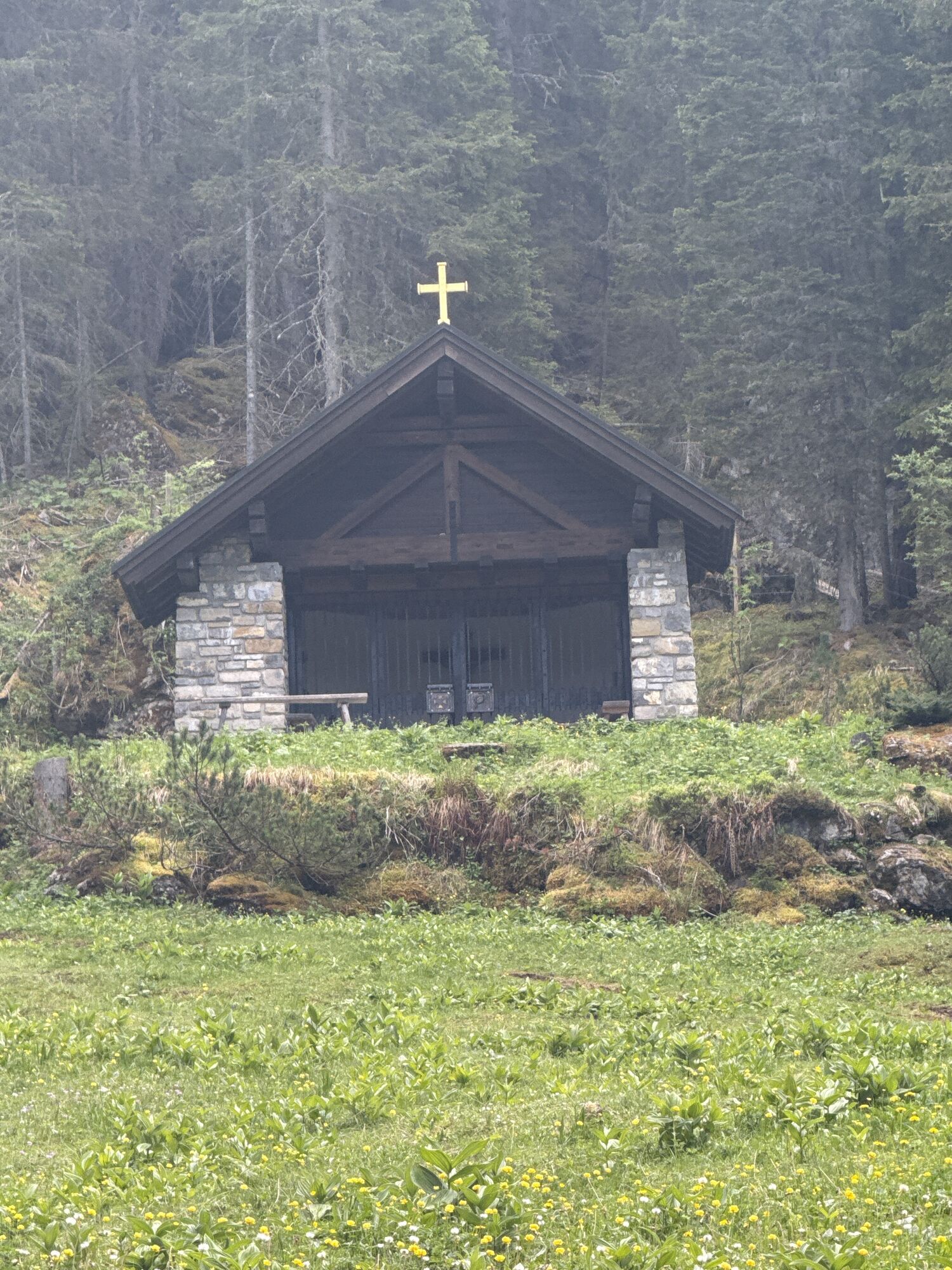
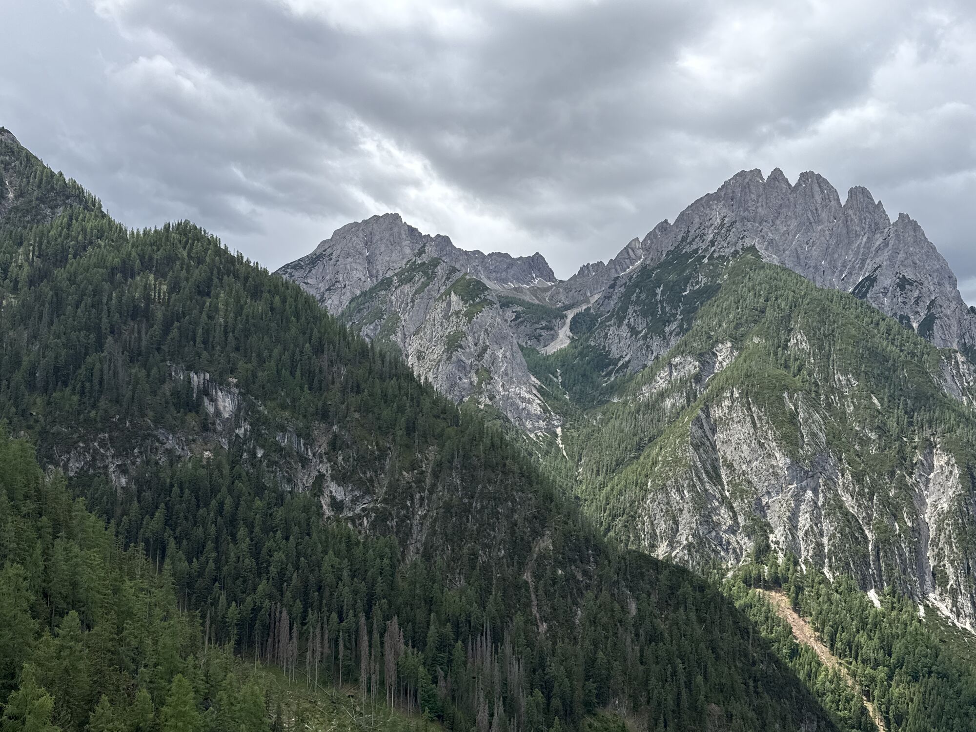
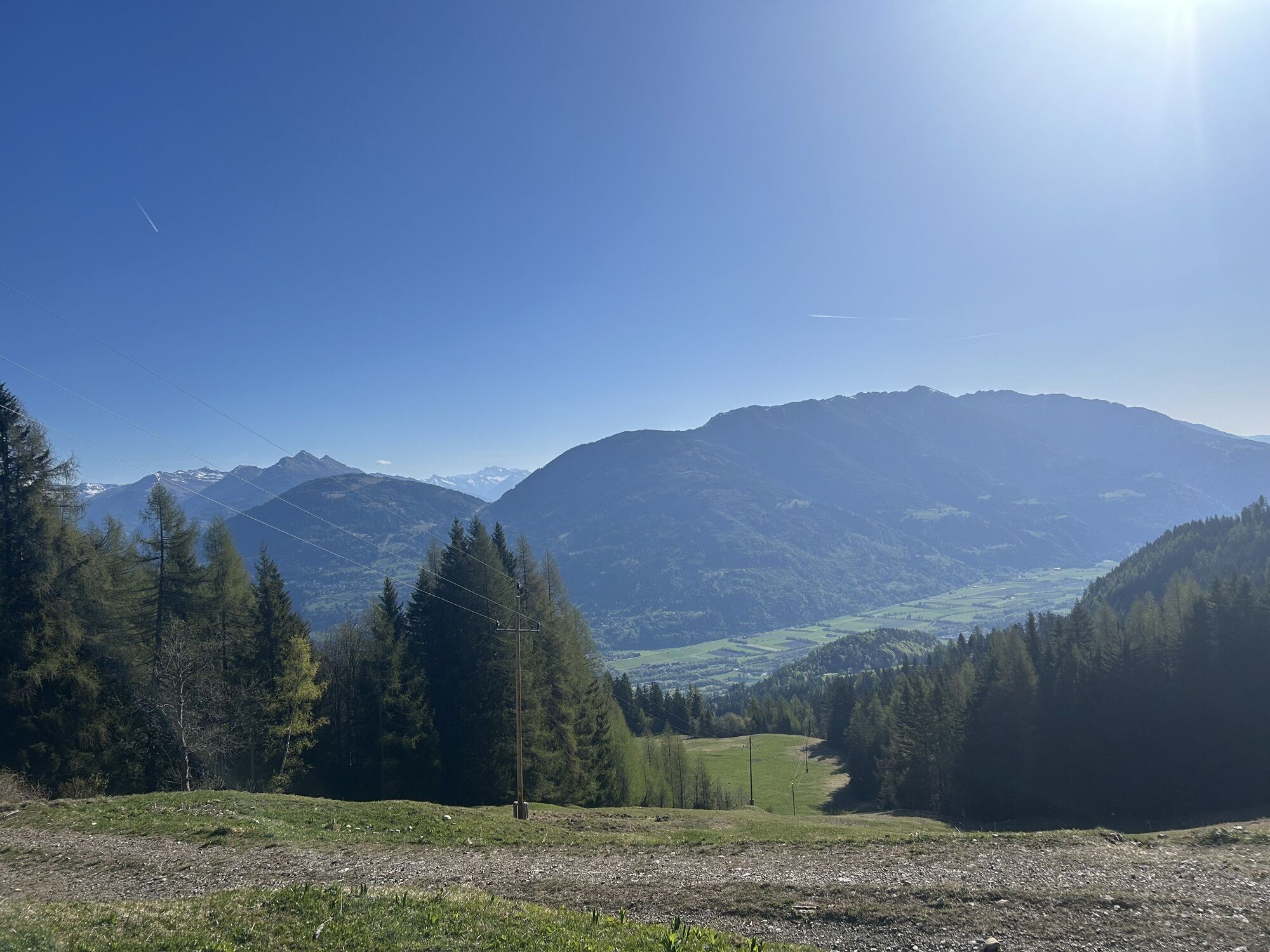
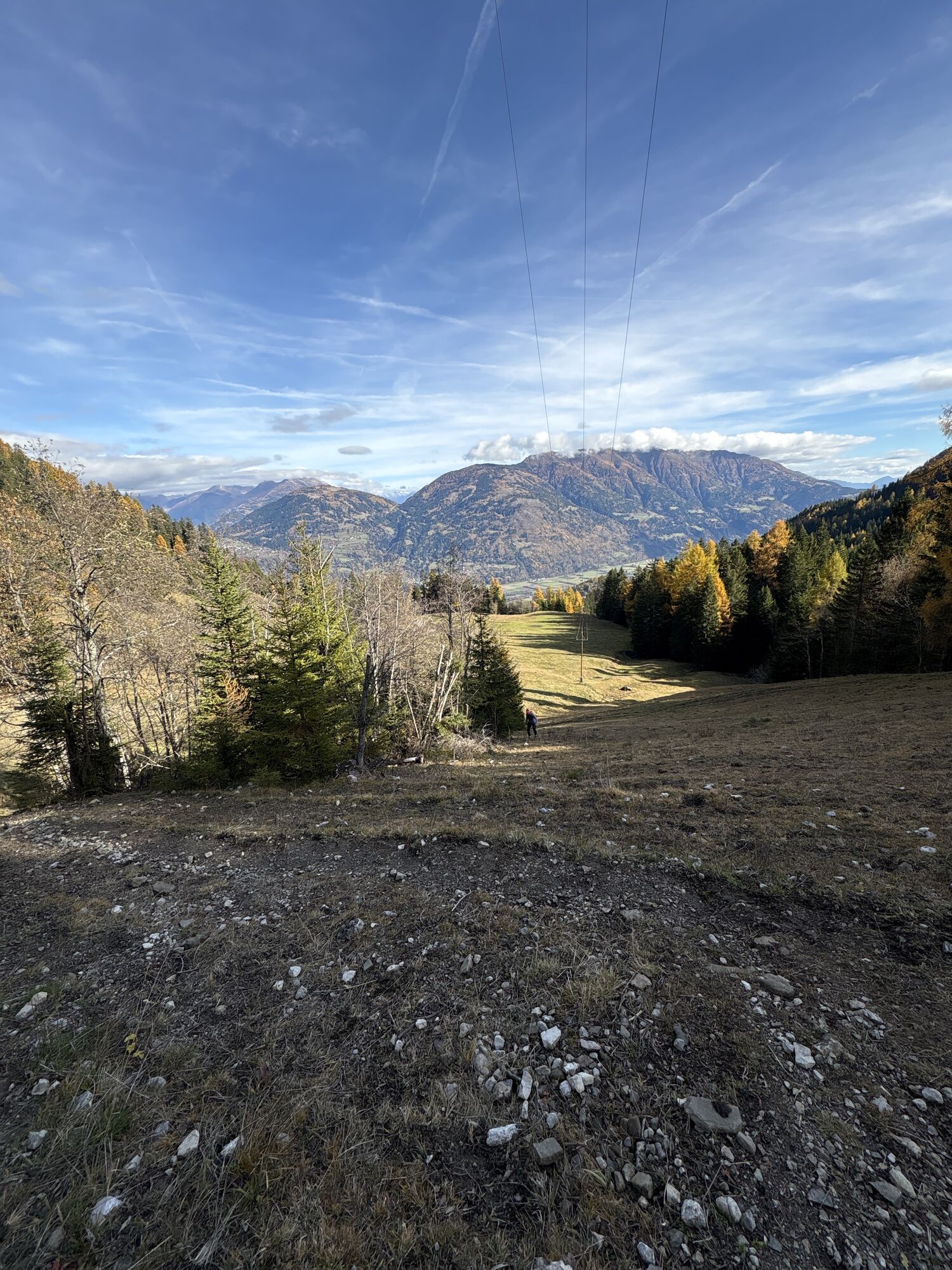
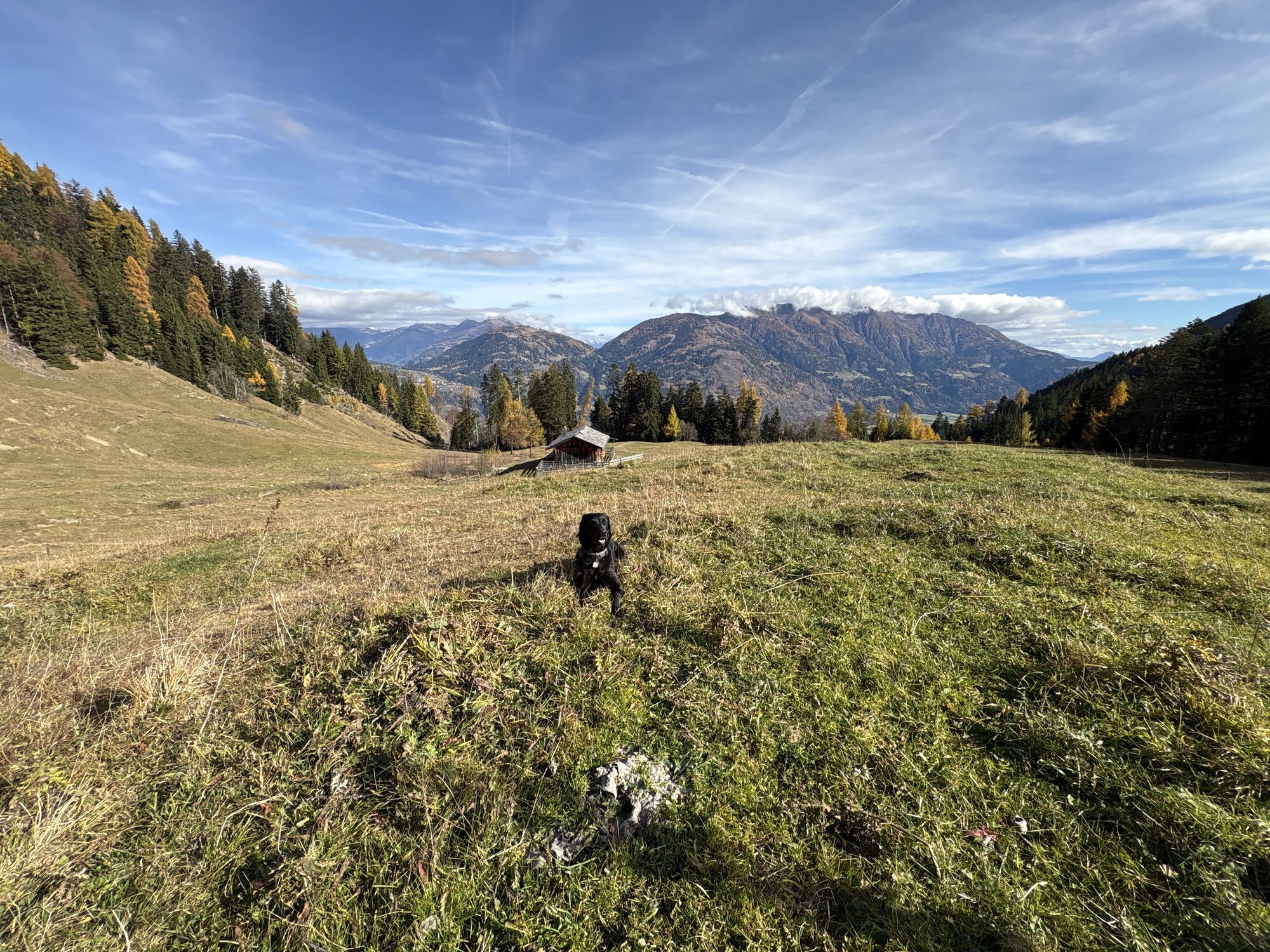
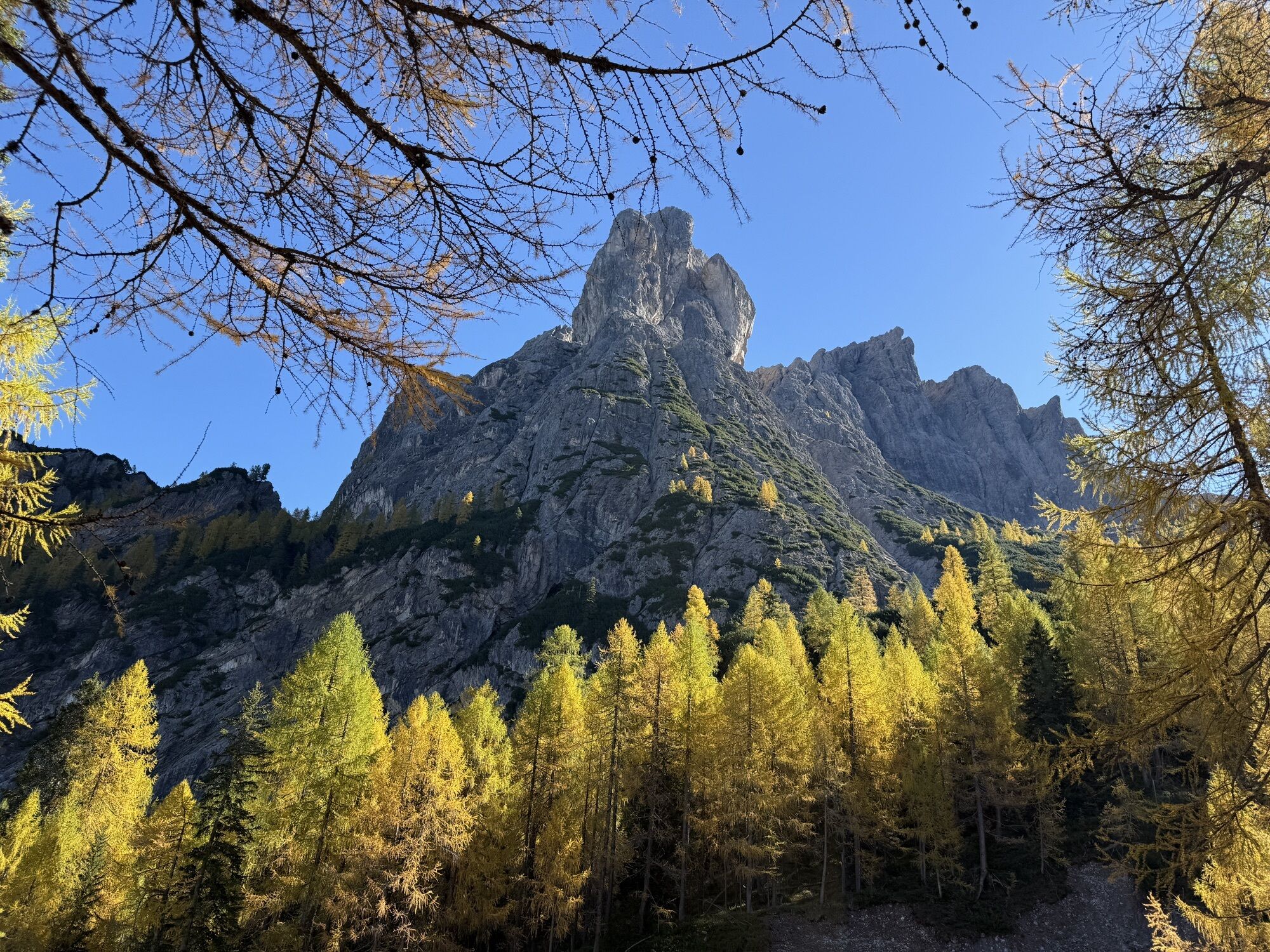
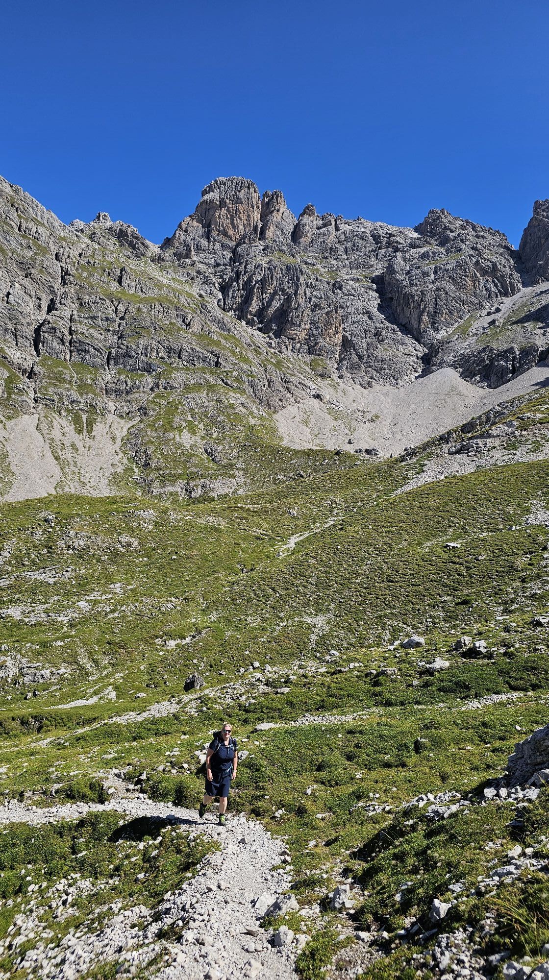
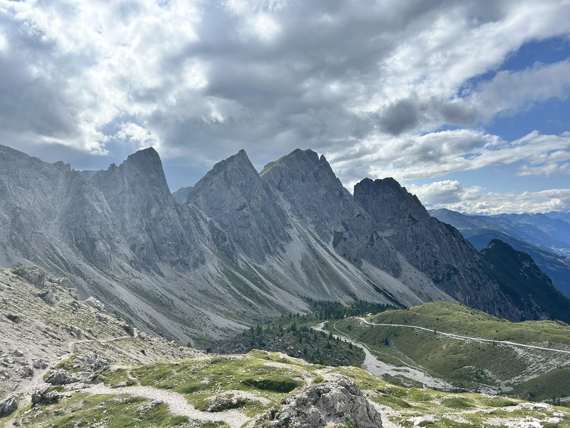
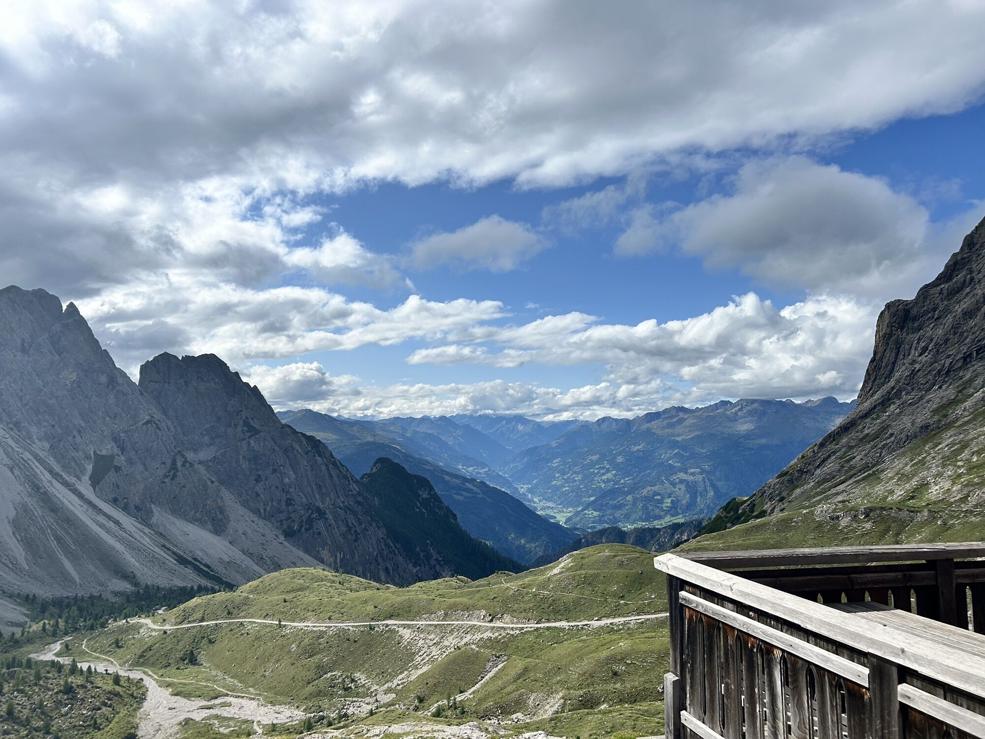

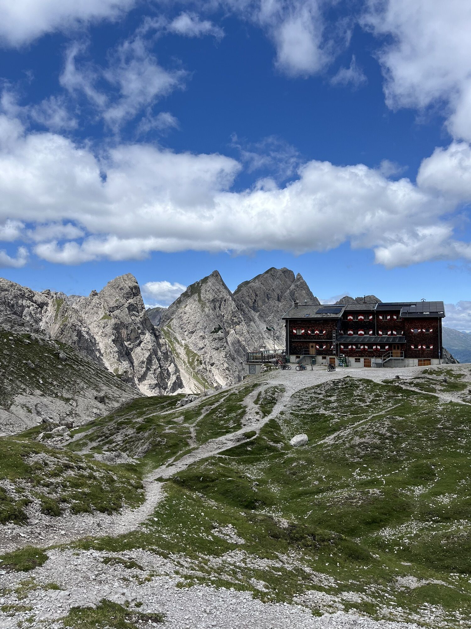
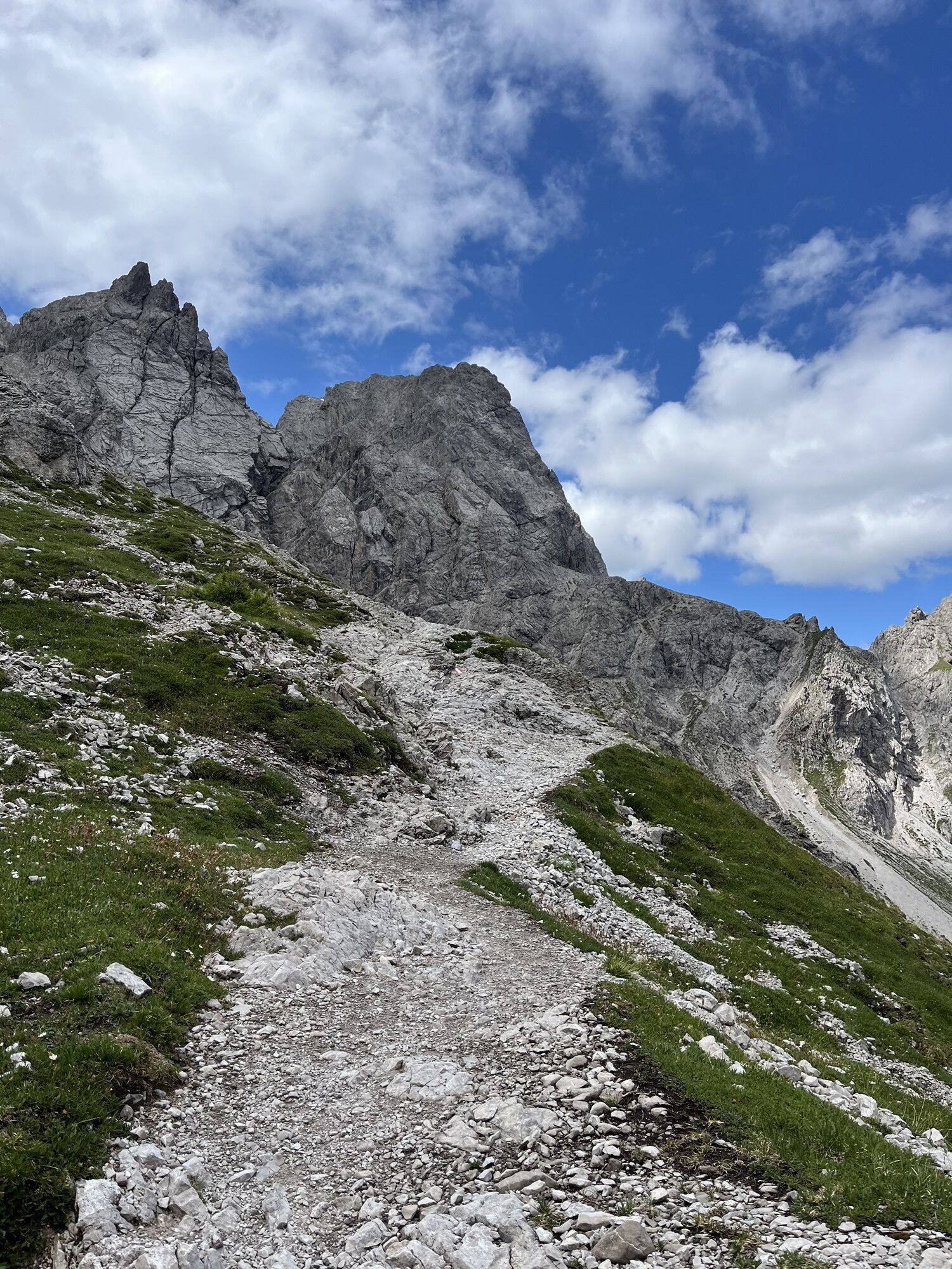
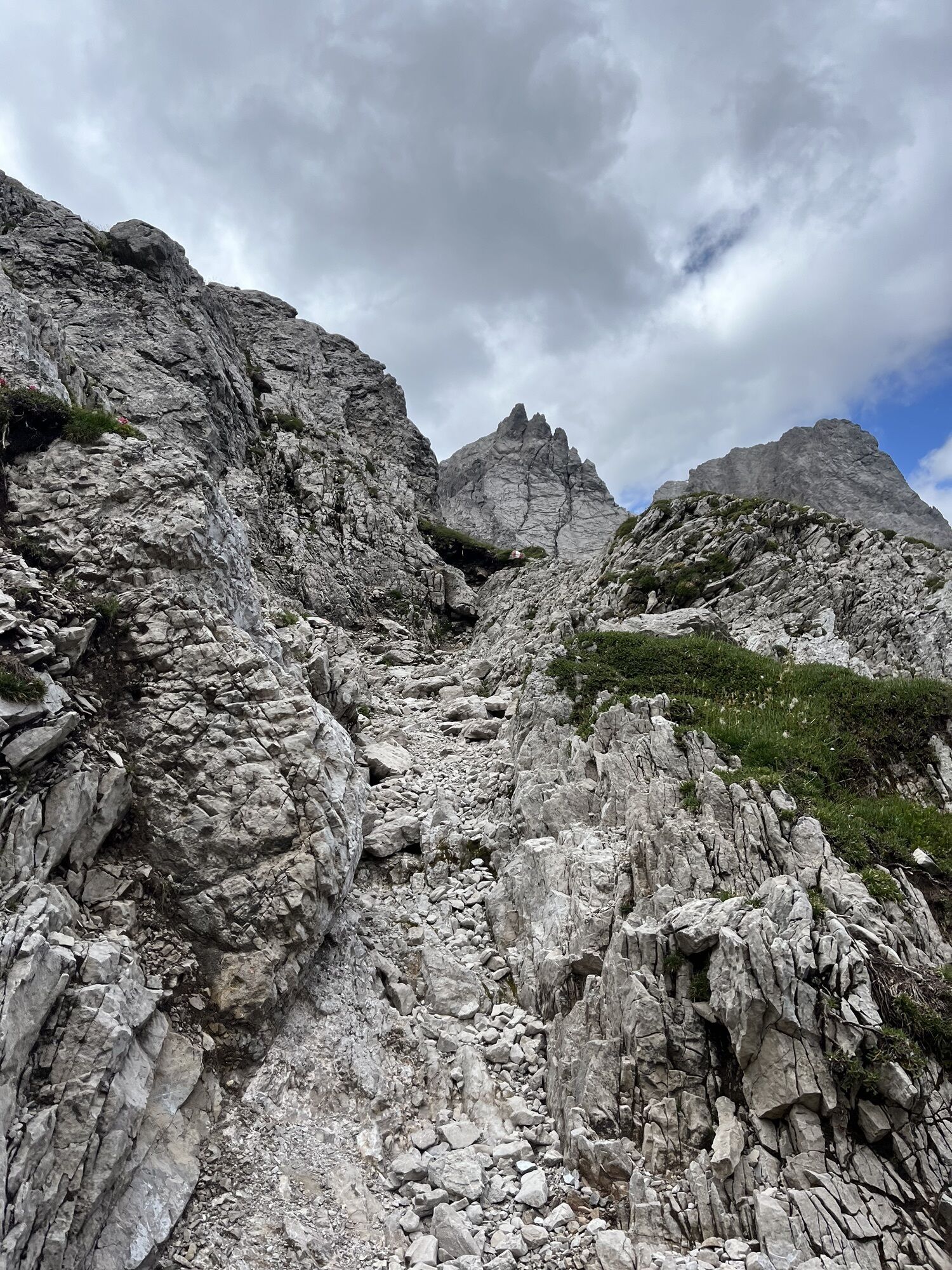
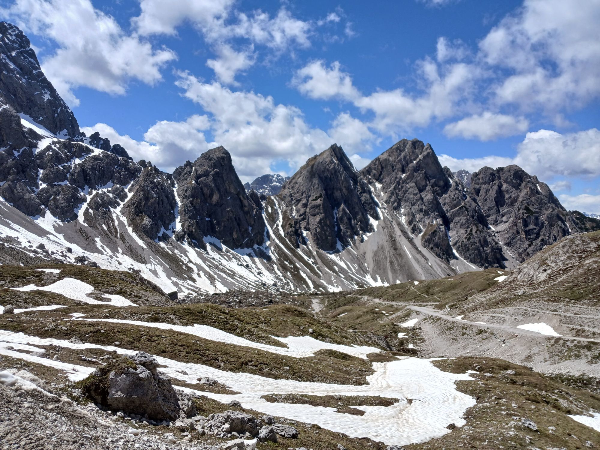
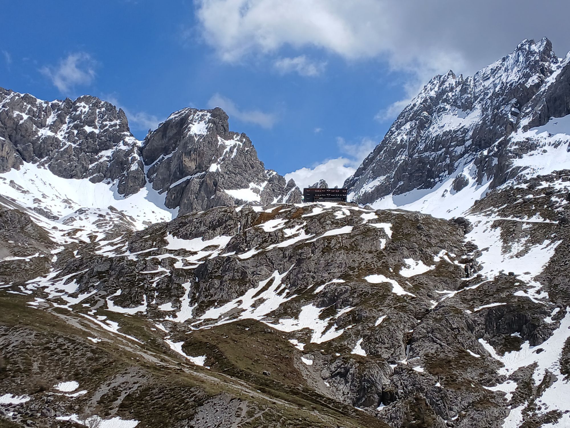
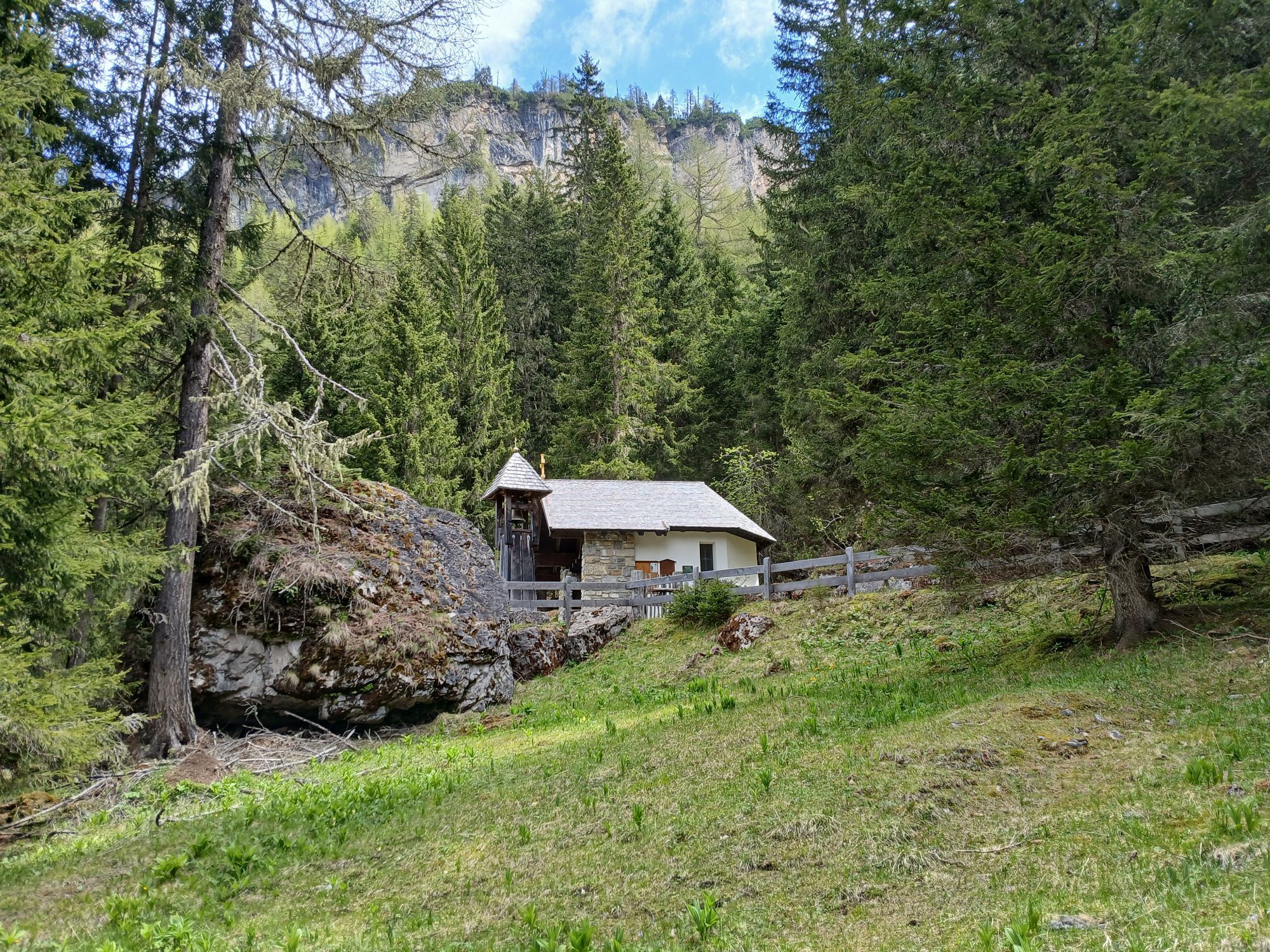
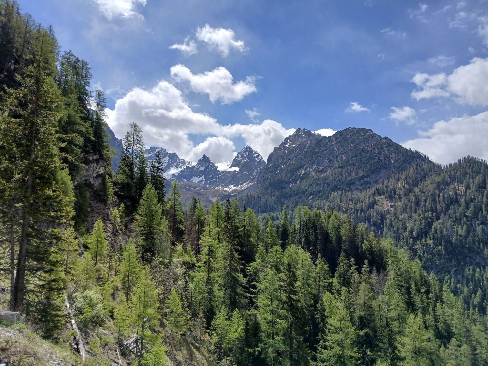
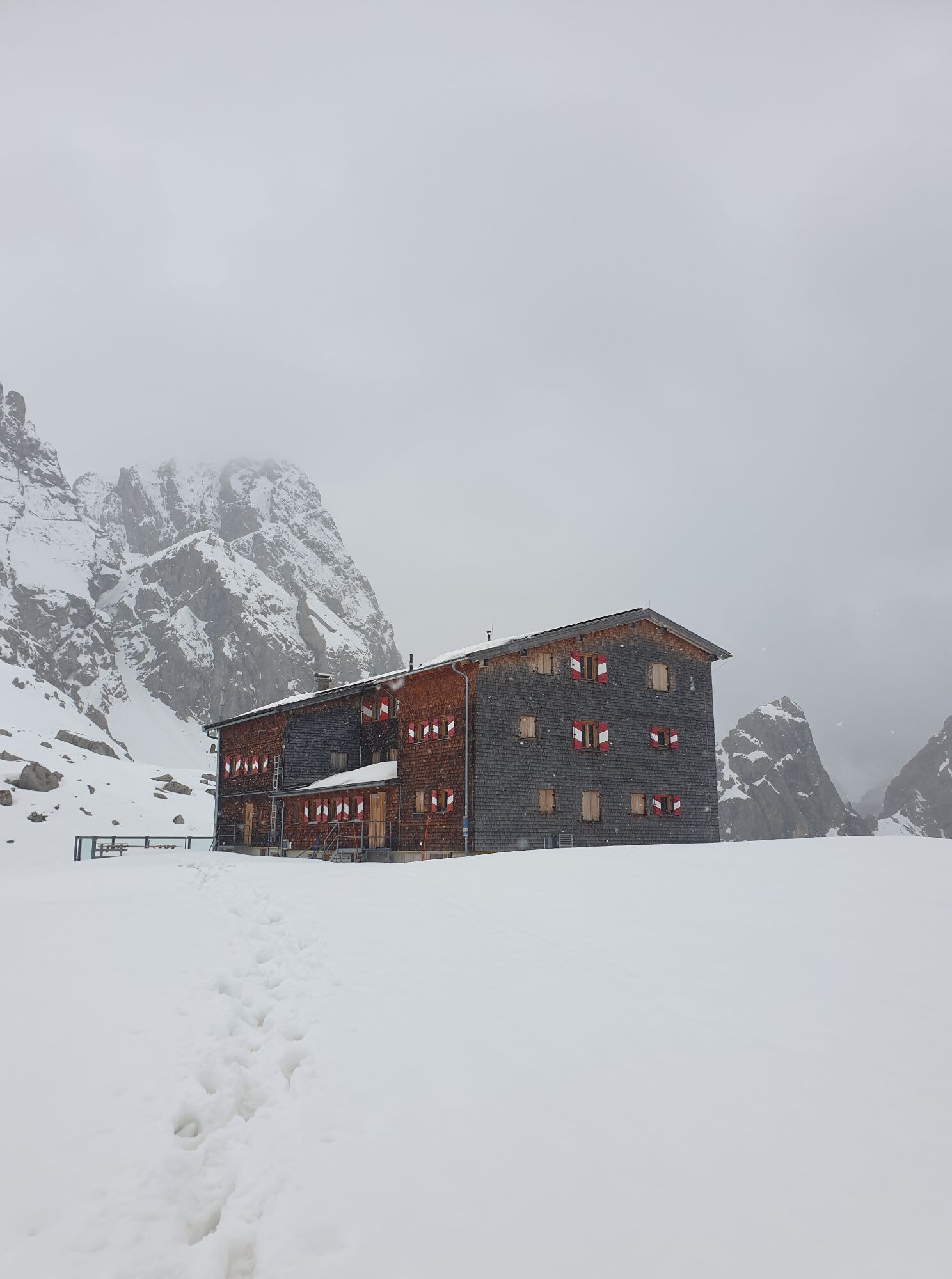
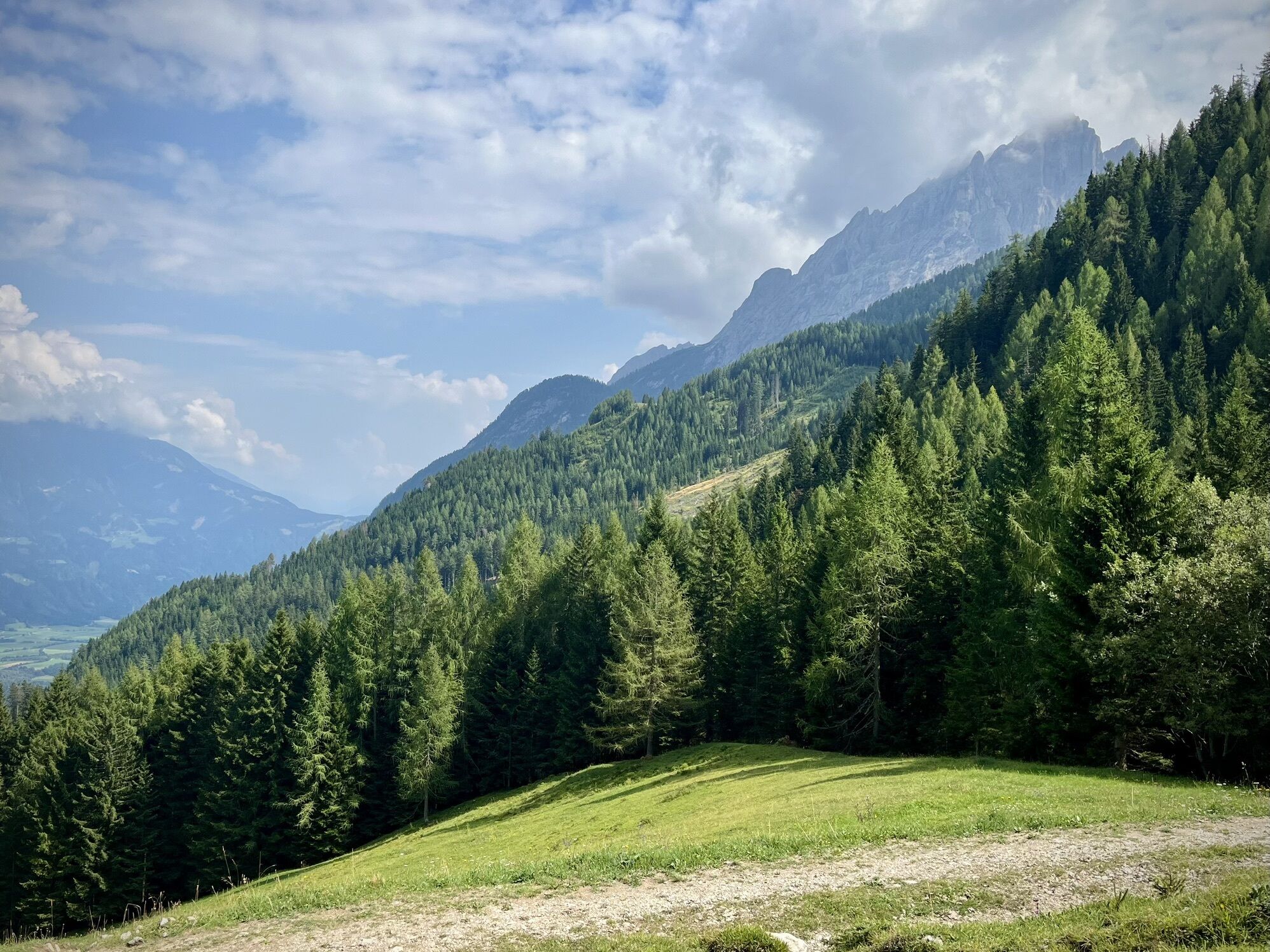
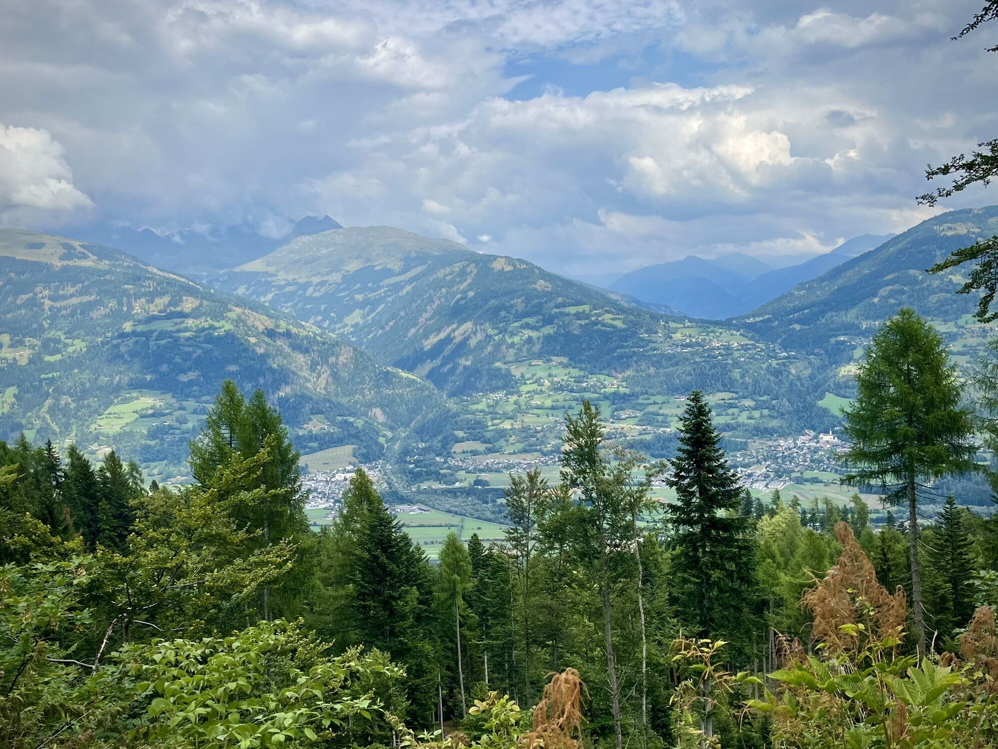
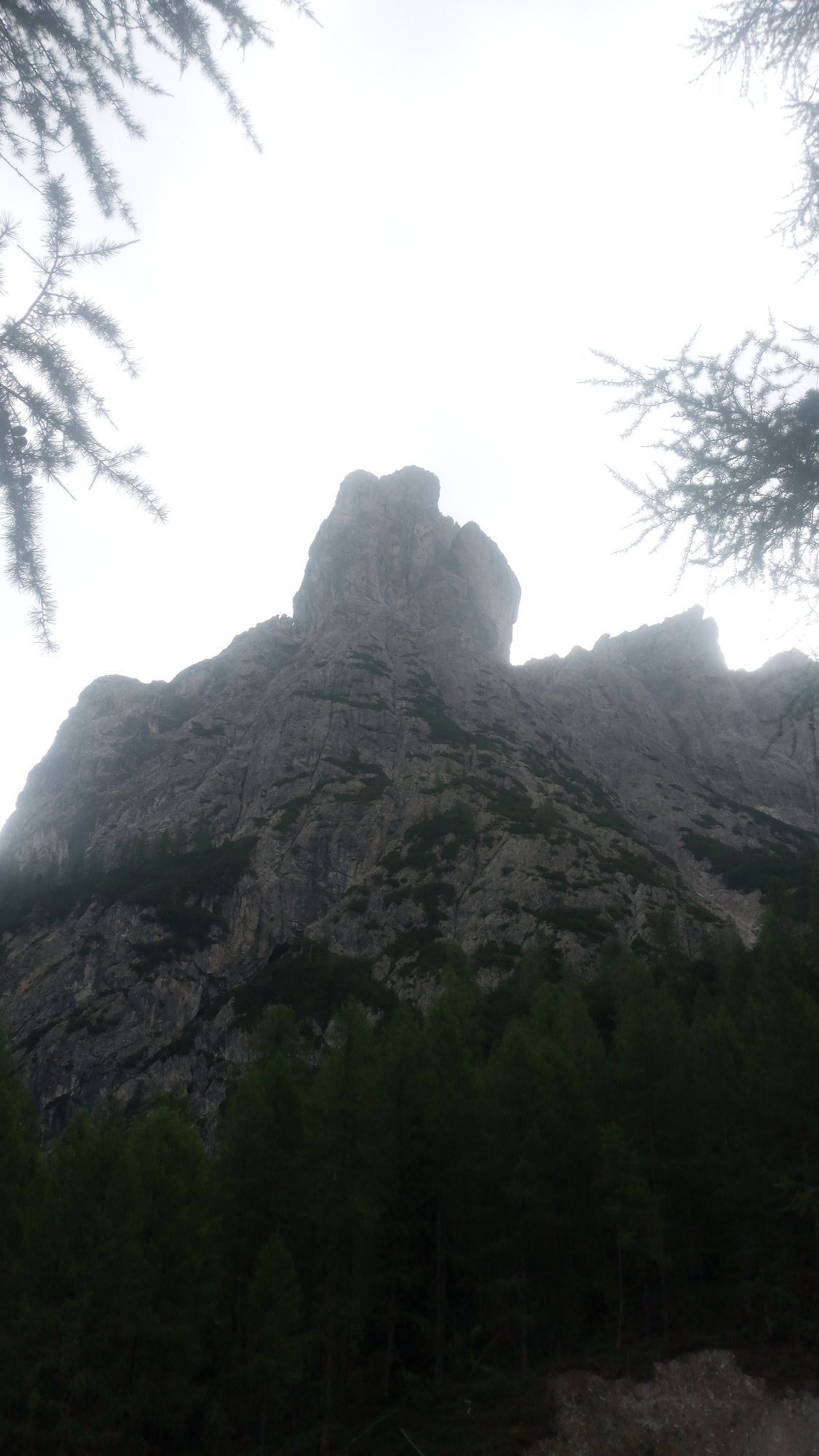
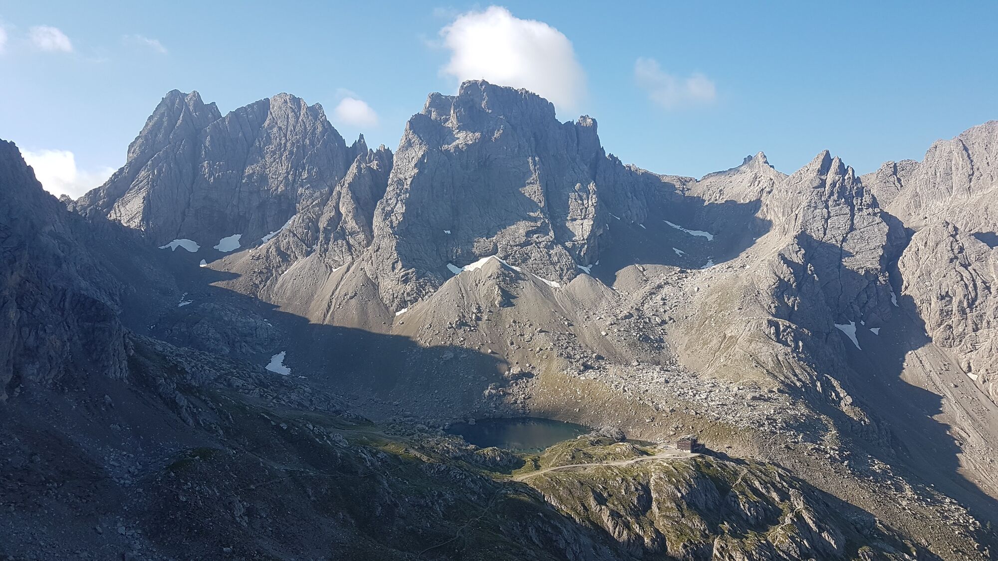
The small, inconspicuous rocky elevation of the Schöttnerspitze in the Lienz Dolomites is located in the long summit ridge of the Laserzwand, to the north west of the Roten Turm. In summer as a single...
Description
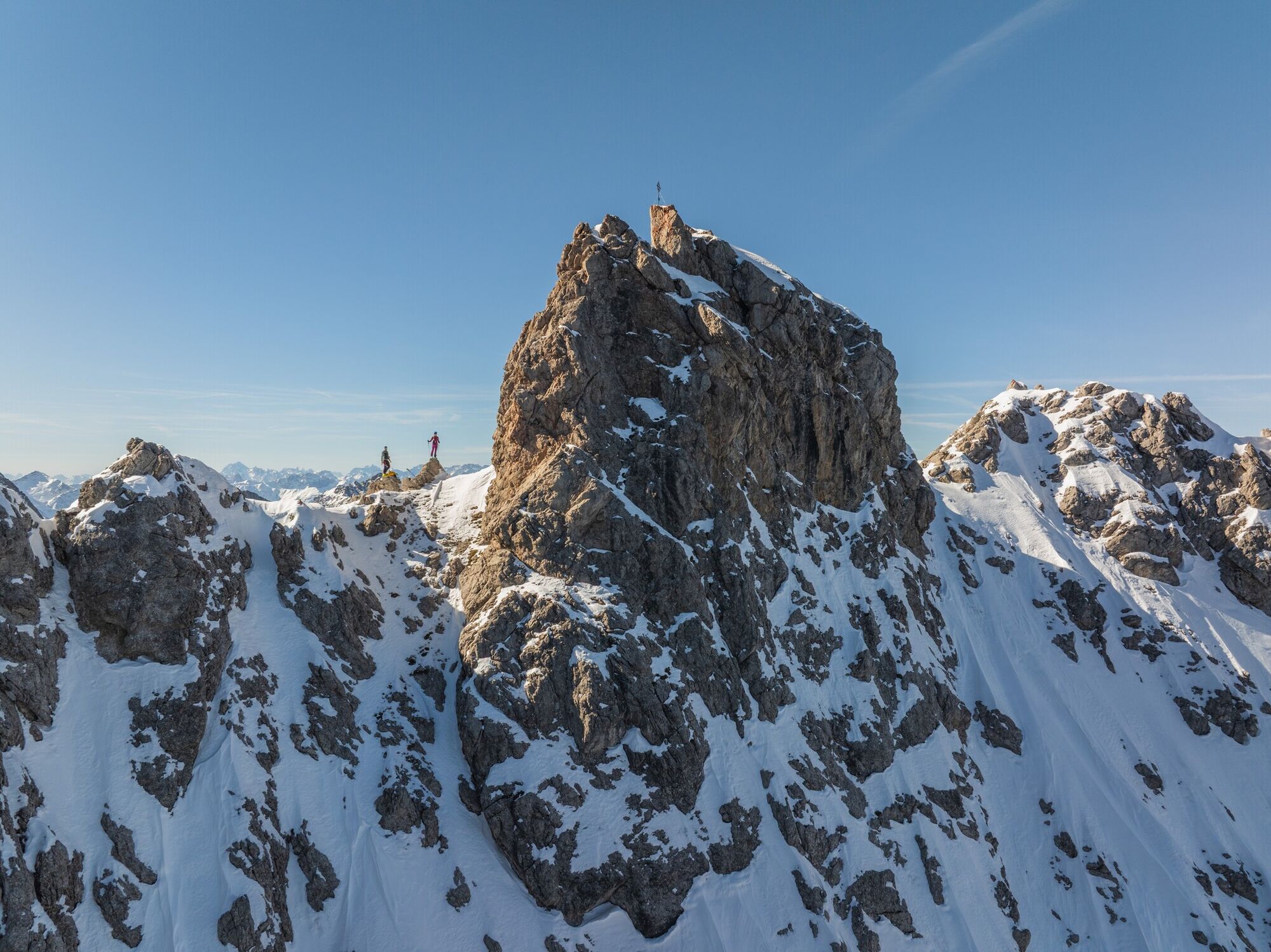
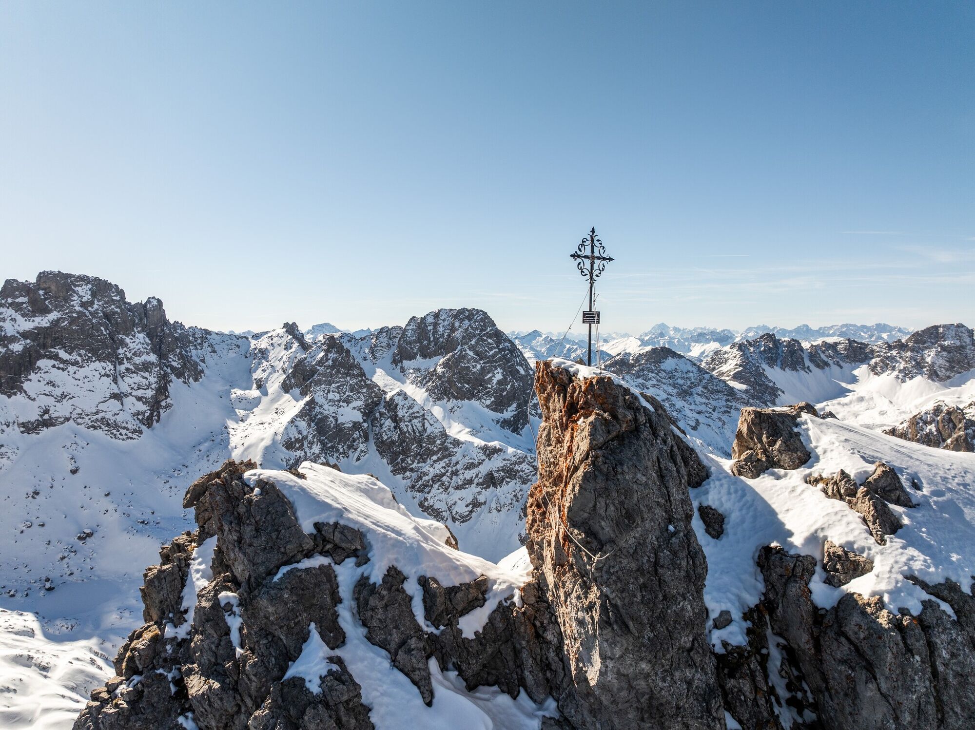
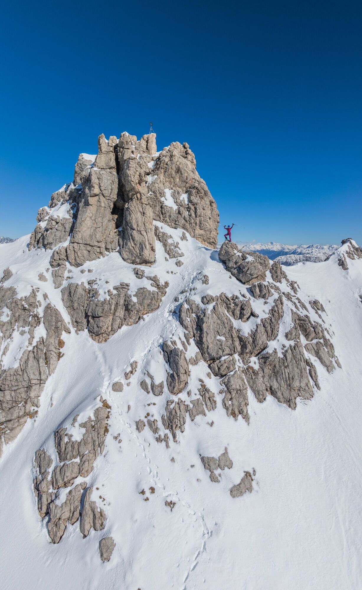
The small, inconspicuous rocky elevation of the Schöttnerspitze in the Lienz Dolomites is located in the long summit ridge of the Laserzwand, to the north west of the Roten Turm. In summer as a single destination of secondary importance, in winter the Schöttnerspitzl is almost perfect for those who are fans of „exposed descents“. The slopes which are rutted with crags require solid ascending and descending technique. In addition after new snow falls and when the temperatures rise, the steep south-facing slopes are threatened by snow slides from vertical terrain and are then to be avoided. Starting point is Gasthaus Kreithof (1050m, fee to park), 3.5km south-east of the town of Tristach, which we get to via the road to Tristacher See. When the toboggan runs are open ascent to Dolomitenhütte (1610m, chains compulsory) is only permitted at certain times or may even be completely closed (taxi service). Via open pastureland we get to the Dolomitenhütte in around an hour, where we now head south beneath steep rugged cliffs into the wide Laserzkessel. The path climbs behind Instein Alm (1680 m) and we leave this in the first big left-hand bend via a fosse to the left of the summer trail. The ski track now proceeds along the summer trail through fields of mountain pines up to the impressive Marcher Stein (2000 m). We keep to the road here and do not cross into the terrain beneath Karlsbader Hütte. A long traverse follows, before we leave the gravel path in the distinct right-hand hairpin bend which heads to the lodge. We get to the first debris slope in a few hairpin bends before, via a small base area, we get to the south-facing slopes (30°) beneath the Laserzwand. After a few moderate hairpin bends the terrain becomes steeper and the track winds between rocks (south 35°, risk of avalanche), above truncated areas, slightly to the west. When there is hard snow or the track is slippy, skis may have to be carried briefly in this section. The slope soon settles and we keep heading west in a wide saddle between the Kleiner Laserzwand and the Schöttnerspitze. In more hairpin bends (south 30°) we climb to a little structure on the summit and get to the highest point in a few exposed climbing sections (I-II). It is also possible to ascend in to the narrow Schmidtsattel to the east of the Schöttnerspitze. Descent along the ascent track.
Additional ski tour tips can be obtained in the ski tour guides by Thomas Mariacher. These are available here: https://www.tyroliaverlag.at/item/Skitouren_in_Osttirol_und_Oberkaernten/Thomas_Mariacher/43058387
Additional ski tour tips can be obtained in the ski tour guides by Thomas Mariacher. These are available here: https://www.tyroliaverlag.at/item/Skitouren_in_Osttirol_und_Oberkaernten/Thomas_Mariacher/43058387
Parcours
Parcours
Ski tour Schöttnerspitze 2.633m
difficile
Ski de randonnée
7,92
km


Informations sur l'itinéraire
Itinéraire
Drive from Lienz to Tristach, through the village and on to the sports field. Turn right towards Lake Tristach. Continue until you reach the Kreithof.
Parking
Kreithof car park
Pas encore d'évaluation
Obtenez un aperçu
Toujours en direct avec plus de 9.500 webcams. En tant qu'utilisateur Pro, vous pouvez désormais voir les webcams correspondantes à de nombreuses randonnées dans l'application de randonnées de bergfex. Vous pouvez ainsi voir directement les conditions actuelles.
Parcours populaires à proximité
-
5,0
Tour de l'Ederplan depuis le parking de Stronach
moyenRandonnée 7,19 km -
4,7
Karlsbader Hütte über Rudl-Eller-Weg
difficileRandonnée 5,10 km -
4,8
Pirknerklamm (C)
moyenVia ferrata 2 km -
4,8
Lienzer Dolomiten-Lasertörl
moyenRandonnée 13,2 km -
4,7
Obergail - alpage d'Obergail - lac d'Obergail - refuge Enderberg - source de Santé & Paix - parcours circulaire Madonna - Obergail
moyenRandonnée 11,4 km -
4,0
Karlsbader Hütte - Lienzer Dolomiten
Randonnée 8 km -
4,7
Karlsbader Hütte
moyenVTT 13,4 km -
4,3
Connyalm (2.070 m)
Randonnée 6,36 km -
4,2
Straßkopf
moyenRandonnée 4,06 km -
5,0
Tuffbad - Guggenberger Sattel - Samalm - Tuffbad
moyenRandonnée 12,2 km
Randonnée et suivi

Plus de 550.000 propositions de circuits, des cartes détaillées et un planificateur d'itinéraire intuitif font de cette application un must pour tous les passionnés de nature.

Ne manquez pas les offres et l'inspiration pour vos prochaines vacances
S'inscrire à la newsletter
Erreur
Une erreur s'est produite. Veuillez réessayer.
Merci pour votre inscription
Votre adresse électronique a été ajouté à la liste de diffusion.
Parcours en Europe
Autriche
Suisse
Allemagne
Italie
Slovénie
France
Pays-Bas
Belgique
Pologne
Liechtenstein
République tchèque
Slovaquie
Espagne
Croatie
Bosnie-Herzégovine
Luxembourg
Andorre
Portugal
Islande
Royaume-Uni
Irlande
Grèce
Albanie
Macédoine du Nord
Malte
Norvège
Monténégro
Moldavie
Kosovo
Hongrie
Saint-Marin
Roumanie
Estonie
Lettonie
Bélarus
Chypre
Lituanie
Serbie
Bulgarie
Monaco
Danemark
Suède
Finlande





