Großer Geiger 3.360m
difficile
Télécharge cette visite sur ton portable
Großer Geiger 3.360m
difficile
Ski de randonnée
11,34
km
Scanner le code QR et commencer la navigation dans l'application bergfex

Randonnée & tracking


Großer Geiger 3.360m
difficile
Distance
11,34
km
Durée
06:00
h
Ascension
1.923
m
Altitude
1.403 -
3.353
m
Téléchargement de la piste
Großer Geiger 3.360m
difficile
Ski de randonnée
11,34
km


The Großer Geiger is one of the loveliest ski summits in the Venediger group, which is why it is way up there on many a ski tourer’s wish list. Whereas the Salzburg side is rocky, the ascent on the East...
Description
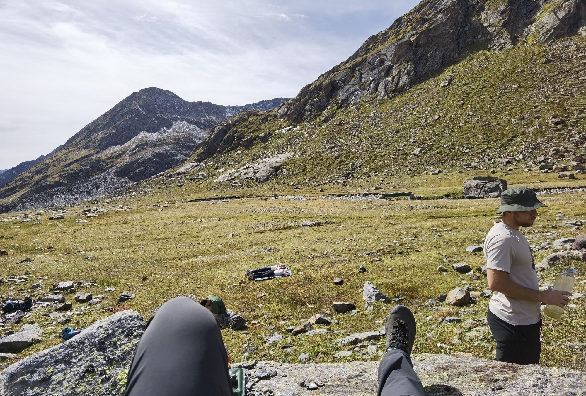
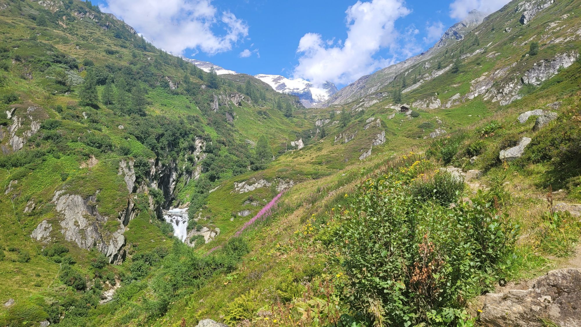
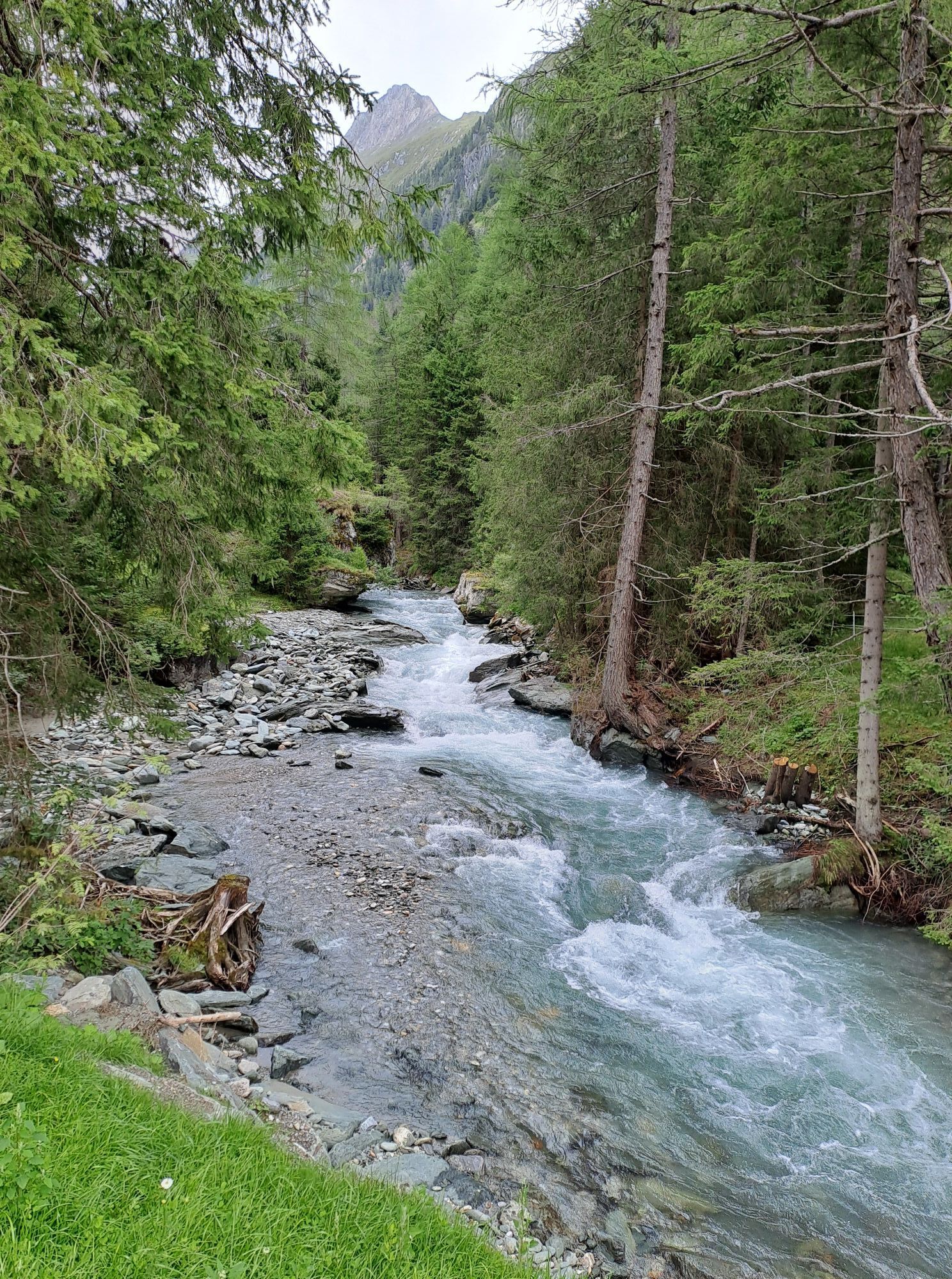
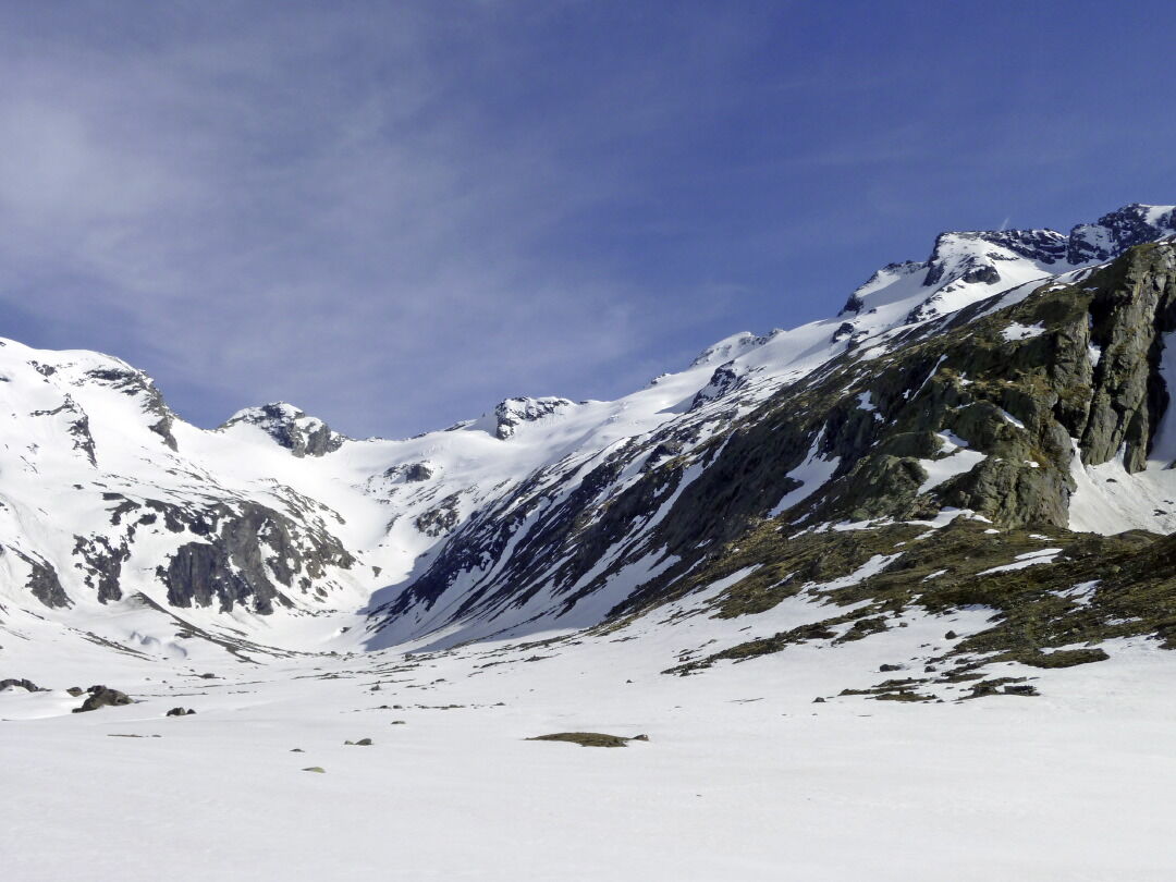
The Großer Geiger is one of the loveliest ski summits in the Venediger group, which is why it is way up there on many a ski tourer’s wish list. Whereas the Salzburg side is rocky, the ascent on the East Tirol side is a superb steep glacier flank, up to just before the summit. Starting point for this ski tour is Essener-Rostocker Hütte (2208 m, open from March), way up in Maurertal. It can be reached in 2 – 2 ½
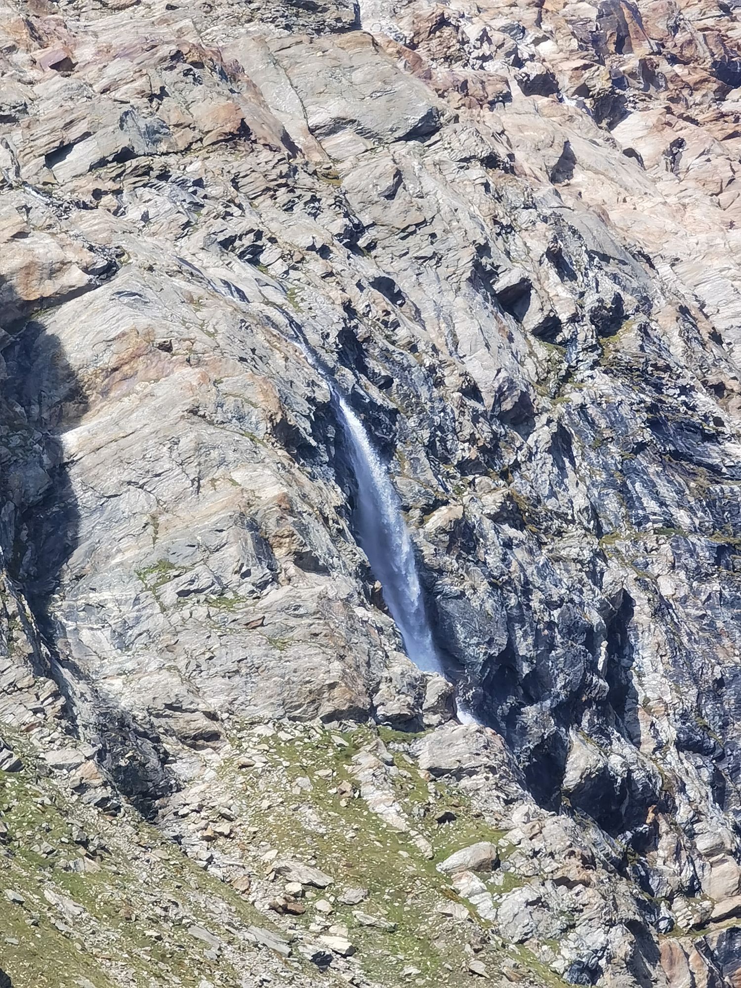
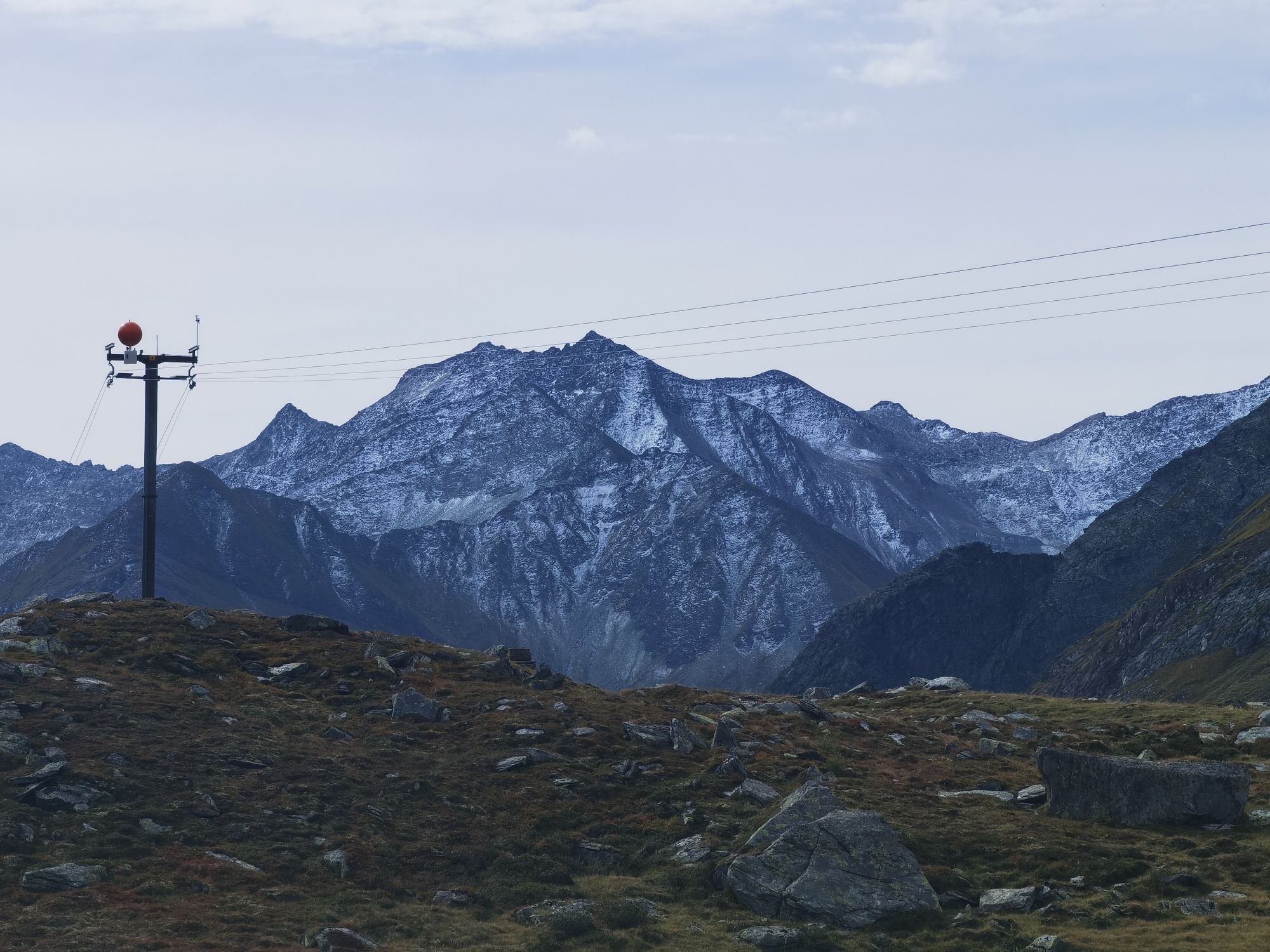
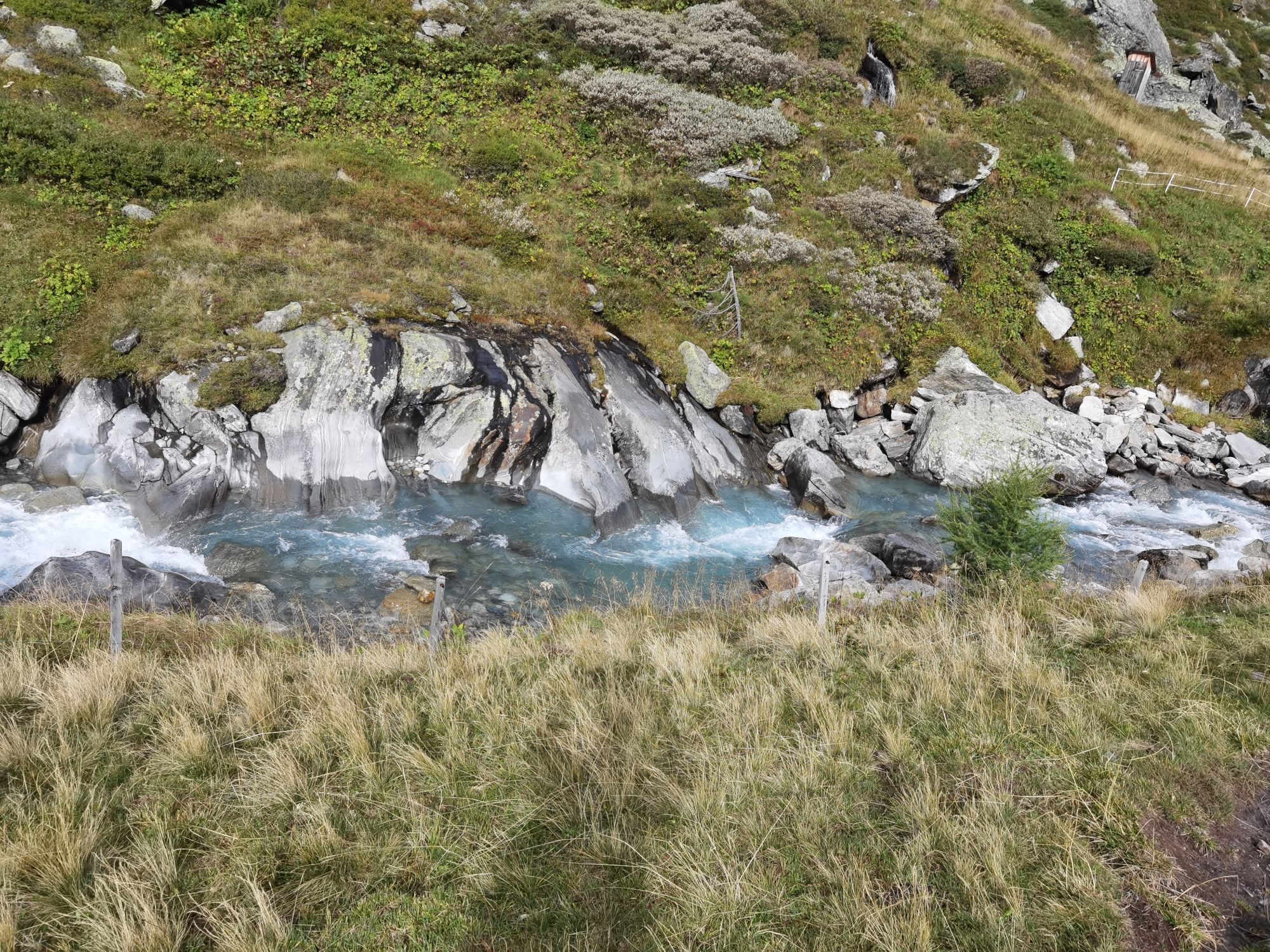
Hours from the car parking area in Ströden/Hinterbichl. Please note that Maurertal is a v-shaped valley which is threatened by avalanches! From the lodge we follow the long base, cut by the glacier, in a northerly direction until after an hour we enter the remainder of the Maurer Kees. The ski track now proceeds markedly steeper upwards. To the west of us the wide glacier slopes of the Maurertörl now lie before us, presenting a high alpine, adventurous crossing to Kürsinger Hütte. At some 2750 m we come to a moraine, where we head east to the crest of the summit of the Großer Geiger via a climbing, crevasse-filled glacier. We enter a small glacier plateau beneath the debris-covered summit flanks. Depending on the conditions and your ability level you can proceed on foot or using your ability to cope with hairpin bends, up to the
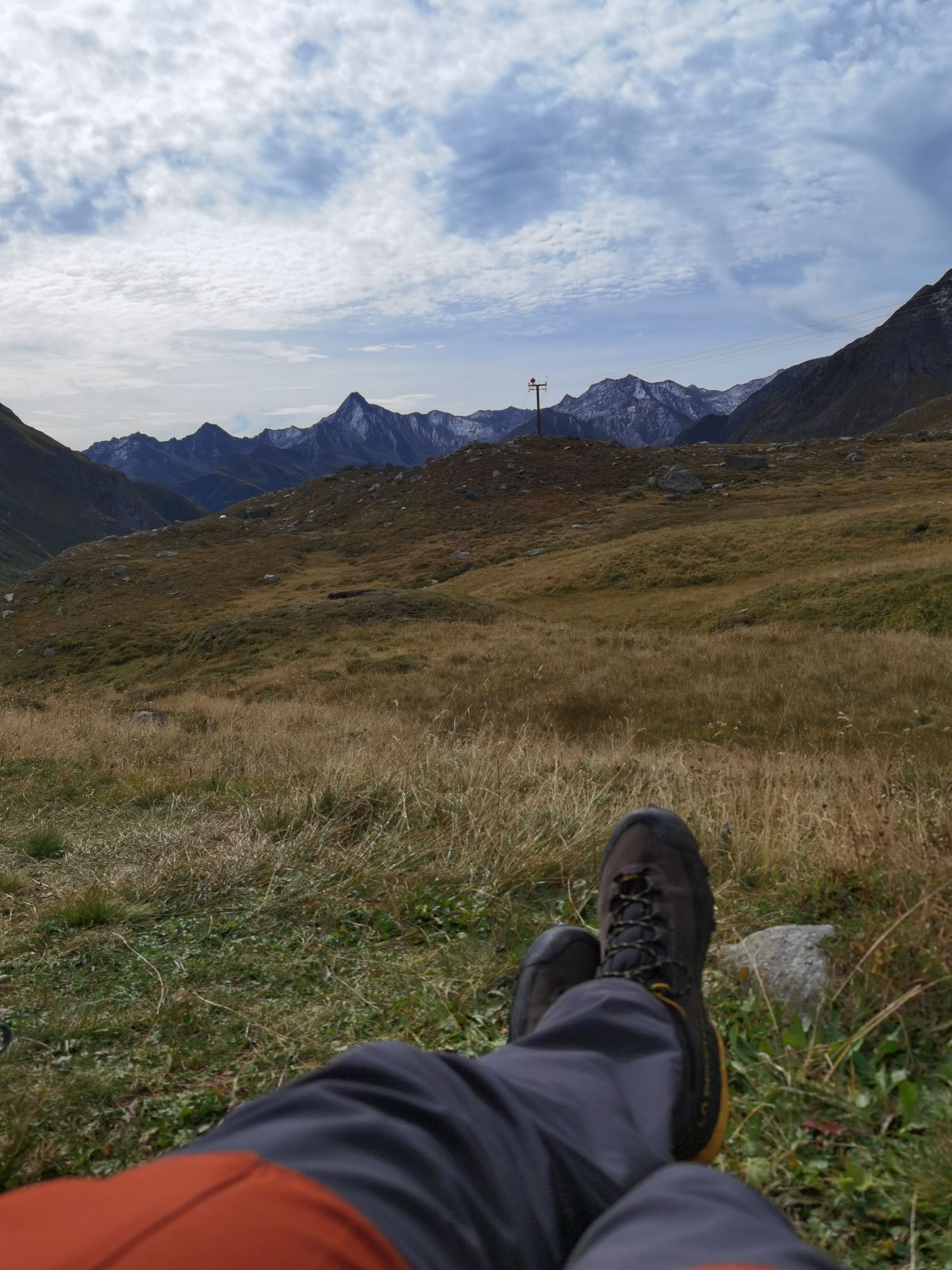
Highest point which has an interesting metal cross. 3-4 hours from the lodge, 5-6 hours from the valley. Descent along the ascent track. Please note – since this tour is in glaciated high mountain terrain, please take the requisite safety precautions.
Additional ski tour tips can be obtained in the ski tour guides by Thomas Mariacher. These are available here:
https://www.tyroliaverlag.at/item/Skitouren_in_Osttirol_und_Oberkaernten/Thomas_Mariacher/43058387
Hours from the car parking area in Ströden/Hinterbichl. Please note that Maurertal is a v-shaped valley which is threatened by avalanches! From the lodge we follow the long base, cut by the glacier, in a northerly direction until after an hour we enter the remainder of the Maurer Kees. The ski track now proceeds markedly steeper upwards. To the west of us the wide glacier slopes of the Maurertörl now lie before us, presenting a high alpine, adventurous crossing to Kürsinger Hütte. At some 2750 m we come to a moraine, where we head east to the crest of the summit of the Großer Geiger via a climbing, crevasse-filled glacier. We enter a small glacier plateau beneath the debris-covered summit flanks. Depending on the conditions and your ability level you can proceed on foot or using your ability to cope with hairpin bends, up to the
Highest point which has an interesting metal cross. 3-4 hours from the lodge, 5-6 hours from the valley. Descent along the ascent track. Please note – since this tour is in glaciated high mountain terrain, please take the requisite safety precautions.
Additional ski tour tips can be obtained in the ski tour guides by Thomas Mariacher. These are available here:
https://www.tyroliaverlag.at/item/Skitouren_in_Osttirol_und_Oberkaernten/Thomas_Mariacher/43058387
Parcours
Ströden
(1.403 m)
Lotissement
0,0 km
Jausenstation Stoan-Alm
(1.469 m)
Restaurant
1,3 km
Essener-Rostocker Hütte
(2.204 m)
Refuge
5,9 km
Großer Geiger
(3.360 m)
Sommet
11,3 km
Parcours
Großer Geiger 3.360m
difficile
Ski de randonnée
11,34
km
Ströden
(1.403 m)
Lotissement
0,0 km
Jausenstation Stoan-Alm
(1.469 m)
Restaurant
1,3 km
Essener-Rostocker Hütte
(2.204 m)
Refuge
5,9 km
Großer Geiger
(3.360 m)
Sommet
11,3 km
Dernier suivi
aujourd'hui
Équipement
Avalanche equipmentCrampons and ice axe
Informations sur l'itinéraire
Itinéraire
Felbertauern: Matrei - Virgen - Prägraten a. G. - Parkplatz Ströden
Lienz: Huben - Matrei - Virgen - Prägraten a. G. - Parkplatz Ströden
Lienz: Huben - Matrei - Virgen - Prägraten a. G. - Parkplatz Ströden
Transports en commun
Bus stop Prägraten a. G. Hinterbichl
Parking
Parkplatz Ströden
Pas encore d'évaluation
Parcours populaires à proximité
- 4,8
NaturKraftWeg Umbalfälle
facileChemin thématique 5,99 km - 4,1
Gletscherlehrweg Innergschlöß
moyenRandonnée 9,36 km - 4,8
Stoden - Clarahütte
moyenRandonnée 7,12 km - 4,9
Circular hike suspension bridge Isel Canyon via "Hohe Bank"
moyenRandonnée 8,11 km - 4,9
Oberhausalm - Jagdhaushütte
facileRandonnée 14,0 km - 4,8
Krimmler Achental
moyenE-Bike 18,4 km - 4,7
Wiesbauerspitze 2.767 m
moyenRandonnée 9,66 km - 4,1
Habachtal bis zur Thüringer Hütte
Randonnée 6,53 km - 4,2
Seespitze
moyenRandonnée 13,7 km - 5,0
Muhs-Panoramaweg
moyenRandonnée 14,0 km
Randonnée et suivi

Plus de 550.000 propositions de circuits, des cartes détaillées et un planificateur d'itinéraire intuitif font de cette application un must pour tous les passionnés de nature.

Ne manquez pas les offres et l'inspiration pour vos prochaines vacances
S'inscrire à la newsletter
Erreur
Une erreur s'est produite. Veuillez réessayer.Merci pour votre inscription
Votre adresse électronique a été ajouté à la liste de diffusion.
Parcours en Europe
Autriche Suisse Allemagne Italie Slovénie France Pays-Bas Belgique Pologne Liechtenstein République tchèque Slovaquie Espagne Croatie Bosnie-Herzégovine Luxembourg Andorre Portugal Islande Royaume-Uni Irlande Grèce Albanie Macédoine du Nord Malte Norvège Monténégro Moldavie Kosovo Hongrie Saint-Marin Roumanie Estonie Lettonie Bélarus Chypre Lituanie Serbie Bulgarie Monaco Danemark Suède Finlande