
Ski tour Hochtor 2.470m
moyen
Télécharge cette visite sur ton portable
Ski tour Hochtor 2.470m
moyen
Ski de randonnée
4,70
km
Scanner le code QR et commencer la navigation dans l'application bergfex


Randonnée & tracking





Ski tour Hochtor 2.470m
moyen
Distance
4,70
km
Durée
03:00
h
Ascension
952
m
Altitude
1 486 -
2 461
m

Naviguez dans votre circuit depuis l'application
Téléchargez gratuitement l'application et suivez votre parcours grâce à la navigation GPS et au suivi.
Profitez dès maintenant d'bergfex, dans l'application
Scannez le code QR avec votre appareil photo
Une fois l'application installée, le contenu s'ouvre directement. Si vous ne disposez pas encore de l'application, vous serez redirigé vers la page de téléchargement gratuit.
Téléchargement de la piste
Ski tour Hochtor 2.470m
moyen
Ski de randonnée
4,70
km
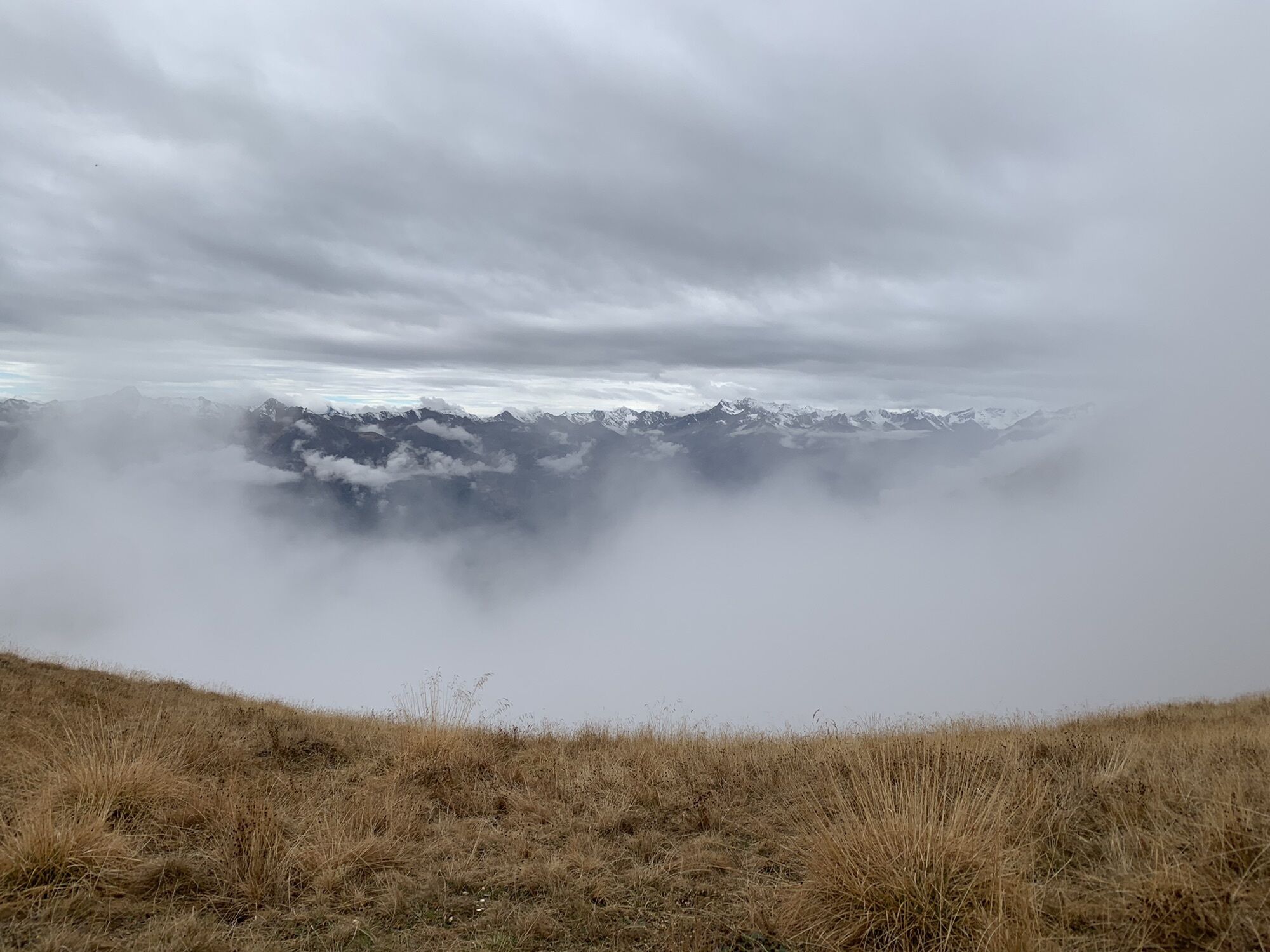

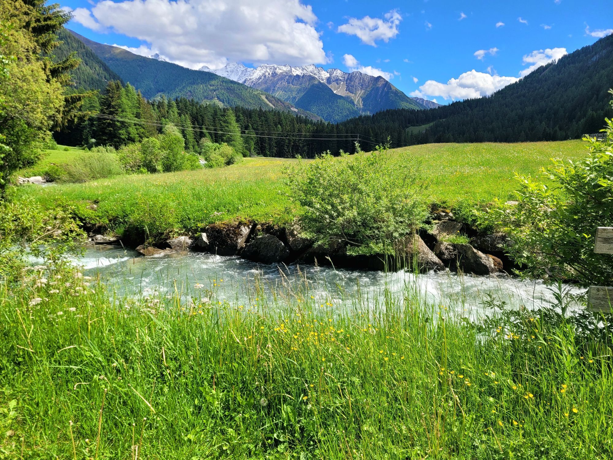
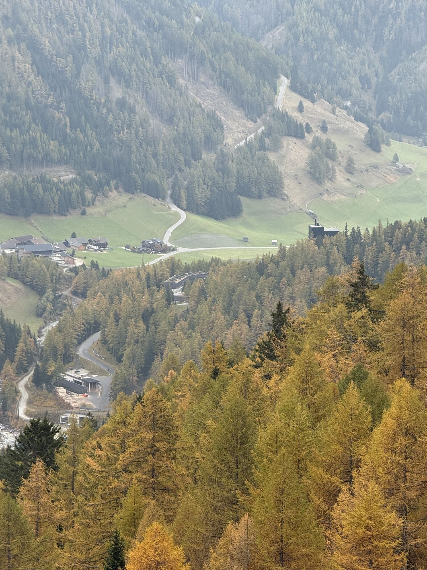
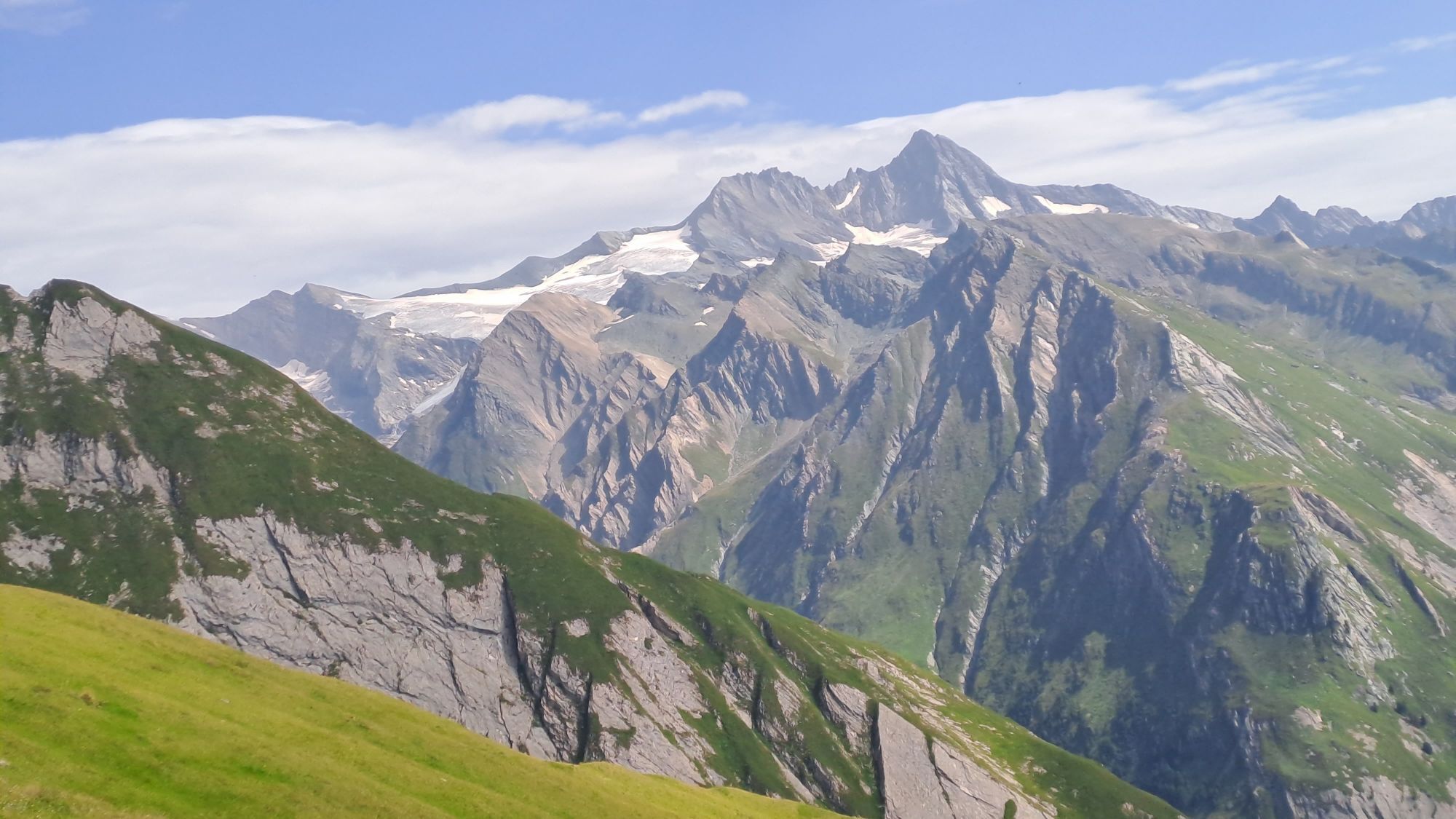
Starting point is the Hotel Taurerwirt (1500 m) at the end of the Kalser Tal. From the car park proceed briefly via the trail to Dorfertal (slope), before we leave this to the left via a small bridge....
Description
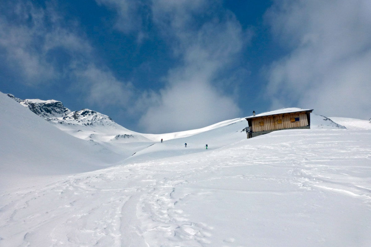
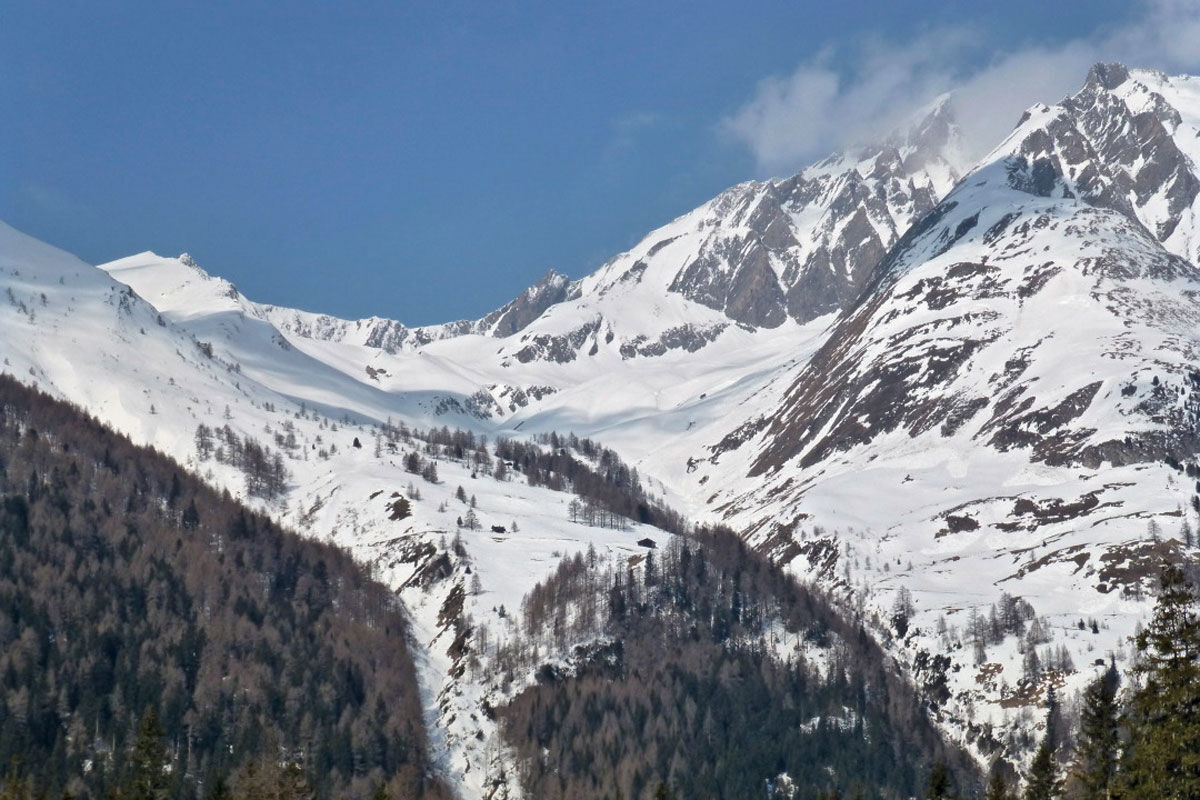
Starting point is the Hotel Taurerwirt (1500 m) at the end of the Kalser Tal. From the car park proceed briefly via the trail to Dorfertal (slope), before we leave this to the left via a small bridge. There are two options here. Variant 1 follows the yellow route signposts through the forest, which is steep at the start, up to Kehrer Alm (1843 m). It is important at around 1800 m to cross Mitterling Bach to the south to the Alpine lodges (summer trail). Variant 2 proceeds somewhat more leisurely from the bridge, still around 400 m in the bottom of the valley and reaches the Kehrer Alm via a forest trail, which may be shortened by heading through woodland terrain. The terrain now becomes more open and via pastureland flanks we now make our way beneath the slopes which climb to the Blauspitze to a light wood panelled Alpine lodge (2.242 m) which can be seen from quite a distance, behind an edge in the terrain. The slope under here is quite steep (east, >30°) and requires safe snow conditions. From the Alpine inn the ski track proceeds along a shallow trough to the west to the destination of our tour, a wide wind gap to the right of a distinct rocky ridge. This bears the name ‘Hochtor’ or Hohes Tor (2 ½- 3 hours from the Taurerwirt).
Additional ski tour tips can be obtained in the ski tour guides by Thomas Mariacher. These are available here: https://www.tyroliaverlag.at/item/Skitouren_in_Osttirol_und_Oberkaernten/Thomas_Mariacher/43058387


Équipement
Basic equipment for ski tours includes touring skis with skins, touring poles, suitable touring ski boots and functional clothing based on the layering principle including sufficient spare clothes. Keep your backpack weight as low as possible. Essential in open terrain is complete avalanche emergency equipment (transceiver, shovel, probe) as well as a first aid kit, a bivy sack and a charged mobile phone. Sufficient fluids and food should also be carried. An avalanche airbag backpack can further increase the chances of survival in an emergency.
This information serves as a guide and does not claim to be exhaustive. Equipment must always be adapted to the tour destination, weather conditions, season, natural hazards, environmental influences and personal needs.
This information serves as a guide and does not claim to be exhaustive. Equipment must always be adapted to the tour destination, weather conditions, season, natural hazards, environmental influences and personal needs.
Pas encore d'évaluation
Webcams de la tournée

Toutes les webcams sur une carte
Téléchargez gratuitement l'application et comparez les images en direct de plusieurs lieux avant de partir.
Profitez dès maintenant d'bergfex, dans l'application
Scannez le code QR avec votre appareil photo
Une fois l'application installée, le contenu s'ouvre directement. Si vous ne disposez pas encore de l'application, vous serez redirigé vers la page de téléchargement gratuit.
Parcours populaires à proximité
- 4,8
Summit hike Rotenkogel 2,762m
difficileRandonnée 4,22 km - 4,8
Kaiser-Franz-Josefs-Höhe au refuge Oberwalder
difficileRandonnée 5,52 km - 4,6
Circular hike Proßeggklamm
moyenRandonnée 8,41 km - 4,5
Chemin glaciaire vers la Pasterze avec le Gamsgrubenweg (jusqu'au tunnel 6)
moyenRandonnée 8,05 km - 4,9
Figerhorn 2743m, Lucknerhaus
difficileRandonnée 6,69 km - 4,9
Glockner Alpincenter - Salmhütte - Hohenwartkees
moyenRandonnée 8,64 km - 4,9
Glockner
moyenRandonnée d'altitude 19 km - 4,7
Glödis 3206m: PP Seichenbrunn, Lienzer Hütte, Glödis KS A/B
difficileRandonnée d'altitude 16,1 km - 4,8
Adlerlounge Europapanoramaweg
moyenRandonnée 6,86 km - 4,6
Runde um den Weißsee - Gletscherlehrpfad Uttendorf, Österreich
moyenRandonnée 6,48 km
Randonnée et suivi

Plus de 550.000 propositions de circuits, des cartes détaillées et un planificateur d'itinéraire intuitif font de cette application un must pour tous les passionnés de nature.

Ne manquez pas les offres et l'inspiration pour vos prochaines vacances
S'inscrire à la newsletter
Erreur
Une erreur s'est produite. Veuillez réessayer.Merci pour votre inscription
Votre adresse électronique a été ajouté à la liste de diffusion.
Parcours en Europe
Autriche Suisse Allemagne Italie Slovénie France Pays-Bas Belgique Pologne Liechtenstein République tchèque Slovaquie Espagne Croatie Bosnie-Herzégovine Luxembourg Andorre Portugal Islande Royaume-Uni Irlande Grèce Albanie Macédoine du Nord Malte Norvège Monténégro Moldavie Kosovo Hongrie Saint-Marin Roumanie Estonie Lettonie Bélarus Chypre Lituanie Serbie Bulgarie Monaco Danemark Suède Finlande





