
Ski tour Stronachkogel 1.831m
facile
Télécharge cette visite sur ton portable
Ski tour Stronachkogel 1.831m
facile
Ski de randonnée
3,71
km
Scanner le code QR et commencer la navigation dans l'application bergfex


Randonnée & tracking





Ski tour Stronachkogel 1.831m
facile
Distance
3,71
km
Durée
02:00
h
Ascension
701
m
Altitude
1 140 -
1 828
m
Téléchargement de la piste
Ski tour Stronachkogel 1.831m
facile
Ski de randonnée
3,71
km
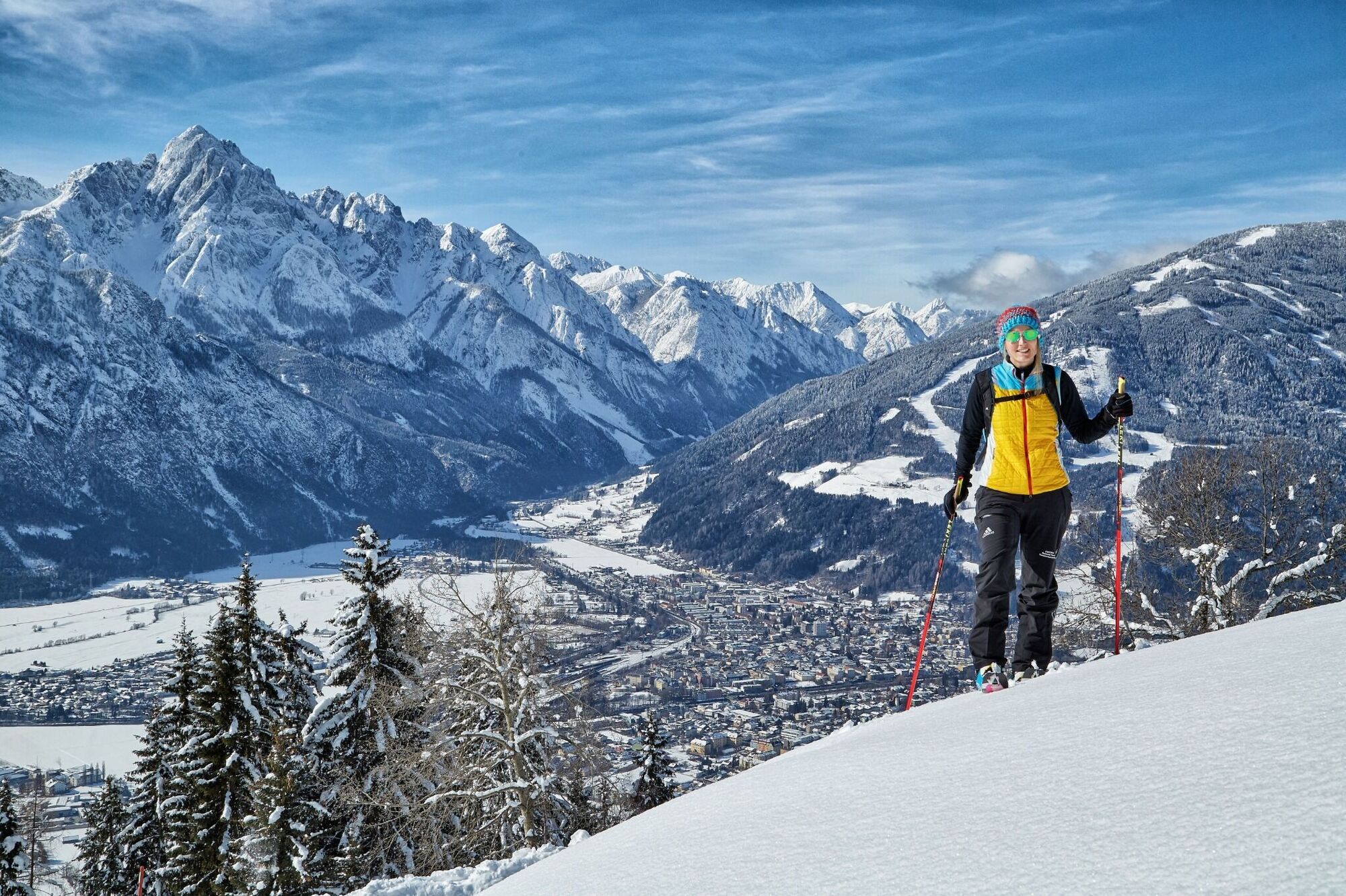
The Stronachkogel, a stolid ‘forested hill’ in the east of Lienz, is the ideal tour destination for a leisurely ski hike in the sun and in tranquil surroundings. Next to the Rauchkofel it is one of the...
Description
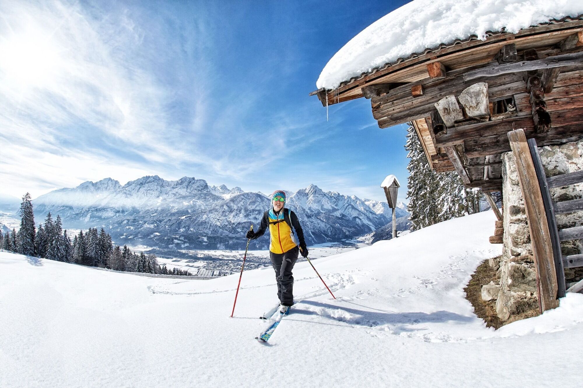
The Stronachkogel, a stolid ‘forested hill’ in the east of Lienz, is the ideal tour destination for a leisurely ski hike in the sun and in tranquil surroundings. Next to the Rauchkofel it is one of the few elevations in Osttirol which exceeds the 2000 metre mark. The ski hike to the Kogel can only be carried out when there is sufficient snow, which is not the case every winter. Starting point is the parish of Stronach (1106 m). The forest trail starts here heading up to the Zwischenberger Sattel. We follow this for 500 metres, before the signposts to the left of the sun-drenched Alpine lodge (Virger Boden) take us to the start of a glade. Here, for the first time, the route can be truncated via a pasture, or we can slowly proceed higher up in a long-drawn-out right-left loop, staying on the forest trail which provides plenty of views. Later this is truncated via further glades and by timber felling (pay attention to the route signpost), before the ski track swings via Stronacher Wiesen to the traditional Stronachalm (around 1720 m). The terrain now becomes more open and via a final short slope we climb north-east to a nice summit cross situated on a wide forest peak. Descent along the ascent track.
Additional ski tour tips can be obtained in the ski tour guides by Thomas Mariacher. These are available here: http://www.grafikzloebl.at/verlag/buecher/
Parcours
Parcours
Ski tour Stronachkogel 1.831m
facile
Ski de randonnée
3,71
km


Informations sur l'itinéraire
Itinéraire
Lienz in the direction of Iselsberg until the turn-off in the direction of Stronach.
Transports en commun
Take the 942 bus to the Iselsberg Dolomitenblick bus stop. However, there is no direct connection to the start of the ski tour.
Pas encore d'évaluation
Obtenez un aperçu
Toujours en direct avec plus de 9.500 webcams. En tant qu'utilisateur Pro, vous pouvez désormais voir les webcams correspondantes à de nombreuses randonnées dans l'application de randonnées de bergfex. Vous pouvez ainsi voir directement les conditions actuelles.
Parcours populaires à proximité
-
5,0
Tour de l'Ederplan depuis le parking de Stronach
moyenRandonnée 7,19 km -
4,9
Wangennitzsee Hütte
moyenRandonnée 3,80 km -
4,7
Karlsbader Hütte über Rudl-Eller-Weg
difficileRandonnée 5,10 km -
4,8
Pirknerklamm (C)
moyenVia ferrata 2 km -
4,8
Lienzer Dolomiten-Lasertörl
moyenRandonnée 13,2 km -
4,7
Glödis 3206m: PP Seichenbrunn, Lienzer Hütte, Glödis KS A/B
difficileRandonnée d'altitude 16,1 km -
4,0
Karlsbader Hütte - Lienzer Dolomiten
Randonnée 8 km -
4,7
Karlsbader Hütte
moyenVTT 13,4 km -
4,2
Straßkopf
moyenRandonnée 4,06 km -
3,9
Randonnée au sommet du Hochstadel
moyenRandonnée 7,83 km
Randonnée et suivi

Plus de 550.000 propositions de circuits, des cartes détaillées et un planificateur d'itinéraire intuitif font de cette application un must pour tous les passionnés de nature.

Ne manquez pas les offres et l'inspiration pour vos prochaines vacances
S'inscrire à la newsletter
Erreur
Une erreur s'est produite. Veuillez réessayer.
Merci pour votre inscription
Votre adresse électronique a été ajouté à la liste de diffusion.
Parcours en Europe
Autriche
Suisse
Allemagne
Italie
Slovénie
France
Pays-Bas
Belgique
Pologne
Liechtenstein
République tchèque
Slovaquie
Espagne
Croatie
Bosnie-Herzégovine
Luxembourg
Andorre
Portugal
Islande
Royaume-Uni
Irlande
Grèce
Albanie
Macédoine du Nord
Malte
Norvège
Monténégro
Moldavie
Kosovo
Hongrie
Saint-Marin
Roumanie
Estonie
Lettonie
Bélarus
Chypre
Lituanie
Serbie
Bulgarie
Monaco
Danemark
Suède
Finlande





