Kreuzspitze
facile
Télécharge cette visite sur ton portable
Kreuzspitze
facile
Ski de randonnée
5,33
km
Scanner le code QR et commencer la navigation dans l'application bergfex

Randonnée & tracking


Kreuzspitze
facile
Distance
5,33
km
Durée
03:00
h
Ascension
975
m
Altitude
1 636 -
2 612
m
Téléchargement de la piste
Kreuzspitze
facile
Ski de randonnée
5,33
km
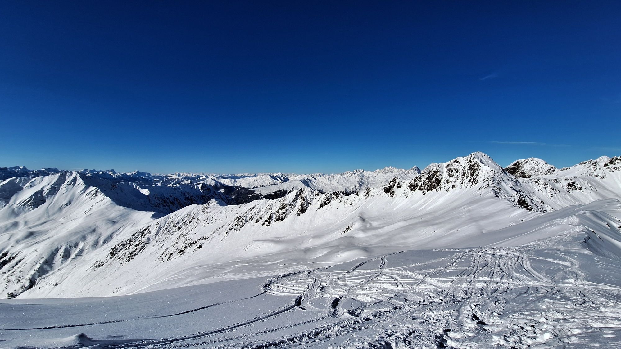
On the road to Innervillgraten the Kriezspitze, with its steep flanks, catches the eyes of ski tourers from quite a distance. It is probably one of the most popular tour destinations in Villgraten Tal...
Description
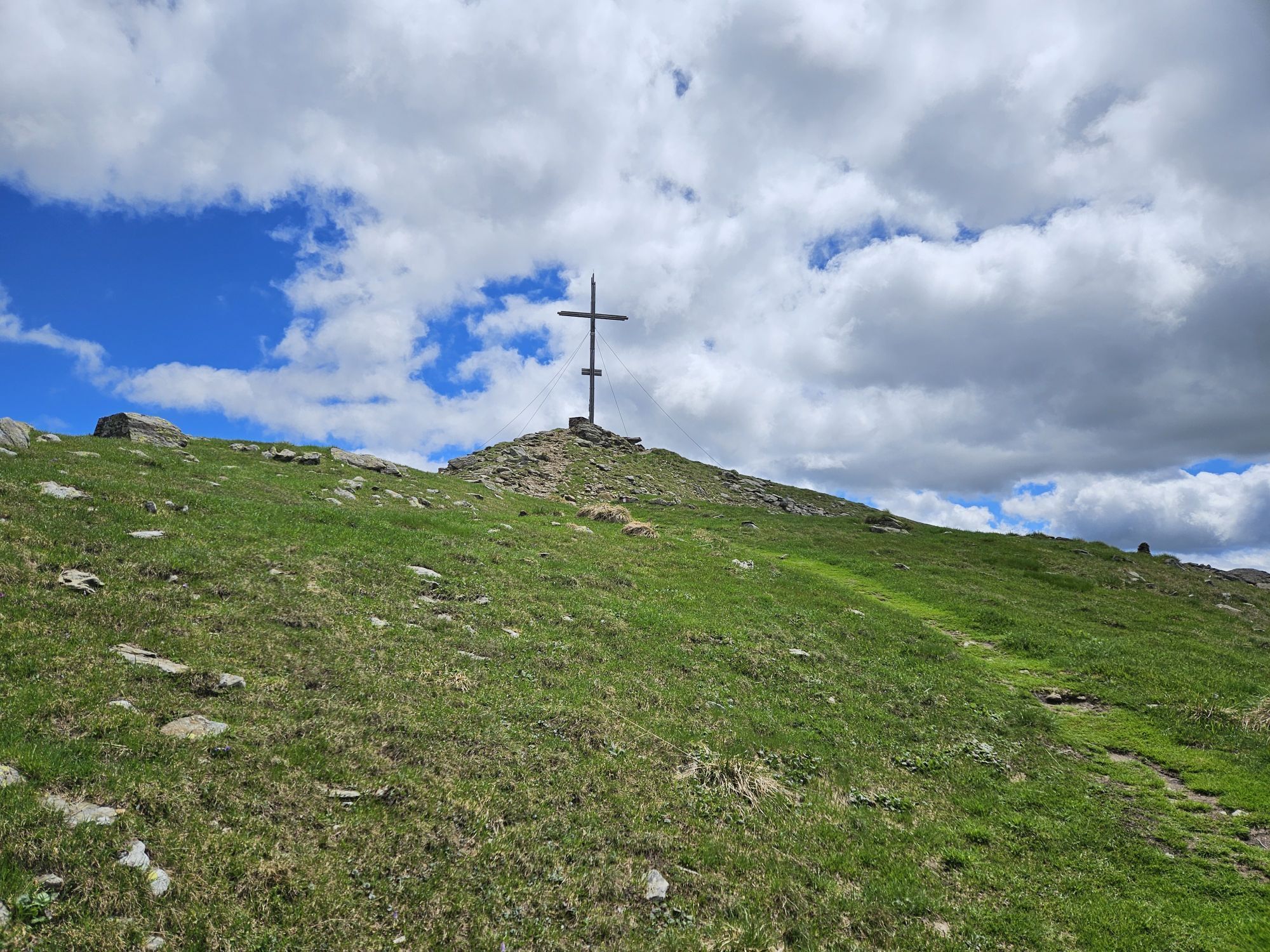
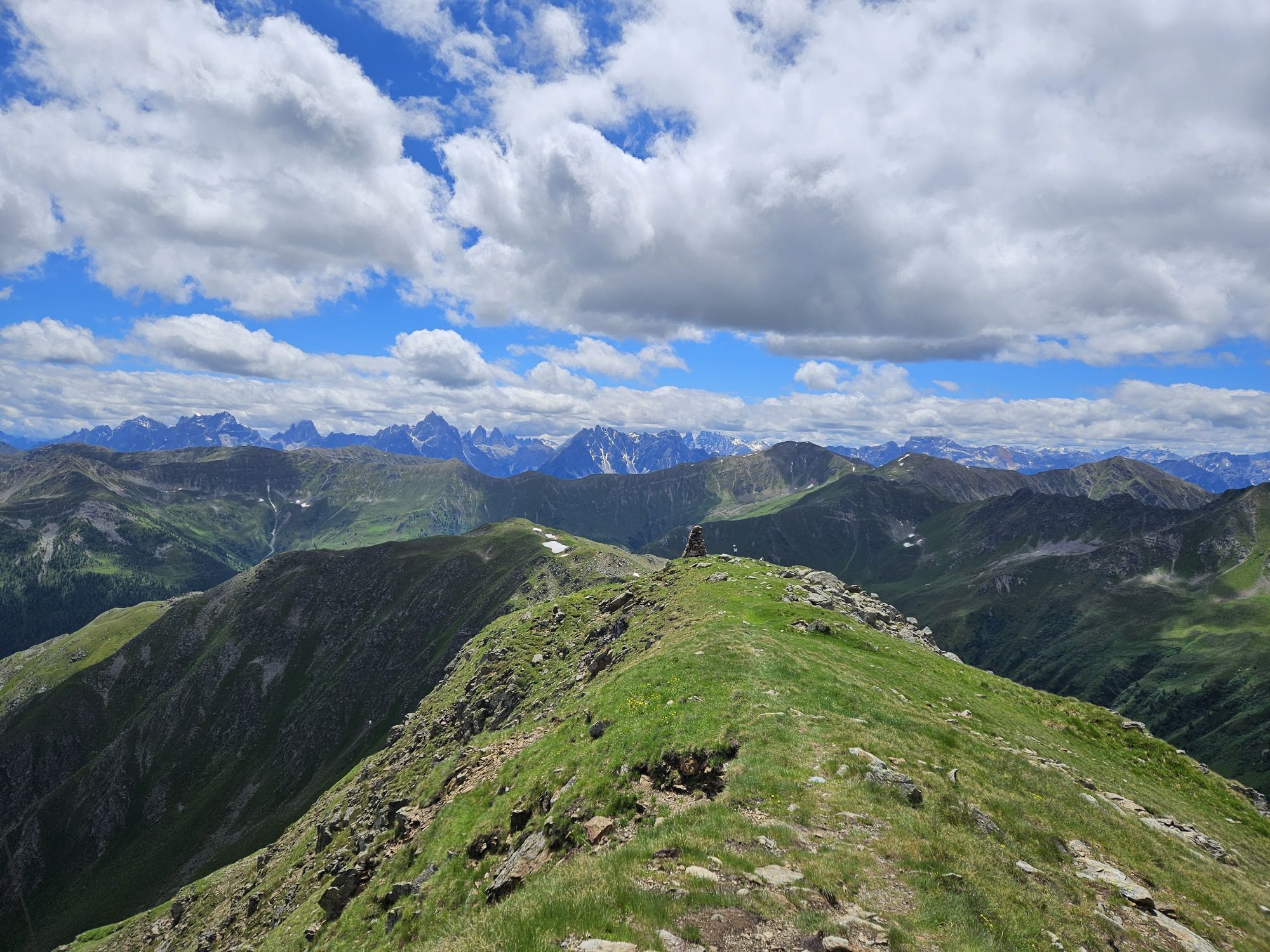
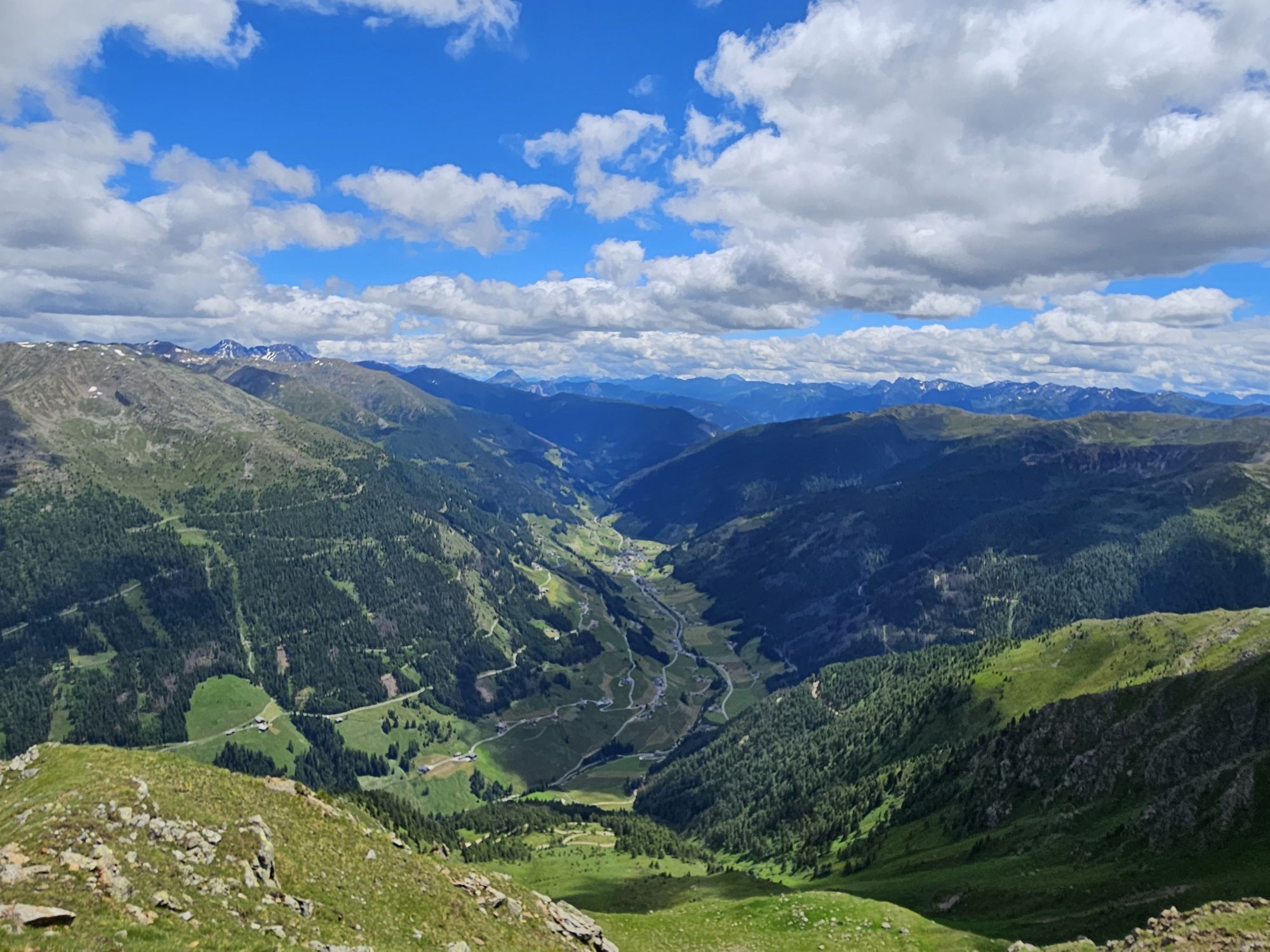
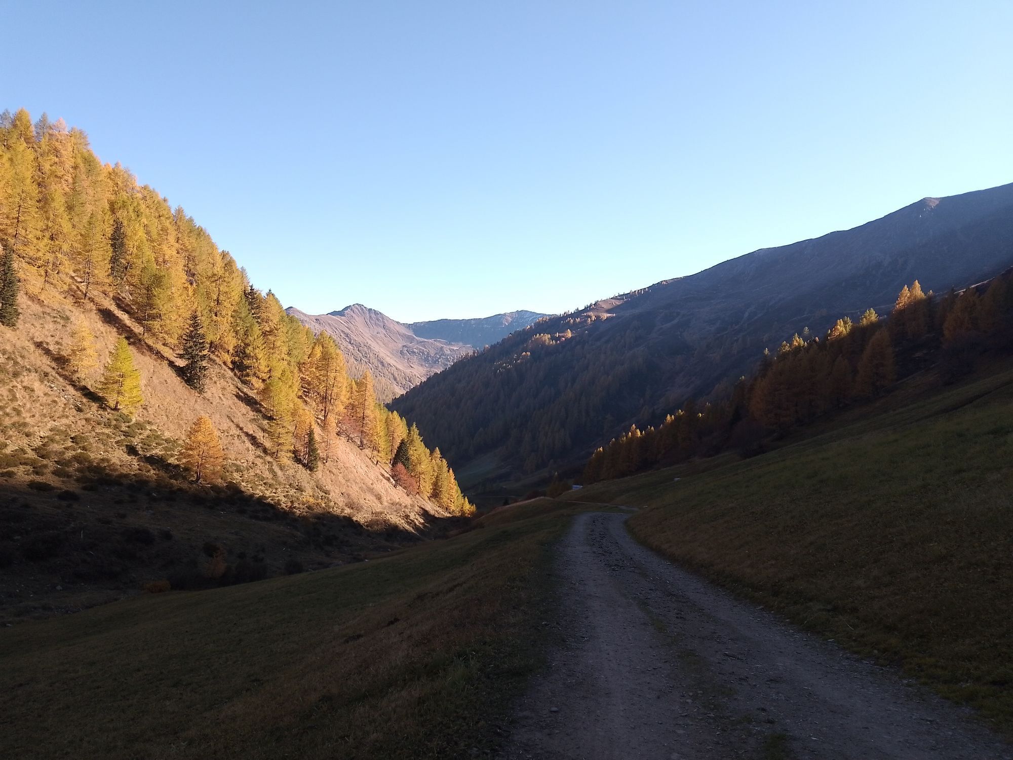
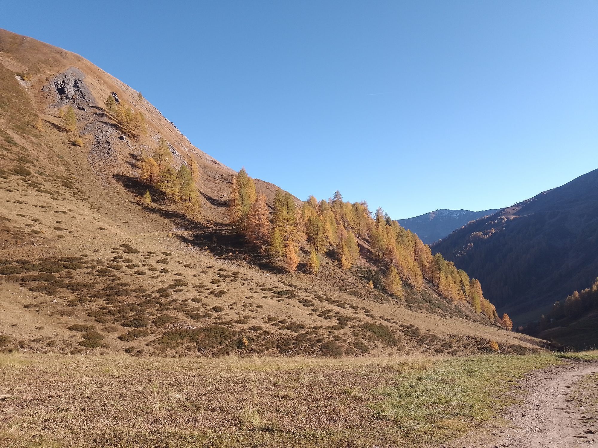
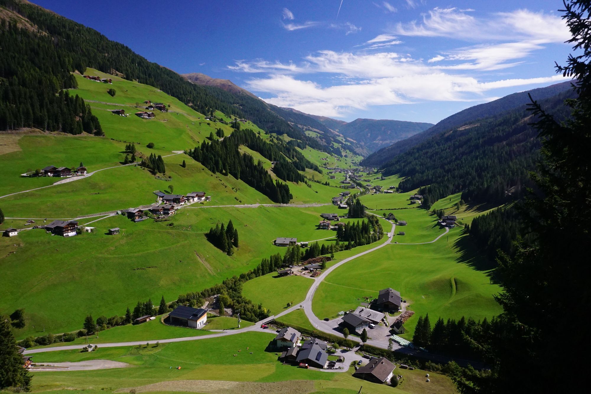
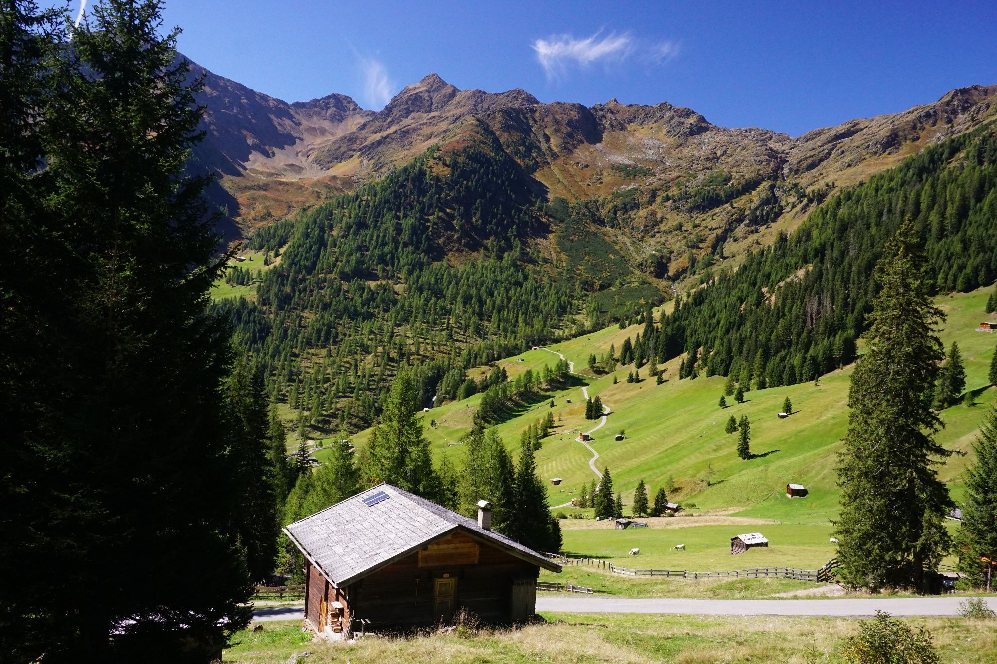
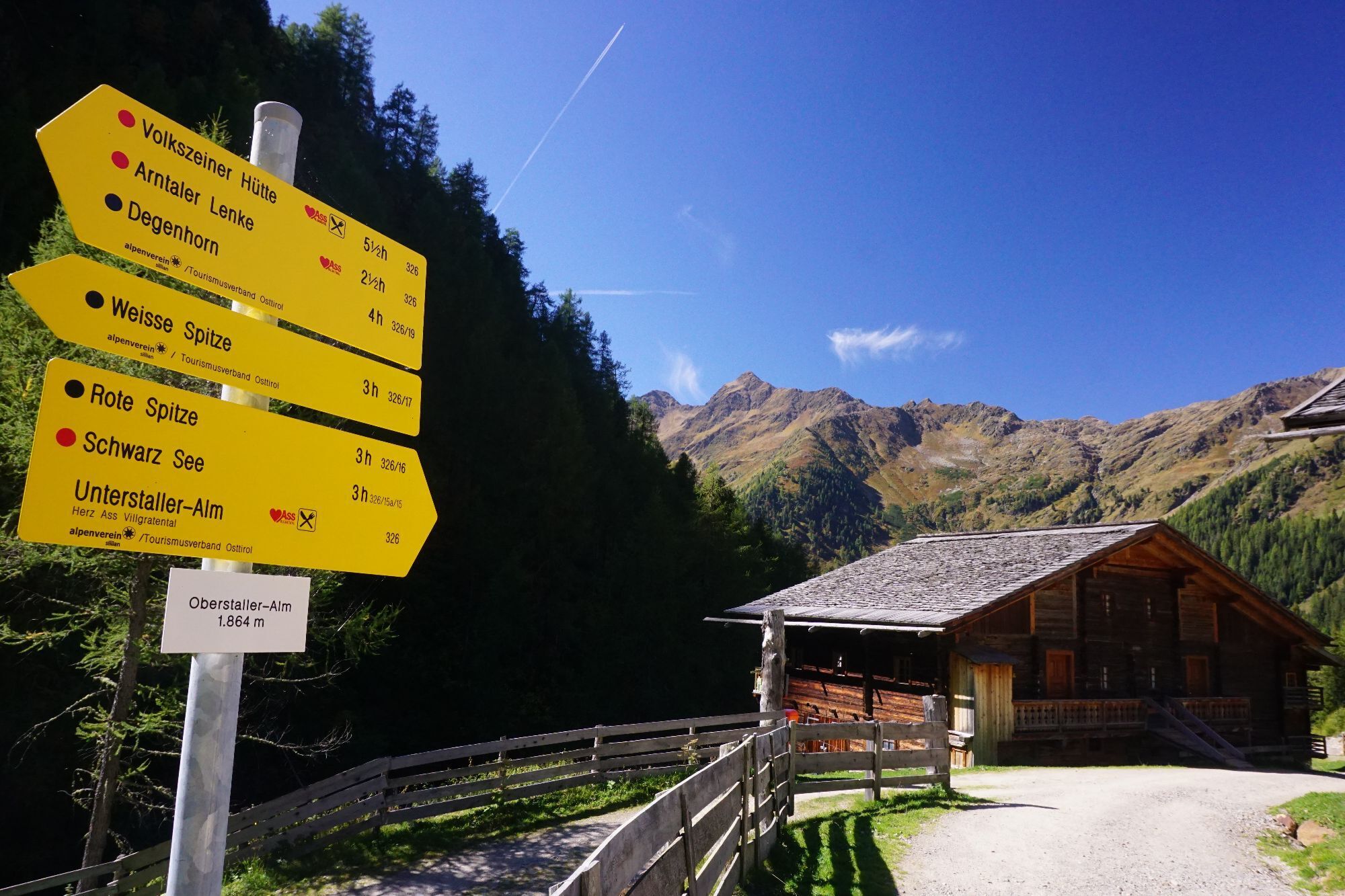
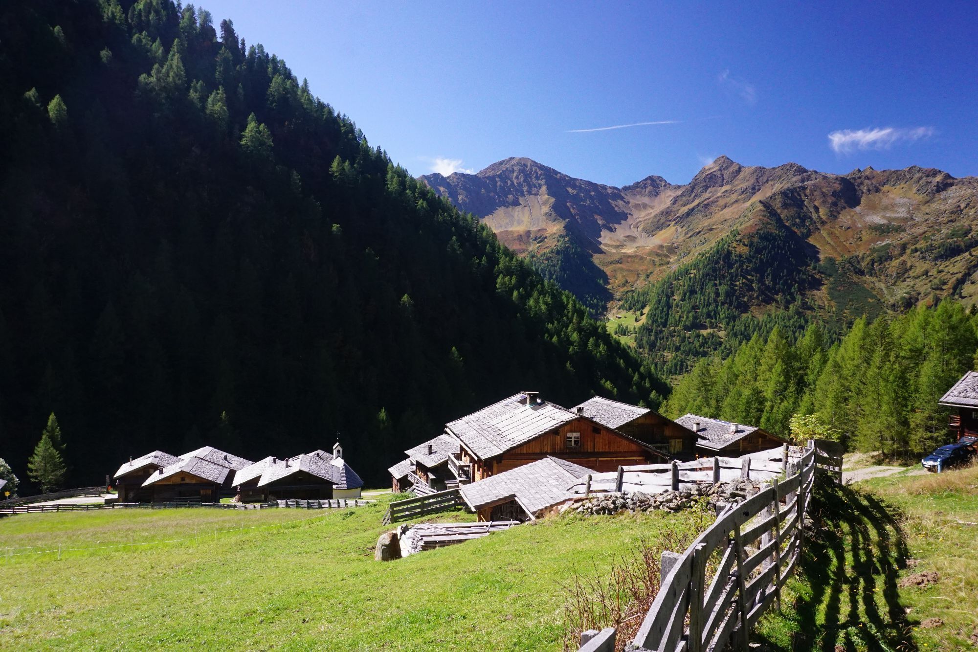
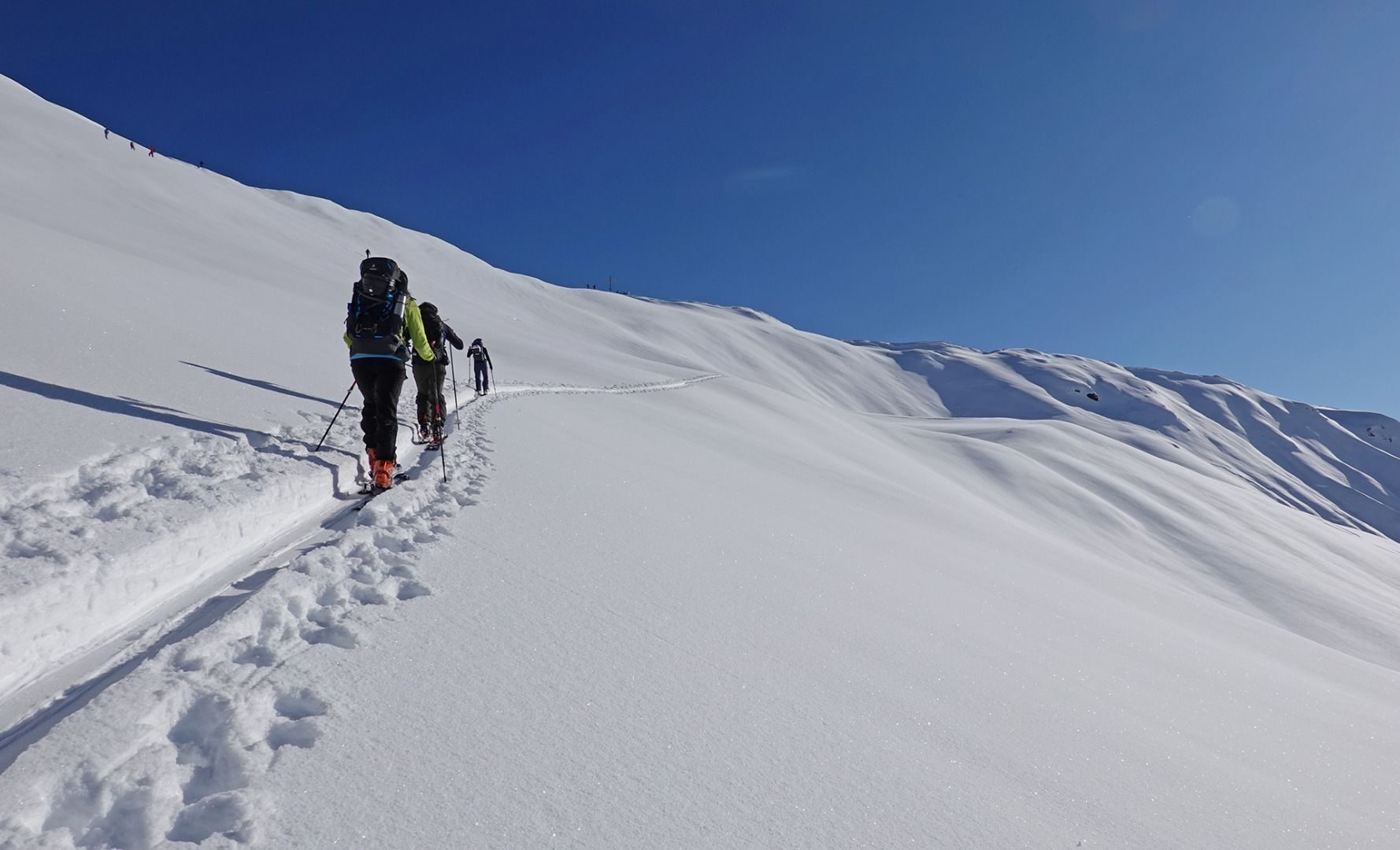
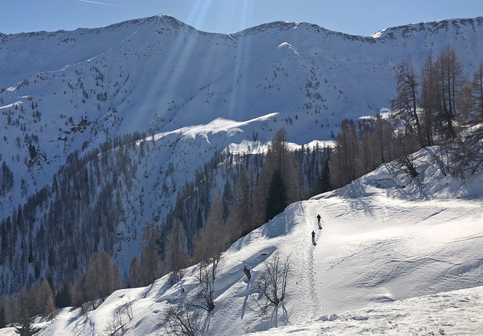
On the road to Innervillgraten the Kriezspitze, with its steep flanks, catches the eyes of ski tourers from quite a distance. It is probably one of the most popular tour destinations in Villgraten Tal and when conditions are appropriate can be tackled throughout the winter. Starting point is the little parish of Kalkstein (1640 m), around five kilometres after Innervillgraten. At the often heavily used car park you get an inkling even at the start that the seclusion of the mountains in this area is not far off. Initially we follow the trail through a larch forest, which branches off after five minutes. This is where you have to make your first decision. Straight into the valley lovelier, leisurely tour options open up with the Gaishörndl and the Toblacher Pfannhorn, while we bear right into Rosstal and head into the valley to Lipperalm. Having reached the head of the valley, with the Kalksteinjöchl, a popular crossing to South Tirol opens up, in earlier times busily frequented by smugglers, and which in the intervening period is nothing more than another tour option for summer and winter (pay attention to the signposts). Via the gentle gully and trough terrain we now climb slowly and after three hours get to the summit with its wooden cross, which can be seen from quite a distance. Ideally follow the descent a bit to the left of the ascent track via lovely gullies and troughs, where great snow conditions are often to be had.
Additional ski tour tips can be obtained in the ski tour guides by Thomas Mariacher. These are available here: http://www.grafikzloebl.at/verlag/buecher/
Parcours
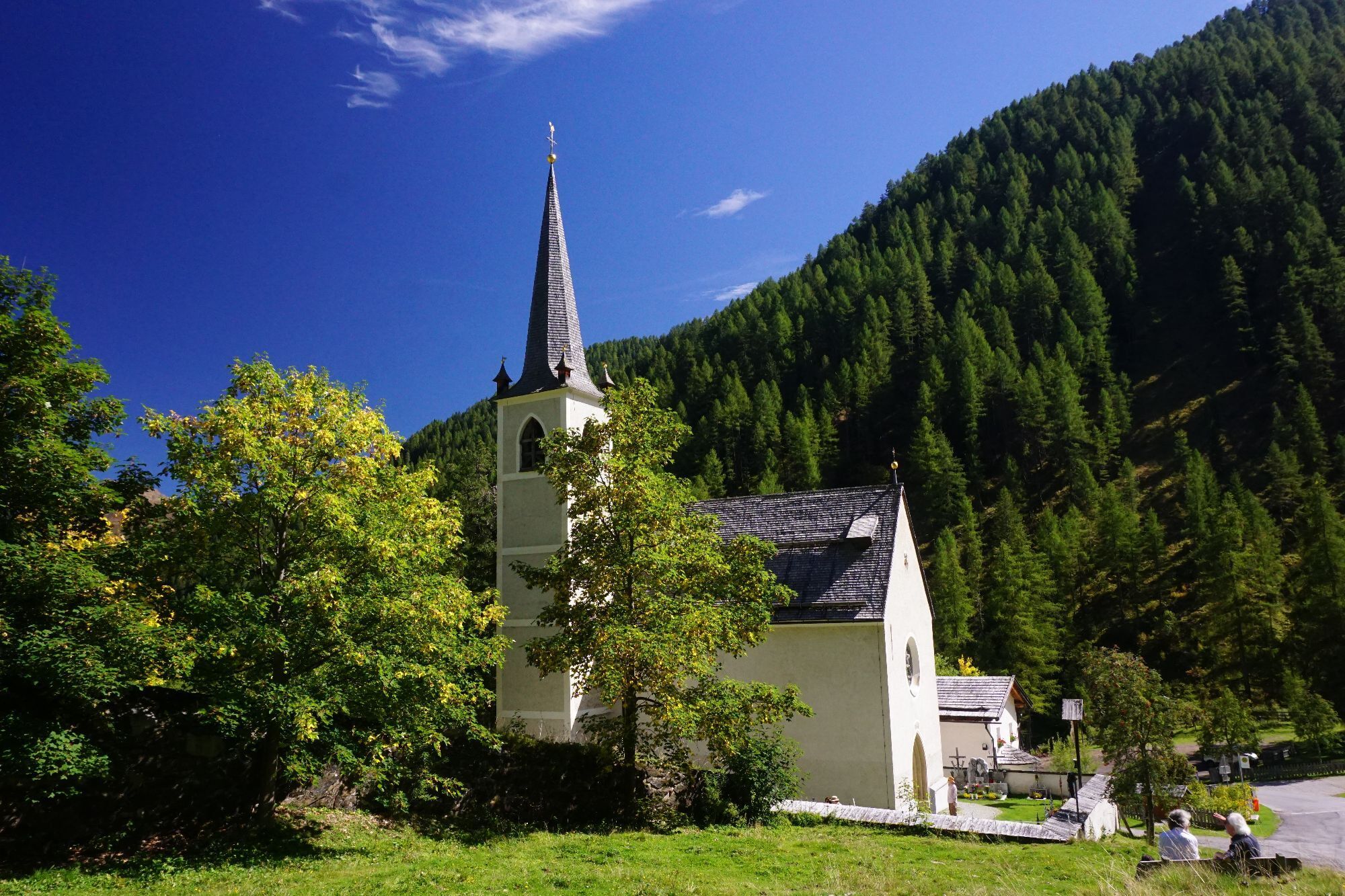
Maria Schnee
(1 637 m)
Lieu de culte
0,0 km
Alfenalm
(1 703 m)
Lotissement
0,2 km
Kreuzspitze
(2 624 m)
Sommet
5,3 km
Parcours
Kreuzspitze
facile
Ski de randonnée
5,33
km
Kalkstein
(1 630 m)
Lotissement
0,0 km
Maria Schnee
(1 637 m)
Lieu de culte
0,0 km
Alfenalm
(1 703 m)
Lotissement
0,2 km
Kreuzspitze
(2 624 m)
Sommet
5,3 km
Dernier suivi
il y a 6 jours
Informations sur l'itinéraire
Itinéraire
Mit dem Auto bis zum Weiler Kalkstein
Transports en commun
Mit dem Bus bis zu Haltestelle "Innervillgraten Kalkstein"
Parking
Parkplatz bei der Bad'l Alm
Évaluations
1 Commentaire
Heiner Temming
22. août. 2025
Kalkstein-Kreuzspitze
Der Weg bis zum Talschluss über den geschotterten Wirtschaftsweg ist ein wenig eintönig, es zieht sich, aber am Ziel ist alles vergessen! Die tolle Aussicht entschädigt die Strapazen.
Webcams de la tournée
Activités le long du parcours


Parcours populaires à proximité
-
4,8
Antholzer See - Steinzger Alm
moyenRandonnée 7,48 km -
4,8
Seerunde
facileRandonnée 2,66 km -
4,7
Rund um den Antholzer See
facileRandonnée 4,27 km -
4,6
Rote Wand
moyenRandonnée d'altitude 12,0 km -
4,8
Von Kalkstein auf das Toblacher Pfannhorn (2.663 m) und Marchkinkele
moyenRandonnée 14,2 km -
4,8
Sillianer Hütte 2.447 m
moyenRandonnée 16,8 km -
4,3
Seespitze
moyenRandonnée 13,7 km -
3,9
Helm und Sillianer Hütte
facileRandonnée 8,17 km -
5,0
Trojertal, Hintere Trojeralm
facileRandonnée 8,97 km -
4,0
Heimkehrer Kreuz - Hornischegg - Sillianer Hütte
moyenRandonnée 9,43 km
Randonnée et suivi

Plus de 550.000 propositions de circuits, des cartes détaillées et un planificateur d'itinéraire intuitif font de cette application un must pour tous les passionnés de nature.

Ne manquez pas les offres et l'inspiration pour vos prochaines vacances
S'inscrire à la newsletter
Erreur
Une erreur s'est produite. Veuillez réessayer.
Merci pour votre inscription
Votre adresse électronique a été ajouté à la liste de diffusion.
Parcours en Europe
Autriche
Suisse
Allemagne
Italie
Slovénie
France
Pays-Bas
Belgique
Pologne
Liechtenstein
République tchèque
Slovaquie
Espagne
Croatie
Bosnie-Herzégovine
Luxembourg
Andorre
Portugal
Islande
Royaume-Uni
Irlande
Grèce
Albanie
Macédoine du Nord
Malte
Norvège
Monténégro
Moldavie
Kosovo
Hongrie
Saint-Marin
Roumanie
Estonie
Lettonie
Bélarus
Chypre
Lituanie
Serbie
Bulgarie
Monaco
Danemark
Suède
Finlande