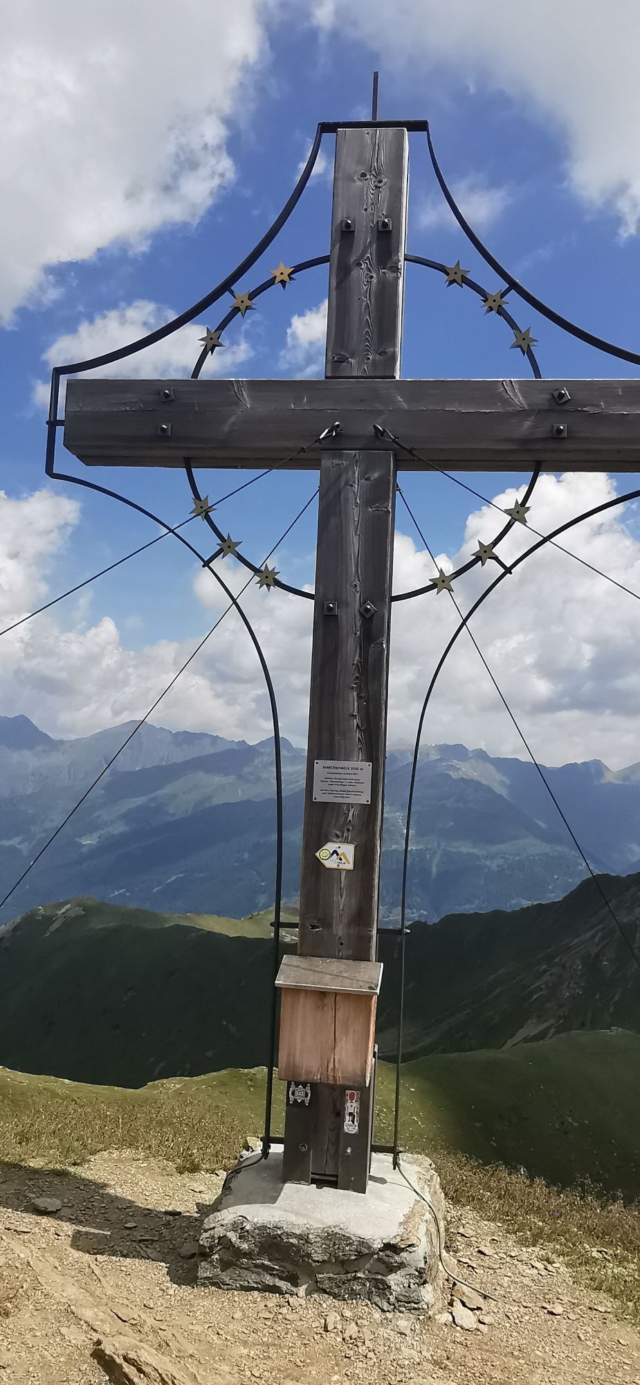
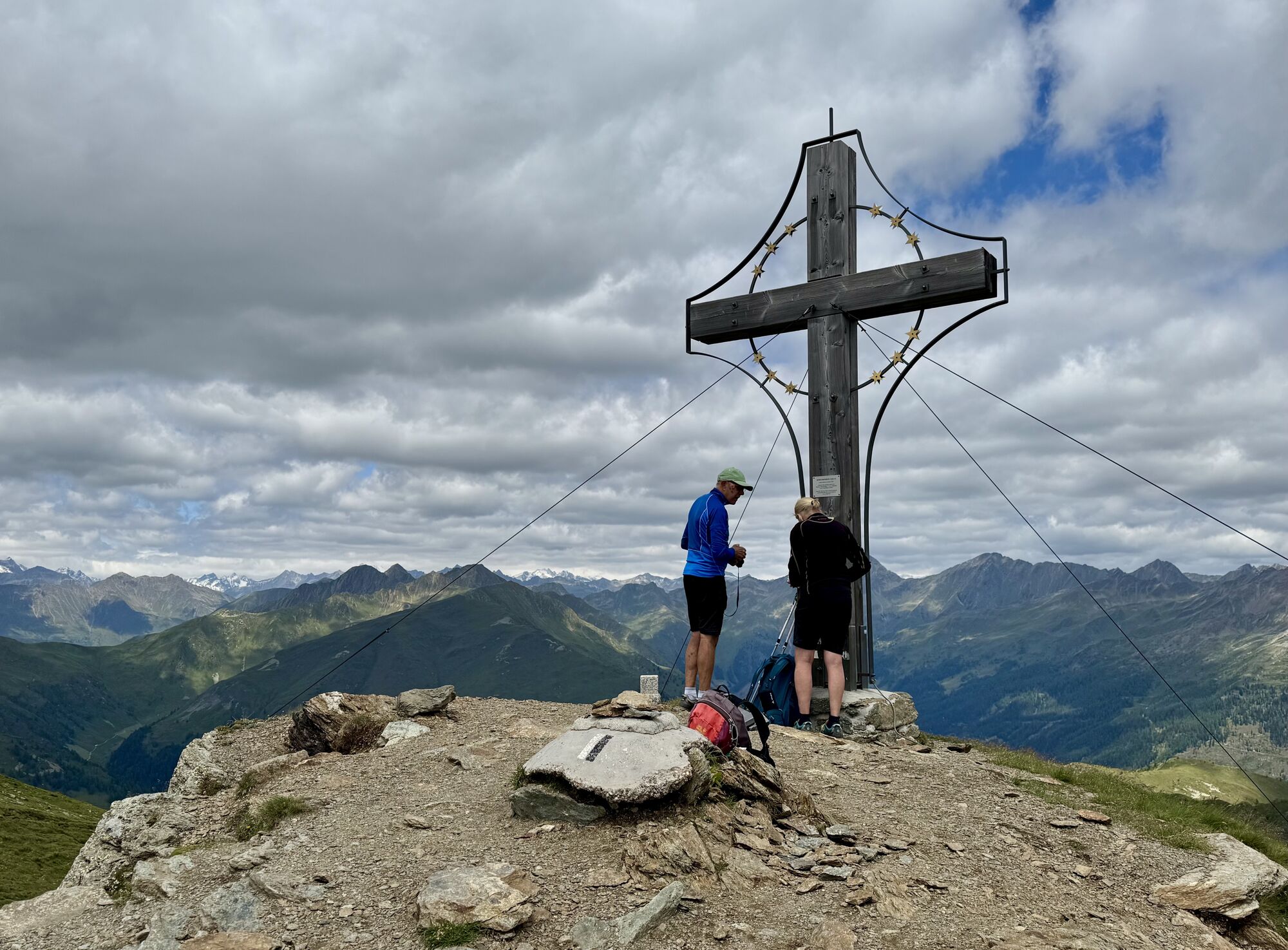
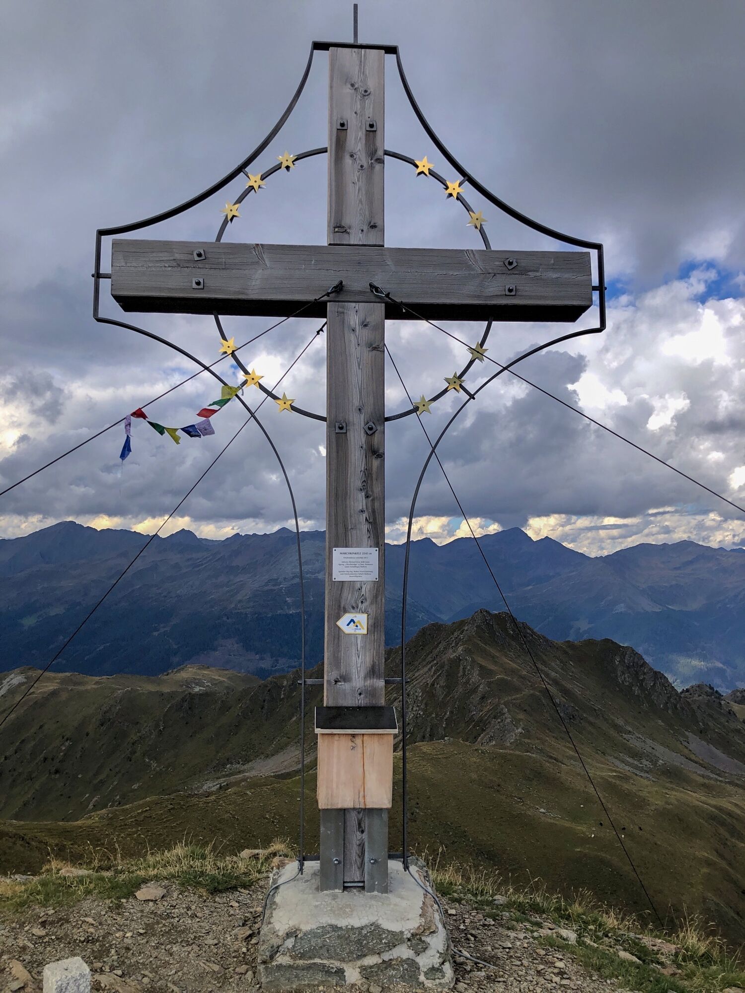
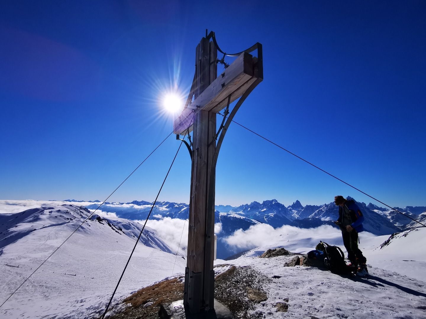
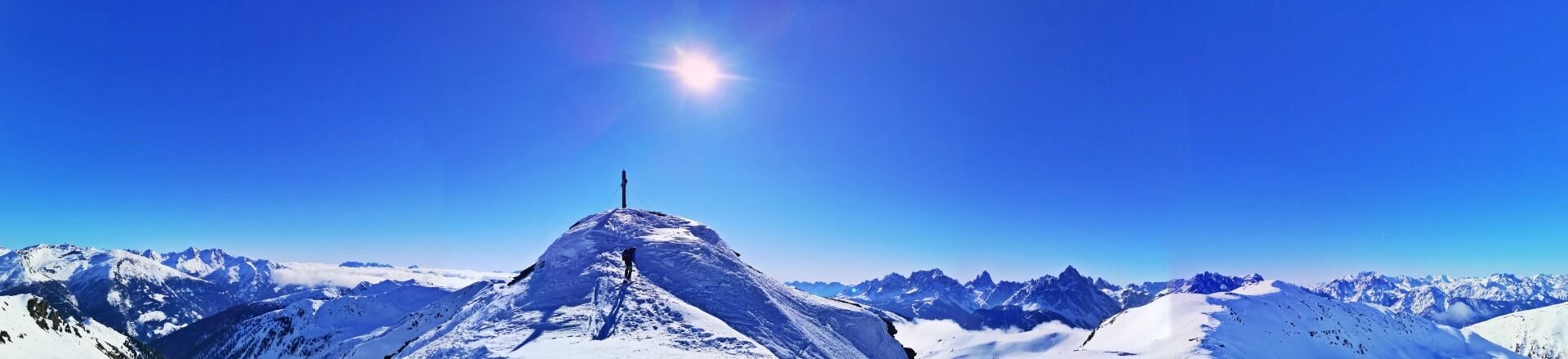
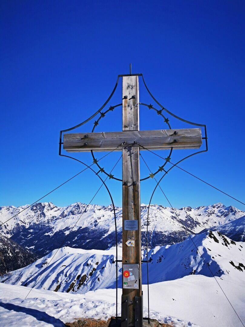
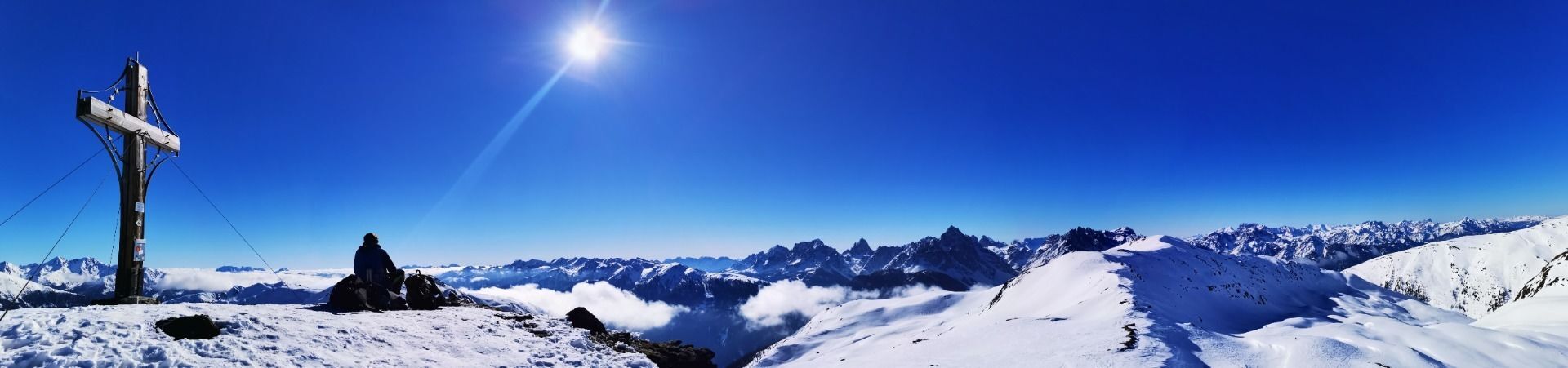
Marchkinkele
difficile
Télécharge cette visite sur ton portable
Marchkinkele
difficile
Ski de randonnée
3,90
km
Scanner le code QR et commencer la navigation dans l'application bergfex

Randonnée & tracking


Marchkinkele
difficile
Distance
3,90
km
Durée
03:00
h
Ascension
852
m
Altitude
1 692 -
2 530
m
Téléchargement de la piste
Marchkinkele
difficile
Ski de randonnée
3,90
km

The Marchkinkele has a few more climbs than other tours, yet like the Gruberspitze, is one of the steeper ski tours around Kalkstein, which is why both mountains should only be tackled when conditions...
Description
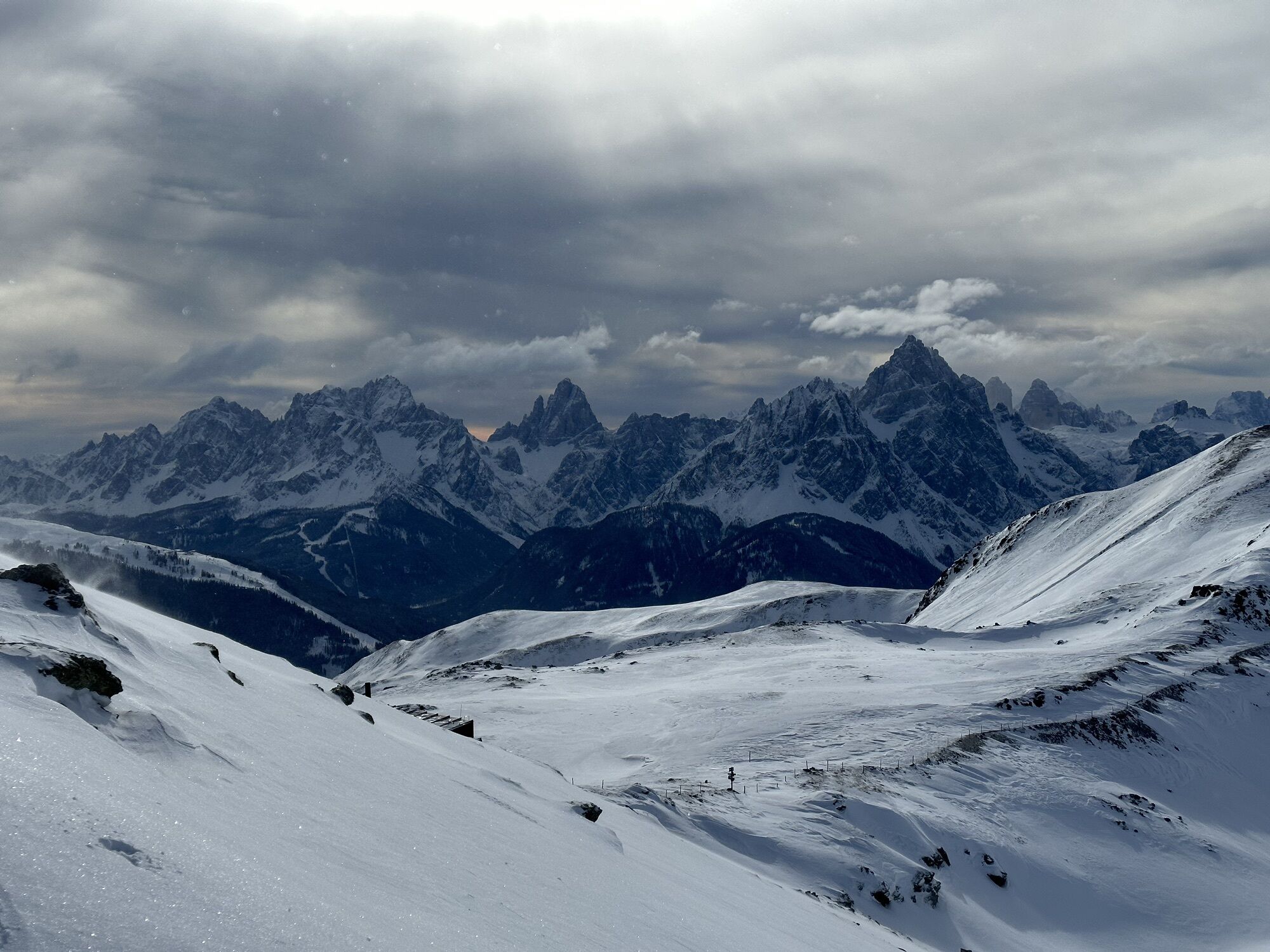
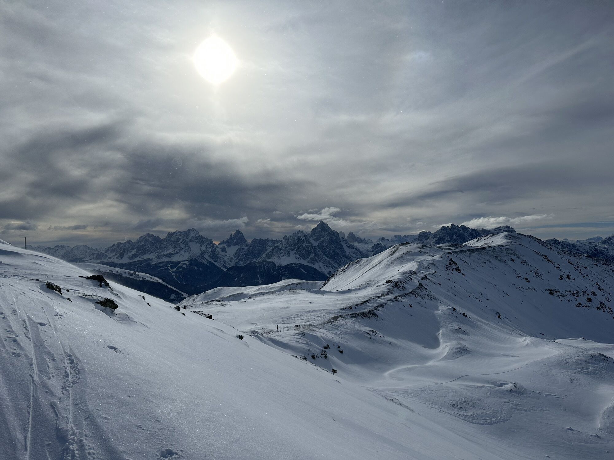
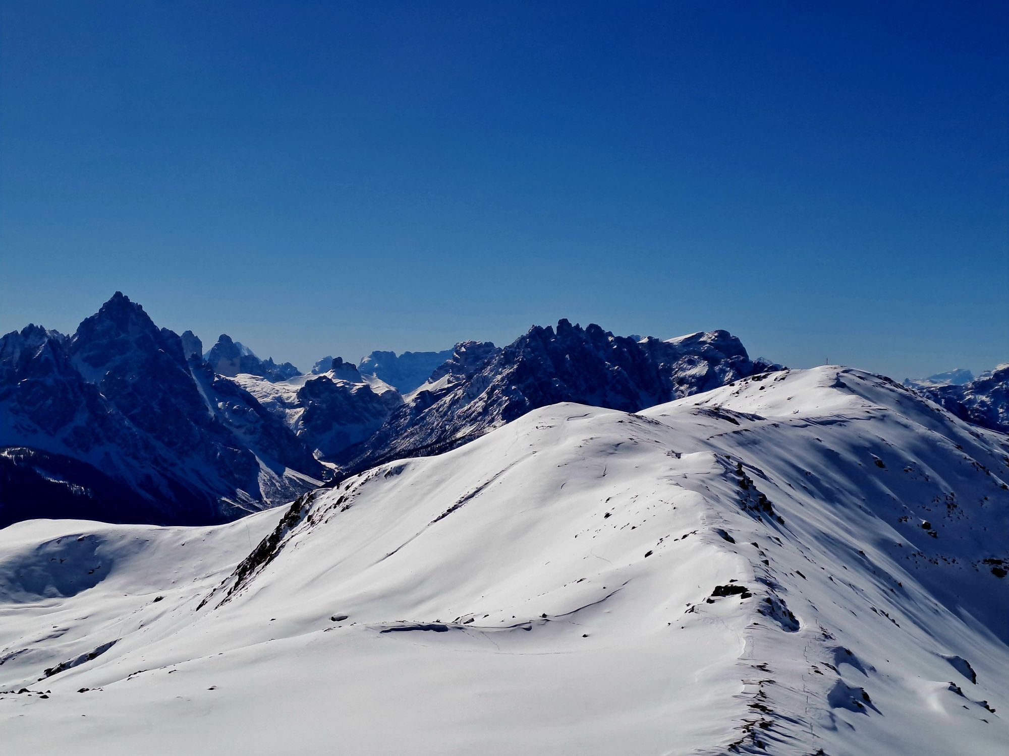
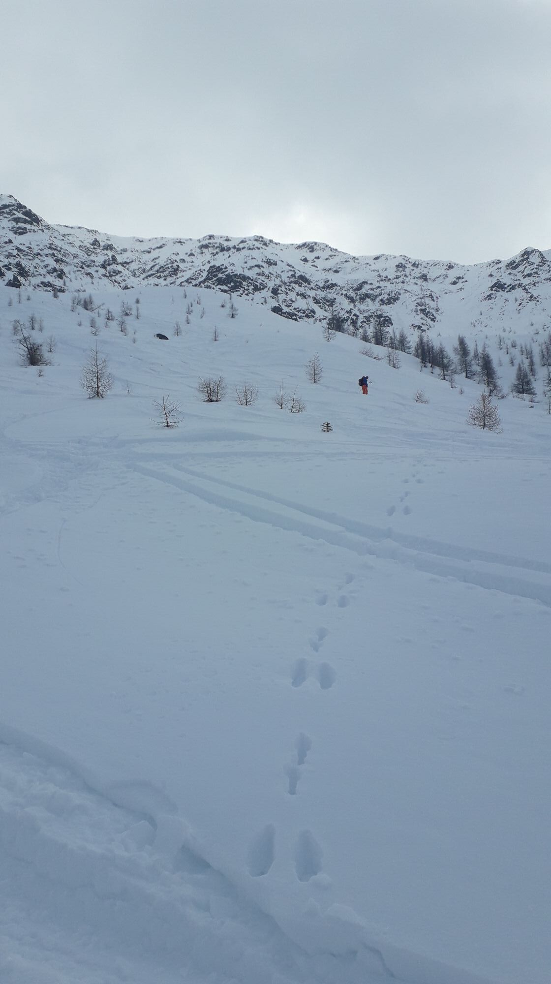
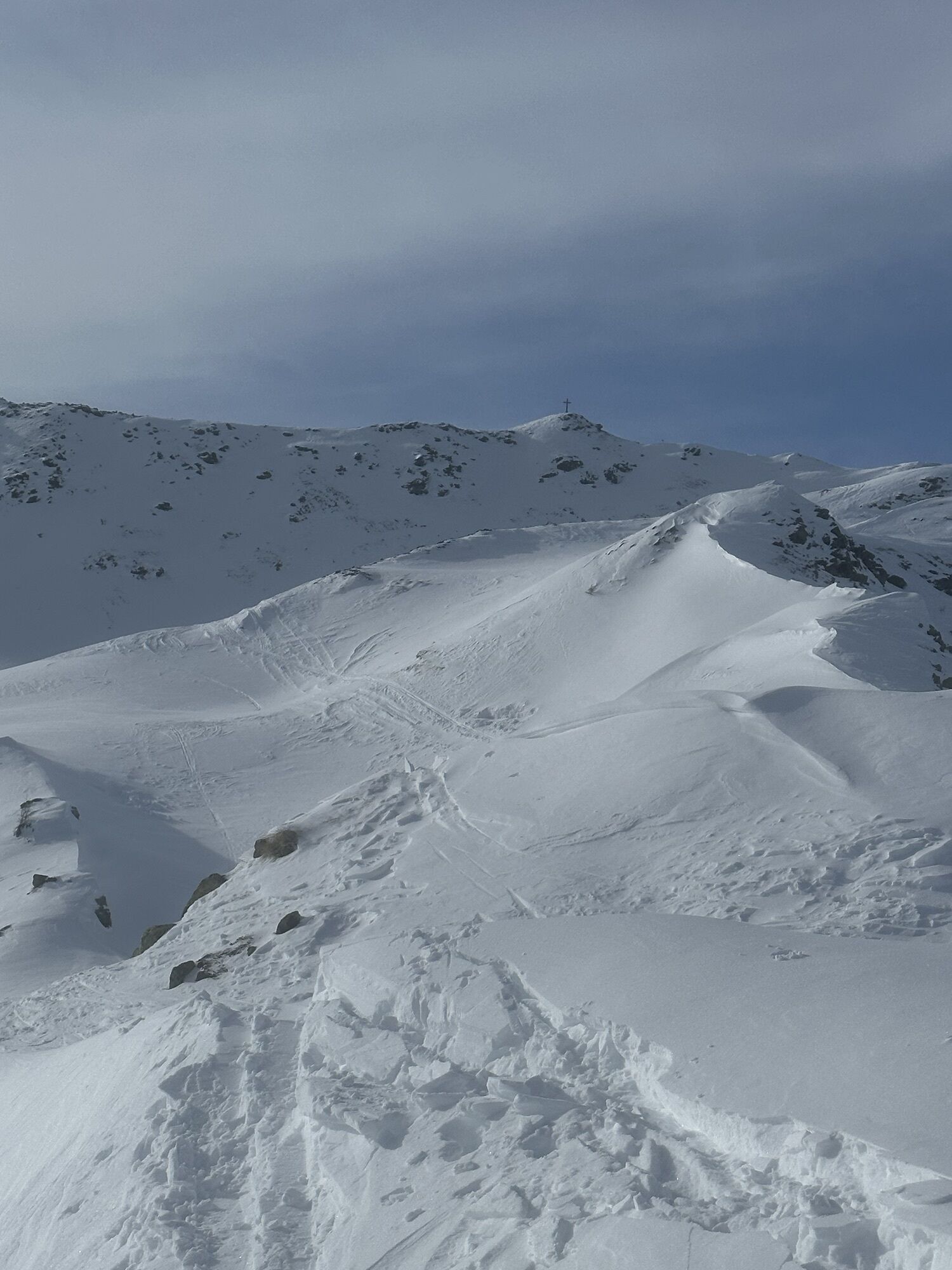
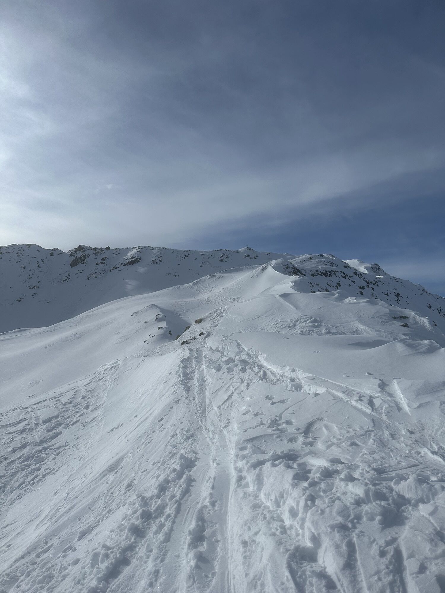
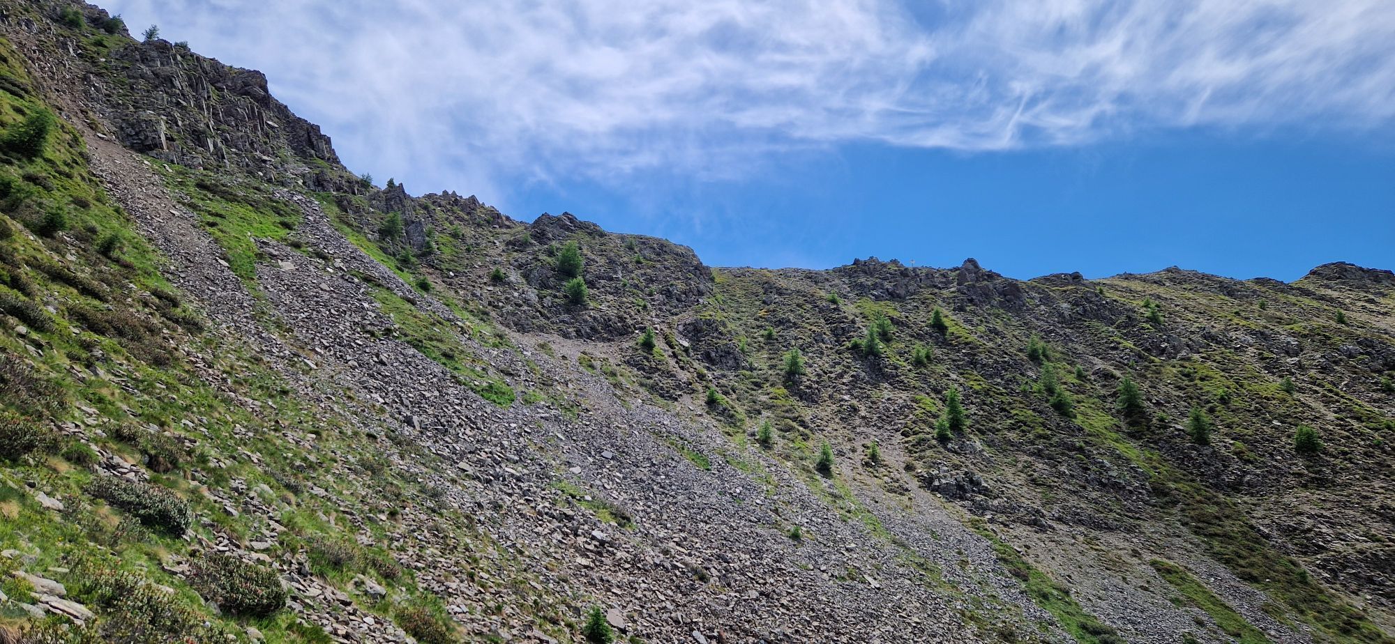
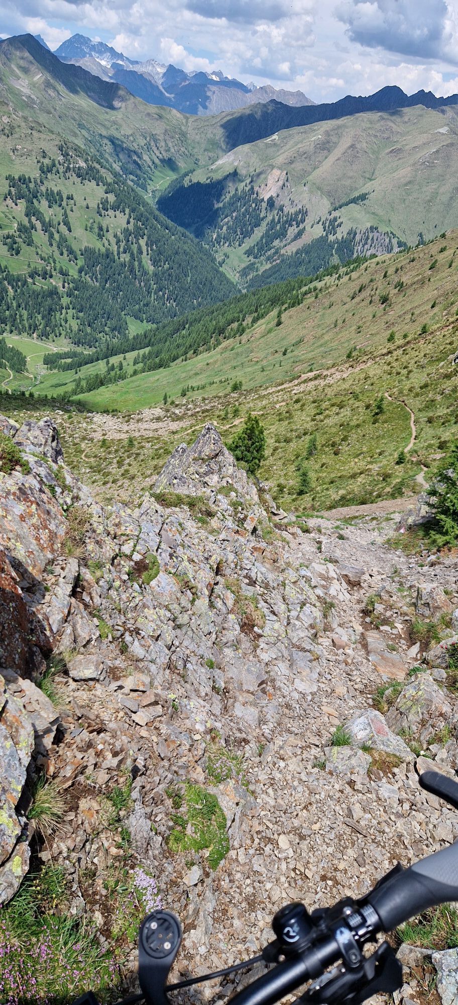
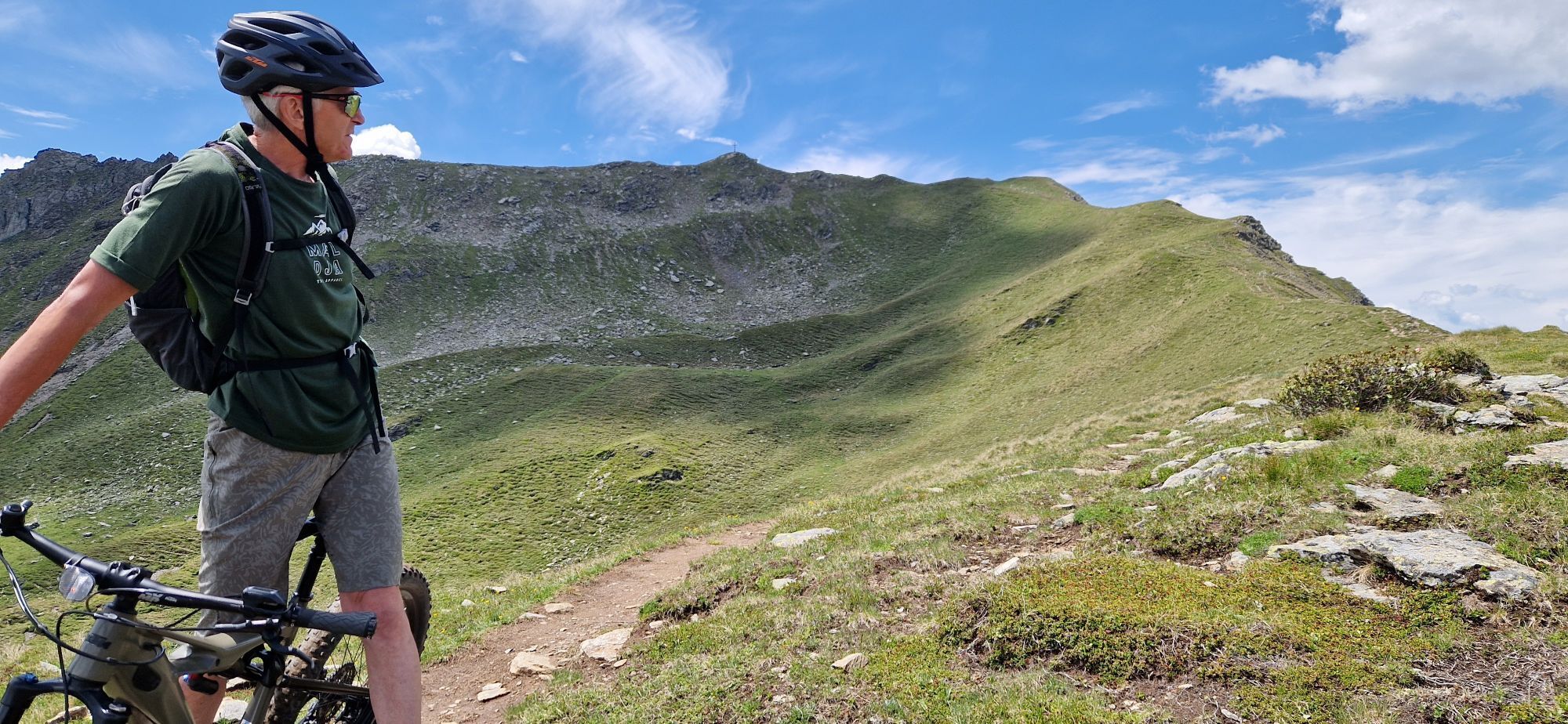
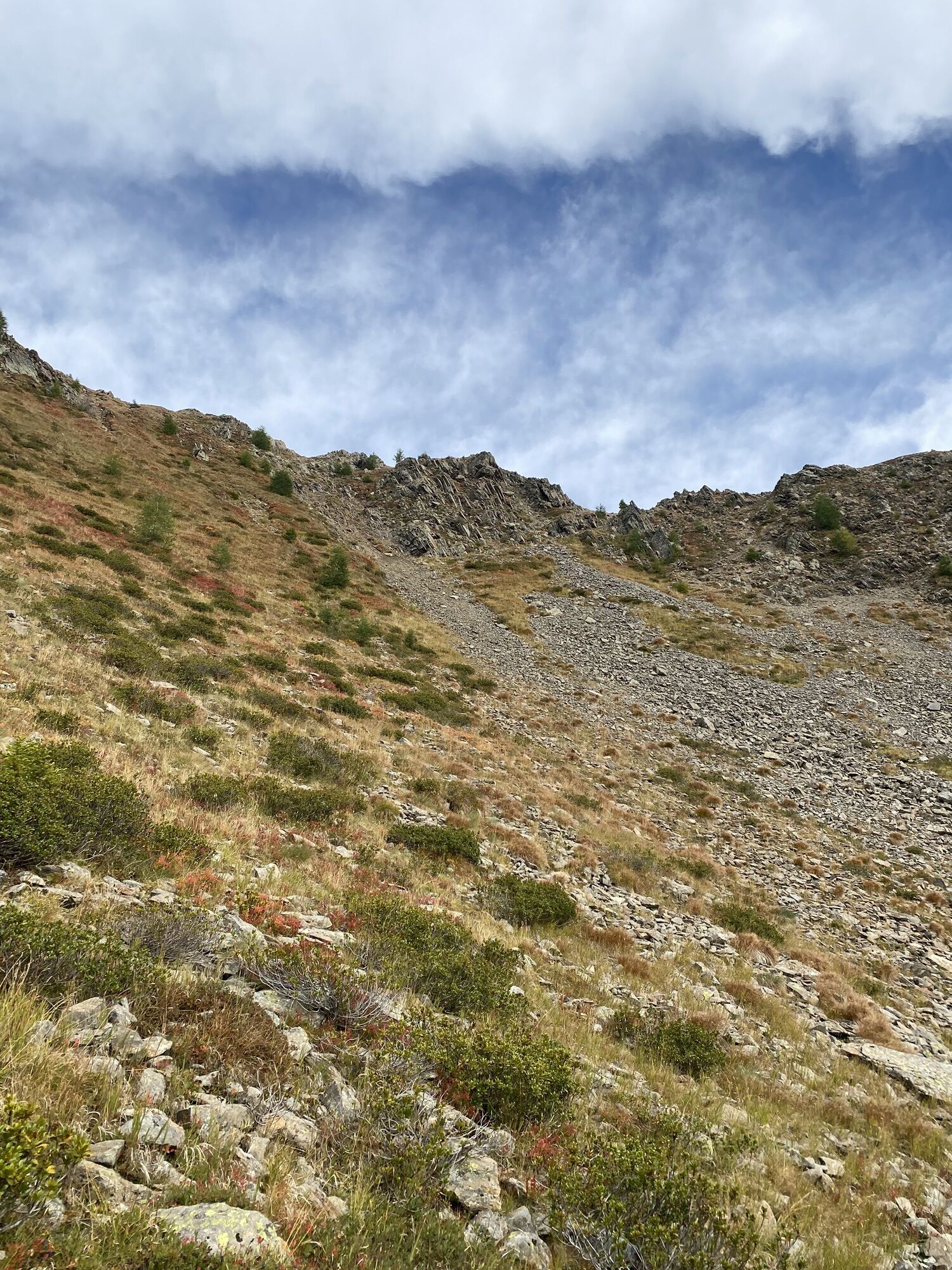
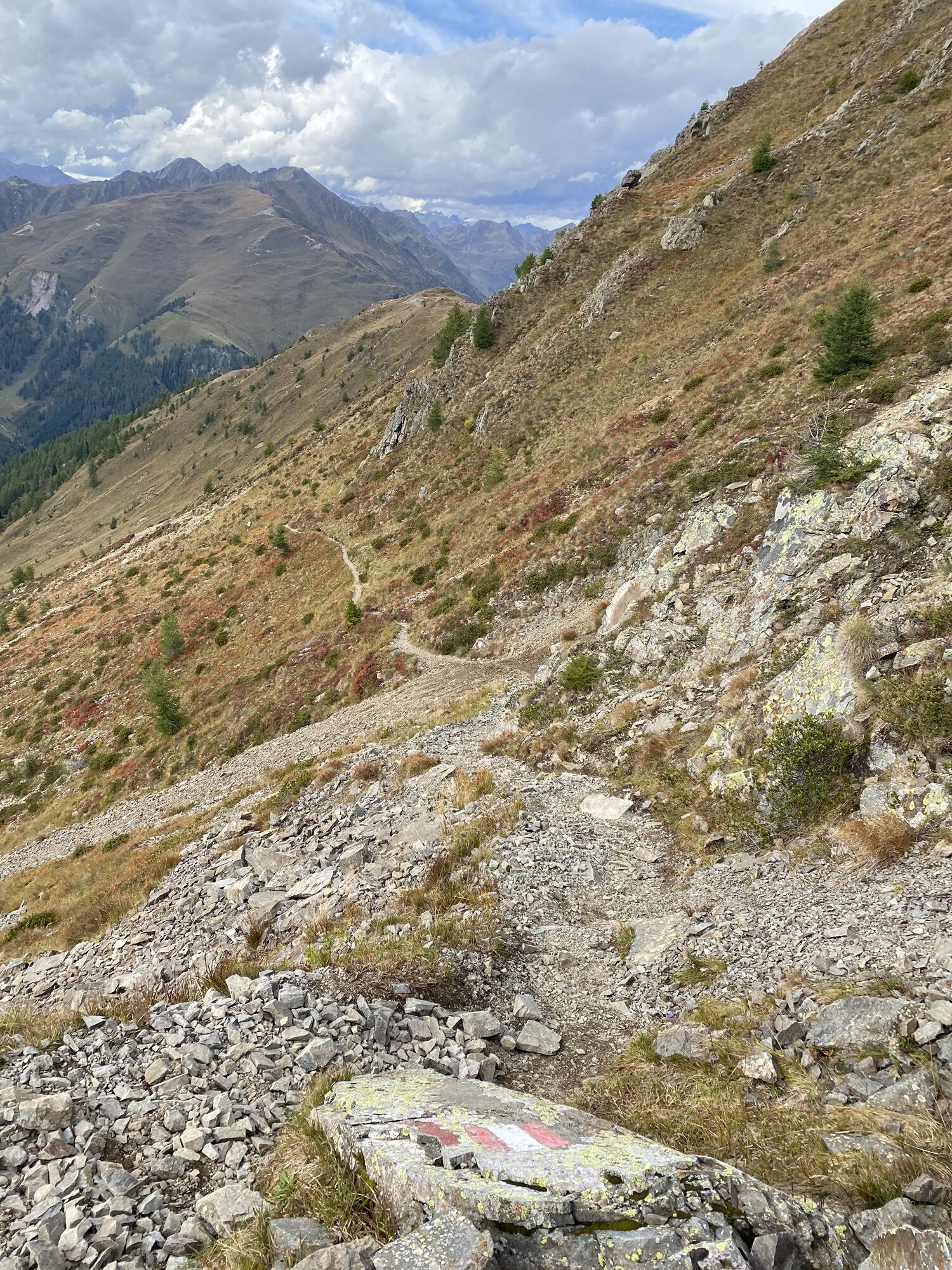
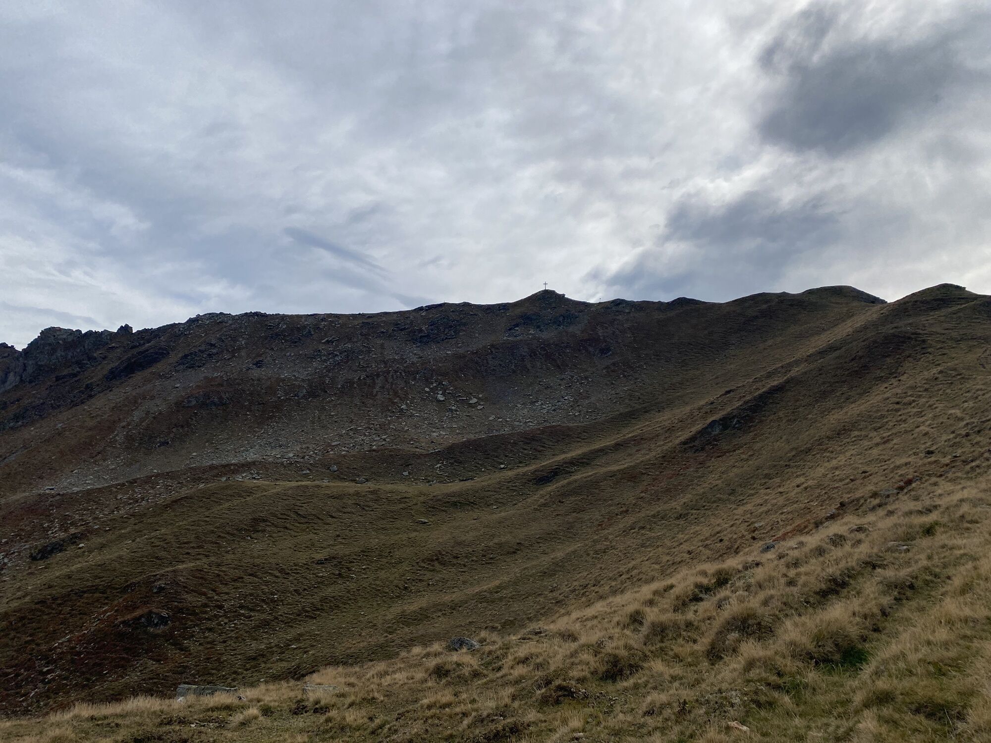
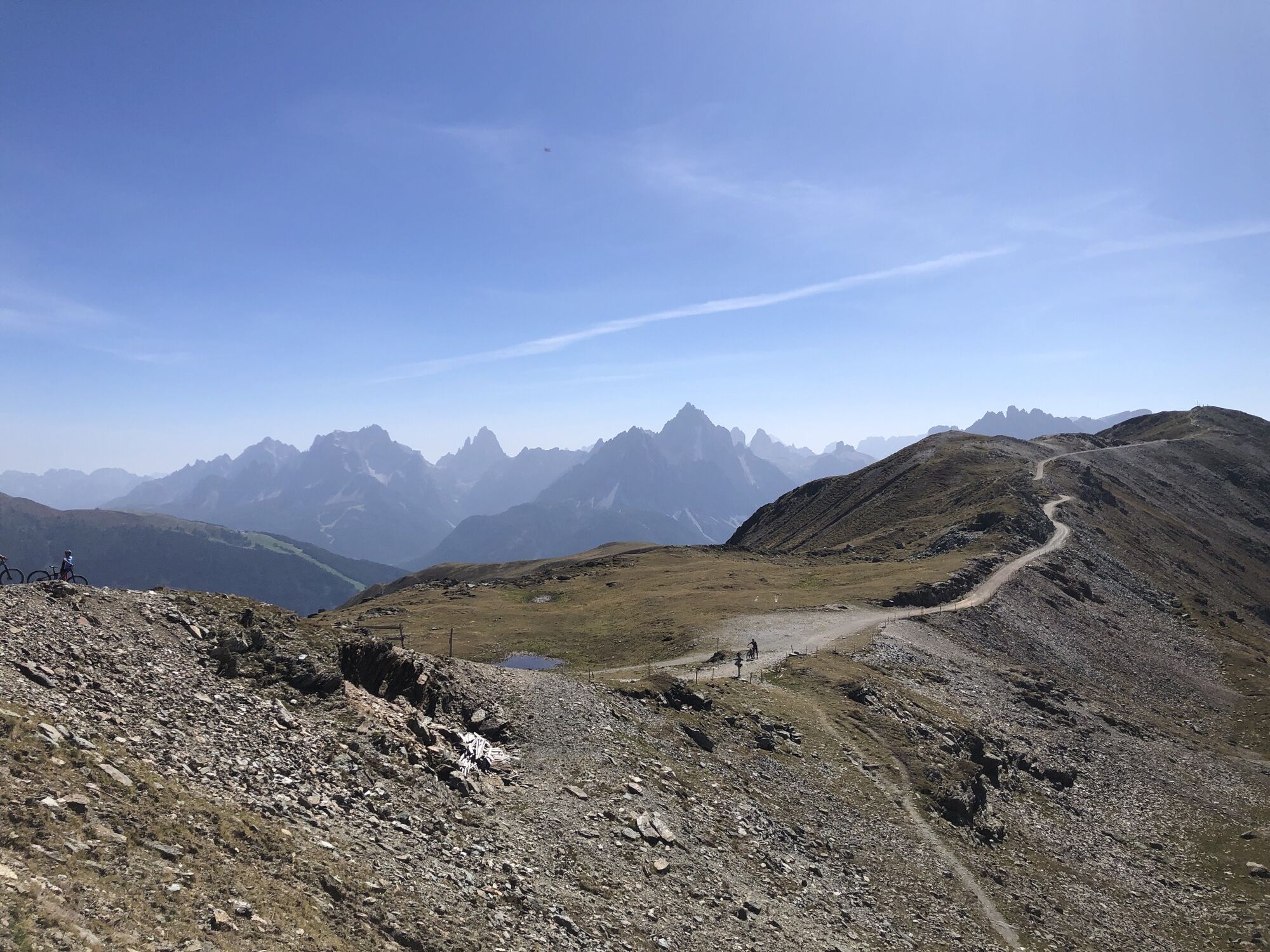
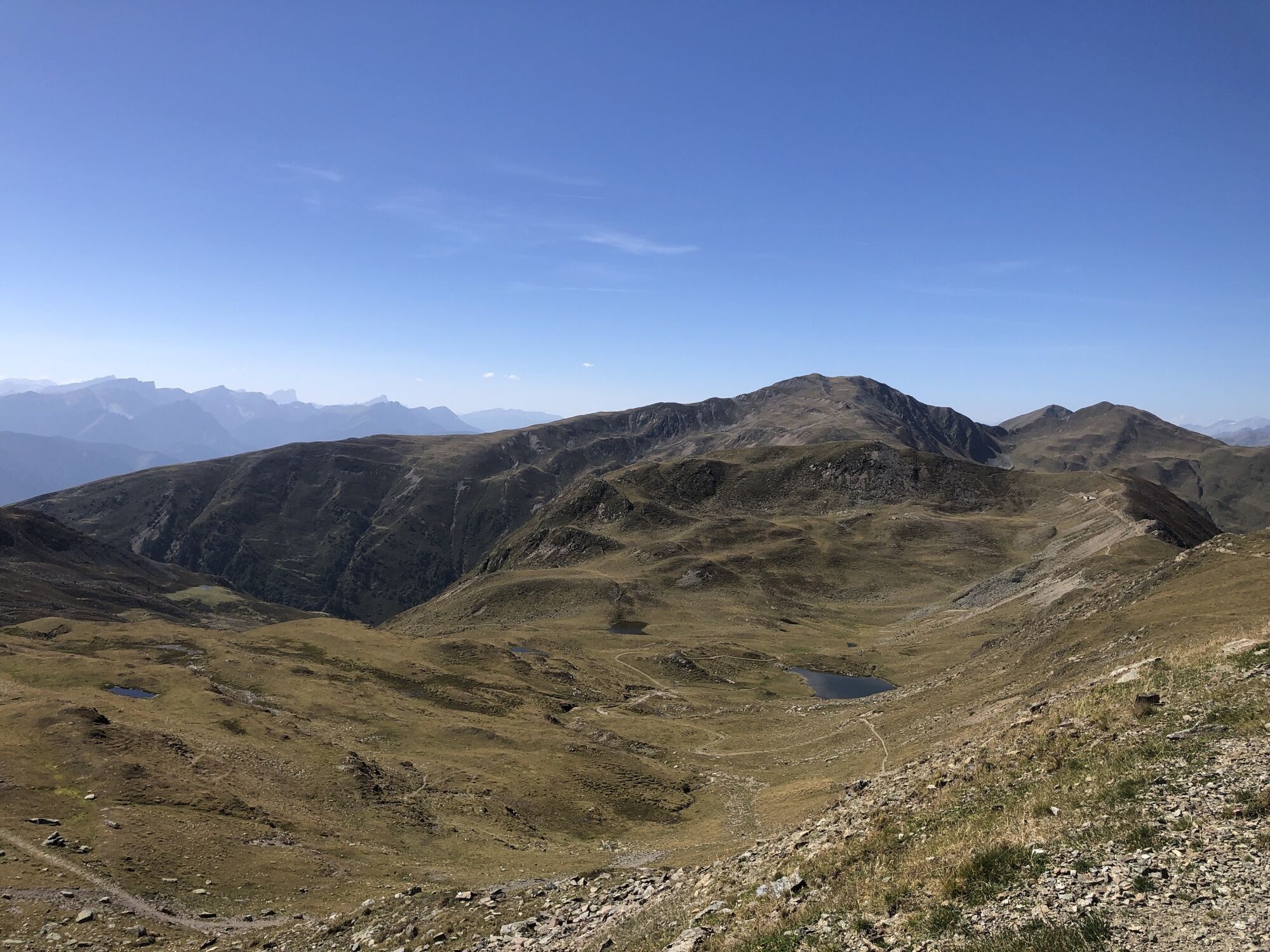
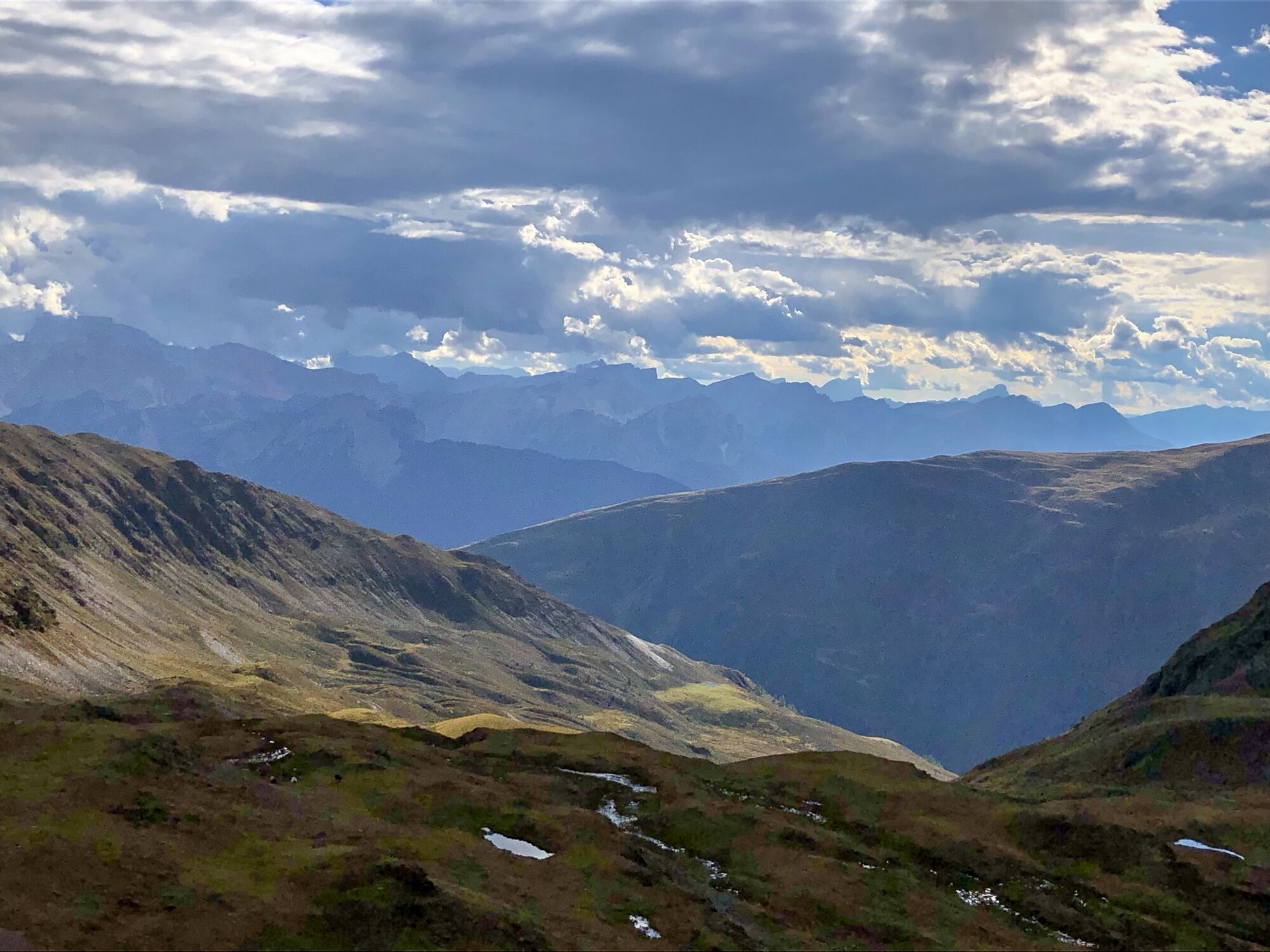
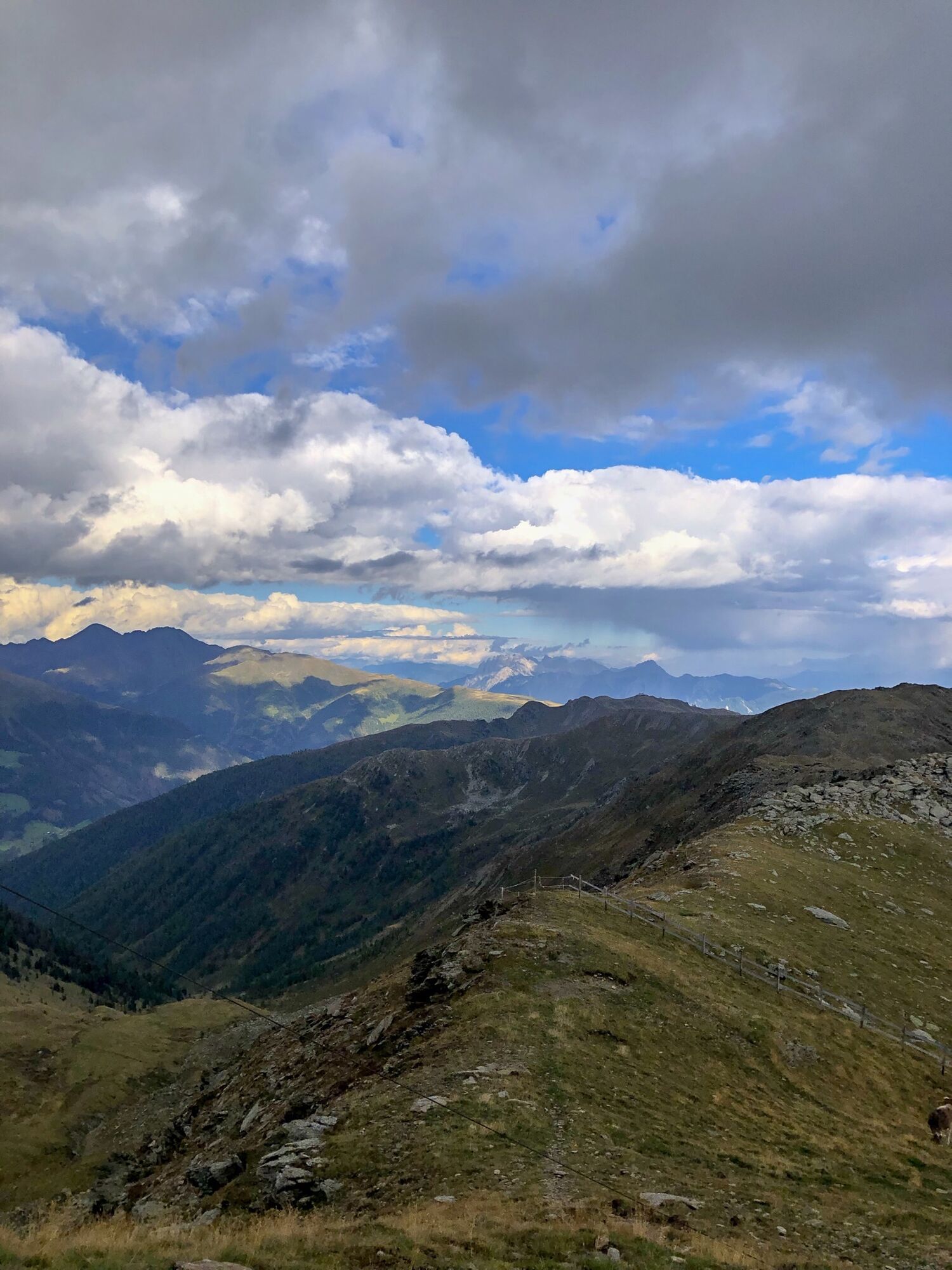
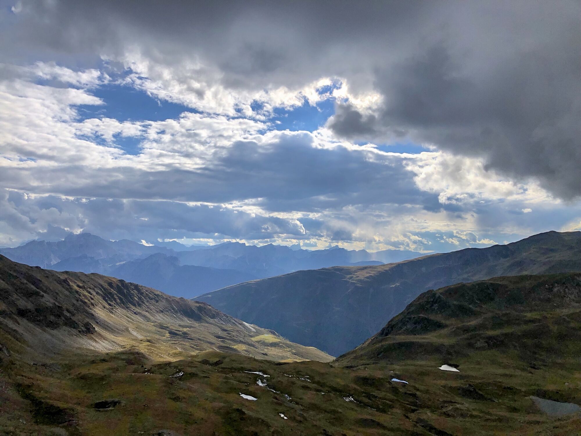
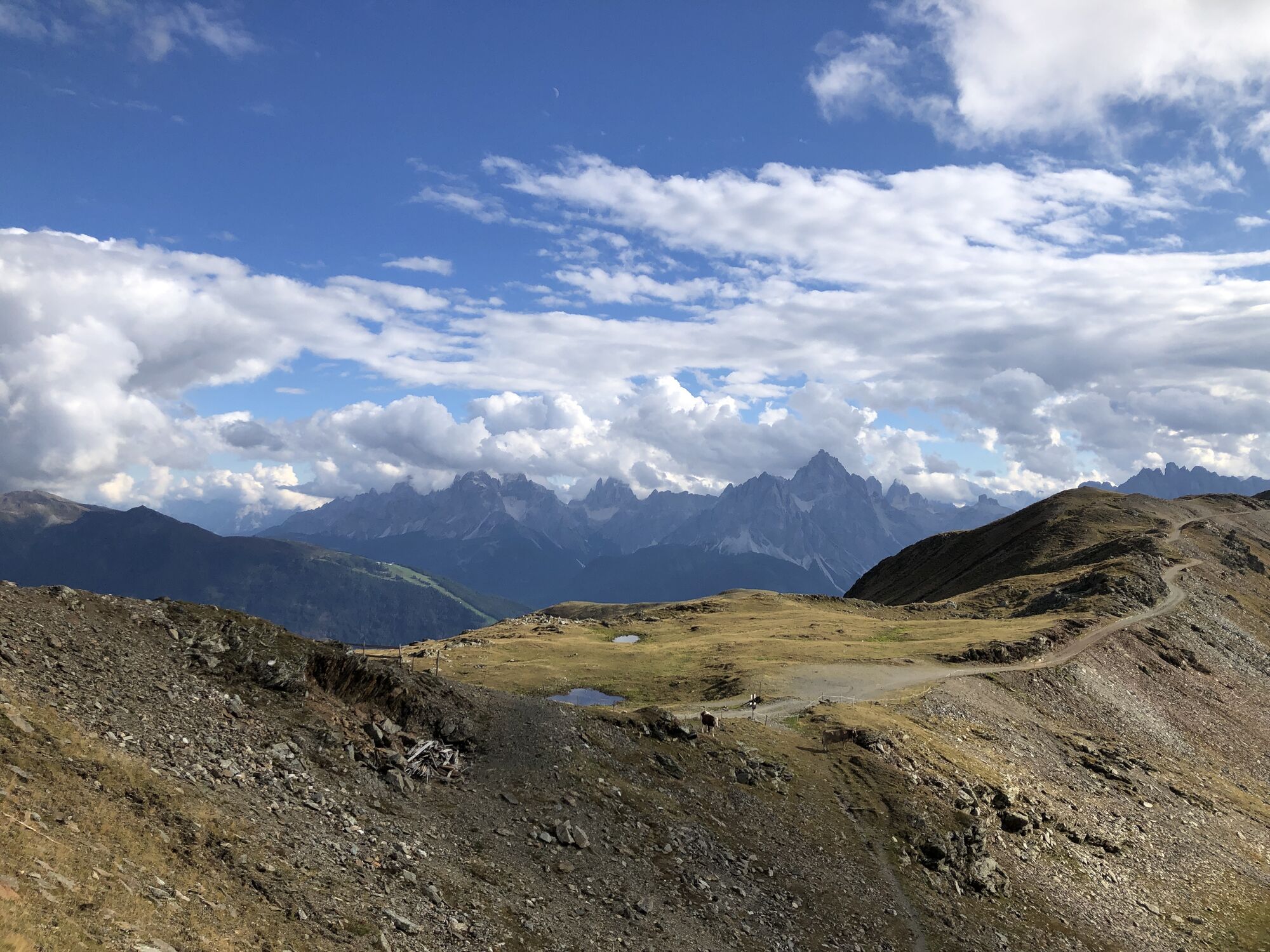
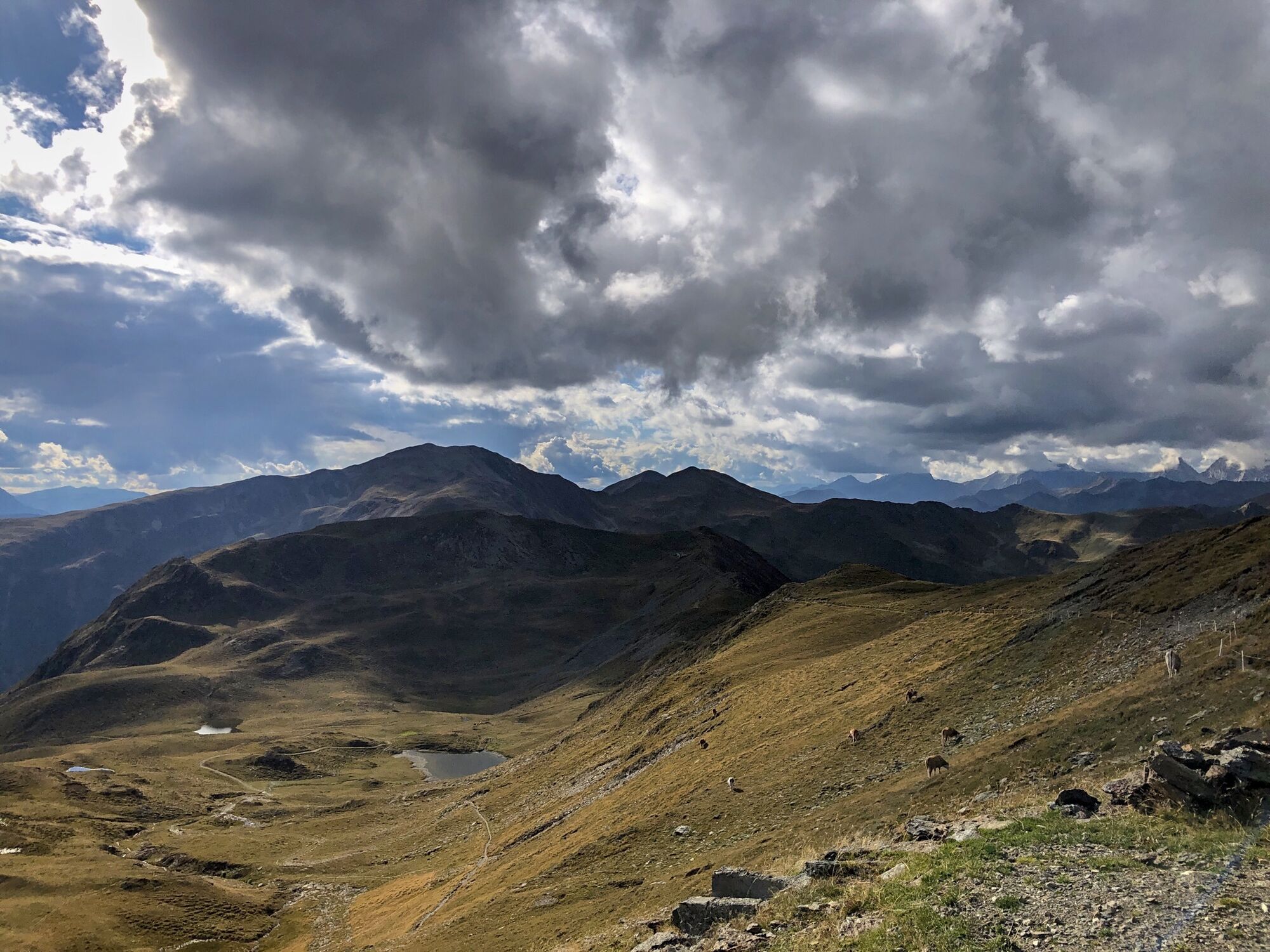
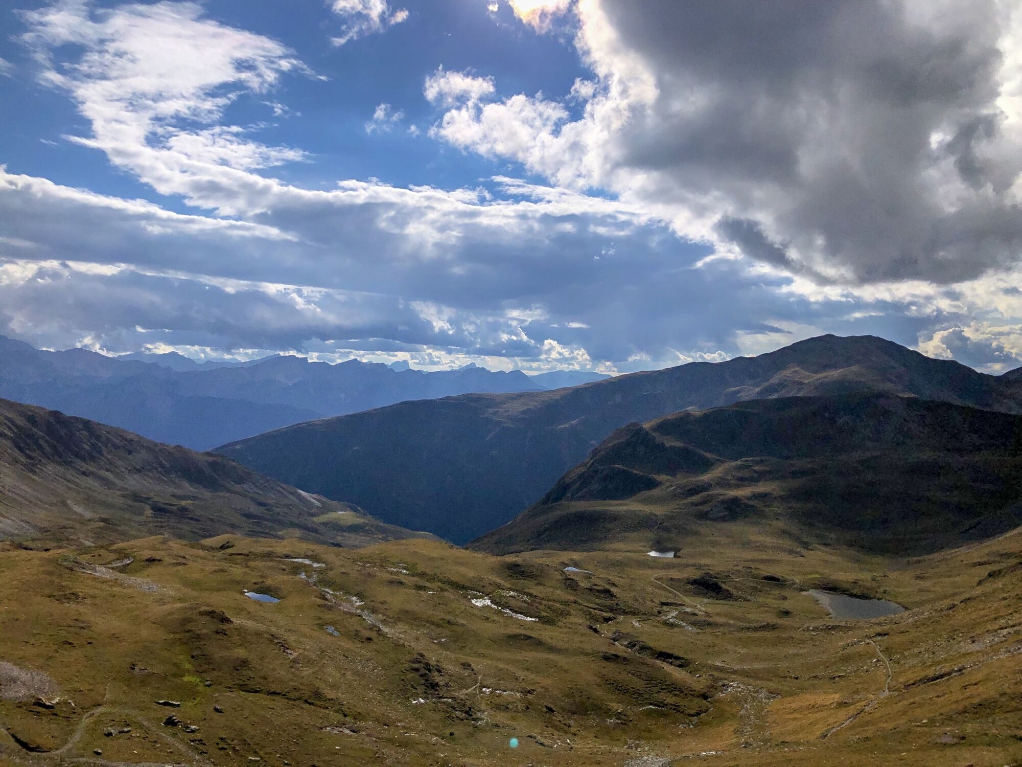
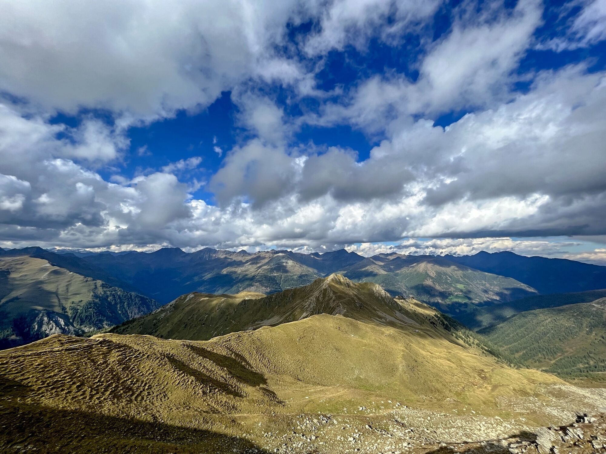
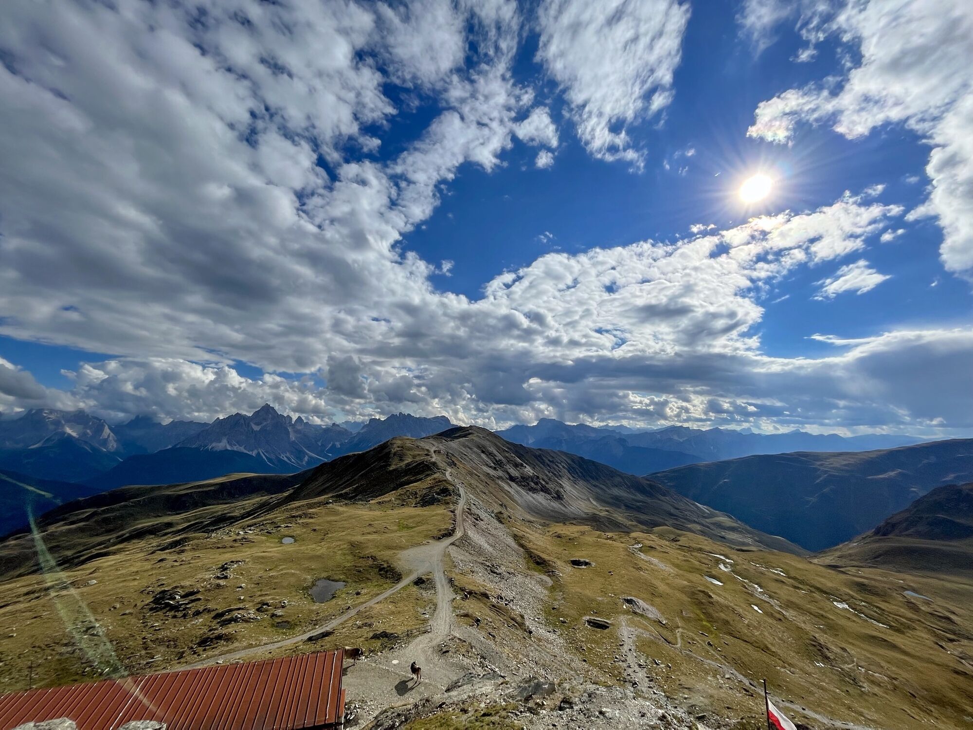
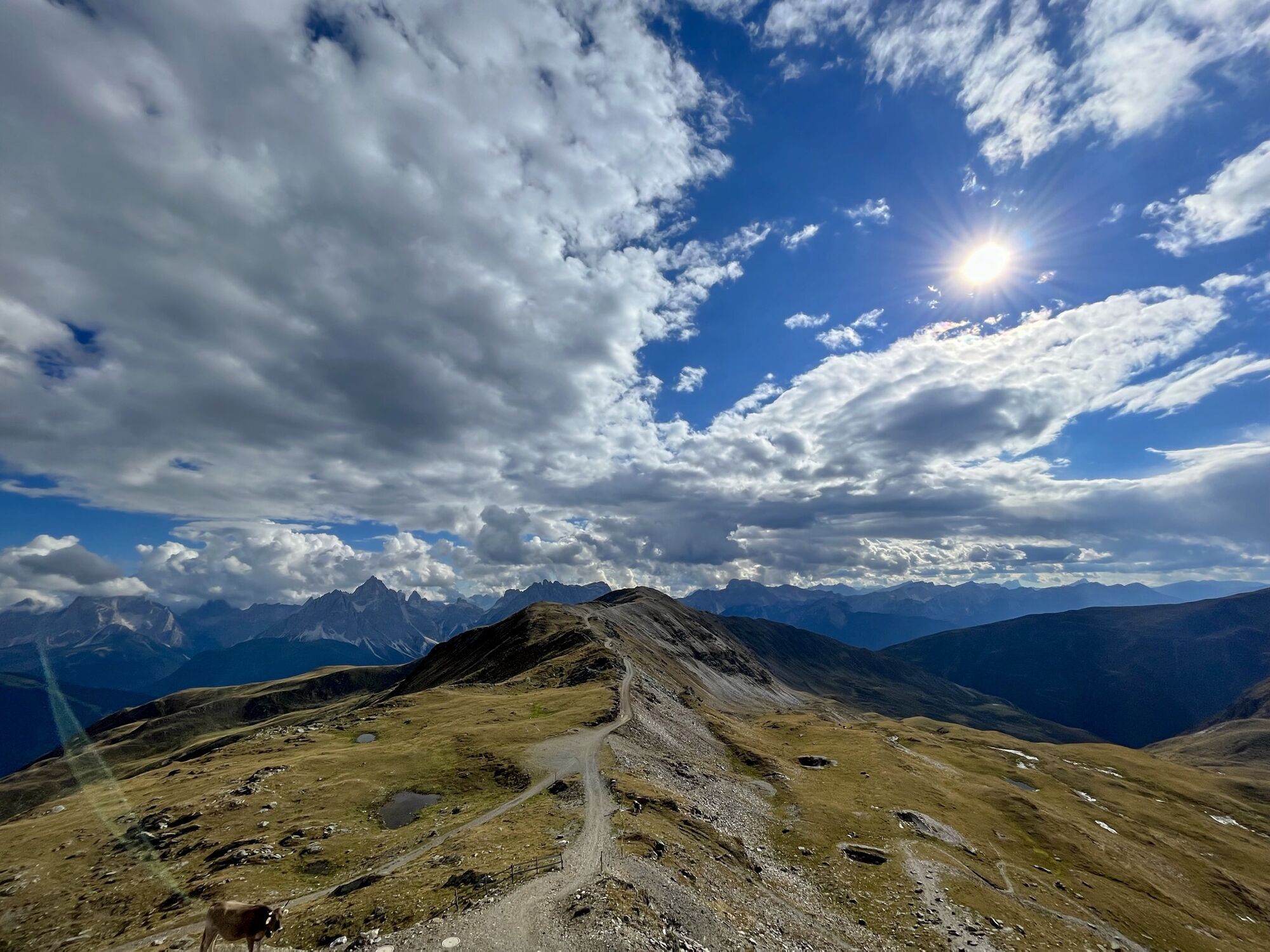
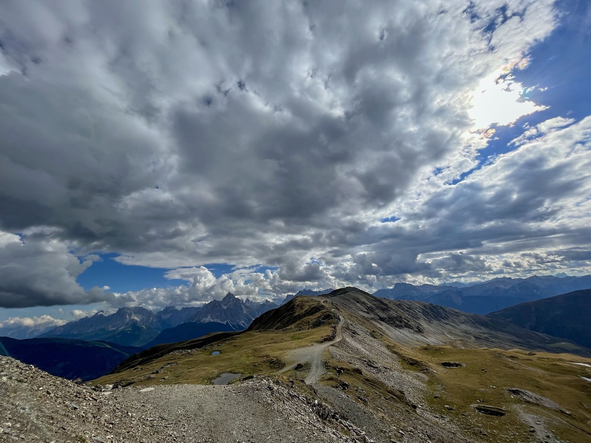
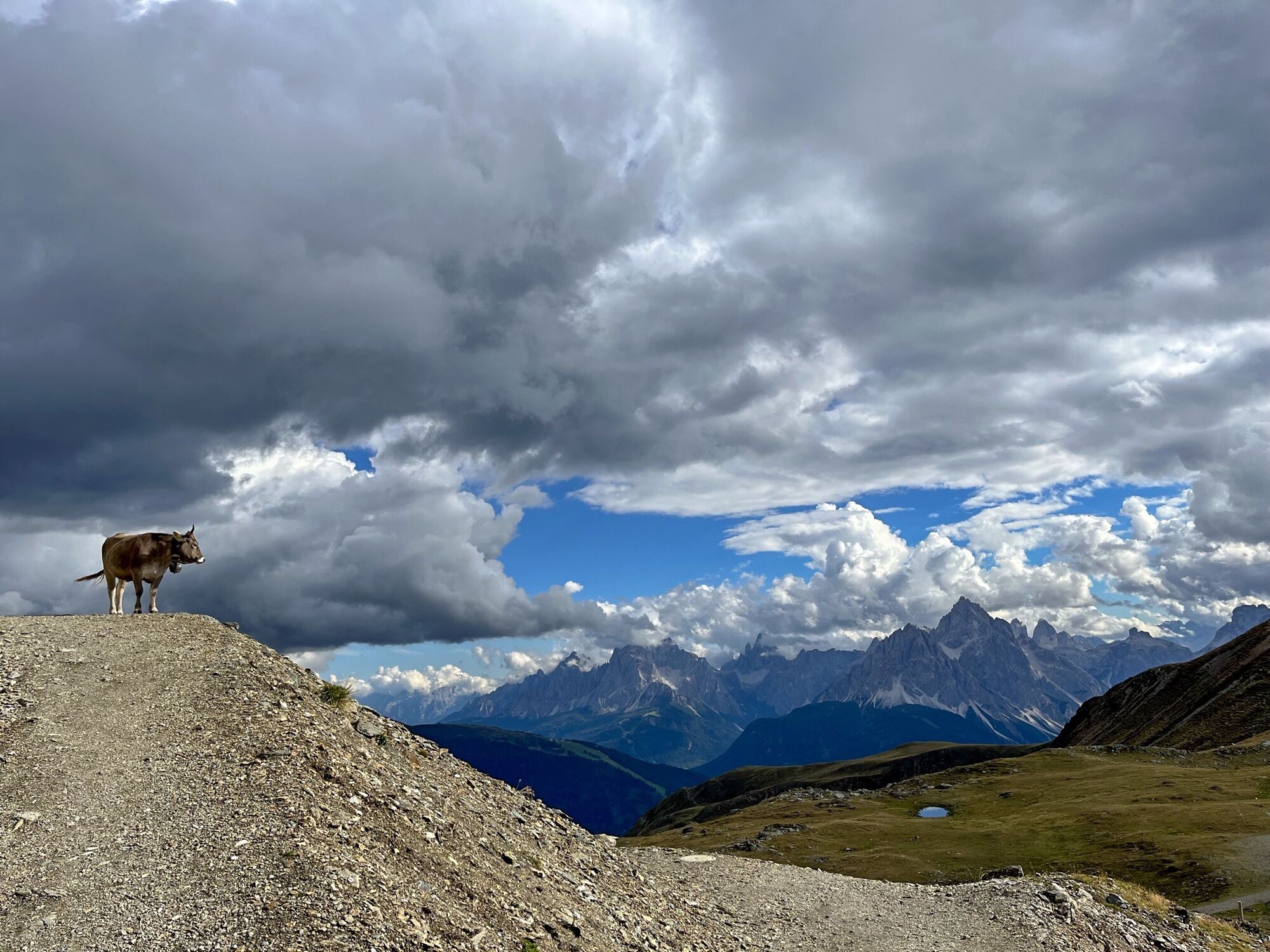
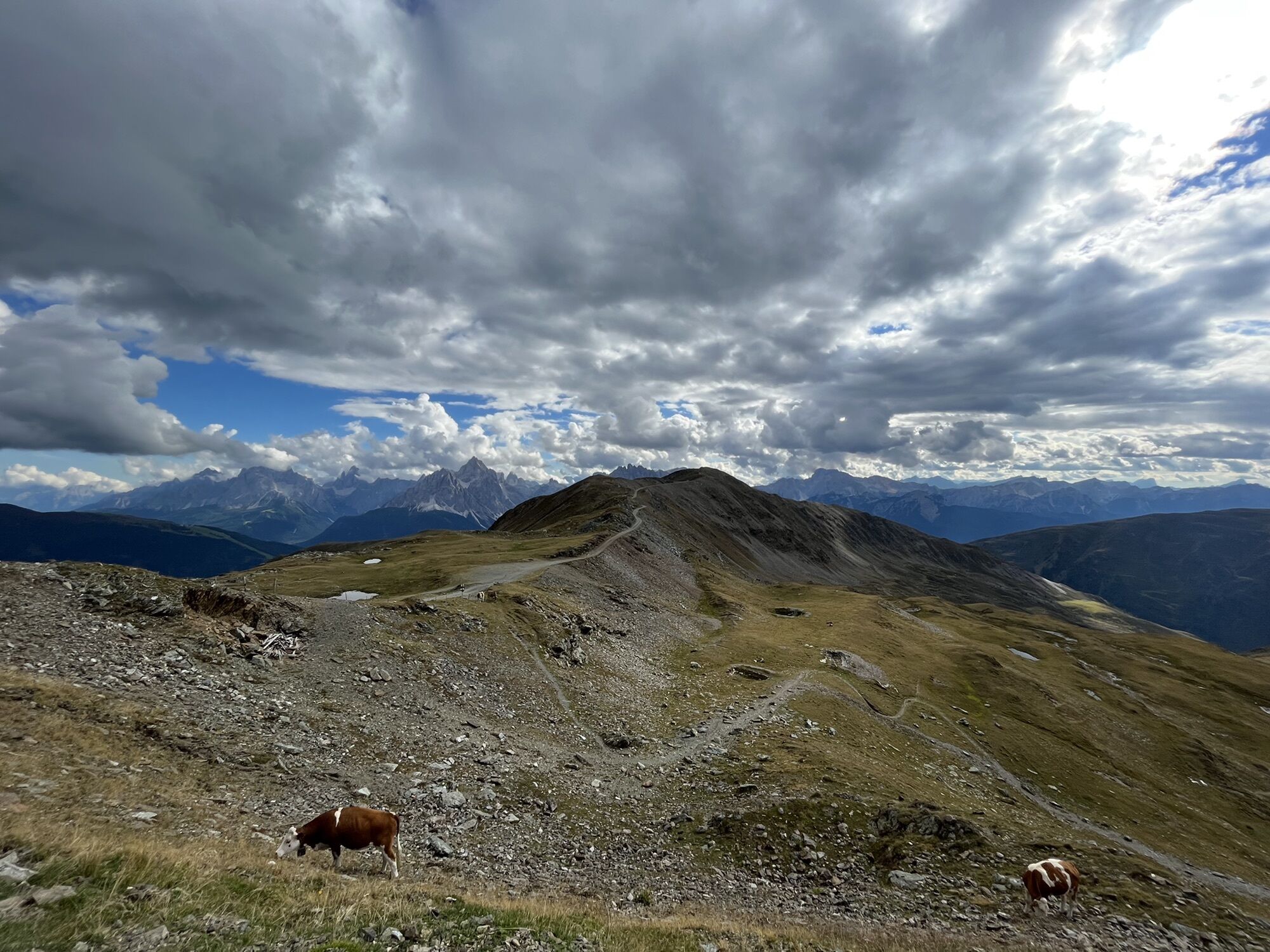
The Marchkinkele has a few more climbs than other tours, yet like the Gruberspitze, is one of the steeper ski tours around Kalkstein, which is why both mountains should only be tackled when conditions are safe. Up to the Marchkinkele we remain in the bottom of the Marchertal valley, keeping to the right of the river and cutting across the slightly ascending north-facing slopes of the Blankenstein and Marchkinkele. At around 2000 m we change to the opposite side via the Bachgraben. Passing a derelict inn after several hairpin bends we once again come to flat terrain. There is once again a little step in the terrain, which we circumvent in a right-hand loop. The destination is a little col, in the south-east, where the summer trail also climbs to the ridge. Beneath this saddle we walk through a small base area before we reach the ridge via a few hairpin bends. Be mindful of the risk of avalanche! To begin with ascend slightly to the left of the ridge, in a south-westerly direction up to the highest point. Descent along the ascent track.
Additional ski tour tips can be obtained in the ski tour guides by Thomas Mariacher. These are available here: http://www.grafikzloebl.at/verlag/buecher/
Parcours
Alfenalm
(1 703 m)
Lotissement
0,2 km
Marchkinkele - Cornetto Di Confine
(2 545 m)
Sommet
3,8 km
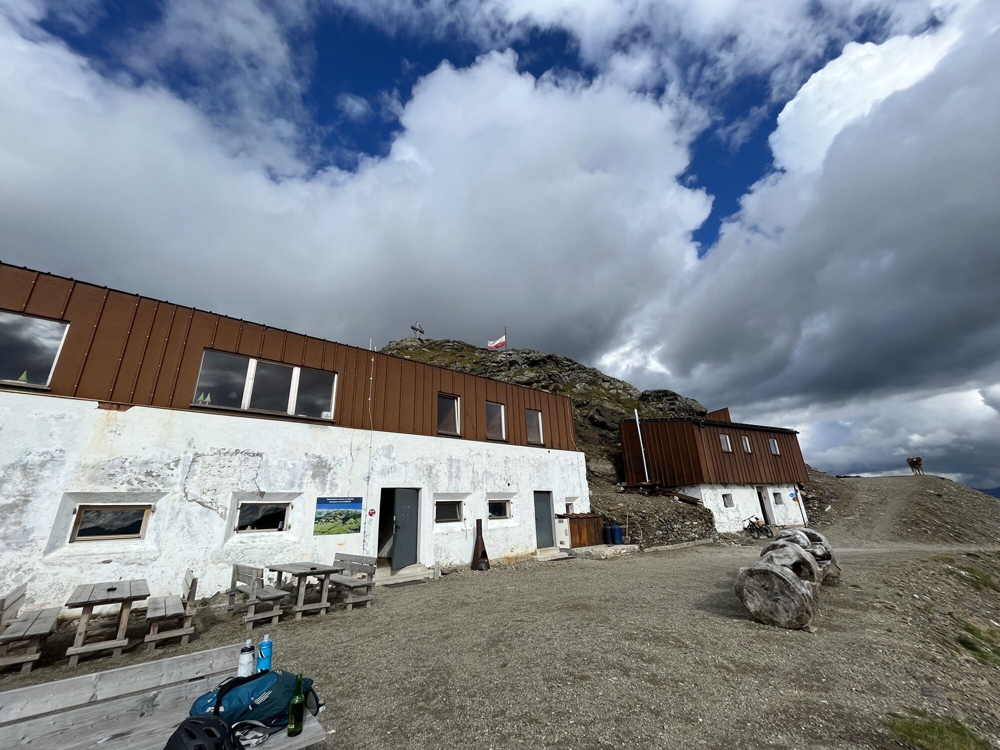
Marchhütte
(2 526 m)
Refuge
3,8 km
Parcours
Marchkinkele
difficile
Ski de randonnée
3,90
km
Informations sur l'itinéraire
Itinéraire
Mit dem Auto bis zum Weiler Kalkstein
Transports en commun
Mit dem Bus bis zur Haltestelle "Innervillgraten Kalkstein"
Parking
Parkplatz bei der Bad'l Alm
Pas encore d'évaluation
Webcams de la tournée
Parcours populaires à proximité
-
4,8
Seerunde
facileRandonnée 2,66 km -
4,6
Rote Wand
moyenRandonnée d'altitude 12,0 km -
4,8
Von Kalkstein auf das Toblacher Pfannhorn (2.663 m) und Marchkinkele
moyenRandonnée 14,2 km -
4,8
Sillianer Hütte 2.447 m
moyenRandonnée 16,8 km -
4,9
Fischleintalhütte - Rotwandwiesen - Rotwandköpfe - Talschlusshütte- Fischleintalhütte
moyenRandonnée 13,4 km -
3,9
Helm und Sillianer Hütte
facileRandonnée 8,17 km -
5,0
Heimkehrer Kreuz - Hornischegg - Sillianer Hütte
moyenRandonnée 9,43 km -
Kreuzspitze, 2.624 m
moyenRandonnée 5,27 km -
4,6
Van Dobbiaco naar Lienz
facileFaire du vélo 50,8 km -
4,6
Brugger Alm - Ragötzel Hütte - Eggenhütte
moyenRandonnée 10,1 km
Randonnée et suivi

Plus de 550.000 propositions de circuits, des cartes détaillées et un planificateur d'itinéraire intuitif font de cette application un must pour tous les passionnés de nature.

Ne manquez pas les offres et l'inspiration pour vos prochaines vacances
S'inscrire à la newsletter
Erreur
Une erreur s'est produite. Veuillez réessayer.
Merci pour votre inscription
Votre adresse électronique a été ajouté à la liste de diffusion.
Parcours en Europe
Autriche
Suisse
Allemagne
Italie
Slovénie
France
Pays-Bas
Belgique
Pologne
Liechtenstein
République tchèque
Slovaquie
Espagne
Croatie
Bosnie-Herzégovine
Luxembourg
Andorre
Portugal
Islande
Royaume-Uni
Irlande
Grèce
Albanie
Macédoine du Nord
Malte
Norvège
Monténégro
Moldavie
Kosovo
Hongrie
Saint-Marin
Roumanie
Estonie
Lettonie
Bélarus
Chypre
Lituanie
Serbie
Bulgarie
Monaco
Danemark
Suède
Finlande