
Ski tour Rote Wand 2.818m
facile
Télécharge cette visite sur ton portable
Ski tour Rote Wand 2.818m
facile
Ski de randonnée
6,12
km
Scanner le code QR et commencer la navigation dans l'application bergfex


Randonnée & tracking





Ski tour Rote Wand 2.818m
facile
Distance
6,12
km
Durée
03:00
h
Ascension
772
m
Altitude
1 980 -
2 772
m
Téléchargement de la piste
Ski tour Rote Wand 2.818m
facile
Ski de randonnée
6,12
km
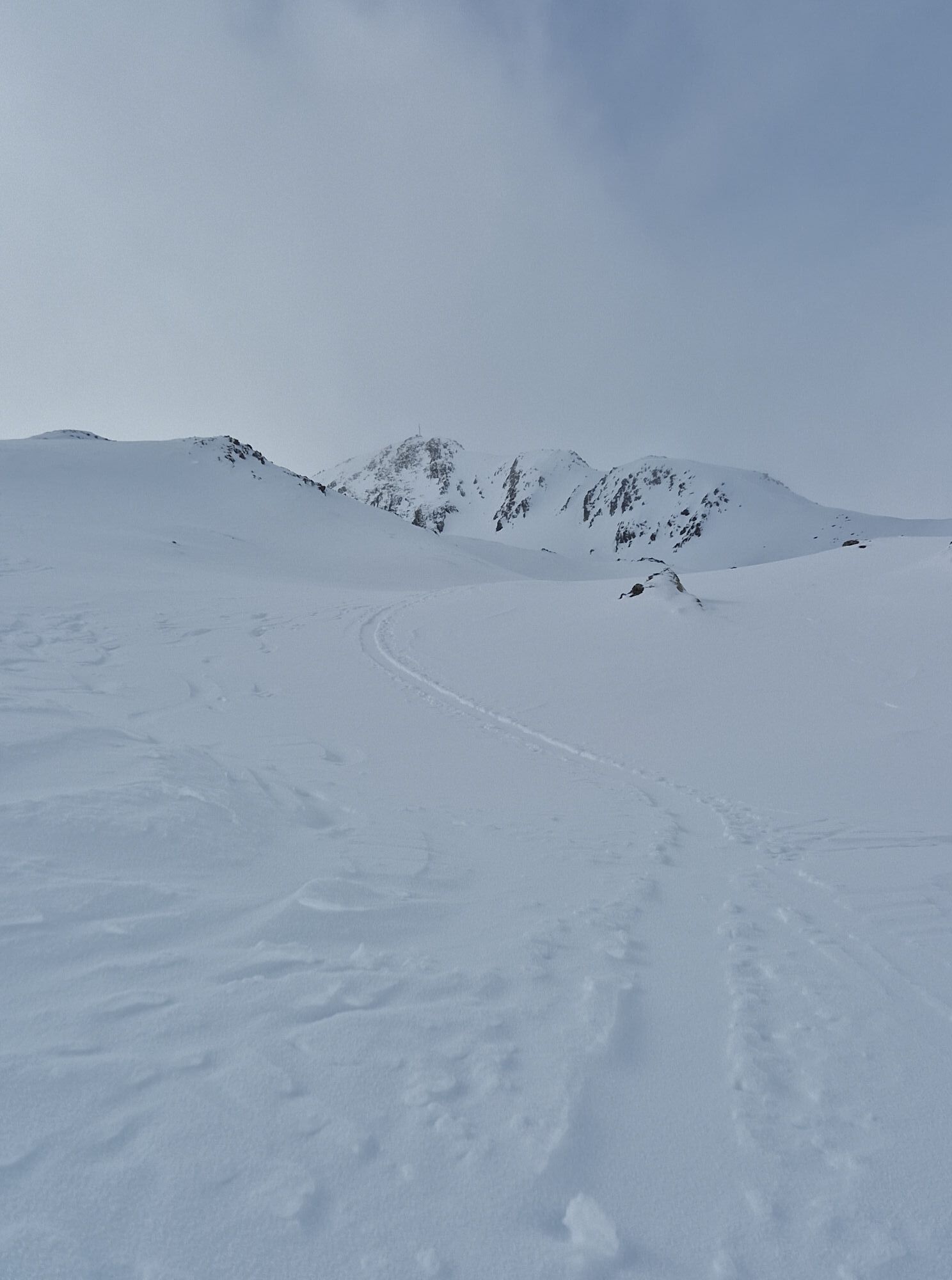
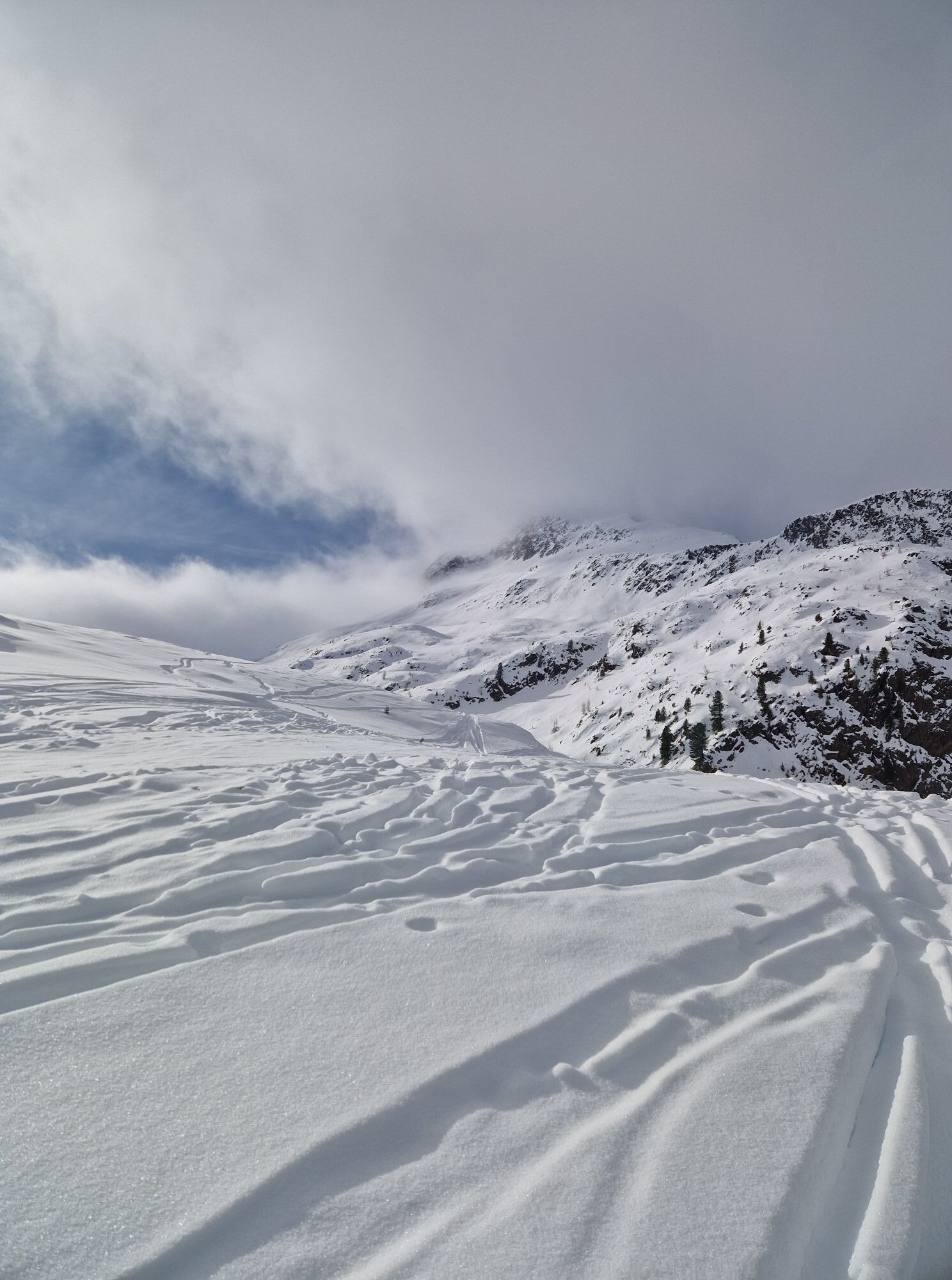
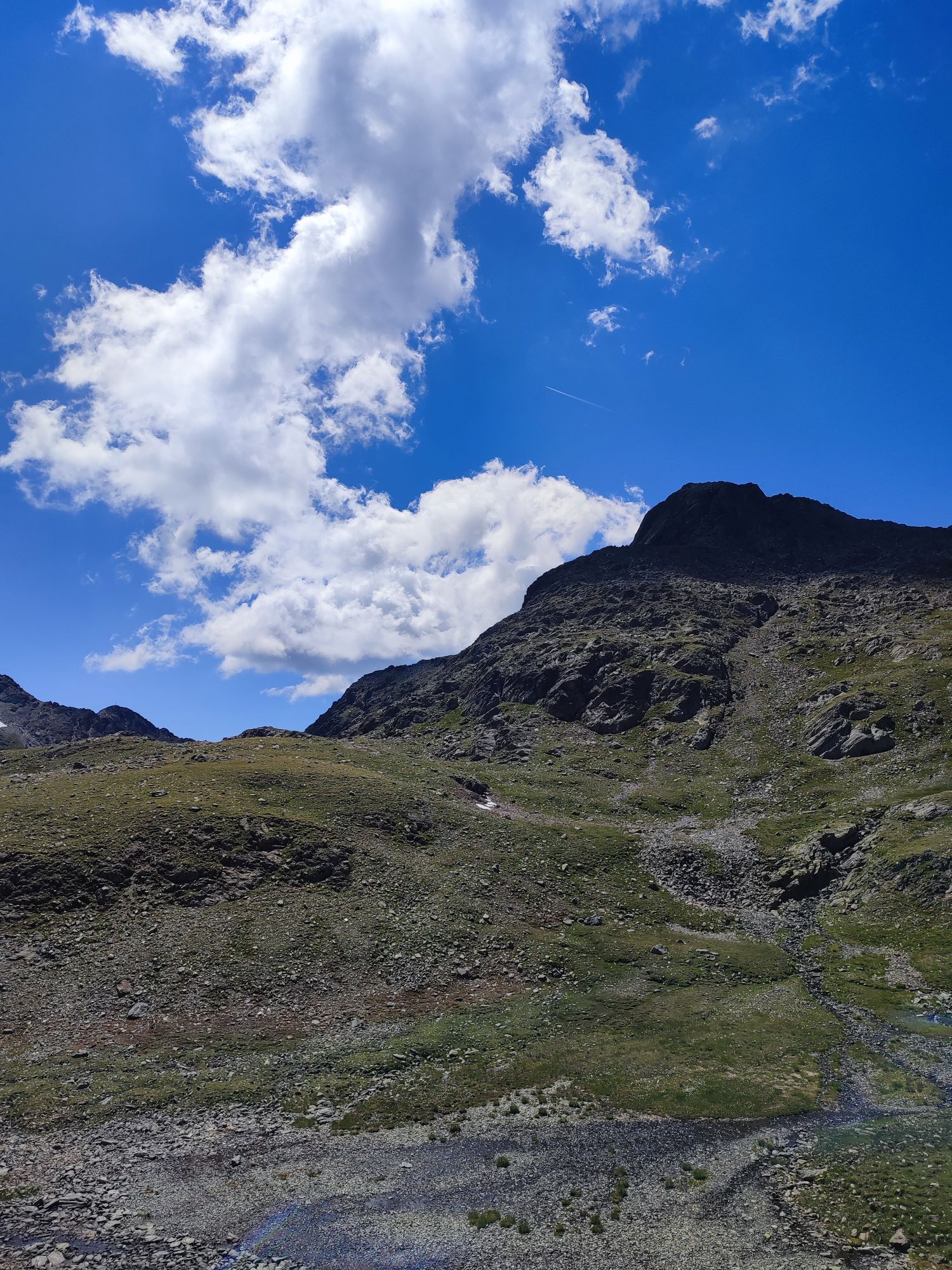
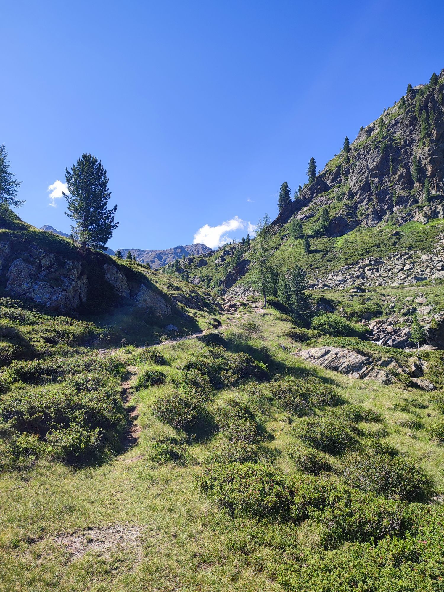
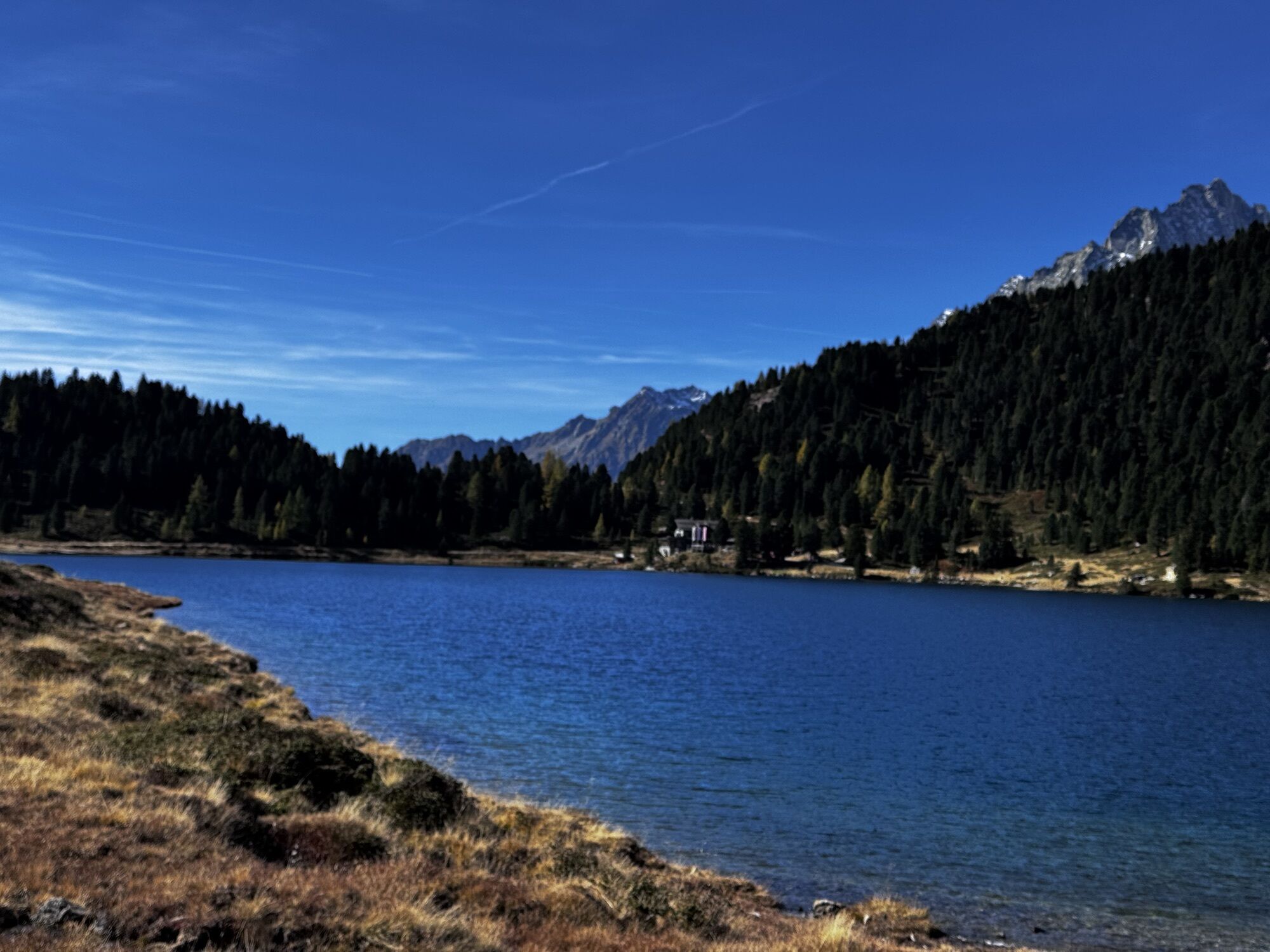
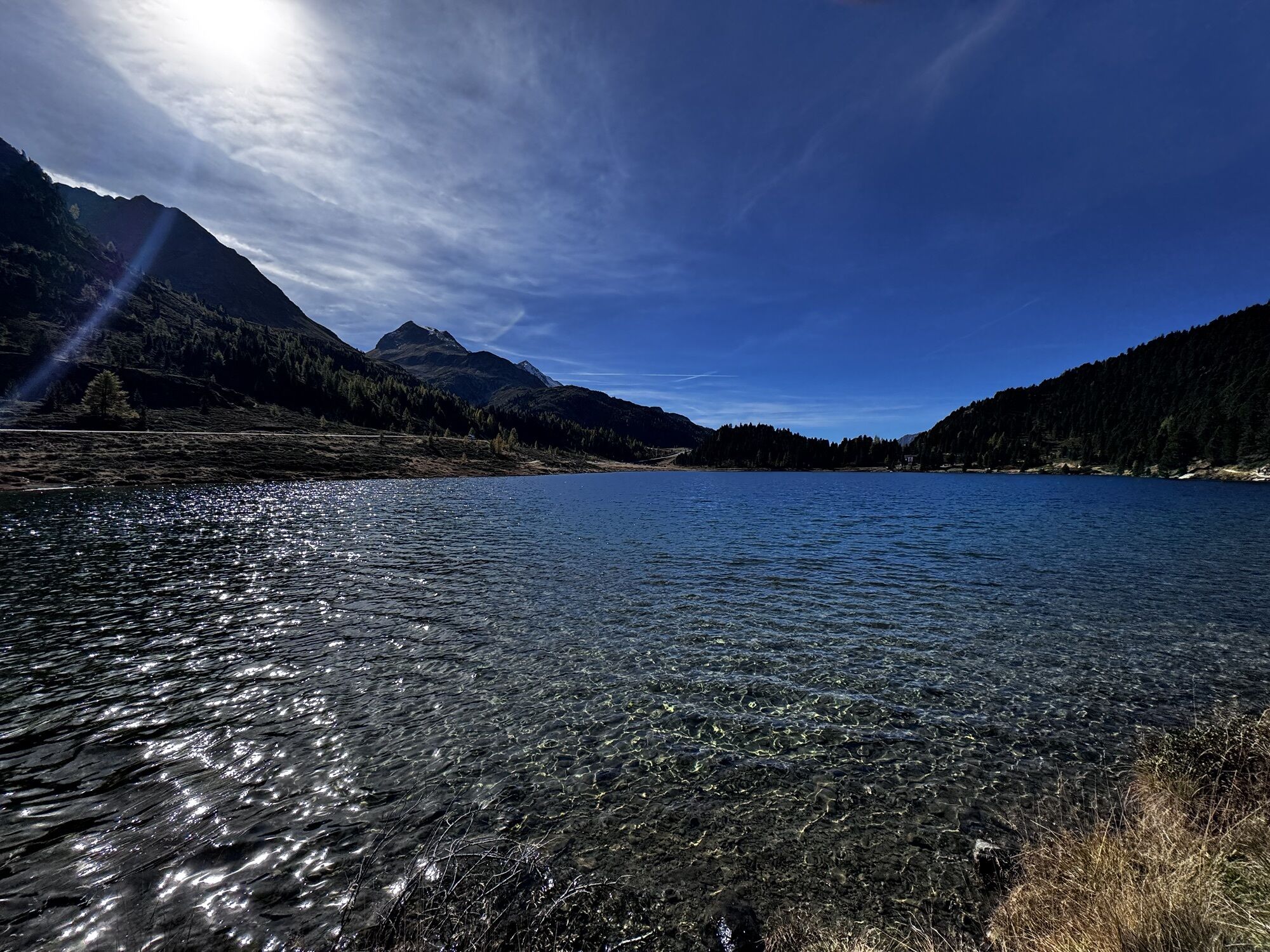
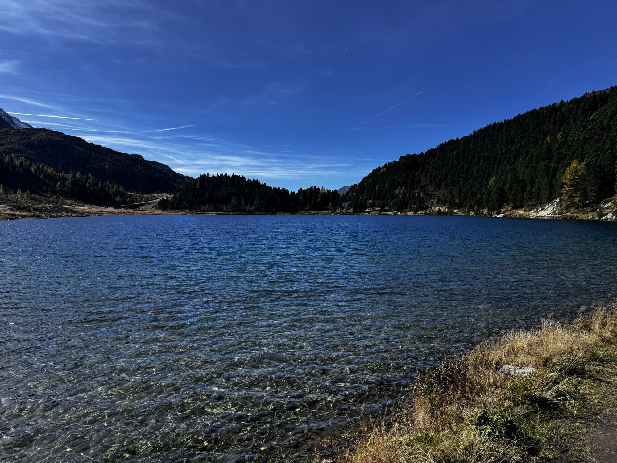
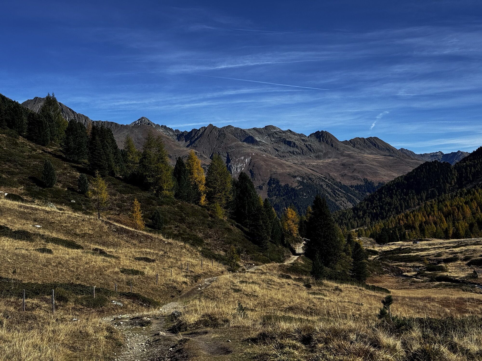
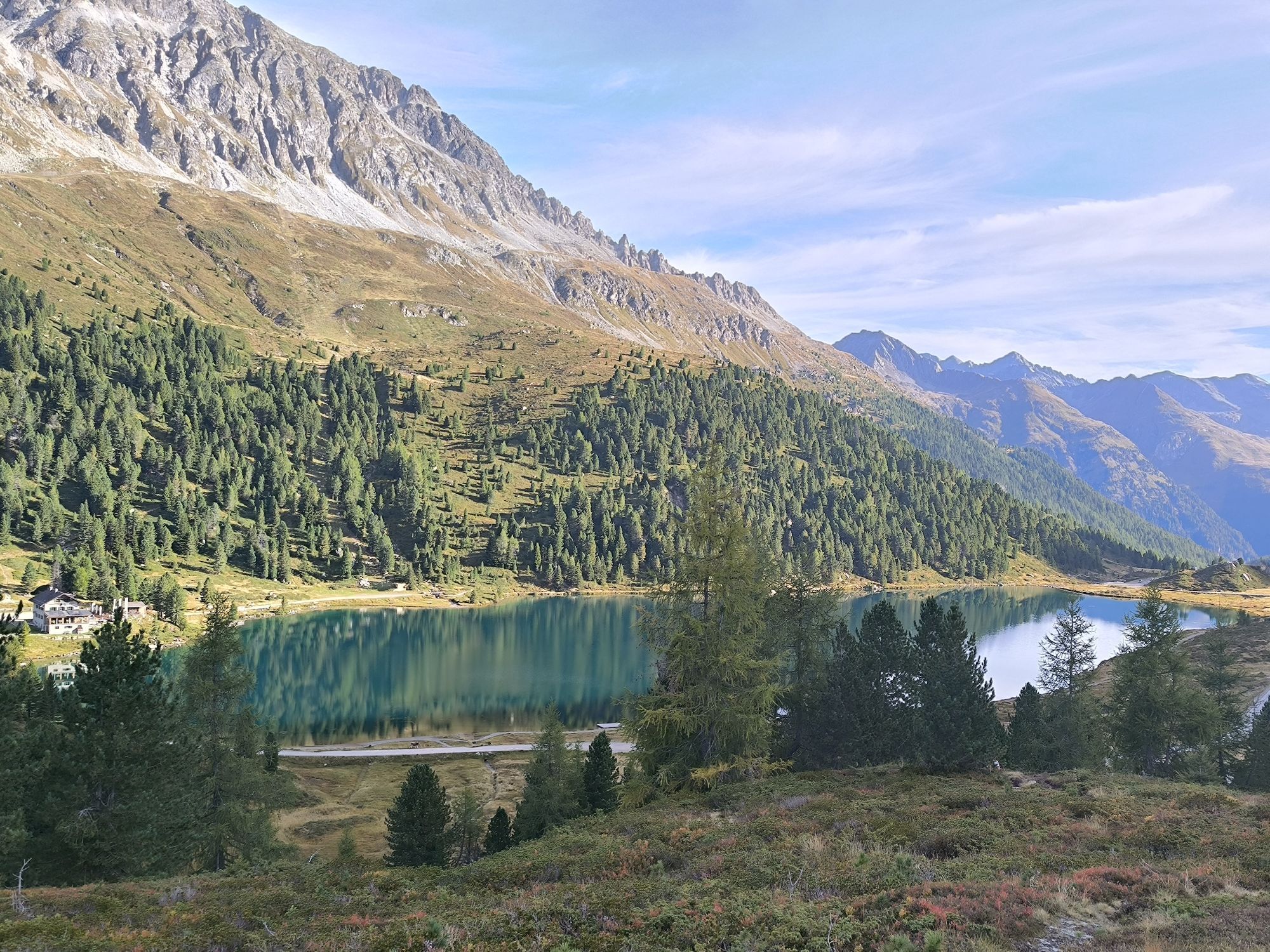
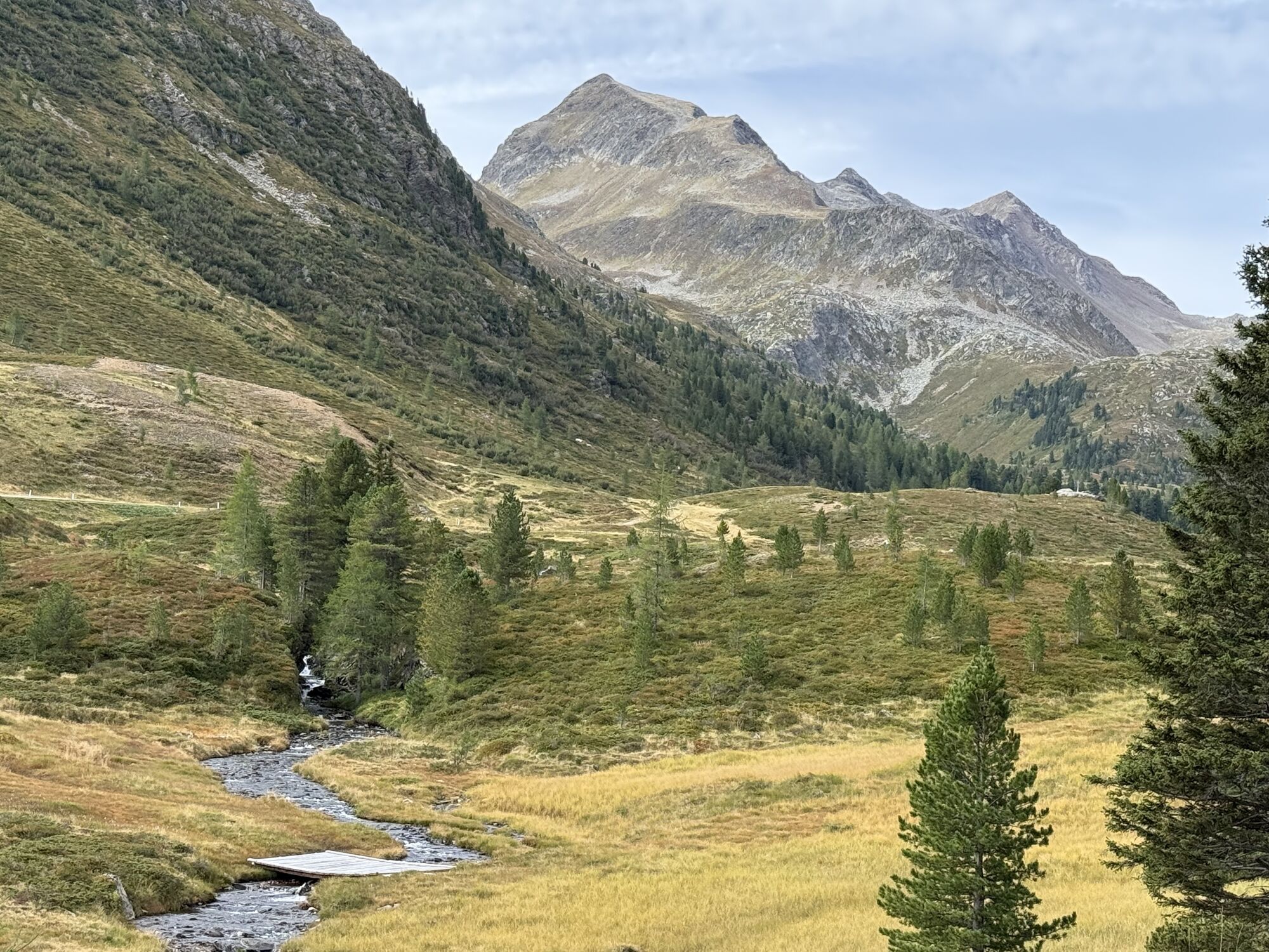
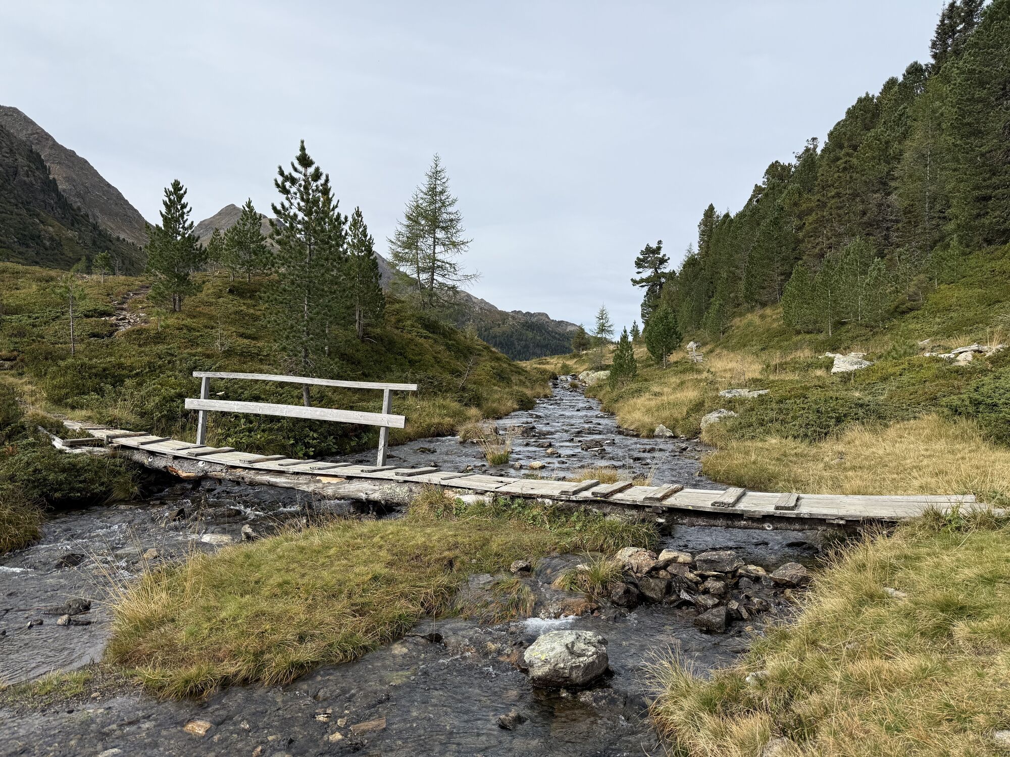
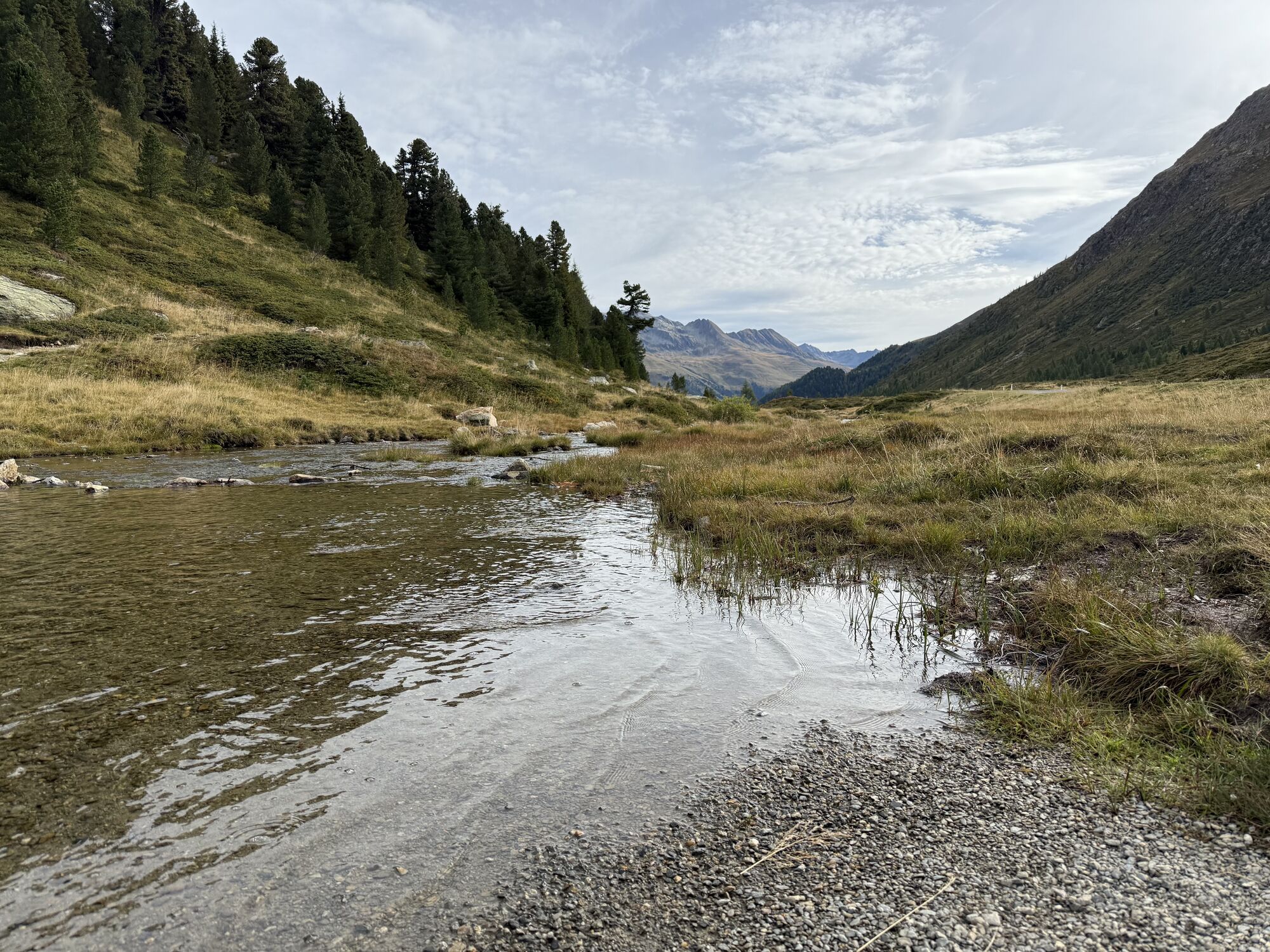
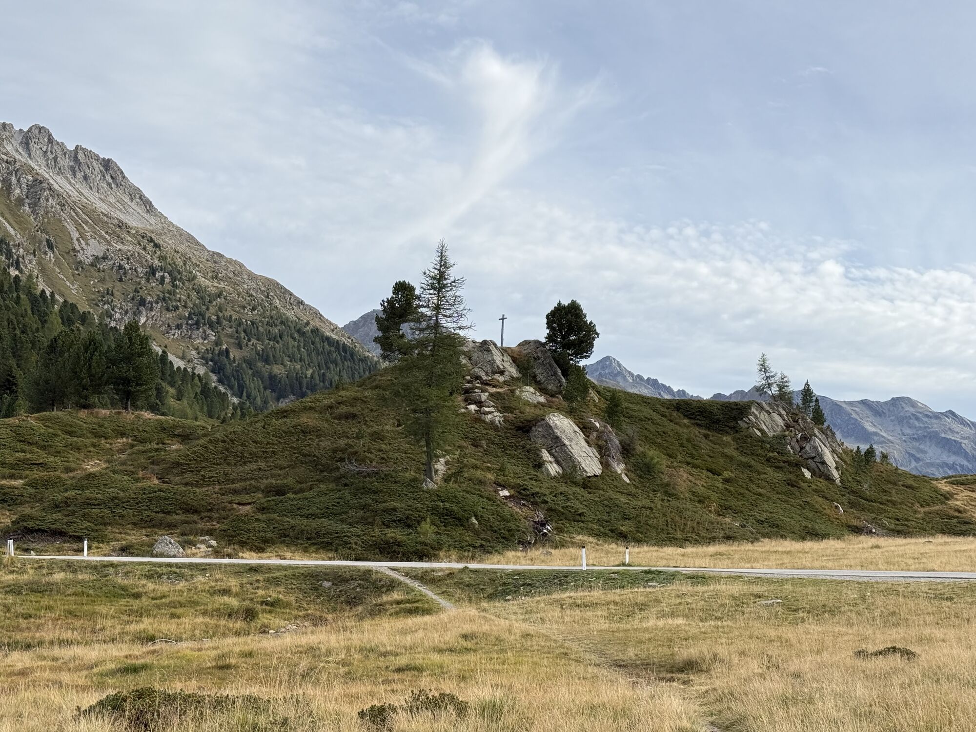
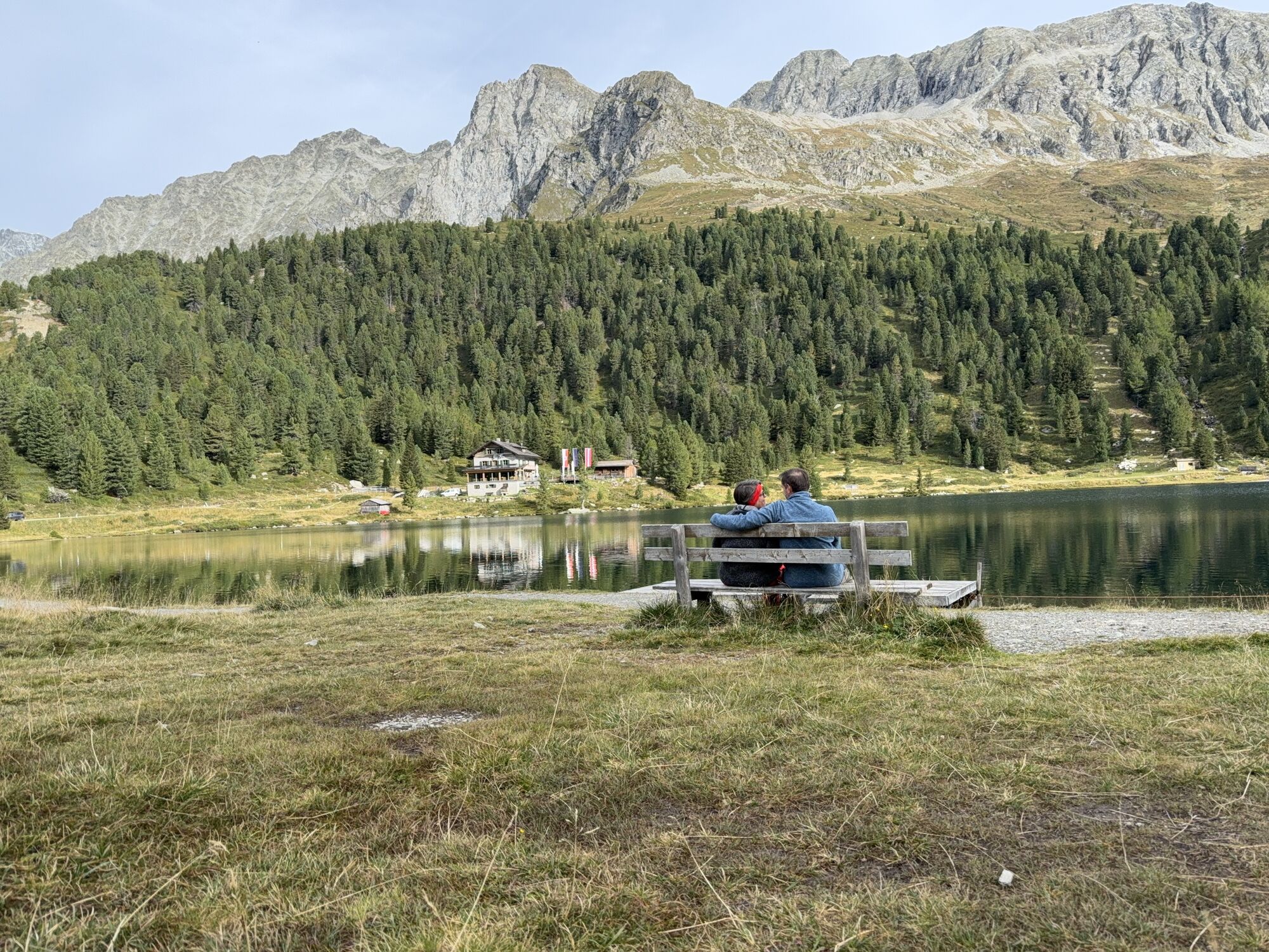
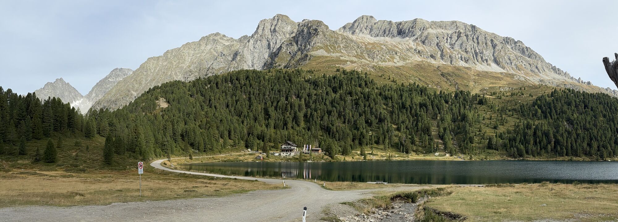
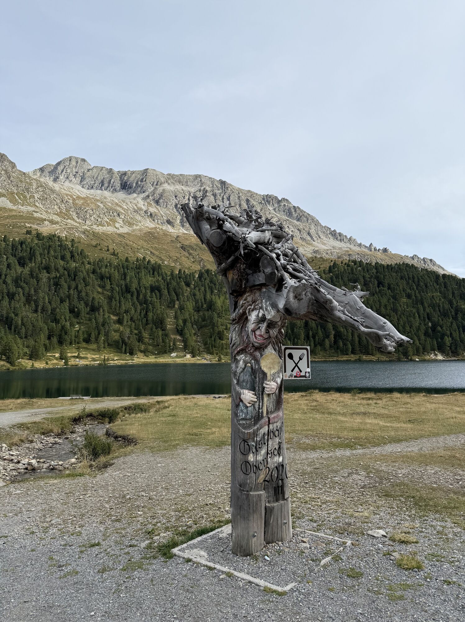
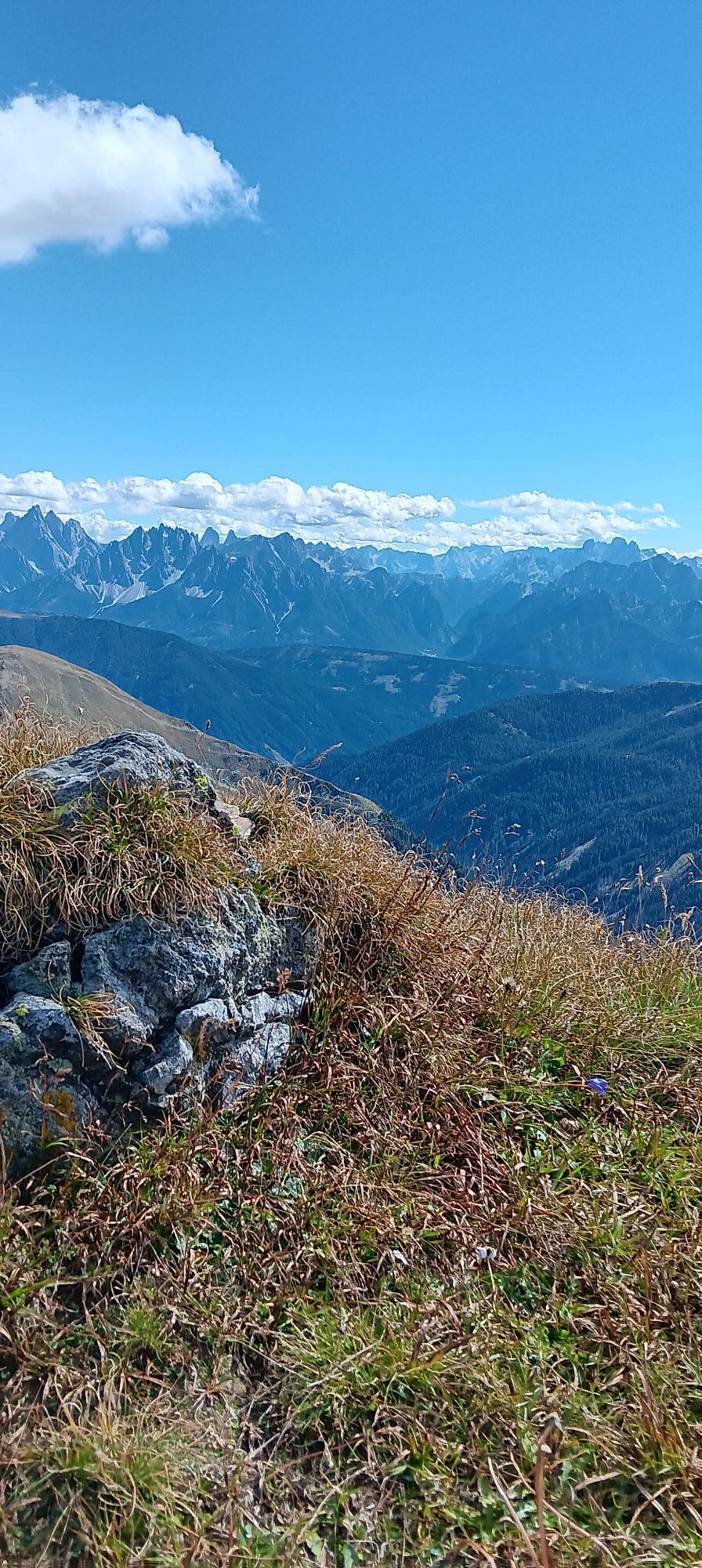
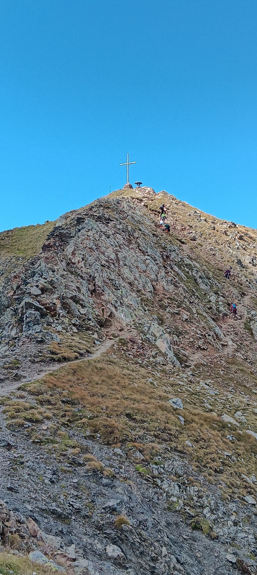
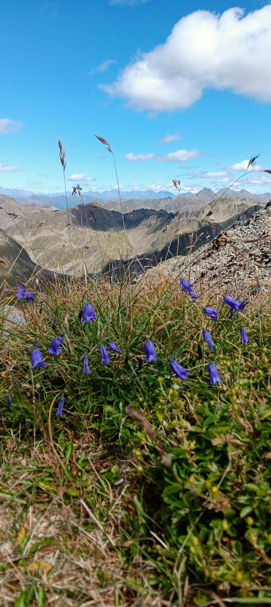
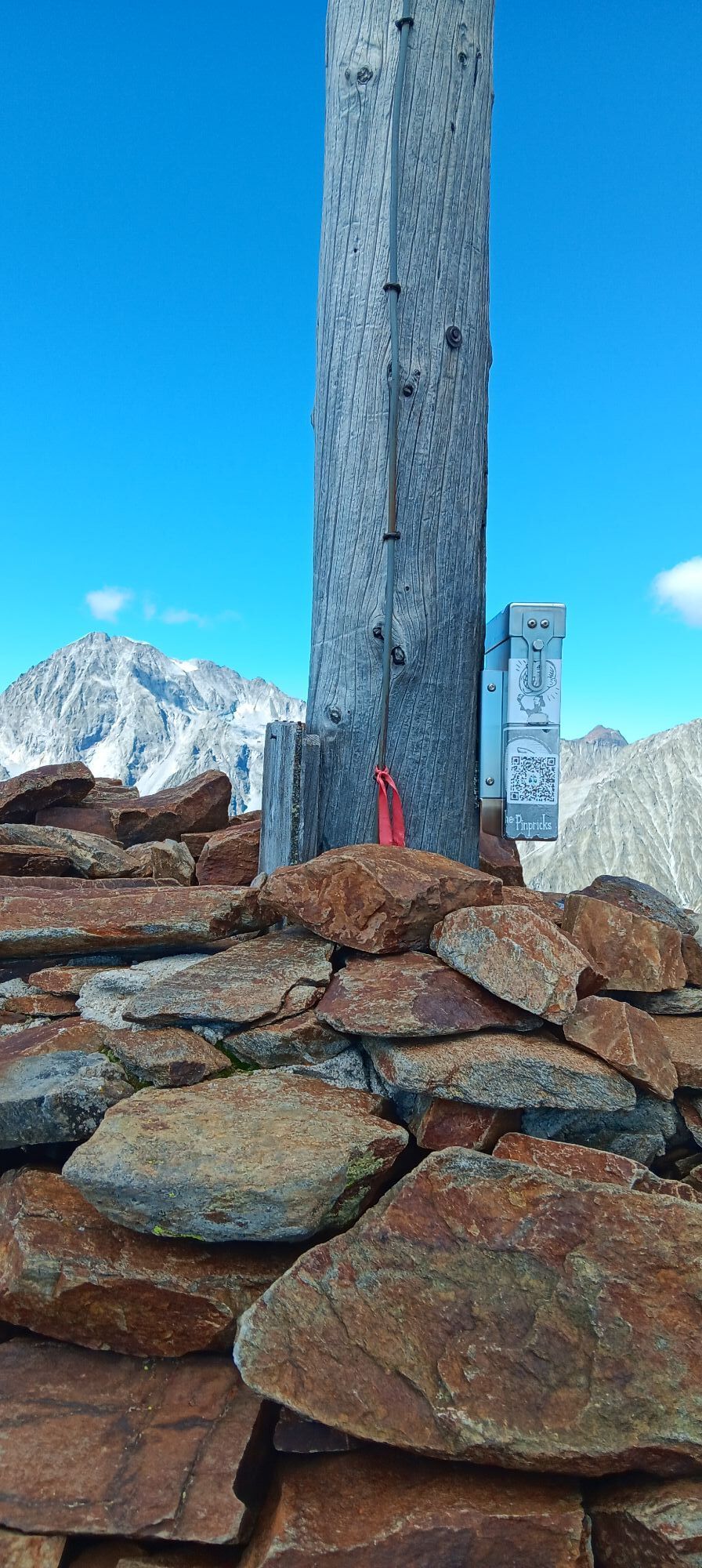
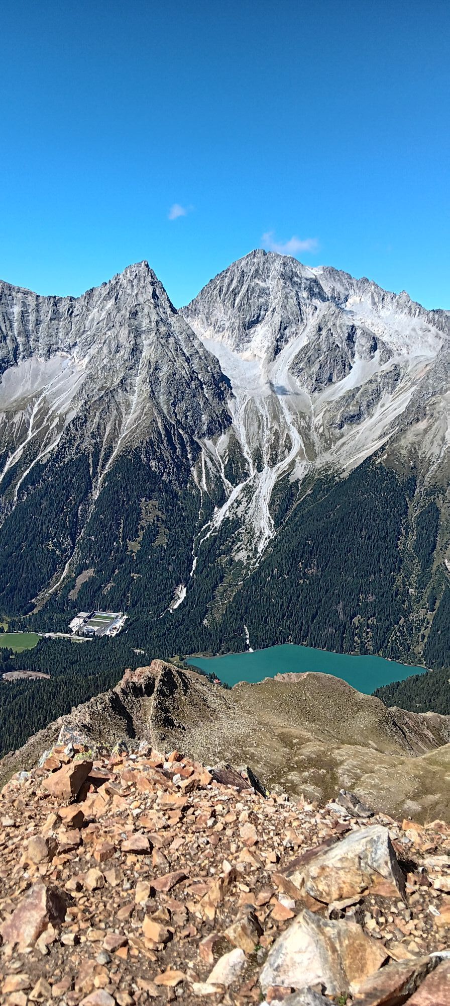
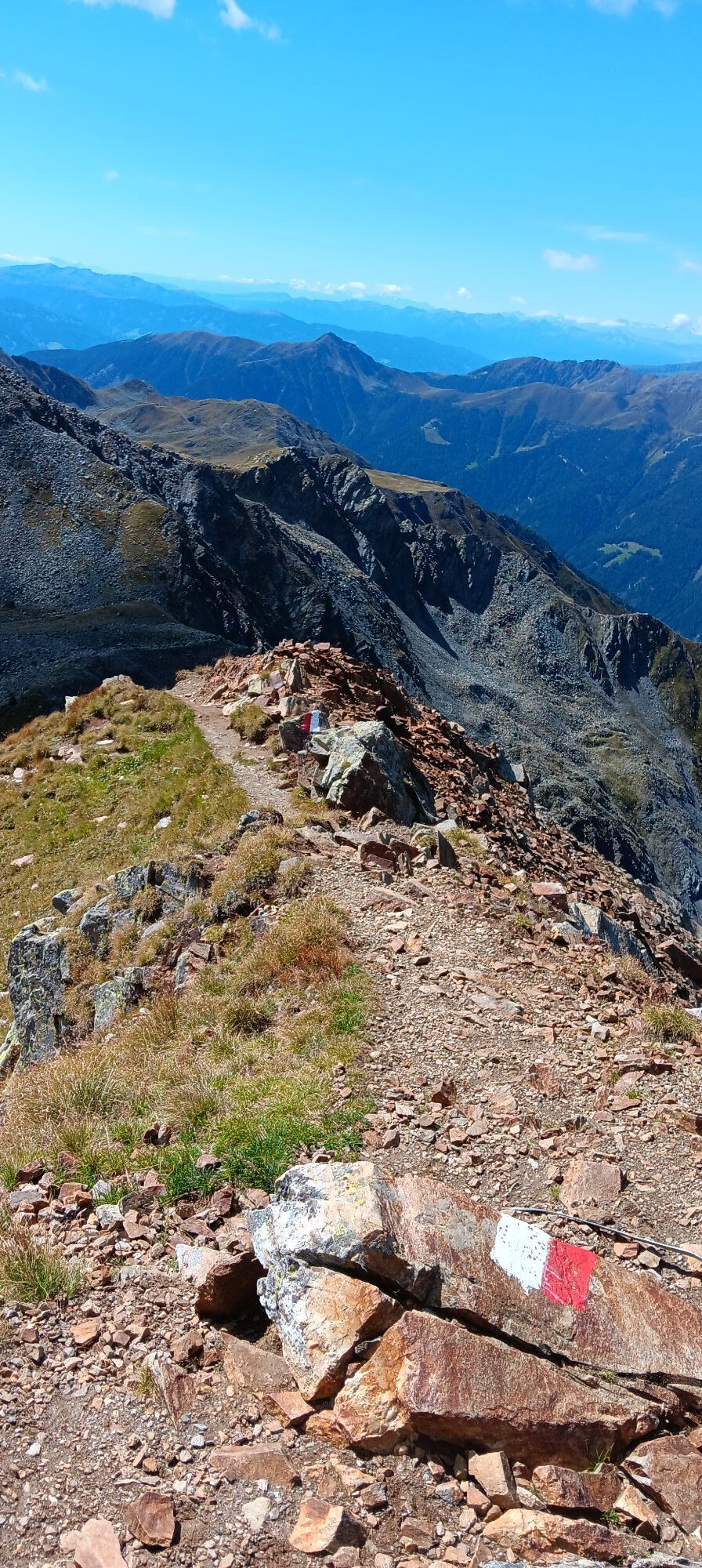
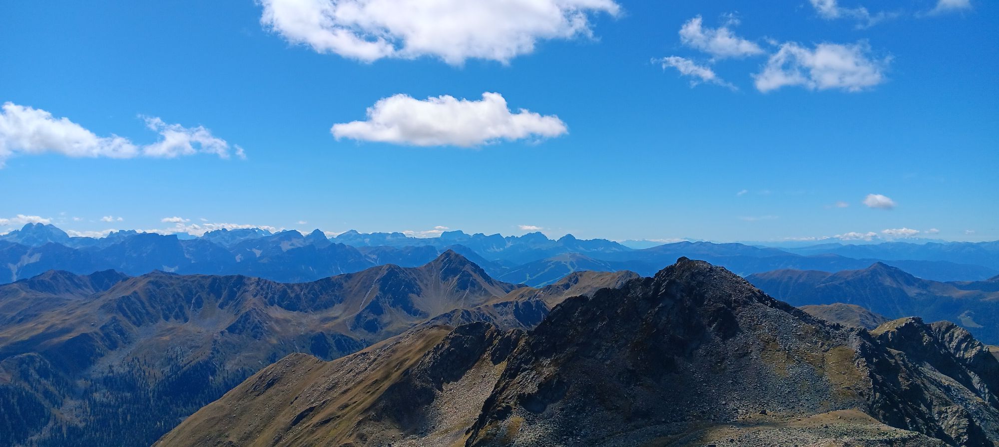
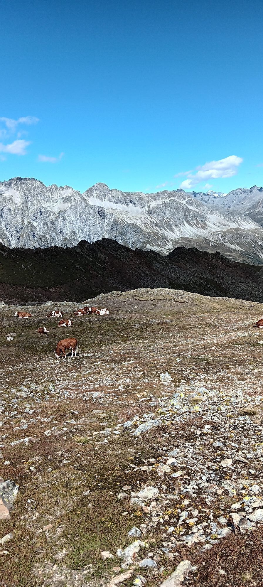
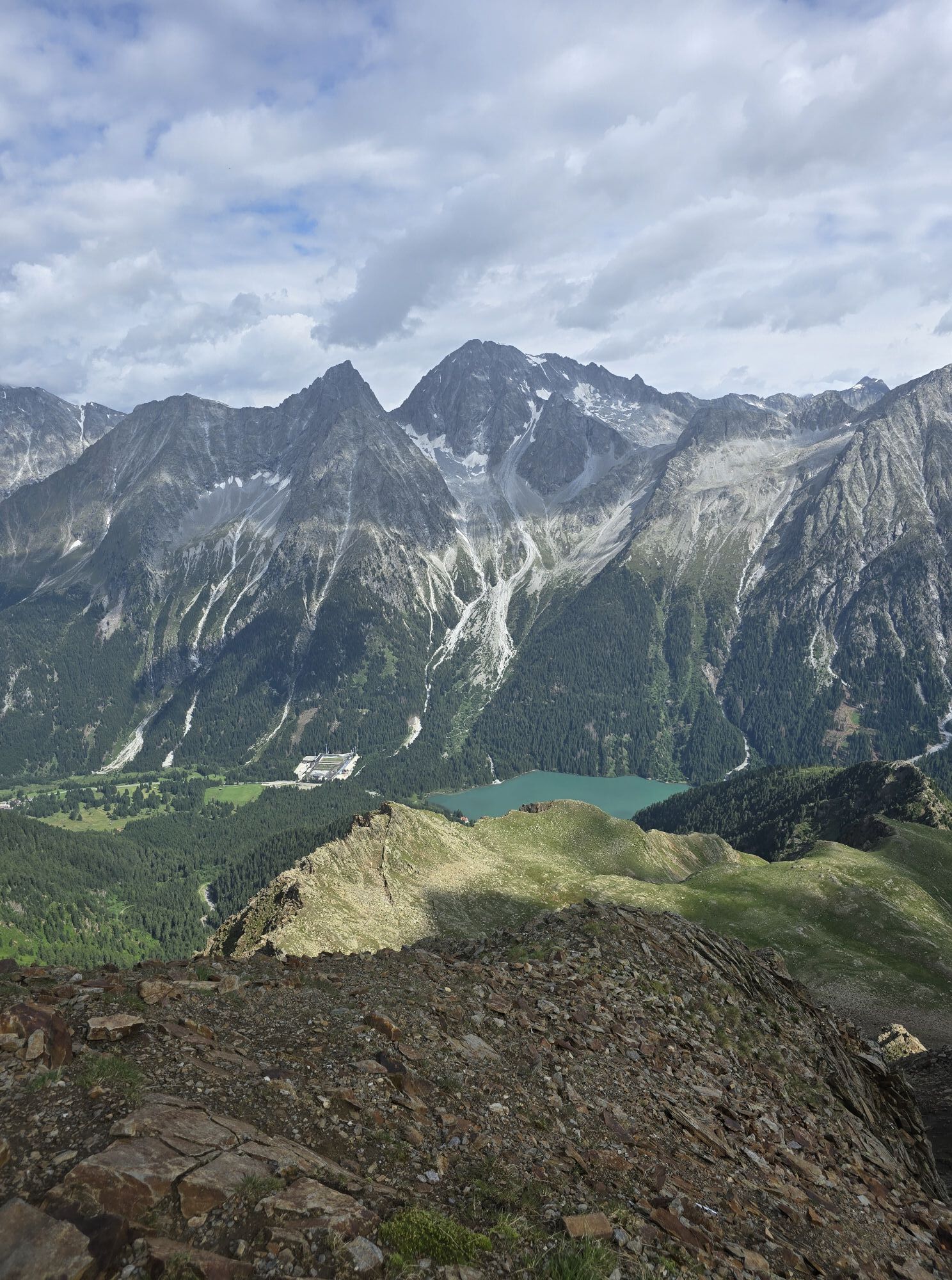
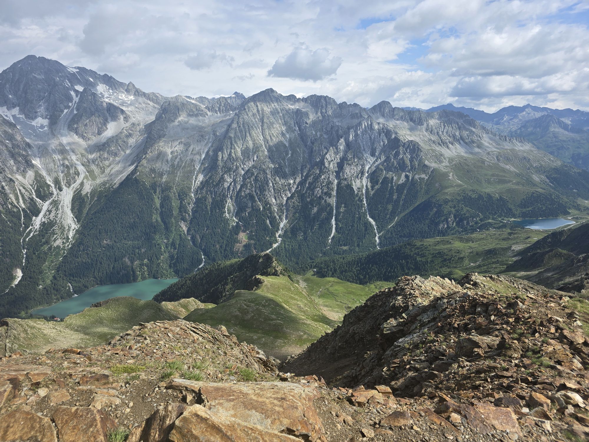
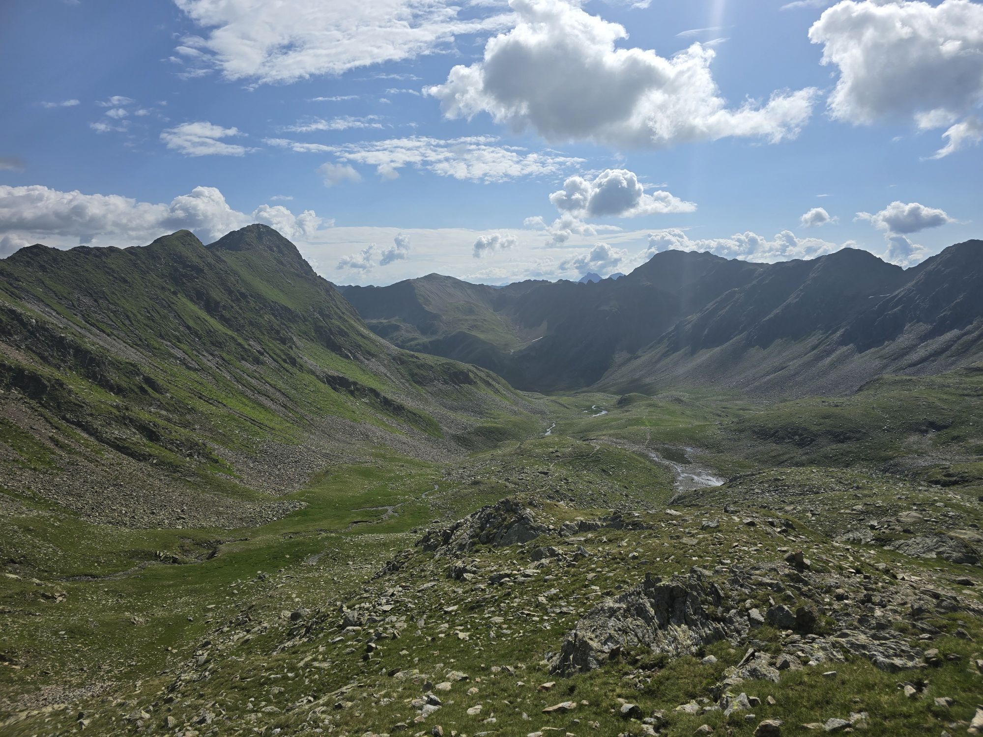
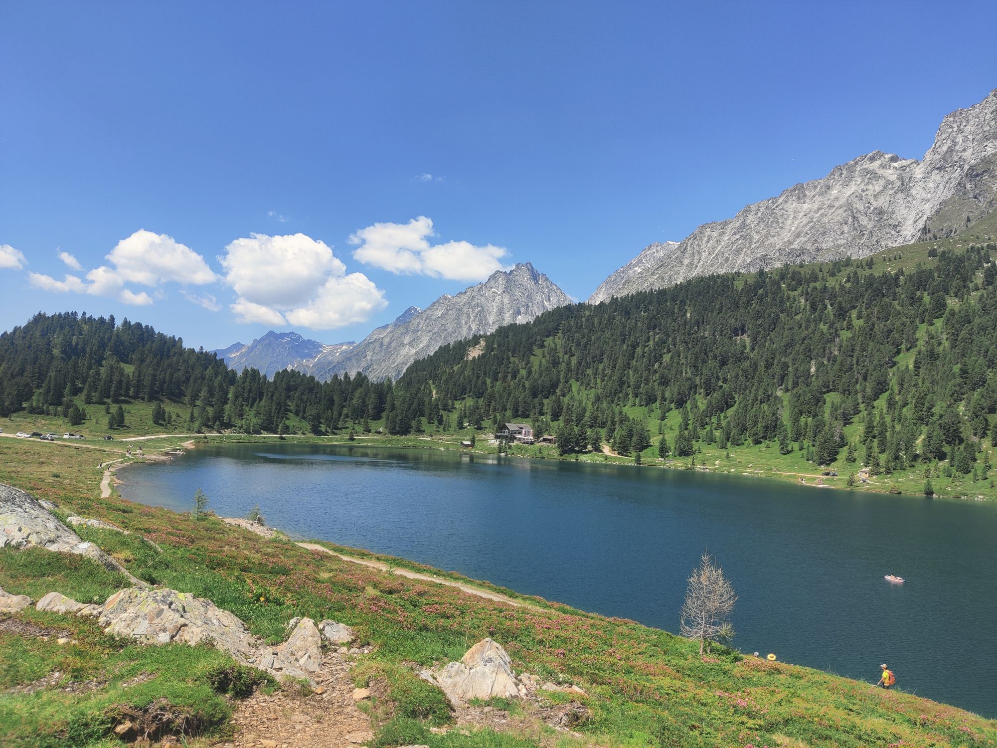
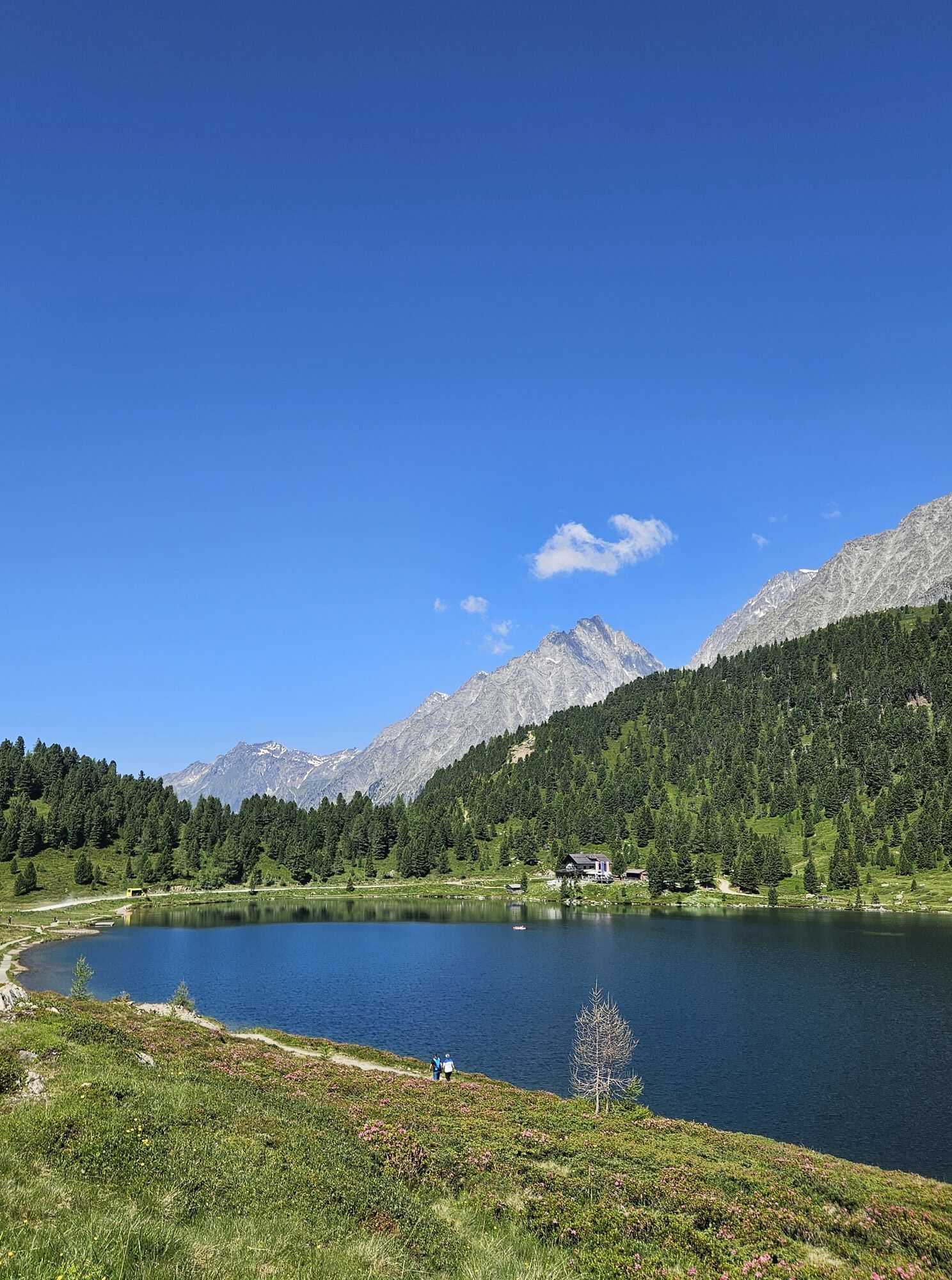
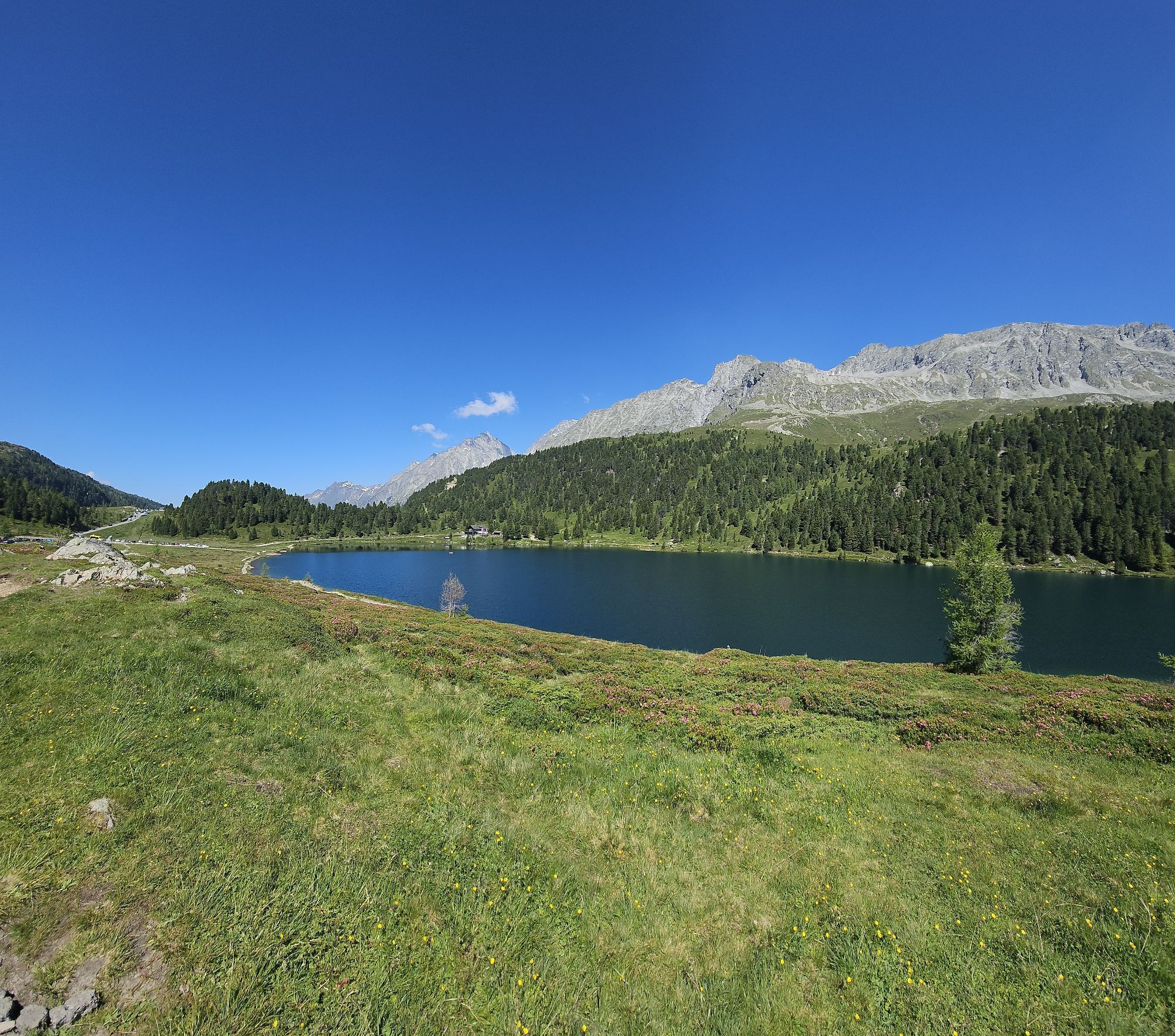
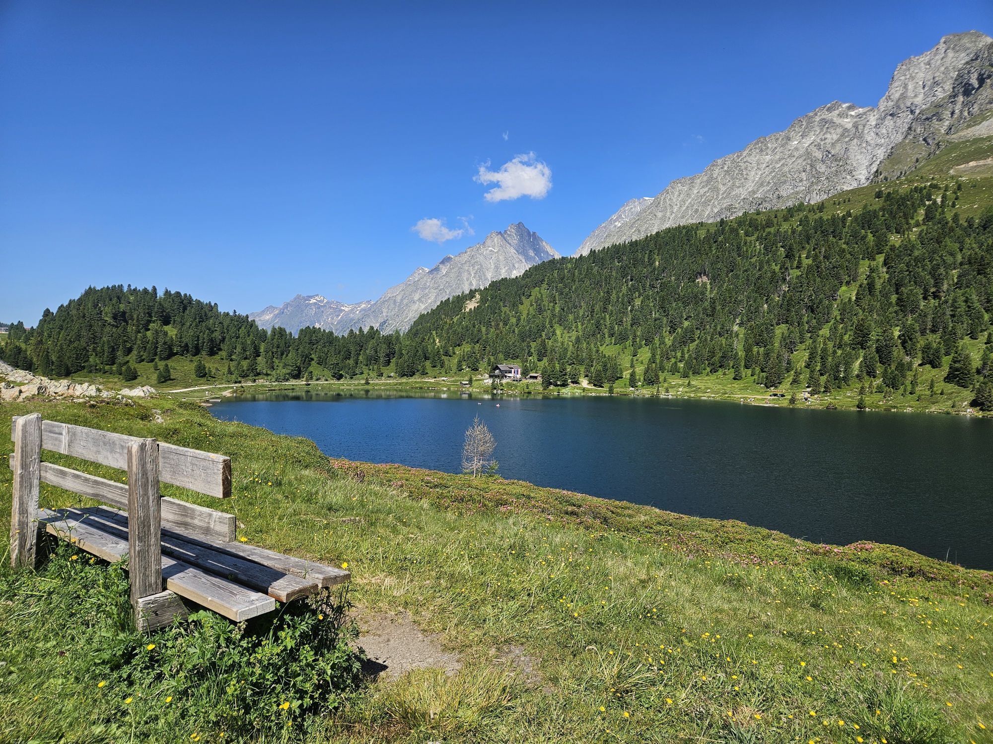


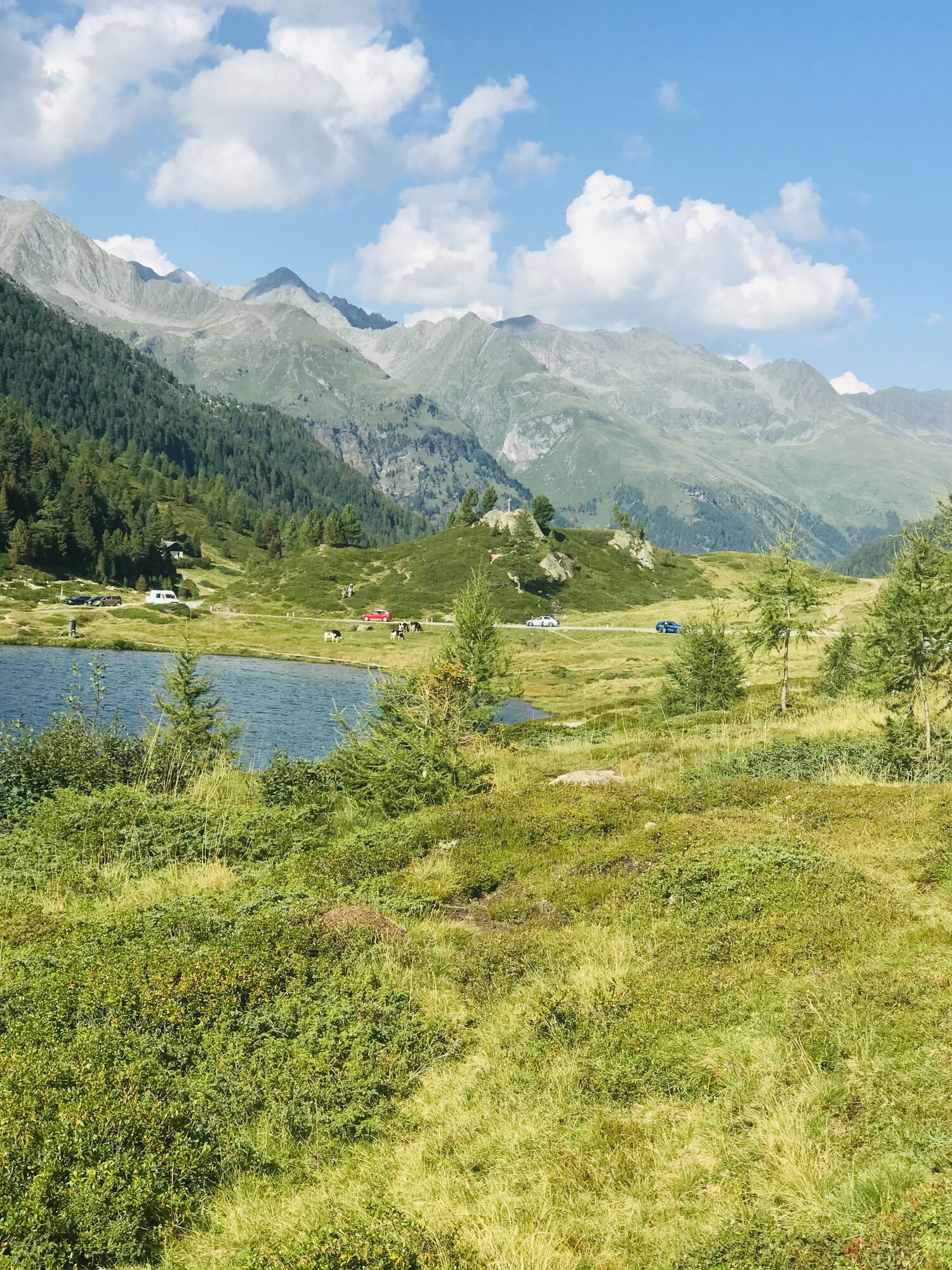
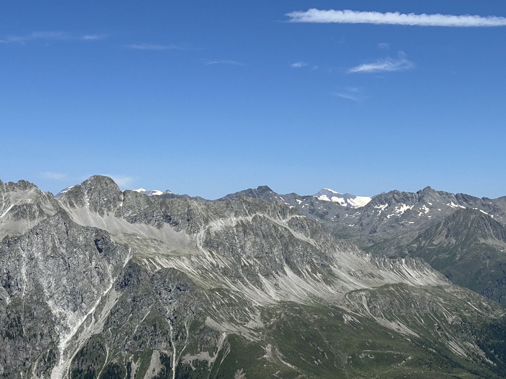
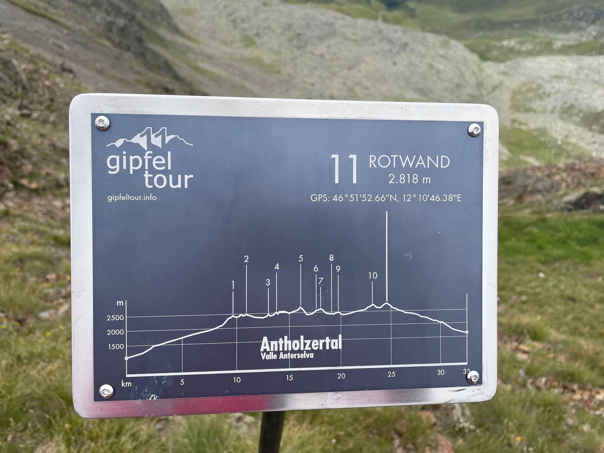
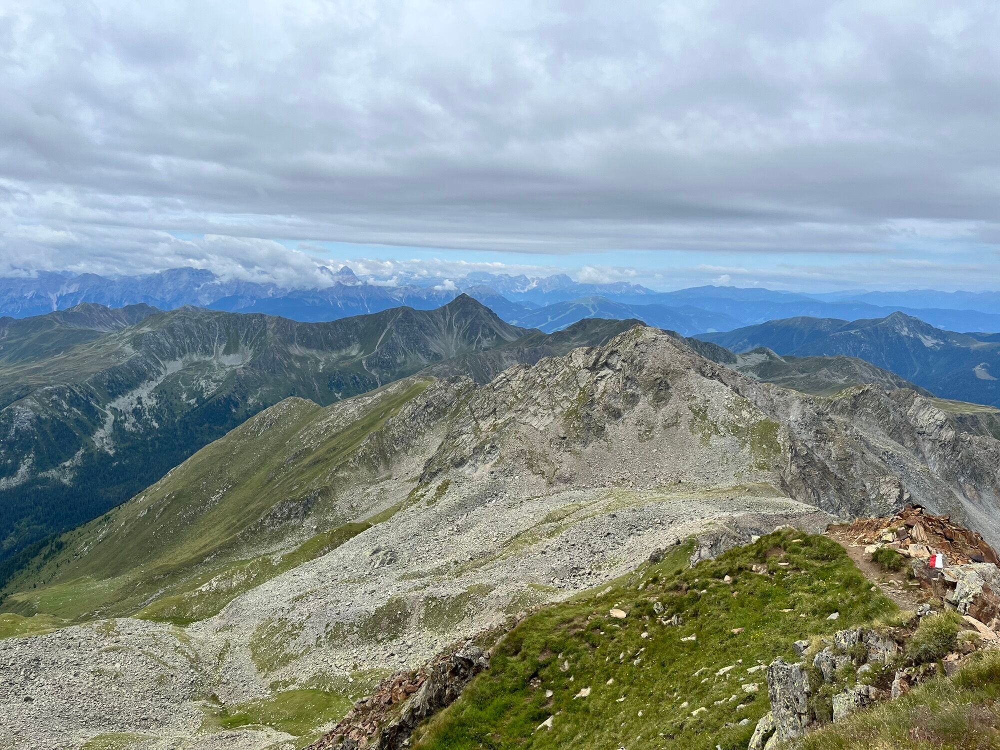
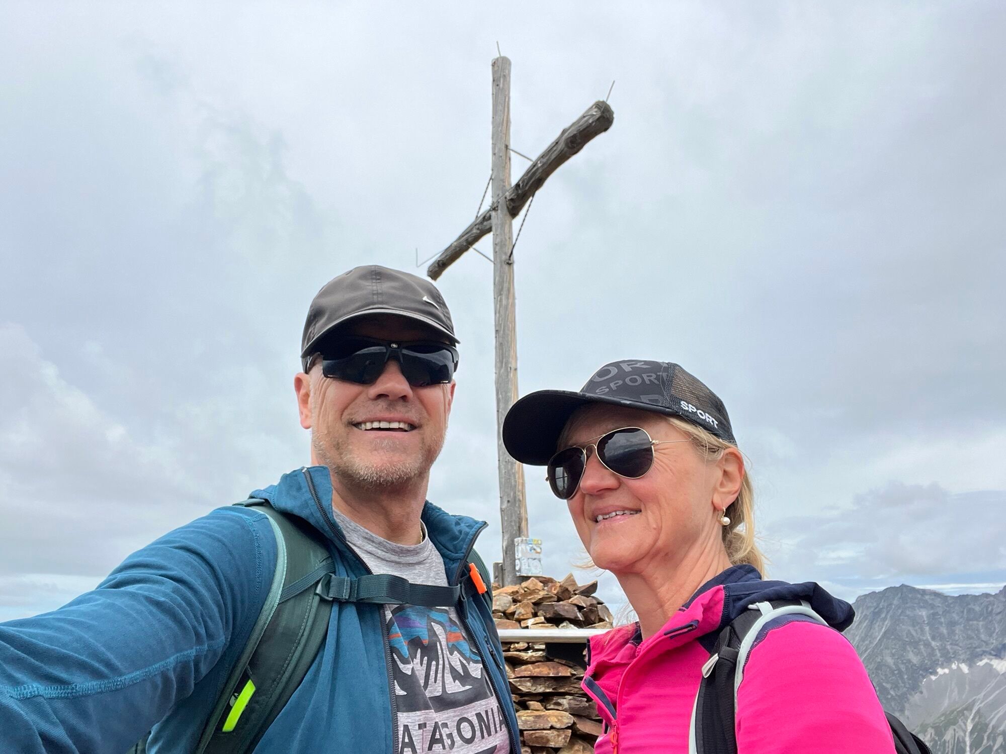
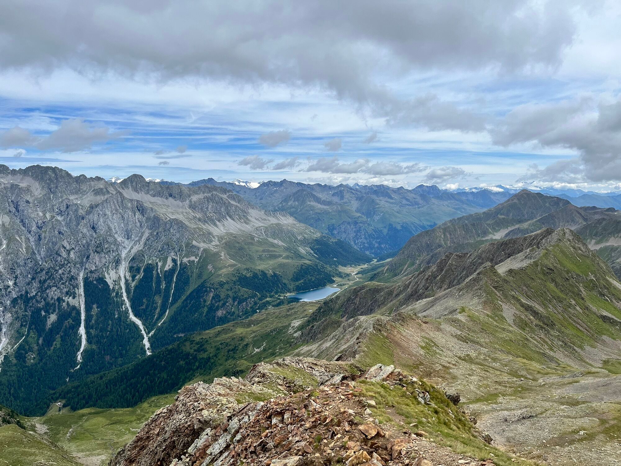
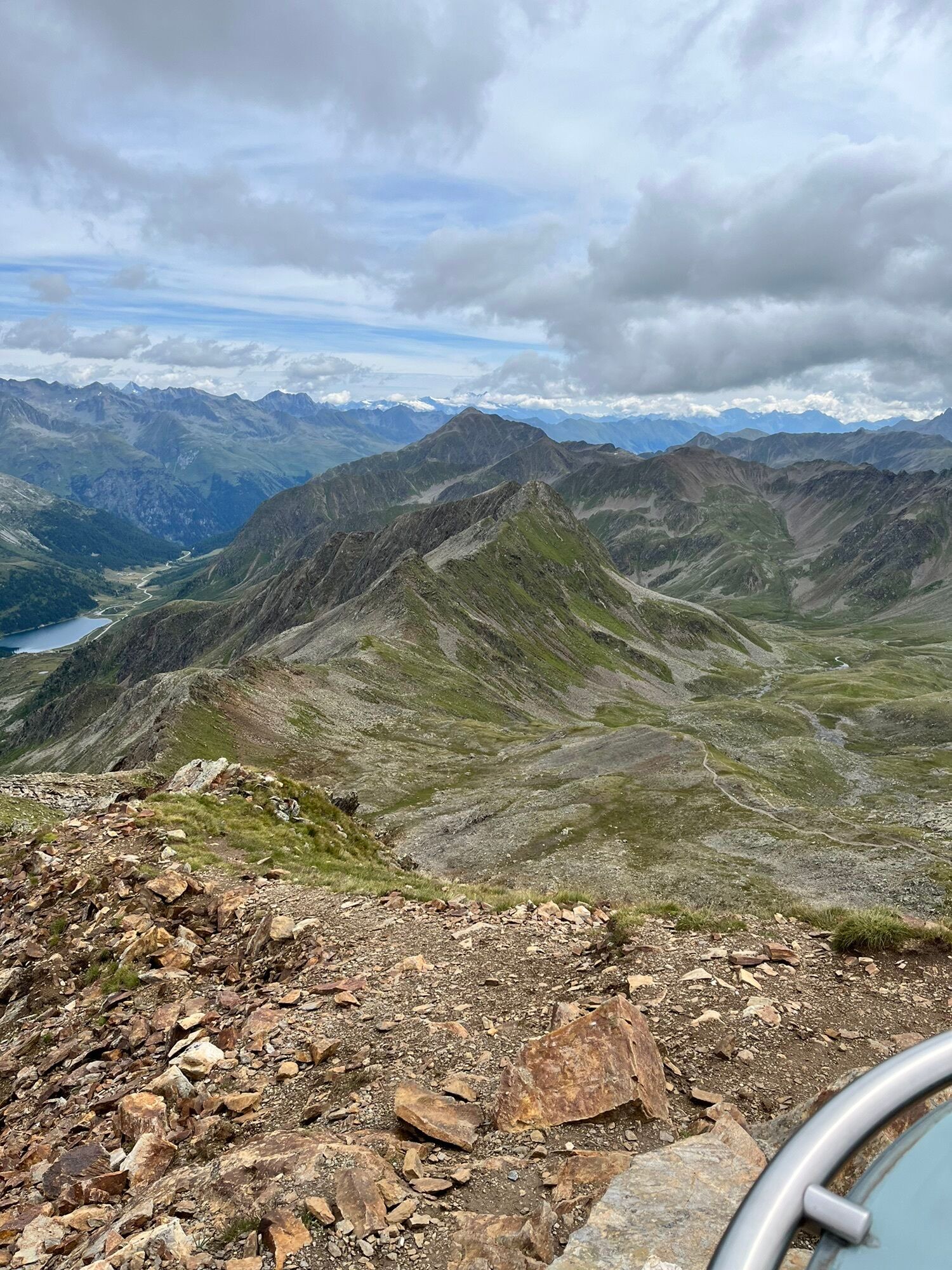
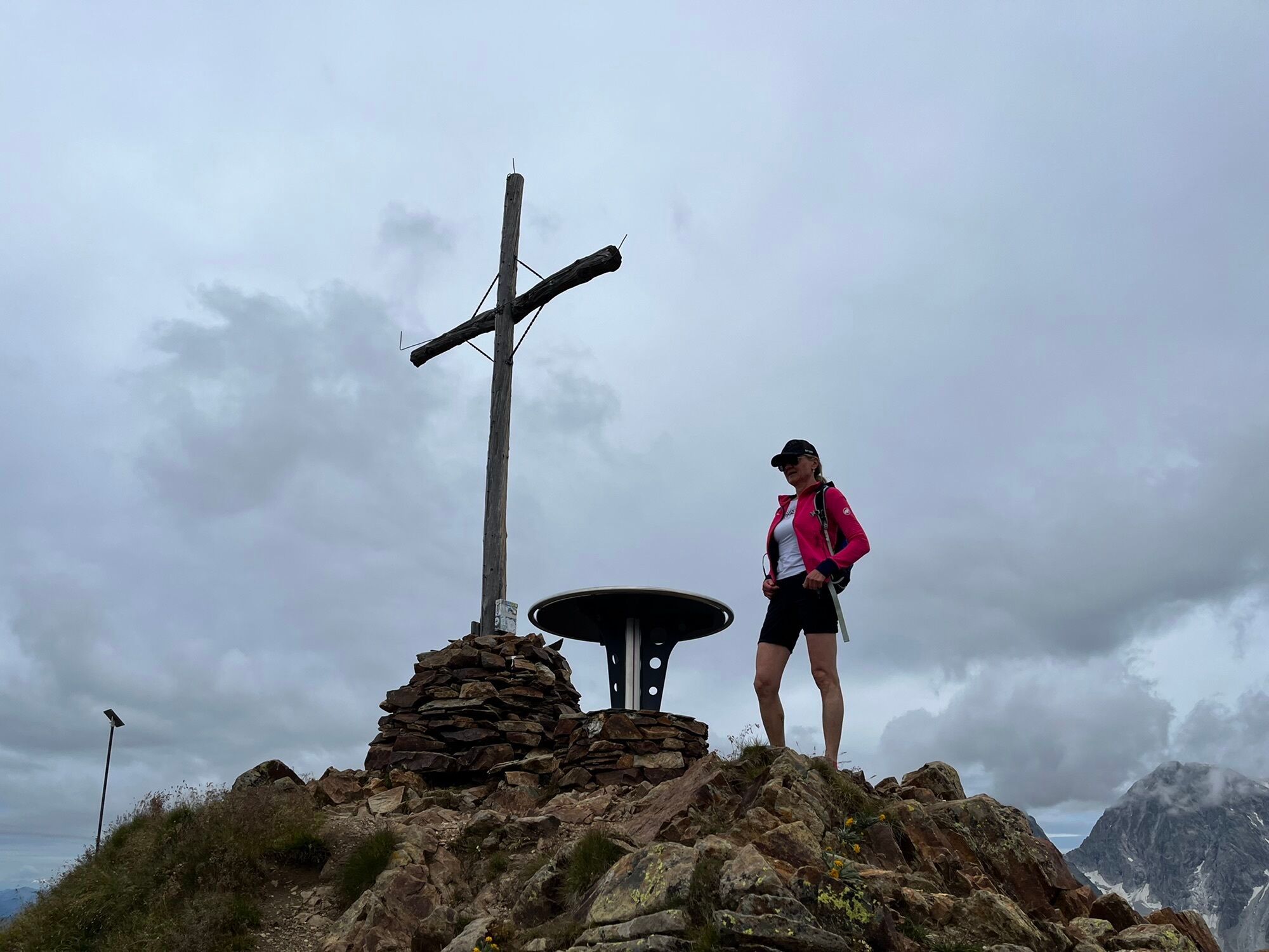
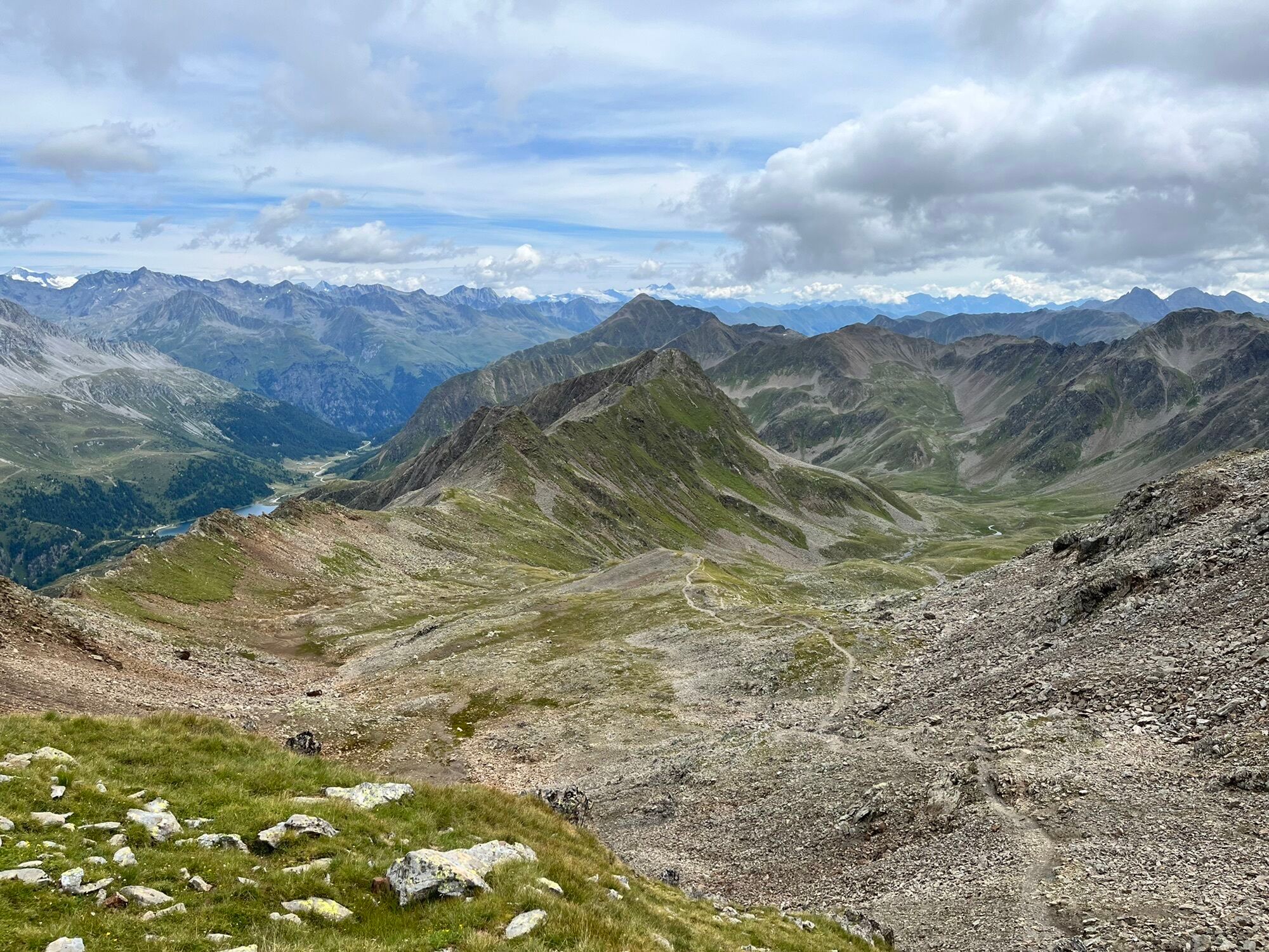
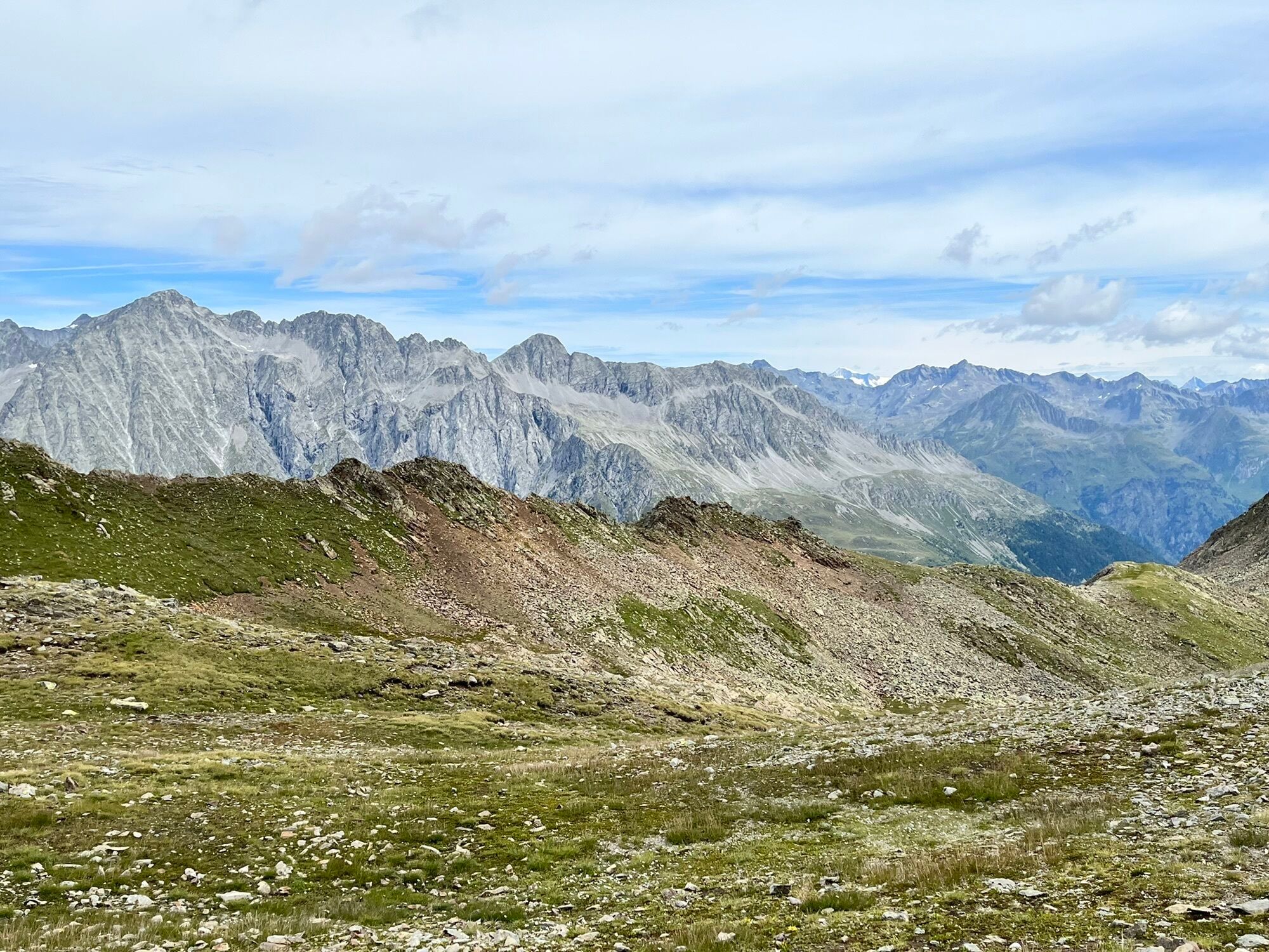
The Rote Wand is one of the popular, much undertaken ski tours in the Staller Sattel area and via its wide trough terrain is not difficult to scale via the lovely Ackstaller Tal. Only the north-east oriented...
Description
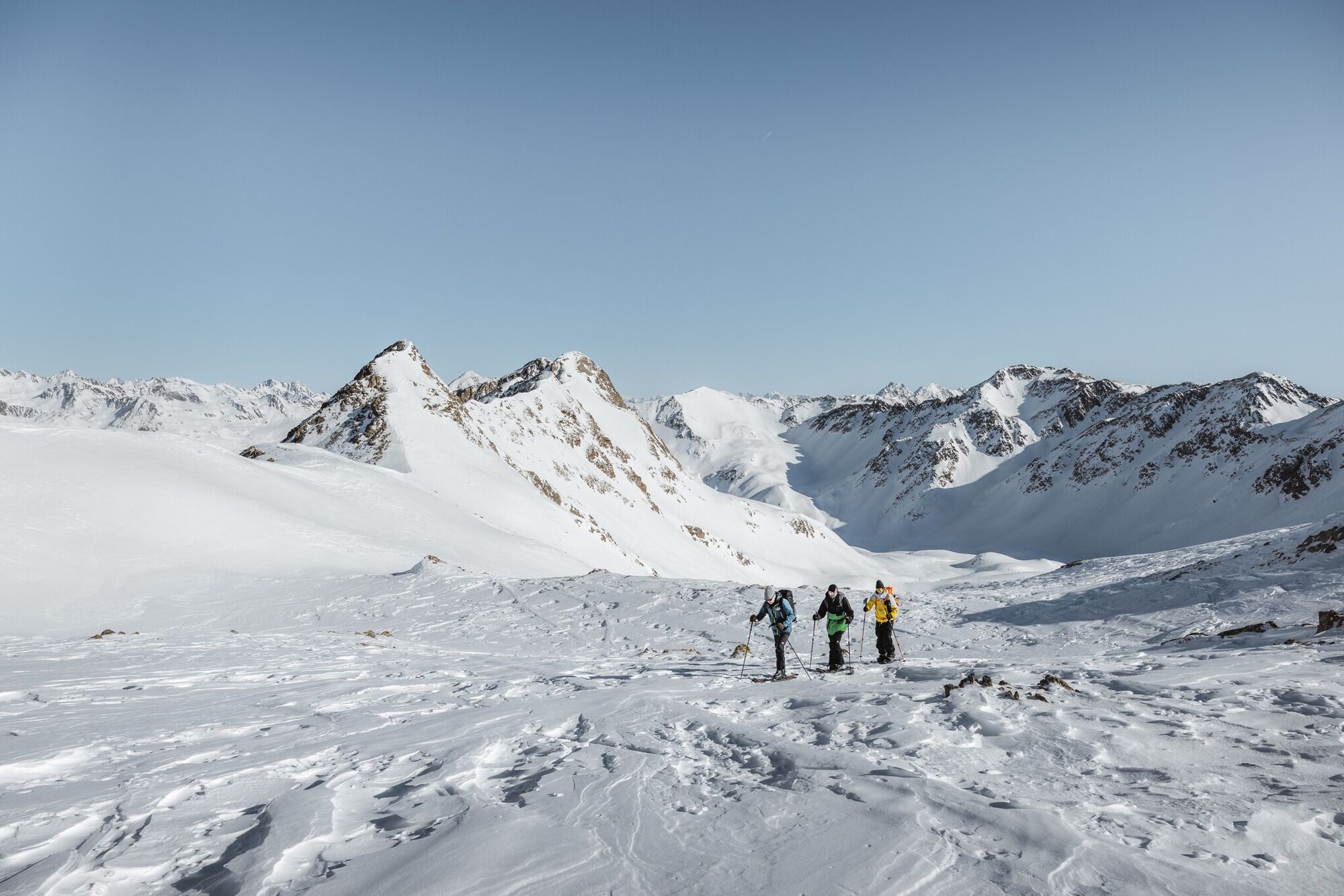
The Rote Wand is one of the popular, much undertaken ski tours in the Staller Sattel area and via its wide trough terrain is not difficult to scale via the lovely Ackstaller Tal. Only the north-east oriented final slope to the summit ridge is somewhat steeper and requires knowledge of how conduct yourself safely in the event of avalanche.
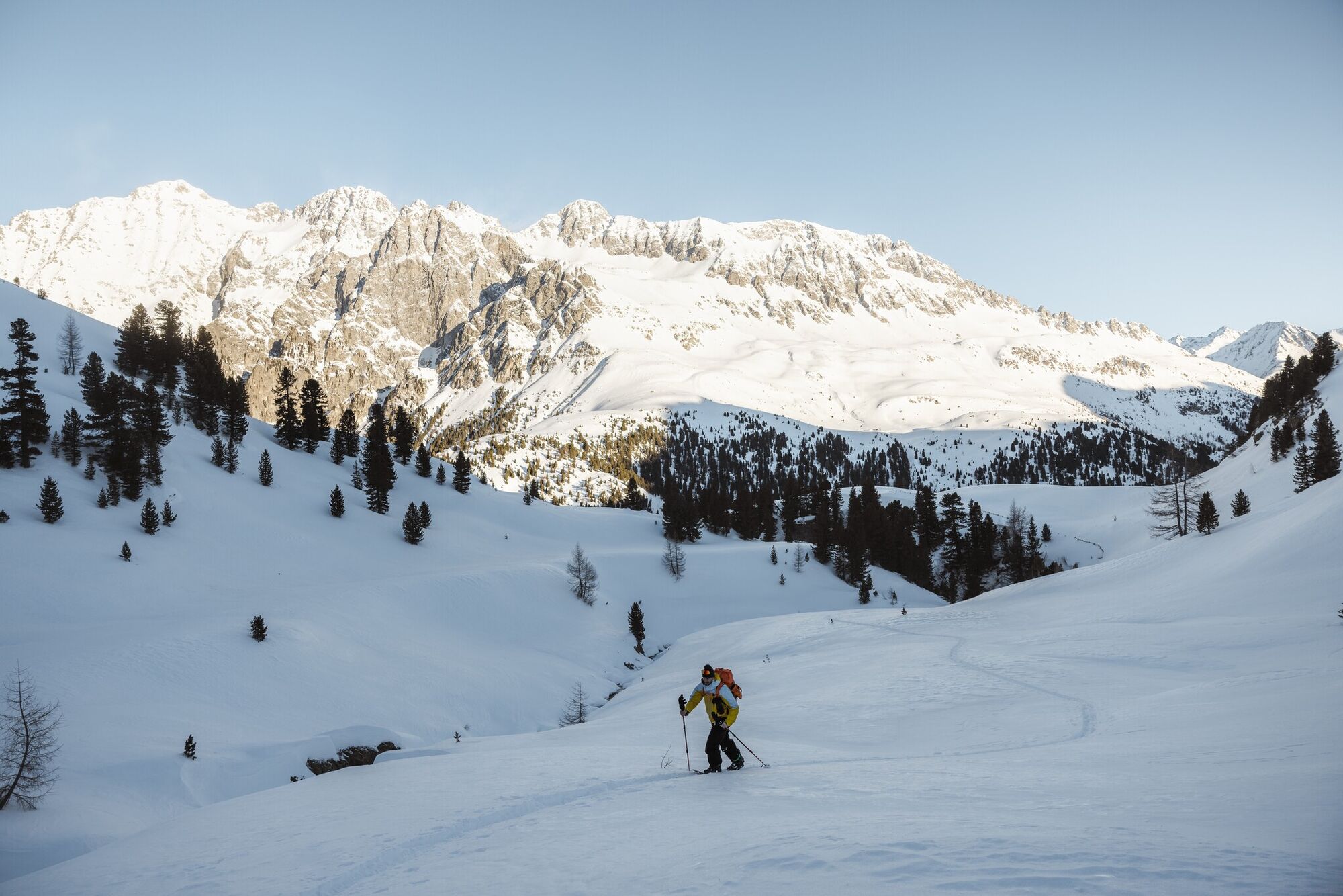
Starting point is Staller Sattel. Even though the crossing is closed to traffic in the winter, the ascent area is cleared which means that there are wonderful tour options. Unfortunately the area is prone to be windy which means that good snow quality cannot always be expected. From the car park at the end of the road we follow the slope in a westerly direction to the border crossing area (2050 m). We now make our way via ski-friendly terrain to the south in the bendy Ackstaller Tal. Flat trough system to the Rote Wand. Via a wide trough we now keep to the south ridge which we access via a short steep slope to the left of the summit (NO, 30°). It is just a short walk, depending on the conditions, with or without skis, up to the highest point (2 ½ - 3 hours from the saddle). Descent along the ascent track or via the steep, north-facing, exposed slopes to the Montalalmen (< 30°) and continuing to the South Tirol section of the road to the Staller Sattel. For this descent knowledge of how conduct yourself safely in the event of avalanche is absolutely required. After donning ski skins again, we proceed along the road back to the starting point.Additional ski tour tips can be obtained in the ski tour guides by Thomas Mariacher. These are available here: http://www.grafikzloebl.at/verlag/buecher/
Starting point is Staller Sattel. Even though the crossing is closed to traffic in the winter, the ascent area is cleared which means that there are wonderful tour options. Unfortunately the area is prone to be windy which means that good snow quality cannot always be expected. From the car park at the end of the road we follow the slope in a westerly direction to the border crossing area (2050 m). We now make our way via ski-friendly terrain to the south in the bendy Ackstaller Tal. Flat trough system to the Rote Wand. Via a wide trough we now keep to the south ridge which we access via a short steep slope to the left of the summit (NO, 30°). It is just a short walk, depending on the conditions, with or without skis, up to the highest point (2 ½ - 3 hours from the saddle). Descent along the ascent track or via the steep, north-facing, exposed slopes to the Montalalmen (< 30°) and continuing to the South Tirol section of the road to the Staller Sattel. For this descent knowledge of how conduct yourself safely in the event of avalanche is absolutely required. After donning ski skins again, we proceed along the road back to the starting point.Additional ski tour tips can be obtained in the ski tour guides by Thomas Mariacher. These are available here: http://www.grafikzloebl.at/verlag/buecher/
Parcours
Lackenstüberl
(1 983 m)
Restaurant
0,0 km
Rote Wand - Croda Rossa
(2 818 m)
Sommet
6,1 km
Parcours
Ski tour Rote Wand 2.818m
facile
Ski de randonnée
6,12
km
Lackenstüberl
(1 983 m)
Restaurant
0,0 km
Rote Wand - Croda Rossa
(2 818 m)
Sommet
6,1 km


Informations sur l'itinéraire
Itinéraire
Anfahrt:Von Norden über Kitzbühel und den Pass Thurn nach Mittersill. Weiter durch den Felbertauerntunnel, an Matrei vorbei Richtung Lienz. Bei Huben biegt man rechts ab ins Defereggental und fährt über St. Jakob nach Mariahilf. Hier rechts (ausgeschildert) zum Staller Sattel. Bitte Hinweise zur Straßenöffnung beachten!
Transports en commun
St. Jakob i.D. Staller Sattel
Parking
Parkplatz Alpengasthaus Obersee
Évaluations
 Obtenez un aperçu
Toujours en direct avec plus de 9.500 webcams. En tant qu'utilisateur Pro, vous pouvez désormais voir les webcams correspondantes à de nombreuses randonnées dans l'application de randonnées de bergfex. Vous pouvez ainsi voir directement les conditions actuelles.
Obtenez un aperçu
Toujours en direct avec plus de 9.500 webcams. En tant qu'utilisateur Pro, vous pouvez désormais voir les webcams correspondantes à de nombreuses randonnées dans l'application de randonnées de bergfex. Vous pouvez ainsi voir directement les conditions actuelles.
Parcours populaires à proximité
-
4,6
Mountain hike to Mountain „Lutterkopf and Durakopf (2145/2275m)“
moyenRandonnée en montagne 11,8 km -
4,8
Antholzer See - Steinzger Alm
moyenRandonnée 7,48 km -
4,7
Rund um den Antholzer See
facileRandonnée 4,27 km -
4,9
Oberhausalm - Jagdhaushütte
facileRandonnée 14,0 km -
4,6
Rote Wand
moyenRandonnée d'altitude 12,0 km -
4,8
Von Kalkstein auf das Toblacher Pfannhorn (2.663 m) und Marchkinkele
moyenRandonnée 14,2 km -
4,3
Seespitze
moyenRandonnée 13,7 km -
5,0
Trojertal, Hintere Trojeralm
facileRandonnée 8,97 km -
4,8
Klammljoch - Defereggental No. 102
moyenVTT 21,9 km -
4,8
Zur Jagdhausalm - Defreggental
moyenVTT 26,2 km
Randonnée et suivi

Plus de 550.000 propositions de circuits, des cartes détaillées et un planificateur d'itinéraire intuitif font de cette application un must pour tous les passionnés de nature.

Ne manquez pas les offres et l'inspiration pour vos prochaines vacances
S'inscrire à la newsletter
Erreur
Une erreur s'est produite. Veuillez réessayer.
Merci pour votre inscription
Votre adresse électronique a été ajouté à la liste de diffusion.
Parcours en Europe
Autriche
Suisse
Allemagne
Italie
Slovénie
France
Pays-Bas
Belgique
Pologne
Liechtenstein
République tchèque
Slovaquie
Espagne
Croatie
Bosnie-Herzégovine
Luxembourg
Andorre
Portugal
Islande
Royaume-Uni
Irlande
Grèce
Albanie
Macédoine du Nord
Malte
Norvège
Monténégro
Moldavie
Kosovo
Hongrie
Saint-Marin
Roumanie
Estonie
Lettonie
Bélarus
Chypre
Lituanie
Serbie
Bulgarie
Monaco
Danemark
Suède
Finlande





