






Snowshoeing "Above the sunny village of Virgen"
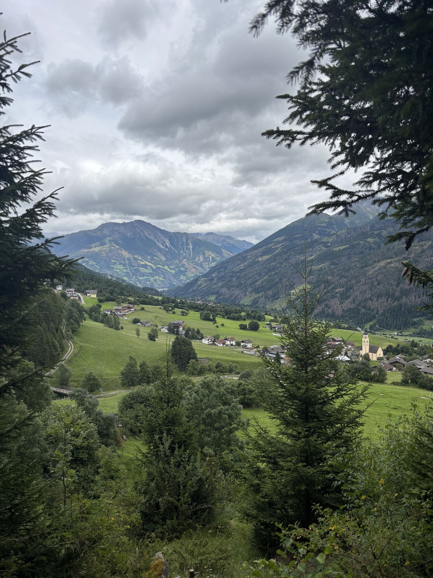
This hike promises almost 2 hours of pure winter enjoyment. It starts at the car park Marin (1.410m) in the district Obermauern. First you follow the wide forest road above the large stone wall. The first...
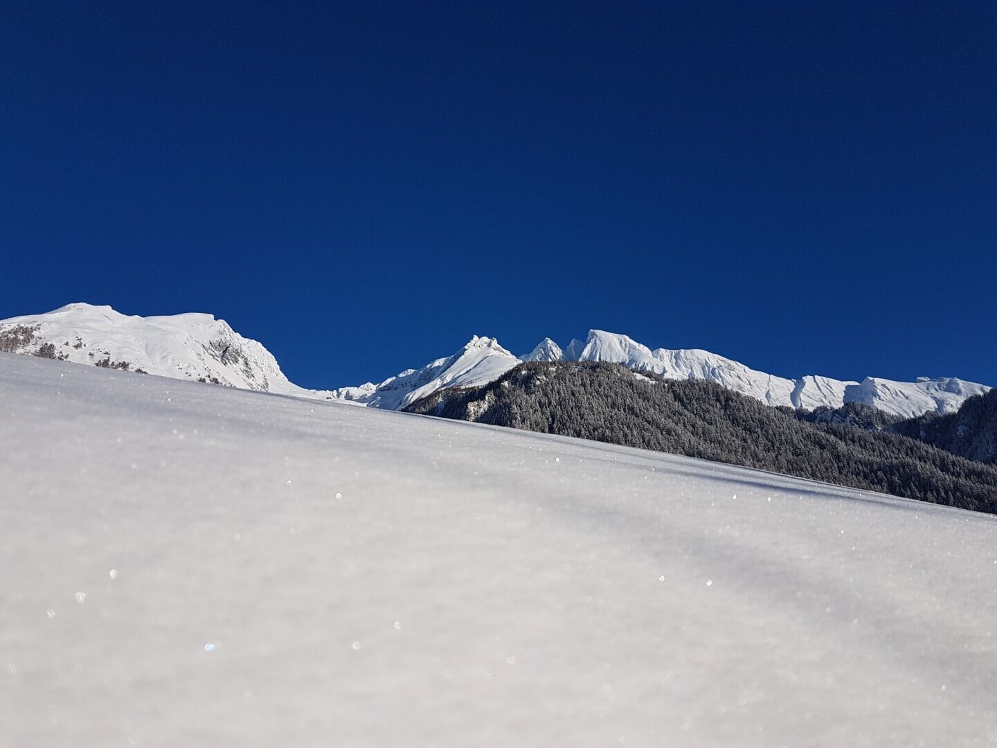
This hike promises almost 2 hours of pure winter enjoyment. It starts at the car park Marin (1.410m) in the district Obermauern. First you follow the wide forest road above the large stone wall. The first 1.5km offer numerous spots, where you can enjoy a unique view of Virgen and the Lasörlinggruppe. At the bridge you turn right and follow a narrow, quite steep passage. After 500m and several serpentines you reach the wide forest road, which at the same time leads into the Nilltal. On the left you can follow the forest road to the Nilljochhütte - please pay attention to the avalanche situation! After a total of 3.1km, you will return to the starting point via the path on the right.


Bus stop Virgen Abzw. Obermauern
Car park Marin
Obtenez un aperçu
Toujours en direct avec plus de 9.500 webcams. En tant qu'utilisateur Pro, vous pouvez désormais voir les webcams correspondantes à de nombreuses randonnées dans l'application de randonnées de bergfex. Vous pouvez ainsi voir directement les conditions actuelles.
Parcours populaires à proximité
-
4,8
NaturKraftWeg Umbalfälle
facileChemin thématique 5,99 km -
4,1
Gletscherlehrweg Innergschlöß
moyenRandonnée 9,36 km -
4,5
Circular hike Proßeggklamm
moyenRandonnée 8,41 km -
4,6
Vom Matreier Tauernhaus über die Felsenkapelle nach Innergschlöss
facileRandonnée 9,19 km -
4,8
Rotenkogel
difficileRandonnée 4,22 km -
4,8
Stoden - Clarahütte
moyenRandonnée 7,12 km -
4,8
Circular hike suspension bridge Isel Canyon via "Hohe Bank"
moyenRandonnée 8,11 km -
4,7
Wiesbauerspitze 2.767 m
moyenRandonnée 9,66 km -
4,3
Seespitze
moyenRandonnée 13,7 km -
4,8
Adlerlounge Europapanoramaweg
moyenRandonnée 6,86 km
Randonnée et suivi


Ne manquez pas les offres et l'inspiration pour vos prochaines vacances
Votre adresse électronique a été ajouté à la liste de diffusion.





