






19 - Short and Long Ground
Photos de nos utilisateurs
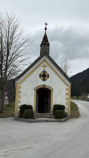
 © Peter ZabranskyCréé le 15.03.2026
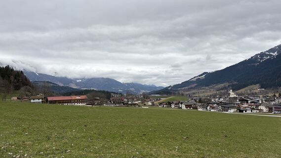 © Peter ZabranskyCréé le 15.03.2026
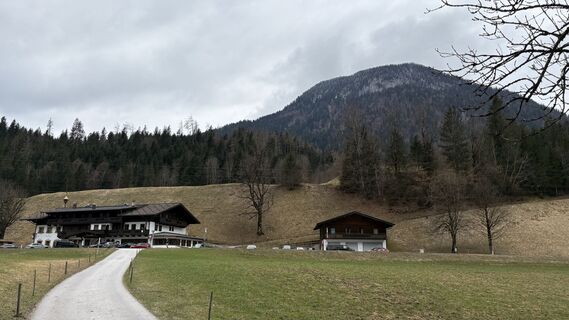 © Peter ZabranskyCréé le 15.03.2026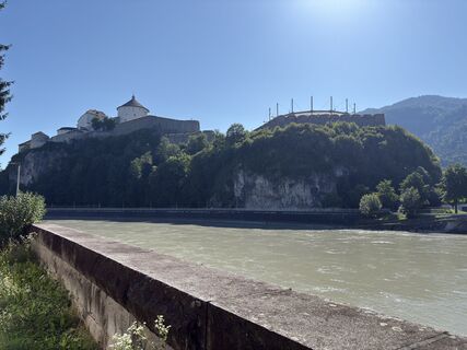
 © Daniel UnterlechnerCréé le 19.07.2025
 © Ernst PürimayrCréé le 20.06.2025
 © Ernst PürimayrCréé le 20.06.2025
 © Peter LinzmaierCréé le 06.08.2024
 © Sven KrieblinCréé le 01.05.2025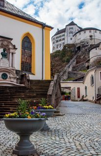
 © Jakob VidlerCréé le 03.04.2023
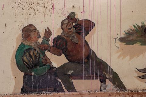 © Jakob VidlerCréé le 03.04.2023
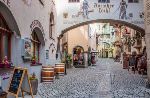 © Jakob VidlerCréé le 03.04.2023
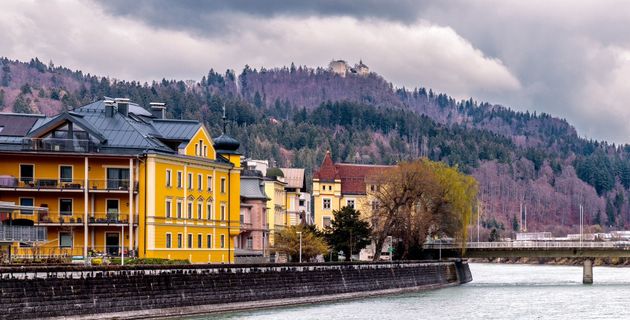 © Jakob VidlerCréé le 03.04.2023
 © Jakob VidlerCréé le 03.04.2023
 © Jakob VidlerCréé le 03.04.2023
 © Chnorli-FurzCréé le 12.08.2020
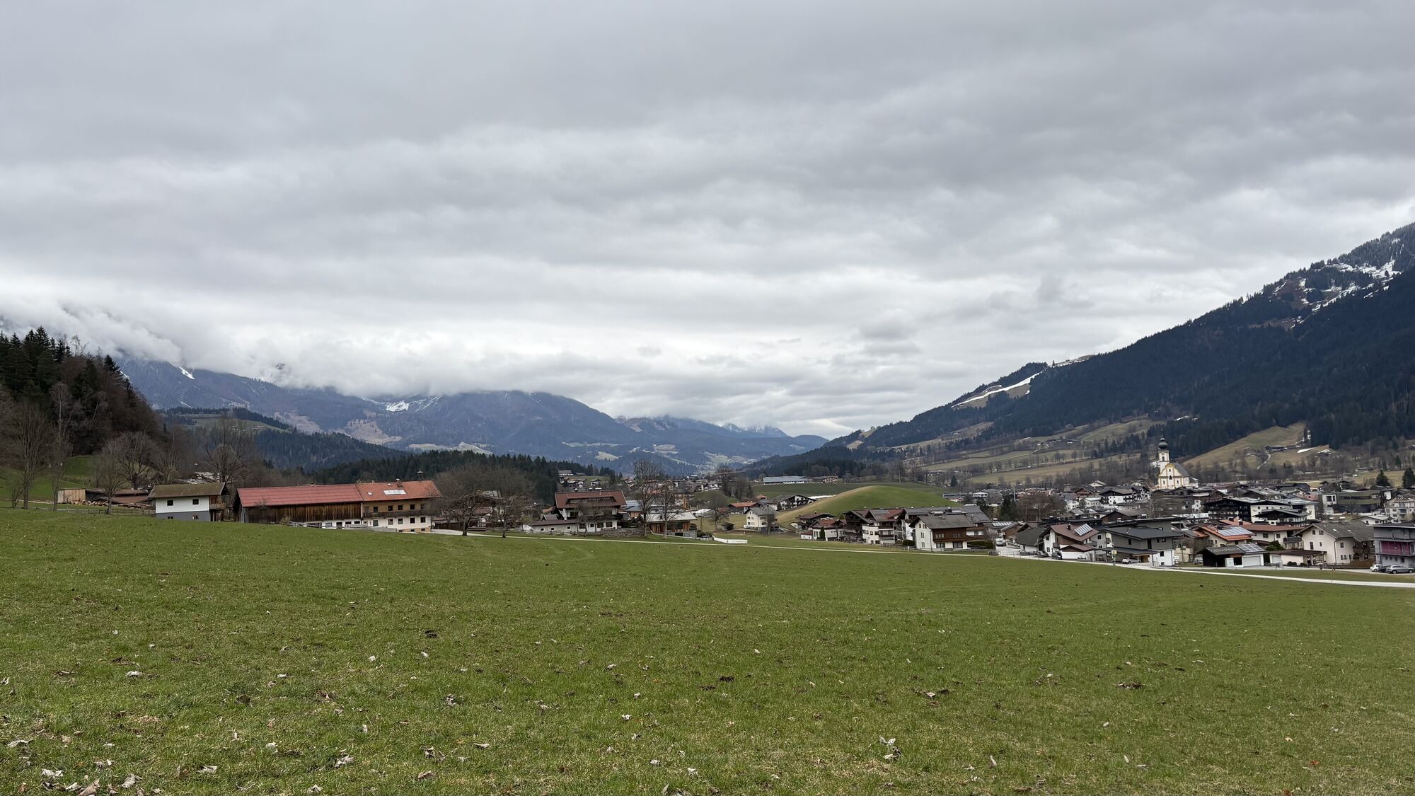
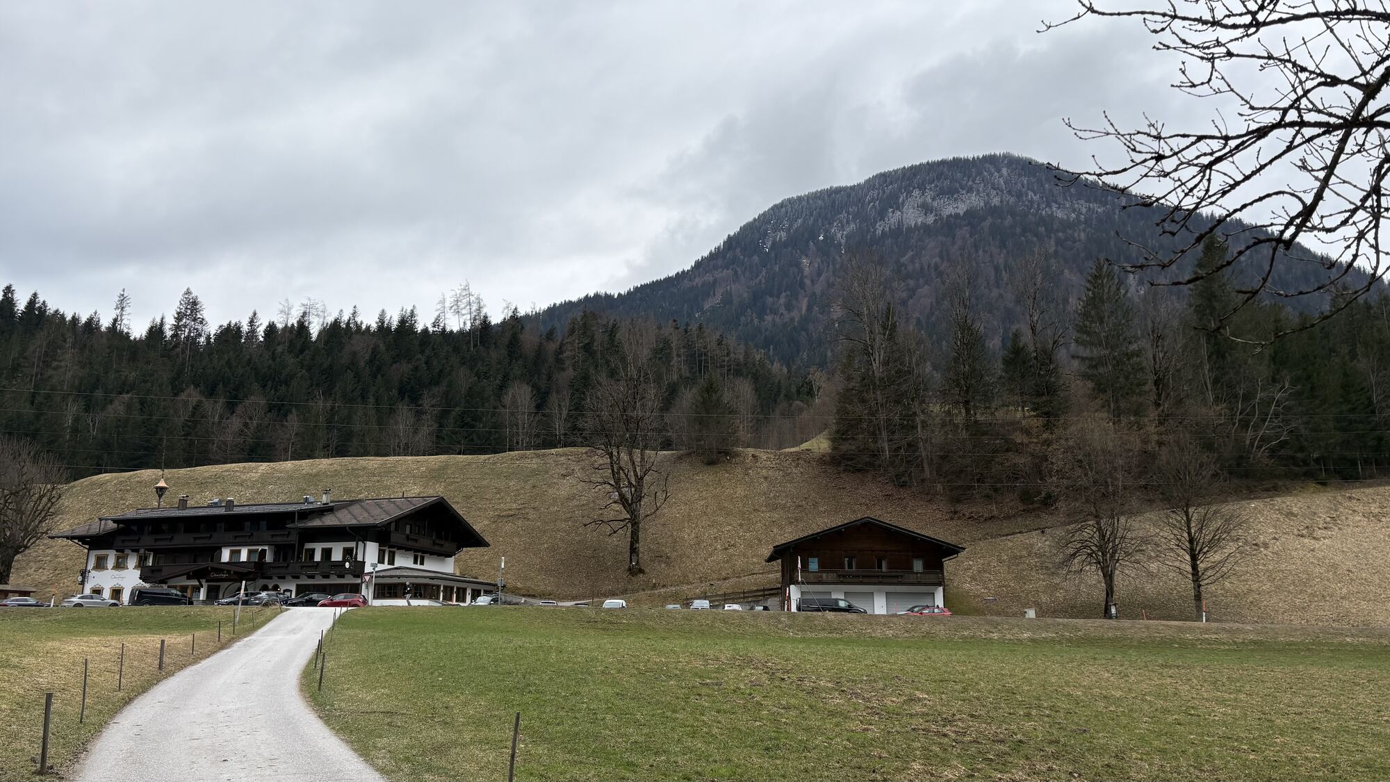
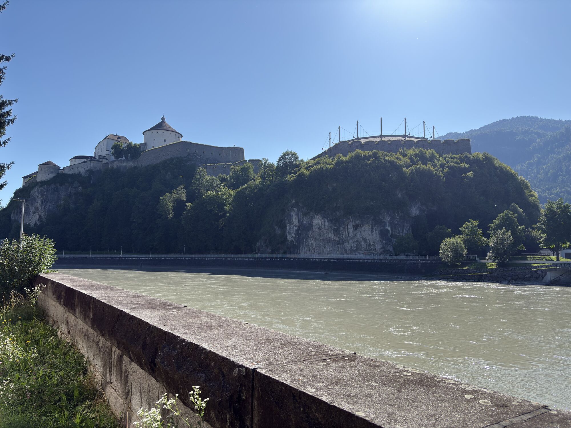
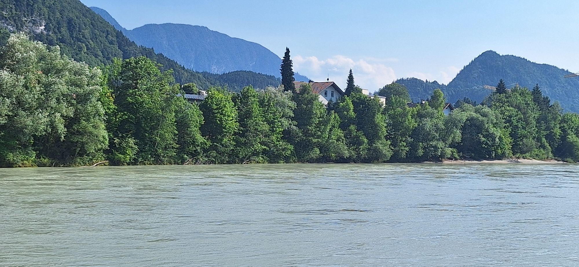
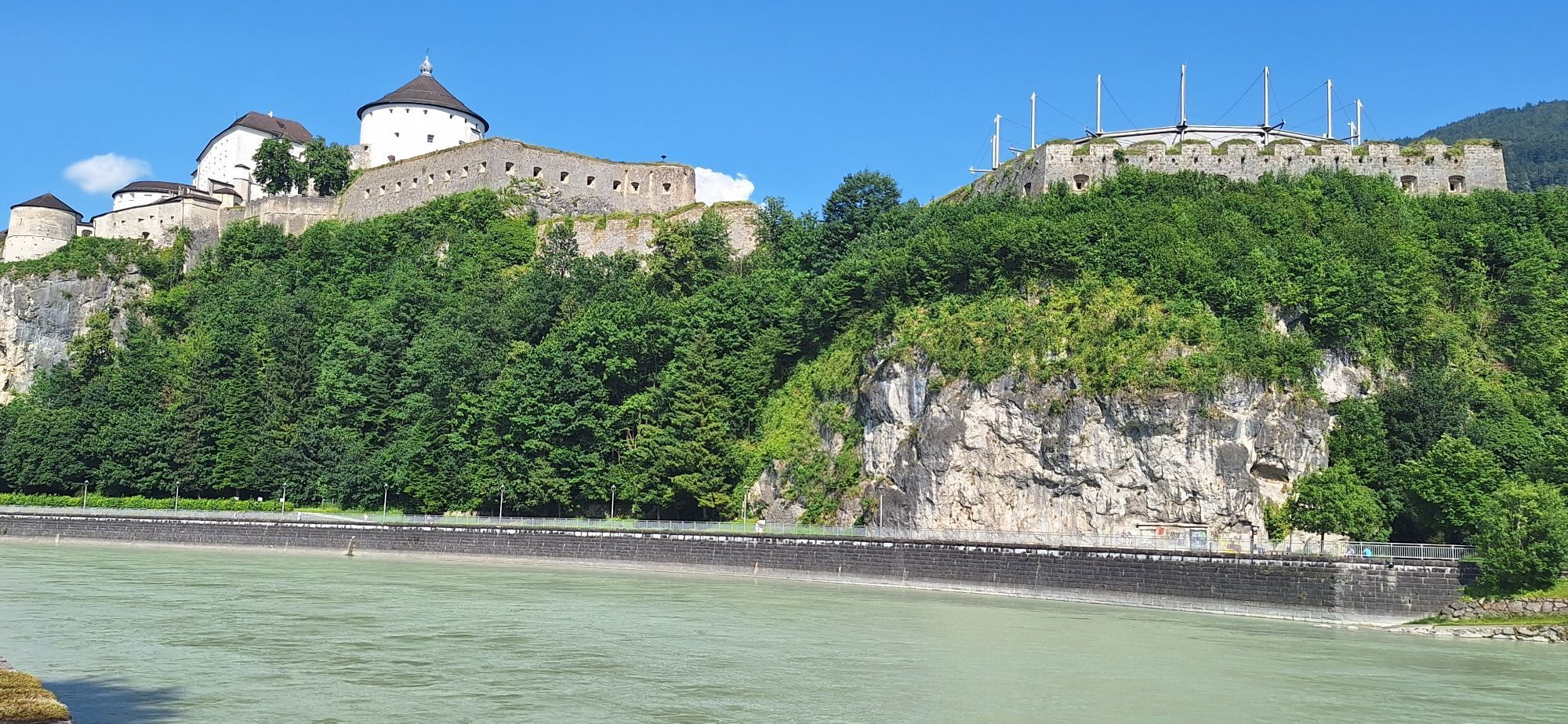
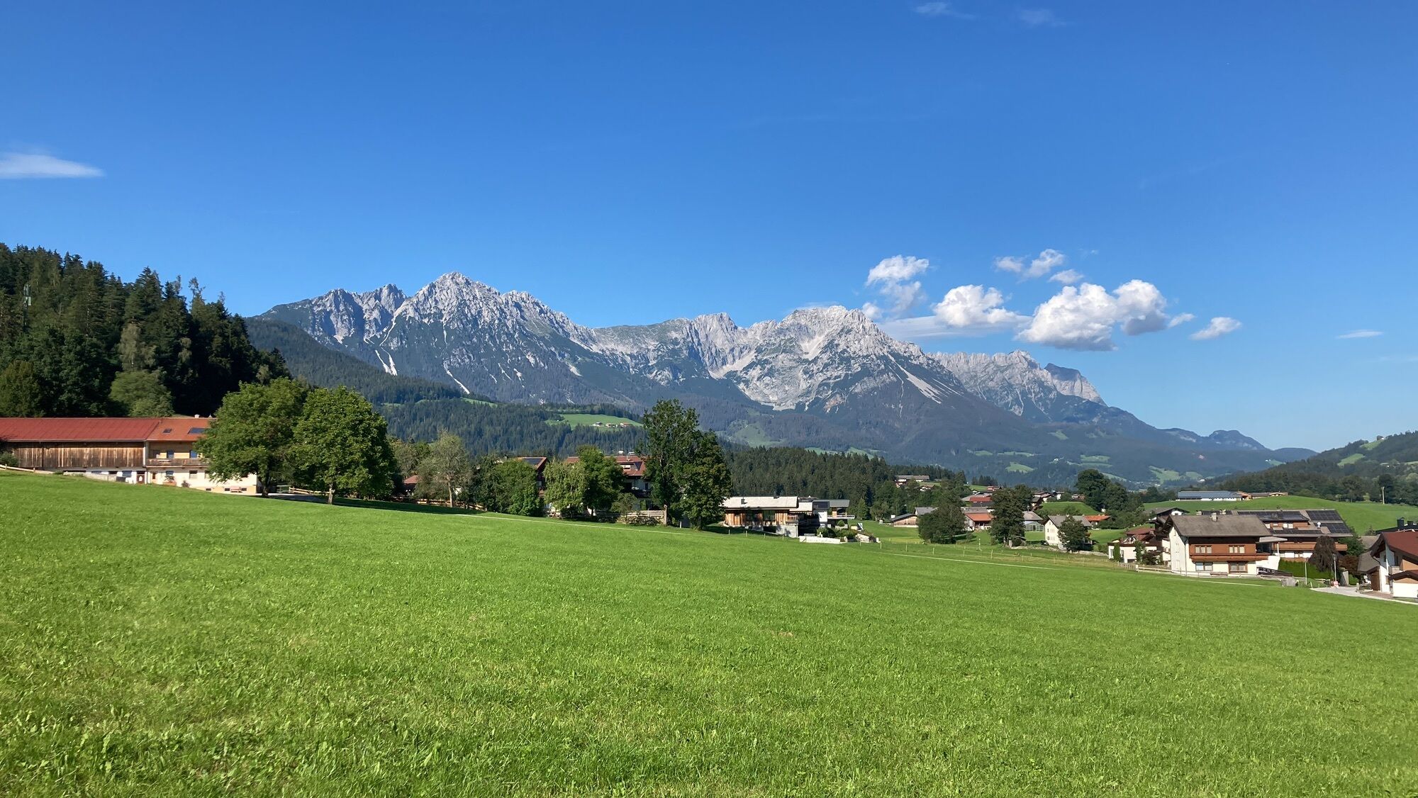
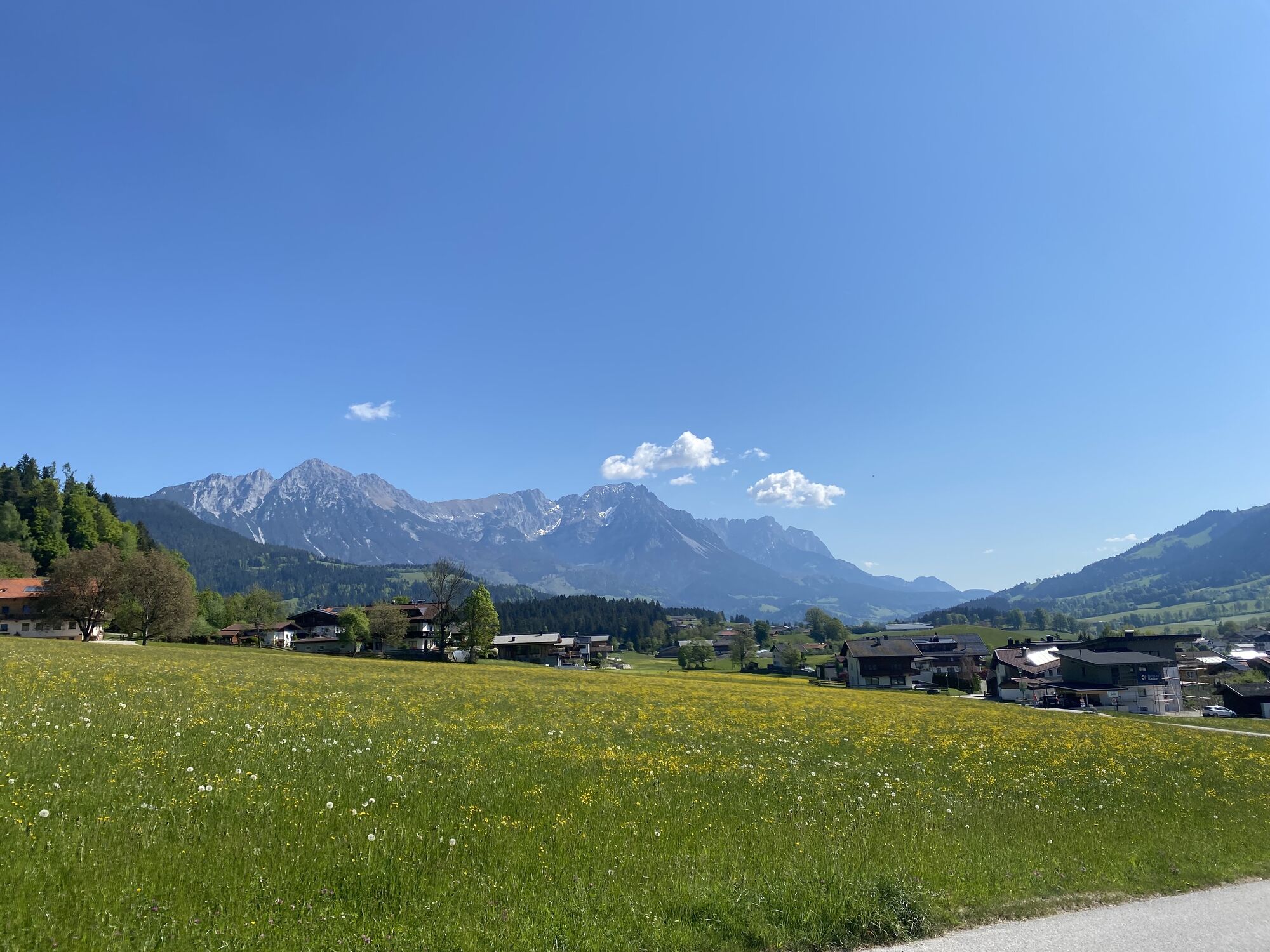
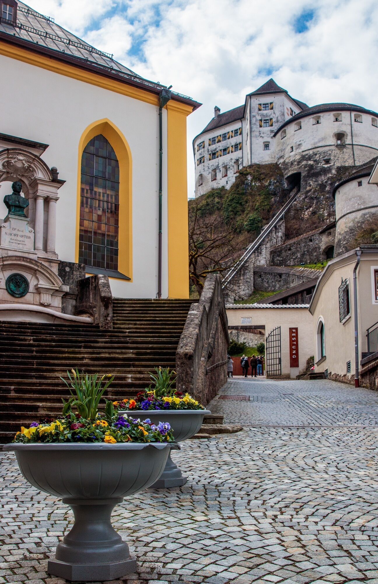

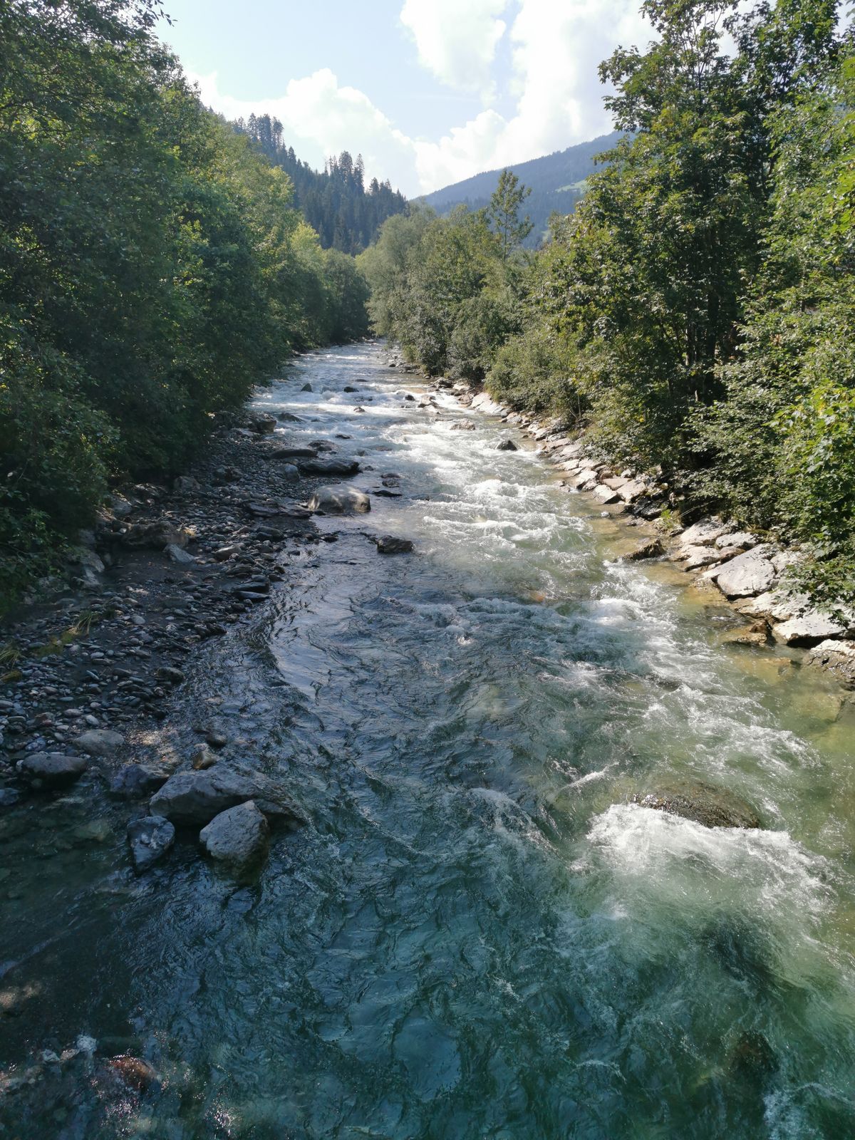
A beautiful tour off the beaten track, the two quiet high valleys of Kurzer and Langer Grund.
Route:
From Kufstein it goes along the Innradweg to Kirchbichl. Then keep left towards Hopfgarten. On the old...
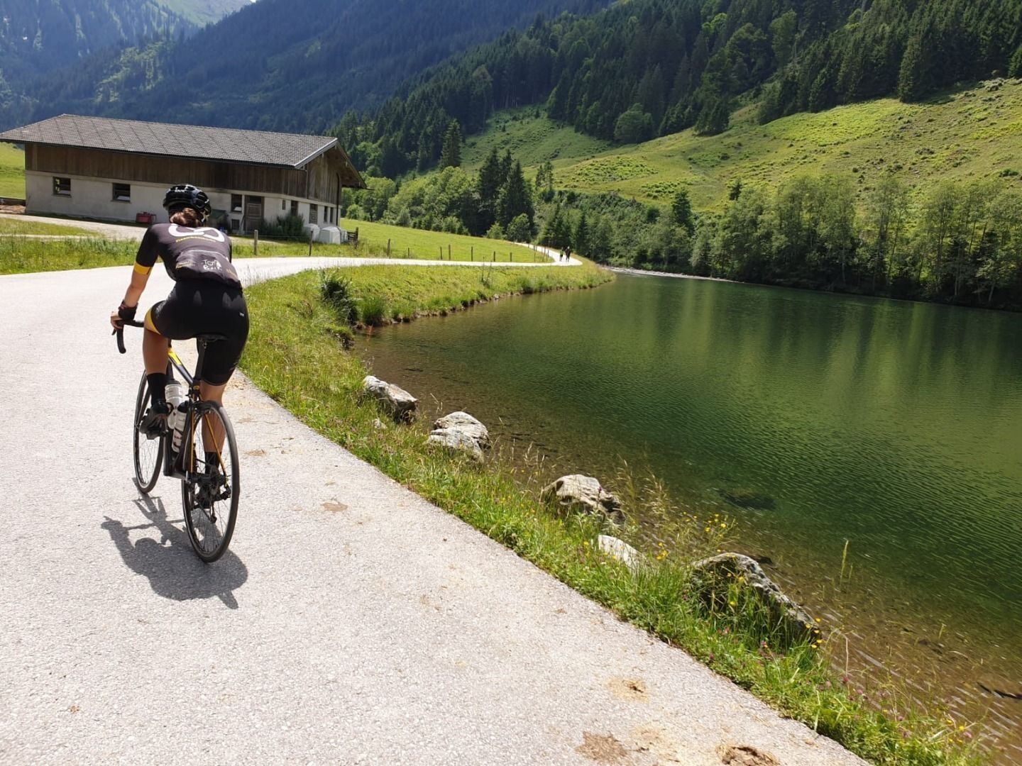
A beautiful tour off the beaten track, the two quiet high valleys of Kurzer and Langer Grund.
Route:
From Kufstein it goes along the Innradweg to Kirchbichl. Then keep left towards Hopfgarten. On the old Brixental road you pass through the first village in the Brixental. Continue along the main road, through the railway underpass and then straight on from the main road towards Kelchsau. From here continue along the road until you finally reach the toll station. Here you can decide which of the two valleys to tackle first. Afterwards you go back the same way. Via a small detour, you can still "take" a very steep ascent over the Glantersberg. The way back leads over the higher situated village Itter and Söll and finally the new Eiberg cycle track back to the starting point.

Cycling helmet, comfortable cycling clothing, change of clothes, wind protection, cycling gloves, possibly rucksack with water bottle and food, first aid equipment, possibly service/repair kit, cycling map, tour description and information material (GPX track), ID card, insurance card, cash
From the Inntal motorway A12, take the Kufstein Nord exit.
Kufstein main railway station is only a few minutes' walk from the starting point.
Kufstein centre
Webcams de la tournée
Scheffau
Thiersee - Mitterland - Schneeberglifte
Thiersee - Mitterland - Schneeberglifte
Bergstation Gondelbahn Hochsöll
Thiersee - Mitterland - Schneeberglifte
Markbachjoch 1
Kufstein - Brentenjoch
Thiersee - Mitterland - Schneeberglifte
Pendlinghaus - Kufstein
Pendlinghaus - Kufstein
Markbachjoch 1
Markbachjoch 1
Markbachjoch 1
Markbachjoch 1
Markbachjoch 1
Thiersee - Mitterland - Schneeberglifte
Westendorf - Salvenberg
Söll - Ort
Thiersee - Ticklhof
Übungswiese Westendorf - Apartment Anita
Langlaufzentrum Schwoich
Kleine Salve - Salvistabahn
Festung Kufstein
Obtenez un aperçu Toujours en direct avec plus de 9.500 webcams. En tant qu'utilisateur Pro, vous pouvez désormais voir les webcams correspondantes à de nombreuses randonnées dans l'application de randonnées de bergfex. Vous pouvez ainsi voir directement les conditions actuelles.Parcours populaires à proximité
- 4,5
Über Hintersteinersee und Walleralm aufs Hochegg
facileRandonnée 12,2 km - 4,5
Wanderung um den Hintersteinersee
facileRandonnée 5,29 km - 4,7
Hintersteinersee
moyenRandonnée 9,87 km - 4,5
Route 208: Windautal - Rotwandalm/Filzenscharte
difficileVTT 22,8 km - 4,2
Bergdoktor Wohnhaus "Gruberhof" (Köpfing Hof) Rundeweg-Söll
facileRandonnée 8,70 km - 4,9
Route 209: Brechhornhaus-Choralpe
difficileVTT 24,4 km - 4,8
Rosskopf
facileRandonnée 7,02 km - 4,5
Pendling
moyenRandonnée 8,37 km - 3,7
Brechhorngipfel (2.037m)
moyenRandonnée 11,7 km - 3,8
Wanderung zum Gampenkogel - Kreuzjöchlsee
facileRandonnée 6,10 km
Randonnée et suivi


Ne manquez pas les offres et l'inspiration pour vos prochaines vacances
Votre adresse électronique a été ajouté à la liste de diffusion.





