Naviguer avec l'appli
Télécharge cette visite sur ton portable
Carte
05 - Sudelfeld circuit

moyen
Vélo de course
56,57 km
Scanner le code QR et commencer la navigation dans l'application bergfex
QR Code
Randonnée & tracking

05 - Sudelfeld circuit
Distance
56,6 km
Durée
03:39 h
Ascension
953 m
Altitude
478 - 1 123 m
Téléchargement de la piste
Carte
05 - Sudelfeld circuit
moyen
Vélo de course
56,57 km

The route begins with a vigorous climb up to Thiersee and a further constant ascent to the Ursprungpass. The section to Bayrischzell provides an opportunity for a short break, before the route really ‘steps...

Description

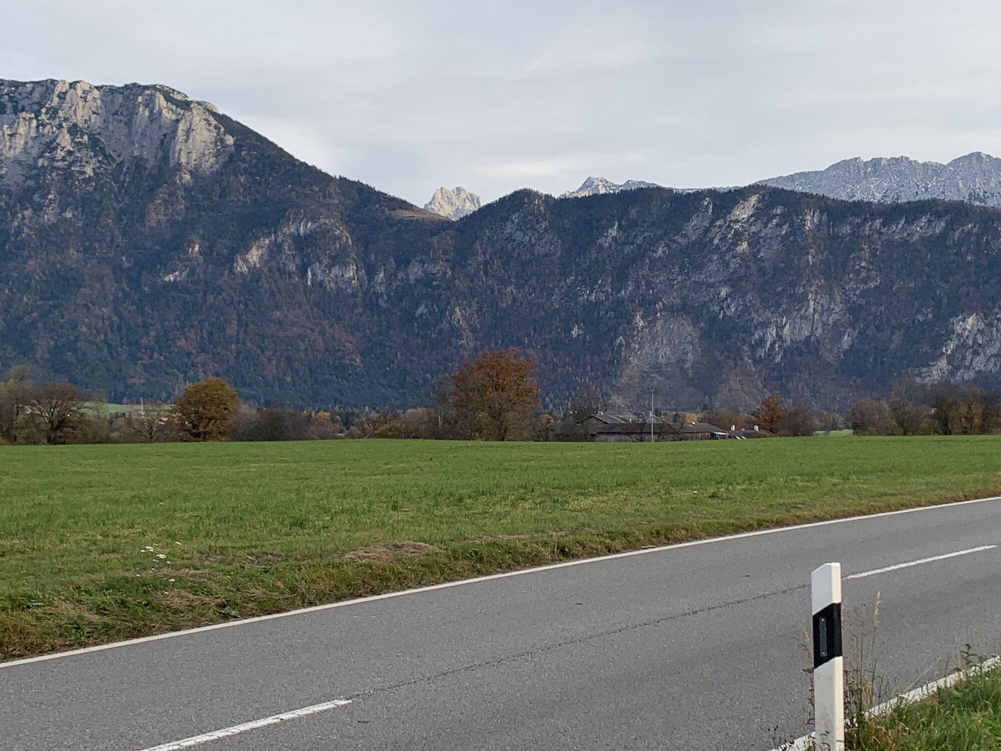
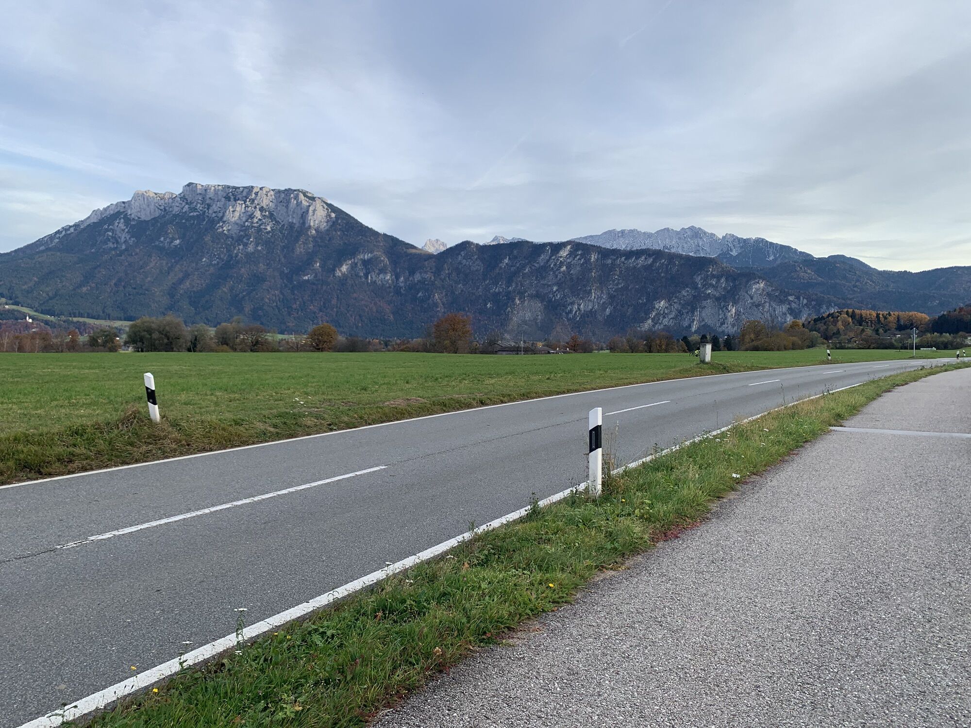
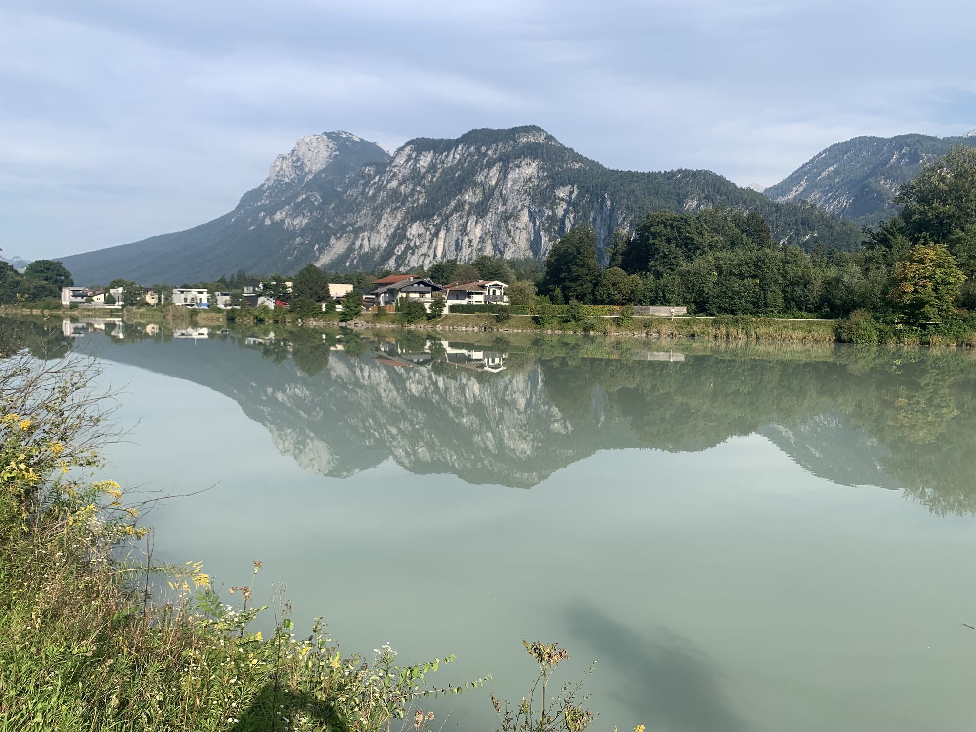
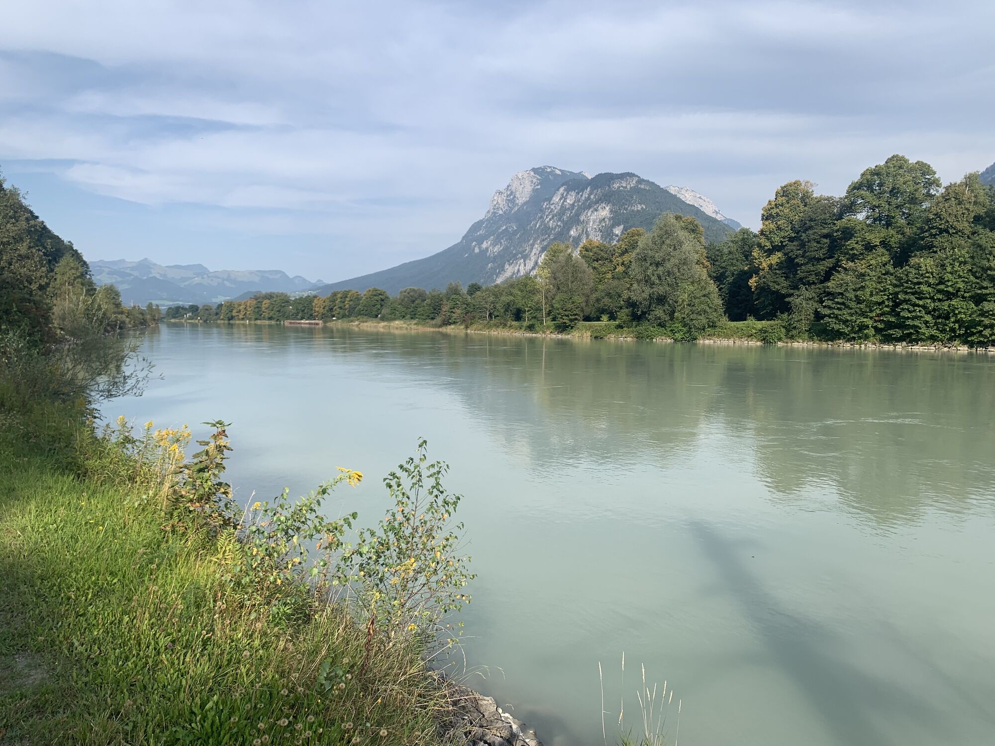
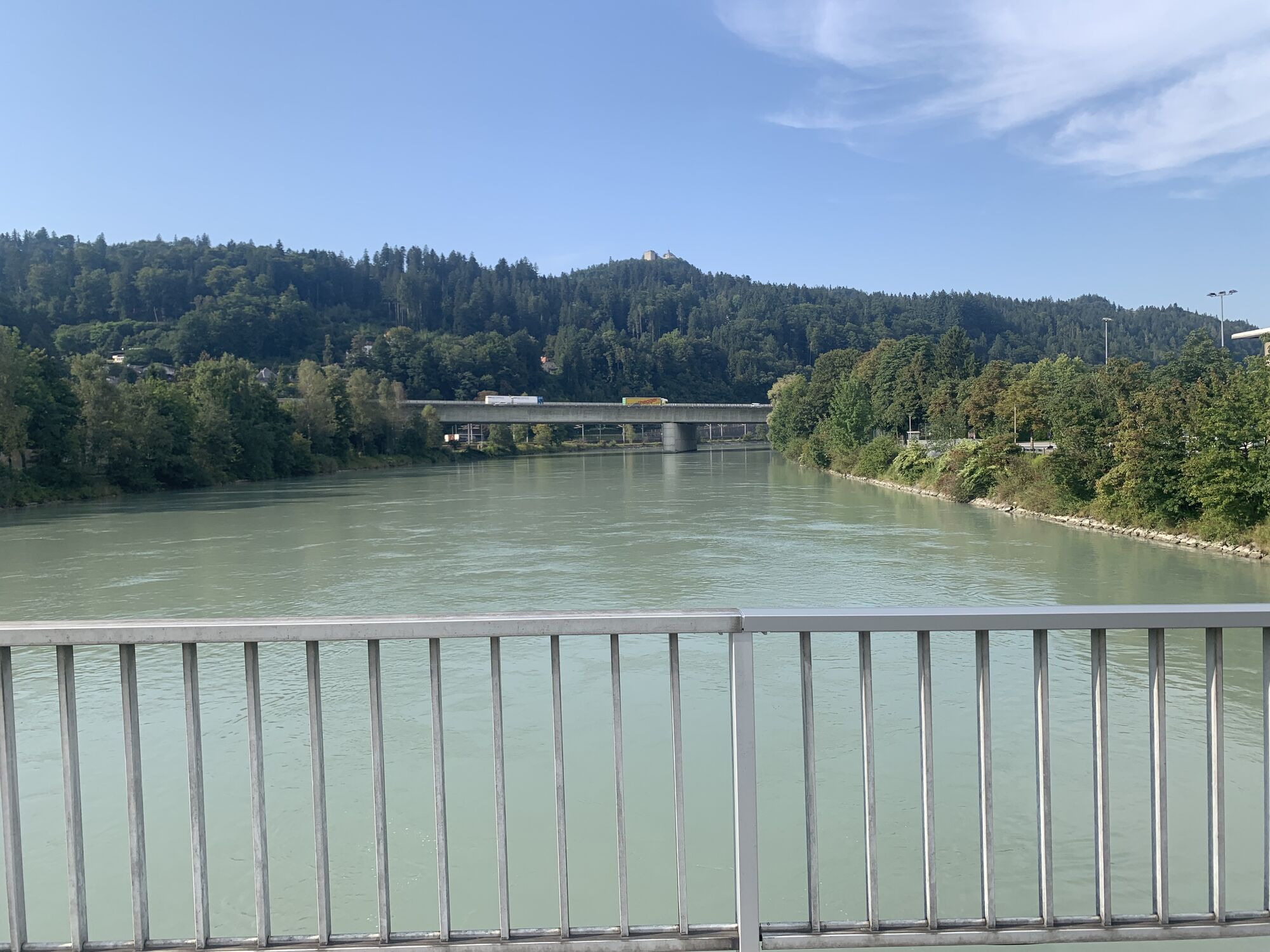
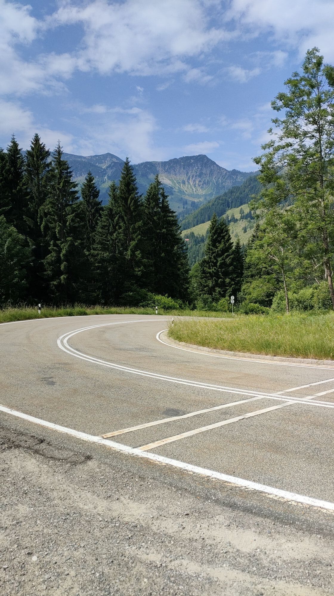
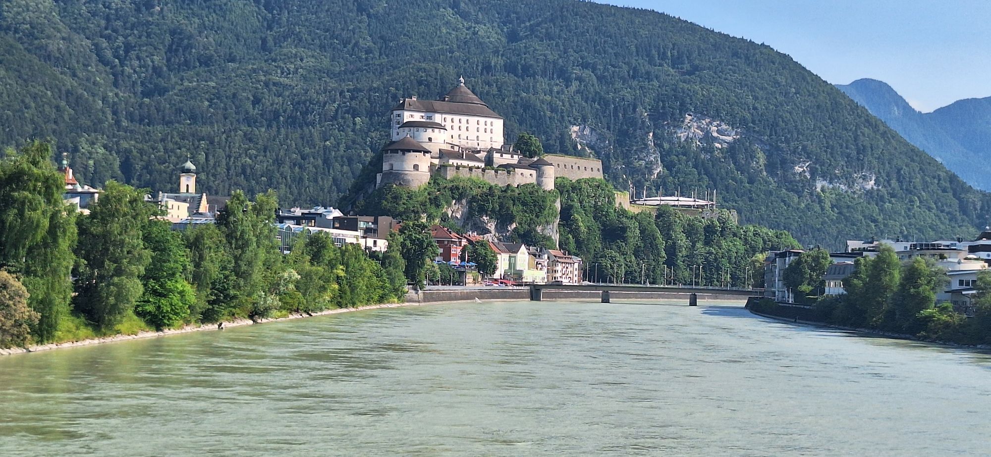
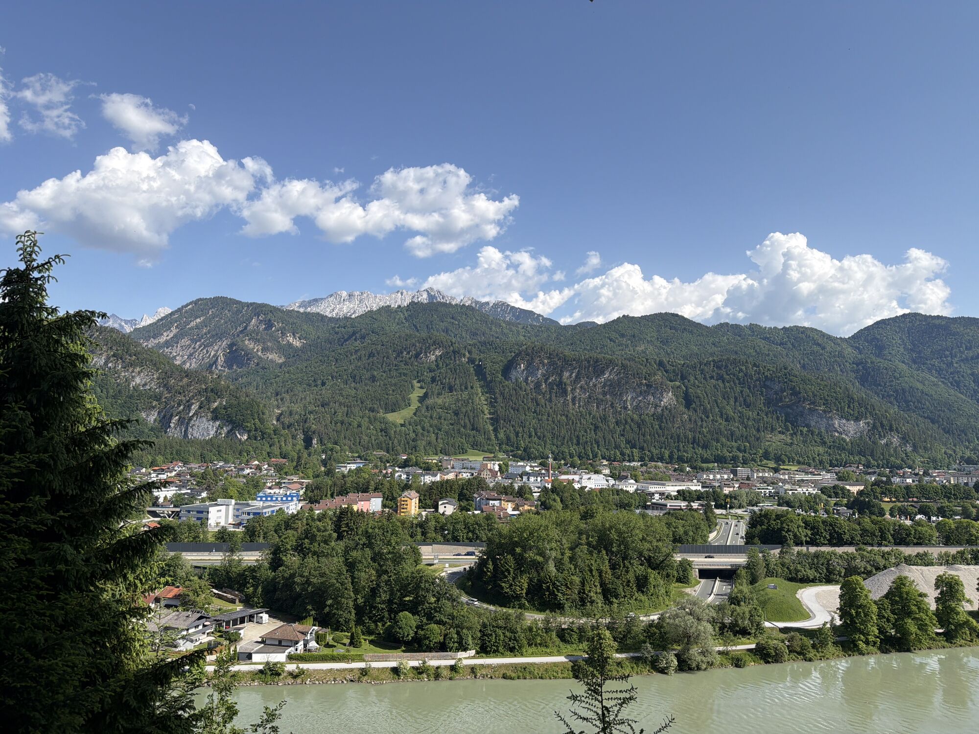
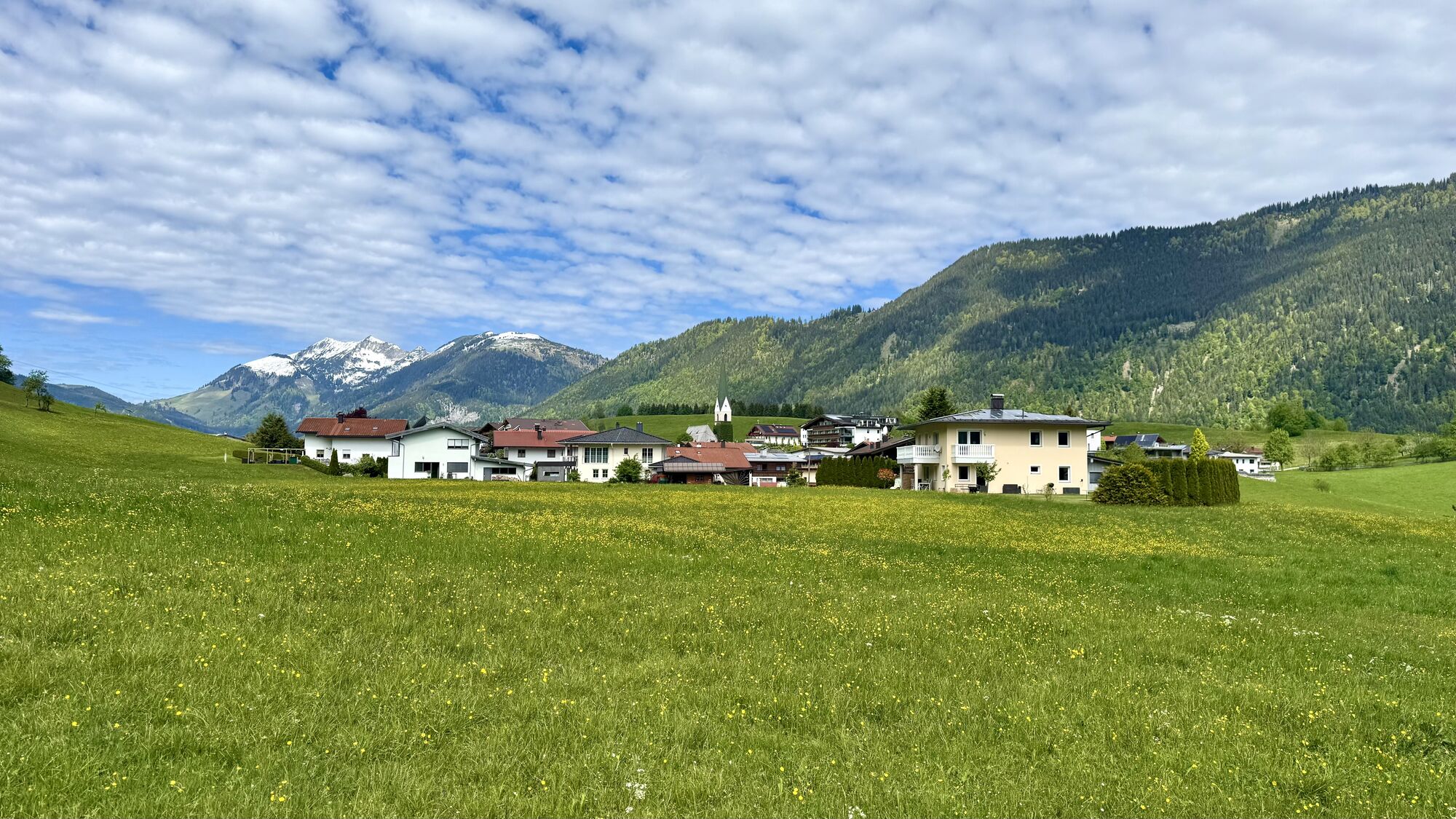
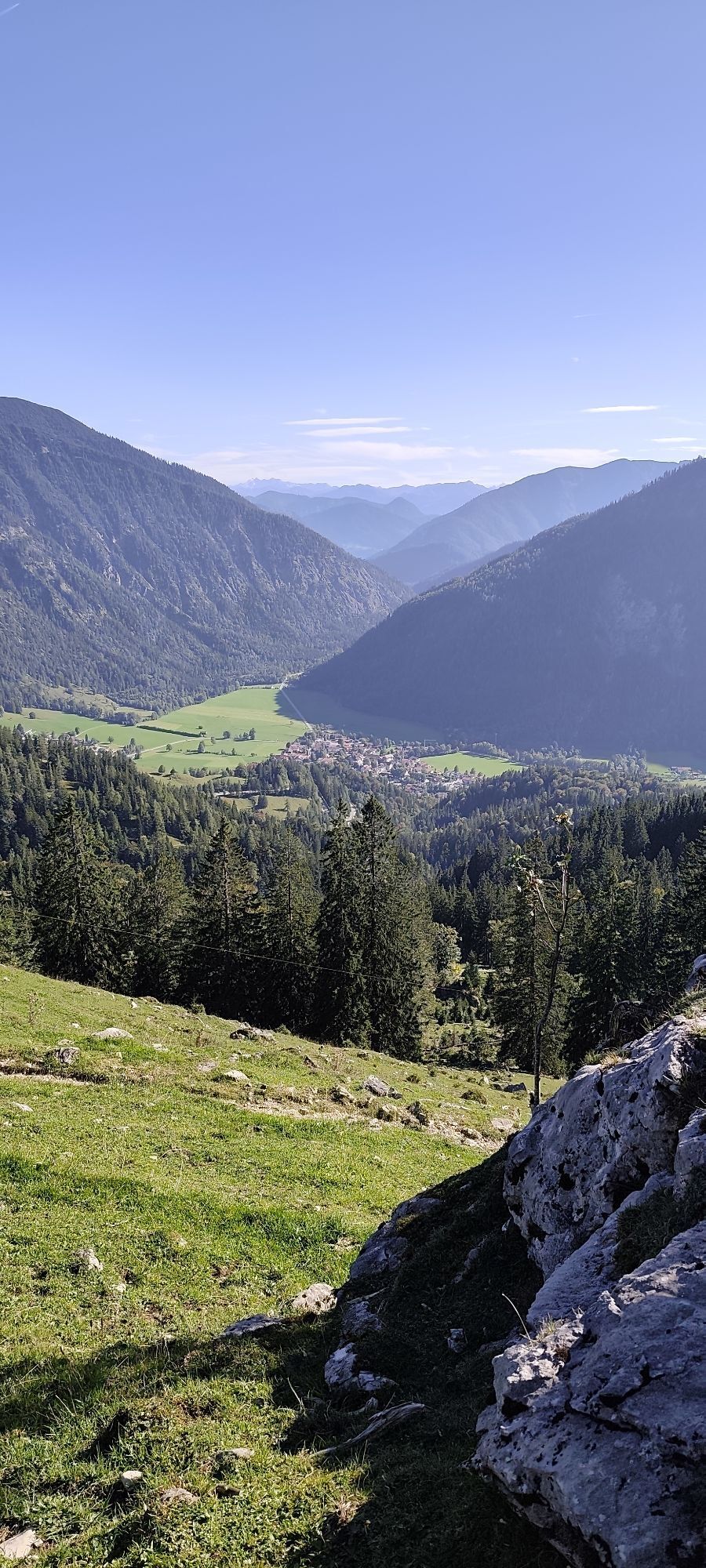
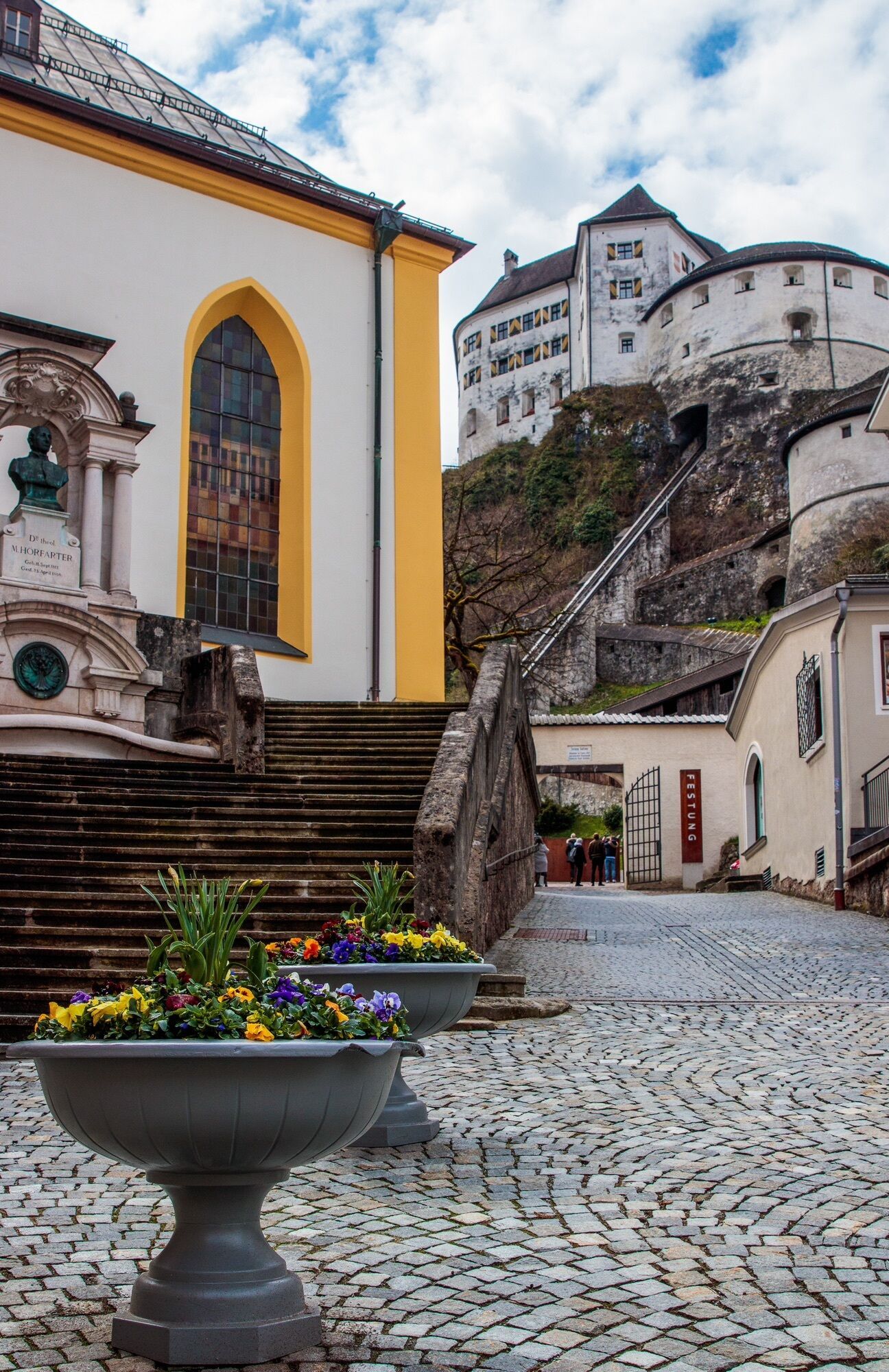
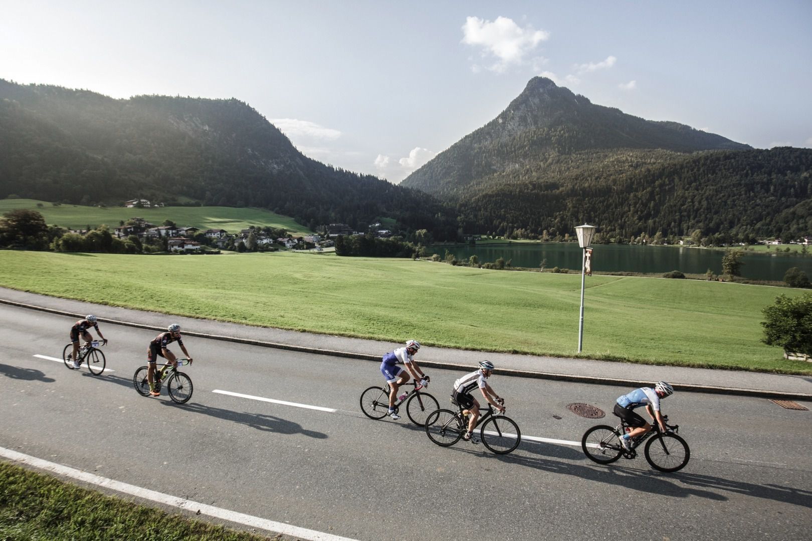
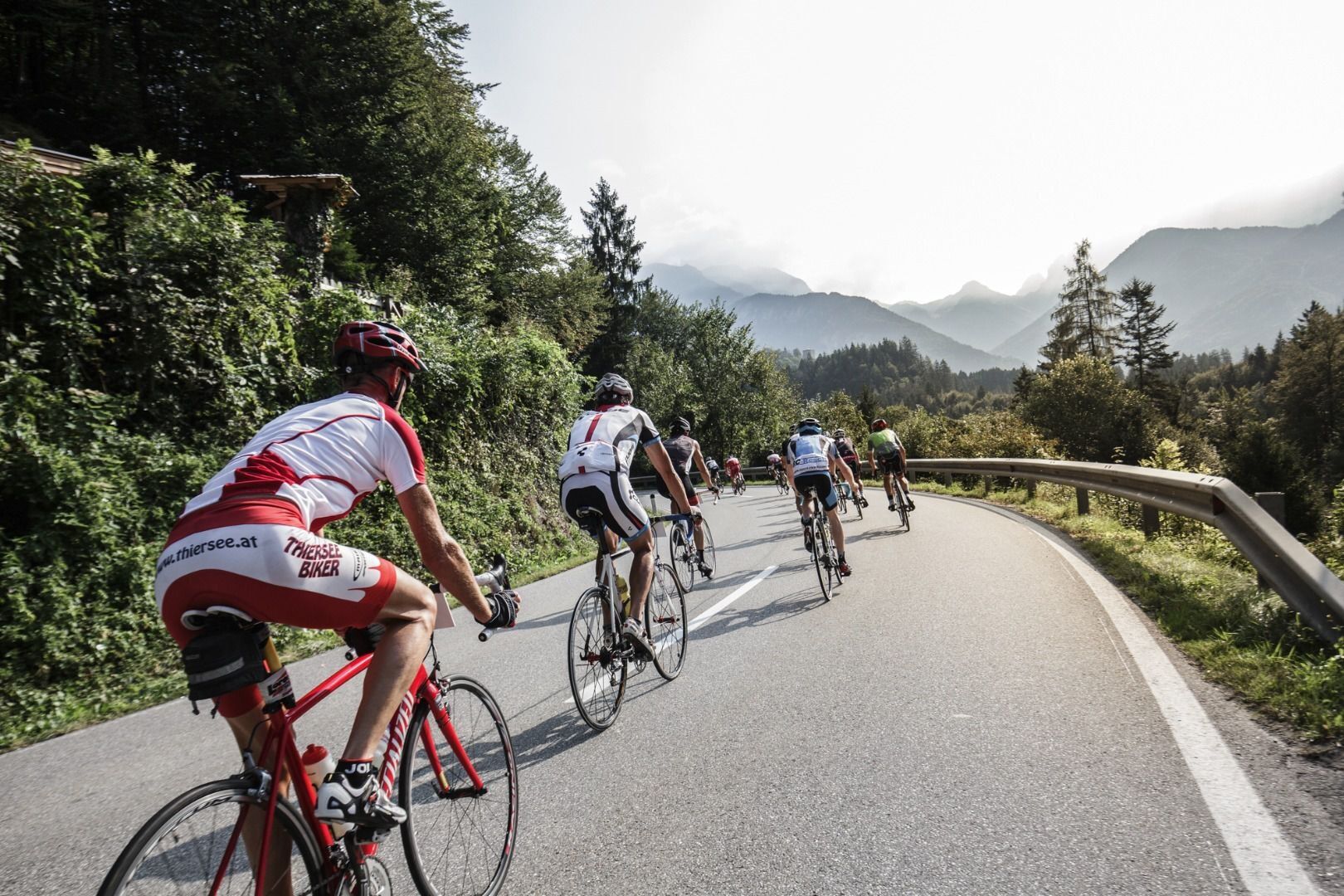
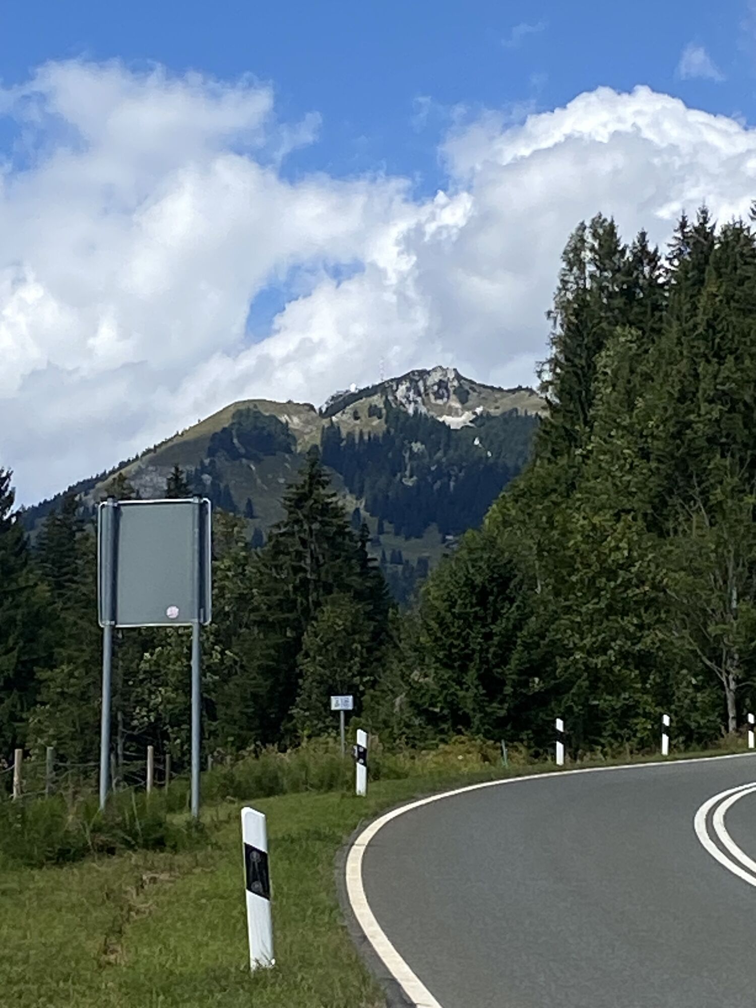
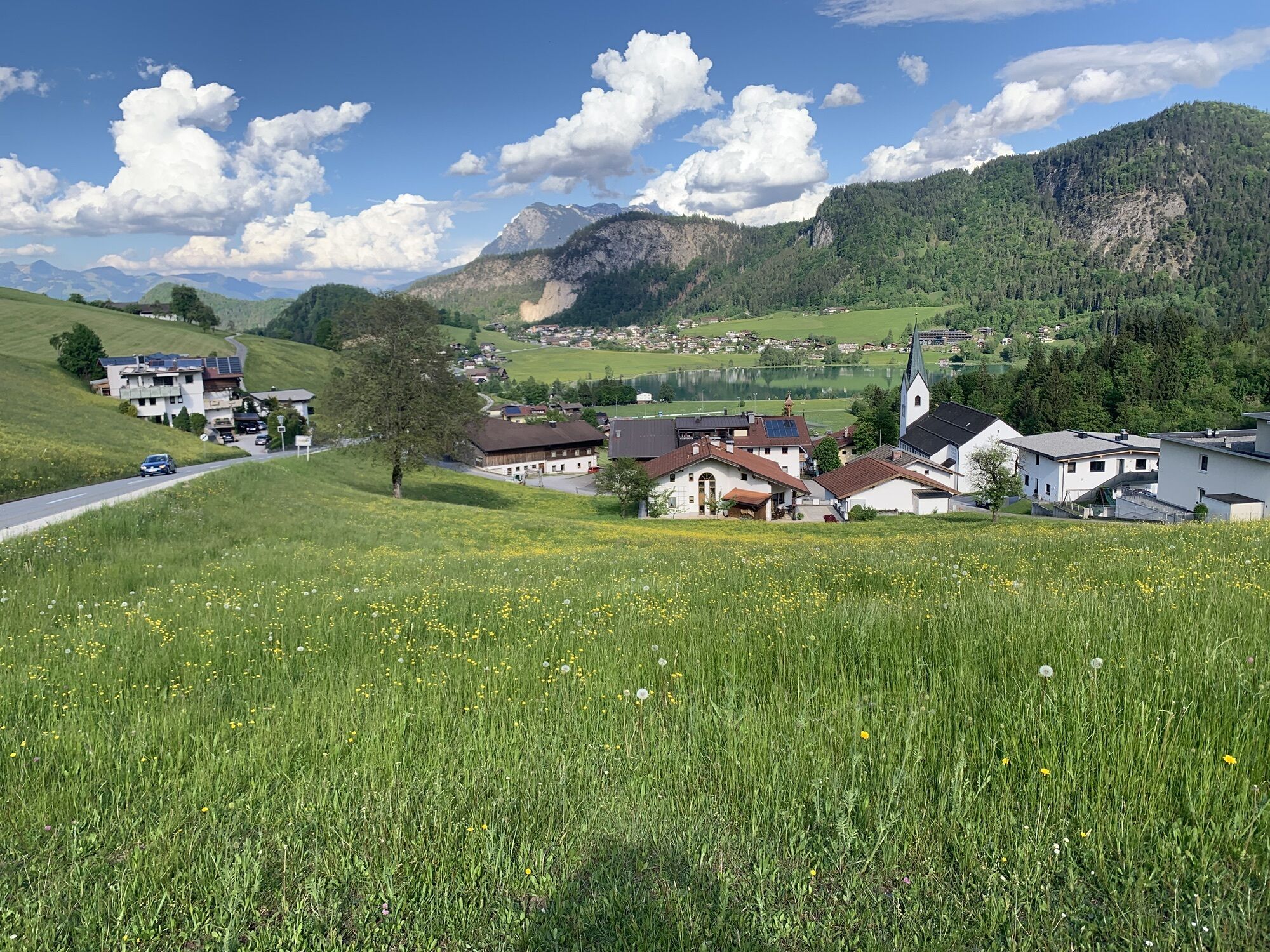
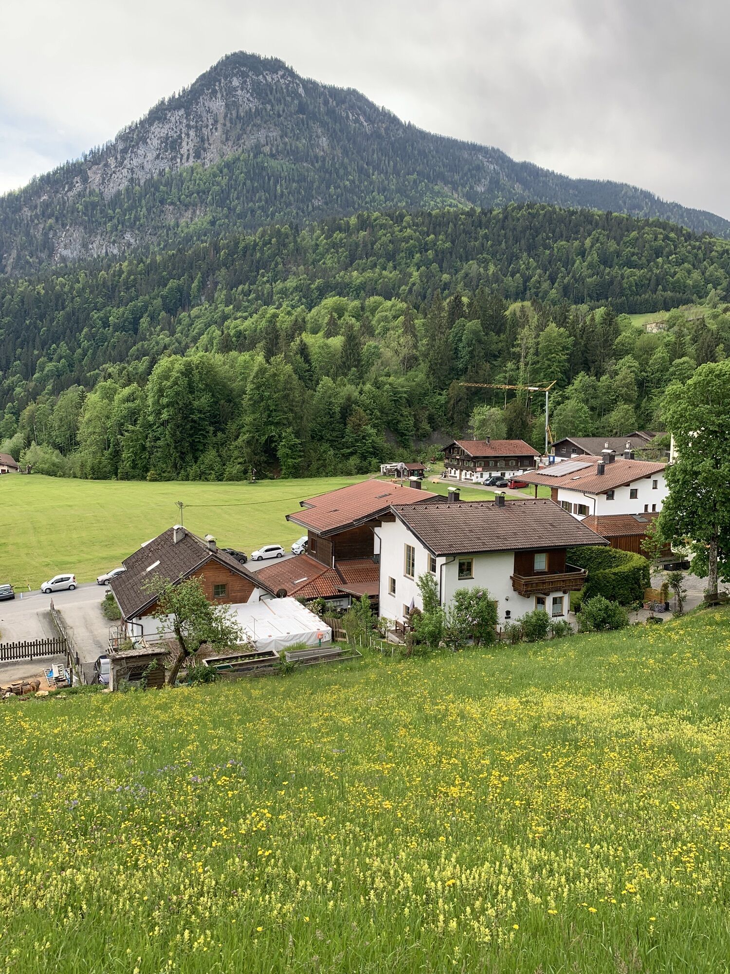
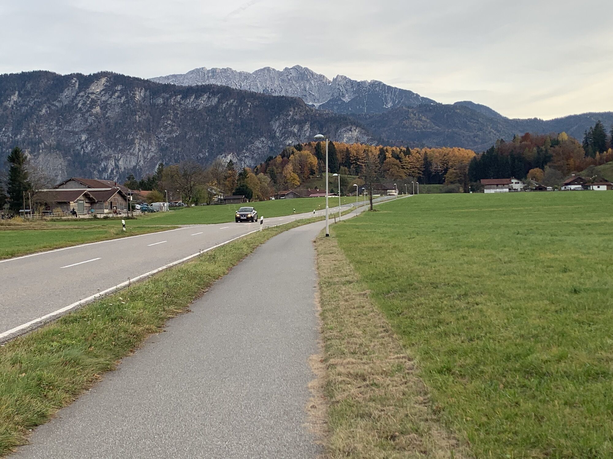
The route begins with a vigorous climb up to Thiersee and a further constant ascent to the Ursprungpass. The section to Bayrischzell provides an opportunity for a short break, before the route really ‘steps up’! The German Alpine road heads up in a continuous, long gradient to the Sudelfeldpass. At the half-way point, the descent branches off to the right to Tatzelwurm road and the route which heads through Kiefersfelden, brings you back to Kufstein again. The tour has fantastic viewing points and is a real treat during the week, without the racket of motorbikes. 

Parcours
Kufstein
(487 m)
Ville
0,0 km
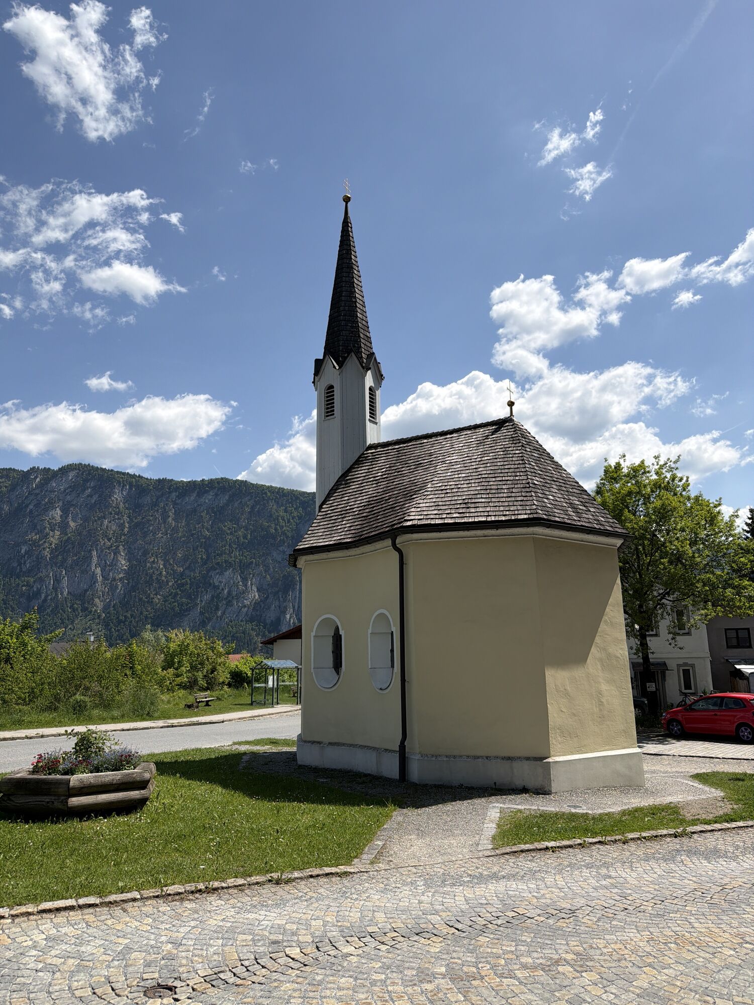
Mariahilf Kapelle
(680 m)
Lieu de culte
15,2 km
Friedhofskapelle
(799 m)
Lieu de culte
26,7 km
Sudelfeldpass
(1 123 m)
Col de montagne
30,8 km
St. Josef
(691 m)
Lieu de culte
43,1 km
Zu Unserer lieben Frau
(482 m)
Lieu de culte
47,5 km
Heilig-Kreuz-Kirche
(493 m)
Lieu de culte
52,3 km
Parcours
Carte
05 - Sudelfeld circuit
moyen
Vélo de course
56,57 km
Kufstein
(487 m)
Ville
0,0 km
Novum Freikirche
(484 m)
Lieu de culte
0,1 km
Hippbichl
(512 m)
Lotissement
1,7 km
Lechen
(657 m)
Lotissement
6,5 km
Breiten
(649 m)
Lotissement
6,6 km
Höckkapelle
(640 m)
Lieu de culte
7,1 km
Vorderthiersee
(617 m)
Village
7,5 km
Kirchdorf
(651 m)
Lotissement
8,2 km
Mitterland
(785 m)
Village
9,2 km
Birchmoos
(793 m)
Lotissement
10,1 km
Bänken
(803 m)
Lotissement
11,5 km
Hinterthiersee
(852 m)
Village
12,0 km
Pfarrkirche Sankt Nikolaus
(862 m)
Lieu de culte
12,4 km
Grub
(822 m)
Lotissement
13,2 km
Mariahilf Kapelle
(680 m)
Lieu de culte
15,2 km
Landl
(688 m)
Village
15,4 km
Krämerwirt
(683 m)
Restaurant
15,5 km
Pfarrkirche Maria Hilf
(685 m)
Lieu de culte
15,5 km
Wacht
(721 m)
Lotissement
16,7 km
Hörhagbrücke
(782 m)
Couloir/terrain
17,6 km
Bäckeralpe
(847 m)
Lotissement
20,1 km
Beim schweren Gatter
(832 m)
Couloir/terrain
23,1 km
Friedhofskapelle
(799 m)
Lieu de culte
26,7 km
St. Margaretha
(800 m)
Lieu de culte
26,7 km
Bayrischzell
(802 m)
Village
26,8 km
Schönborn Kapelle
(821 m)
Lieu de culte
27,2 km
Sudelfeld
(1 099 m)
Lotissement
30,8 km
Sudelfeldpass
(1 123 m)
Col de montagne
30,8 km
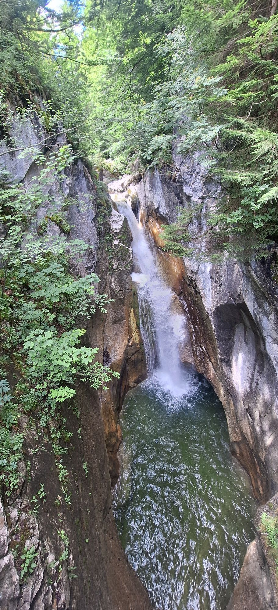
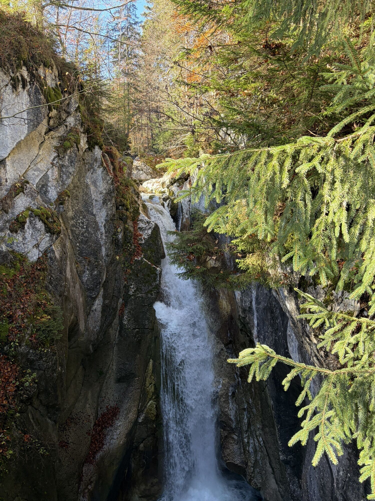
Unterer Tatzelwurmwasserfall
(762 m)
Chute d'eau
37,7 km
Oberer Tatzelwurmwasserfall
(795 m)
Chute d'eau
37,8 km
Feuriger Tatzlwurm
(767 m)
Restaurant
38,6 km
Tatzelwurm
(759 m)
Lotissement
38,6 km
Seebach
(714 m)
Lotissement
41,3 km
Berggasthof Rechenauer
(688 m)
Restaurant
43,0 km
Wall
(684 m)
Lotissement
43,0 km
St. Josef
(691 m)
Lieu de culte
43,1 km
Watschöd
(693 m)
Lotissement
44,0 km
Gasthof Hummelei
(657 m)
Restaurant
44,1 km
Agg
(515 m)
Lotissement
45,3 km
Trißl
(512 m)
Lotissement
45,6 km
Oberaudorf
(483 m)
Village
47,3 km
Zu Unserer lieben Frau
(482 m)
Lieu de culte
47,5 km
St.-Anna-Kapelle
(482 m)
Lieu de culte
47,5 km
Unterköln
(487 m)
Lotissement
49,7 km
Oberköln
(492 m)
Lotissement
50,1 km
Ried
(497 m)
Lotissement
50,4 km
Laiming
(499 m)
Lotissement
51,1 km
St. Sebastiani-Kapelle
(489 m)
Lieu de culte
51,7 km
Kiefersfelden
(487 m)
Village
51,9 km
Heilig-Kreuz-Kirche
(493 m)
Lieu de culte
52,3 km
König-Otto-Kapelle
(486 m)
Lieu de culte
53,2 km
Novum Freikirche
(484 m)
Lieu de culte
56,4 km
Kufstein
(487 m)
Ville
56,5 km
Infos sur la visite

Kings of the mountains really get to pick up the pace on the Tatzelwurm and many will take the time to enjoy the views.

Technique
n.d.
Endurance
2 / 6
Paysage
2 / 6
Expérience
n.d.
Meilleure période de l'année
Jan
Fév
Mar
Avr
Mai
Jun
Jul
Aoû
Sep
Oct
Nov
Déc
Auteur
Fourni par Tourismusverband Kufsteinerland
Partager la visite
Carte
05 - Sudelfeld circuit
moyen
Vélo de course
56,57 km
Erreur
Une erreur s'est produite. Veuillez réessayer.
Équipement

Cycling helmet, comfortable cycling clothes, change of clothes, wind protection, cycling gloves, possibly rucksack with water bottle and food, first aid kit, possibly service/repair kit, cycling map, tour description and information material (GPX track), ID, insurance card, cash.

Informations sur l'itinéraire
Itinéraire

From the Inntal motorway A12, take the Kufstein Nord exit. 

Transports en commun

Kufstein main railway station is only a few minutes' walk from the starting point.

Parking

Kufstein centre

Évaluations
5,0
5
(2)
4
(0)
3
(0)
2
(0)
1
(0)
2 Commentaires
Avatar de Hans-Peter Welz
Hans-Peter Welz
07. août. 2026
Sudelfeld
Utile (0) |
Signaler
Erreur
Une erreur s'est produite. Veuillez réessayer.
Avatar de Alexander Welz
Alexander Welz
12. juil.. 2026
Sudelfeldrunde
Utile (0) |
Signaler
Écrire une évaluation

Les évaluations aident les autres utilisateurs à choisir leur prochaine aventure. Veuillez évaluer uniquement l'excursion, pas la météo ni votre casse-croûte.

Choisissez une des étoiles pour évaluer la visite
Mauvaise visite
Tour faible
Tour moyen
Bonne visite
Excellente visite
Randonnée et suivi

Randonnée et suivi

Randonnée et suivi
Plus de 550.000 propositions de circuits, des cartes détaillées et un planificateur d'itinéraire intuitif font de cette application un must pour tous les passionnés de nature.
bergfex