Naviguer avec l'appli
Télécharge cette visite sur ton portable
Carte
08 - Pillersee circuit
difficile
Vélo de course
134,33 km
Scanner le code QR et commencer la navigation dans l'application bergfex
QR Code
Randonnée & tracking

08 - Pillersee circuit
Distance
134,3 km
Durée
07:27 h
Ascension
970 m
Altitude
482 - 961 m
Téléchargement de la piste
Carte
08 - Pillersee circuit
difficile
Vélo de course
134,33 km

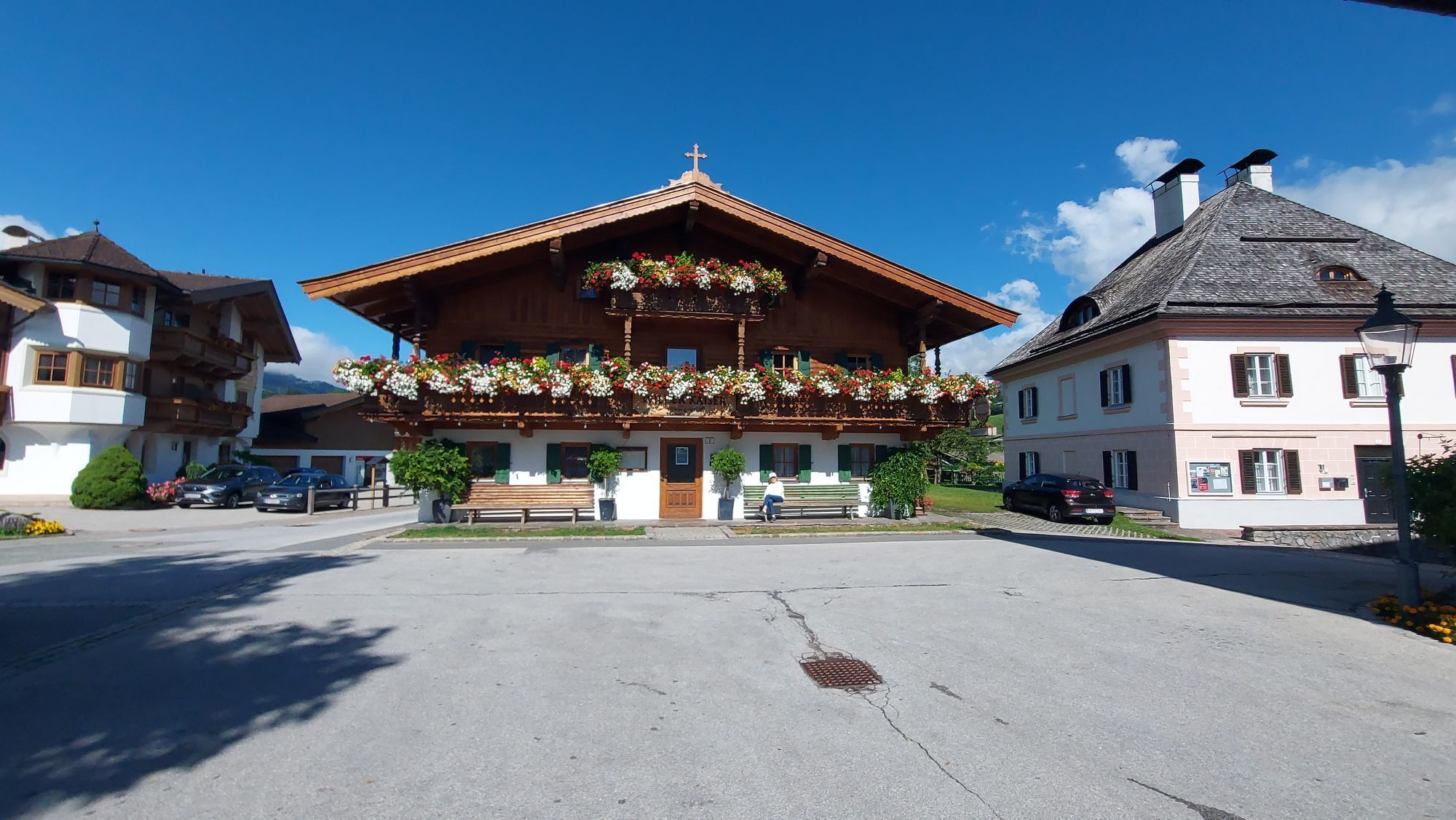
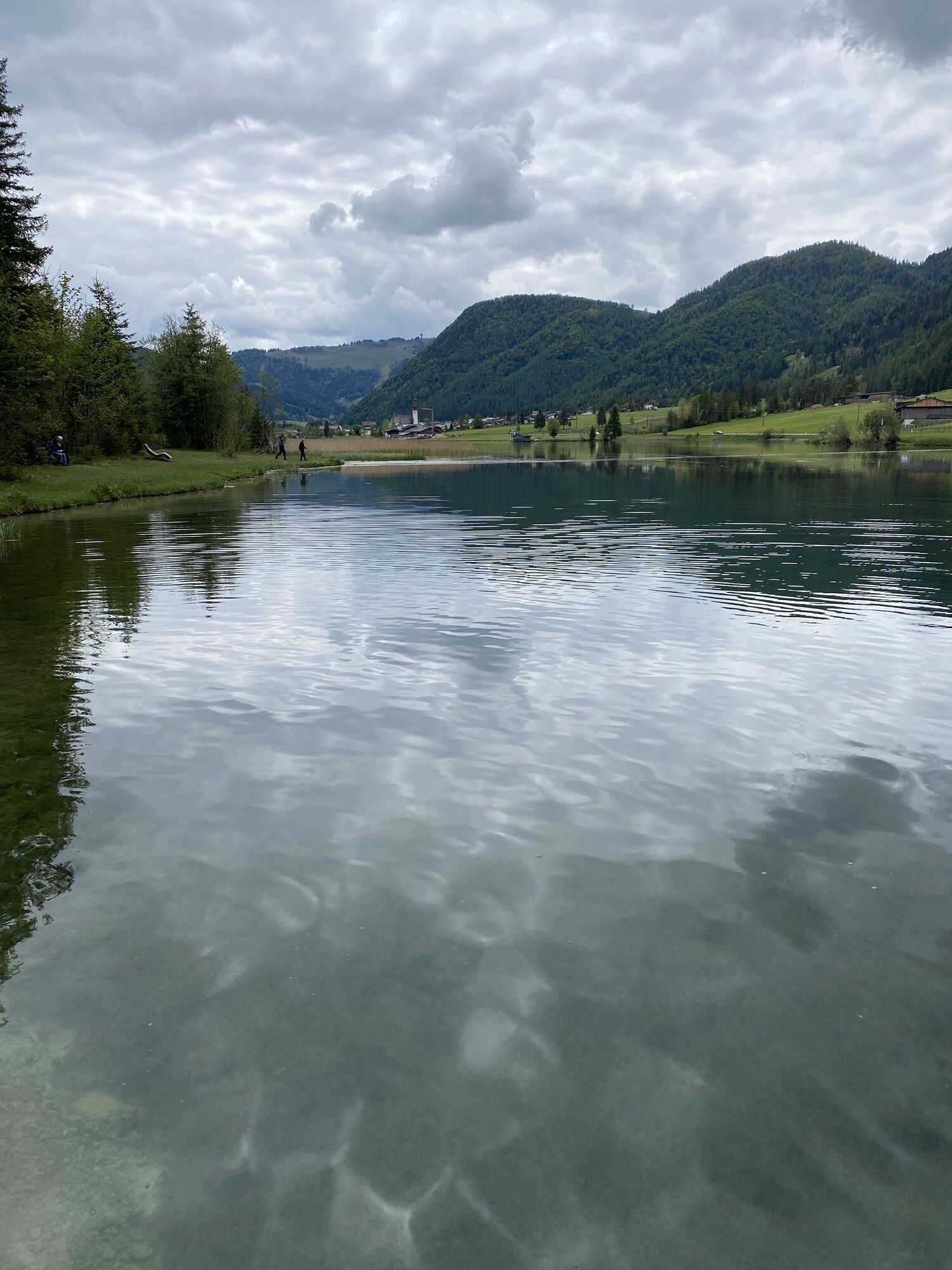
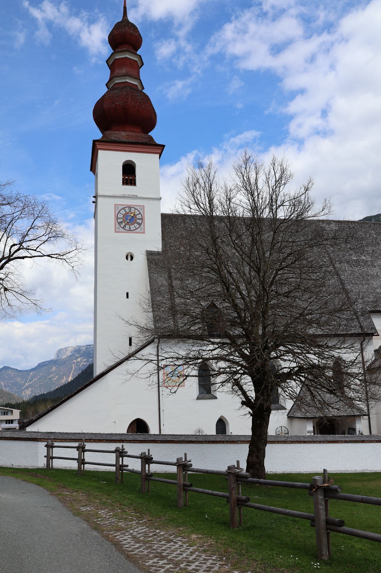
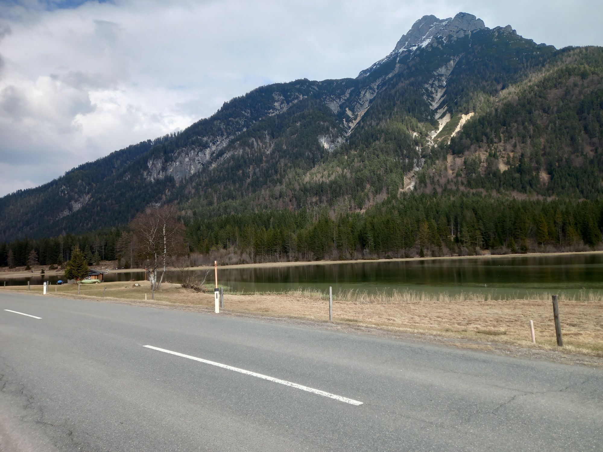
Photos de nos utilisateurs

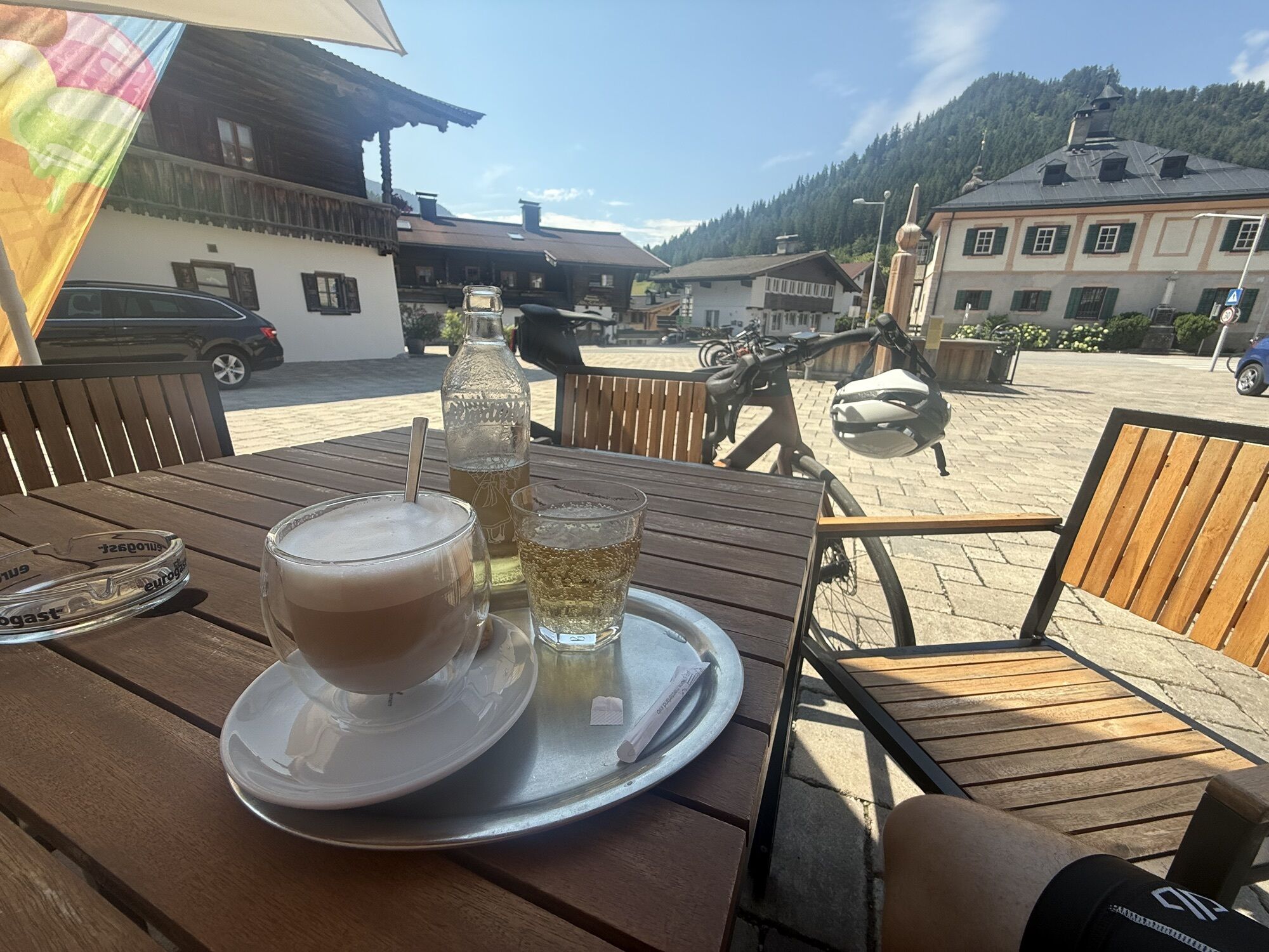
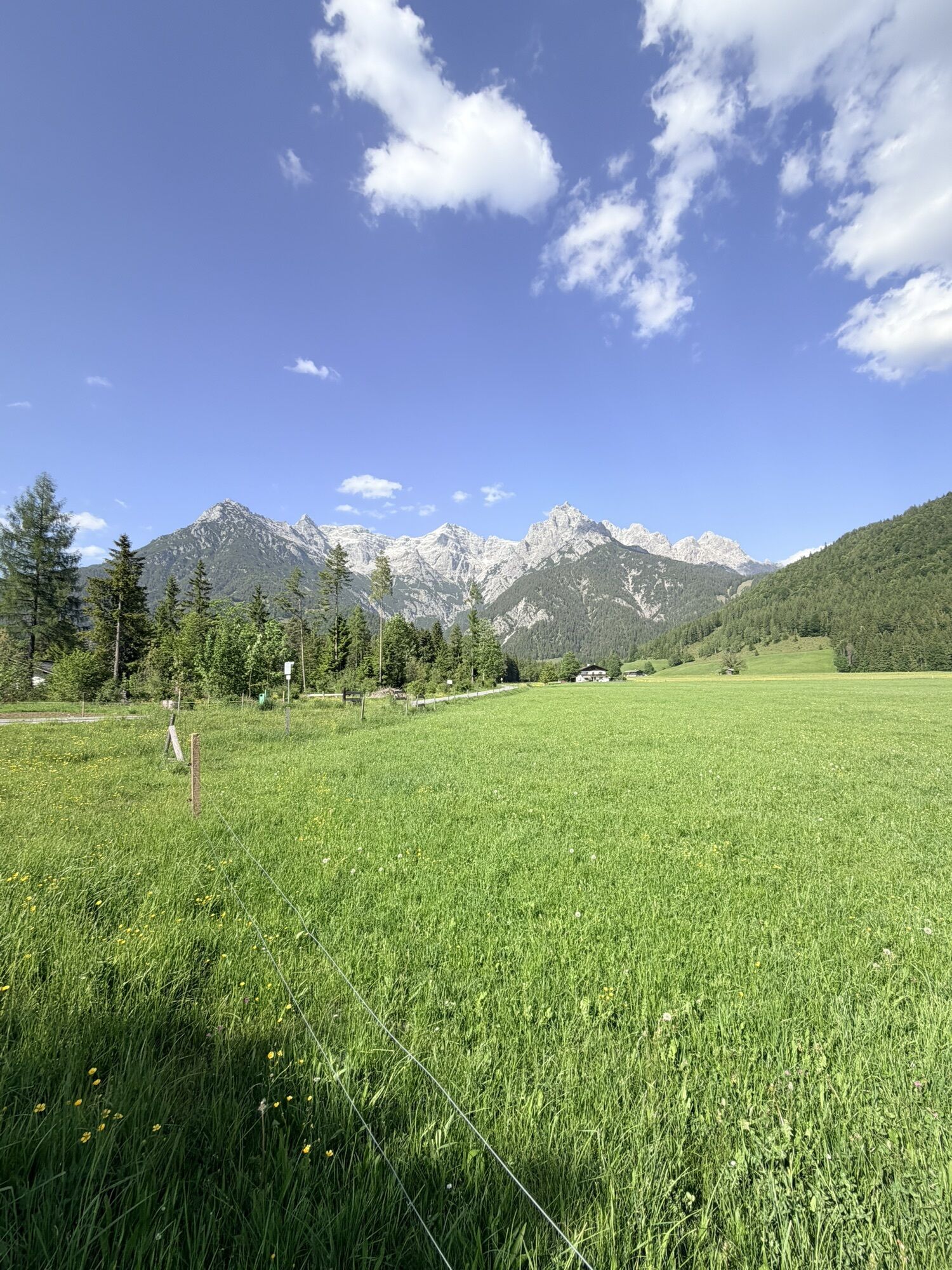
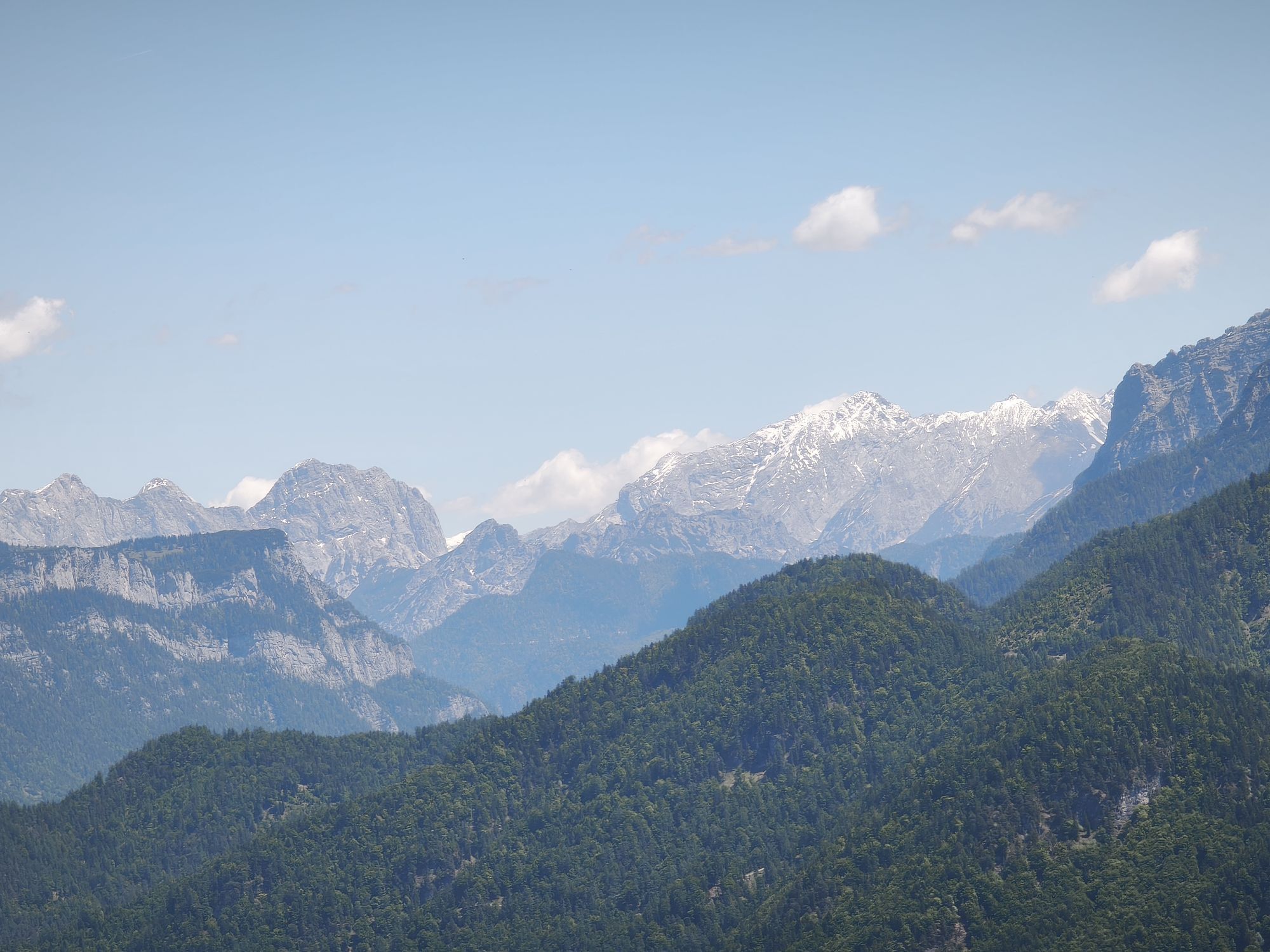
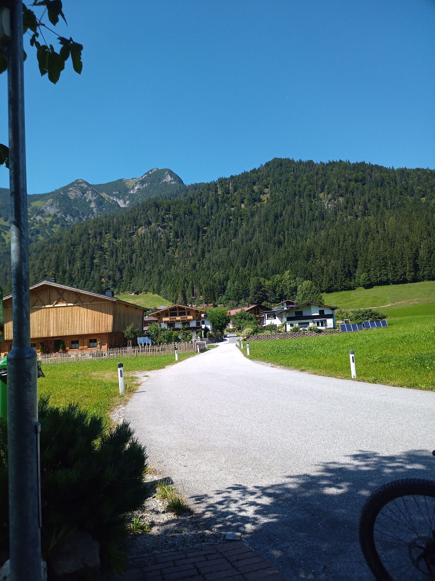
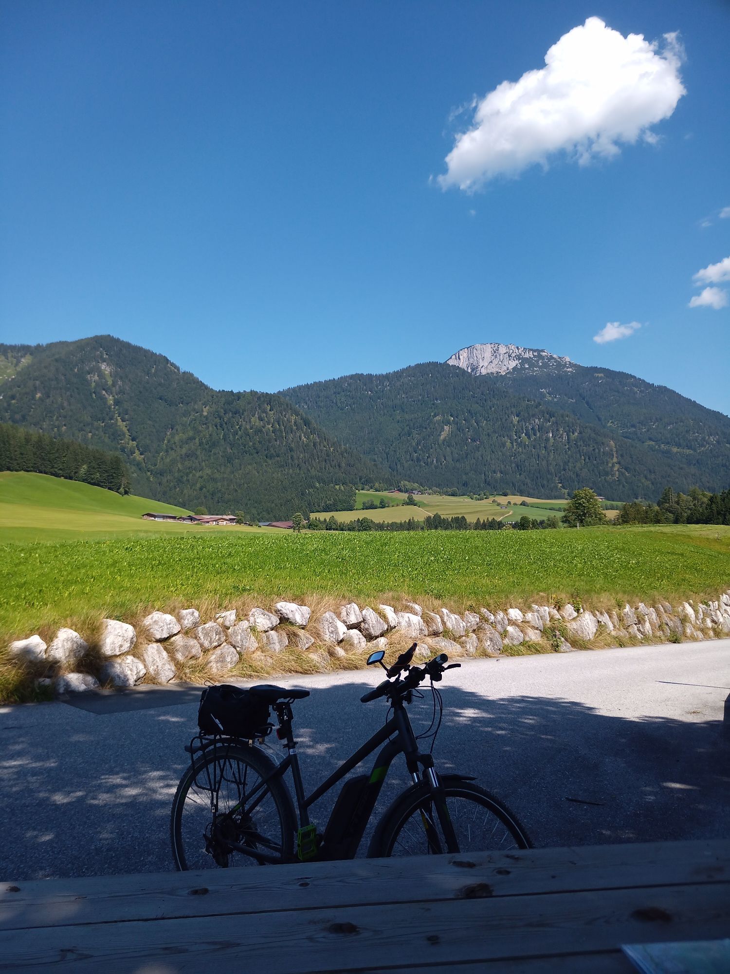
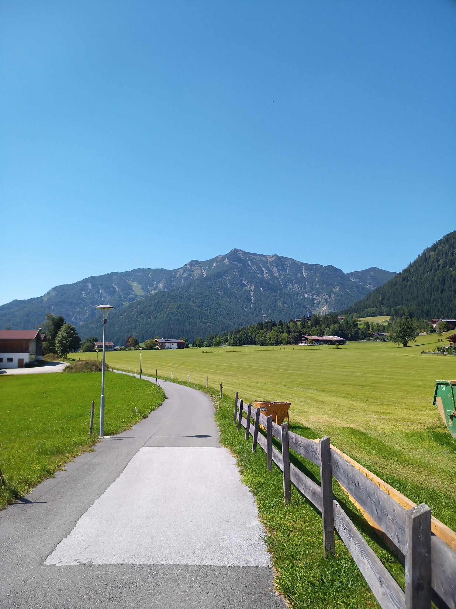
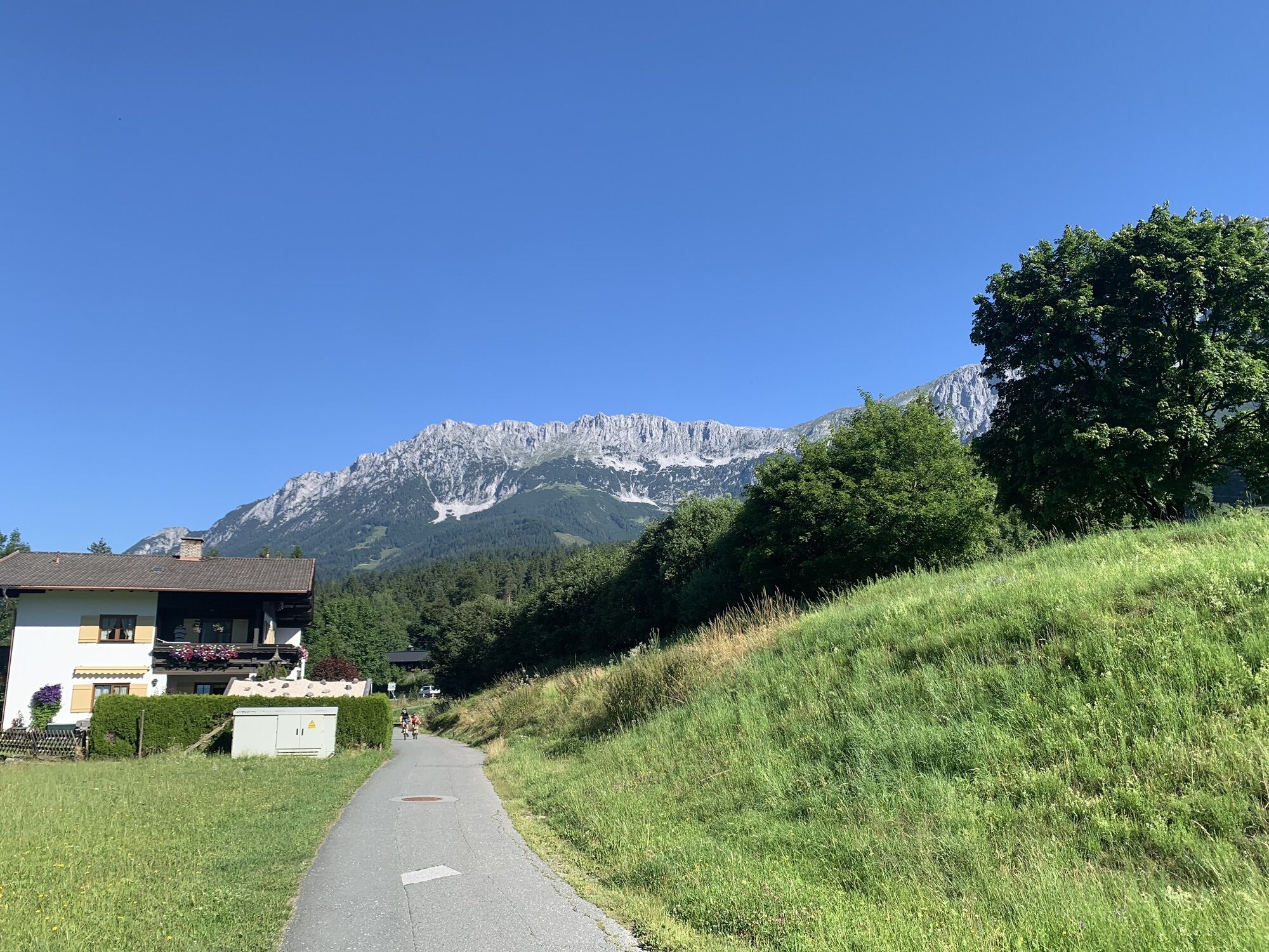
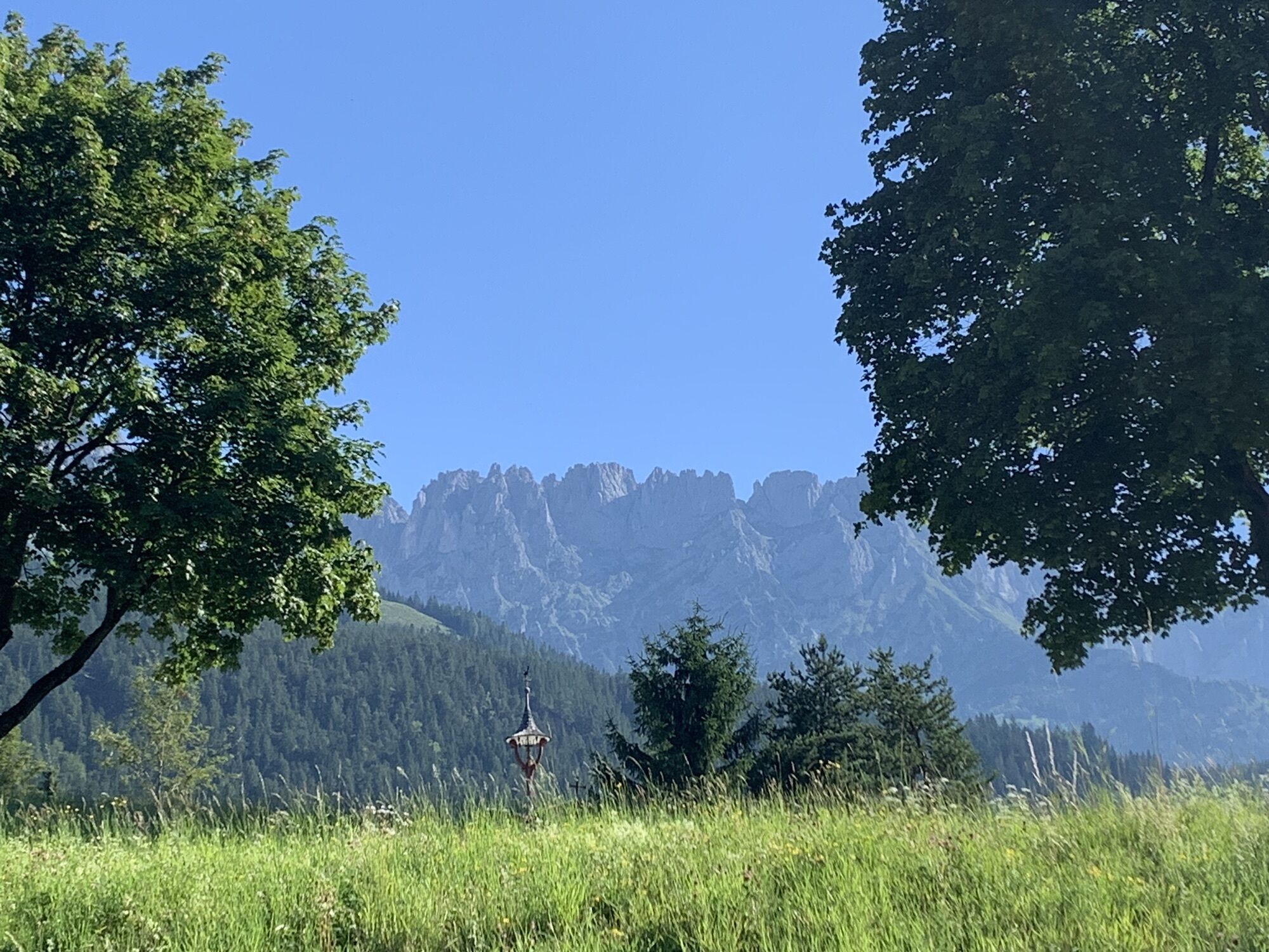
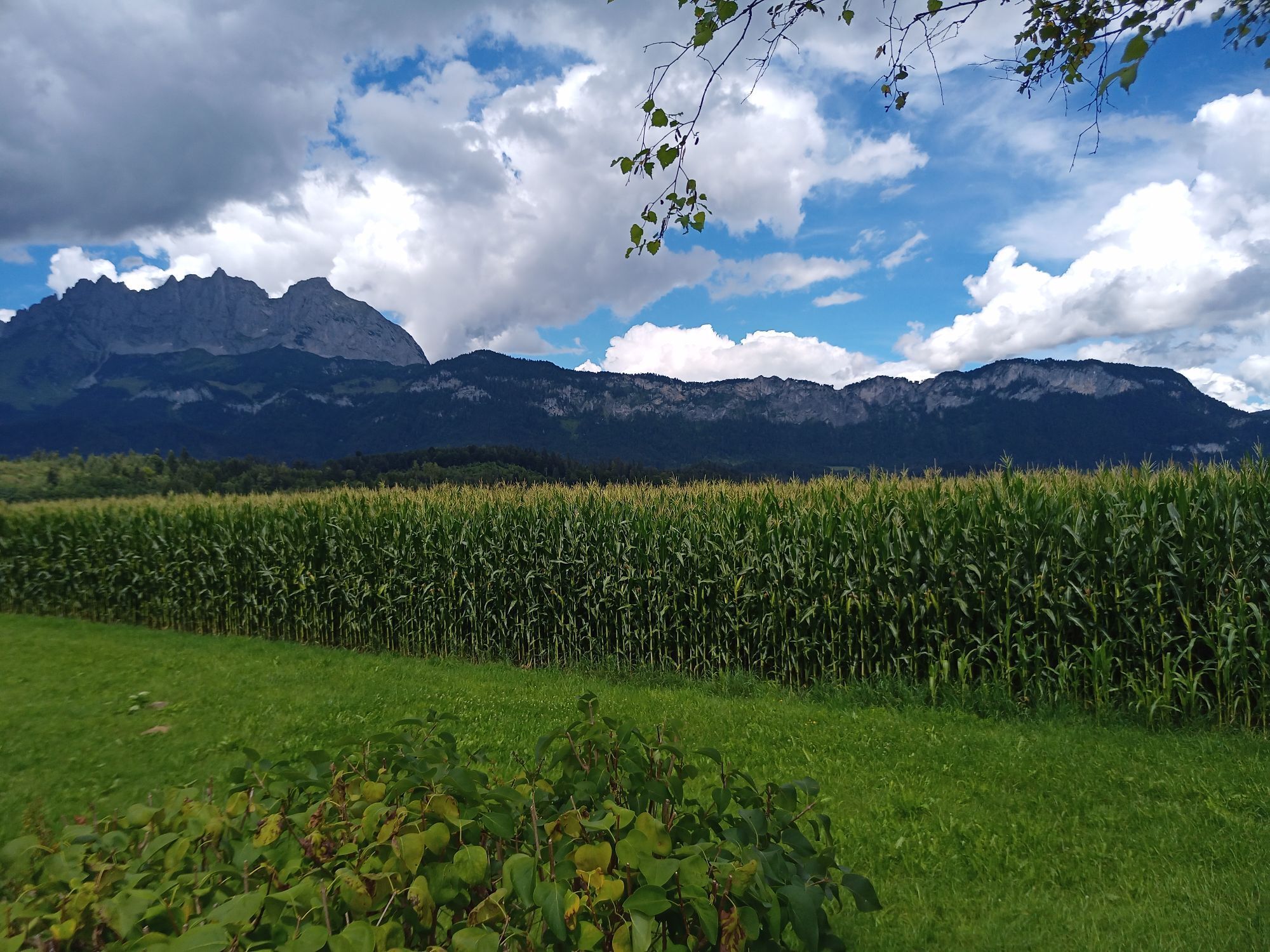
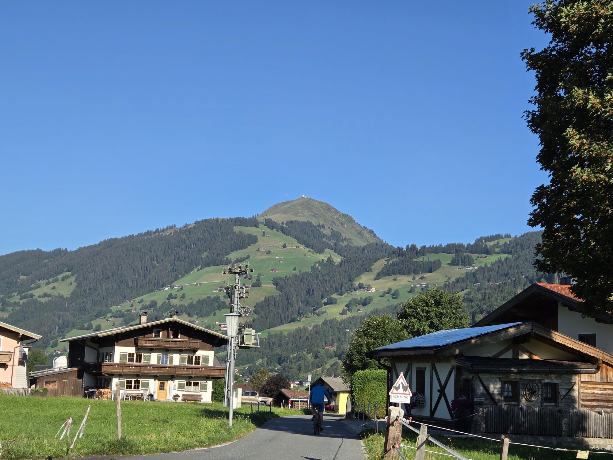
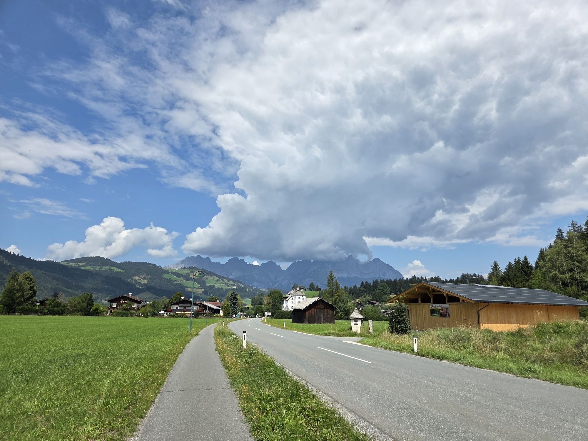
This tour initially proceeds along the Wilder Kaiser mountain range to St. Johann in Tirol. Here you head for Fieberbrunn. After the underpass, look for the left-hand turn-off to the airport and proceed...

Description

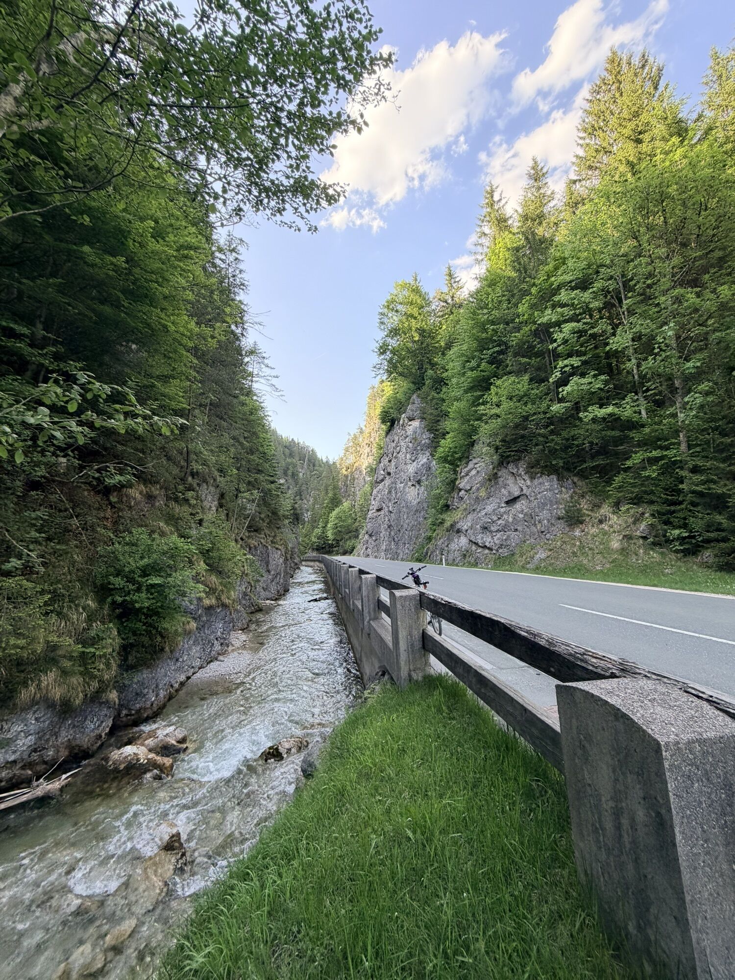
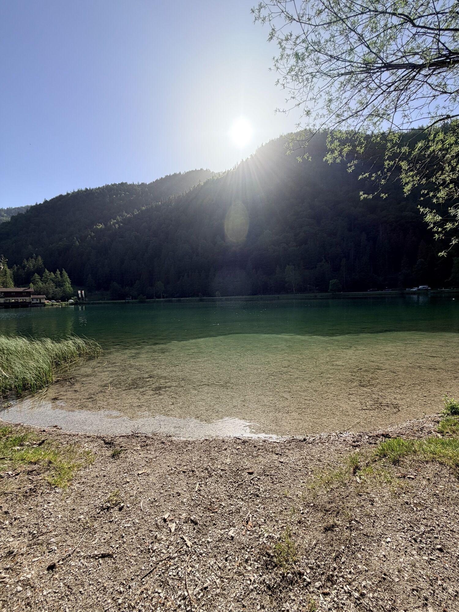
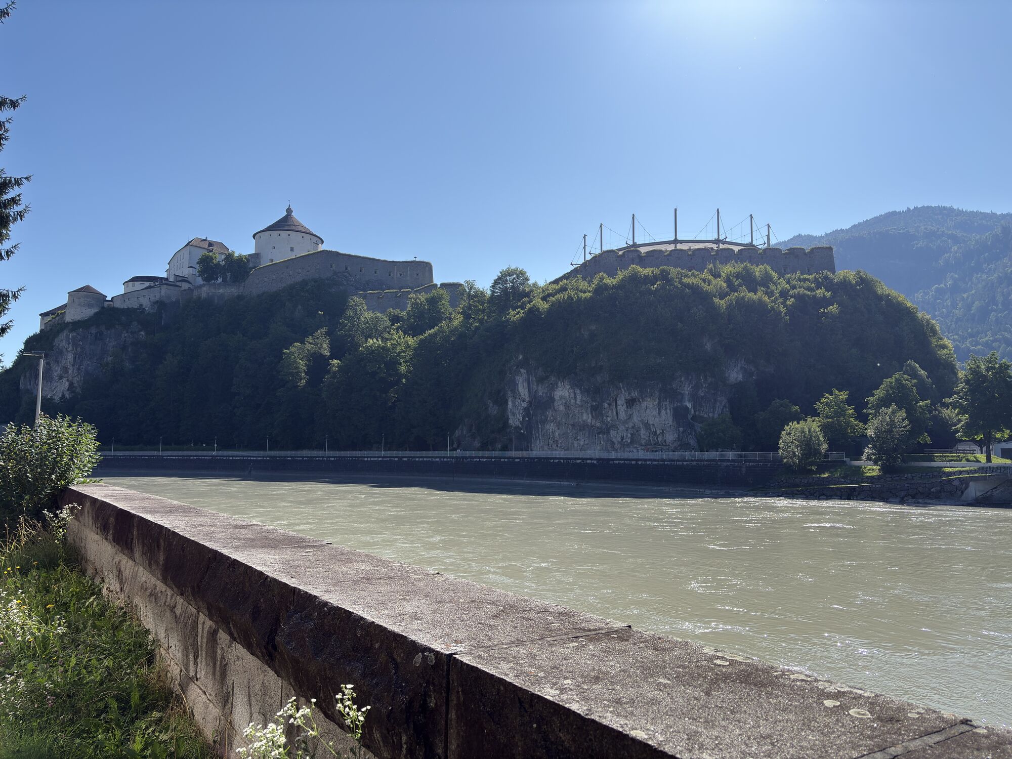
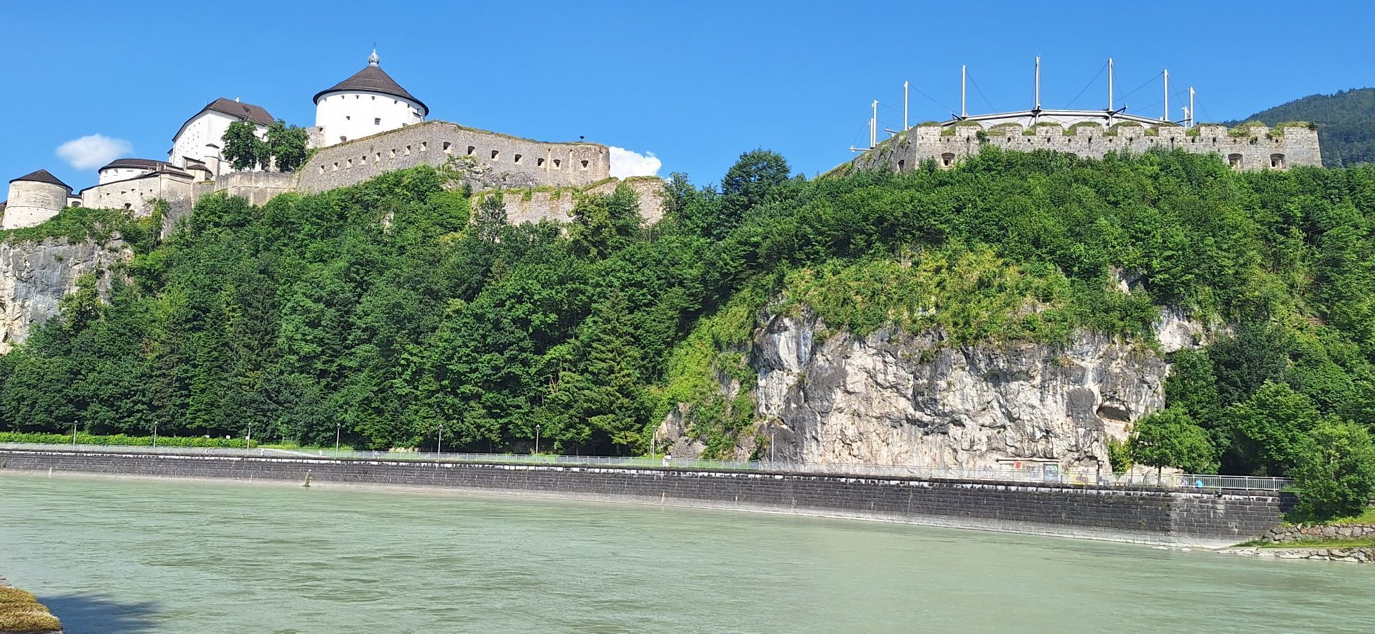
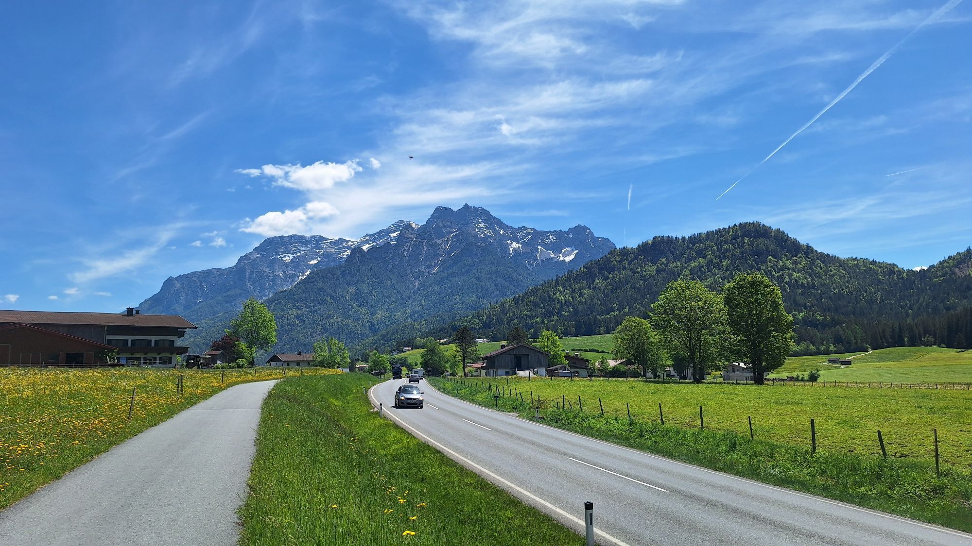
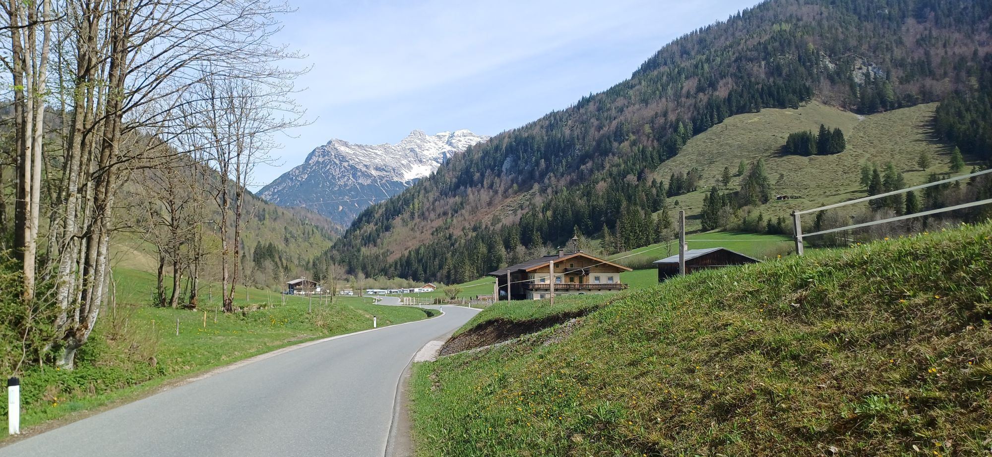
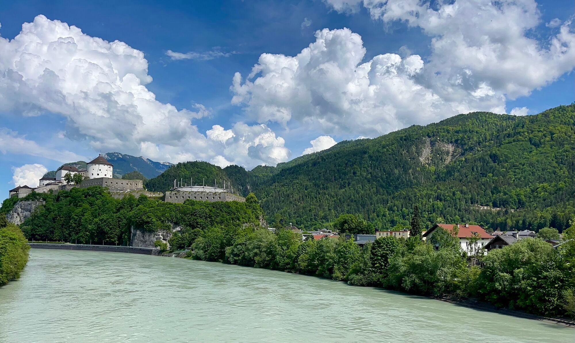
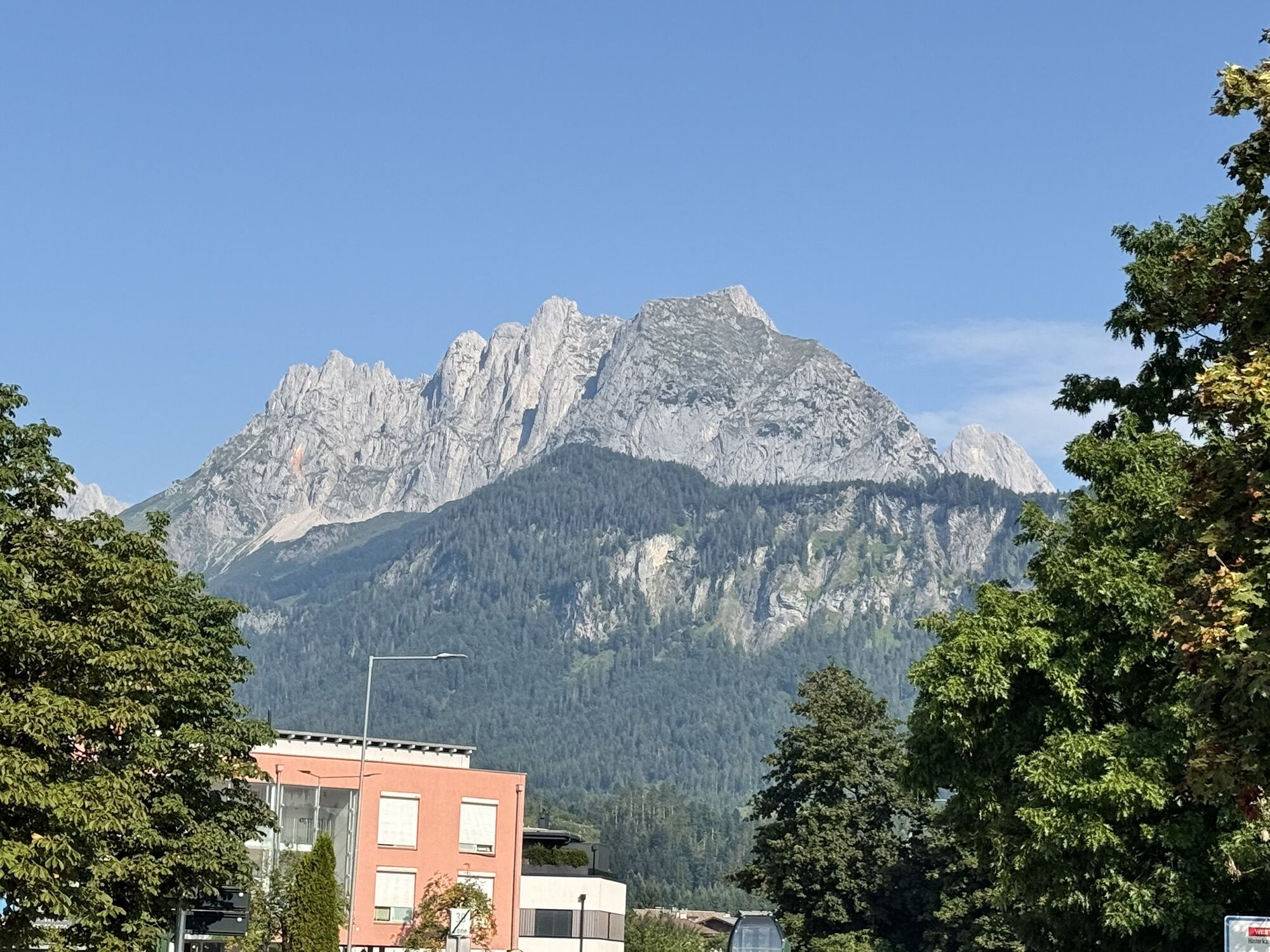
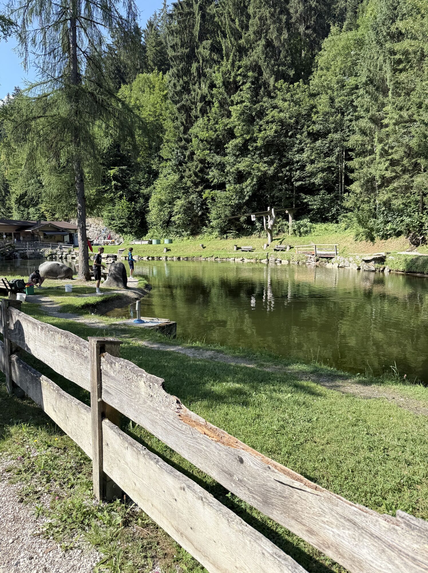
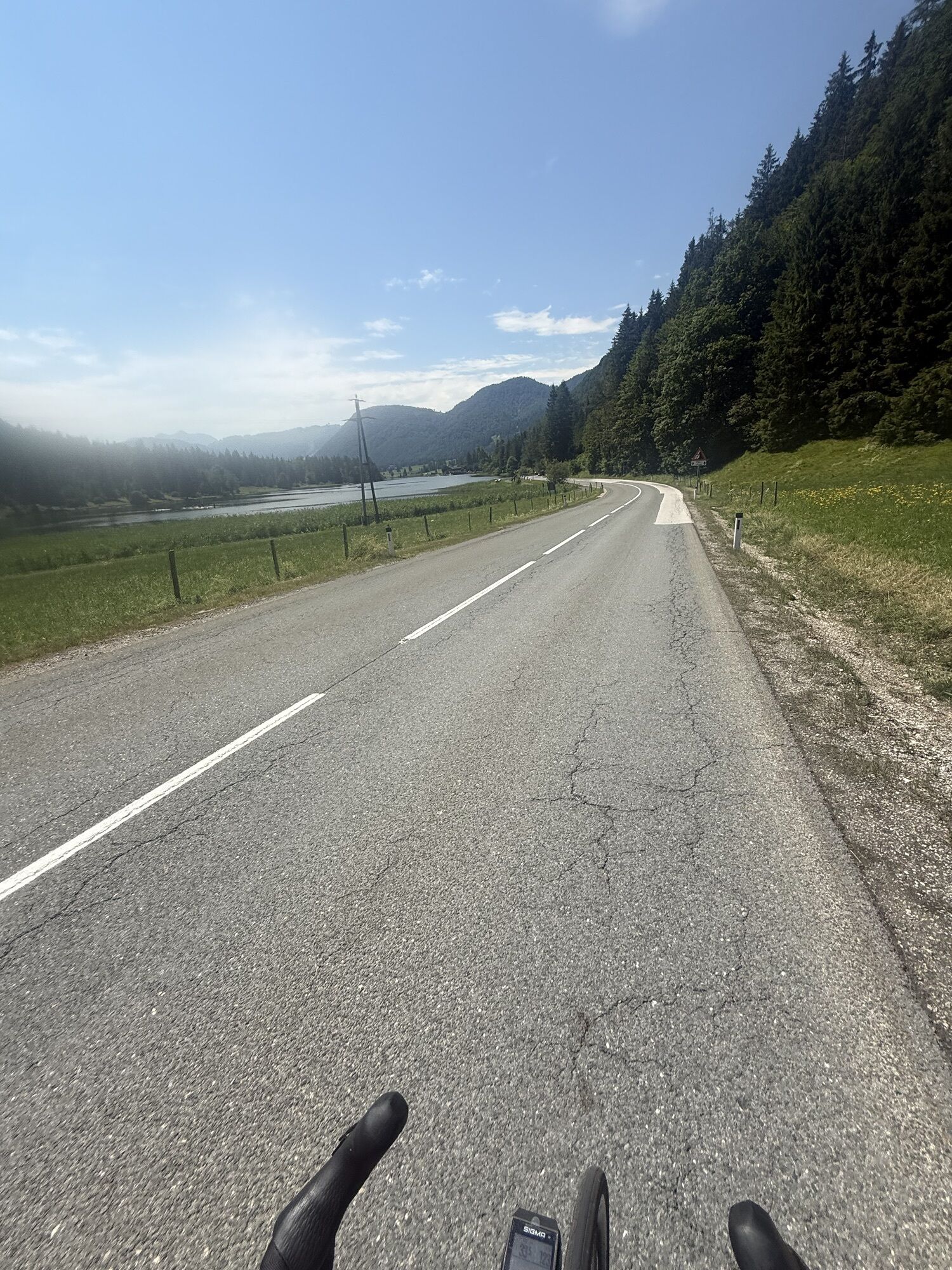
This tour initially proceeds along the Wilder Kaiser mountain range to St. Johann in Tirol. Here you head for Fieberbrunn. After the underpass, look for the left-hand turn-off to the airport and proceed onto the cycle path there. A wonderful route, with sharp climbs takes you to Fieberbrunn. Ride on the B164 for a few kilometres. At the junction for Bergbahnen Fieberbrunn keep right and continue to Gasthof ‘Eiserne Hand’. Turn left there and head up to Hochfilzen. From there, proceed through to St. Ulrich and via the Pillersee country road to Waidring. The B178 leads via Erpfendorf to St. Johann.

Parcours
Egerbach Kapelle
(527 m)
Lieu de culte
4,5 km
Antoniuskapelle
(660 m)
Lieu de culte
30,3 km
Sankt Adolari
(854 m)
Lieu de culte
48,8 km
Antoniuskapelle
(660 m)
Lieu de culte
77,8 km
Heiliger Ulrich von Augsburg
(836 m)
Lieu de culte
94,8 km
Pfarrkirche zum Heiligen Nikolaus
(783 m)
Lieu de culte
104,0 km
Pfarrkirche Heiliger Ägidius
(581 m)
Lieu de culte
128,9 km
Parcours
Carte
08 - Pillersee circuit
difficile
Vélo de course
134,33 km
Kufstein
(487 m)
Ville
0,0 km
Endach
(501 m)
Quartier
1,6 km
Egerbach
(527 m)
Lotissement
4,3 km
Egerbach Kapelle
(527 m)
Lieu de culte
4,5 km
Eiberg
(607 m)
Lotissement
6,5 km
Stockach
(627 m)
Lotissement
11,3 km
Bocking
(668 m)
Lotissement
12,8 km
Blaiken
(673 m)
Quartier de la ville
14,6 km
Am Trattenbach
(699 m)
Quartier de la ville
15,3 km
Oberau
(698 m)
Quartier de la ville
15,6 km
Auwinkel
(742 m)
Quartier de la ville
17,0 km
S'Kleine Wirtshaus Ellmau
(732 m)
Restaurant
17,0 km
Auwald
(749 m)
Quartier de la ville
17,2 km
Ellmauer Hof
(757 m)
Restaurant
17,9 km
Steinerner Tisch
(772 m)
Quartier de la ville
18,3 km
Ellmau
(798 m)
Village
19,2 km
Going
(764 m)
Village
21,0 km
Dorfwirt
(759 m)
Restaurant
21,5 km
Reischerwirt
(703 m)
Restaurant
23,5 km
Wiesen
(684 m)
Lotissement
25,4 km
Stockleiten
(688 m)
Lotissement
26,5 km
Knoten Süd
(669 m)
Couloir/terrain
27,8 km
Parzach
(670 m)
Quartier de la ville
29,4 km
St. Johann in Tirol
(663 m)
Gare ferroviaire
30,2 km
Antoniuskapelle
(660 m)
Lieu de culte
30,3 km
St. Johann in Tirol
(659 m)
Ville
30,5 km
Weberhäusl
(659 m)
Couloir/terrain
30,6 km
Bruggbäck
(659 m)
Couloir/terrain
30,6 km
Eibl
(659 m)
Couloir/terrain
30,7 km
Maler
(659 m)
Couloir/terrain
30,7 km
Roßhäusl
(658 m)
Couloir/terrain
30,7 km
Nostalgie
(653 m)
Restaurant
31,8 km
Moosen
(652 m)
Lotissement
32,3 km
Furth
(646 m)
Lotissement
33,1 km
Habach
(651 m)
Lotissement
33,4 km
Jageregg
(643 m)
Lotissement
34,6 km
Erpfendorf
(632 m)
Village
37,6 km
Hausergasse
(782 m)
Lotissement
42,9 km
Auergasse
(778 m)
Lotissement
43,6 km
Gasthof zur Post
(776 m)
Restaurant
45,2 km
Waidring
(777 m)
Village
45,2 km
Schneidermann
(775 m)
Restaurant
45,4 km
Heiliger Vitus und Nikolaus
(778 m)
Lieu de culte
45,4 km
Sankt Adolari
(854 m)
Lieu de culte
48,8 km
Adolariwirt
(853 m)
Restaurant
48,8 km
Seerestaurant Blattl
(837 m)
Restaurant
50,7 km
Brunneraukapelle
(841 m)
Lieu de culte
51,5 km
Platzerl
(840 m)
Restaurant
52,1 km
St. Ulrich am Pillersee
(839 m)
Village
52,1 km
Altwieben
(852 m)
Lotissement
52,3 km
Restaurant Cafe Seewirt
(845 m)
Restaurant
52,3 km
Schwendt
(874 m)
Lotissement
55,1 km
Tour Rast
(954 m)
Restaurant
60,2 km
Hochfilzen
(959 m)
Village
61,2 km
Pfarrkirche Maria Schnee
(958 m)
Lieu de culte
61,2 km
Recherkapelle
(953 m)
Lieu de culte
61,5 km
Rotache
(872 m)
Lotissement
63,6 km
Pfaffenschwendt
(906 m)
Lotissement
64,3 km
Dandlerau
(808 m)
Lotissement
65,3 km
Brunnau
(801 m)
Lotissement
66,5 km
Prama
(807 m)
Lotissement
66,7 km
Fieberbrunn
(775 m)
Village
67,2 km
Johanneskapelle
(775 m)
Lieu de culte
67,3 km
Pizzeria San Marco
(763 m)
Restaurant
68,0 km
Am Berg
(777 m)
Lotissement
68,7 km
Schradl-bühel
(774 m)
Lotissement
69,6 km
Grub
(729 m)
Lotissement
71,1 km
Grieswirt
(684 m)
Restaurant
74,6 km
Grieslederer
(683 m)
Couloir/terrain
74,8 km
Eichenhof
(677 m)
Couloir/terrain
76,2 km
Fiechtern
(674 m)
Couloir/terrain
76,7 km
Brünntal-Häusl
(670 m)
Couloir/terrain
76,8 km
Evangelikale Freikirche
(669 m)
Lieu de culte
76,8 km
Beim Mair
(669 m)
Couloir/terrain
76,8 km
Grandern in Alpendorf
(672 m)
Couloir/terrain
76,8 km
Roaner
(668 m)
Couloir/terrain
76,8 km
Zellern
(675 m)
Couloir/terrain
76,9 km
Maurerhäusl
(663 m)
Couloir/terrain
77,3 km
Klettenhäusl
(663 m)
Couloir/terrain
77,4 km
Schilden
(663 m)
Couloir/terrain
77,4 km
Antoniuskapelle
(660 m)
Lieu de culte
77,8 km
St. Johann in Tirol
(659 m)
Ville
77,9 km
St. Johann in Tirol
(663 m)
Gare ferroviaire
78,1 km
Parzach
(670 m)
Quartier de la ville
78,6 km
Apfeldorf
(672 m)
Lotissement
79,4 km
Foidler
(678 m)
Couloir/terrain
79,8 km
Fixlweber
(674 m)
Couloir/terrain
79,9 km
Weiberndorf
(685 m)
Lotissement
80,4 km
Pfarrkirche Oberndorf
(687 m)
Lieu de culte
82,5 km
Dorfwirt
(687 m)
Restaurant
82,7 km
Pizzeria Marco
(687 m)
Restaurant
82,7 km
Oberndorf in Tirol
(687 m)
Village
82,8 km
Rerobichl
(703 m)
Lotissement
83,3 km
Bergkapelle
(718 m)
Lieu de culte
83,7 km
Reinache
(715 m)
Restaurant
85,0 km
Reith bei Kitzbühel
(759 m)
Village
88,8 km
Münichau
(767 m)
Lotissement
90,1 km
Schloss Münichau
(770 m)
Restaurant
90,3 km
Klausen-Kapelle
(800 m)
Lieu de culte
92,6 km
Schwedenkapelle
(800 m)
Restaurant
92,7 km
Heiliger Ulrich von Augsburg
(836 m)
Lieu de culte
94,8 km
Kirchberg in Tirol
(816 m)
Village
94,8 km
Feuring
(820 m)
Lotissement
98,4 km
Lauterbach
(813 m)
Village
99,3 km
Pfarrkirche Mariä Himmelfahrt
(794 m)
Lieu de culte
100,0 km
Leichenkapelle
(795 m)
Lieu de culte
100,2 km
Brixen im Thale
(791 m)
Village
100,5 km
Sonnenband
(787 m)
Station de télécabines
100,7 km
Bichling
(779 m)
Lotissement
102,8 km
Westendorf
(782 m)
Village
103,8 km
Pfarrkirche zum Heiligen Nikolaus
(783 m)
Lieu de culte
104,0 km
Holzham
(772 m)
Lotissement
104,6 km
Lendwirt
(687 m)
Restaurant
107,2 km
Unterwindau
(710 m)
Lotissement
107,3 km
Wasserfall Haslau
(630 m)
Chute d'eau
110,4 km
Boden
(604 m)
Lotissement
112,3 km
Kühle Luft
(595 m)
Lotissement
113,1 km
Hopfgarten im Brixental
(603 m)
Ville
113,4 km
Hopfgarten
(589 m)
Gare ferroviaire
114,0 km
Grieswirt
(572 m)
Restaurant
115,9 km
Einöden
(559 m)
Lotissement
117,2 km
Luech
(553 m)
Village
118,1 km
Wörgler Boden
(535 m)
Quartier de la ville
119,2 km
Bruckhäuslwirt
(534 m)
Restaurant
119,6 km
Bruckhäusl
(534 m)
Village
119,9 km
Boden
(528 m)
Lotissement
120,4 km
Schönau
(586 m)
Lotissement
123,5 km
Bad Häring
(590 m)
Village
123,9 km
Don Peppe
(591 m)
Restaurant
124,2 km
Pfarrkirche Heiliger Johannes der Täufer
(590 m)
Lieu de culte
124,4 km
Lourdeskapelle
(581 m)
Lieu de culte
124,9 km
Osterndorf
(579 m)
Lotissement
124,9 km
Habring
(621 m)
Lotissement
126,0 km
Höhe
(637 m)
Lotissement
126,8 km
Sonnendorf
(581 m)
Lotissement
127,9 km
Bierol Taproom & Restaurant
(581 m)
Restaurant
127,9 km
Schwoich
(578 m)
Village
128,8 km
Kirchenwirt
(583 m)
Restaurant
128,8 km
Neuwirt
(576 m)
Restaurant
128,8 km
Pfarrkirche Heiliger Ägidius
(581 m)
Lieu de culte
128,9 km
Am Bach
(557 m)
Lotissement
129,8 km
Ried
(552 m)
Lotissement
130,0 km
Russland
(535 m)
Couloir/terrain
130,7 km
Endach
(501 m)
Quartier
132,5 km
Kufstein
(487 m)
Ville
134,3 km
Infos sur la visite

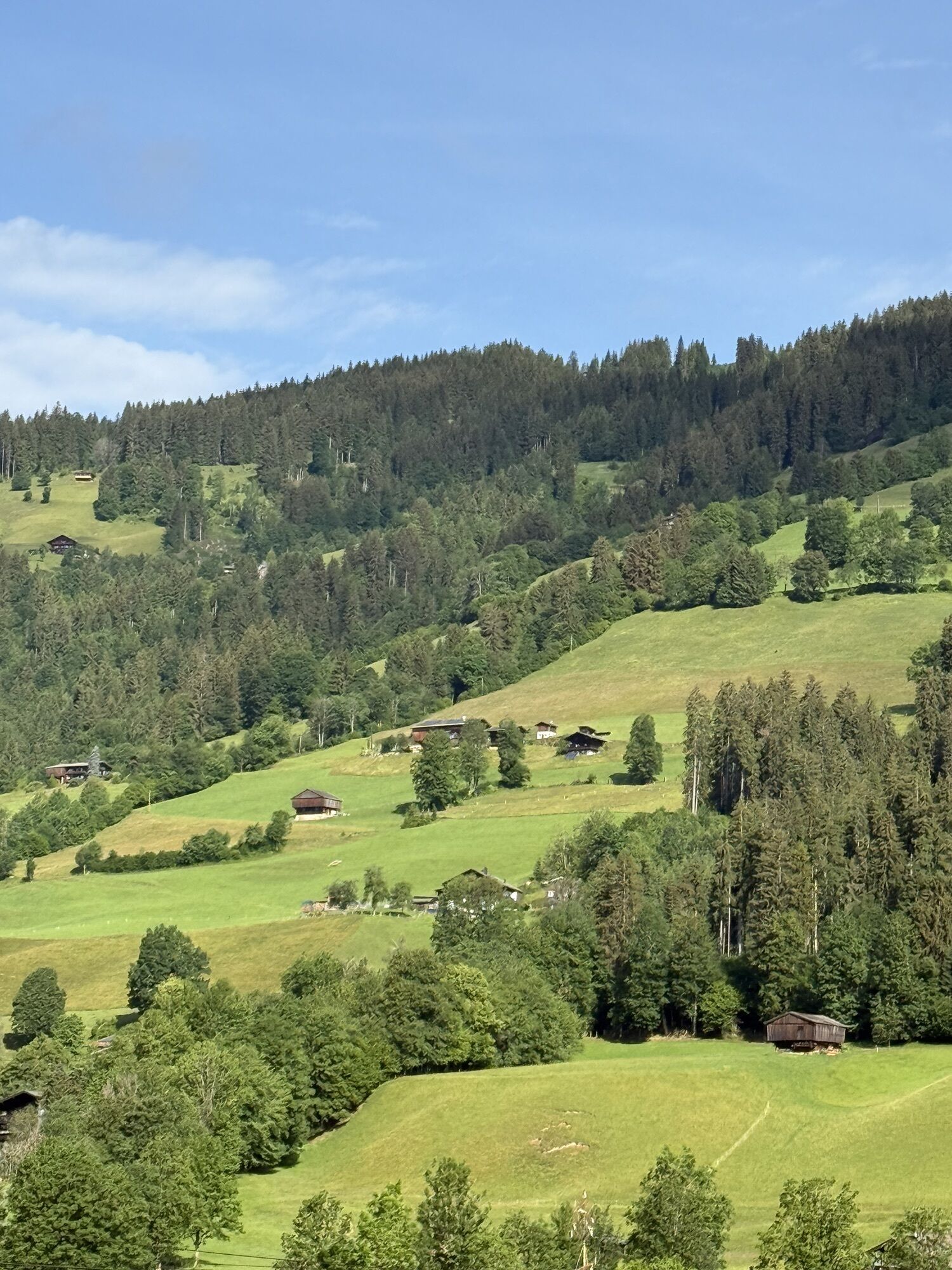
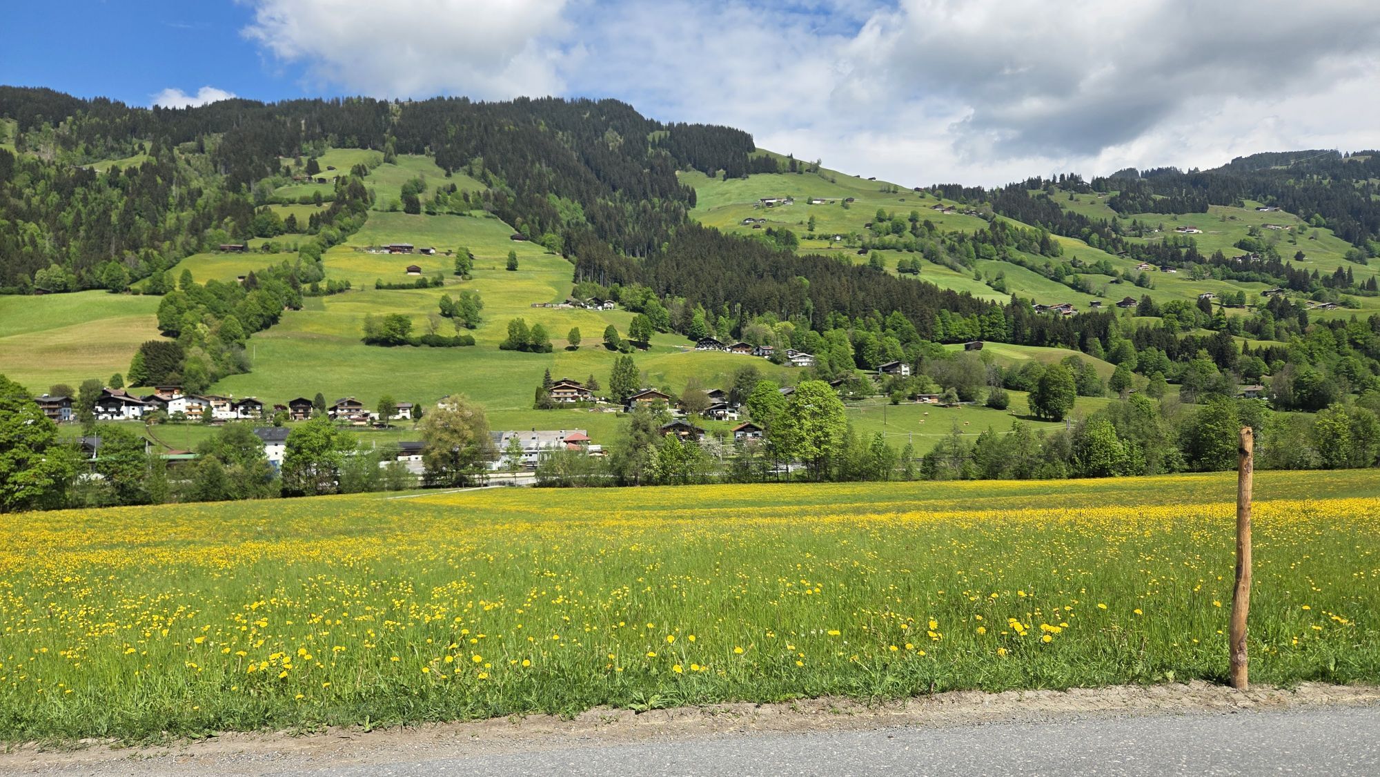
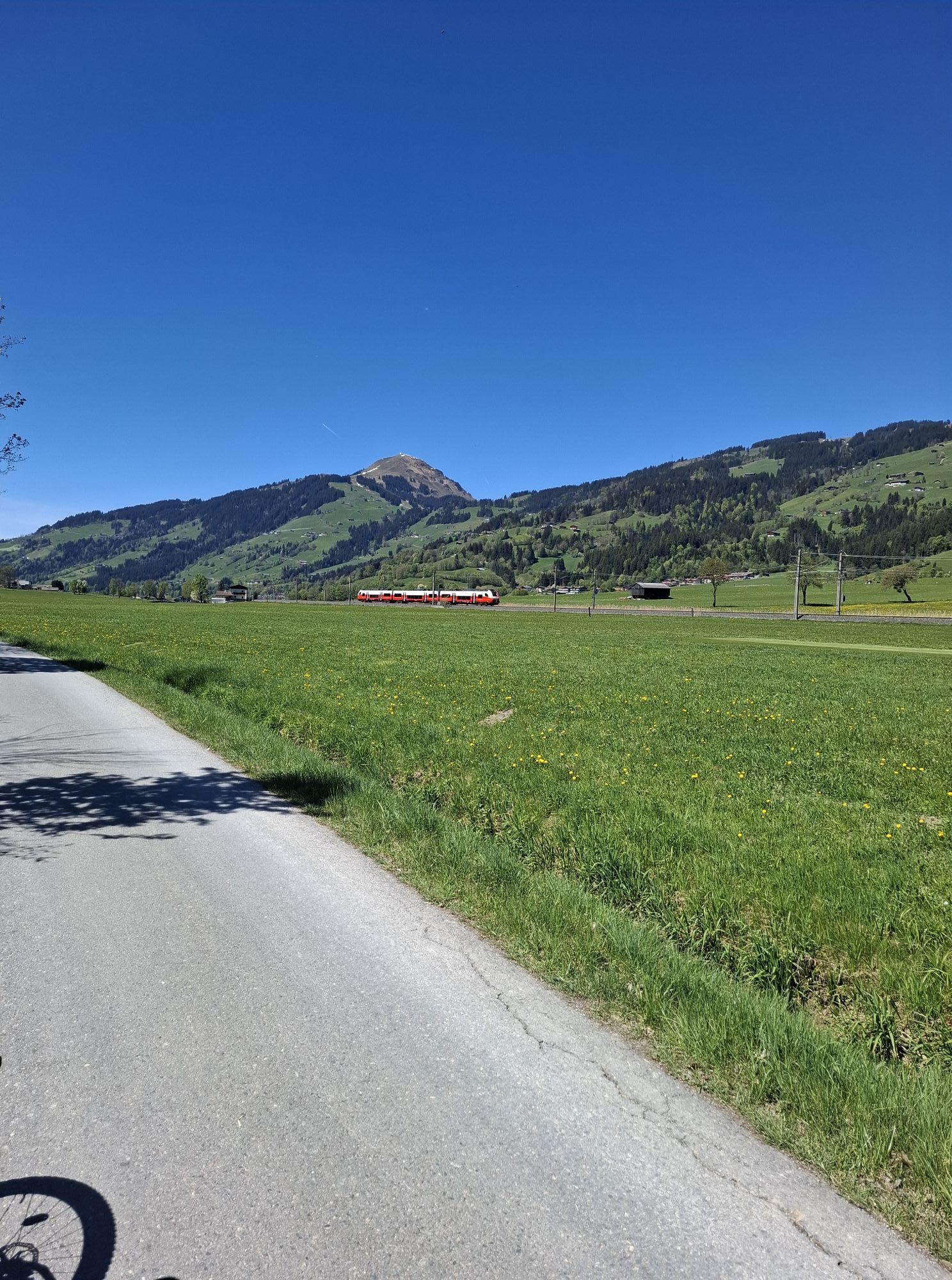
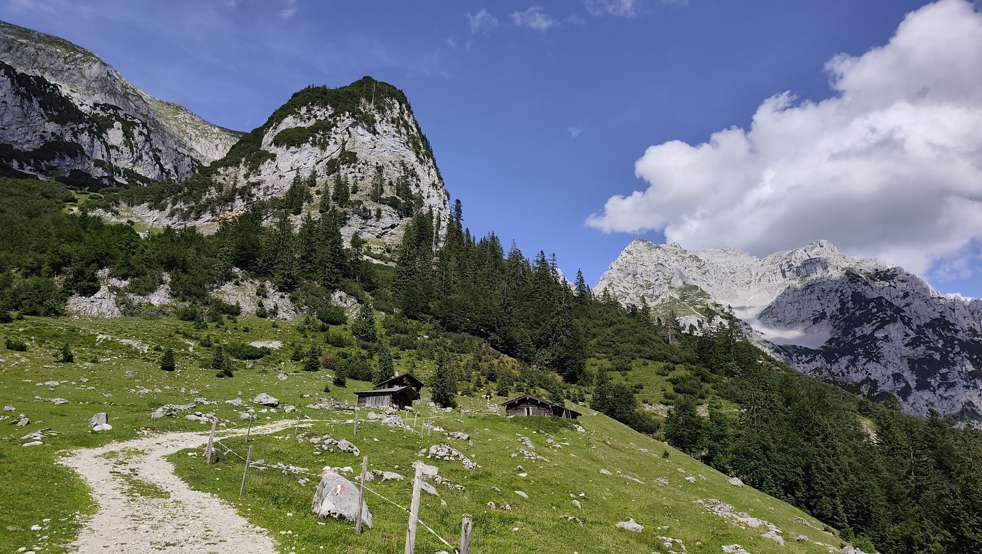
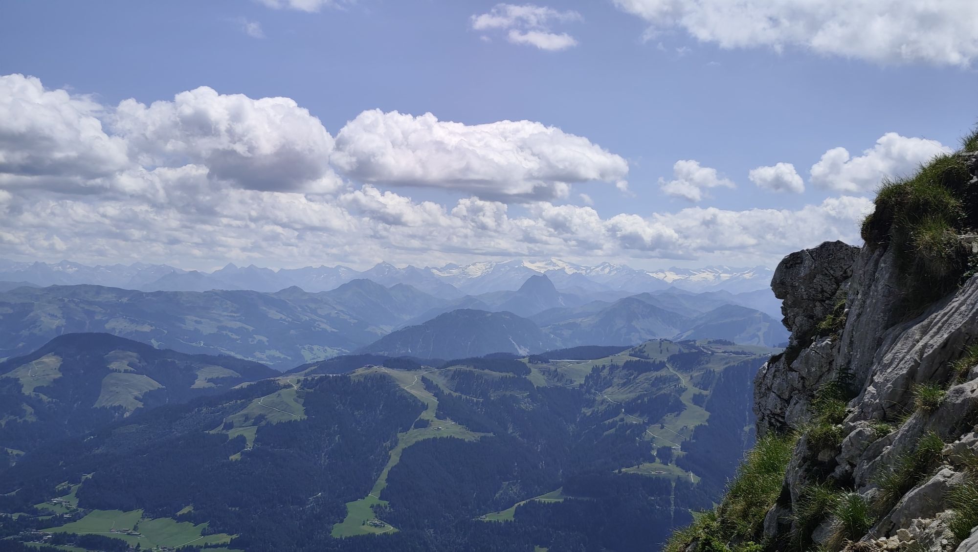
The Pillersee circuit combines a wonderfully broken route with a dreamy backdrop. There are a few short yet steep climbs which are tough.

Technique
n.d.
Endurance
5 / 6
Paysage
4 / 6
Expérience
n.d.
Meilleure période de l'année
Jan
Fév
Mar
Avr
Mai
Jun
Jul
Aoû
Sep
Oct
Nov
Déc
Auteur
Fourni par Tourismusverband Kufsteinerland
Partager la visite
Carte
08 - Pillersee circuit
difficile
Vélo de course
134,33 km
Erreur
Une erreur s'est produite. Veuillez réessayer.
Équipement

Cycling helmet, comfortable cycling clothing, change of clothes, wind protection, cycling gloves, possibly rucksack with water bottle and food, first aid equipment, possibly service/repair kit, cycling map, tour description and information material (GPX track), ID card, insurance card, cash

Informations sur l'itinéraire
Itinéraire

From the Inntal motorway A12, take the Kufstein Nord exit. 

Transports en commun

Kufstein main railway station is only a few minutes' walk from the starting point.

Parking

Kufstein centre

Pas encore d'évaluation
Écrire une évaluation

Les évaluations aident les autres utilisateurs à choisir leur prochaine aventure. Veuillez évaluer uniquement l'excursion, pas la météo ni votre casse-croûte.

Choisissez une des étoiles pour évaluer la visite
Mauvaise visite
Tour faible
Tour moyen
Bonne visite
Excellente visite
Randonnée et suivi

Randonnée et suivi

Randonnée et suivi
Plus de 550.000 propositions de circuits, des cartes détaillées et un planificateur d'itinéraire intuitif font de cette application un must pour tous les passionnés de nature.
bergfex