


18 - Spring Tour
Photos de nos utilisateurs
-
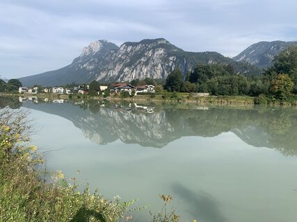
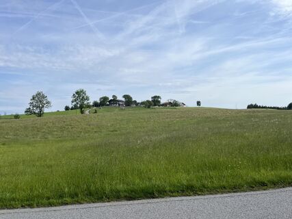
 © Wilhelm BöningCréé le 01.11.2025
 -
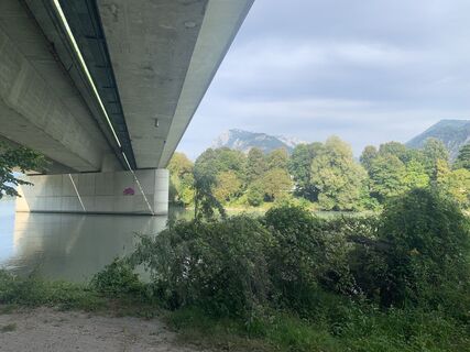
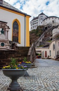
 © Wilhelm BöningCréé le 01.11.2025
 -
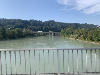
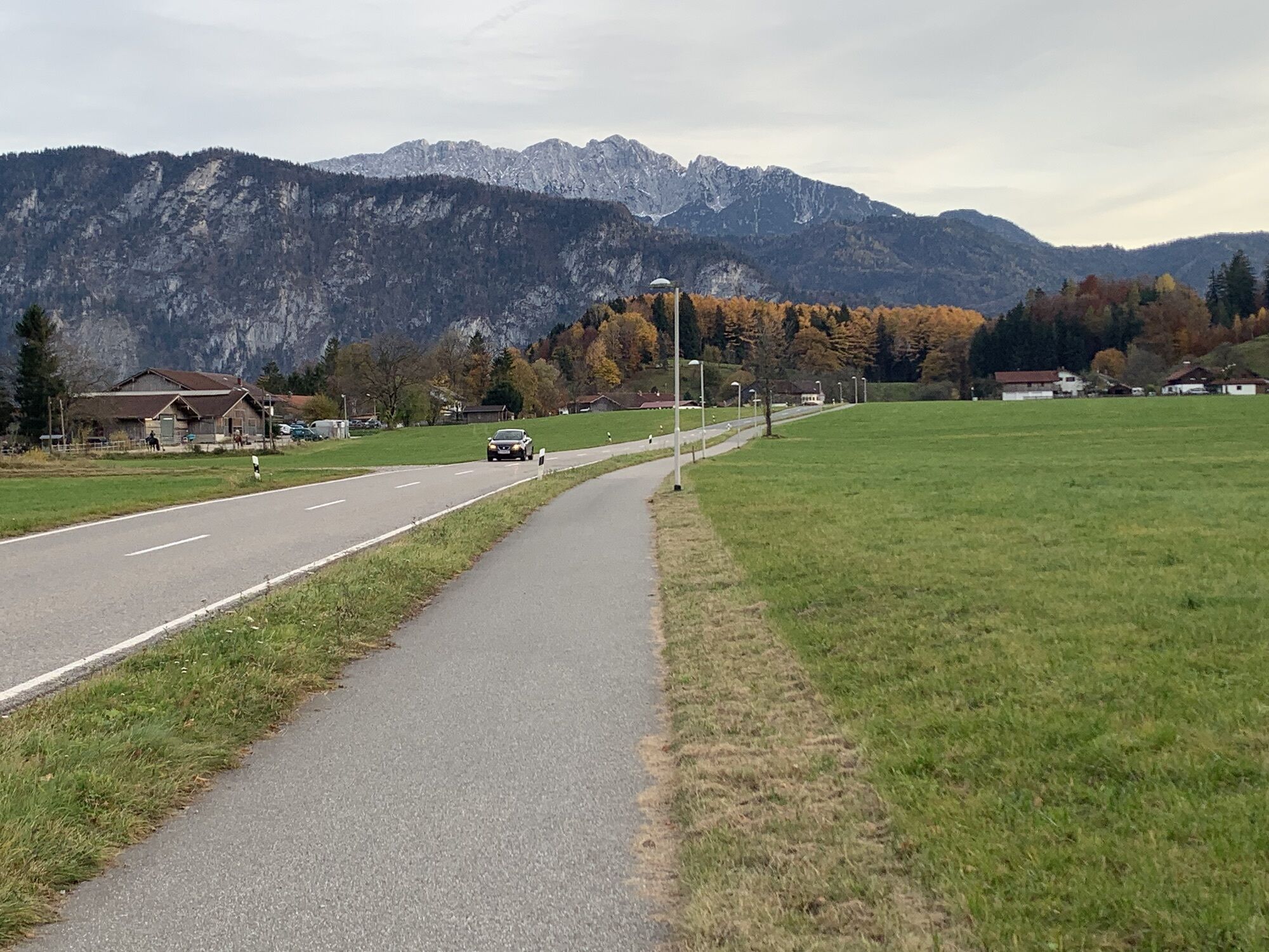
 © Wilhelm BöningCréé le 01.11.2025
 -

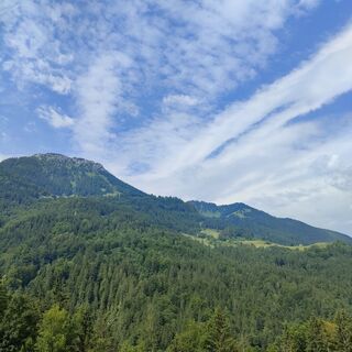
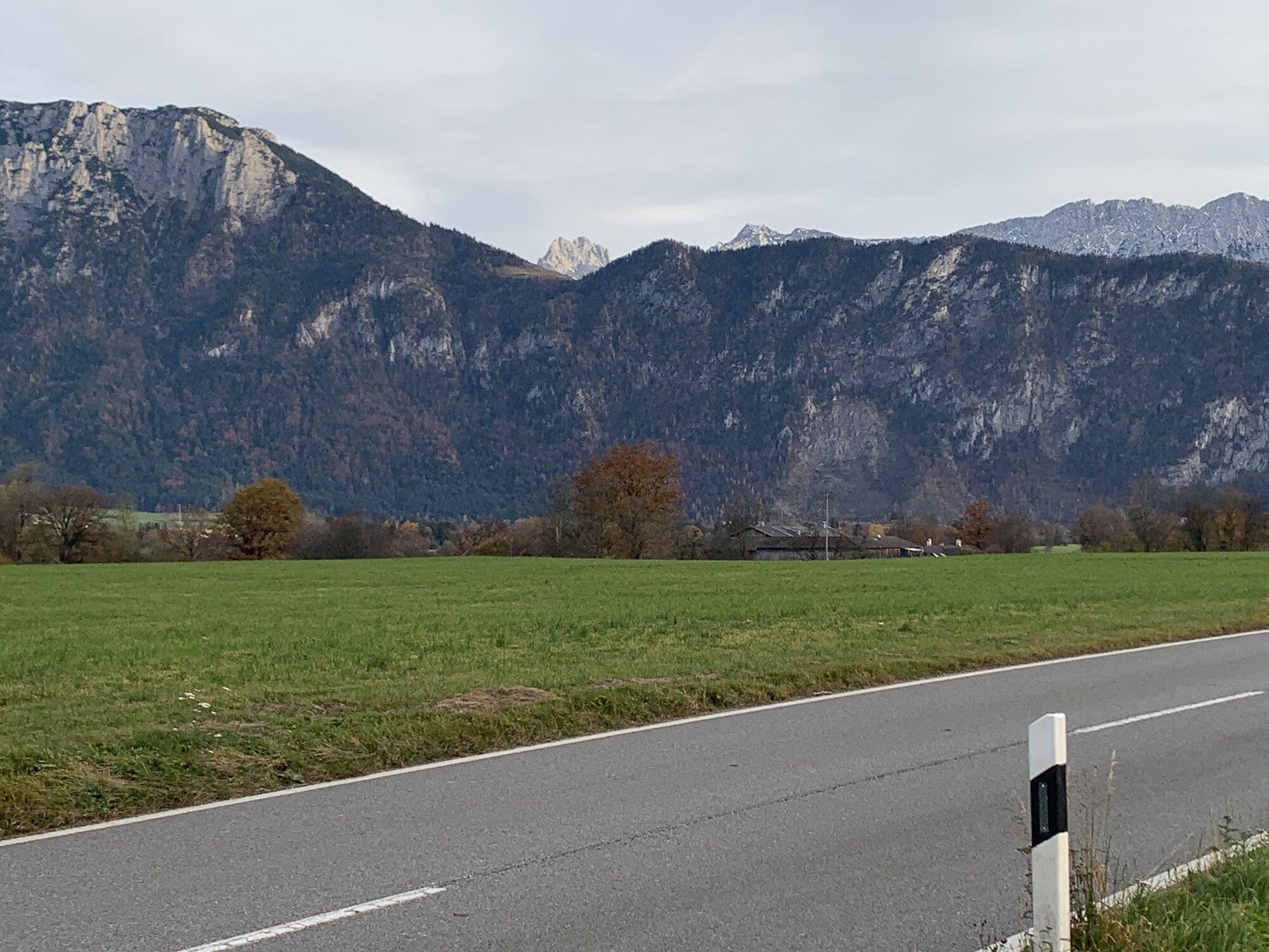
 © MarianneCréé le 04.09.2025
 -
 © MarianneCréé le 04.09.2025
 -
 © Wilhelm BöningCréé le 27.08.2025
 -
 © Wilhelm BöningCréé le 27.08.2025
 -
 © Wilhelm BöningCréé le 27.08.2025
 -
 © Wilhelm BöningCréé le 27.08.2025
 -
 © BibergfexCréé le 23.06.2025
 -
 © Ernst PürimayrCréé le 20.06.2025
 -
 © Ramona PronathCréé le 16.01.2026
 -

 © Christian GoissaCréé le 09.06.2025
 -
 © Christian GoissaCréé le 09.06.2025
 -
 © Andrej MeštrovićCréé le 13.04.2025
 -
 © Andreas StopperichCréé le 27.05.2024
 -
 © Jakob VidlerCréé le 03.04.2023


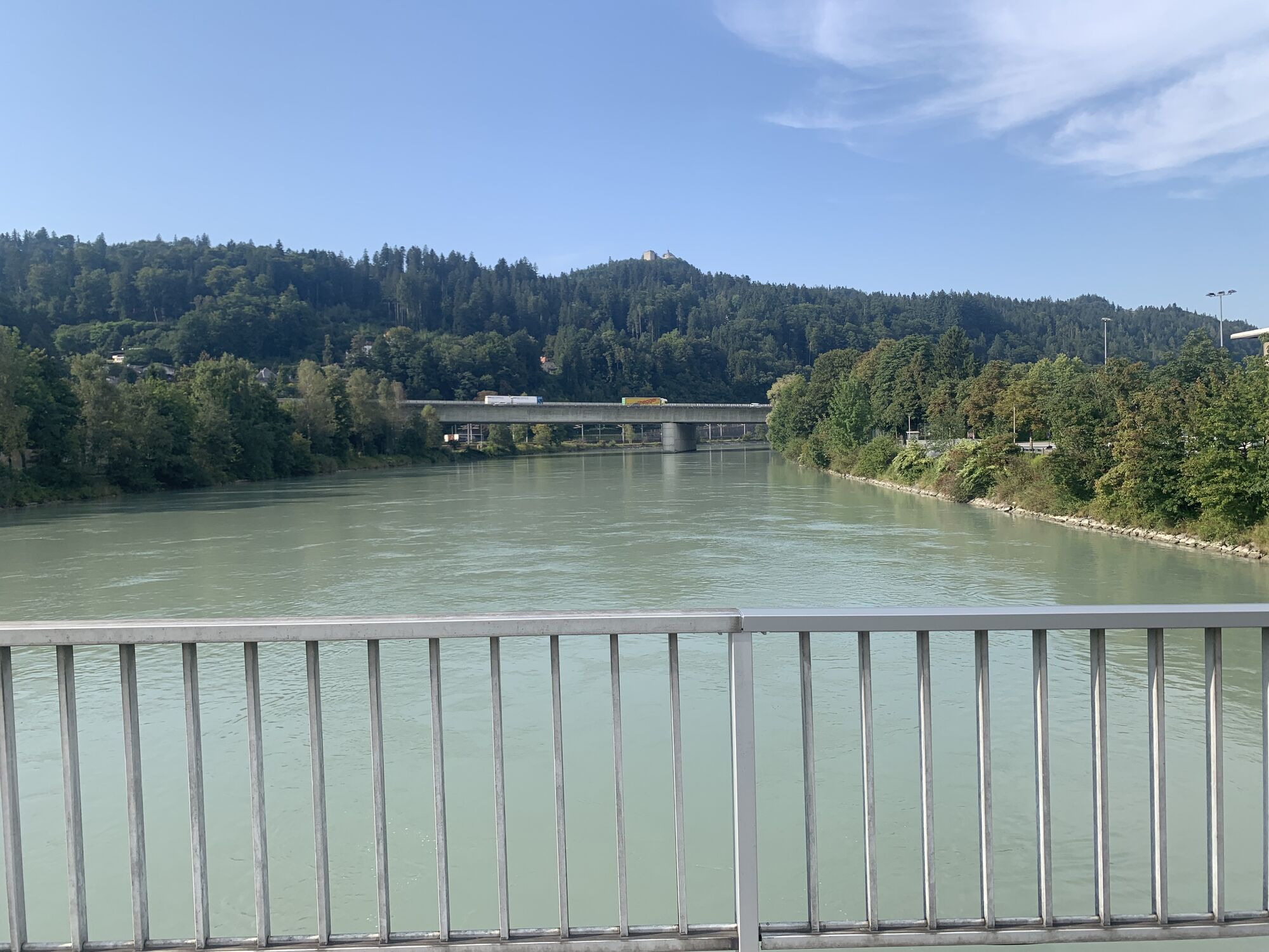
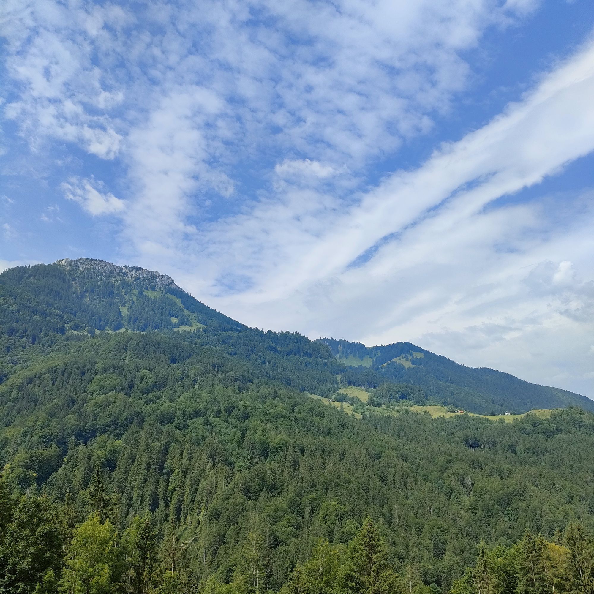
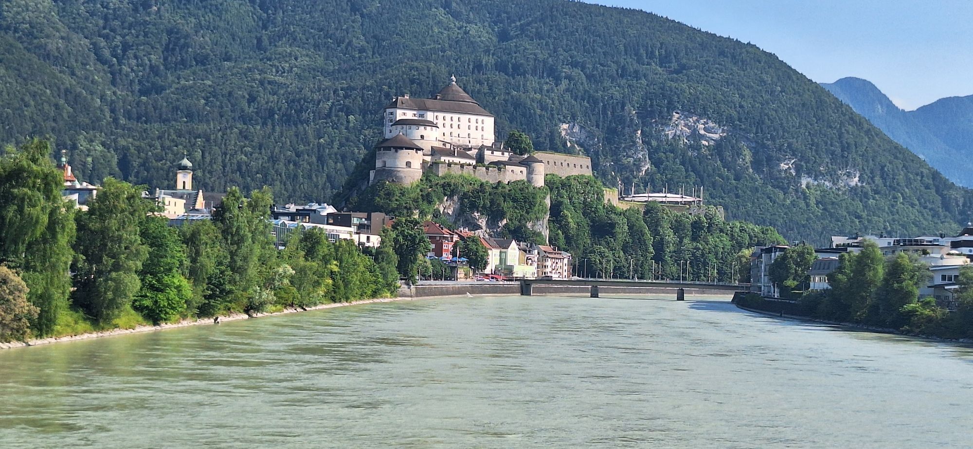

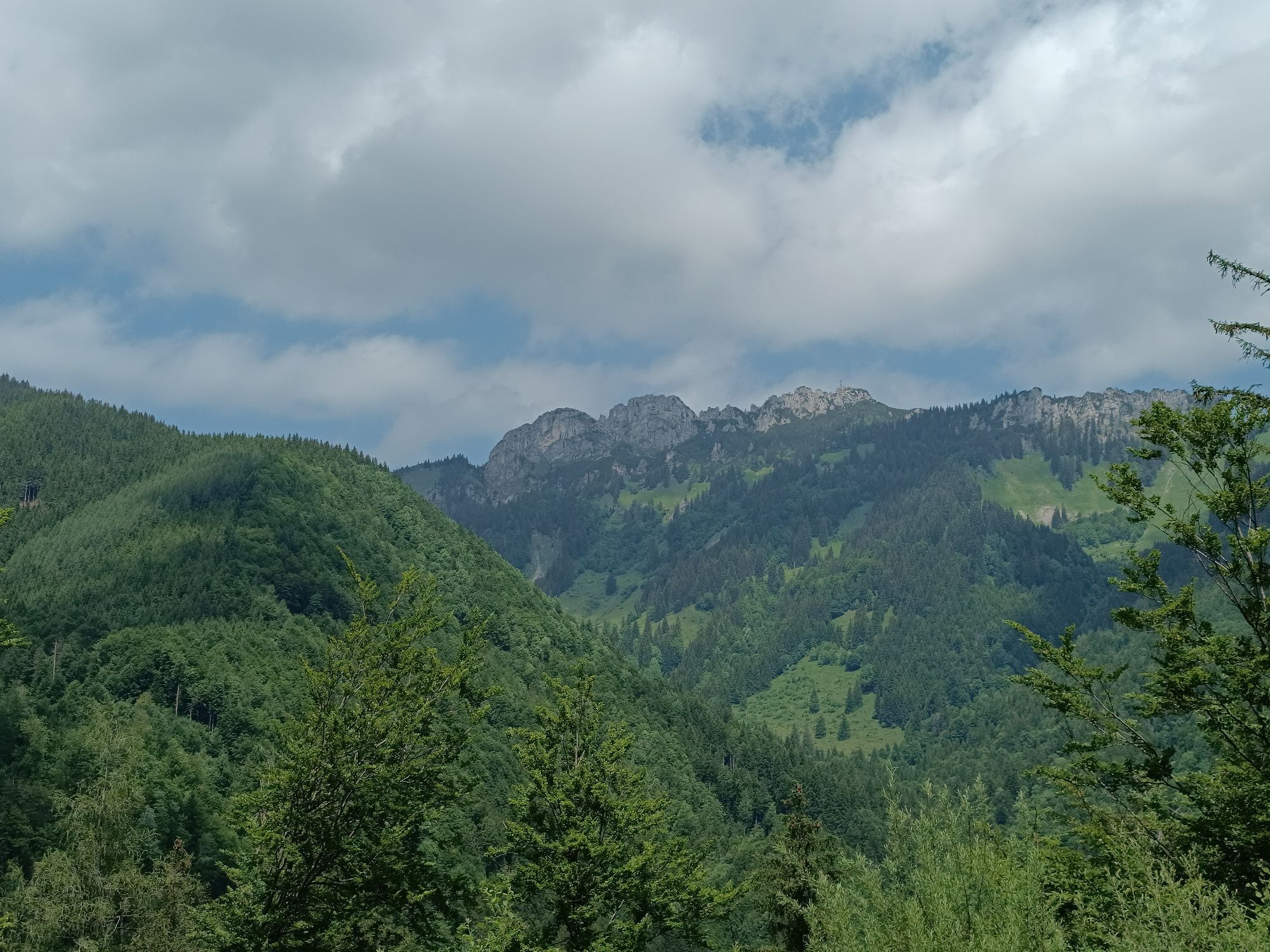
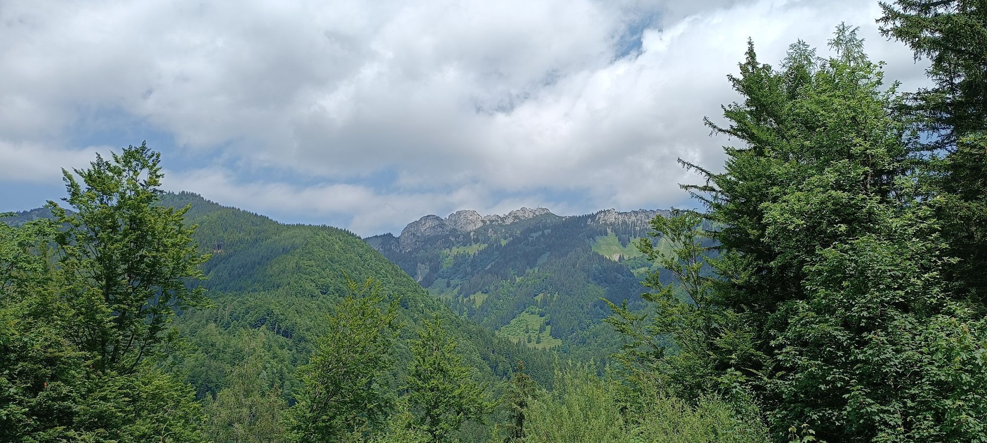
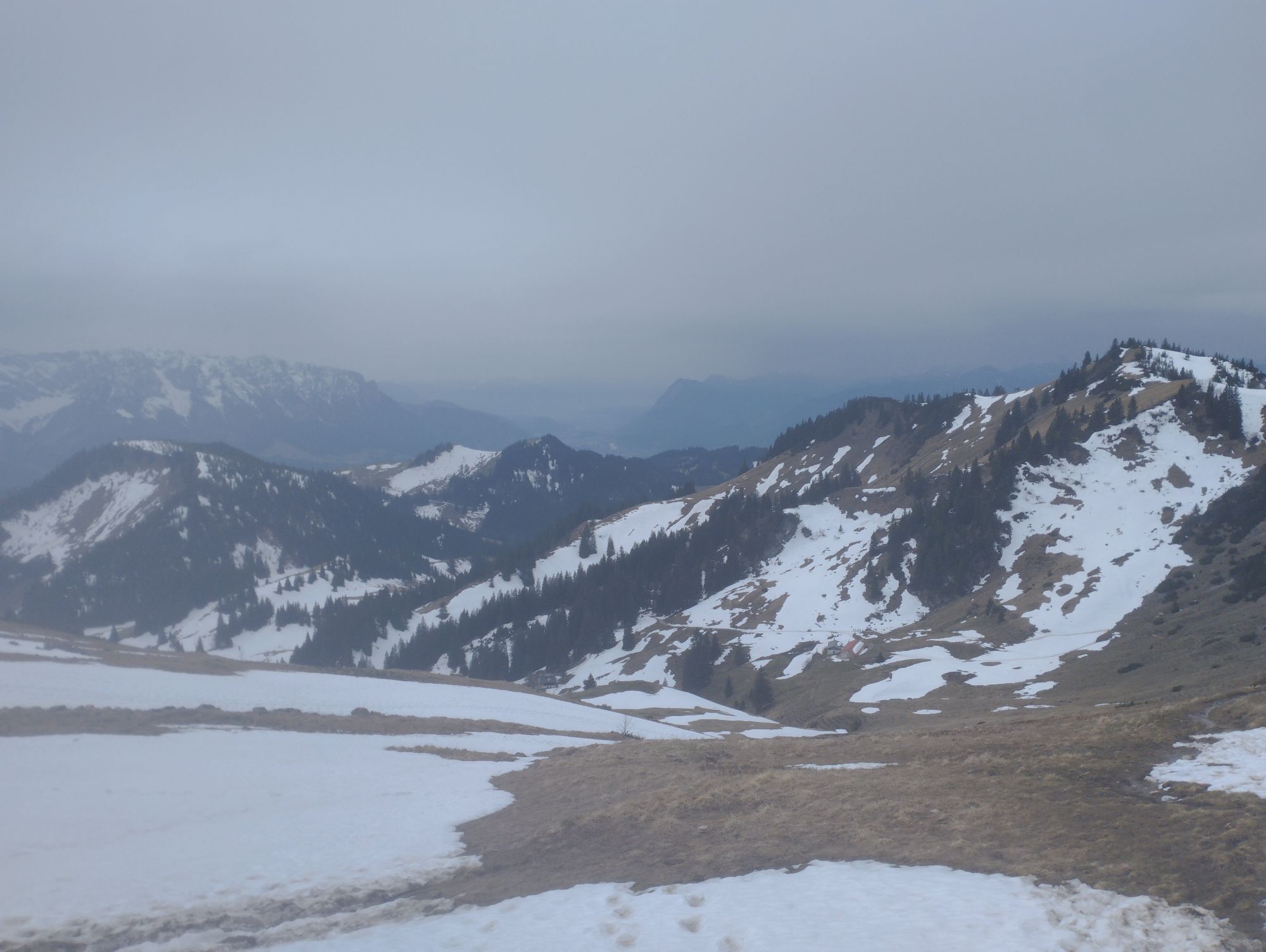
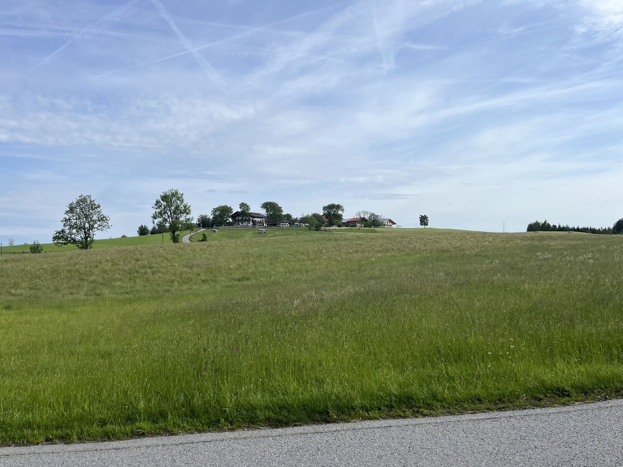
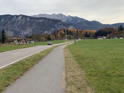
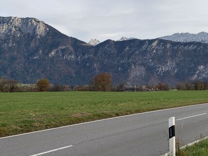
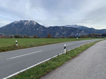
After a few easy kilometres for unicycling in the Inn valley towards Bavaria, the first ascent of the Tatzelwurm awaits you at Oberaudorf. Especially the first ascent is a tough one, but from the hamlet...
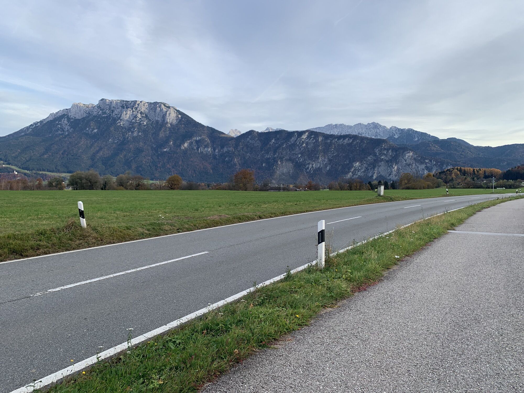
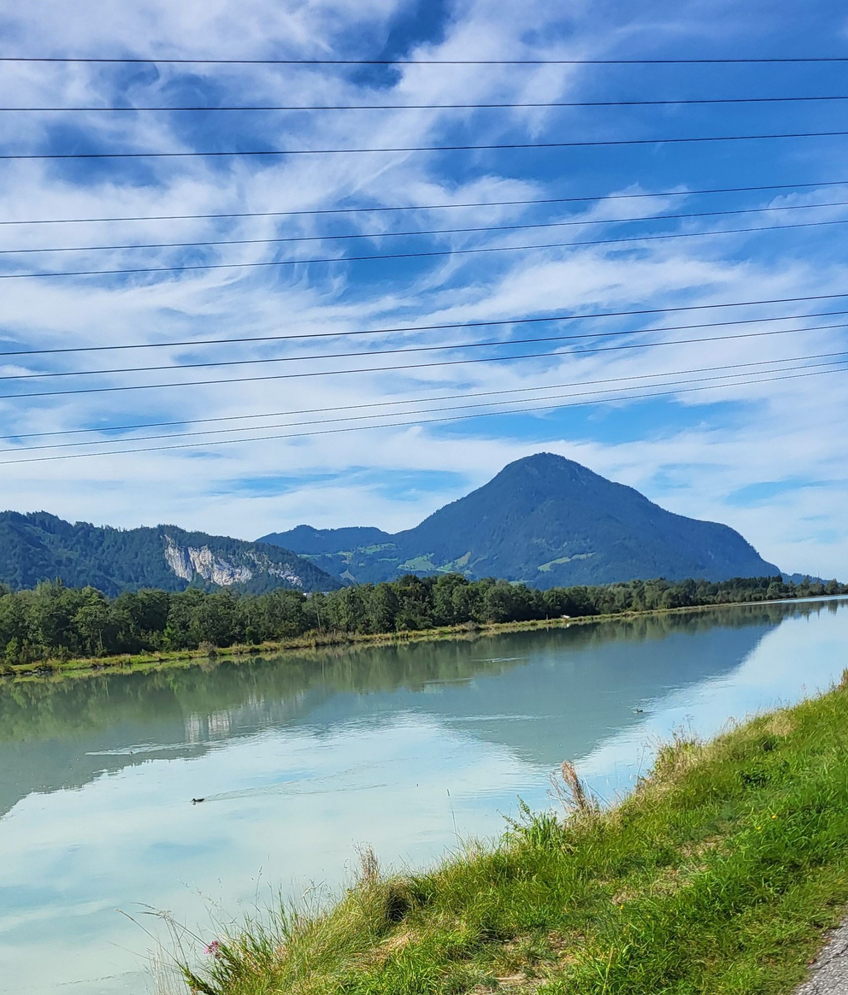
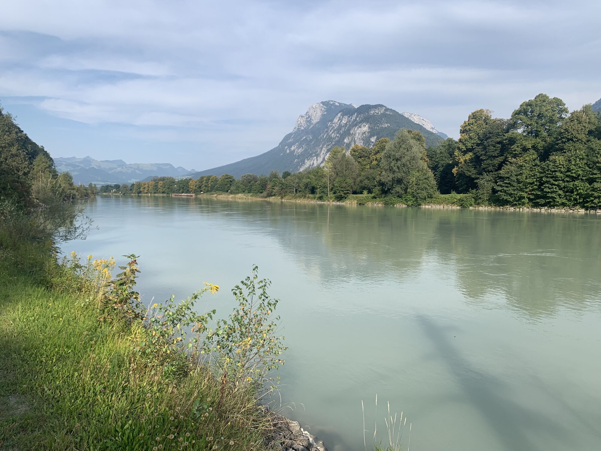
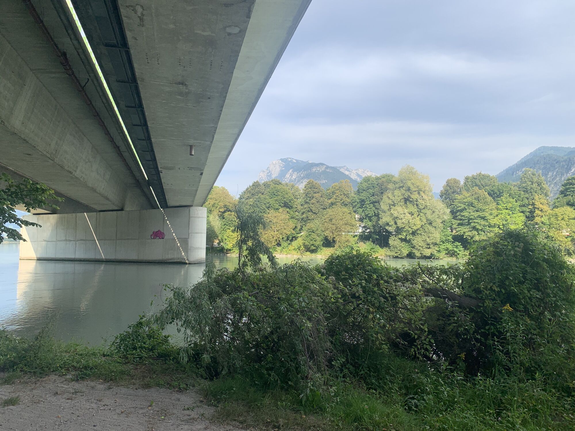
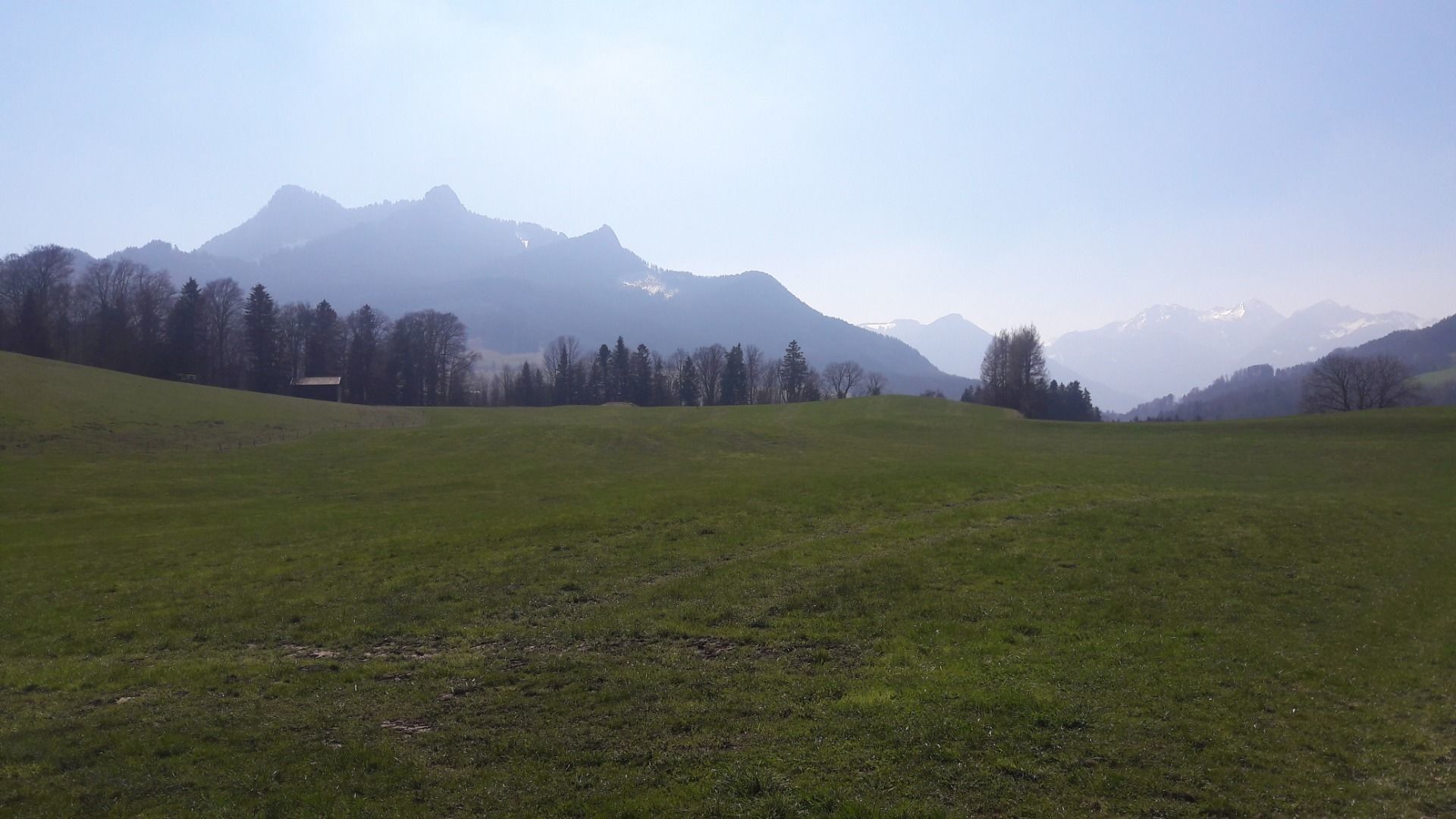
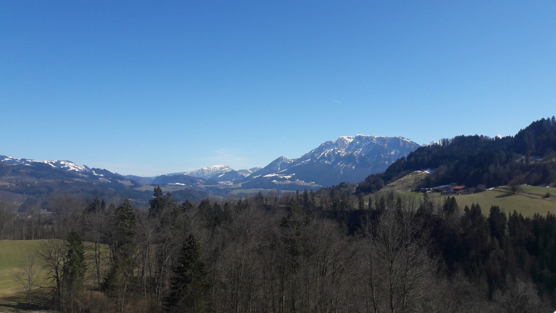
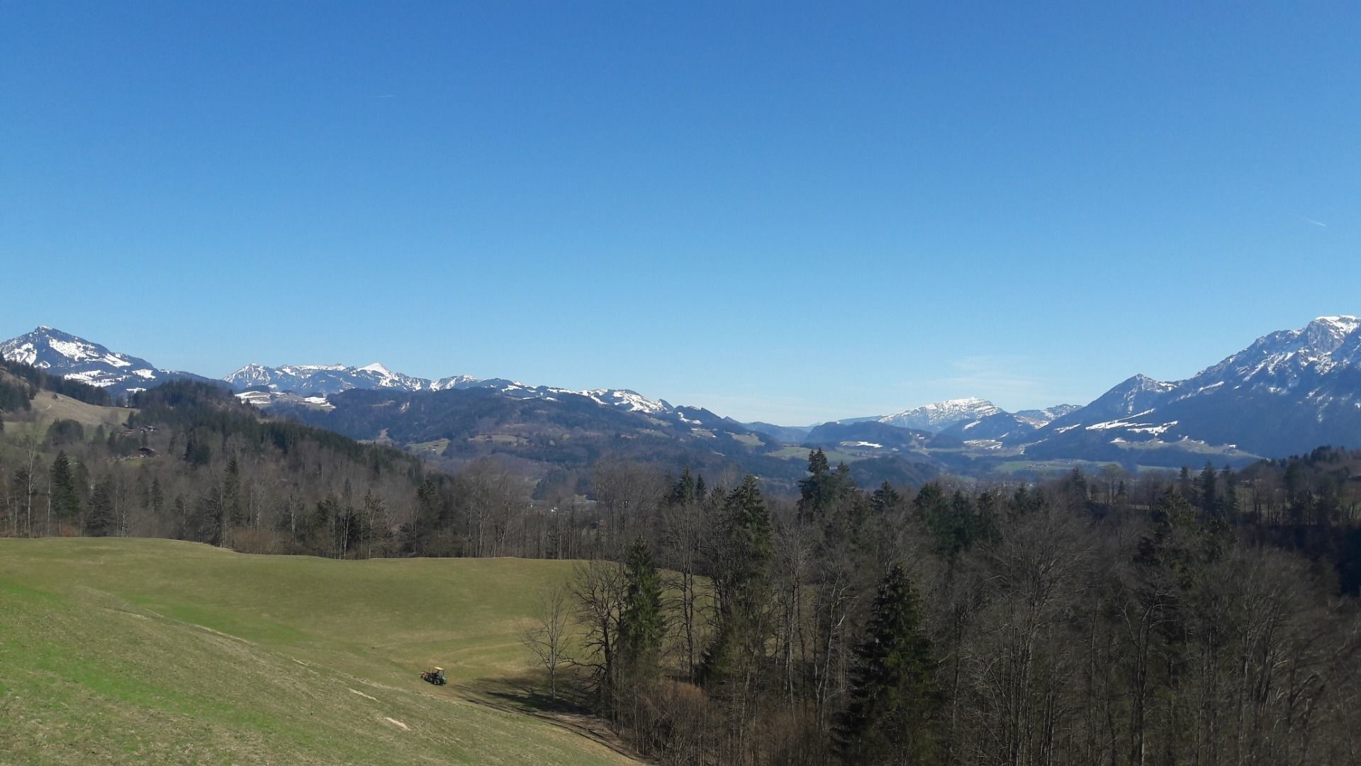
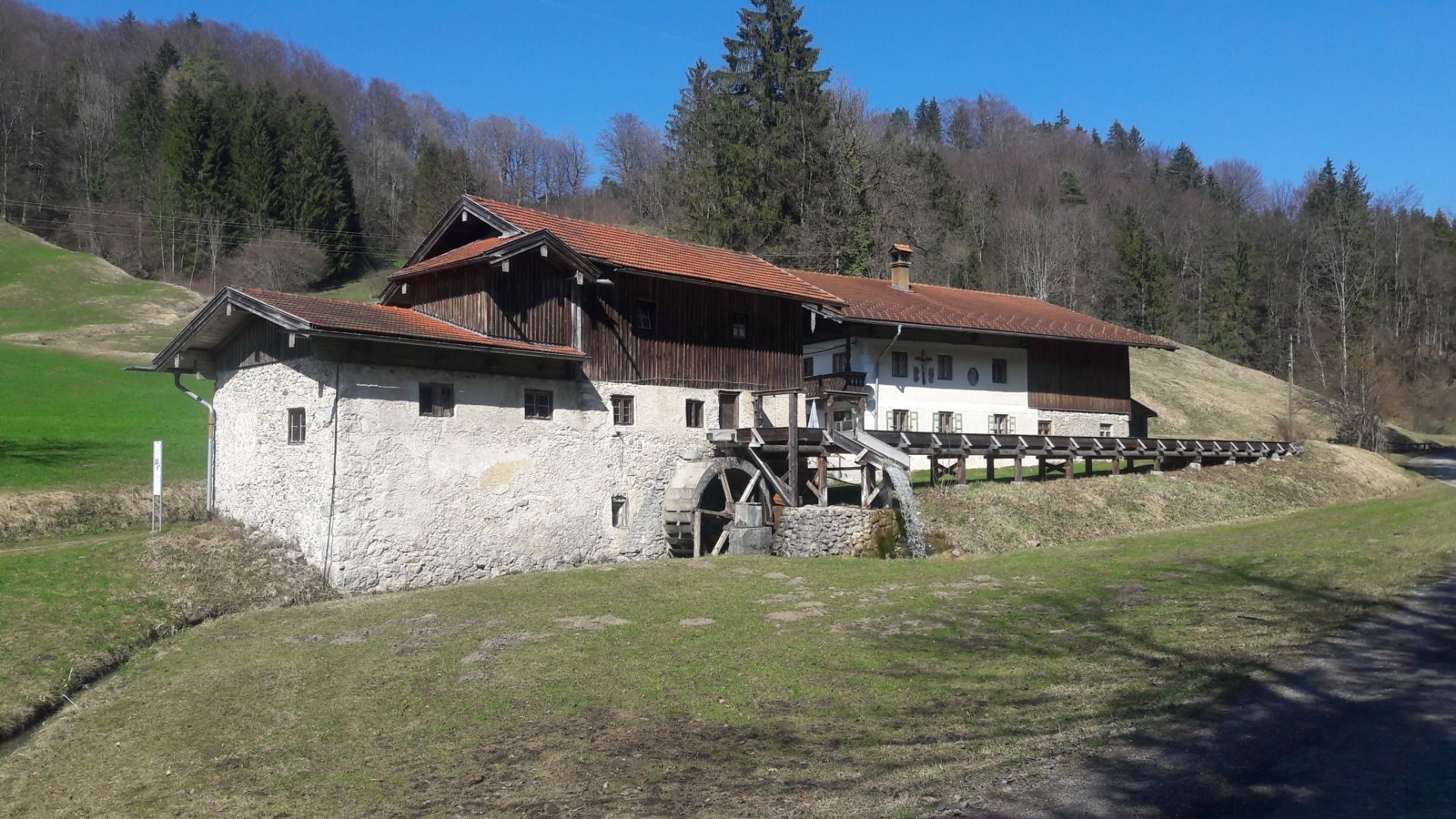
After a few easy kilometres for unicycling in the Inn valley towards Bavaria, the first ascent of the Tatzelwurm awaits you at Oberaudorf. Especially the first ascent is a tough one, but from the hamlet of Wurm the most is done. From Tatzelwurm the descent is up to 18% steep and shady. After a short break through Brannenburg and Nussdorf, you will start to the very idyllic Mühltal valley on the Samerberg. Cars are rather rare. Over the Samerberg it goes unconfirmed uphill and downhill, but always with a fantastic view of the German-Austrian border mountains. In Aschau, it is worth stopping at one of the numerous cafés before you step steadily uphill to Wildbichl on the Tyrolean side. From there you have only kilometres to go downhill, which are marked by the fascinating views of the Tyrolean Inn Valley.
Cycling helmet, comfortable cycling clothing, change of clothes, wind protection, cycling gloves, possibly rucksack with water bottle and food, first aid equipment, possibly service/repair kit, cycling map, tour description and information material (GPX track), ID card, insurance card, cash
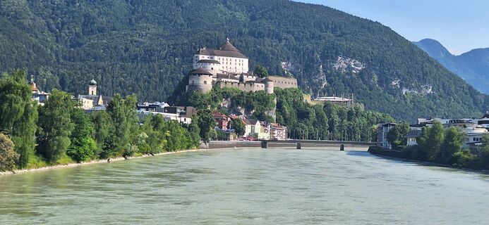
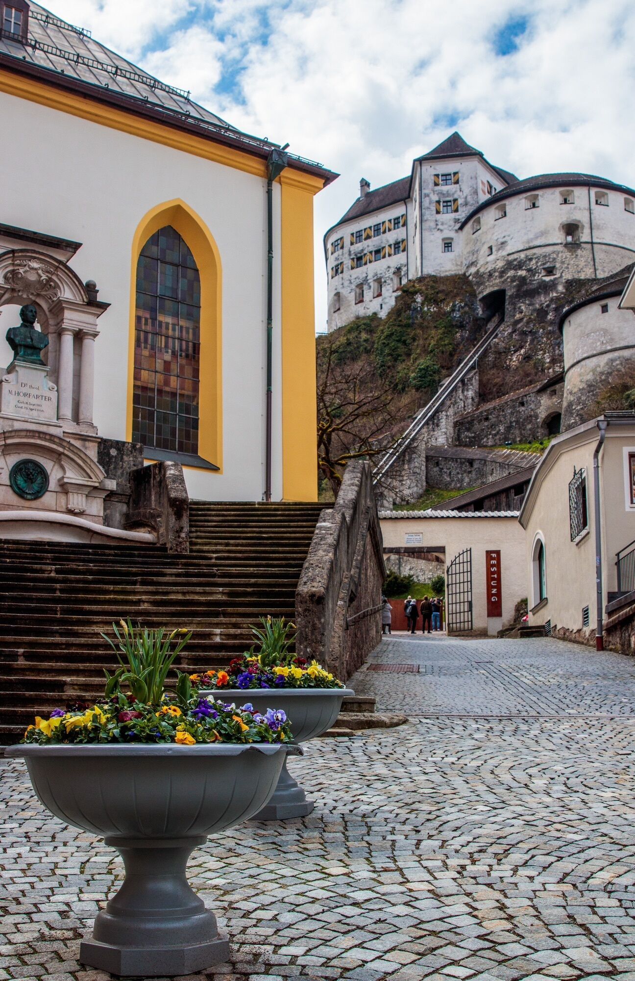
From the Inntal motorway A12, take the Kufstein Nord exit.
Kufstein main railway station is only a few minutes' walk from the starting point.
Kufstein centre
Webcams de la tournée
-
Hocheck
-
Kampenwandbahn
-
Talstation Hocheck
-
Aschau im Chiemgau - Cafe Pauli
-
Ebbs - Oberwirt
-
Hocheck
-
Hocheck
-
Hocheck
-
Kampenwandbahn
-
Kampenwandbahn
-
Kampenwandbahn
-
Kampenwandbahn
-
Kampenwandbahn
-
Speckalm
-
Kitzlahner 4er Sessellift Berg
-
Weinbergerhaus - Brentenjoch
-
Kitzlahner 4er Sessellift Berg
-
Pendlinghaus - Kufstein
-
Pendlinghaus - Kufstein
-
Sudelfeld - Walleralm
-
Bernau am Chiemsee
-
Bernau am Chiemsee - Hittenkirchen
-
Sudelfeld - Waldkopf
-
Moorgebiet Schwemm
-
Moorgebiet Schwemm
-
Moorgebiet Schwemm
-
Moorgebiet Schwemm
-
Moorgebiet Schwemm
-
Moorgebiet Schwemm
-
Hochries West
-
Hochries Ost
-
Hochries Süd
-
Kampenwand
-
Thiersee - Ticklhof
-
Samerberg
-
Kampenwandbahn
-
Hochries Nord
-
Priener Hütte
-
Priener Hütte
Parcours populaires à proximité
-
4,8
Wendelstein
moyenRandonnée 11,2 km -
4,4
Der Schmugglerweg von Kössen zum Klobenstein
facileChemin thématique 7,23 km -
3,9
Feichteck und Hochries
moyenRandonnée 11,5 km -
4,7
Musikantensteig zur Naunspitze
moyenRandonnée 8,96 km -
4,6
Wildalpjoch und Käserwand
moyenRandonnée 7 km -
3,3
Kaisertal Rund-Wanderung
moyenRandonnée 13,9 km -
4,6
Geigelstein
moyenRandonnée 14,5 km -
4,4
Heuberg und Kitzstein
moyenRandonnée 8,51 km -
5,0
Priener Hütte
moyenRandonnée 7,99 km -
4,1
Am Jenbach zur Wirtsalm
moyenRandonnée 5,09 km

Randonnée et suivi


Ne manquez pas les offres et l'inspiration pour vos prochaines vacances
Votre adresse électronique a été ajouté à la liste de diffusion.