







Pölvenradrunde
You can start the tour from any point along the Pölvenradrunde.
Starting from Bad Häring, the tour leads along the main road southwest towards Wörgl. From the Hotel Panorama Royal the route goes steeply...
You can start the tour from any point along the Pölvenradrunde.
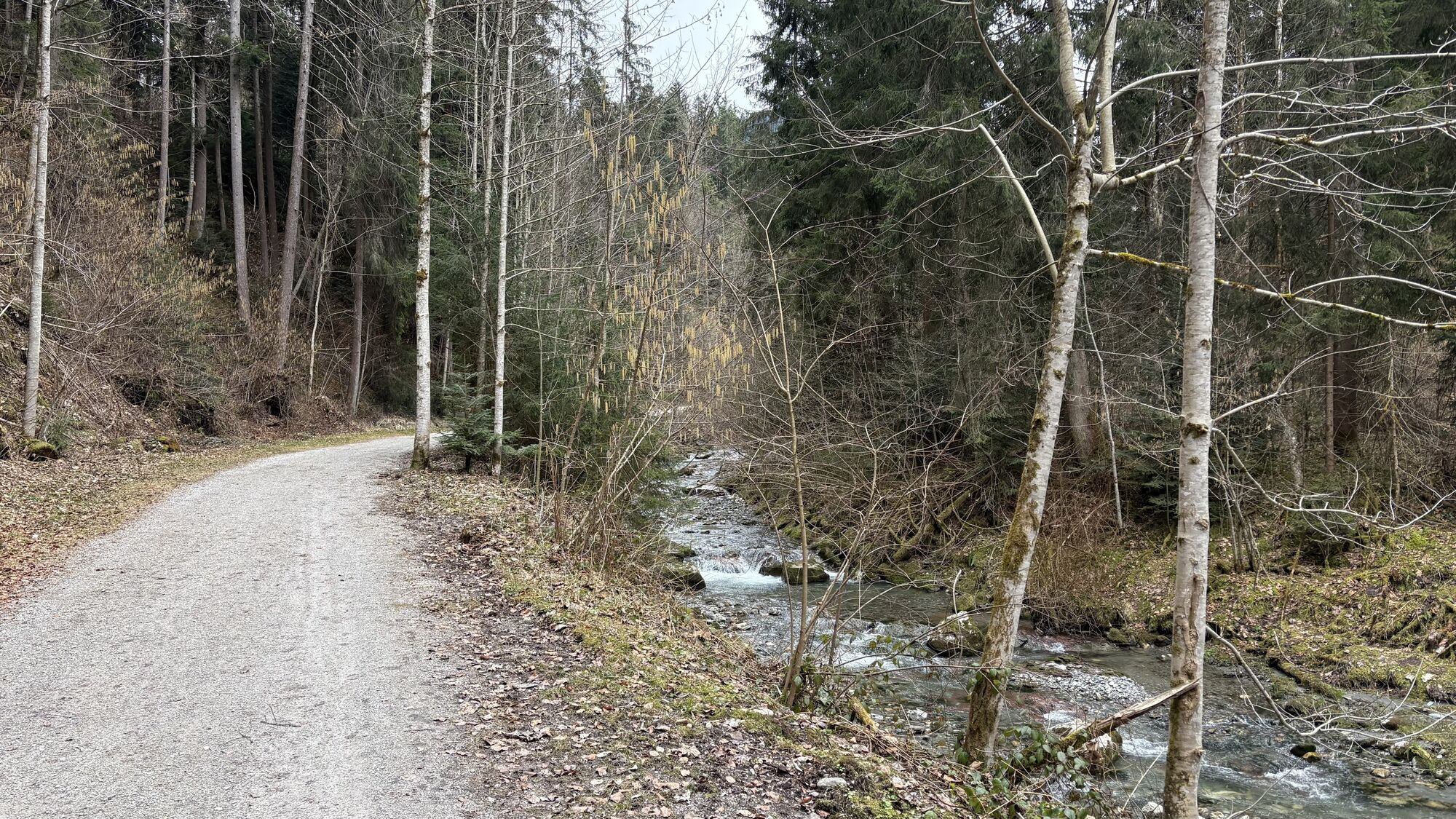
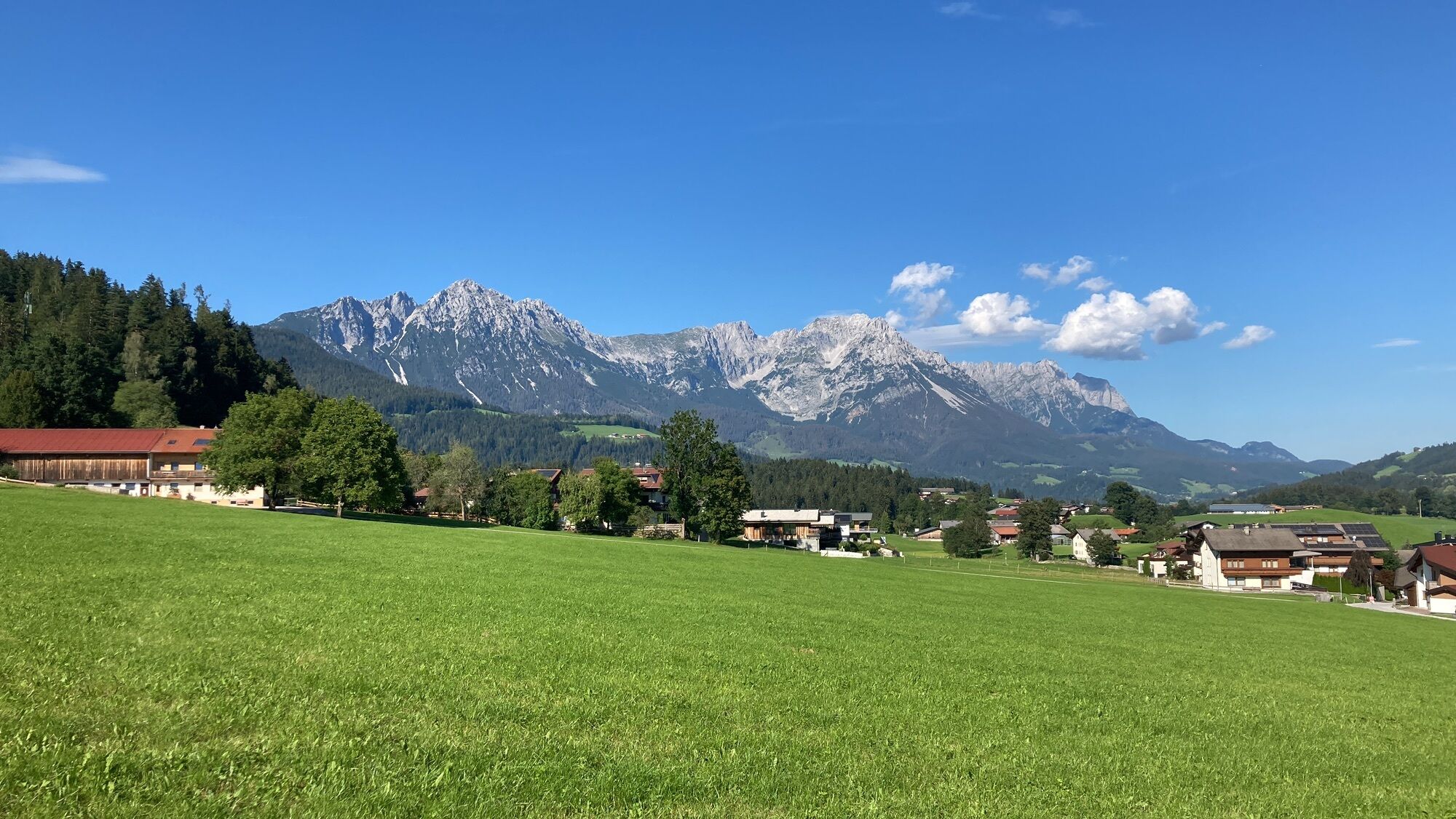
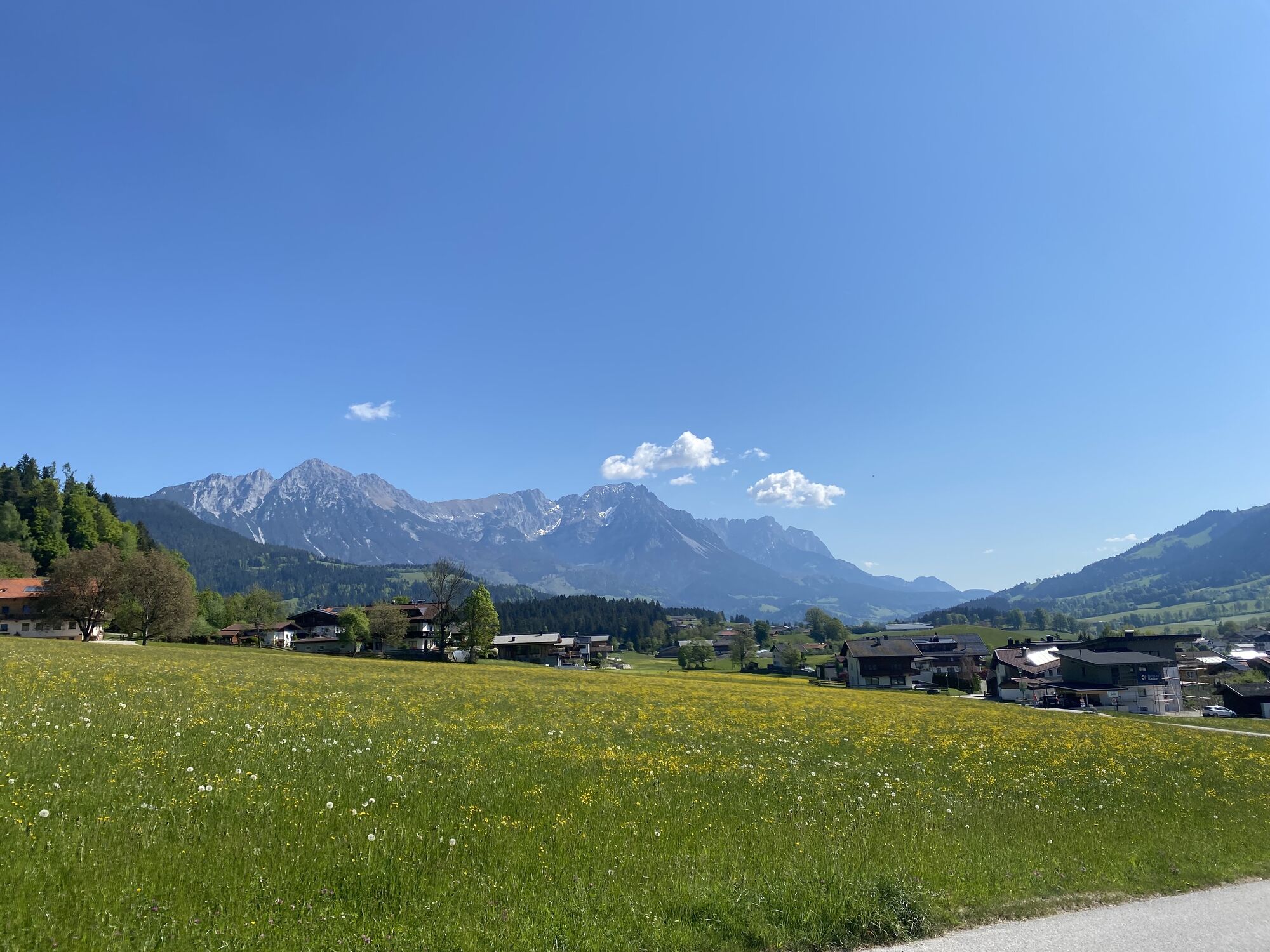
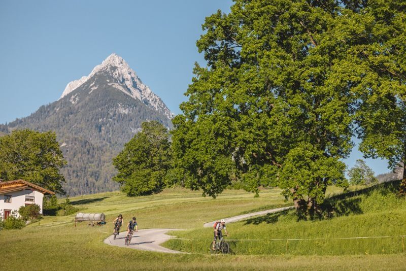
Starting from Bad Häring, the tour leads along the main road southwest towards Wörgl. From the Hotel Panorama Royal the route goes steeply downhill on the Gasteigstraße, following the signs to cycle path 14 along the Brixentaler Ache. On the gravelled cycle path you head into the valley - always along the Ache - through the village of Bruckhäusl. For about 200 m the route now leads along the Loferer Bundesstraße, before it turns left uphill to the Oberluechhof. The over 500 year old farm on the Roman road knows how to inspire in itself. It is also worth taking a detour to Helene Mayr's bridal and traditional fashion store on the farm.
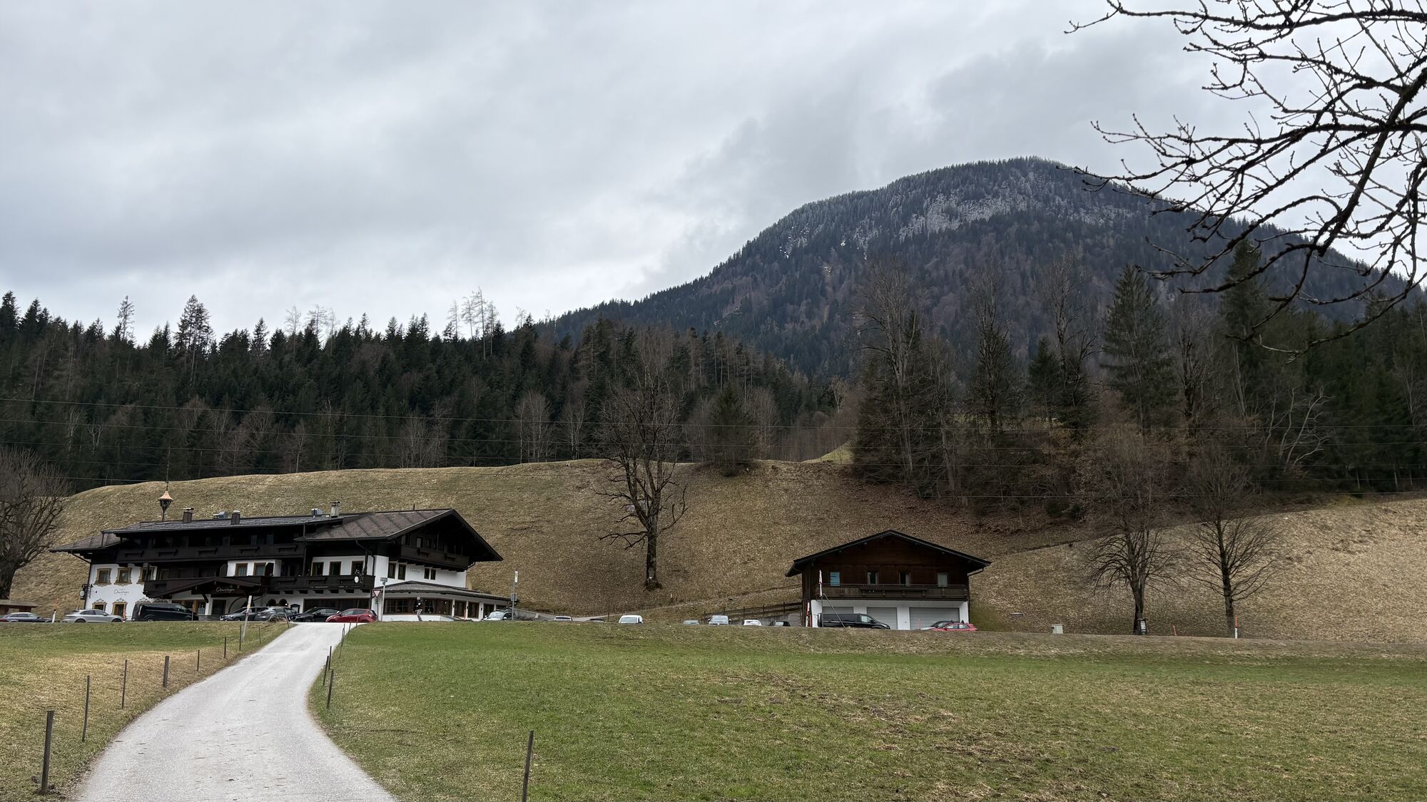
The route continues along the Römerweg, always with a view above the valley floor and past beautifully decorated farms, to the Itter district of Mühltal, where you can fortify yourself at the traditional Gasthof Rösslwirt before continuing past the brand new Salvista gondola lift in Itter on cycle path no. 14 in the direction of Söll.
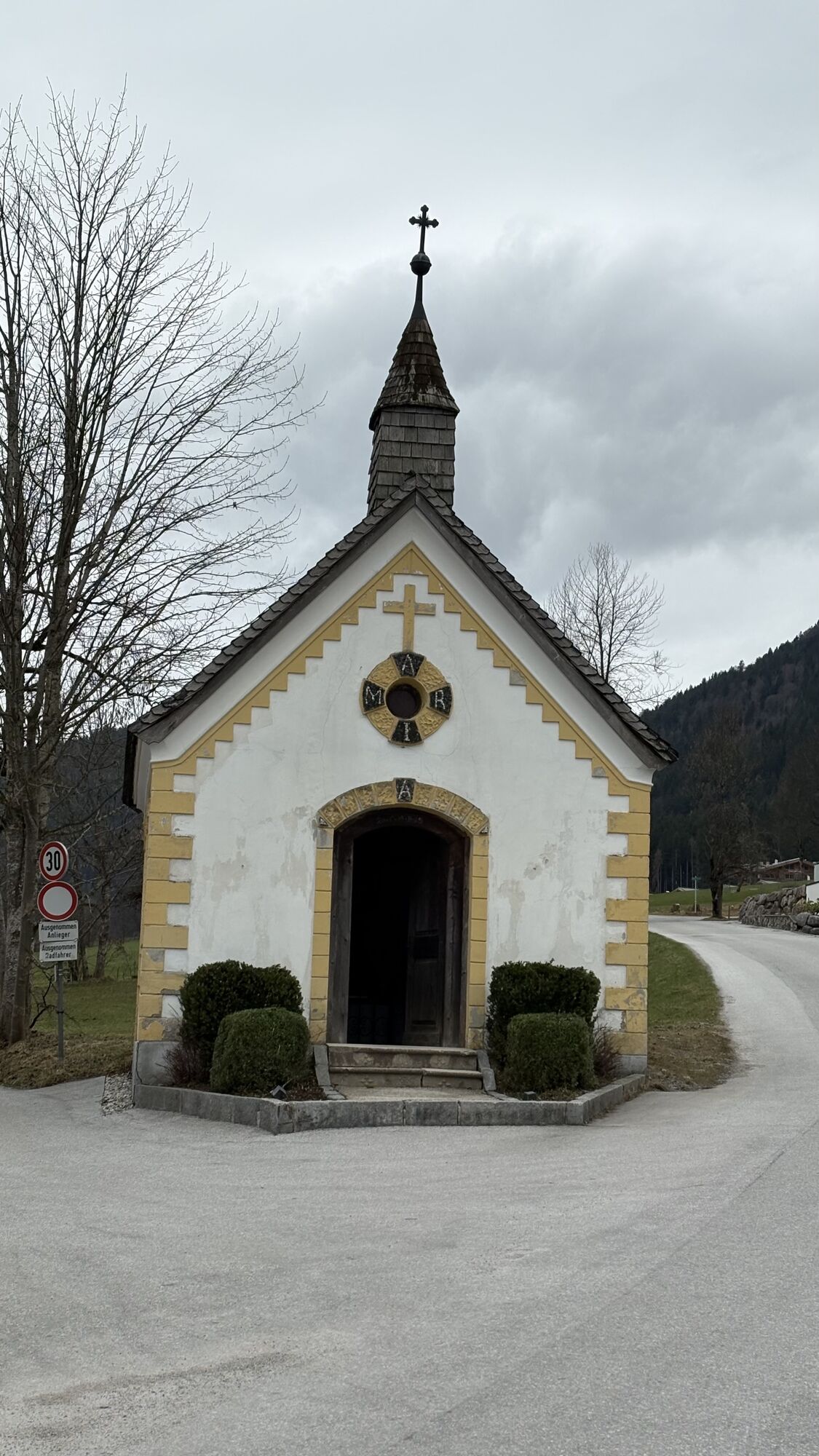
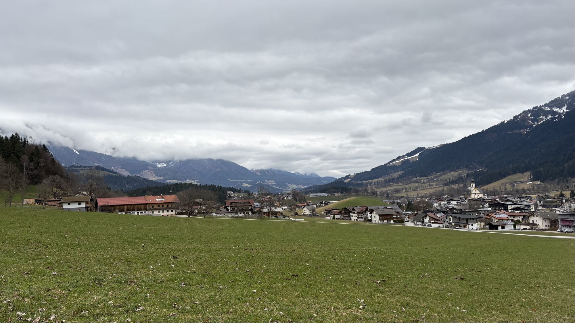
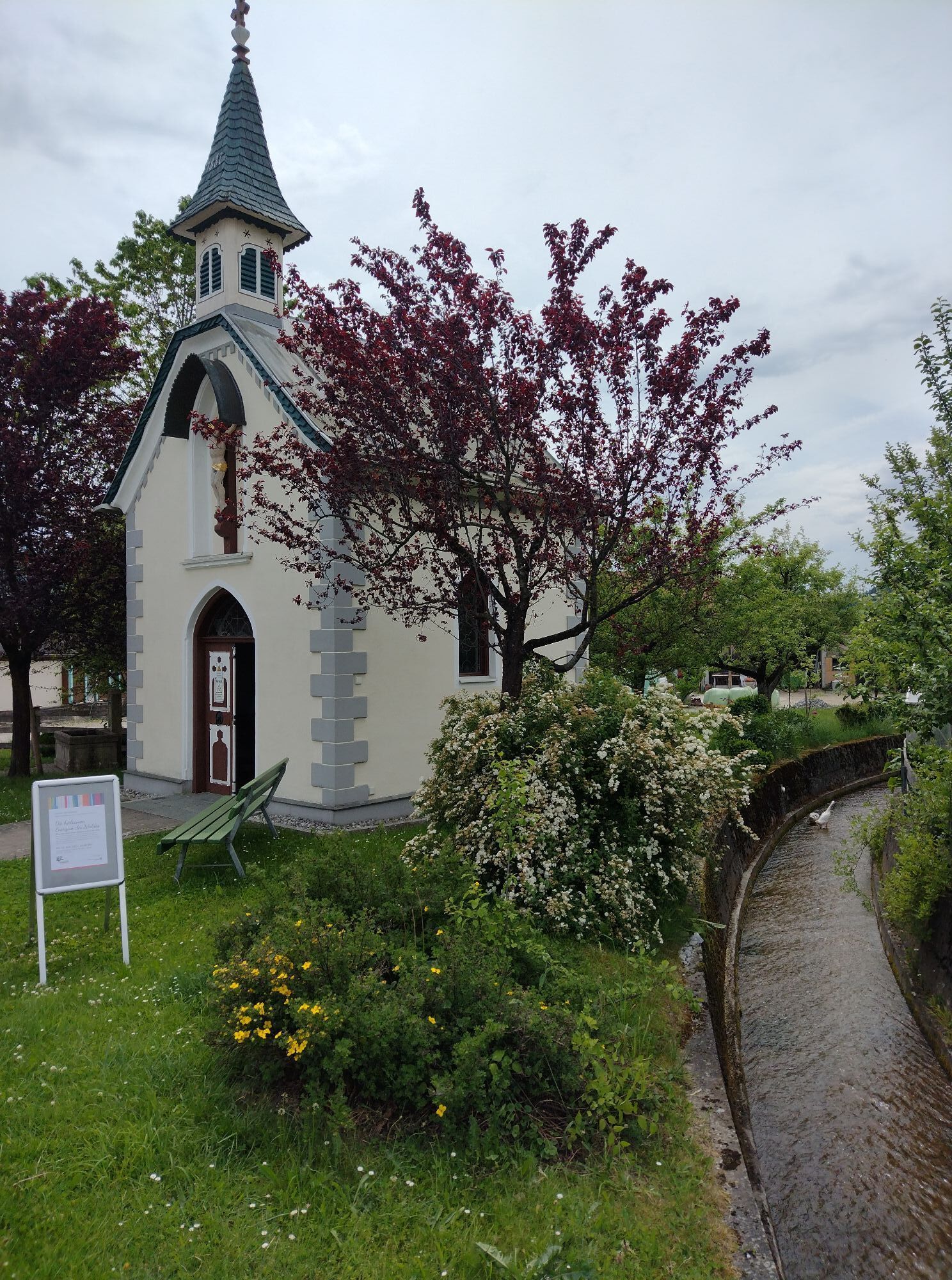
Immediately after the Itter cable car, you ride through the underpass past the Ager Speck and always along the Luecher Bach, in the Steinerbach district. At the Ledererbauern (opposite is the Denggenhof) turn left and immediately right again, past beautiful meadows to the Pirchmooser Chapel built in 1896 and shortly after downhill through the district of the same name into the village center of Söll. Here you can enjoy a well-deserved break and culinary refreshment in one of the cozy restaurants. Continue past the fire station through the district of Gänsleit. After the underpass you drive along the Stampfangerbach until you reach the intersection with the Eibergradweg No. 28. Follow this path, with the Hohe Salve always behind you, past the Eiberg quarry and cement works to Egerbach.
There you leave the Eibergradweg Nr. 28 by going straight on to Schwoich instead of turning right. A short steep climb leads past the Schwoich district of Ried and the Schellhorn equestrian farm on to a gravel footpath and cycle path along a small stream. Passing or with a stop at the banana lake Schwoich, the path leads to the craft beer brewery Bierol, to which a detour is worthwhile - Now the bike route leads along quiet side roads through Aufing, until you turn off in Habring through rustic farms for a short piece on the country road. Along this road you cycle back to the center of Bad Häring.
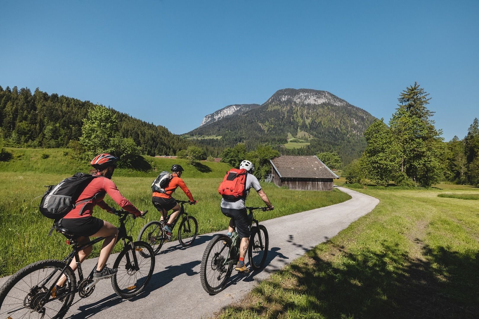
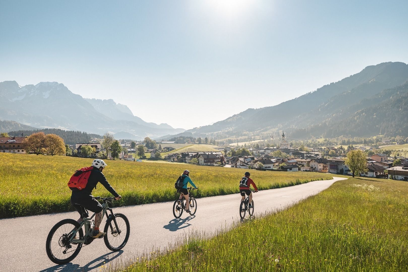


Cycling helmet, comfortable cycling clothing, change of clothes, wind protection, cycling gloves, possibly rucksack with water bottle and food, first aid equipment, possibly service/repair kit, cycling map, tour description and information material (GPX track), ID card, insurance card, cash
From Kirchbichl via the B171 turn off onto the L208/ From Schwoich via the L208 to the centre of Bad Häring.
Take the train to the station Kufstein or Wörgl and from there take the Regiobus 4026 to the bus stop Bad Häring Dorf.
Hiker's car park at the primary schools

Webcams de la tournée
-
Scheffau
-
Thiersee - Mitterland - Schneeberglifte
-
Hohe Salve
-
Thiersee - Mitterland - Schneeberglifte
-
Bergstation Gondelbahn Hochsöll
-
Jochstub'n-See
-
Thiersee - Mitterland - Schneeberglifte
-
Thiersee - Mitterland - Schneeberglifte
-
Jochbahn Bergstation
-
Kufstein - Brentenjoch
-
Thiersee - Mitterland - Schneeberglifte
-
Pendlinghaus - Kufstein
-
Pendlinghaus - Kufstein
-
Thiersee - Mitterland - Schneeberglifte
-
Söll - Ort
-
Thiersee - Ticklhof
-
Kleine Salve - Salvistabahn
-
Festung Kufstein
-
Hexenwasser
Obtenez un aperçu
Toujours en direct avec plus de 9.500 webcams. En tant qu'utilisateur Pro, vous pouvez désormais voir les webcams correspondantes à de nombreuses randonnées dans l'application de randonnées de bergfex. Vous pouvez ainsi voir directement les conditions actuelles.
Activités le long du parcours



Parcours populaires à proximité
-
4,4
Rosskopf
facileRandonnée 7,02 km -
4,8
Gruttenhütte über Klammlweg
moyenRandonnée 5,61 km -
4,9
Route 209: Brechhornhaus-Choralpe
difficileVTT 24,4 km -
4,8
Ellmauer Tor (22.07.2020)
moyenRandonnée 9,32 km -
5,0
Stripsenjoch Klettersteige/ Rundwanderung von Griesener Alm über Stripsenjochhaus und Feldberg
moyenVia ferrata 10,2 km -
4,7
Musikantensteig zur Naunspitze
moyenRandonnée 8,96 km -
4,6
Hintersteinersee
moyenRandonnée 9,87 km -
4,5
Über Hintersteinersee und Walleralm aufs Hochegg
facileRandonnée 12,2 km -
5,0
Kirchdorf: Stripsenjoch Klettersteige
difficileVia ferrata 3,76 km -
4,5
Wanderung um den Hintersteinersee
facileRandonnée 5,29 km
Randonnée et suivi


Ne manquez pas les offres et l'inspiration pour vos prochaines vacances
Votre adresse électronique a été ajouté à la liste de diffusion.





