







EUREGIO-Marien-Weg-M2

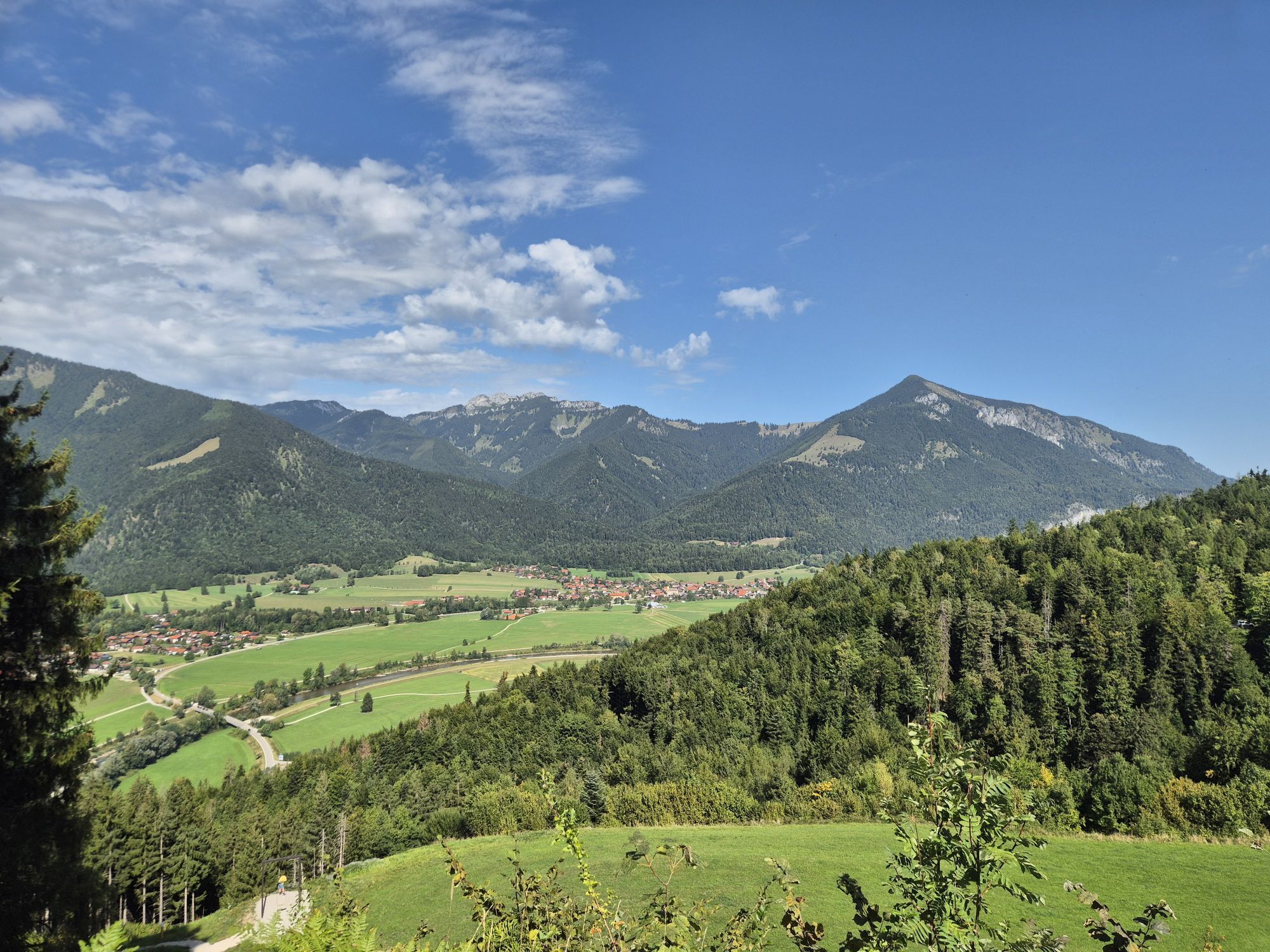
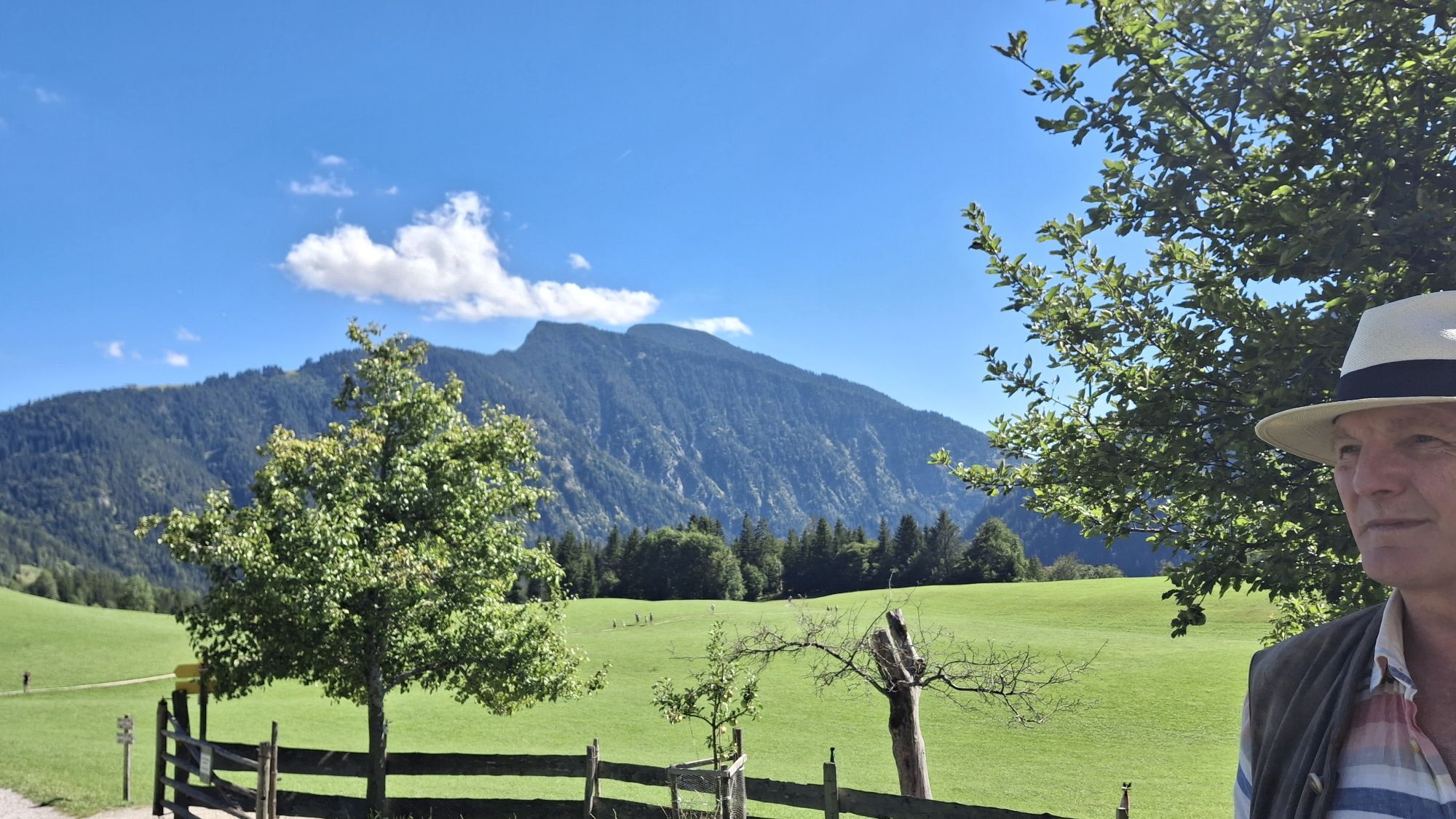
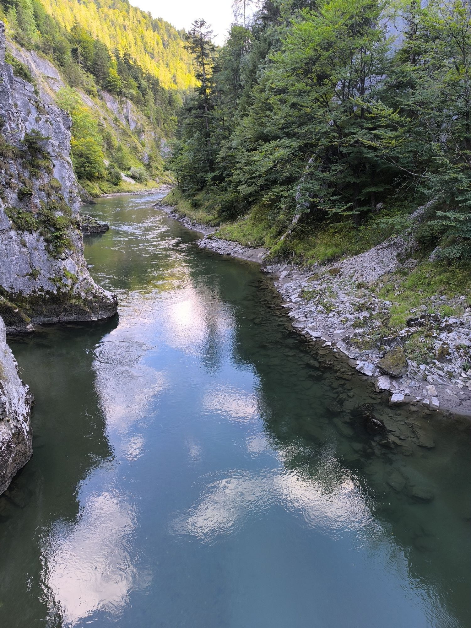
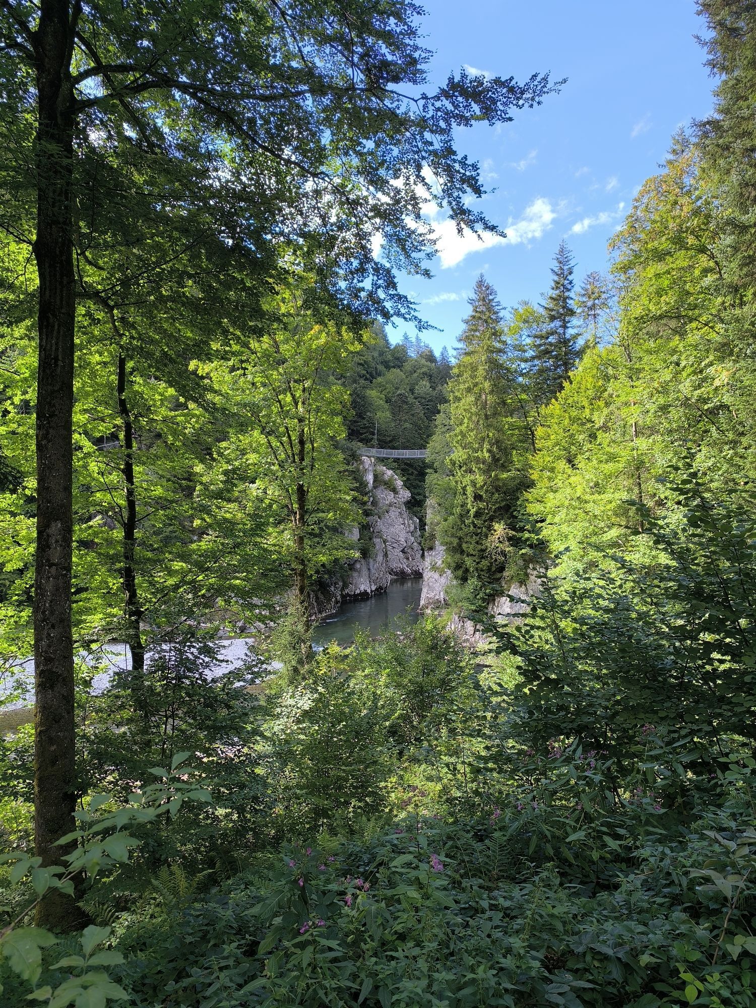
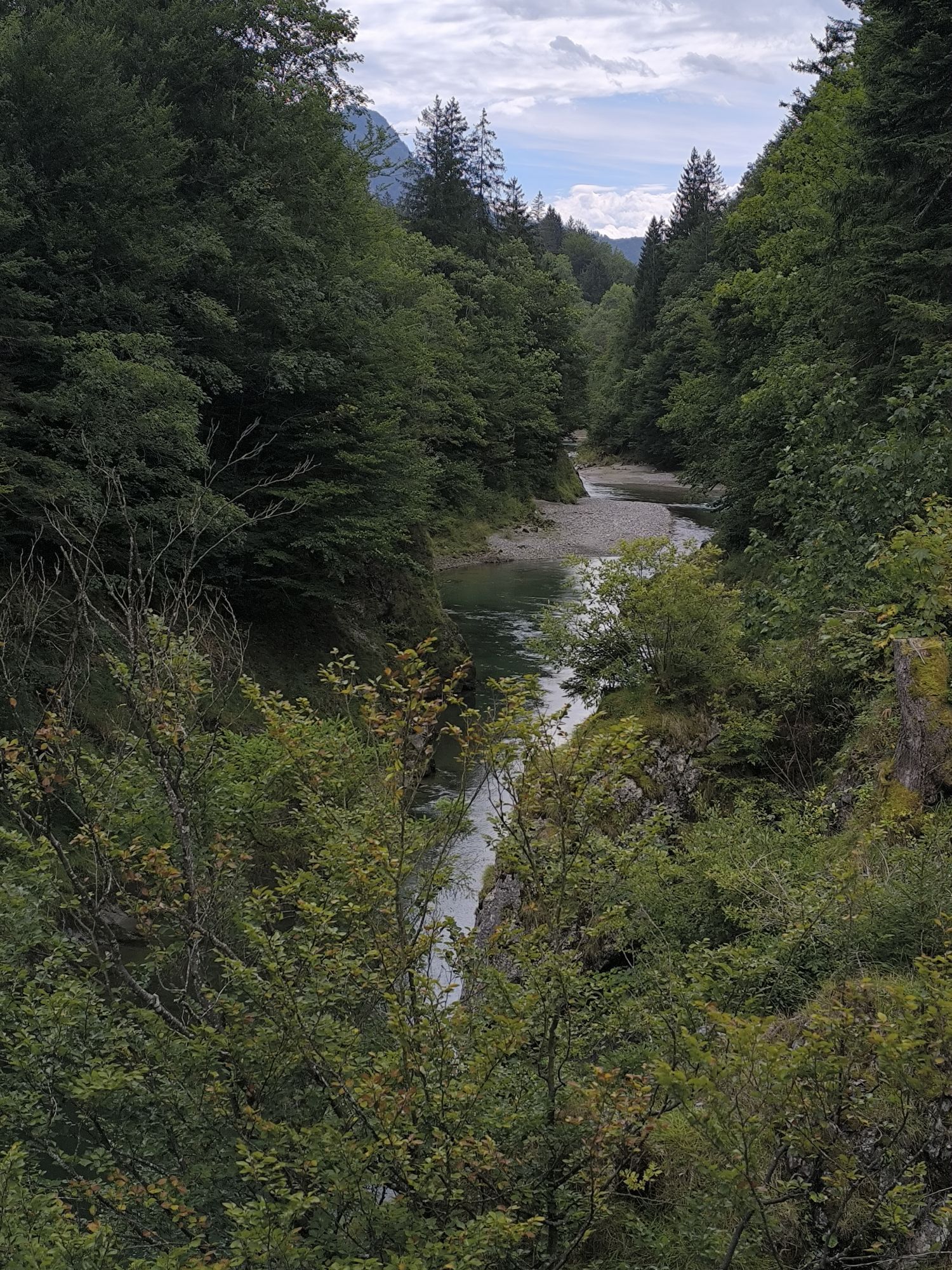
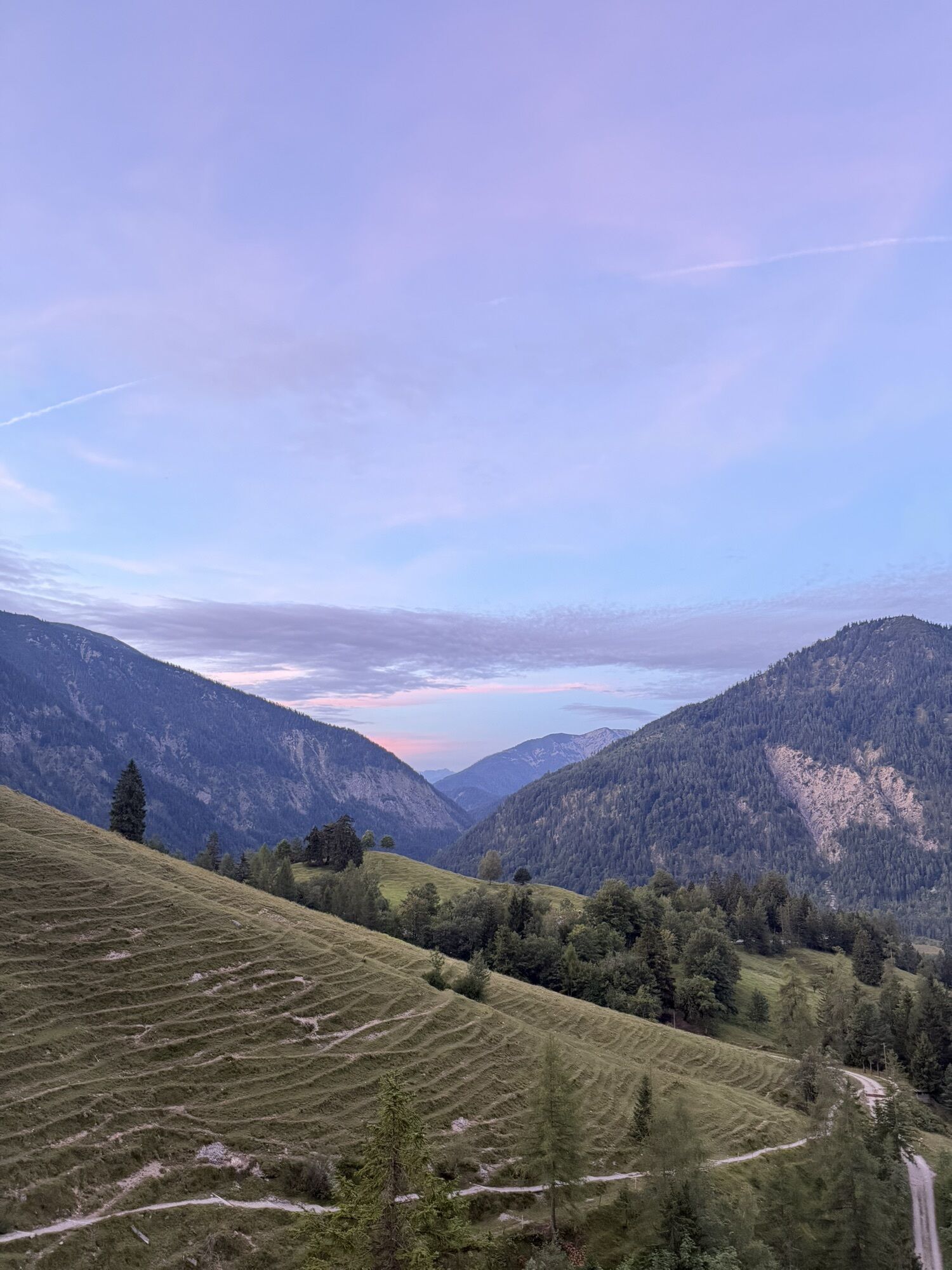
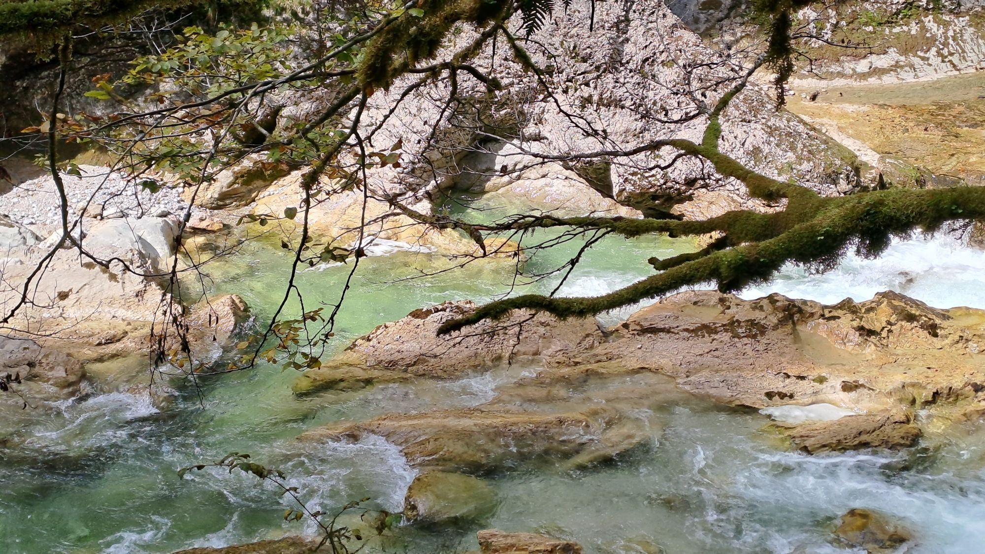
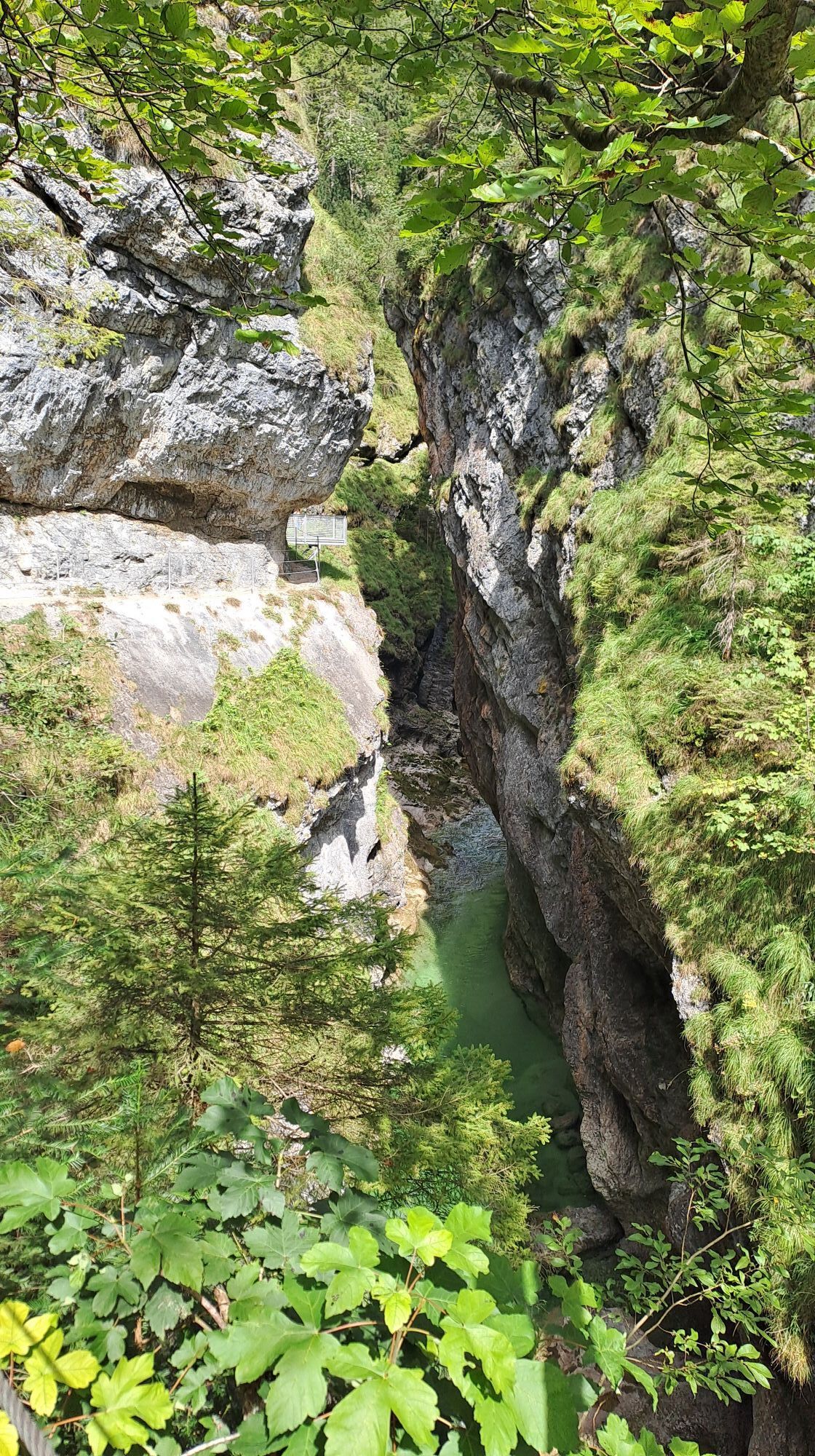
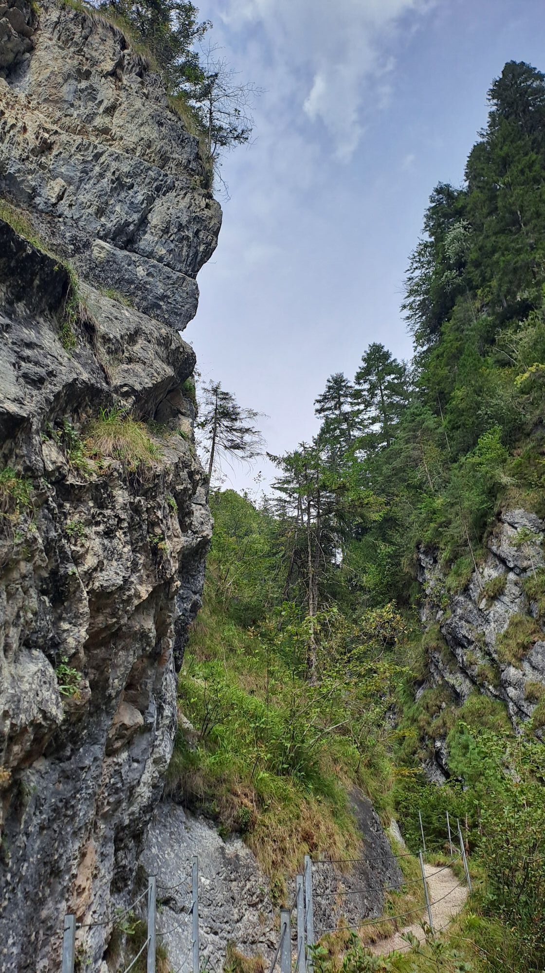
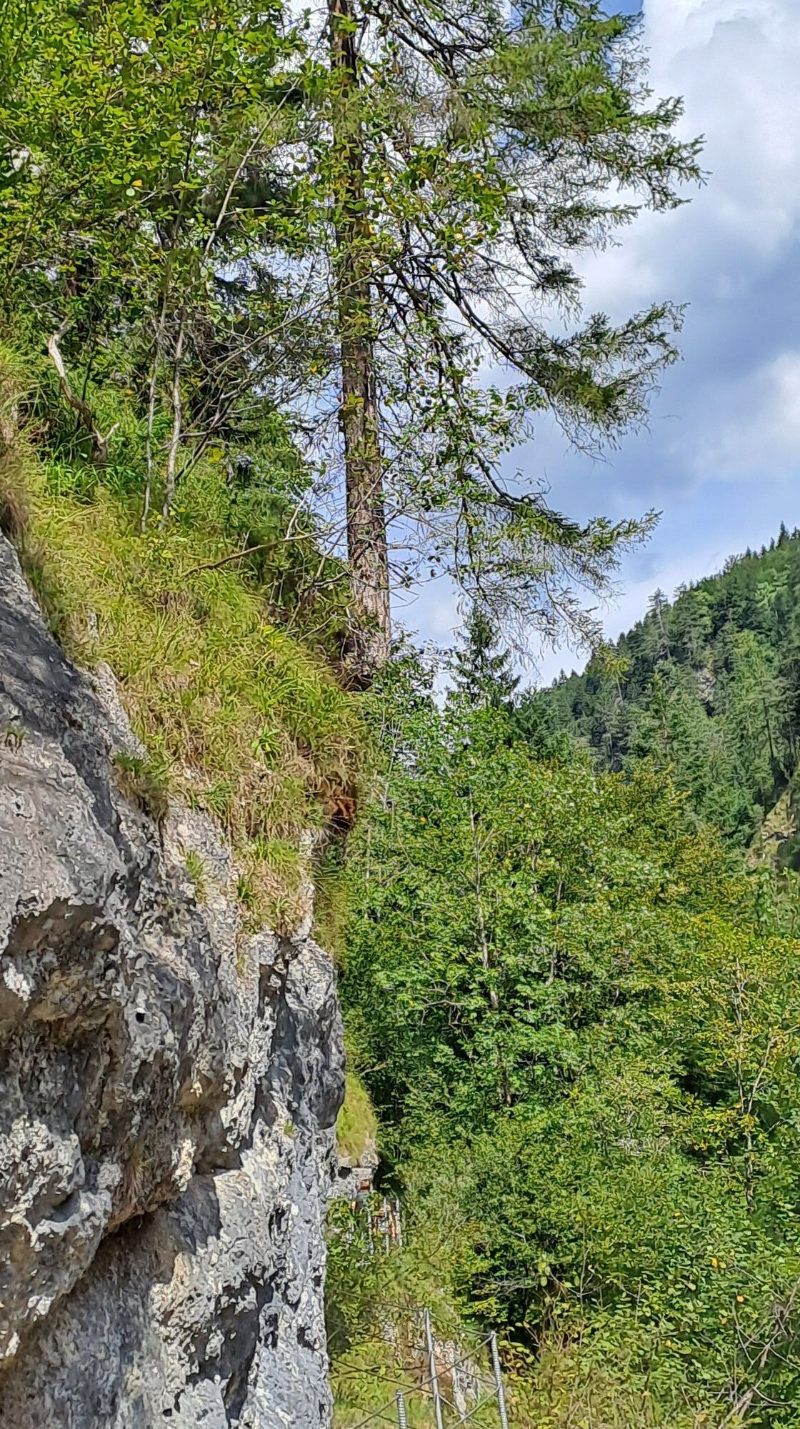
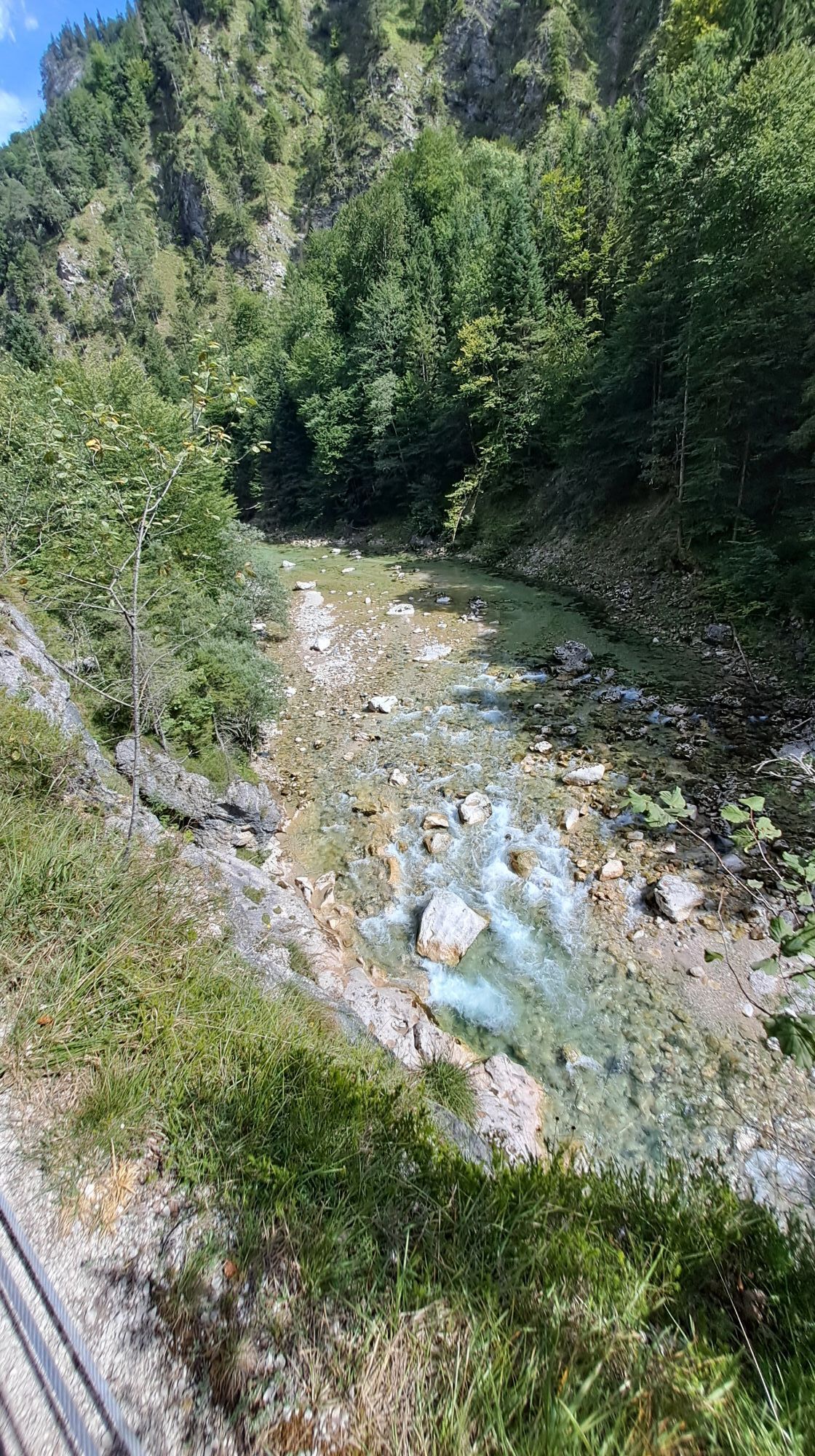
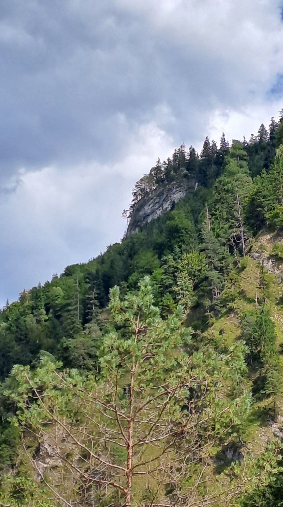
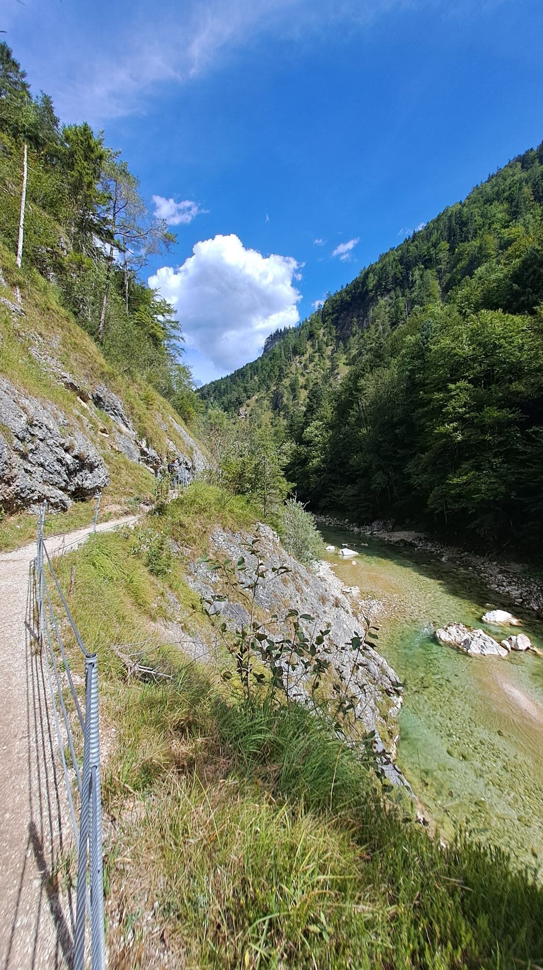
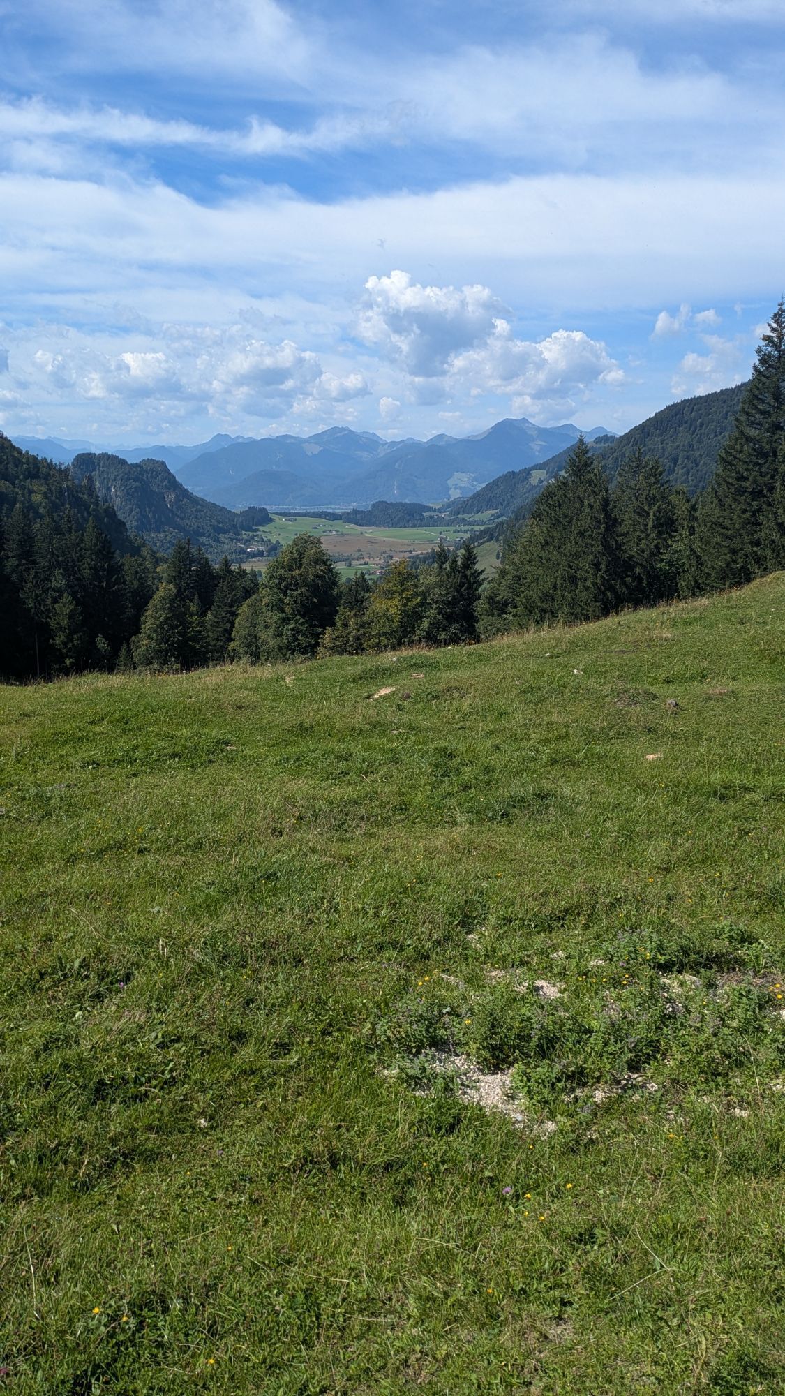
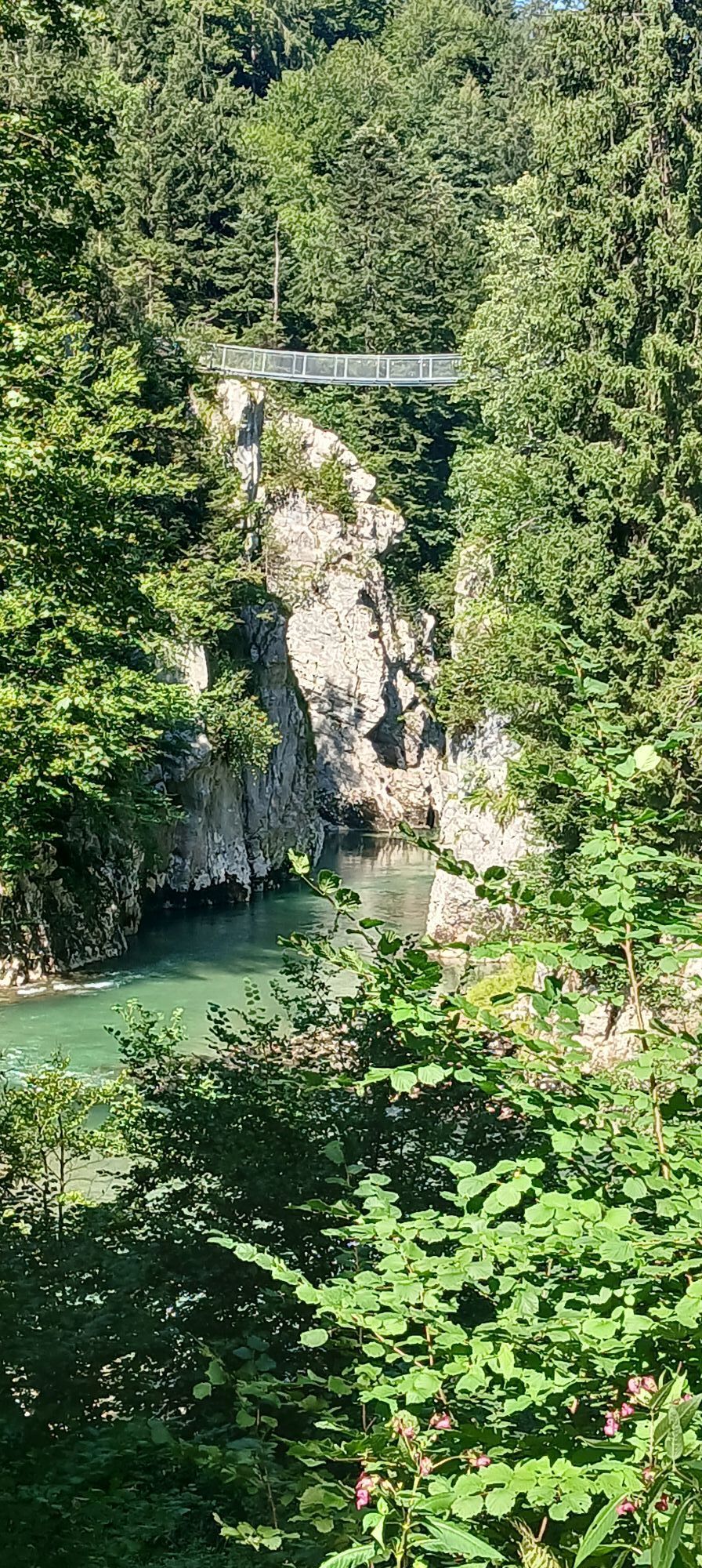
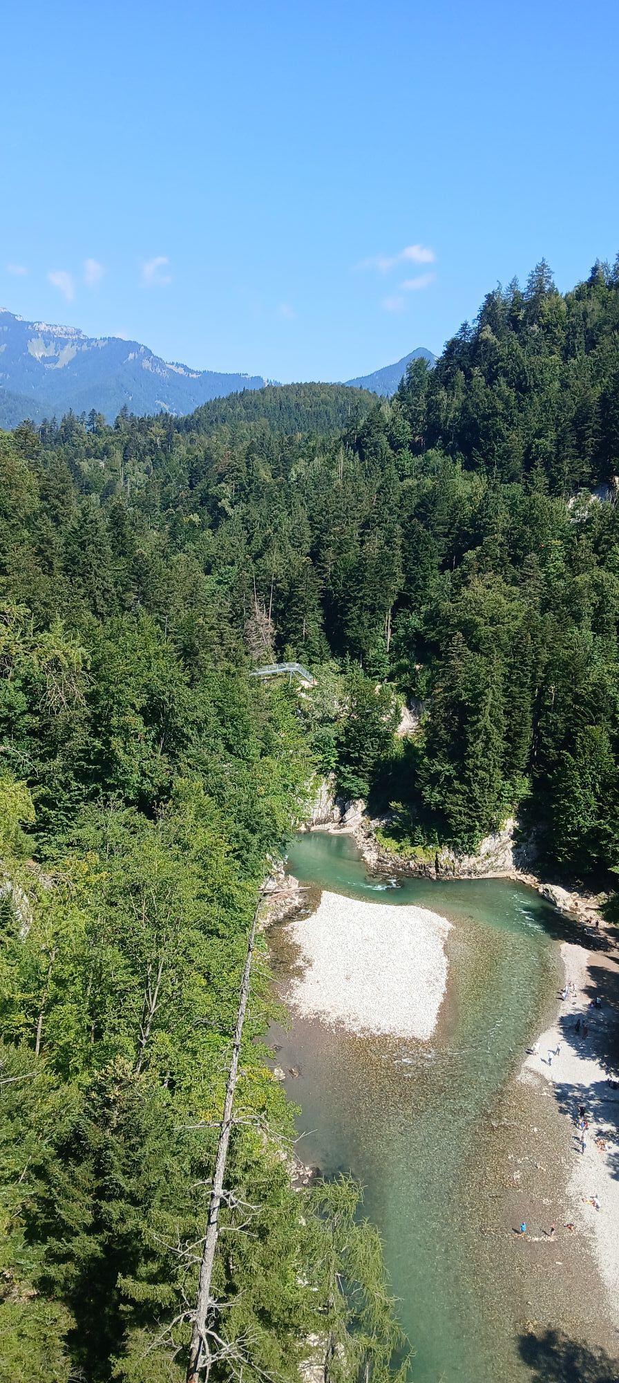
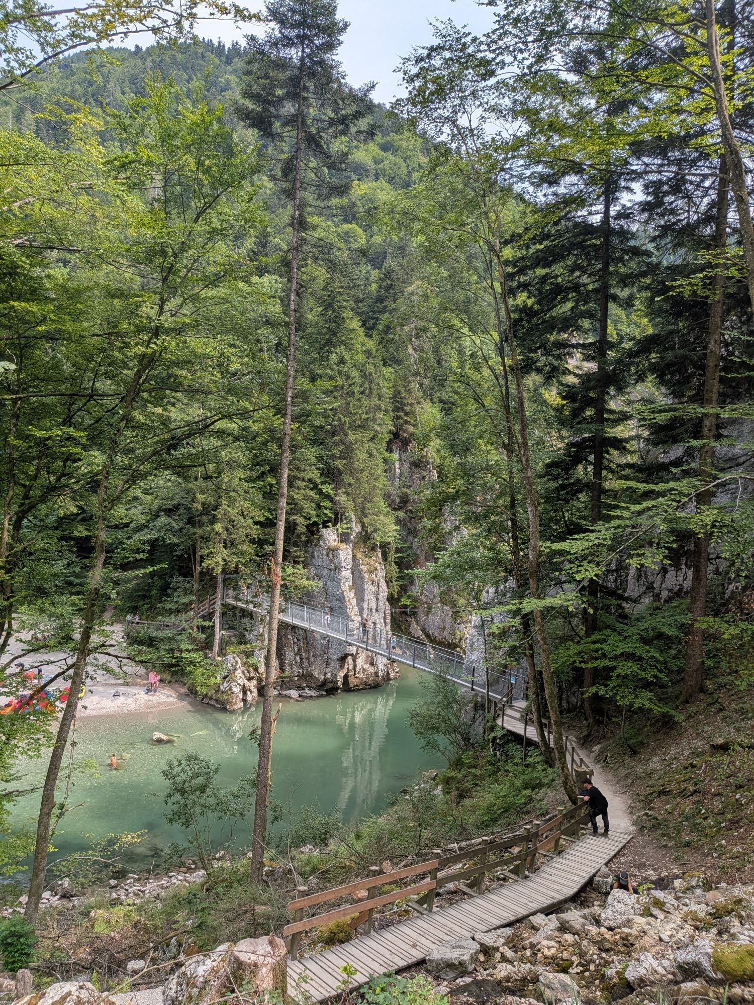
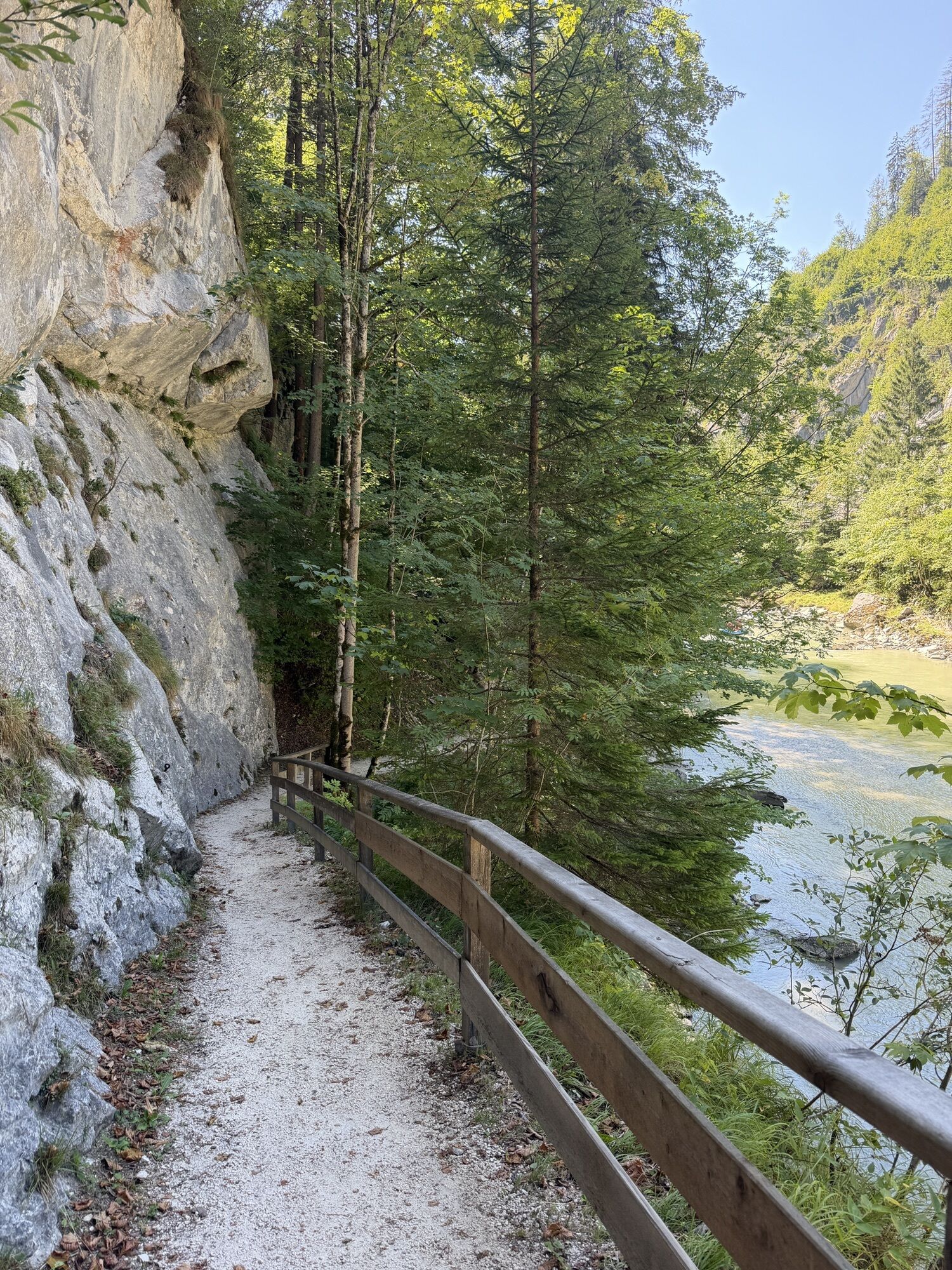
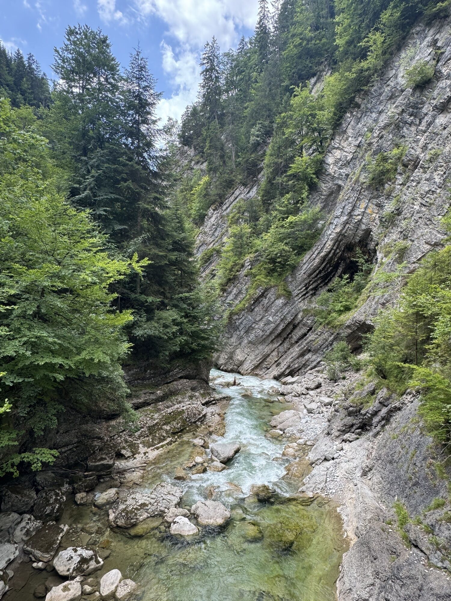
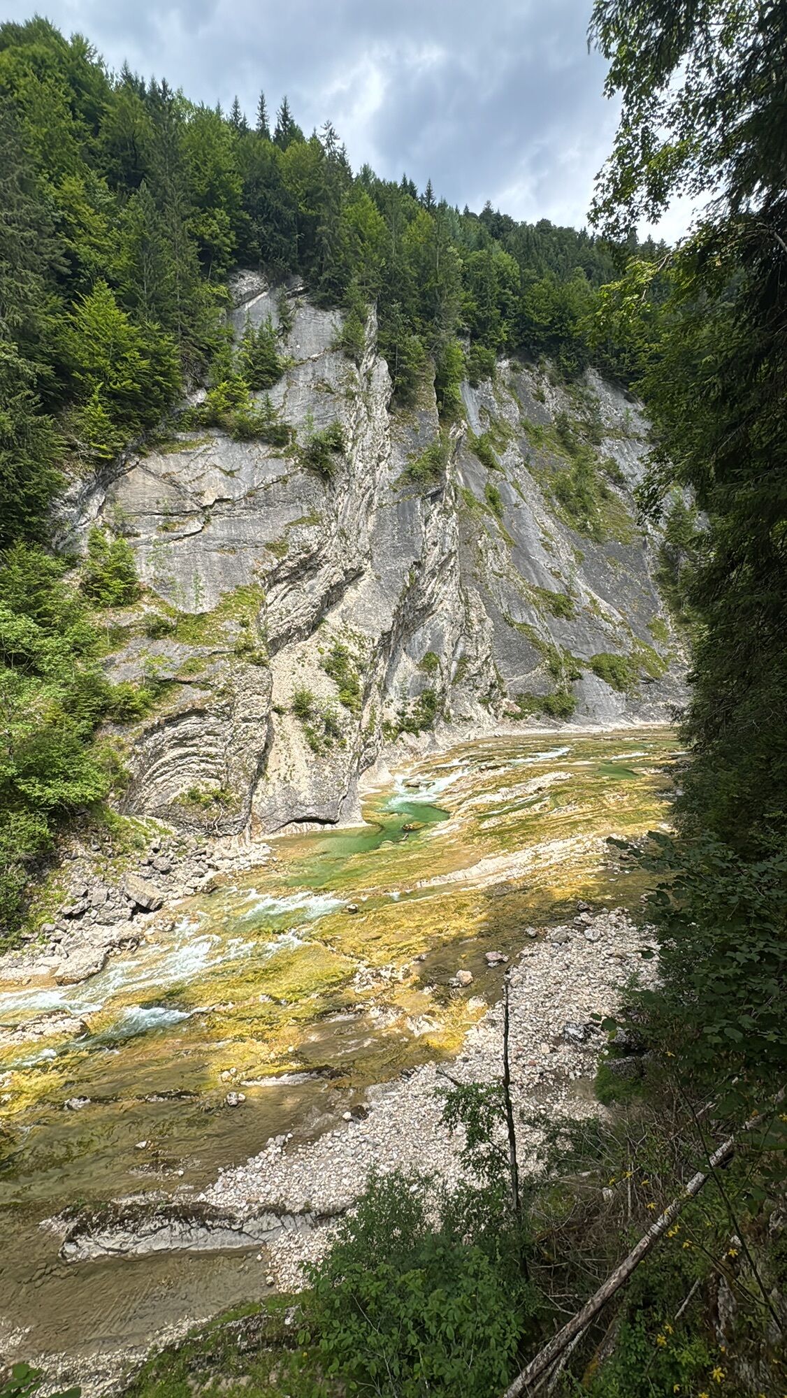
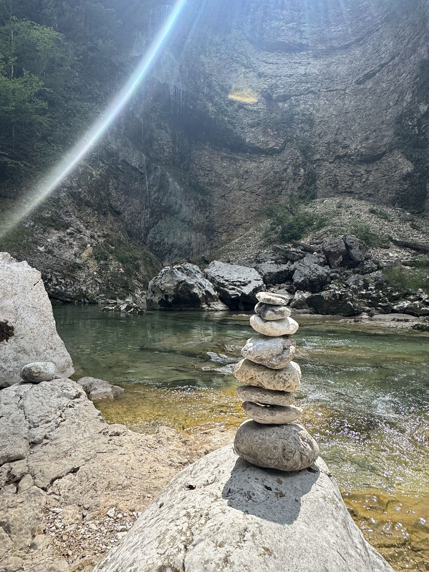
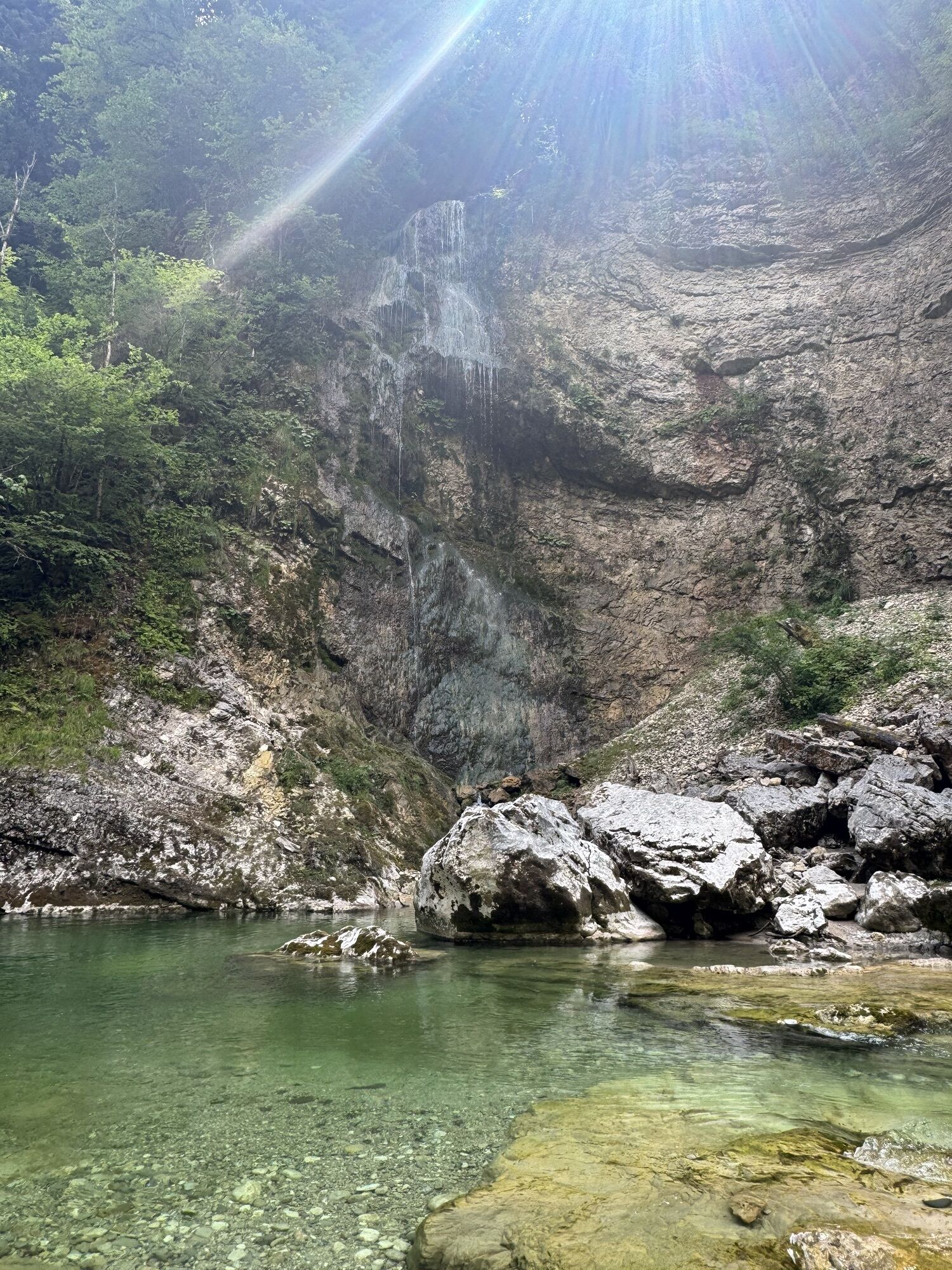
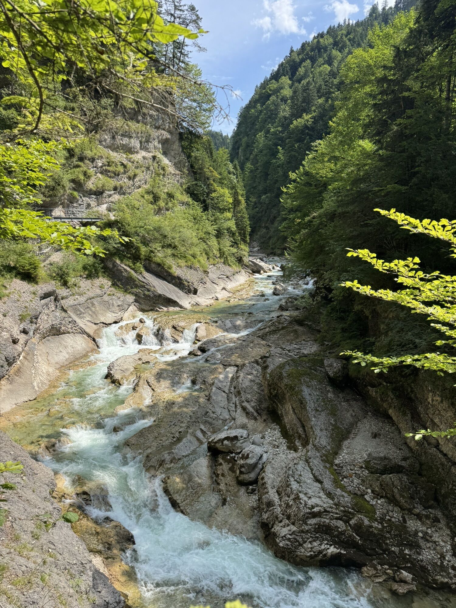
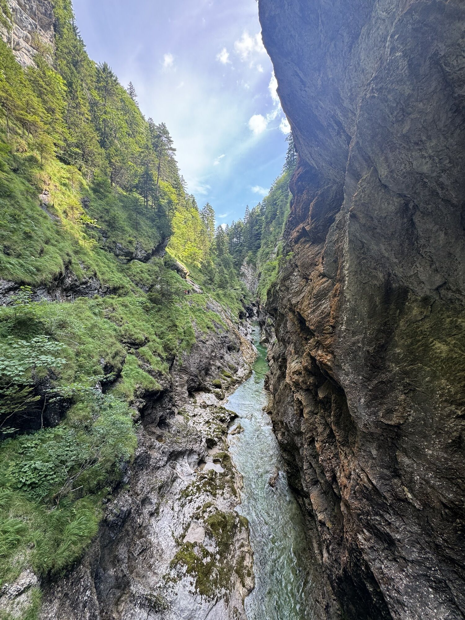
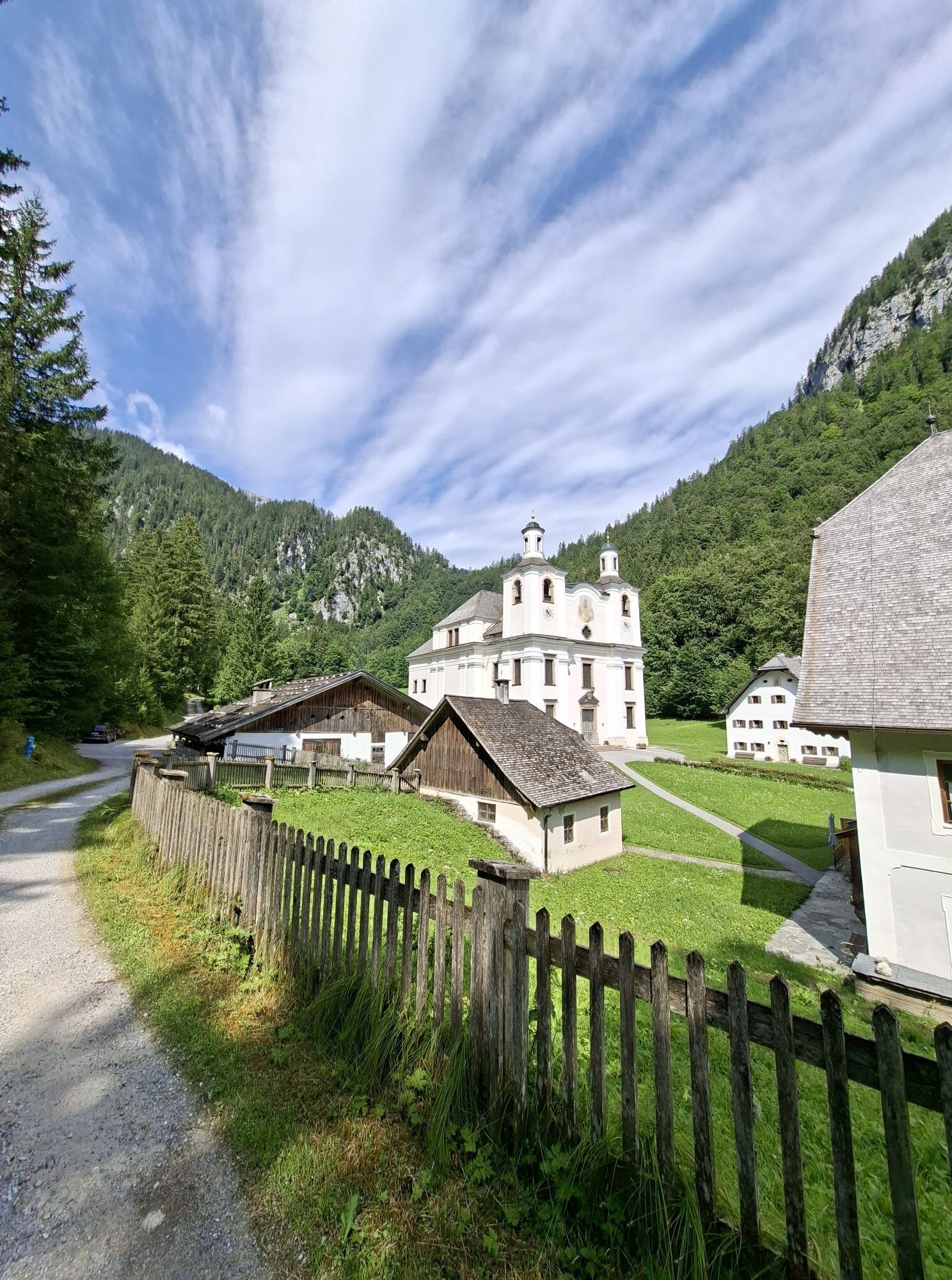
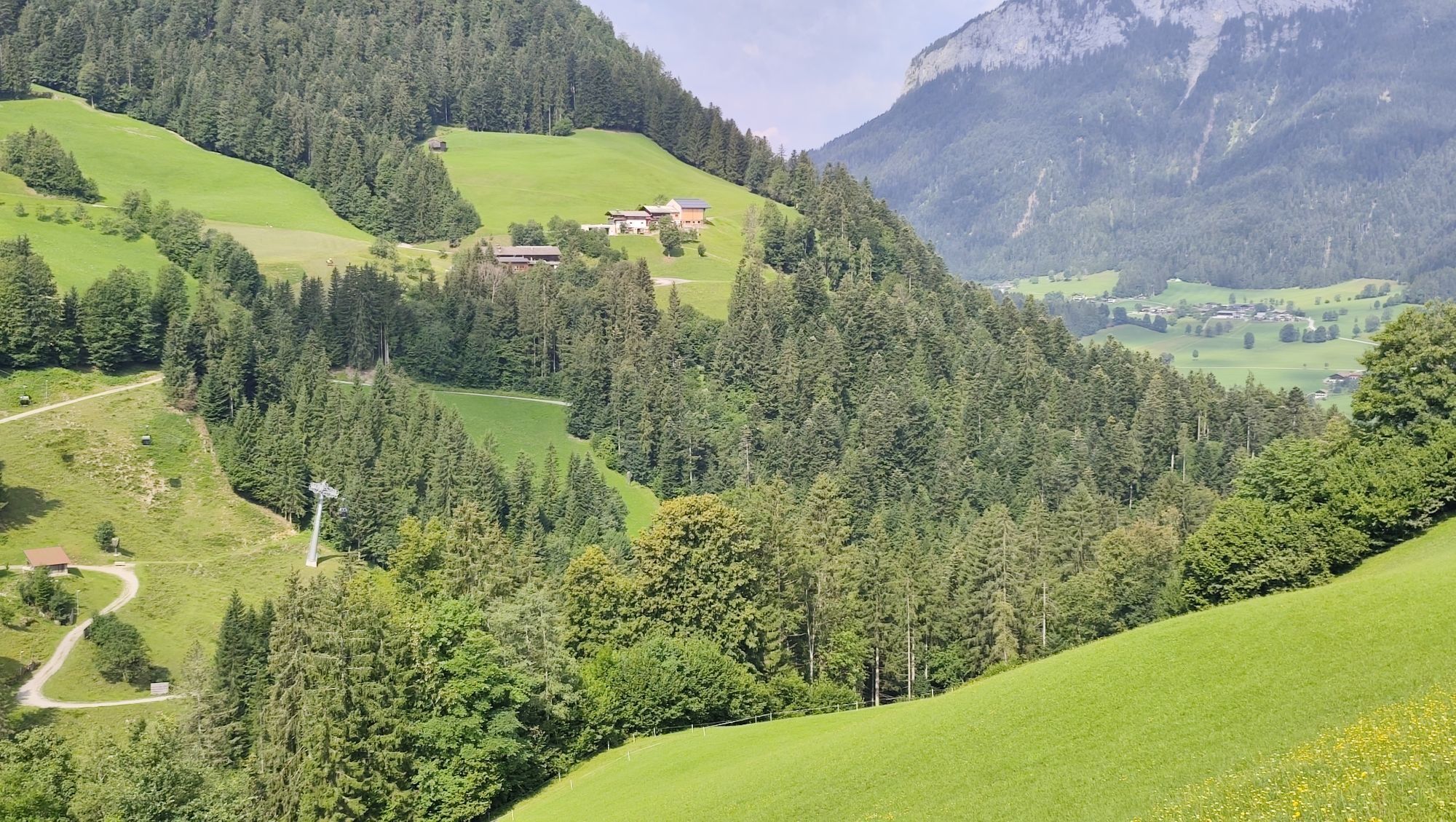
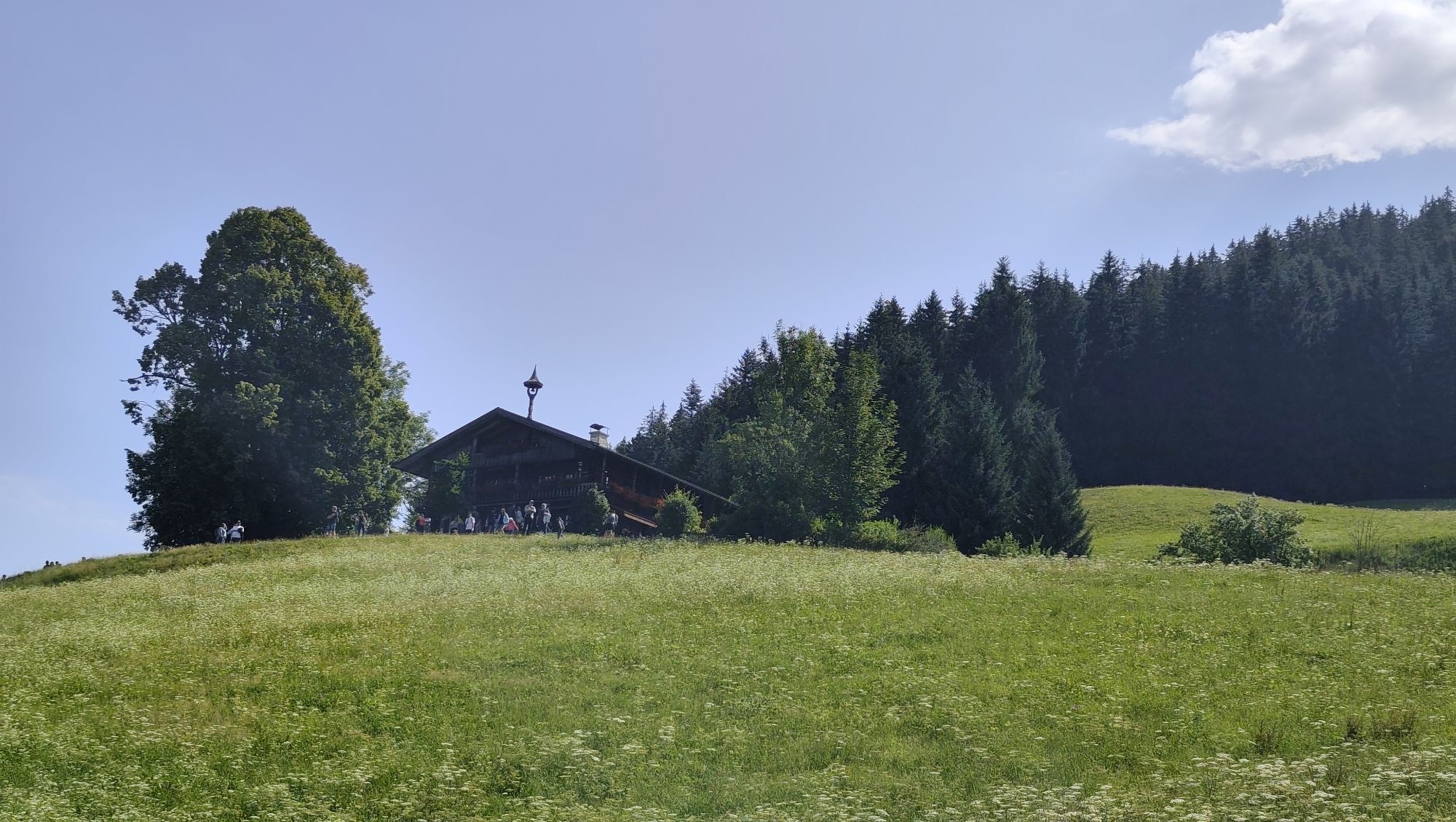
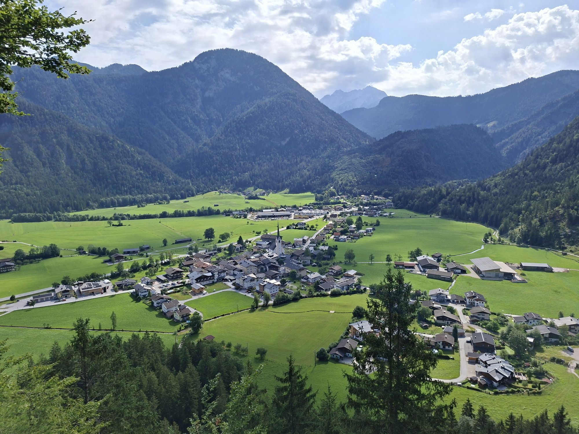
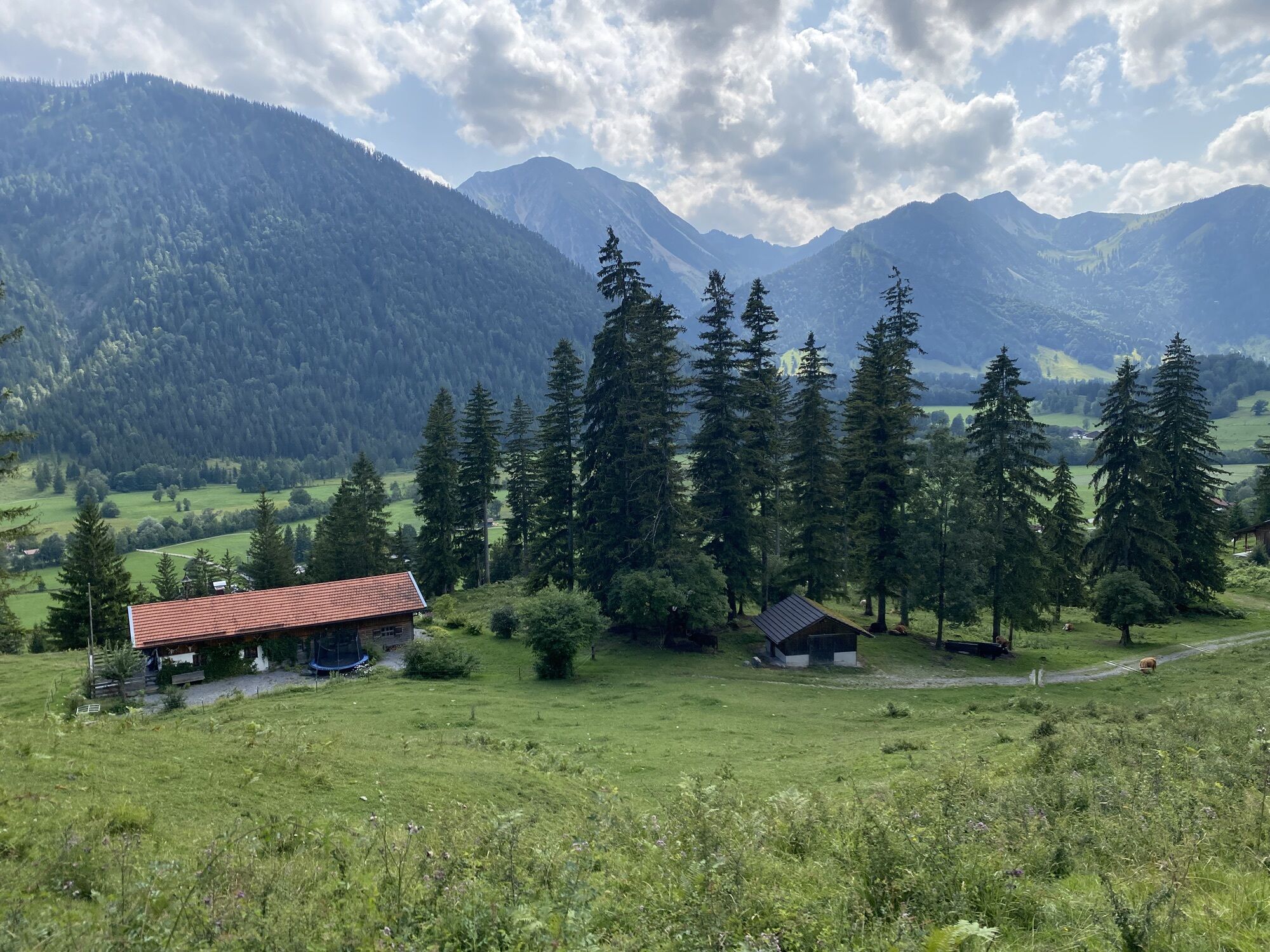
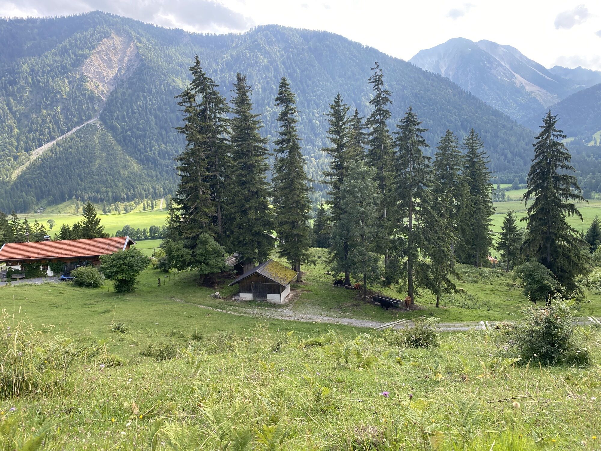
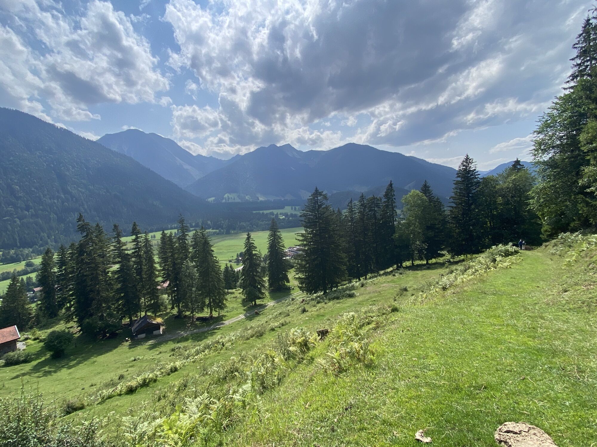
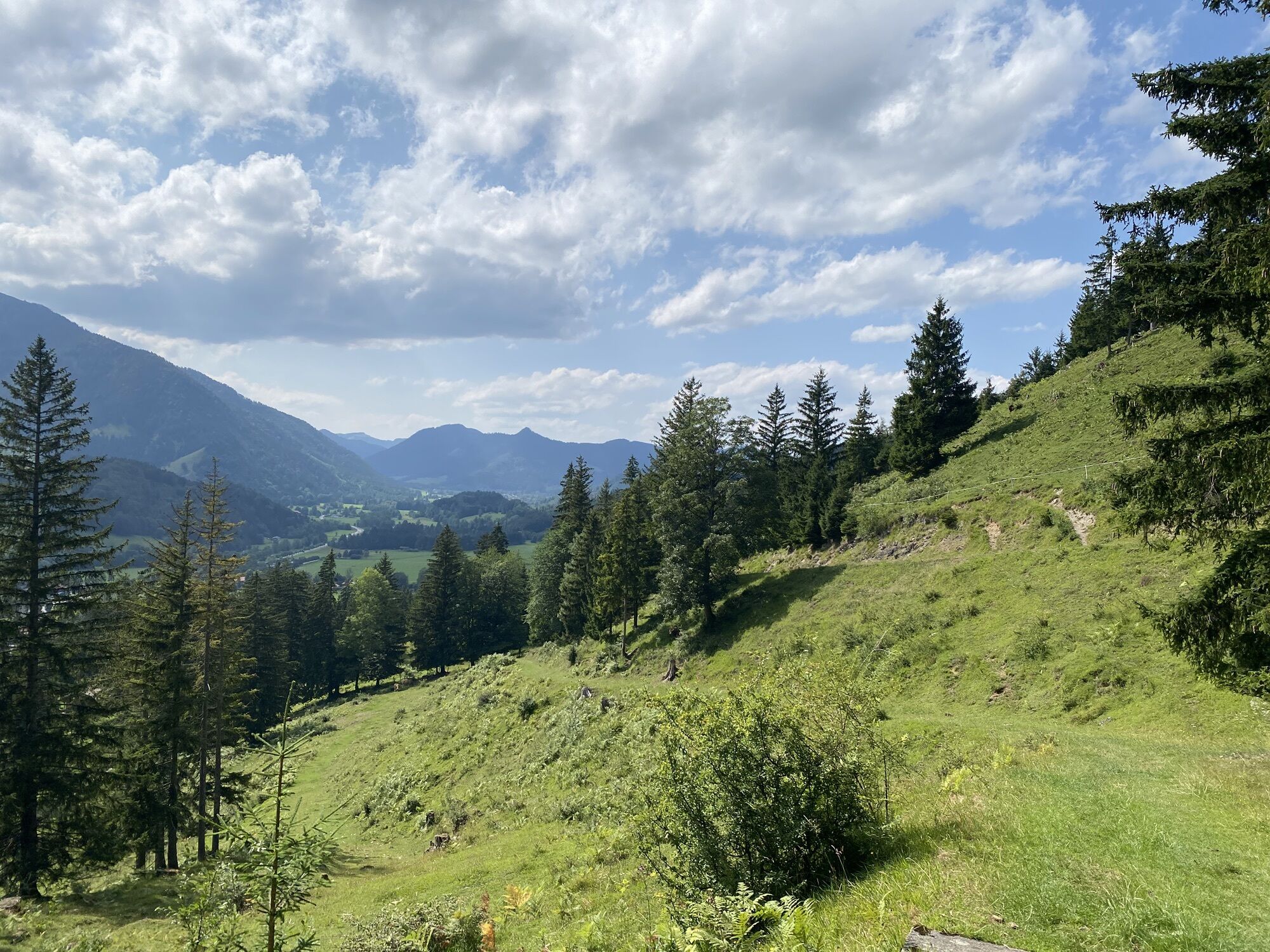
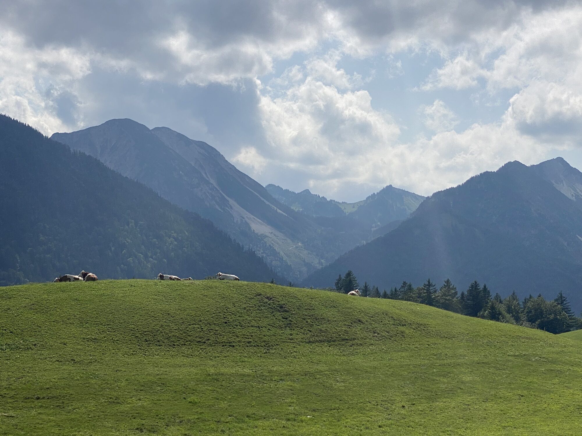
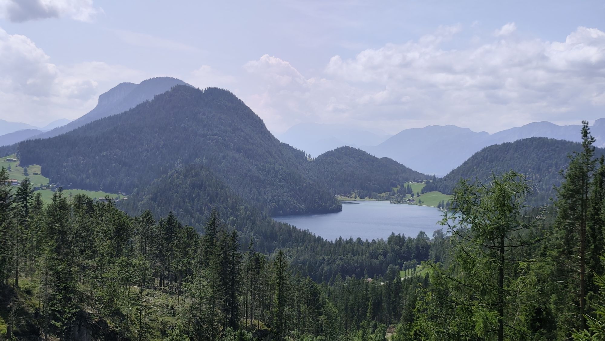
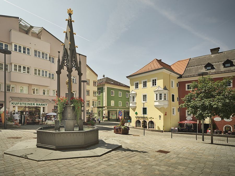
You start at the Marienbrunnen in Kufstein, which is known for its golden Marien column. In total, the circular route stretches over about 46 stages. On these stages you pass some well-known and worth...
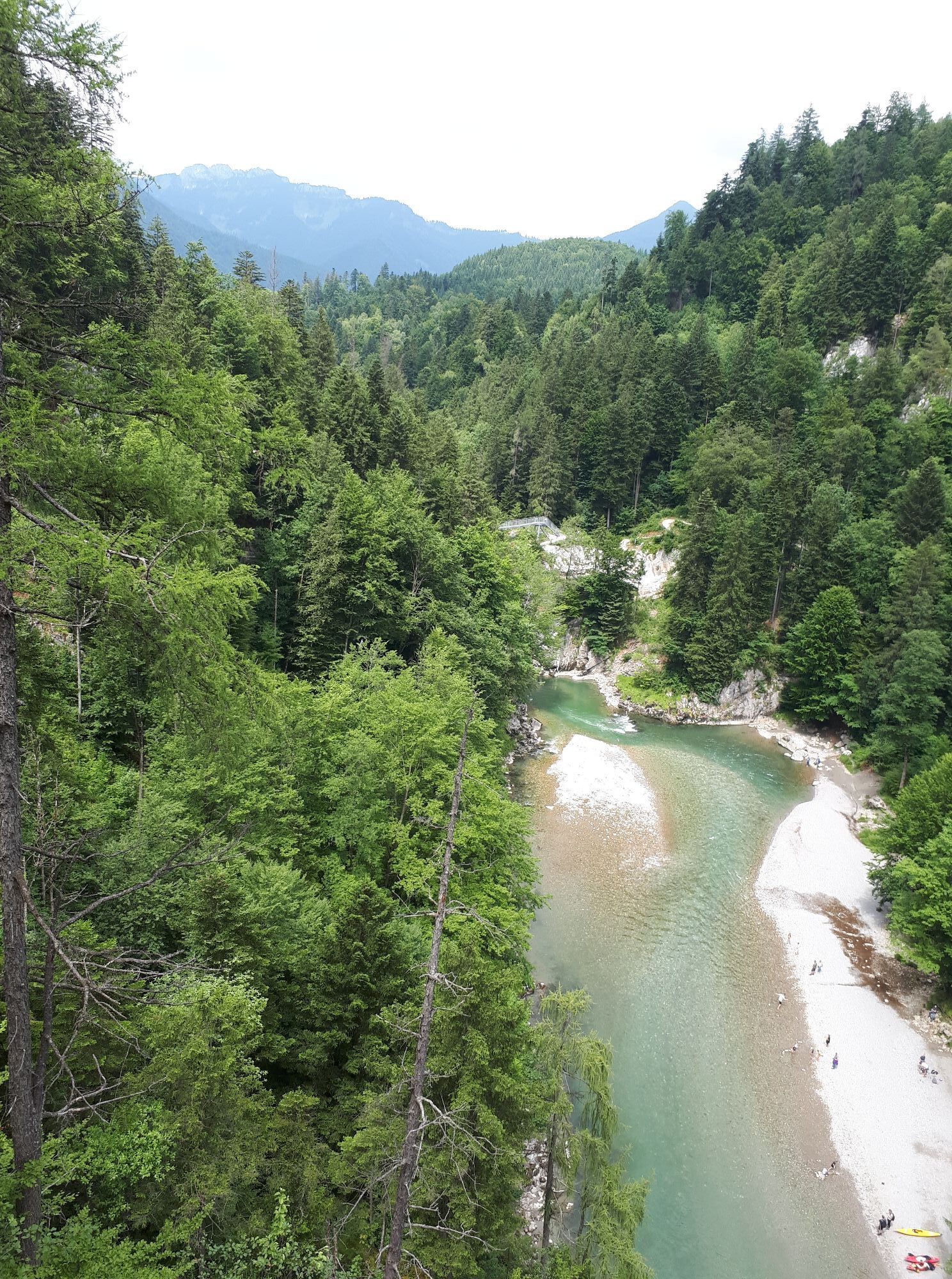
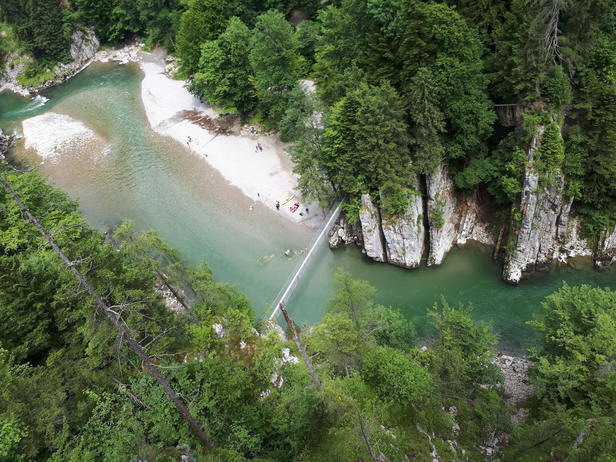
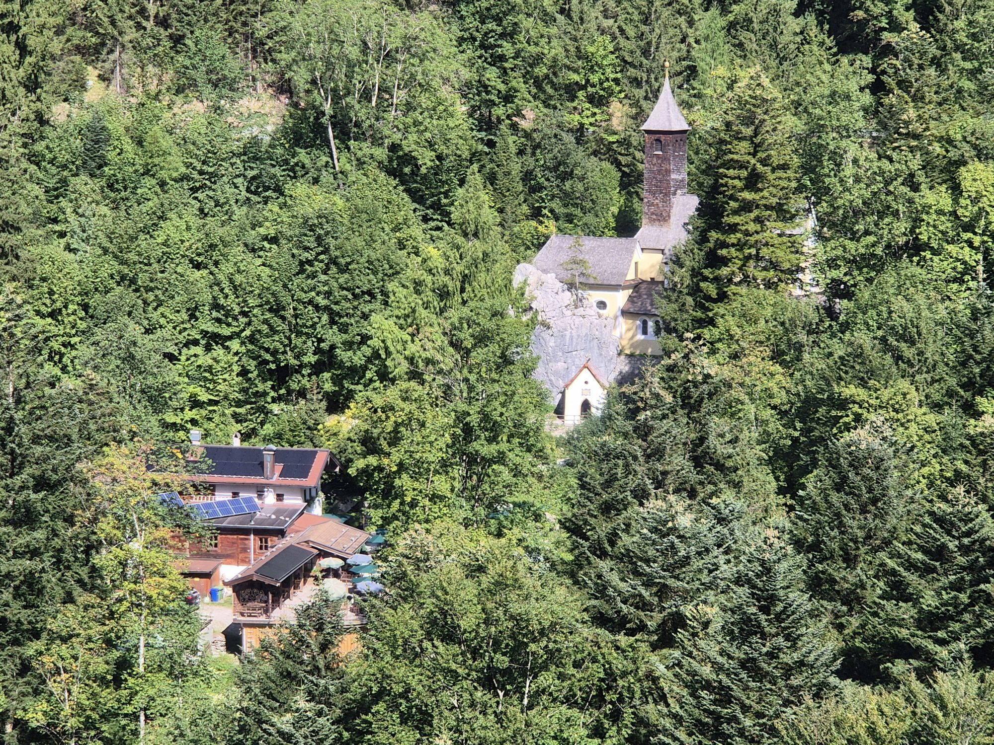
You start at the Marienbrunnen in Kufstein, which is known for its golden Marien column. In total, the circular route stretches over about 46 stages. On these stages you pass some well-known and worth seeing pilgrimage churches and parish churches. After about 33 kilometers, the Maria Kolbenstein church emerges from the middle of the mountain. Over stairs - past rocks you reach the pilgrimage church built in 1732/33. The route continues over several stages to the pilgrimage site of Maria Eck, which consists of a church, a monastery and an inn. This idyllic place is reached about 32 kilometers after the last pilgrimage church. Here the routes M2 and M3 separate. After leaving this beautiful place behind, after another 53 kilometers you reach the Maria Kirchental, which is characterized by a Messner house resembling a castle. Now a few stages follow, until at kilometer 207 the place of pilgrimage Mariastein welcomes us. On a hill the royal Mariensteinkirche rises into the air. Just over 20 kilometers further on, on a mountain river, is the pilgrimage church in the Mariathal. This church is also a very famous and popular destination. This is the last pilgrimage church on the circular hike. After these many new impressions and beautiful places you go back to the starting point of the circular hike.
No luggage transfer is offered in Kufsteinerland for this long-distance hiking trail.

Breathable outdoor clothing that also corresponds to the weather of the next few days, Sufficient food for all days (check availability at the huts), First aid kit, Cell phone with full battery and cell phone charger, Hiking map and guide literature, Sun protection (sunglasses, sunscreen and cap), Overnight utensils, hut sleeping bag, etc., Rain protection, Cash.
From the Inntal freeway A12 take the exit Kufstein Nord.
Kufstein main station is only a few minutes walk from the starting point.
Kufstein center
Parcours populaires à proximité
-
4,7
Kirchdorf: Zur geheimnisvollen Teufelsgasse
moyenRandonnée 7,90 km -
4,9
Schleierwasserfall Runde
moyenRandonnée 5,63 km -
4,3
Erpfendorf: Griesbachklamm
moyenRandonnée 10 km -
4,8
Gruttenhütte über Klammlweg
moyenRandonnée 5,61 km -
4,4
Kitzbüheler Horn über Horn-Gipfel-Höhenweg
moyenChemin thématique 5,30 km -
4,8
Ellmauer Tor (22.07.2020)
moyenRandonnée 9,32 km -
4,8
Loferer Steinberge, zum Hinterhorn über die Schmid-Zabierow Hütte, 19.06.22
difficileRandonnée 14,0 km -
4,8
Streif Wanderweg
moyenRandonnée 5,73 km -
4,2
Panoramarundweg am Hahnenkamm
facileRandonnée 3,02 km -
4,6
St. Johann in Tirol: Wasserfall & 3 Seen am Kitzbüheler Horn
moyenRandonnée 12,7 km
Randonnée et suivi


Ne manquez pas les offres et l'inspiration pour vos prochaines vacances
Votre adresse électronique a été ajouté à la liste de diffusion.





