


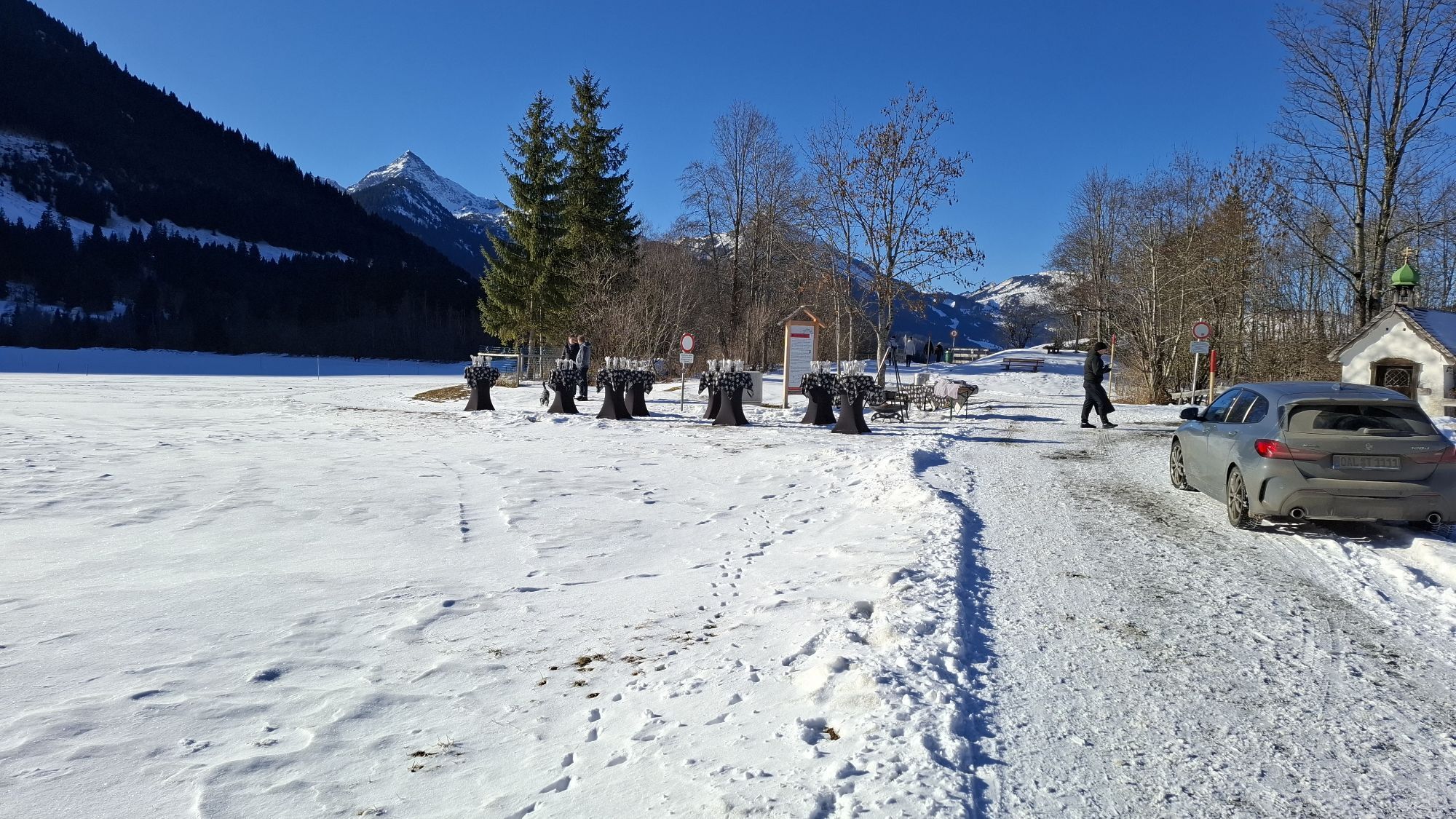
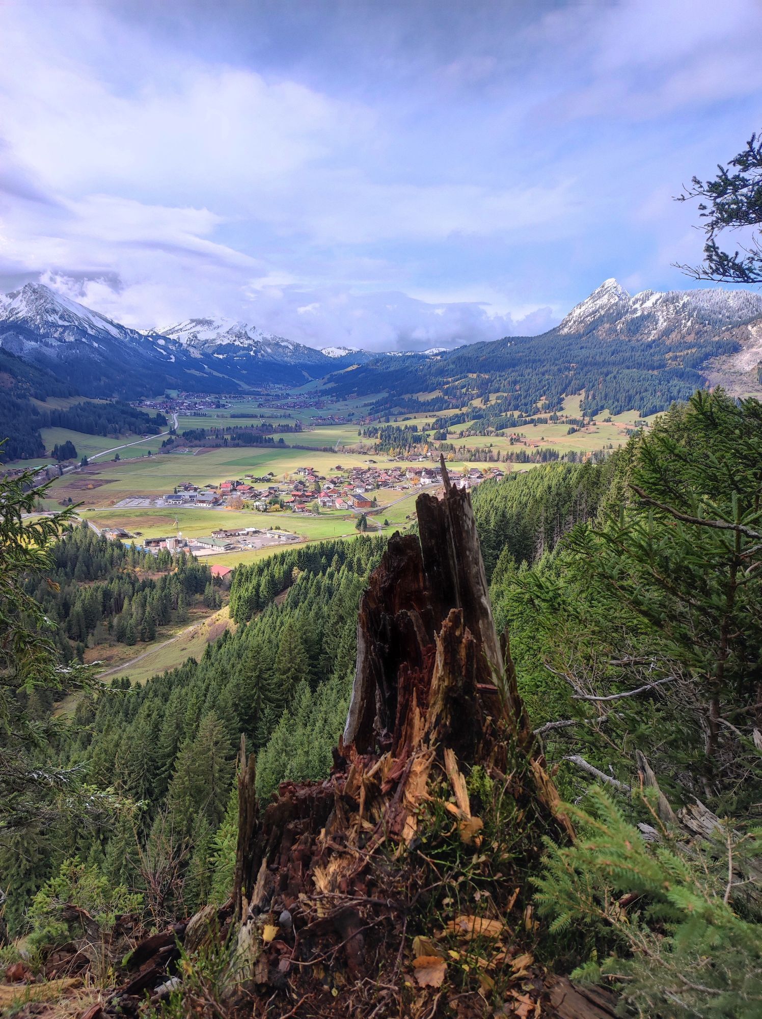
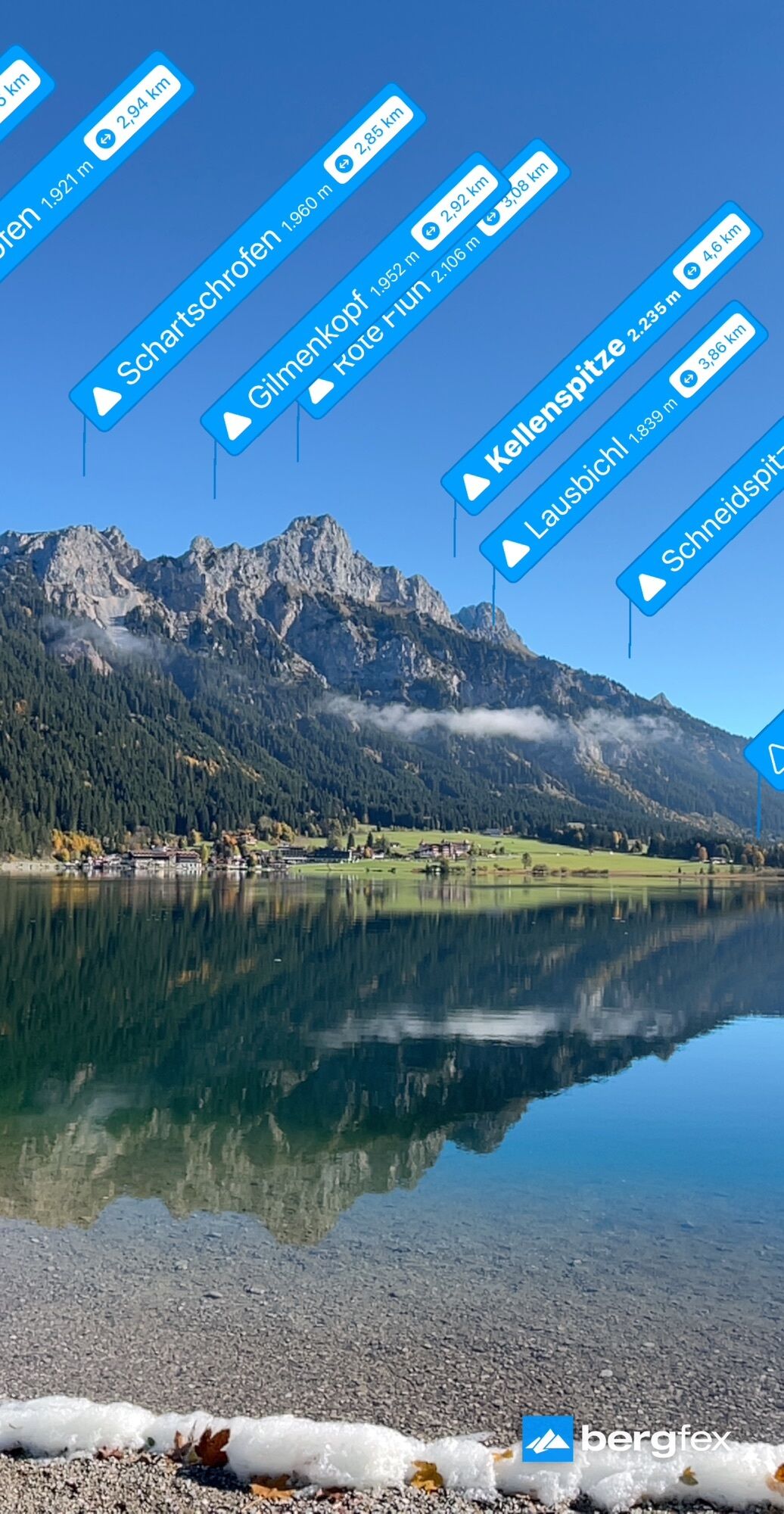
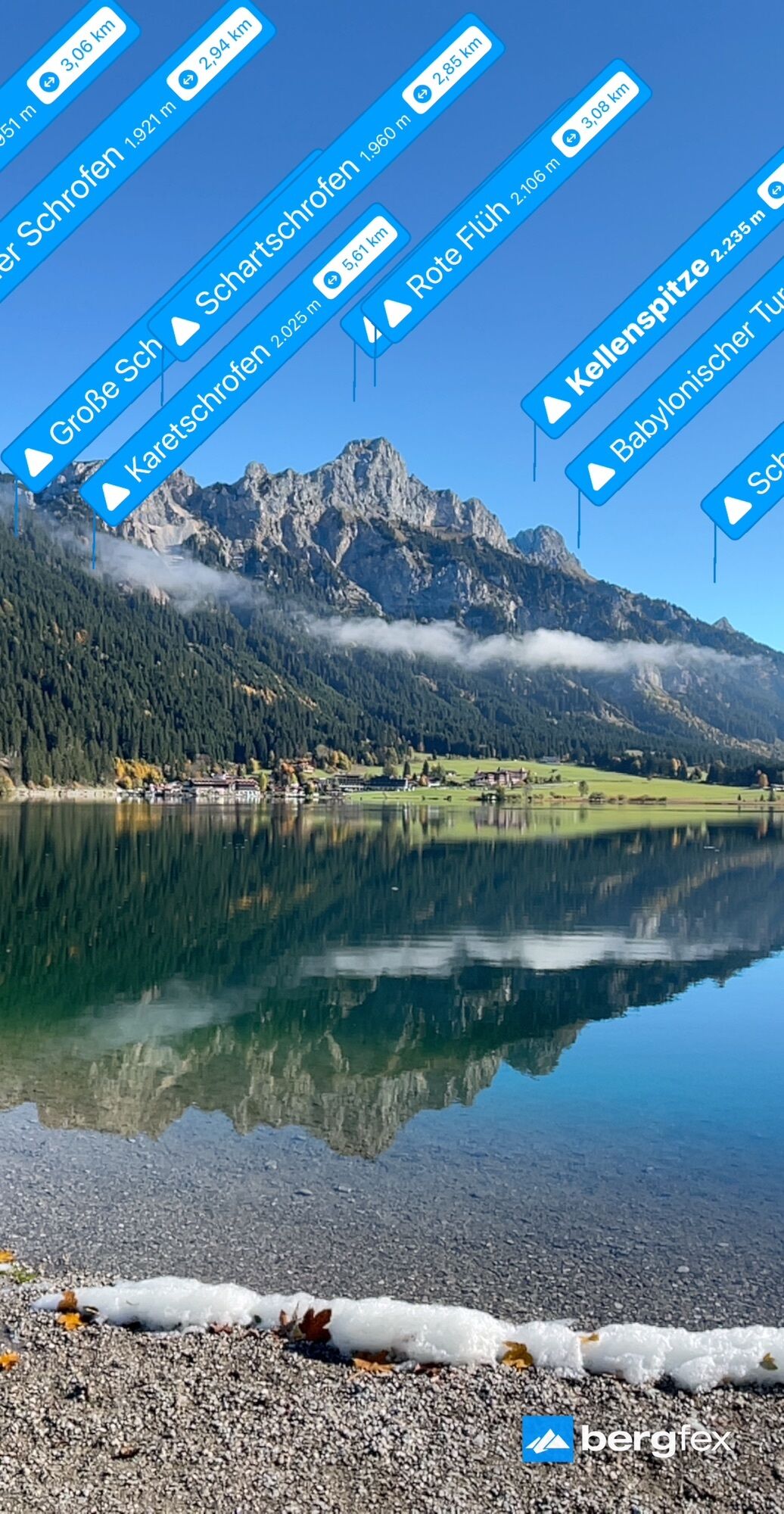
Chemin de Saint-Jacques Tyrol-Allgäu
Niveau de difficulté: T2
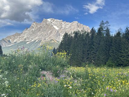
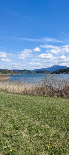
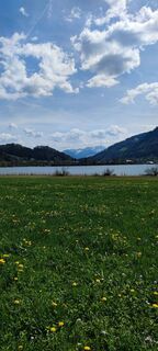
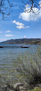
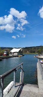
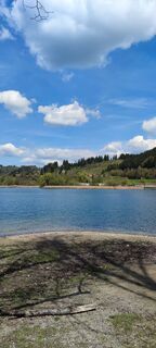
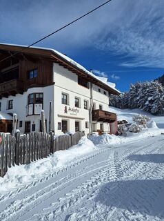
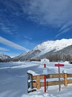
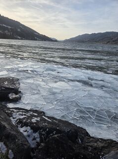
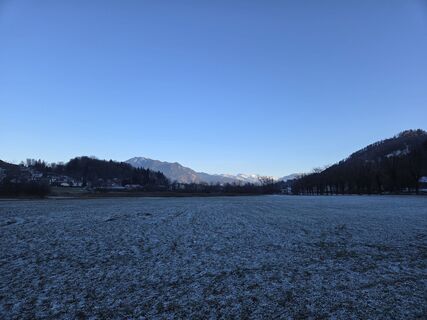
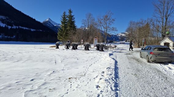
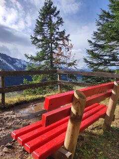
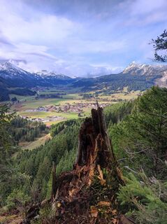
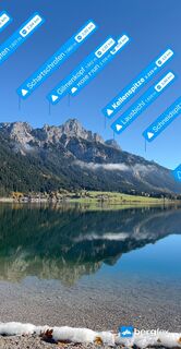
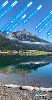
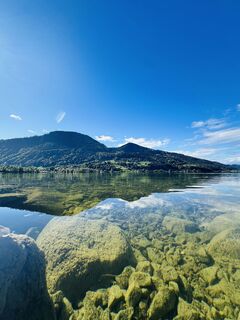
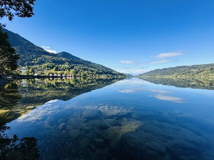
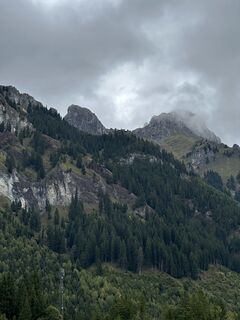
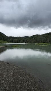
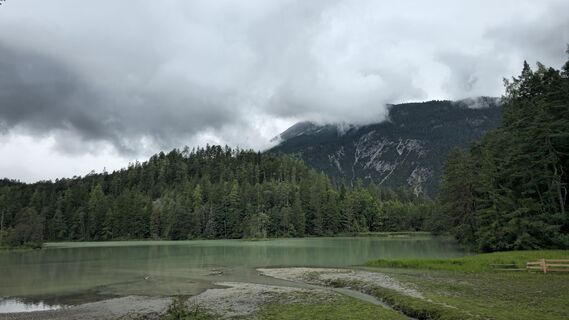
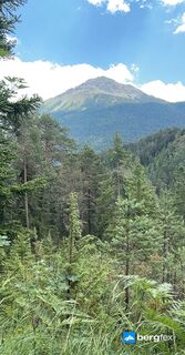
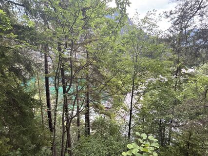
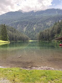
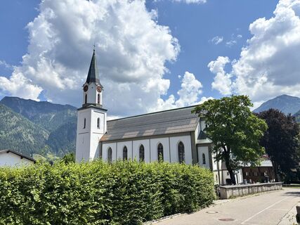
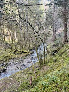
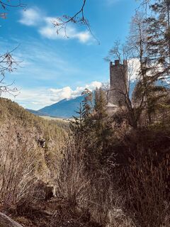
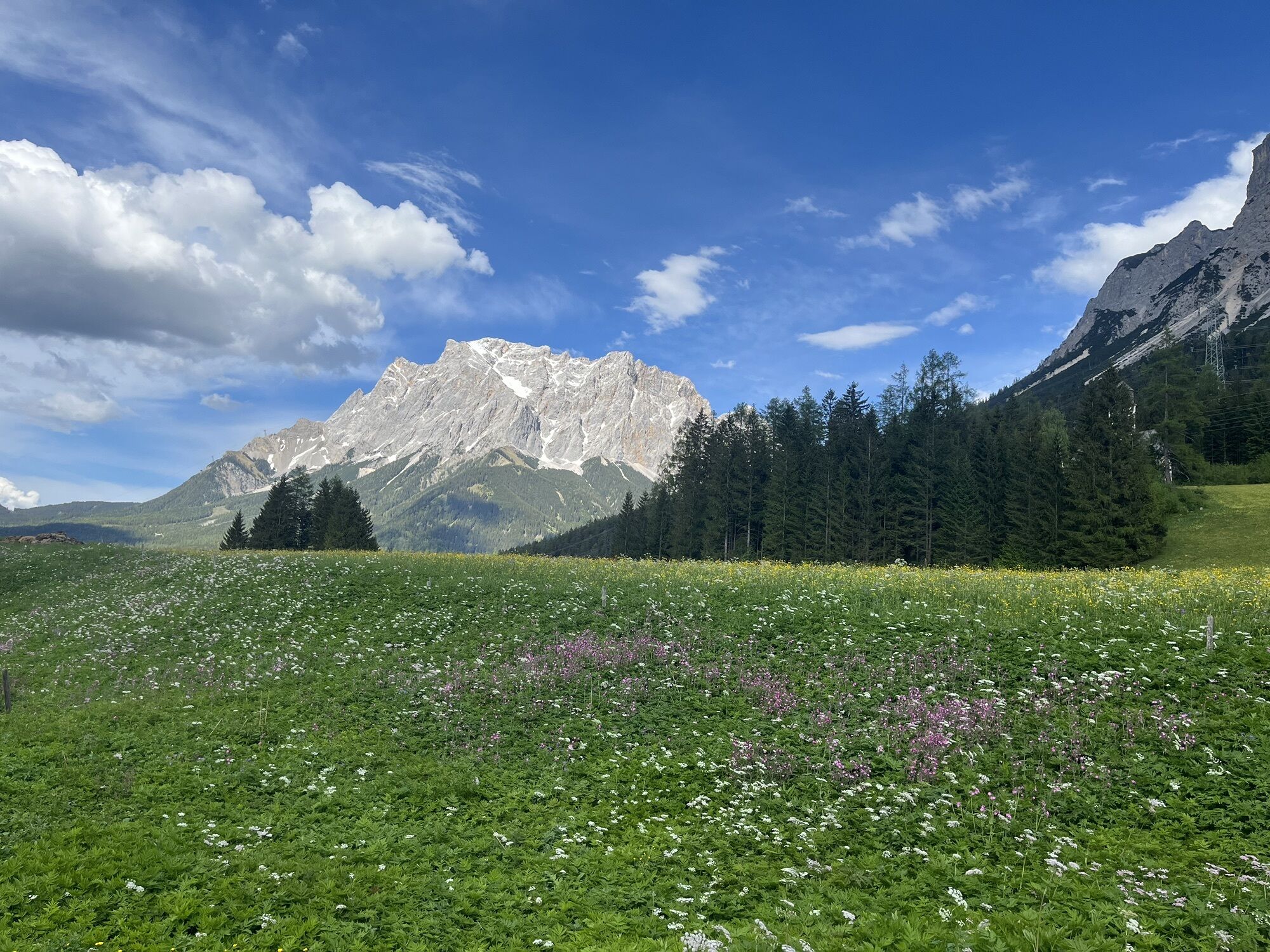
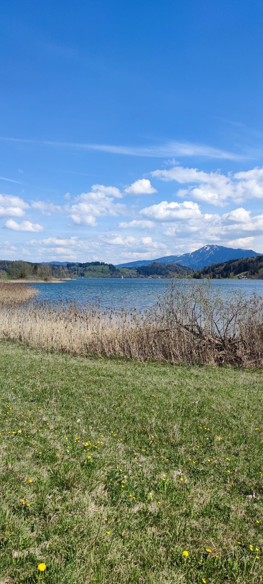
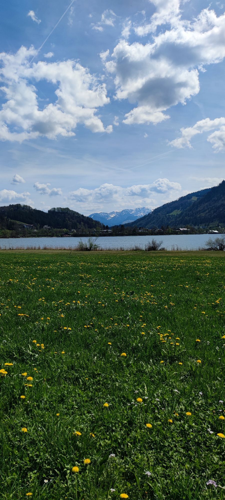
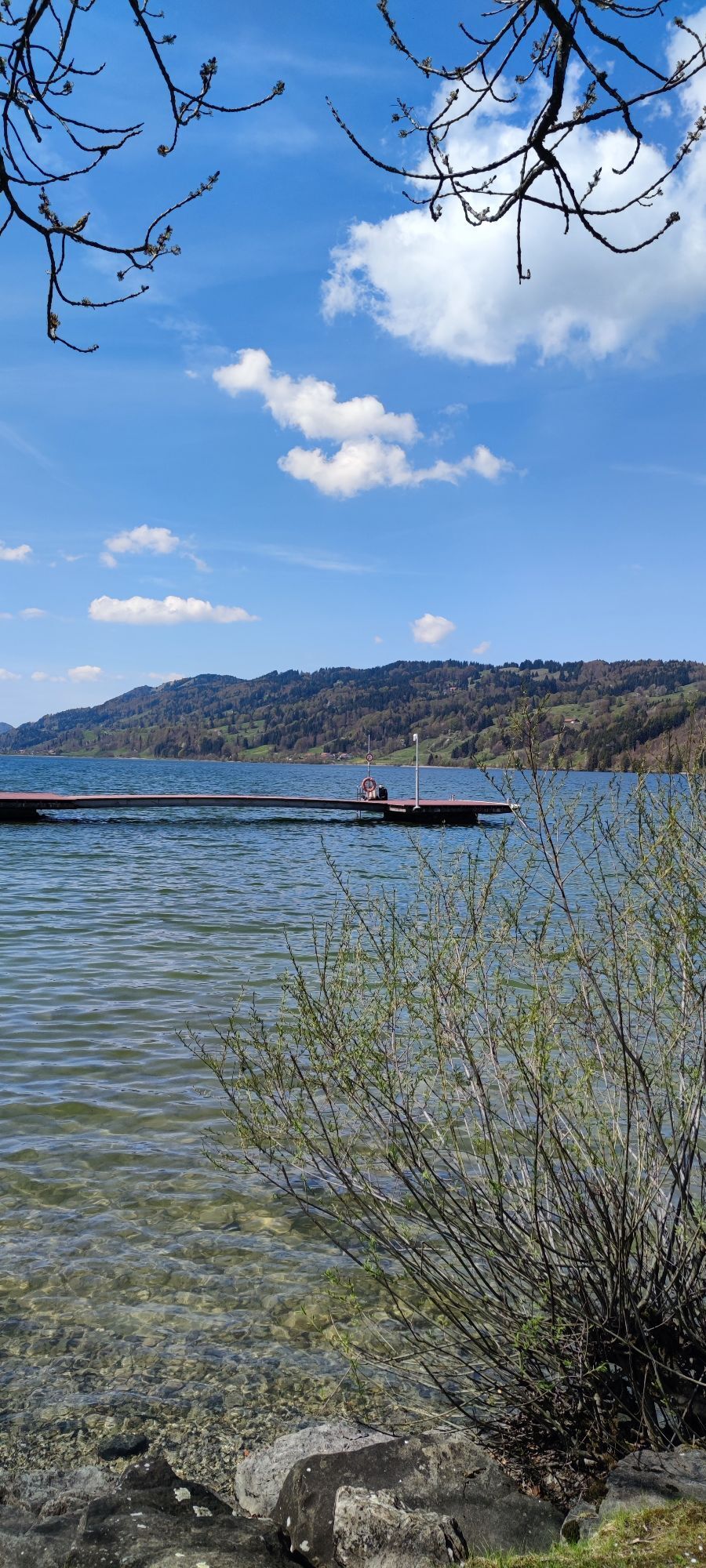
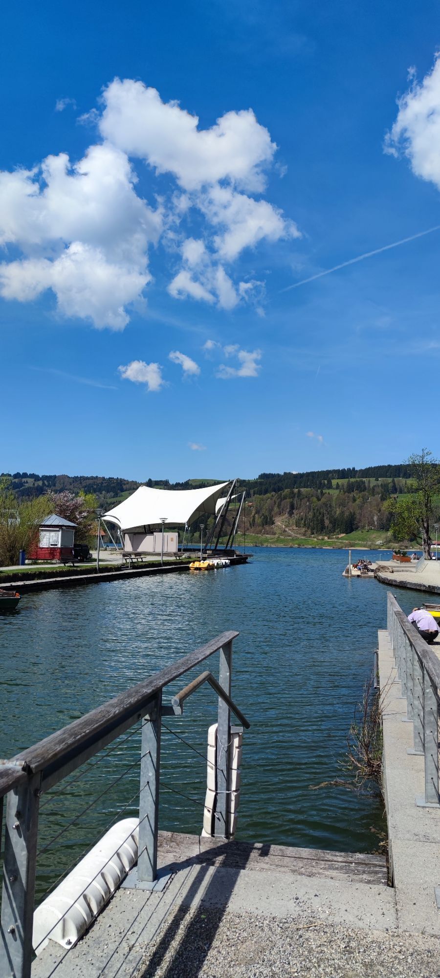
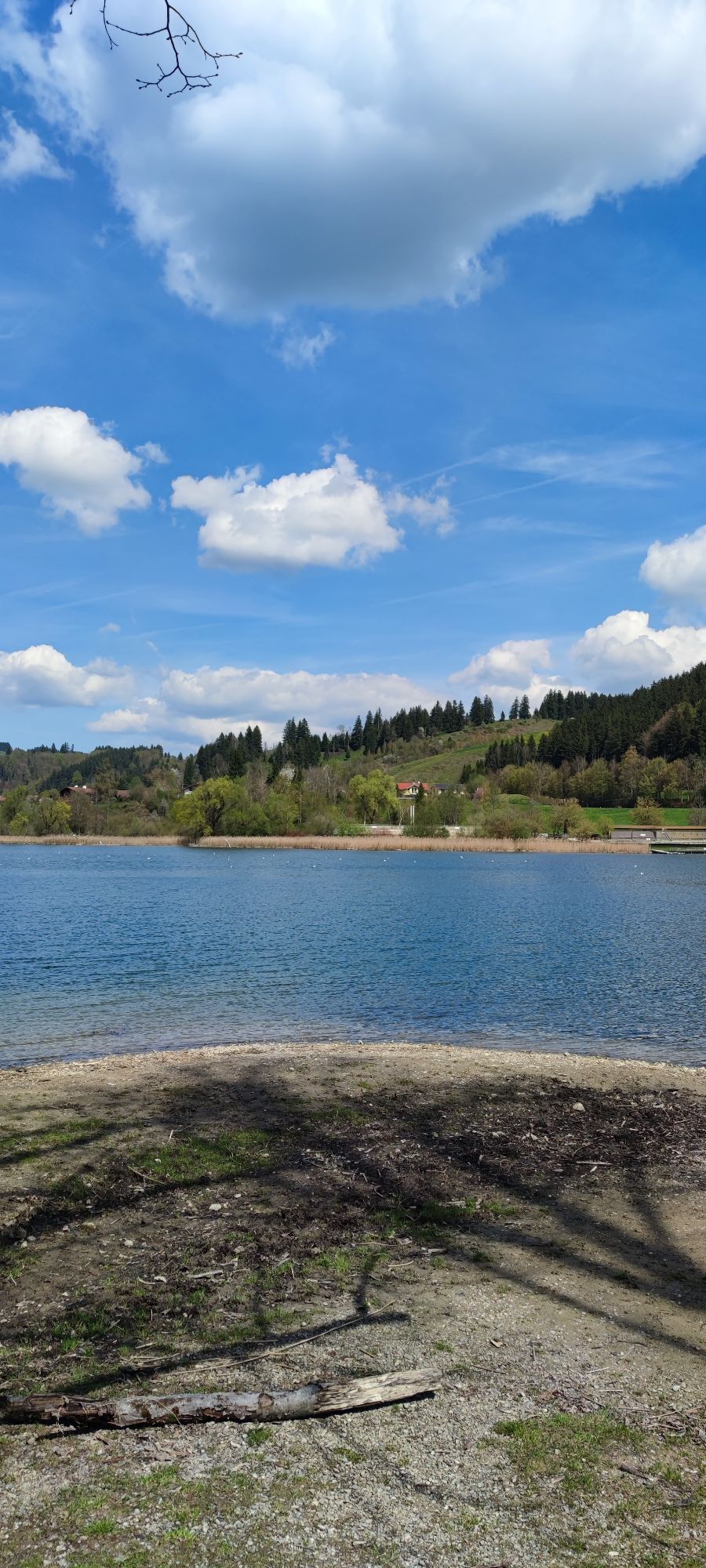
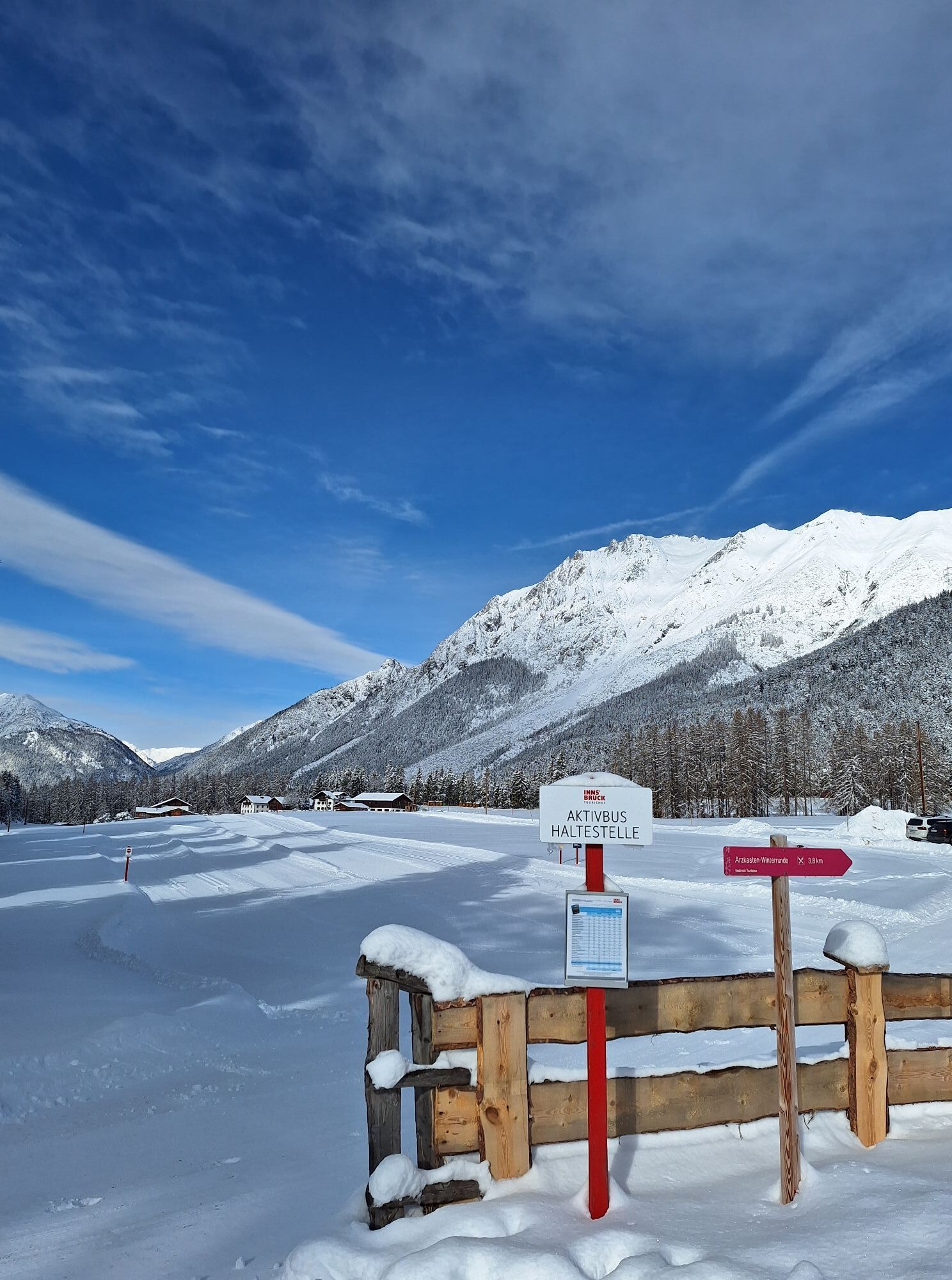
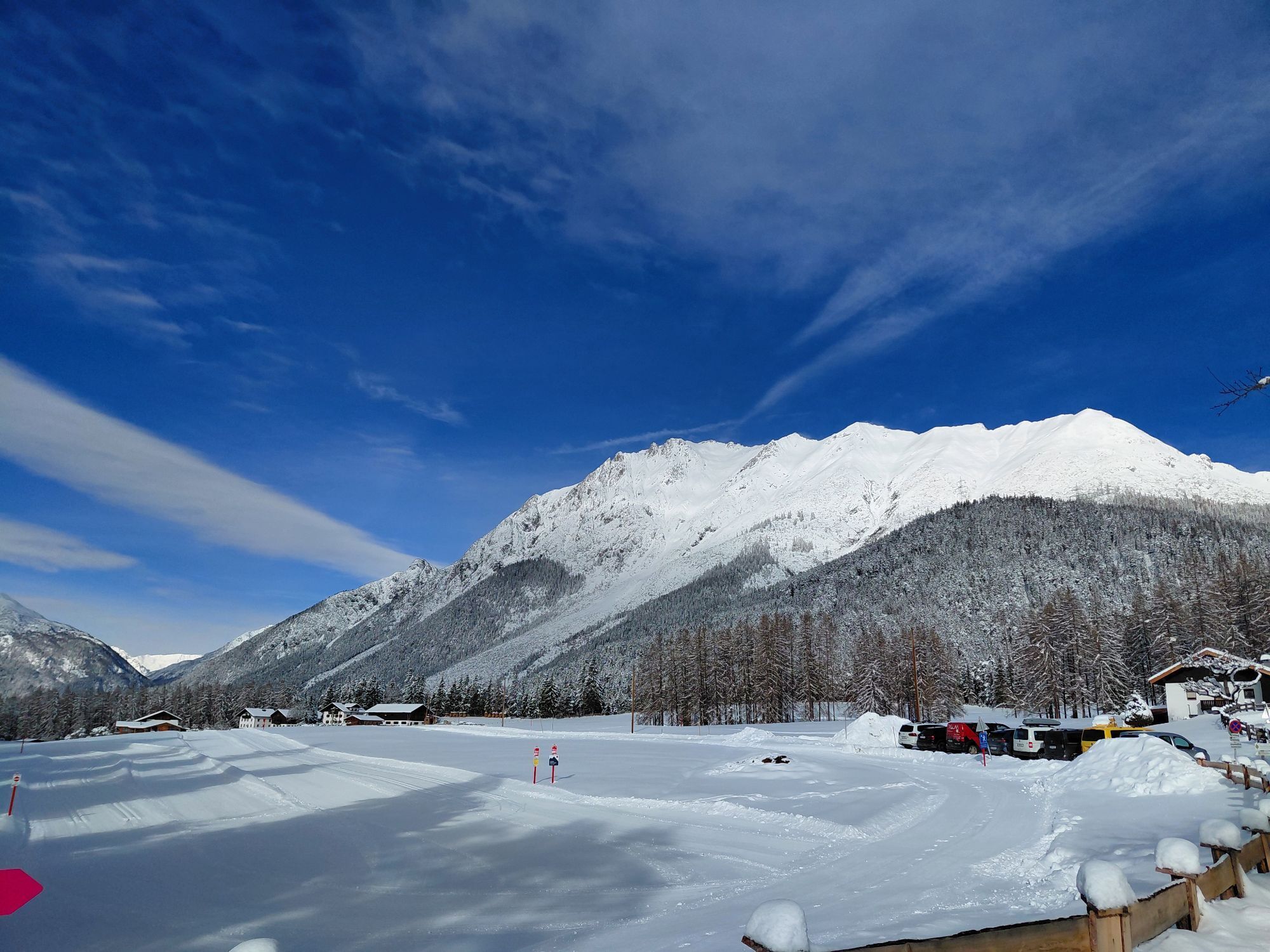
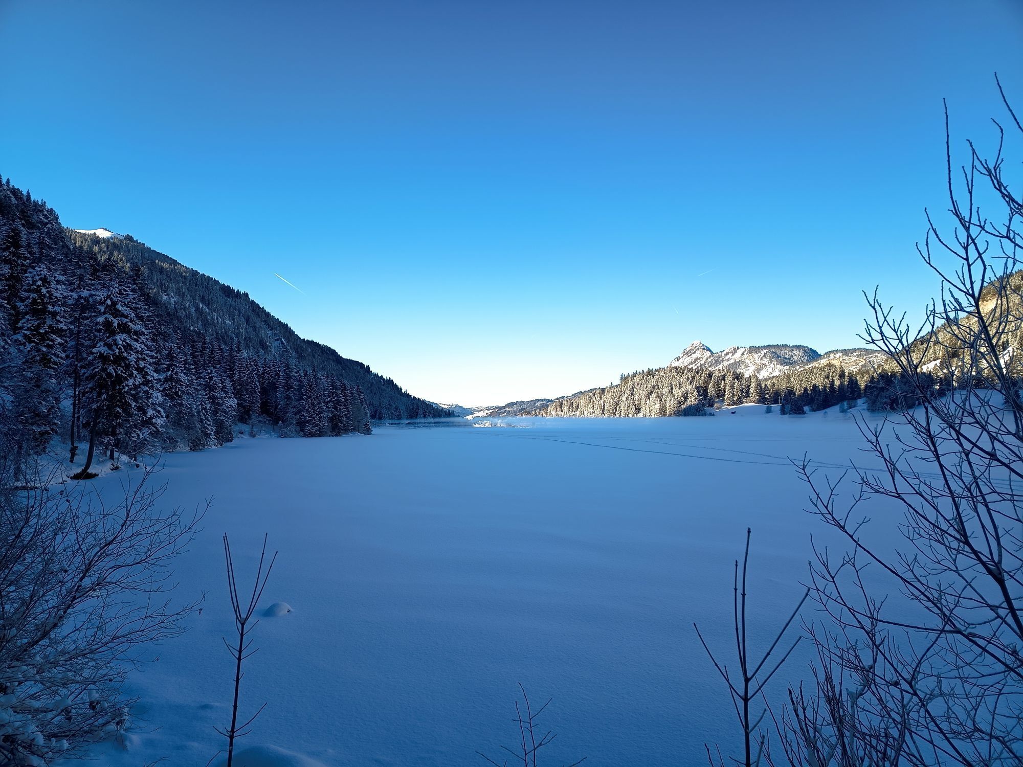
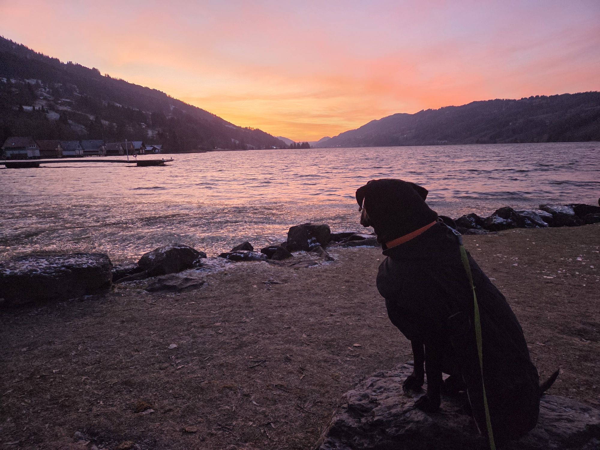
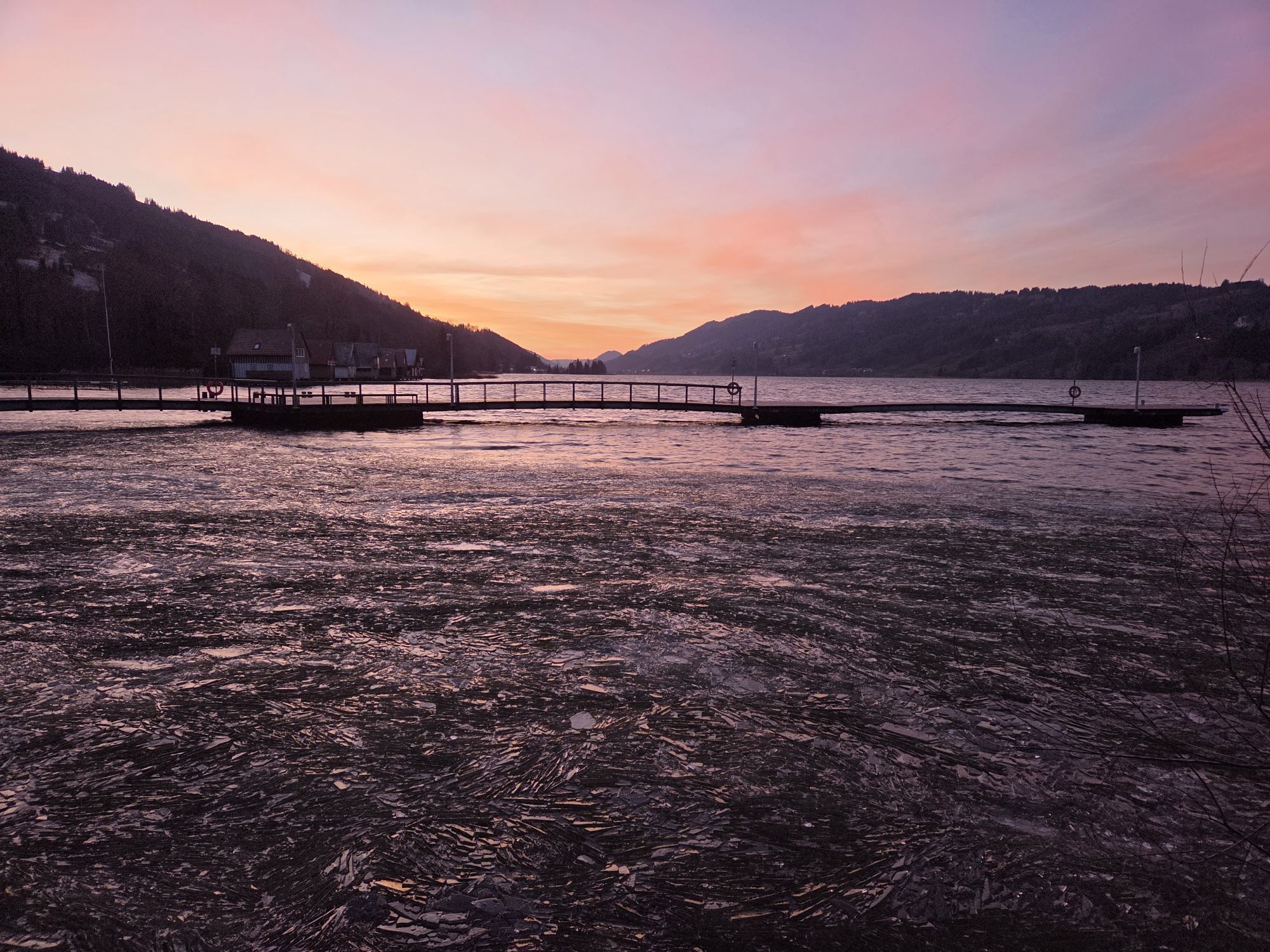
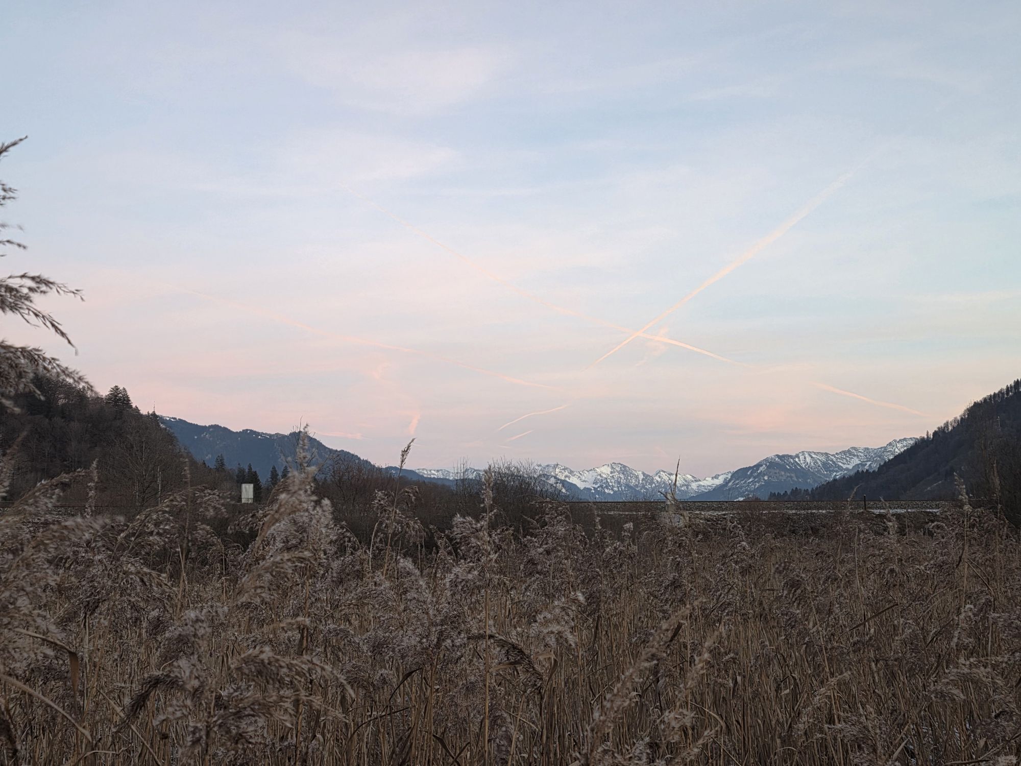
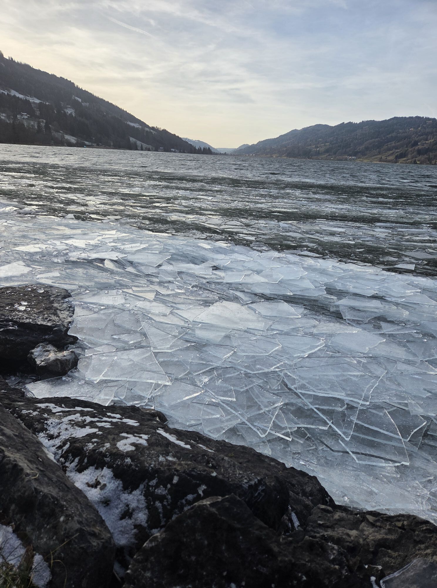
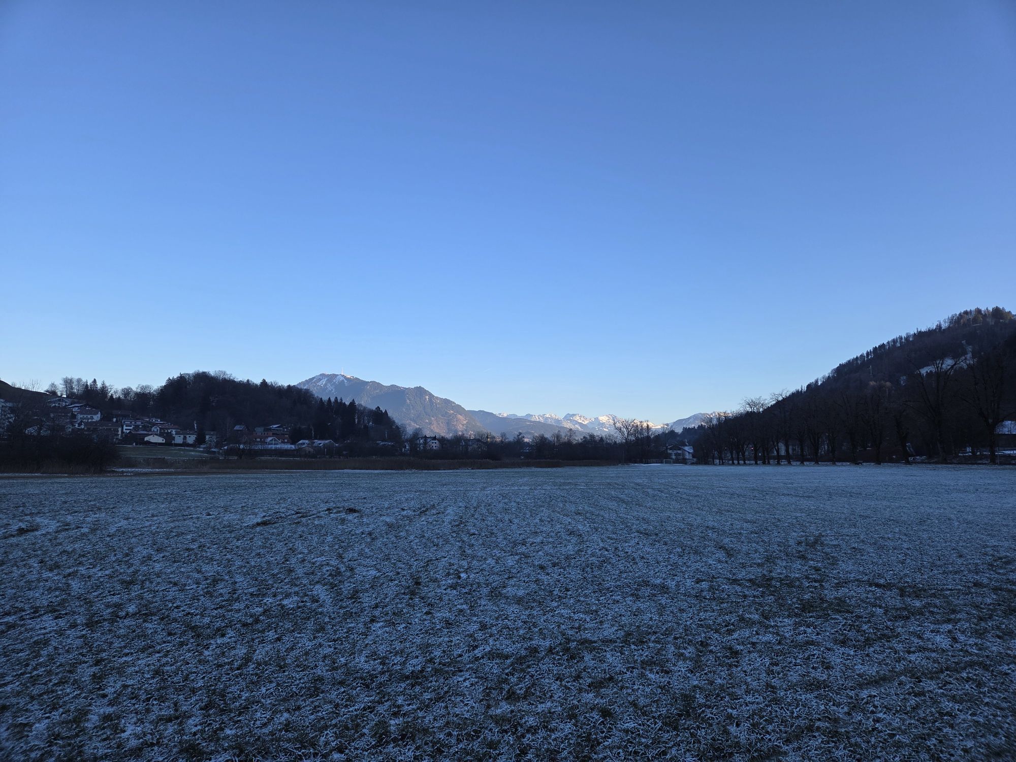
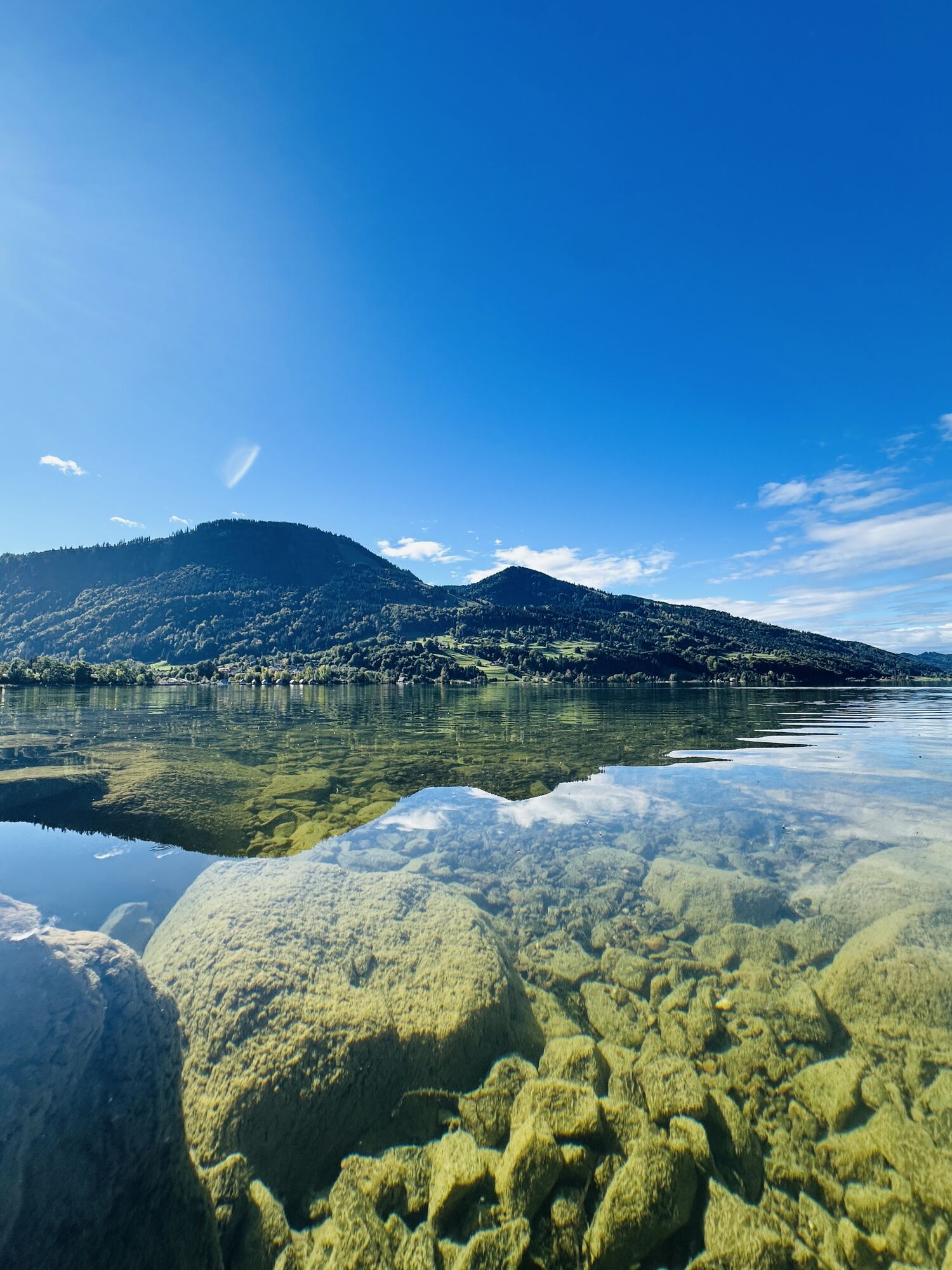
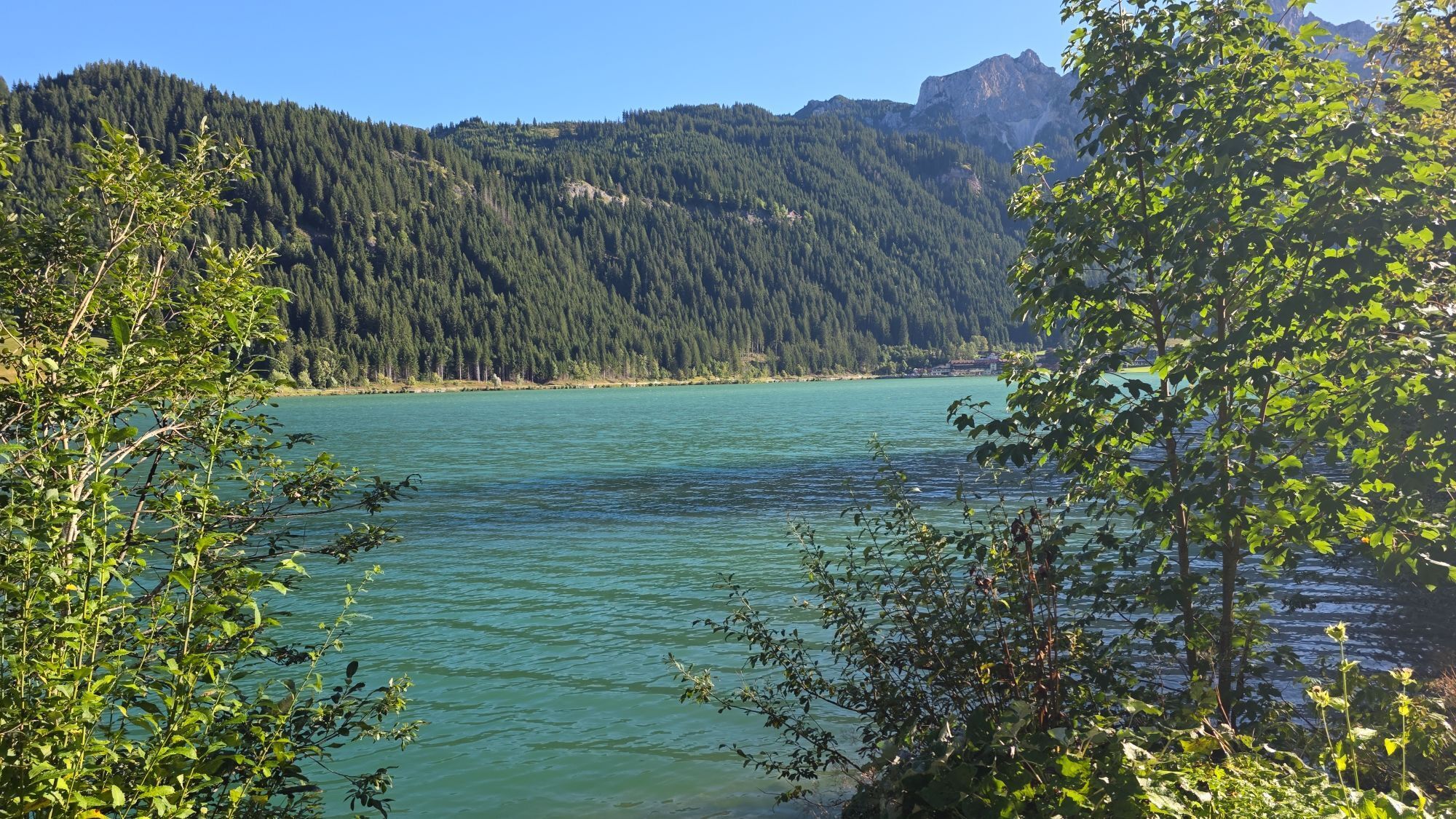
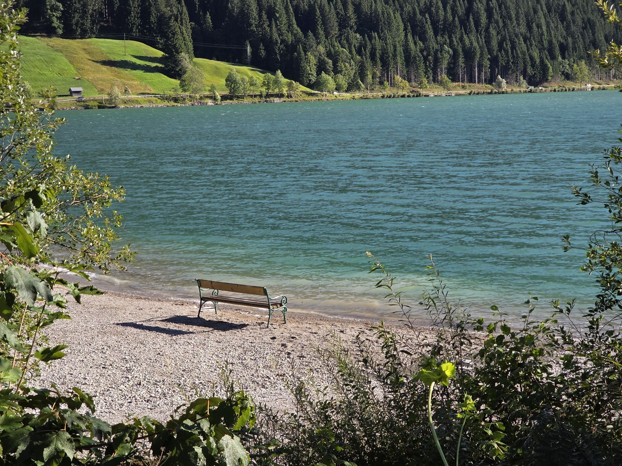
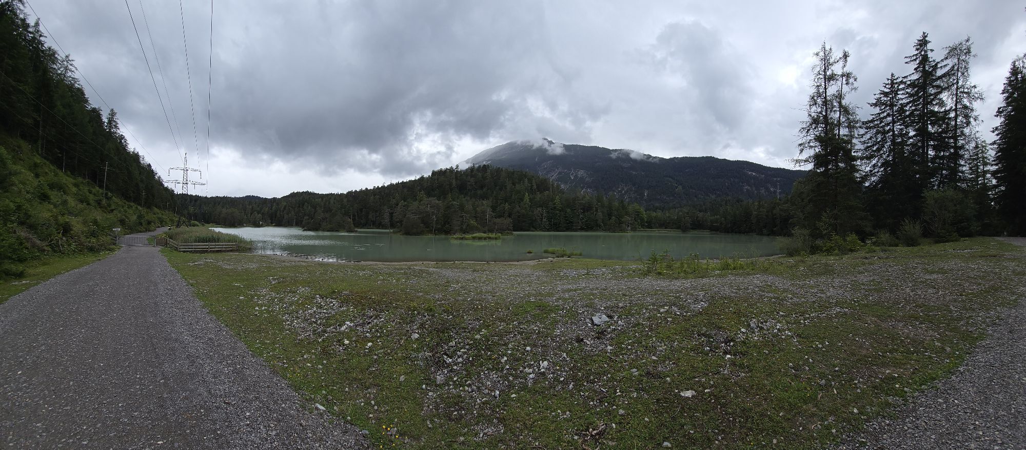
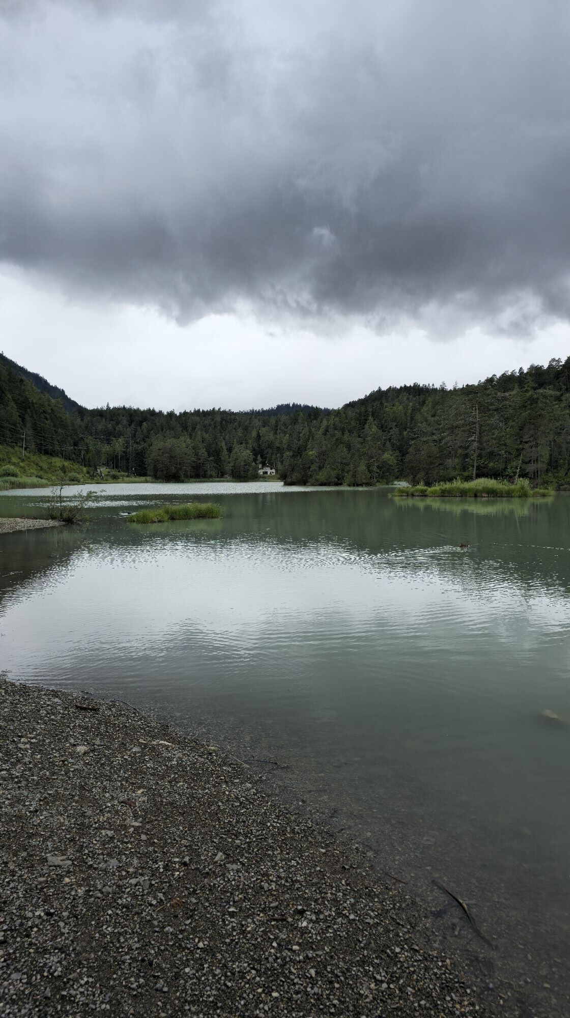
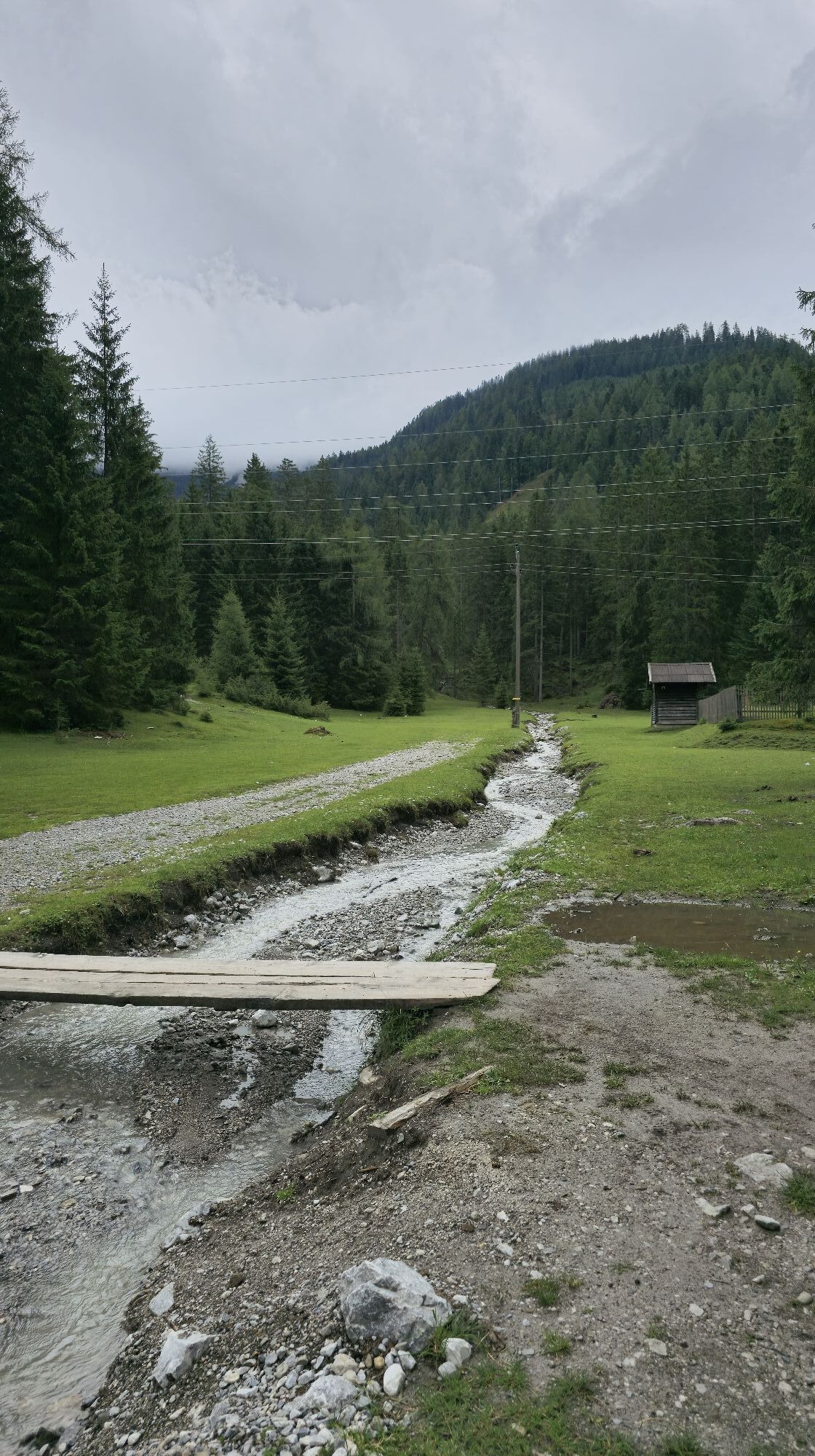
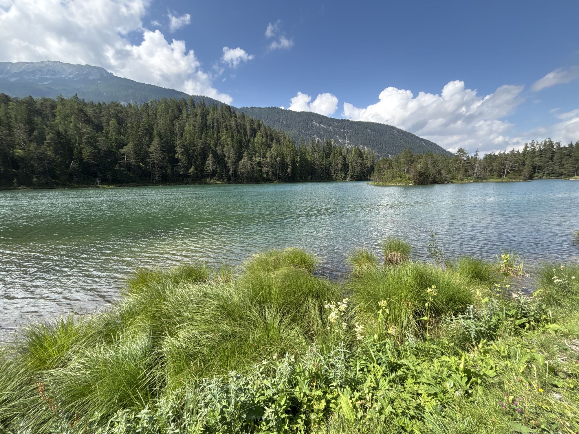
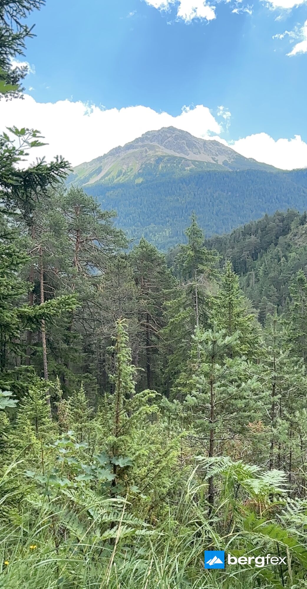
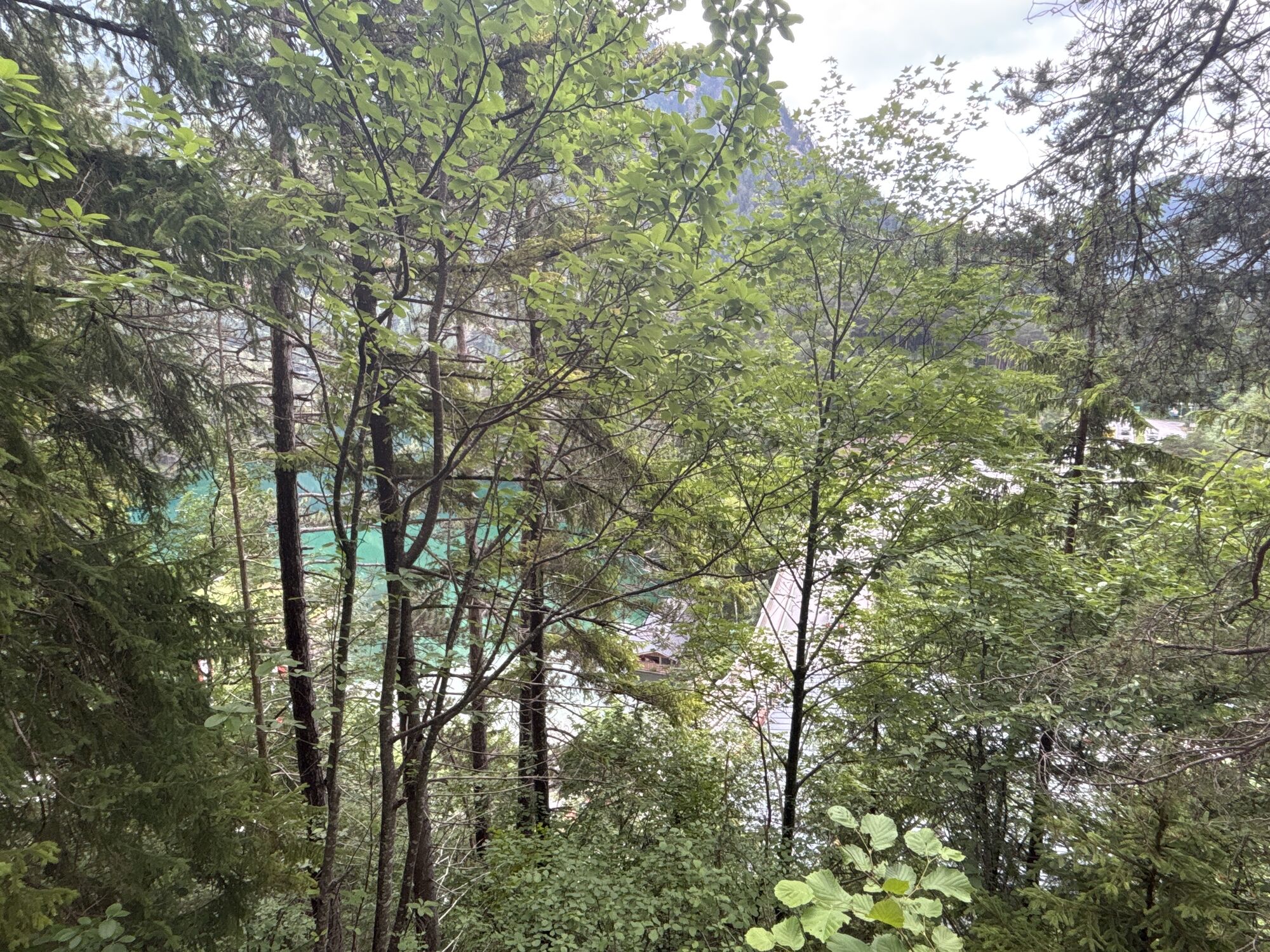
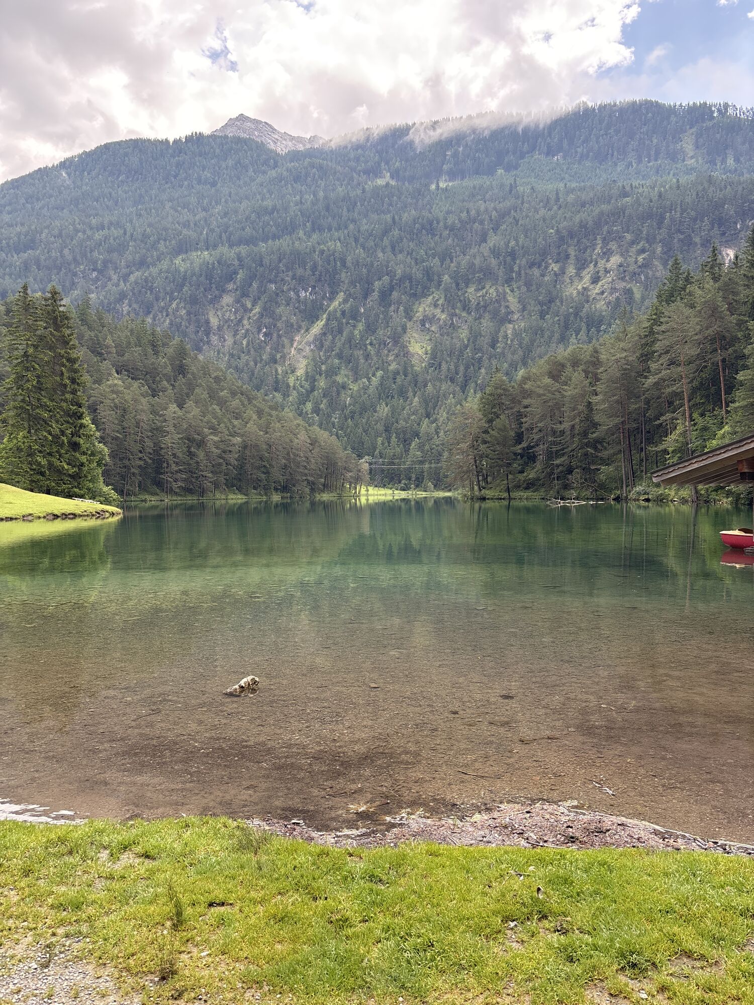
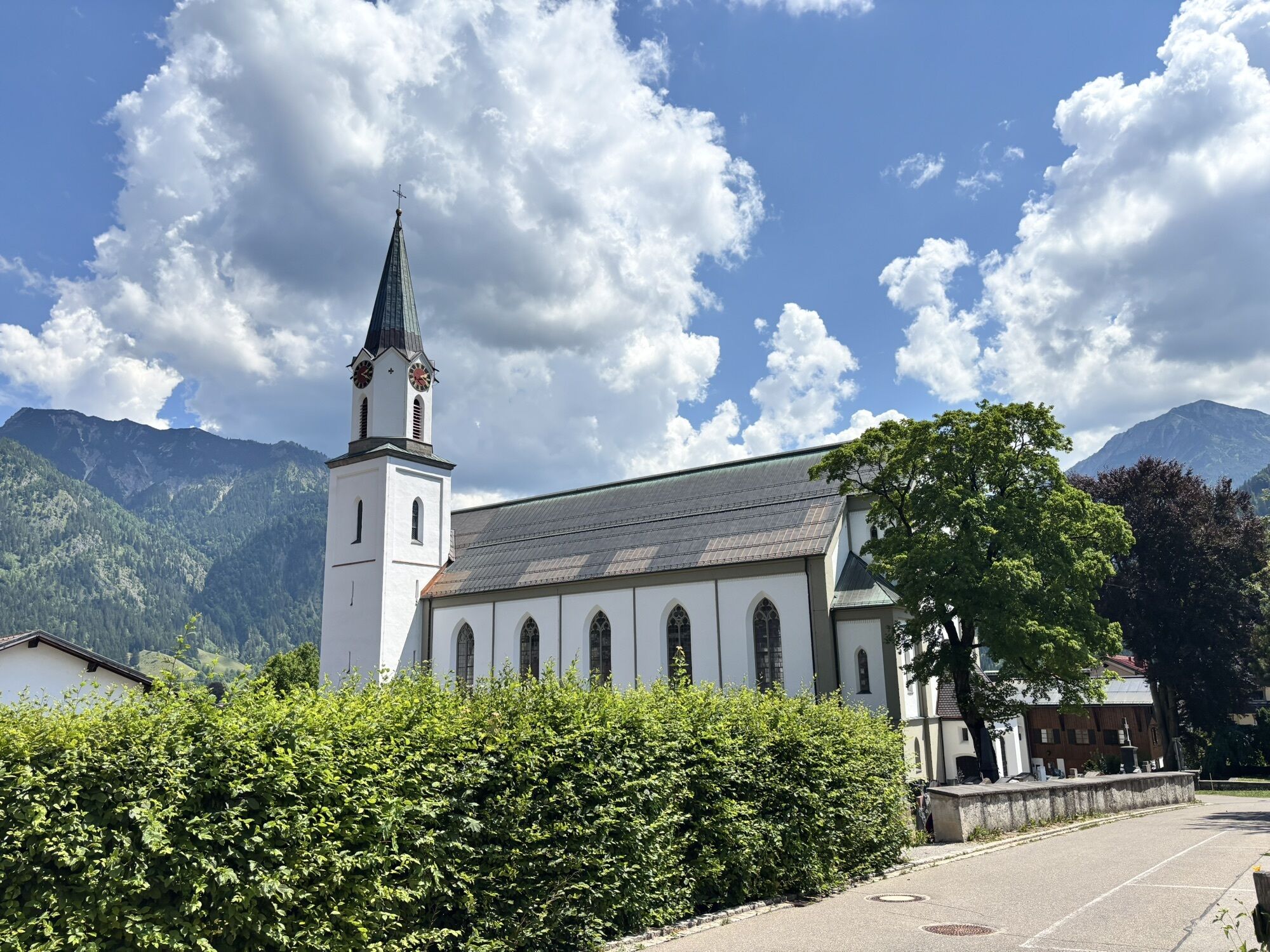
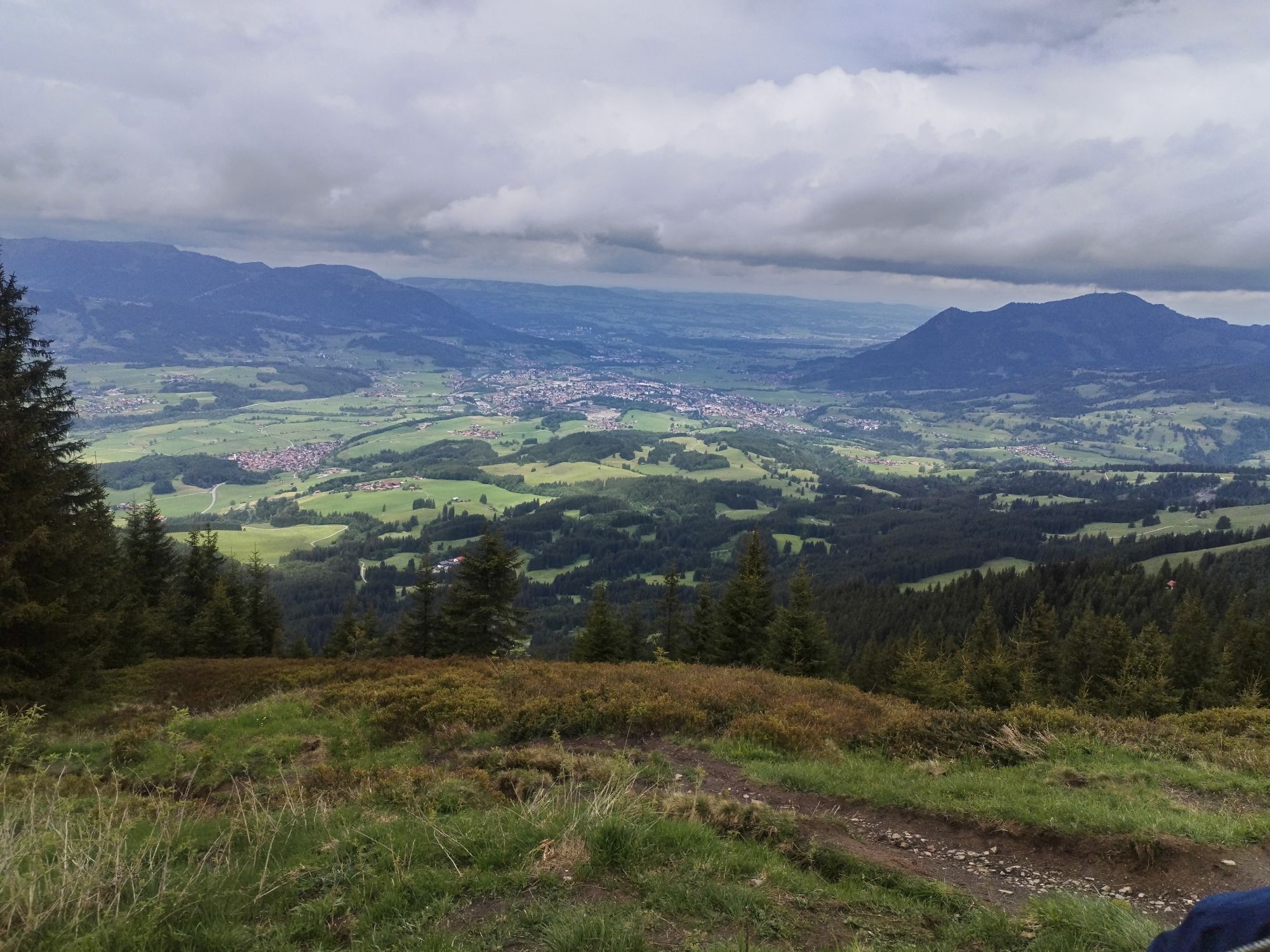
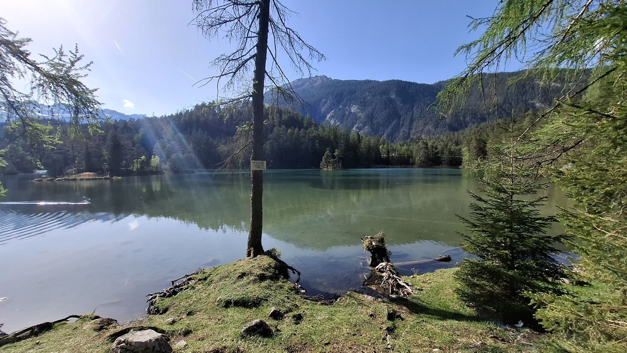
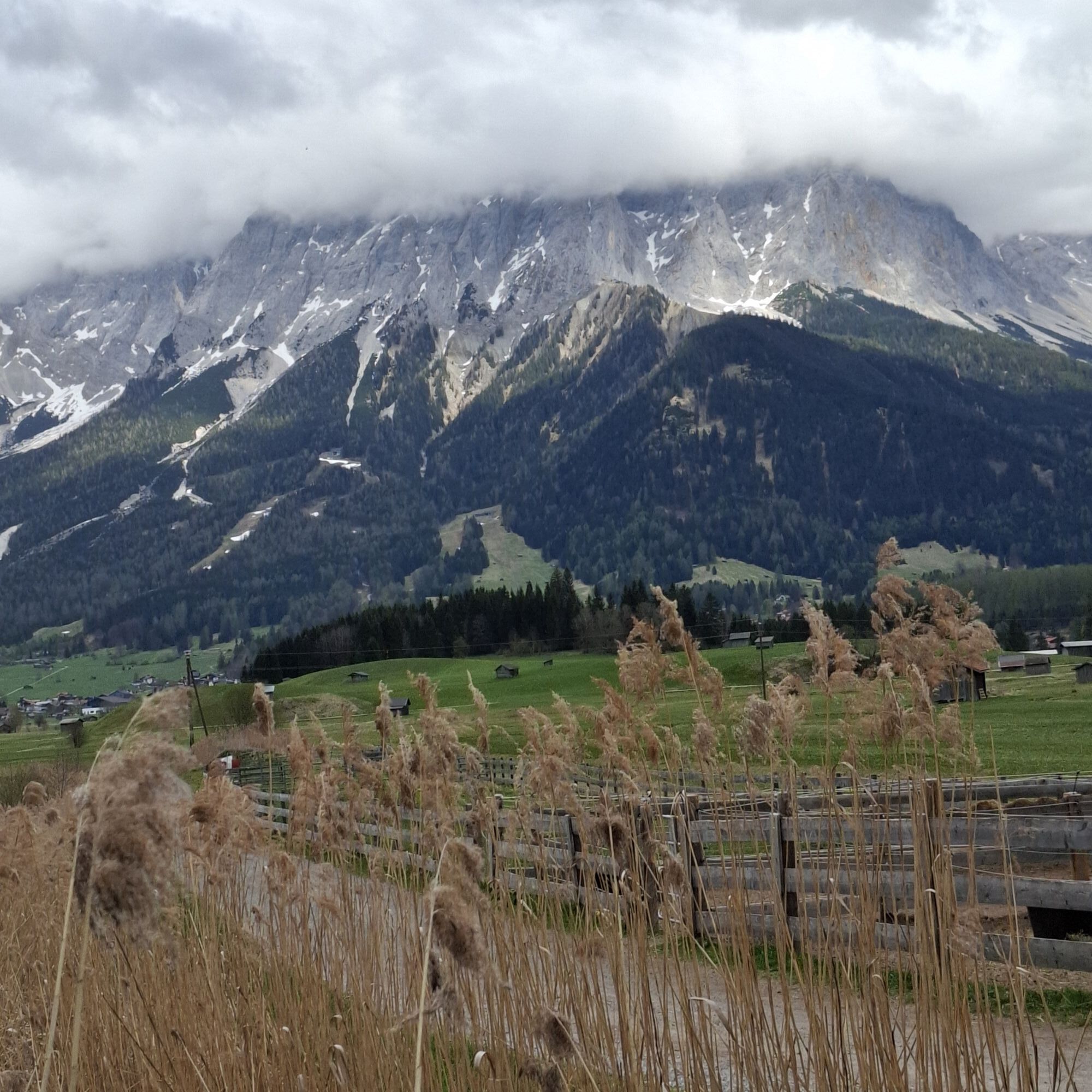
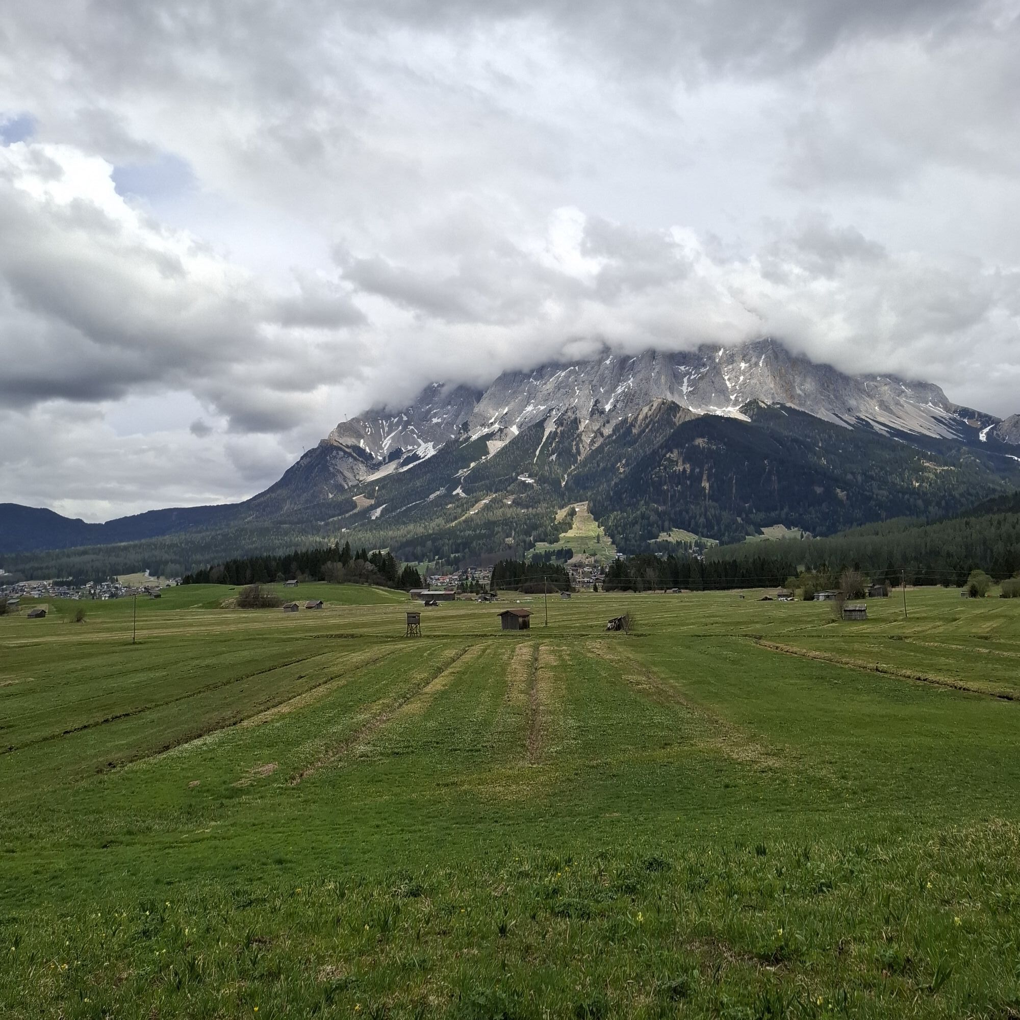
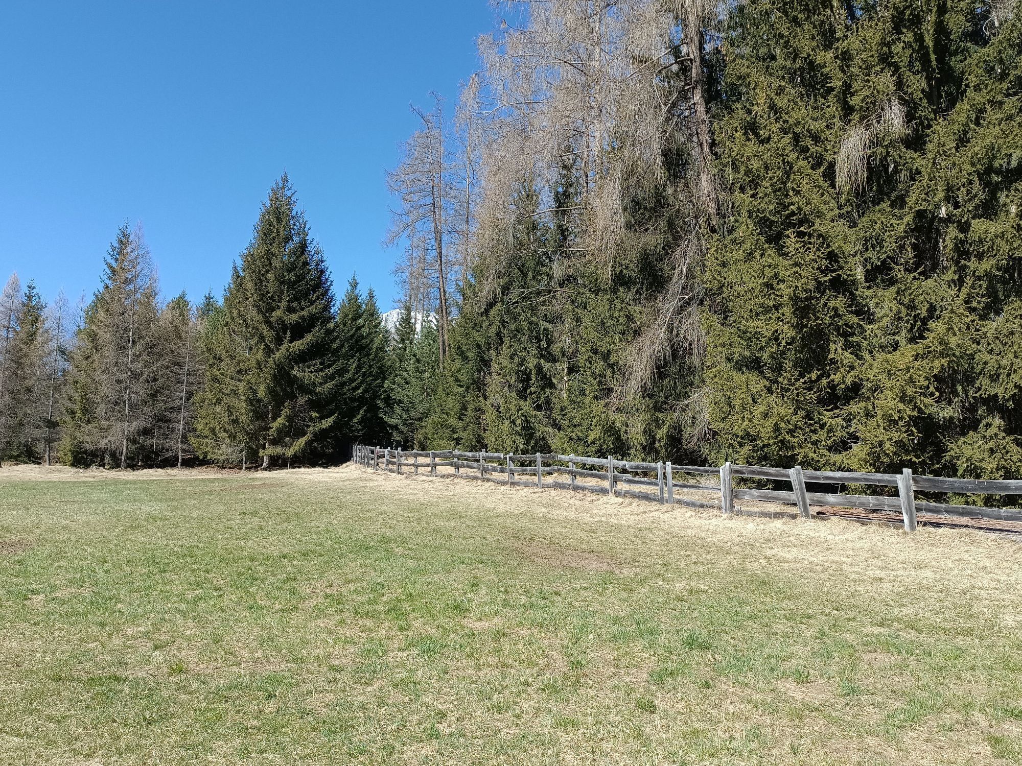
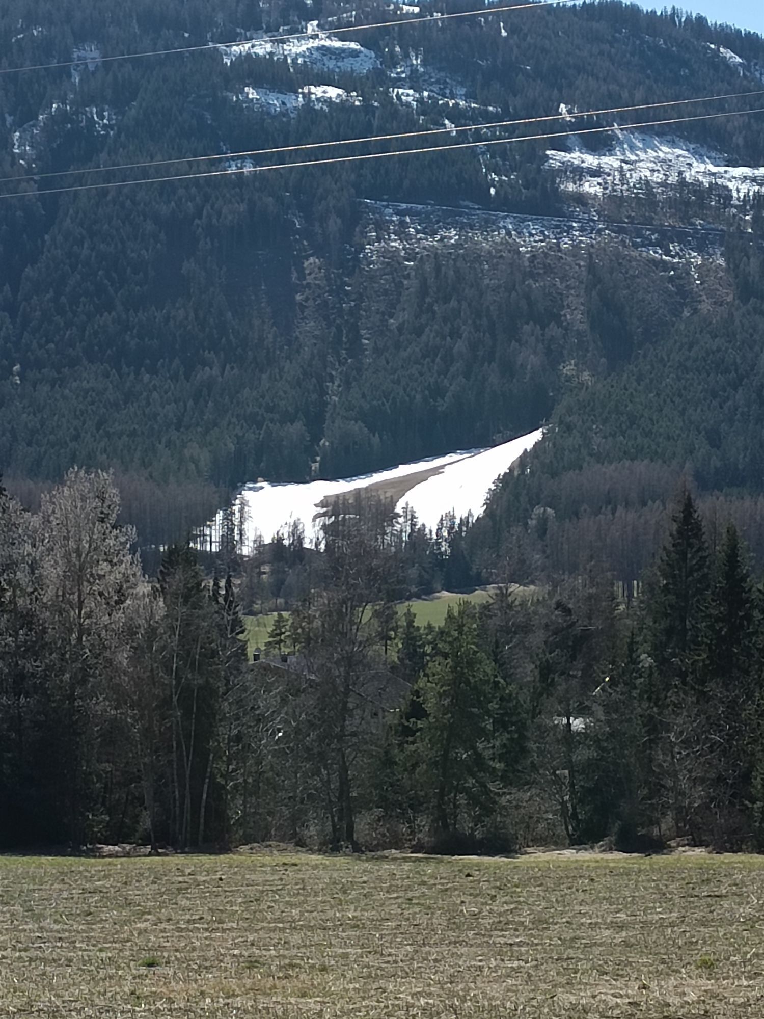
Photos de nos utilisateurs
-

 © One TCréé le 16.05.2024
 -
 © One TCréé le 16.05.2024
 -
 © Thomas KleinCréé le 18.04.2026
 -
 © Thomas KleinCréé le 18.04.2026
 -
 © Thomas KleinCréé le 18.04.2026
 -
 © Thomas KleinCréé le 18.04.2026
 -
 © Thomas KleinCréé le 18.04.2026
 -
 © GabrielasttzCréé le 18.02.2026
 -
 © GabrielasttzCréé le 18.02.2026
 -

 © Sabine SteuxnerCréé le 18.02.2026
 -
 © Bettina Miller 1Créé le 04.01.2026
 -
 © Silke S.Créé le 01.01.2026
 -
 © Silke S.Créé le 01.01.2026
 -
 © Silke S.Créé le 01.01.2026
 -
 © Silke S.Créé le 01.01.2026
 -
 © Silke S.Créé le 01.01.2026
 -
 © Silke S.Créé le 31.12.2025
 -
 © Erhard JaudCréé le 25.12.2025
 -
 © BairebikeCréé le 26.10.2025
 -
 © BairebikeCréé le 26.10.2025
 -
 © Bernd RiedesserCréé le 12.10.2025
 -
 © Bernd RiedesserCréé le 12.10.2025
 -

 © Christian BeirerCréé le 08.10.2025
 -
 © W.M.Créé le 04.10.2025
 -
 © W.M.Créé le 04.10.2025
 -
 © Dietmar ZinkCréé le 14.09.2025
 -
 © Rainer KieningCréé le 06.09.2025
 -
 © Rainer KieningCréé le 06.09.2025
 -

 © Benjamin LöfflerCréé le 24.07.2025
 -
 © Benjamin LöfflerCréé le 24.07.2025
 -
 © Benjamin LöfflerCréé le 24.07.2025
 -
 © Benjamin LöfflerCréé le 24.07.2025
 -

 © Birgit Fischer 2Créé le 04.07.2025
 -
 © Birgit Fischer 2Créé le 04.07.2025
 -
 © Birgit Fischer 2Créé le 04.07.2025
 -
 © Birgit Fischer 2Créé le 04.07.2025
 -
 © Birgit Fischer 2Créé le 04.07.2025
 -
 © Heiko HarmsCréé le 01.07.2025
 -

 © Markus KirchgäßnerCréé le 29.05.2025
 -
 © Markus KirchgäßnerCréé le 29.05.2025
 -
 © Leon HauschildCréé le 02.05.2025
 -

 © Henk de VriesCréé le 21.04.2025
 -
 © Henk de VriesCréé le 21.04.2025
 -
 © WilfriedCréé le 20.03.2025
 -
 © WilfriedCréé le 20.03.2025
 -
 © WilfriedCréé le 20.03.2025
 -
 © Melanie ZeniCréé le 02.03.2024
 -
 © Melanie ZeniCréé le 02.03.2024


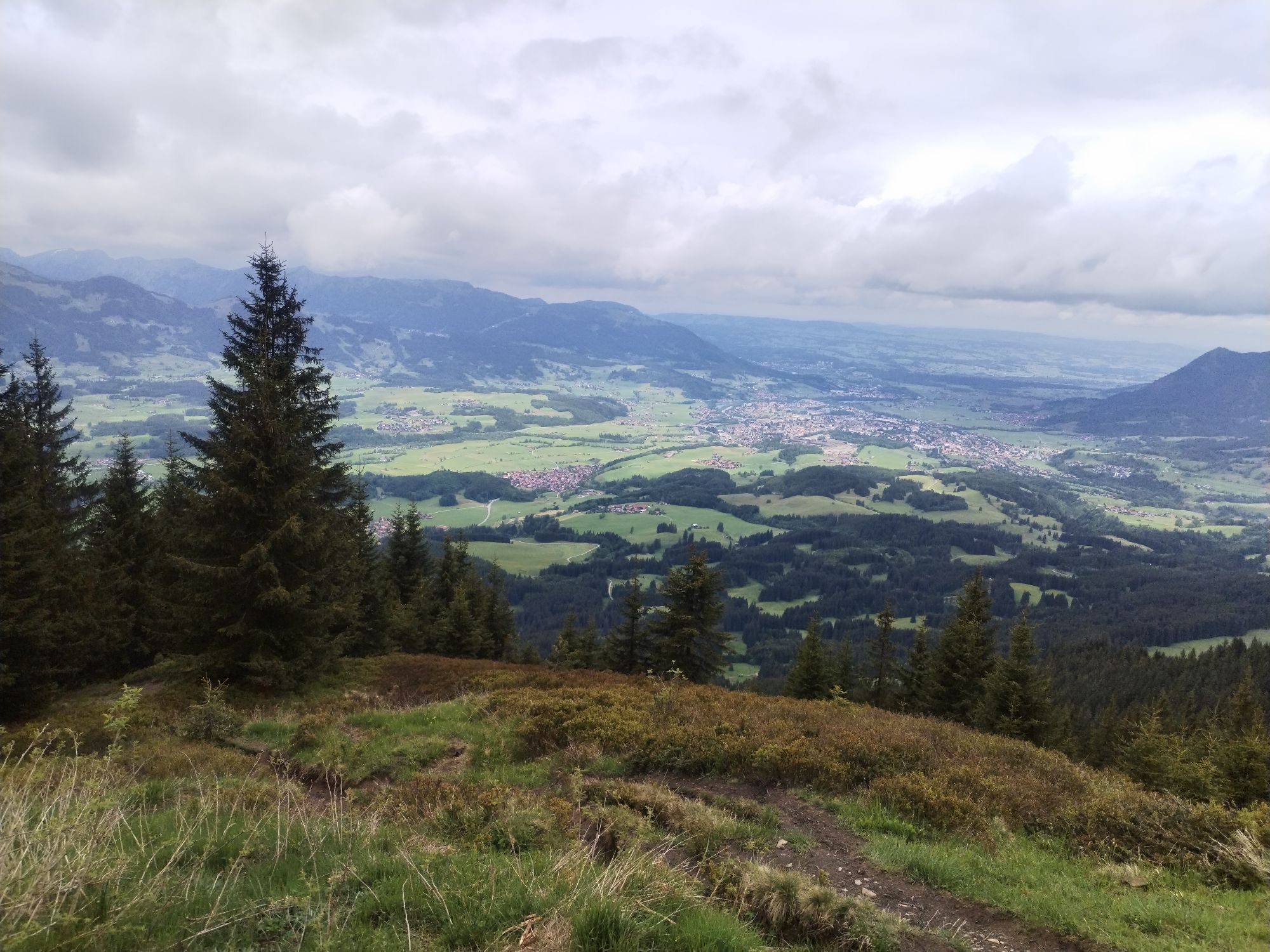


Le chemin de Saint-Jacques de Compostelle Tyrol-Allgäu
Cet itinéraire alpin de Saint-Jacques de Compostelle, très attrayant tant du point de vue du paysage que de la culture, mène à l'écart des grandes...
Le chemin de Saint-Jacques de Compostelle Tyrol-Allgäu
Cet itinéraire alpin de Saint-Jacques de Compostelle, très attrayant tant du point de vue du paysage que de la culture, mène à l'écart des grandes routes et traverse trois cols alpins, à savoir le
Fernpass, l'ancien Gaichtpass et le Jochpass. Il traverse ainsi quelques-unes des régions de randonnée et de vacances les plus attrayantes du Tyrol et du sud de l'Oberallgäu sur
d'anciennes voies romaines, commerciales et de pèlerinage.
Les pèlerins de Saint-Jacques peuvent sans aucun doute se réjouir d'un itinéraire particulièrement impressionnant. D'autant plus que celui-ci passe le plus souvent par des régions de montagne rurales et contemplatives
, dans lesquelles les hommes ont été profondément marqués par la foi et la peur des forces de la nature pendant des siècles. C'est pourquoi ces régions sont particulièrement riches en églises et chapelles
avec de nombreux joyaux artistiques et historiques, souvent d'époques très différentes. En combinaison avec les magnifiques vues panoramiques, les
perspectives toujours changeantes et la randonnée méditative, mais parfois éprouvante, par tous les temps, à travers ces paysages naturels alpins
, ce "camino" devient un chemin inoubliable qui sollicite tous les sens, riche en expériences intenses, en rencontres, en expériences - et peut-être aussi
nouvelles connaissances sur soi-même.
Intégration dans le réseau jacquaire d'Autriche et d'Allemagne
Le chemin de Saint-Jacques du Tyrol-Allgäu rejoint à Stams le chemin jacquaire austro-allemand de Munich le long de l'Isar, de la Loisach, de la Leutascher Ache et de l'Inn, ainsi que les deux chemins jacquaires autrichiens
qui se rejoignent à Innsbruck : le chemin de Lofer/Salzbourg à Innsbruck ainsi que la route de Lienz à Innsbruck. De
Innsbruck, ce rayon jacquaire concentré continue vers l'Arlberg via Stams ou justement à partir de Stams sur l'itinéraire Tyrol-Allgäu.
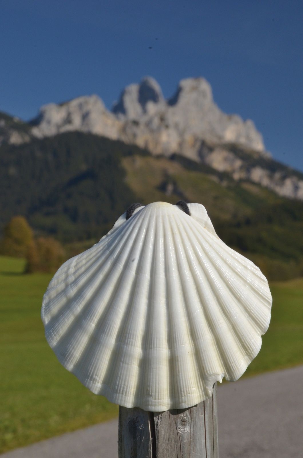
Timbre de pèlerinage et carte de pèlerin
Dans les chapelles jacquaires et les églises indiquées dans le texte, il y a des points de timbrage le long du chemin de Saint-Jacques. Ces tampons de pèlerinage sont de beaux souvenirs dans votre propre journal de pèlerinage
. Dans le carnet de pèlerin intrnat. reconnu, ils servent de preuve de l'itinéraire parcouru. En tant que document officiel, le carnet de pèlerin permet également de passer la nuit sur
dans des hébergements spéciaux pour pèlerins, dont il y a encore peu sur cet itinéraire. Il peut être obtenu auprès des communautés de pèlerins de Saint-Jacques de Compostelle
moyennant des frais de dossier.


Les pèlerins de Saint-Jacques peuvent sans aucun doute se réjouir ici d'un itinéraire particulièrement impressionnant. D'autant plus que celui-ci passe généralement par des régions de montagne rurales et contemplatives, où les hommes ont été profondément marqués pendant des siècles par la foi et la crainte des forces de la nature. C'est pourquoi ces régions sont particulièrement riches en églises et chapelles abritant de nombreux joyaux de l'histoire de l'art, souvent d'époques très différentes. En combinaison avec les magnifiques vues panoramiques, les perspectives sans cesse changeantes et la marche méditative, mais parfois éprouvante, par tous les temps, à travers ces paysages naturels alpins, ce "camino" devient un chemin inoubliable qui sollicite tous les sens, riche en expériences intenses, en rencontres, en expériences - et peut-être aussi en nouvelles connaissances sur soi-même. Intégration dans le réseau de chemins de Saint-Jacques d'Autriche et d'Allemagne Le chemin de Saint-Jacques du Tyrol-Allgäu rejoint à Stams le chemin de Saint-Jacques allemand-autrichien de Munich le long de l'Isar, de la Loisach, de la Leutascher Ache et de l'Inn, ainsi que les deux chemins de Saint-Jacques autrichiens qui se rejoignent à Innsbruck : le chemin de Lofer/Salzbourg à Innsbruck et la route de Lienz à Innsbruck. À partir d'Innsbruck, ce faisceau de chemins de Saint-Jacques tyroliens continue vers l'Arlberg via Stams ou, précisément à partir de Stams, sur la route Tyrol-Allgäu. Tampons et cartes de pèlerins Dans les chapelles de Saint-Jacques et les églises indiquées dans le texte, il y a des points de tamponnage le long du chemin de Saint-Jacques. Ces tampons sont de beaux souvenirs dans le journal de bord du pèlerin. Dans le carnet de pèlerin reconnu au niveau international, ils servent de preuve de l'itinéraire parcouru. En tant que document officiel, le carnet de pèlerin permet également de passer la nuit dans des hébergements spéciaux pour pèlerins, dont il y a encore peu sur cet itinéraire. Il est disponible auprès des communautés de pèlerins de Saint-Jacques, moyennant des frais de dossier.
Oui
L'équipement personnel du pèlerin doit être sûr, utilisable et conforme aux normes techniques en vigueur. Le sac à dos ne doit pas dépasser le poids de 15
kg. Il est recommandé à chaque pèlerin de s'informer et de se préparer en détail dans la littérature spécialisée ou sur Internet.
Remarque pour les cyclistes et les personnes en fauteuil roulant
Cet itinéraire du chemin de Saint-Jacques n'est pas adapté aux personnes en fauteuil roulant. Les vététistes et les cyclistes disposant d'un vélo de randonnée robuste, d'une condition physique et d'un équipement appropriés
seront enthousiasmés par cet itinéraire. Exception : la première étape de Mötz à travers la gorge vers le plateau de Mieming doit être contournée - le mieux est de suivre la petite route directe peu fréquentée
de Mötz à Finsterfiecht/Obsteig, à l'ouest de l'itinéraire du chemin de Saint-Jacques. L'ancien chemin du Fernpass est techniquement difficile dans sa partie supérieure,
surtout en cas d'humidité (trajet de poussée). Pour la descente d'Oberjoch vers Bad Oberdorf/Bad Hindelang, il est préférable d'emprunter la route du col à partir de la chapelle St Jakob.
Le chemin des rives du lac du Großer Alpsee près d'Immenstadt- Bühl est interdit aux cyclistes. Parallèlement au sentier de randonnée, la piste cyclable longe la voie ferrée sur une petite route tranquille derrière
. Les cyclistes ne peuvent pas emprunter le sentier de randonnée.
Il convient de noter qu'il peut exister un risque accru d'accident et de blessure sur les chemins de pèlerinage. Malgré une planification prudente de la randonnée, il subsiste toujours un risque de base
. Une préparation de la randonnée par le biais d'un sport d'endurance, d'un entraînement technique adéquat et d'une préparation mentale réduit le risque d'accident et les risques.
N'oubliez cependant jamais que le temps peut changer très rapidement en montagne.
Soit via Innsbruck sur l'autoroute à péage de la vallée de l'Inn en direction d'Imst vers Stams, soit via Reutte et le Fernpass vers Nassereith ou via Obsteig/Miemiger sonnenplateau vers Stams. depuis Munich via Seefeld/Tyrol vers Telfs et sur l'autoroute de la vallée de l'Inn en direction de Haiming/Imst vers Stams
Parkings publics à Stams en partie payants
T2
Les temps de marche indiqués (sans les pauses) sont calculés de manière généreuse et sont donnés à titre indicatif. La taille du groupe, les arrêts culturels et photographiques, etc. influencent le temps nécessaire.
Webcams de la tournée
-
Sonnalmbahn
-
Grubig Alm
-
Tannheim
-
Marienberg
-
Zöblen
-
Tiroler Zugspitze - Golf-Anlage
-
Grünberglifte Obsteig
-
Bad Hindelang/Oberjoch
-
Lermoos
-
Höfen Flugplatz
-
Höfen Flugplatz
-
Neunerköpfle Mittelstation
-
Haldensee - Neunerköpfle
-
Coburger Hütte
-
Oberstaufen
-
Wettersteinbahnen Ehrwald
-
Ehrwald Wettersteinbahnen
-
Wettersteinbahnen
-
Wettersteinbahnen - Gamsalm Ehrwald
-
Skilifte Sinswang
-
Oberstaufen - Biohotel Schratt
-
Oberstaufen - Biohotel Schratt
-
Weißenbach - Hotel Florence
-
Grubigstein
-
Grän - Almdorf Tirol
-
Neunerköpfle Mittelstation
-
Neunerköpfle Mittelstation
-
Neunerköpfle Mittelstation
-
Neunerköpfle Mittelstation
-
Neunerköpfle Mittelstation
-
Neunerköpfle Mittelstation
-
Neunerköpfle Mittelstation
-
Segelclub Alpsee
-
Tiroler Zugspitze - Golf-Anlage
-
Tiroler Zugspitze - Golf-Anlage
-
Tiroler Zugspitze - Golf-Anlage
-
Tiroler Zugspitze - Golf-Anlage
-
Tiroler Zugspitze - Golf-Anlage
-
Tiroler Zugspitze - Golf-Anlage
-
Egghof Sunjet
Parcours populaires à proximité
-
4,8
Thaneller
moyenRandonnée 4,90 km -
4,8
Autour du Weißensee
facileRandonnée 6,12 km -
5,0
Randonnée en montagne sur le Breitenberg
difficileRandonnée 15,6 km -
4,8
3-Gipfel-Tour
moyenRandonnée 11,2 km -
4,8
Tannheim / Vilsalpsee / Landsberger Hütte
moyenRandonnée 15,7 km -
3,1
Hochvogel 2592 m
difficileRandonnée 18,0 km -
4,6
3-Seen Rundtour Vilsalpsee / Schrecksee / Traualpsee
moyenRandonnée 17,1 km -
4,9
Iseler und Kühgundkopf
moyenRandonnée 7,63 km -
4,8
Vers le refuge Bad Kissinger via le Gräner Höhenweg
moyenRandonnée 13,0 km -
4,3
Rundwanderung Stuibenfälle
moyenRandonnée 3,92 km
Randonnée et suivi


Ne manquez pas les offres et l'inspiration pour vos prochaines vacances
Votre adresse électronique a été ajouté à la liste de diffusion.