


Motorcycle tour Nockalm road and lake Millstatt

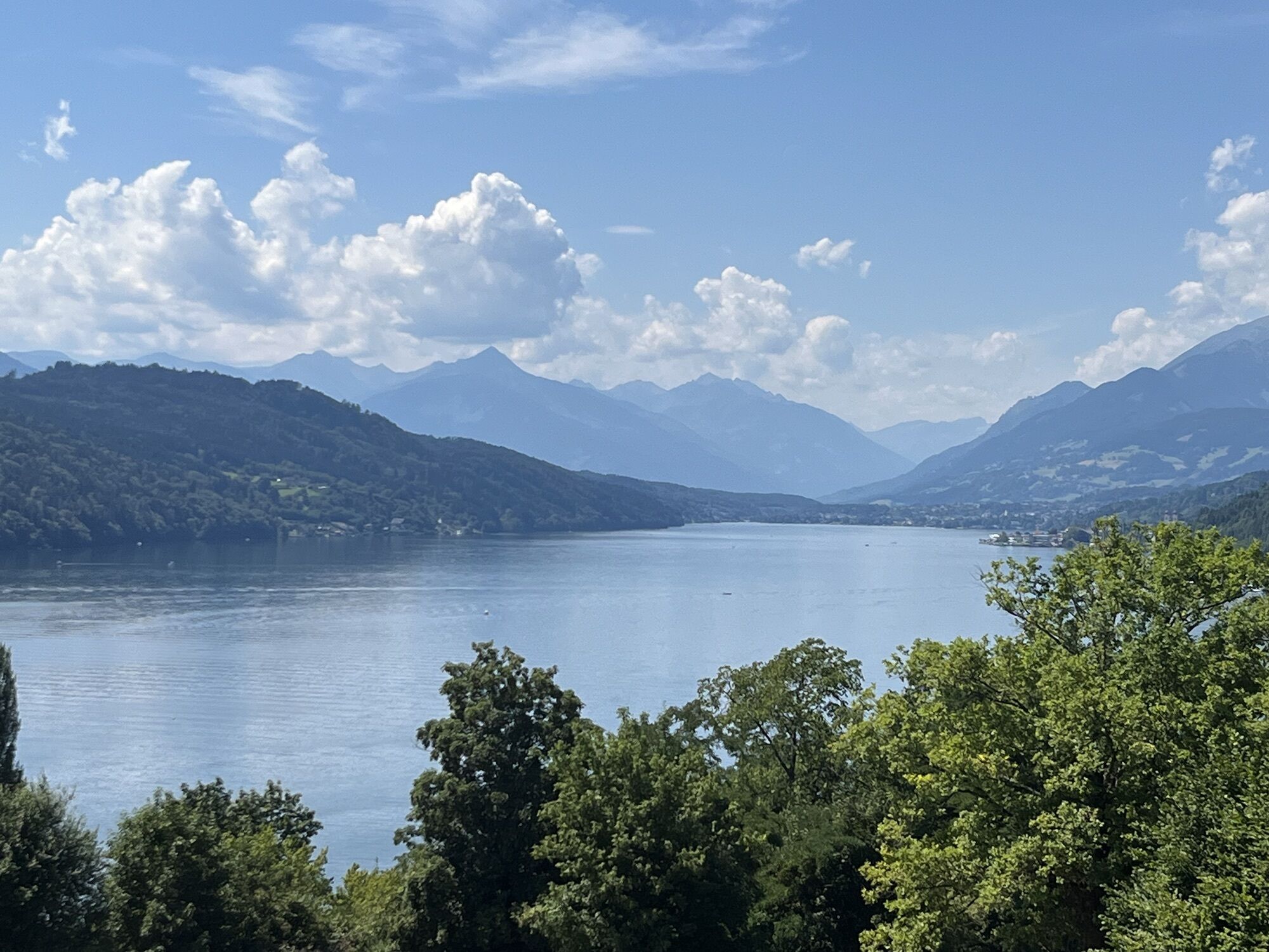
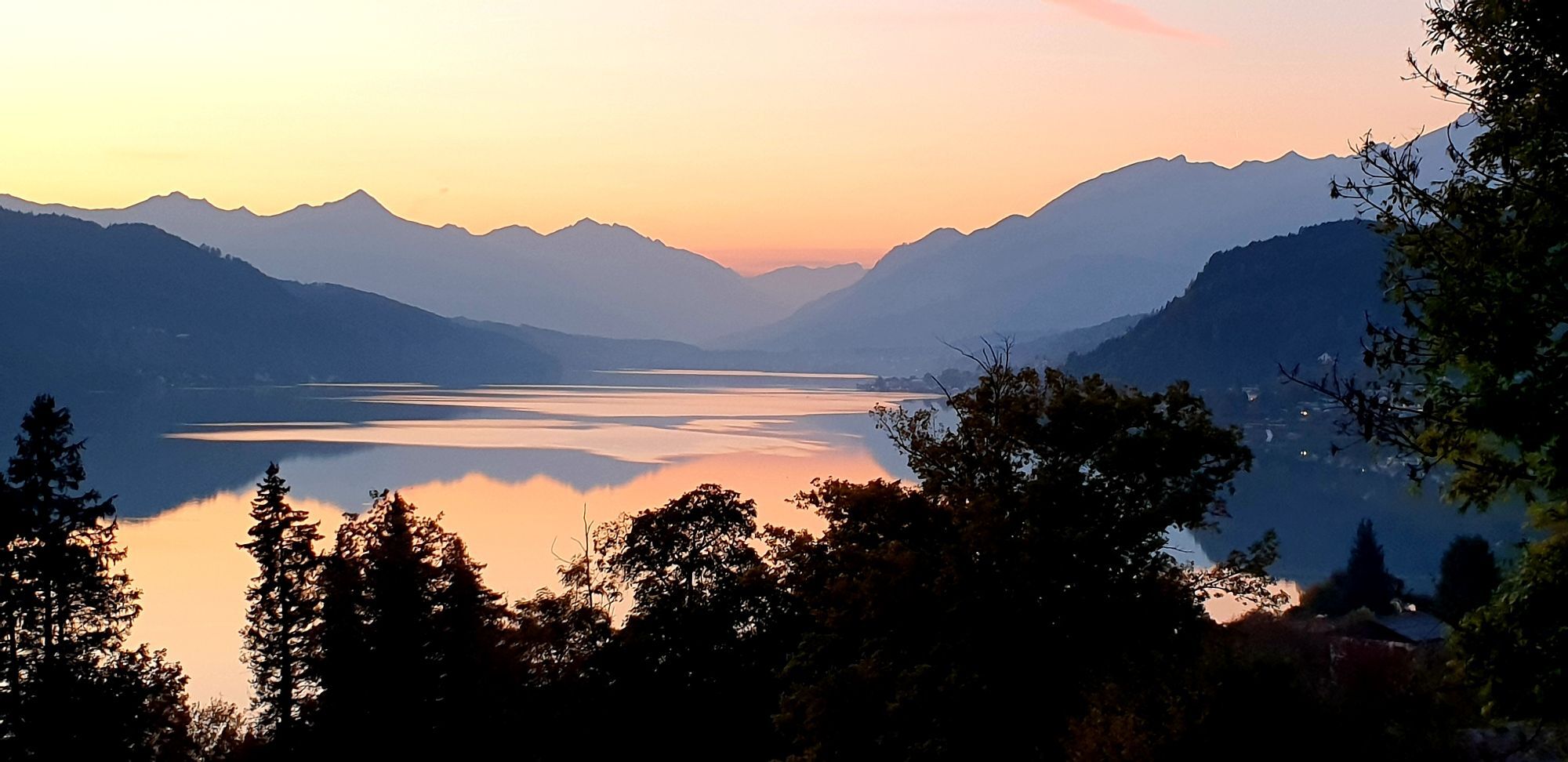
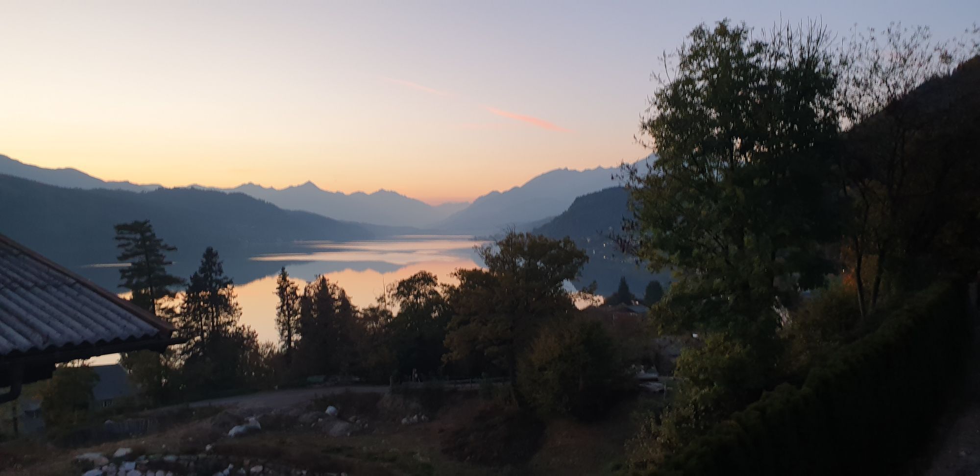
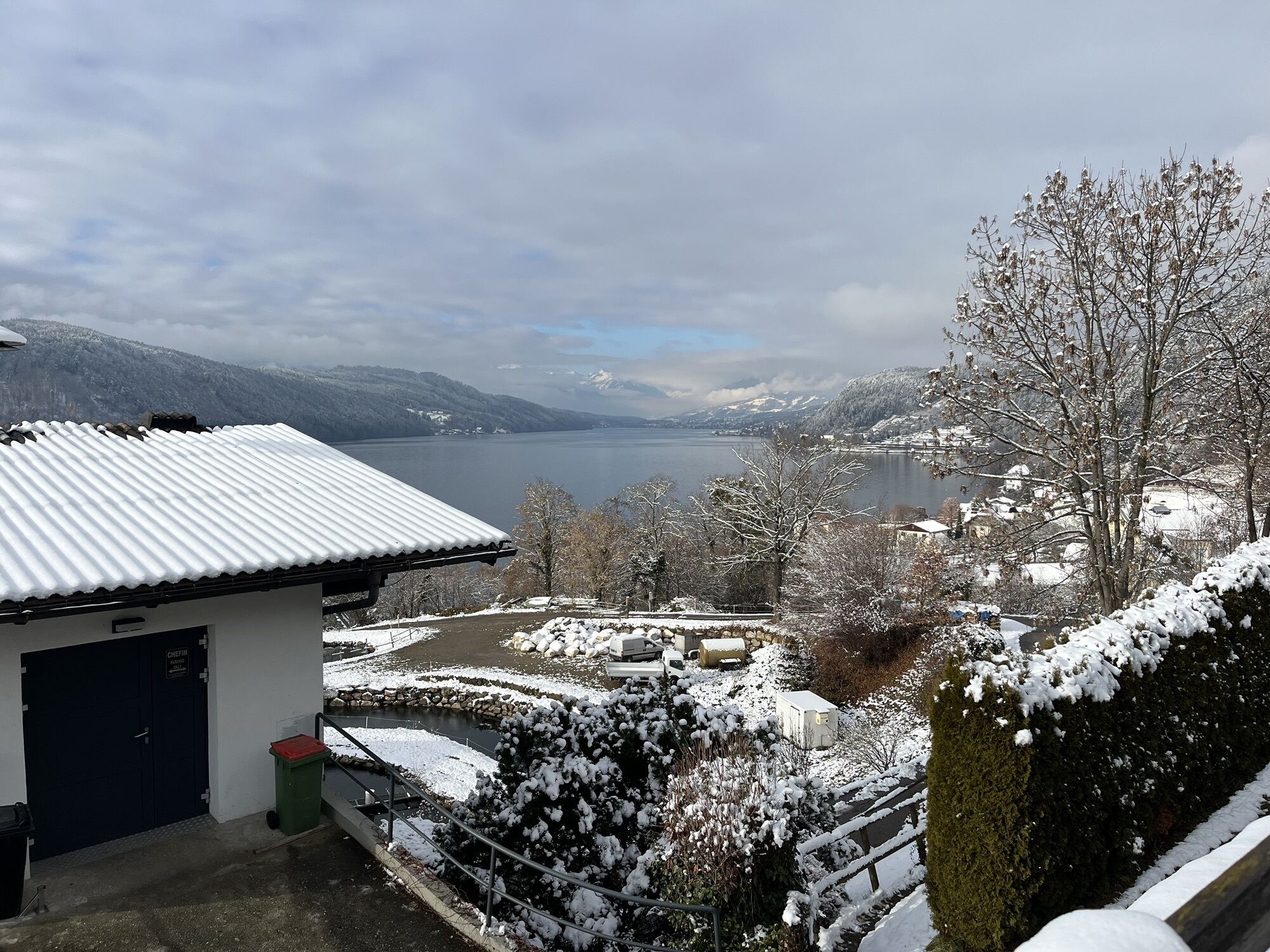
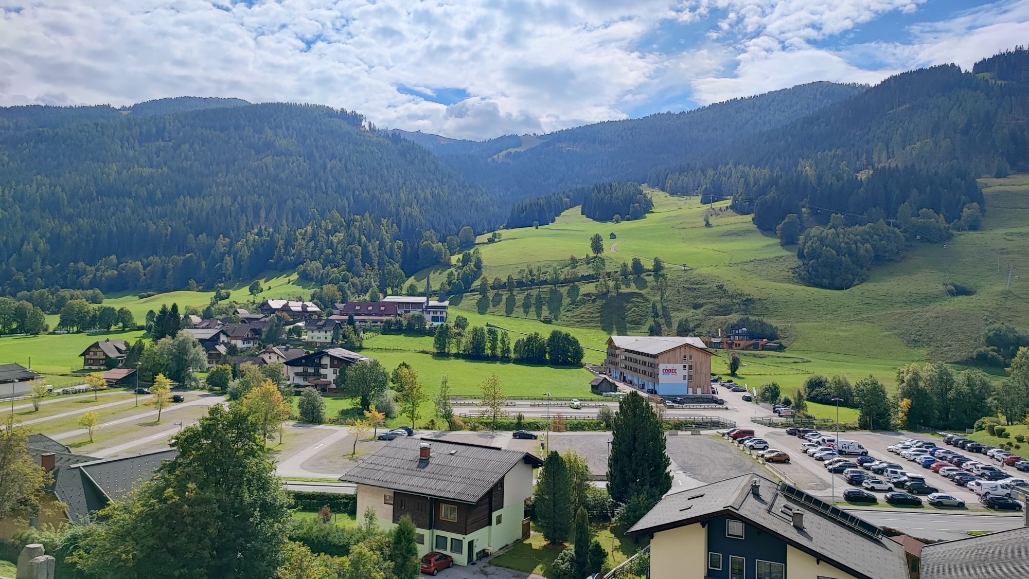


Through the Drau Valley we first reach Greifenburg and then Spittal. A little later you are already cruising along Lake Millstätter See. This can be done either directly along the lake or on the beautiful...
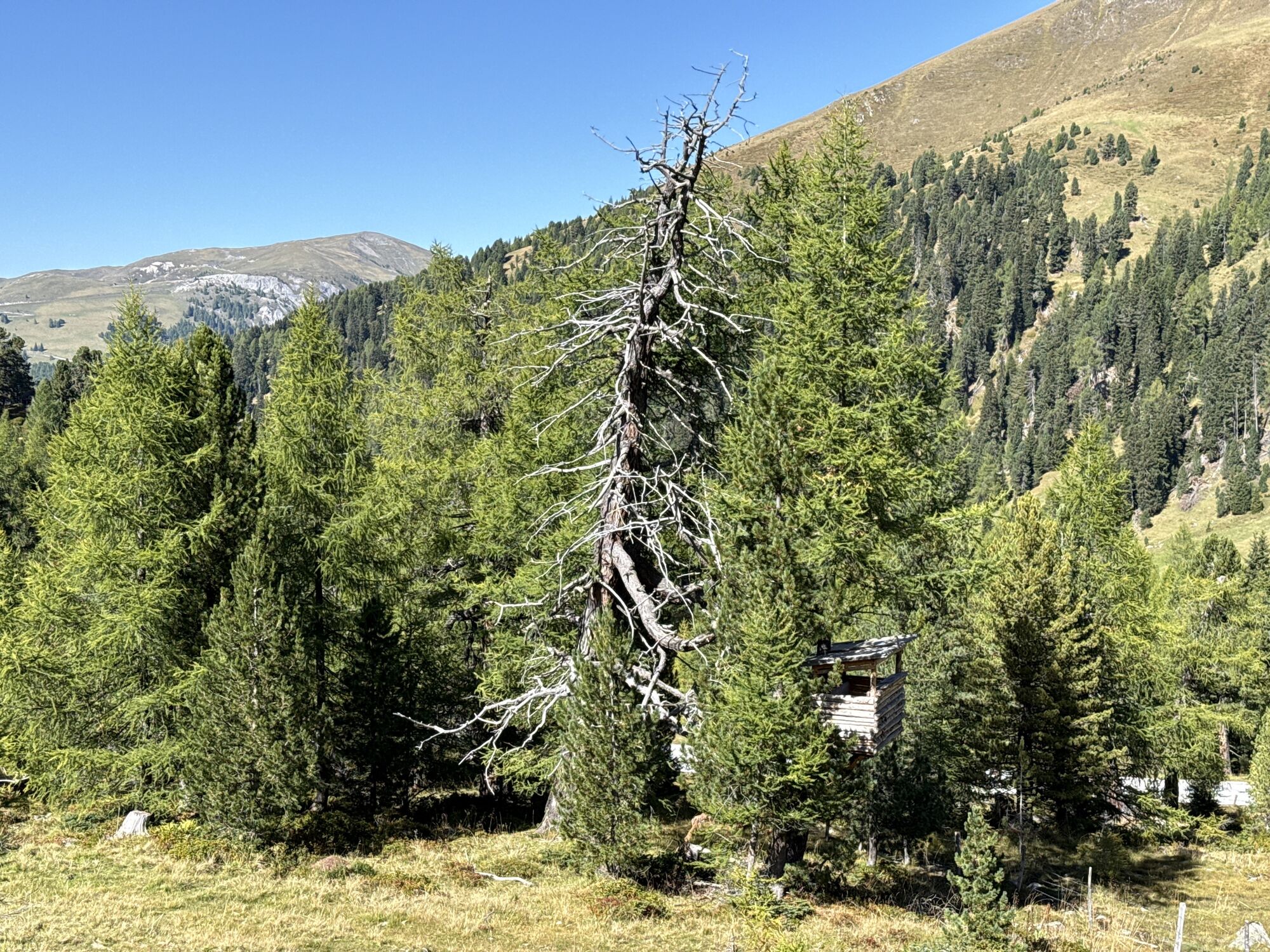
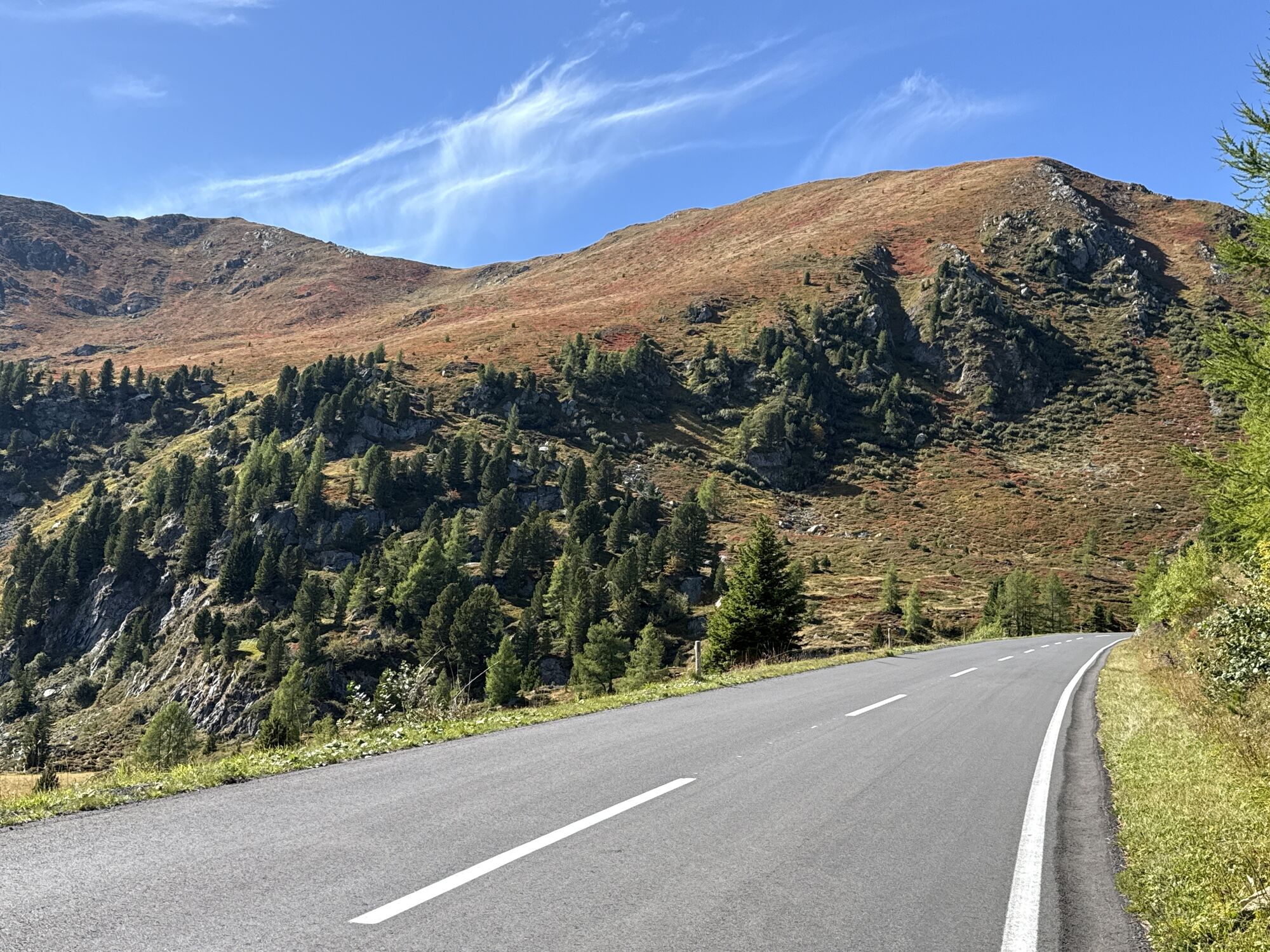
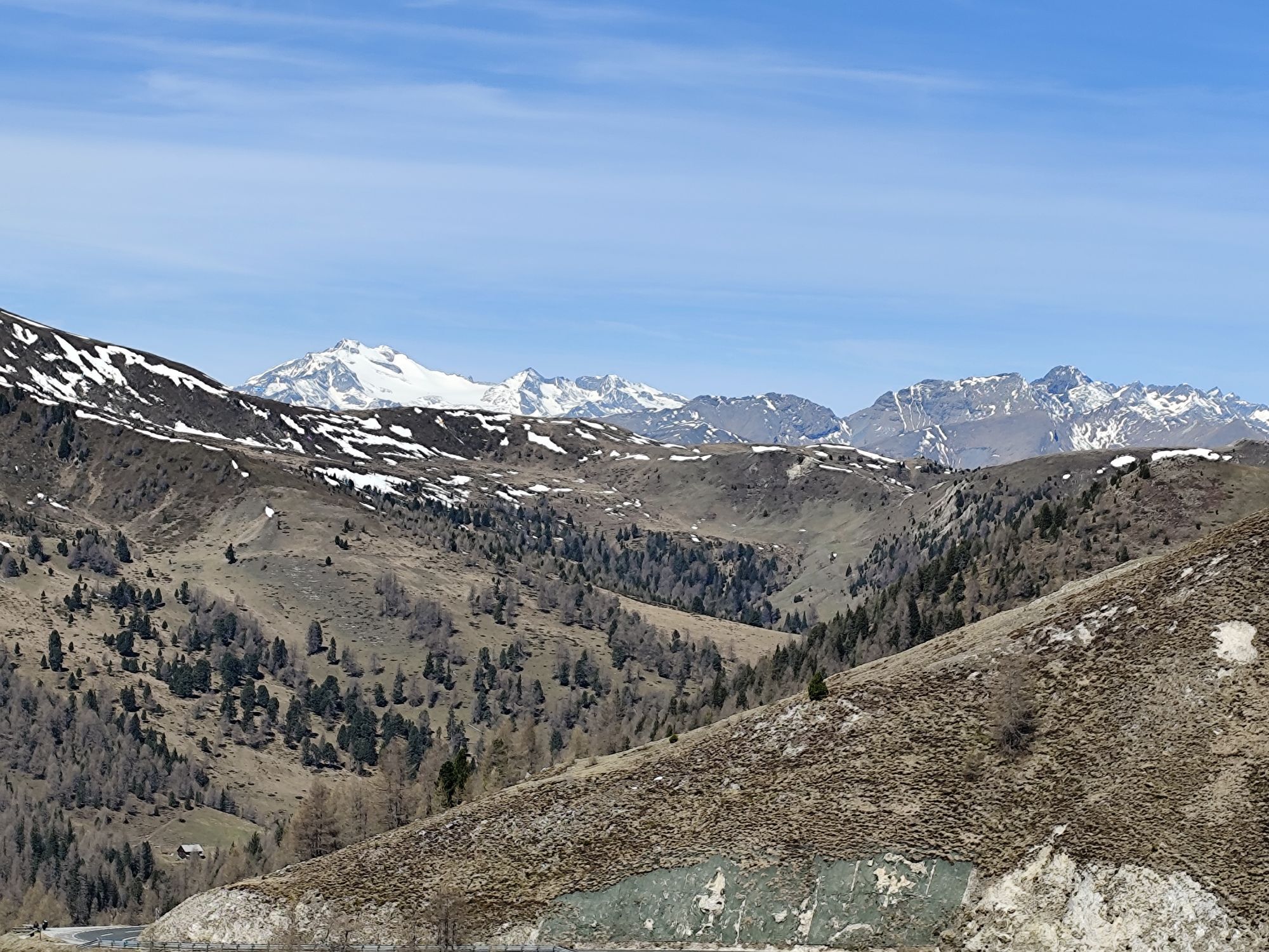
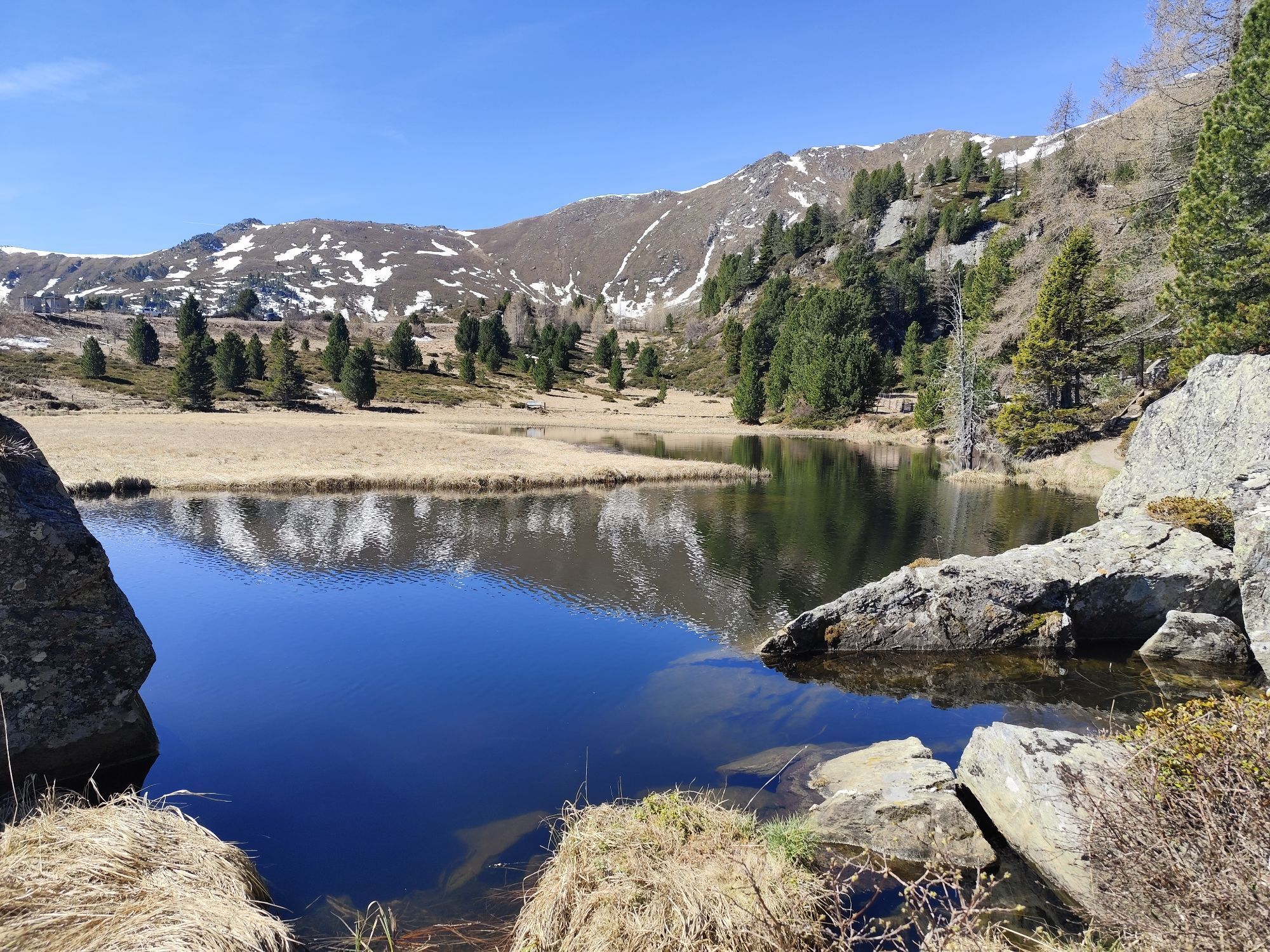
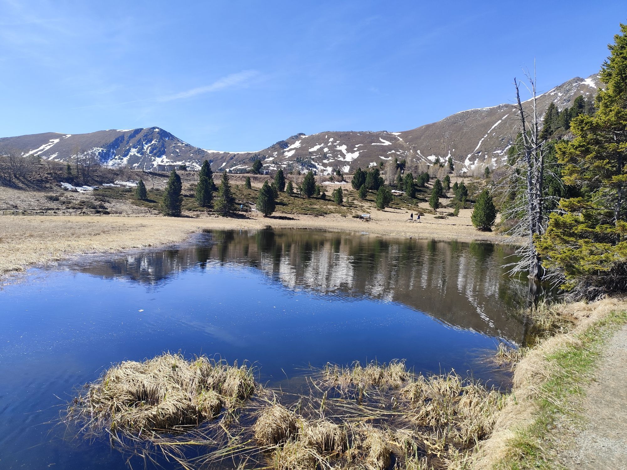
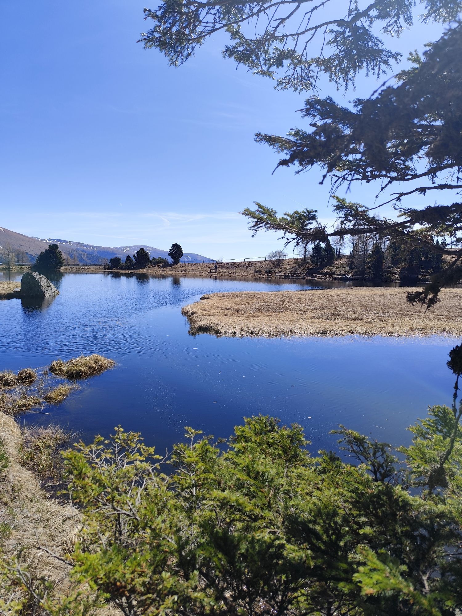
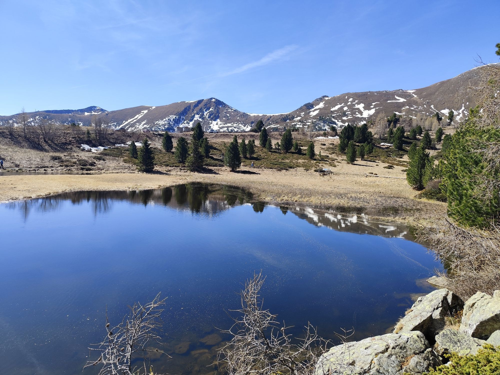
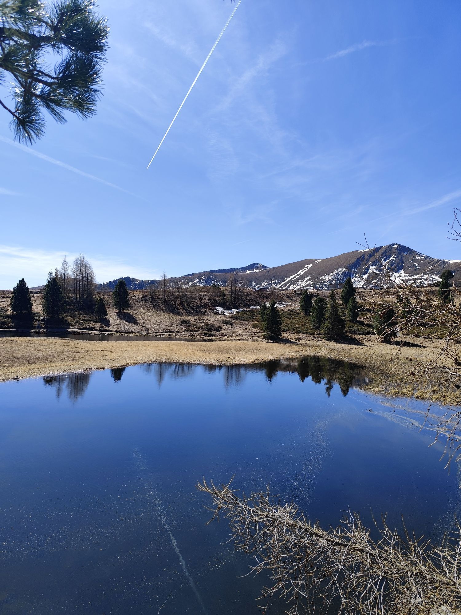
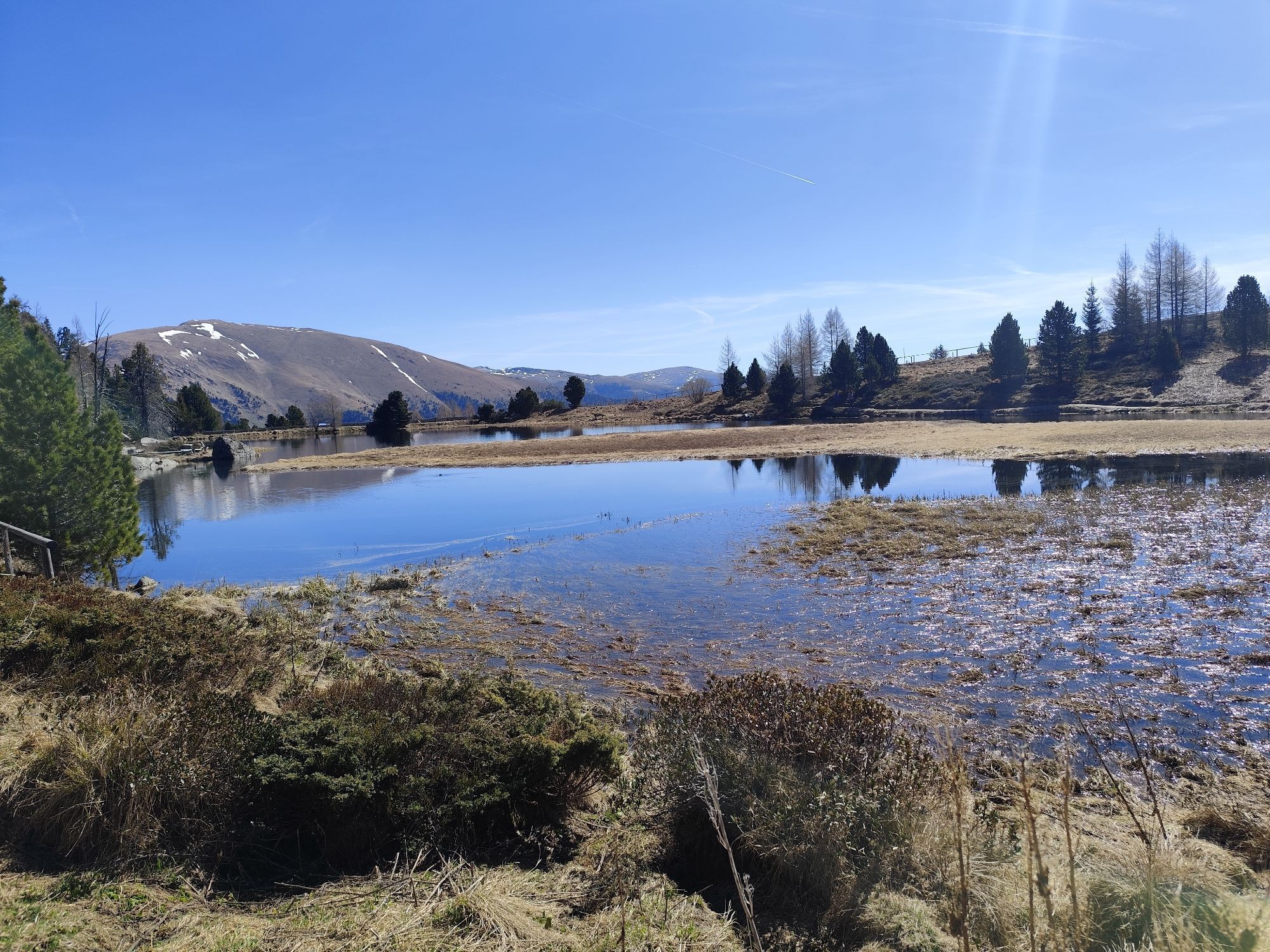
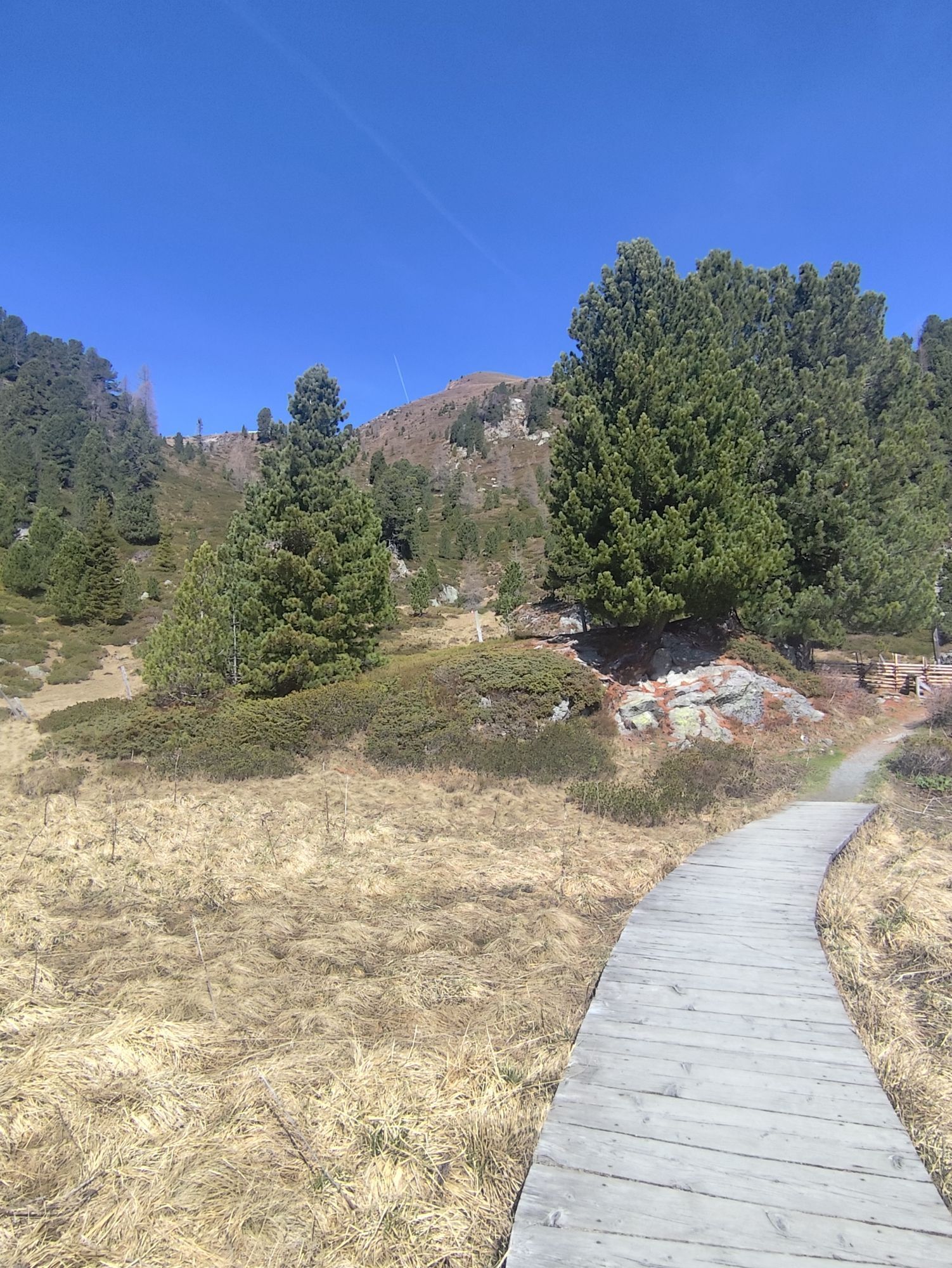
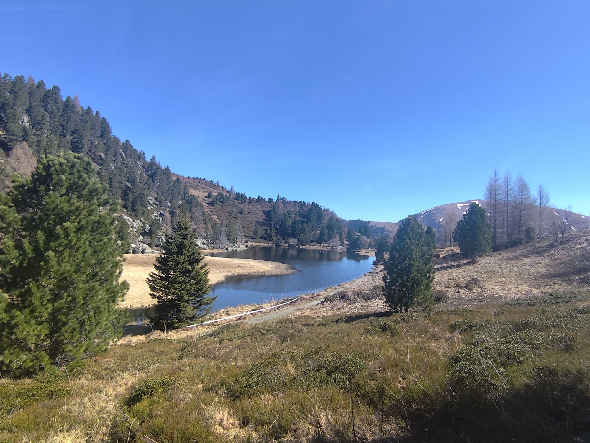
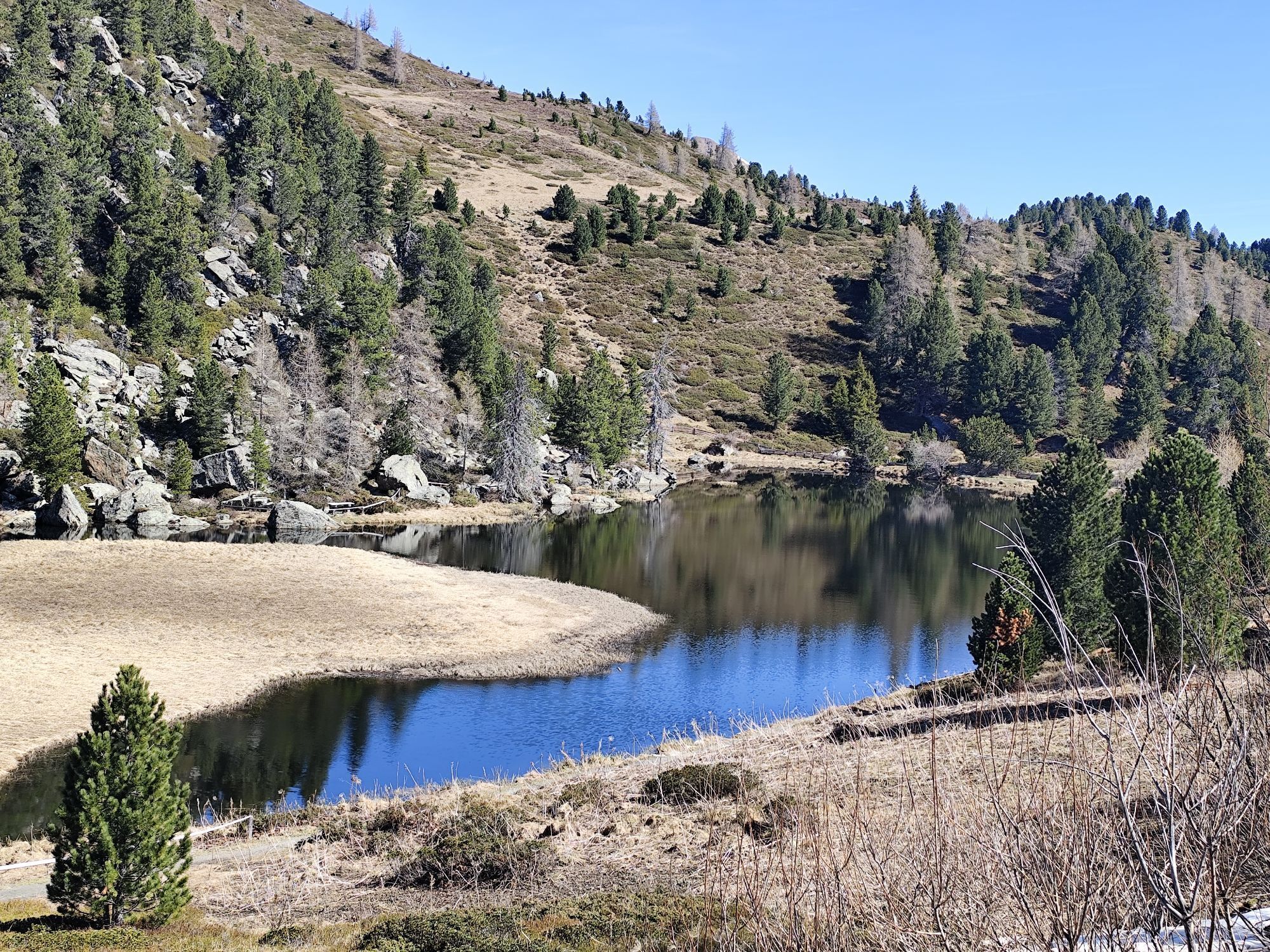
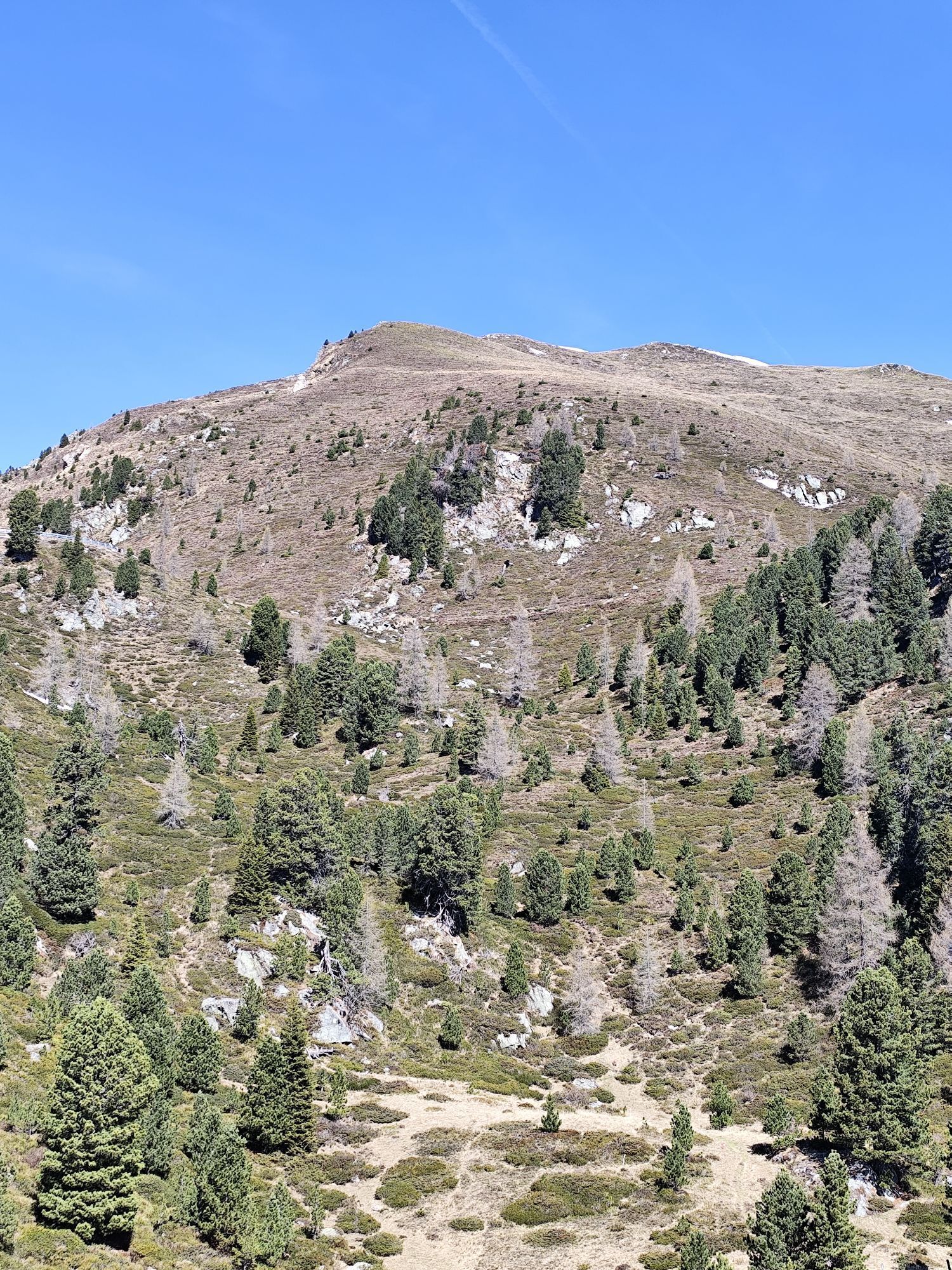
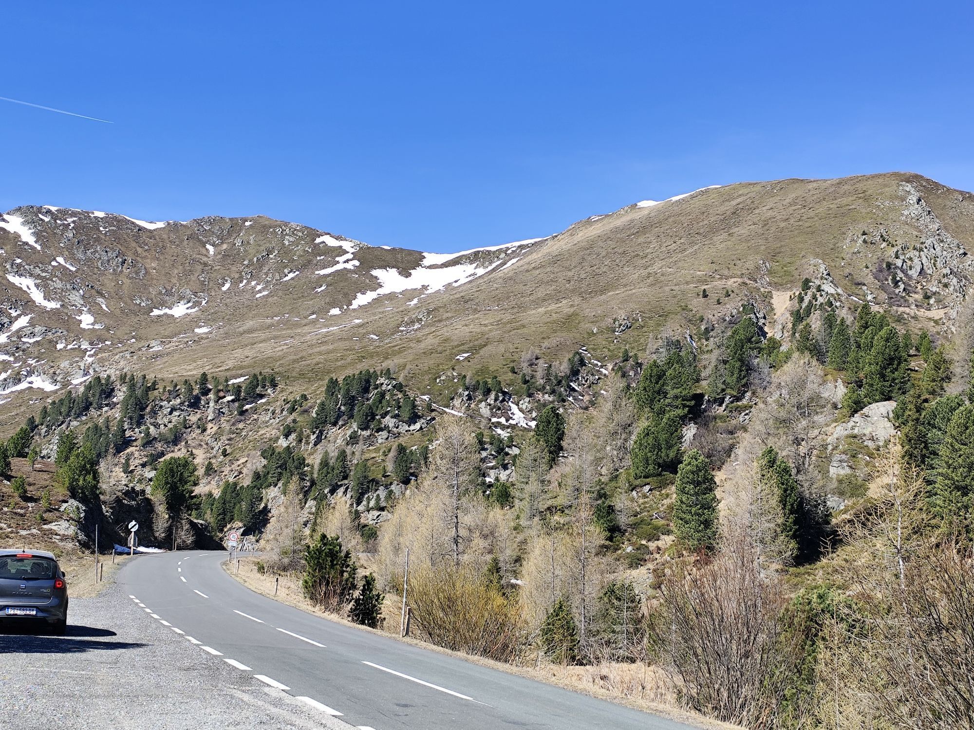
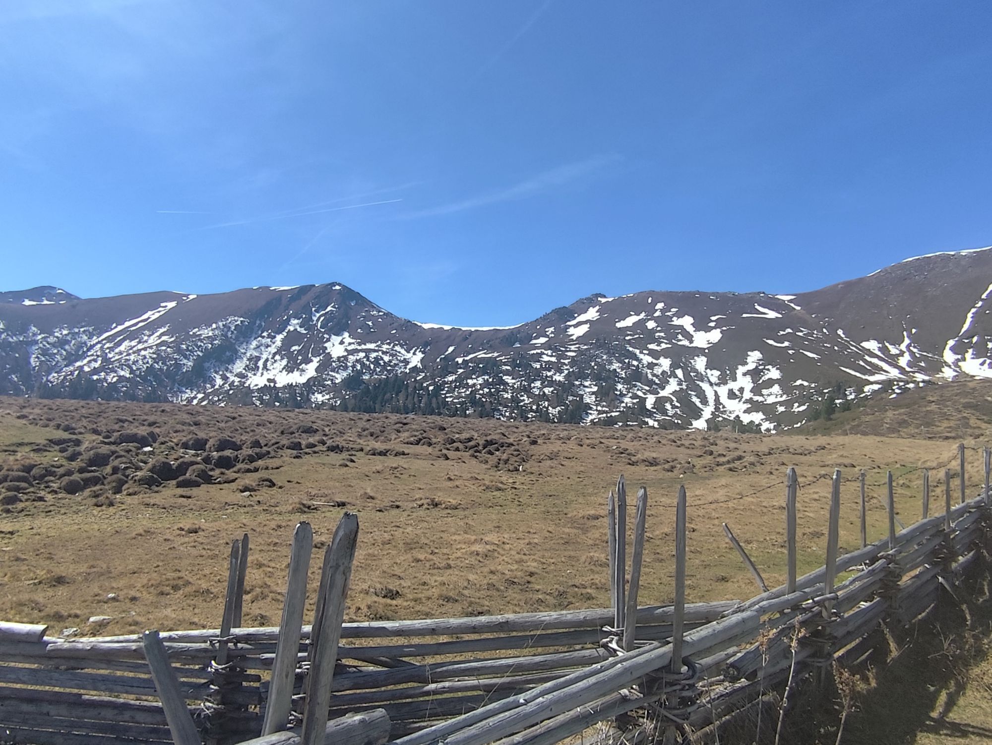
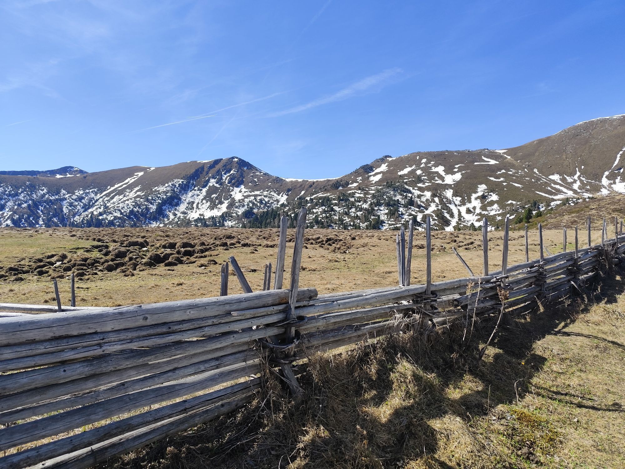
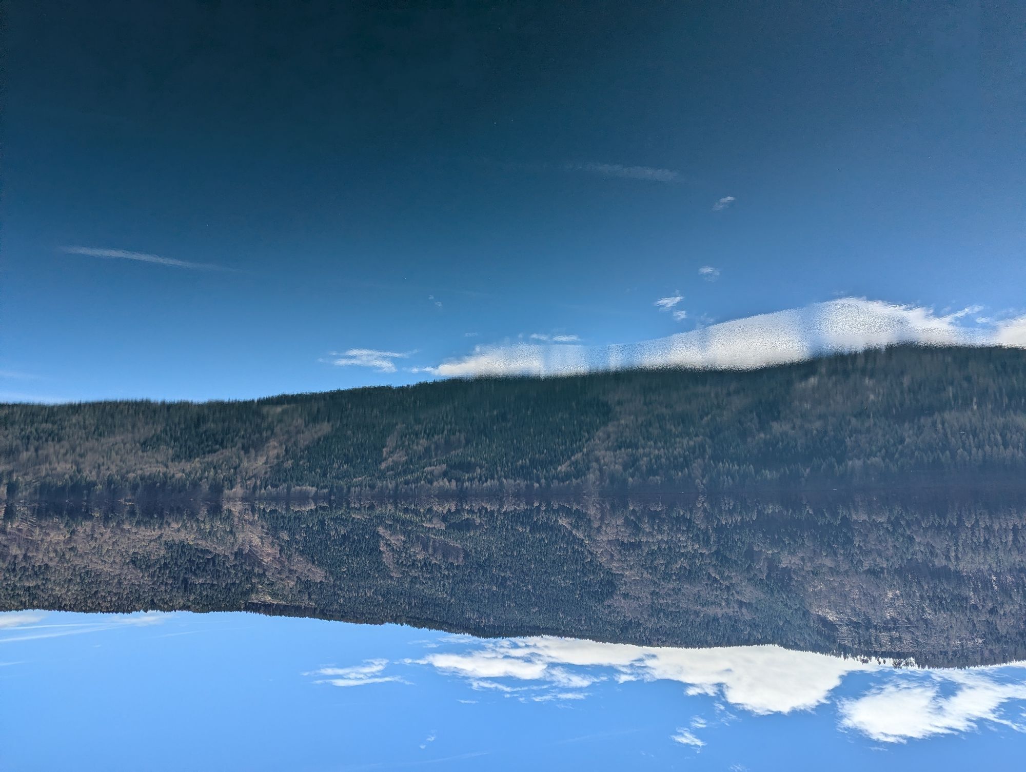
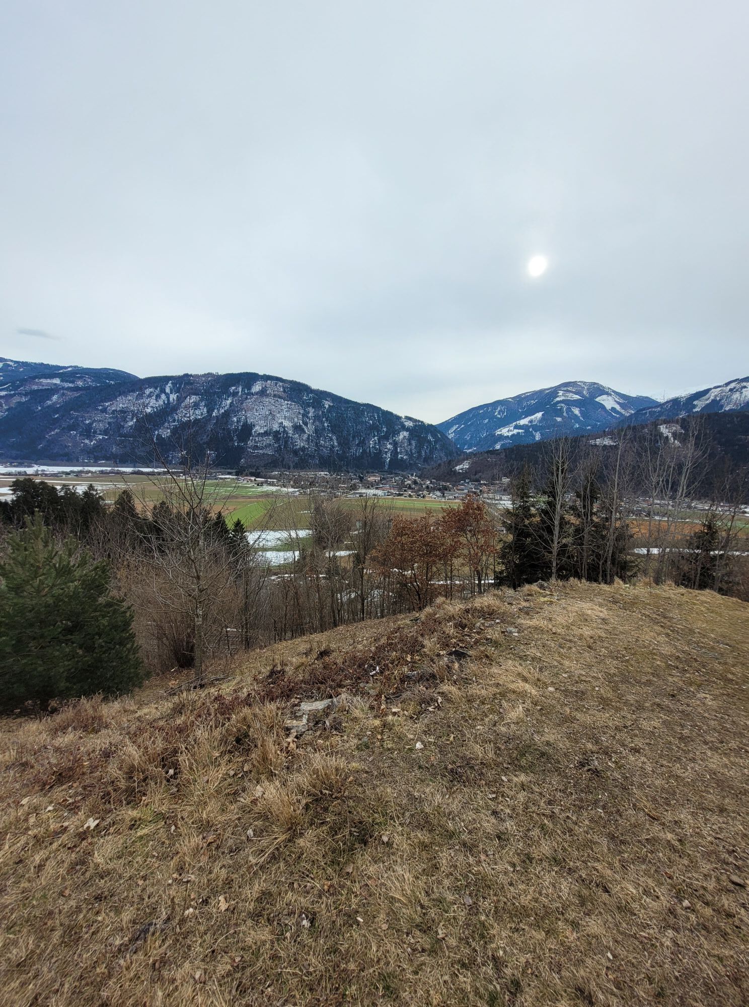
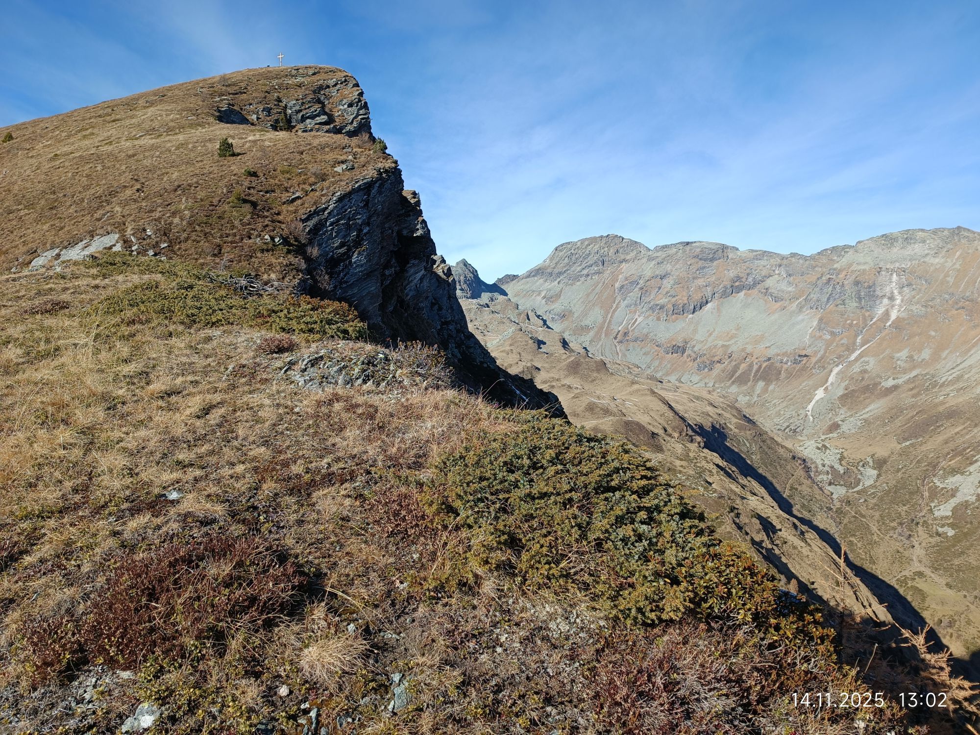
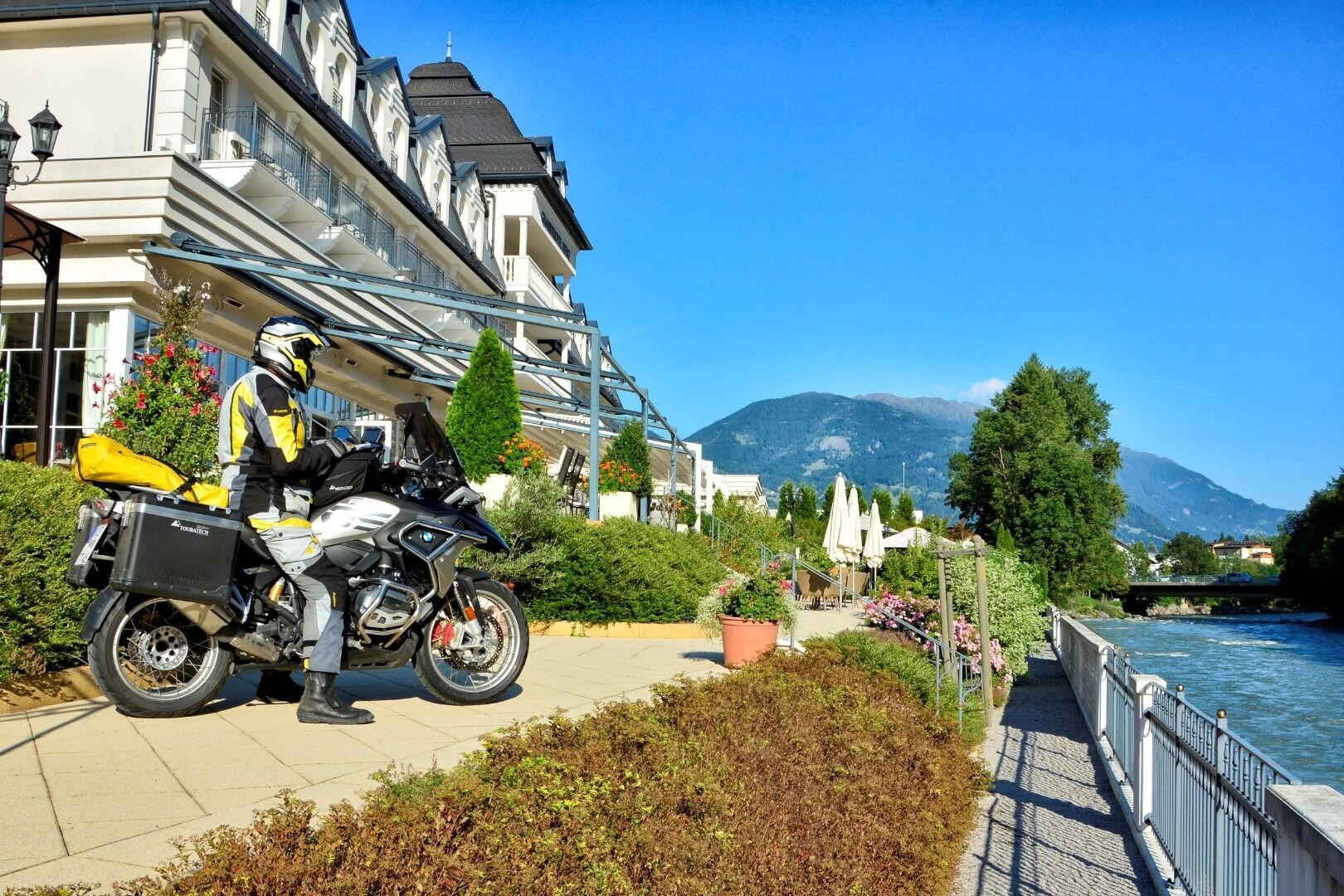
Through the Drau Valley we first reach Greifenburg and then Spittal. A little later you are already cruising along Lake Millstätter See. This can be done either directly along the lake or on the beautiful high road through Obermillstatt and then down to Dellach. From here we now head for the Nockalm Road, which with its 34 kilometres and 52 hairpin bends makes every motorcyclist's heart beat faster. Great panoramic views, inviting snack stations and information stands that reveal a lot of interesting facts about the Nockberge Biosphere Park are recommended for stops along the way.
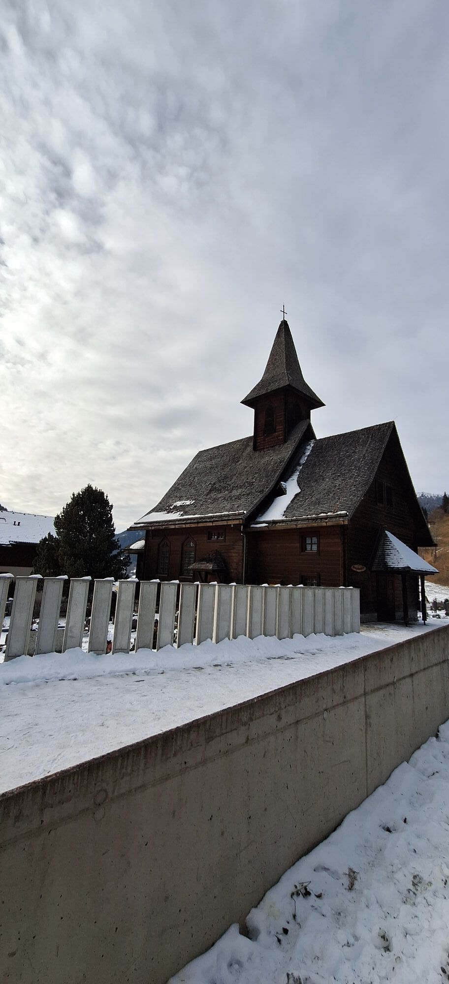
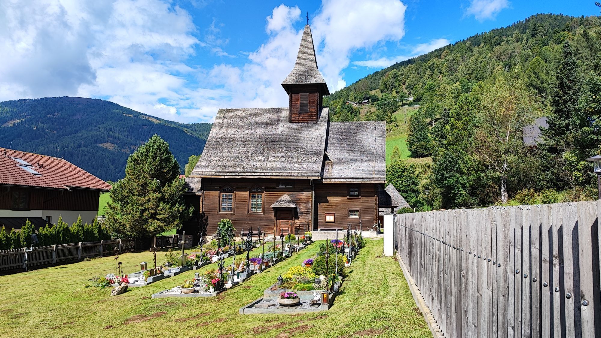
On the way back to Osttirol, the Malta Hochalmstraße invites you to visit the Kölnbreinsperre. Standing at 1,930 m above sea level, the structure is Austria's highest dam, with a height of 200 metres. Back from the Maltatalabstecher, a short visit to the artist town of Gmünd should be planned. This should definitely include a visit to the Porsche Museum Helmut Pfeifhofer.
Webcams de la tournée
-
Embergeralm - Almgasthof Fichtenheim
-
Embergeralm - Almgasthof Fichtenheim
-
Zettersfeld /Obergaimberg
-
Kornockbahn Bergstation
-
Hauptschule Gmünd
-
Weissensee
-
Lienz/Zettersfeld
-
Sport Schiffer - Innerkrems
-
Lienz Hauptplatz
-
Tristachersee
-
Ferndorf / Alpengasthof Bergfried
-
Strohsack
-
Bad Kleinkirchheim - Brunnach
-
Amlach - Naturrodelbahn Lienzer - Dolomiten
-
Sonnlift - Heidi Alm Bergresort Falkert
-
Turracherhöhe/Hirschkogel
-
Dellach im Drautal
-
Turracherhöhe - Panoramabahn
-
Bad Kleinkirchheim - Spitzeck
-
Bad Kleinkirchheim - Kaiserburg
-
Bad Kleinkirchheim
-
Greifenburg Badesee
-
Döbriach
-
Ederplan
-
BKK - Wiesernock
-
Bergbahnen Turracher Höhe
-
Bergbahnen Turracher Höhe
-
Bergbahnen Turracher Höhe
-
Bergbahnen Turracher Höhe
-
Bergbahnen Turracher Höhe
-
Weissensee Schifffahrt
-
Marktgemeinde Oberdrauburg
-
Rad und Frühstückspension Taurer
-
Lienz Faschingalm
-
Seeblickweg
-
Millstatt am See
-
Zettersfeld - Bergstation Steinermandl
-
Falkert Nord
-
Heidi-Hotel
-
BKK - Country Trail
Parcours populaires à proximité
-
4,9
W10 - Grand parcours du lac - Weissensee
difficileVTT 31,5 km -
5,0
Bella Vista auf Hohe Leier
moyenVia ferrata 15,6 km -
4,8
Parkplatz Seetal - STAFF und retour
moyenRandonnée 13,2 km -
4,0
Gorge de Barbarossa près de Mühldorf/Mölltal
facileRandonnée 2,74 km -
4,6
W5 - Circuit Naggler Alm Weissensee
moyenVTT 15,8 km -
4,4
Tschiernock, Hochpalfennock, Tschierwegernock, nock nock nock ... ;)
facileRandonnée 10,4 km -
4,9
Weissensee Ost- nach Westufer
facileRandonnée 10,2 km -
5,0
Bodenalm - Ostufer - mit dem Schiff zurück
VTT 19,1 km -
4,5
WY_W2 randonnée vers l'alpage derrière le Brunn
moyenRandonnées d'hiver 3,04 km -
5,0
Bergfried Hütte, Stoder 2433, Gmeineck 2592
difficileRandonnée 8,23 km

Randonnée et suivi


Ne manquez pas les offres et l'inspiration pour vos prochaines vacances
Votre adresse électronique a été ajouté à la liste de diffusion.