







Trail Quickie up the Veitsberg
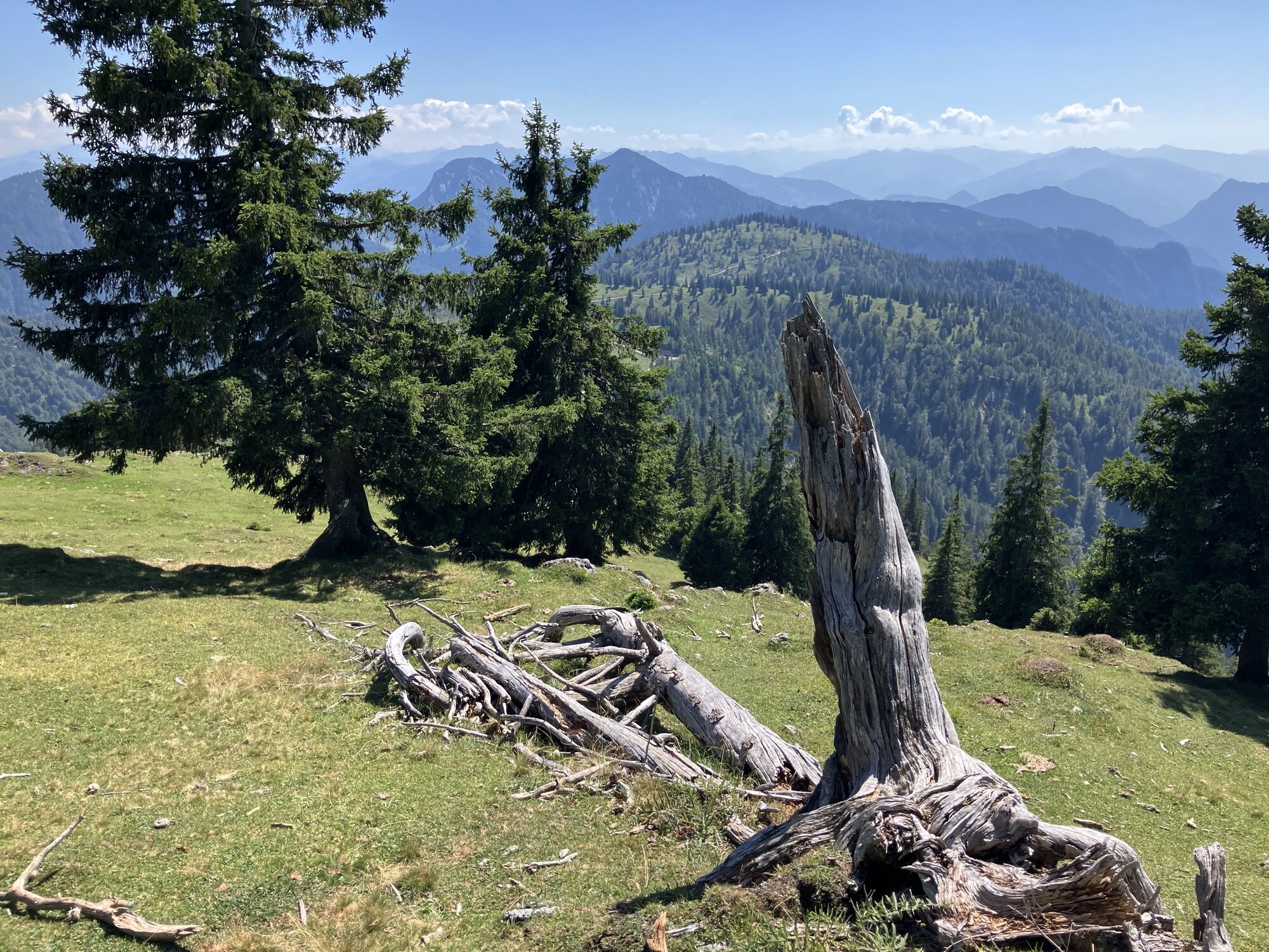
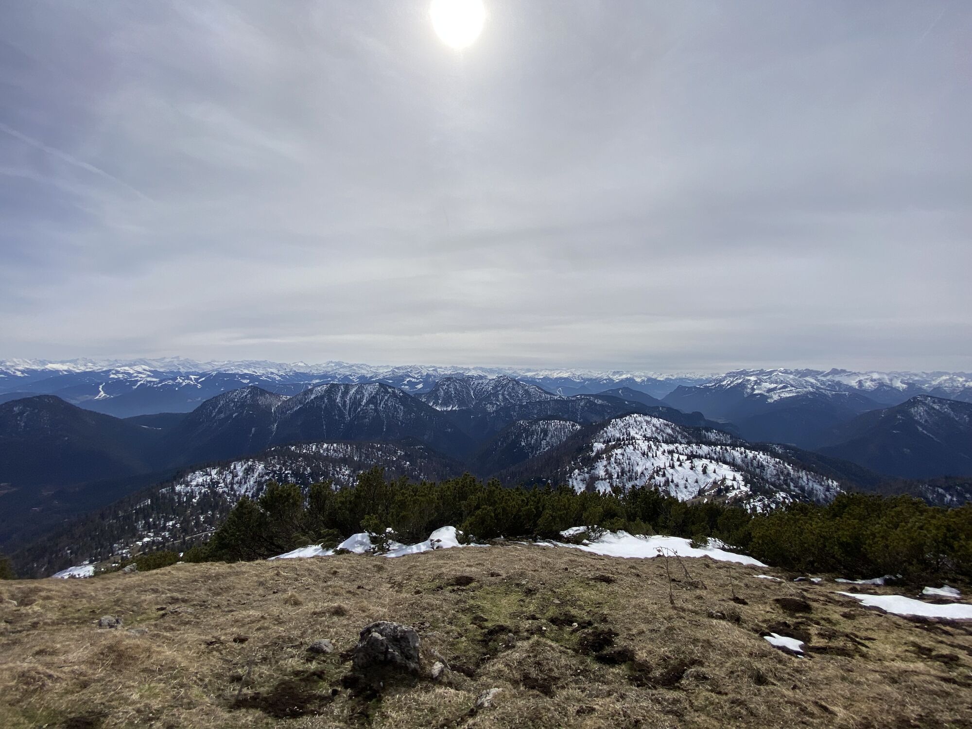
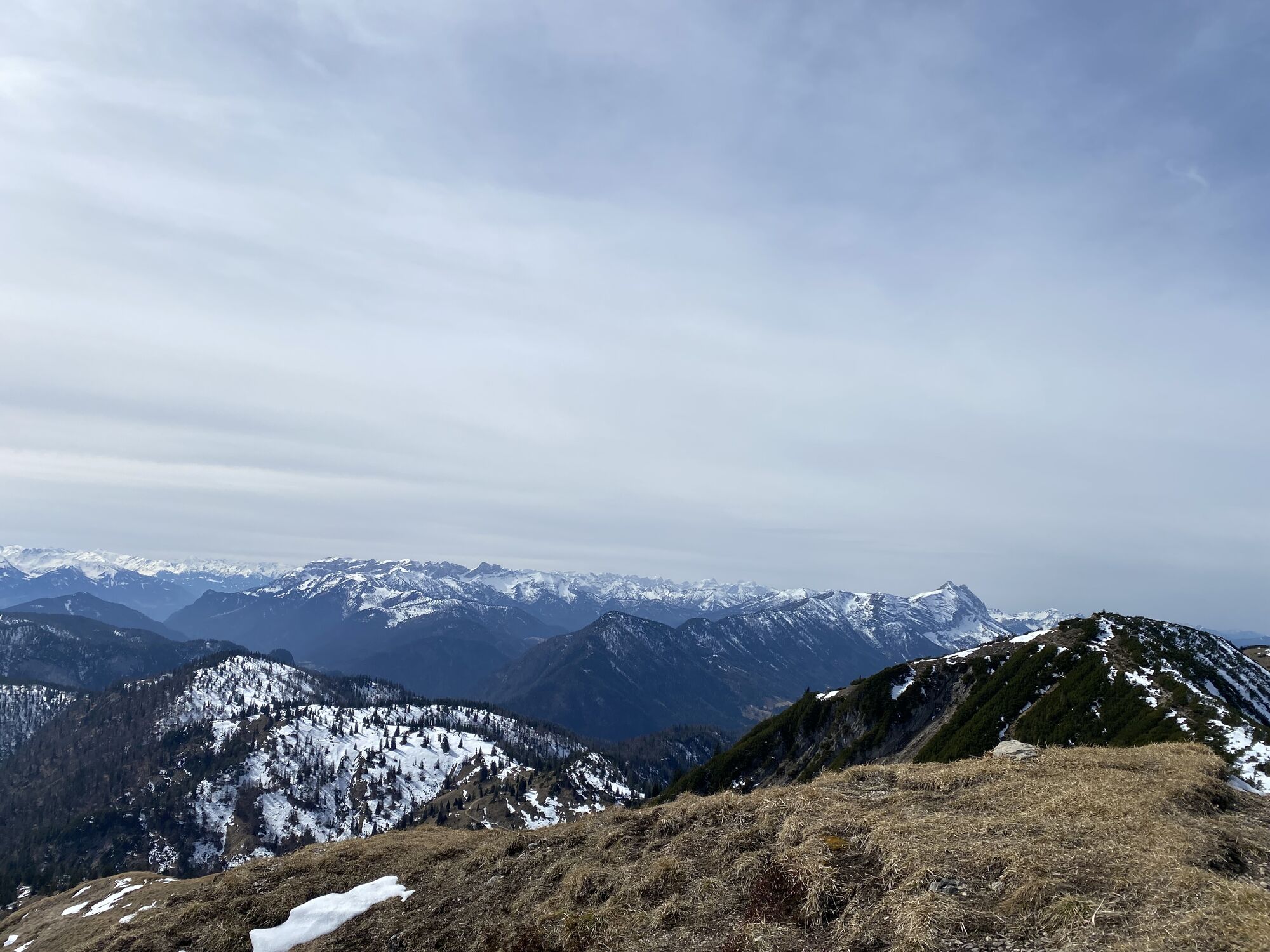
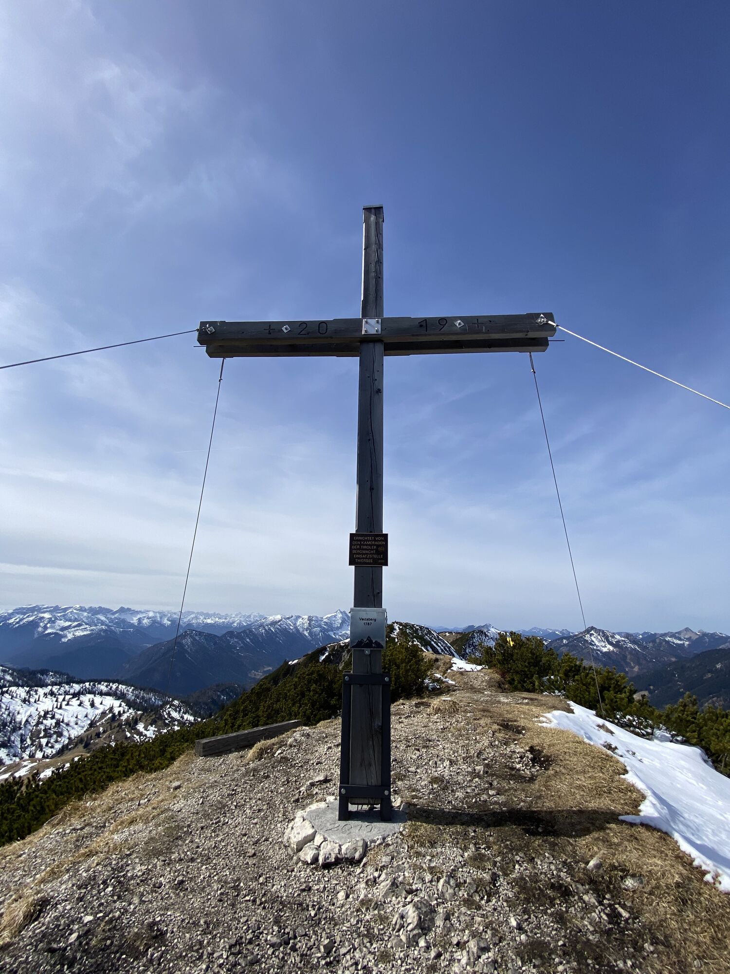
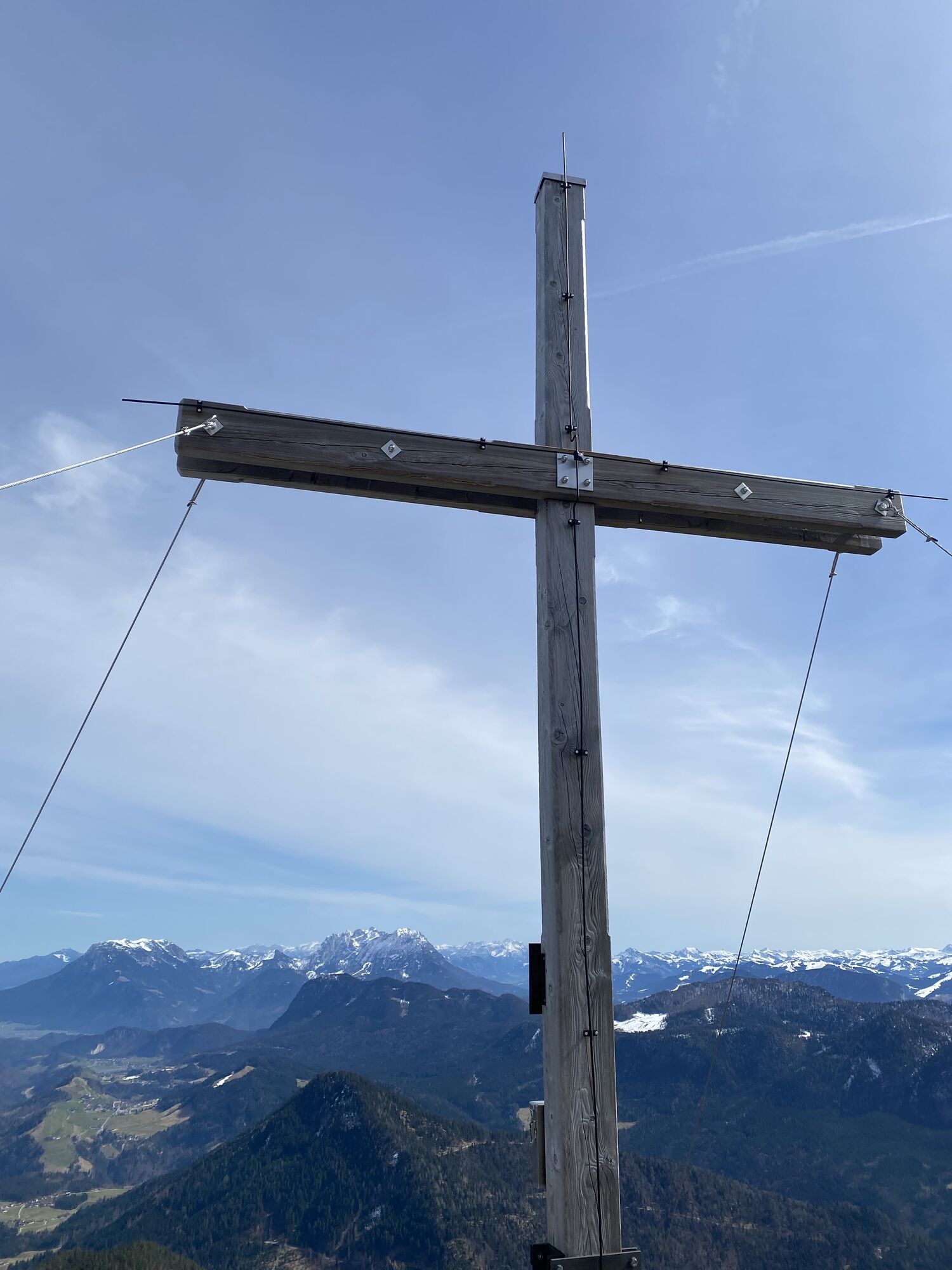
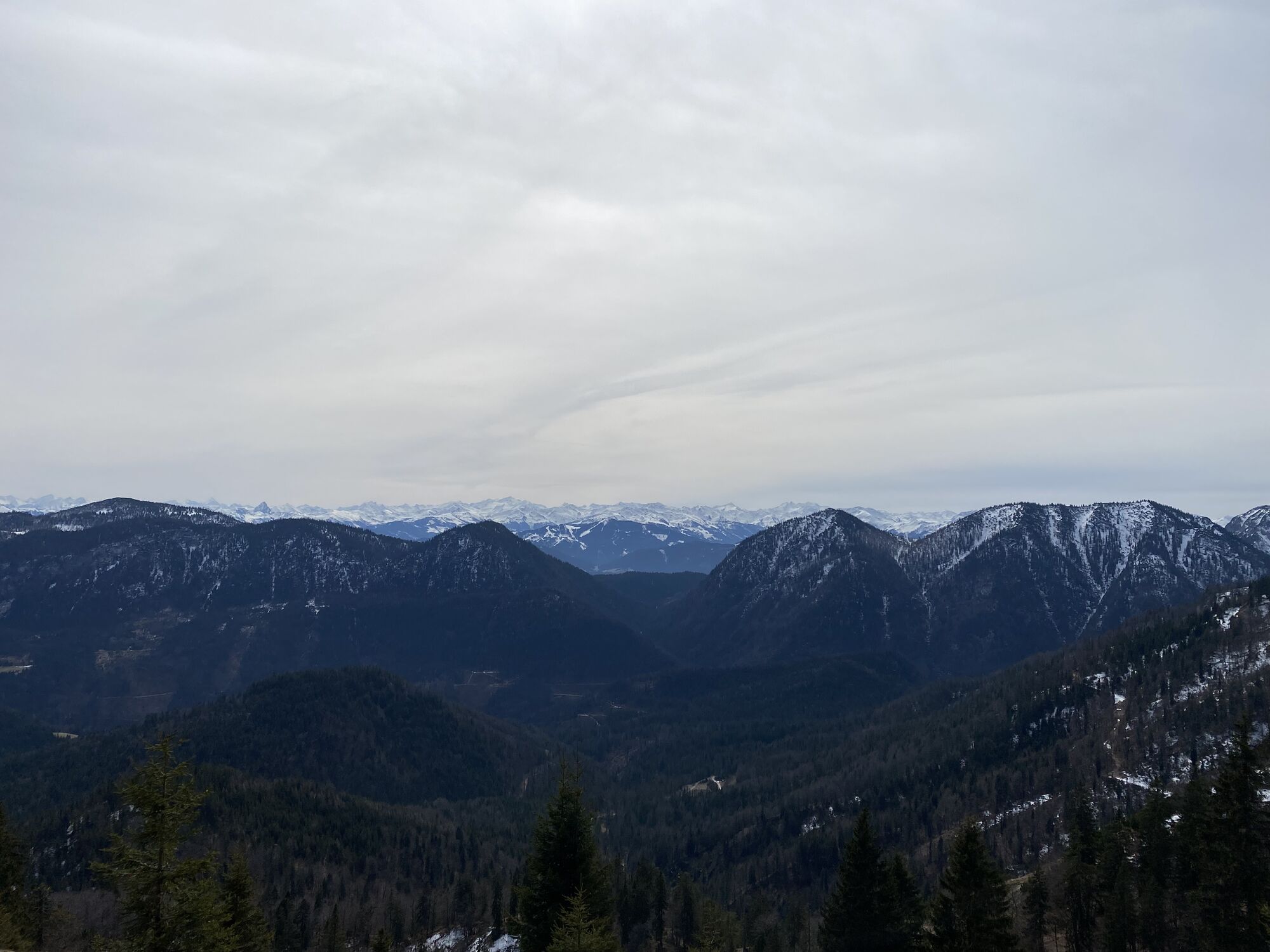
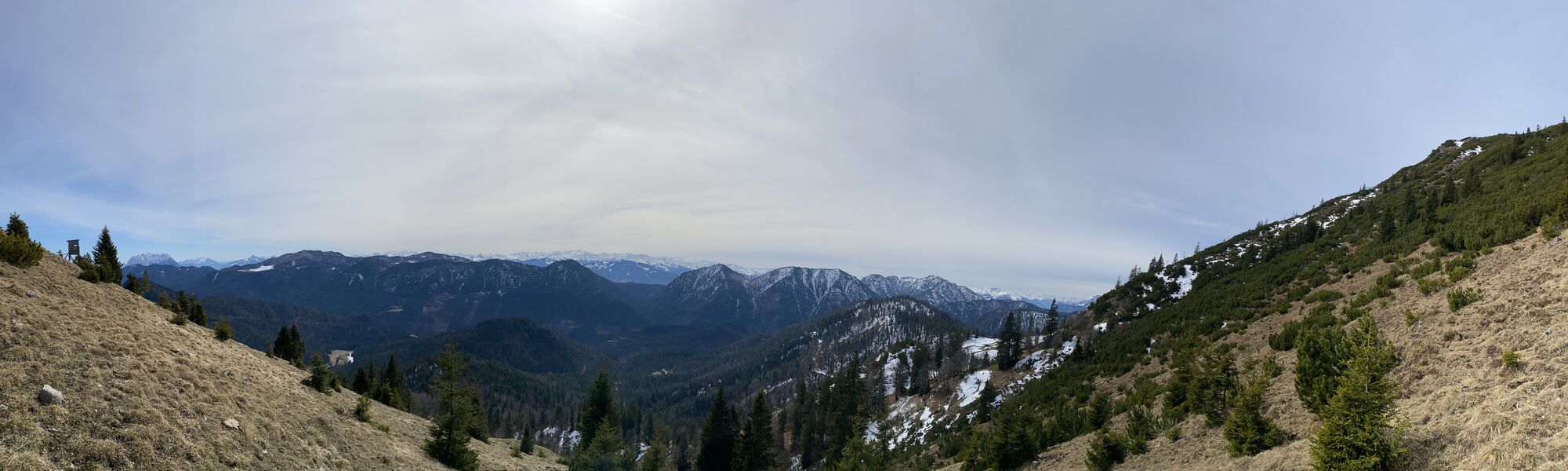
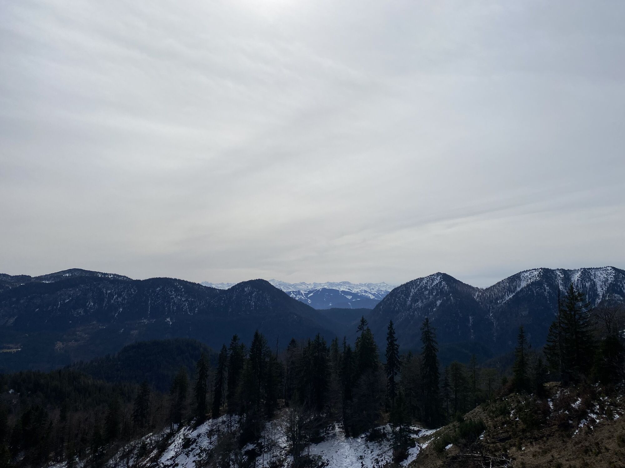
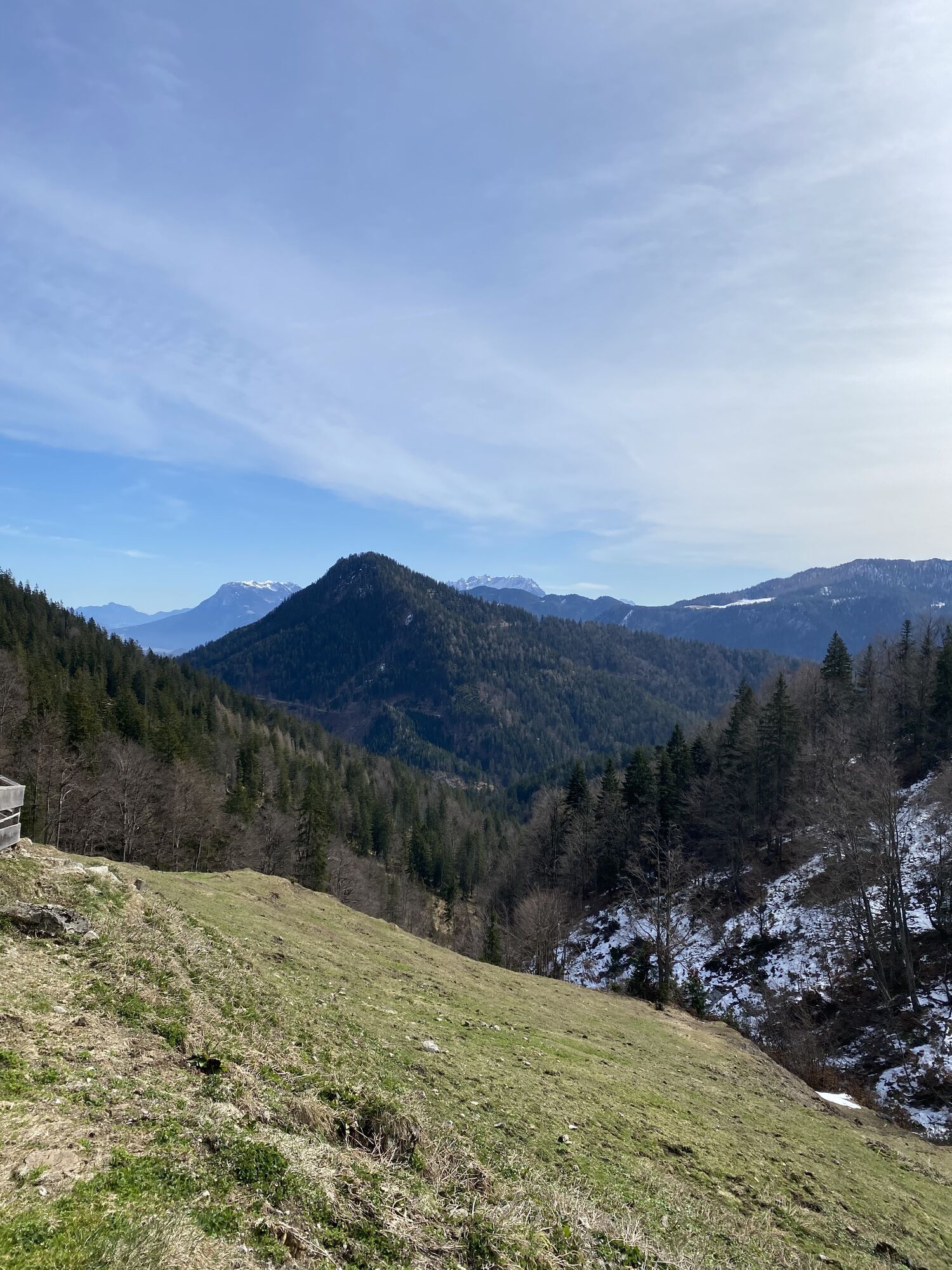
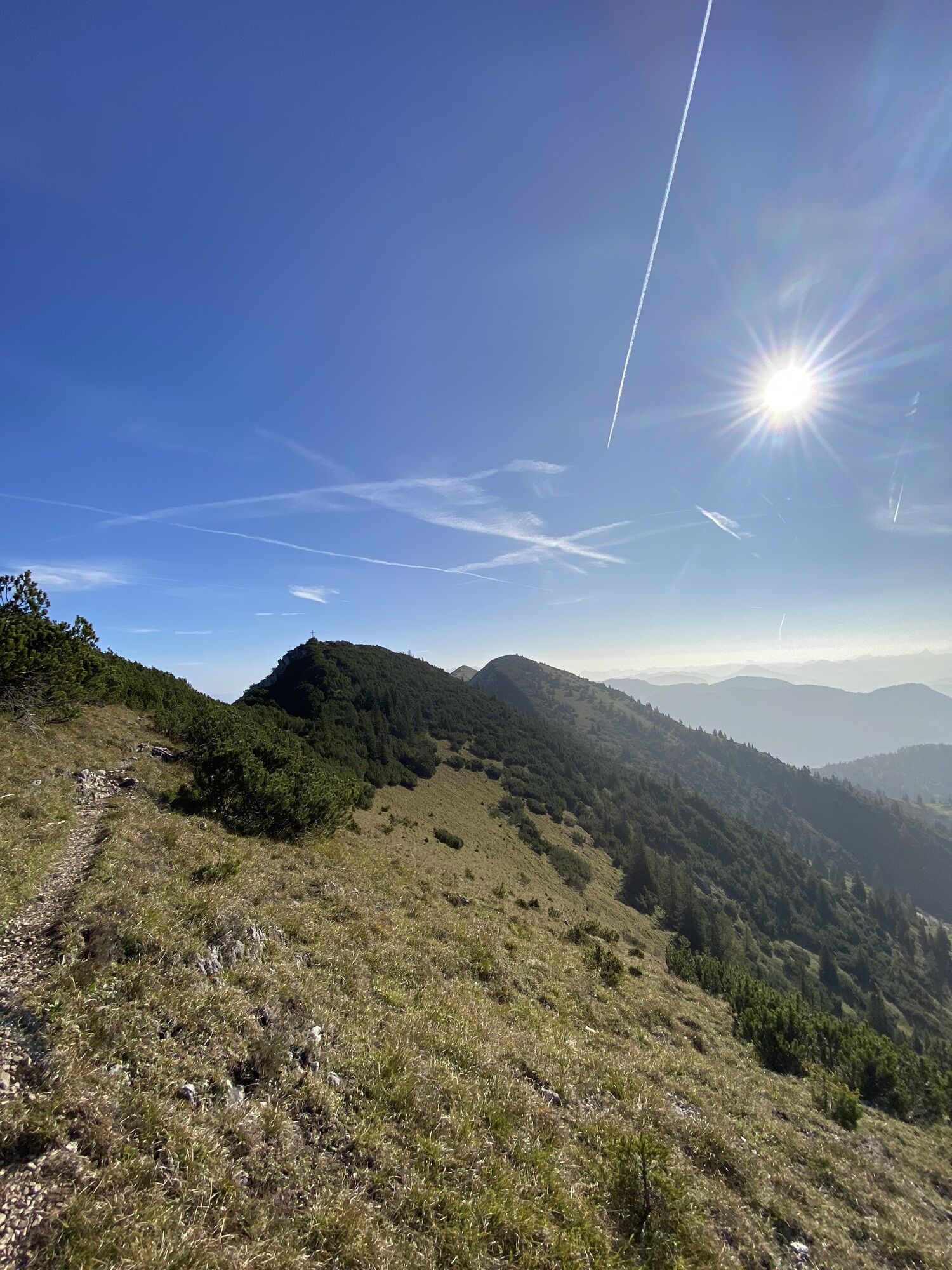
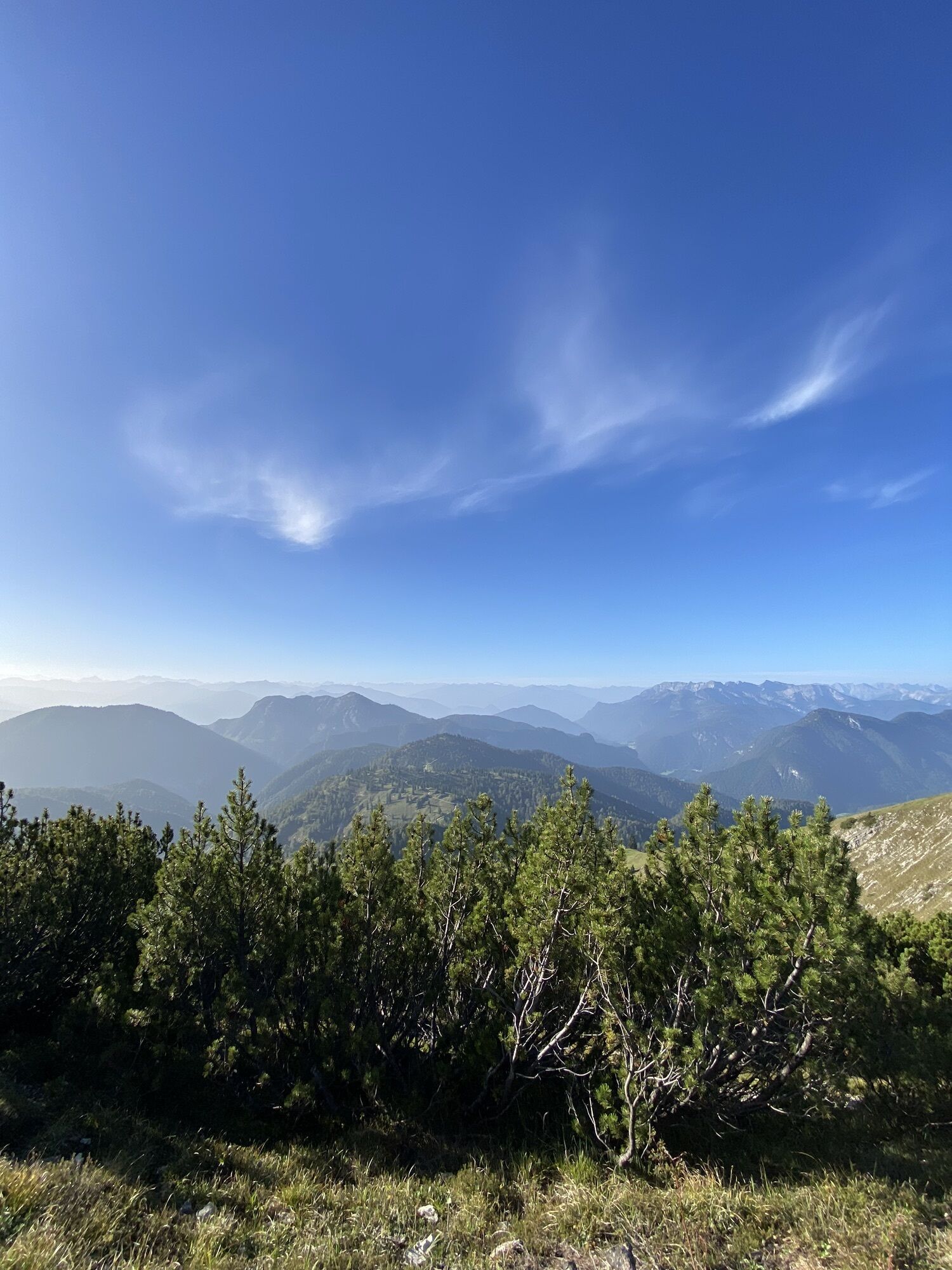
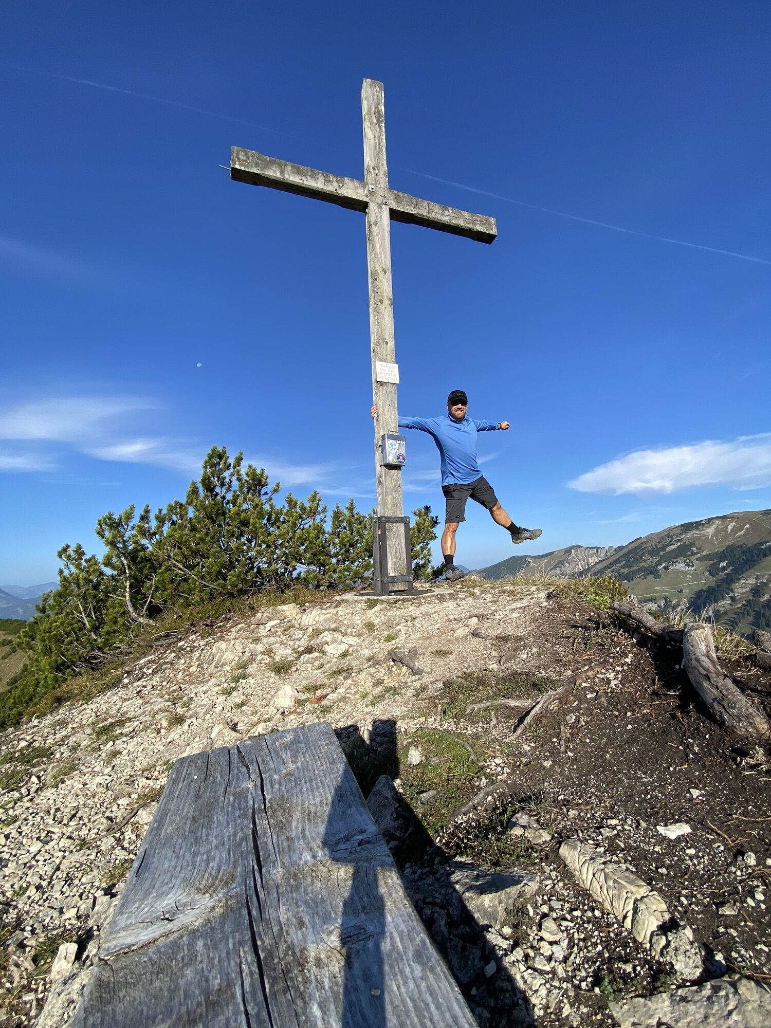
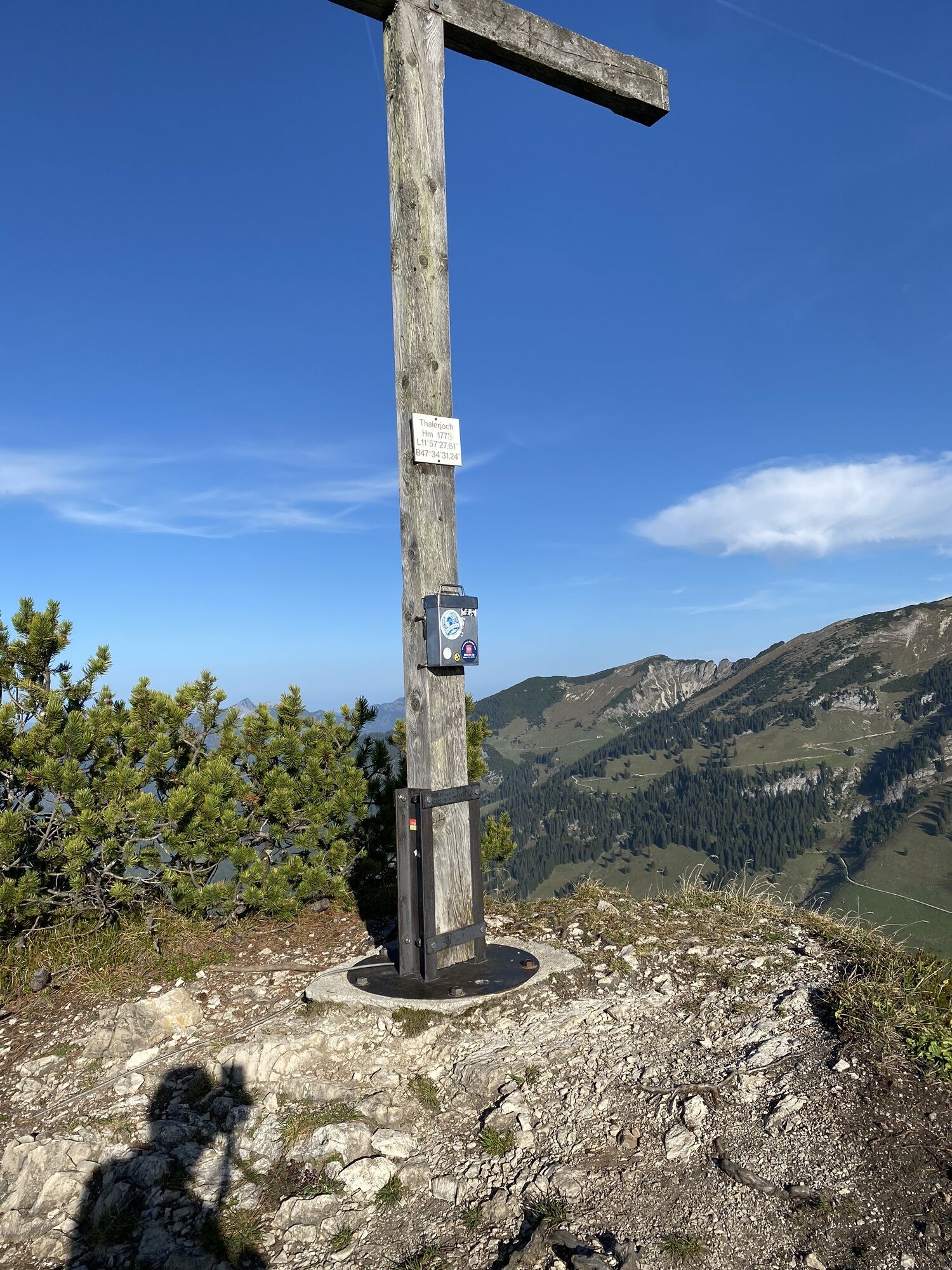
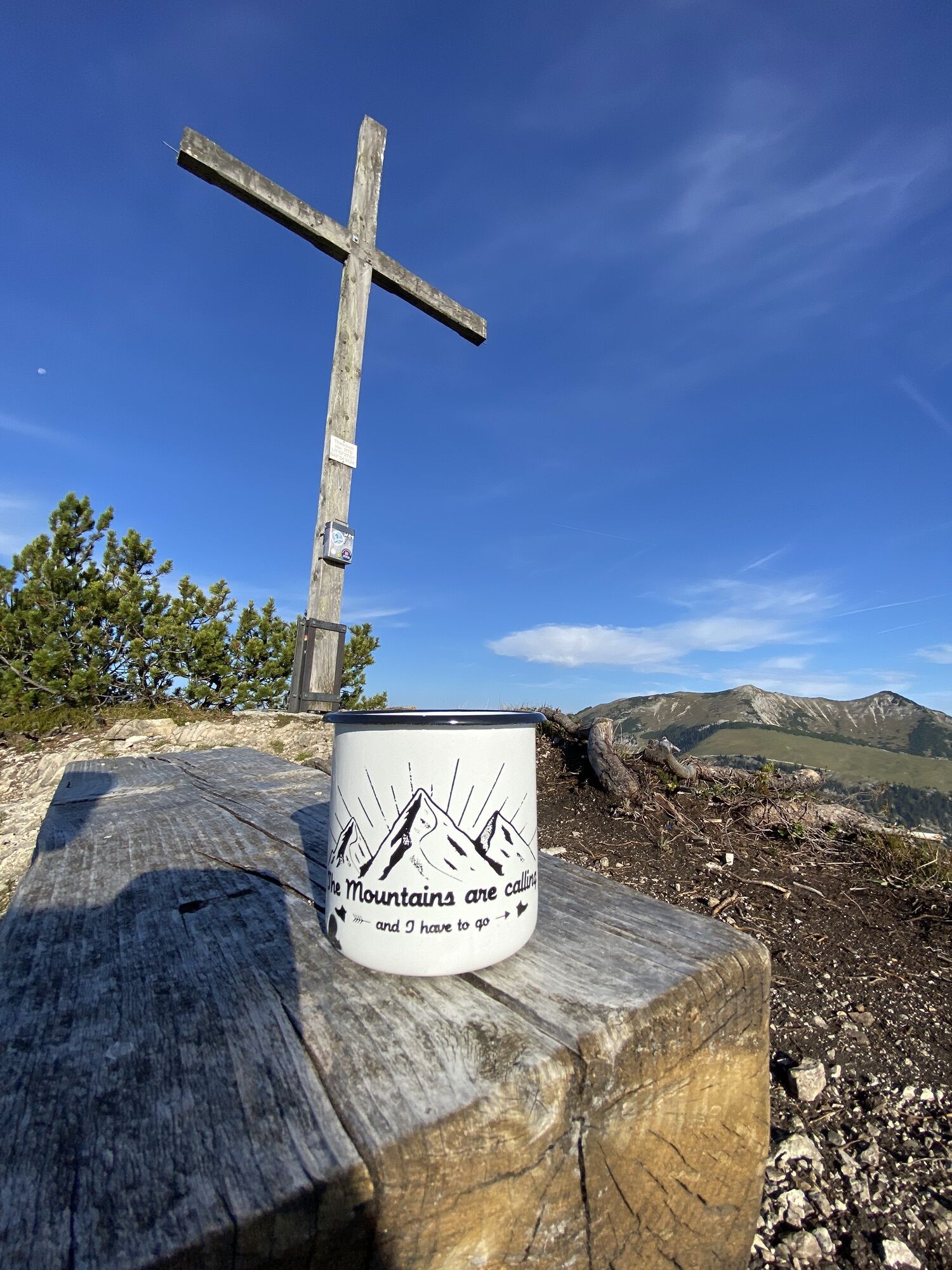
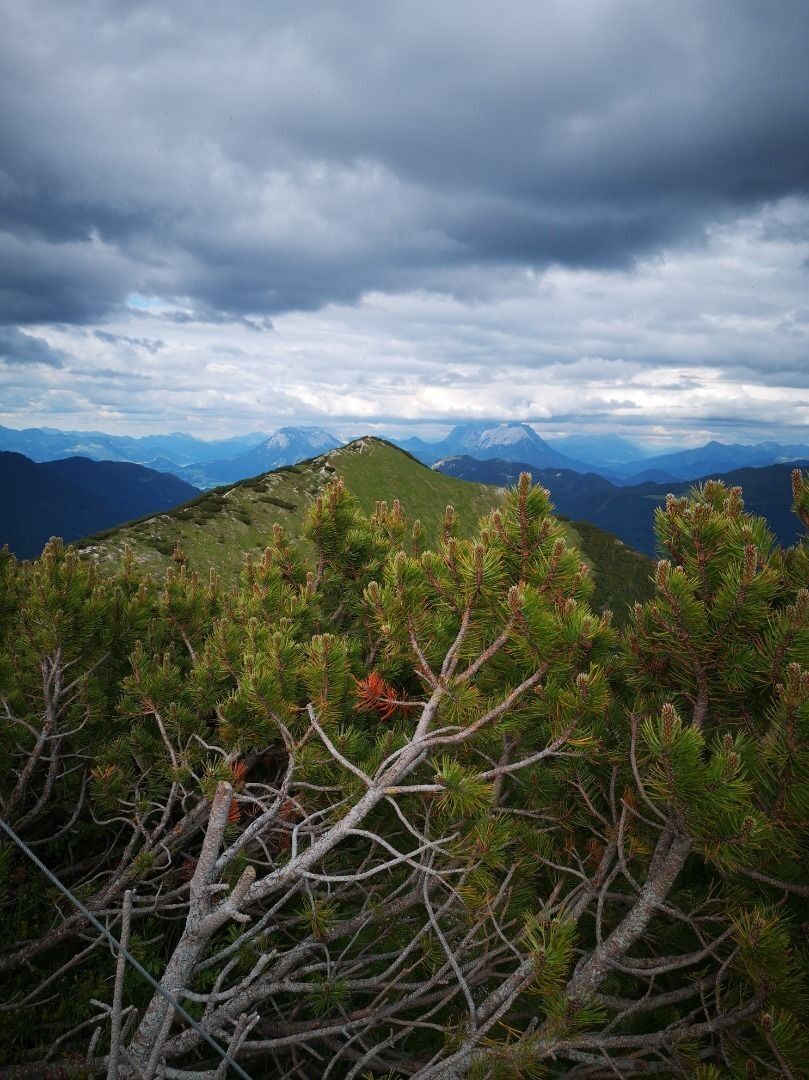
On the tour we climb three peaks and enjoy wonderful views of the surrounding mountains. From the opposite Sonnwendjoch and the Ackernalm, over the Kaisergebirge to Guffert and its neighbours you have...
On the tour we climb three peaks and enjoy wonderful views of the surrounding mountains. From the opposite Sonnwendjoch and the Ackernalm, over the Kaisergebirge to Guffert and its neighbours you have a great panoramic view. The trails are mostly easy, but extremely flowing. The alpine pasture area from the Riedebenalm to the Thaleralm over to the Kaisergebirge attracts with a great abundance of flowers and with a little luck you can see chamois and marmots in the area of the peaks. Only the first part of the downhill, which leads us down from the Veitsberg, is a bit rocky for a short time, but not steep or sloping.
Tip: After the tour, a stop at the Berggasthaus Wastler is recommended!
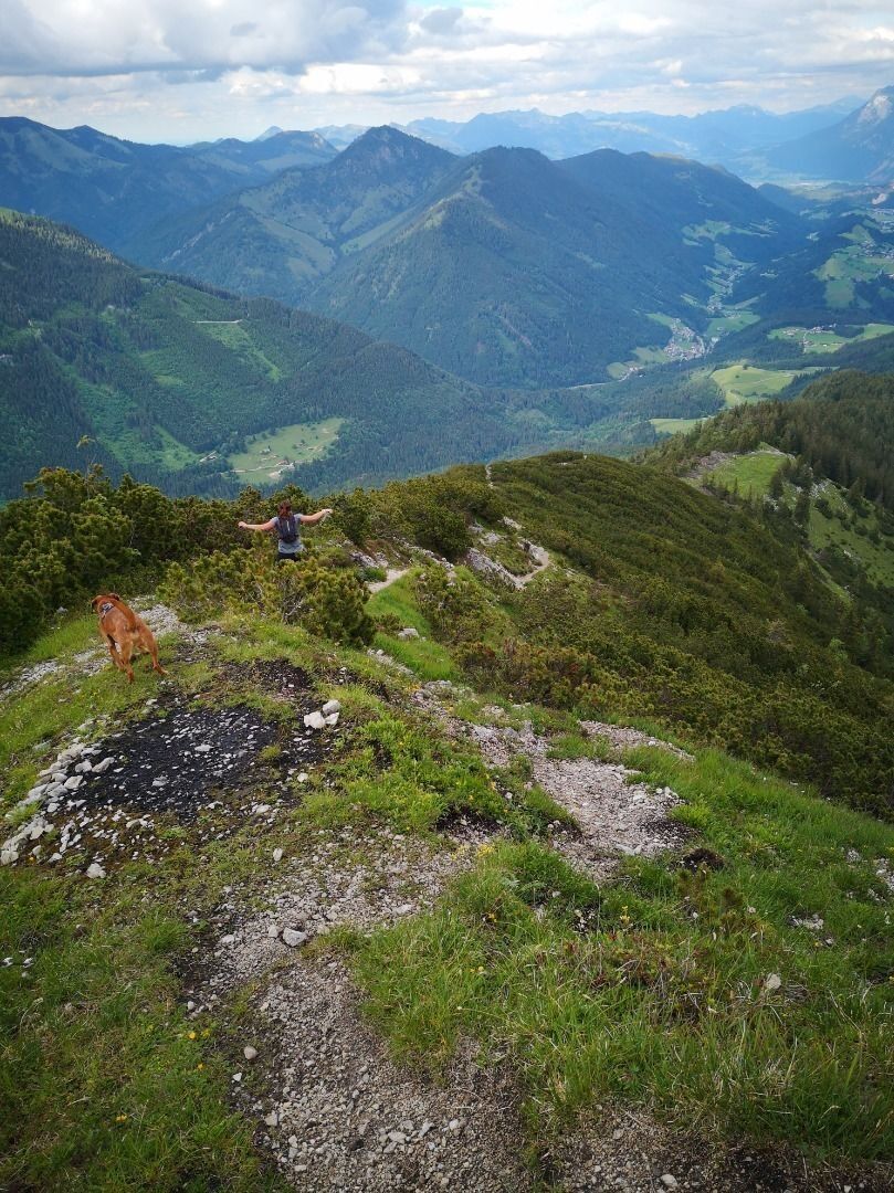
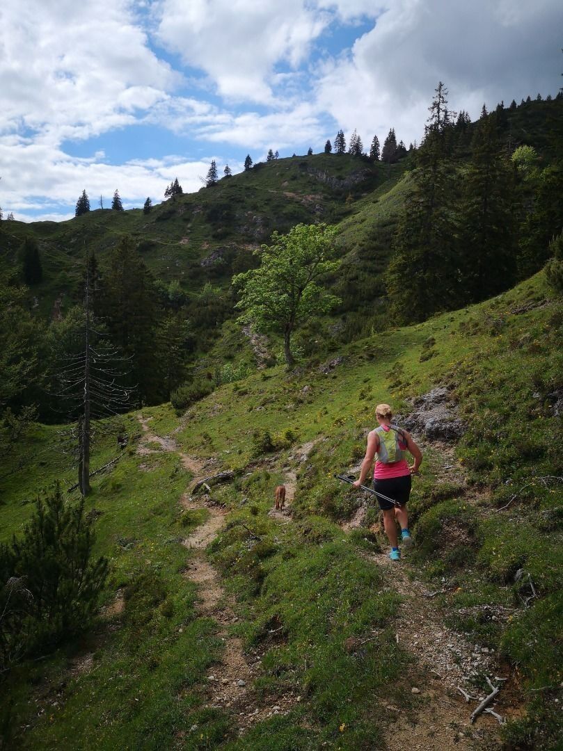

Trailrunning Thiersee
Via Thiersee or Bayrischzell to Landl, there direction Berggasthaus Wastler. After about 10 min you reach the parking lot.
With public transport you can get to the Wachtlbrücke or village stop in Landl. From there, however, it is 4.3 km/ 250 hm or 4.8 km/ 290 hm more. With the KufsteinerlandCard within the region bus free of charge.
Parking lot Fürschlacht, free of charge.
Parcours populaires à proximité
-
4,7
Rotwand über Schliersee, Deutschland
moyenRandonnée 15,4 km -
4,6
Brecherspitze
moyenRandonnée en montagne 14,5 km -
4,5
Brecherspitz-Runde auf dem Normalweg Schliersee, Bayern
moyenRandonnée 11,3 km -
4,7
Miesing
moyenRandonnée en montagne 17,9 km -
4,2
Jägerkamp und Benzingspitze
moyenRandonnée 8 km -
4,1
Taubenstein mit 360° Bergblick am Gipfel
facileRandonnée 8,50 km -
4,9
Kleiner und großer traithen von rosengasse
moyenRandonnée 9,84 km -
4,1
Spitzingsee
facileRandonnée 7,03 km -
4,7
Guffertspitze
difficileRandonnée en montagne 10,4 km -
4,2
Blauberg - Überschreitung
difficileRandonnée 17,4 km
Randonnée et suivi


Ne manquez pas les offres et l'inspiration pour vos prochaines vacances
Votre adresse électronique a été ajouté à la liste de diffusion.





