


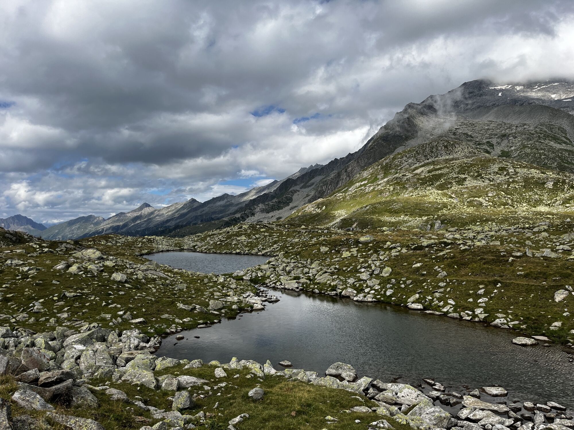
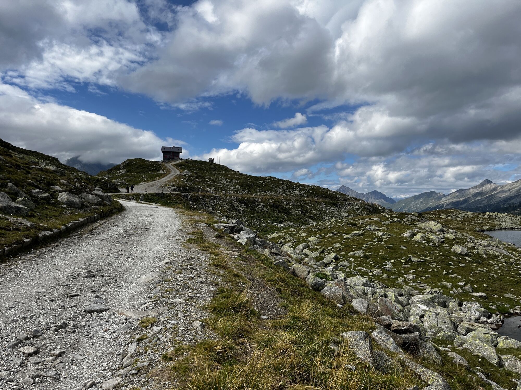
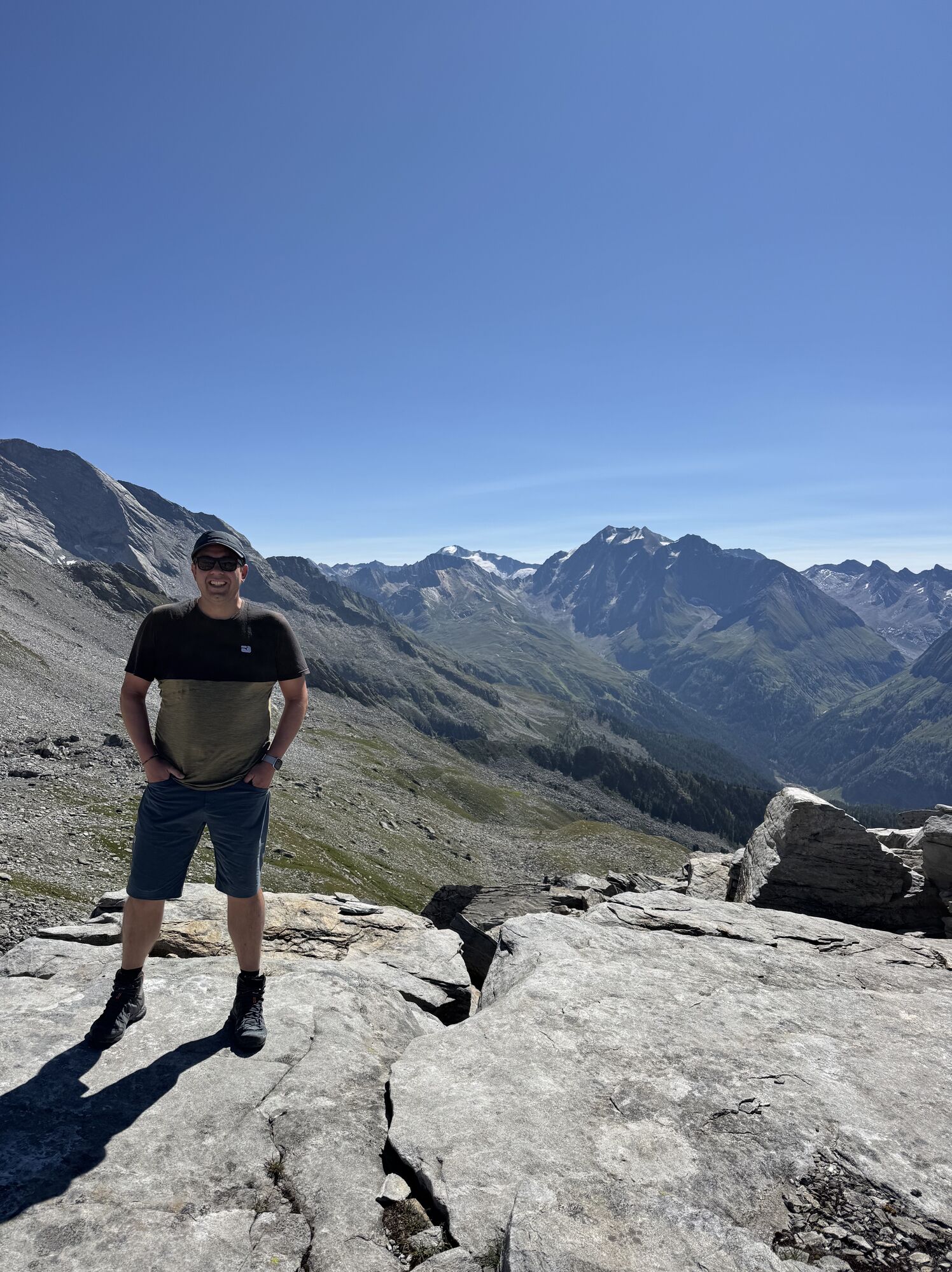
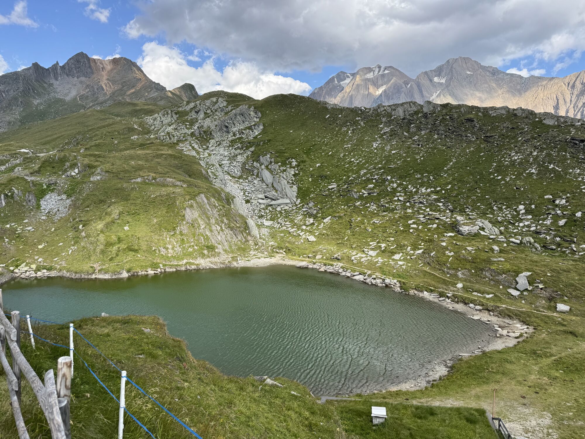
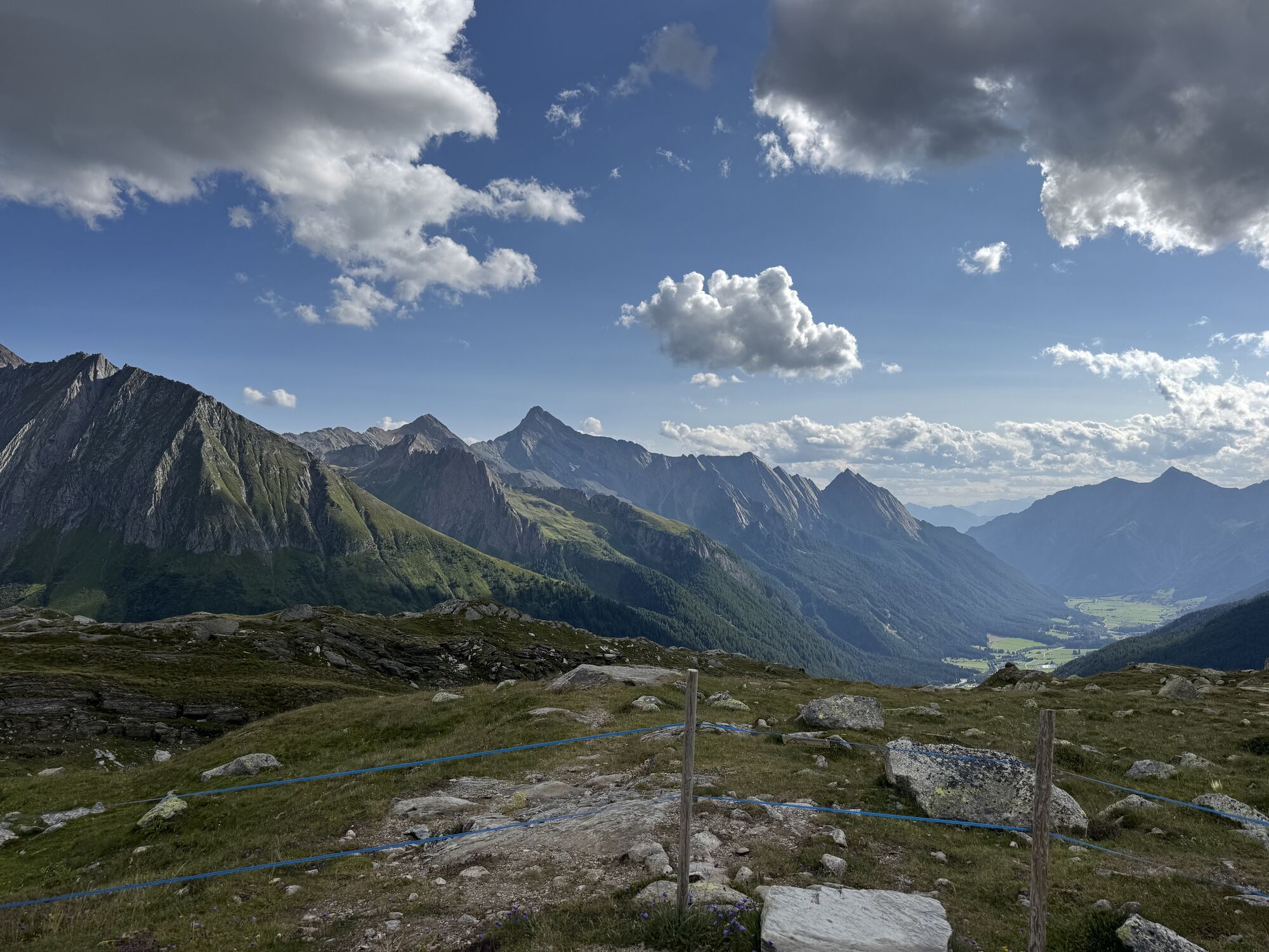
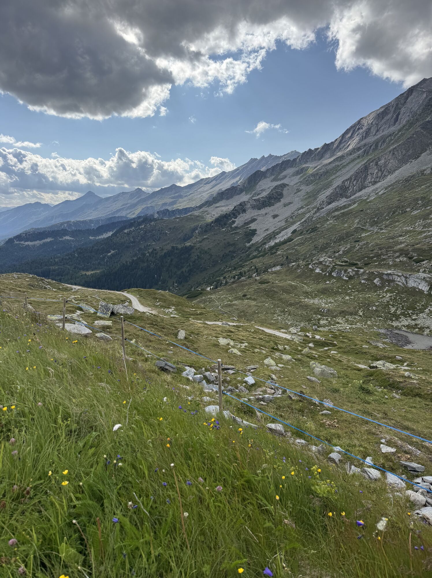
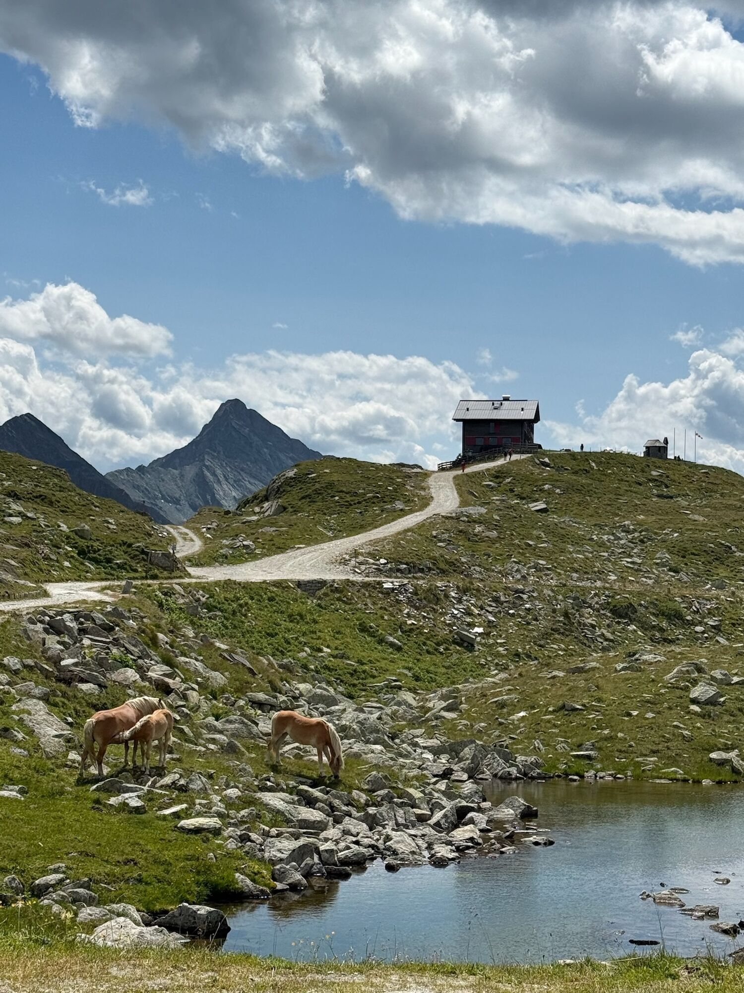
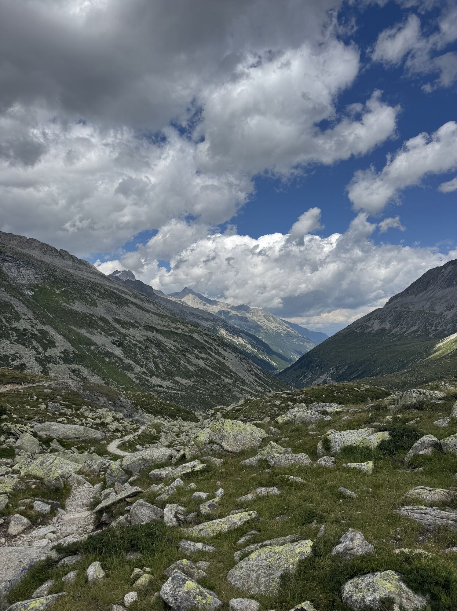
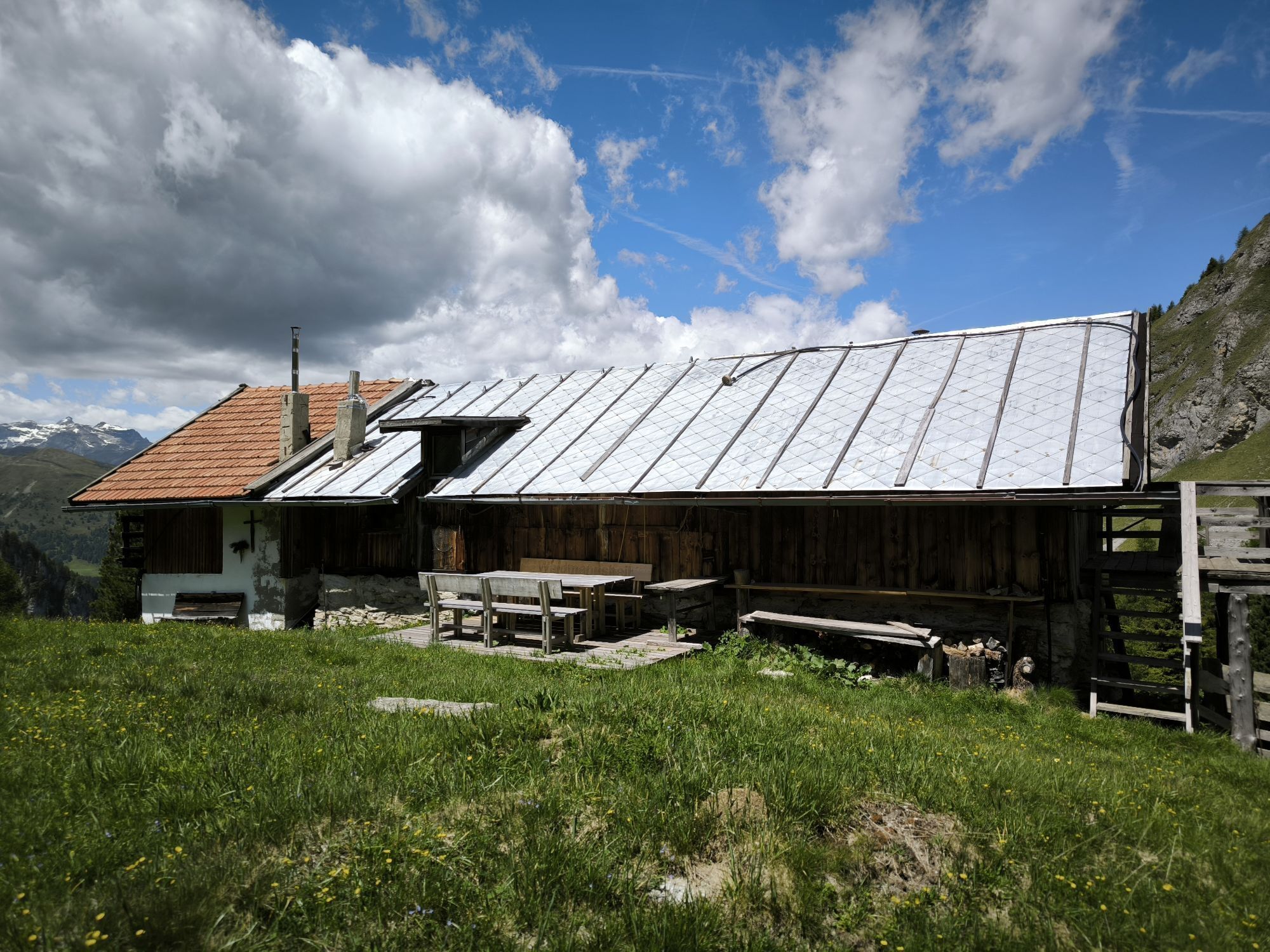
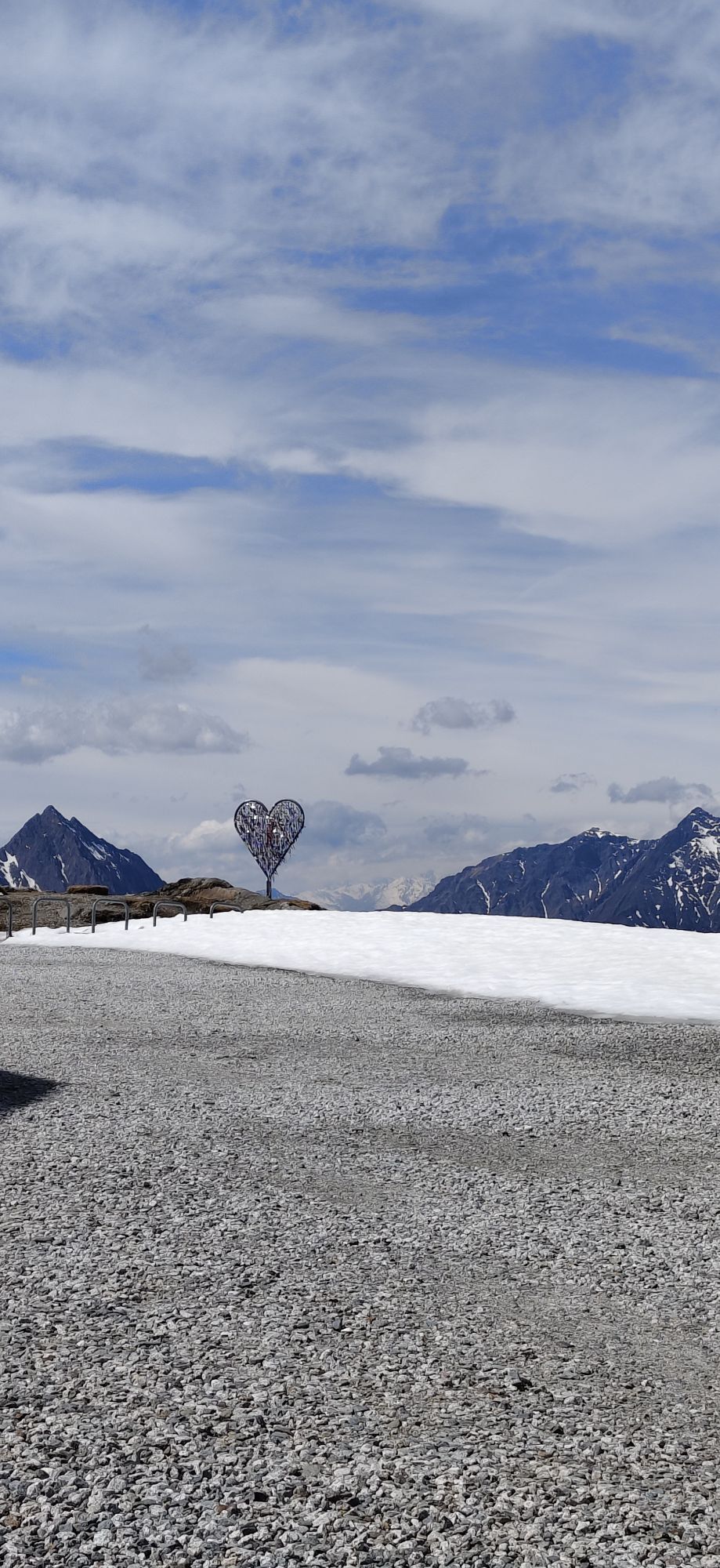
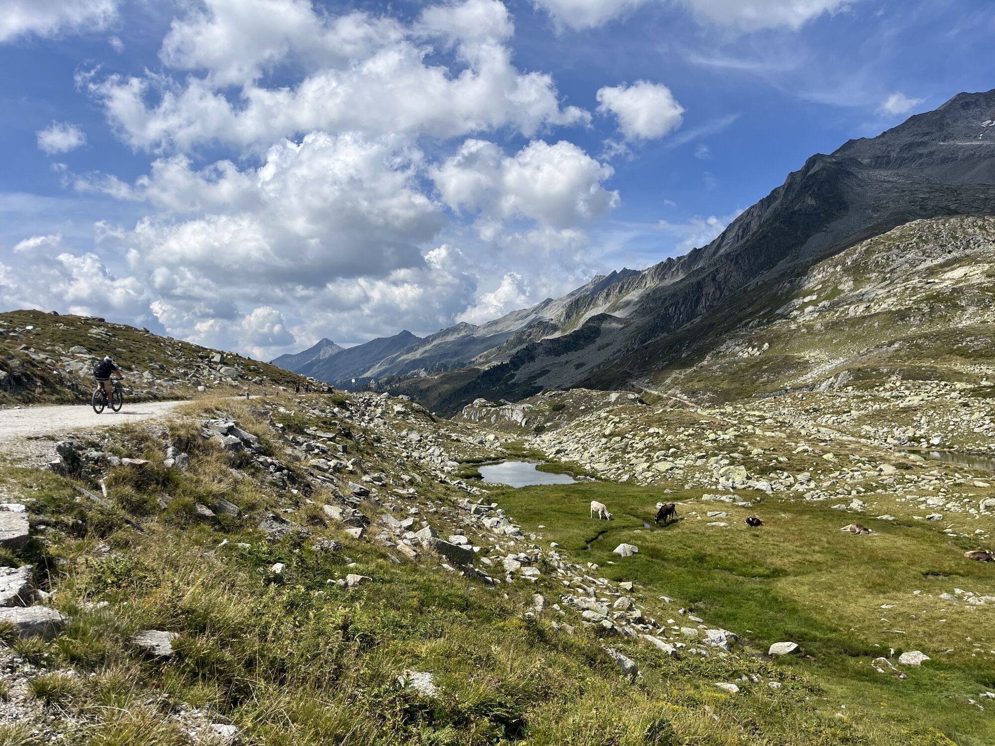
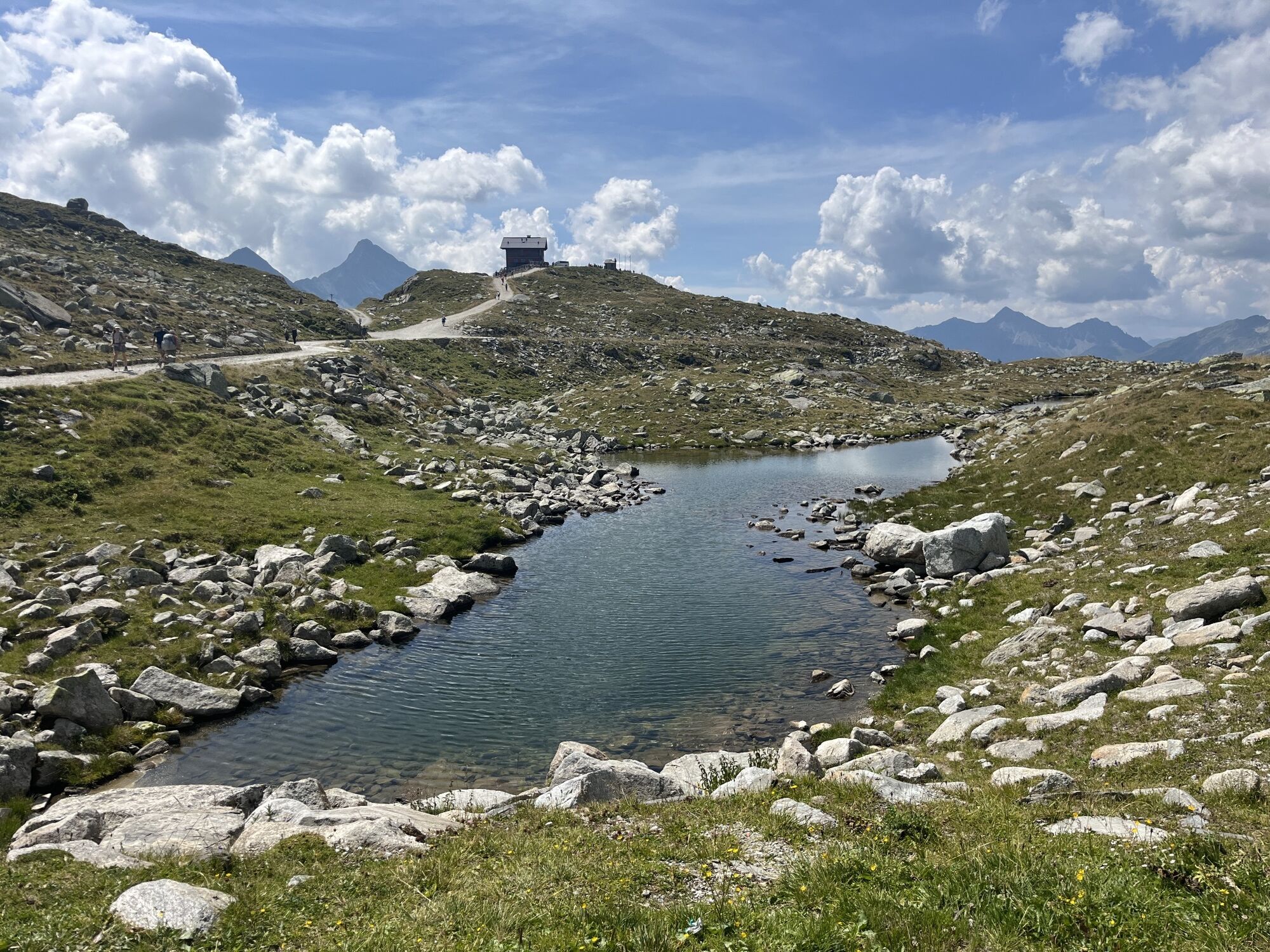
061 Grenzgänge Tuxer Hauptkamm
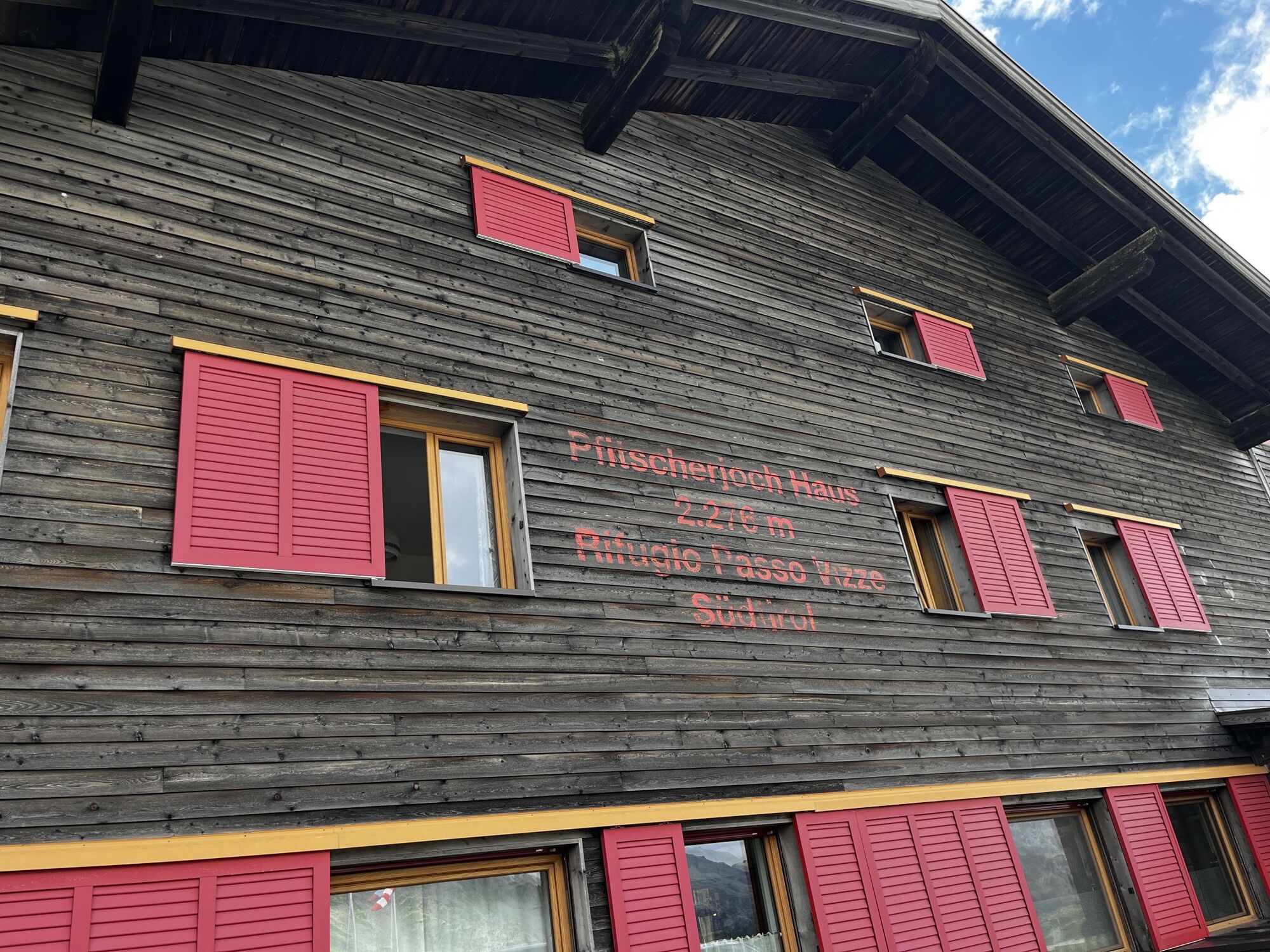
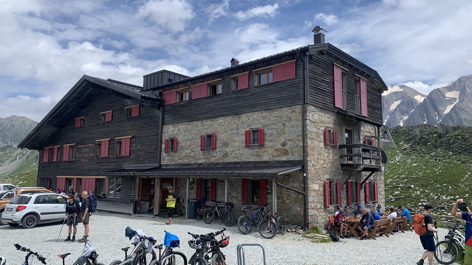
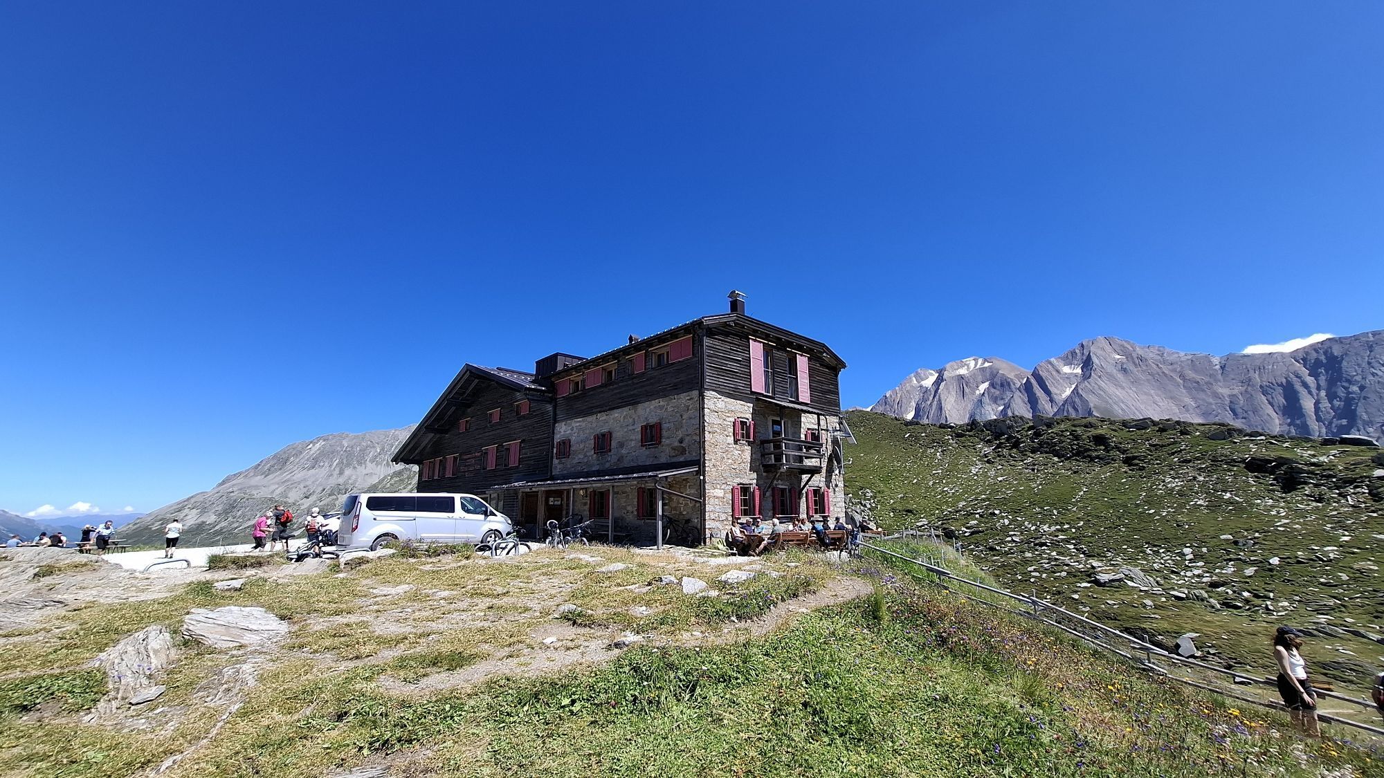
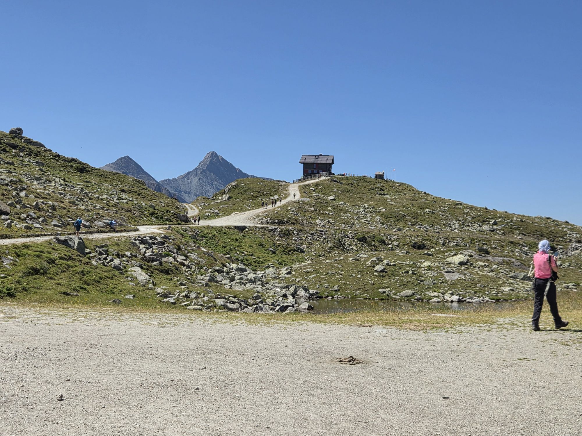
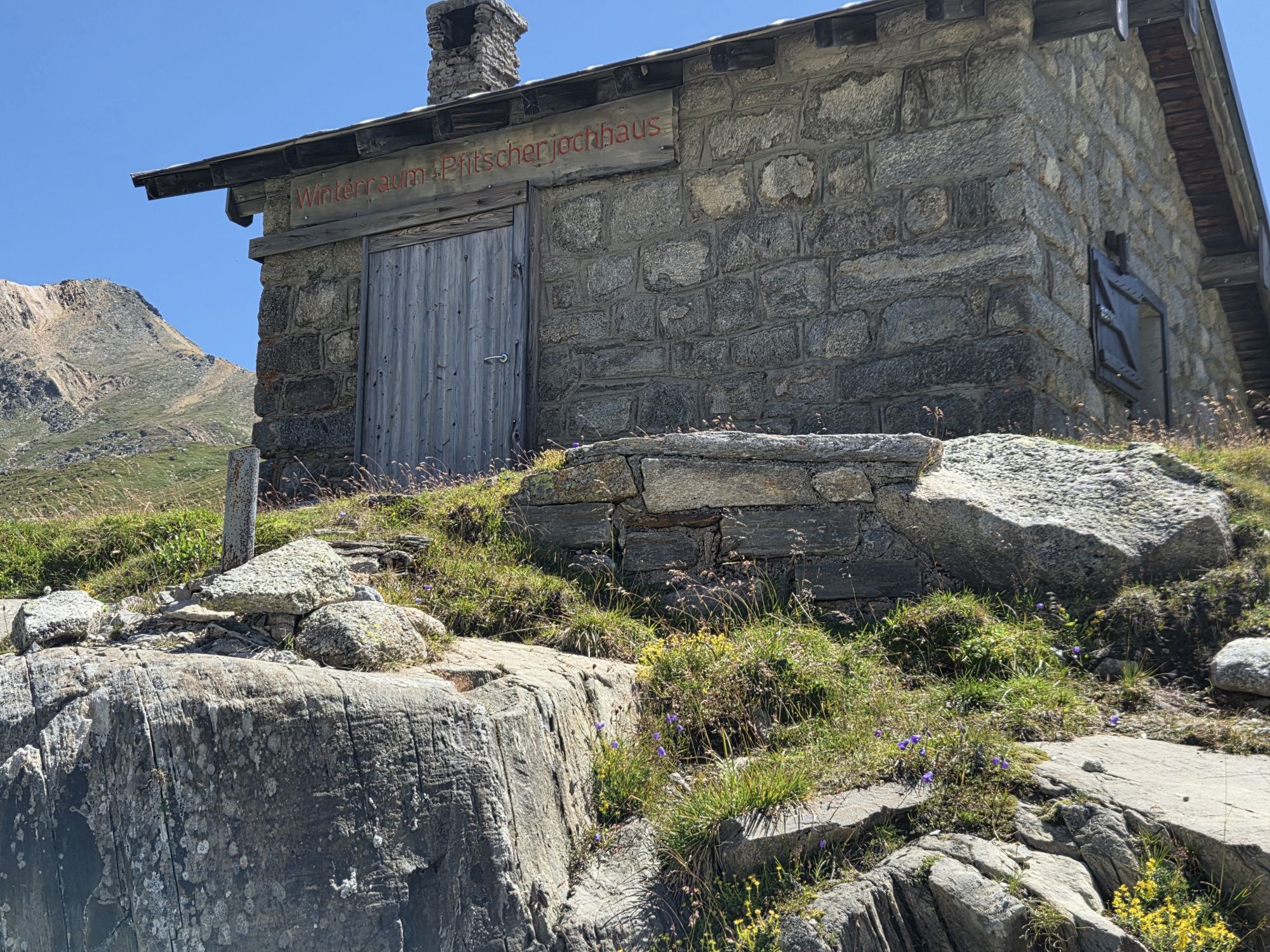
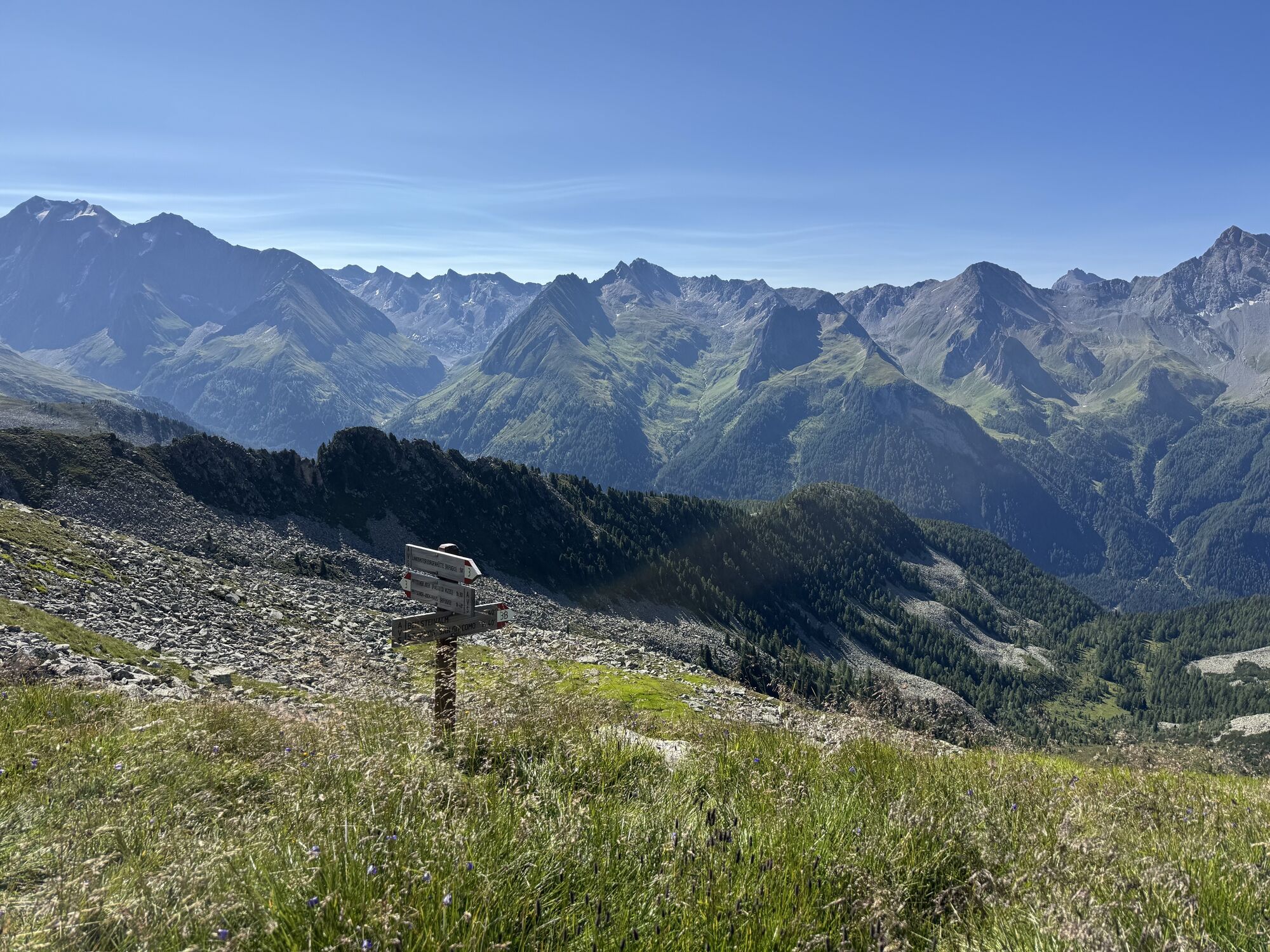
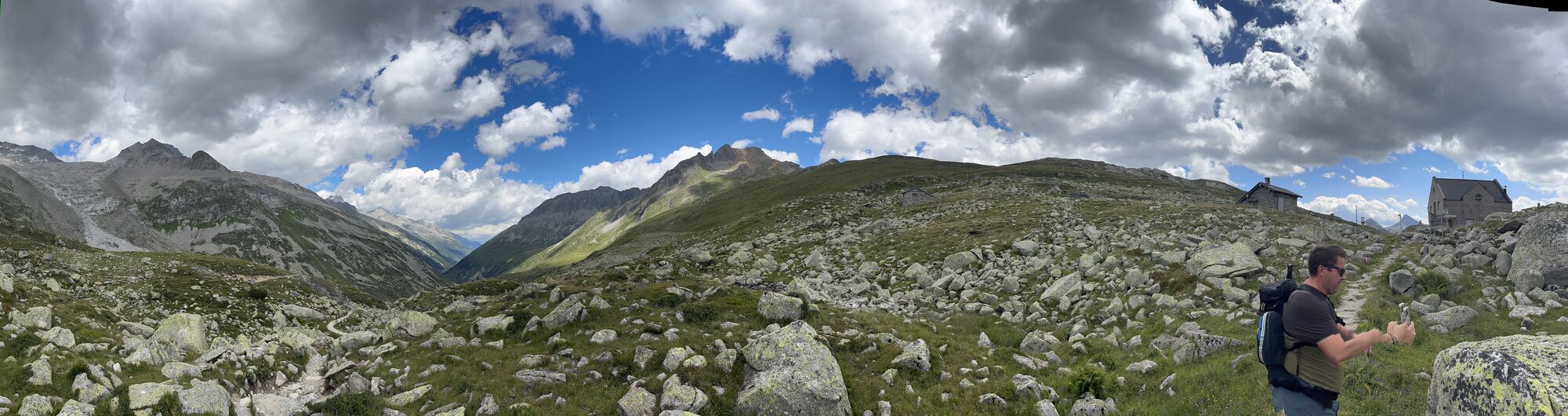
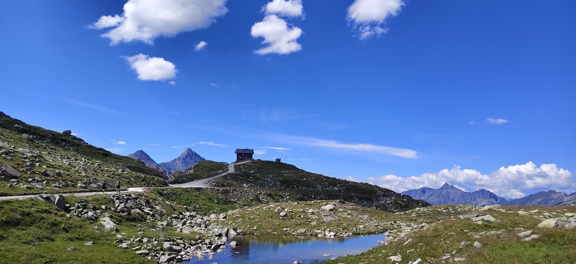
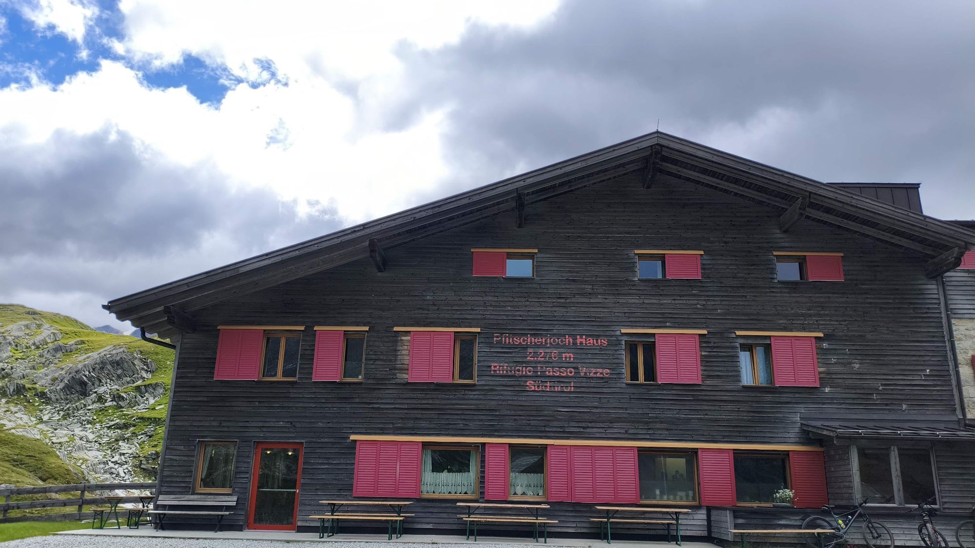
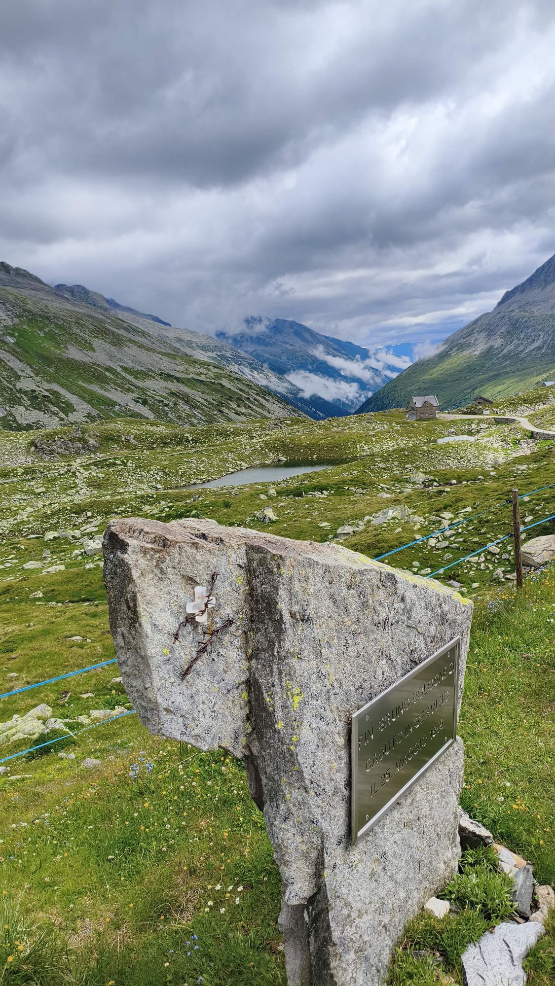
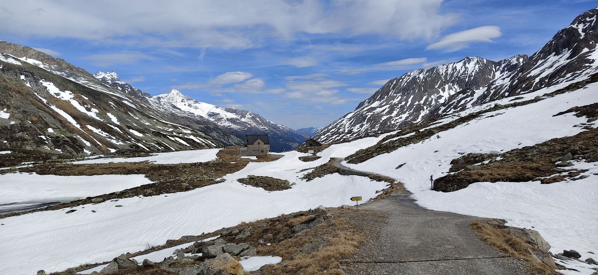
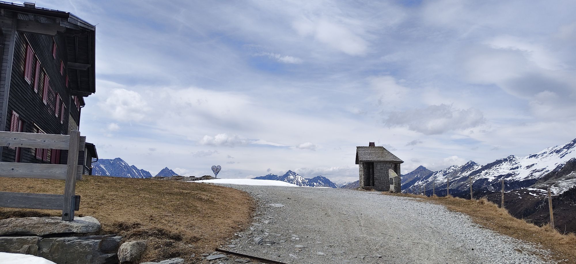
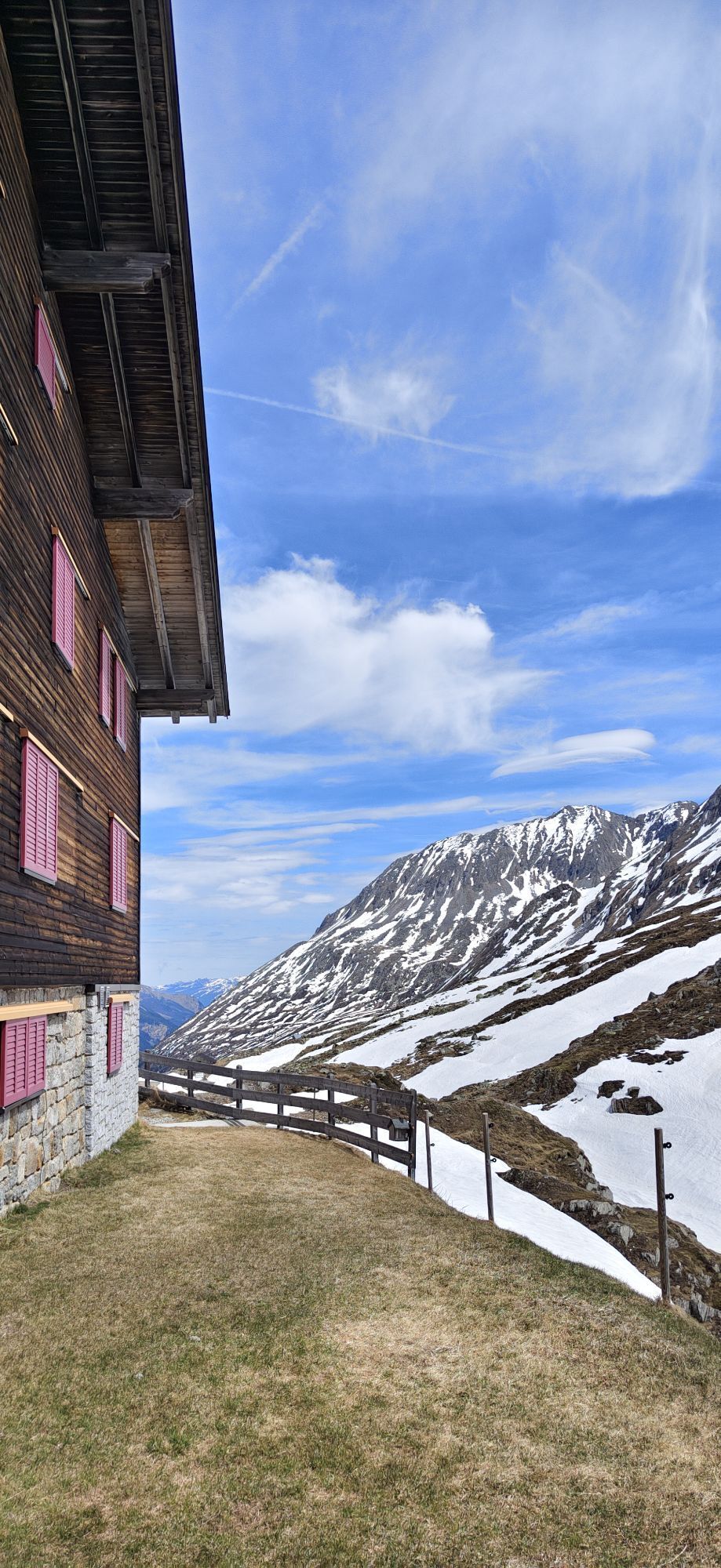
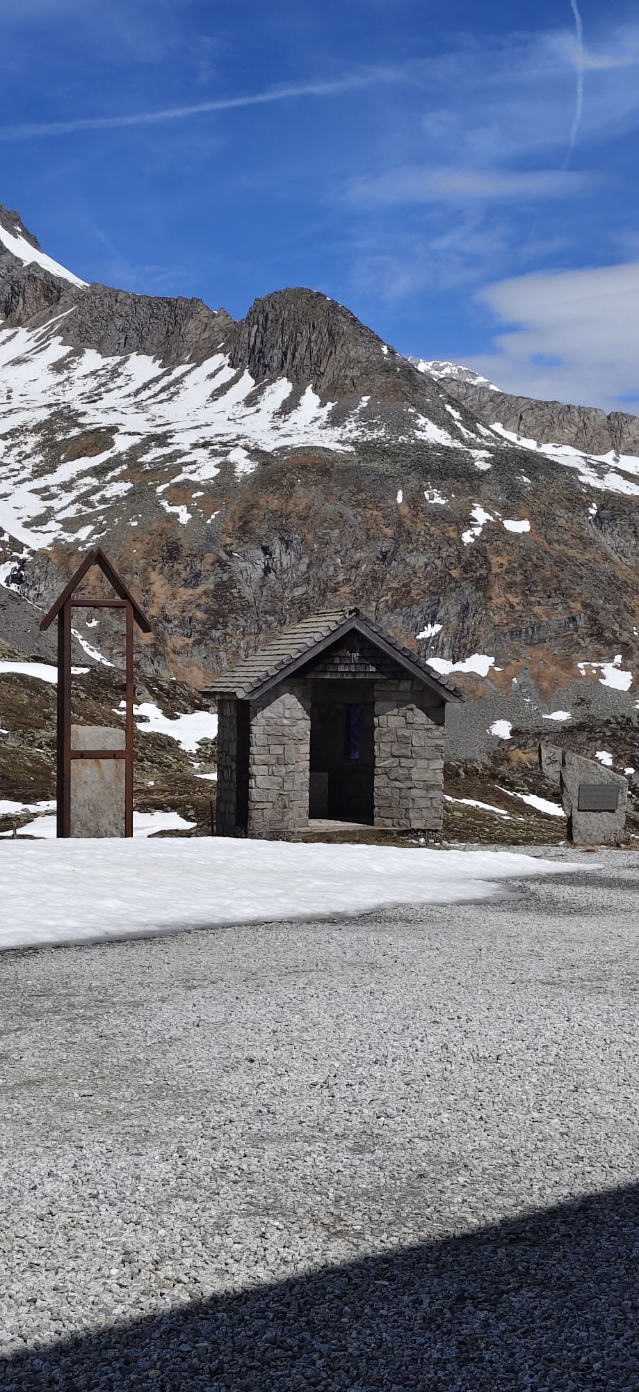
Pfitscher-Joch-Haus – Weg 3, 528 (Tiroler Höhenweg) – Nusserkopf (2354 m) – Landshuter Höhenweg – Wipptaler Höhenweg (3, 528) – Friedrichshöhe (2713 m) – Landshuter Europahütte (Rif. Venna alla Gerla,...
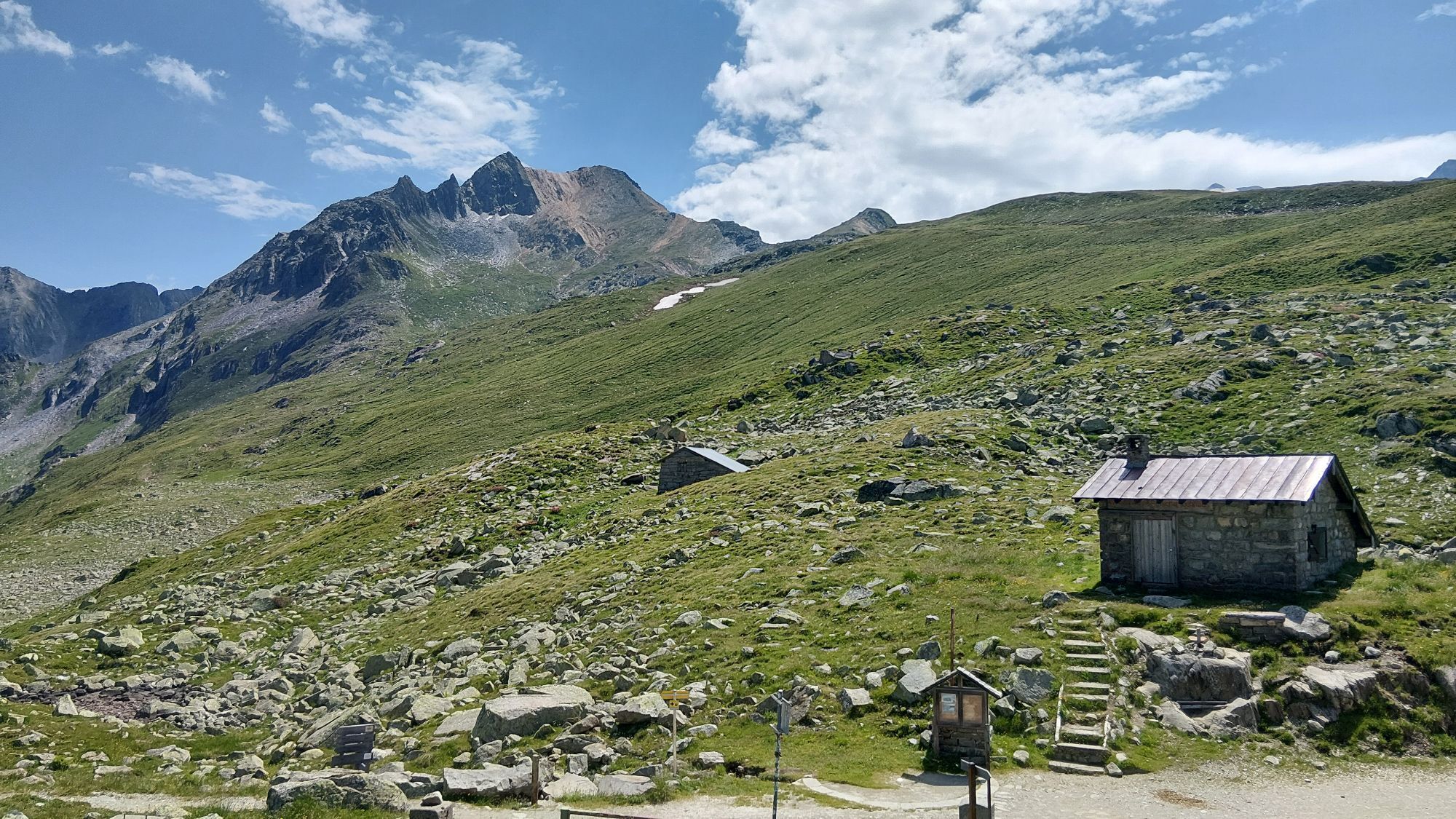
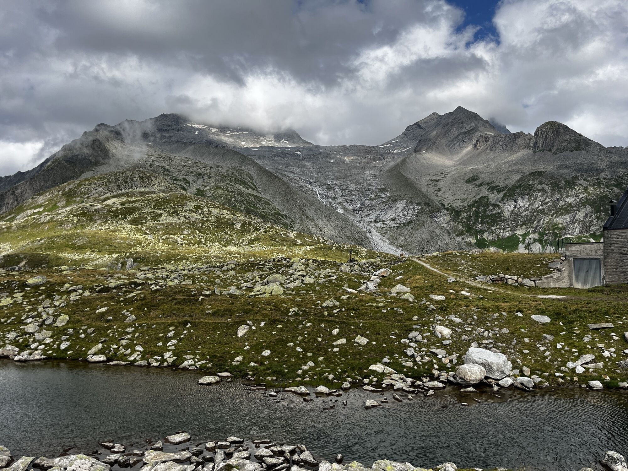
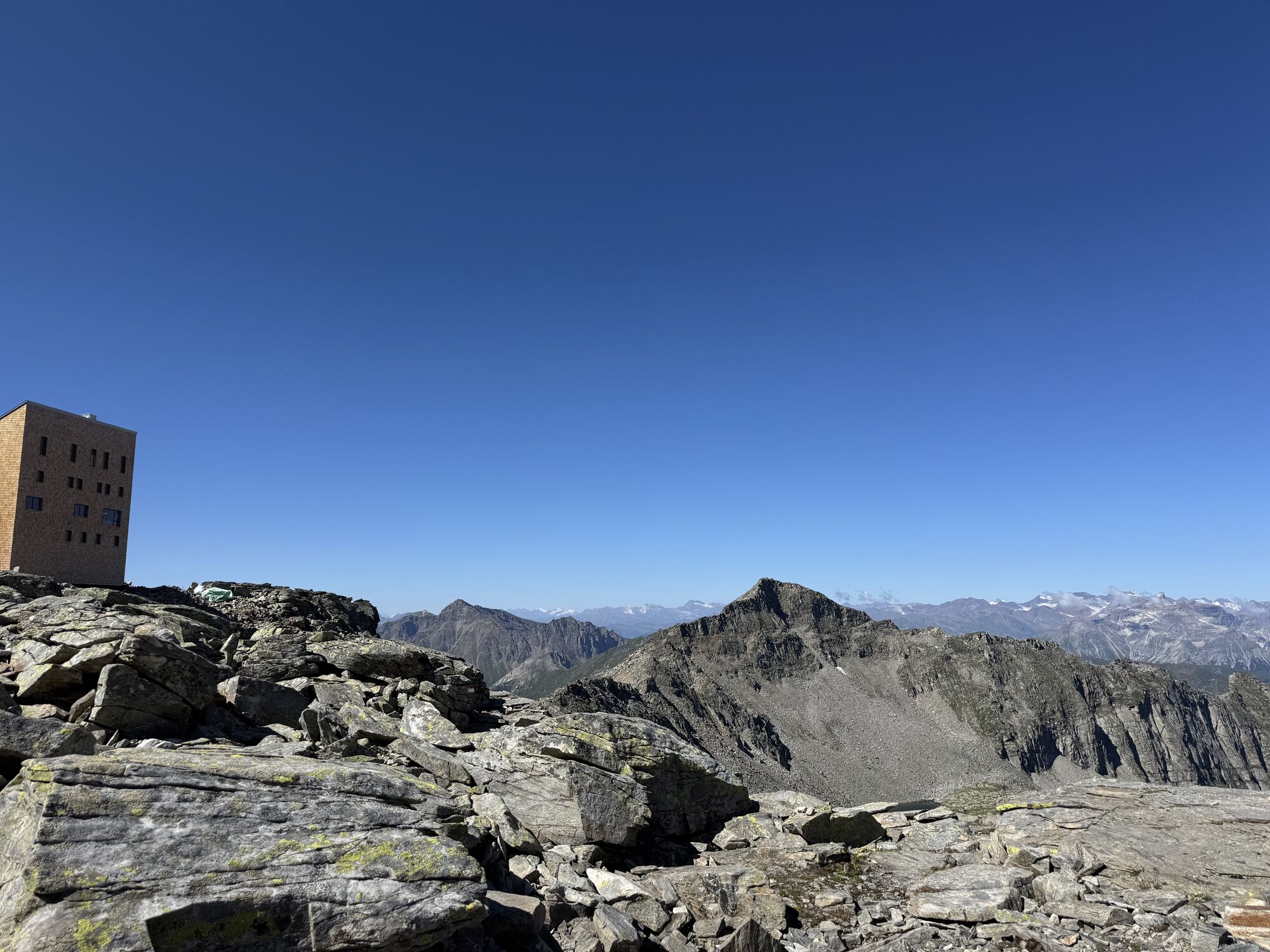
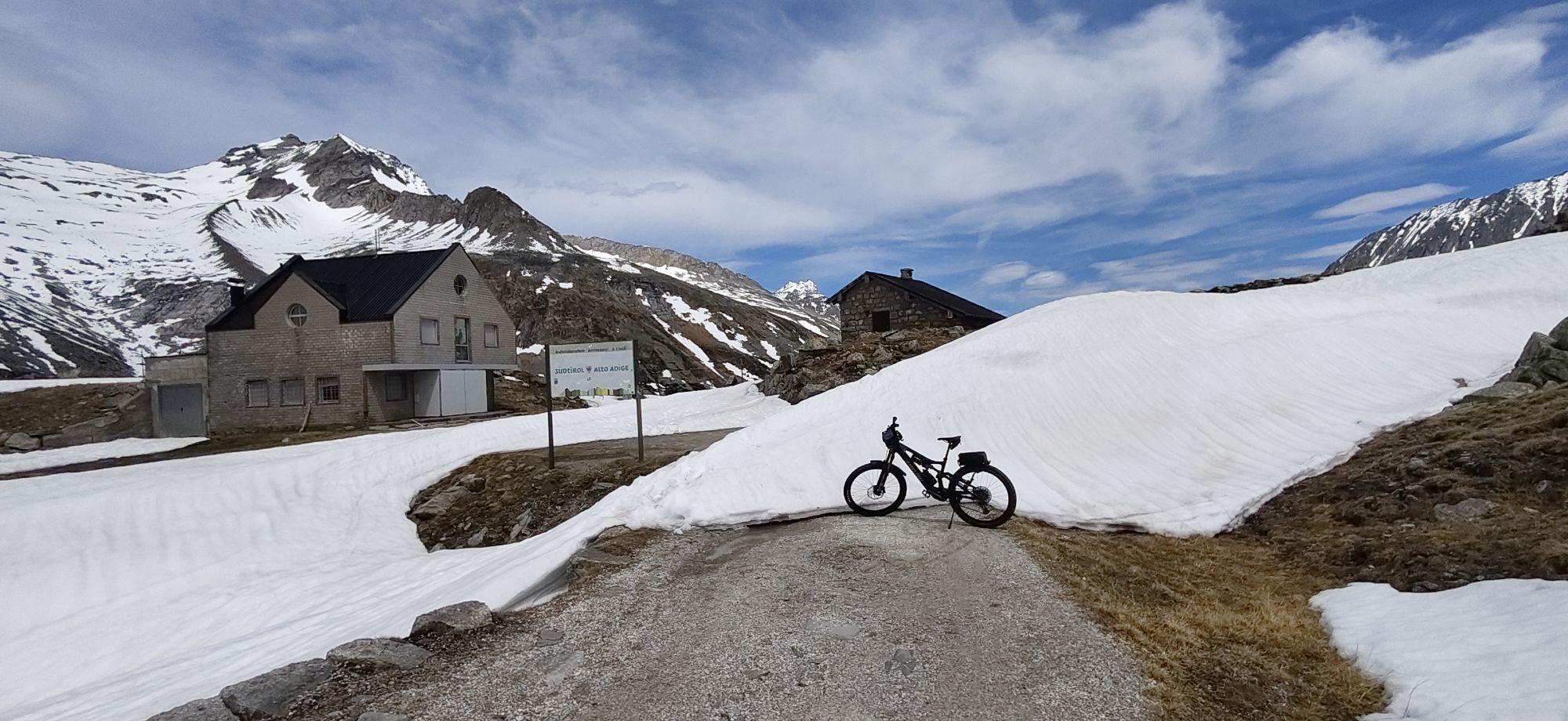
Pfitscher-Joch-Haus – Weg 3, 528 (Tiroler Höhenweg) – Nusserkopf (2354 m) – Landshuter Höhenweg – Wipptaler Höhenweg (3, 528) – Friedrichshöhe (2713 m) – Landshuter Europahütte (Rif. Venna alla Gerla, 2639 m) hier Übernachtung, oder je nach Wetter und Verfassung weiter bis Brenner:
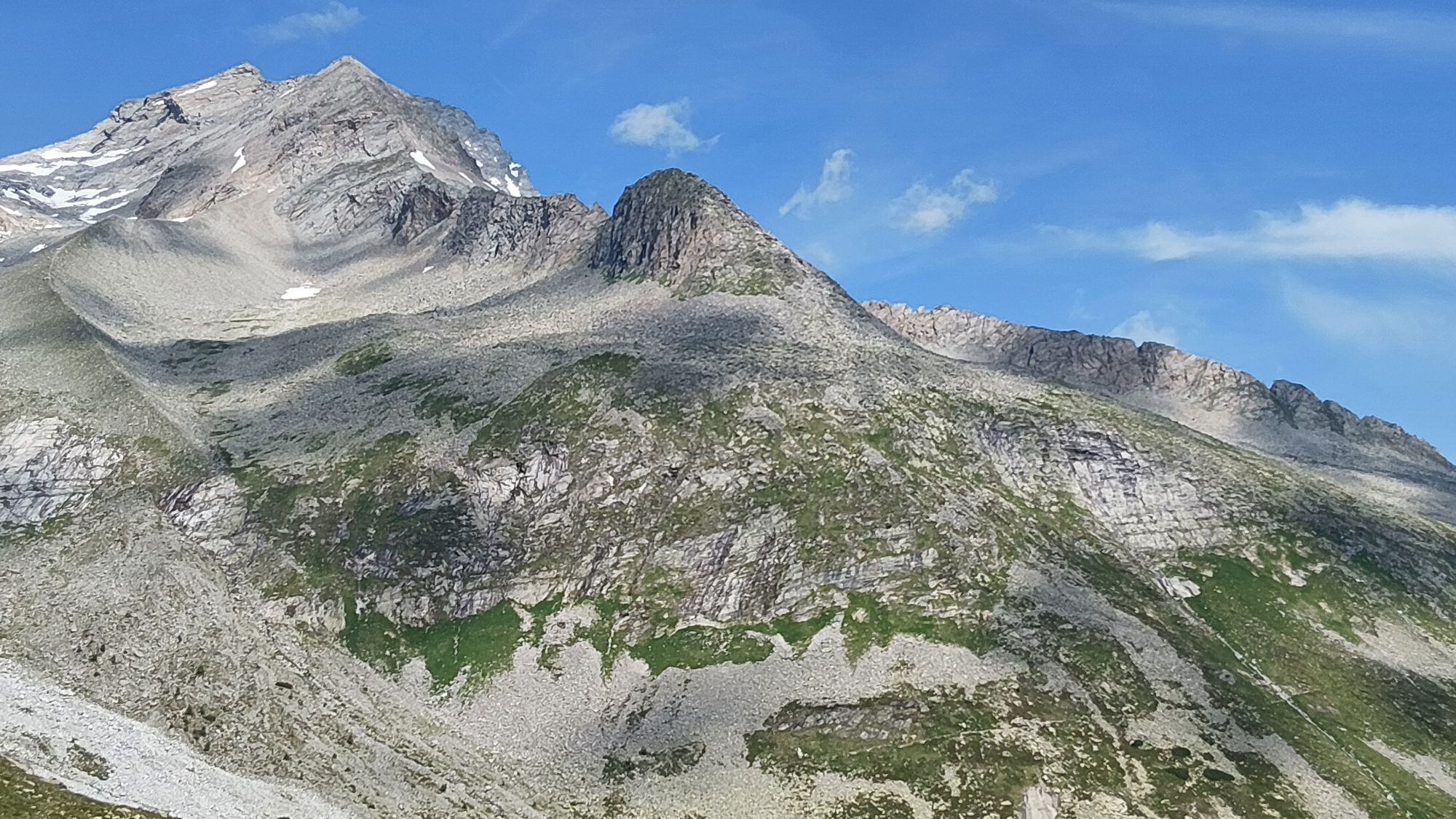
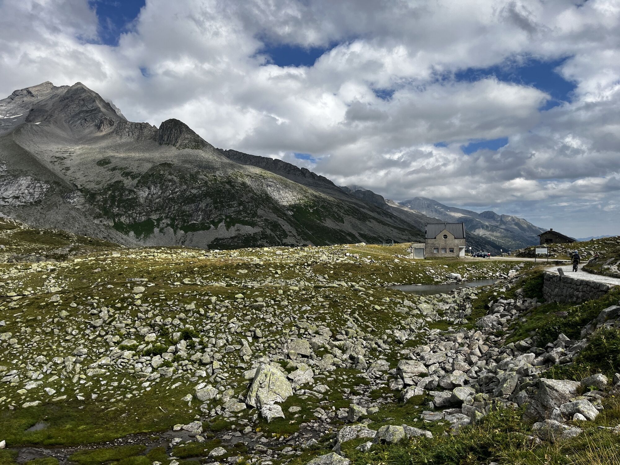
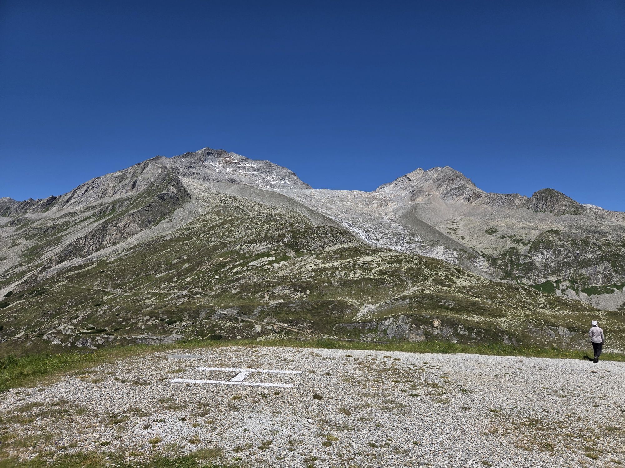
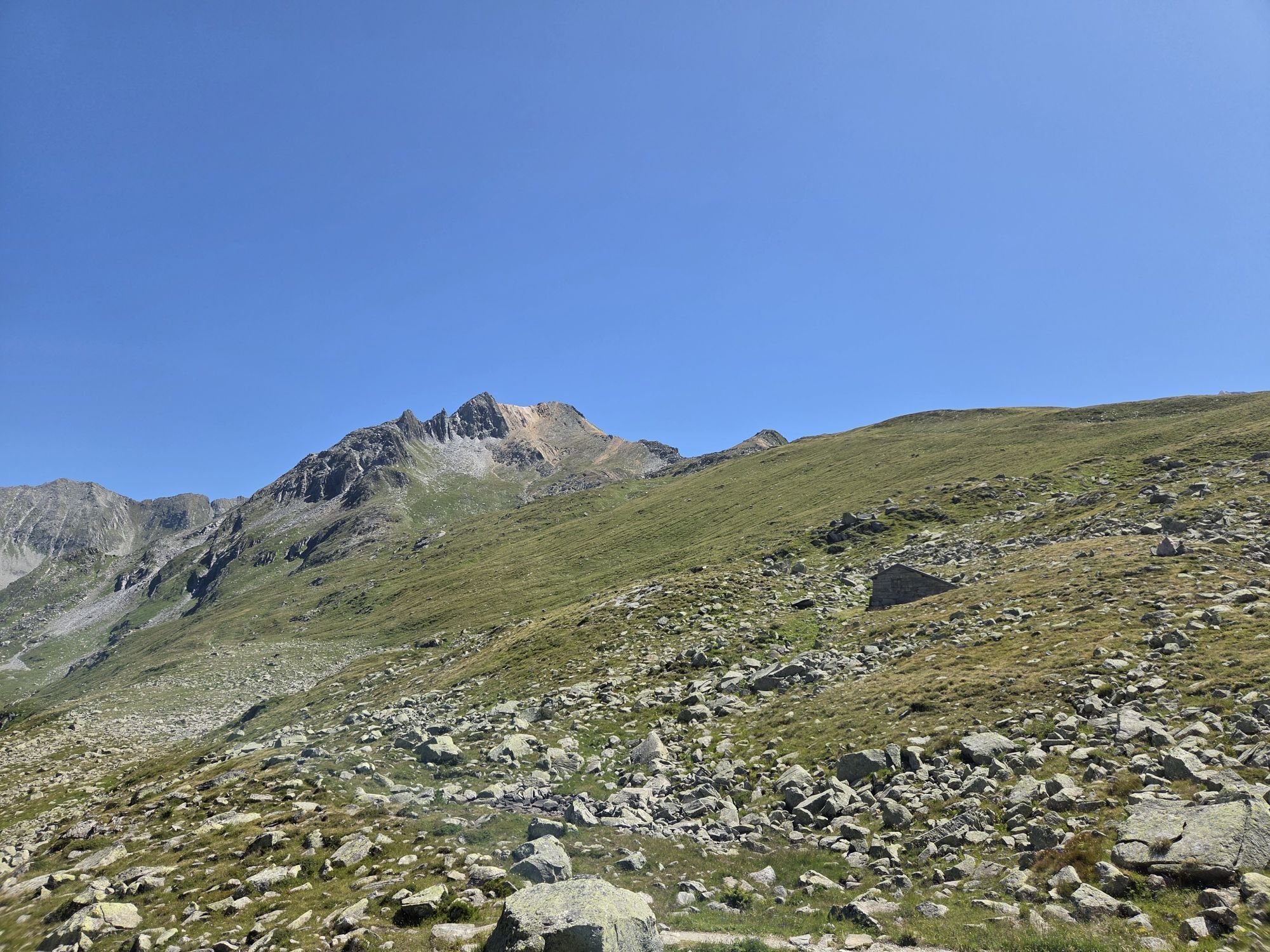
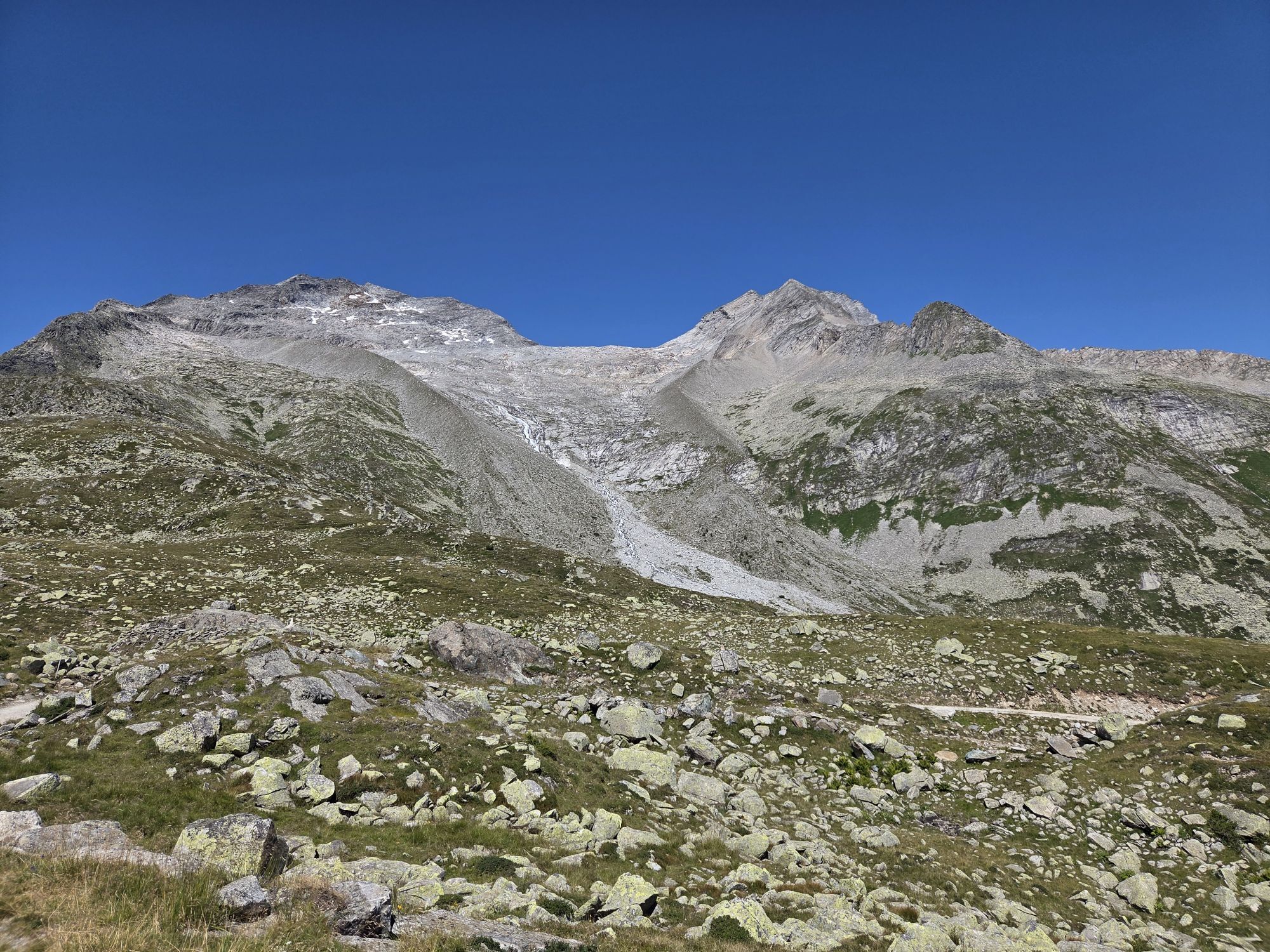
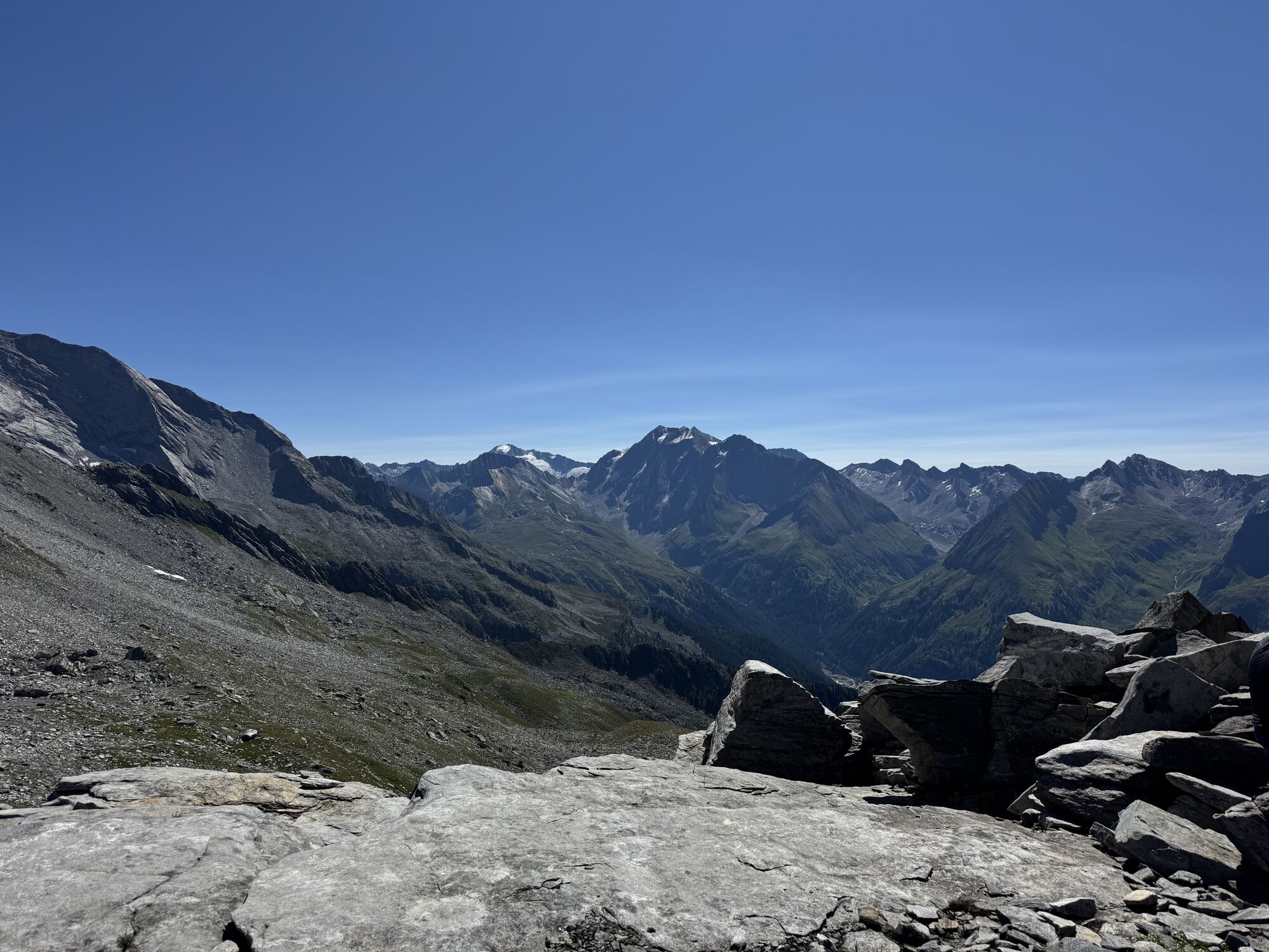
Wildseespitze (2733) – Wolfendorn (Spina del Lupo, 2778 m) – re auf Weg Nr. 5, dann 5A über Mäderlscharte (2333 m) – Tiroler Höhenweg – Griesbergalm (1953 m) – Brennerpass (1370 m)

Parcours populaires à proximité
-
4,1
Schlegeis-Stausee - Olperer Hütte
facileRandonnée 6,30 km -
4,7
Neumarkter Runde
moyenRandonnée 10,4 km -
4,9
Hochfeiler
moyenRandonnée 17,1 km -
4,9
Friesenbergalm & Olpererhütte
difficileRandonnée 13,4 km -
4,8
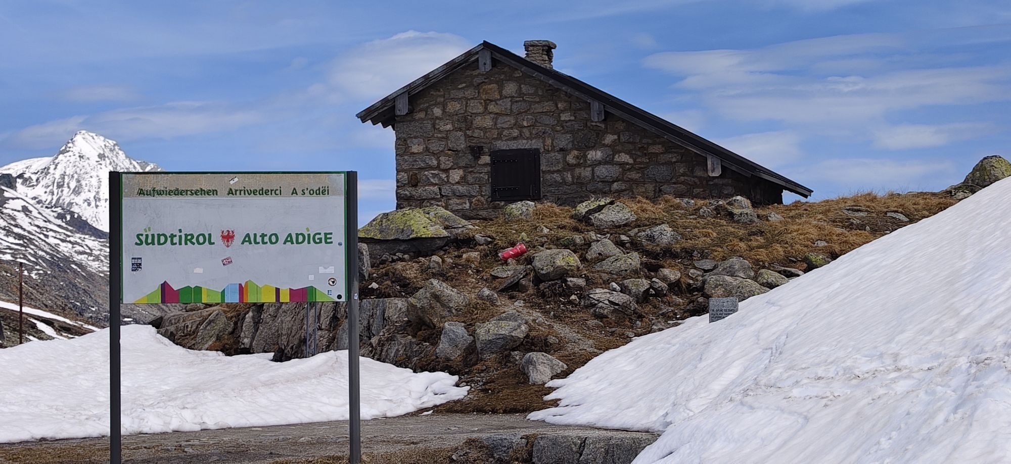
Südtirol
difficileRandonnée 17,8 km -
4,7
Klassische Startrunde zum „Einwandern“
facileRandonnée 8,77 km -
4,0
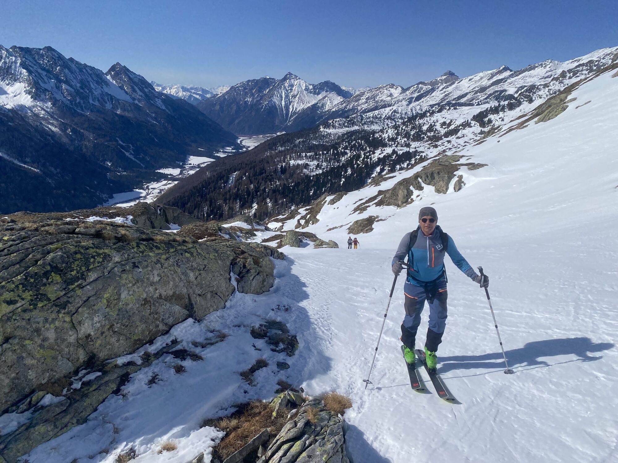
Sattelberg skitour
facileSki de randonnée 8,95 km -
4,8
6.Etappe Alpenüberquerung Gmund/Sterzing
difficileRandonnée en montagne 18,4 km -
4,7
Vals-Fanes Alm- Labesebenalm Wilder See MTB u Hike
moyenVTT 21,7 km -
3,7
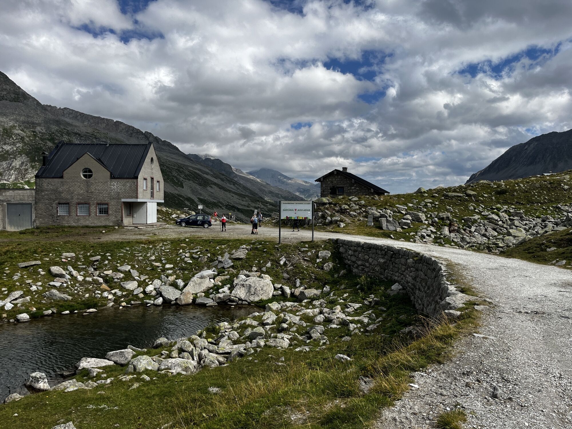
Pfitscherjoch-Haus ab Schlegeisspeicher
facileRandonnée 12,2 km
Randonnée et suivi


Ne manquez pas les offres et l'inspiration pour vos prochaines vacances
Votre adresse électronique a été ajouté à la liste de diffusion.