
Lasörling 3.098m (ascent Virgen)
difficile
Télécharge cette visite sur ton portable
Lasörling 3.098m (ascent Virgen)
difficile
Randonnée d'altitude
22,64
km
Scanner le code QR et commencer la navigation dans l'application bergfex


Randonnée & tracking





Lasörling 3.098m (ascent Virgen)
difficile
Distance
22,64
km
Durée
12:00
h
Ascension
1 869
m
Altitude
1 148 -
3 078
m
Téléchargement de la piste
Lasörling 3.098m (ascent Virgen)
difficile
Randonnée d'altitude
22,64
km
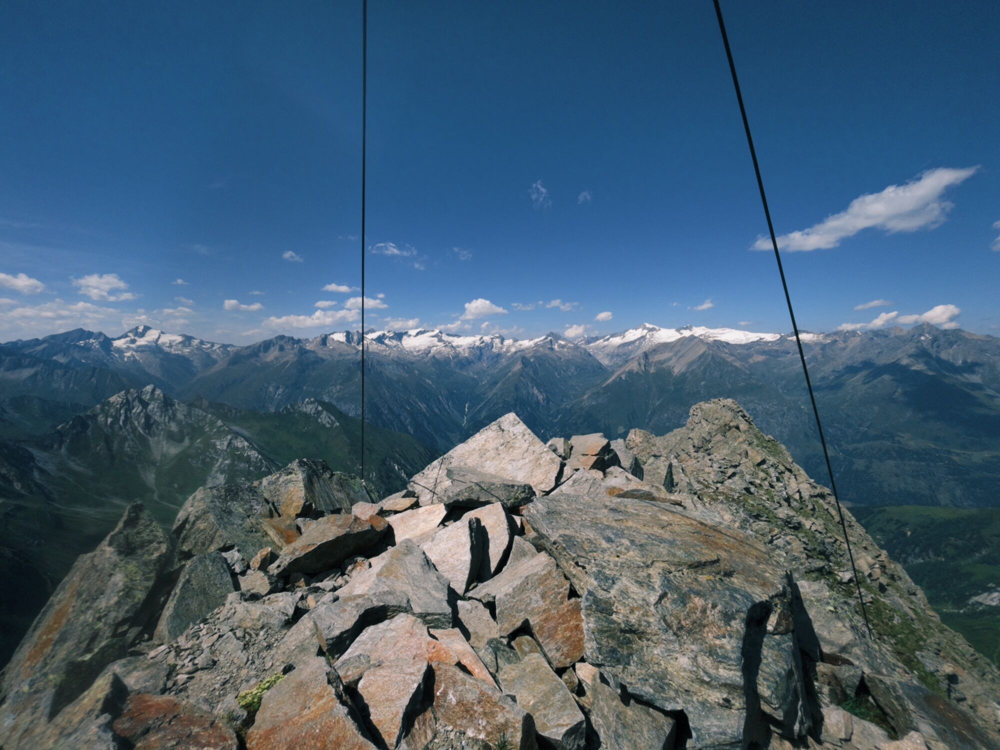
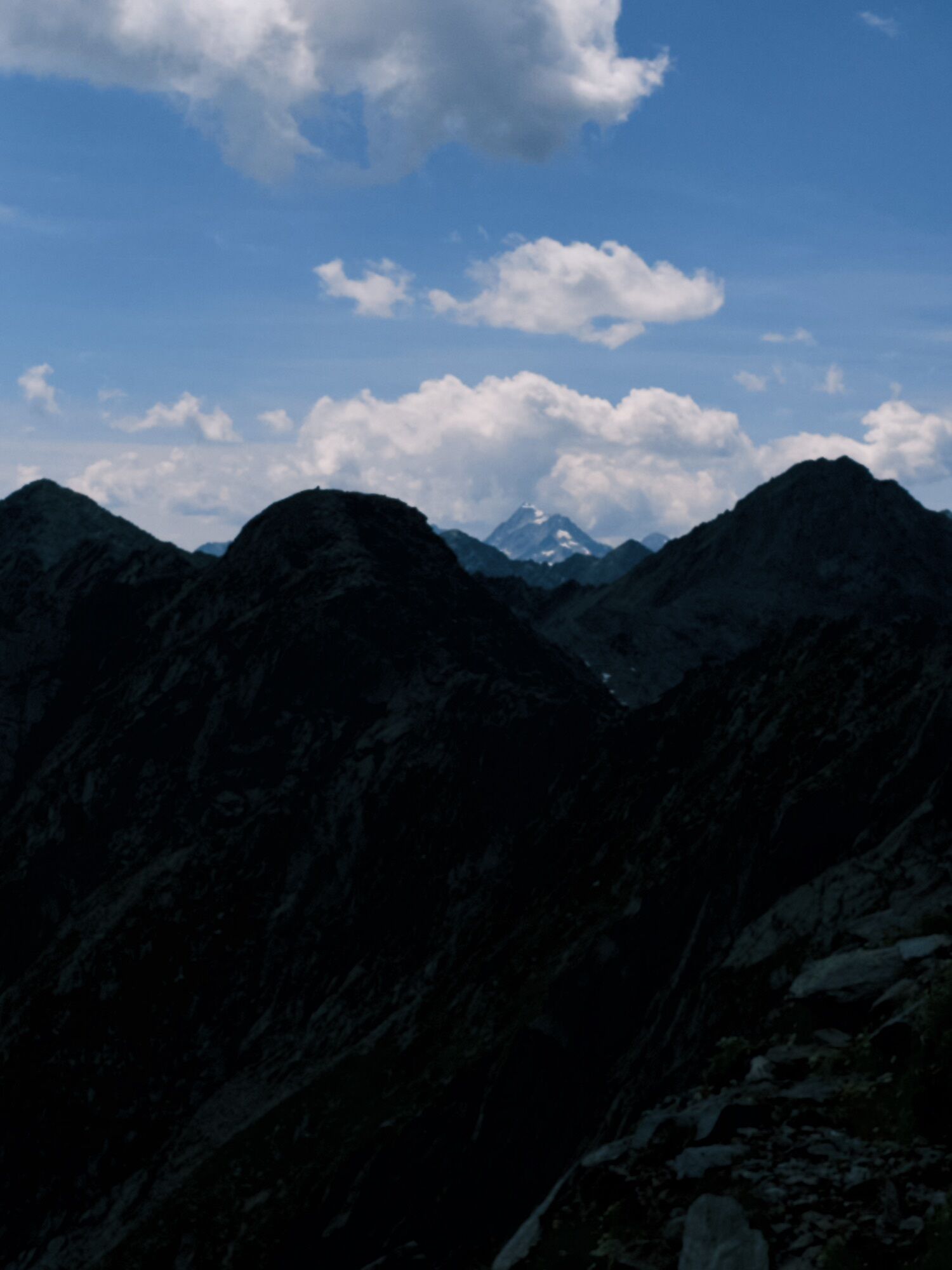
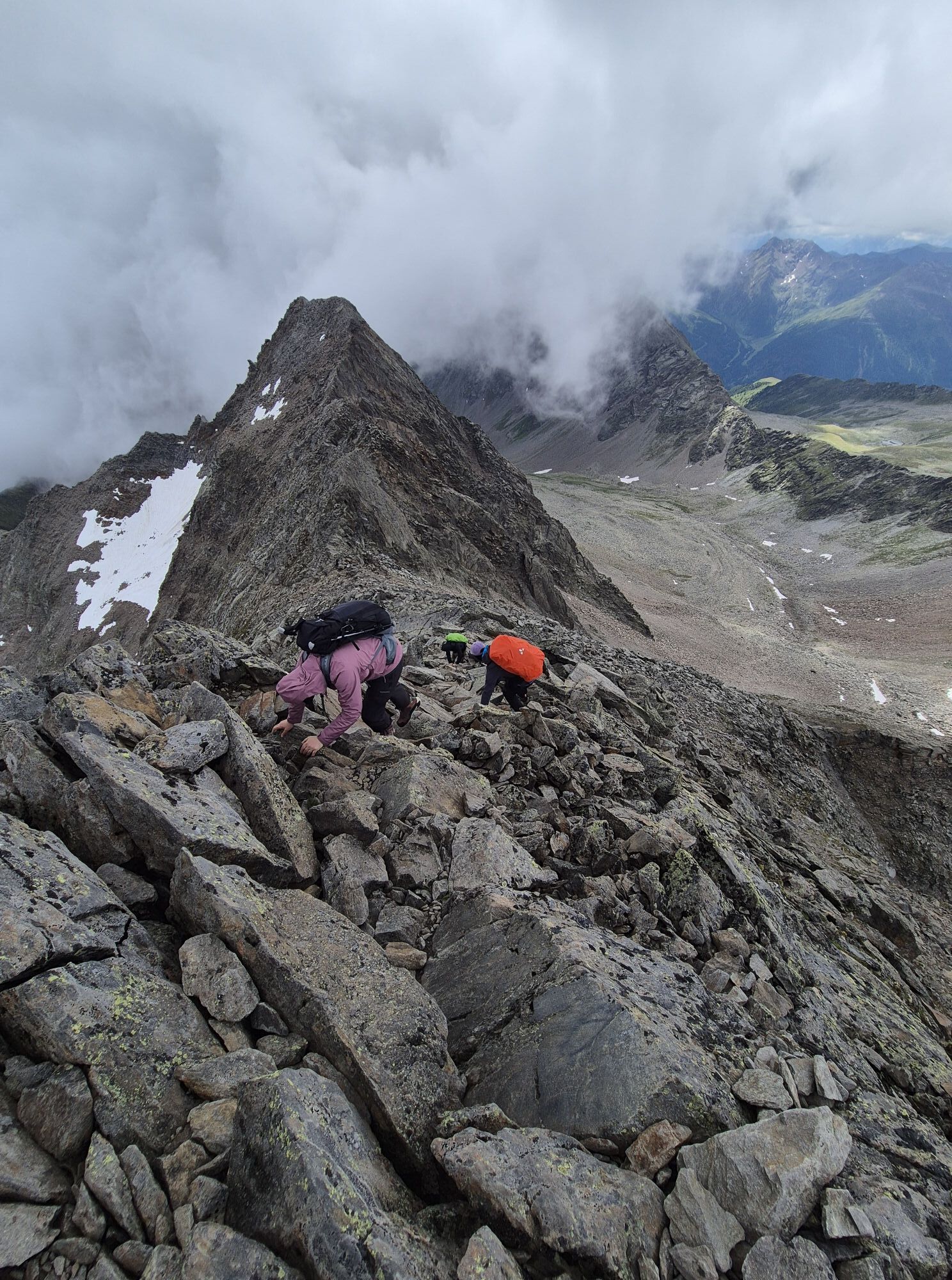
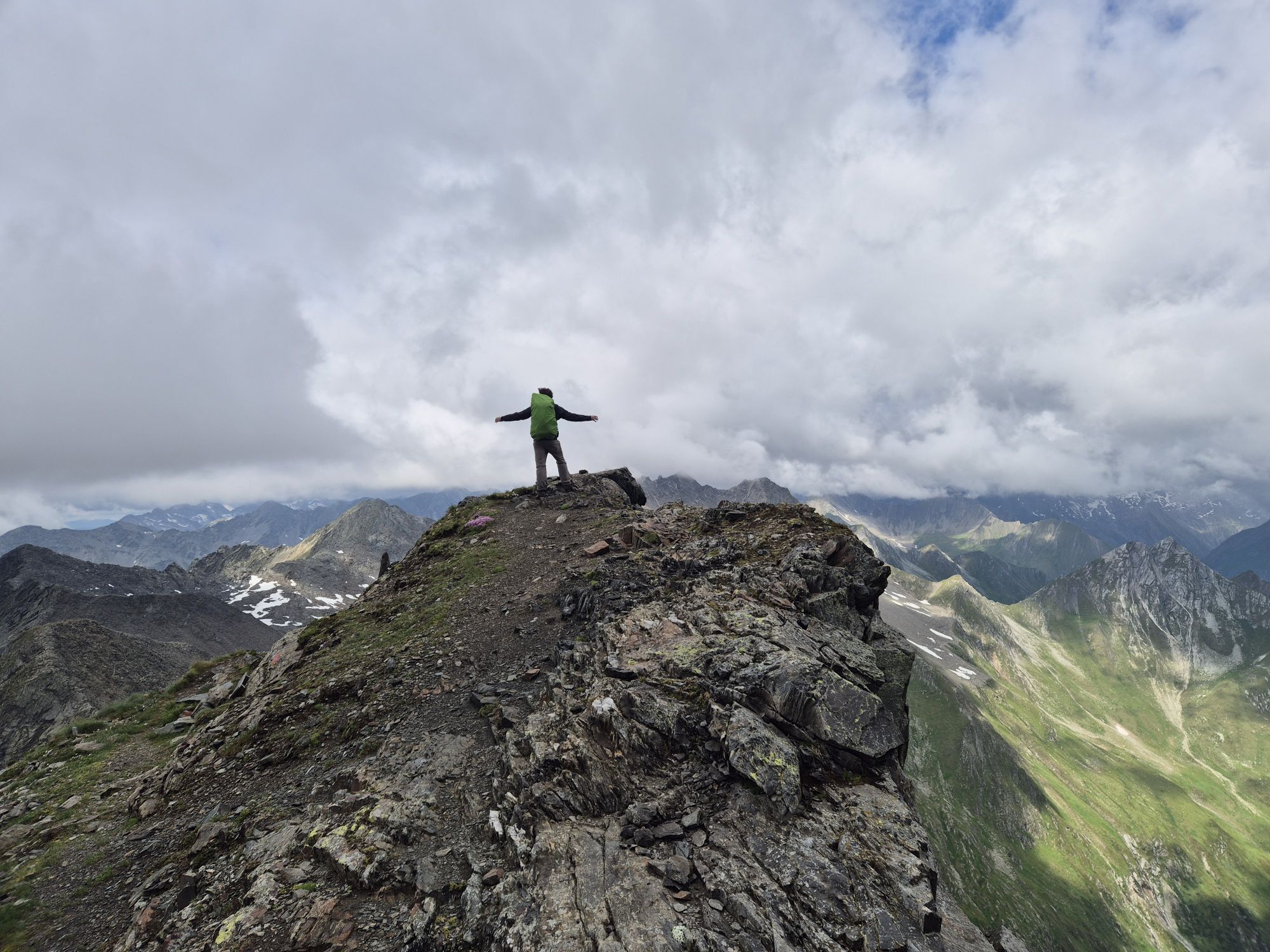
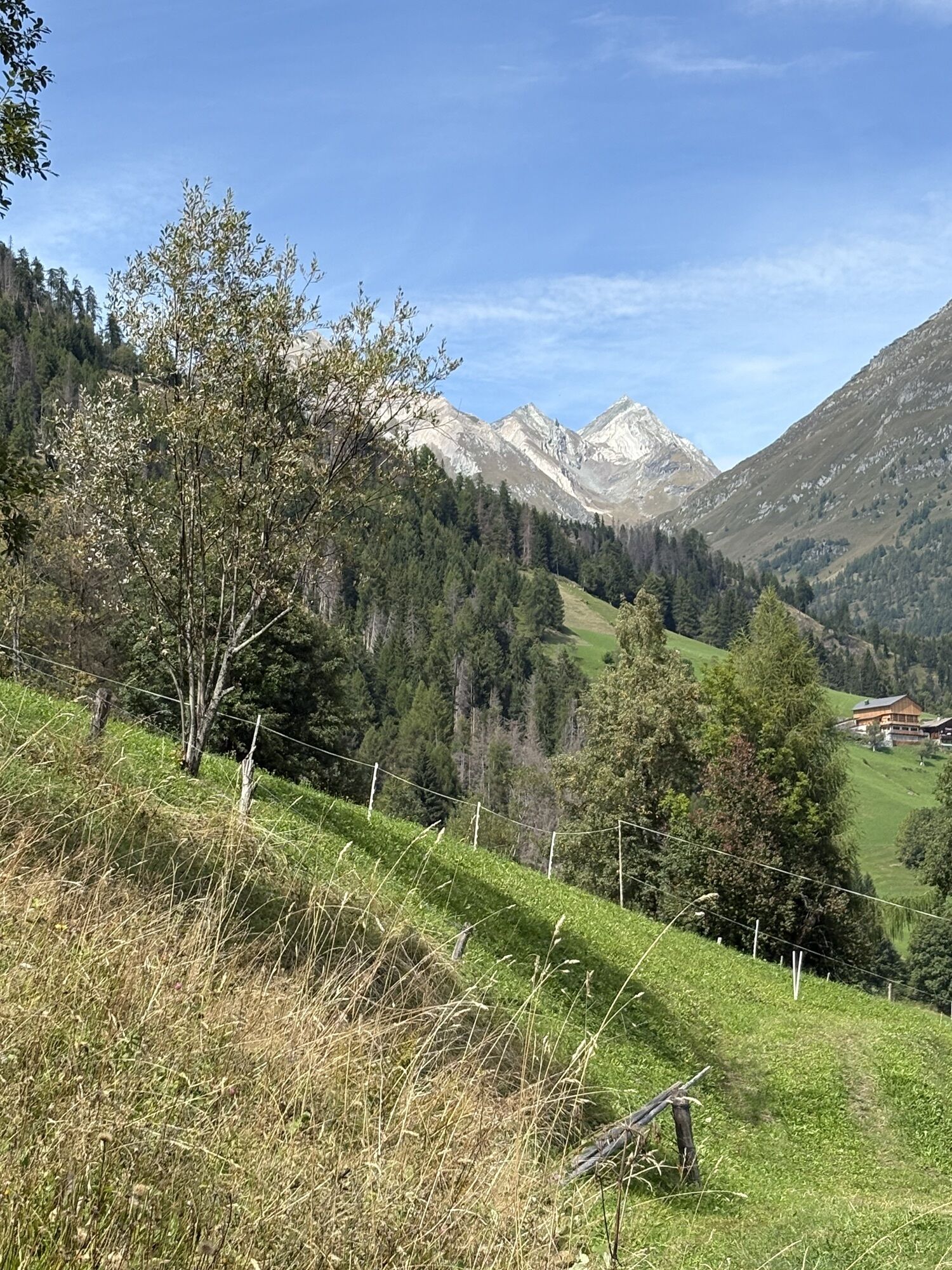
This demanding tour starts at the parking place "Lasörlinghütte" in the district Niedermauern. After the bridge, turn left and follow a moderately steep climb until reaching the wide forest path (after...
Description
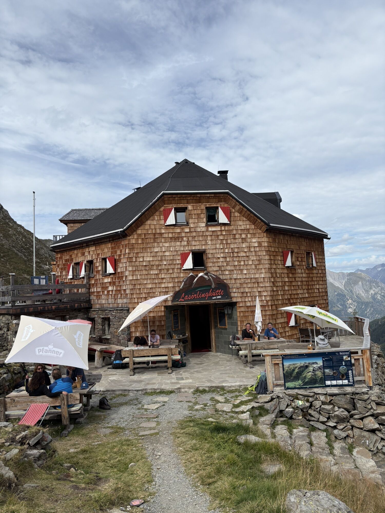
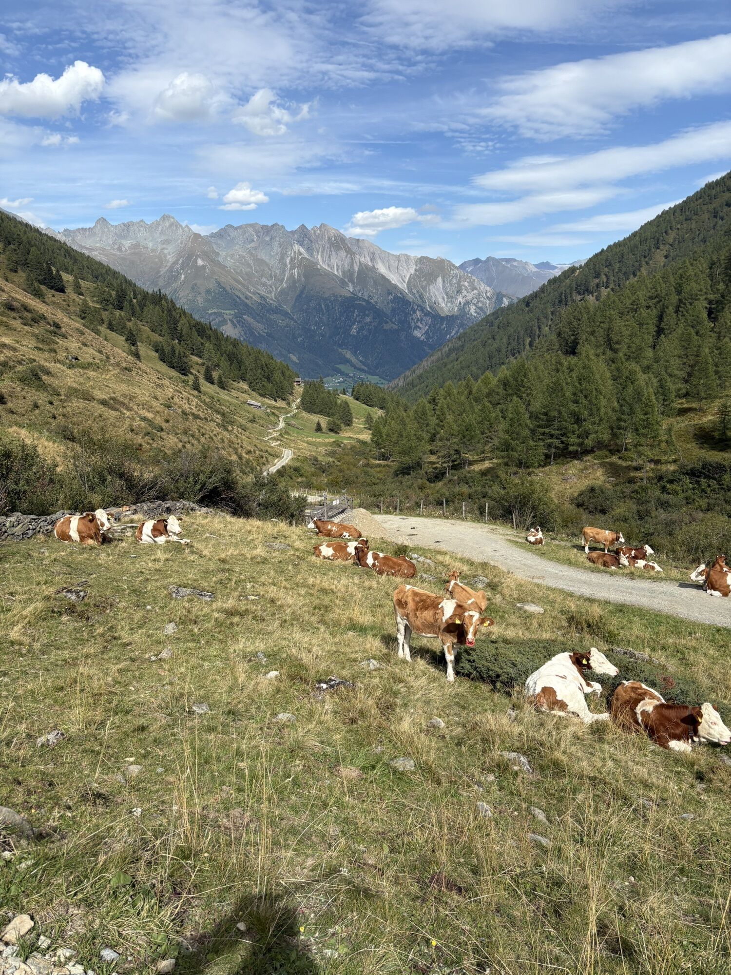
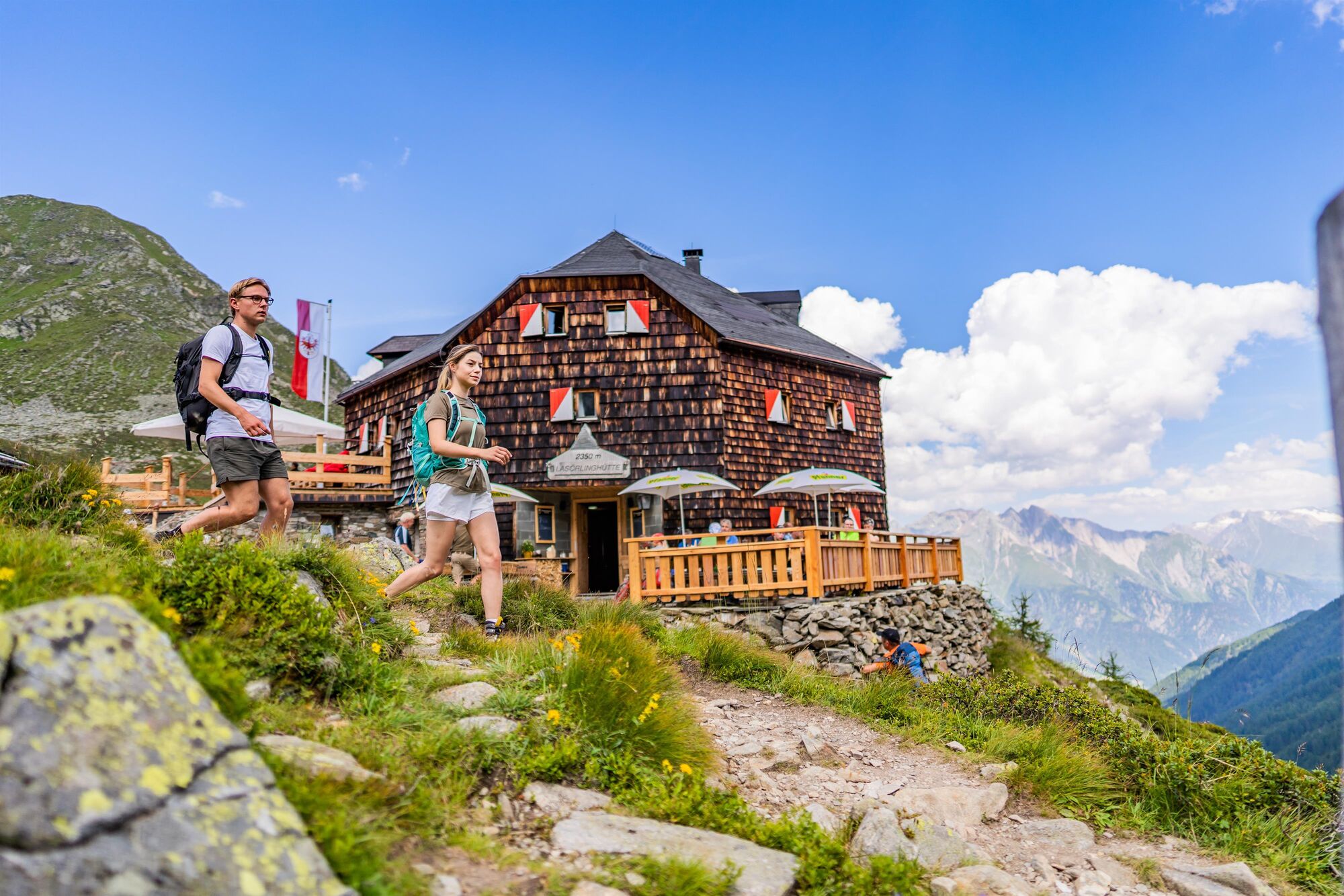
This demanding tour starts at the parking place "Lasörlinghütte" in the district Niedermauern. After the bridge, turn left and follow a moderately steep climb until reaching the wide forest path (after about 1km). At the end of the valley Mullitztal, after the goods lift of the hut Lasörlinghütte, the forest path rejoins a steep path that leads in several serpentines to the hut Lasörlinghütte. The fantastic view of the mountain range Venedigergruppe and regional delicacies invite you to take a short break.
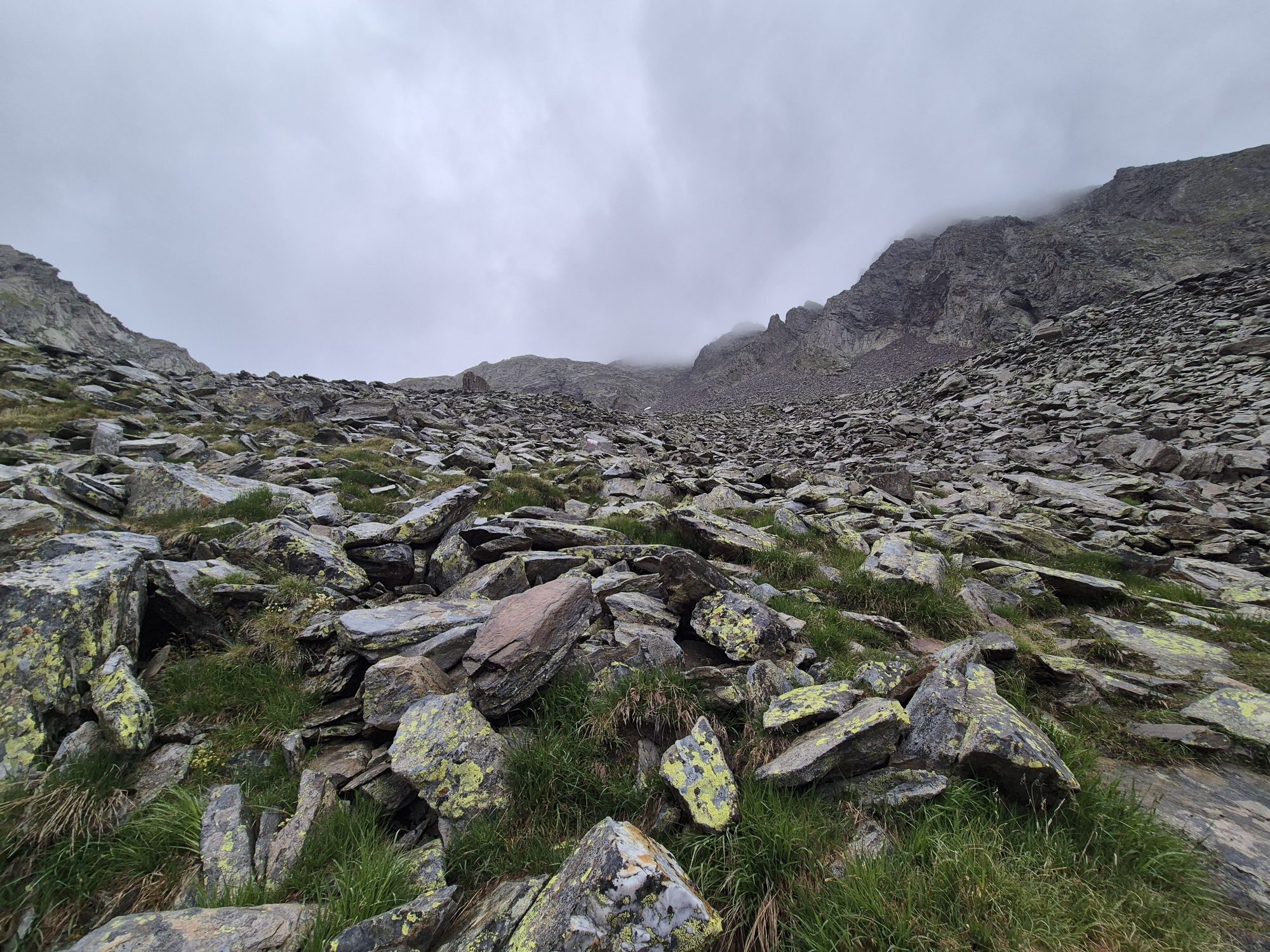
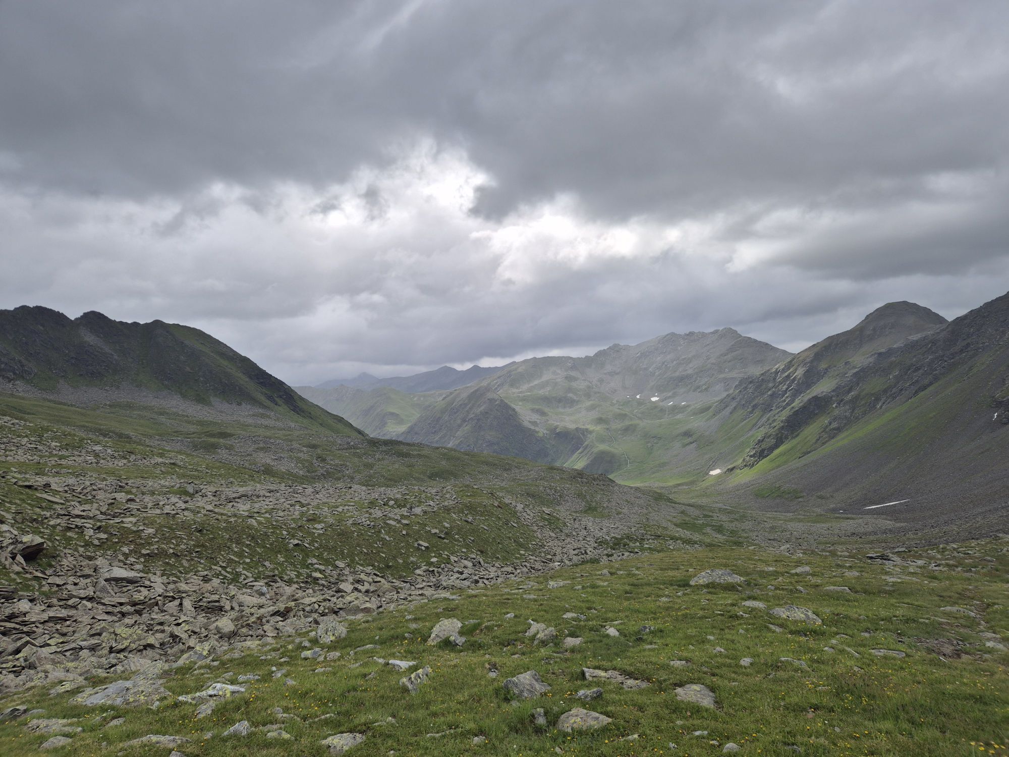
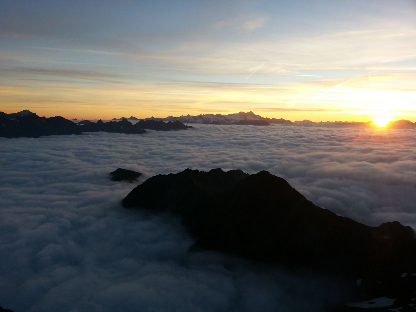
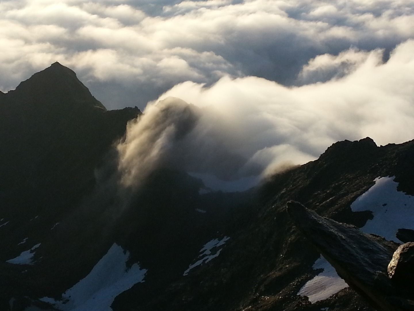
From here it takes about 3 hours to reach the summit. Follow the path Lasörling Höhenweg (No. 90) in a westerly direction. At the end of the valley, shortly before the striking ascent to the so-called Prägrater Törl, you have to turn right towards the summit Lasörling.This path leads over a scree. Continue following it and watch it become steeper and steeper. The last section leads past imposing boulders and finally ends at the summit of the Lasörling. The highest peak of the mountain range Lasörlinggruppe offers one of the best views of almost all 3.000-metre peaks in Osttirol and also of the South Tyrolean Dolomites.
From here it takes about 3 hours to reach the summit. Follow the path Lasörling Höhenweg (No. 90) in a westerly direction. At the end of the valley, shortly before the striking ascent to the so-called Prägrater Törl, you have to turn right towards the summit Lasörling.This path leads over a scree. Continue following it and watch it become steeper and steeper. The last section leads past imposing boulders and finally ends at the summit of the Lasörling. The highest peak of the mountain range Lasörlinggruppe offers one of the best views of almost all 3.000-metre peaks in Osttirol and also of the South Tyrolean Dolomites.
Parcours
Rain
(1 165 m)
Lotissement
0,0 km
Talstation
(2 026 m)
Station de télécabines
6,5 km
Lasörlinghütte
(2 293 m)
Refuge
7,5 km
Materialseilbahn Lasörlinghütte
(2 295 m)
Station de télécabines
7,5 km
Lasörling
(3 098 m)
Sommet
11,3 km
Lasörlinghütte
(2 293 m)
Refuge
15,0 km
Rain
(1 165 m)
Lotissement
22,6 km
Parcours
Lasörling 3.098m (ascent Virgen)
difficile
Randonnée d'altitude
22,64
km
Rain
(1 165 m)
Lotissement
0,0 km
Talstation
(2 026 m)
Station de télécabines
6,5 km
Lasörlinghütte
(2 293 m)
Refuge
7,5 km
Materialseilbahn Lasörlinghütte
(2 295 m)
Station de télécabines
7,5 km
Lasörling
(3 098 m)
Sommet
11,3 km
Materialseilbahn Lasörlinghütte
(2 295 m)
Station de télécabines
15,0 km
Lasörlinghütte
(2 293 m)
Refuge
15,0 km
Talstation
(2 026 m)
Station de télécabines
16,1 km
Rain
(1 165 m)
Lotissement
22,6 km

Dernier suivi
il y a une semaine

Informations sur l'itinéraire
Itinéraire
Lienz: Huben - Matrei - Virgen - Niedermauern
Felbertauern: Matrei - Virgen - Niedermauern
Felbertauern: Matrei - Virgen - Niedermauern
Transports en commun
Bus stop Virgen Kirche
Parking
Car park Lasörlinghütte
Évaluations
 Obtenez un aperçu Toujours en direct avec plus de 9.500 webcams. En tant qu'utilisateur Pro, vous pouvez désormais voir les webcams correspondantes à de nombreuses randonnées dans l'application de randonnées de bergfex. Vous pouvez ainsi voir directement les conditions actuelles.
Activités le long du parcours


Parcours populaires à proximité
- 4,8
NaturKraftWeg Umbalfälle
facileChemin thématique 5,99 km - 4,5
Circular hike Proßeggklamm
moyenRandonnée 8,41 km - 4,8
Stoden - Clarahütte
moyenRandonnée 7,12 km - 4,8
Circular hike suspension bridge Isel Canyon via "Hohe Bank"
moyenRandonnée 8,11 km - 4,7
Wiesbauerspitze 2.767 m
moyenRandonnée 9,66 km - 4,3
Seespitze
moyenRandonnée 13,7 km - 5,0
Muhs-Panoramaweg
moyenRandonnée 14,0 km - 4,5
Proseggklamm
facileRandonnée 4,75 km - 5,0
Trojertal, Hintere Trojeralm
facileRandonnée 8,97 km - 5,0
Glockner Crown Stage 1
moyenRandonnée 8,16 km
Randonnée et suivi

Plus de 550.000 propositions de circuits, des cartes détaillées et un planificateur d'itinéraire intuitif font de cette application un must pour tous les passionnés de nature.

Ne manquez pas les offres et l'inspiration pour vos prochaines vacances
S'inscrire à la newsletter
Erreur
Une erreur s'est produite. Veuillez réessayer.Merci pour votre inscription
Votre adresse électronique a été ajouté à la liste de diffusion.
Parcours en Europe
Autriche Suisse Allemagne Italie Slovénie France Pays-Bas Belgique Pologne Liechtenstein République tchèque Slovaquie Espagne Croatie Bosnie-Herzégovine Luxembourg Andorre Portugal Islande Royaume-Uni Irlande Grèce Albanie Macédoine du Nord Malte Norvège Monténégro Moldavie Kosovo Hongrie Saint-Marin Roumanie Estonie Lettonie Bélarus Chypre Lituanie Serbie Bulgarie Monaco Danemark Suède Finlande





