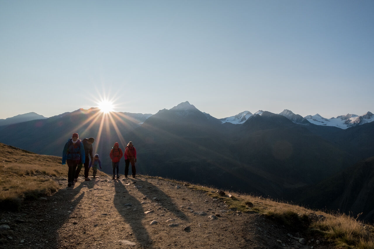
Sölden - Breslauer Hütte
moyen
Naviguer
Naviguer
Télécharge cette visite sur ton portable
Sölden - Breslauer Hütte
moyen
Randonnée d'altitude
12,63
km
Scanner le code QR et commencer la navigation dans l'application bergfex

Randonnée & tracking


Sölden - Breslauer Hütte
moyen
Distance
12,63
km
Durée
04:30
h
Ascension
716
m
Altitude
2.167 -
2.815
m
Téléchargement de la piste
Sölden - Breslauer Hütte
moyen
Randonnée d'altitude
12,63
km
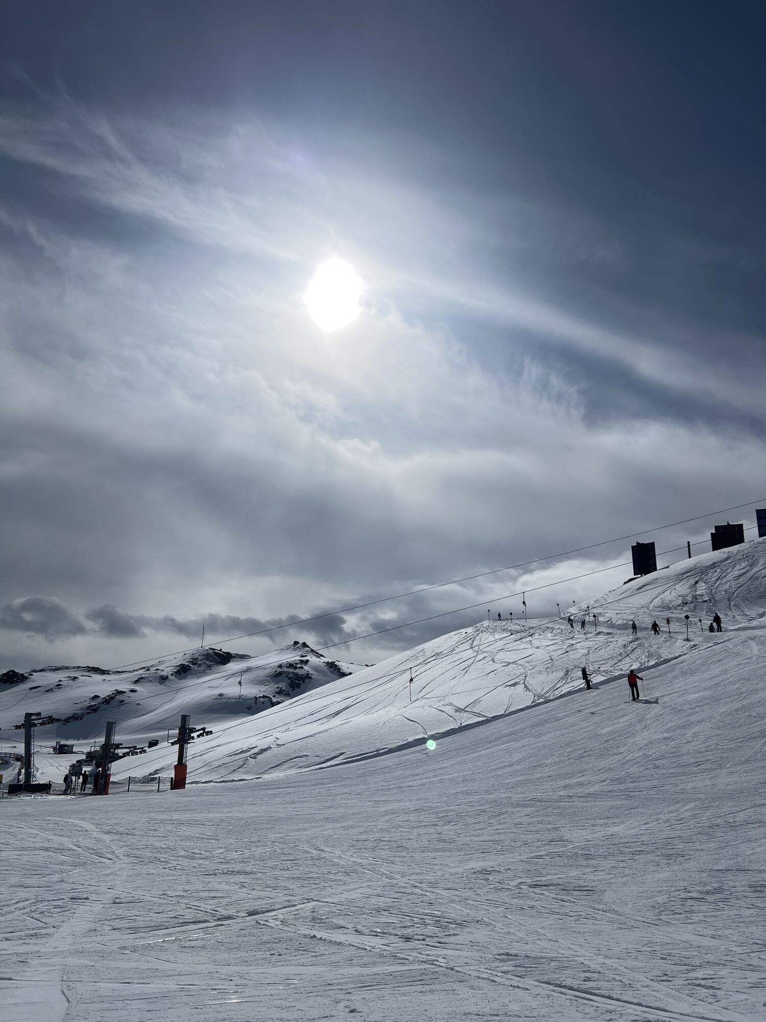
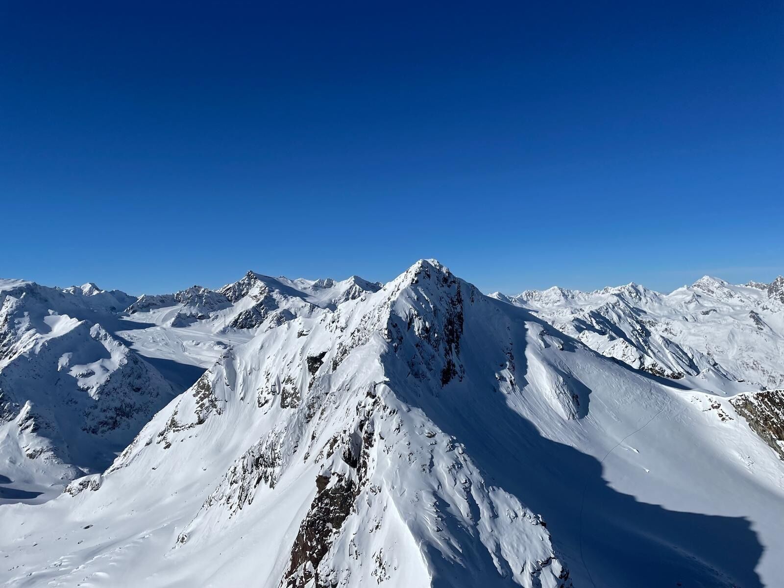
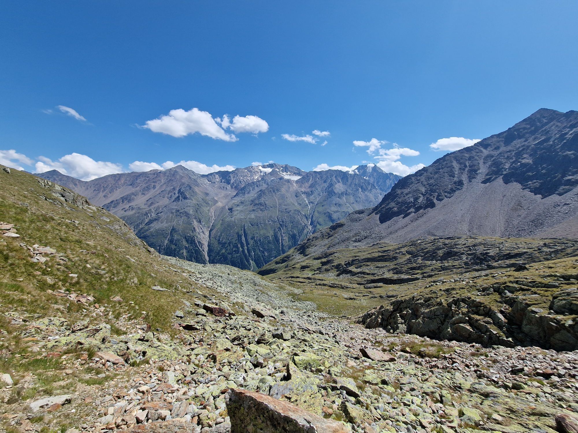
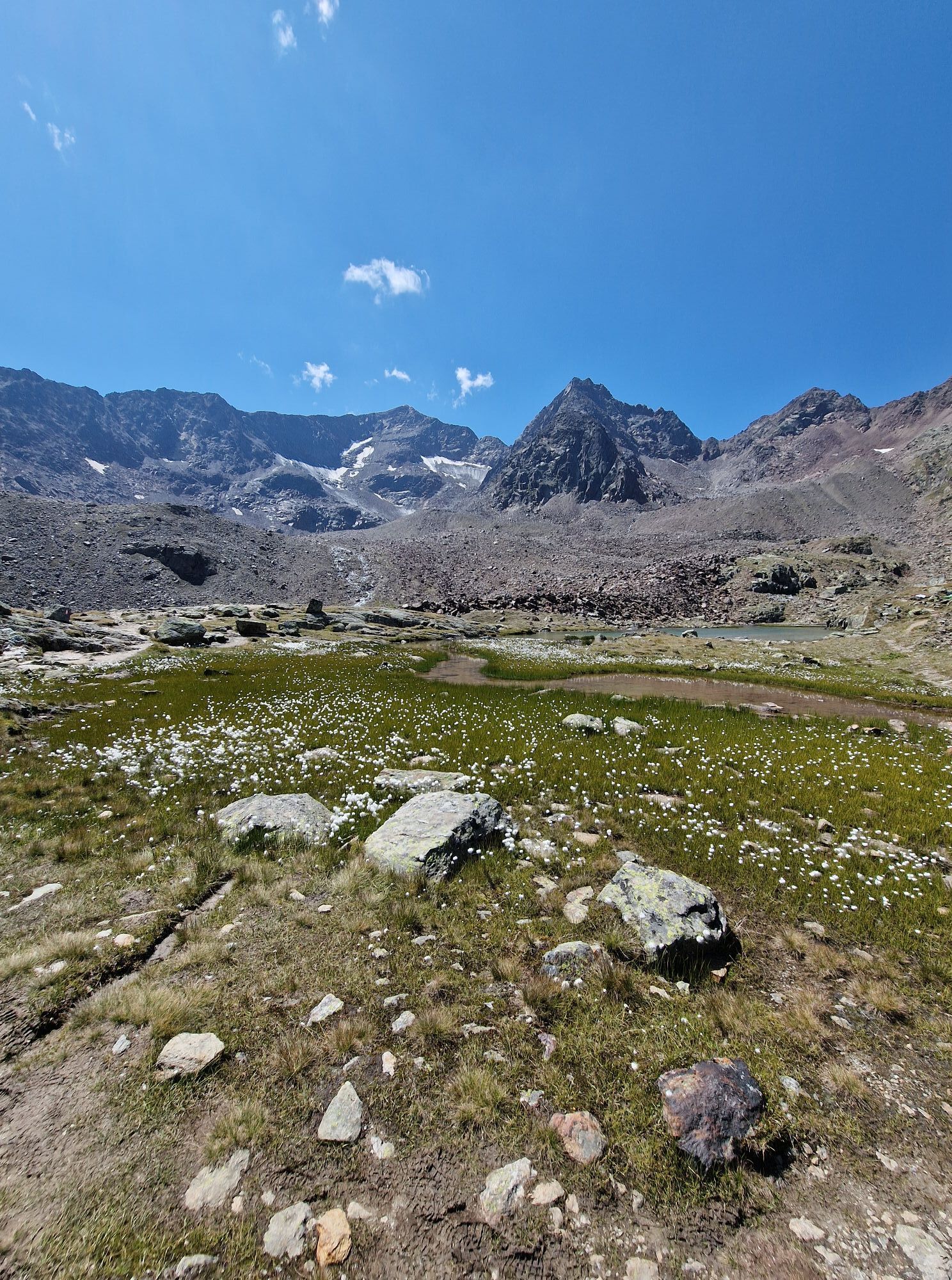
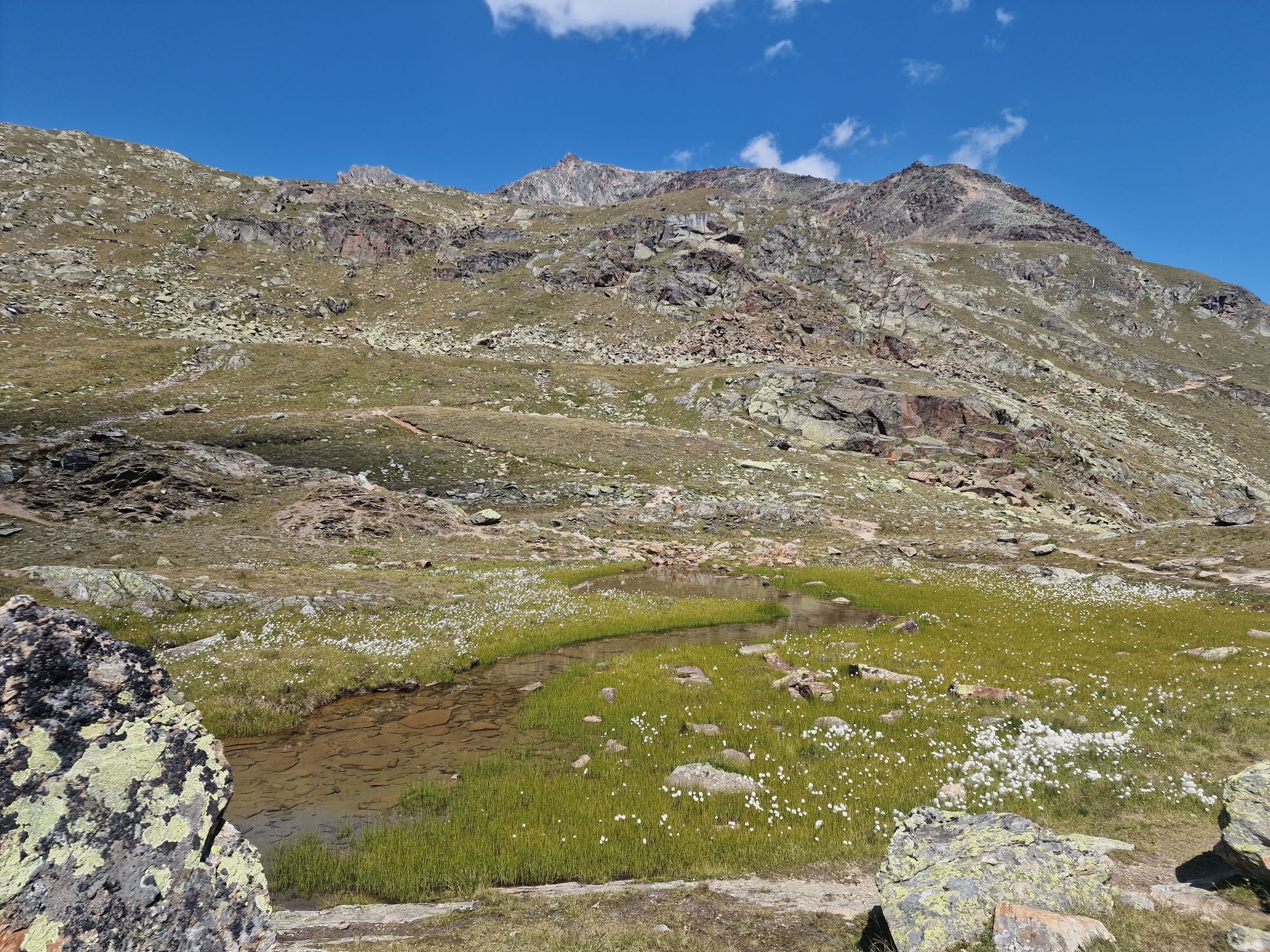
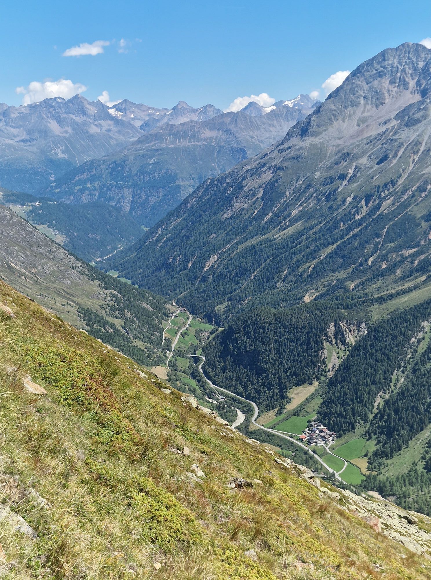
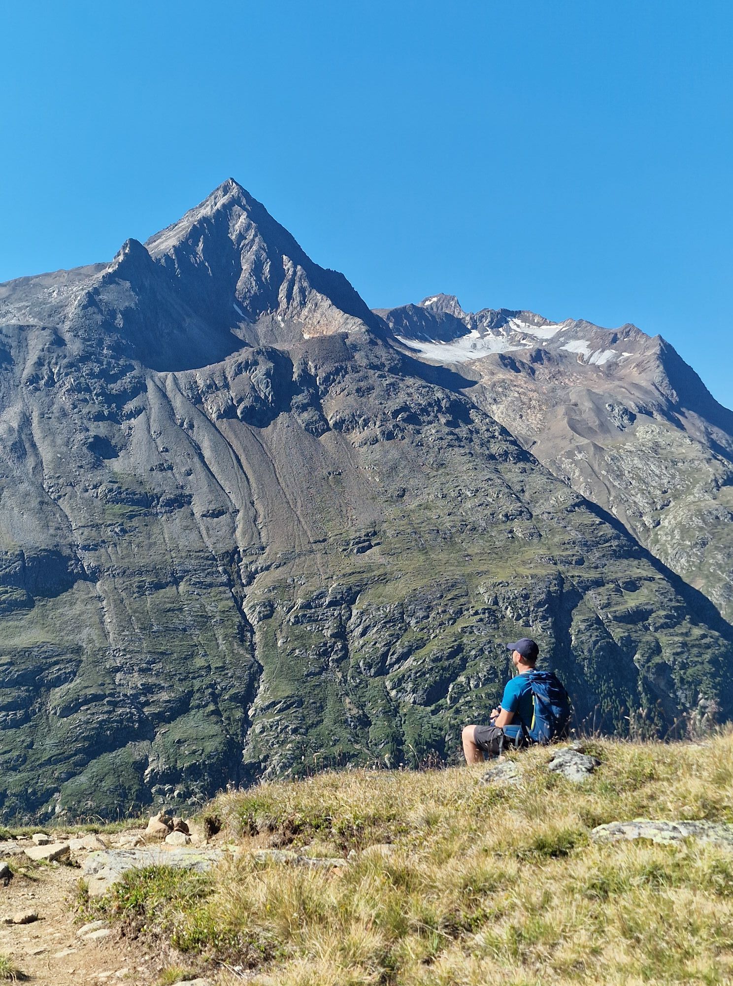
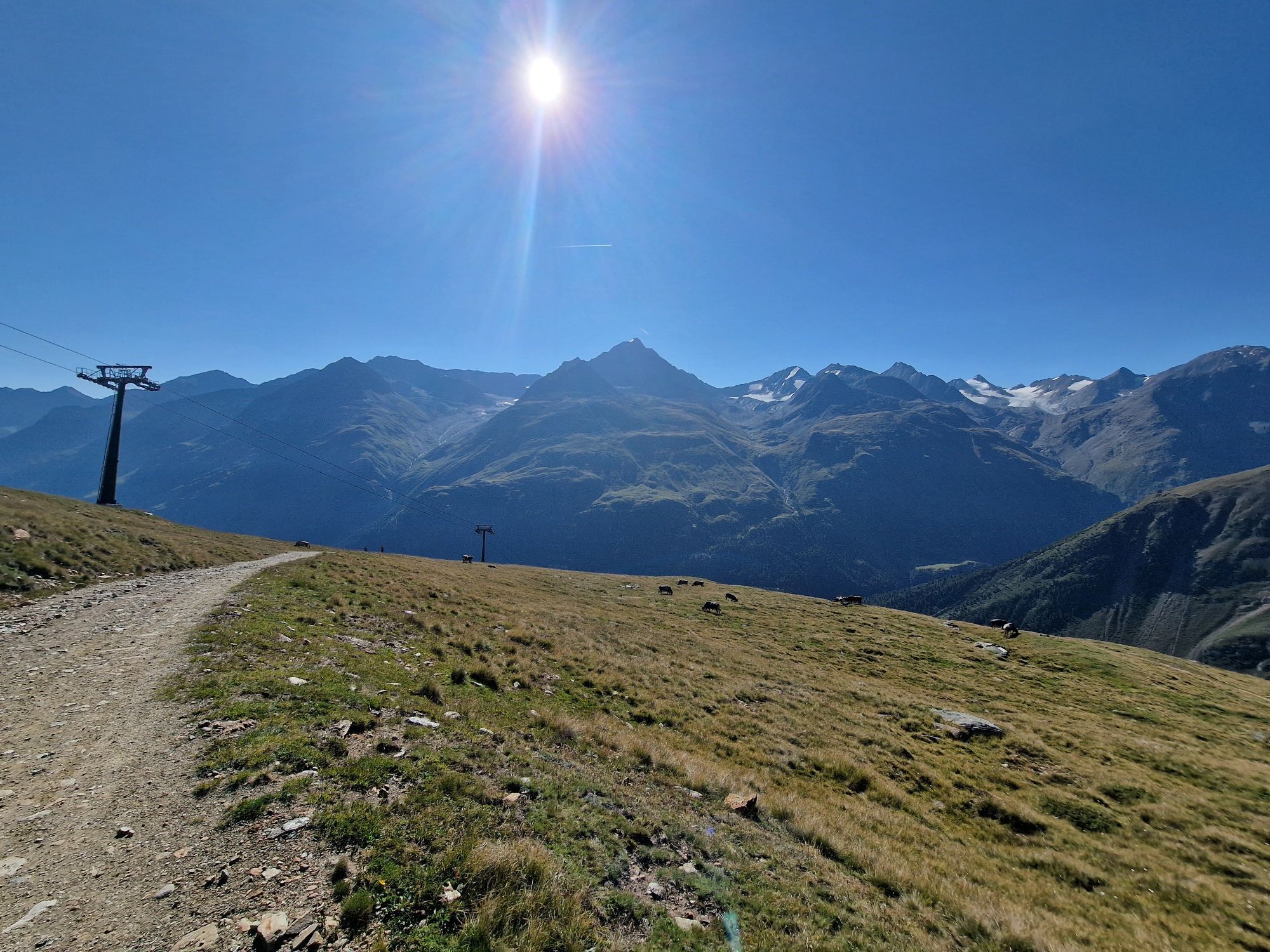
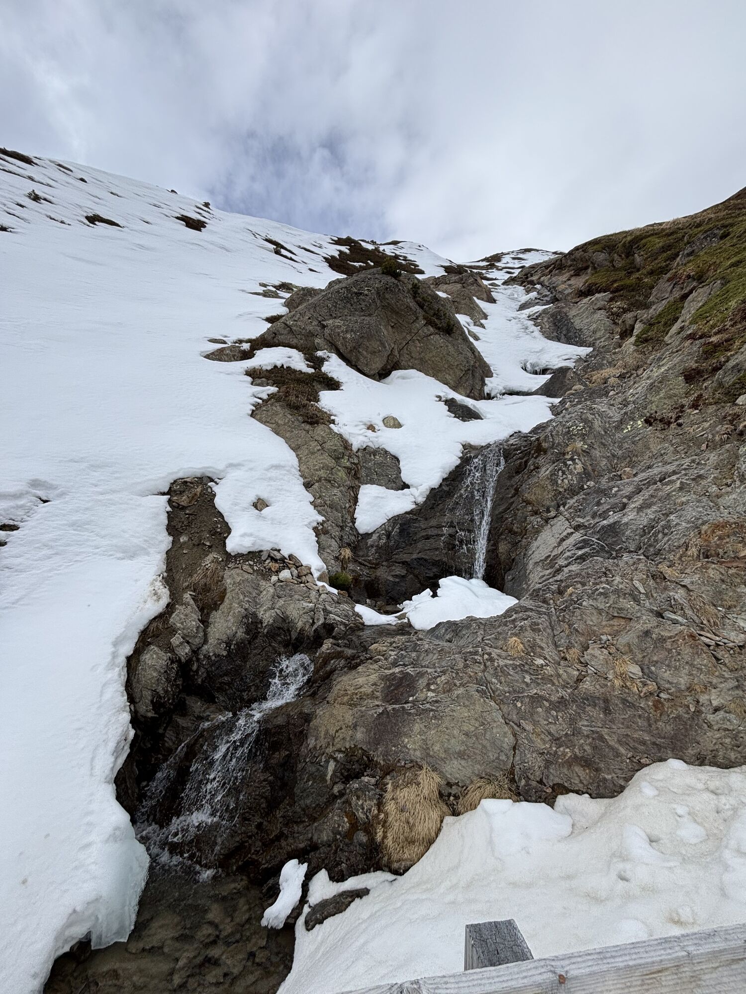
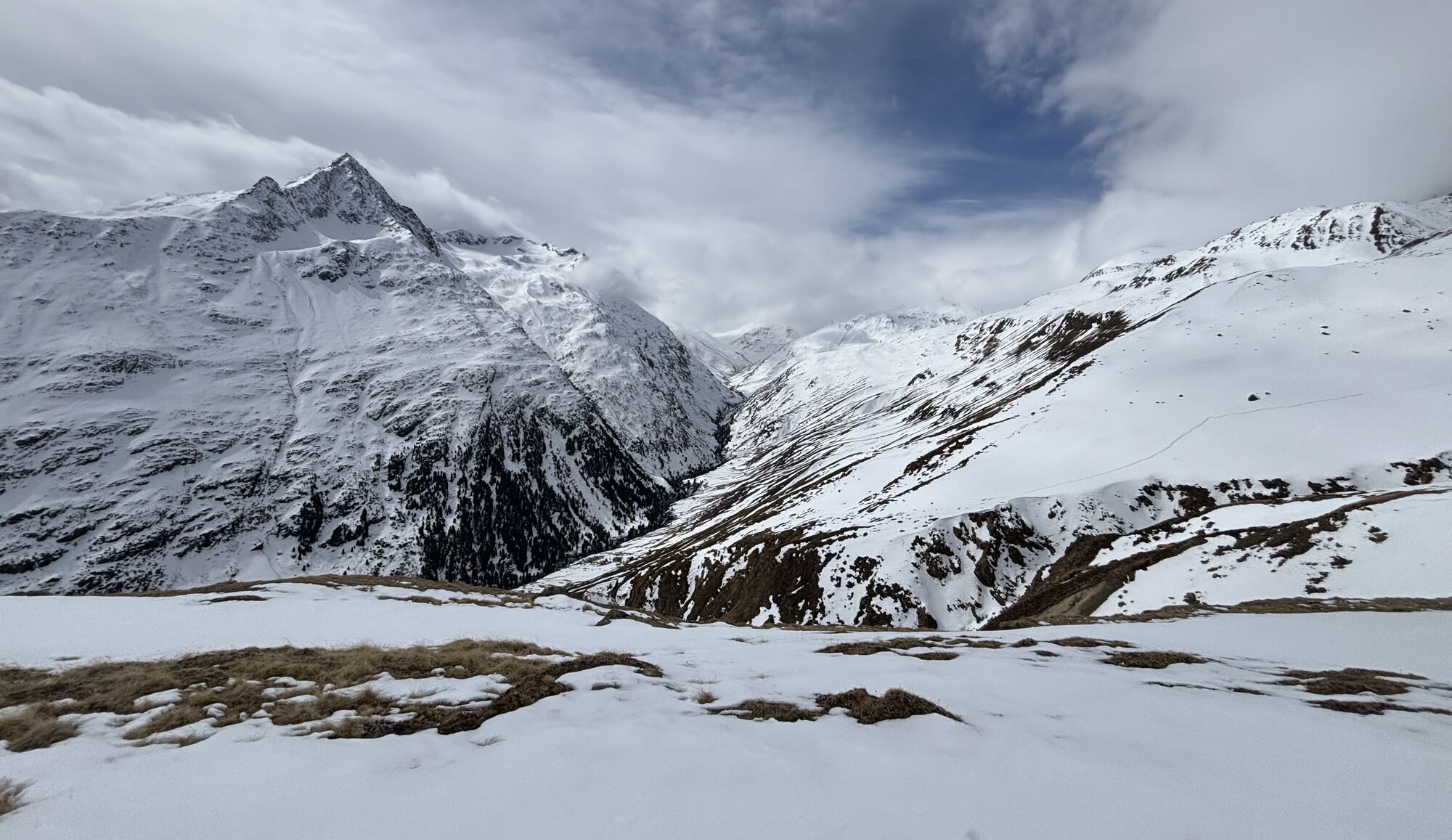
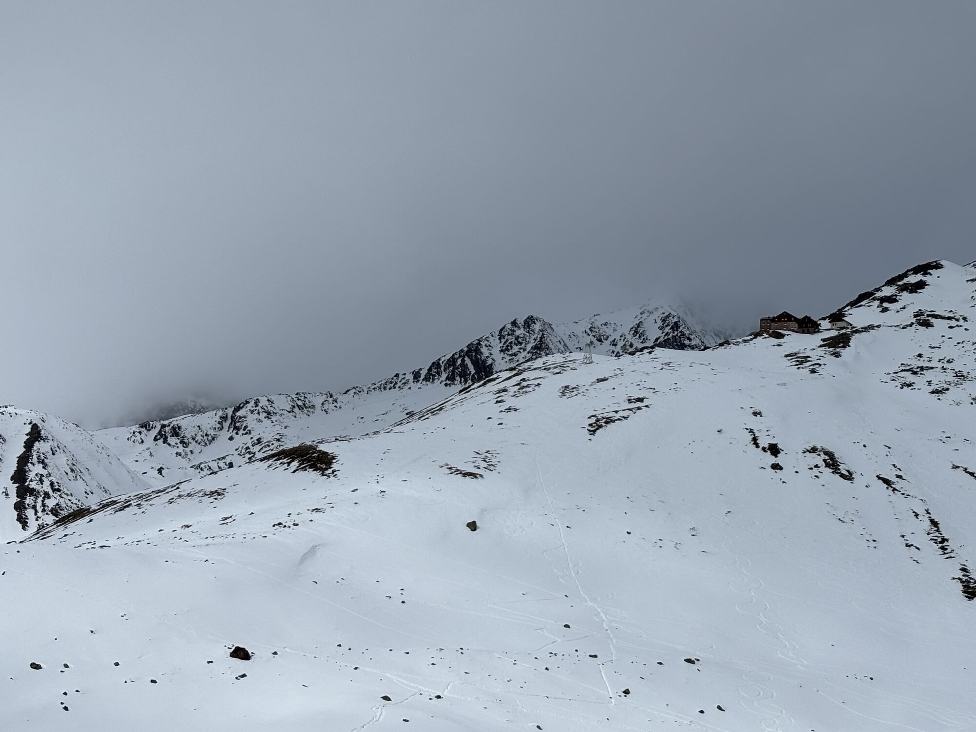
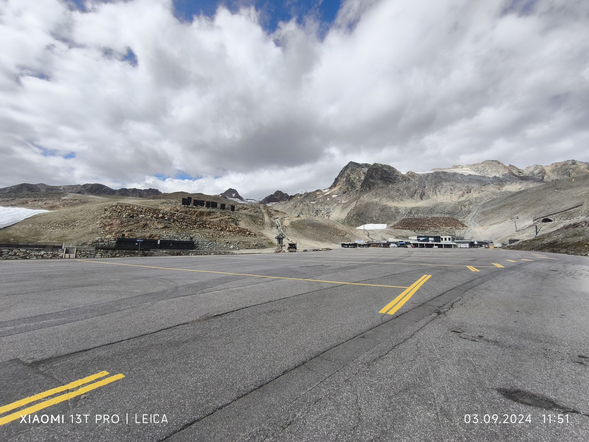
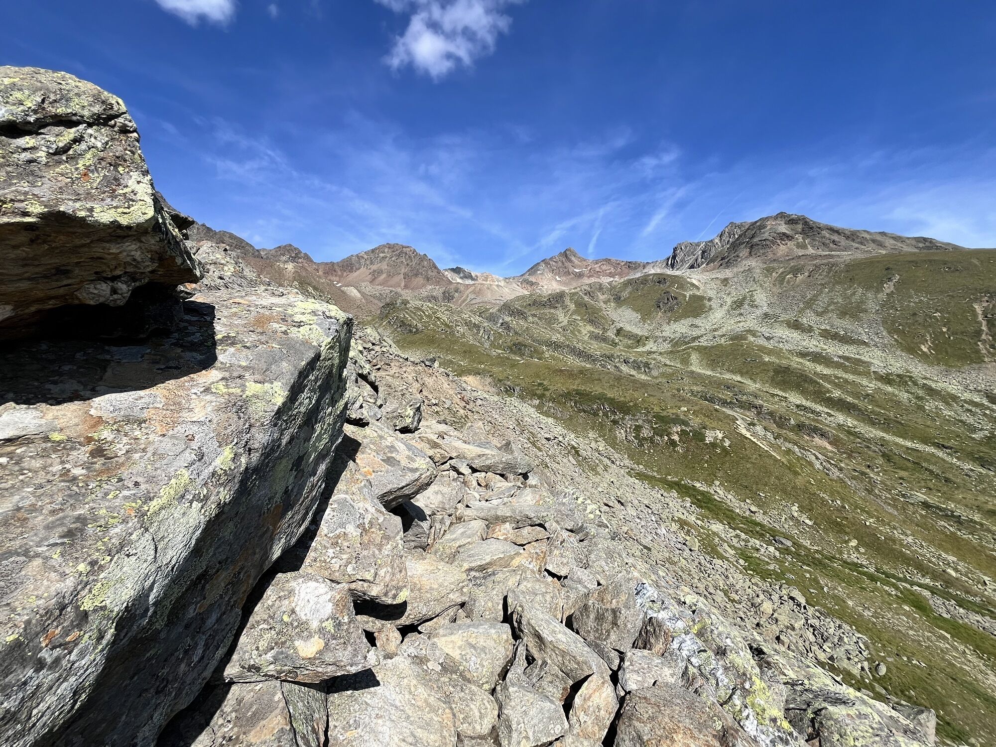
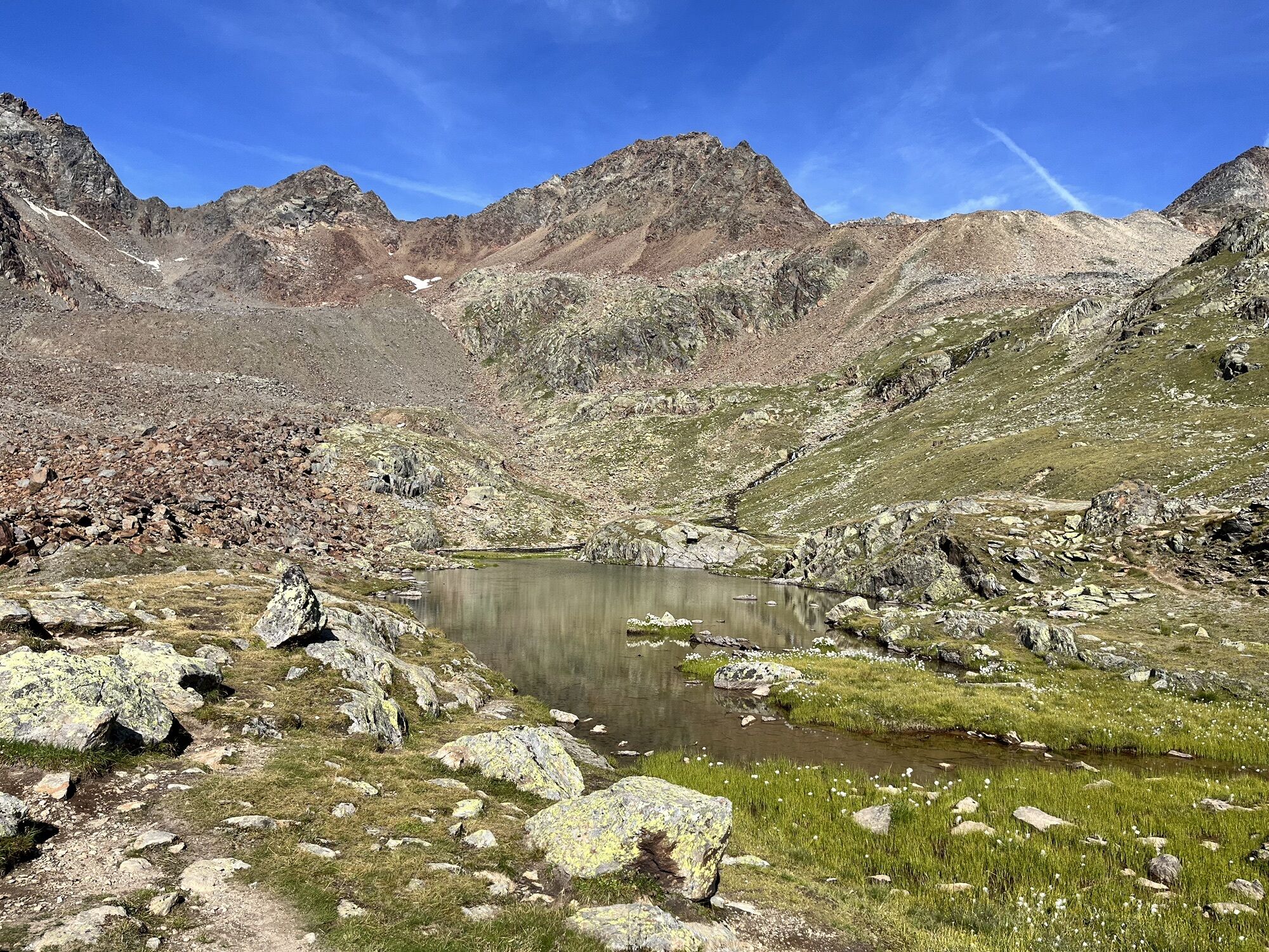
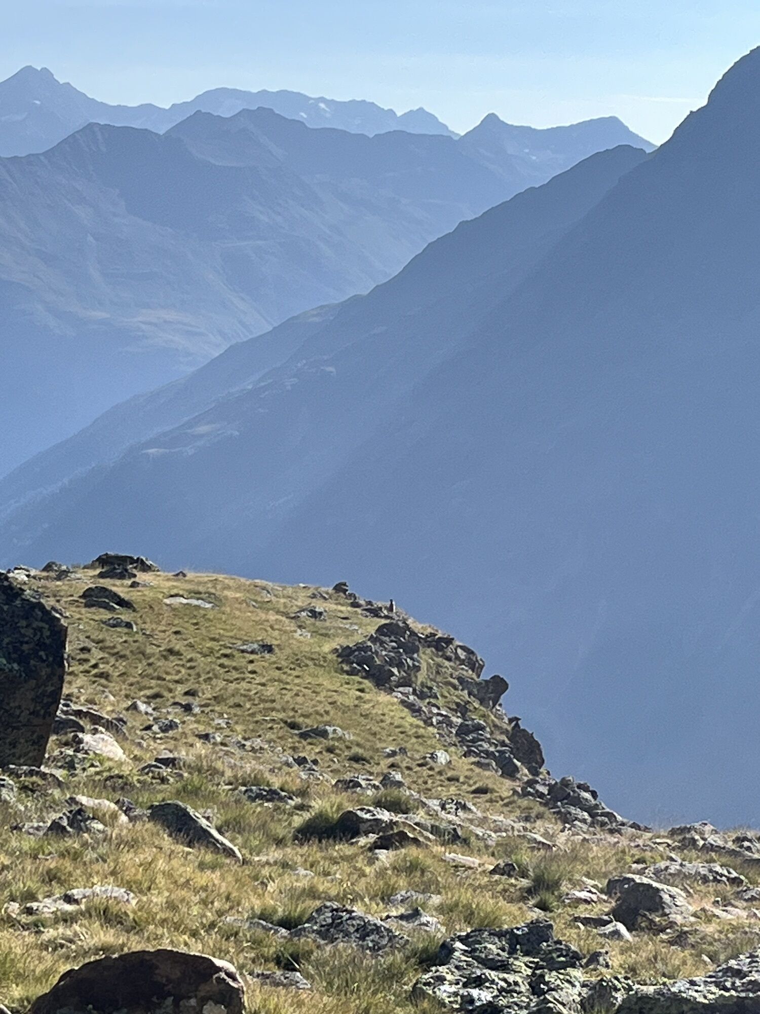
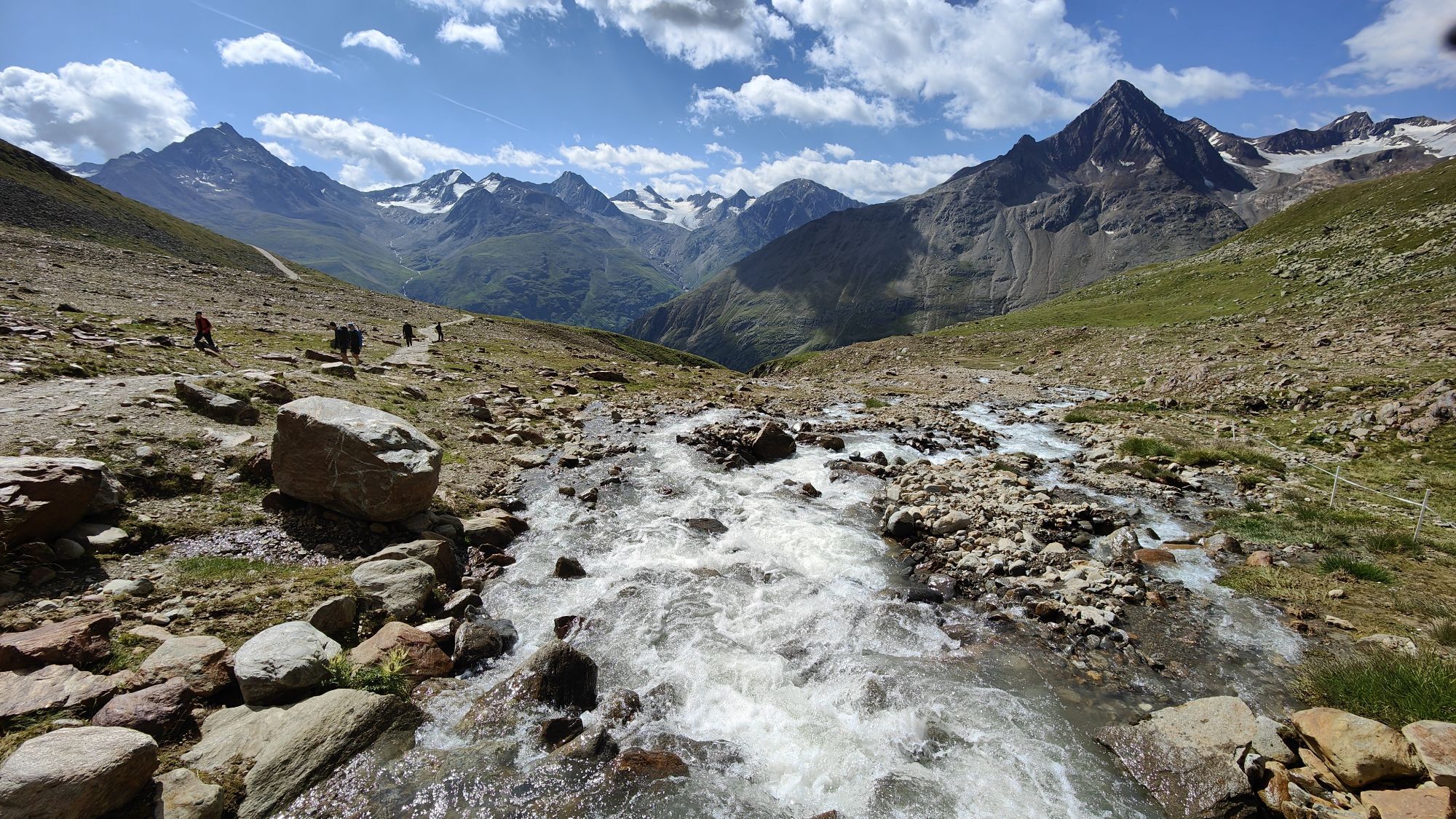
Photos de nos utilisateurs

 © Peter NinauszCréé le 08.04.2026
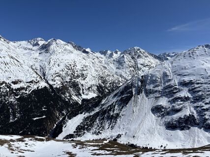 © Peter NinauszCréé le 08.04.2026
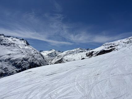 © Peter NinauszCréé le 08.04.2026
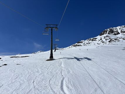 © Peter NinauszCréé le 08.04.2026
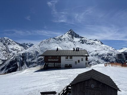 © Peter NinauszCréé le 08.04.2026
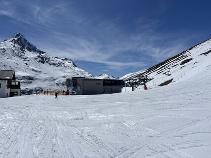 © Peter NinauszCréé le 08.04.2026
 © Agnieszka ScholzCréé le 02.03.2026
 © Michael FreudenreichCréé le 01.02.2026
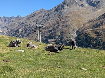
 © Sabrina HackelCréé le 20.09.2025
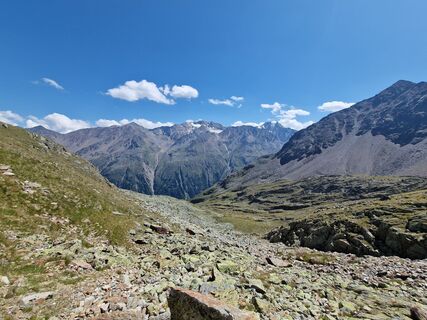
 © okidoki1980Créé le 09.08.2025
 © okidoki1980Créé le 09.08.2025
 © okidoki1980Créé le 09.08.2025
 © okidoki1980Créé le 09.08.2025
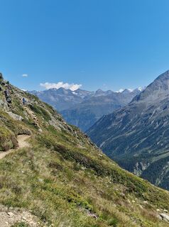 © okidoki1980Créé le 09.08.2025
 © okidoki1980Créé le 09.08.2025
 © okidoki1980Créé le 09.08.2025
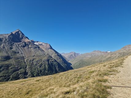 © okidoki1980Créé le 09.08.2025
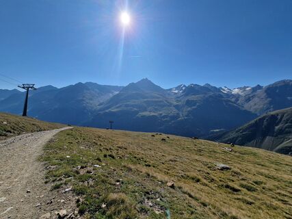 © okidoki1980Créé le 09.08.2025
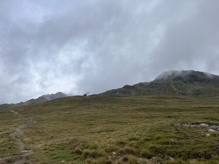
 © Jonas KaufmannCréé le 31.07.2025
 © Marion FalknerCréé le 22.03.2025
 © Marion FalknerCréé le 22.03.2025
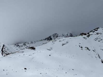 © Marion FalknerCréé le 22.03.2025
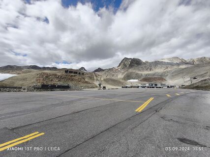
 © Karl-HeinzCréé le 03.09.2024
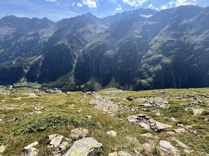
 © Elli RieckCréé le 30.08.2024
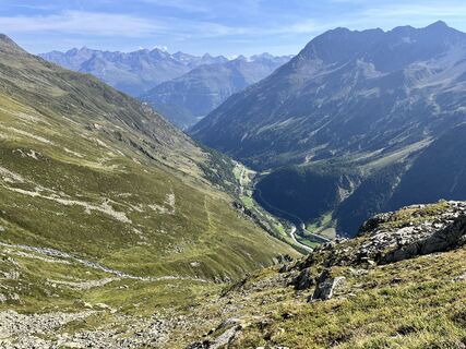 © Elli RieckCréé le 30.08.2024
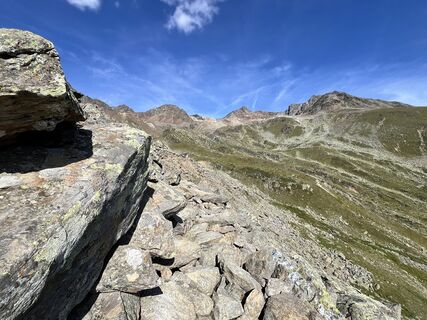 © Elli RieckCréé le 30.08.2024
 © Elli RieckCréé le 30.08.2024
 © Elli RieckCréé le 30.08.2024
 © Andreas SchlosserCréé le 20.07.2023
 © Andreas SchlosserCréé le 20.07.2023
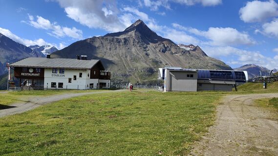 © Andreas SchlosserCréé le 20.07.2023
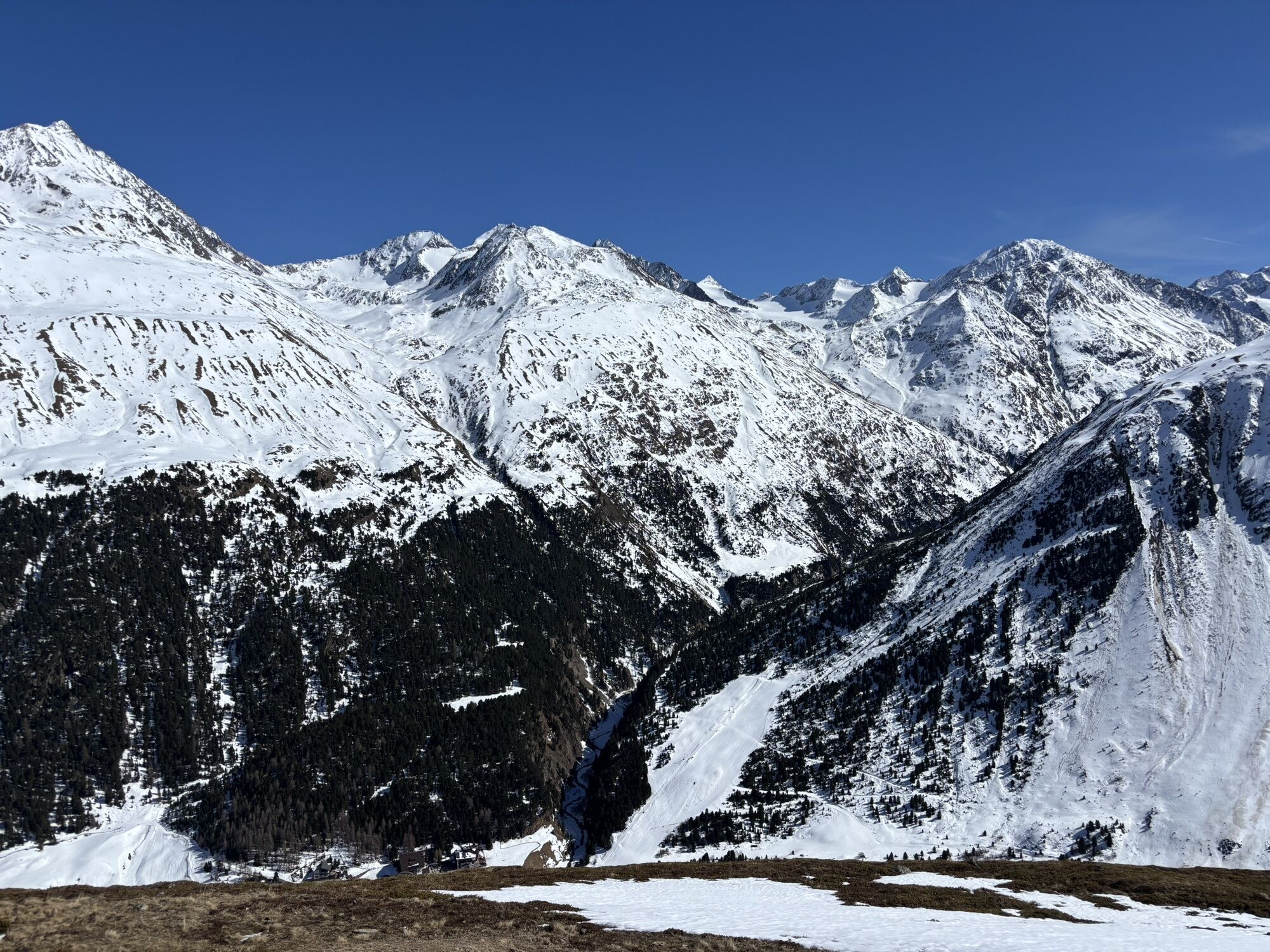
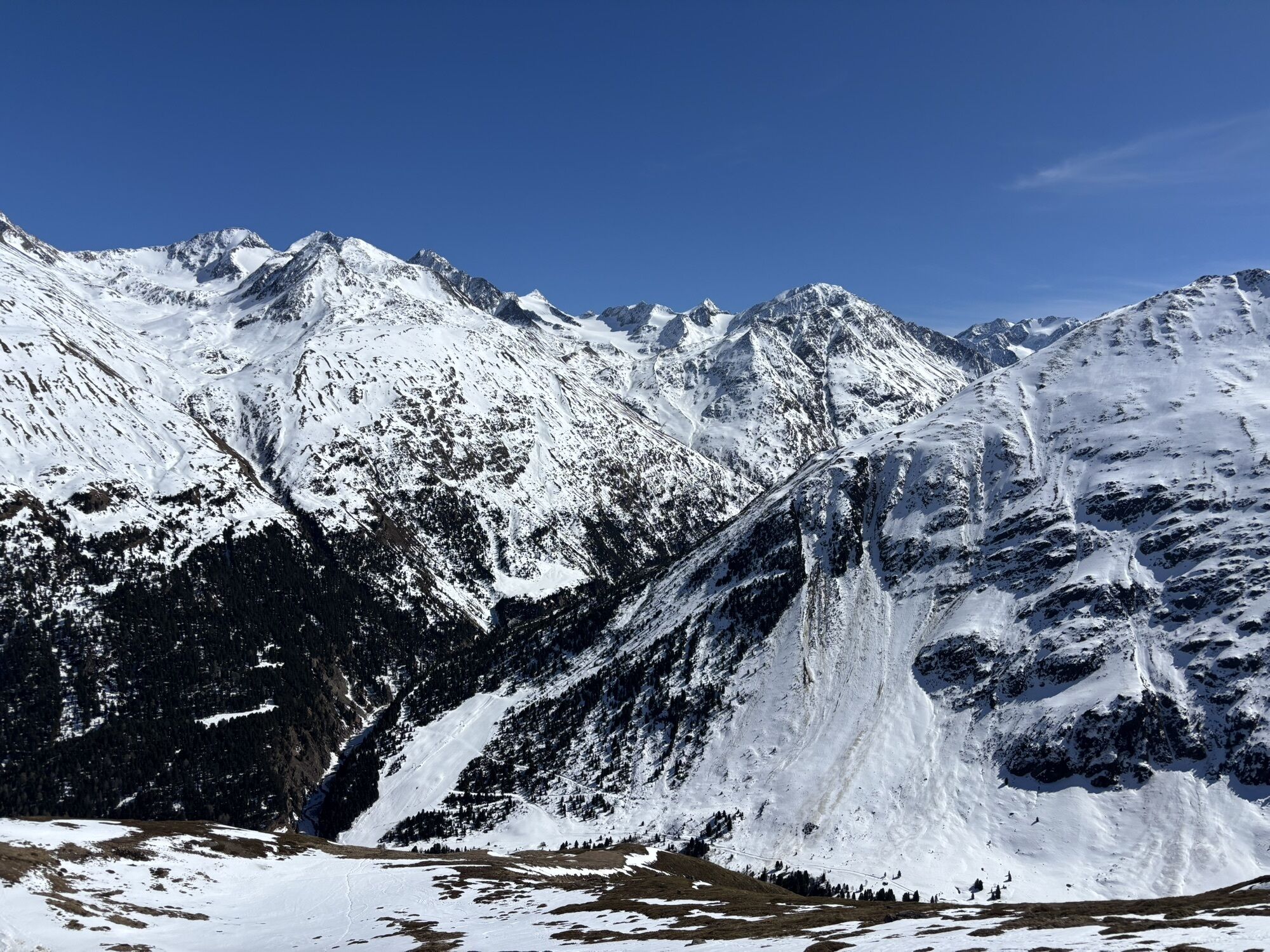


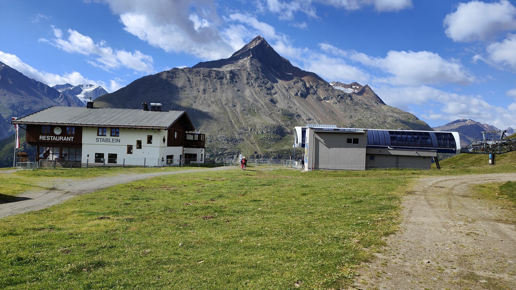
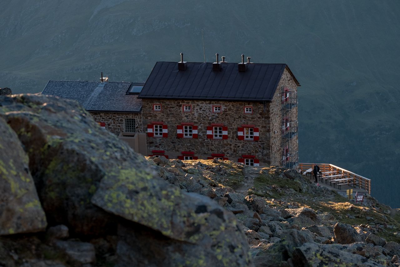
Sölden (1.68 m) - Restaurant Tiefenbach (bus ride) (2.789 m) - Breslauer Hut (2.844 m)
Bus ride from Sölden to Tiefenbach glacier - the trail travels above the Venter Tal valley and climbs moderately up...
Description
Sölden (1.68 m) - Restaurant Tiefenbach (bus ride) (2.789 m) - Breslauer Hut (2.844 m)
Bus ride from Sölden to Tiefenbach glacier - the trail travels above the Venter Tal valley and climbs moderately up to Stableinalm hut and (partly steep) on to Breslauer hut.
Parcours
Tiefenbachgletscher SB Restaurant
(2.792 m)
Restaurant
0,0 km
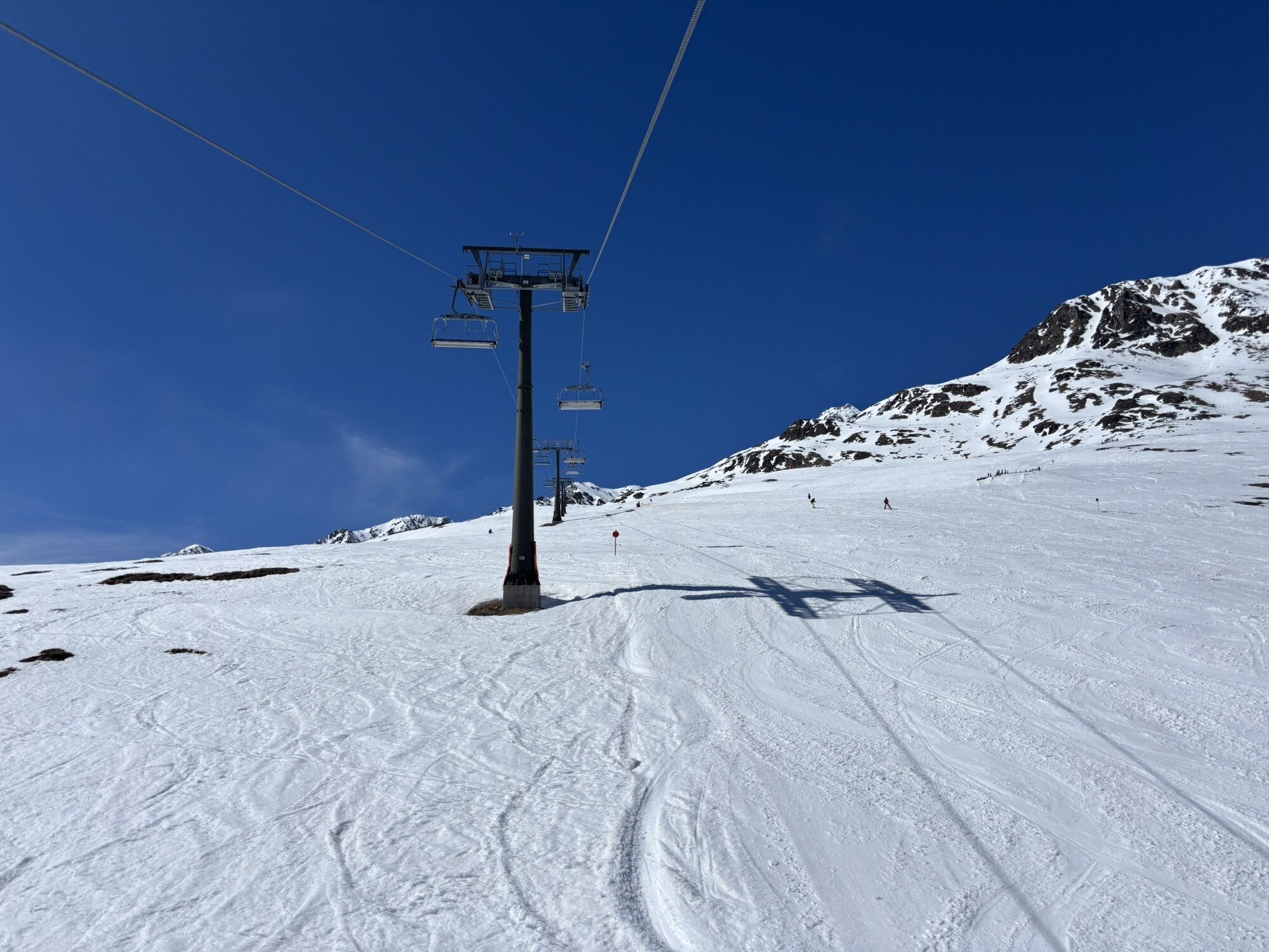
Tiefenbachbahn
(2.791 m)
Station de télécabines
0,0 km
Panoramarestaurant Stablein
(2.353 m)
Restaurant
10,1 km
Parcours
Sölden - Breslauer Hütte
moyen
Randonnée d'altitude
12,63
km
Tiefenbachgletscher SB Restaurant
(2.792 m)
Restaurant
0,0 km
Tiefenbachbahn
(2.791 m)
Station de télécabines
0,0 km
Panoramarestaurant Stablein
(2.353 m)
Restaurant
10,1 km

Informations sur l'itinéraire
Parcours
Sölden (1.68 m) - Restaurant Tiefenbach (bus ride) (2.789 m) - Breslauer Hut (2.844 m)
Bus ride from Sölden to Tiefenbach glacier - the trail travels above the Venter Tal valley and climbs moderately up to Stableinalm hut and (partly steep) on to Breslauer hut.
Équipement
It is recommended to wear hiking equipment such as breathable and weather-adapted outdoor clothing, ankle-high mountain boots, wind, rain and sun protection, cap and possibly gloves. It is also important to have enough food, as well as a first-aid package, a cell phone and a hiking map.
Informations sur l'itinéraire
Itinéraire
Sölden is located in the western part of Austria in the state TYROL, in a southern side valley of the Inn valley - the ÖTZTAL. For your arrival by car, you can plan the best route from your home town with the route planner online at https://www.google.at/maps
Transports en commun
Enjoy a both comfortable and relaxing train ride to the train station in Ötztal Bahnhof. You get off the train in ÖTZTAL Bahnhof where you change to a public bus or local taxi. The current bus schedule can be found at: http://fahrplan.vvt.at
Parking
The following parking facilities are available in Sölden: Parking lot Postplatz parking lot Stiegele stair parking Giggijochbahn + underground garage Gaislachkoglbahn + underground garage Parking Hochsölden parking garage Hochsölden 1. parking lot
All parking is free during the day.
Parking for several days (eg hike tour):
Postplatz, Parkticket available at the information Sölden Parkgarage Gaislachkoglbahn, Parkticket either online or directly at the cash desk of the Gaislachkoglbahn
Évaluations
5
(1)
4
(0)
3
(0)
2
(0)
1
(0)
Webcams de la tournée
Parcours populaires à proximité
- 4,8
Vent - Kreuzspitze
Randonnée 20,6 km - 4,4
Hochtour Wildspitze, 3.768m
moyenRandonnée d'altitude 9,75 km - 3,1
Sentier d'altitude Tiefenbach - village d'alpinisme Vent
moyenRandonnée 10,8 km - 4,5
Vent - Wilder Mann - cabane Breslauer - Stableinalm
moyenRandonnée 7,25 km - 4,1
Hohe Geige über Gawinden und den Westgrat
difficileRandonnée 14,3 km - 5,0
Obergurgl - Ramolhaus
Randonnée 7 km - 5,0
De Vent au Similaun à 3 606 m
difficileRandonnée d'altitude 29,2 km - 4,8
Vent - Martin Busch Hütte - Similaunhütte
moyenRandonnée 13,7 km - 4,0
E5 - 4. Etappe: Zams - Braunschweiger Hütte
moyenChemin de Grande Randonnée 5 km - 5,0
07. 19.07.19 - Langeggbahn-Rotkogel–Schwarzsee-Schwarzkogel-Giggijochbahn
moyenRandonnée 6,67 km

Randonnée et suivi

Plus de 550.000 propositions de circuits, des cartes détaillées et un planificateur d'itinéraire intuitif font de cette application un must pour tous les passionnés de nature.

Ne manquez pas les offres et l'inspiration pour vos prochaines vacances
S'inscrire à la newsletter
Erreur
Une erreur s'est produite. Veuillez réessayer.Merci pour votre inscription
Votre adresse électronique a été ajouté à la liste de diffusion.
Parcours en Europe
Autriche Suisse Allemagne Italie Slovénie France Pays-Bas Belgique Pologne Liechtenstein République tchèque Slovaquie Espagne Croatie Bosnie-Herzégovine Luxembourg Andorre Portugal Islande Royaume-Uni Irlande Grèce Albanie Macédoine du Nord Malte Norvège Monténégro Moldavie Kosovo Hongrie Saint-Marin Roumanie Estonie Lettonie Bélarus Chypre Lituanie Serbie Bulgarie Monaco Danemark Suède Finlande