
Kaiserkrone - approach/descent Ellmau, Wochenbrunner Alm-Gruttenhütte
moyen
Télécharge cette visite sur ton portable
Kaiserkrone - approach/descent Ellmau, Wochenbrunner Alm-Gruttenhütte
moyen
Chemin de Grande Randonnée
2,64
km
Scanner le code QR et commencer la navigation dans l'application bergfex


Randonnée & tracking





Kaiserkrone - approach/descent Ellmau, Wochenbrunner Alm-Gruttenhütte
moyen
Distance
2,64
km
Durée
01:45
h
Ascension
526
m
Altitude
1 092 -
1 617
m
Téléchargement de la piste
Kaiserkrone - approach/descent Ellmau, Wochenbrunner Alm-Gruttenhütte
moyen
Chemin de Grande Randonnée
2,64
km
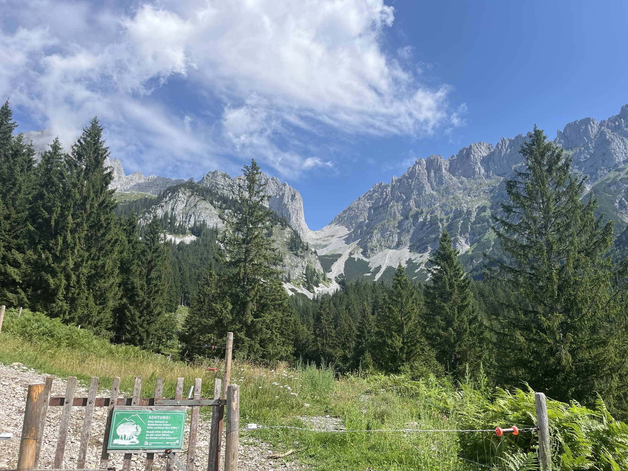
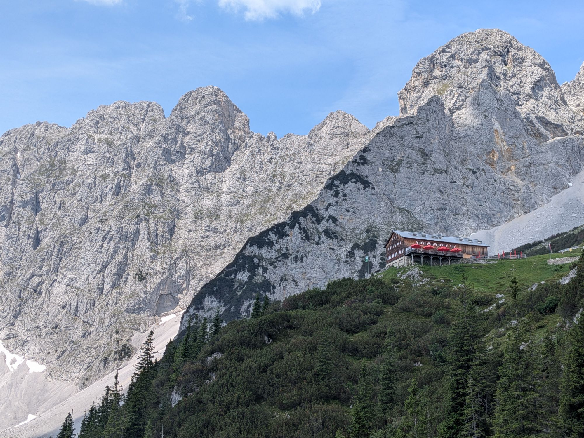
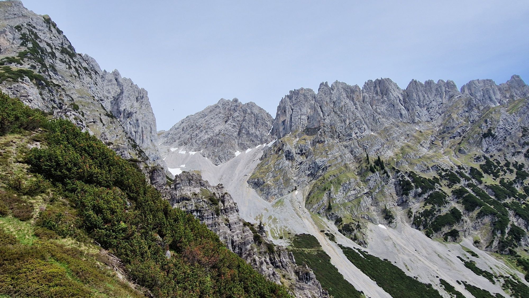
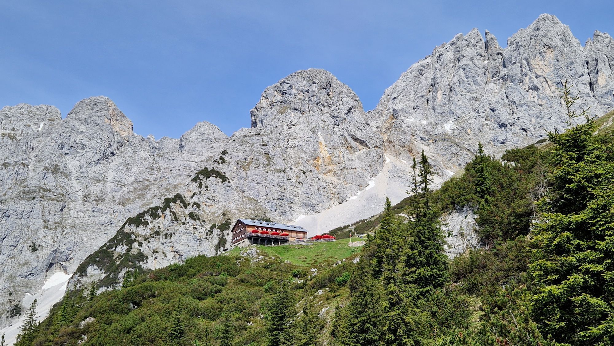
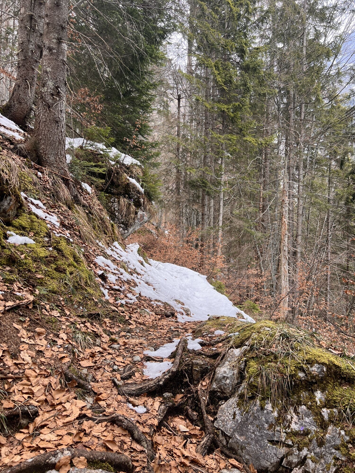
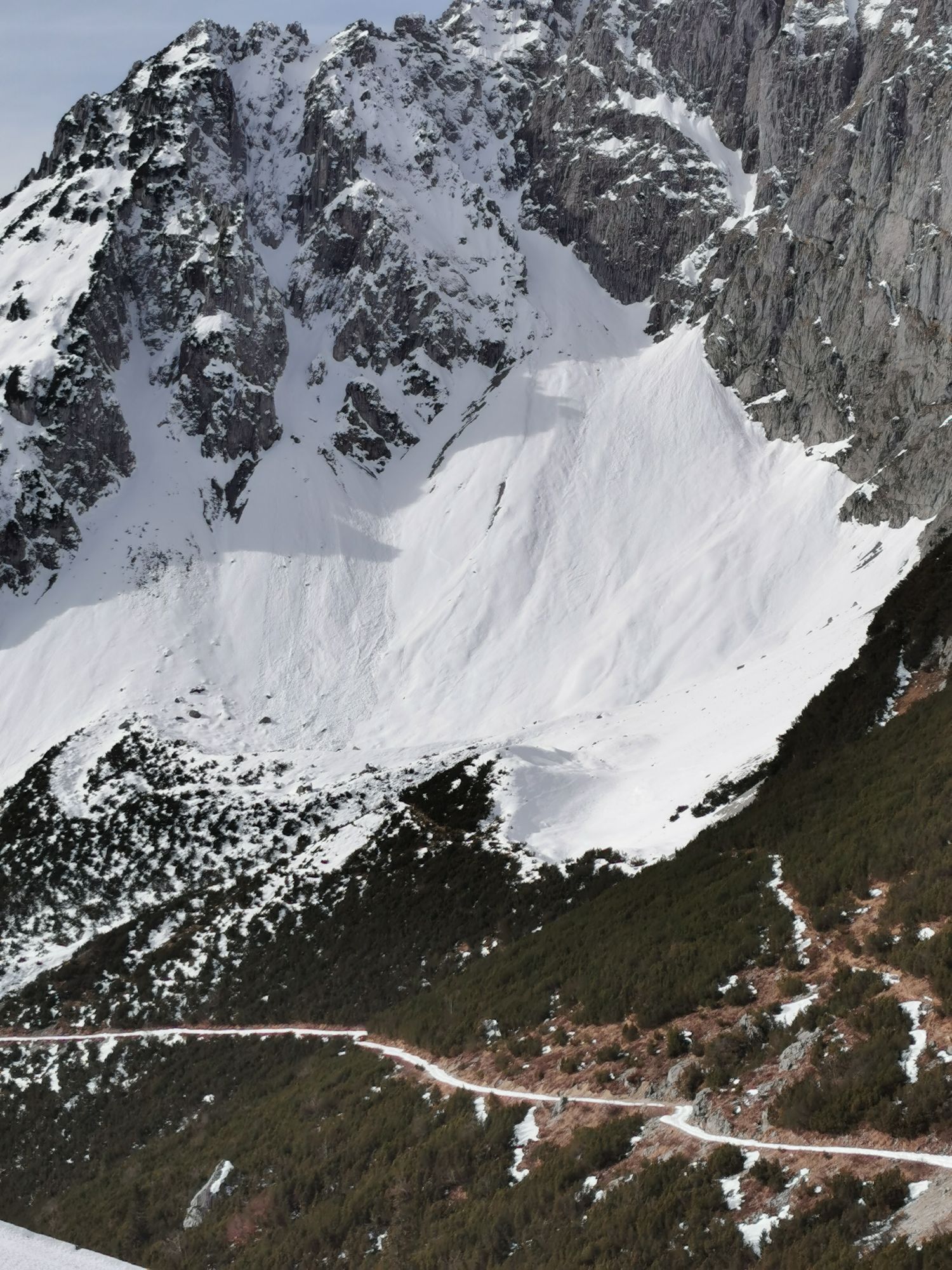
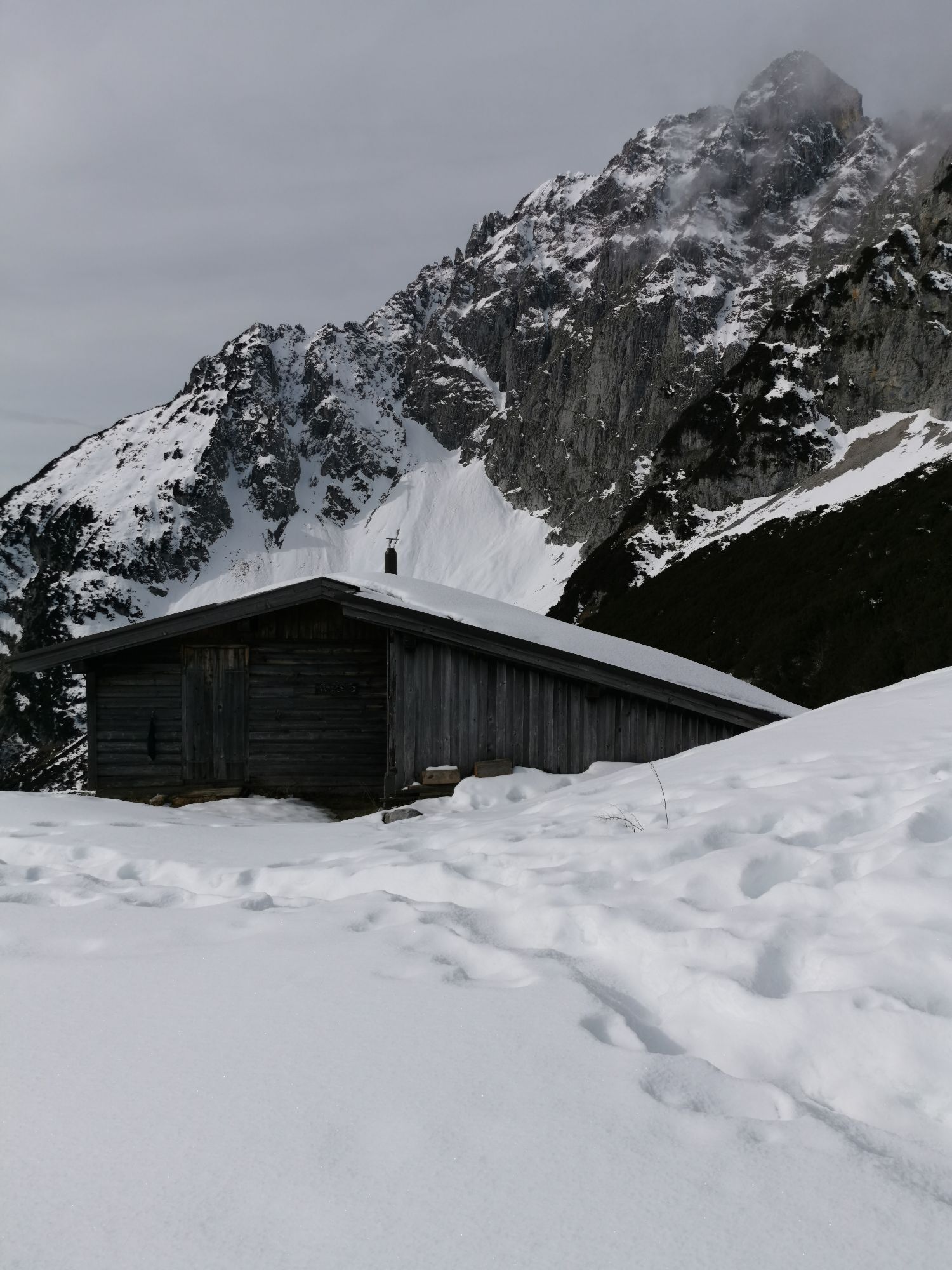
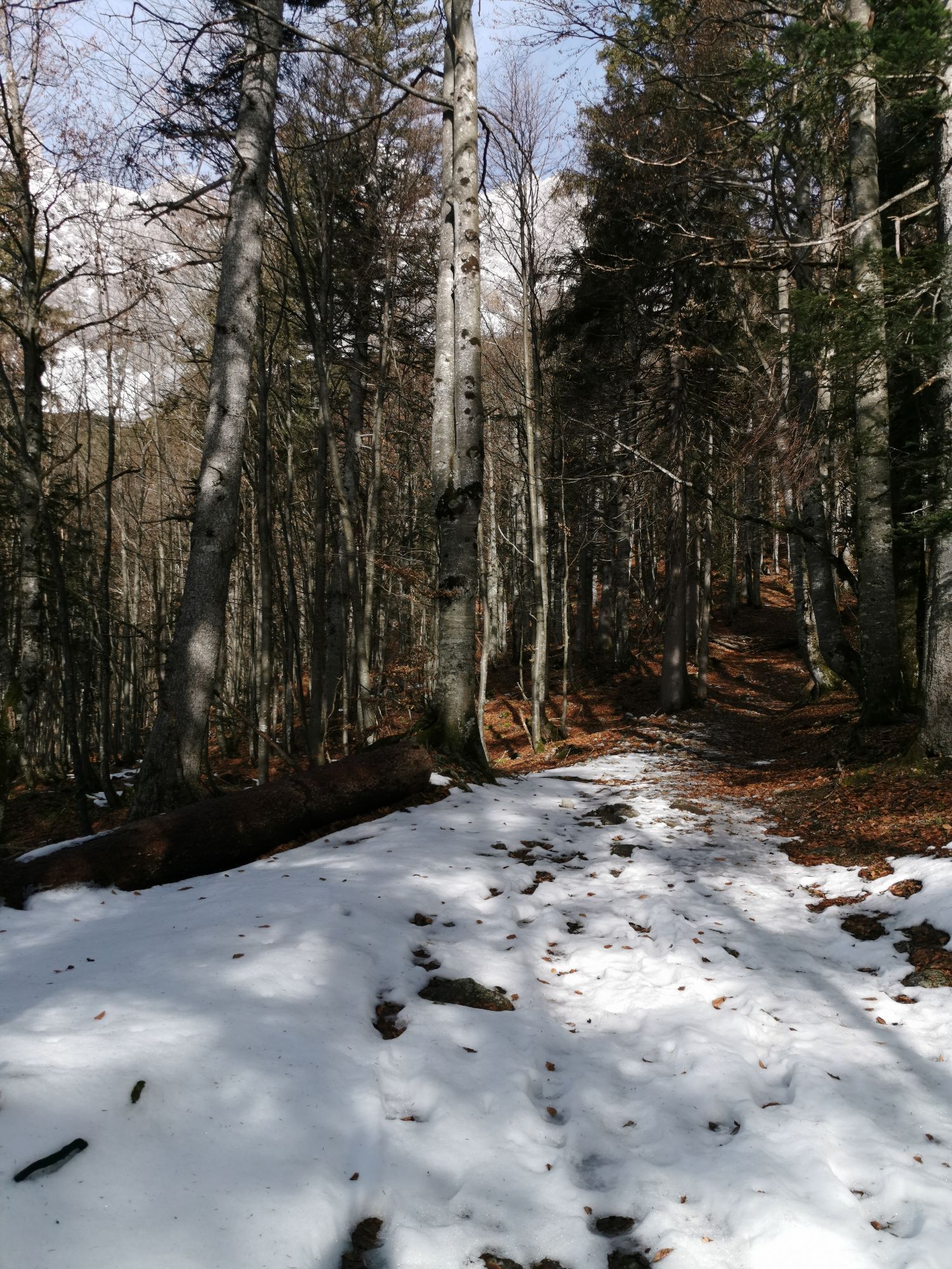
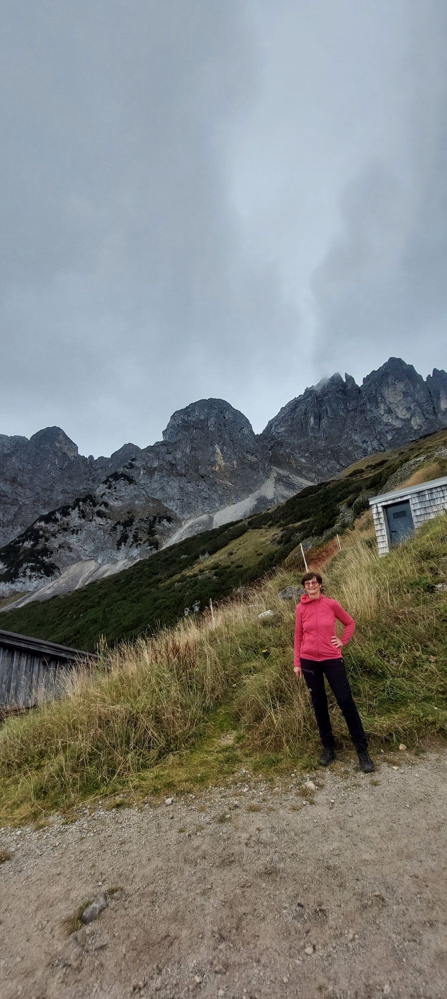
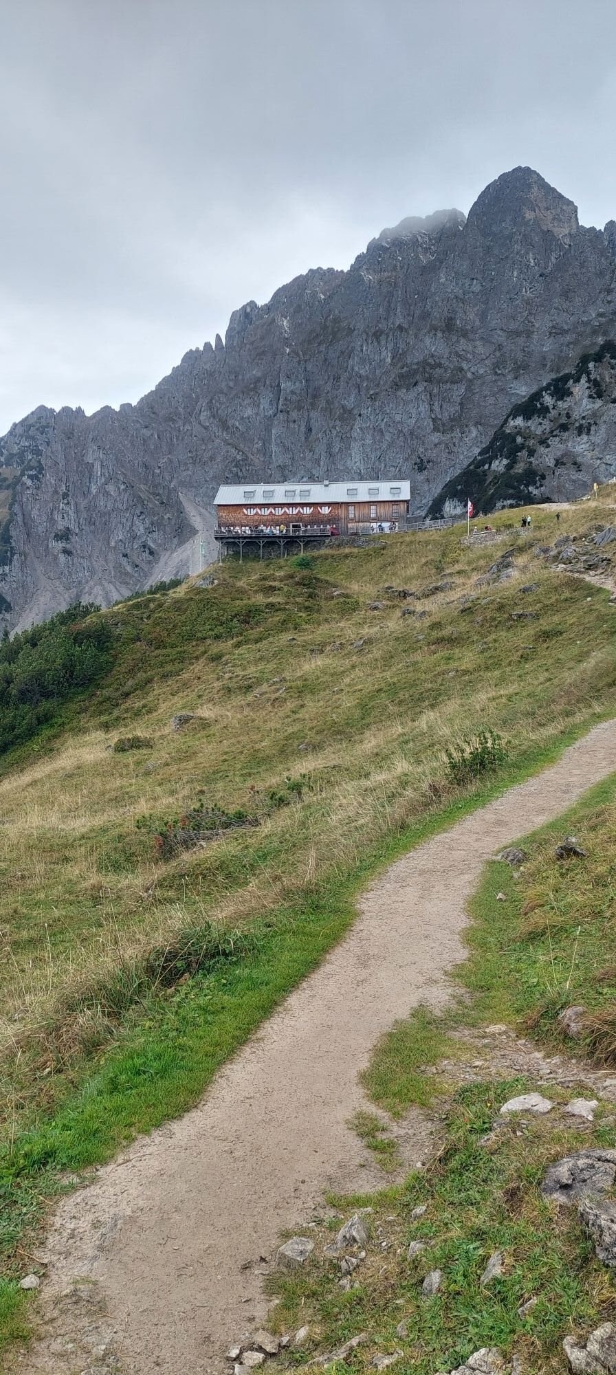
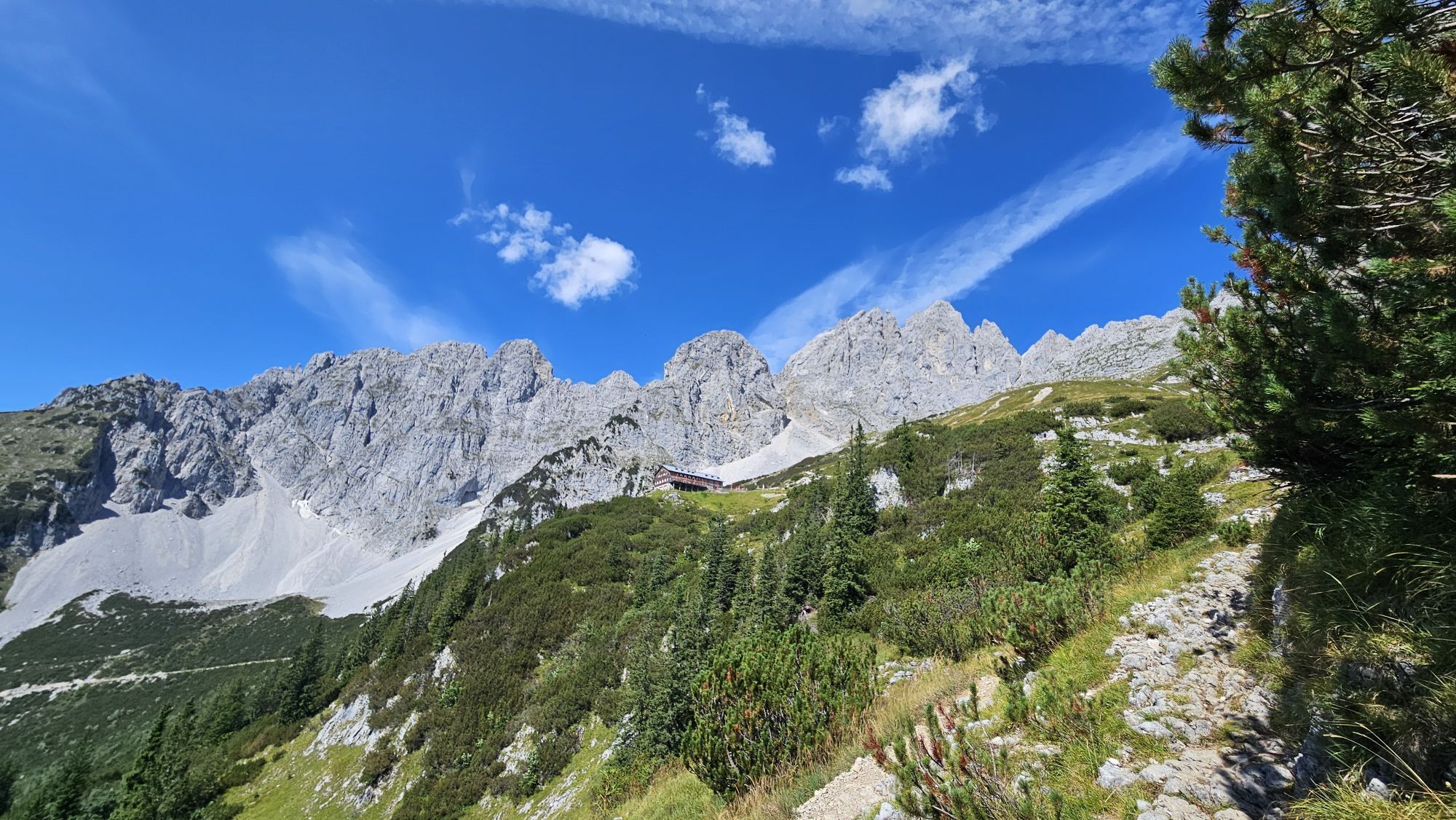
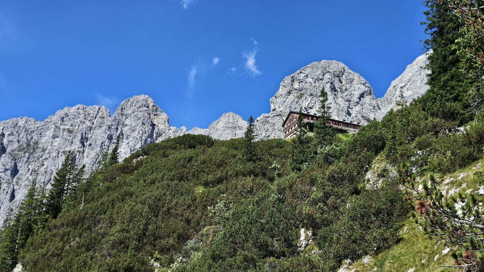
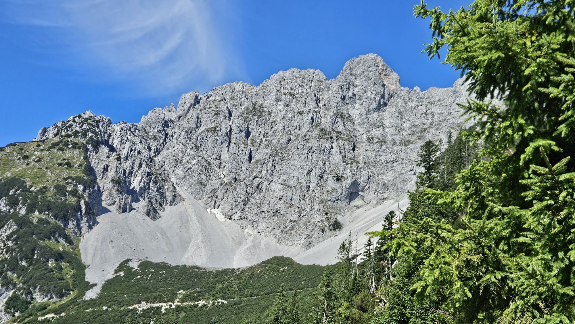
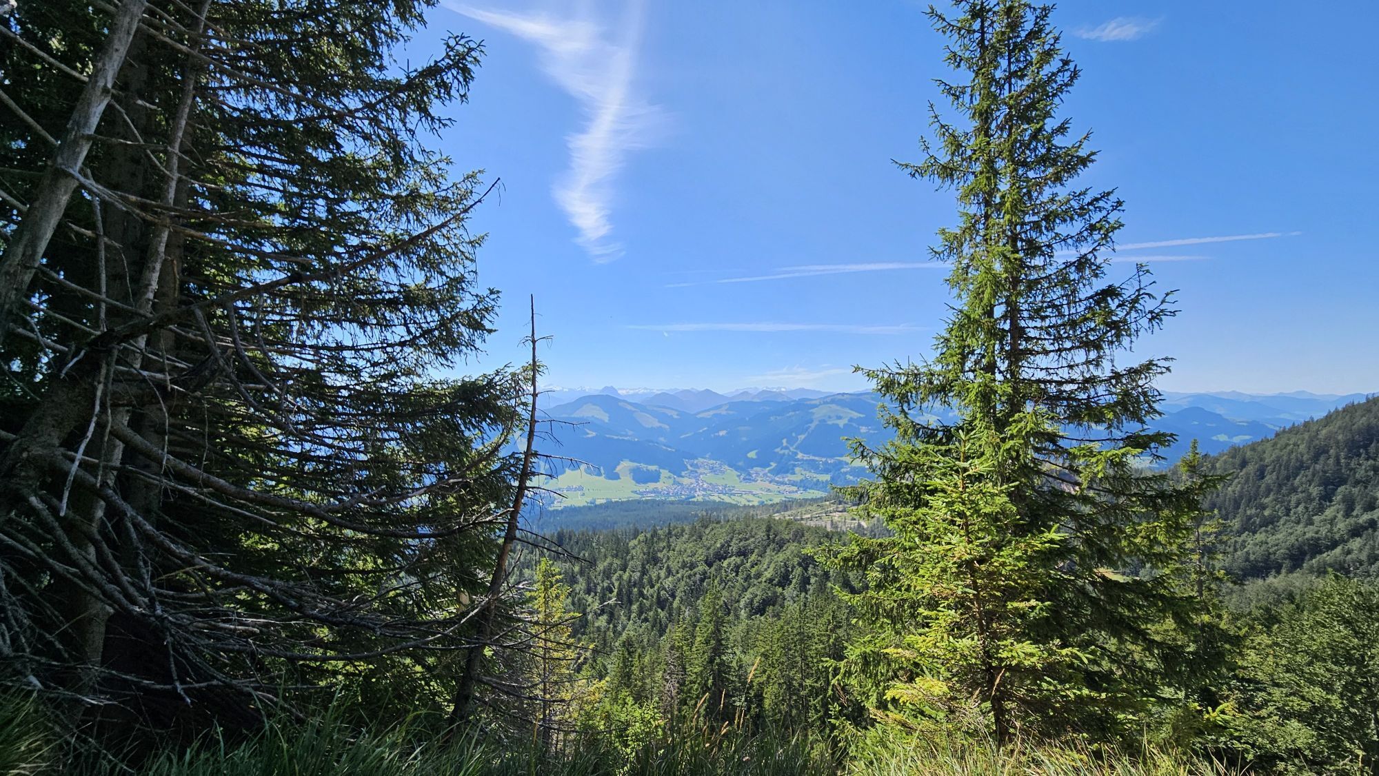
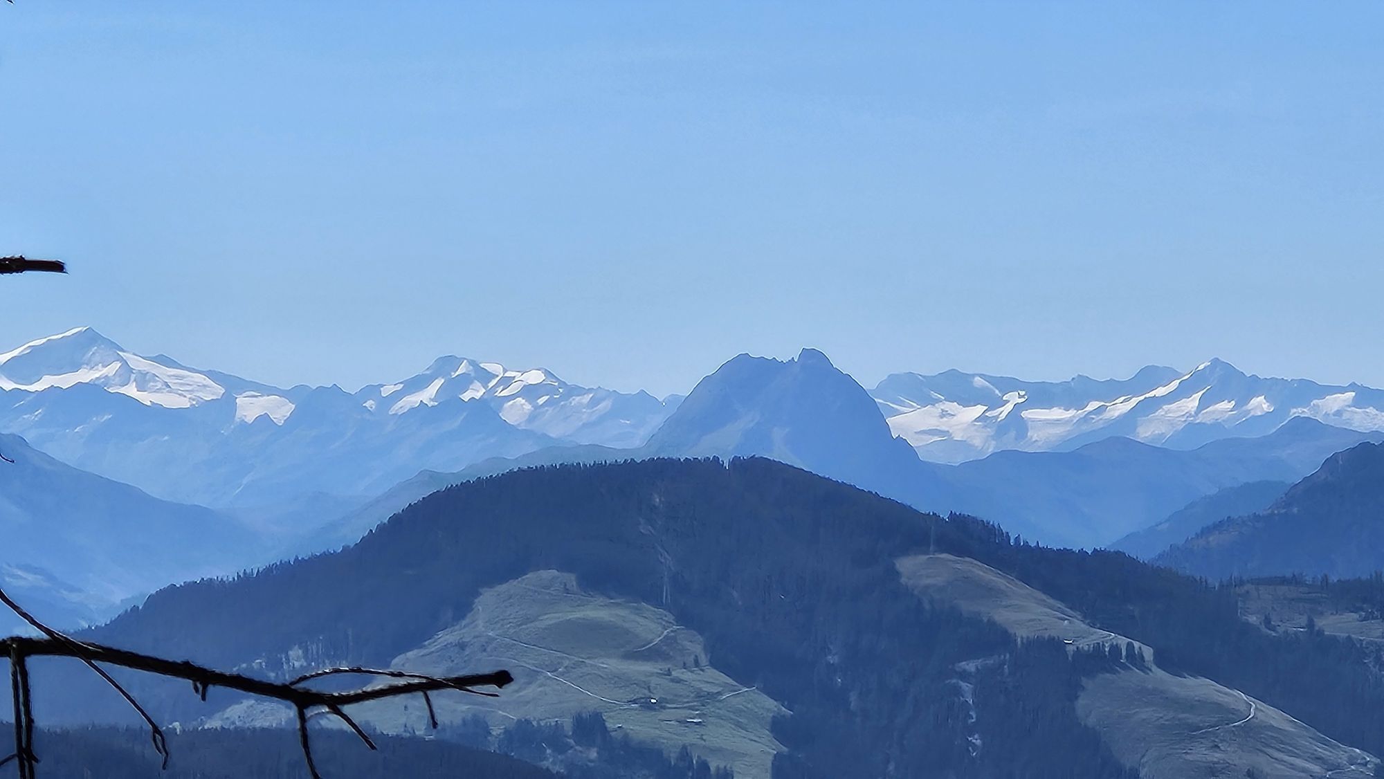
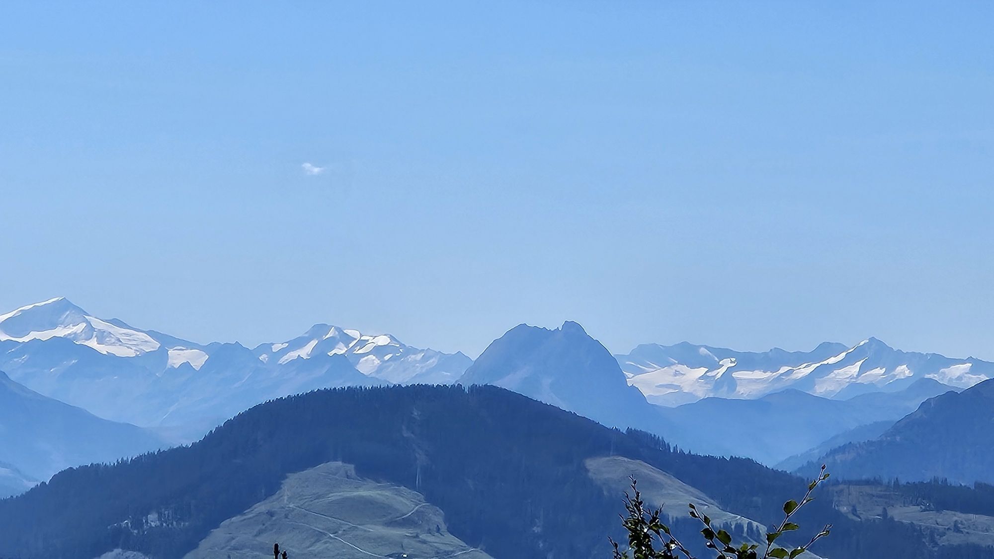
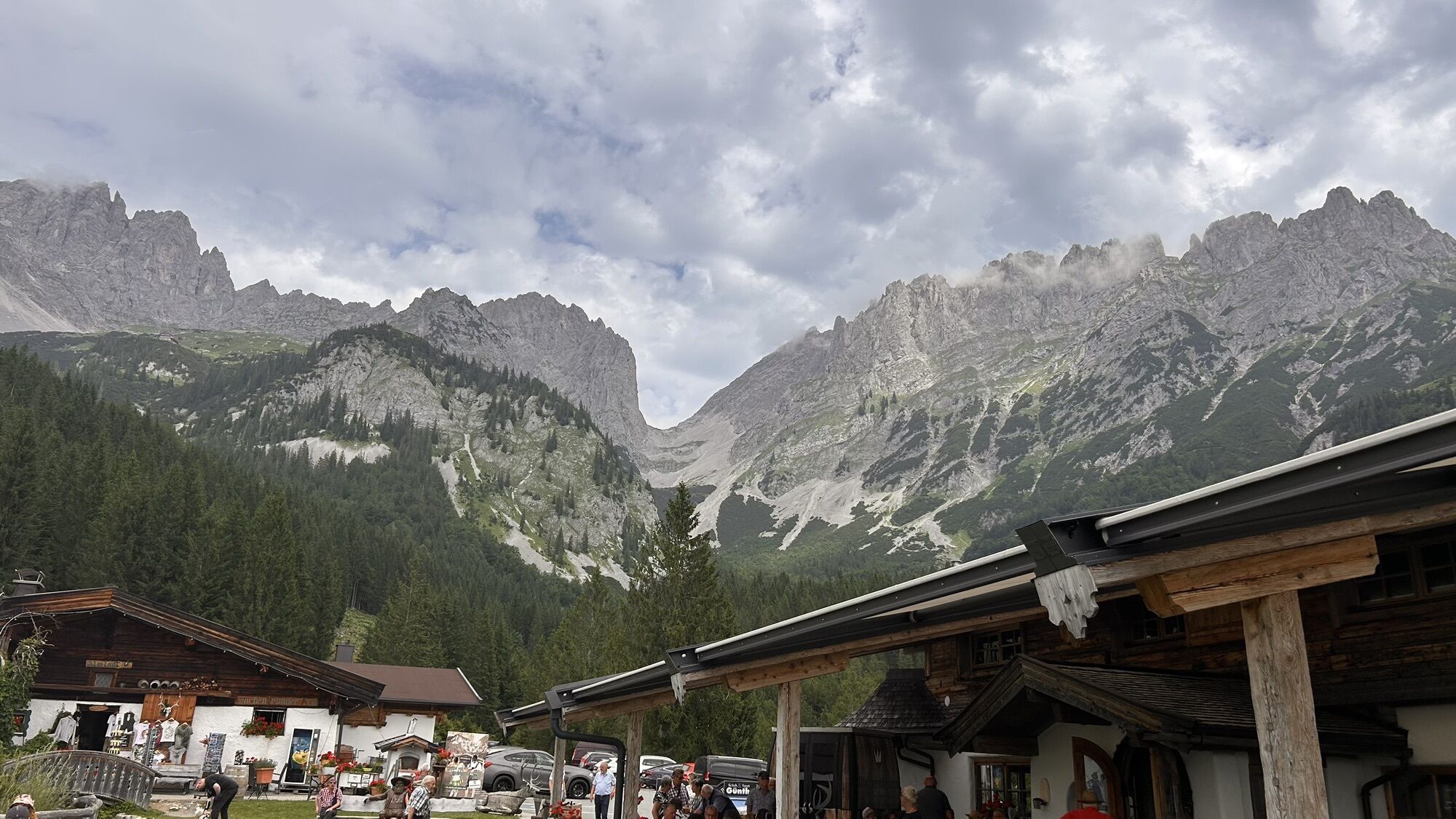
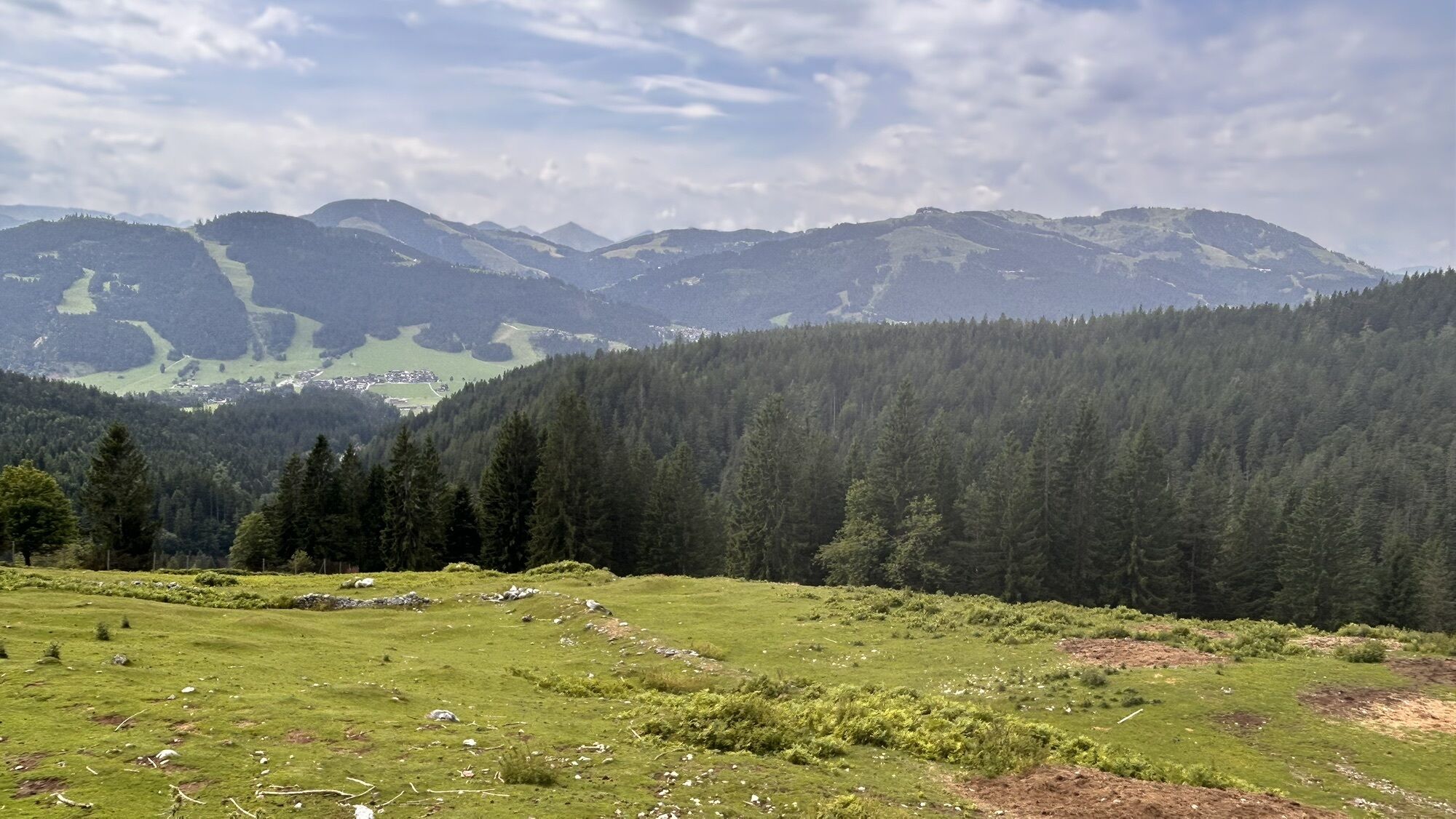
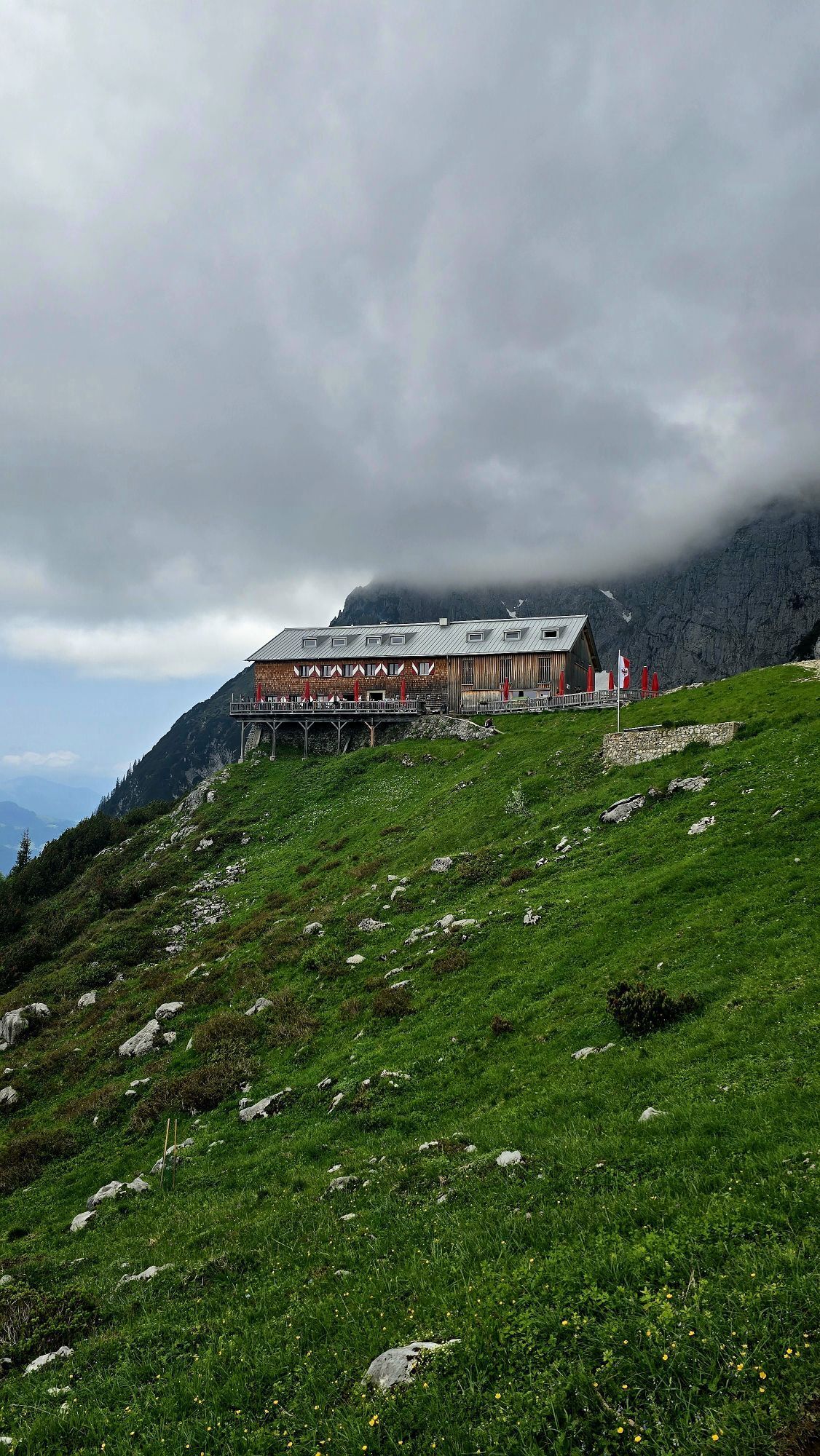
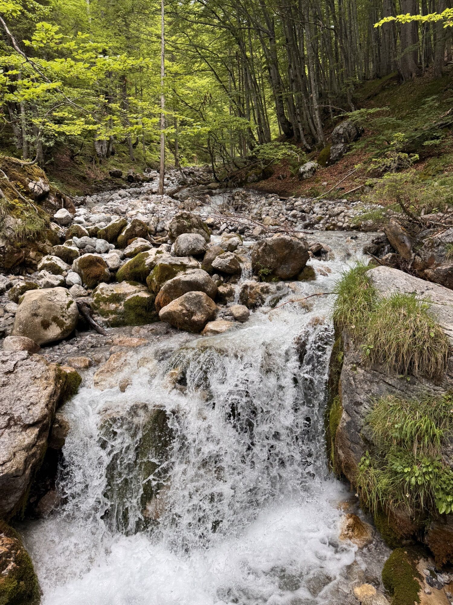

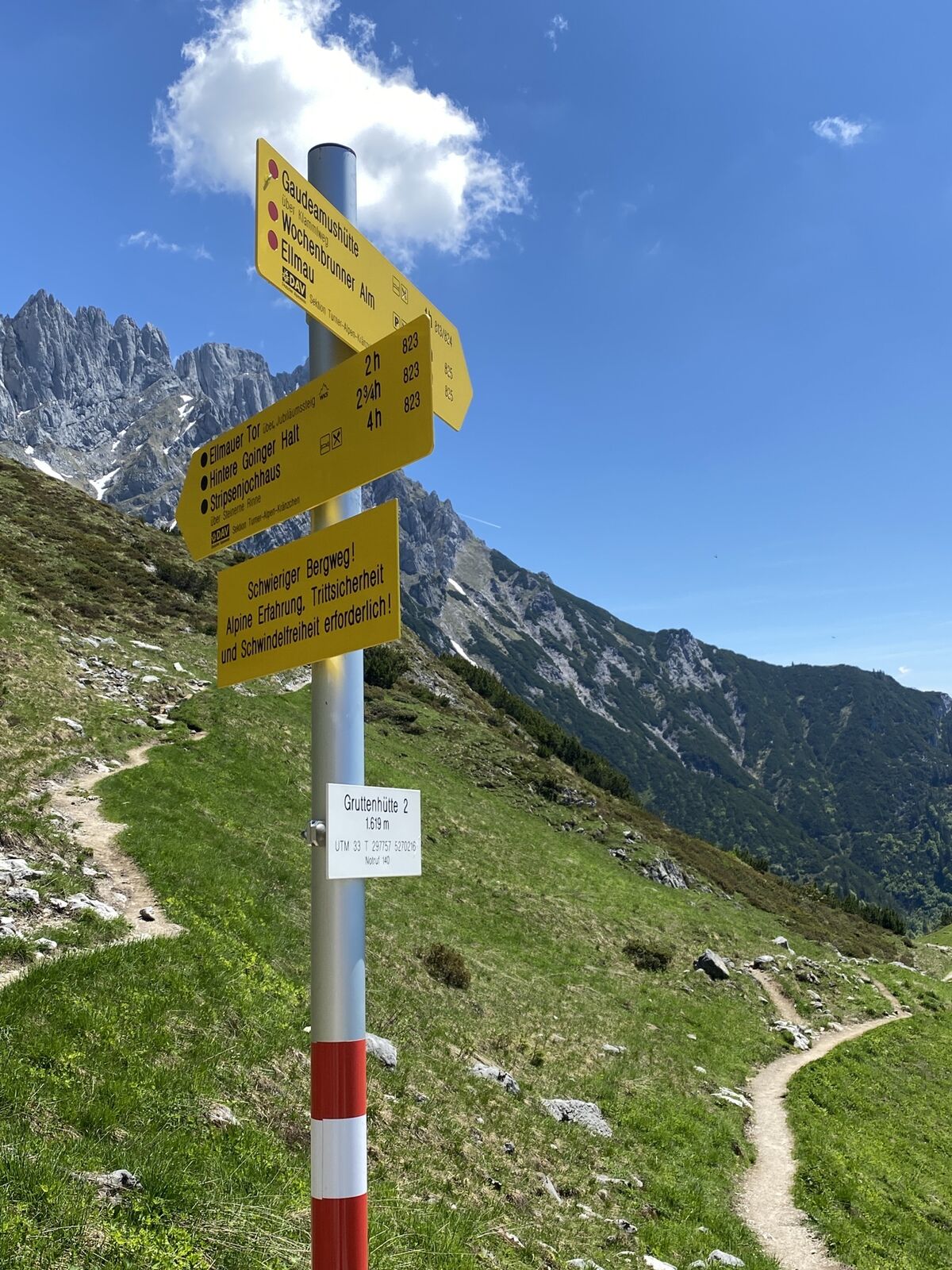
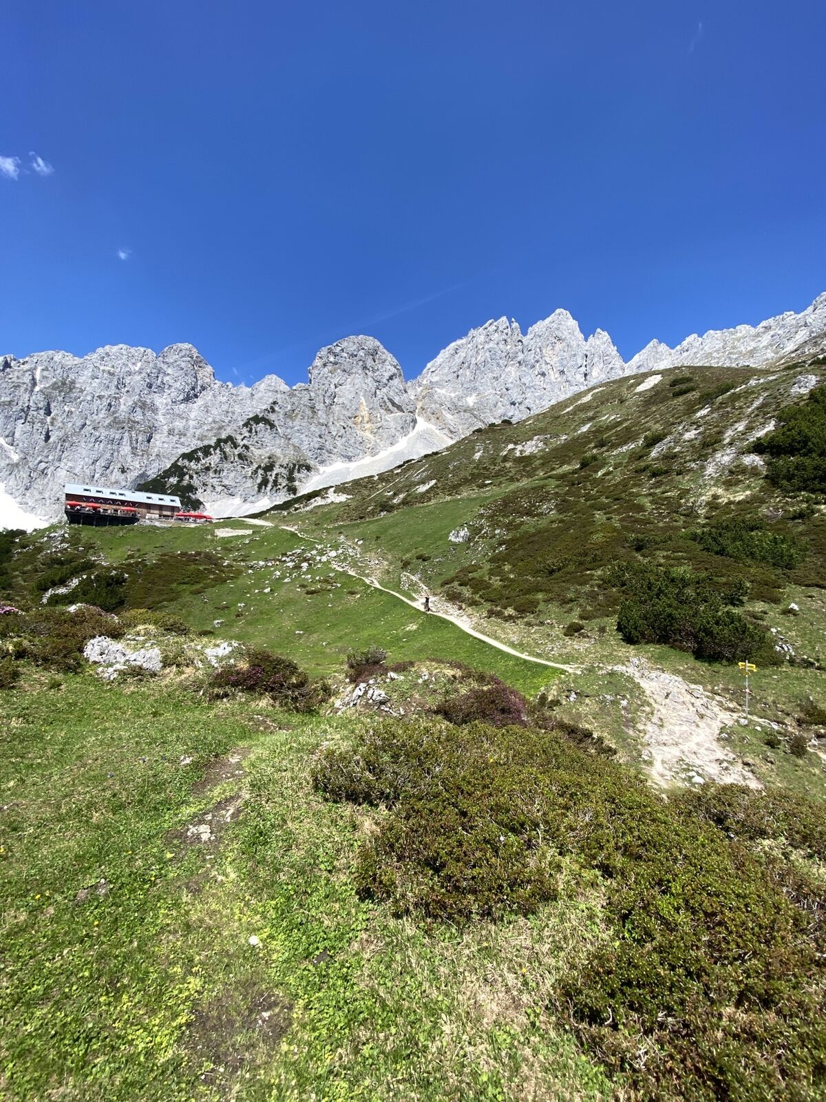
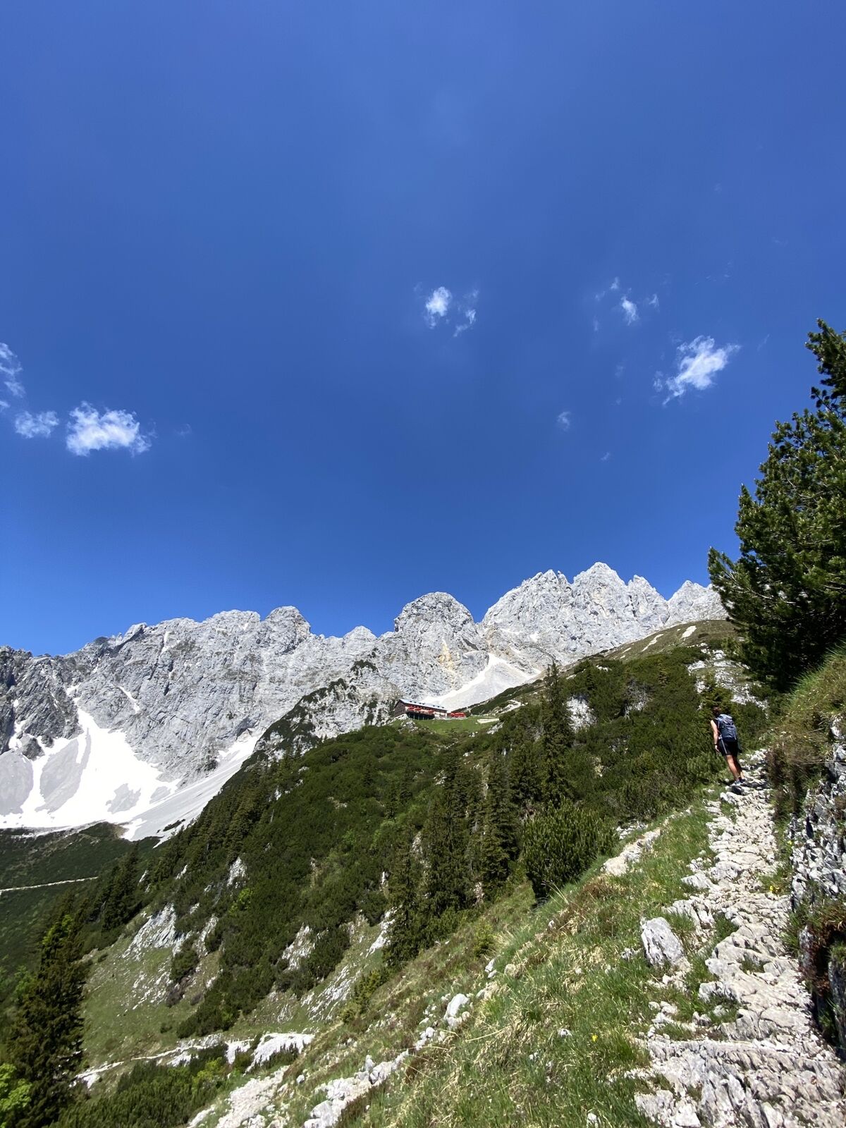
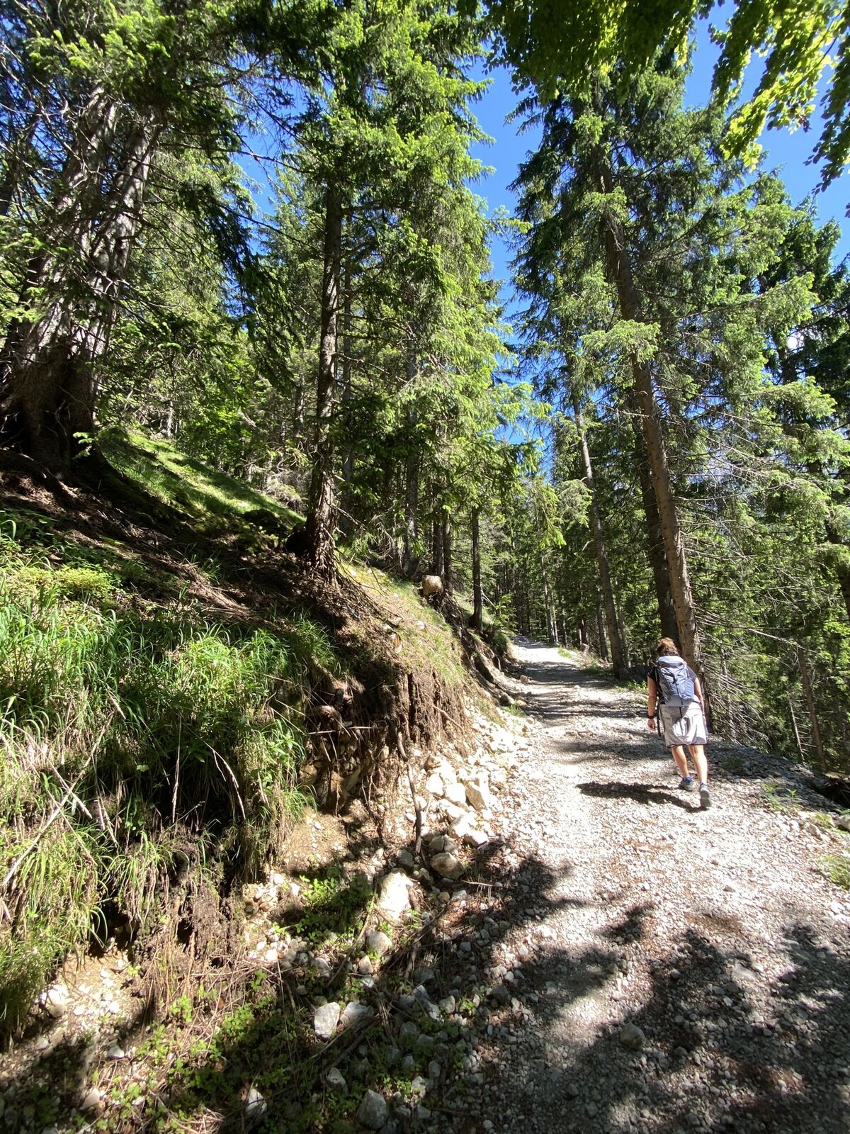
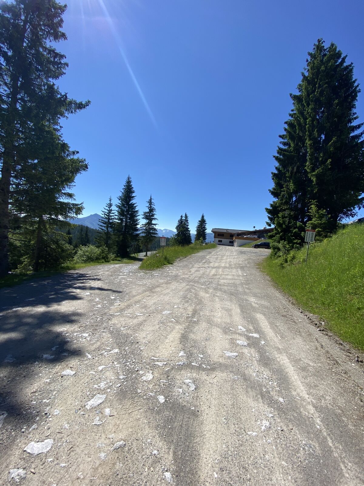
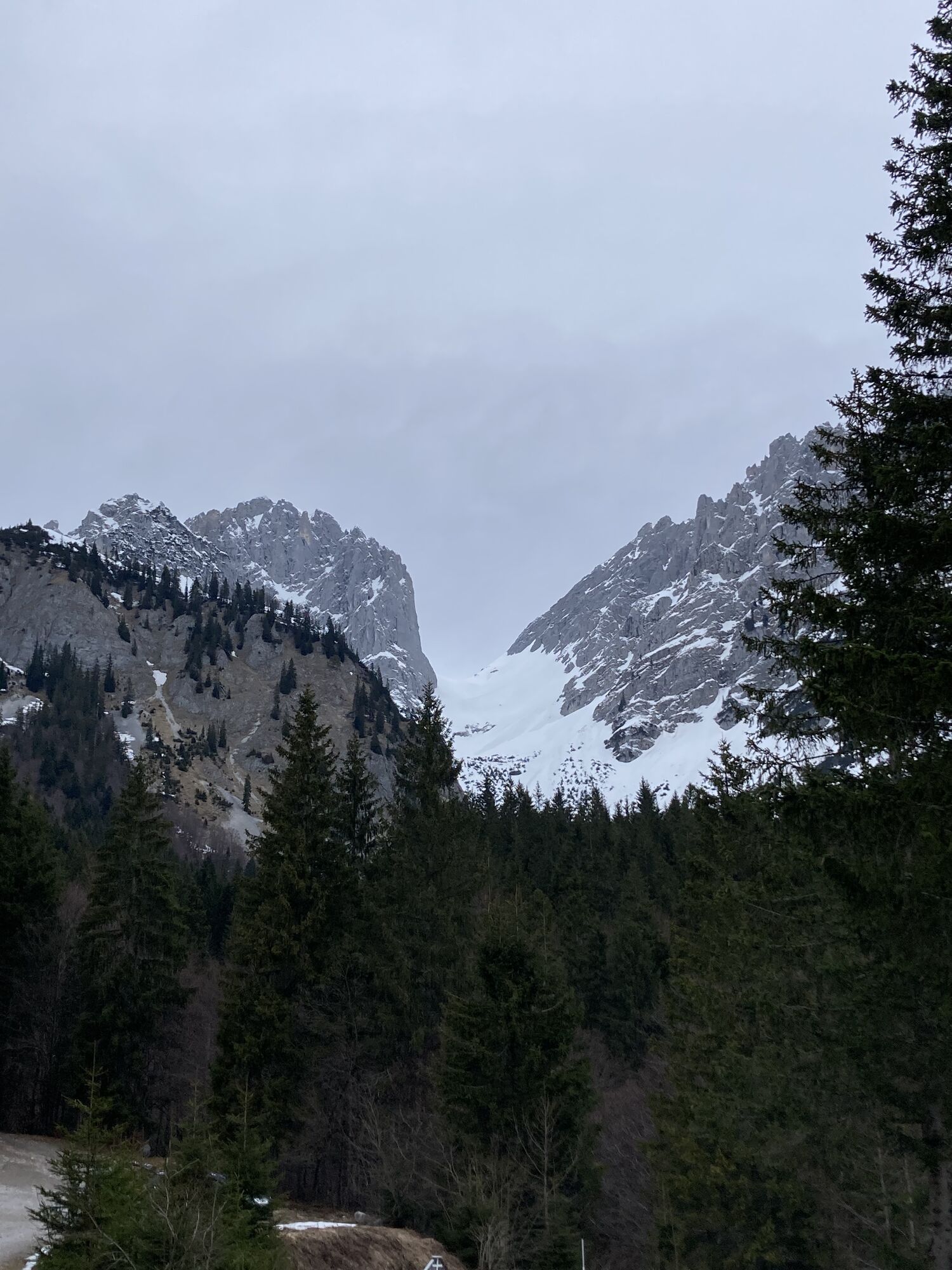
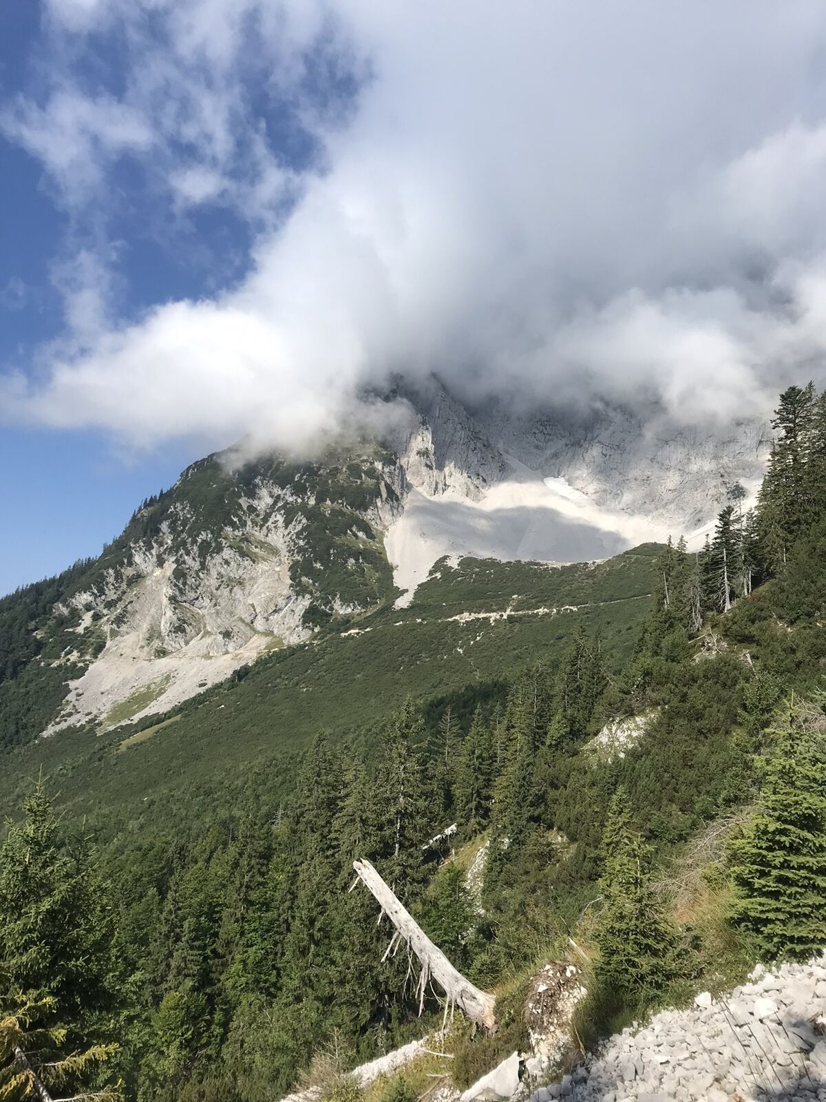
Start at the hiking starting point of the Wochenbrunner Alm (1,085 m) and follow the path 825 through the forest and further over a field of scree and past two short rock steps until you reach the Gruttenhütte...
Description
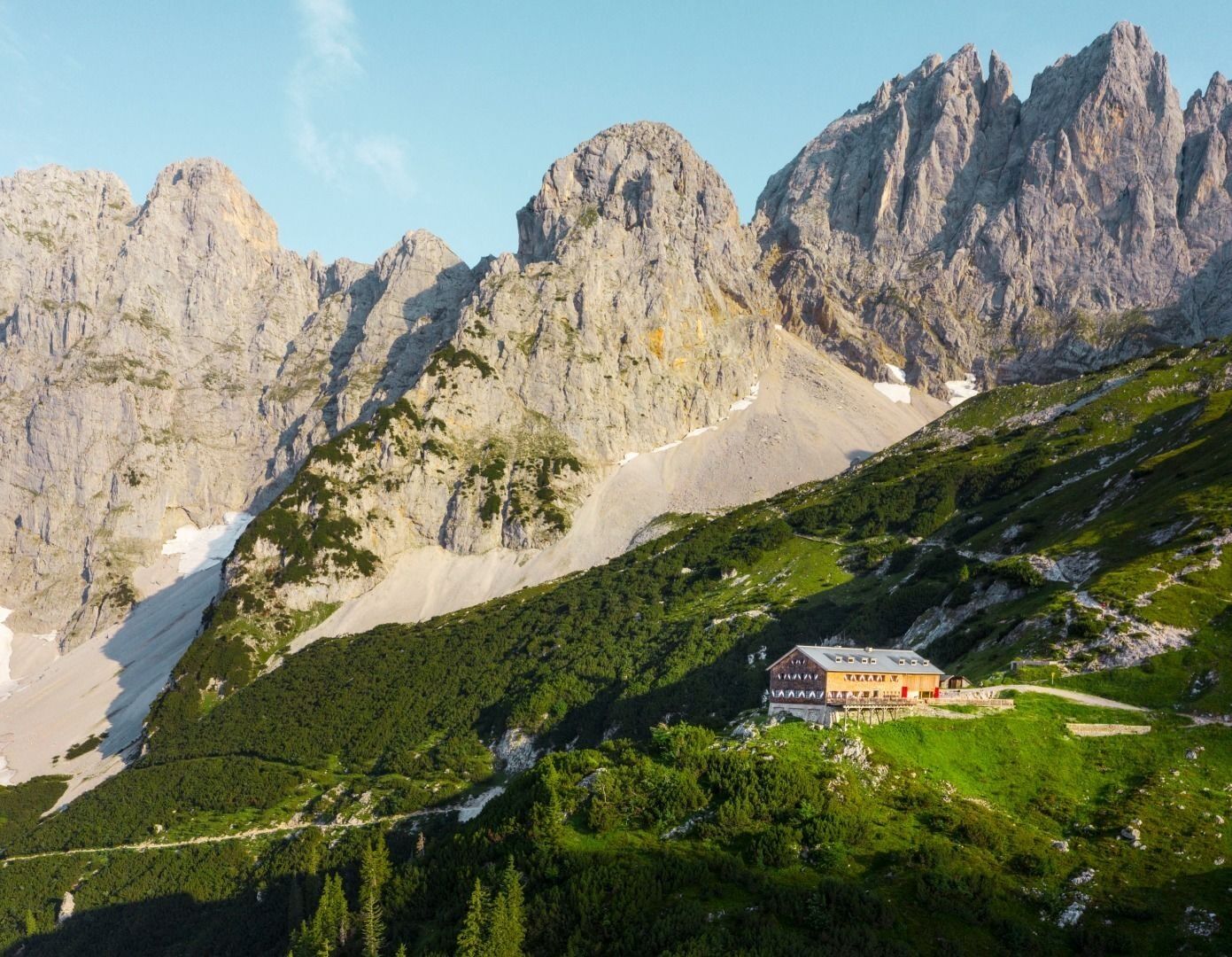
Start at the hiking starting point of the Wochenbrunner Alm (1,085 m) and follow the path 825 through the forest and further over a field of scree and past two short rock steps until you reach the Gruttenhütte mountain hut (1,620 m).
Parcours
Parcours
Kaiserkrone - approach/descent Ellmau, Wochenbrunner Alm-Gruttenhütte
moyen
Chemin de Grande Randonnée
2,64
km
Dernier suivi
aujourd'hui

Équipement
Rucksack, sturdy hiking/mountaineering boots with anti-slip treaded soles, weather-appropriate hiking gear (breathable), a change of clothes, sun protection (sunglasses, sun cream, lip protection, headgear), waterproofs (rain jacket/poncho, pocket umbrella, rucksack protector), cold protection (hat, gloves), sufficient food and drink, hiking poles (height adjustable) if required, first aid kit incl. rescue blanket and bivouac sack, mobile phone with fully charged battery, headlamp, plastic bag for waste, hiking map, route description and information materials (GPX track), ID, insurance card, cash
Additions for overnight stay at mountain hut:
Mountain hut sleeping bag, indoor shoes, toiletries and towel, personal medication, headlamp, Alpine Club ID Card, cash, charger for mobile phone
The hiking routes between the huts are often rather long, we recommend taking plenty of food and drink and booking your overnight stays well in advance.
Additions for overnight stay at mountain hut:
Mountain hut sleeping bag, indoor shoes, toiletries and towel, personal medication, headlamp, Alpine Club ID Card, cash, charger for mobile phone
The hiking routes between the huts are often rather long, we recommend taking plenty of food and drink and booking your overnight stays well in advance.
Informations sur l'itinéraire
Itinéraire
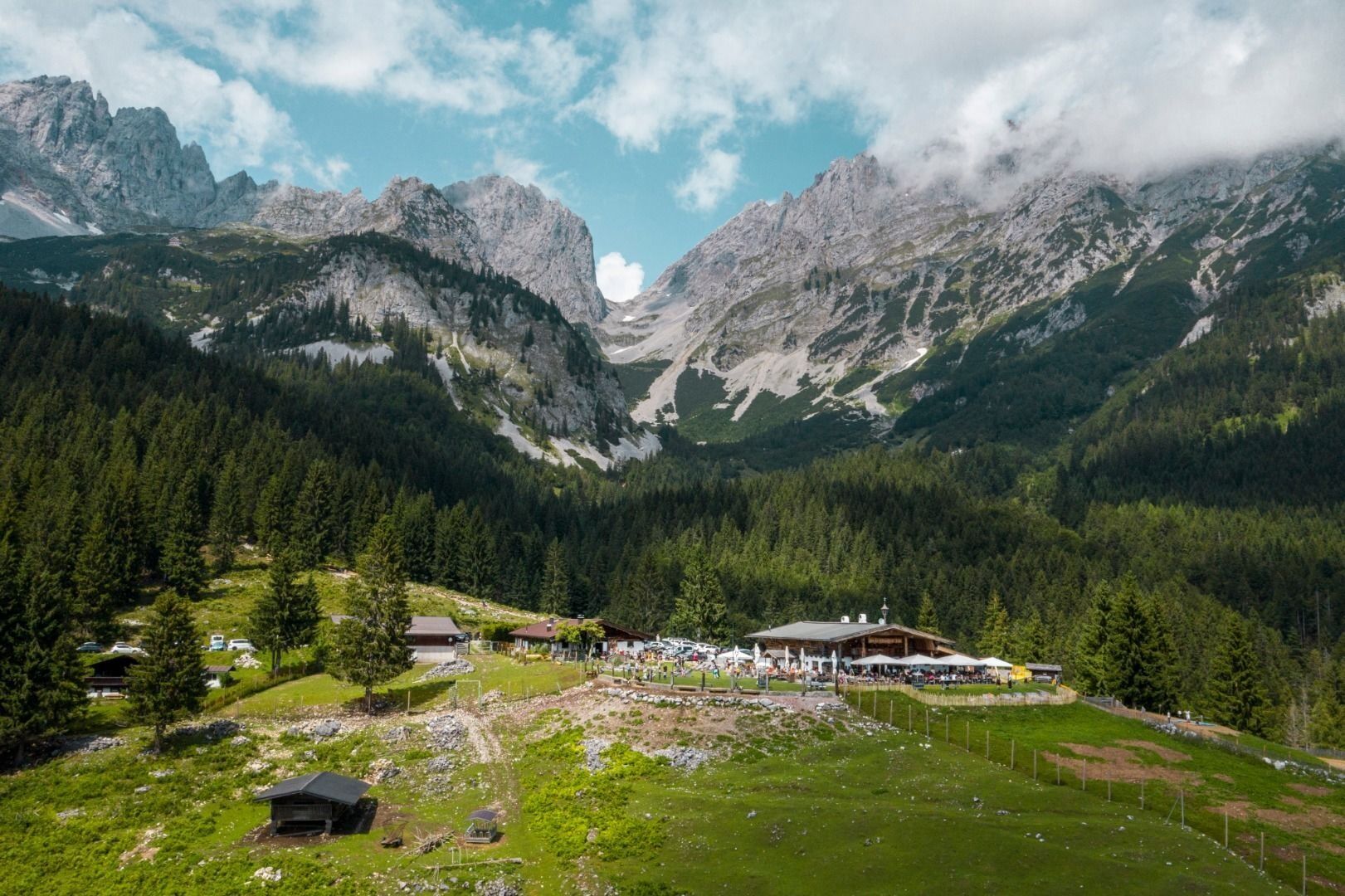
Heading from Wörgl or Kufstein on the B178 road, take the first exit to Ellmau and then take the first exit at the roundabout. Drive straight on until you reach the junction (green signs - leading towards KaiserBad/Kaisergebirge/Wochenbrunn). Turn left here, then turn right immediately after passing the bus stop. Follow the (toll) road until you reach the Wochenbrunner Alm car park.
Heading from St. Johann on the B178 road, take the first exit to Ellmau and then drive straight on until you reach the junction (green signs – leading towards KaiserBad/Kaisergebirge/Wochenbrunn). Turn right here, then turn right again immediately after passing the bus stop. Follow the (toll) road until you reach the Wochenbrunner Alm car park.
Heading from St. Johann on the B178 road, take the first exit to Ellmau and then drive straight on until you reach the junction (green signs – leading towards KaiserBad/Kaisergebirge/Wochenbrunn). Turn right here, then turn right again immediately after passing the bus stop. Follow the (toll) road until you reach the Wochenbrunner Alm car park.
Transports en commun
The free hikers’ bus runs daily in summer between the Ellmau Dorf/Bauhof bus stop the trailhead of the hike to the Wochenbrunner Alm Alpine hut. Passengers can change to/from the KaiserJet and regular buses at the Ellmau Dorf/Bauhof bus stop.
More information at: www.wilderkaiser.info
More information at: www.wilderkaiser.info
Parking
Wochenbrunner Alm mountain hut, Ellmau (1,085 m) – free car park (toll road)
Pas encore d'évaluation
Obtenez un aperçu
Toujours en direct avec plus de 9.500 webcams. En tant qu'utilisateur Pro, vous pouvez désormais voir les webcams correspondantes à de nombreuses randonnées dans l'application de randonnées de bergfex. Vous pouvez ainsi voir directement les conditions actuelles.



Parcours populaires à proximité
-
4,7
Kirchdorf: Zur geheimnisvollen Teufelsgasse
moyenRandonnée 7,90 km -
4,3
Erpfendorf: Griesbachklamm
moyenRandonnée 10 km -
4,8
Gruttenhütte über Klammlweg
moyenRandonnée 5,61 km -
4,8
Ellmauer Tor (22.07.2020)
moyenRandonnée 9,32 km -
4,8
Streif Wanderweg
moyenRandonnée 5,73 km -
4,9
Schleierwasserfall Runde
moyenRandonnée 5,63 km -
4,5
Kitzbüheler Horn über Horn-Gipfel-Höhenweg
moyenChemin thématique 5,30 km -
5,0
Stripsenjoch Klettersteige/ Rundwanderung von Griesener Alm über Stripsenjochhaus und Feldberg
moyenVia ferrata 10,2 km -
4,7
Musikantensteig zur Naunspitze
moyenRandonnée 8,96 km -
4,6
Hintersteinersee
moyenRandonnée 9,87 km
Randonnée et suivi

Plus de 550.000 propositions de circuits, des cartes détaillées et un planificateur d'itinéraire intuitif font de cette application un must pour tous les passionnés de nature.

Ne manquez pas les offres et l'inspiration pour vos prochaines vacances
S'inscrire à la newsletter
Erreur
Une erreur s'est produite. Veuillez réessayer.
Merci pour votre inscription
Votre adresse électronique a été ajouté à la liste de diffusion.
Parcours en Europe
Autriche
Suisse
Allemagne
Italie
Slovénie
France
Pays-Bas
Belgique
Pologne
Liechtenstein
République tchèque
Slovaquie
Espagne
Croatie
Bosnie-Herzégovine
Luxembourg
Andorre
Portugal
Islande
Royaume-Uni
Irlande
Grèce
Albanie
Macédoine du Nord
Malte
Norvège
Monténégro
Moldavie
Kosovo
Hongrie
Saint-Marin
Roumanie
Estonie
Lettonie
Bélarus
Chypre
Lituanie
Serbie
Bulgarie
Monaco
Danemark
Suède
Finlande





