


Four-day tour - DAV Kaisertour
Photos de nos utilisateurs
-
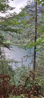
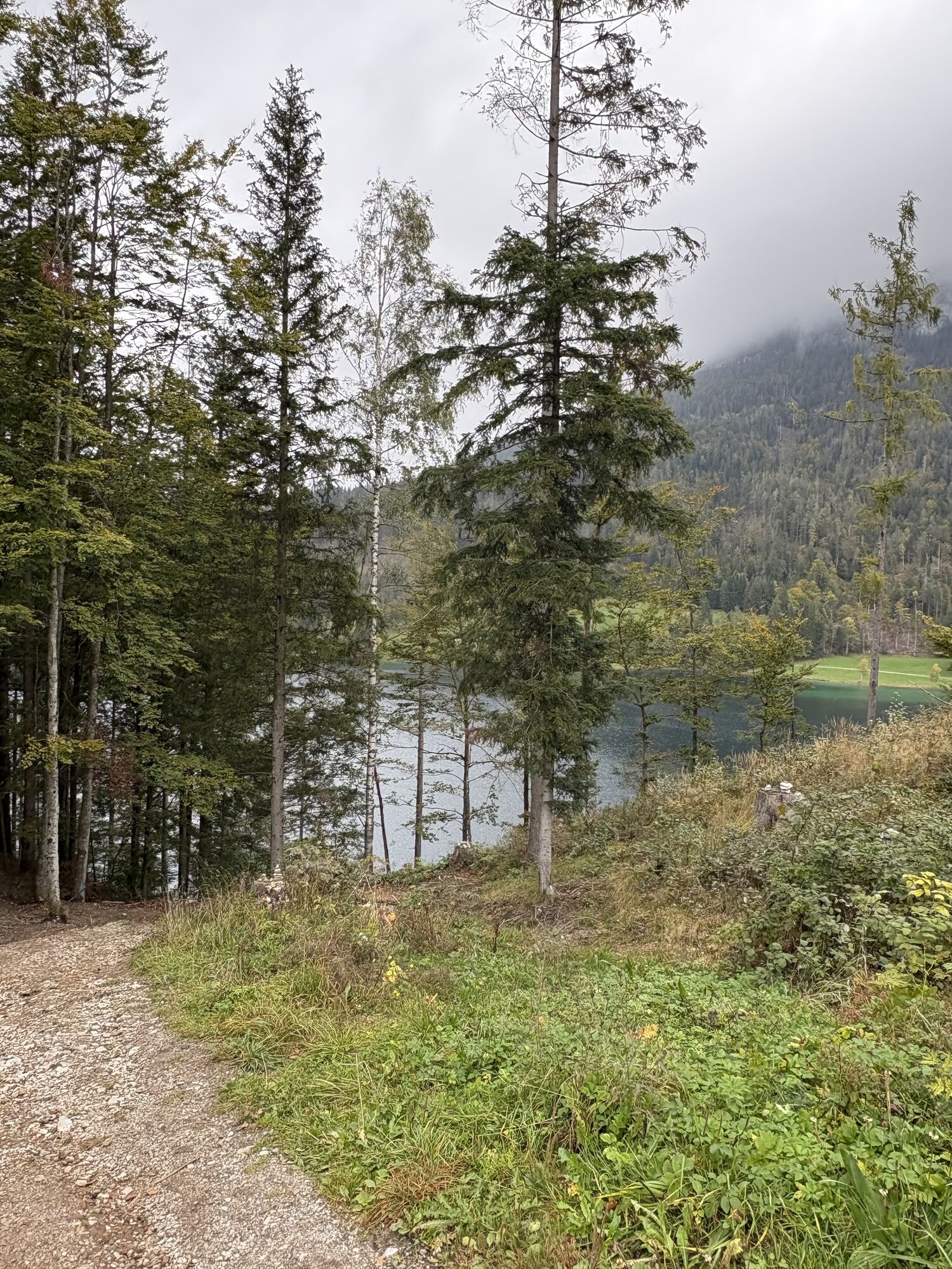
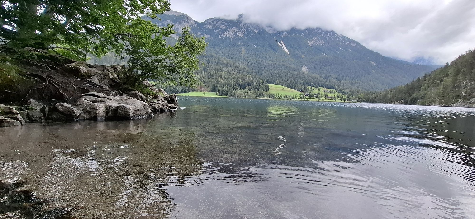
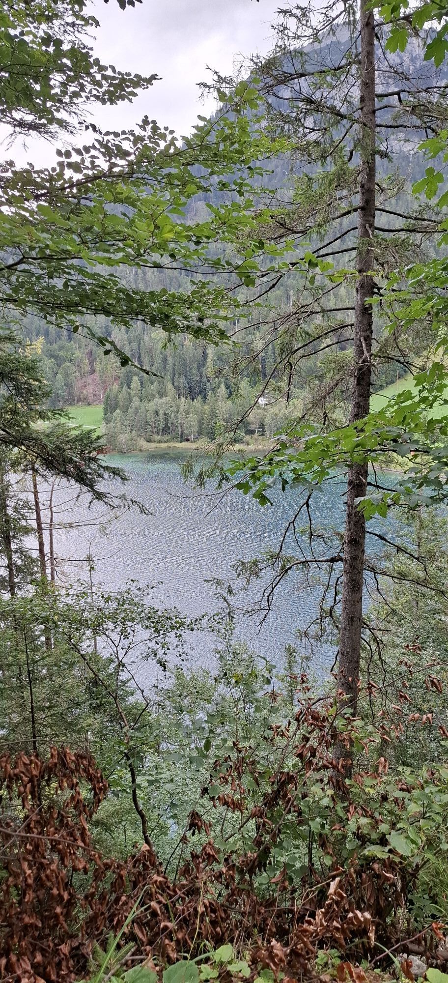
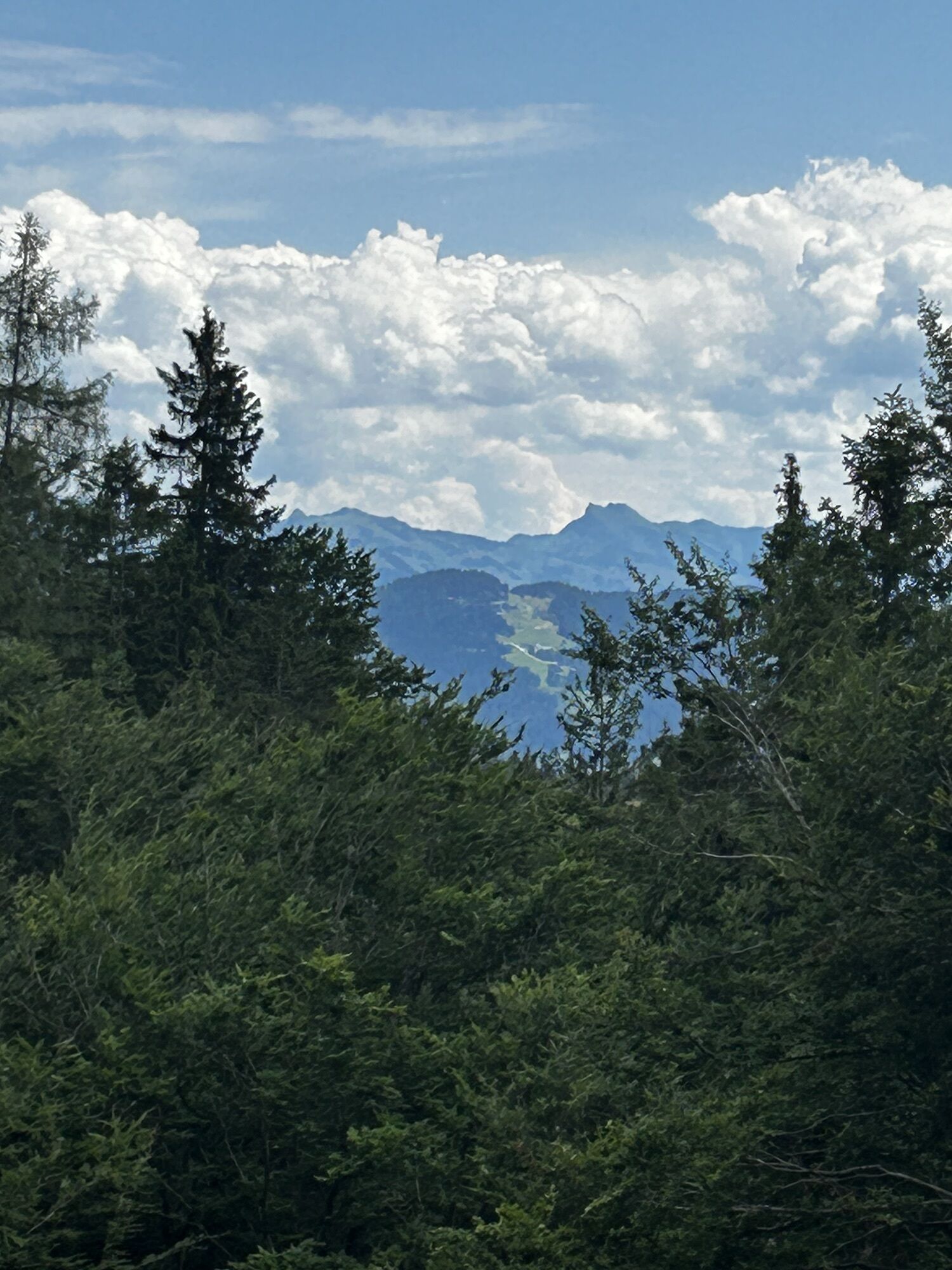
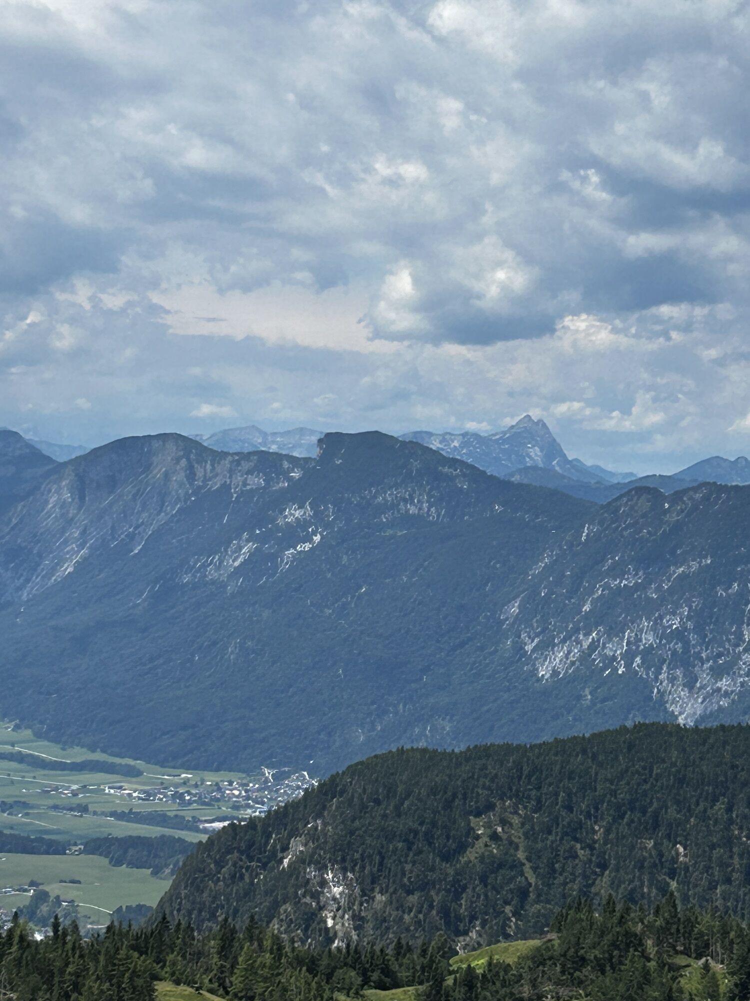
 © Andreas DeckertCréé le 17.06.2023
 -
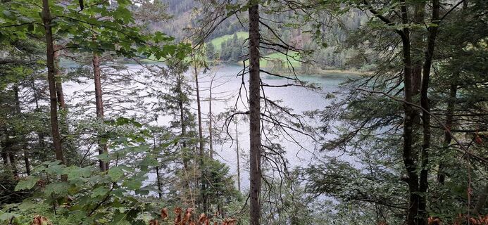
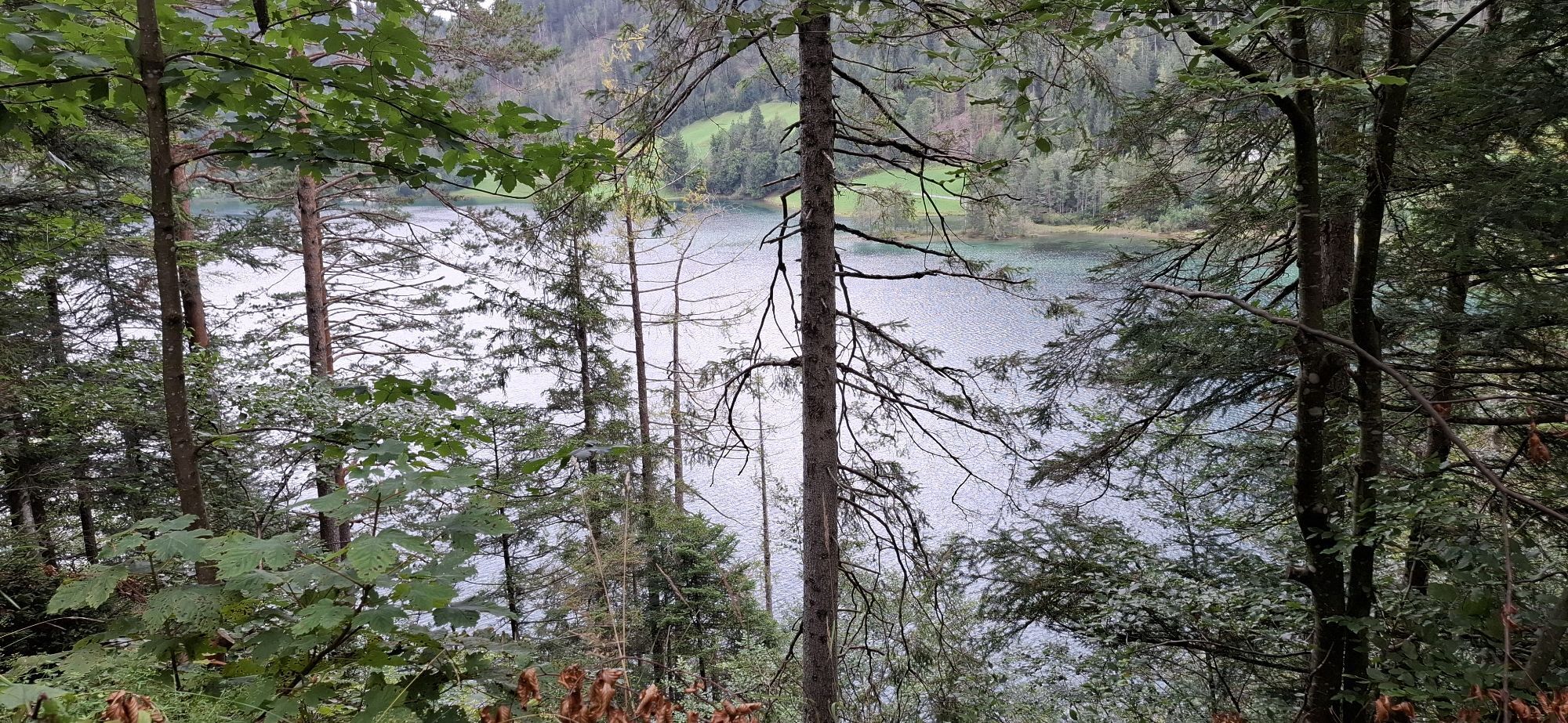
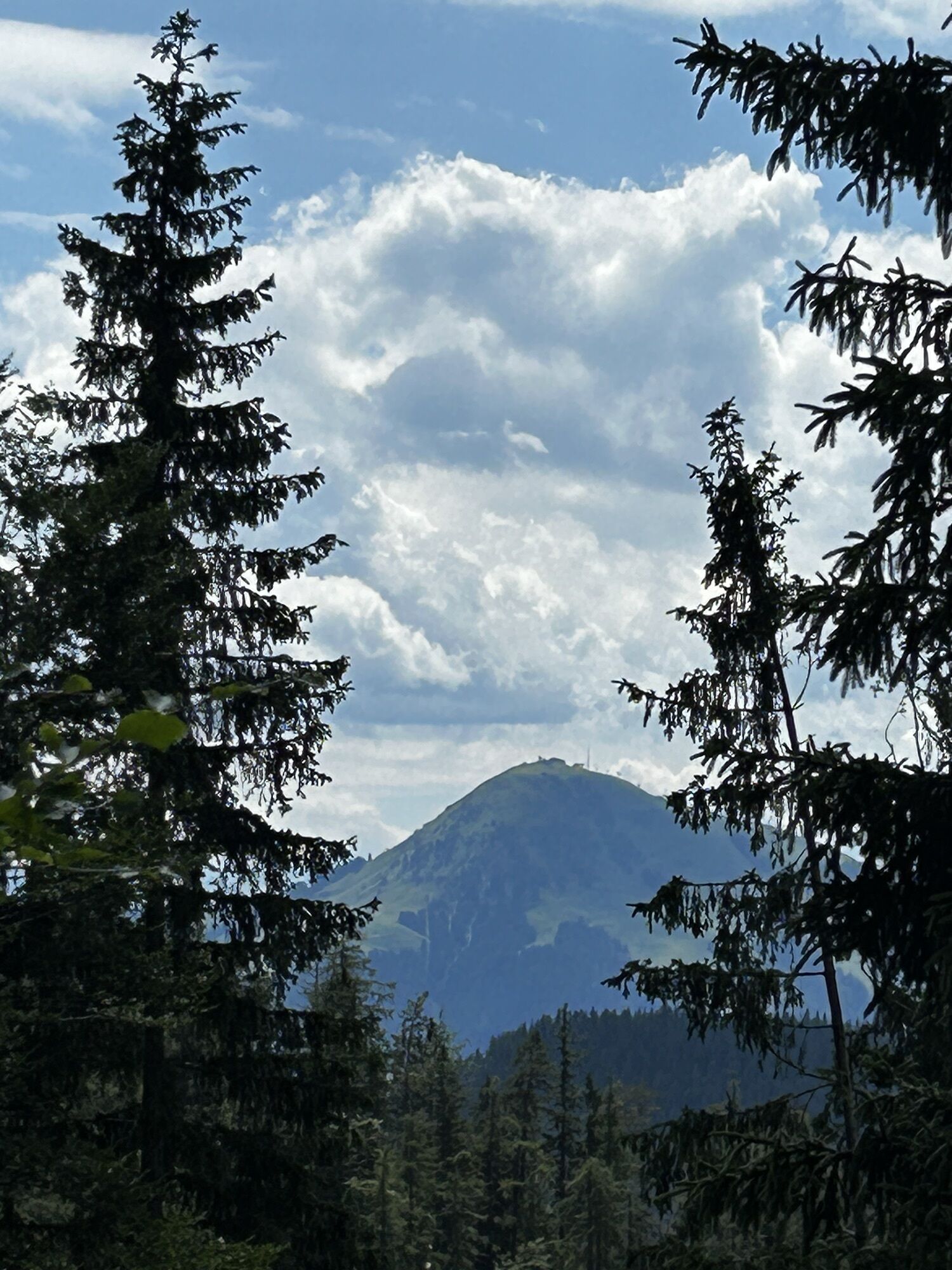
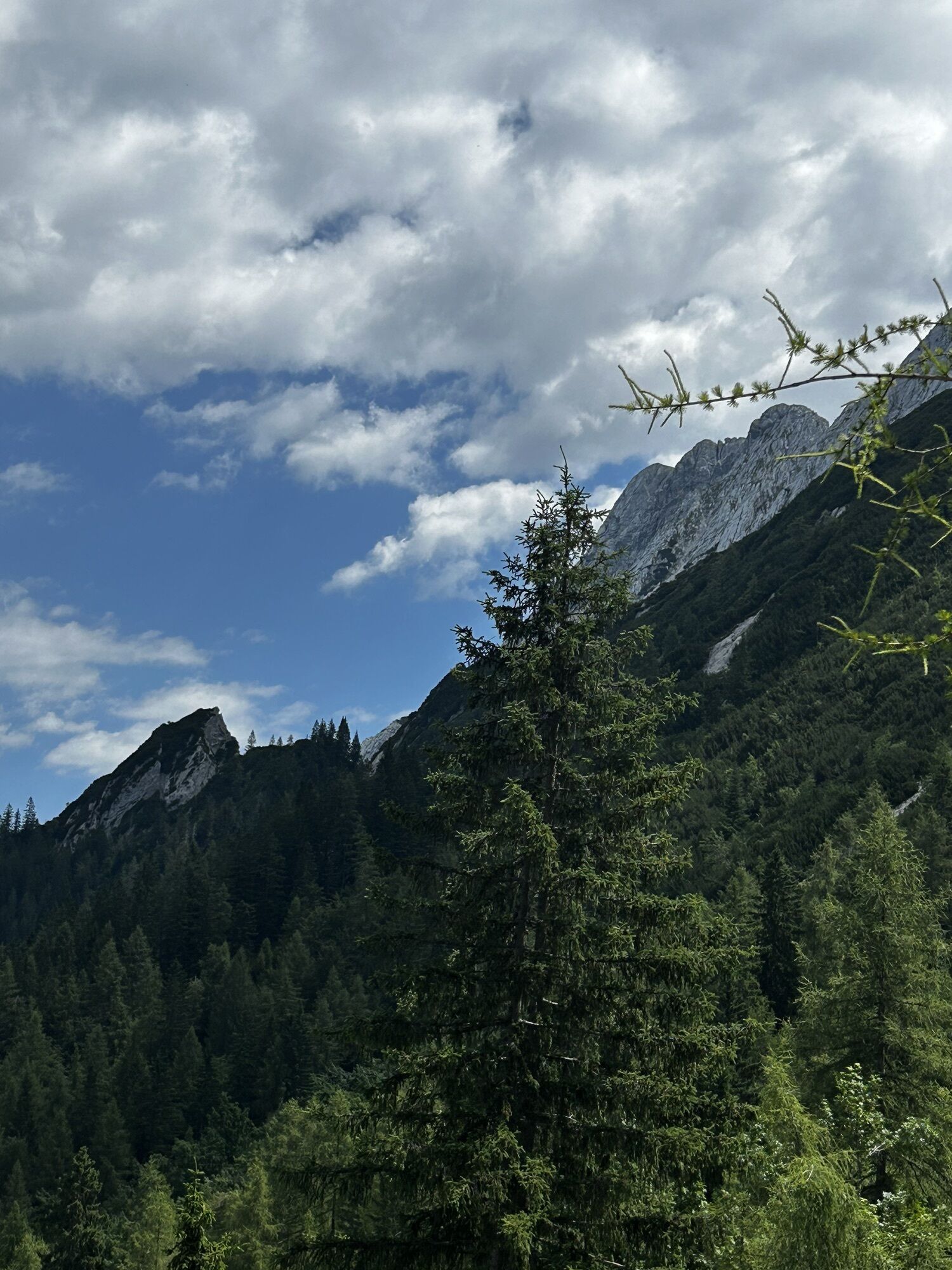
 © Andreas DeckertCréé le 17.06.2023
 -

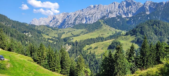
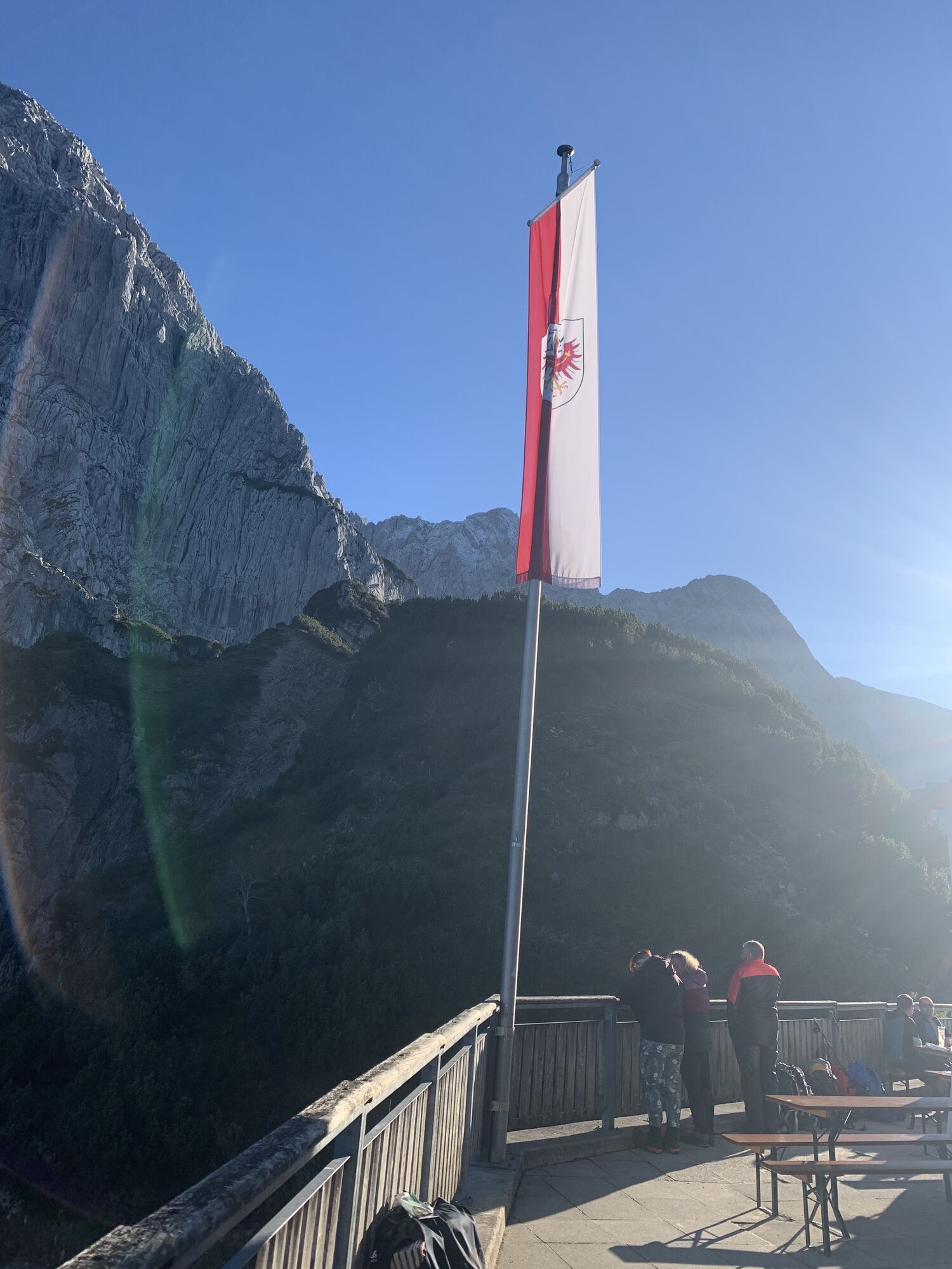
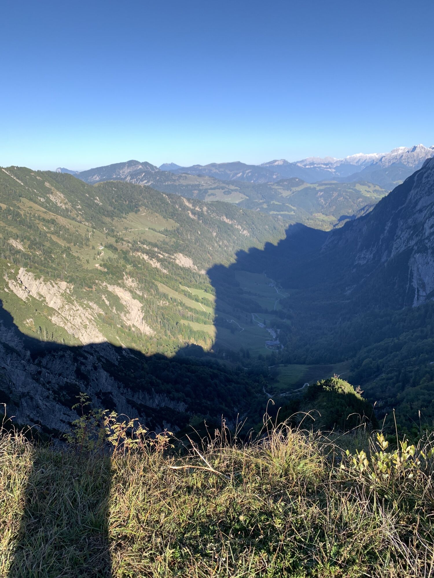
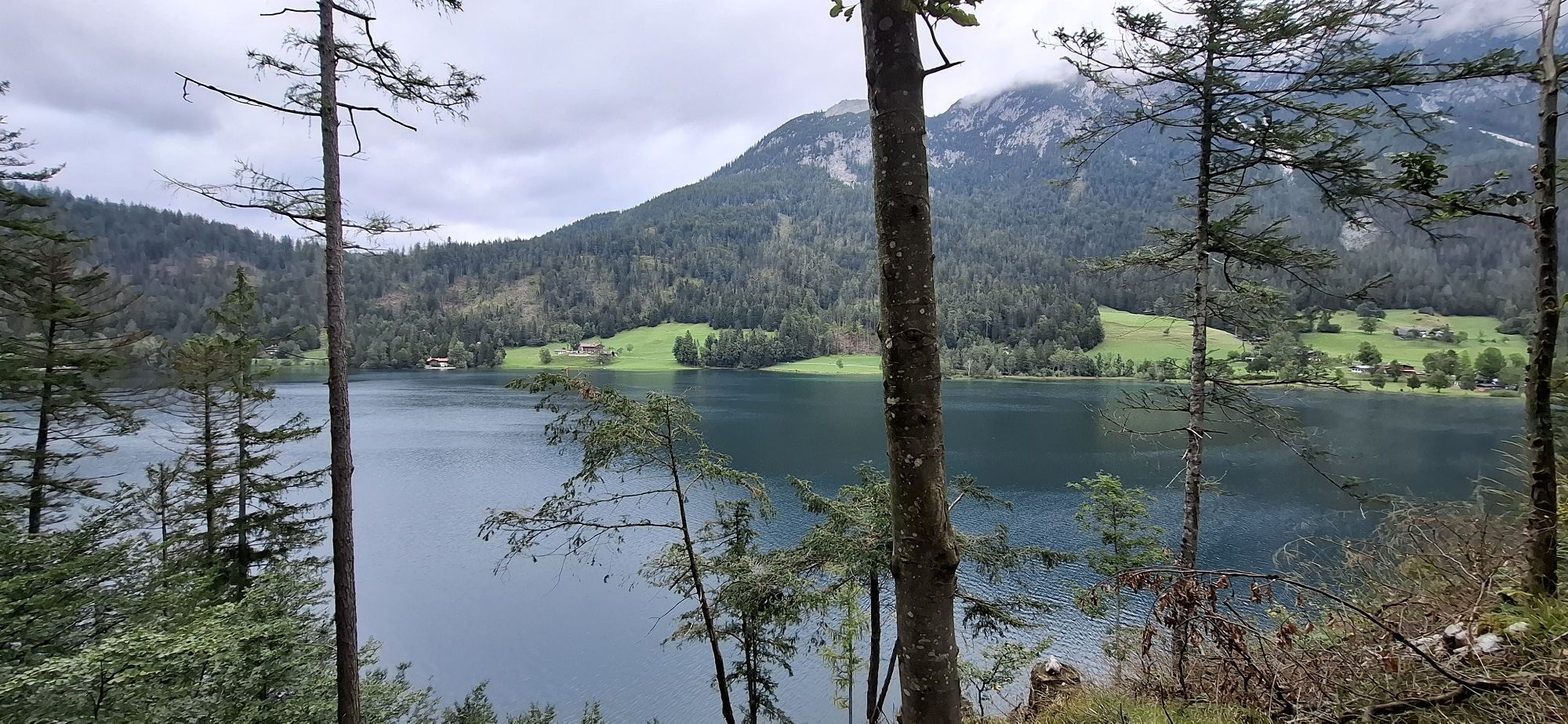
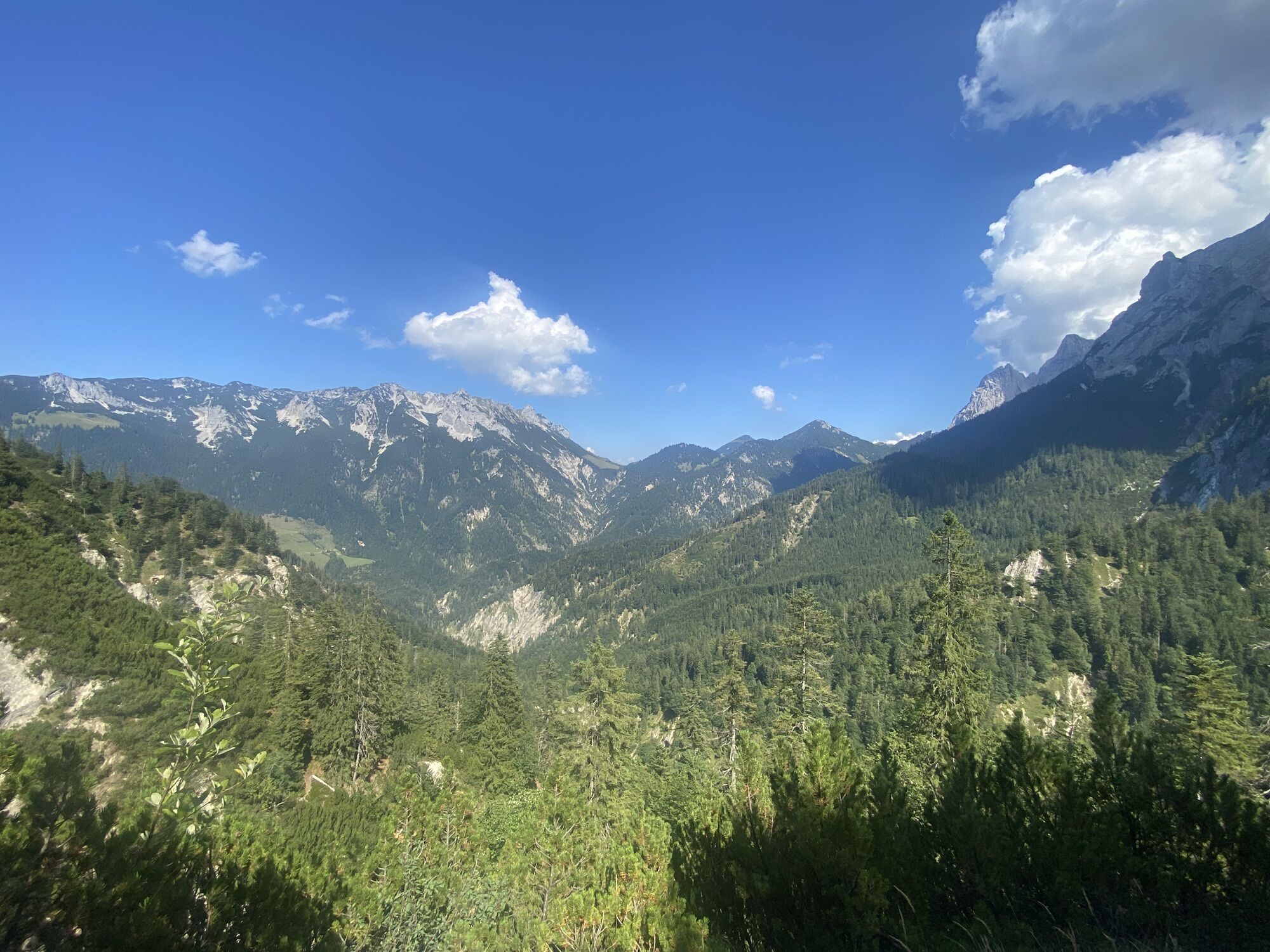
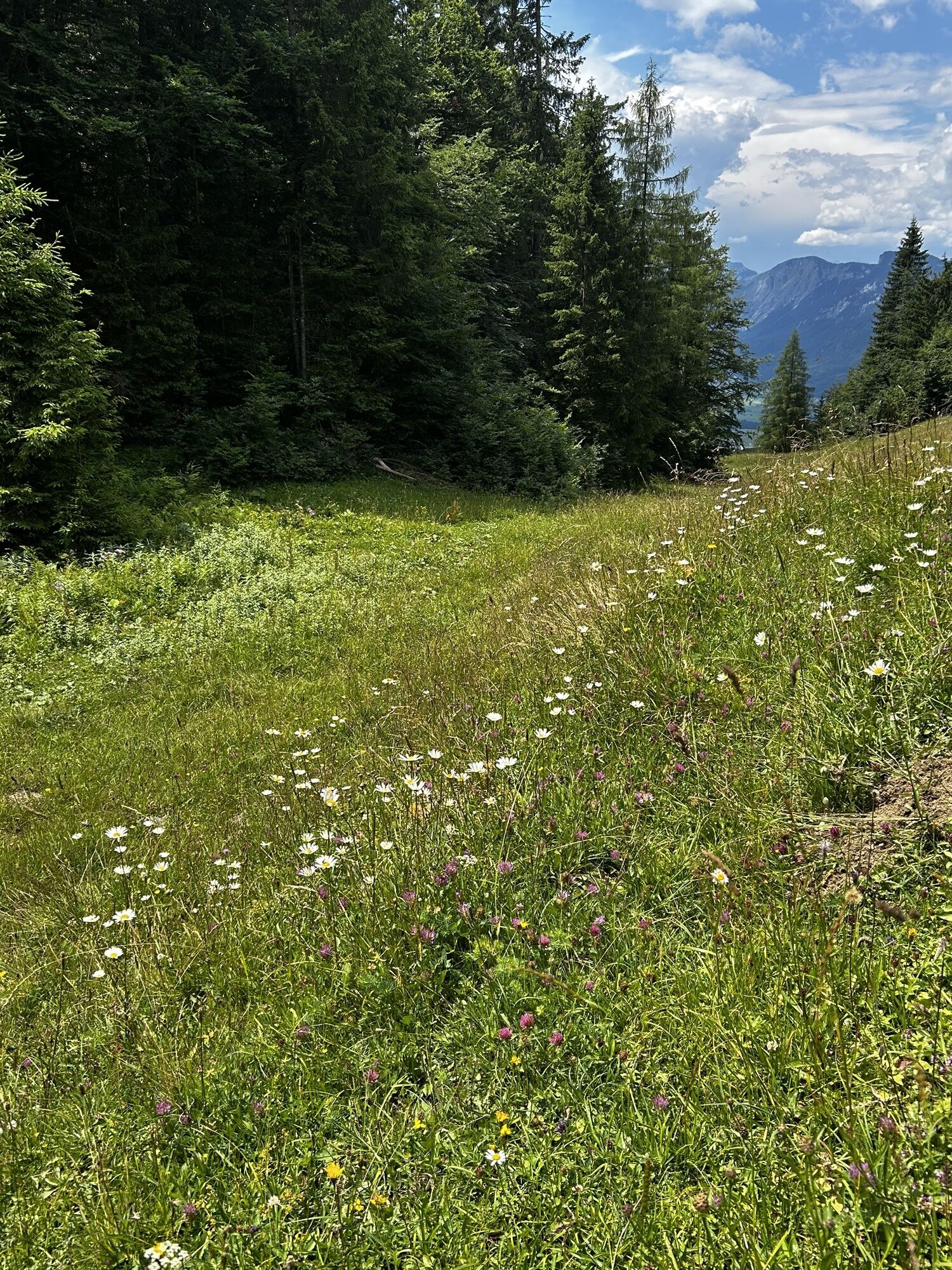
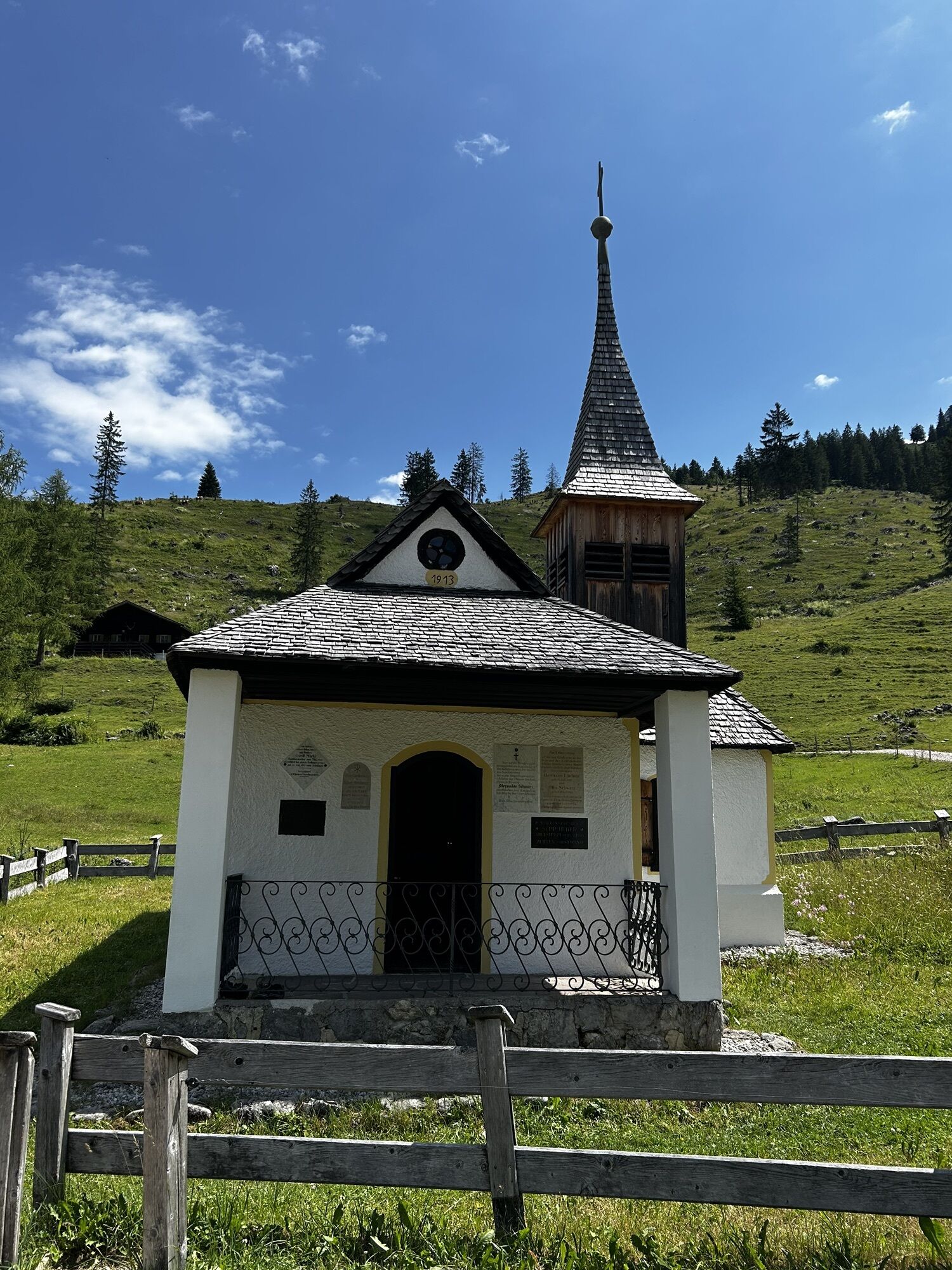
 © Hans-Peter TrippCréé le 17.06.2023
 -
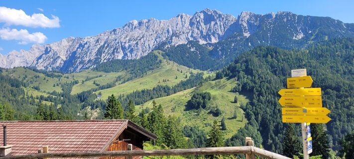
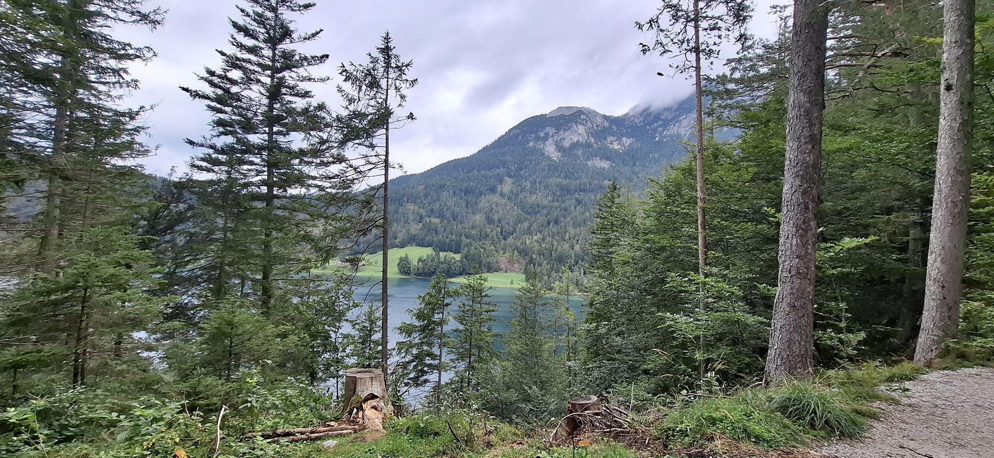
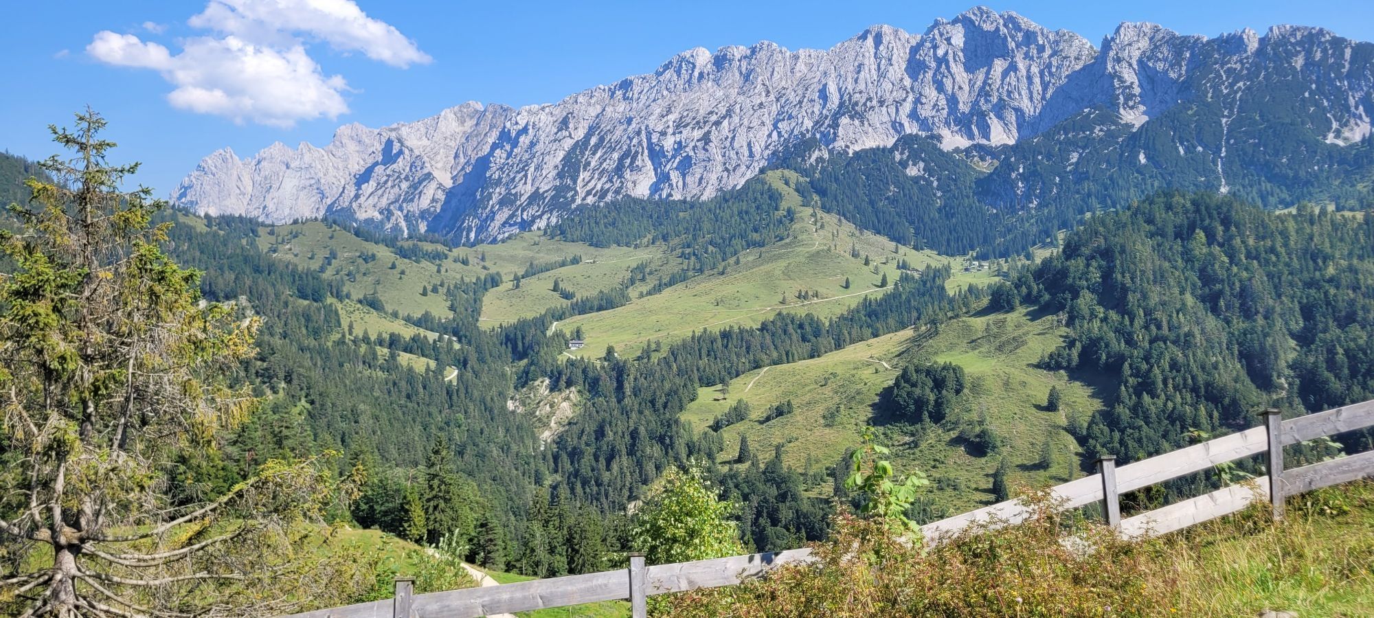
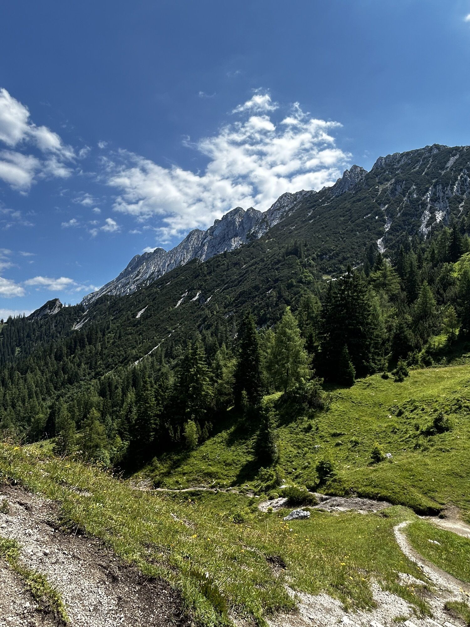
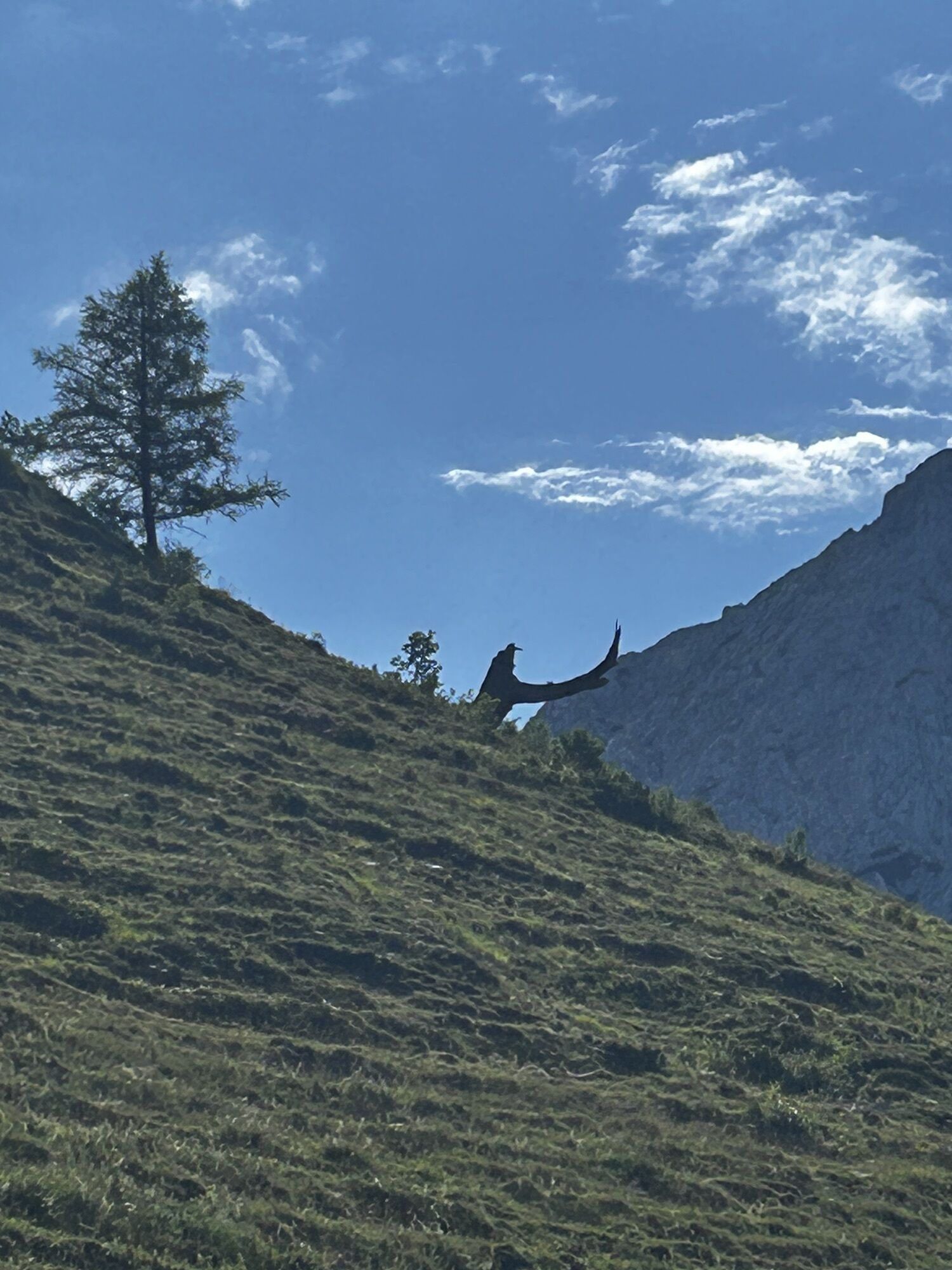
 © Hans-Peter TrippCréé le 17.06.2023
 -
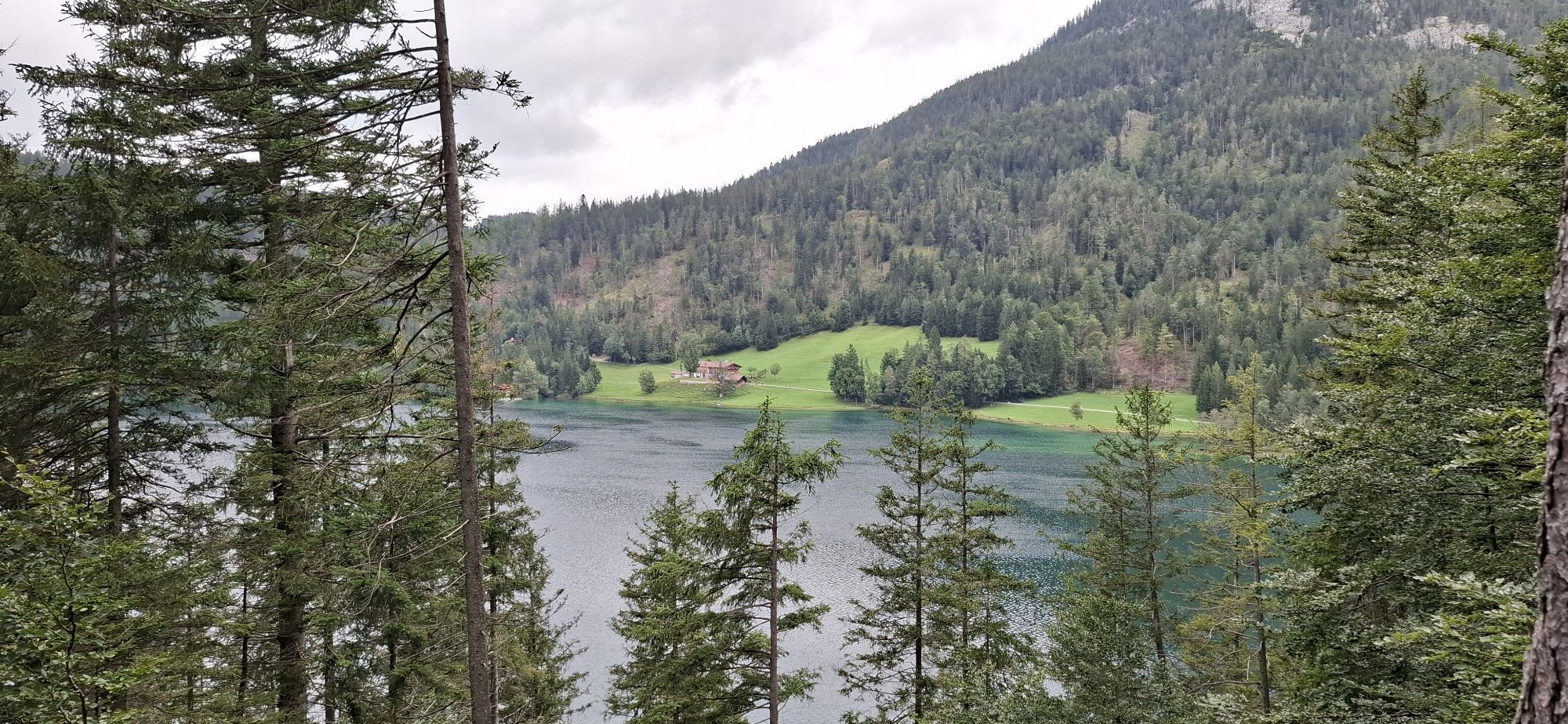
 © Hans-Peter TrippCréé le 17.06.2023
 -
 © Karsten-aus-TirolCréé le 17.07.2022
 -

 © AlexanderCréé le 20.12.2020
 -
 © AlexanderCréé le 20.12.2020
 -
 © R GugglbergerCréé le 26.04.2026
 -
 © Anja EiblmaierCréé le 21.03.2026
 -
 © Kirsten BrendelCréé le 09.10.2025
 -
 © Kirsten BrendelCréé le 09.10.2025
 -
 © Kirsten BrendelCréé le 09.10.2025
 -
 © Wilhelm BöningCréé le 03.10.2025
 -
 © Wilhelm BöningCréé le 03.10.2025
 -
 © Wilhelm BöningCréé le 03.10.2025
 -
 © Wilhelm BöningCréé le 03.10.2025
 -
 © Sandra WinkelmannCréé le 23.08.2025
 -
 © Sandra WinkelmannCréé le 23.08.2025
 -
 © Sandra WinkelmannCréé le 23.08.2025
 -
 © Sandra WinkelmannCréé le 23.08.2025
 -
 © Sandra WinkelmannCréé le 23.08.2025
 -
 © Sandra WinkelmannCréé le 23.08.2025
 -
 © Sandra WinkelmannCréé le 23.08.2025
 -
 © Sandra WinkelmannCréé le 23.08.2025
 -
 © Sandra WinkelmannCréé le 23.08.2025
 -
 © Luisa ThomsenCréé le 19.08.2025
 -

 © Markus KonzCréé le 09.08.2025
 -
 © Markus KonzCréé le 09.08.2025
 -
 © Markus KonzCréé le 09.08.2025
 -
 © Markus KonzCréé le 09.08.2025
 -
 © se_muckCréé le 09.08.2025
 -
 © se_muckCréé le 09.08.2025
 -
 © Cathrin Wagner1986Créé le 27.07.2025
 -
 © Katrin RupprechtCréé le 13.07.2025
 -
 © Katrin RupprechtCréé le 13.07.2025
 -
 © Katrin RupprechtCréé le 13.07.2025
 -
 © Katrin RupprechtCréé le 13.07.2025
 -
 © Katrin RupprechtCréé le 13.07.2025
 -
 © Katrin RupprechtCréé le 13.07.2025
 -
 © Katrin RupprechtCréé le 13.07.2025
 -
 © Katrin RupprechtCréé le 13.07.2025
 -
 © Katrin RupprechtCréé le 13.07.2025
 -
 © Katrin RupprechtCréé le 13.07.2025
 -
 © Katrin RupprechtCréé le 13.07.2025
 -
 © Christian SchindlbeckCréé le 21.06.2025
 -
 © Christian SchindlbeckCréé le 21.06.2025
 -
 © Christian SchindlbeckCréé le 21.06.2025


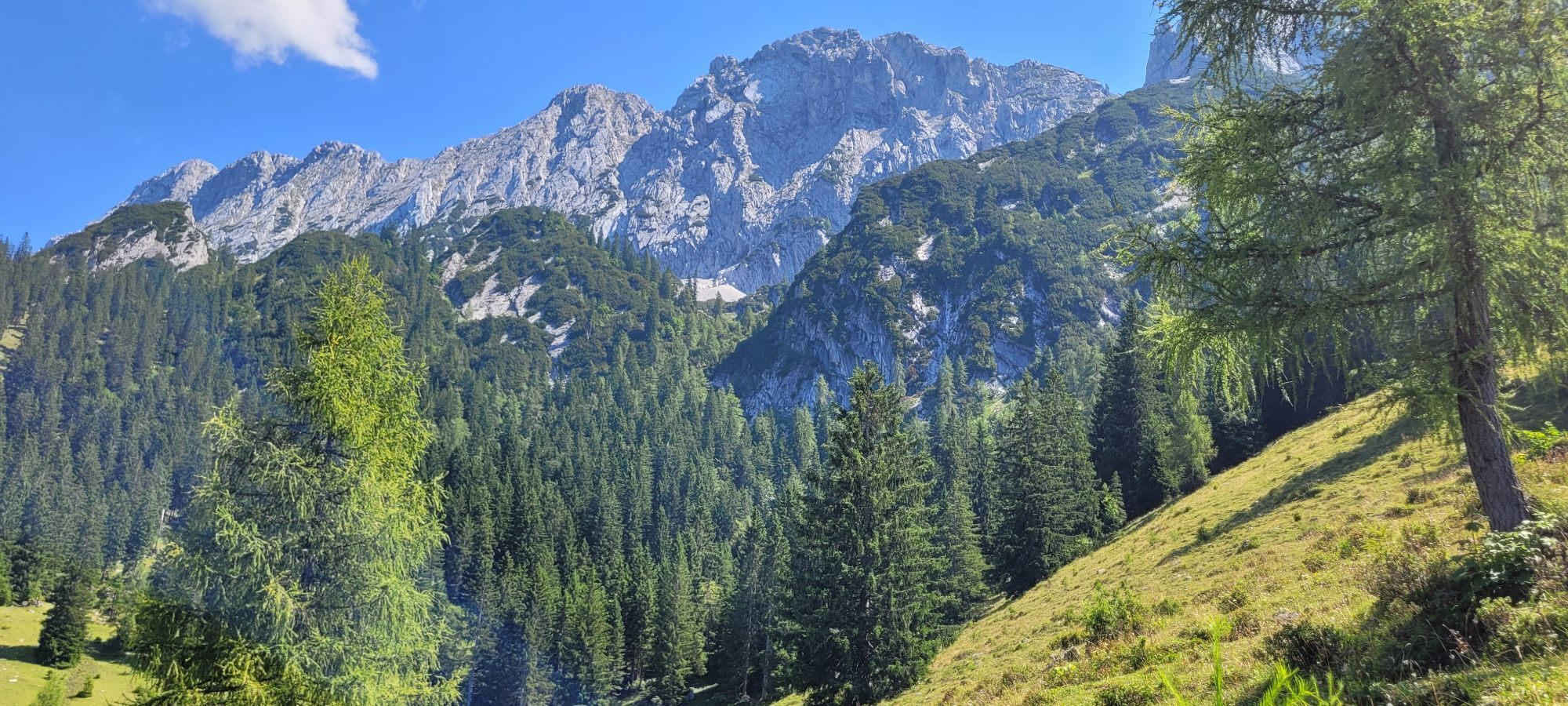


The "Kaiser's" dream tour for strong and fit hikers. Cross the Kaiser Mountains in four stages, and observe how the mountain scenery changes. For experienced mountain hikers, the tour offers two challenging...
The "Kaiser's" dream tour for strong and fit hikers. Cross the Kaiser Mountains in four stages, and observe how the mountain scenery changes. For experienced mountain hikers, the tour offers two challenging variants (climbing gear and helmet recommended!).
Day 1: Ebbs - Vorderkaiserfeldenhütte
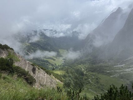
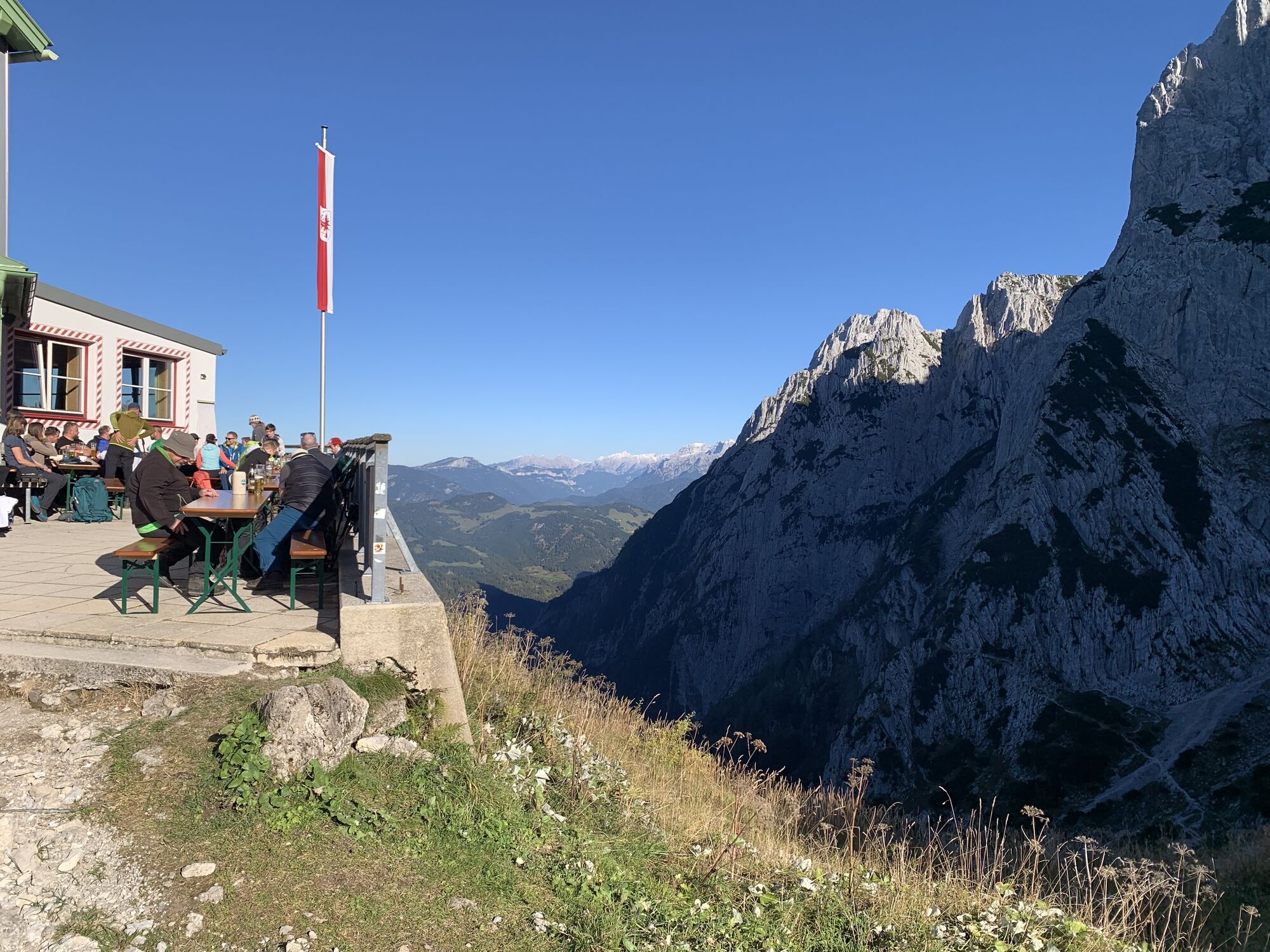
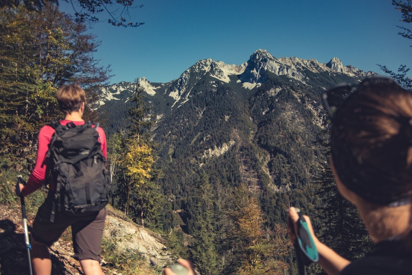
After a stress-free arrival by train and bus to Ebbs (475m). From your bus stop "Schulzentrum" you follow the main road for 100m and turn right onto Kaiserbergstraße between guesthouse Oberwirt and the church. You follow the road for about 1km through the village in the direction of Aschinger Alm, further uphill until you reach a pasture gate (signpost "Vorderkaiserfeldenhütte") and further 800m along serpentines on sealed road until you reach another signpost. Here the hiking path begins, you cross the forest road three times and via "Musikantenrast" the path leads you to the terrific, rugged faces of the Zahmen Kaiser. You follow the partly steep path along the wall base, southwest until you arrive at the Vorderkaiserfeldenhütte (1388m). From here you can go on a side trip to the Naunspitze (1633m, about 1h) or visit a garden full of alpine plants. You can also stay at the inn, relax on the terrace and enjoy the breathtaking views at the Wilder Kaiser and the whole mountain range.
about 990 Hm, 2–3 h
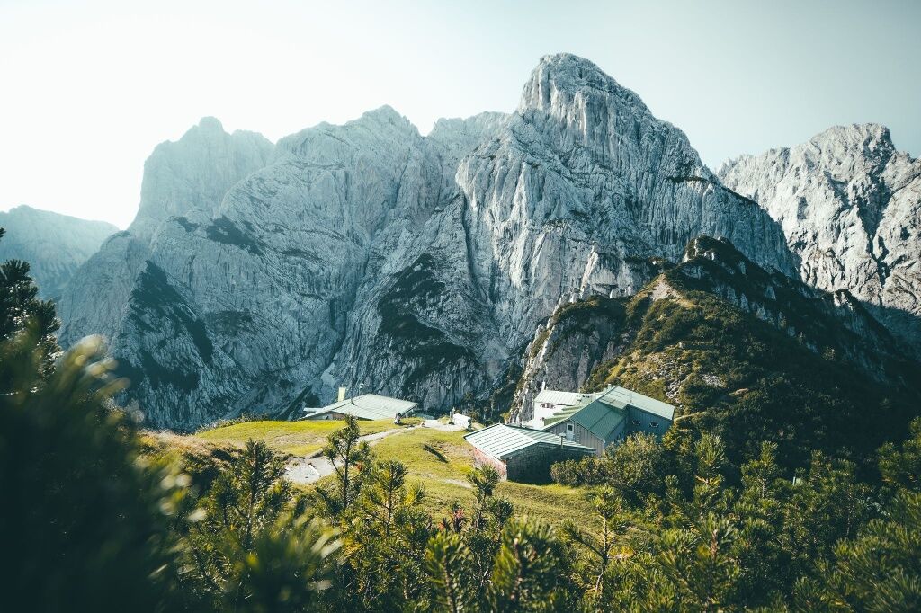
Day 2: Vorderkaiserfeldenhütte - Stripsenjochhaus
After an extensive breakfast you can choose between two options, due to your condition and surefootedness:
Easier option:
Below the hut the high route 811 in the direction of Stripsenjoch leads off. Beginning with a nearly flat passage and then with a slight ascent the path leads along the southside of the Zahmen Kaiser. At the foot of the anterior Kesselschneid the steep path to the Pyramidenspitze leads off to your left.
More difficult tour via Pyramidenspitze:
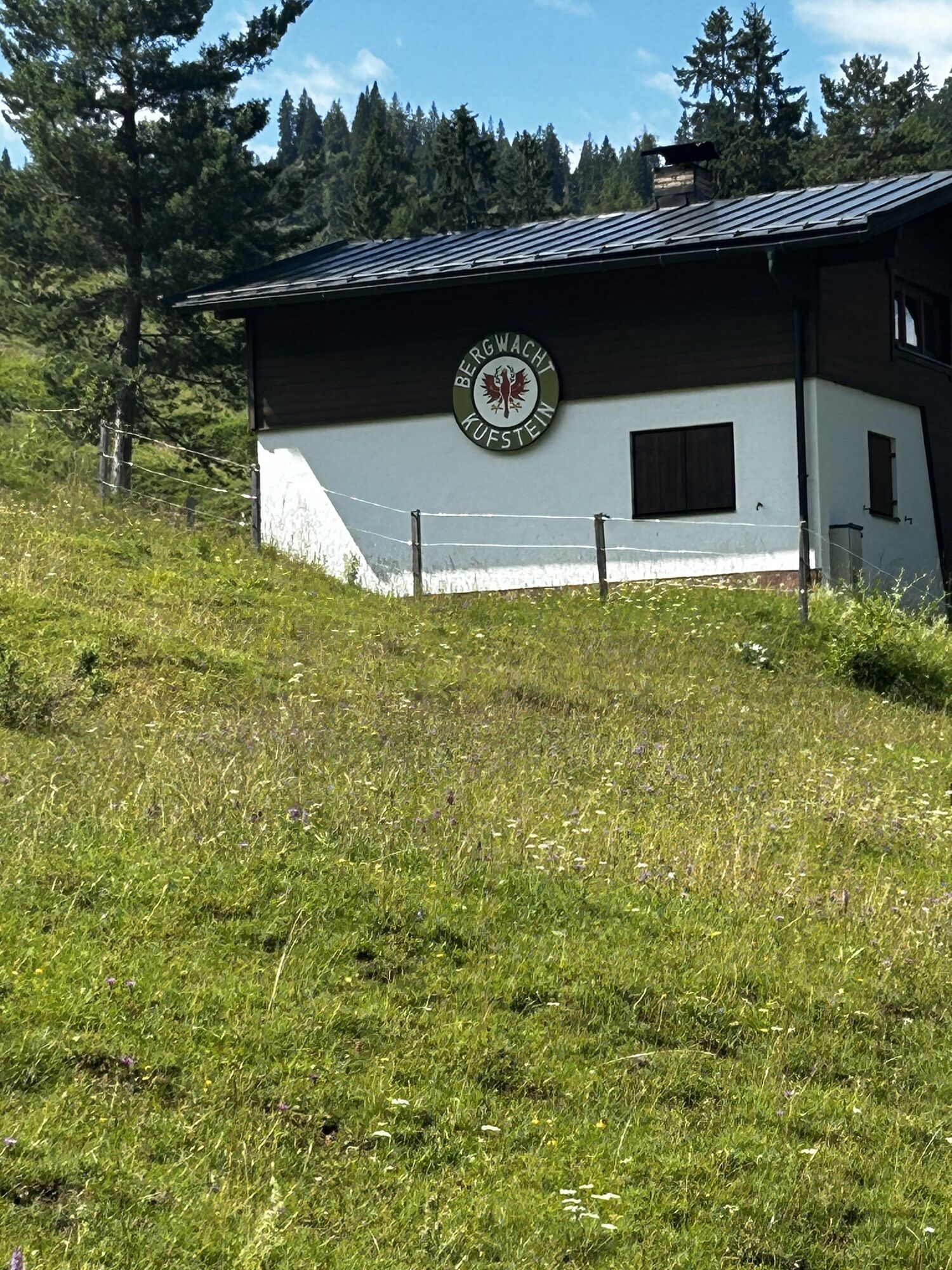
Directly next to the hut the path leads uphill through the open mountain forest in the direction of the Naunspitze and after about 30min to the Petersköpfl (1745m). This is the starting point of the summit hike via Einserkogel (1924m) and Zwölferkogel (1912m). After a short descent through the "Vogelbad" the path leads via the Elferkogel (1916m) to the Pyramidenspitze (1997m). After a further descent you will get to the high route, which leads to the Stripsenjochhaus. After a few minutes you will reach the "Kaiserquelle". Via Hochalm (1402m) and the Feldalmsattel you continue your hike to the Stripsenjochhaus (1577m). Who is keen on a further side trip, can go up to the Stripsenkopf (1807m, 1h). You stay overnight and innkeeper Willi Fankhauser will look after you and serve up tyrolean delicacies.
Easier option: 570 Hm, 5–6 h
More difficult option: 1090 Hm, 7–8 h
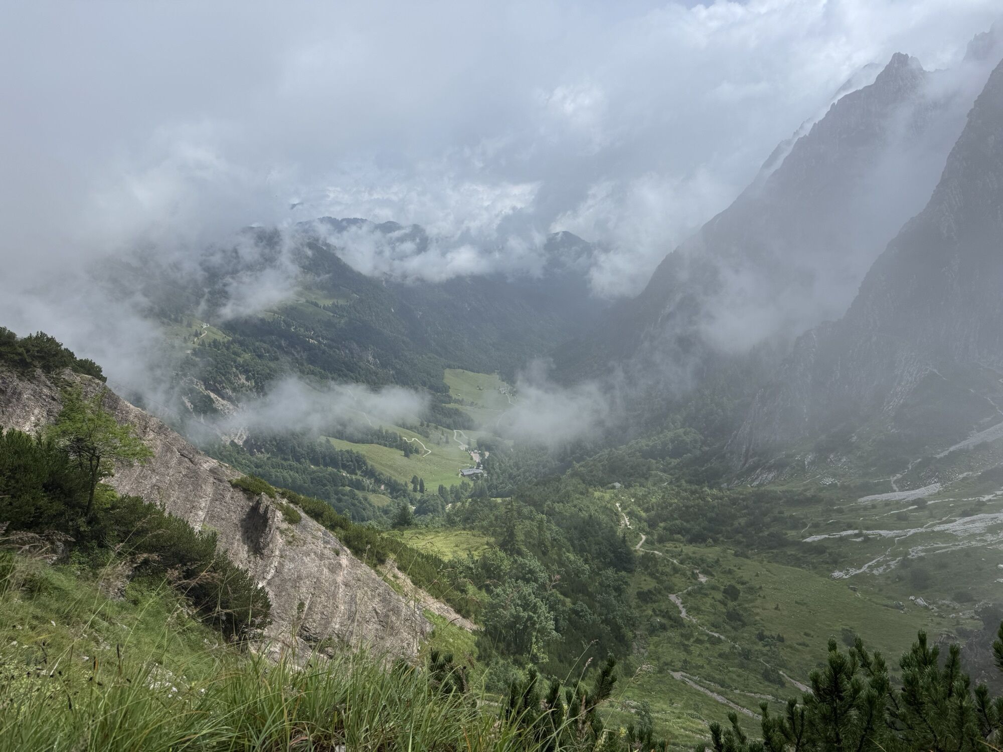
Tag 3: Stripsenjochhaus - Weinbergerhaus
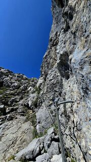
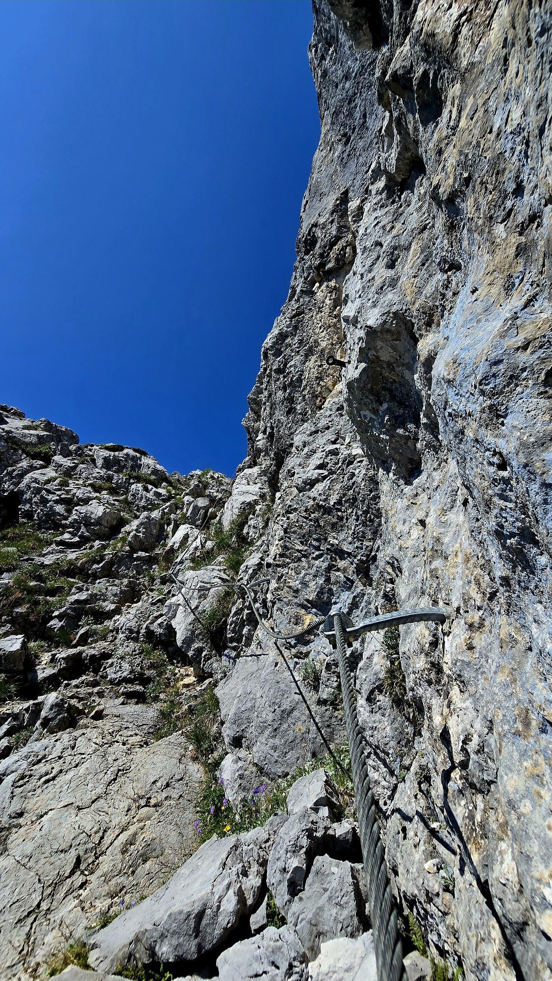
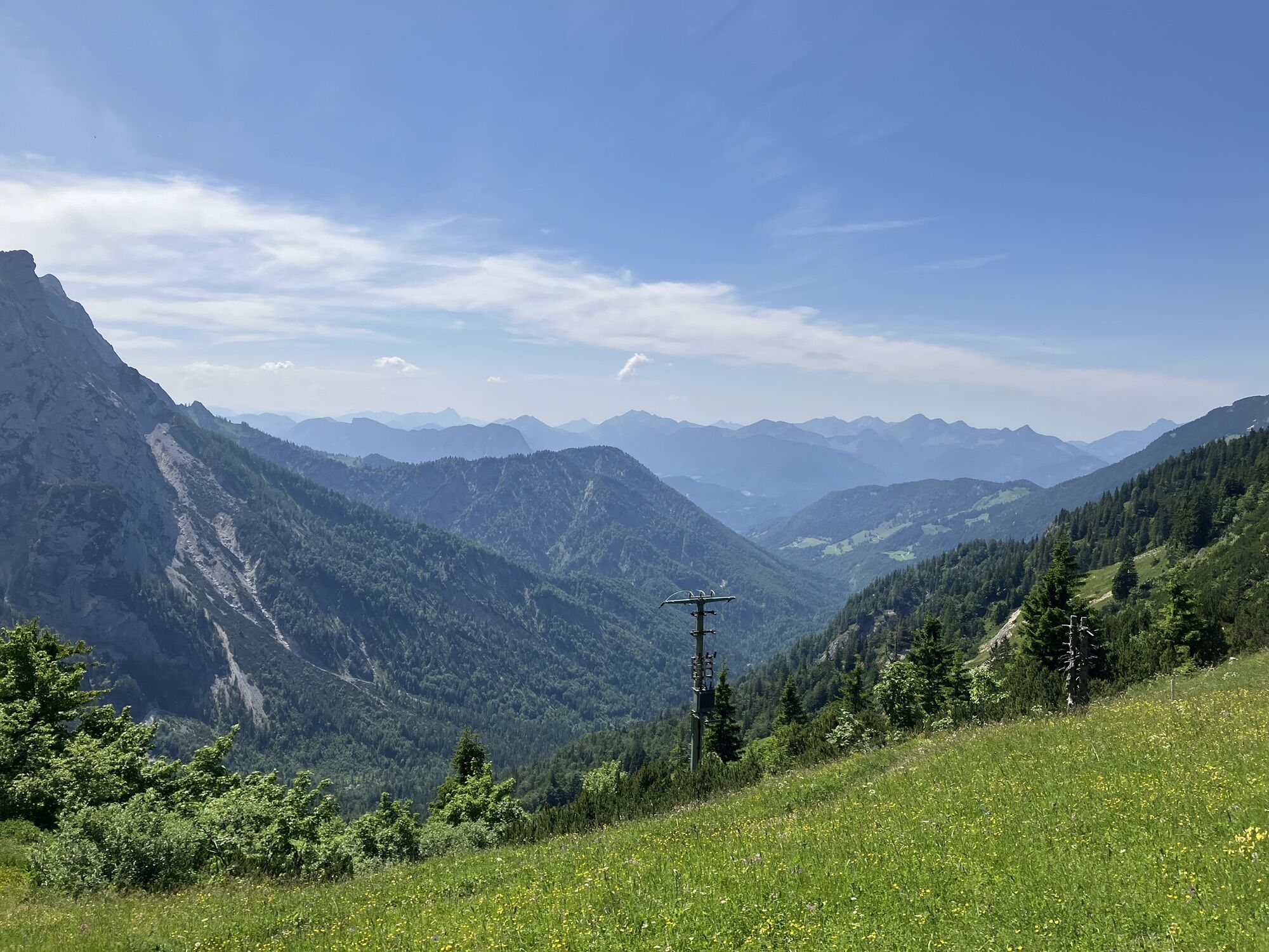
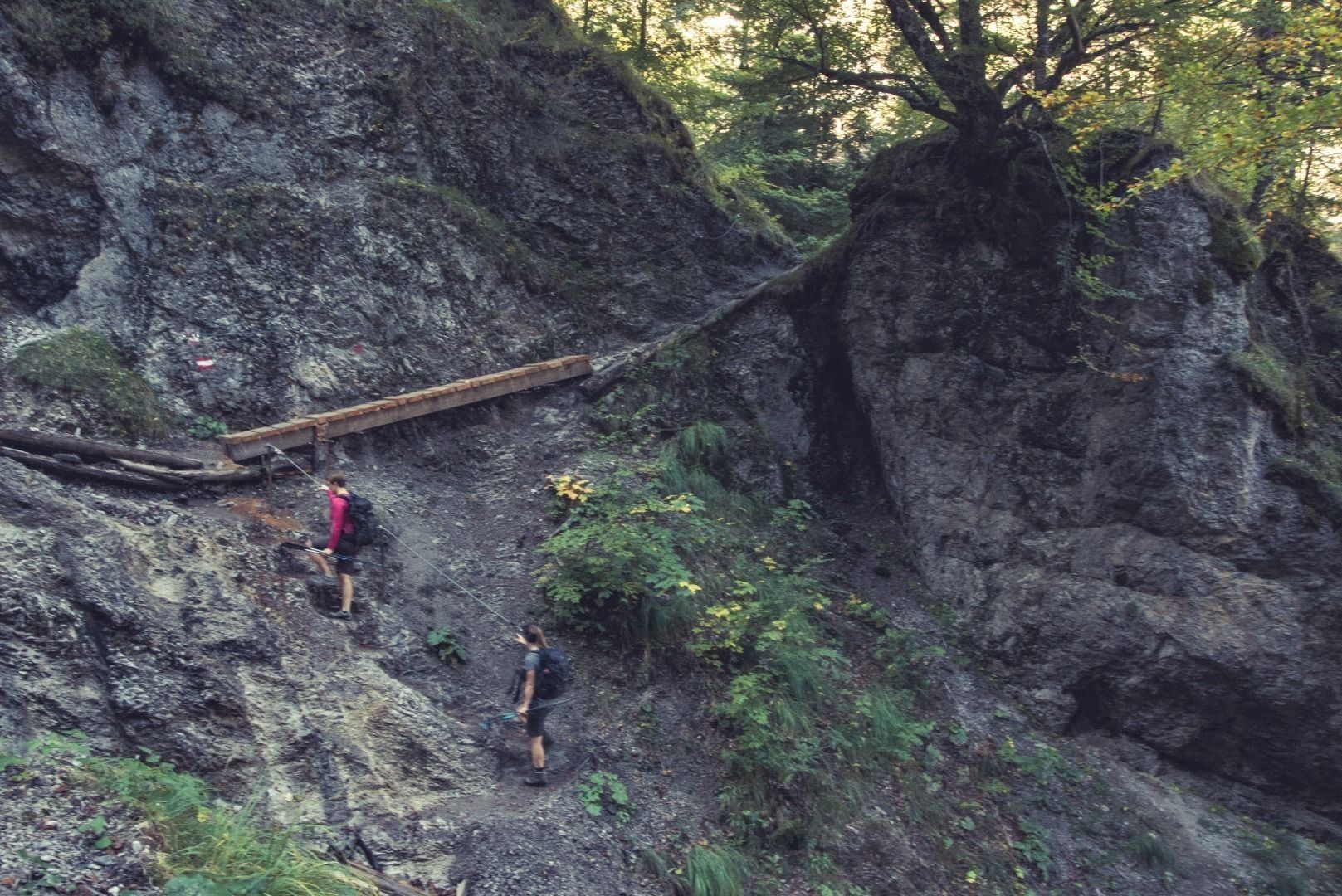
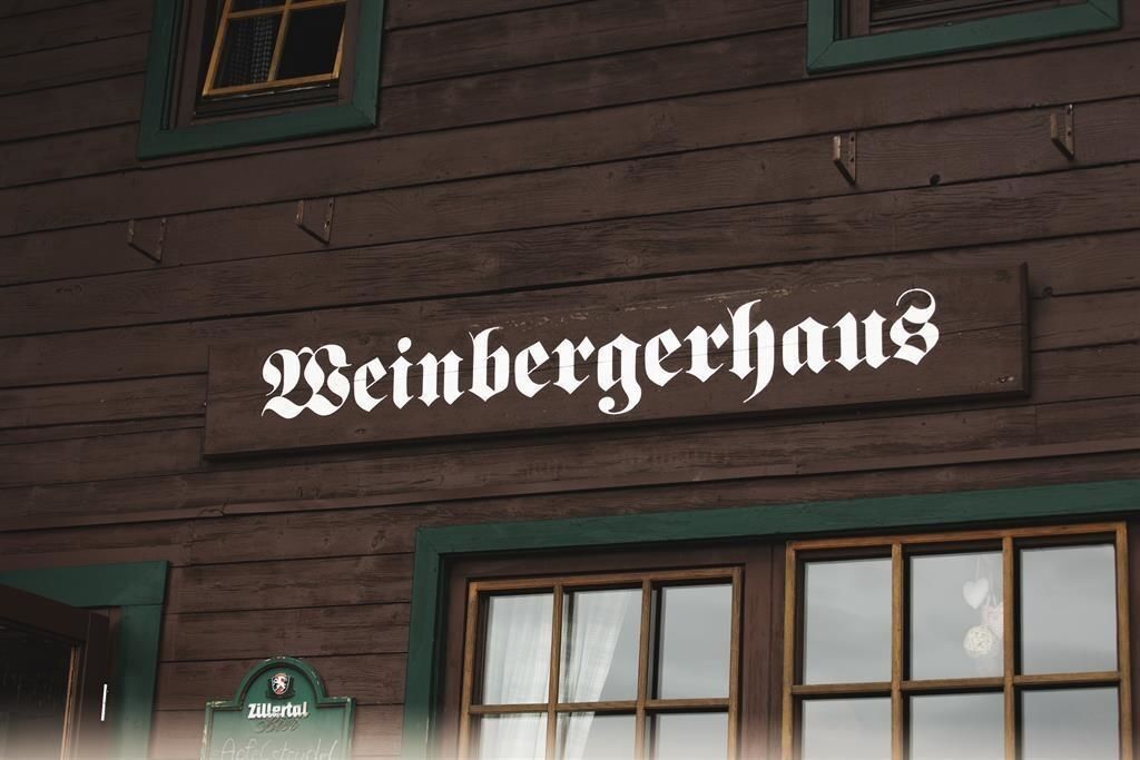
Strengthened from the berakfast you follow the serpentines downhill to Hinterbärenbad (829m). You can take a rest at the Hinterbärenbad- Anton Karg Haus to gain energy for the next ascent. From here you follow the "Bettlersteig", cross a few trenches and via partly steep passages (secured by steel ropes) taking you to point 1356m. Turn right and follow the path via Gamskogel (1449m) to Weinbergerhaus (1272m), where you stay the third night. Besides fantastic views at Kufstein and the Inn valley, you get spoiled with tyrolean delicacies.
770 Hm, 5–6 h
Day 4: Weinbergerhaus - Steinerne Stiege
After a rich breakfast the path is taking us to the Kaindlhütte. From here you can choose between two options again:
Easier option:
At the first fork in the path you follow the track up to the Hochegg (1470m) and from there slightly uphill via Walleralm and Reher to the "Steinernen Stiege" (bus station).
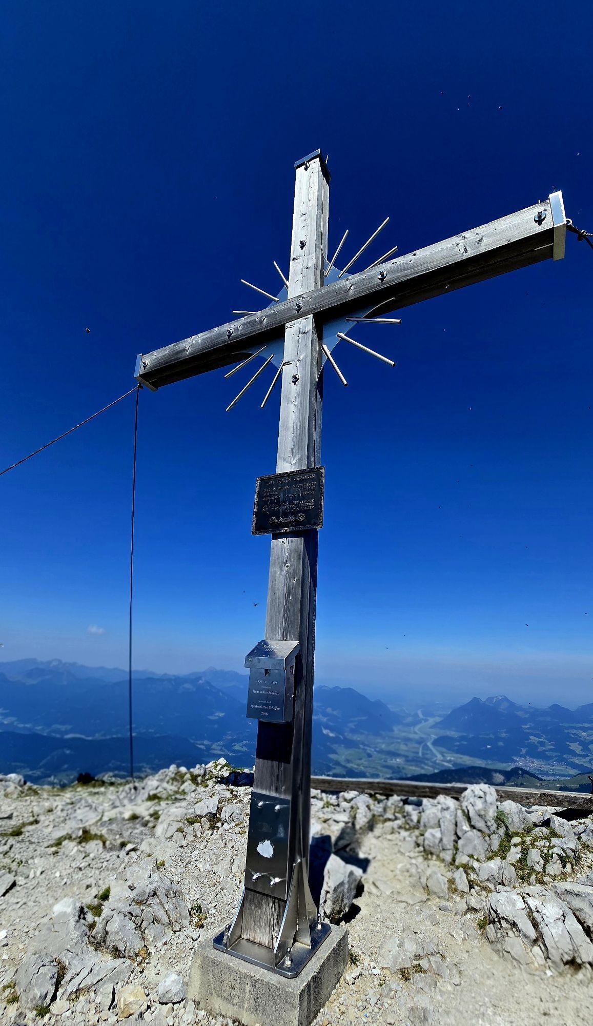
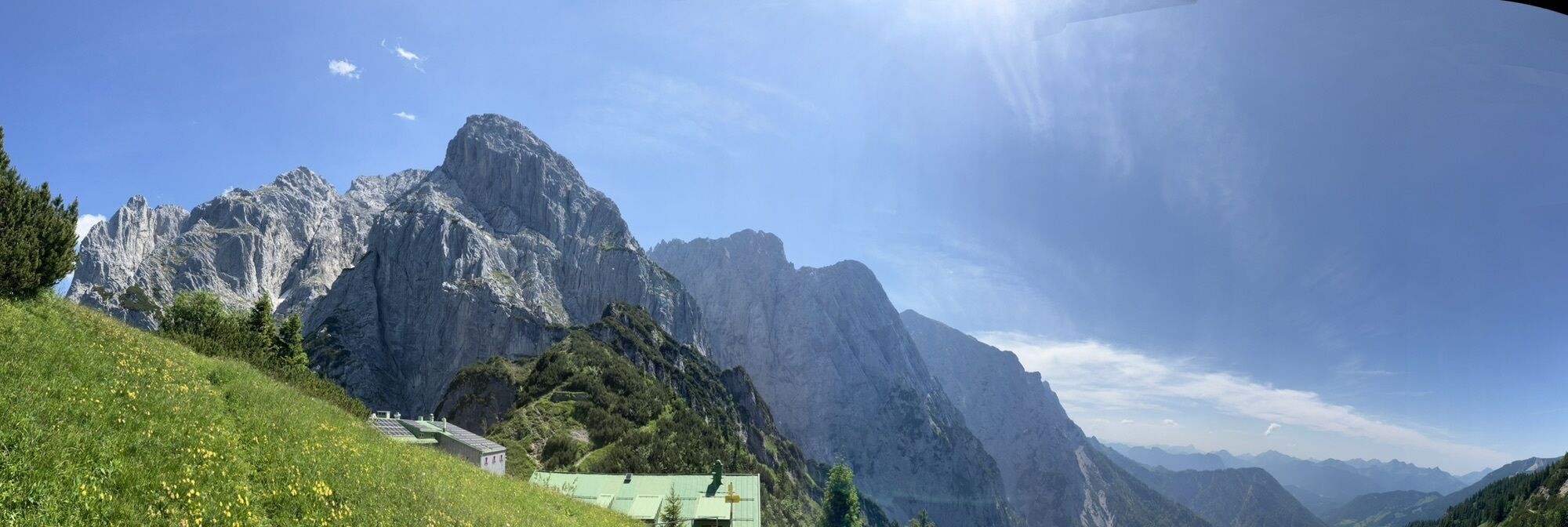
Most difficult tour via the Scheffauer (for experienced):
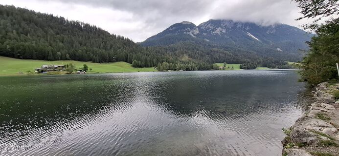
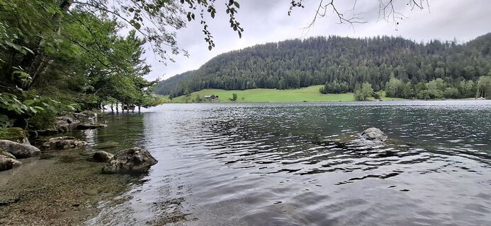
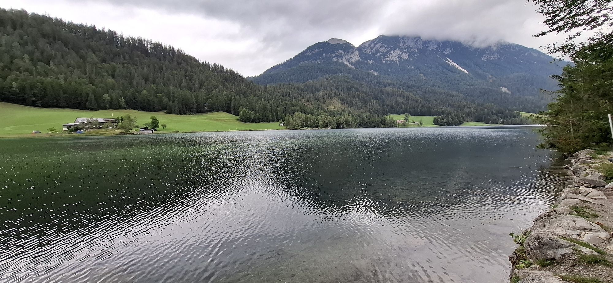
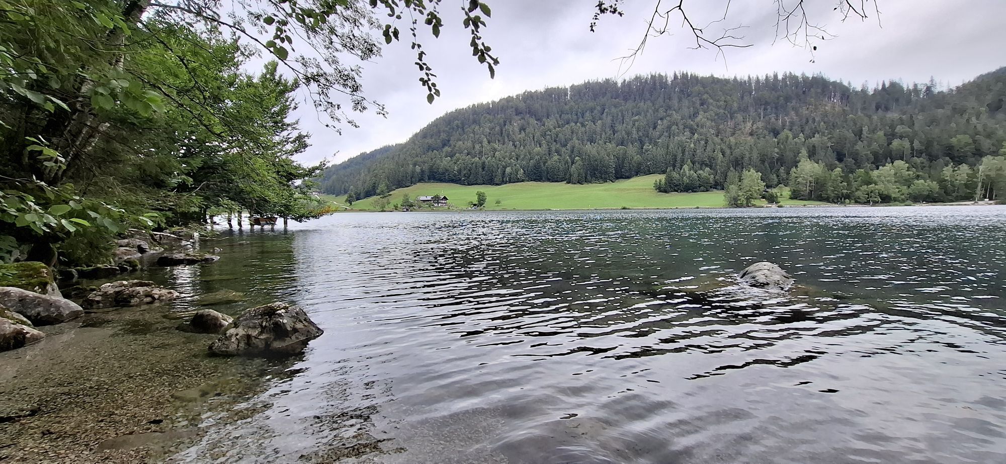
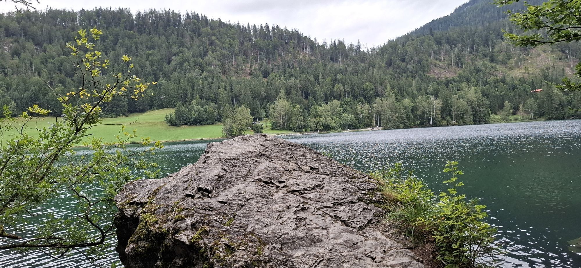
On a steep path through the forest until you reach a cirque below the northern face of the Scheffauer. Here the "Widauersteig" begins (not secured consistently, climbing equipment recommended). It leads to the ridge of the Wild Kaiser and further to the Scheffauer (2111m). From the peak back to the ridge and to the south until you reach a fork in the path after about 1,5h. Turn right in the direction of Steiner Hochalm (1257m). From here you follow the signposts to Bärnstatt/Hintersteiner See. After about one hour you will arrive at a sealed road close to the St. Leonard chapel and the inn Bärnstatt. Turn right and after a few minutes you will arrive at Hintersteiner lake at the café Seestüberl in Bichl. To hike around the lake there are two options: either you hike along the south side of the lake past the Hinterstein to Hagen or you walk along the northern side, following the road through Hinterstein to Hagen. From here you follow the signposts to the "Steinerne Stiege" (bus station).
Easier option: 340 Hm, 5 h
Most difficult option: 1020 Hm, 6–7 h
Sufficient food for all days (check availability at the huts)
First aid kit
Cell phone with full battery and cell phone charger
Hiking map and guide literature
Sun protection (sunglasses, sunscreen and cap)
Overnight essentials, hut sleeping bag, etc.
Rain protection
Cash
From the Inn motorway, take the Niederndorf/Oberaudorf exit and reach Ebbs without the need for an Austrian vignette. Return to Ebbs with regional buses (lines 4902) first to Kufstein and from Kufstein station further to Ebbs (lines 4036, 4030).
With the KufsteinerlandCard within the region bus free of charge.
School center Ebbs, free of charge.
Parcours populaires à proximité
-
4,7
Kirchdorf: Zur geheimnisvollen Teufelsgasse
moyenRandonnée 7,90 km -
5,0
Priener Hütte
moyenRandonnée 7,99 km -
5,0
Kirchdorf: Stripsenjoch Klettersteige
difficileVia ferrata 3,76 km -
4,6
Geigelstein
moyenRandonnée 14,5 km -
4,5
Über Hintersteinersee und Walleralm aufs Hochegg
facileRandonnée 12,2 km -
4,5
Wanderung um den Hintersteinersee
facileRandonnée 5,29 km -
4,7
Musikantensteig zur Naunspitze
moyenRandonnée 8,96 km -
4,2
Bergdoktor Wohnhaus "Gruberhof" (Köpfing Hof) Rundeweg-Söll
facileRandonnée 8,70 km -
4,4
Wanderung: Spitzstein und Altkaseralm von Sachrang
moyenRandonnée 4,03 km -
4,7
Hintersteinersee
moyenRandonnée 9,87 km
Randonnée et suivi


Ne manquez pas les offres et l'inspiration pour vos prochaines vacances
Votre adresse électronique a été ajouté à la liste de diffusion.