






3-day mountain hut walk - stage 2



Sounds of the harp, fresh buttermilk and cool refreshment for tired feet!
Starting from the Gruttenhütte mountain hut, head west on road 14a. After around 15 minutes, climb a few steps as you turn on to...
Sounds of the harp, fresh buttermilk and cool refreshment for tired feet!
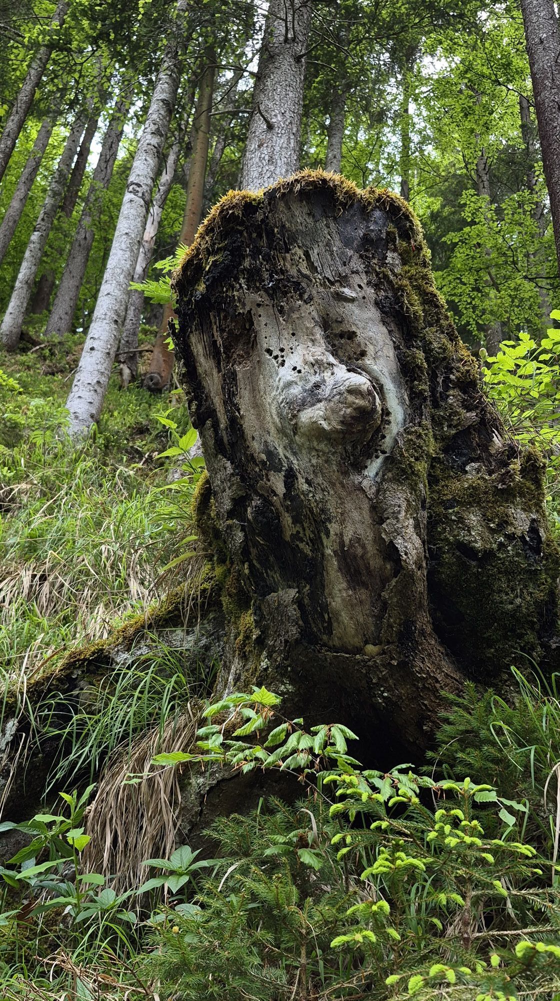
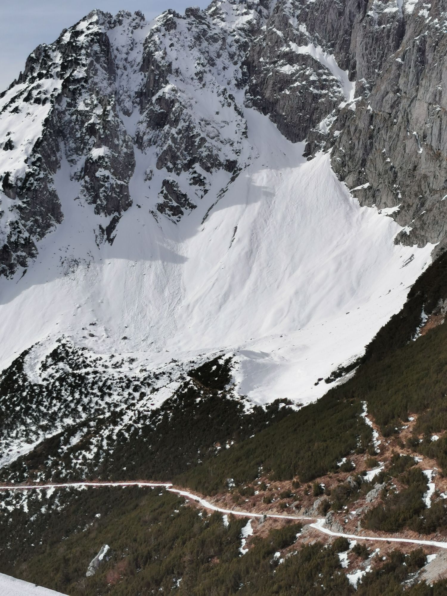
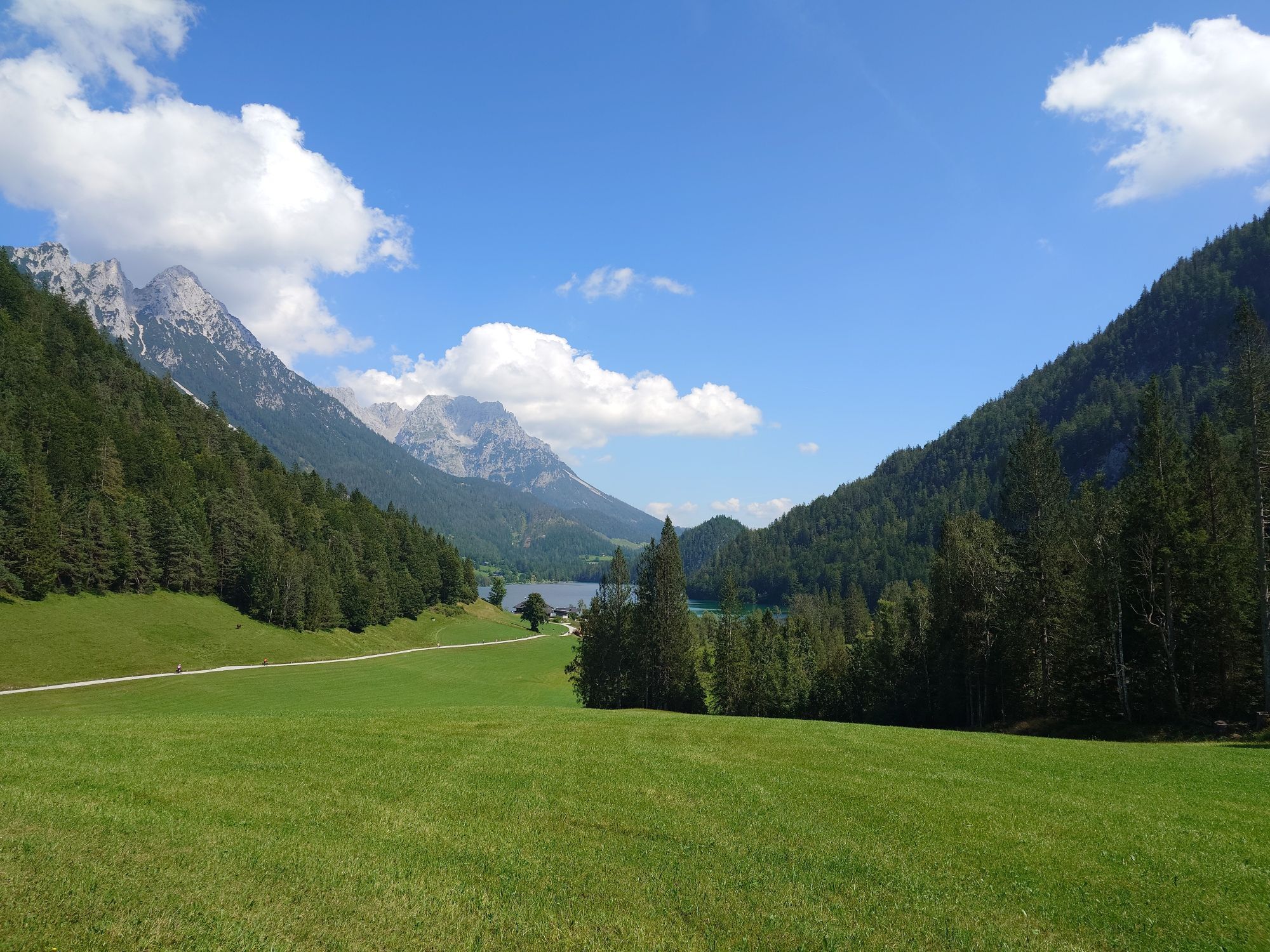
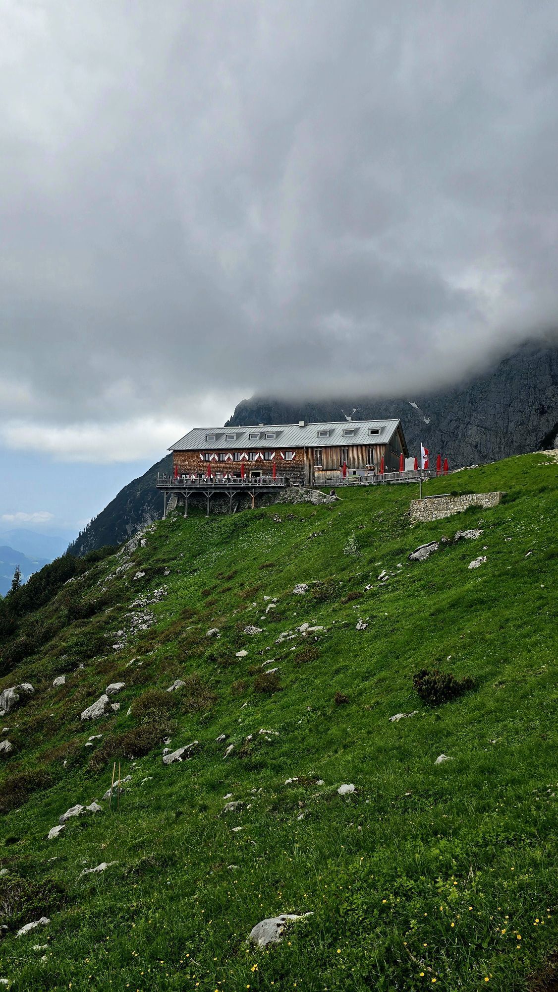
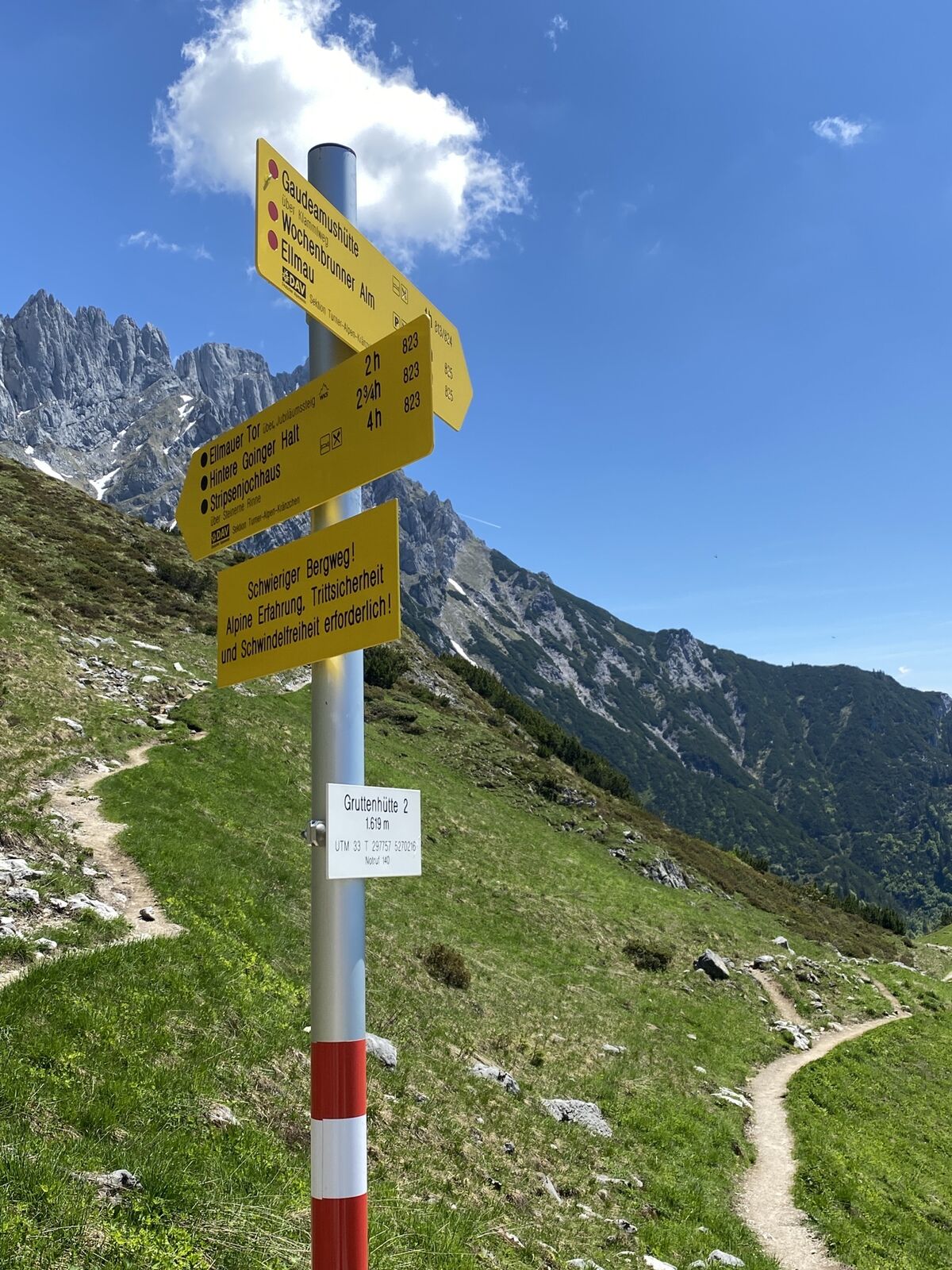
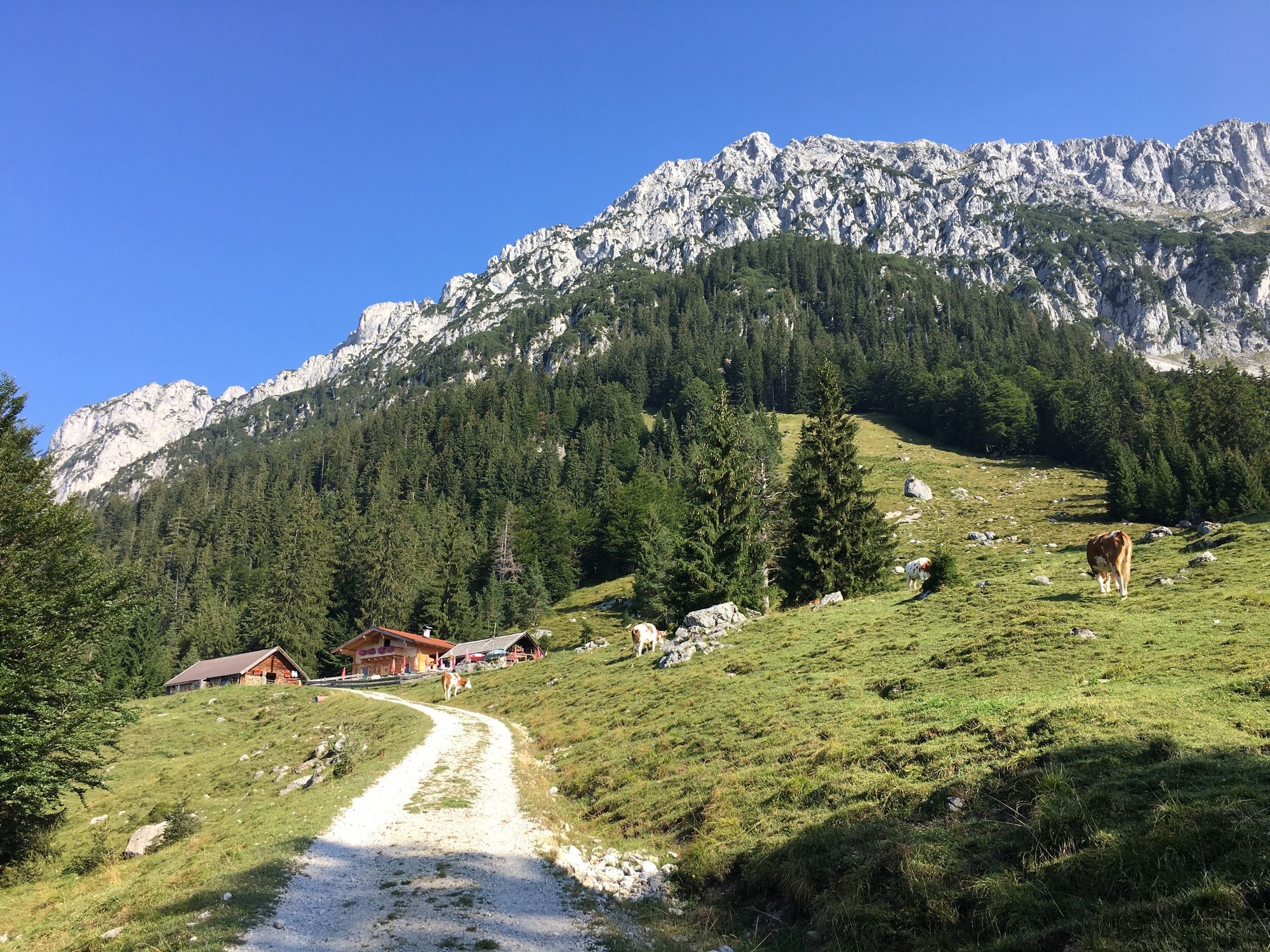
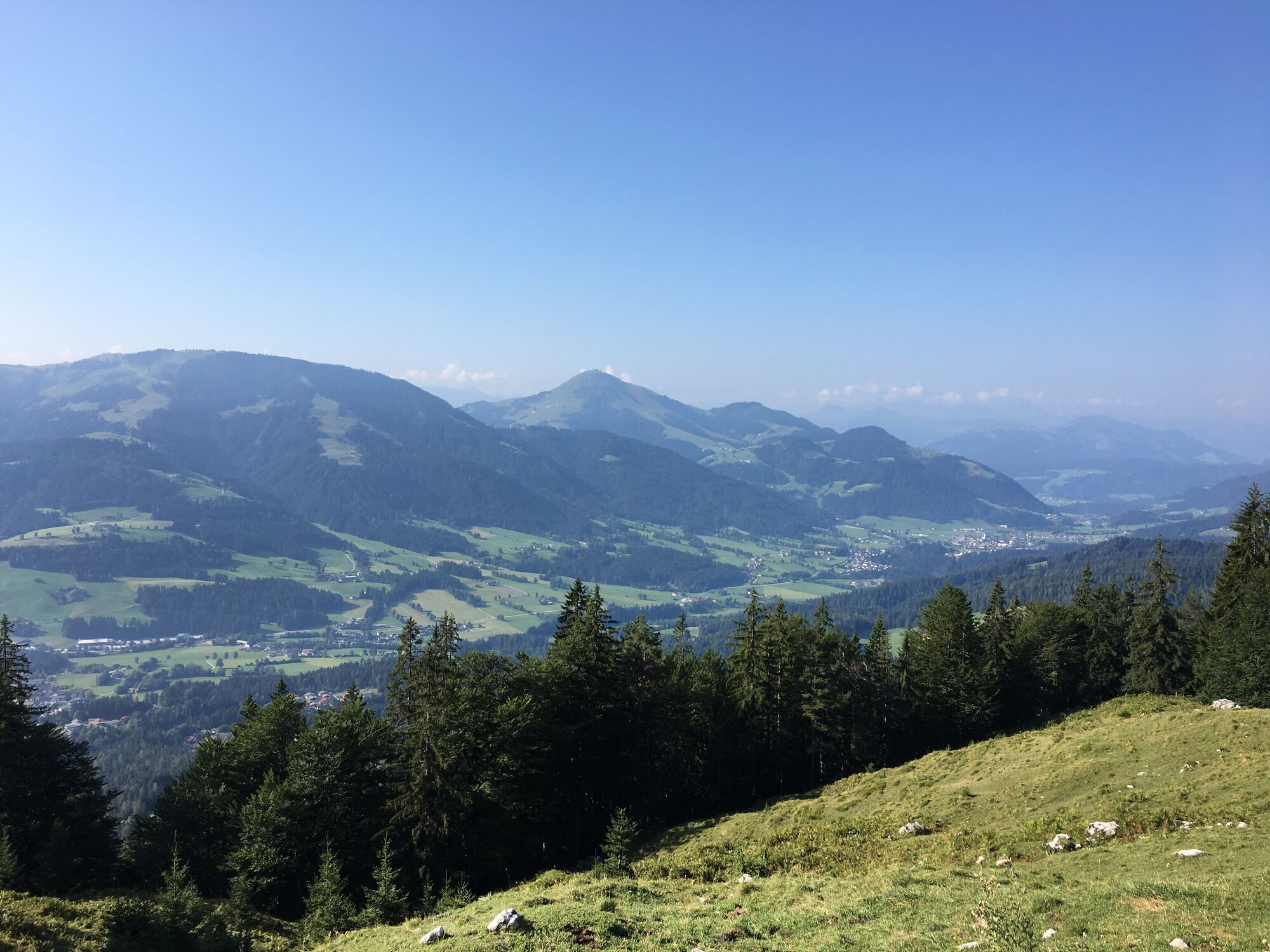
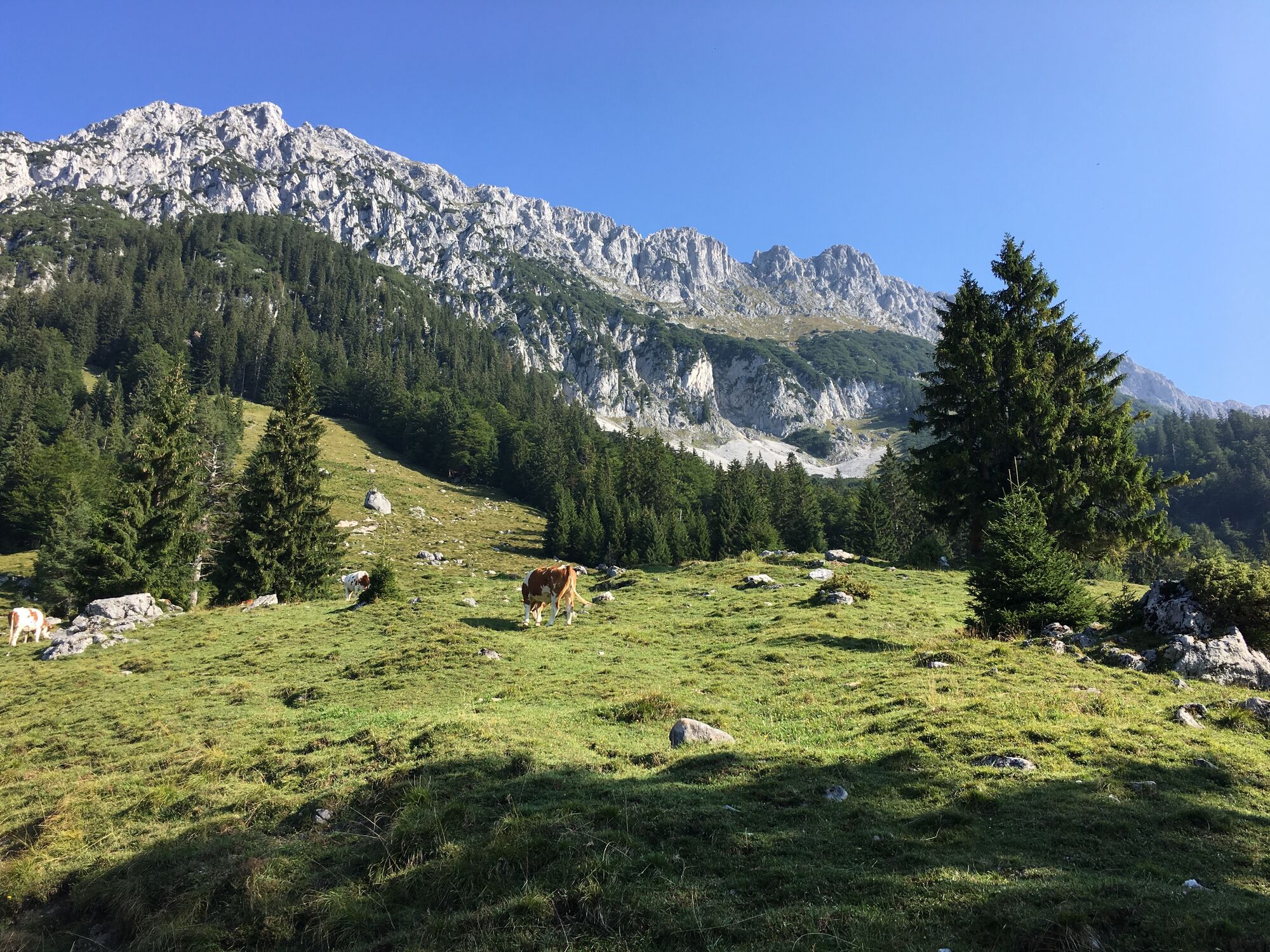
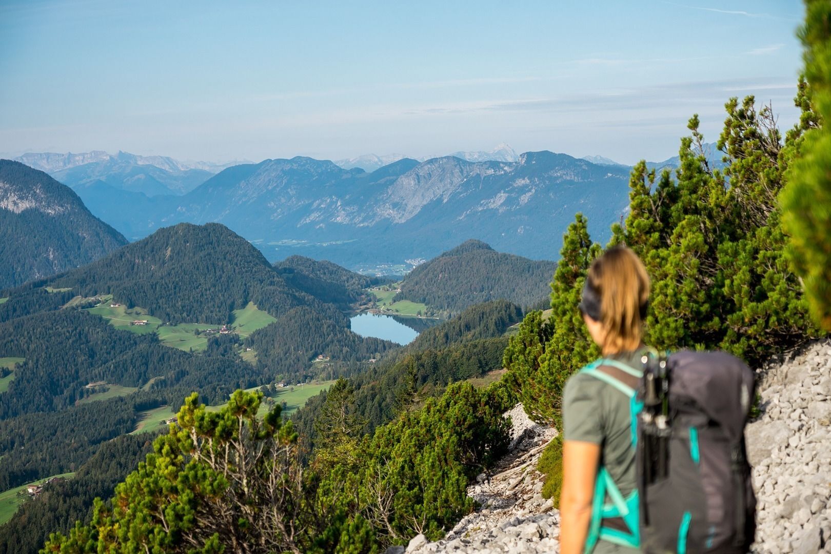
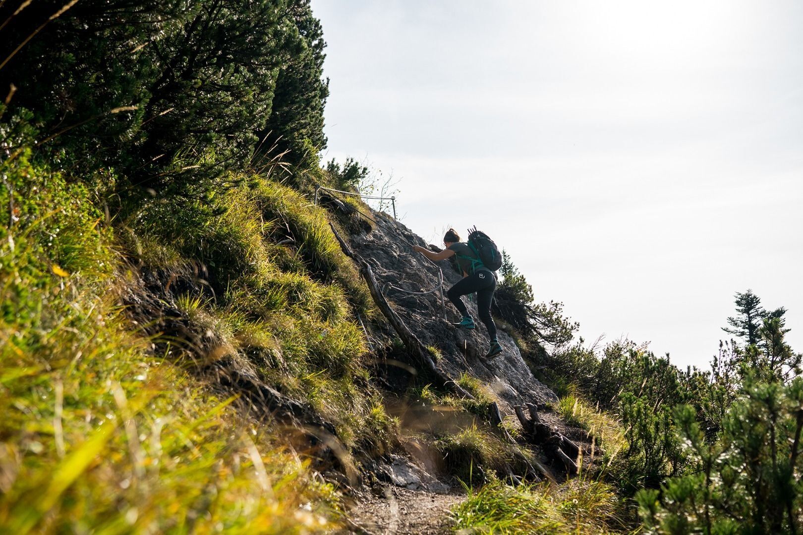
Starting from the Gruttenhütte mountain hut, head west on road 14a. After around 15 minutes, climb a few steps as you turn on to the Wilder-Kaiser-Steig trail (WKS) no. 823 beneath the Kaiserkopf mountain. Stay on the WKS heading in a northwesterly direction, walking beneath the Treffauer and Tuxeck summits via the Lenggries (one of the largest gravel cirques in the Wilder Kaiser region). As you pass by aromatic mountain pines and through mountain forests, the Kitzbühel Alps and the glaciers of the Hohe Tauern mountain range are always in view.
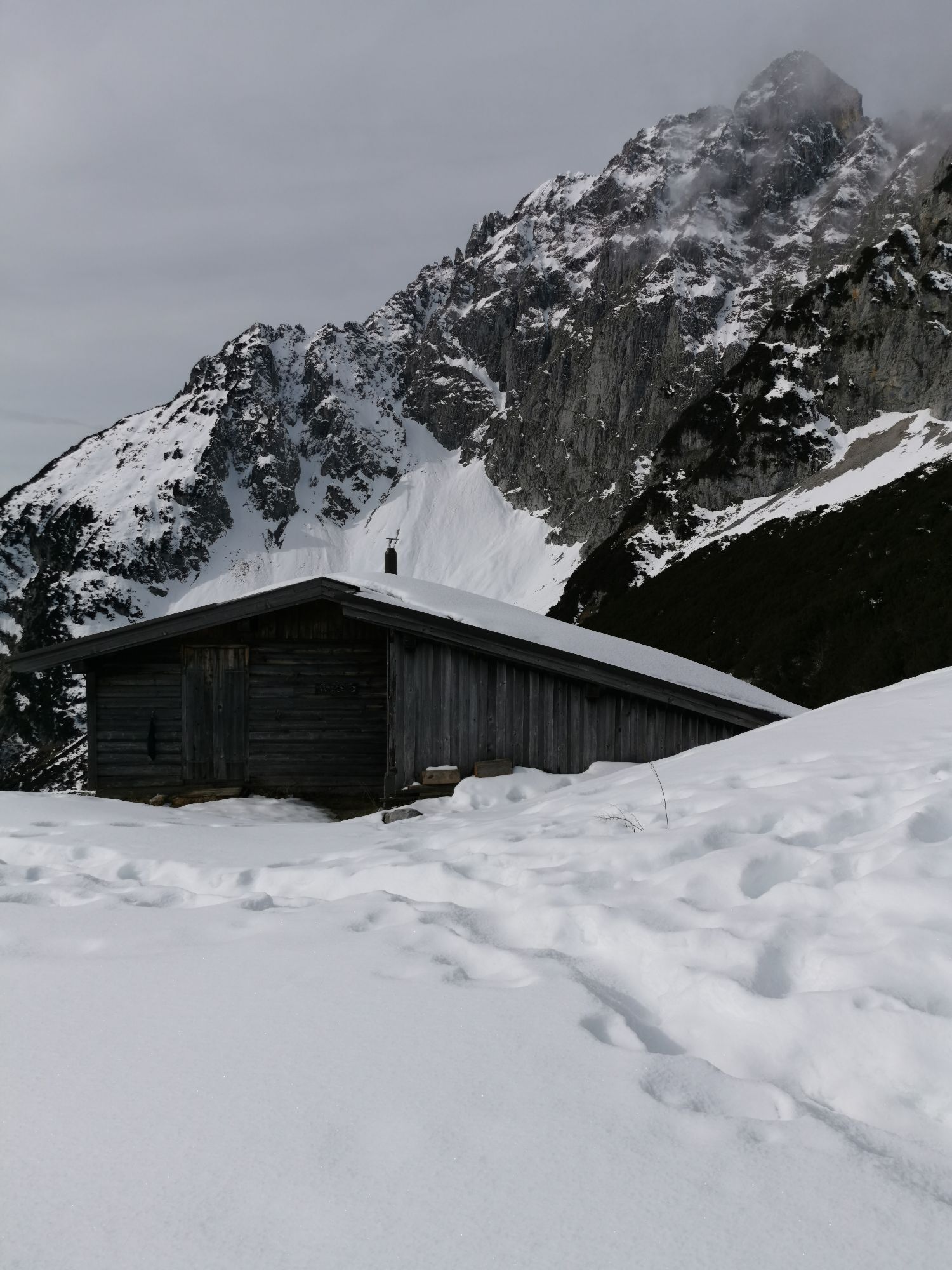
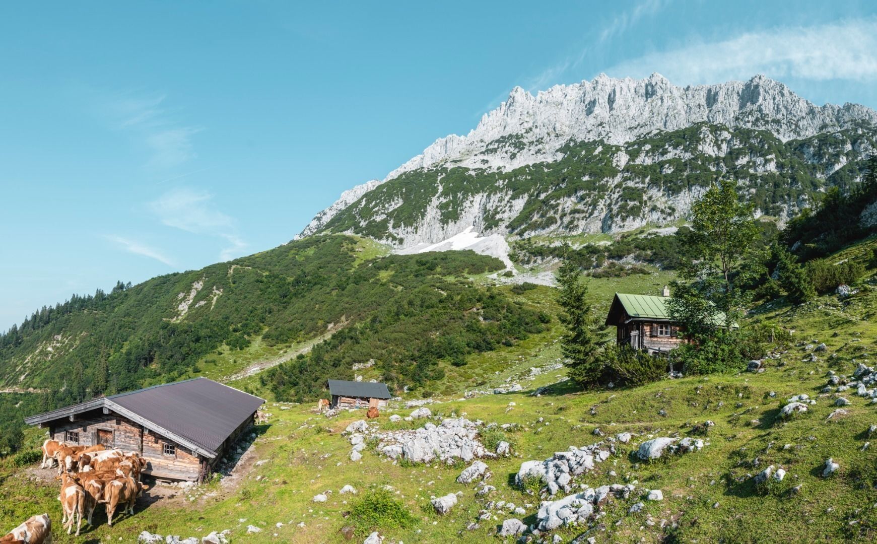
The wild and romantic Kaiser-Hochalm Alpine pasture, which is located beneath the Sonnenstein, does not feature any establishments that serve food but provides a wonderful photo opportunity.
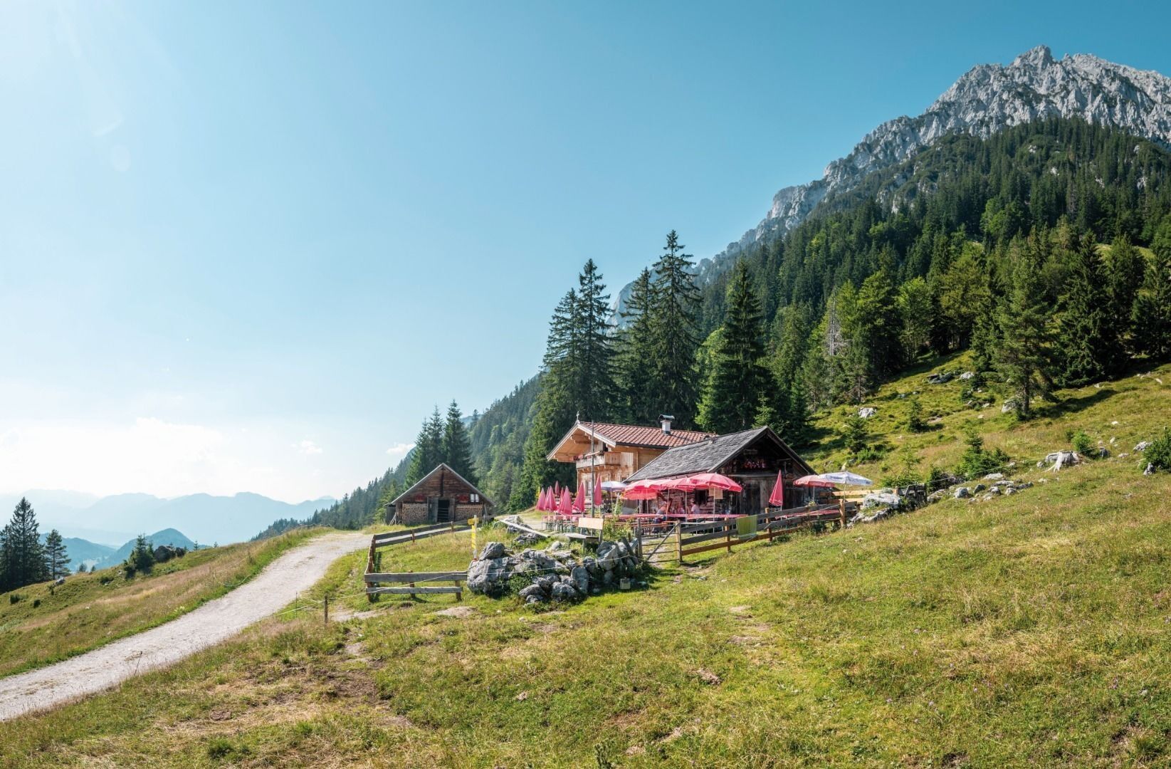
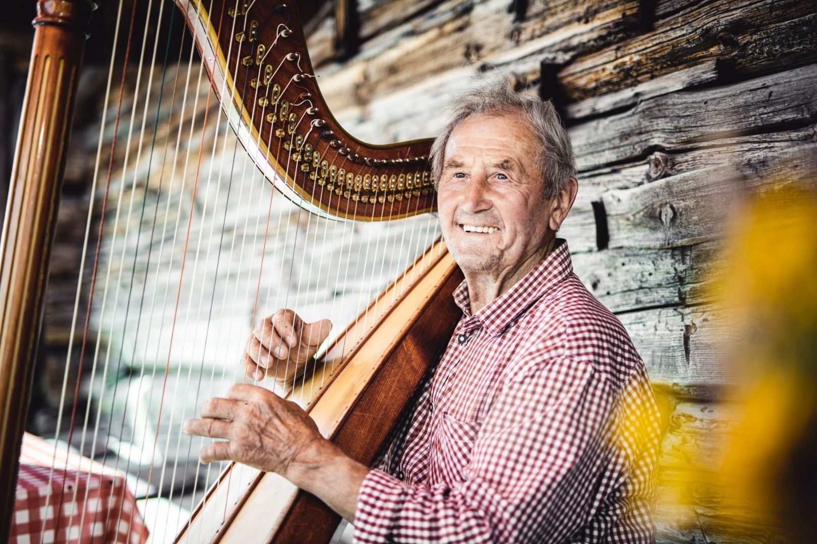
Continue on the WKS 821/823 to Steiner-Hochalm (1,257 m). Enjoy a pleasant rest as the innkeepers Maridi and Peter serve up spontaneous harp music and song to go with your drinks (no food available!).
Once this has put a spring in your step, you should start walking along the road and subsequently on the Höhenweg trail 821. Head downhill in the direction of Bärnstatt/Hintersteiner See until you come to the St. Leonhard Kapelle chapel. Slightly further south, the Gasthof Bärnstatt inn offers a place to stay for those looking to enjoy a gentle hike.
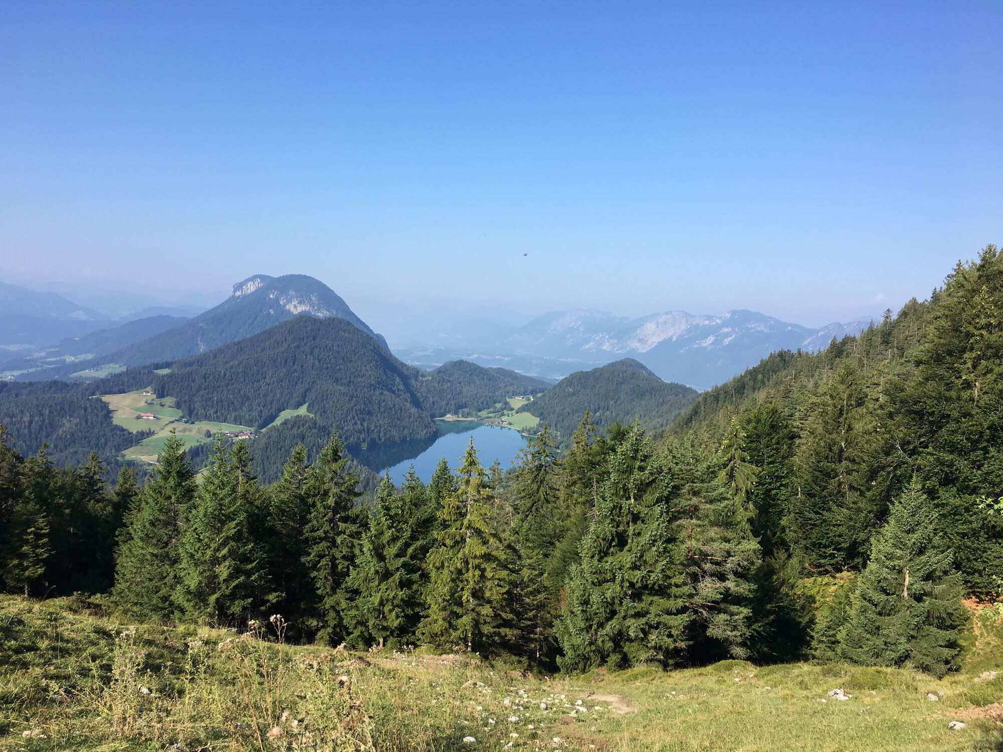
Alternatively, you can follow the road to the Seestüberl restaurant on the eastern bank of Hintersteiner See lake.
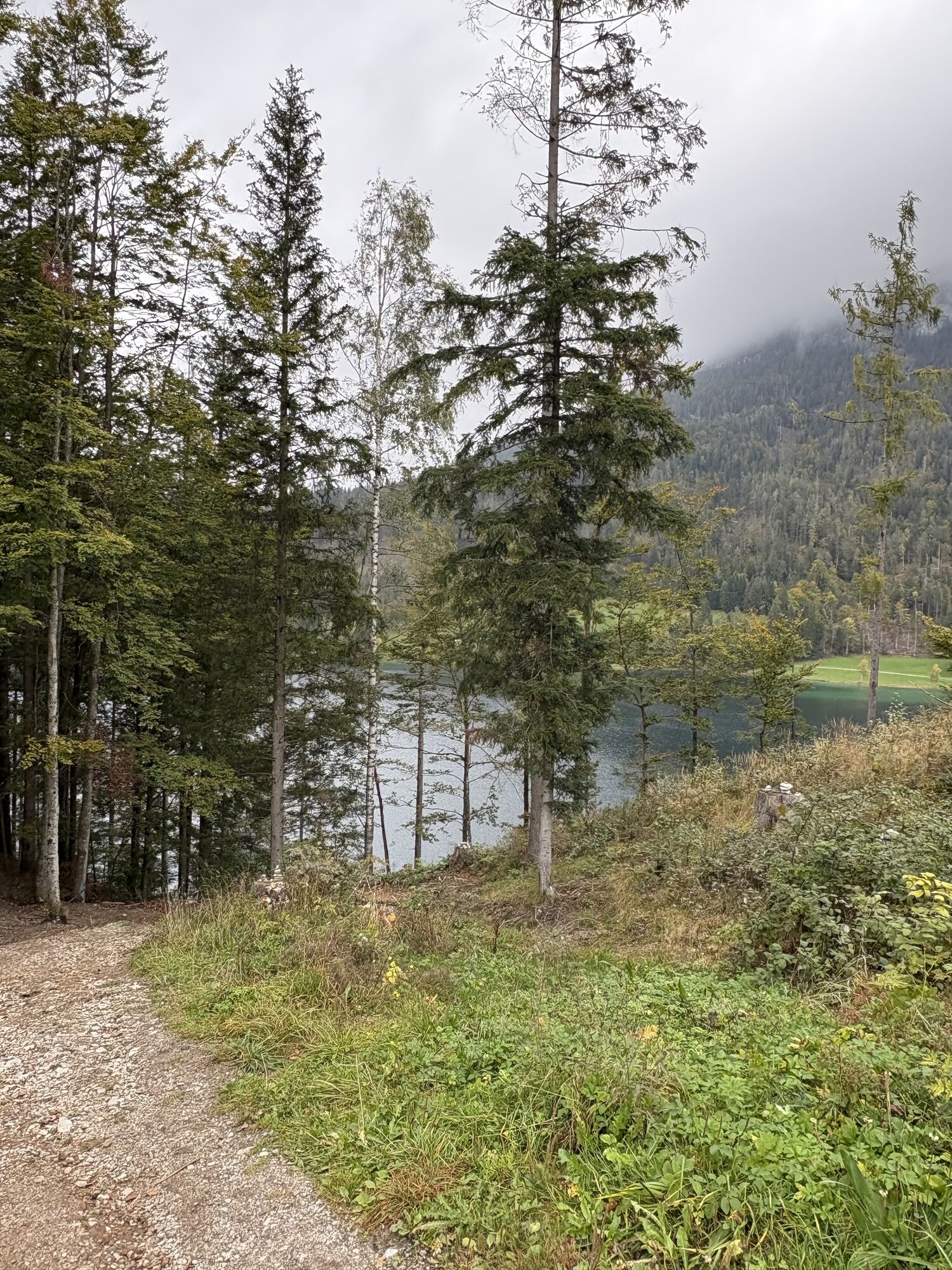
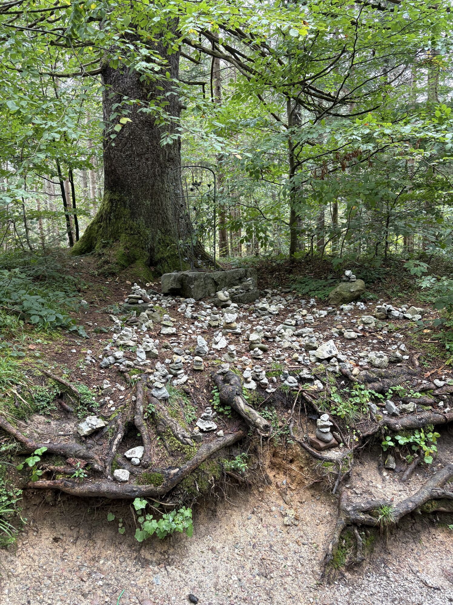
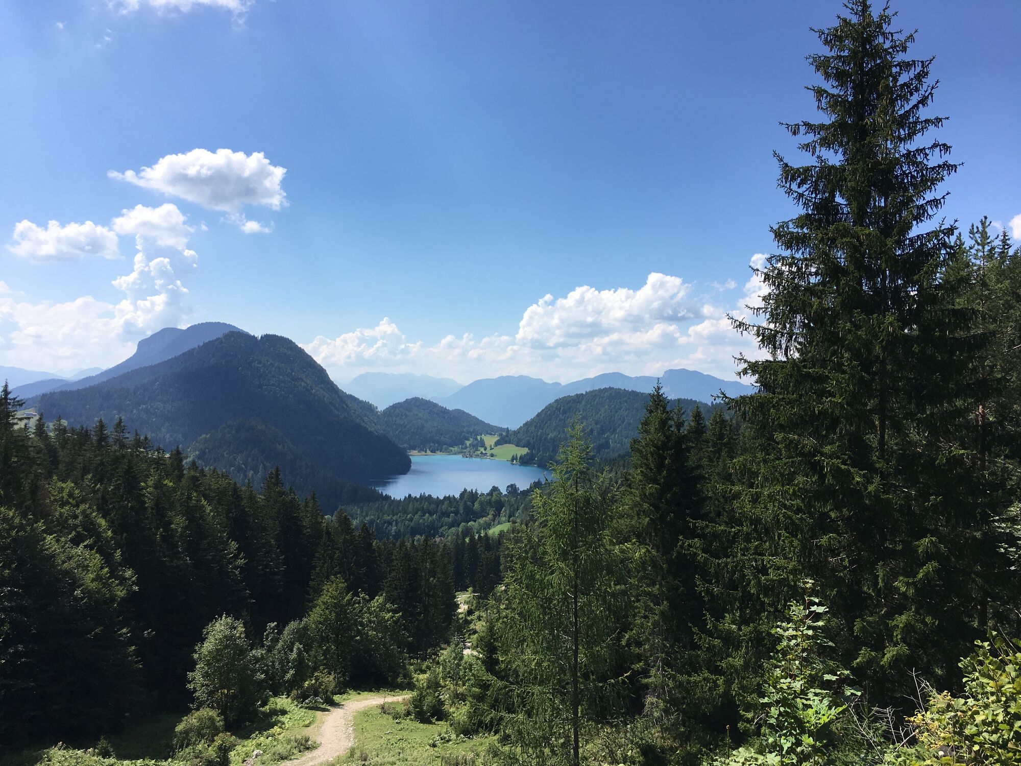
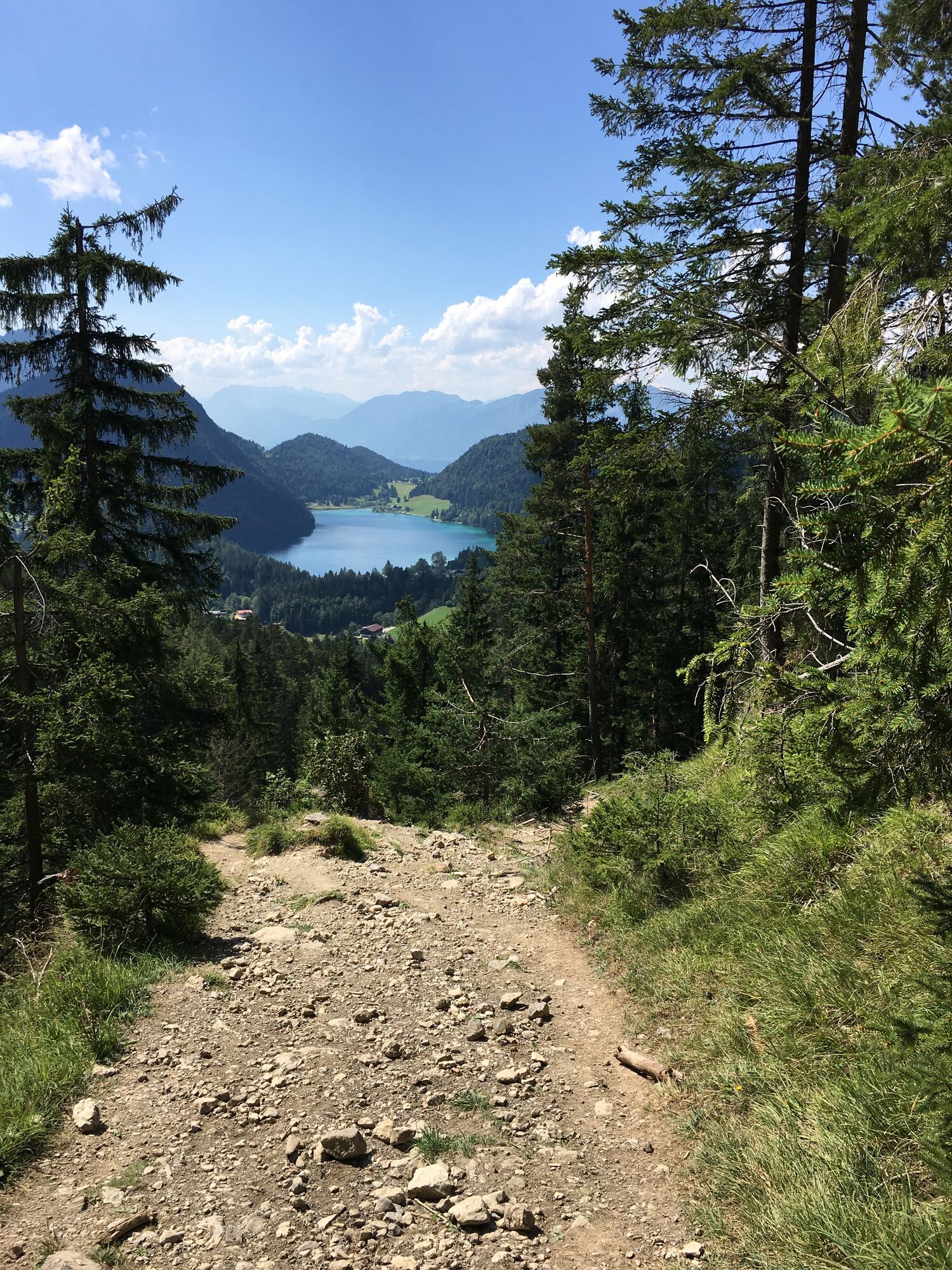
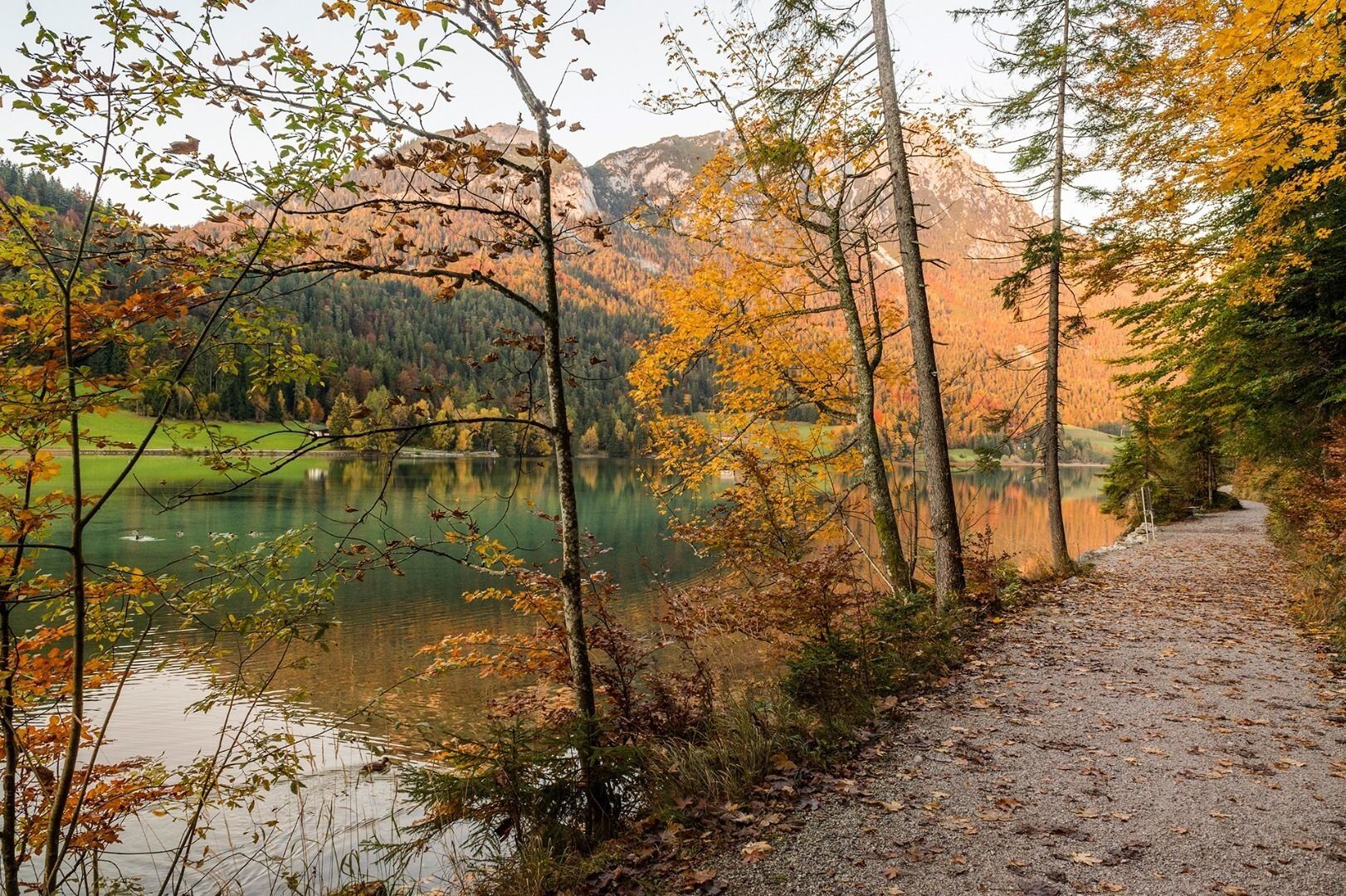
From the lido’s car park, head south into the forest. Here, route 822 around the lake provides an idyllic walk to the western bank of the crystal clear mountain lake. When this merges into the road, hike north to the Pension Maier, which is also a good inn for a refreshment stop and an overnight stay. Further options for overnight stays include the Pension Hagenhof as well as in Scheffau in the valley, which you can reach by Hintersteiner See bus.
Make sure to take sufficient food and drinks with you on this stage!
Tip: Hintersteiner See
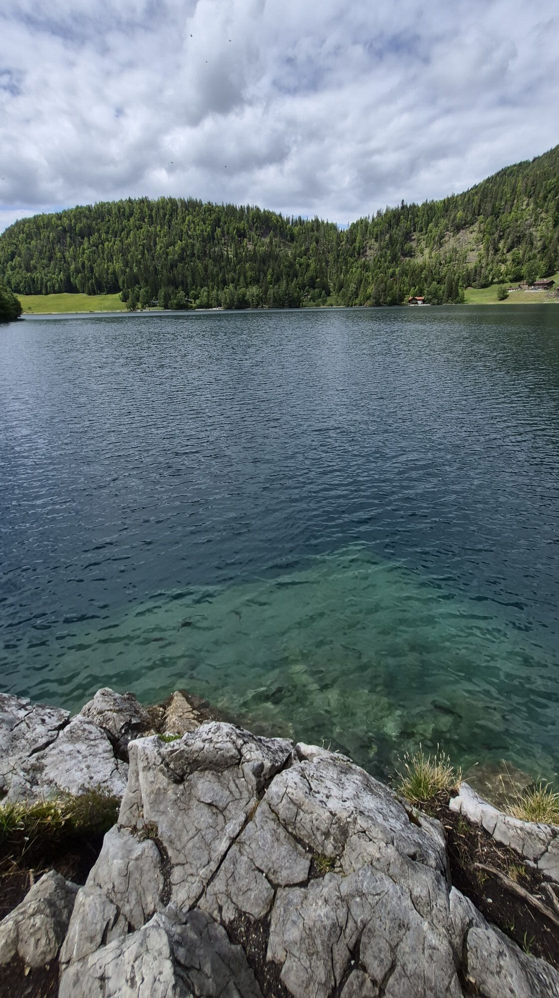
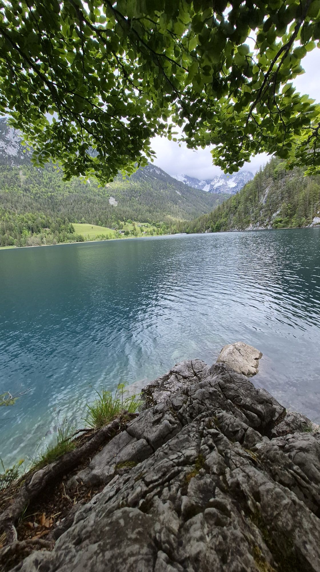
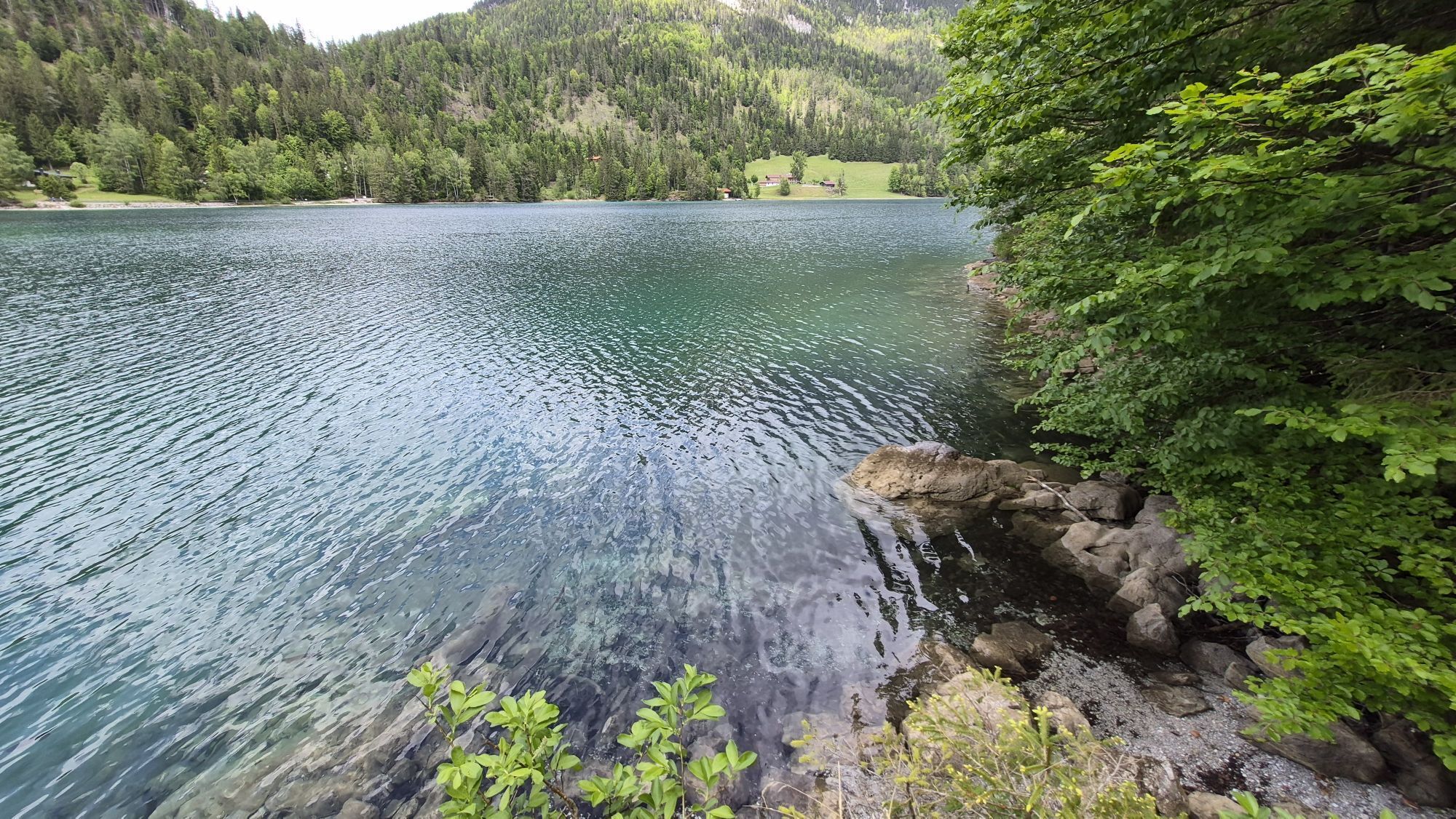
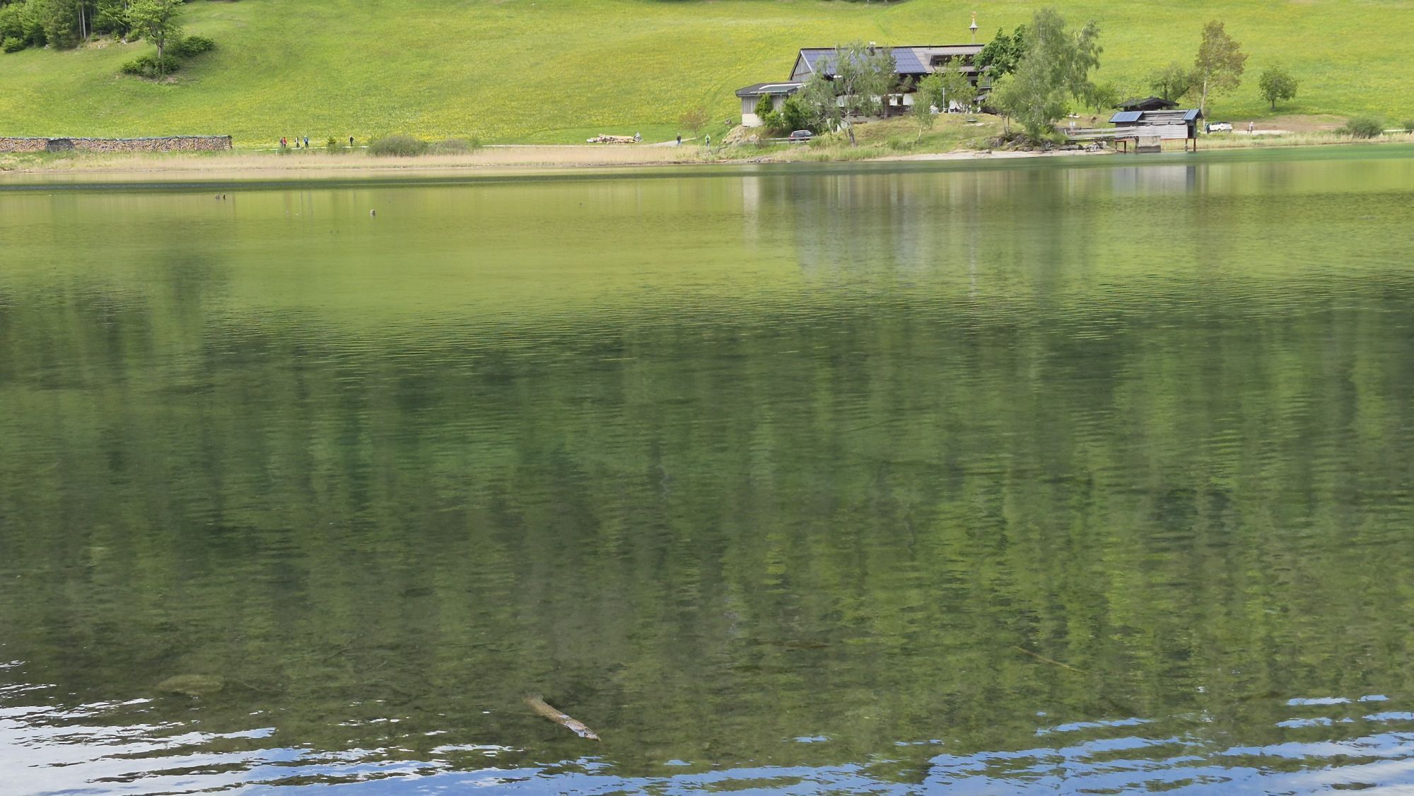
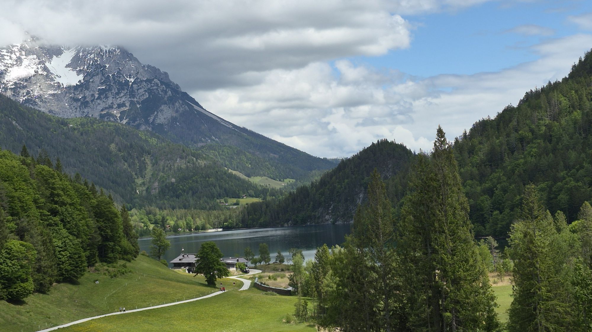
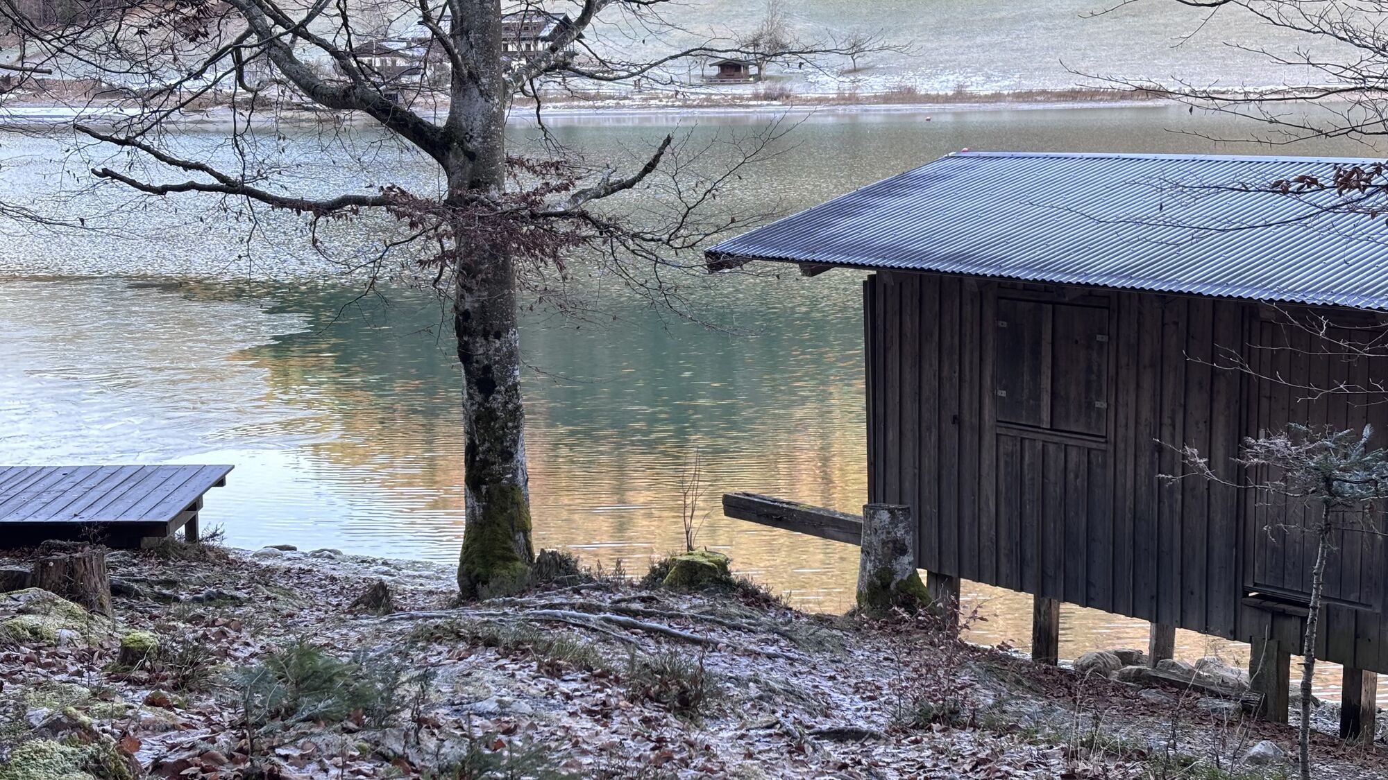
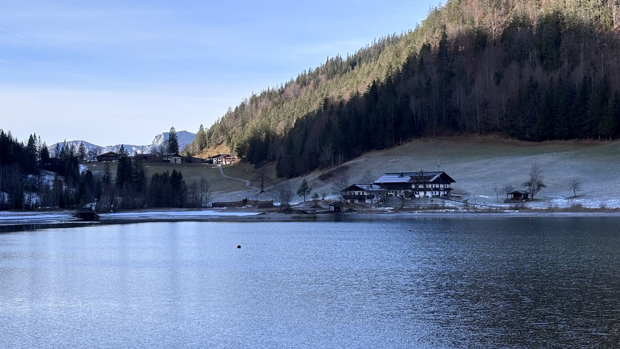
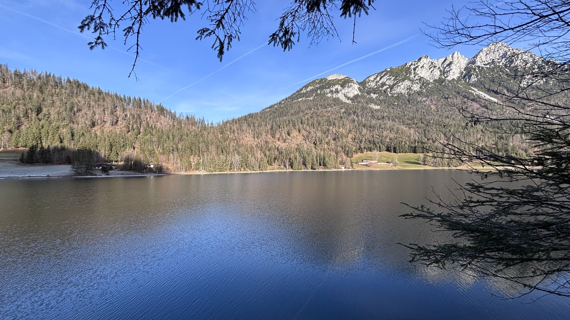
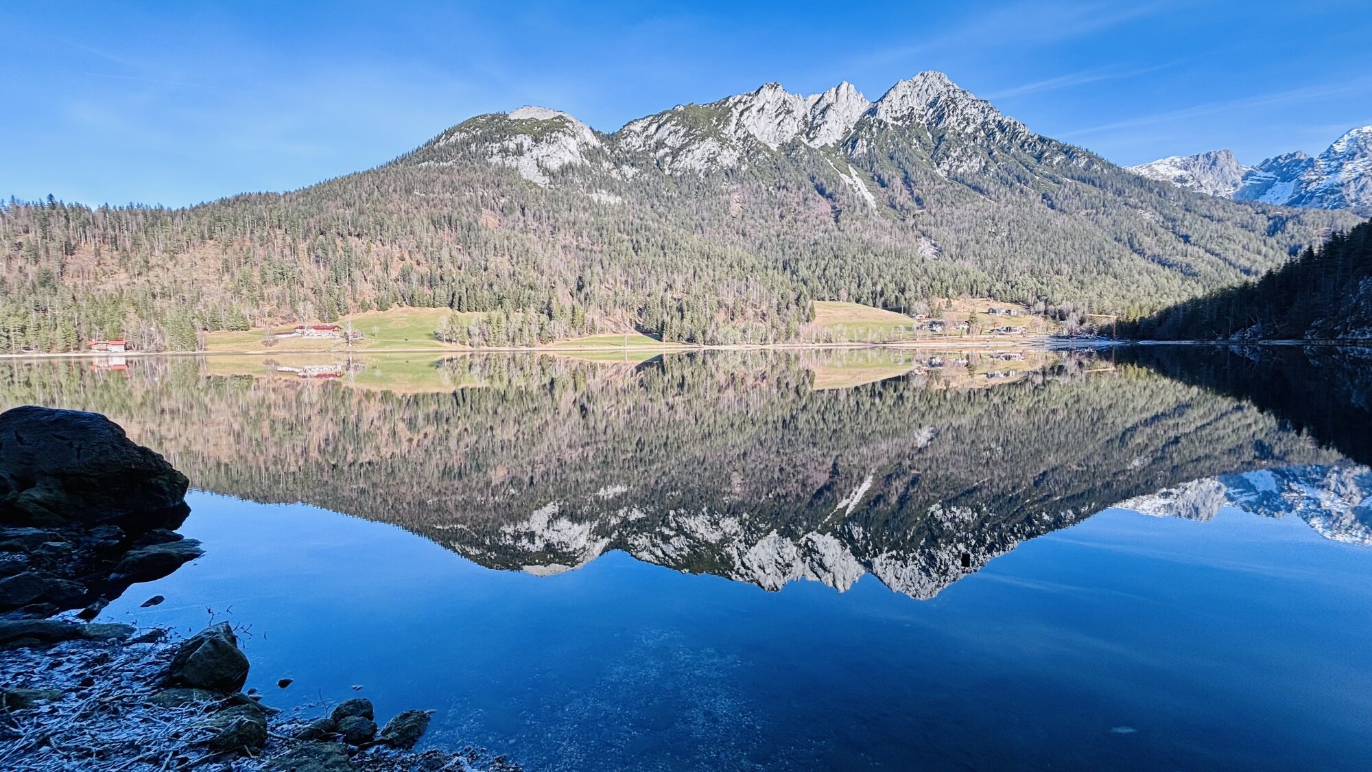
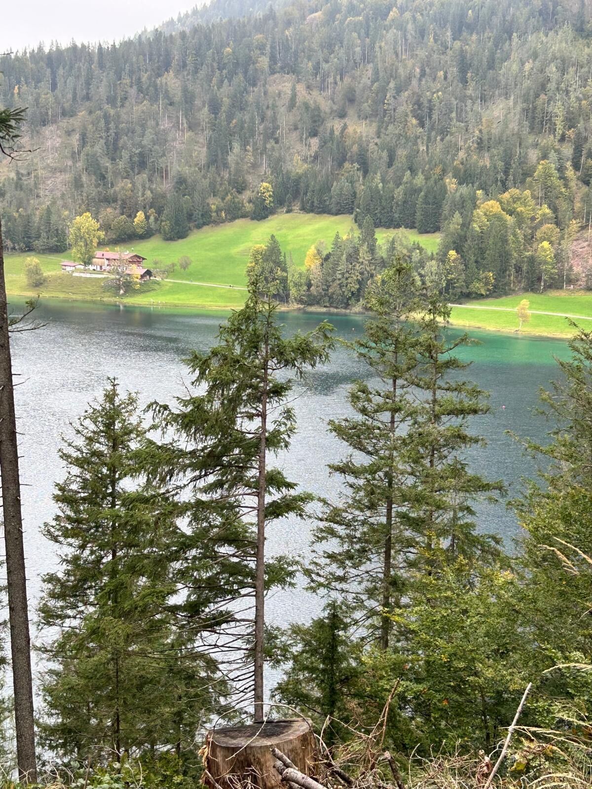
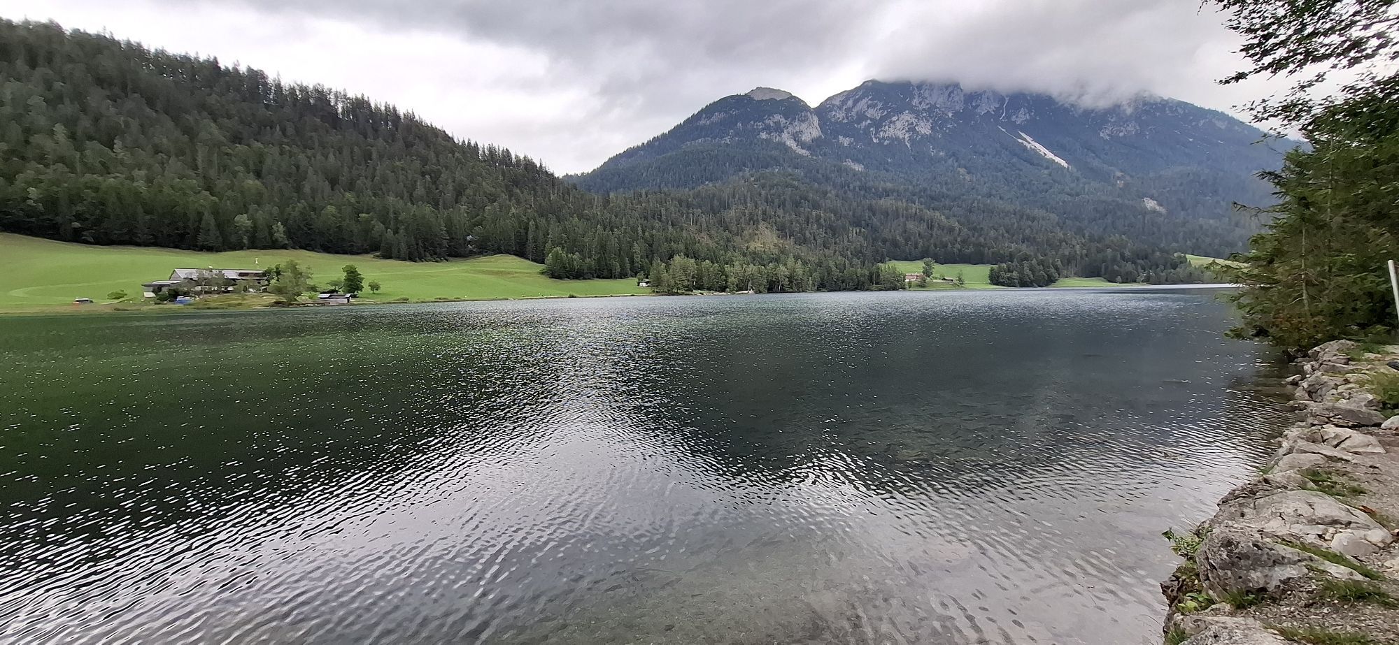
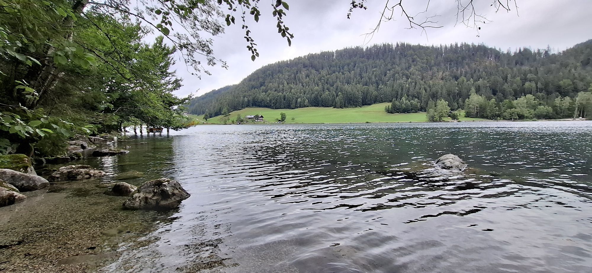
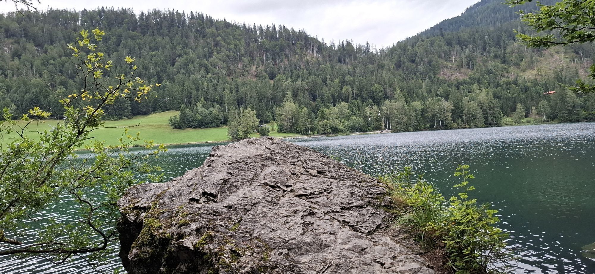
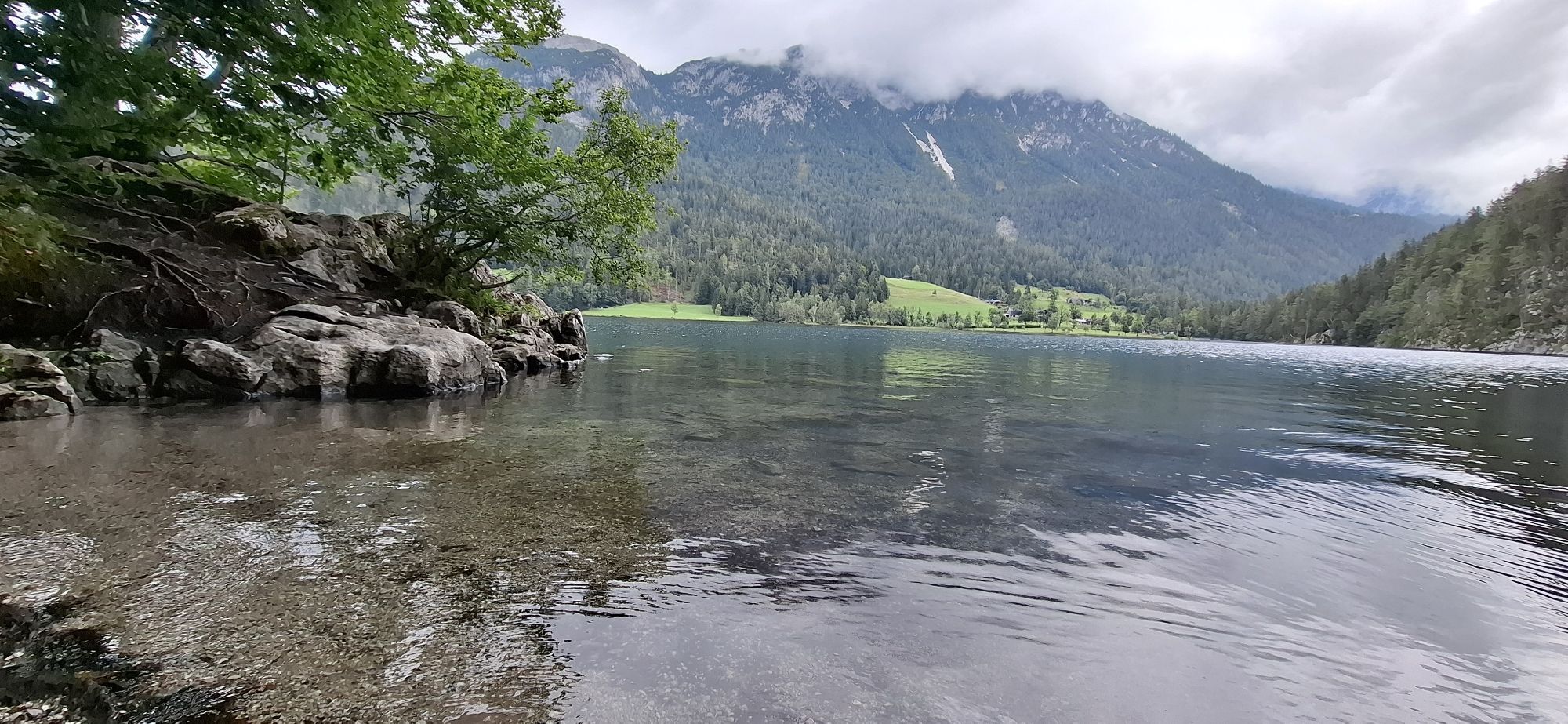
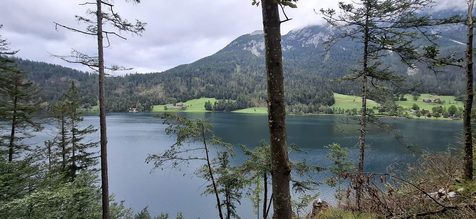
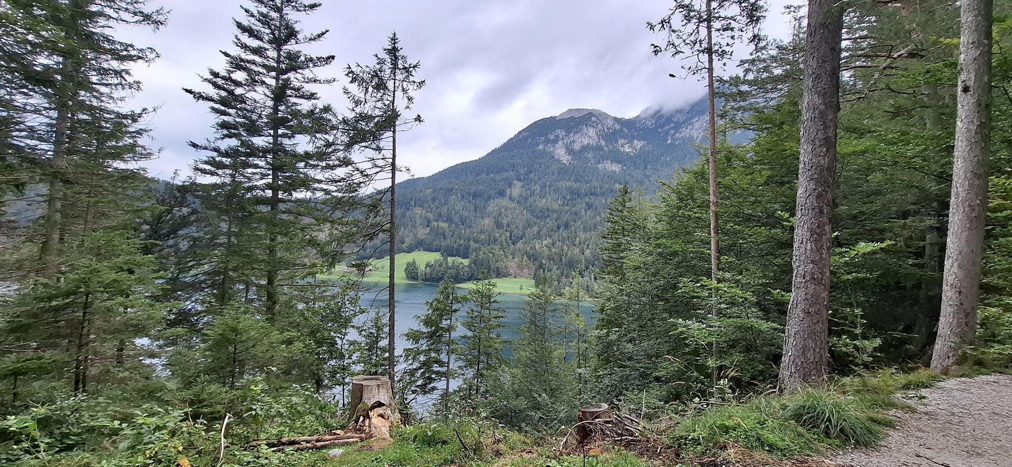
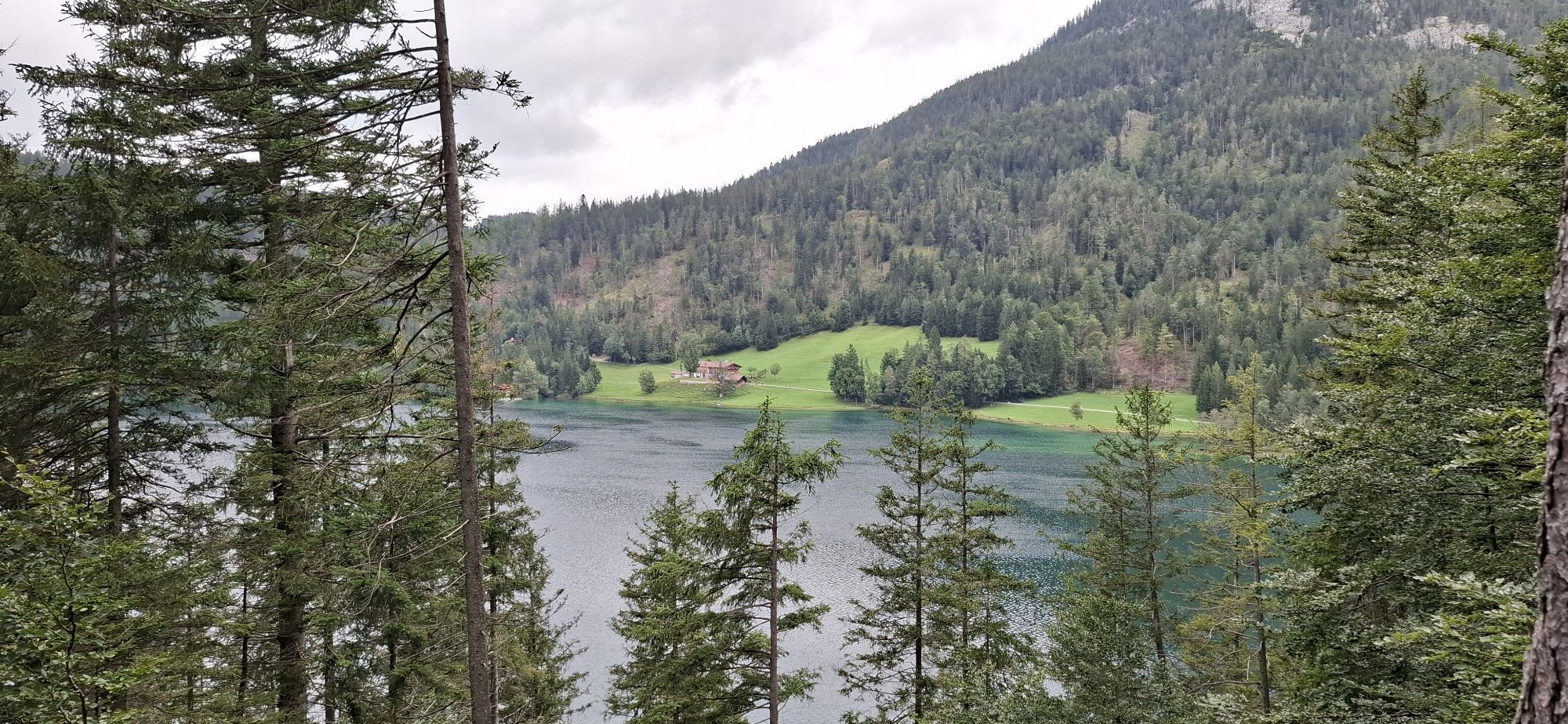
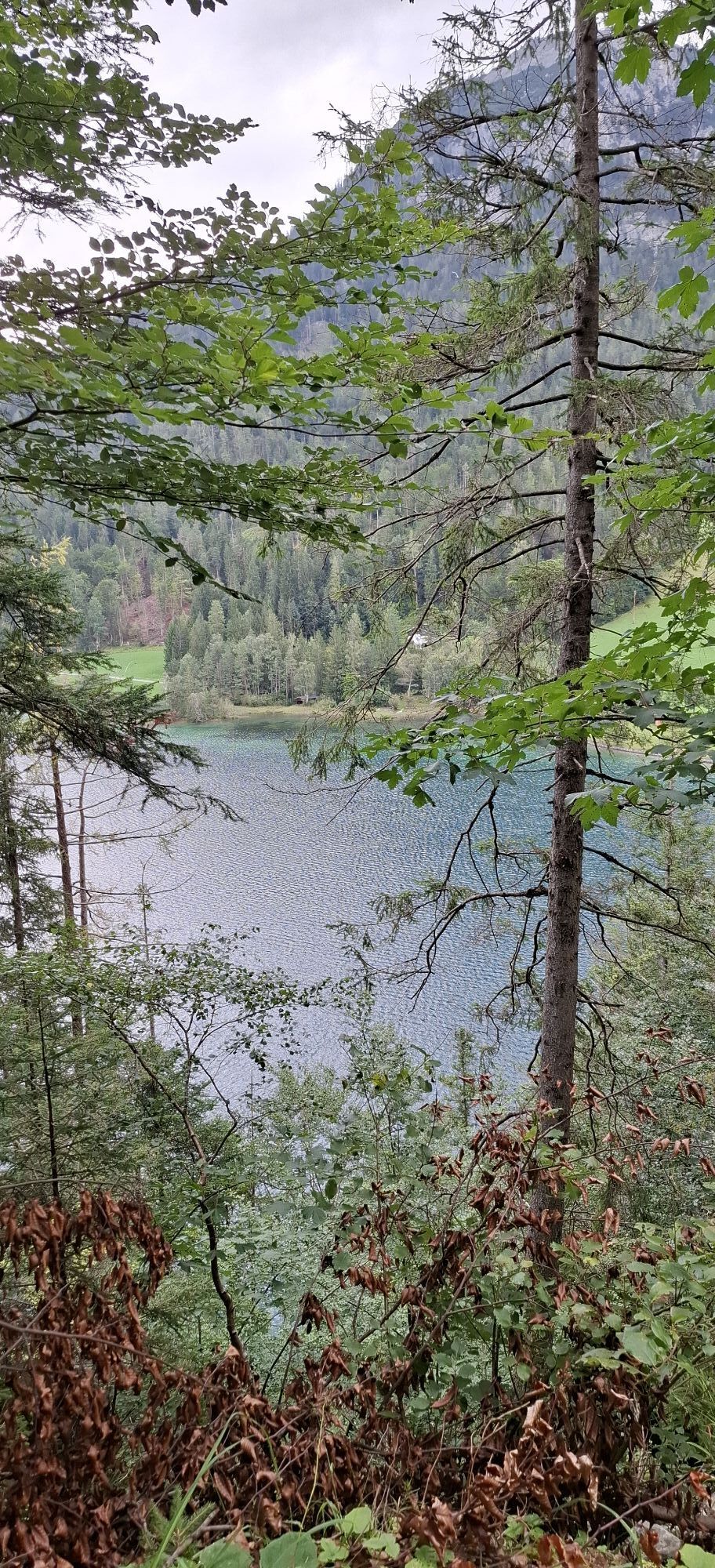
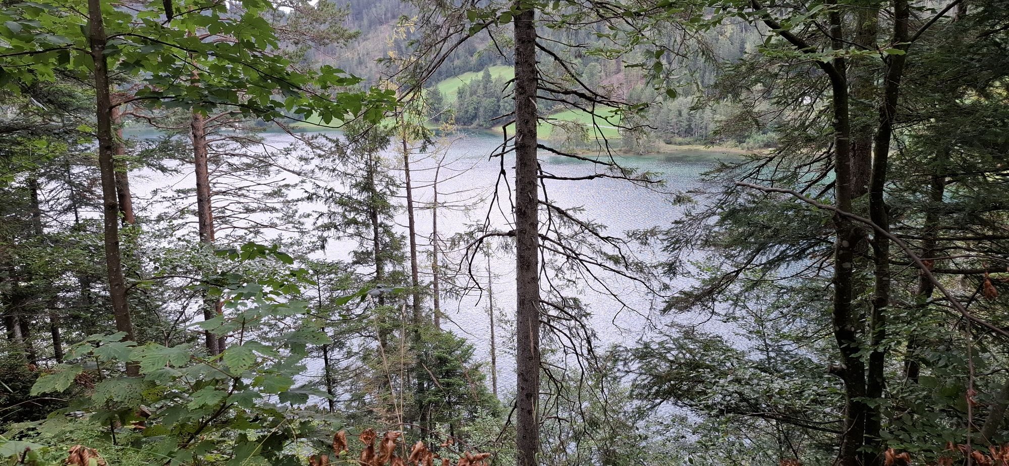
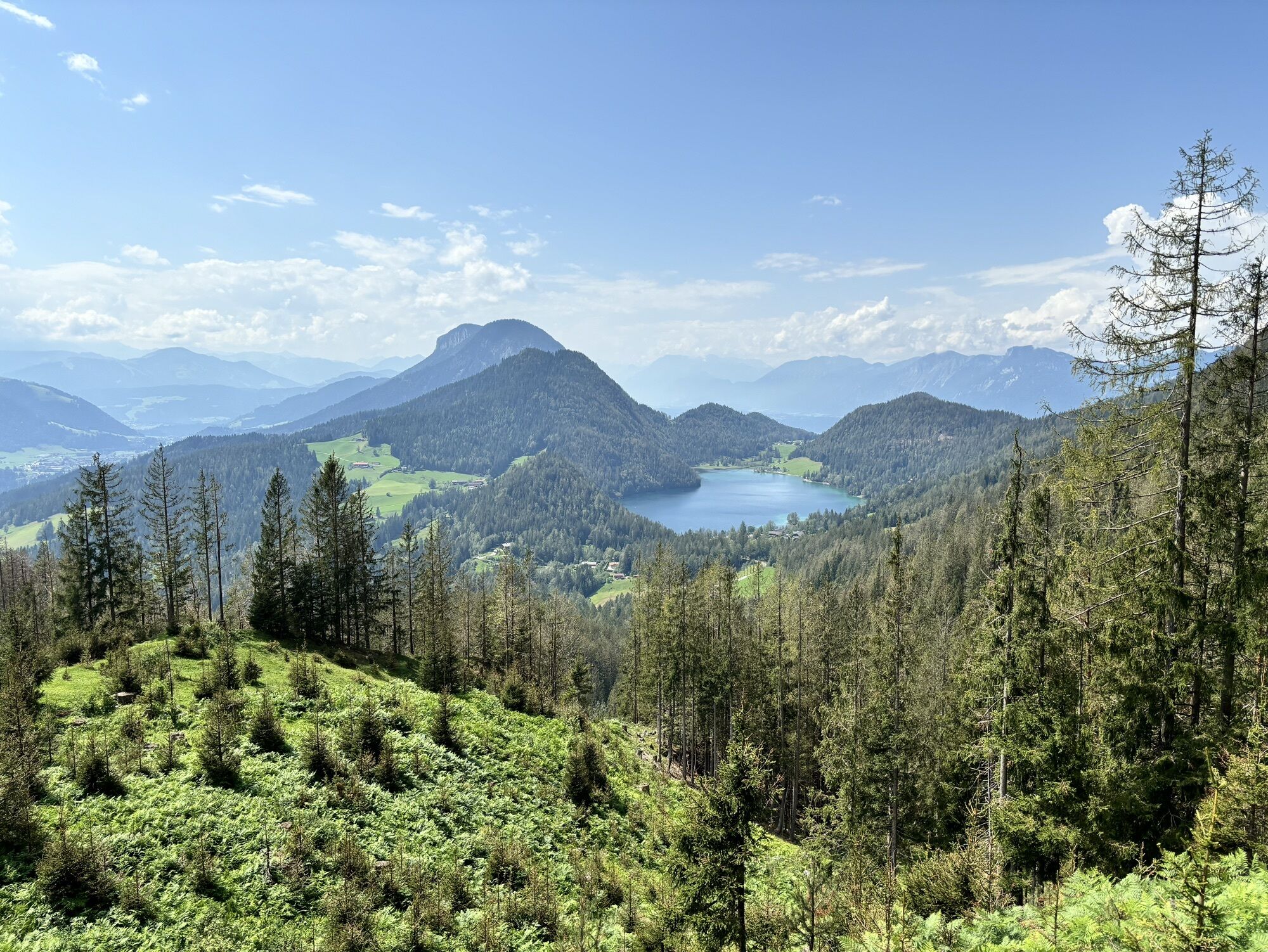
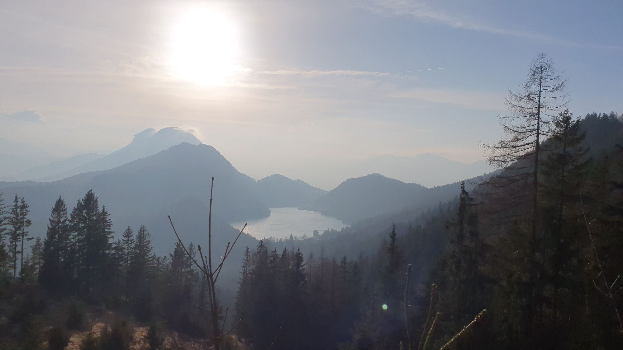
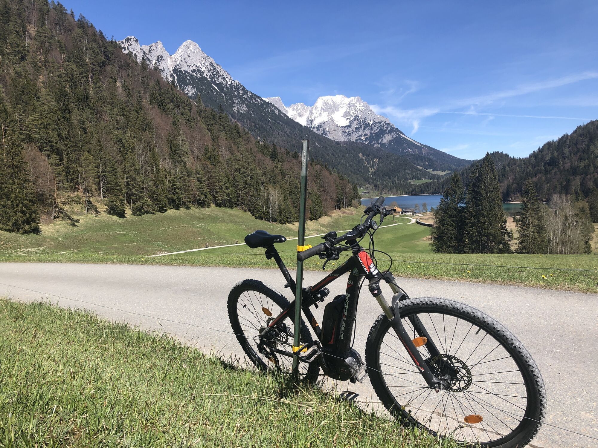
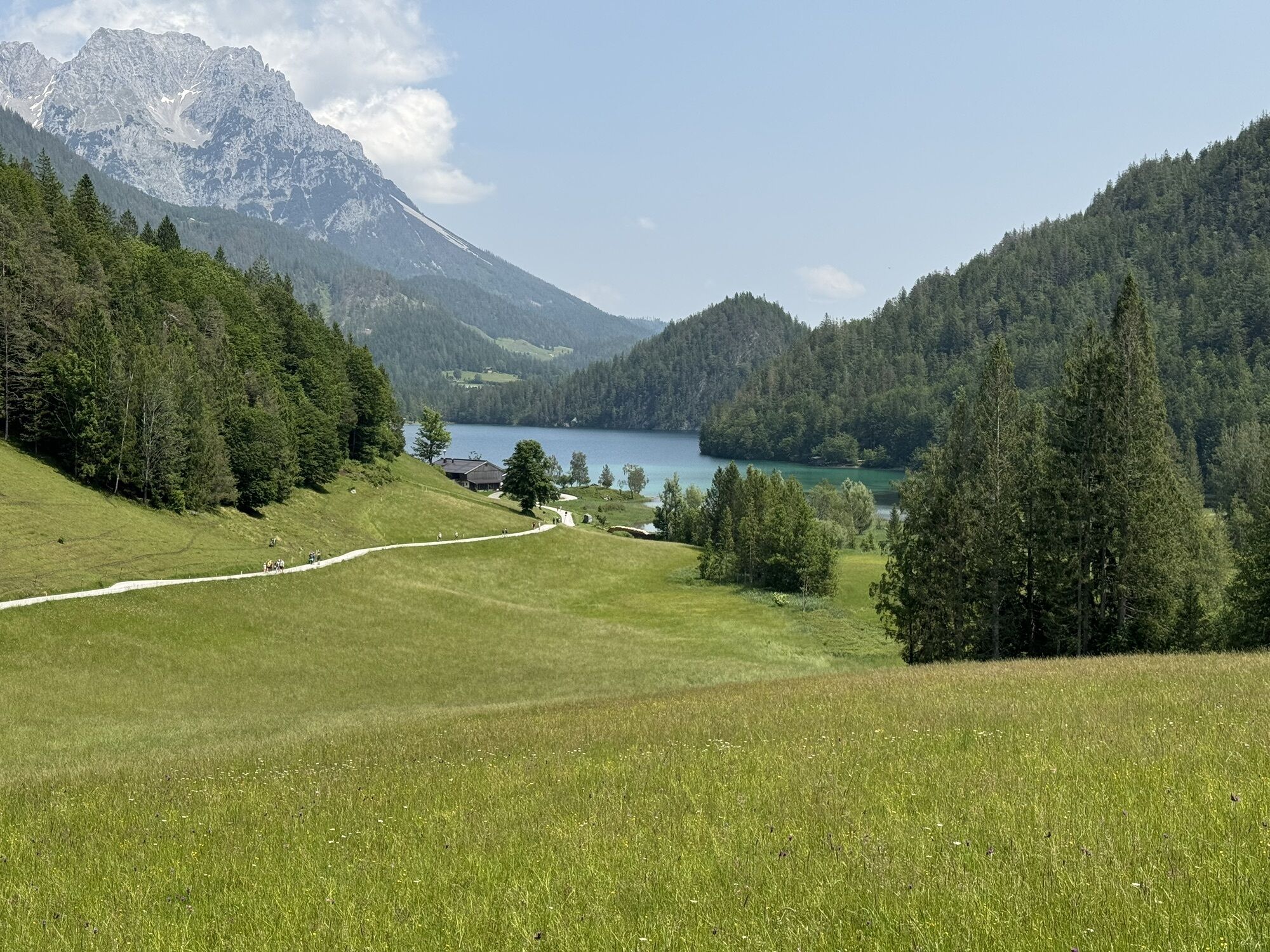
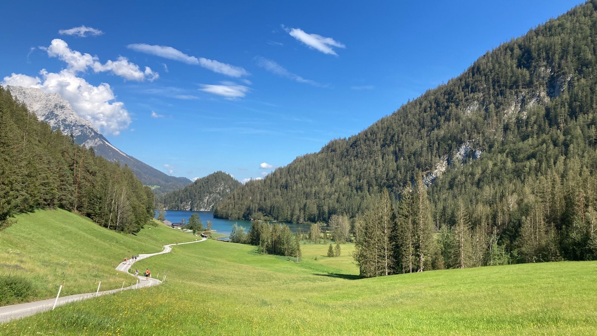
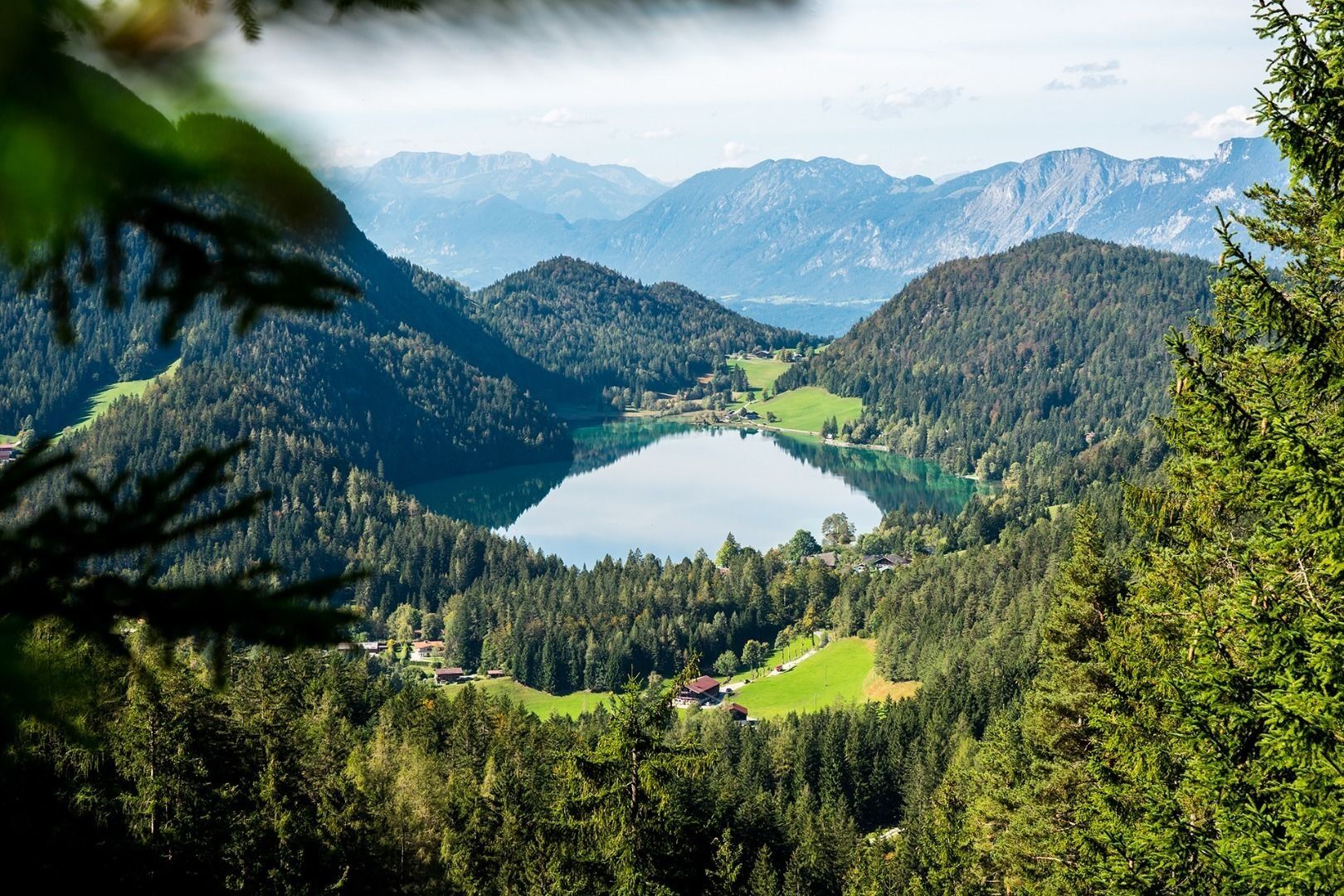
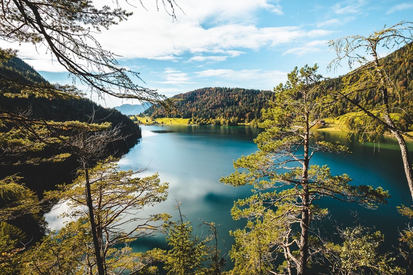
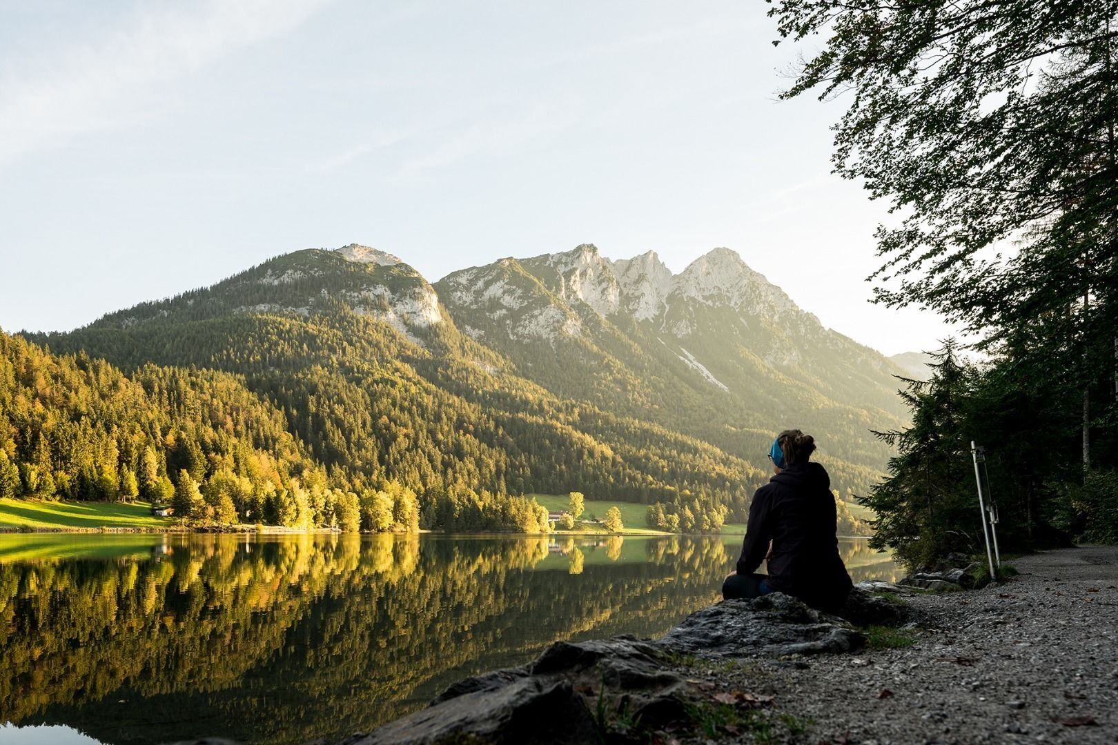
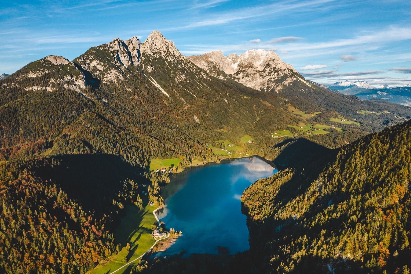
The crystal clear lake has a beautiful turquoise hue and provides a welcome cool-down for tired feet. The water is fed from underground sources and the visibility of up to 10 metres below the surface is testament to its superlative quality. The lido on the eastern bank is an ideal place to catch your breath after completing another demanding stage for the day.
Please note:
the Steiner-Hochalm only serves drinks!

Sounds of the harp, fresh buttermilk and cool refreshment for tired feet!
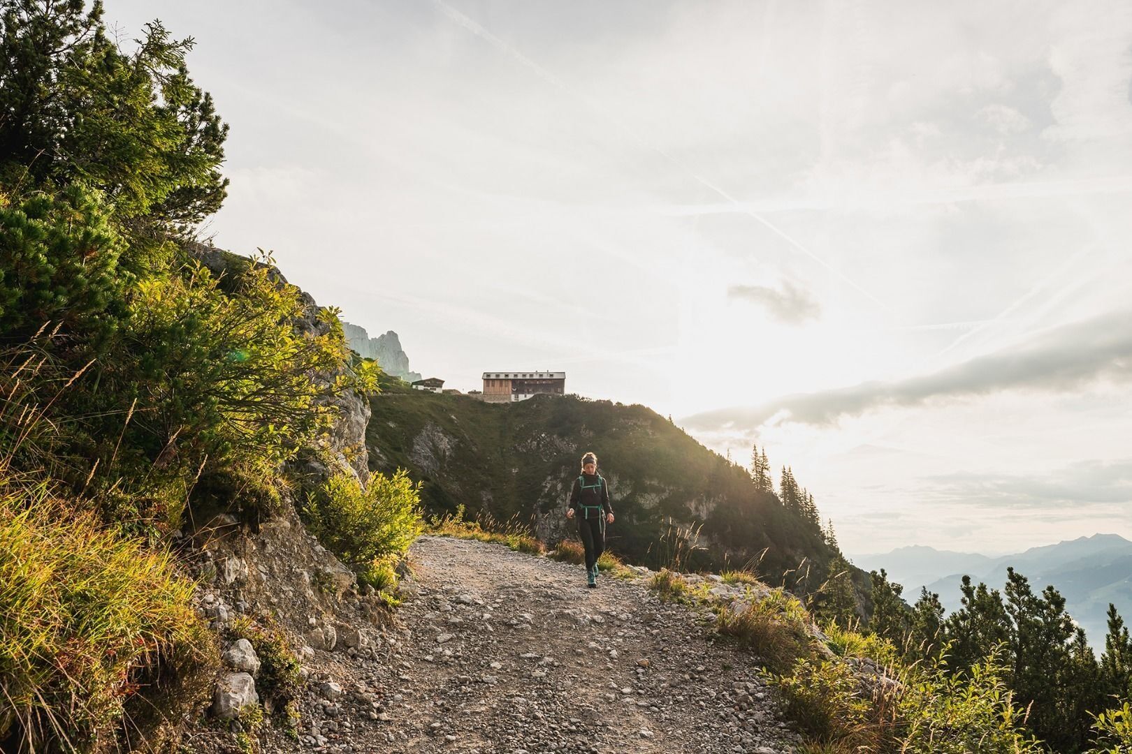
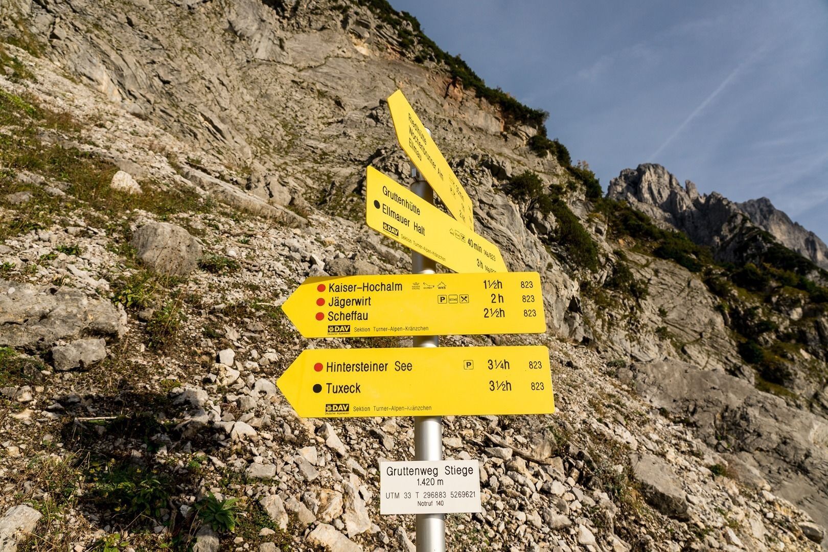
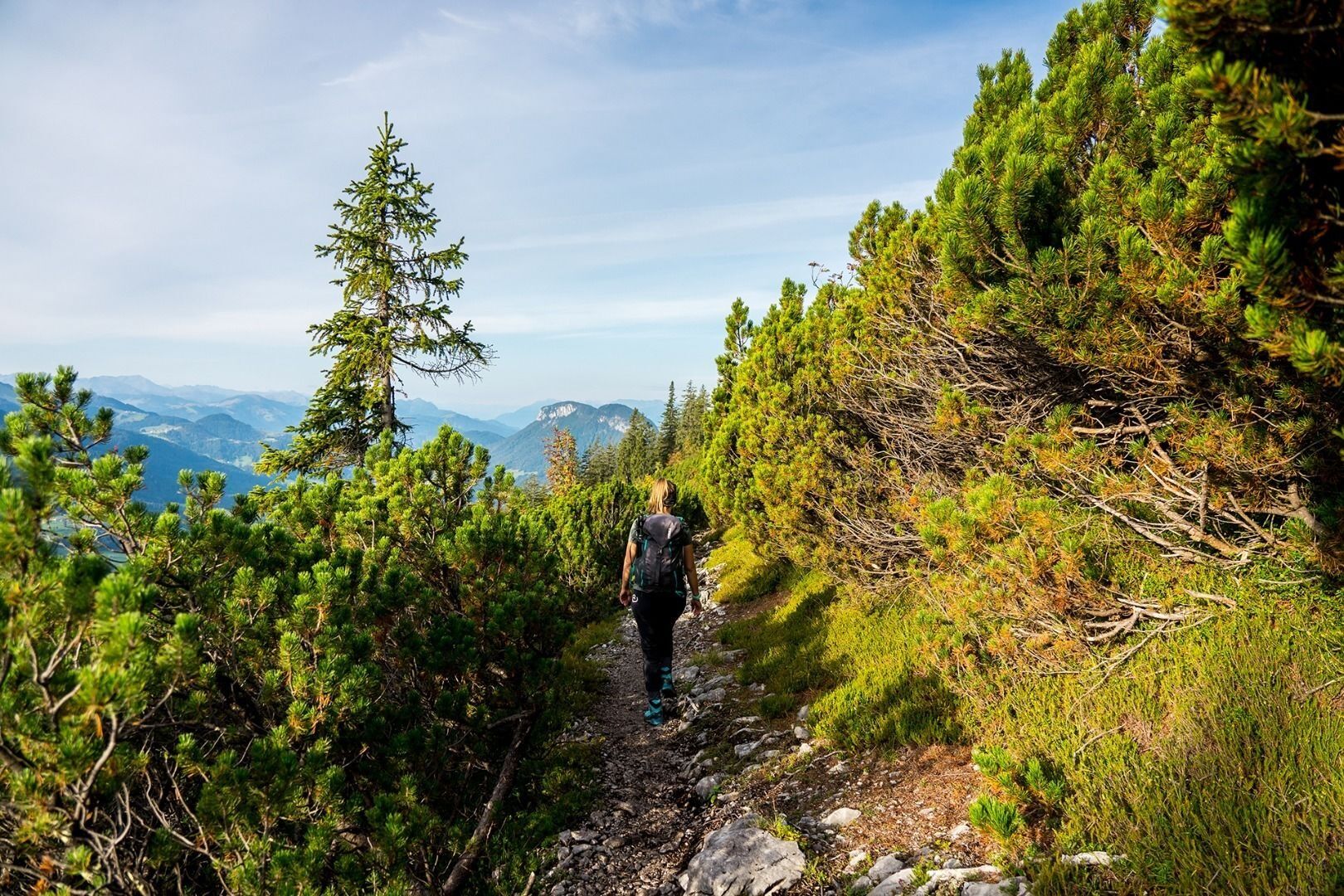
Starting from the Gruttenhütte mountain hut, head west on road 14a. After around 15 minutes, climb a few steps as you turn on to the Wilder-Kaiser-Steig trail (WKS) no. 823 beneath the Kaiserkopf mountain. Stay on the WKS heading in a northwesterly direction, walking beneath the Treffauer and Tuxeck summits via the Lenggries (one of the largest gravel cirques in the Wilder Kaiser region). As you pass by aromatic mountain pines and through mountain forests, the Kitzbühel Alps and the glaciers of the Hohe Tauern mountain range are always in view.
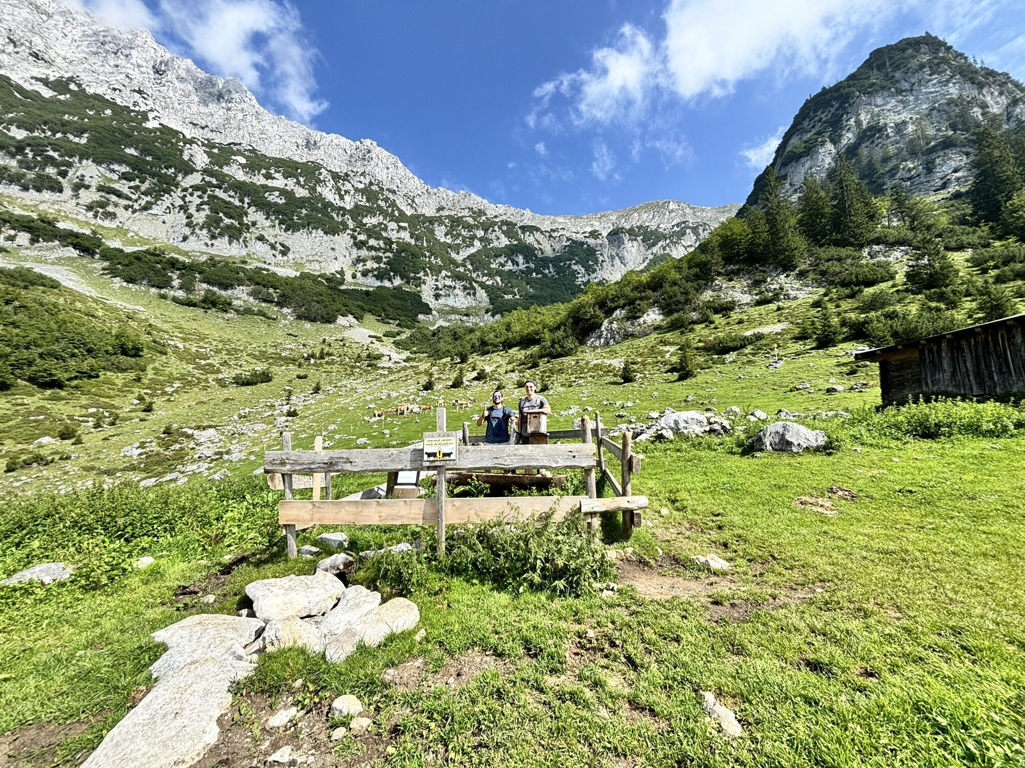
The wild and romantic Kaiser-Hochalm Alpine pasture, which is located beneath the Sonnenstein, does not feature any establishments that serve food but provides a wonderful photo opportunity.
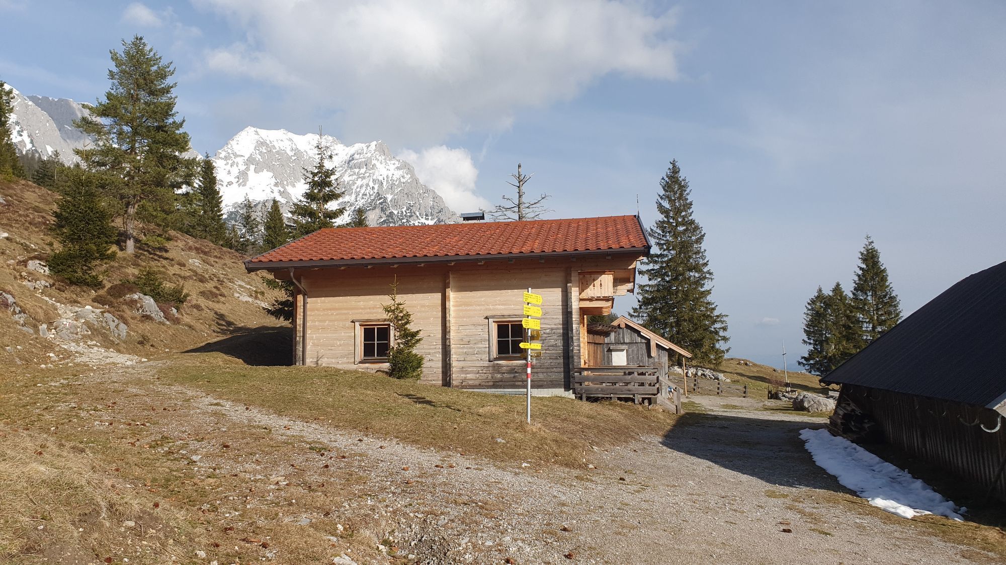
Continue on the WKS 821/823 to Steiner-Hochalm (1,257 m). Enjoy a pleasant rest as the innkeepers Maridi and Peter serve up spontaneous harp music and song to go with your drinks (no food available!).
Once this has put a spring in your step, you should start walking along the road and subsequently on the Höhenweg trail 821. Head downhill in the direction of Bärnstatt/Hintersteiner See until you come to the St. Leonhard Kapelle chapel. Slightly further south, the Gasthof Bärnstatt inn offers a place to stay for those looking to enjoy a gentle hike. Alternatively, you can follow the road to the Seestüberl restaurant on the eastern bank of Hintersteiner See lake.
From the lido’s car park, head south into the forest. Here, route 822 around the lake provides an idyllic walk to the western bank of the crystal clear mountain lake. When this merges into the road, hike north to the Pension Maier, which is also a good inn for a refreshment stop and an overnight stay. Further options for overnight stays include the Pension Hagenhof and Goingstätt farm.
Make sure to take sufficient food and drinks with you on this stage!
Tip: Hintersteiner See
The crystal clear lake has a beautiful turquoise hue and provides a welcome cool-down for tired feet. The water is fed from underground sources and the visibility of up to 10 metres below the surface is testament to its superlative quality. The lido on the eastern bank is an ideal place to catch your breath after completing another demanding stage for the day.
Please note:
the Steiner-Hochalm only serves drinks!
Wilder Kaiser hiking map (1:25.000) is available in the tourist information centres Ellmau, Going, Scheffau and Söll for € 6,90 or with Wilder Kaiser GuestCard for € 6,-.
Additions for overnight stay at mountain hut:
Mountain hut sleeping bag, indoor shoes, toiletries and towel, personal medication, headlamp, Alpine Club ID Card, cash, charger for mobile phone
The hiking routes between the huts are often rather long, we recommend taking plenty of food and drink and booking your overnight stays well in advance.
Sounds of the harp, fresh buttermilk and cool refreshment for tired feet!
Starting from the Gruttenhütte mountain hut, head west on road 14a. After around 15 minutes, climb a few steps as you turn on to the Wilder-Kaiser-Steig trail (WKS) no. 823 beneath the Kaiserkopf mountain. Stay on the WKS heading in a northwesterly direction, walking beneath the Treffauer and Tuxeck summits via the Lenggries (one of the largest gravel cirques in the Wilder Kaiser region). As you pass by aromatic mountain pines and through mountain forests, the Kitzbühel Alps and the glaciers of the Hohe Tauern mountain range are always in view.
The wild and romantic Kaiser-Hochalm Alpine pasture, which is located beneath the Sonnenstein, does not feature any establishments that serve food but provides a wonderful photo opportunity.
Continue on the WKS 821/823 to Steiner-Hochalm (1,257 m). Enjoy a pleasant rest as the innkeepers Maridi and Peter serve up spontaneous harp music and song to go with your drinks (no food available!).
Once this has put a spring in your step, you should start walking along the road and subsequently on the Höhenweg trail 821. Head downhill in the direction of Bärnstatt/Hintersteiner See until you come to the St. Leonhard Kapelle chapel. Slightly further south, the Gasthof Bärnstatt inn offers a place to stay for those looking to enjoy a gentle hike. Alternatively, you can follow the road to the Seestüberl restaurant on the eastern bank of Hintersteiner See lake.
From the lido’s car park, head south into the forest. Here, route 822 around the lake provides an idyllic walk to the western bank of the crystal clear mountain lake. When this merges into the road, hike north to the Pension Maier, which is also a good inn for a refreshment stop and an overnight stay. Further options for overnight stays include the Pension Hagenhof and Goingstätt farm.
Make sure to take sufficient food and drinks with you on this stage!
Tip: Hintersteiner See
The crystal clear lake has a beautiful turquoise hue and provides a welcome cool-down for tired feet. The water is fed from underground sources and the visibility of up to 10 metres below the surface is testament to its superlative quality. The lido on the eastern bank is an ideal place to catch your breath after completing another demanding stage for the day.
Please note:
the Steiner-Hochalm only serves drinks!
Ellmau Dorf/Bauhof and with the hiking bus Wochenbrunner Alm to the hiking bus stop Wochenbrunner Alm.
Next bus stop at the end of stage 2: Scheffau Bärnstatt, Hintersteiner See or Pension Maier.
From here, take the Hintersteiner See hiking bus to the Scheffau Dorf bus stop and continue with the KaiserJet or public buses.
Webcams de la tournée
Obtenez un aperçu
Toujours en direct avec plus de 9.500 webcams. En tant qu'utilisateur Pro, vous pouvez désormais voir les webcams correspondantes à de nombreuses randonnées dans l'application de randonnées de bergfex. Vous pouvez ainsi voir directement les conditions actuelles.
Parcours populaires à proximité
-
4,7
Kirchdorf: Zur geheimnisvollen Teufelsgasse
moyenRandonnée 7,90 km -
4,7
Musikantensteig zur Naunspitze
moyenRandonnée 8,96 km -
4,6
St. Johann in Tirol: Wasserfall & 3 Seen am Kitzbüheler Horn
moyenRandonnée 12,7 km -
4,5
Über Hintersteinersee und Walleralm aufs Hochegg
facileRandonnée 12,2 km -
4,5
Wanderung um den Hintersteinersee
facileRandonnée 5,29 km -
4,6
Hintersteinersee
moyenRandonnée 9,87 km -
5,0
Stripsenjoch Klettersteige/ Rundwanderung von Griesener Alm über Stripsenjochhaus und Feldberg
moyenVia ferrata 10,2 km -
4,9
Route 209: Brechhornhaus-Choralpe
difficileVTT 24,4 km -
4,2
Bergdoktor Wohnhaus "Gruberhof" (Köpfing Hof) Rundeweg-Söll
facileRandonnée 8,70 km -
5,0
Kirchdorf: Stripsenjoch Klettersteige
difficileVia ferrata 3,76 km
Randonnée et suivi


Ne manquez pas les offres et l'inspiration pour vos prochaines vacances
Votre adresse électronique a été ajouté à la liste de diffusion.





