European E5 long-distance hiking trail – King’s Segment – Braunschweiger Hut to Zwieselstein (original route)
difficile
Naviguer
Naviguer
Télécharge cette visite sur ton portable
European E5 long-distance hiking trail – King’s Segment – Braunschweiger Hut to Zwieselstein (original route)
difficile
Chemin de Grande Randonnée
16,47
km
Scanner le code QR et commencer la navigation dans l'application bergfex

Randonnée & tracking


European E5 long-distance hiking trail – King’s Segment – Braunschweiger Hut to Zwieselstein (original route)
difficile
Distance
16,47
km
Durée
06:10
h
Ascension
265
m
Altitude
1 454 -
2 985
m
Téléchargement de la piste
European E5 long-distance hiking trail – King’s Segment – Braunschweiger Hut to Zwieselstein (original route)
difficile
Chemin de Grande Randonnée
16,47
km
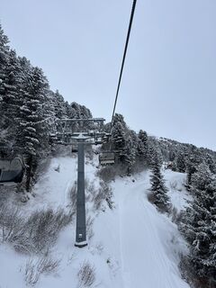
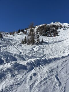
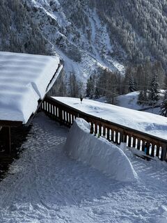
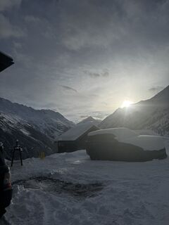
Photos de nos utilisateurs
-
 © DeJuBLNCréé le 18.07.2025
 -
 © DeJuBLNCréé le 18.07.2025
 -
 © DeJuBLNCréé le 18.07.2025
 -
 © DeJuBLNCréé le 18.07.2025
 -
 © DeJuBLNCréé le 18.07.2025
 -

 © Marcel ZurkirchenCréé le 10.07.2025
 -
 © Marcel ZurkirchenCréé le 10.07.2025
 -

 © MichaelCréé le 21.06.2025
 -
 © MichaelCréé le 21.06.2025
 -
 © MichaelCréé le 21.06.2025
 -
 © MichaelCréé le 21.06.2025
 -
 © Carsten KühneCréé le 15.04.2026
 -
 © dpweberCréé le 02.04.2026
 -
 © dpweberCréé le 29.03.2026
 -
 © Tim Walter 1Créé le 23.03.2026
 -
 © sam1007Créé le 15.03.2026
 -
 © Agnieszka ScholzCréé le 06.03.2026
 -
 © Peter NinauszCréé le 22.02.2026
 -
 © Peter NinauszCréé le 22.02.2026
 -
 © JBERNERCréé le 16.02.2026
 -
 © Andreas WiborgCréé le 30.01.2026
 -
 © Tim SchefflerCréé le 29.01.2026
 -
 © Tim SchefflerCréé le 26.01.2026
 -
 © Karl-HeinzCréé le 03.09.2024


This particularly challenging segment of the trail starts at the Braunschweiger Hut (2,758 m) with a rather steep and difficult ascent to the Pitztaler Jöchl saddle (3,000 m), the highest point of this...
Description
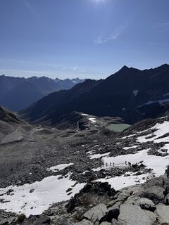
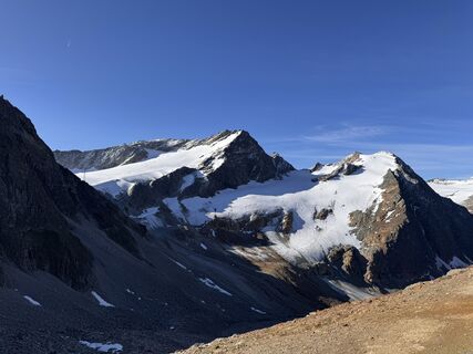
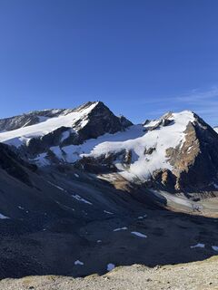
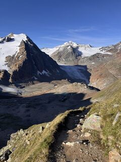
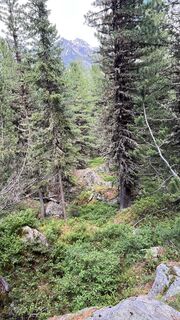
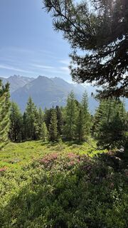
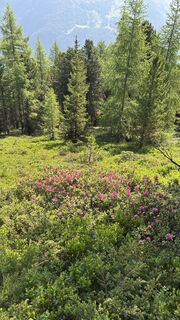
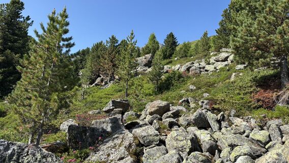
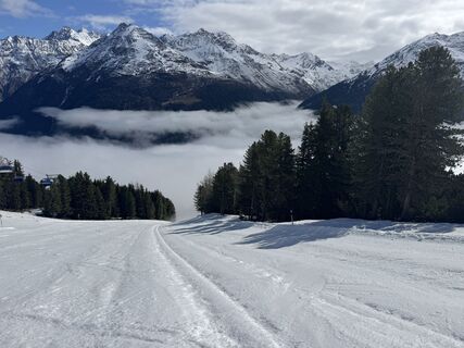
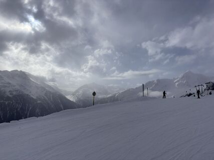
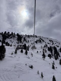
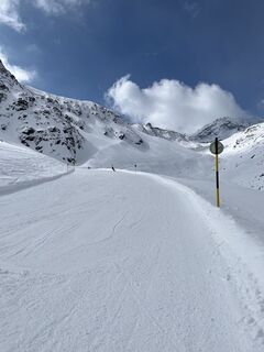
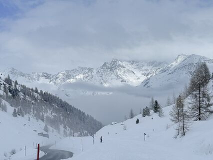
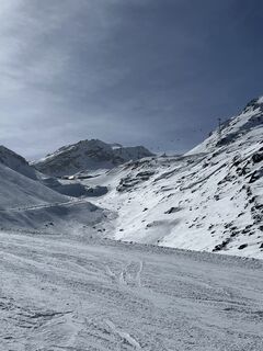
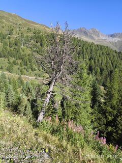
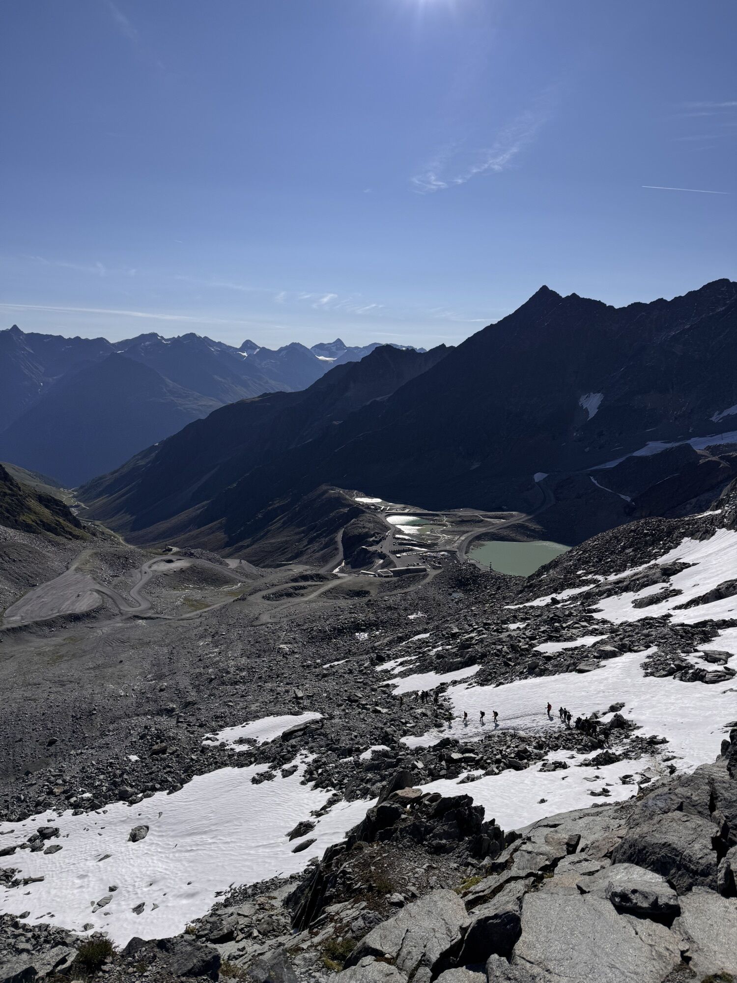
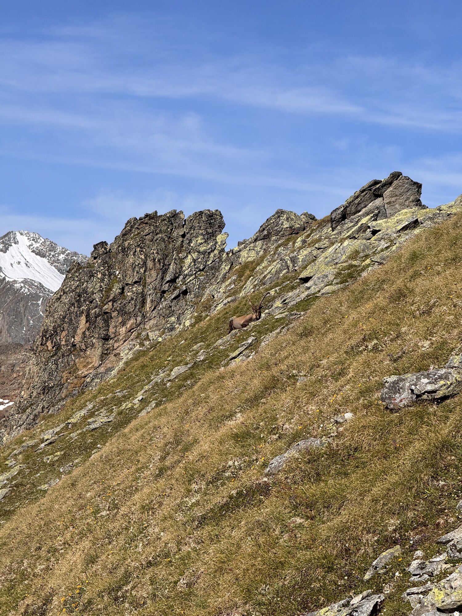
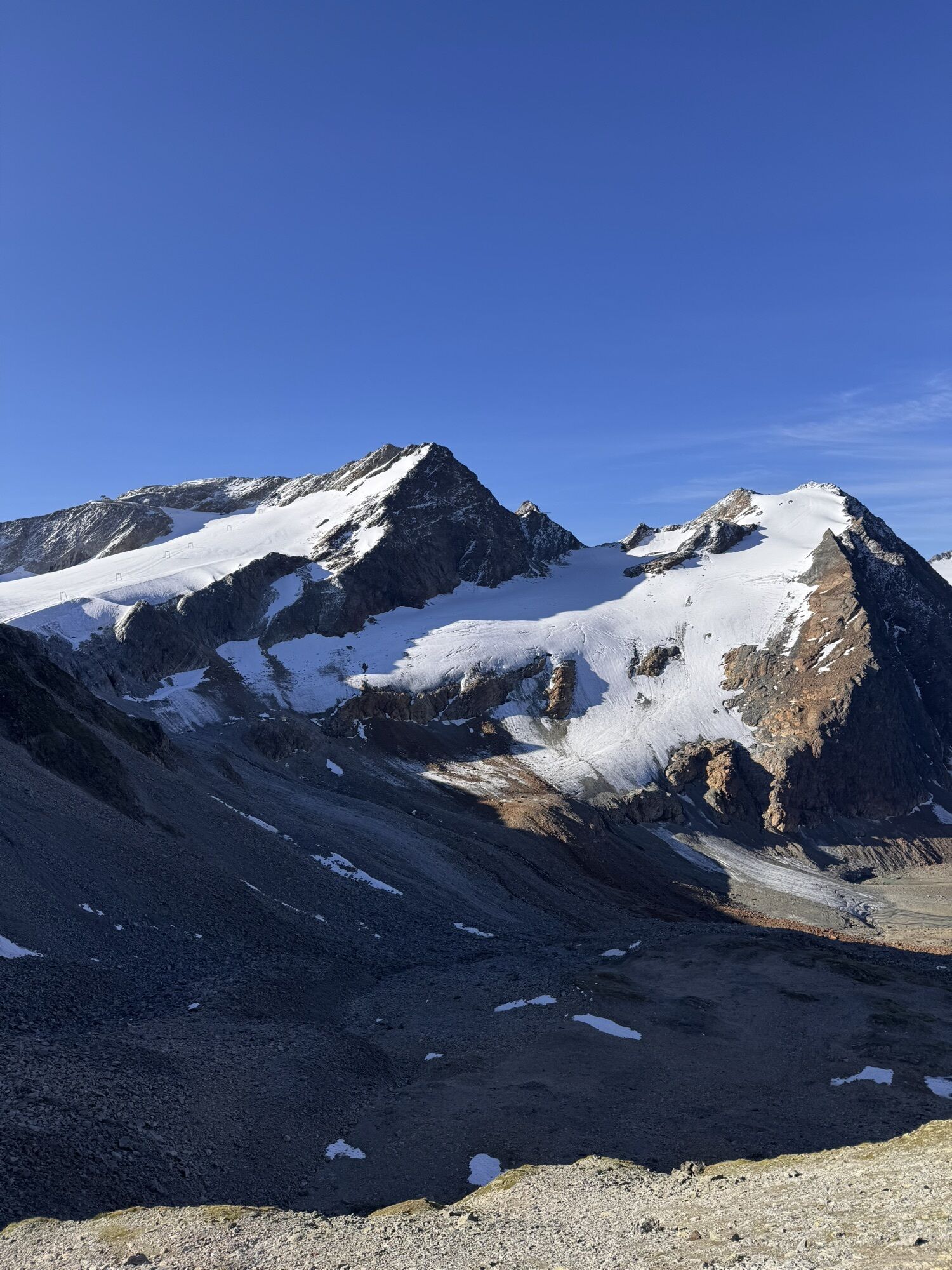
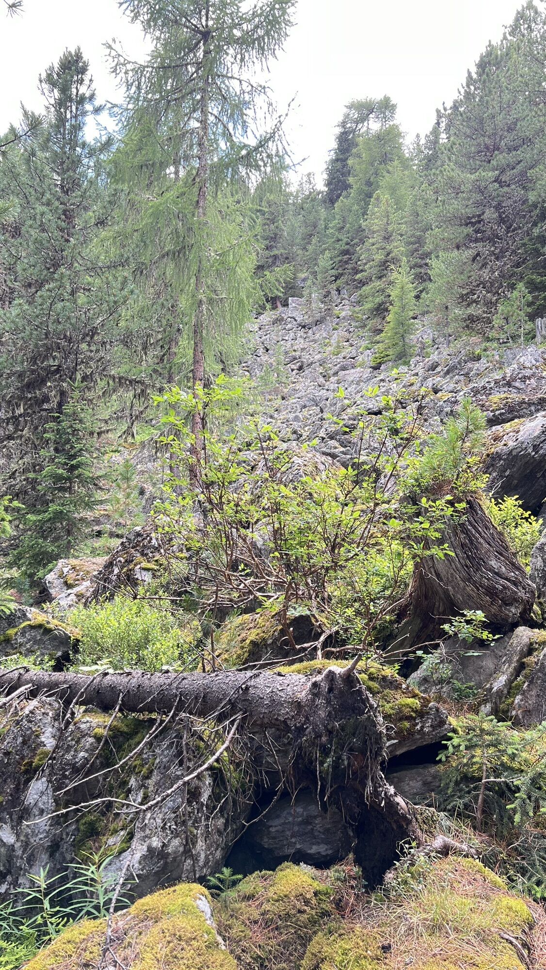
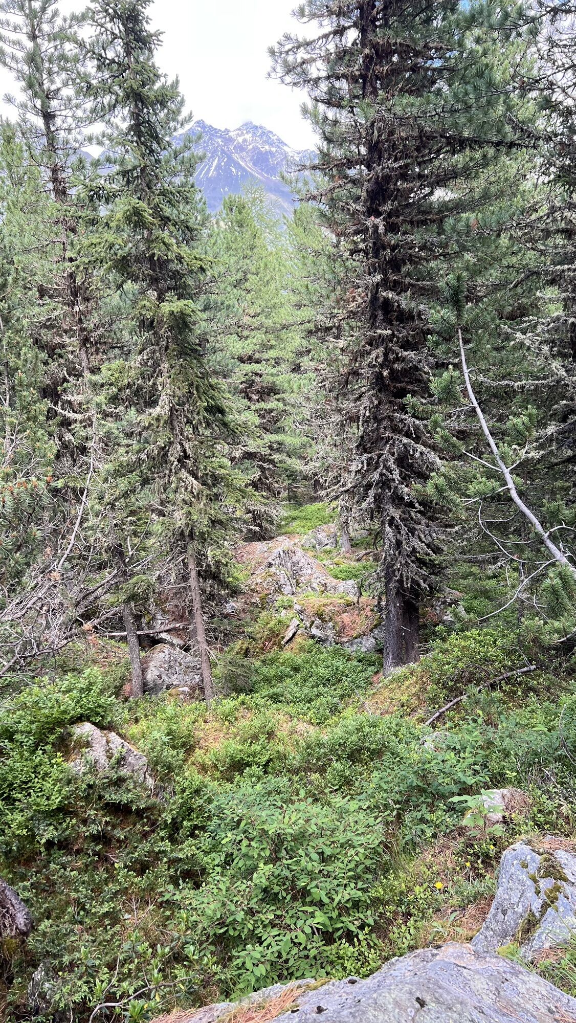
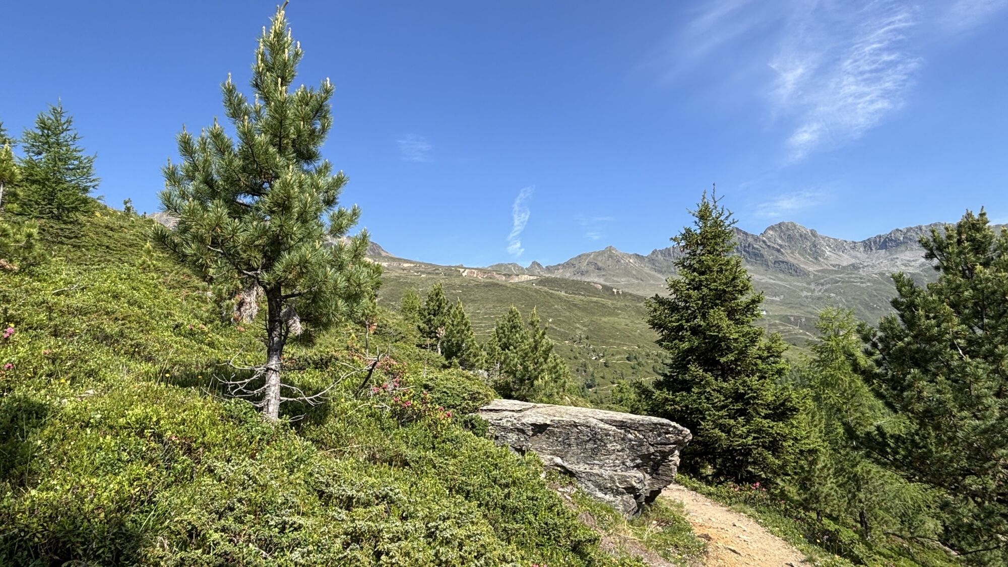
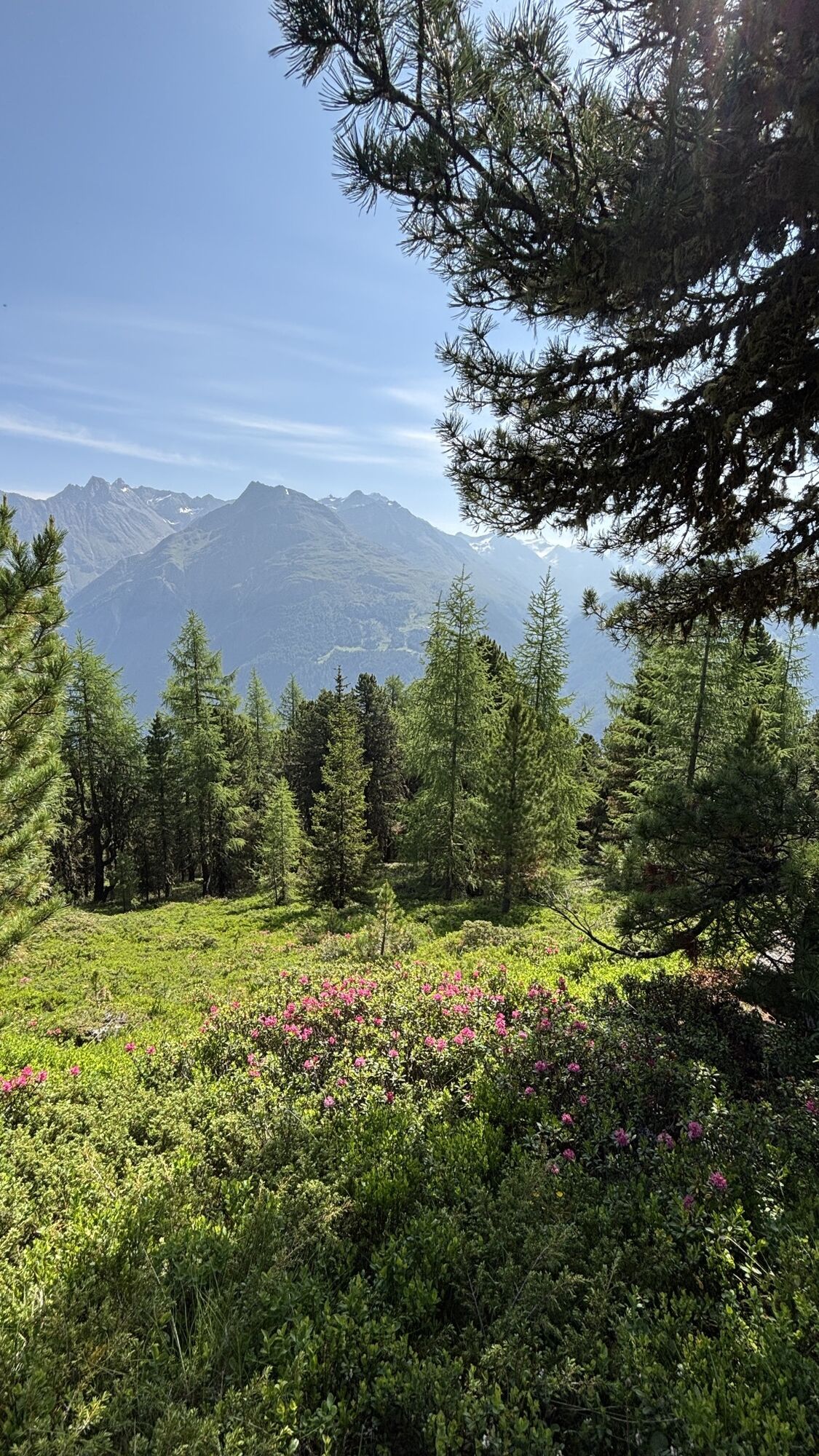
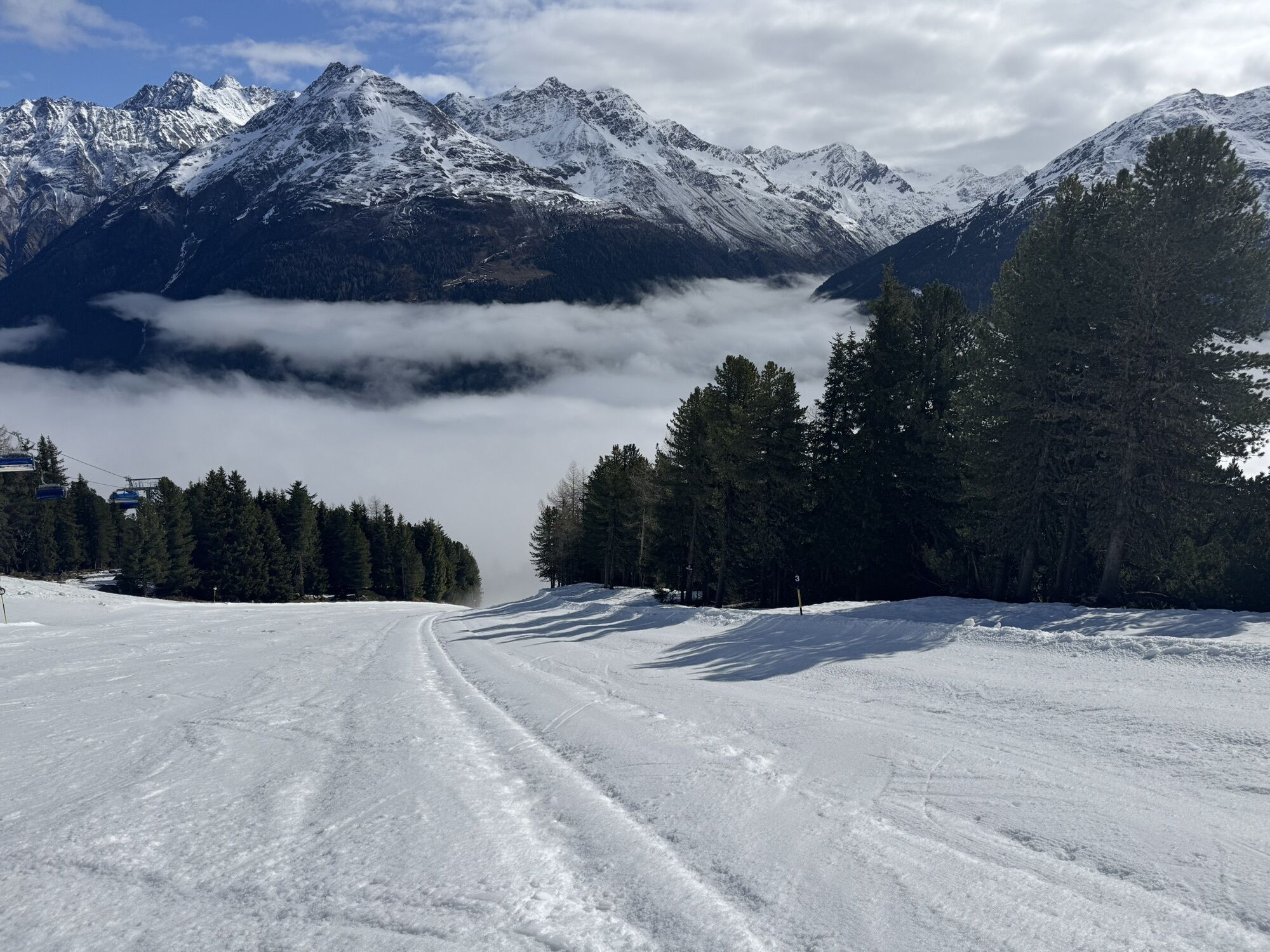
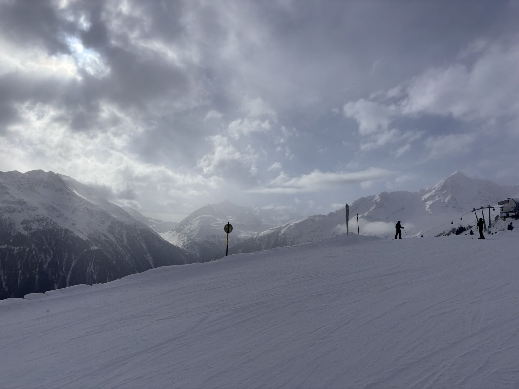
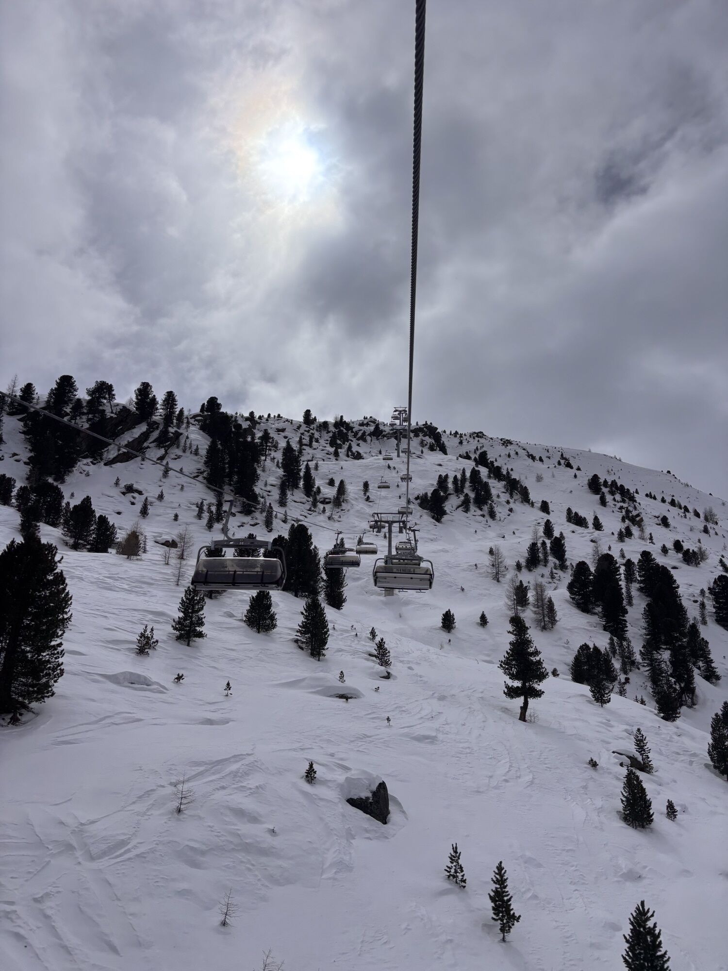
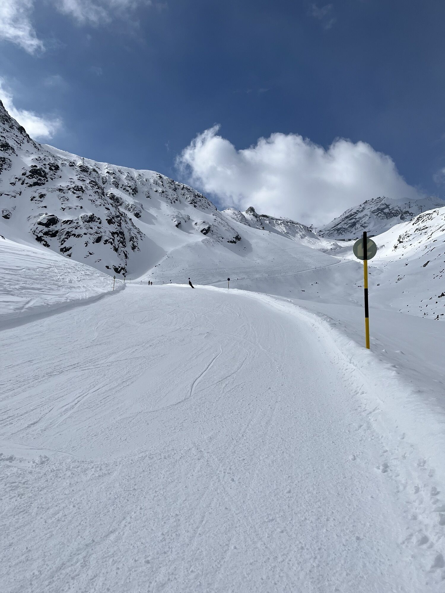
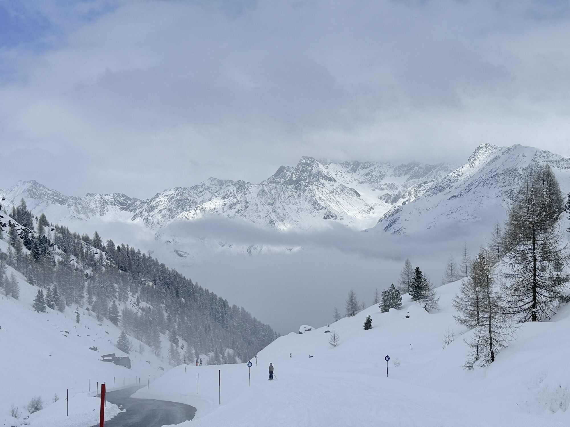
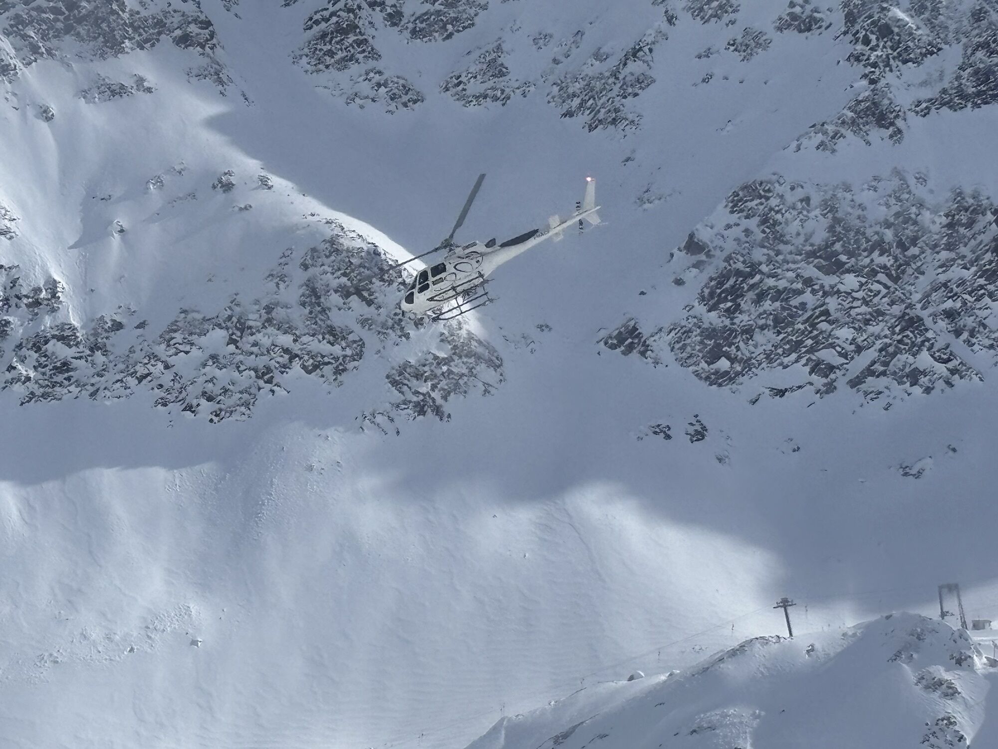
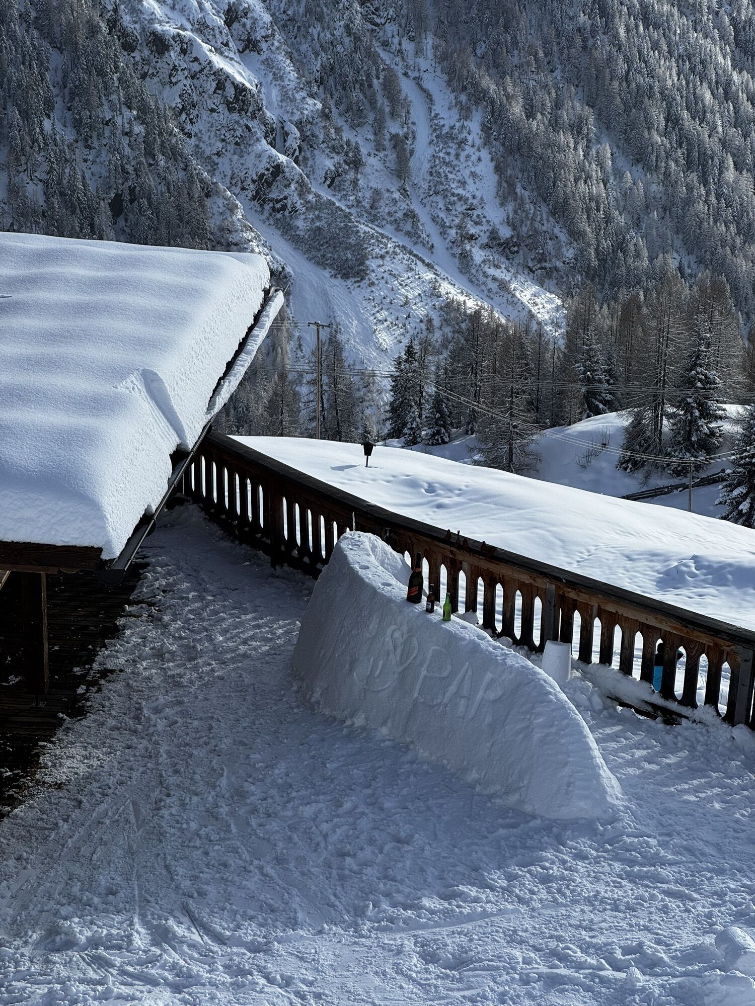
This particularly challenging segment of the trail starts at the Braunschweiger Hut (2,758 m) with a rather steep and difficult ascent to the Pitztaler Jöchl saddle (3,000 m), the highest point of this E5 segment. Once you reach the saddle, you will be rewarded with spectacular views of the Braunschweiger Hut, the Wildspitze mountain, the Rettenbachtal valley and the Riffelsee lake. You may encounter large snowfields in spring and early summer. There is an alternative shorter route via the Rettenbachjoch saddle. Both ways will take you to the Rettenbachferner glacier. From there, you will descend through the Rettenbachtal valley past luscious pastures and a little chapel to Zwieselstein (1,470 m).
Parcours
Braunschweiger Hütte
(2 758 m)
Refuge
0,0 km
Pitztaler Jochköpfle
(3 023 m)
Sommet
1,2 km
Gaislachalm
(1 972 m)
Refuge
11,7 km
Gaislachalm
(1 961 m)
Quartier de la ville
12,0 km
Mariahilfkapelle Gaislach
(1 784 m)
Lieu de culte
13,0 km
Brückenwirt
(1 463 m)
Restaurant
16,2 km
Zwieselstein
(1 470 m)
Village
16,3 km
Parcours
European E5 long-distance hiking trail – King’s Segment – Braunschweiger Hut to Zwieselstein (original route)
difficile
Chemin de Grande Randonnée
16,47
km
Marienkapelle
(2 751 m)
Lieu de culte
0,0 km
Braunschweiger Hütte
(2 758 m)
Refuge
0,0 km
Pitztaler Jochköpfle
(3 023 m)
Sommet
1,2 km
Bergsteigerkapelle Sölden
(2 675 m)
Lieu de culte
3,1 km
Löple Alm
(1 974 m)
Restaurant
10,8 km
Gaislachalm
(1 972 m)
Refuge
11,7 km
Gaislachalm
(1 961 m)
Quartier de la ville
12,0 km
Gasthaus Silbertal
(1 970 m)
Restaurant
12,0 km
Gaislach
(1 809 m)
Quartier de la ville
12,9 km
Mariahilfkapelle Gaislach
(1 784 m)
Lieu de culte
13,0 km
Brückenwirt
(1 463 m)
Restaurant
16,2 km
Zwieselstein
(1 470 m)
Village
16,3 km
Auteur
Fourni par Ötztal

Informations sur l'itinéraire
Itinéraire
The Ötztal is a southern side valley of the Inn valley. For your arrival by car, you can plan the best route from your home town with the route planner online at https://www.google.at/maps
Transports en commun
Enjoy a both comfortable and relaxing train ride to the train station in Ötztal Bahnhof. You get off the train in ÖTZTAL Bahnhof where you change to a public bus or local taxi. The current bus schedule can be found at: http://fahrplan.vvt.at
Pas encore d'évaluation
Webcams de la tournée
-
Seekogel
-
Gaislachkogel
-
Schwarze Schneidbahn
-
Tiefenbachgletscher
-
Rettenbachgletscher
-
Hochsölden
-
Sölden - Grünwald Resort
-
Top Mountain Crosspoint Hochgurgl
-
Top Mountain Crosspoint Hochgurgl
-
Top Mountain Crosspoint Hochgurgl
-
Top Mountain Crosspoint Hochgurgl
-
Top Mountain Crosspoint Hochgurgl
-
Sölden - Grünwald Resort
-
Giggijoch
-
Giggijoch
-
Giggijoch
-
Giggijoch
-
Giggijoch
-
Giggijoch
-
Giggijoch
-
Giggijoch
-
Top Mountain Crosspoint Hochgurgl
-
Schwarze Schneid Mittelstation
-
Sölden - Gaislachkogelbahn Mittelstation
-
Sölden - Schwarzkogl Talstation
-
Sölden - Tiefenbachkogl
-
Sölden
-
The Peak Sölden**** Chalets und Appartements
Parcours populaires à proximité
-
4,8
Vent - Kreuzspitze
Randonnée 20,6 km -
4,3
Amberger Hütte - Längenfeld/Gries
moyenRandonnée 5,60 km -
4,4
Hochtour Wildspitze, 3.768m
moyenRandonnée d'altitude 9,75 km -
4,7
Parcours circulaire hivernal Brandalm/Burgstein - Längenfeld 204
moyenRandonnées d'hiver 5,44 km -
4,4
Rundwanderung Hängebrück3
facileRandonnée 6,32 km -
3,1
Sentier d'altitude Tiefenbach - village d'alpinisme Vent
moyenRandonnée 10,8 km -
4,5
Vent - Wilder Mann - cabane Breslauer - Stableinalm
moyenRandonnée 7,25 km -
4,1
Hohe Geige über Gawinden und den Westgrat
difficileRandonnée 14,3 km -
5,0
Obergurgl - Ramolhaus
Randonnée 7 km -
5,0
Nissl Alm - Längenfeld/Gries
facileRandonnée 5,17 km

Randonnée et suivi

Plus de 550.000 propositions de circuits, des cartes détaillées et un planificateur d'itinéraire intuitif font de cette application un must pour tous les passionnés de nature.

Ne manquez pas les offres et l'inspiration pour vos prochaines vacances
S'inscrire à la newsletter
Erreur
Une erreur s'est produite. Veuillez réessayer.
Merci pour votre inscription
Votre adresse électronique a été ajouté à la liste de diffusion.
Parcours en Europe
Autriche
Suisse
Allemagne
Italie
Slovénie
France
Pays-Bas
Belgique
Pologne
Liechtenstein
République tchèque
Slovaquie
Espagne
Croatie
Bosnie-Herzégovine
Luxembourg
Andorre
Portugal
Islande
Royaume-Uni
Irlande
Grèce
Albanie
Macédoine du Nord
Malte
Norvège
Monténégro
Moldavie
Kosovo
Hongrie
Saint-Marin
Roumanie
Estonie
Lettonie
Bélarus
Chypre
Lituanie
Serbie
Bulgarie
Monaco
Danemark
Suède
Finlande