






Scheffauer summit tour
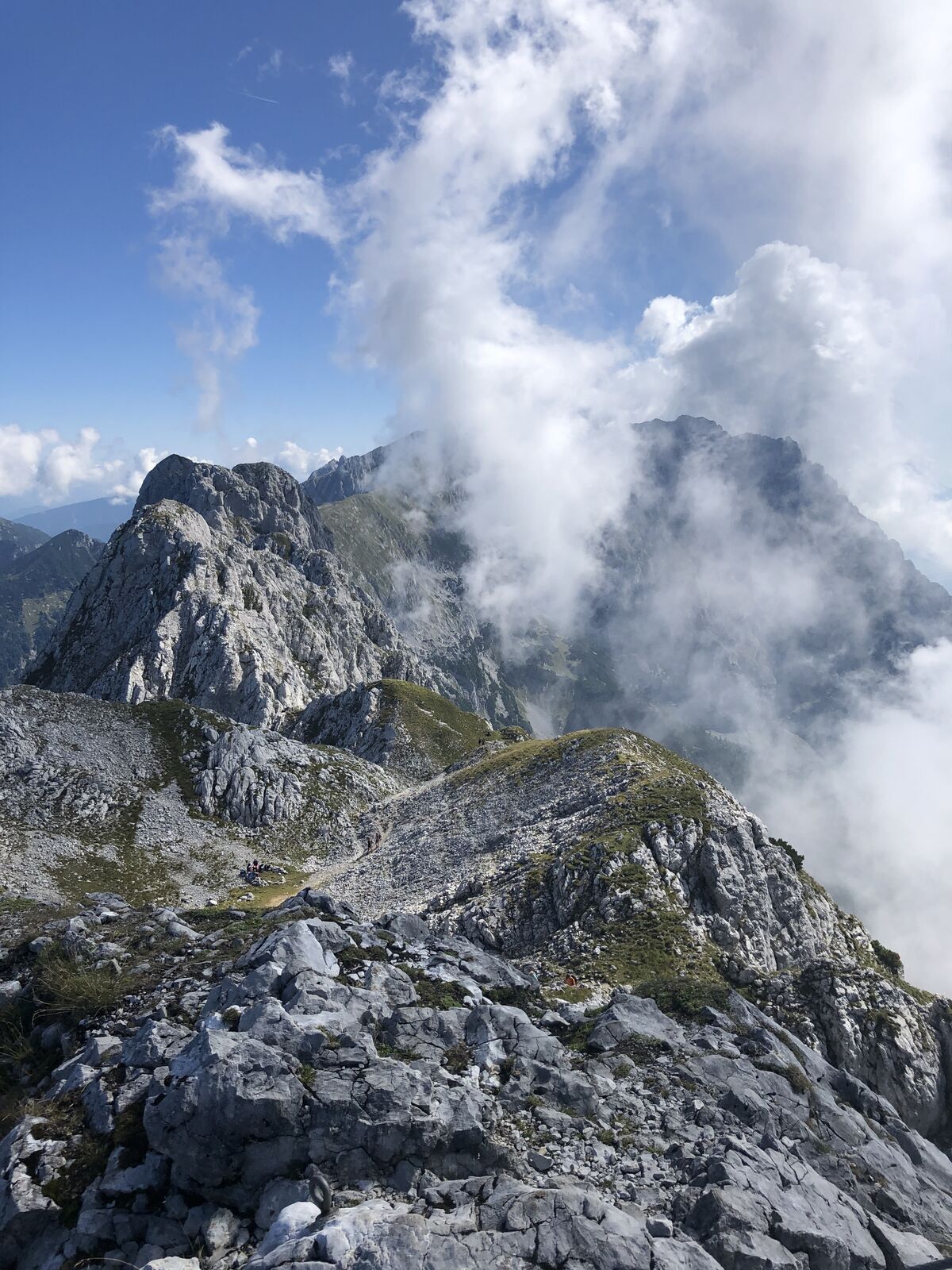
Ascent:
Depart from the hiking starting point by taking the forest road (barriers), always following the signs for “Scheffauer”. After about an hour of hiking, you will come to the Steiner-Hochalm mountain...
Ascent:
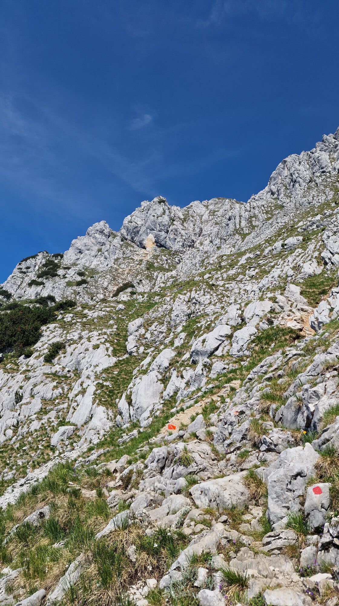
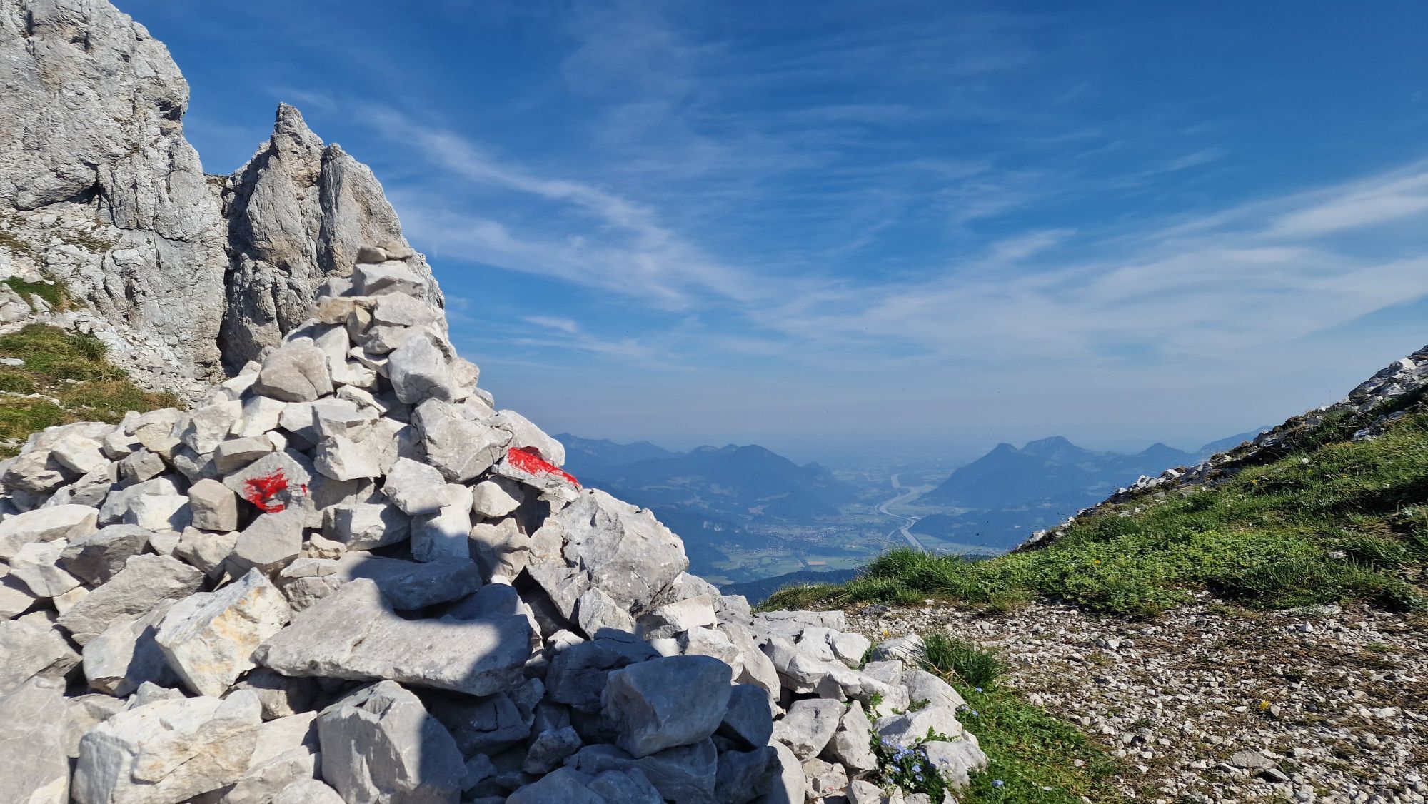
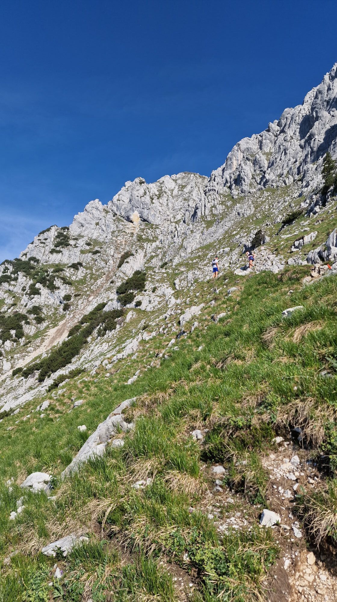
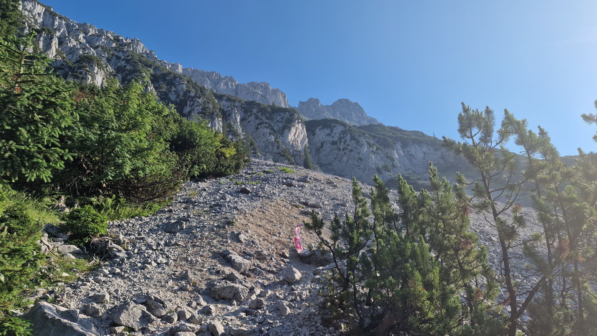
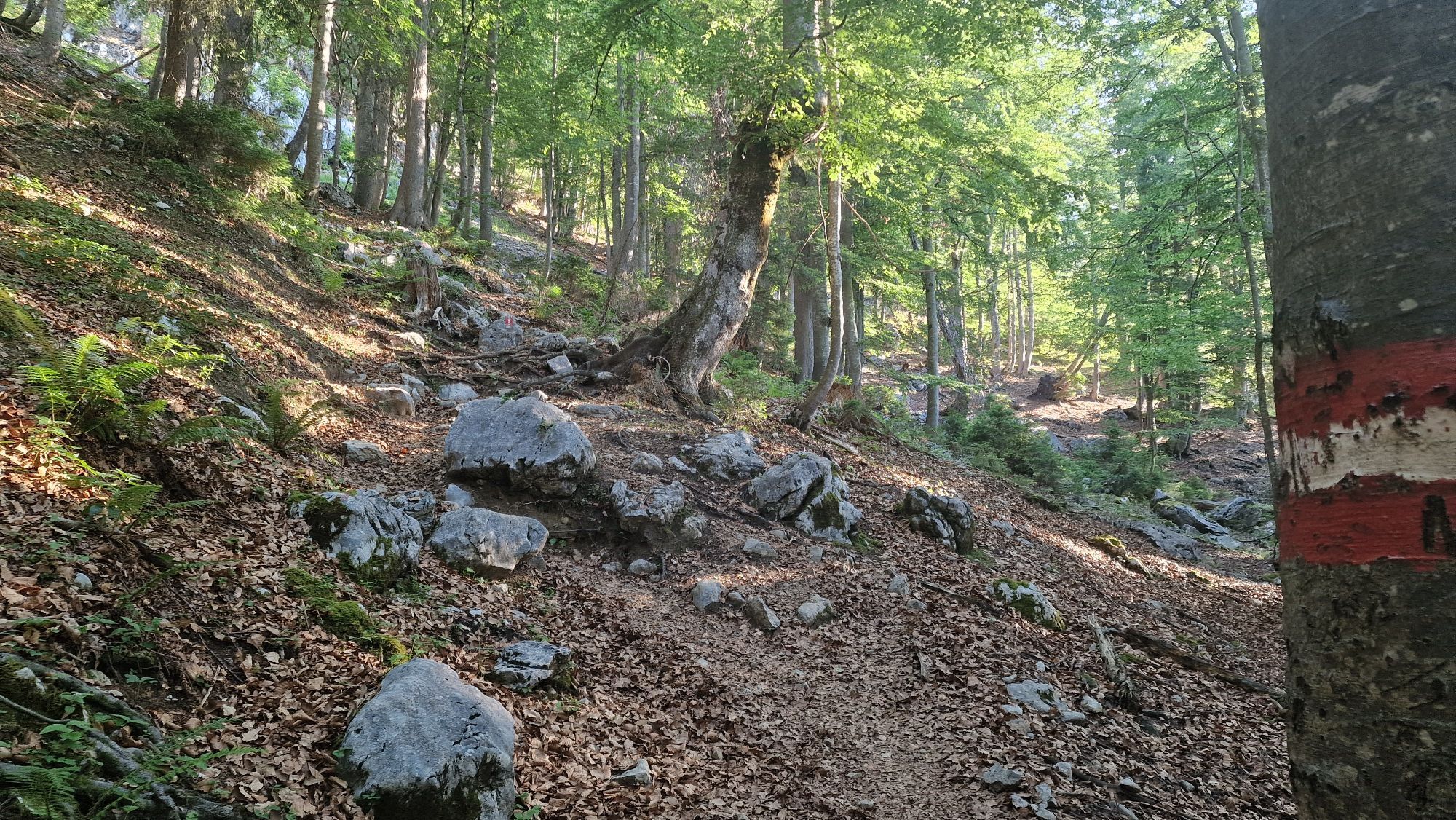
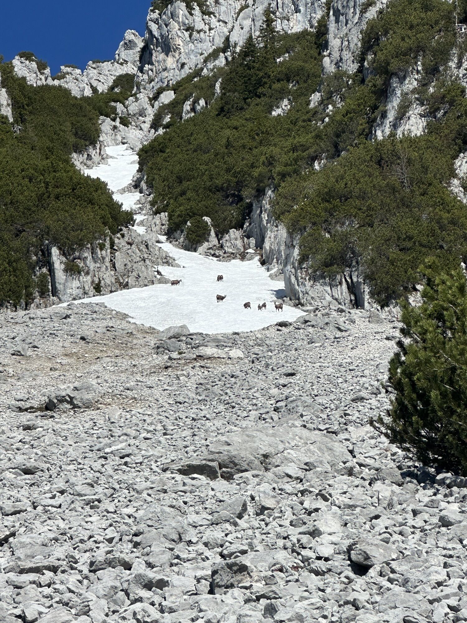
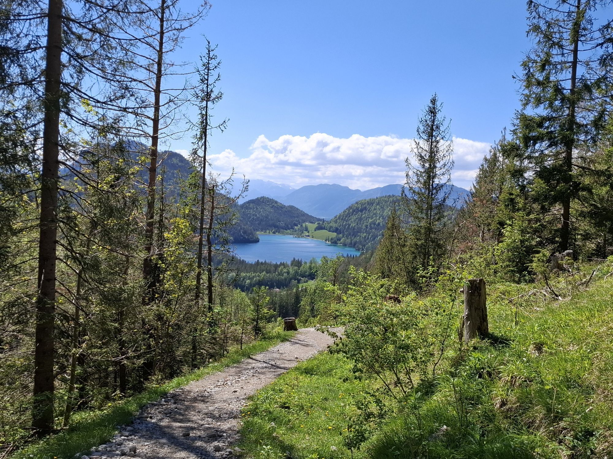
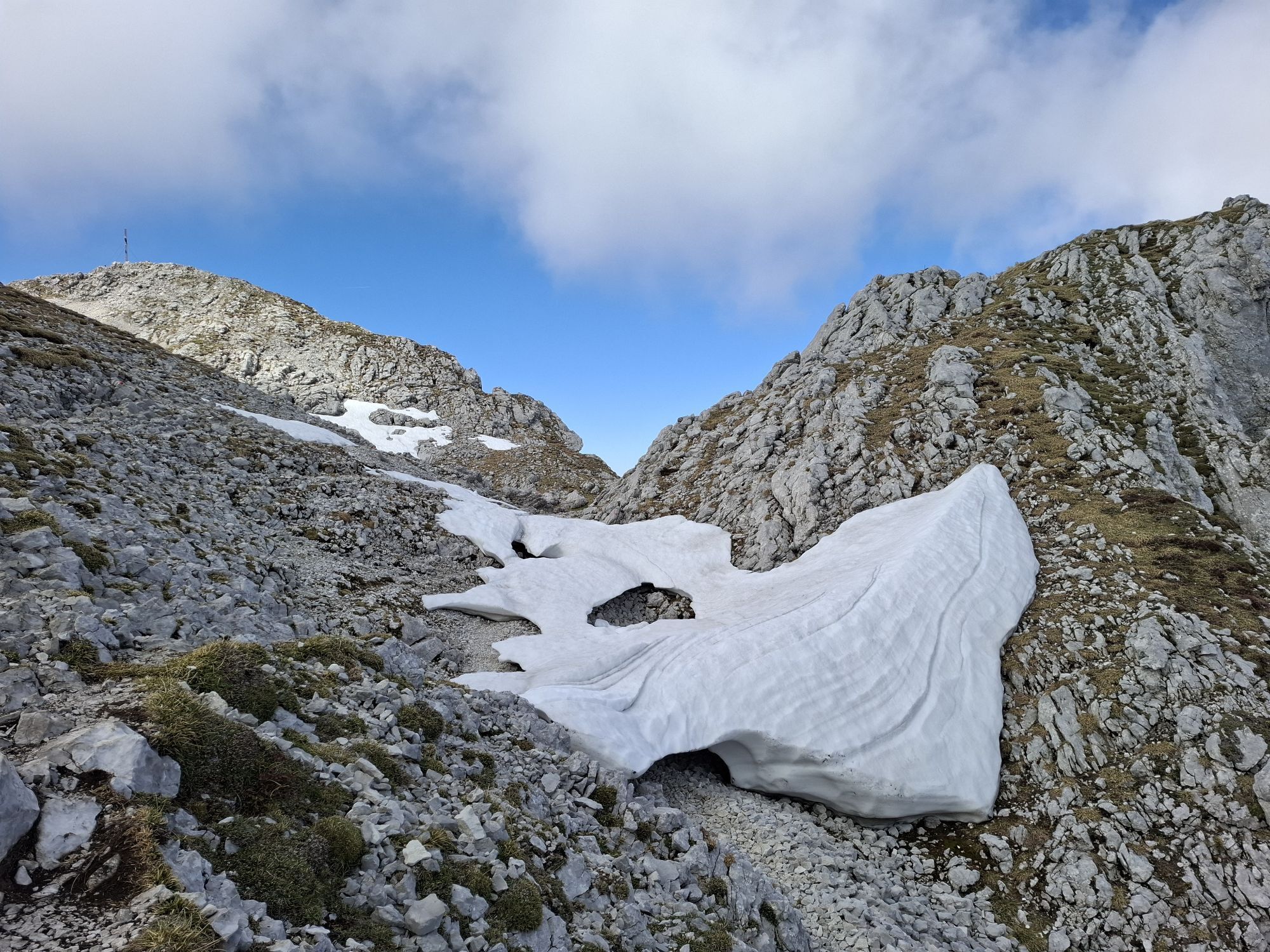
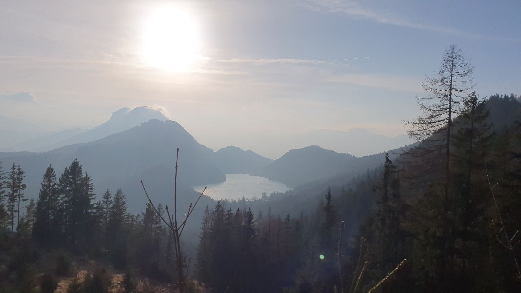
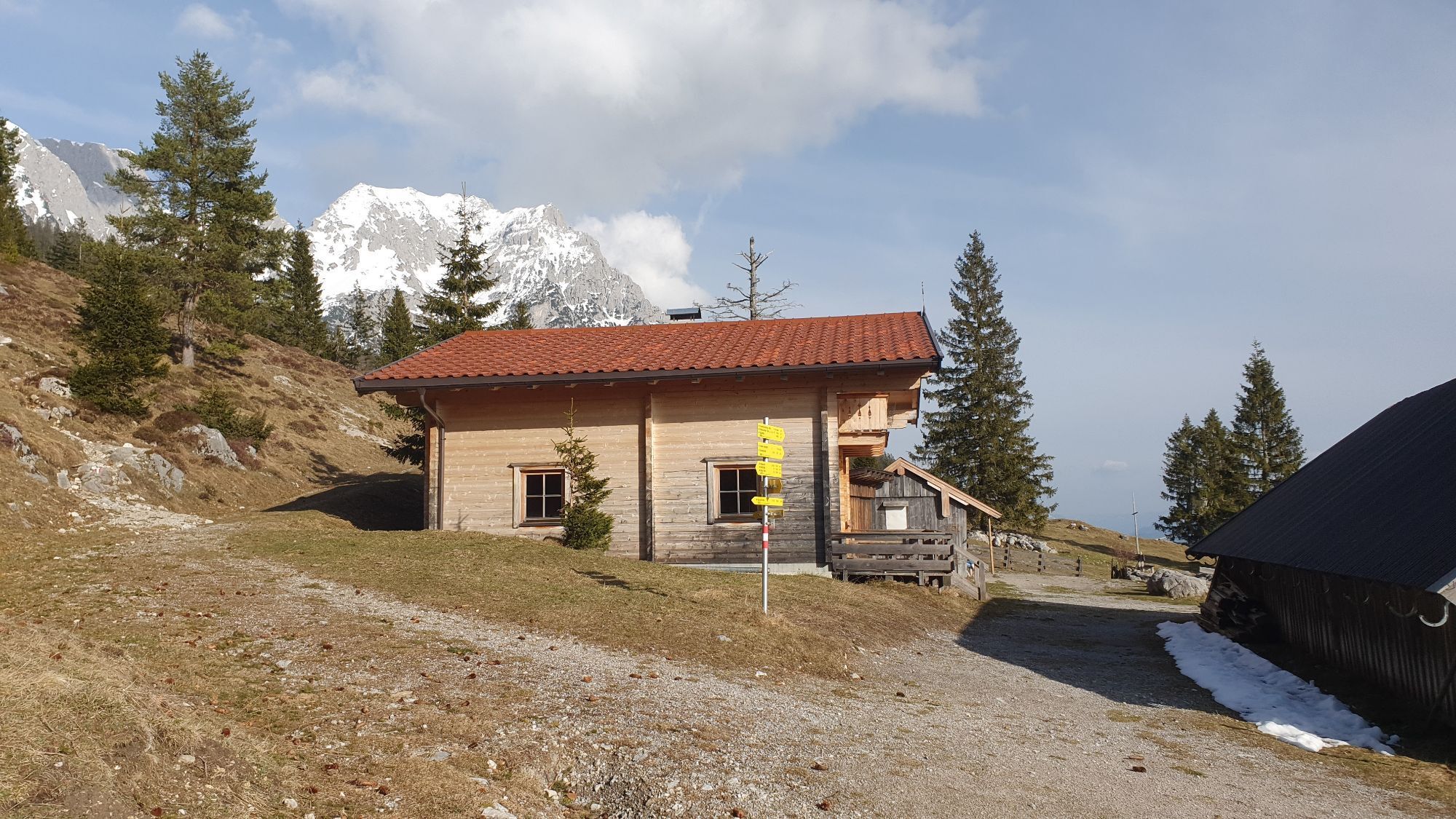
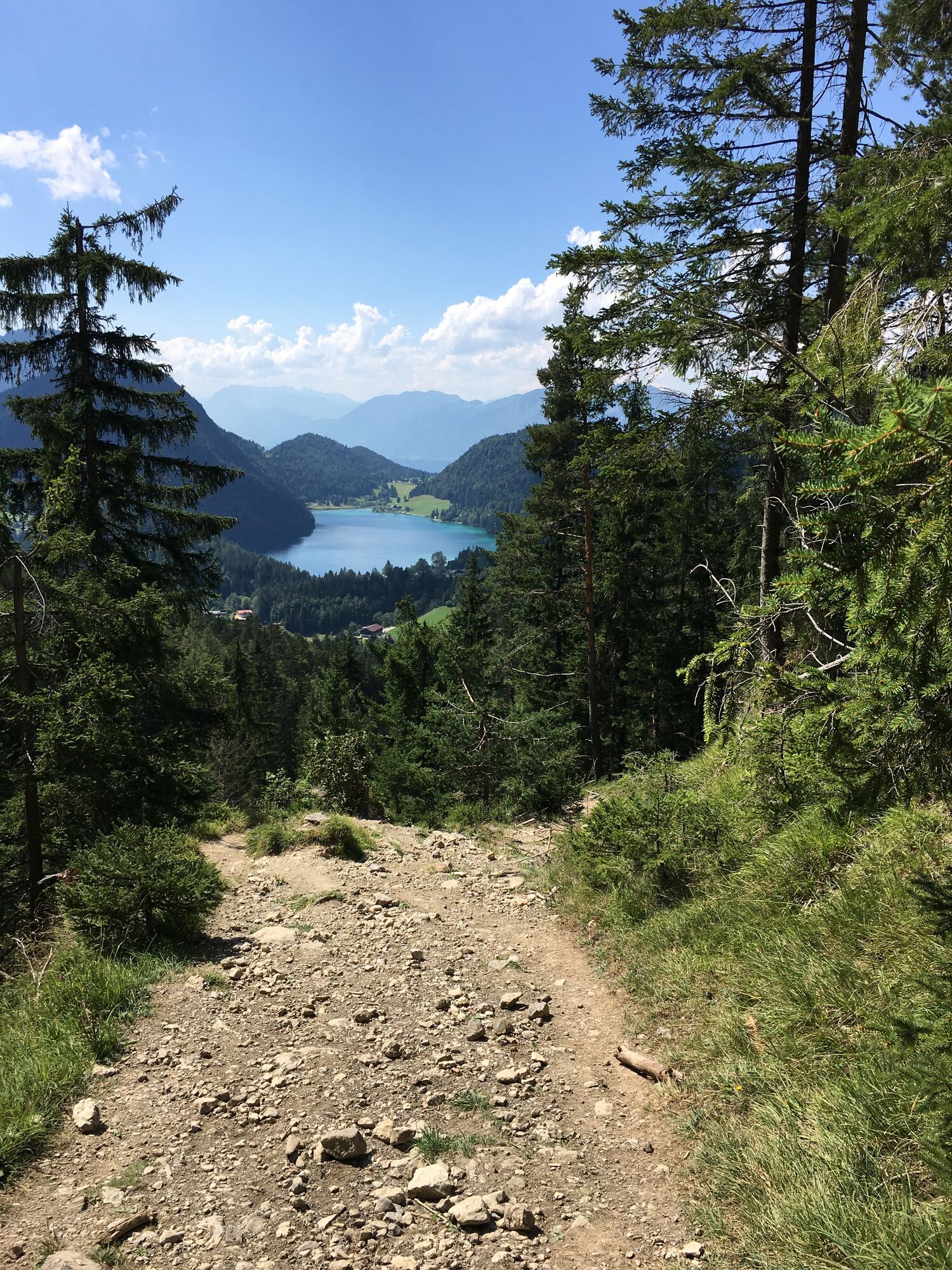
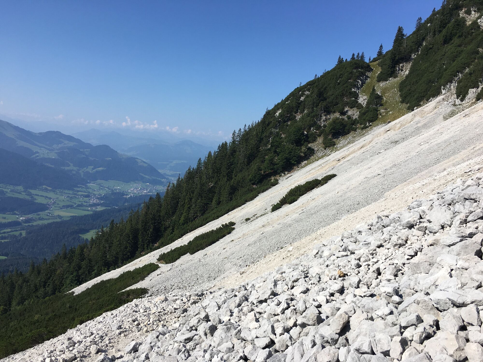
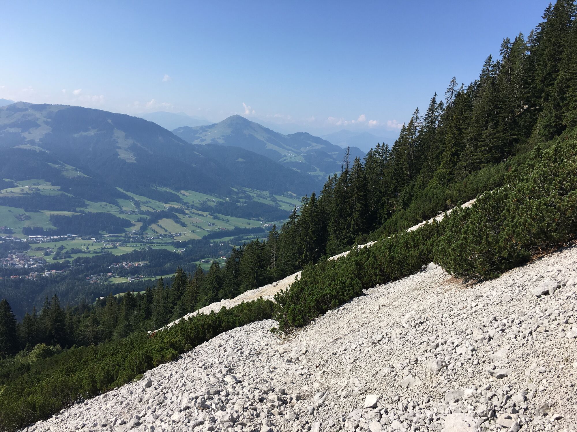
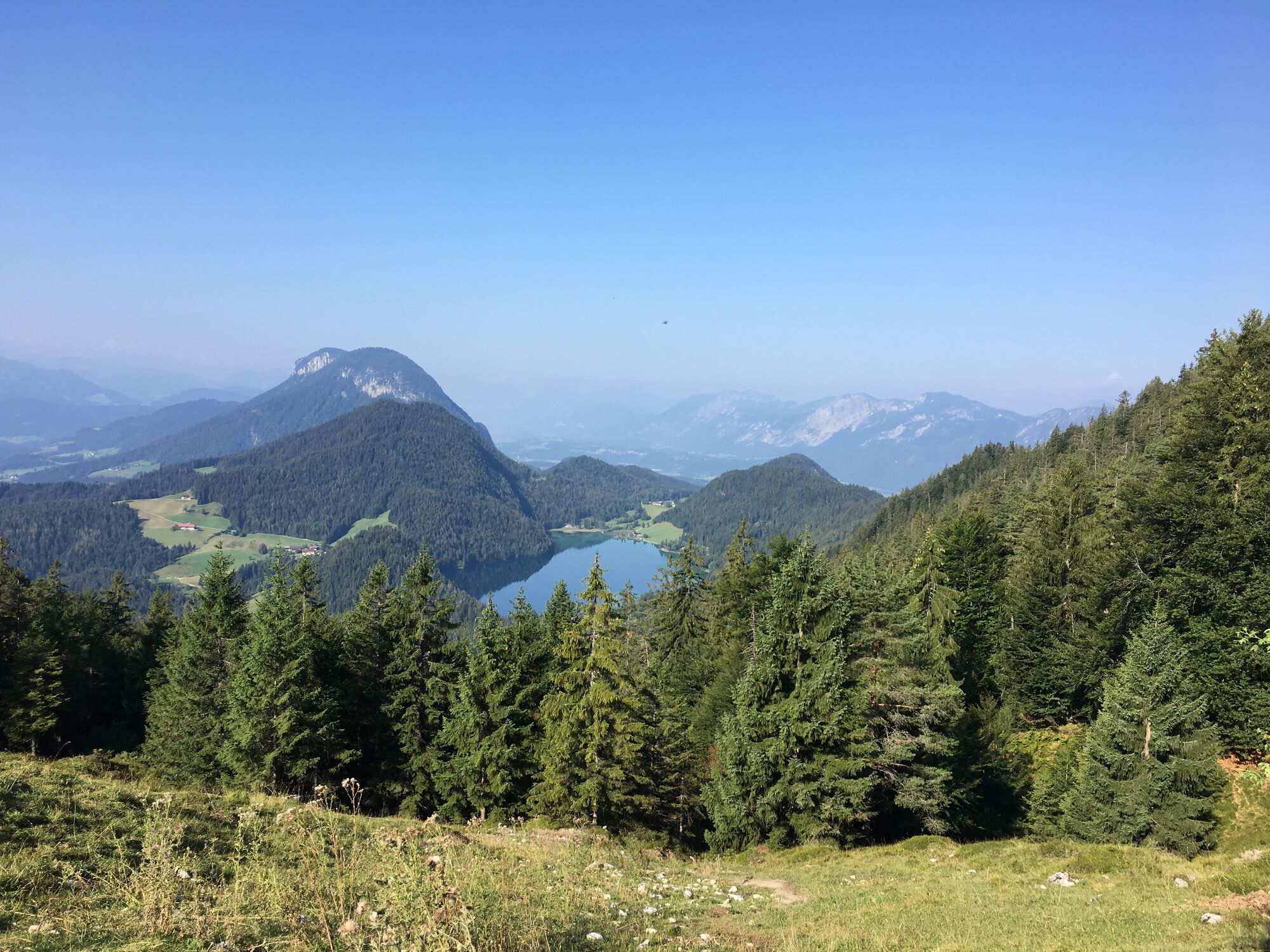
Depart from the hiking starting point by taking the forest road (barriers), always following the signs for “Scheffauer”. After about an hour of hiking, you will come to the Steiner-Hochalm mountain hut (1,257 m). You should then head uphill on the narrow trail 814a, passing through open meadows and then the thin deciduous forest before crossing the large field of scree until you reach the “Scheffauer” turnoff.
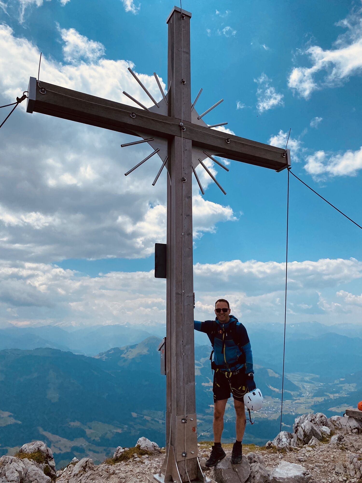
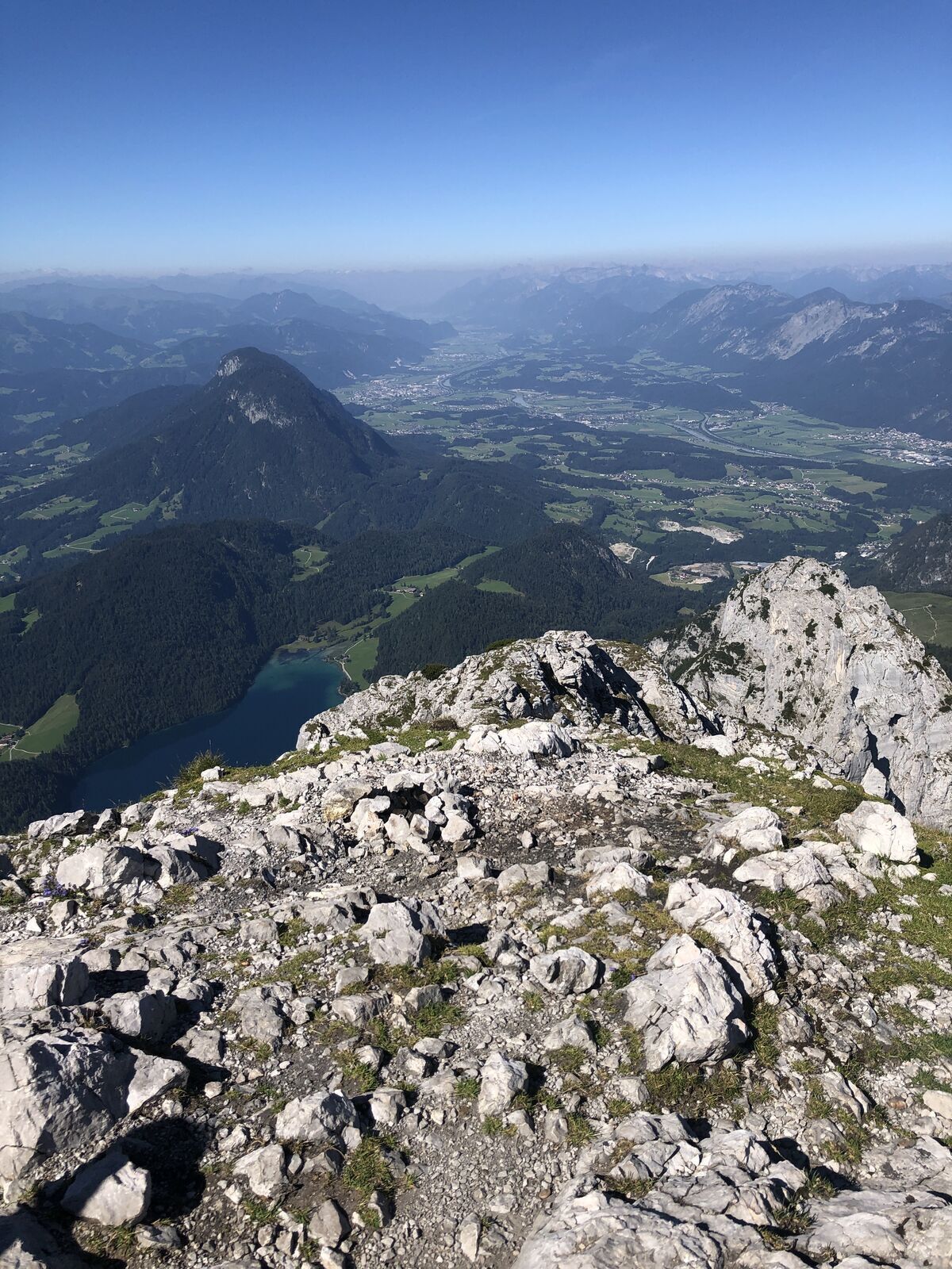
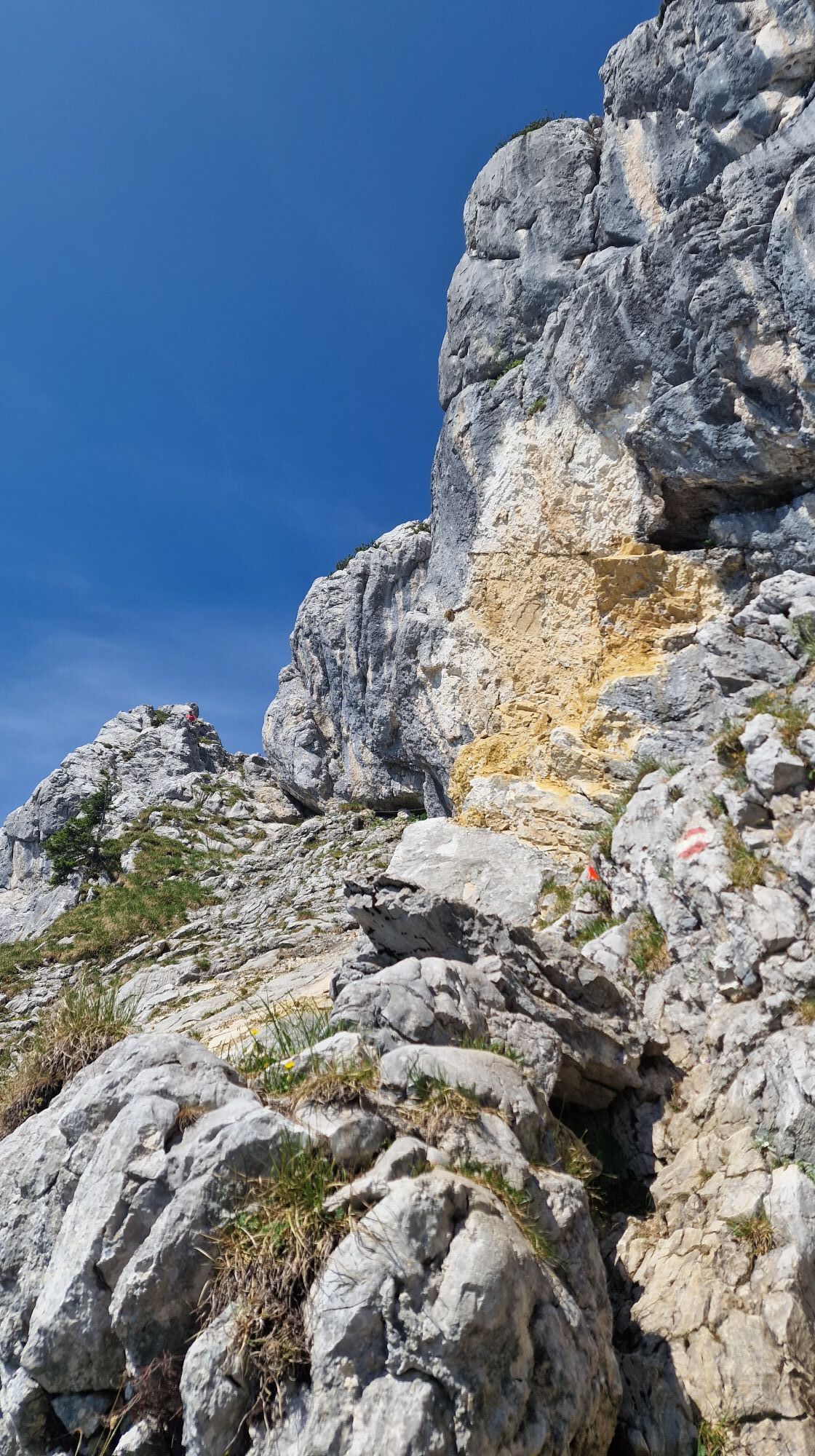
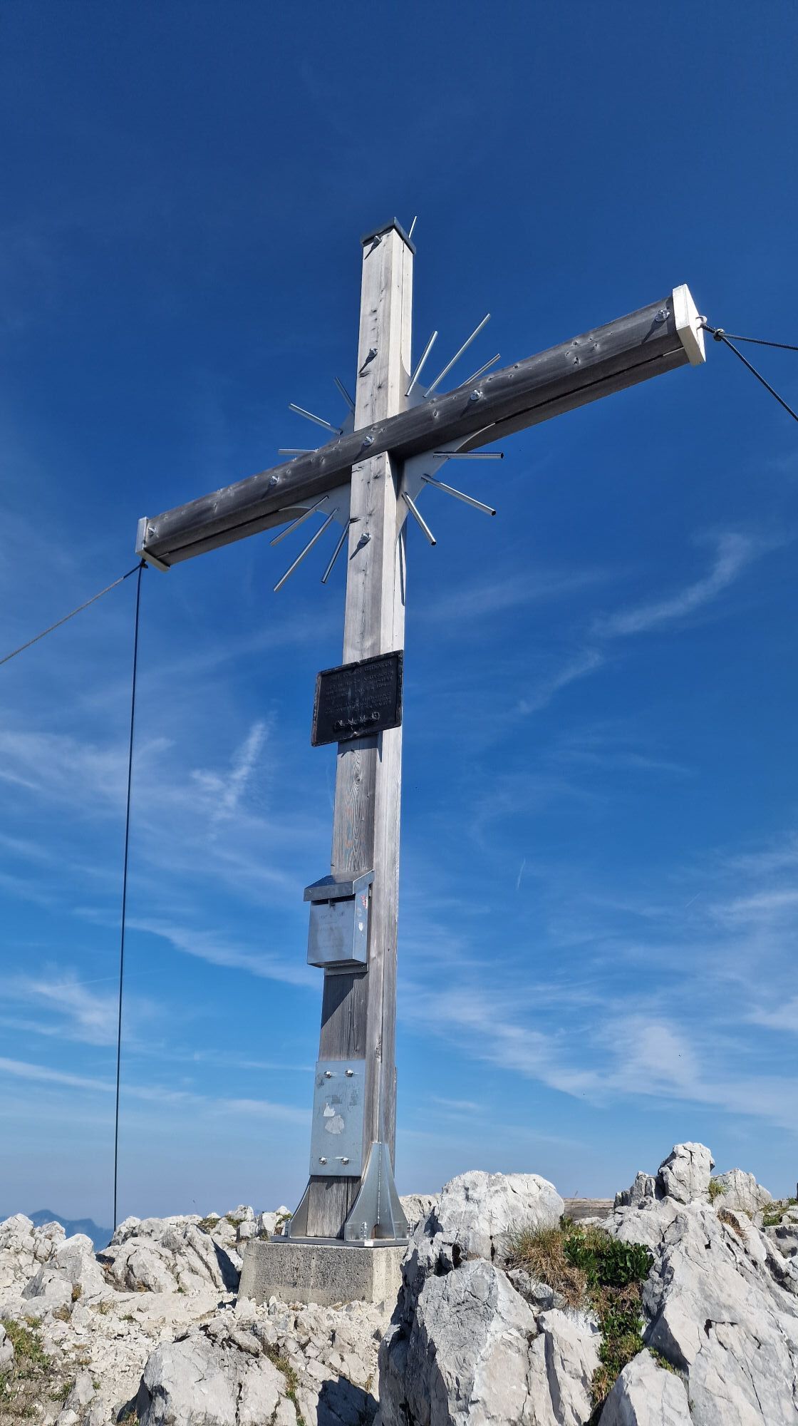
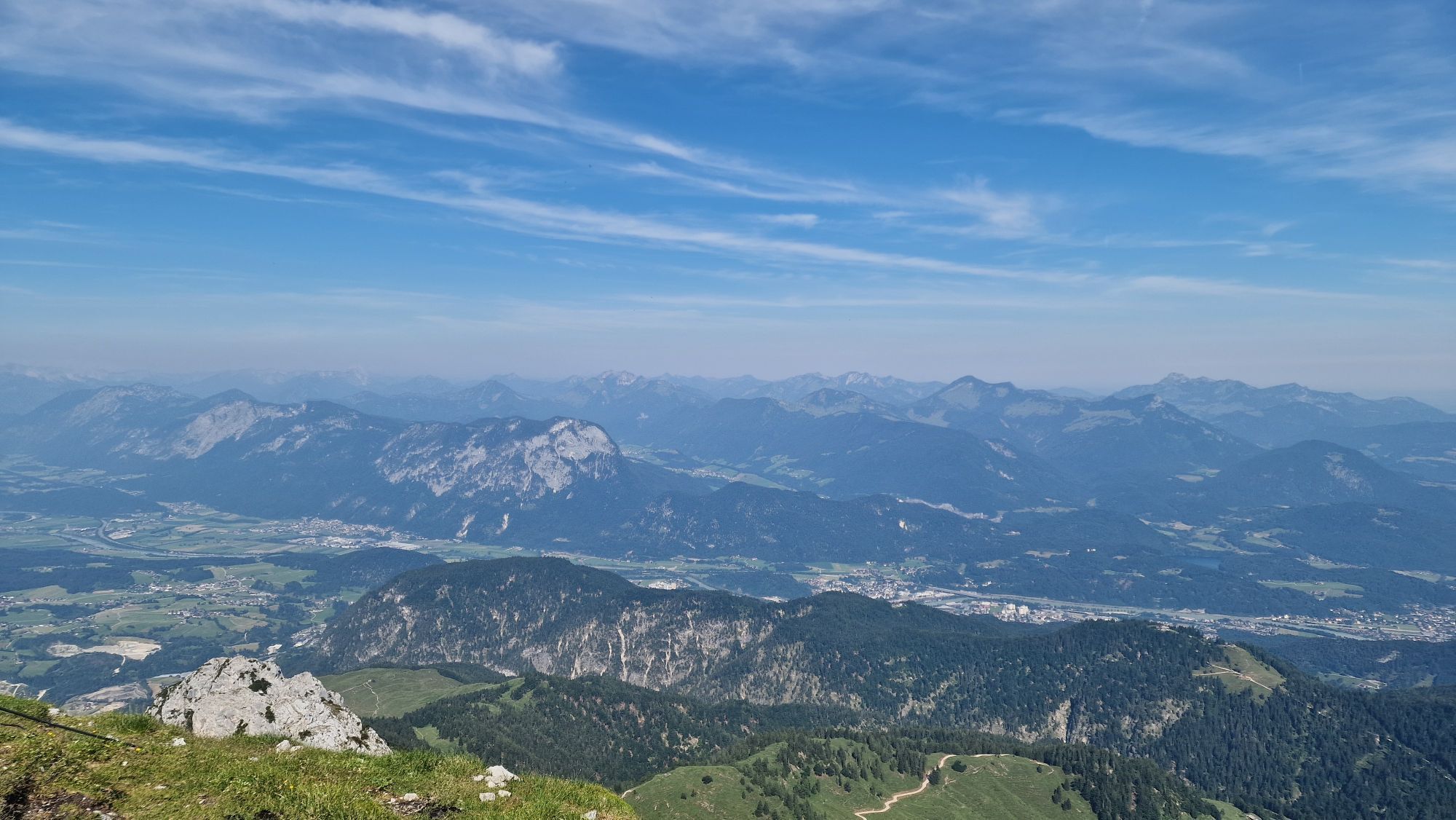
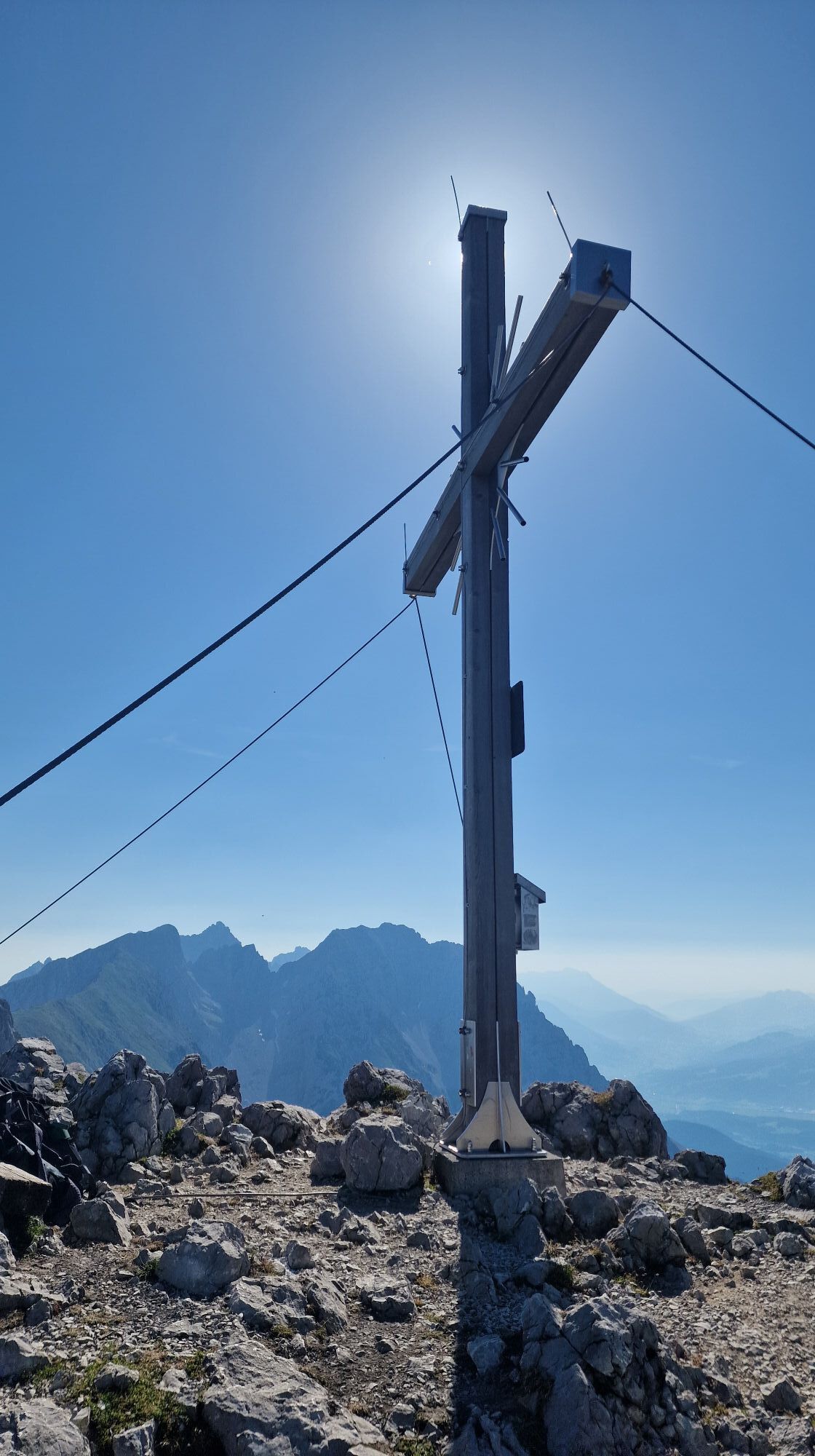
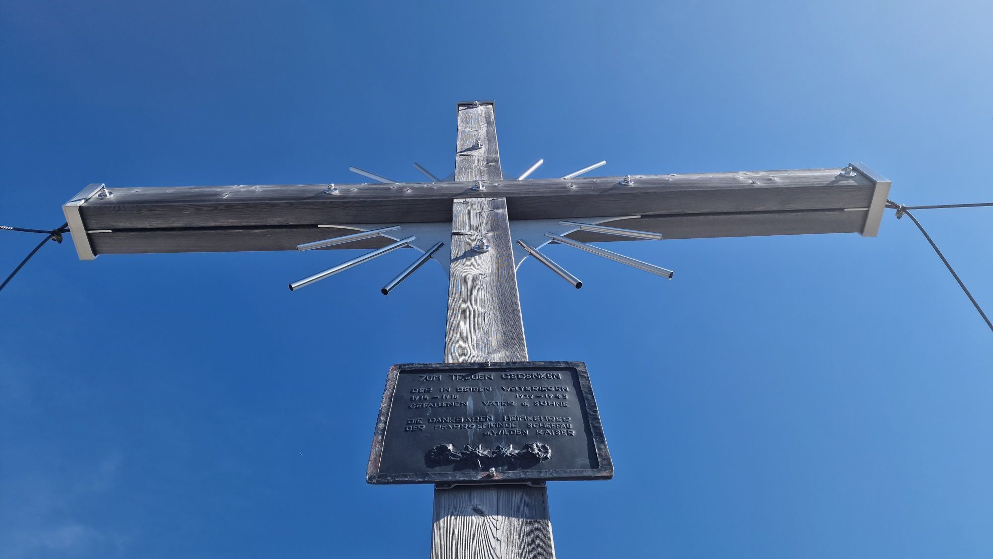
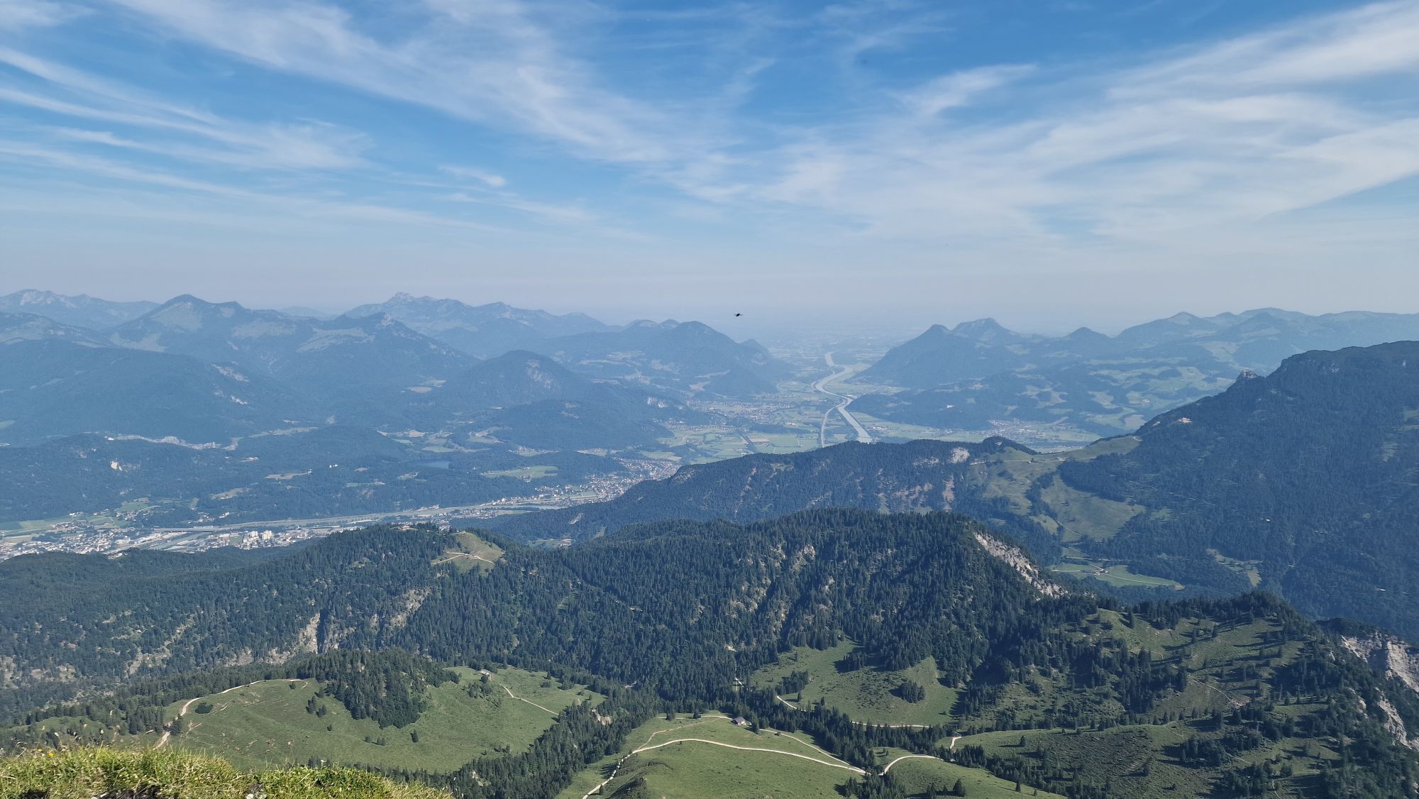
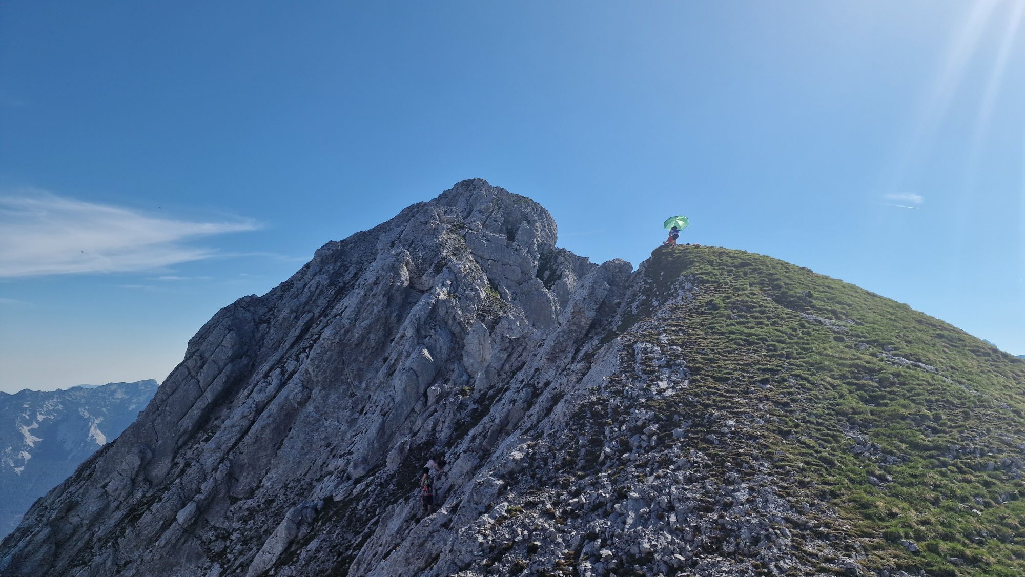
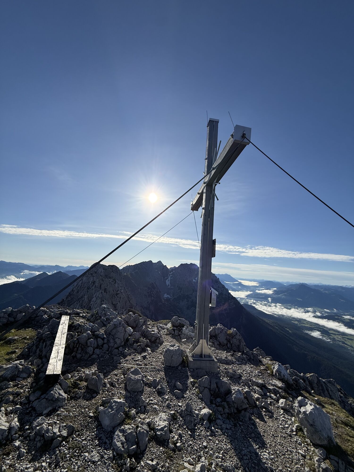
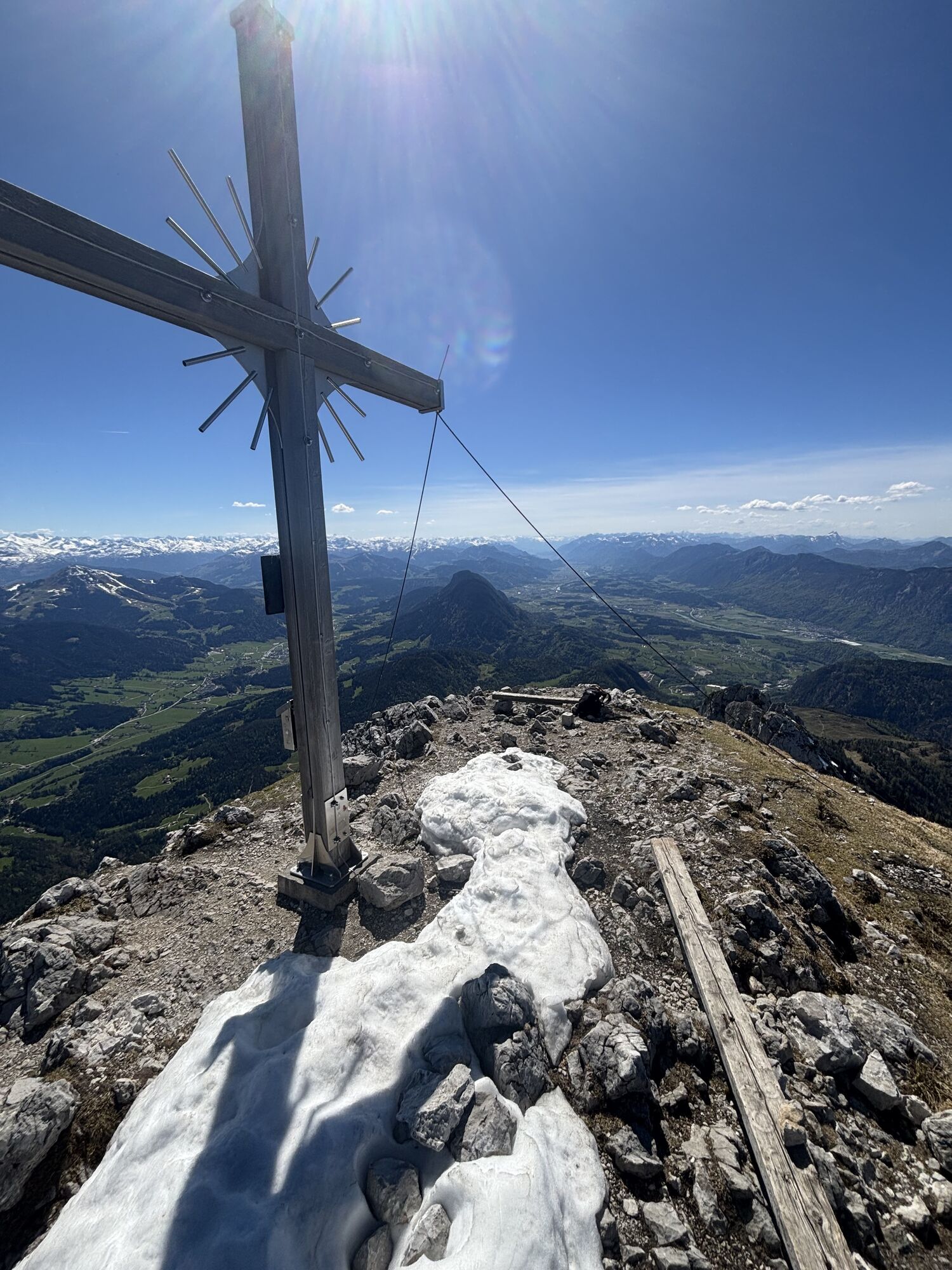
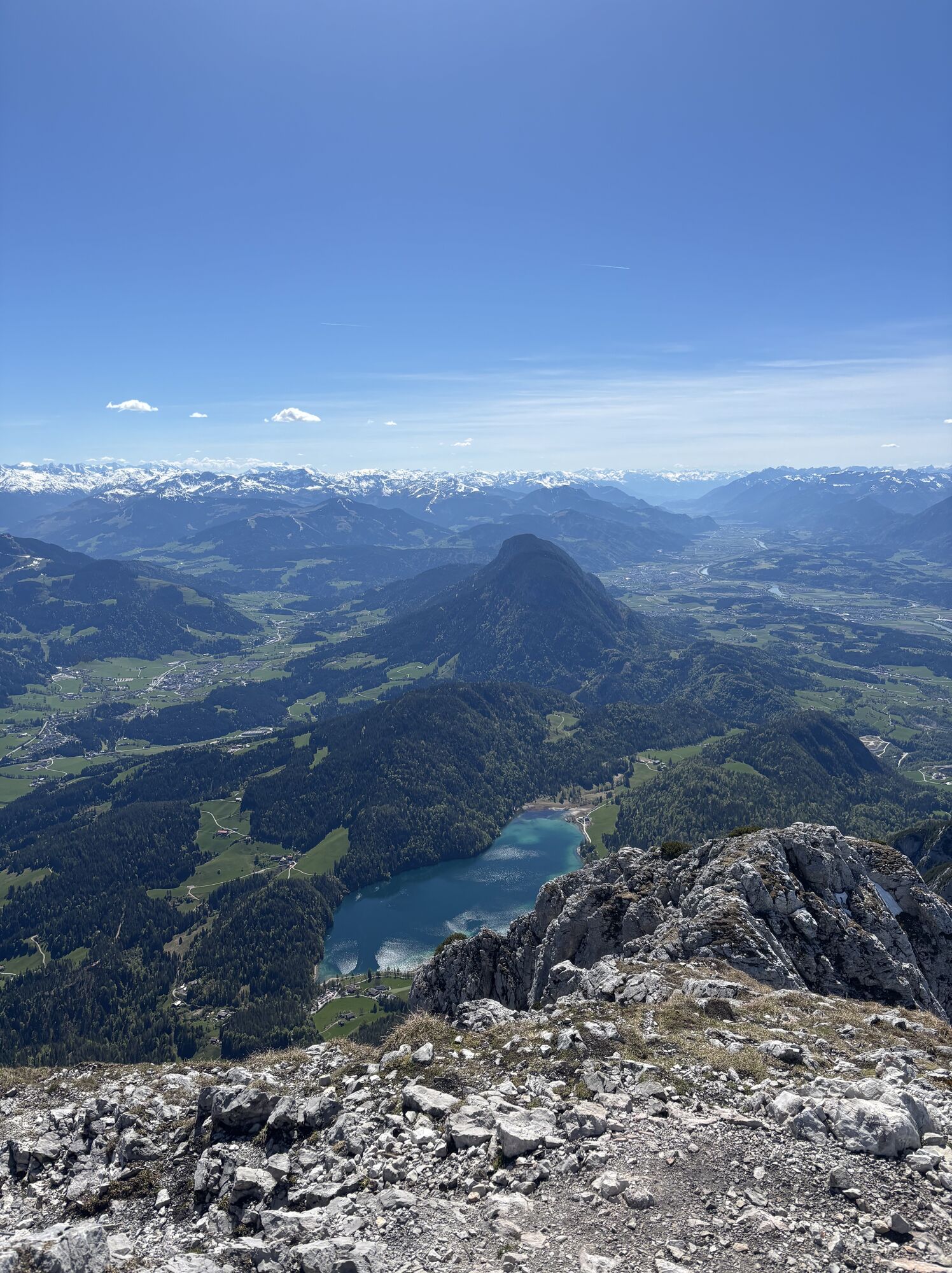
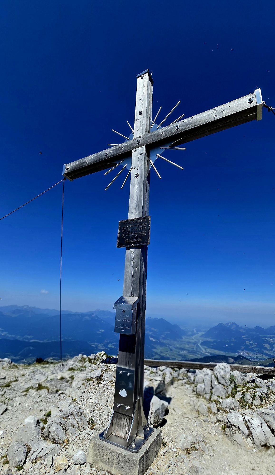
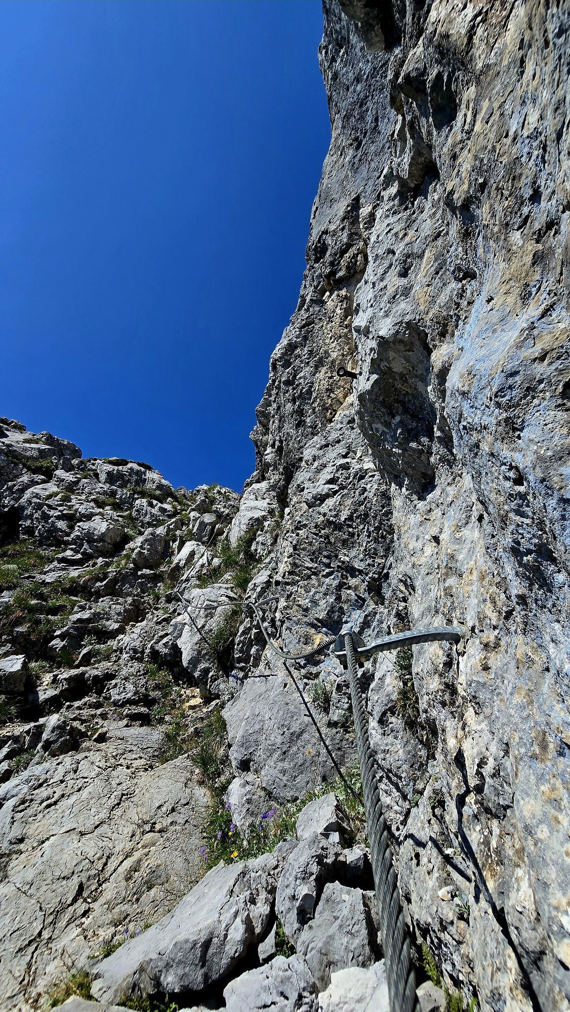
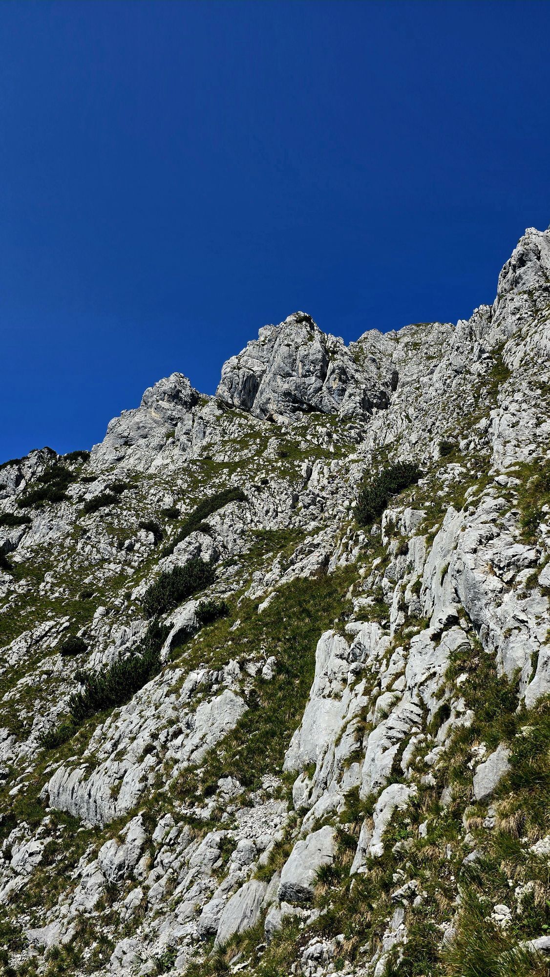
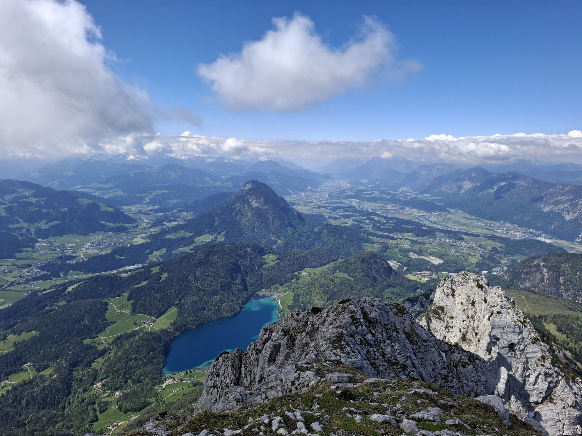
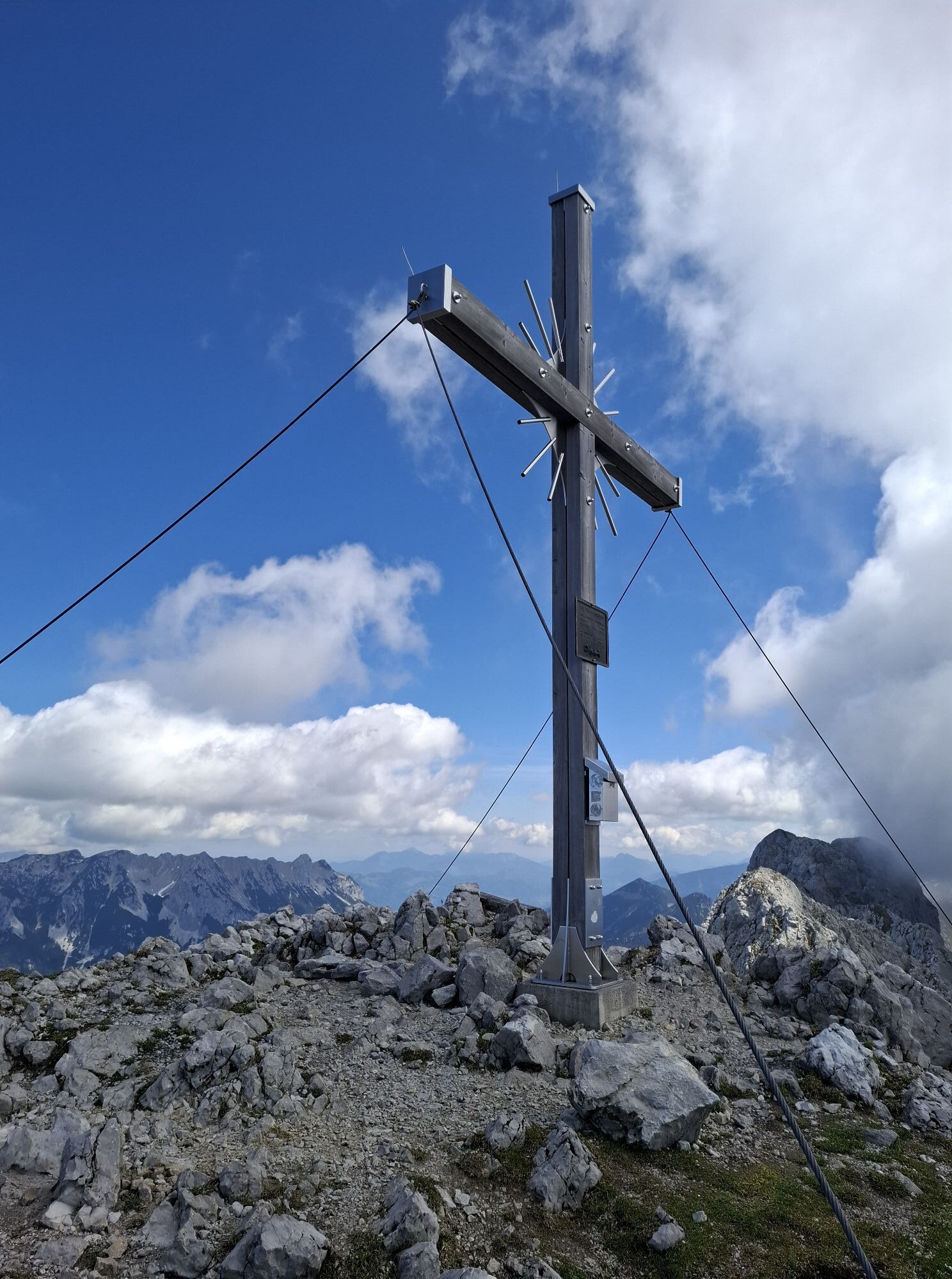
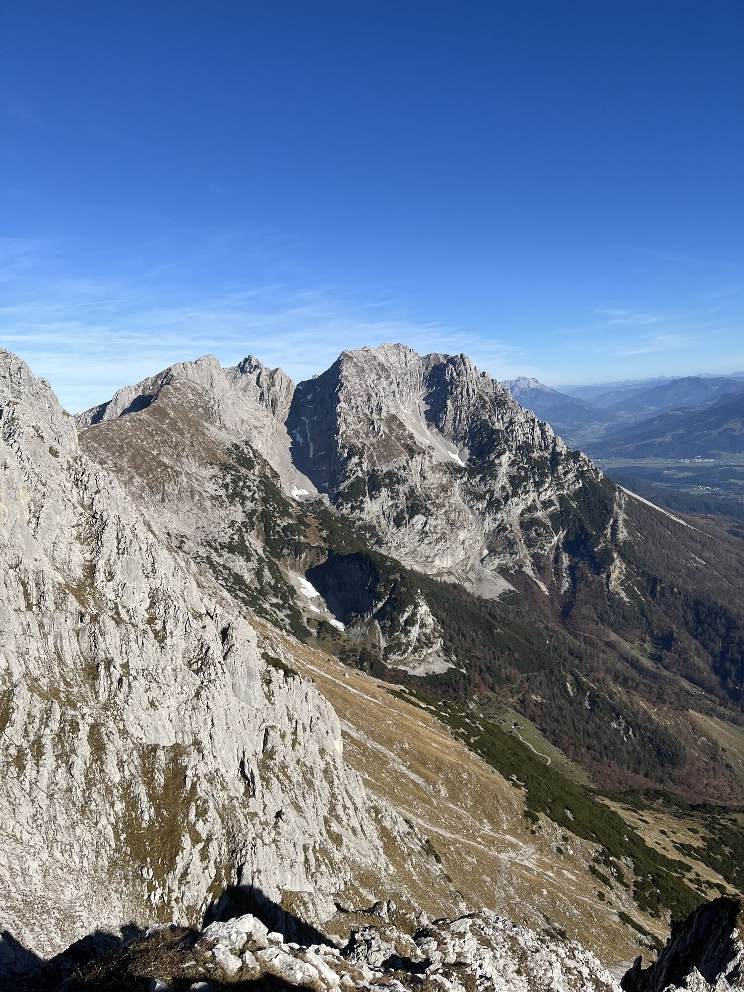
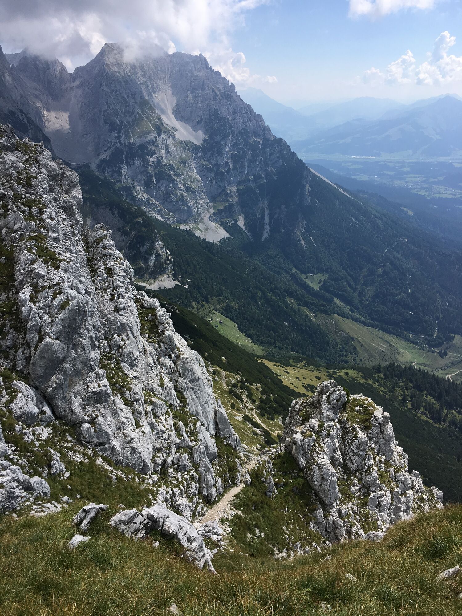
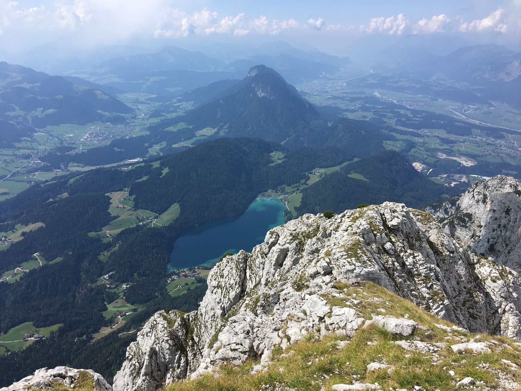
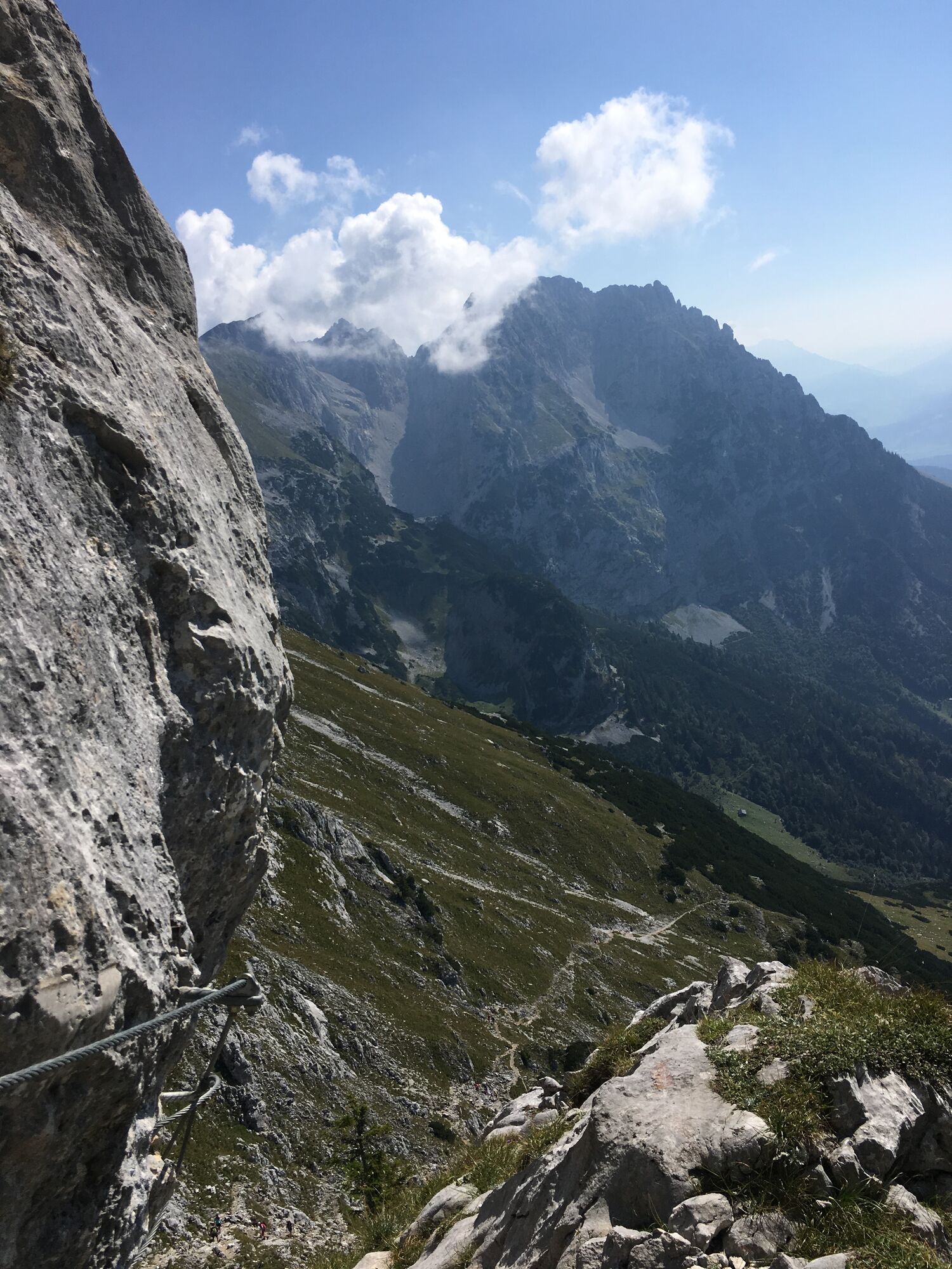
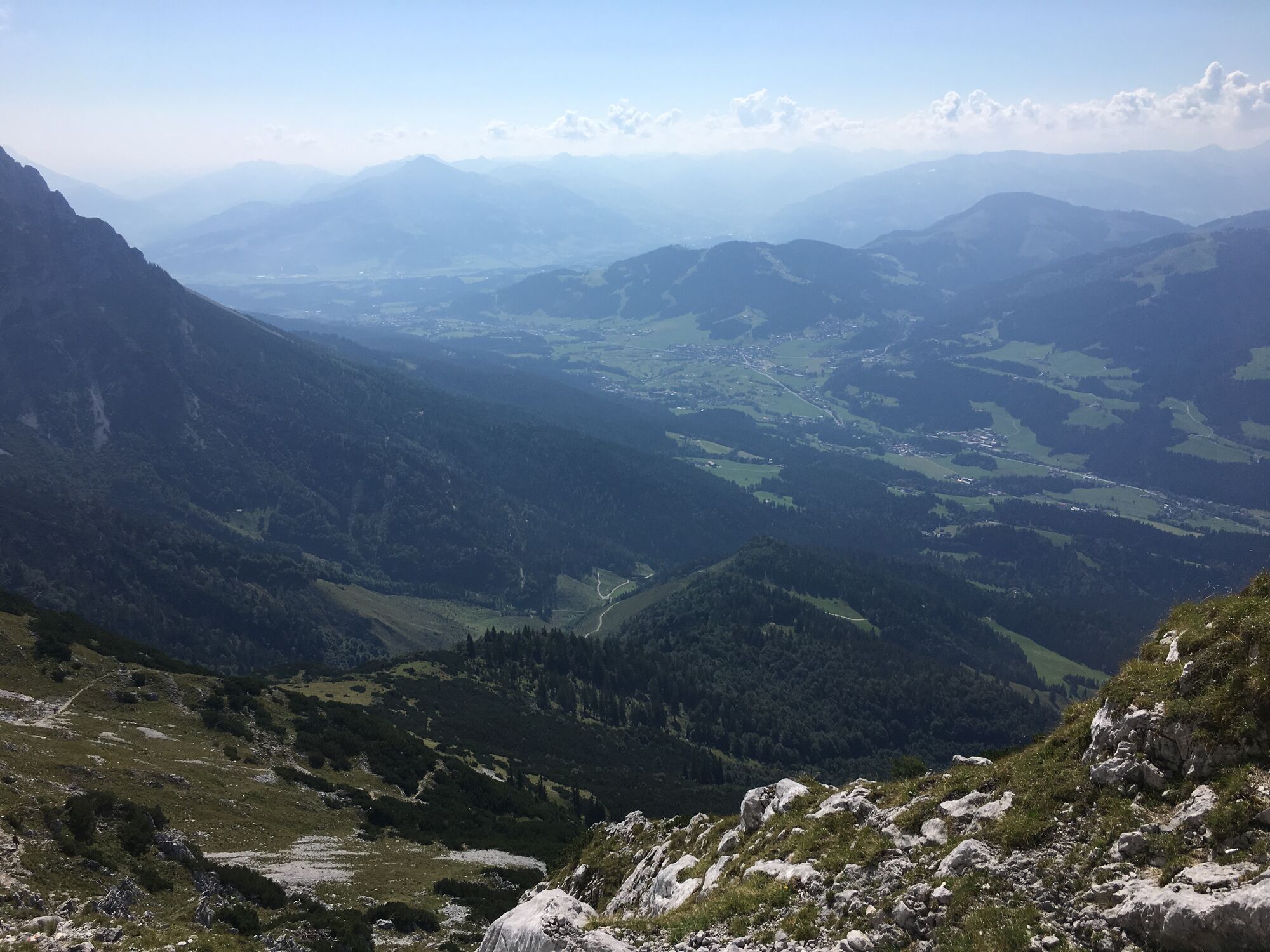
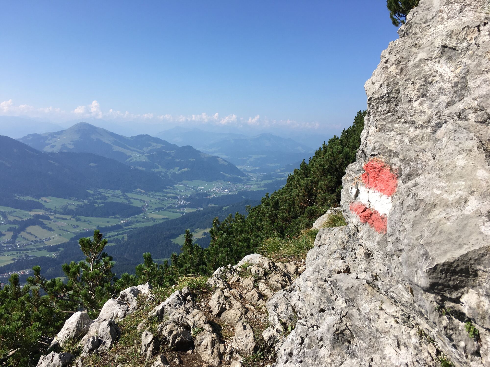
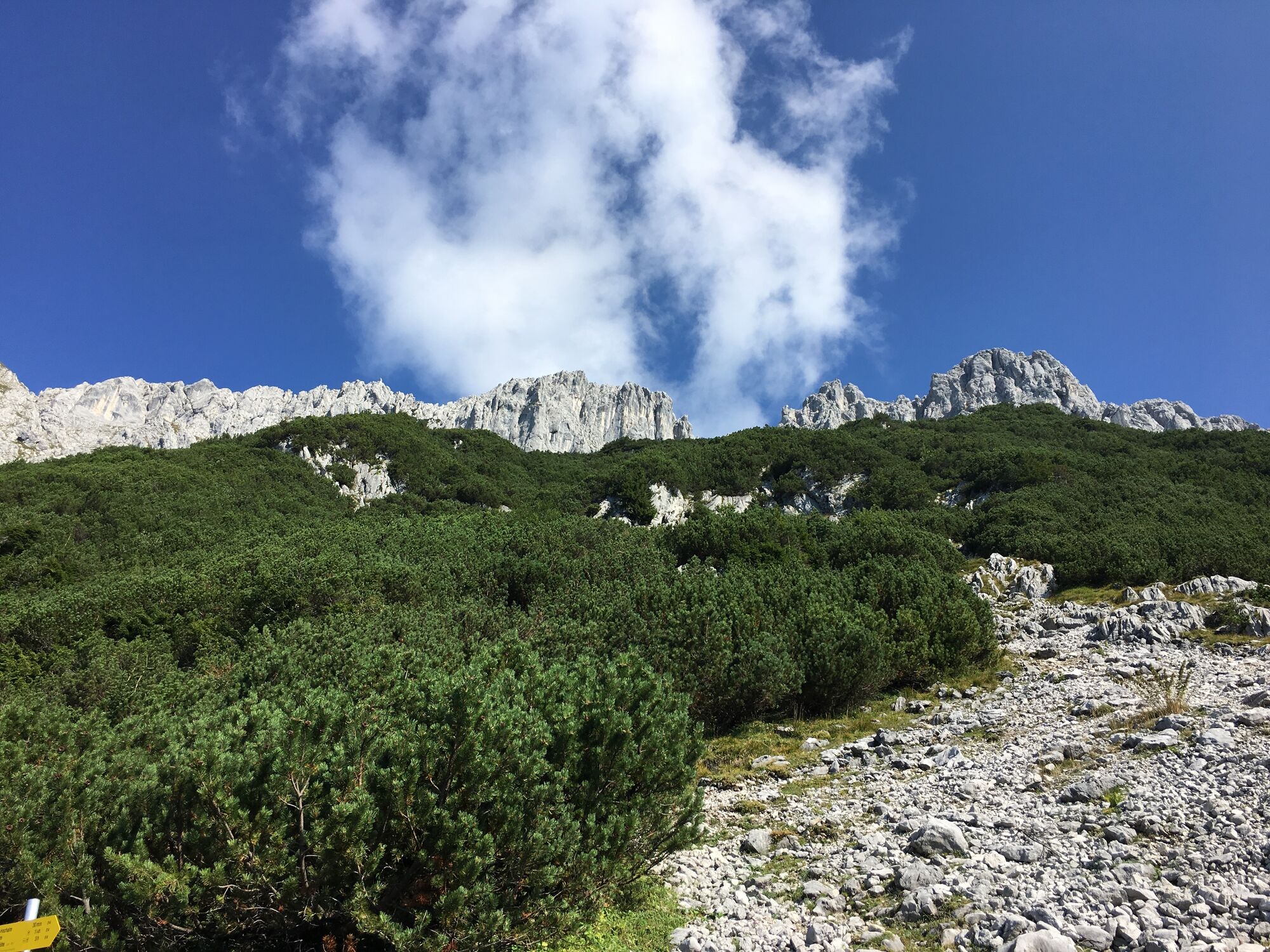
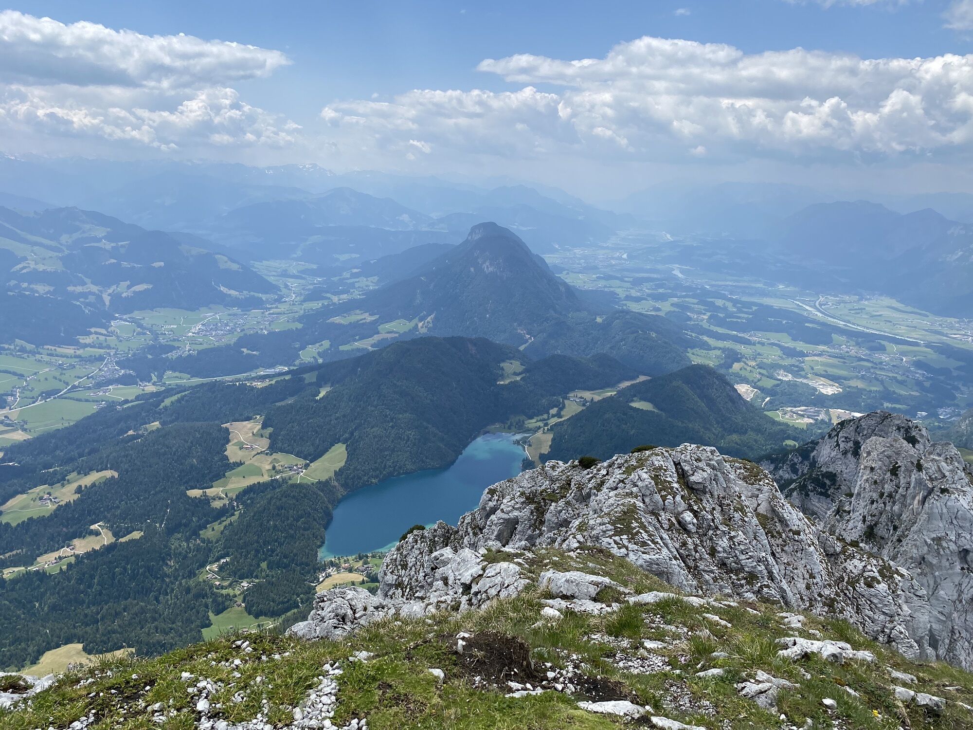
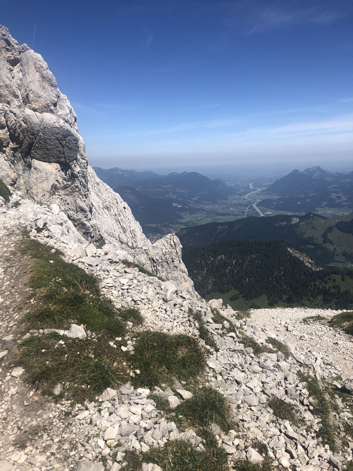
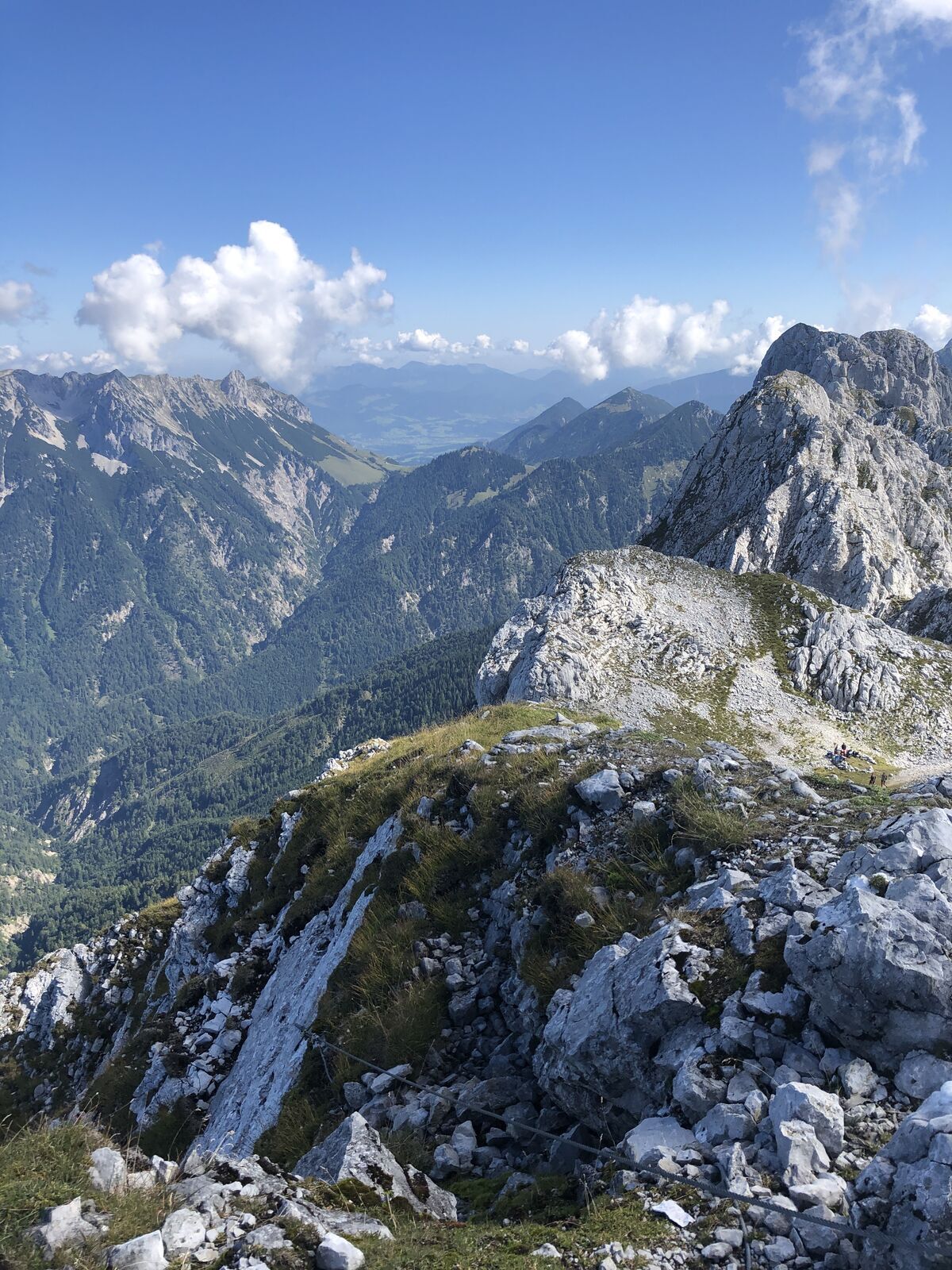
The terrain becomes more demanding as of this point, leading up through steep fields of mountain pine and steep rocky sections until you come to the ridge (the key part known as the “Wasserloch” is secured with steel ropes - ATTENTION: the ropes are not tensioned over the winter!). Continue west along the summit ridge for around 10 minutes via the “Kegelbahn” section to reach the summit with a magnificent view over the Inn Valley, the main Alpine ridge and far into the Bavarian region.
Descent:
as ascent
Variant:
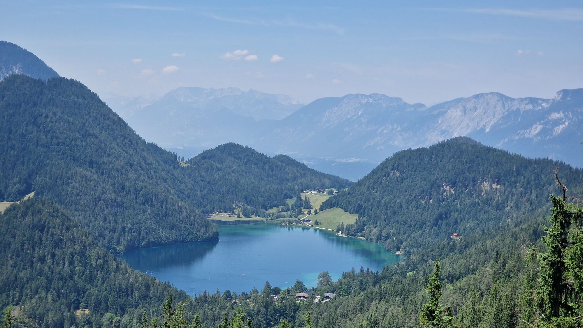
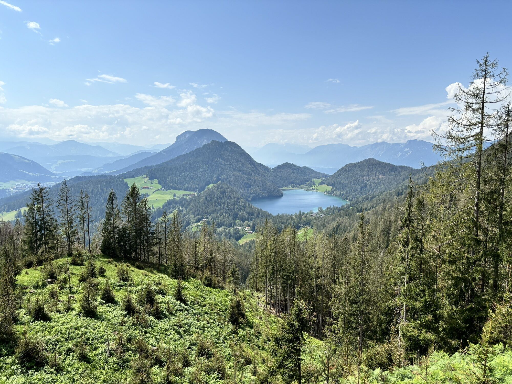
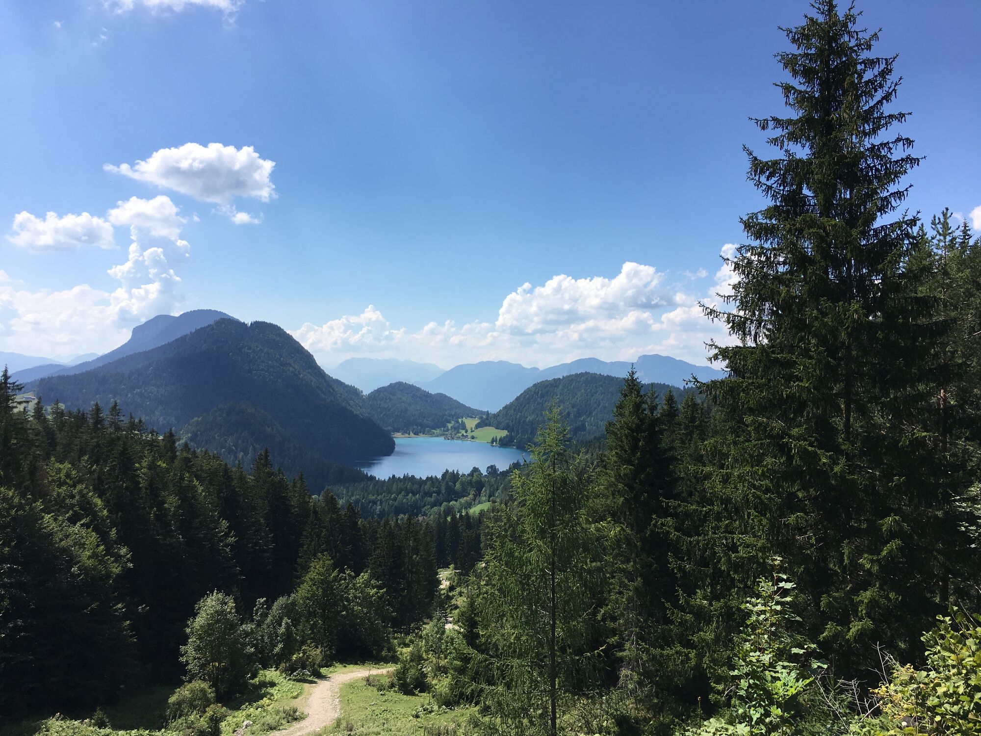
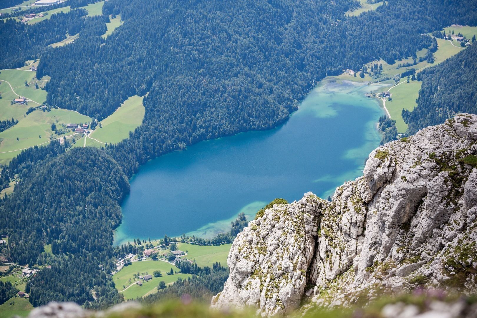
descent via the north side of the Scheffauer to the Kaindlhütte mountain hut, 1,318 m. This route takes you along the Widauersteig trail (largely secured with steel rope), which requires absolute surefootedness and a good head for heights. You should then continue via the Walleralm Alpine pasture, making a large bend around the Scheffauer to reach the Hintersteiner See lake before returning to the car park. This extends the tour by around 3 hours!
Prerequisite: No fear of heights and surefootedness are absolutely necessary! HELM (danger of falling rocks)
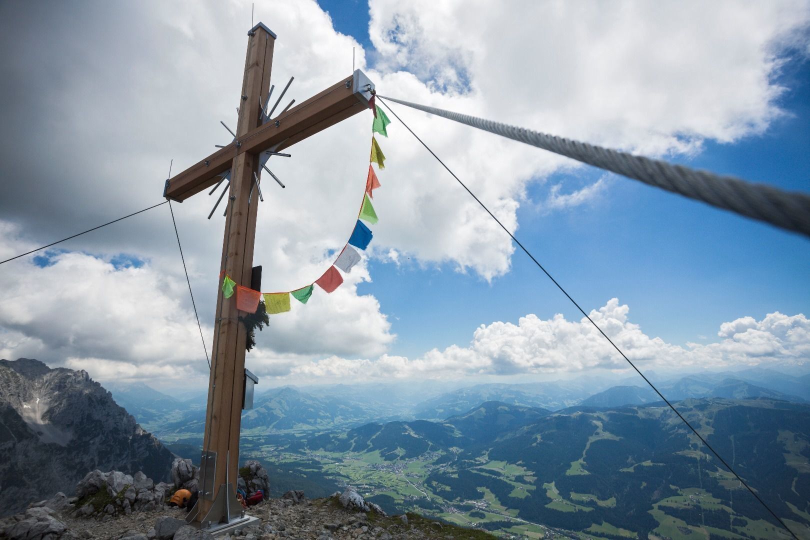
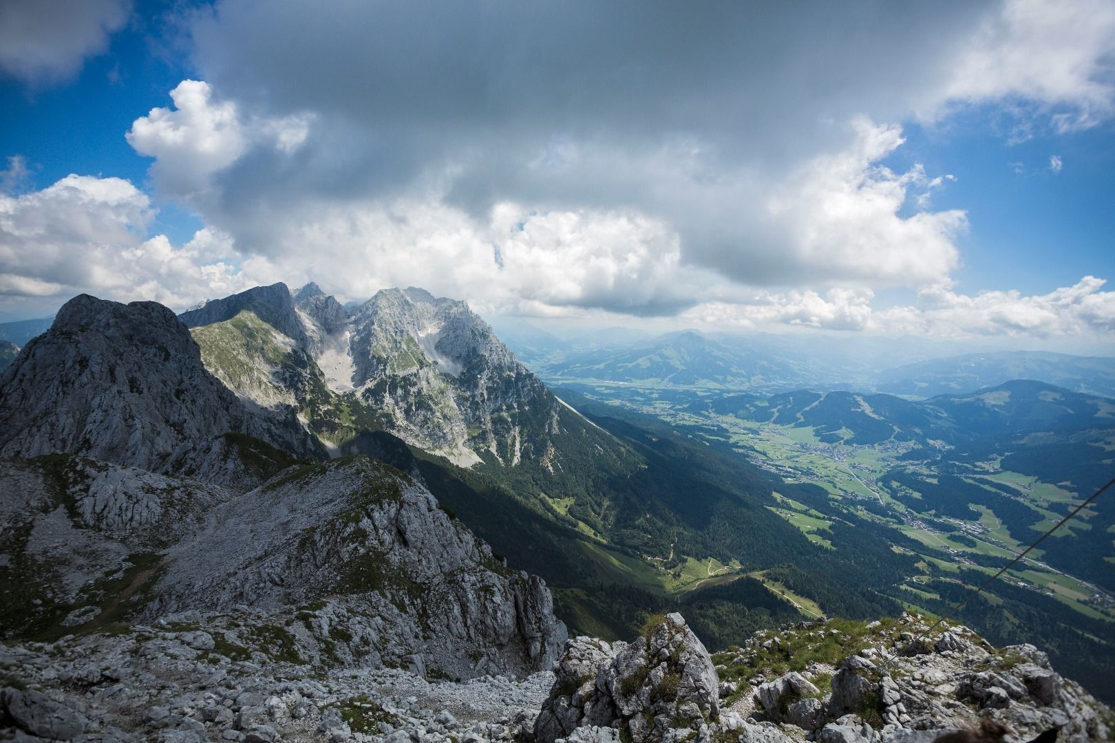
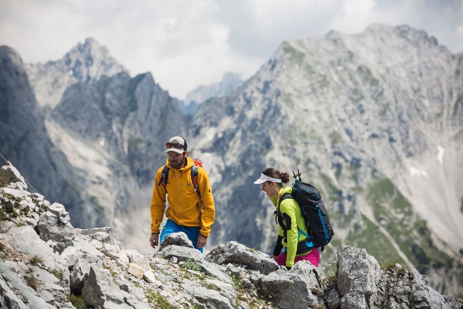
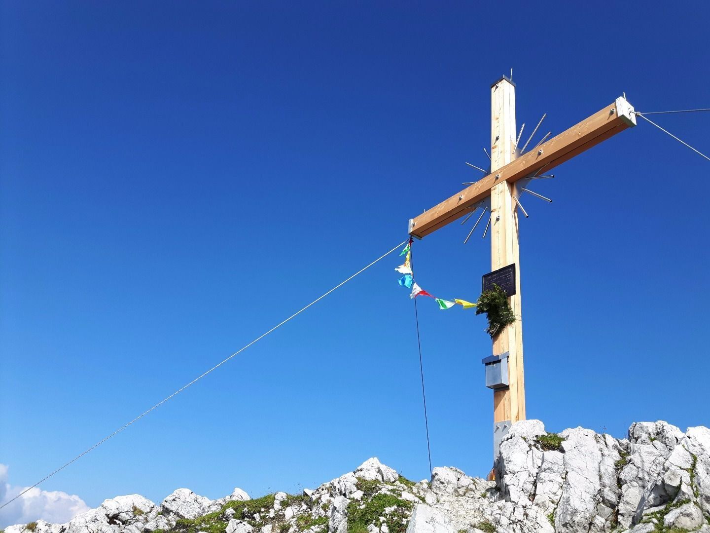

Depart from the hiking starting point by taking the forest road (barriers), always following the signs for “Steiner-Hochalm” or the “Scheffauer”. After a good half an hour of hiking, you will come to the Steiner-Hochalm mountain hut (1,257 m). You should then head uphill on the narrow path, passing through open meadows and then the thin deciduous forest before crossing the large field of scree until you reach the “Scheffauer” turnoff. The terrain becomes more demanding as of this point, leading up through steep fields of mountain pine and steep rocky sections until you come to the ridge (the key part known as the “Wasserloch” is secured with steel rope). Continue west along the summit ridge for around 10 minutes via the “Kegelbahn” section to reach the summit and its wonderful view.
Descent:
as ascent
Variant:
descent via the north side of the Scheffauer to the Kaindlhütte mountain hut, 1,318 m. This route takes you along the Widauersteig trail (largely secured with steel rope), which requires absolute surefootedness and a good head for heights. You should then continue via the Walleralm Alpine pasture, making a large bend around the Scheffauer to reach the Hintersteiner See lake before returning to the car park. This extends the tour by around 3 hours!
Wilder Kaiser hiking map (1: 25.000) available at the Tourist information offices Ellmau, Going, Scheffau and Söll.
Rucksack, sturdy hiking/mountaineering boots with anti-slip treaded soles, weather-appropriate hiking gear (breathable), a change of clothes, sun protection (sunglasses, sun cream, lip protection, headgear), waterproofs (rain jacket/poncho, pocket umbrella, rucksack protector), cold protection (hat, gloves), sufficient food and drink, hiking poles (height adjustable) if required, first aid kit incl. rescue blanket and bivouac sack, mobile phone with fully charged battery, headlamp, plastic bag for waste, hiking map, route description and information materials (GPX track), ID, insurance card, cash; helmet
Heading from Wörgl, Kufstein or St. Johann on the B178 road, take the exit to Scheffau and drive through the village as you continue in the direction of the Hintersteiner See. You will reach the hiking starting point immediately after St. Leonhard Kapelle chapel on the right-hand side (diagonally opposite the Gasthaus Bärnstatt inn).
More information at: www.wilderkaiser.info
Car park at Bärnstatt hiking starting point, Scheffau (920 m) – pay & display
Activités le long du parcours
-

Scheffauer
27.06.2026 – Randonnée en montagne -

Scheffau am Wilden Kaiser, Tirol/Österreich
25.06.2026 – Randonnée -

Scheffau am Wilden Kaiser, Tirol/Österreich
25.06.2026 – Randonnée en montagne -

Scheffau am Wilden Kaiser, Tirol/Österreich
04.06.2026 – Randonnée en montagne -

Scheffau am Wilden Kaiser, Tirol/Österreich
03.05.2026 – Ski de randonnée
Parcours populaires à proximité
-
4,9
Schleierwasserfall Runde
moyenRandonnée 5,63 km -
4,8
Gruttenhütte über Klammlweg
moyenRandonnée 5,61 km -
4,8
Ellmauer Tor (22.07.2020)
moyenRandonnée 9,32 km -
5,0
Stripsenjoch Klettersteige/ Rundwanderung von Griesener Alm über Stripsenjochhaus und Feldberg
moyenVia ferrata 10,2 km -
4,7
Musikantensteig zur Naunspitze
moyenRandonnée 8,96 km -
4,6
Hintersteinersee
moyenRandonnée 9,87 km -
4,9
Kirchdorf: Kaiserbachtal - Stripsenkopf und Feldberg
difficileRandonnée 12,6 km -
4,5
Über Hintersteinersee und Walleralm aufs Hochegg
facileRandonnée 12,2 km -
5,0
Kirchdorf: Stripsenjoch Klettersteige
difficileVia ferrata 3,76 km -
4,5
Wanderung um den Hintersteinersee
facileRandonnée 5,29 km
Randonnée et suivi


Ne manquez pas les offres et l'inspiration pour vos prochaines vacances
Votre adresse électronique a été ajouté à la liste de diffusion.





