






Peitlerkofel hiking circuit
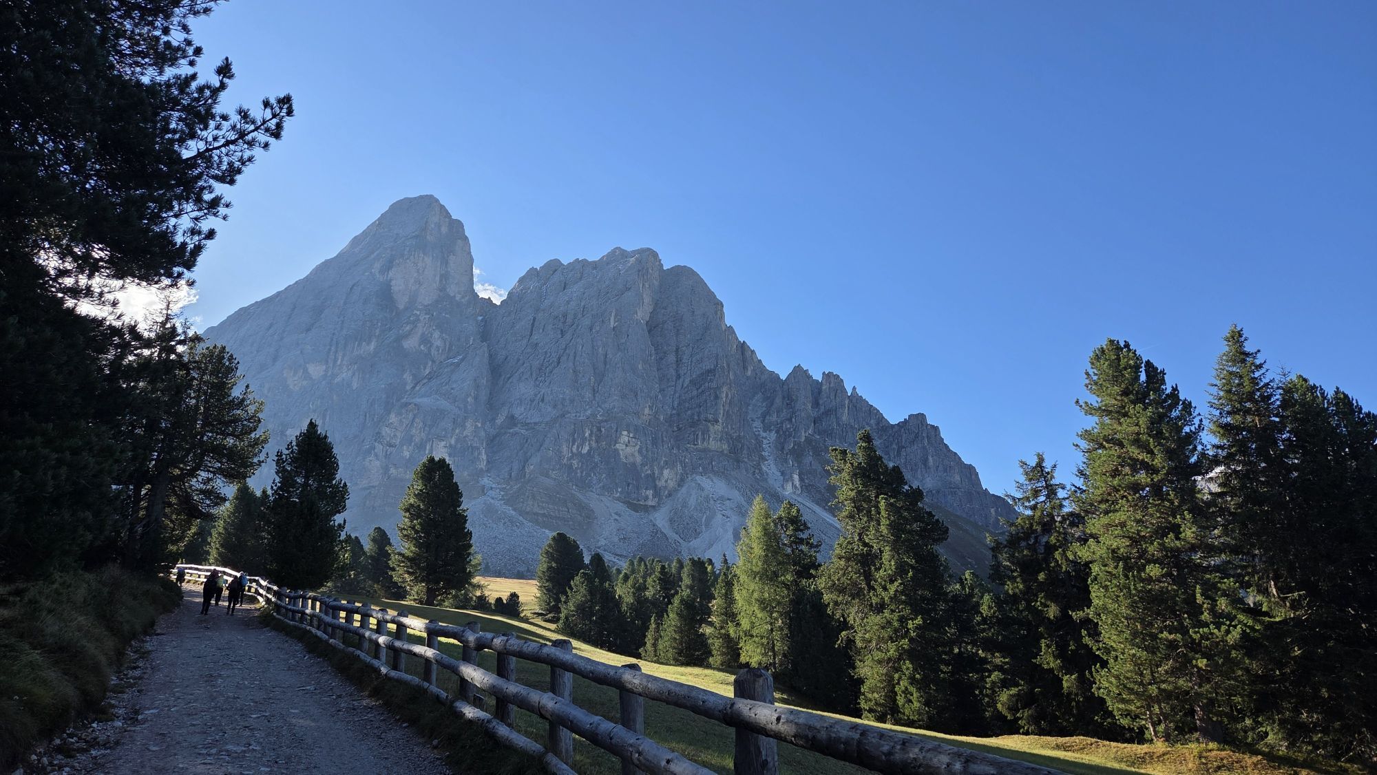
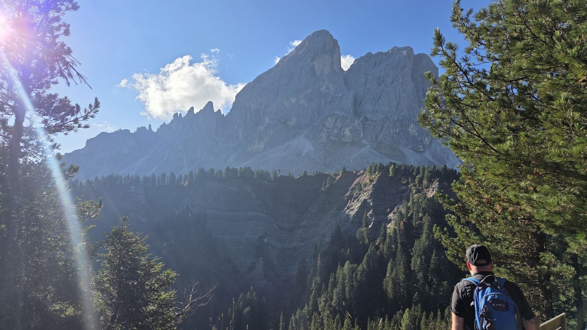
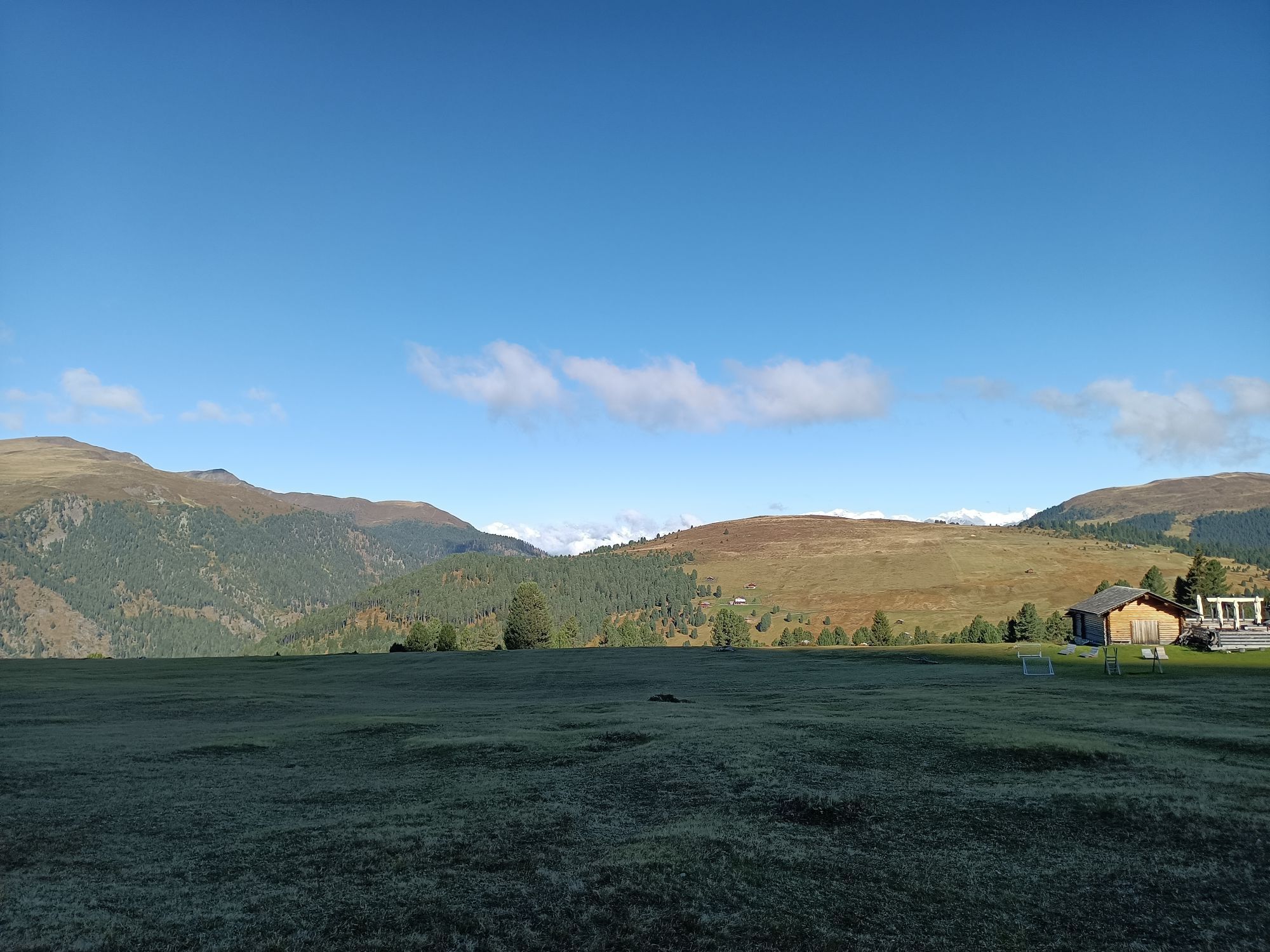
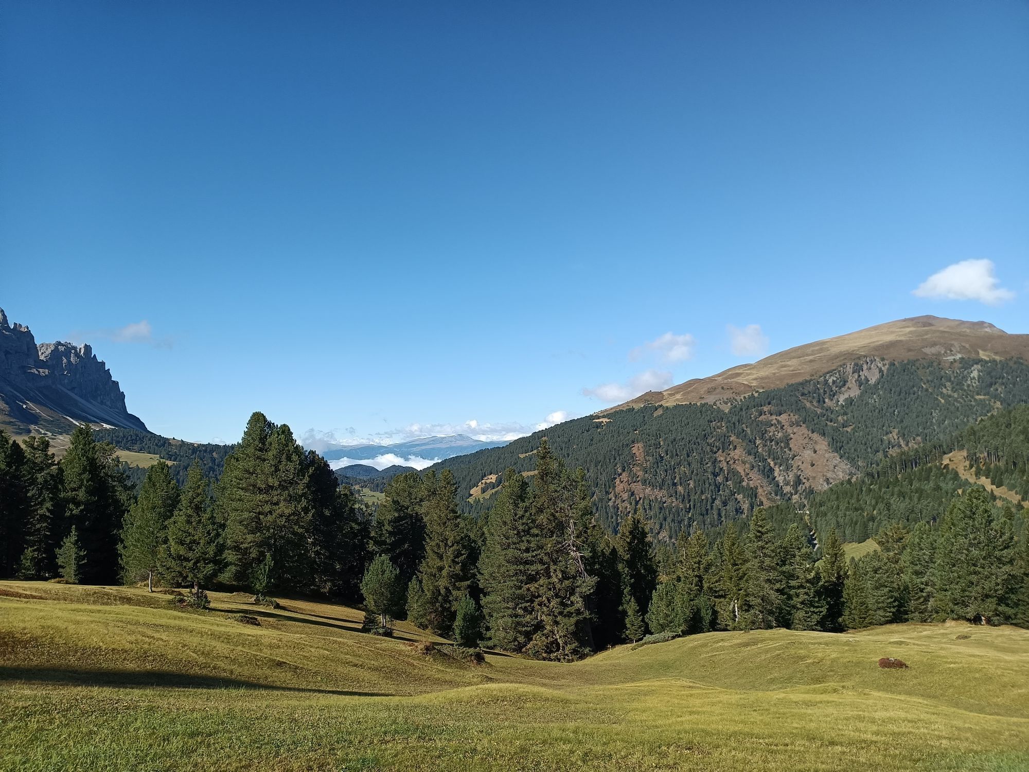
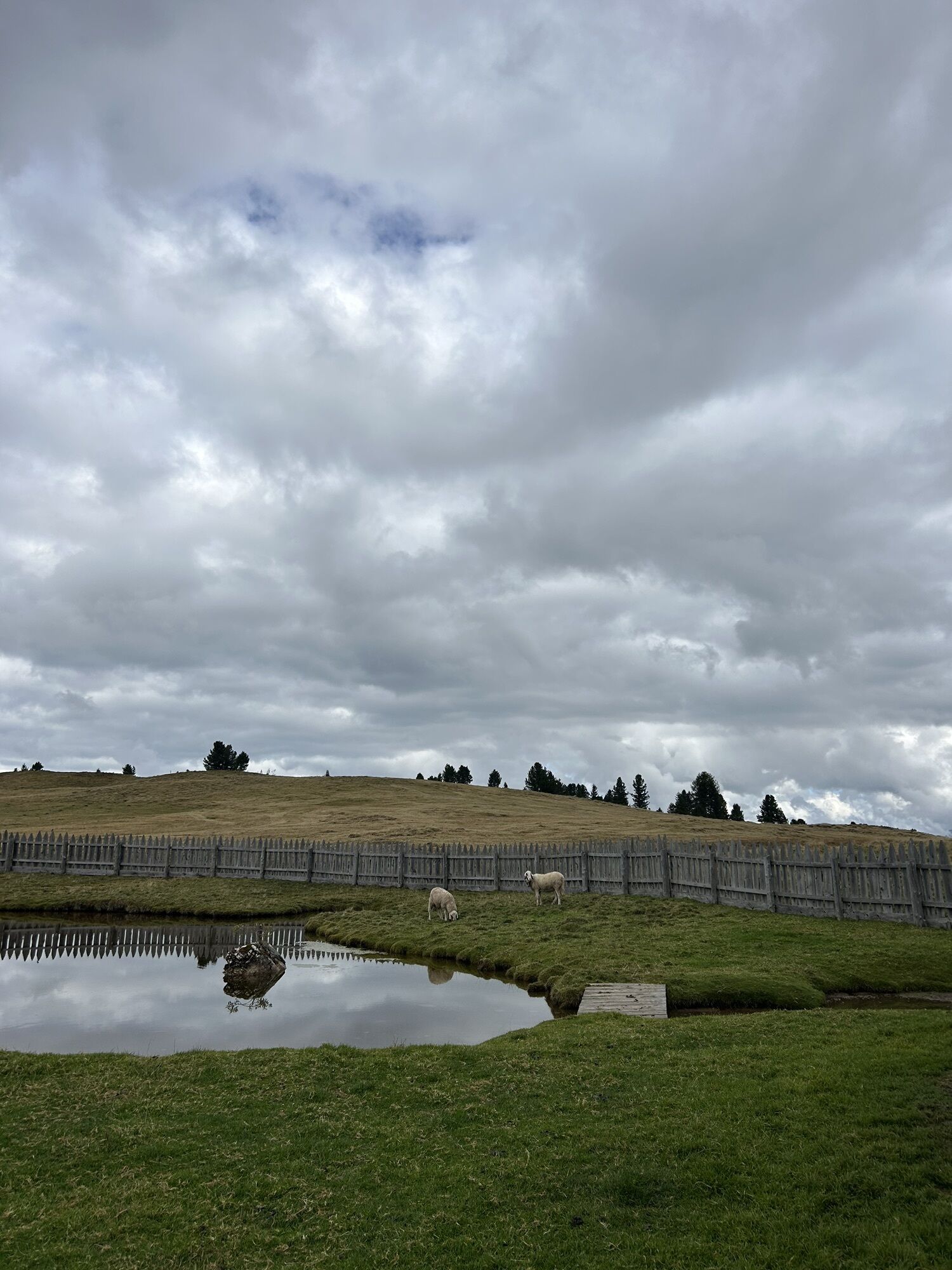
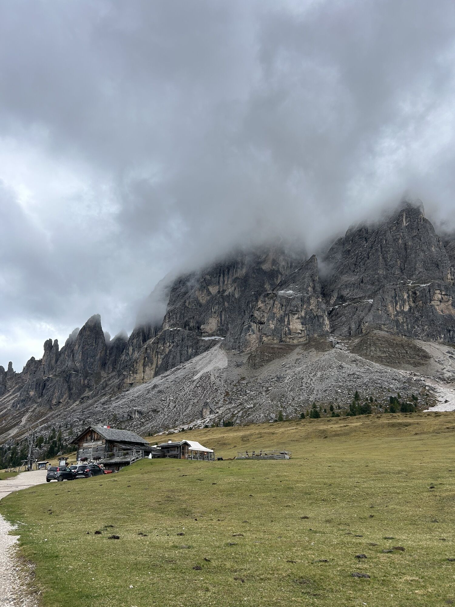
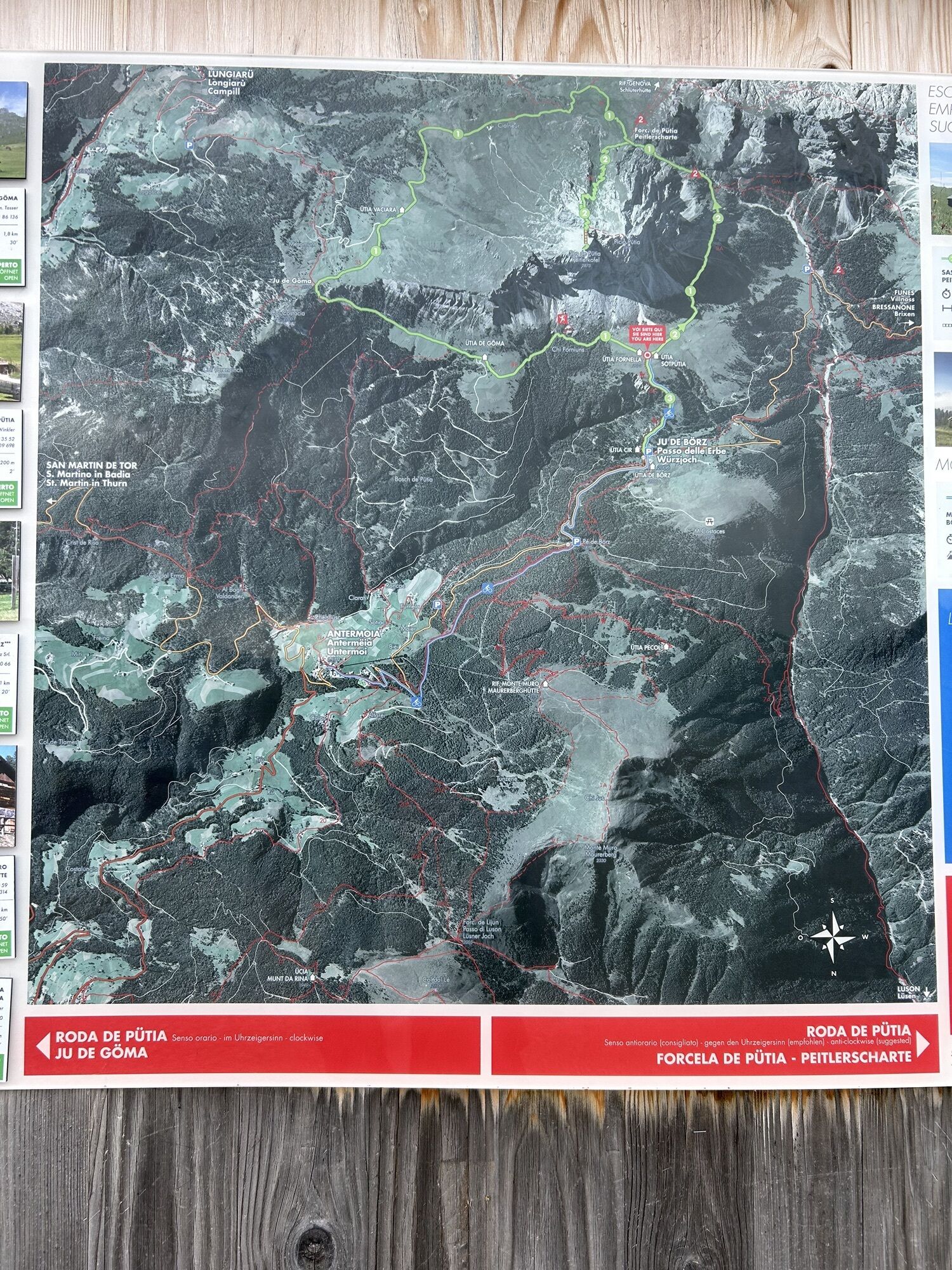
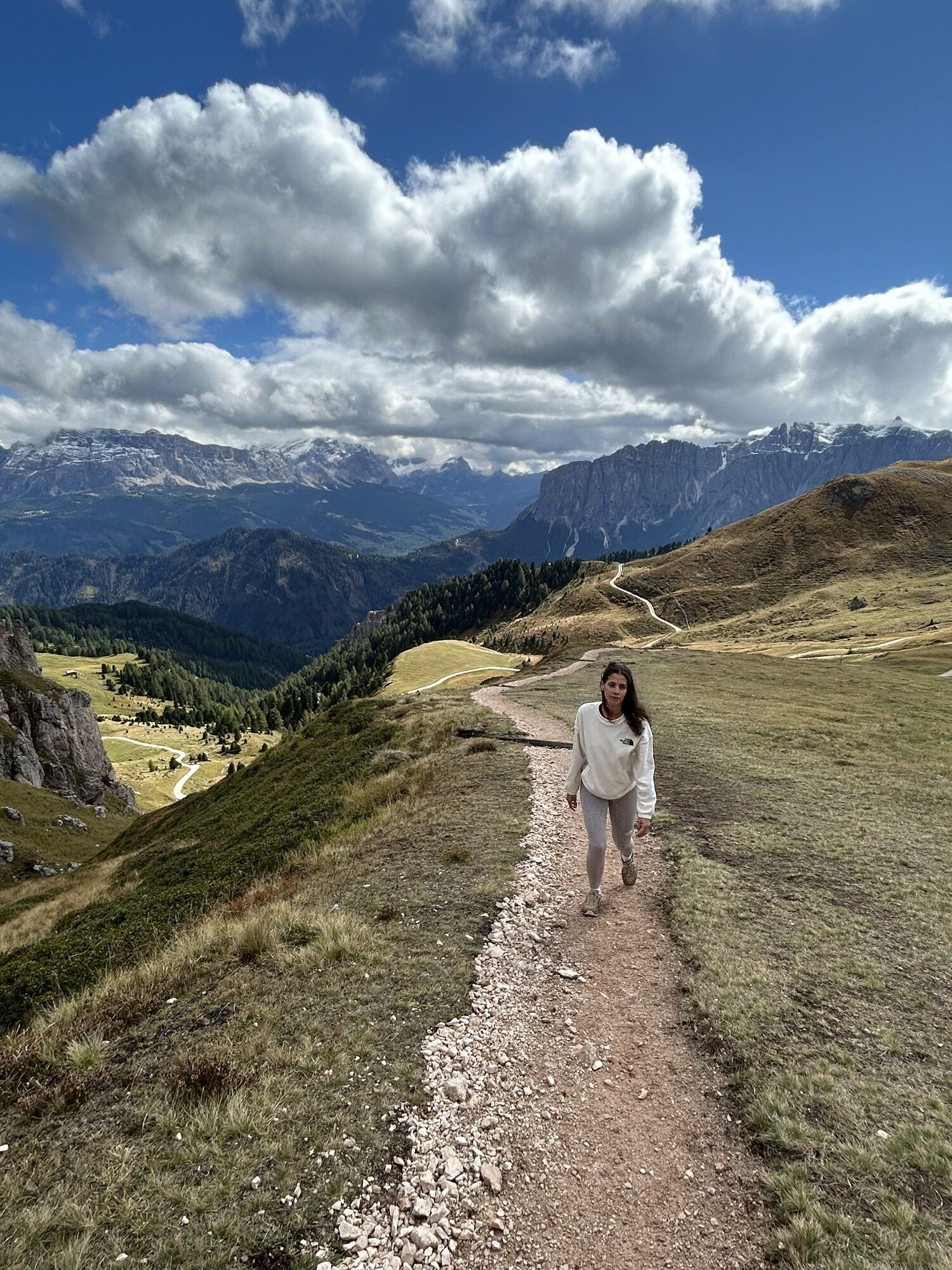
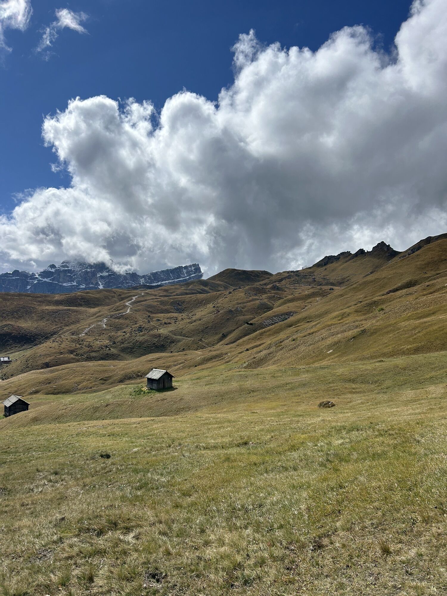
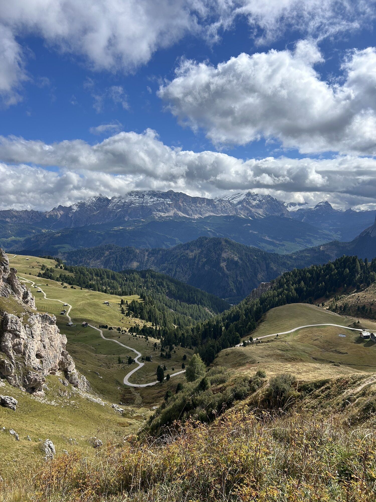
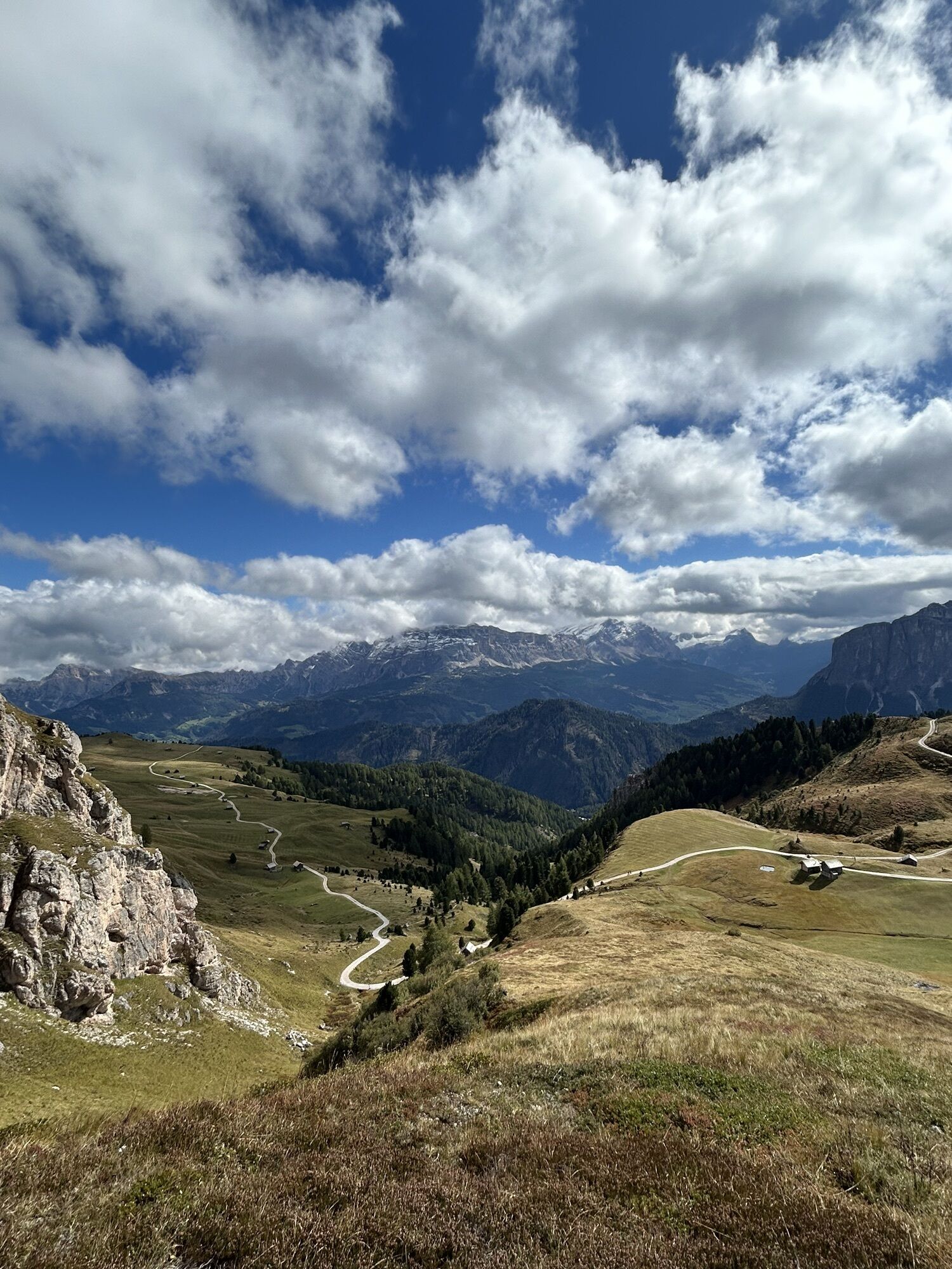
From the parking area at the Würzjoch (1,987 m), take the wide forest trail no. 8/A moderately uphill in a southerly direction to the meadows at the foot of the Peitlerkofel. At the road fork near Munt...
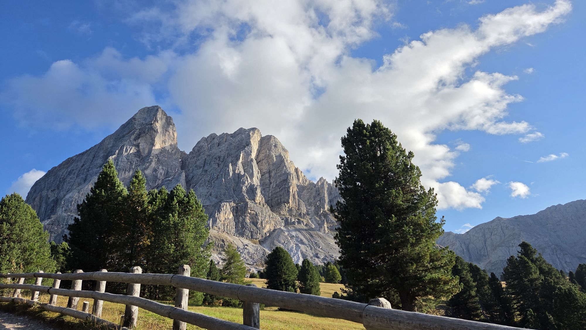
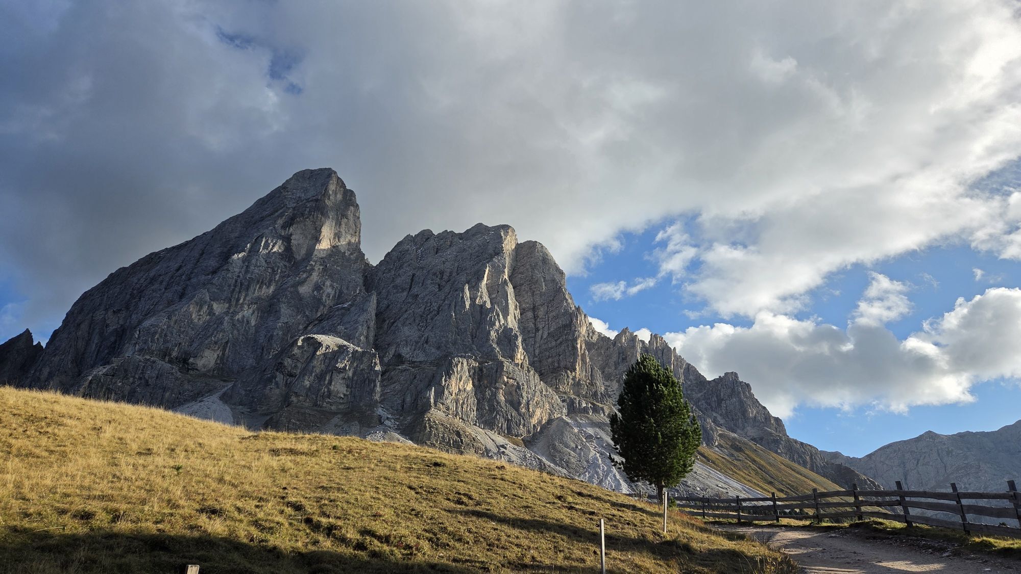
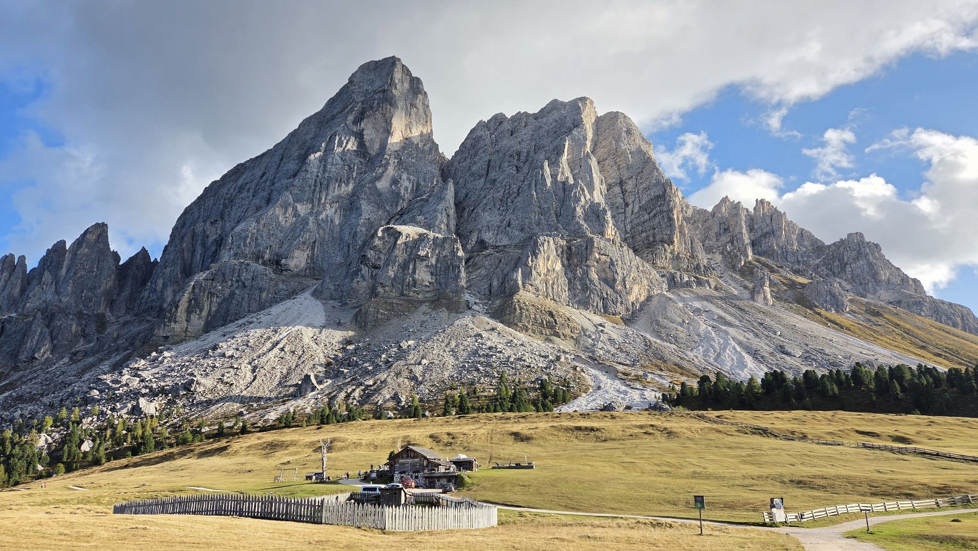
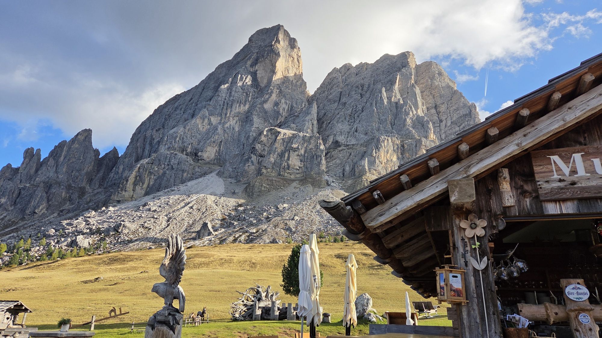
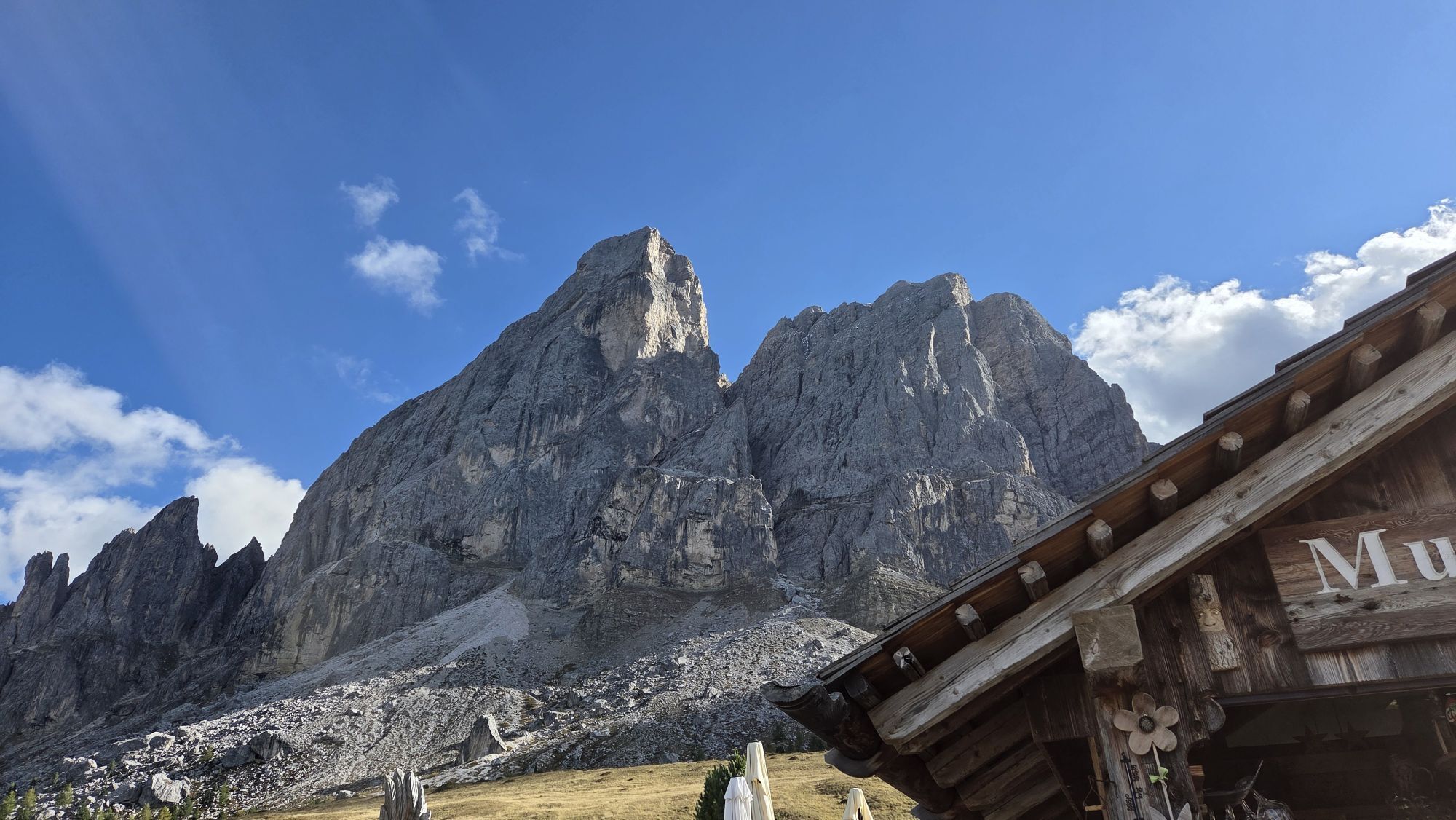
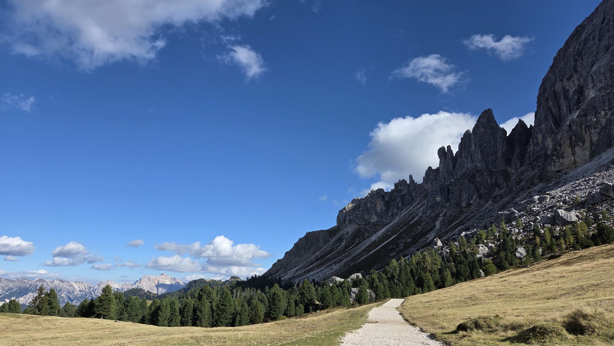
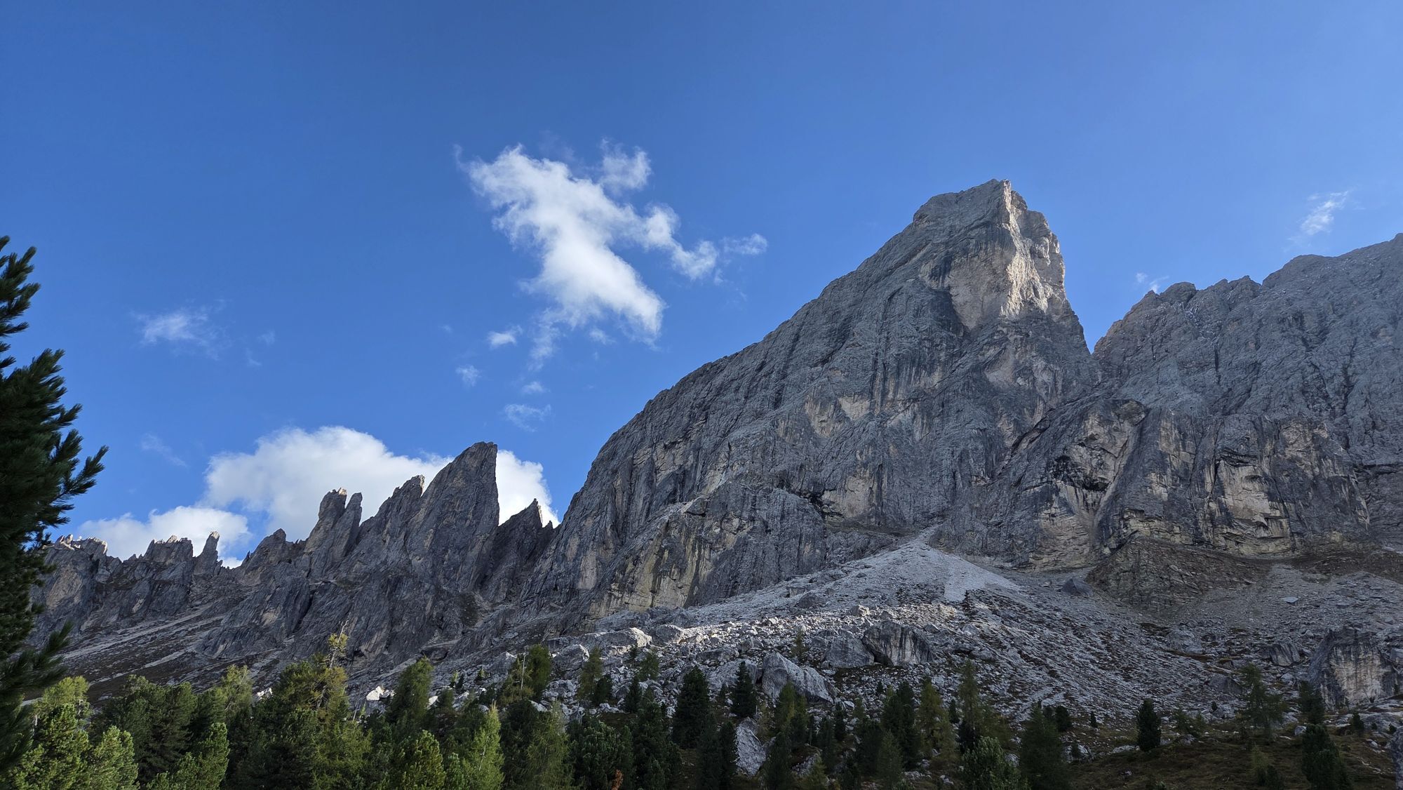
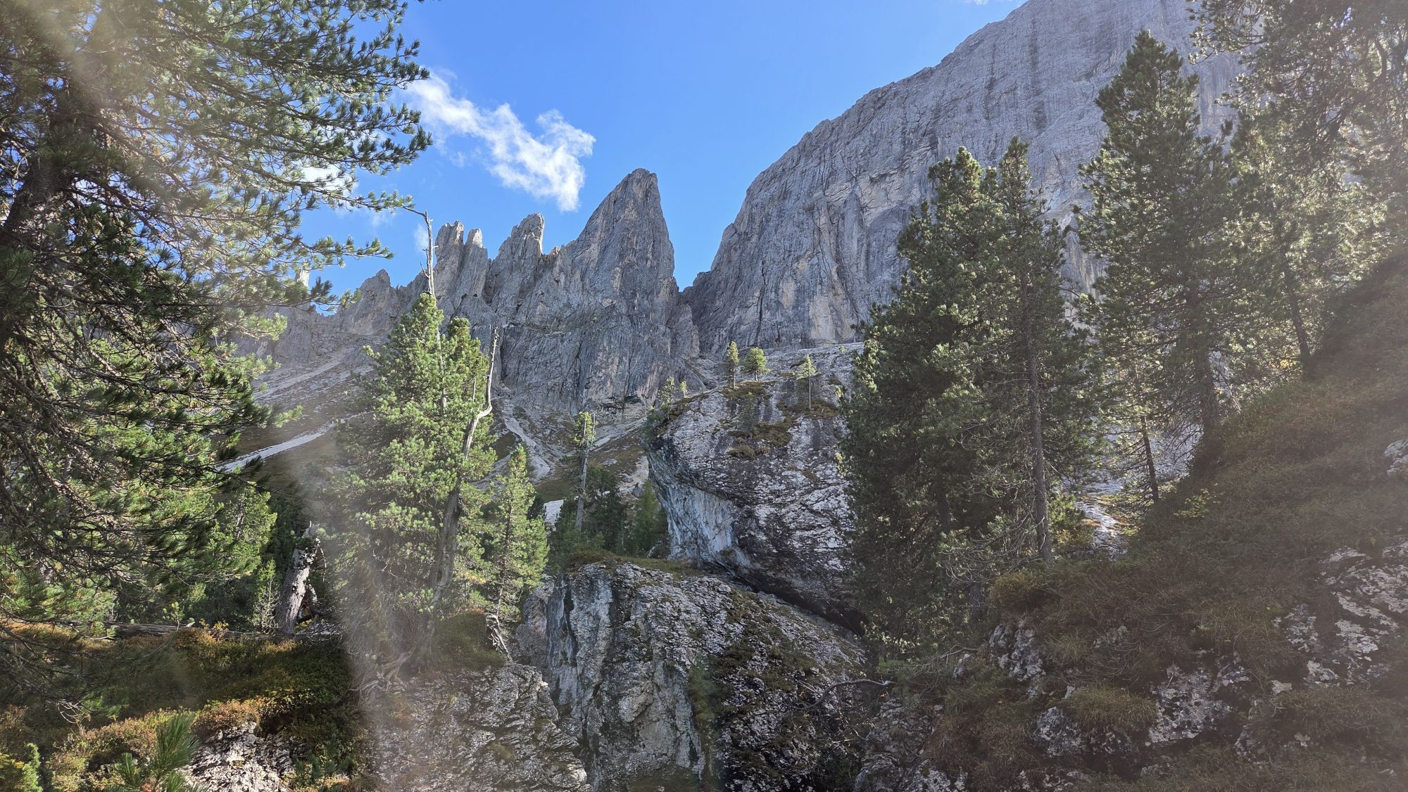
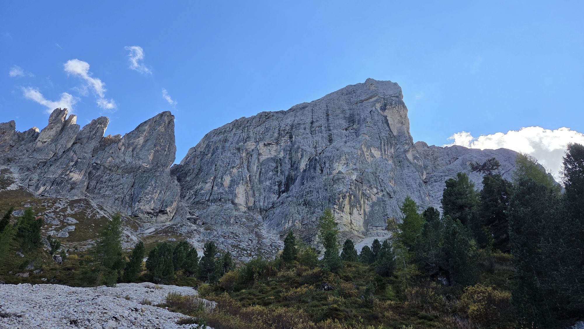
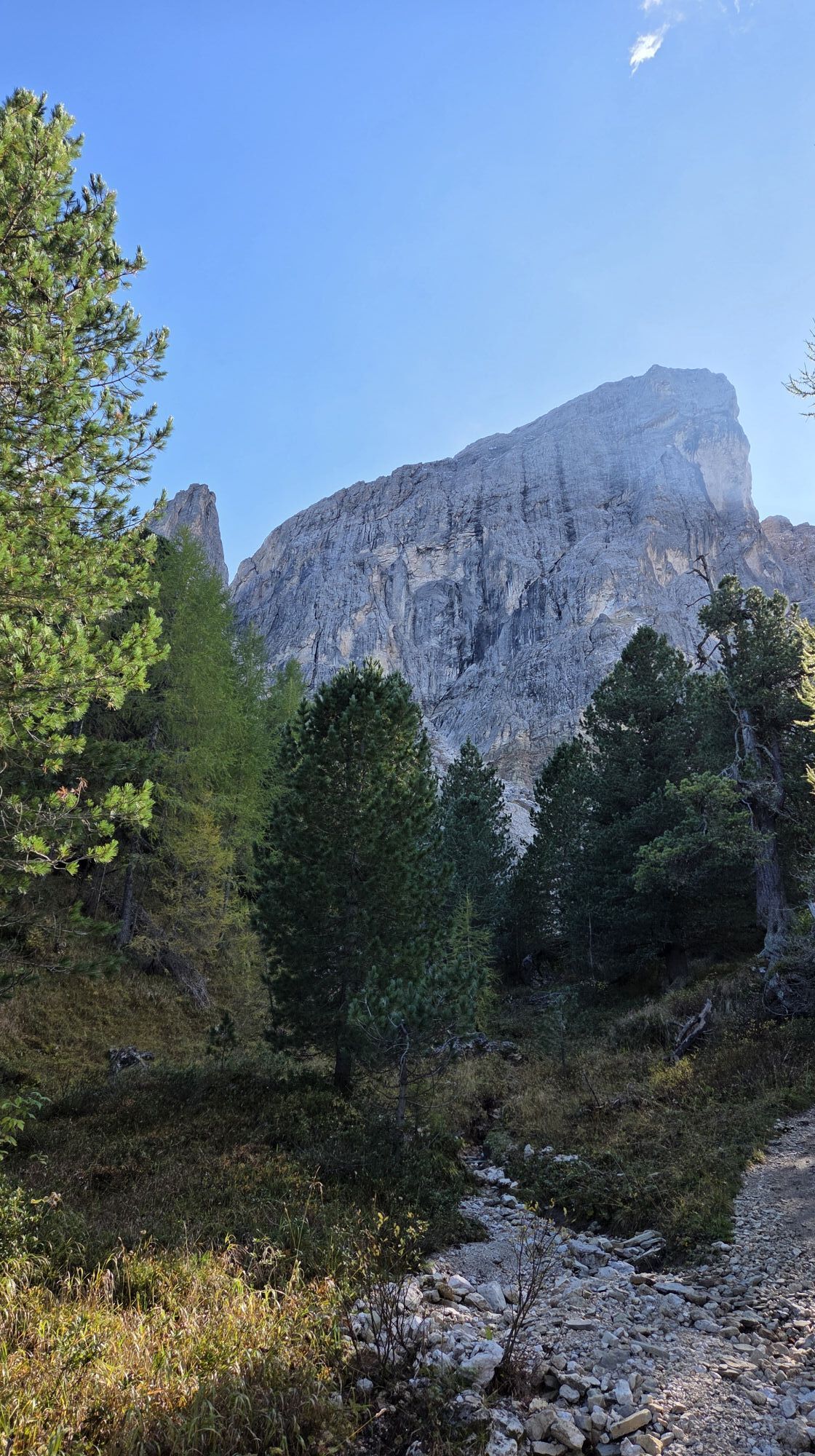
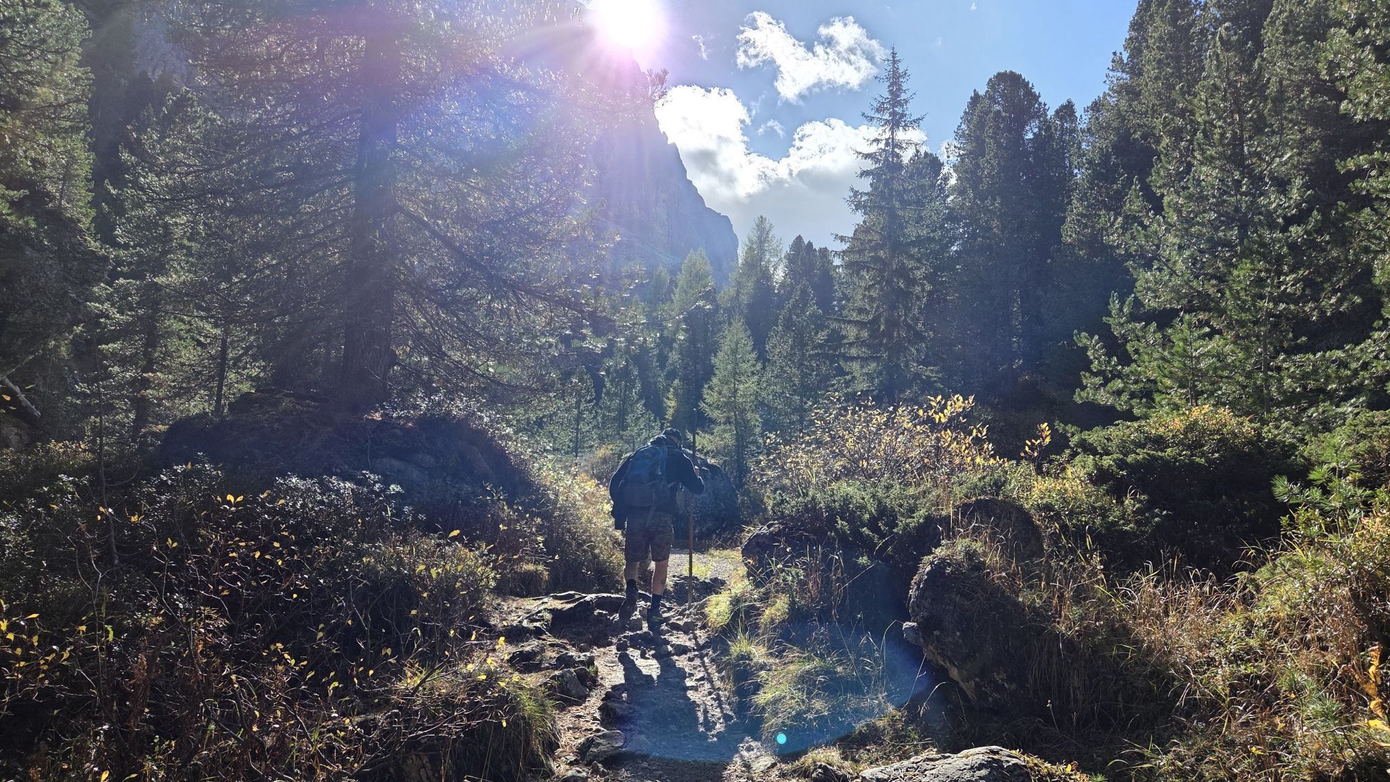
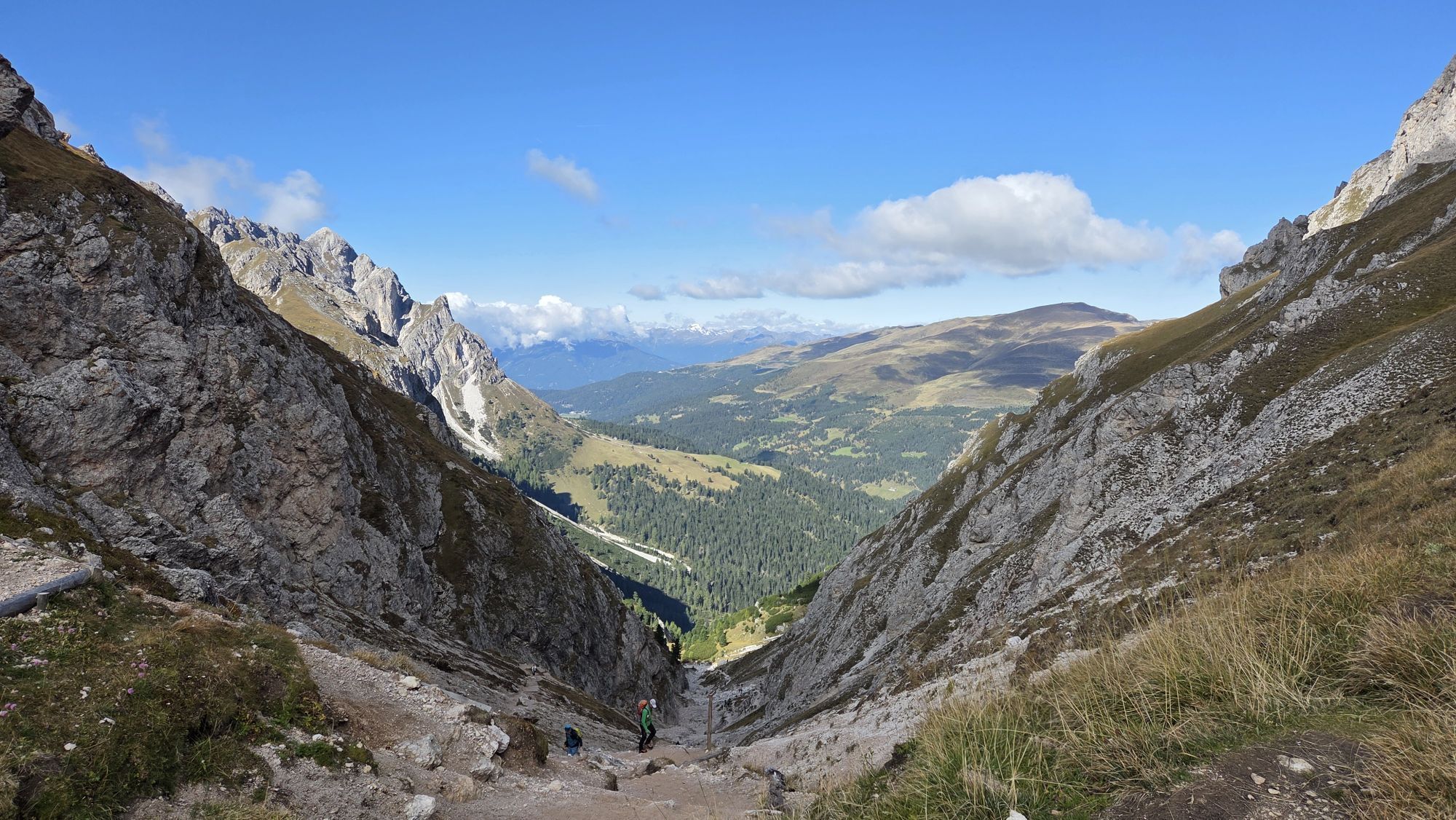
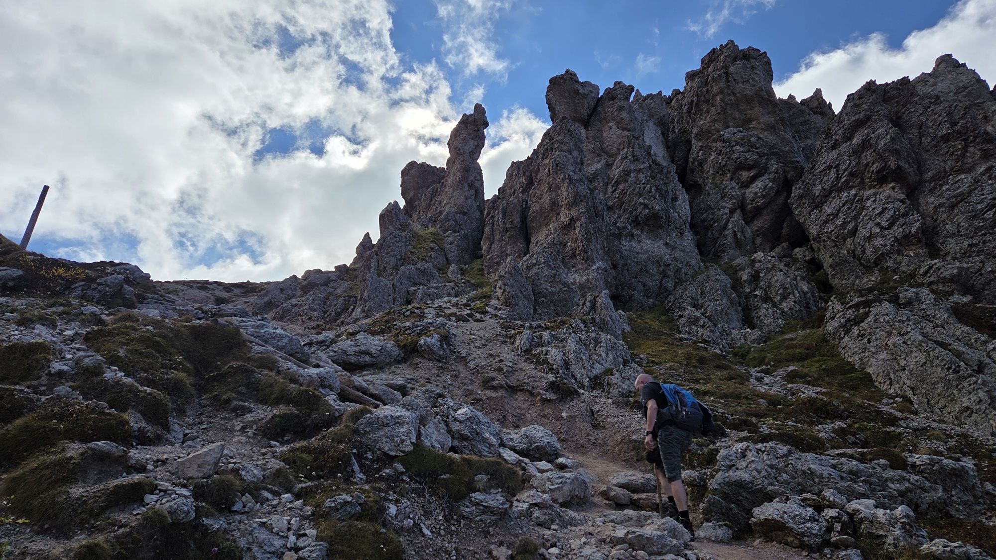
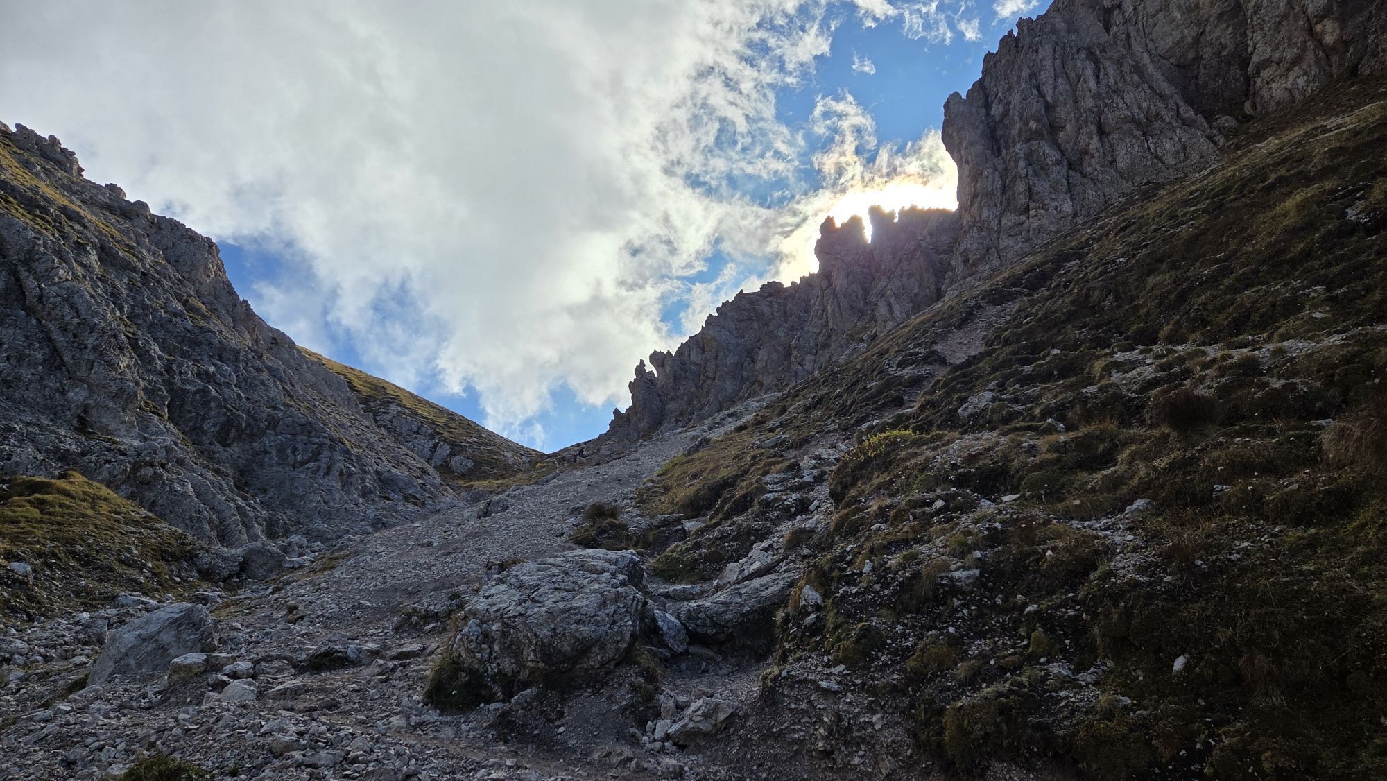
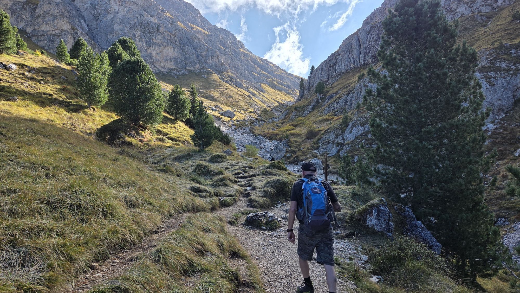
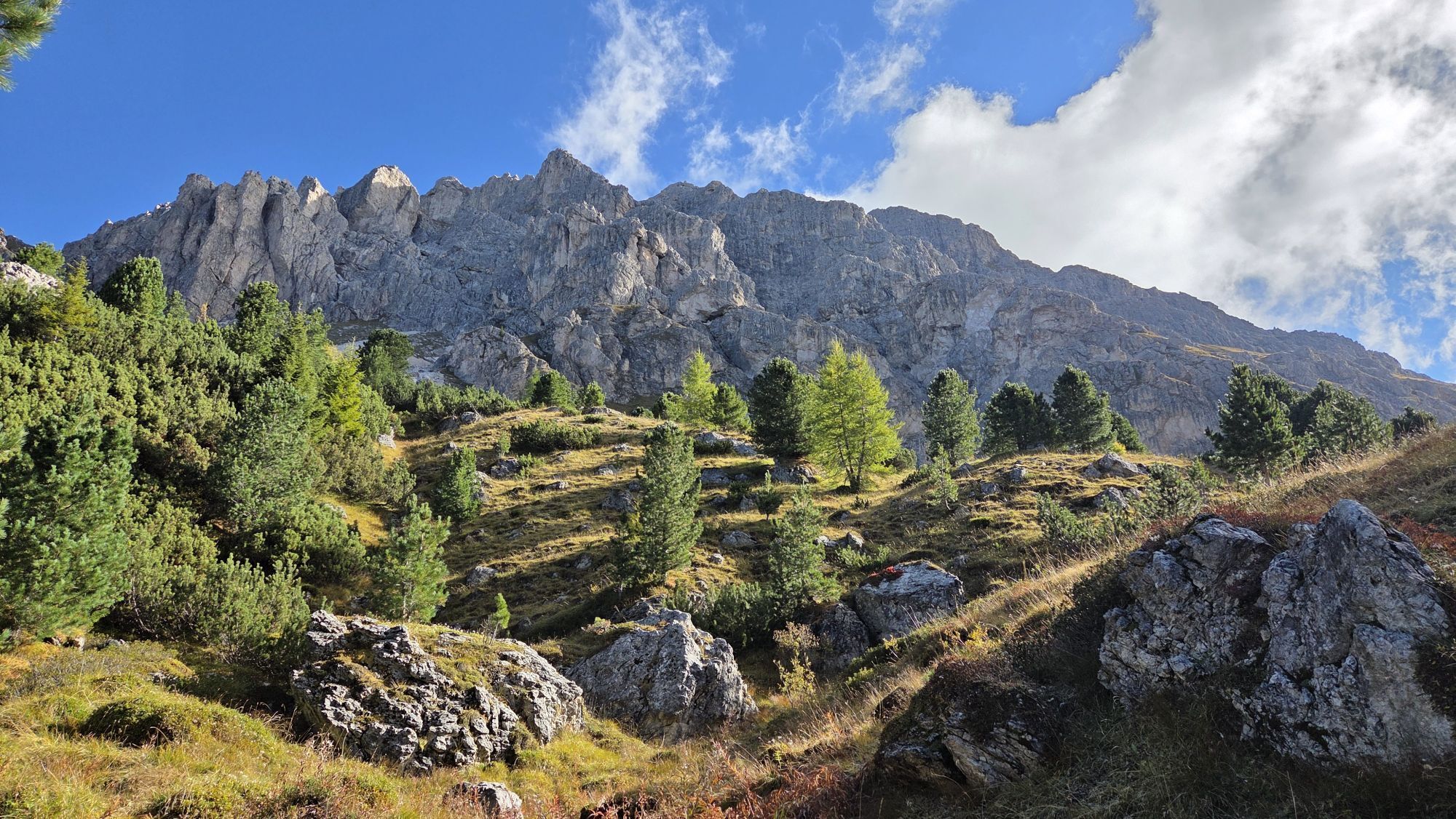
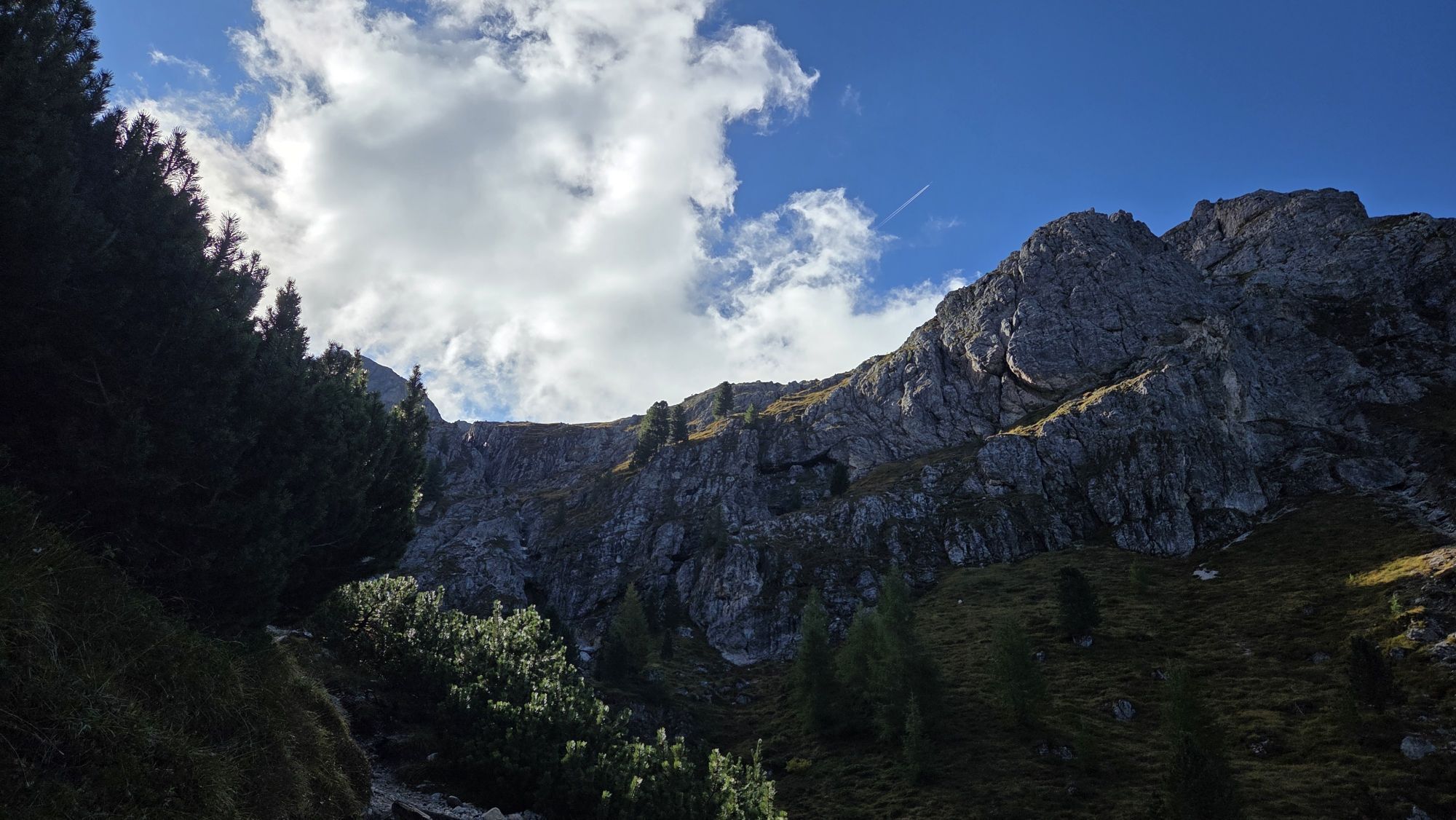
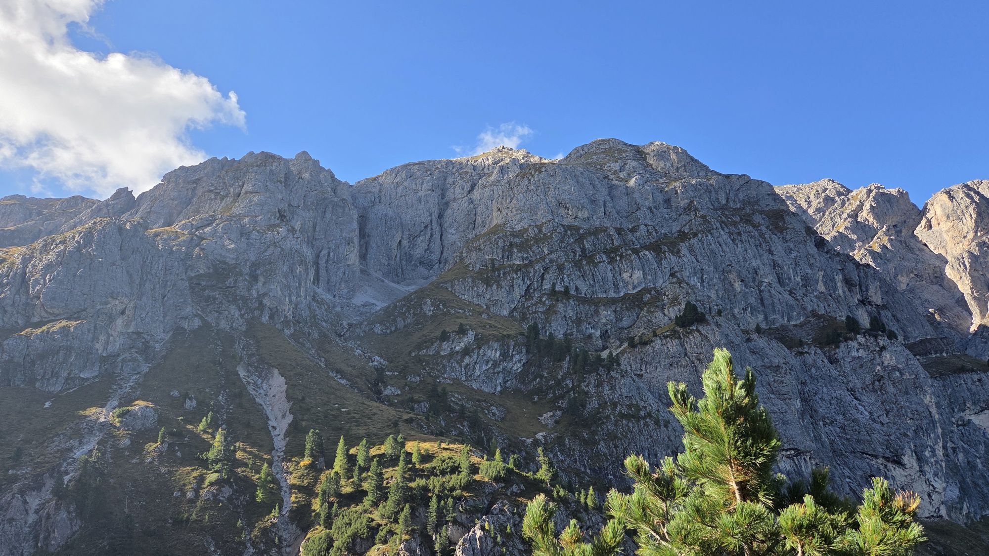
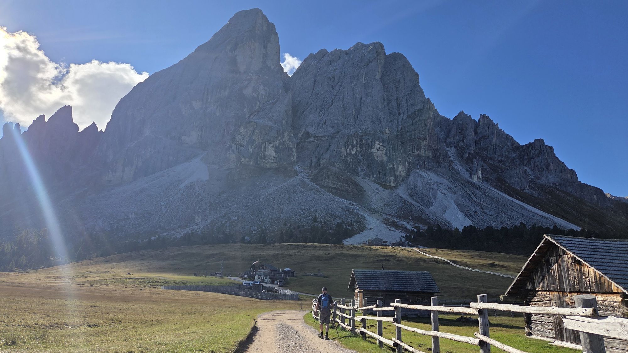
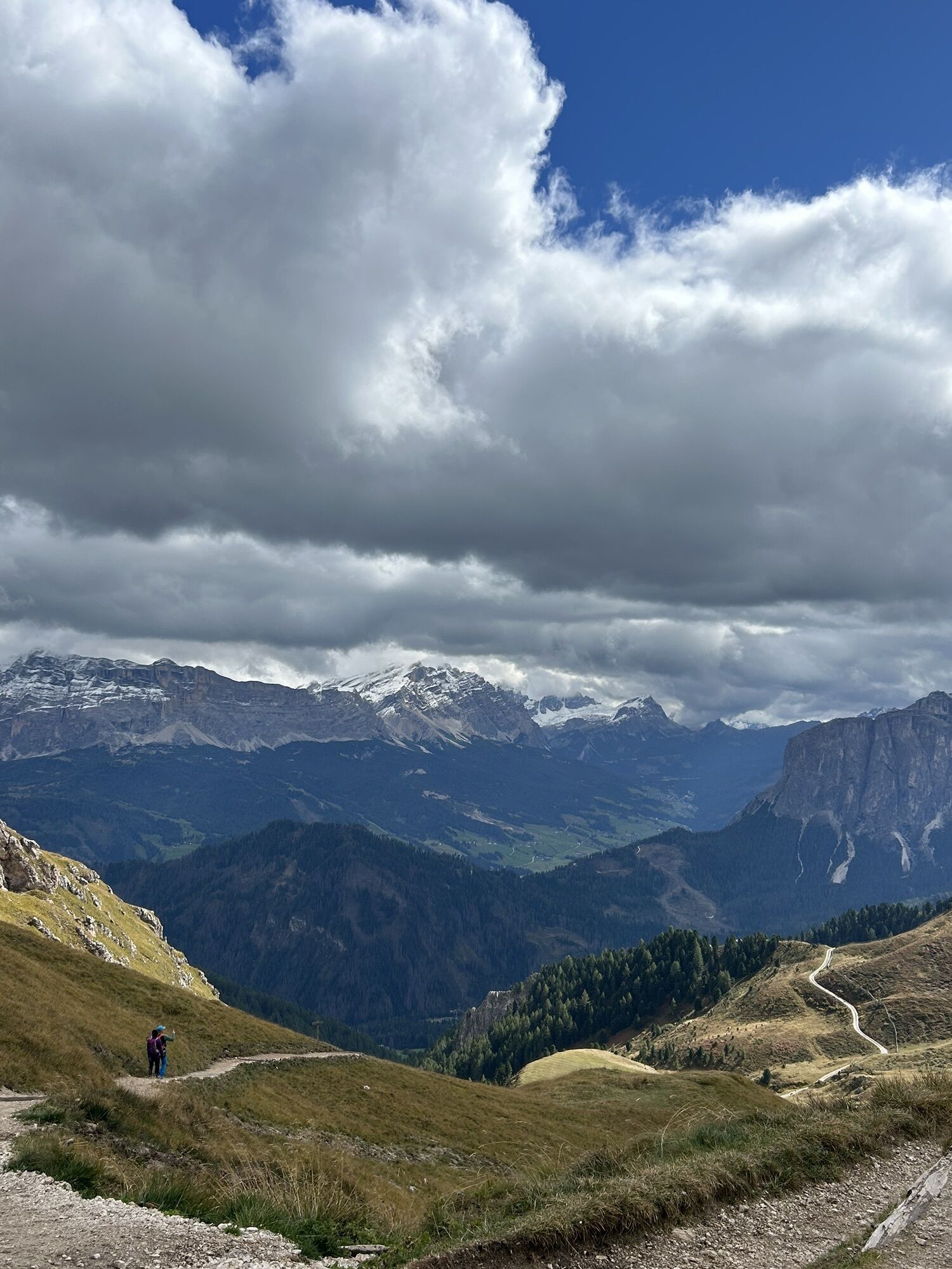
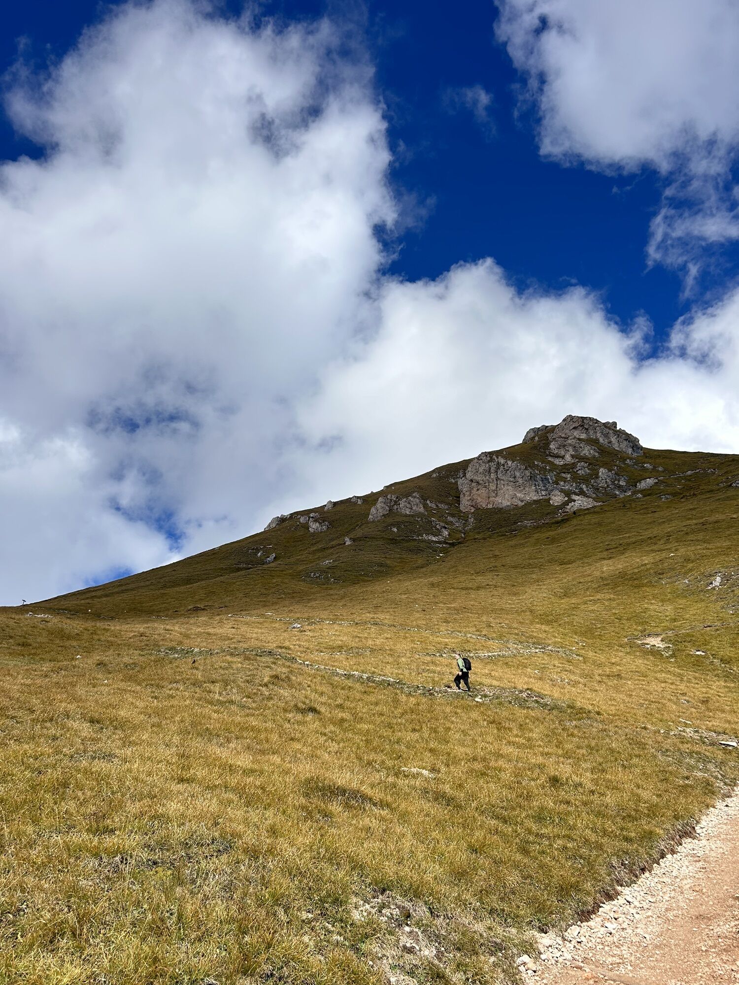
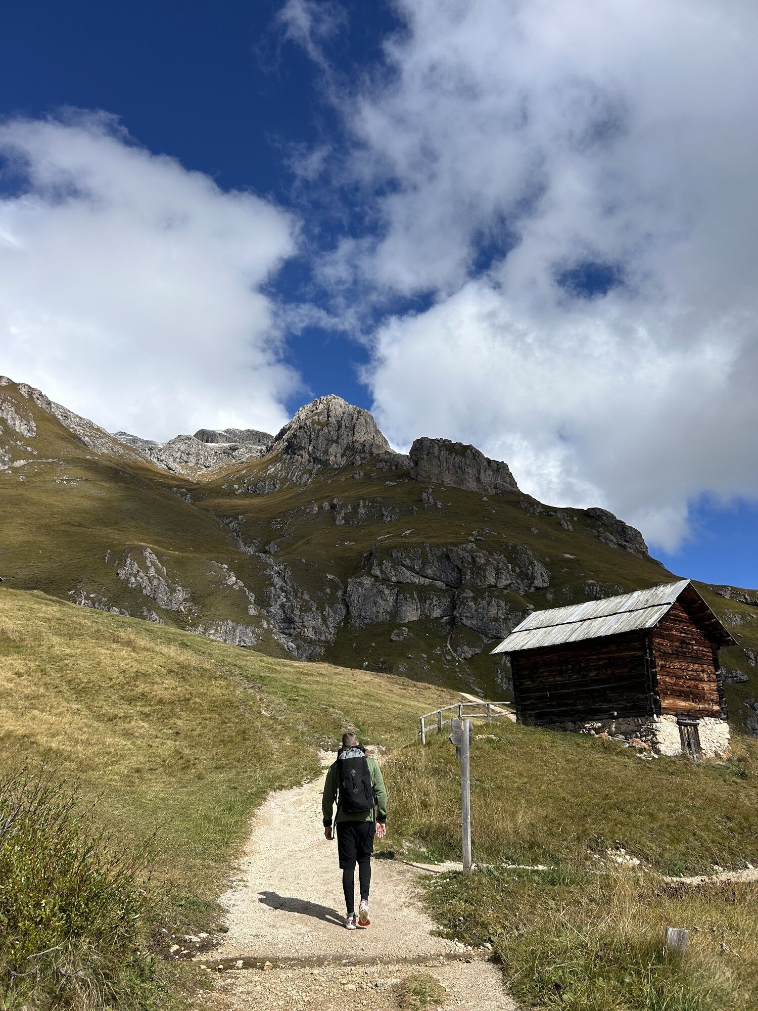
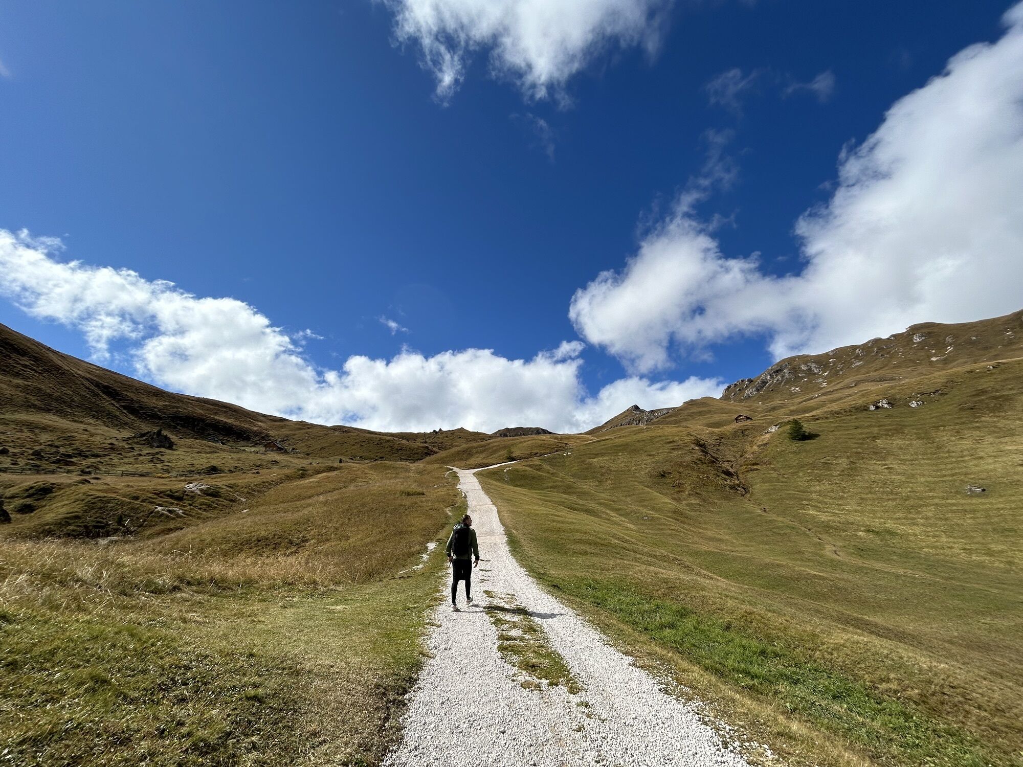
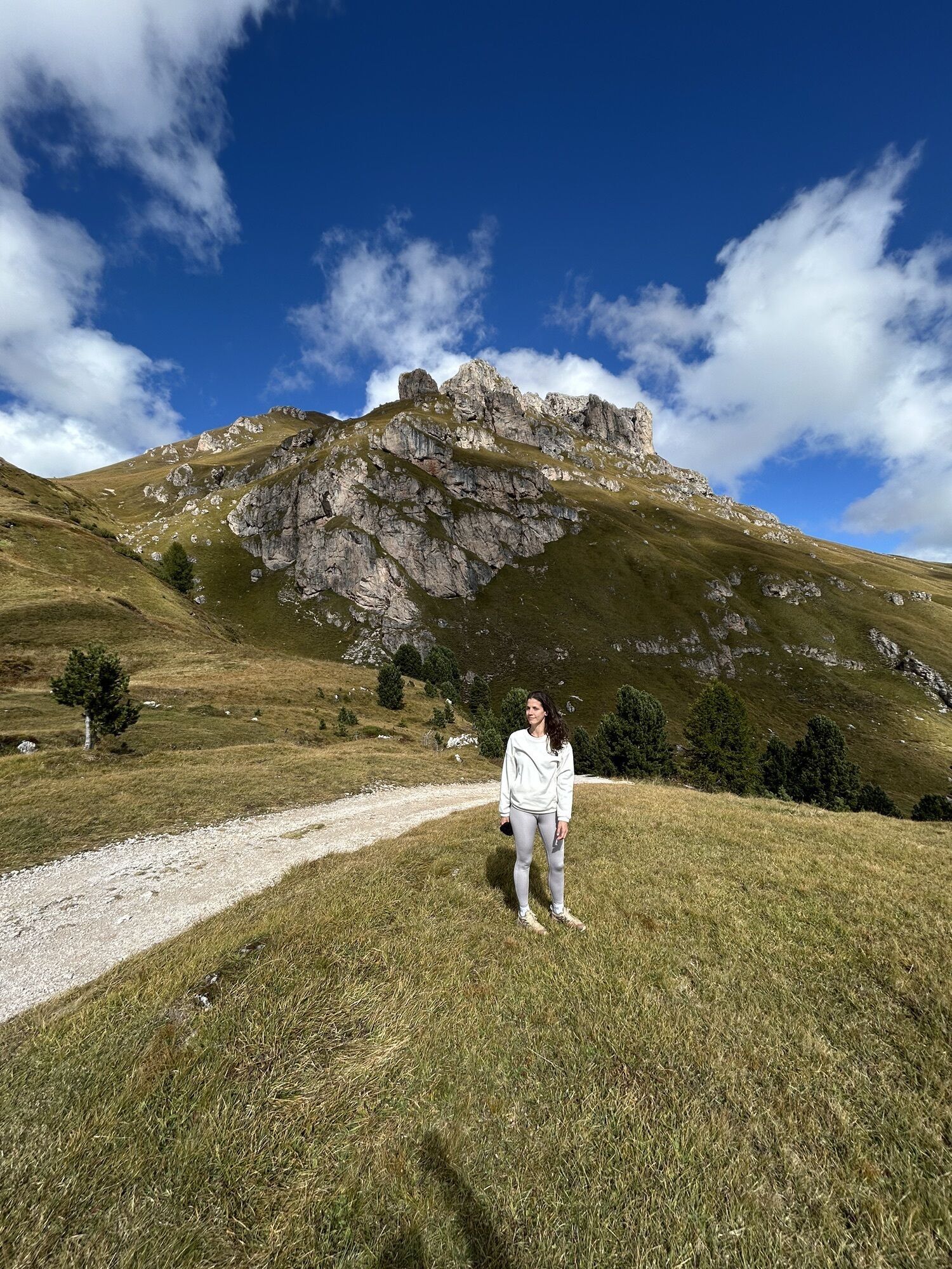
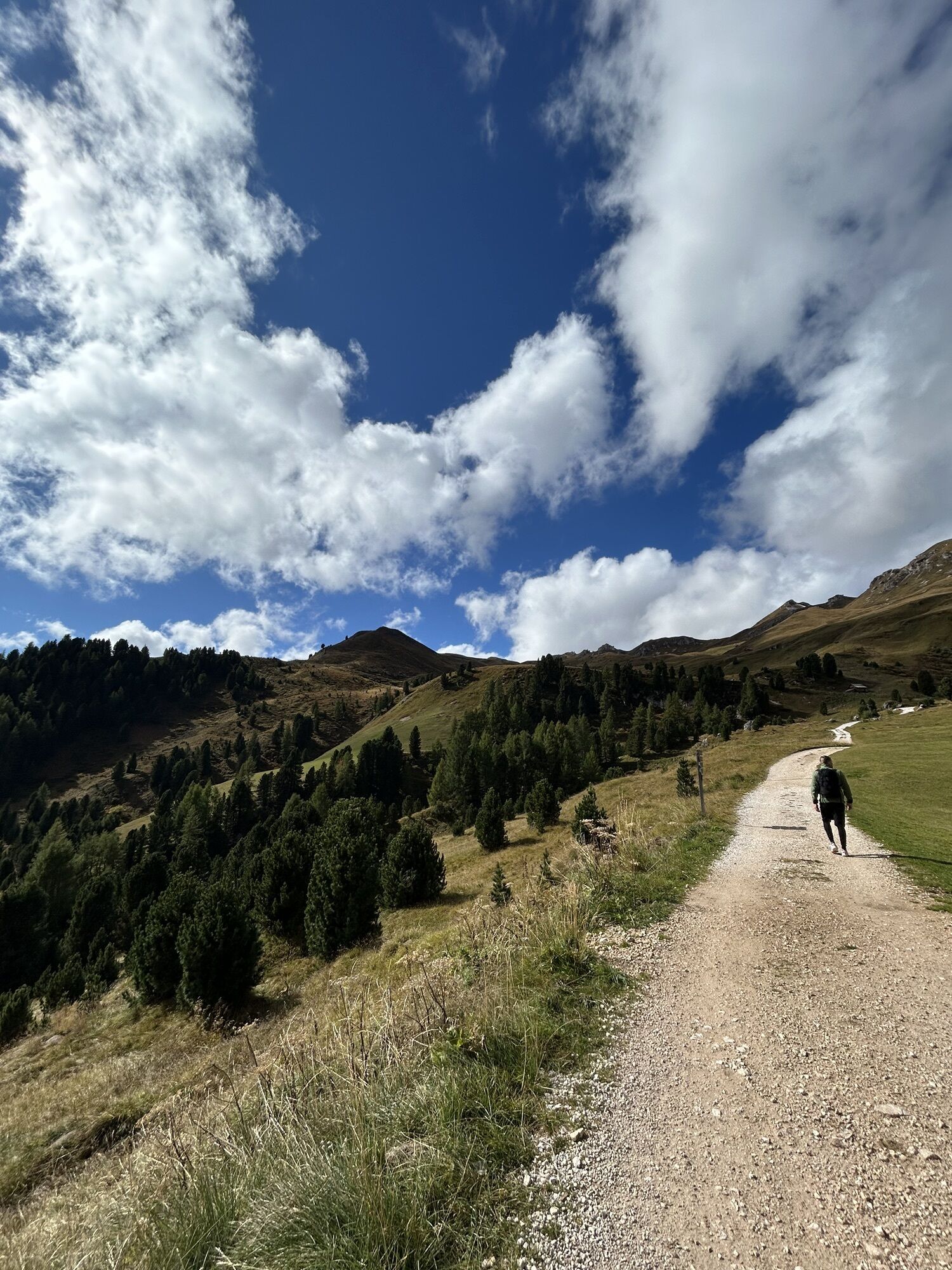
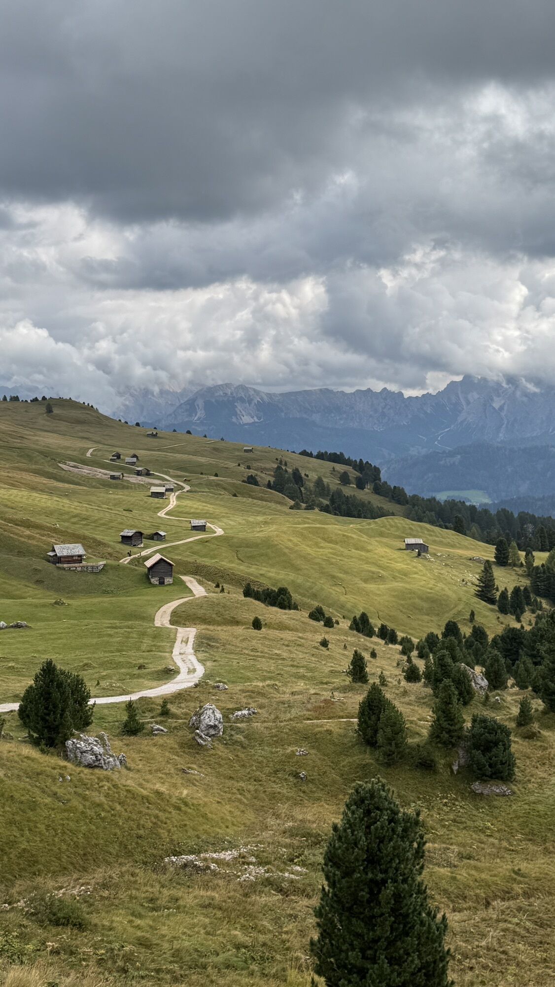
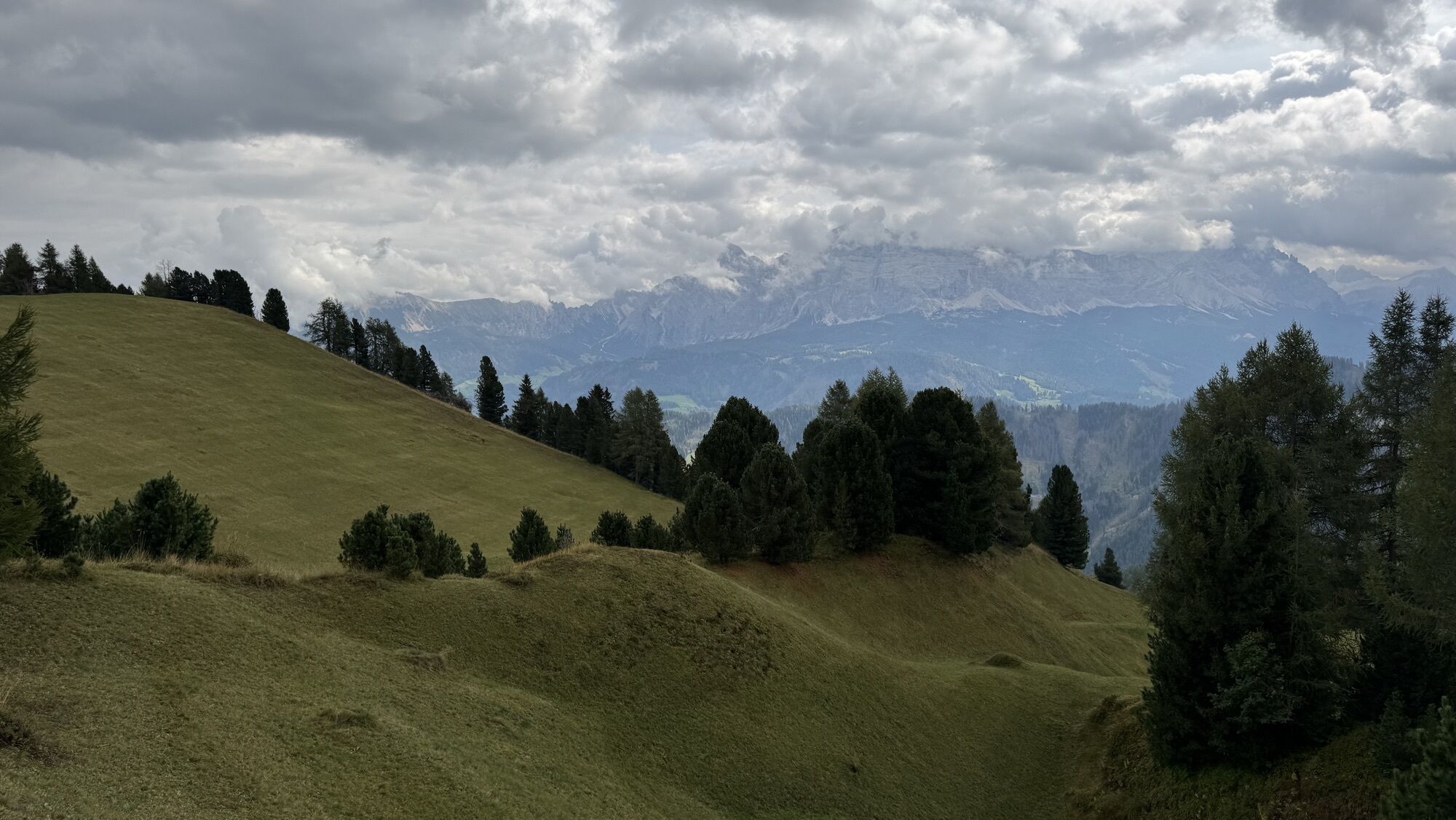
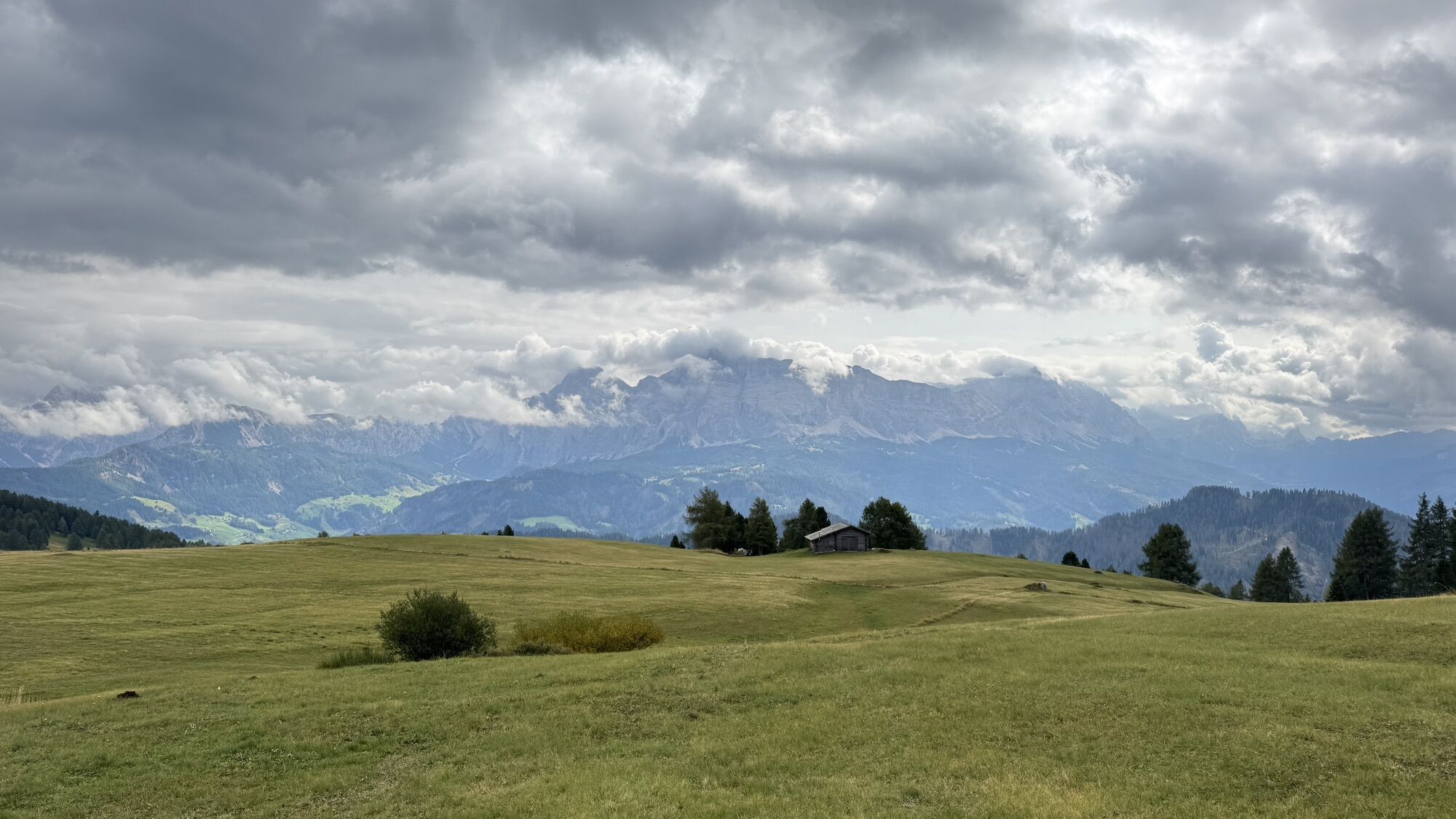
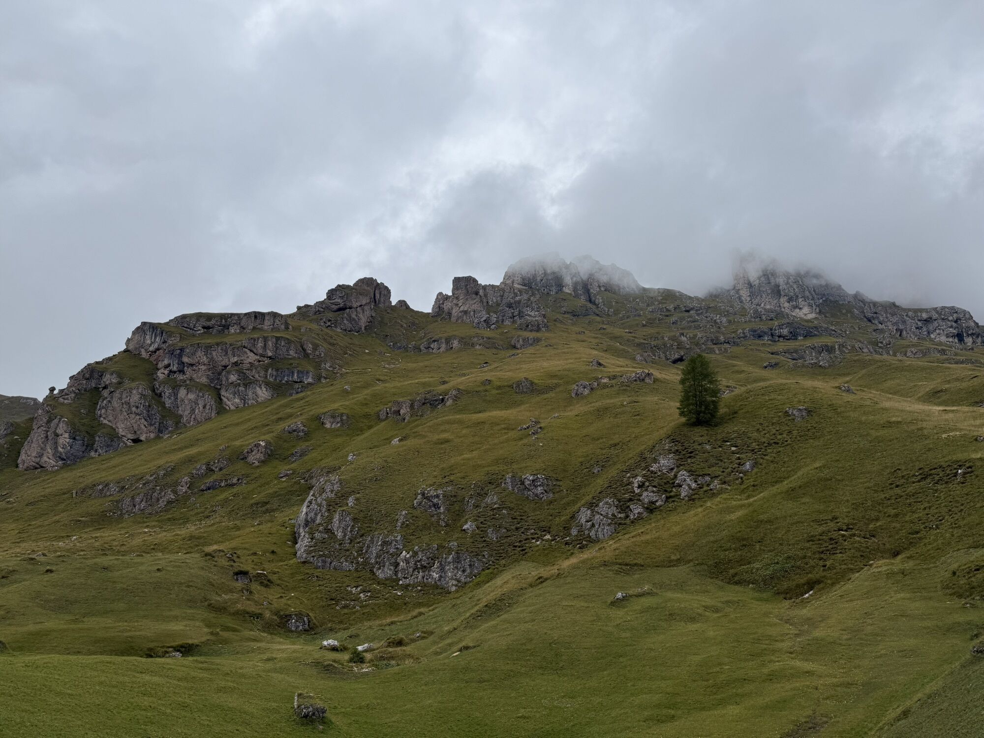
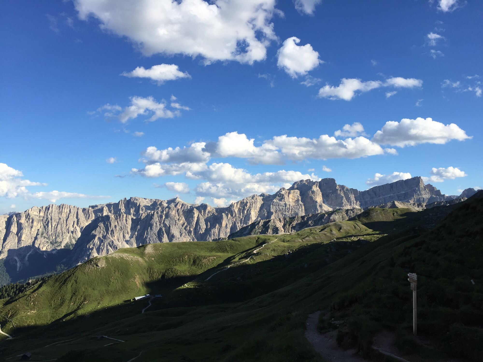
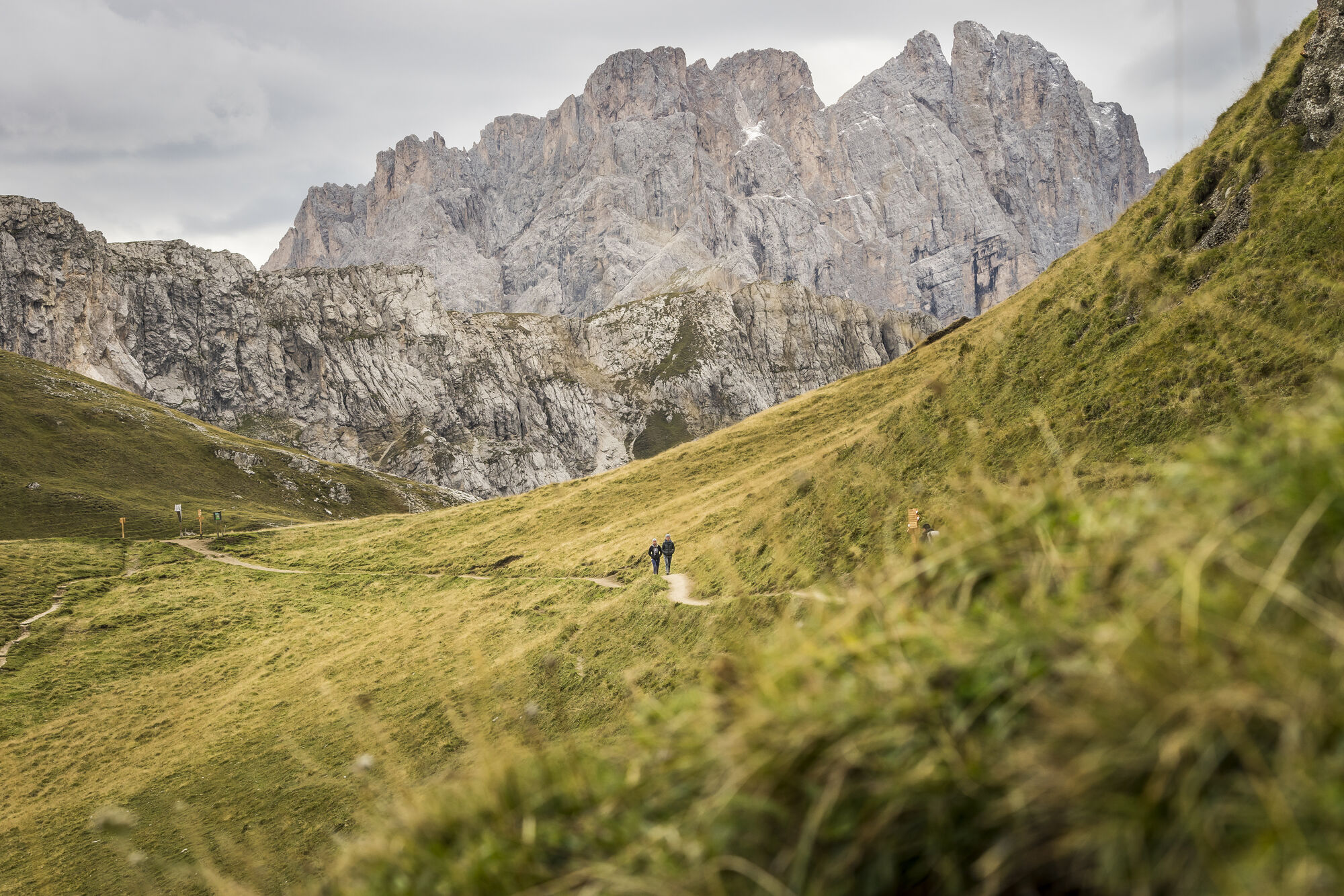
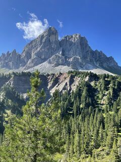
From the parking area at the Würzjoch (1,987 m), take the wide forest trail no. 8/A moderately uphill in a southerly direction to the meadows at the foot of the Peitlerkofel. At the road fork near Munt de Fornella Alm mountain hut (2,080m), continue on trail no. 8/A through flat meadows until it comes to a hollow at the end of the road. From here, the trail heads south across a scree-covered slope and a rocky bluff before it climbs up a steep gorge to the Peitlerscharte (2,357 m), the highest point of the hike.
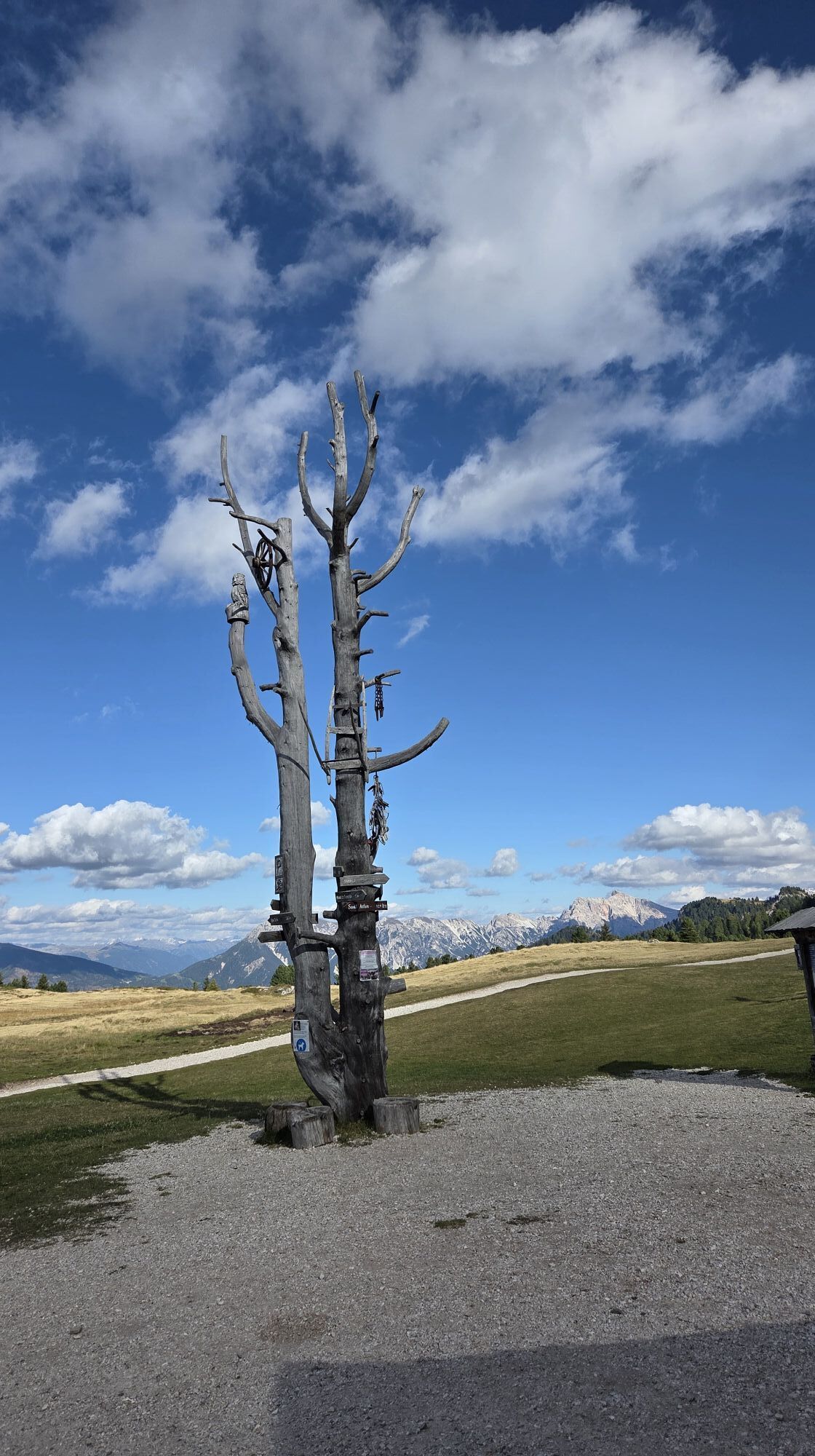
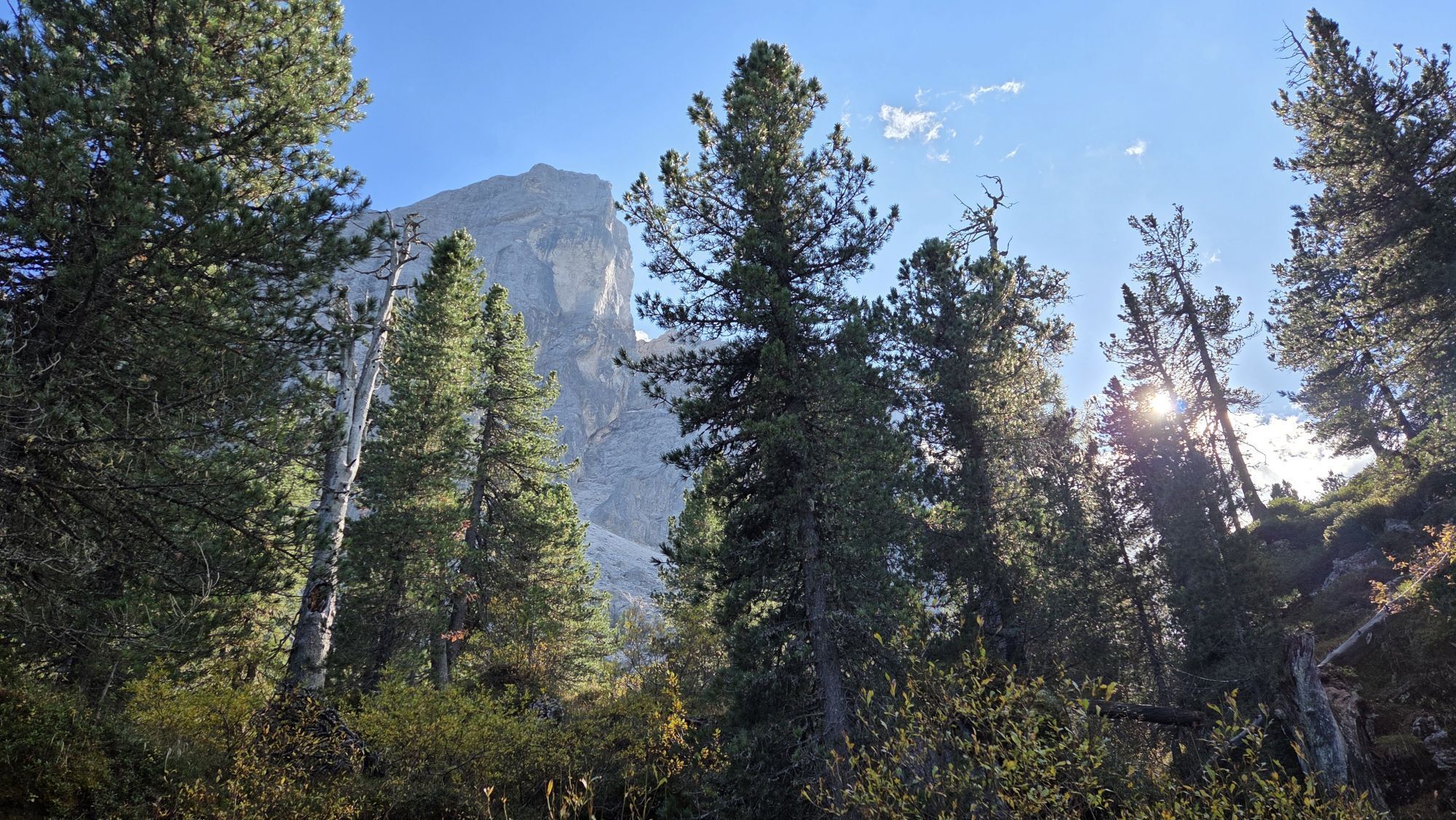
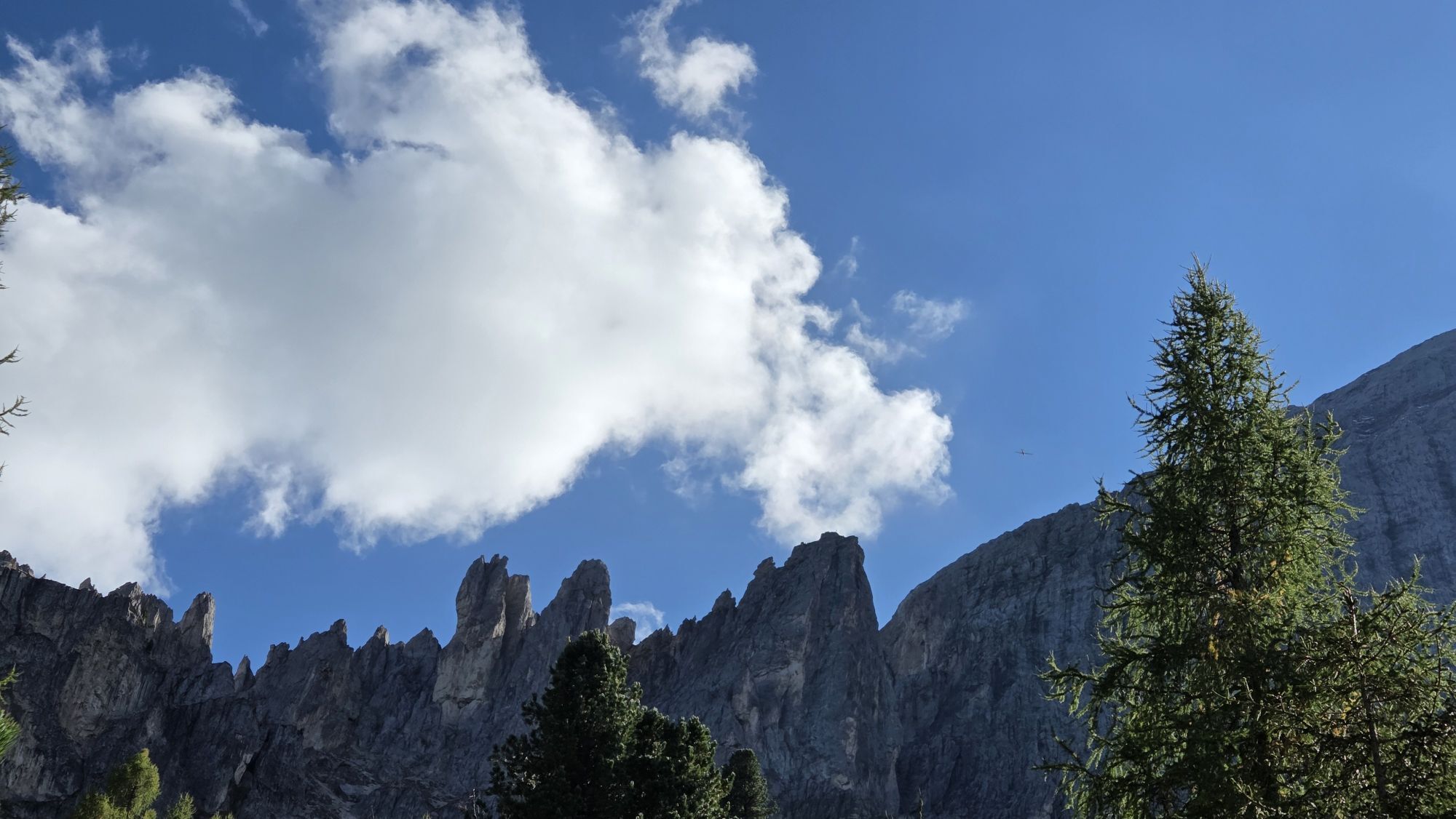
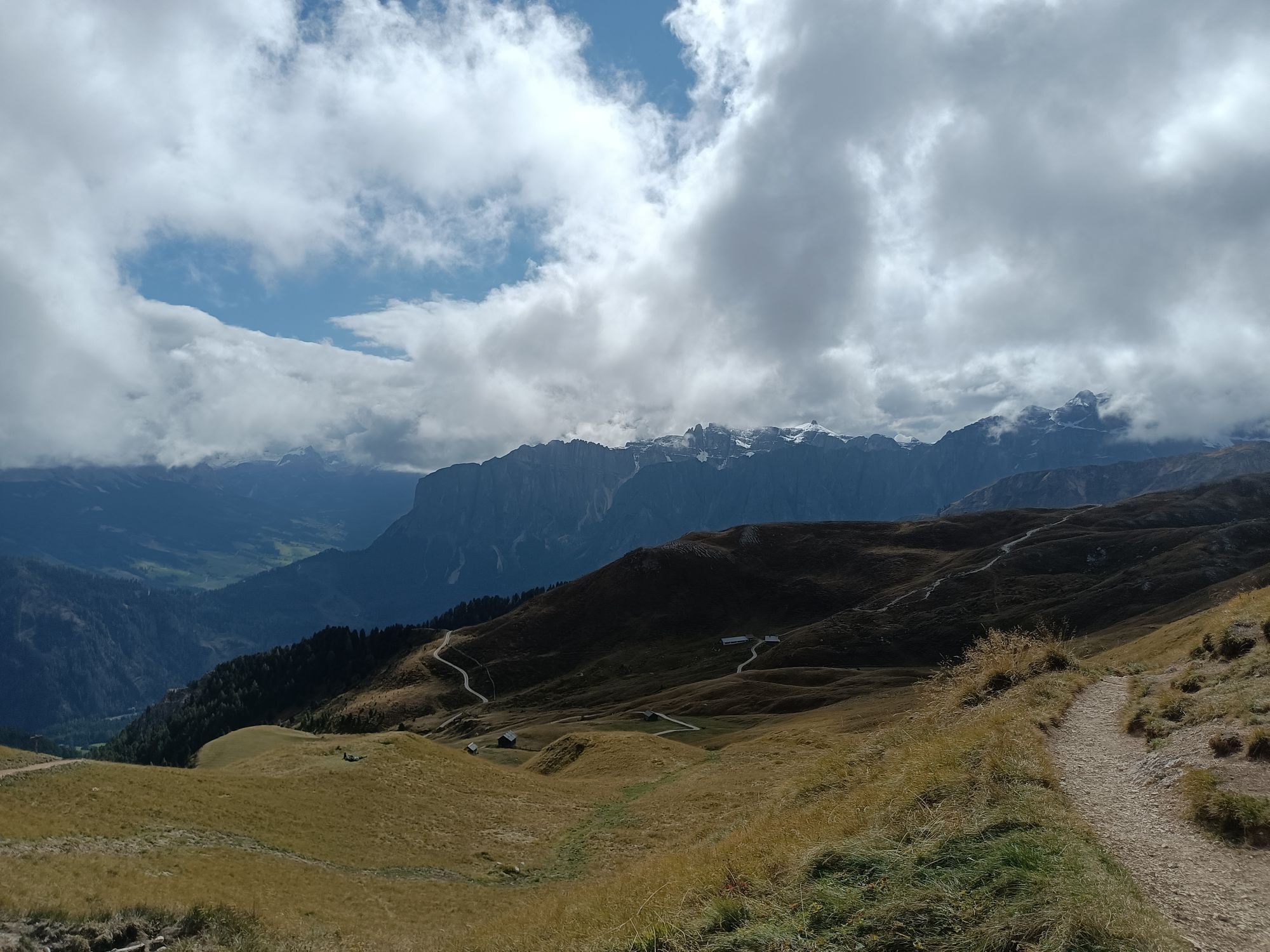
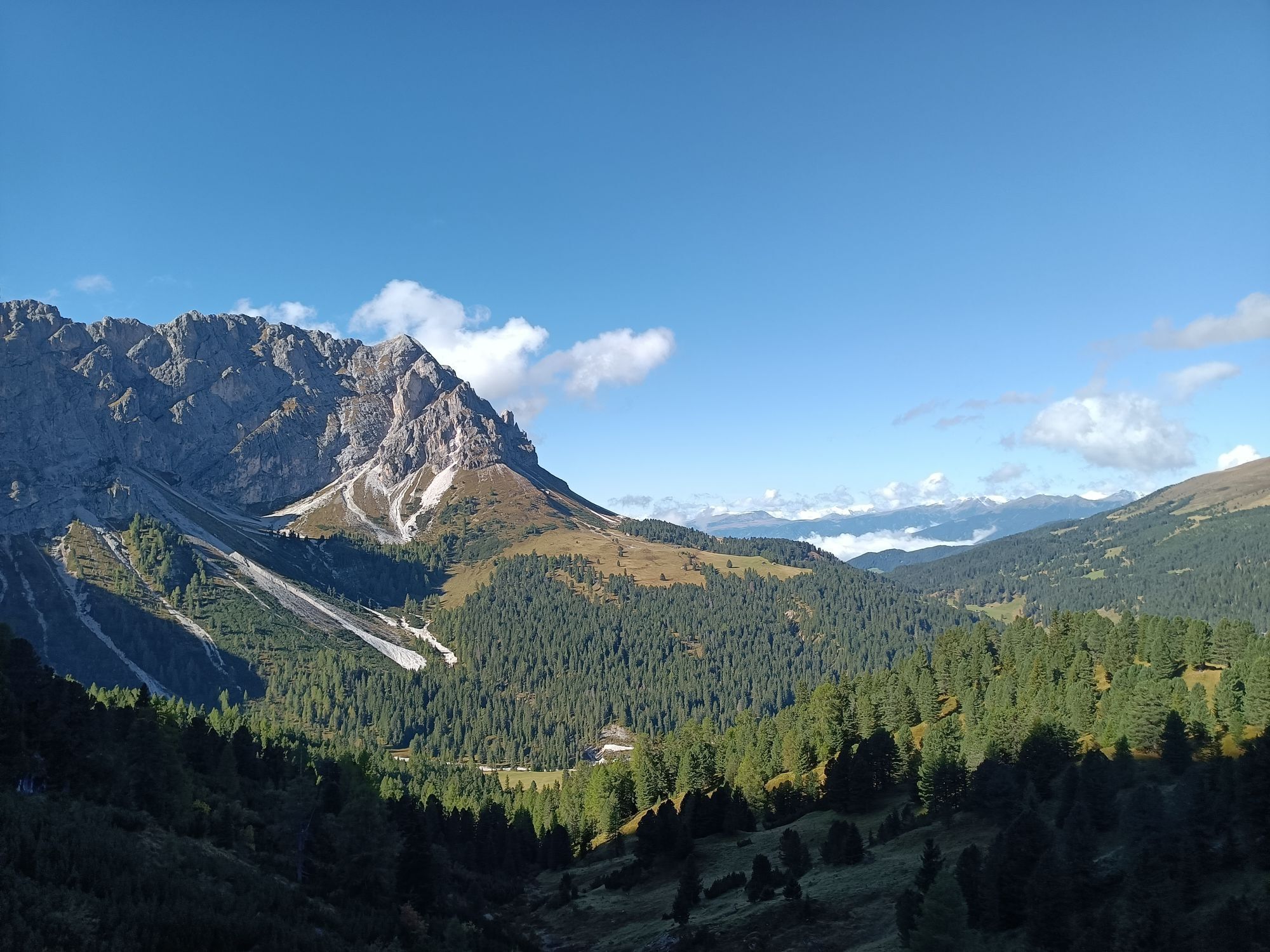
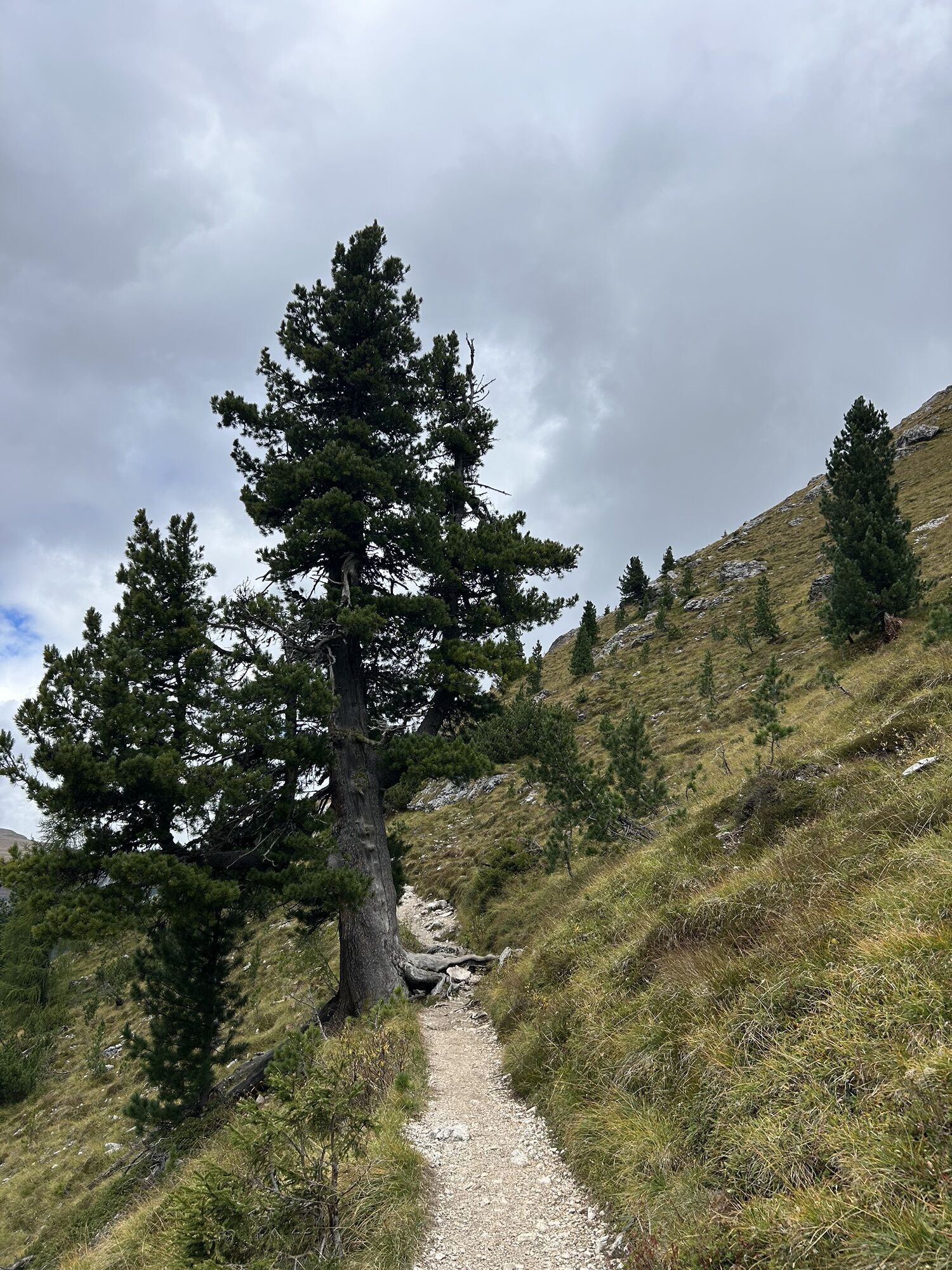
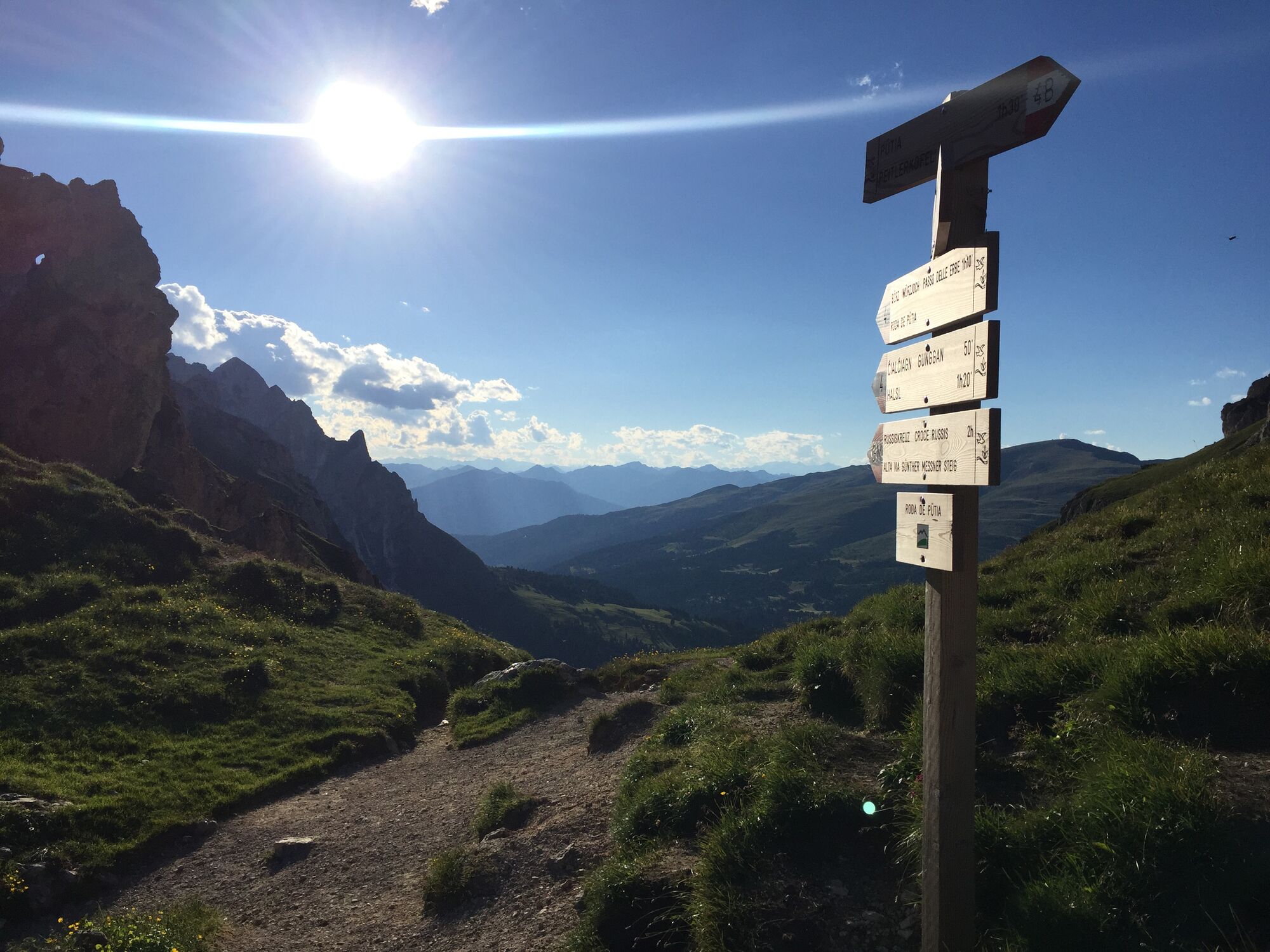
Descend steeply down the south-facing grass slope on trail no. 4/B to farm track no. 35, which runs northeast through the picturesque Peitlerwiesen meadows to Ütia Vaciara mountain hut (2,110 m) and up a slight ascent to the lookout point on the Gömajoch (2,111 m). Cross to the north face of the Peitlerkofel and follow trail no. 8/B, which branches off to the left. Descend through the high forest until there’s a farm road leading west to the meadows of Ütia de Göma mountain hut (2,030 m). Continue on a slight uphill gradient through the Swiss stone pine forest to the rolling meadows and back to the Ütia Munt de Fornella (2,080 m). From there, the descent to the starting point at the parking area at the Würzjoch is the same as the ascent.

Oui


 Obtenez un aperçu Toujours en direct avec plus de 9.500 webcams. En tant qu'utilisateur Pro, vous pouvez désormais voir les webcams correspondantes à de nombreuses randonnées dans l'application de randonnées de bergfex. Vous pouvez ainsi voir directement les conditions actuelles.
Activités le long du parcours

Peitlerkofel Umrundung
23.05.2026 – Randonnée
St. Martin in Thurn, Trentino-Südtirol/Italien
01.10.2025 – Randonnée en montagne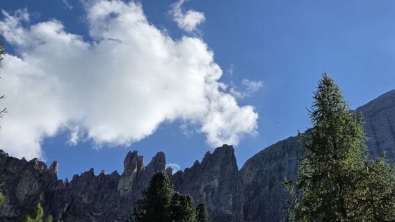
St. Martin in Thurn, Trentino-Südtirol/Italien
29.09.2025 – Randonnée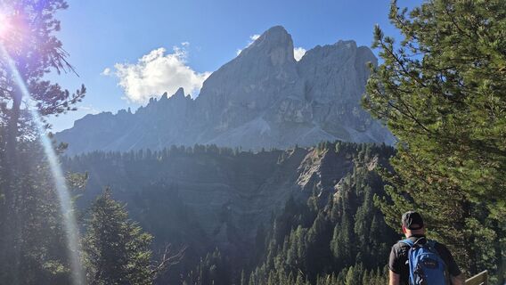
St. Martin in Thurn, Trentino-Südtirol/Italien
29.09.2025 – Randonnée
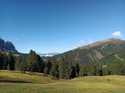
San Martino in Badia, Trentino-Alto Adige/Italia
28.09.2025 – Randonnée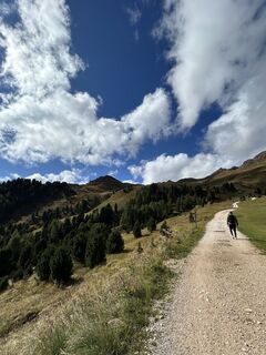
San Martin de Tor - San Martino in Badia - St. Martin in Thurn, Trentino-Alto Adige/Südtirol/Italia
27.09.2025 – RandonnéeSan Martino in Badia, Trentino-Alto Adige/Italia
20.09.2025 – RandonnéeSan Martin de Tor - San Martino in Badia - St. Martin in Thurn, Trentino – Alto Adige/Südtirol/Italy
12.09.2025 – Randonnée
St. Martin in Thurn, Trentino-Südtirol/Italien
03.09.2025 – Randonnée
San Martino in Badia, Trentino-Alto Adige/Italia
01.09.2025 – Randonnée
St. Martin in Thurn, Trentino-Südtirol/Italien
31.08.2025 – RandonnéeSt. Martin in Thurn, Trentino-Südtirol/Italien
27.08.2025 – RandonnéeSan Martino in Badia, Trentino-Alto Adige/Italia
26.08.2025 – Balade
San Martino in Badia, Trentino-Alto Adige/Italia
24.08.2025 – Randonnée en montagne
Giro intorno al Putia
17.08.2025 – RandonnéeSan Martino in Badia, Trentino-Alto Adige/Italia
17.08.2025 – RandonnéeSan Martin de Tor - San Martino in Badia - St. Martin in Thurn, Trentino – Alto Adige/Südtirol/Italy
11.08.2025 – Randonnée
Peitlerkofel Umrundung
22.07.2025 – Randonnée en montagne
San Martino in Badia Wandern
04.07.2025 – Randonnée en montagne
Würzjoch zum Peitlerkofel Mai 2025
29.05.2025 – Randonnée
Parcours populaires à proximité
- 4,7
The Munkelweg trail beneath the Geisler peaks
moyenRandonnée 9,11 km - 4,4
Three summits tour on the Plose above Brixen
moyenRandonnée 12,8 km - 4,3
Seceda und Regensburger Hütte
moyenRandonnée 14,1 km - 4,8
Pisciadùsteig Sella Gruppe
moyenVia ferrata 7,15 km - 4,0
The Brixen High Mountain Trail on the Plose Mountain
moyenRandonnée 10,9 km - 4,6
Vom Col Raiser über die Seceda und Pieralongia zur Regensburger Hütte
moyenRandonnée 10,4 km - 4,5
Der Raschötzer Höhenweg
Randonnée 12,2 km - 4,9
Raschötz Umrundung
facileRandonnée 14,2 km - 4,8
Von Zans zur Geisler Alm
facileRandonnée 10,5 km - 4,6
Sellajoch und Steinerne Stadt
VTT 17,8 km

Randonnée et suivi


Ne manquez pas les offres et l'inspiration pour vos prochaines vacances
Votre adresse électronique a été ajouté à la liste de diffusion.





