


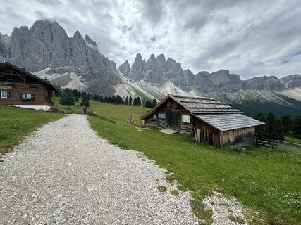
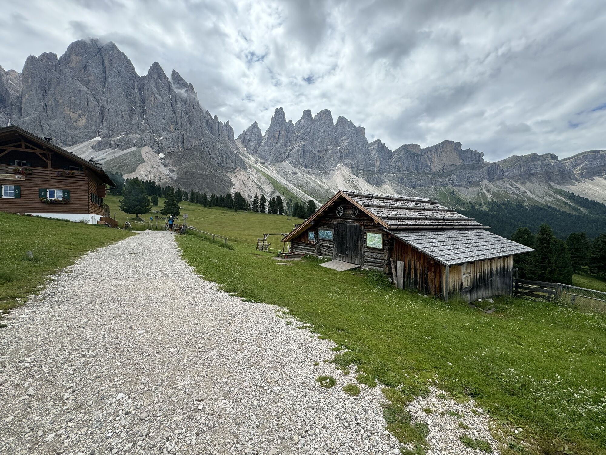
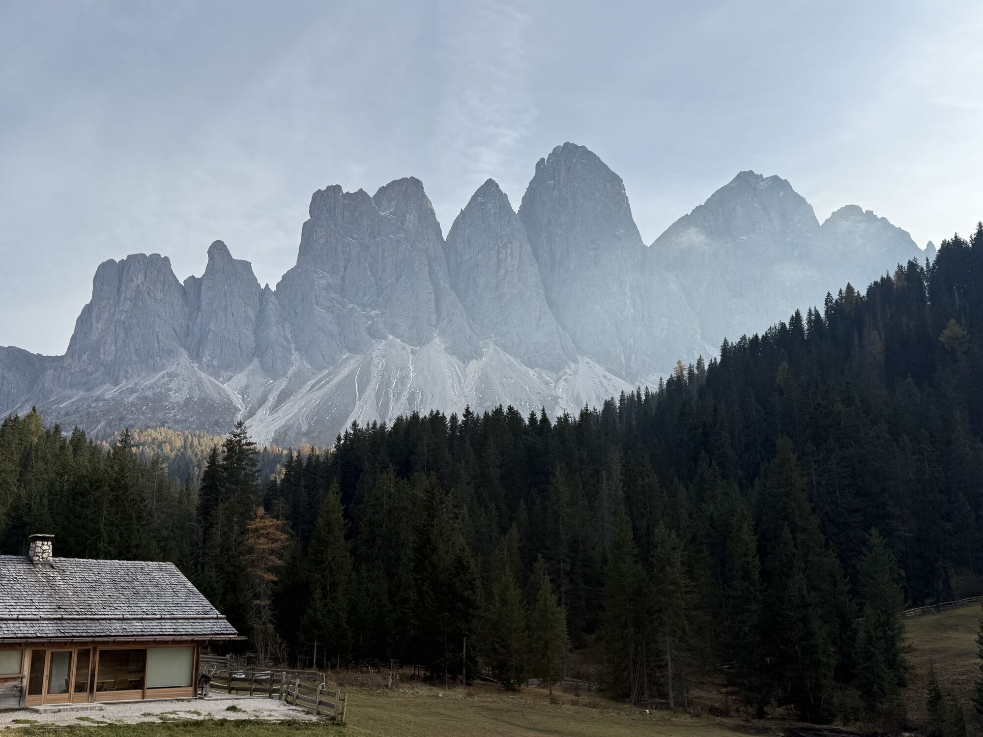
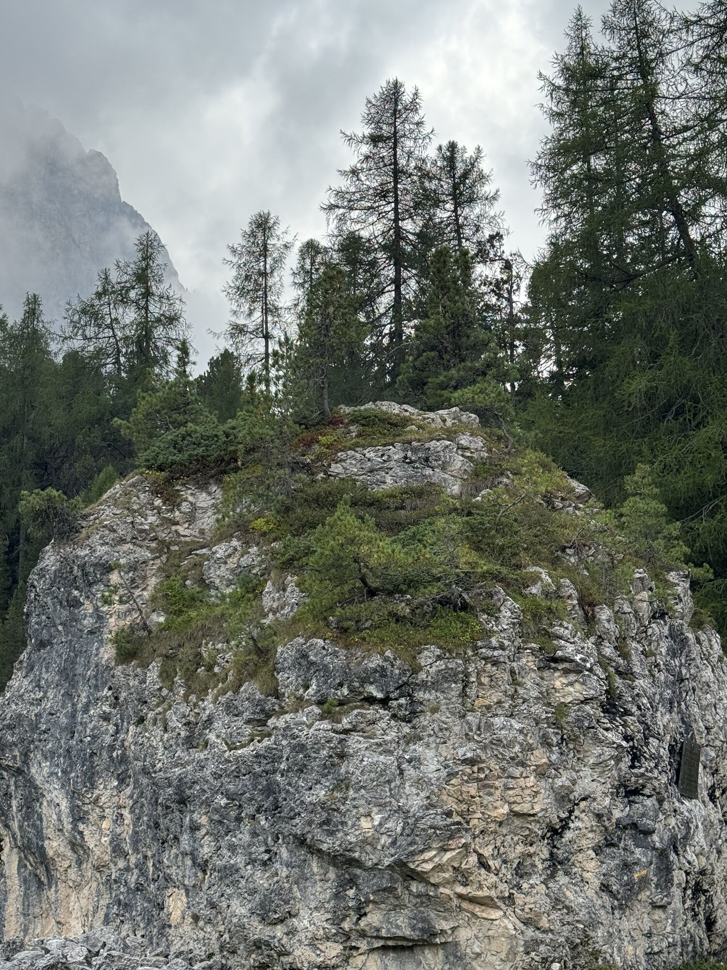
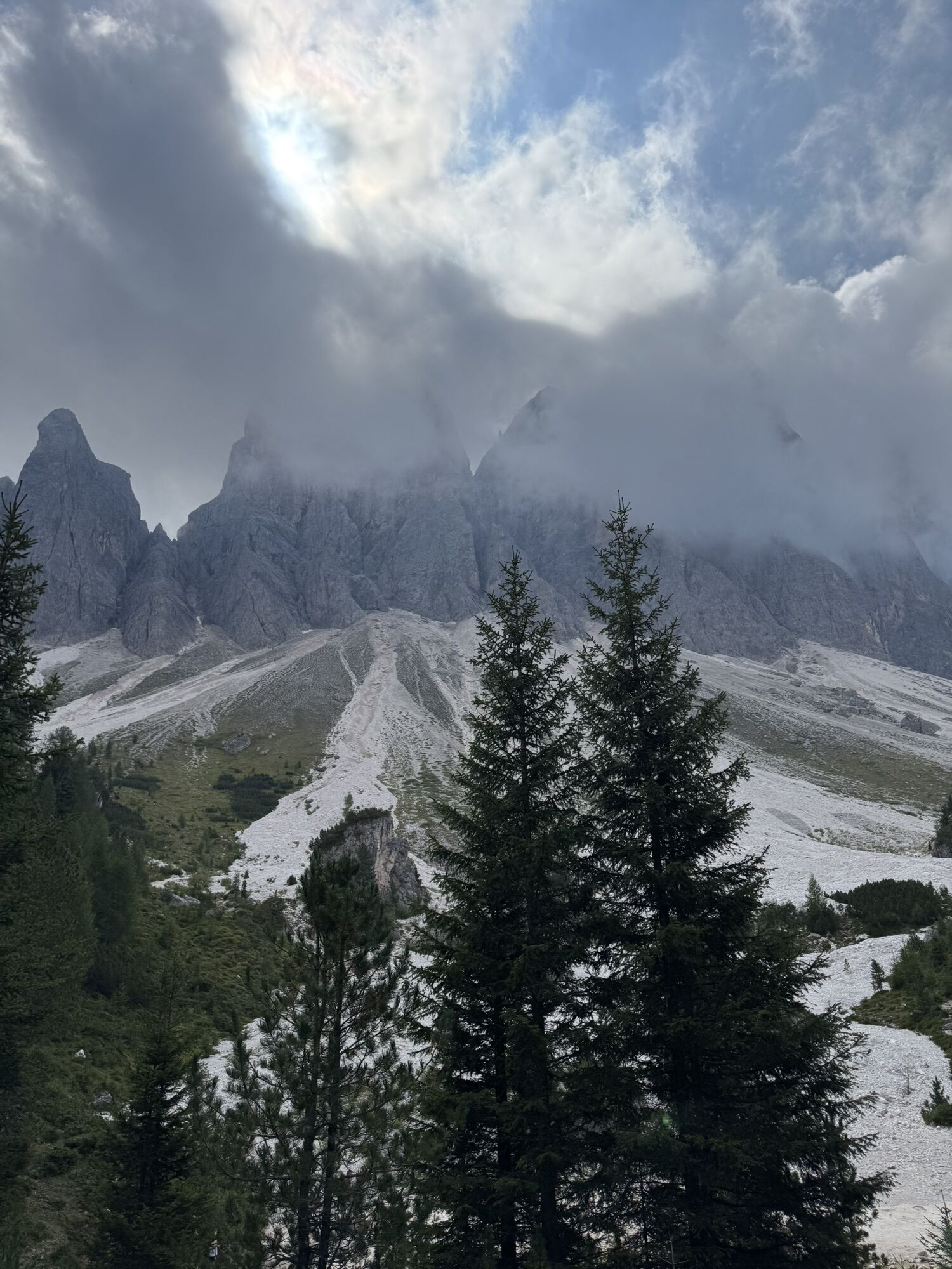
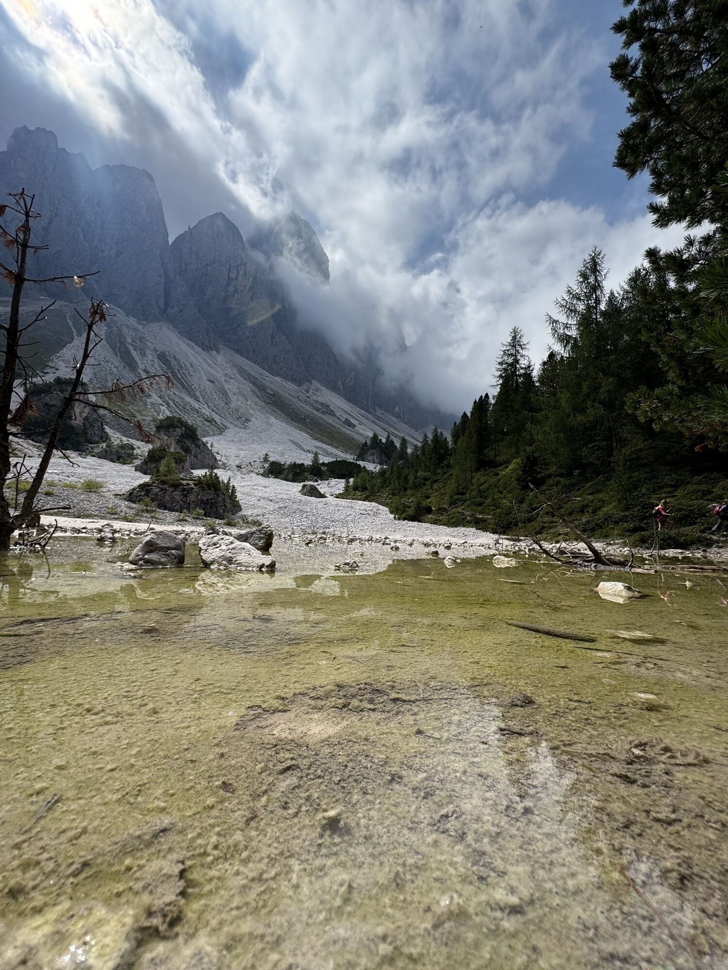
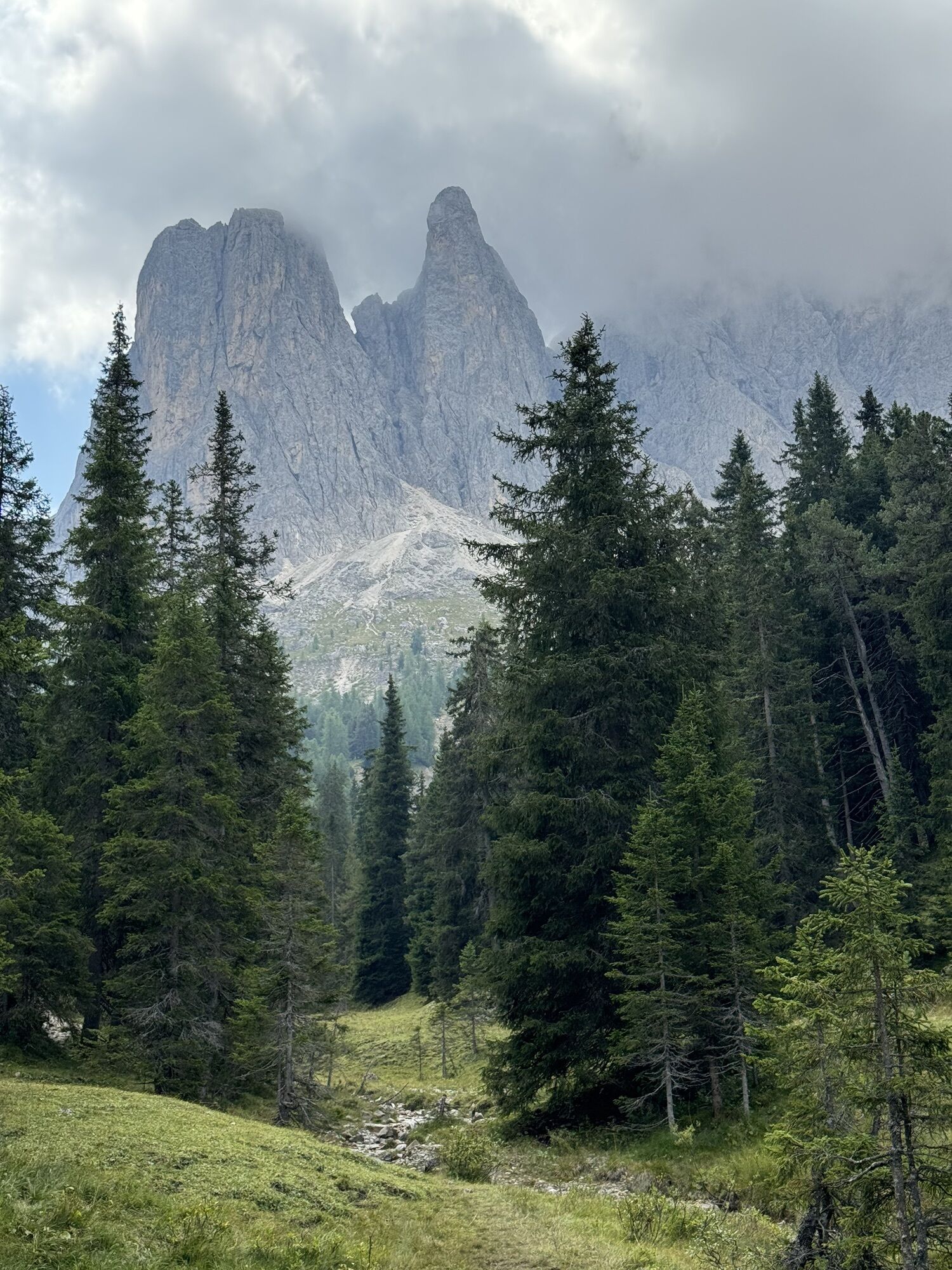
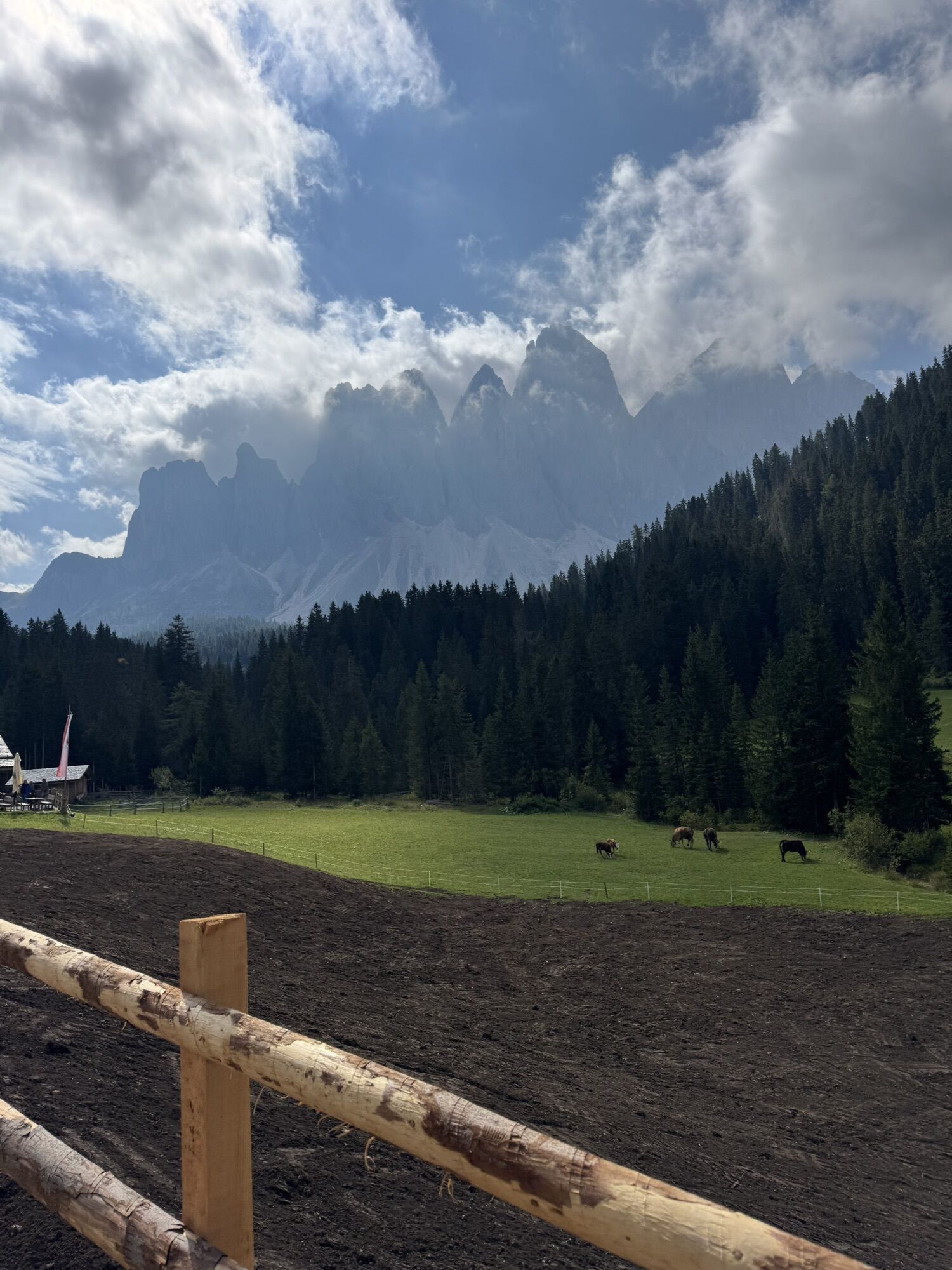
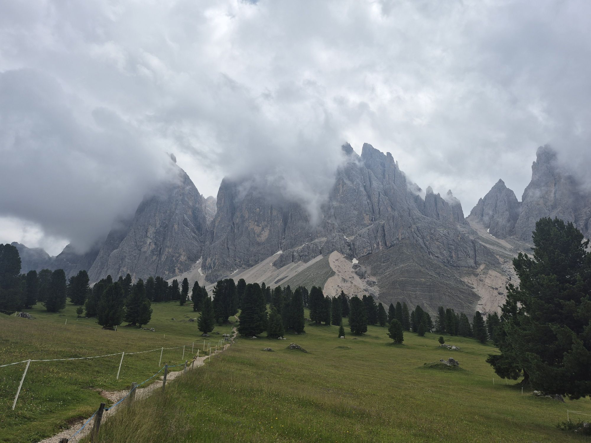
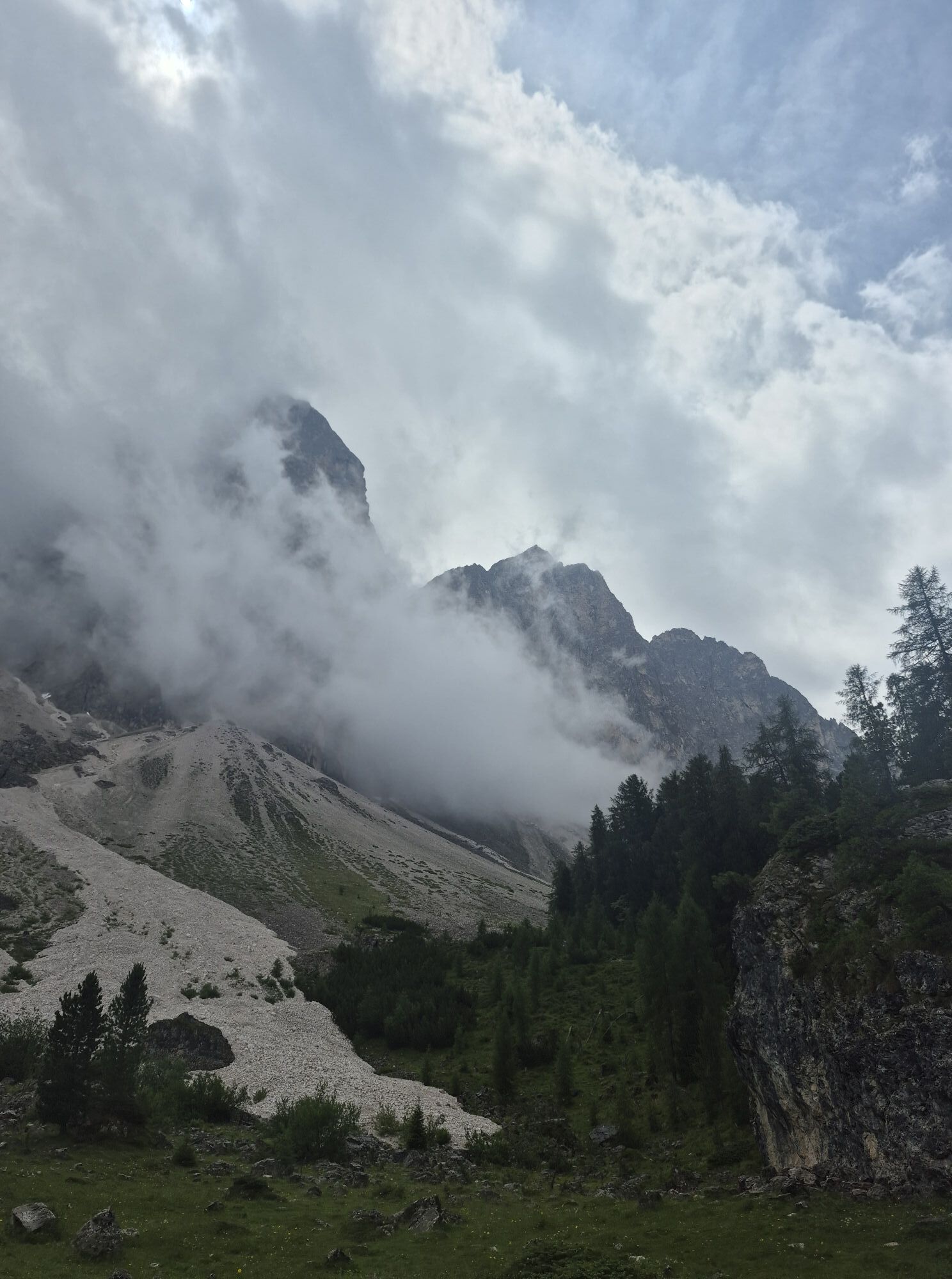
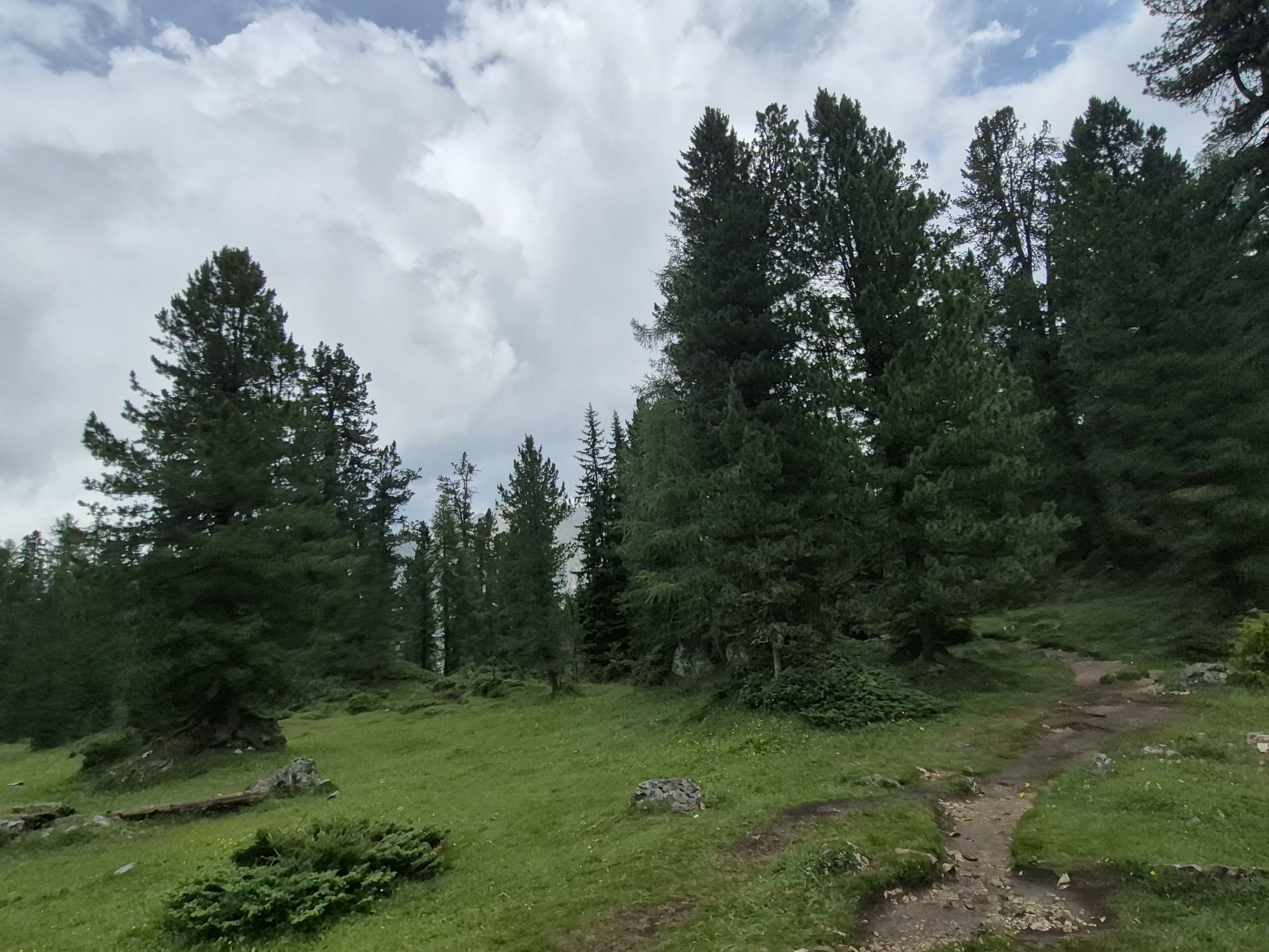
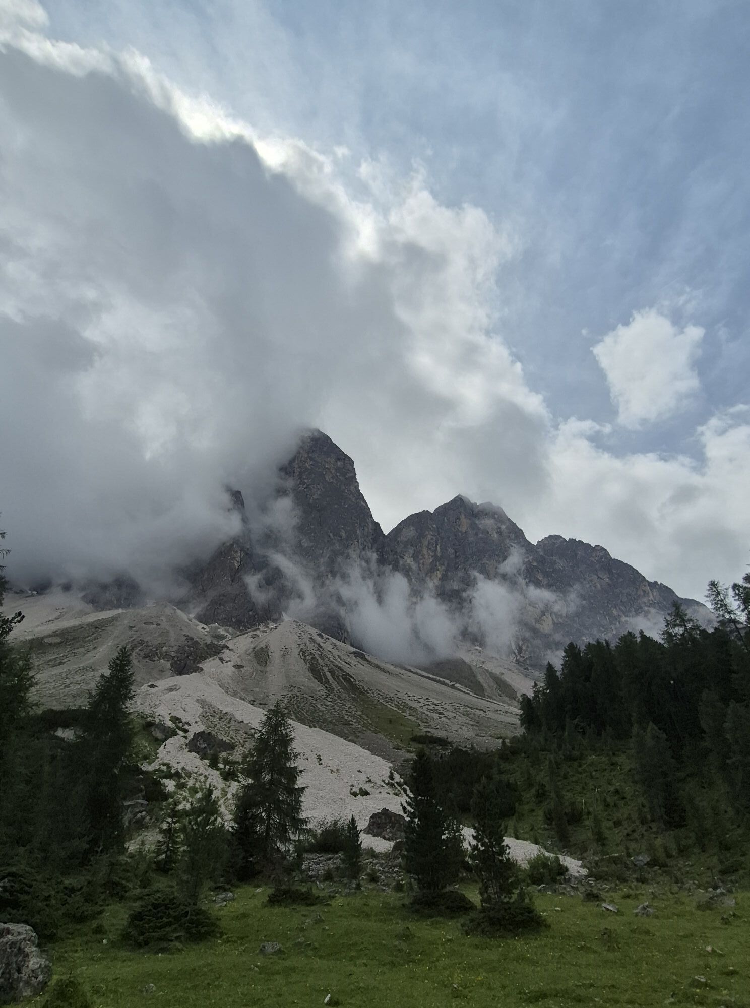
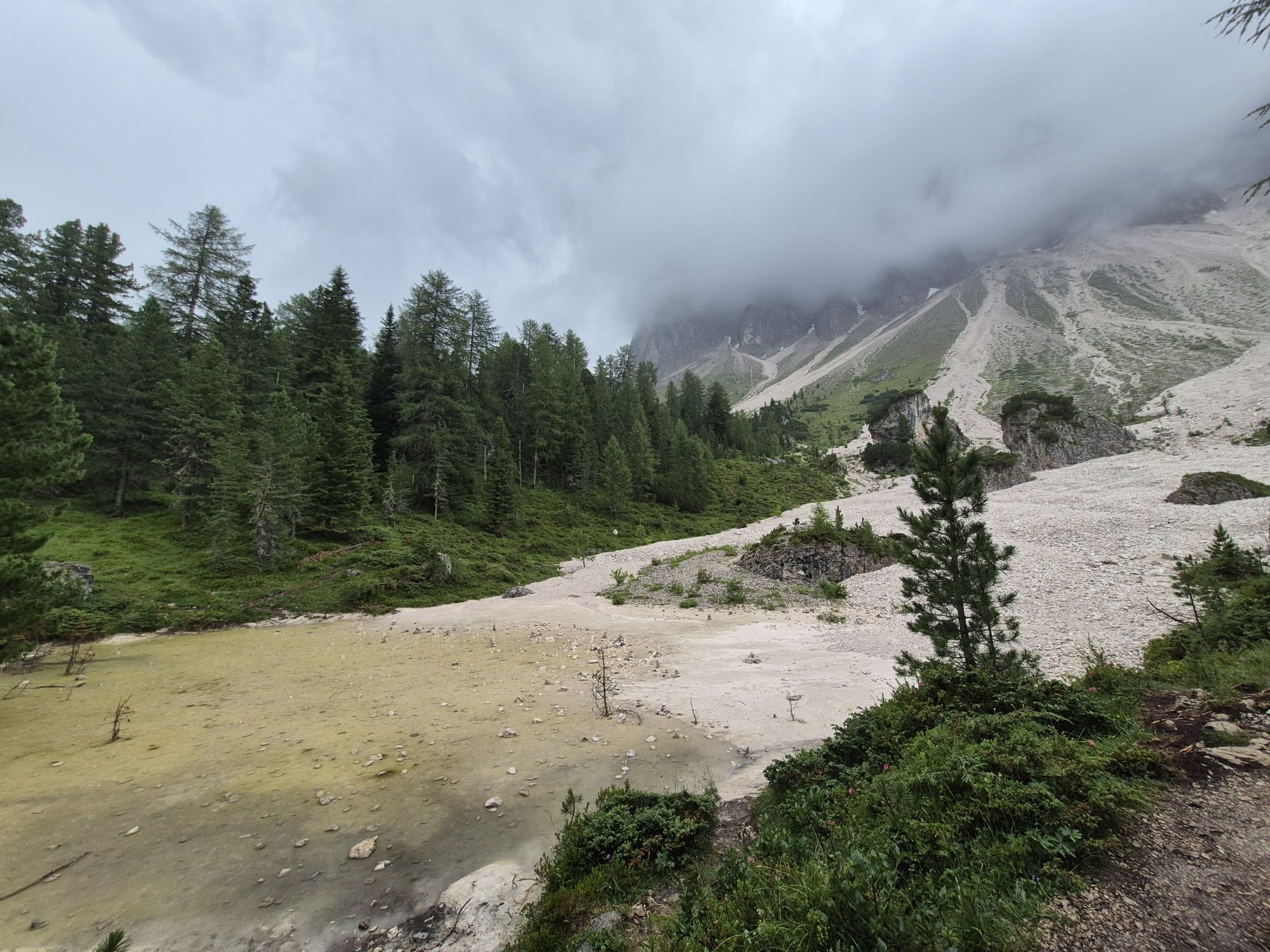
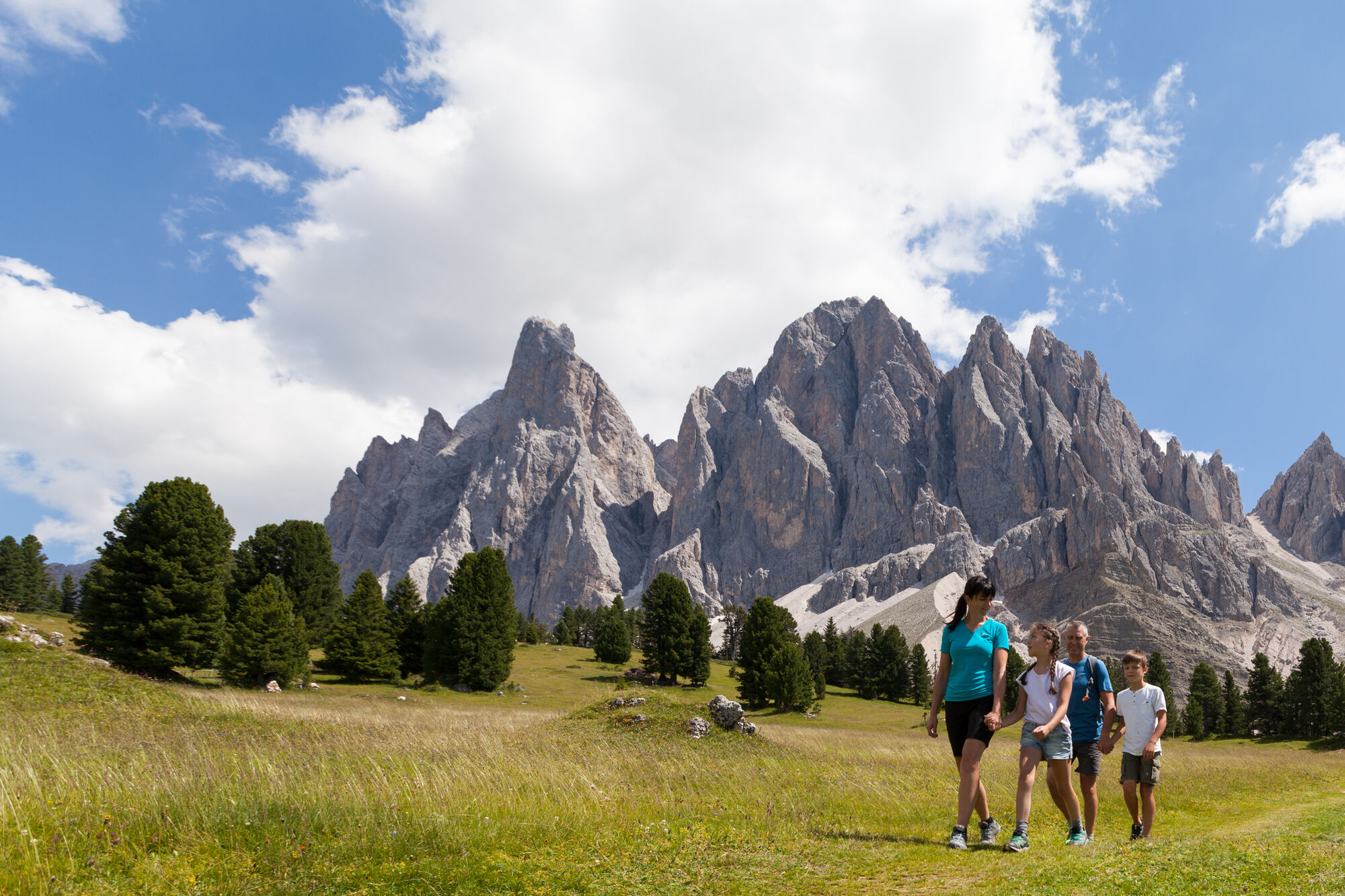
The Munkelweg trail beneath the Geisler peaks
Photos de nos utilisateurs
 © Stefano “Iddo”Créé le 20.07.2024
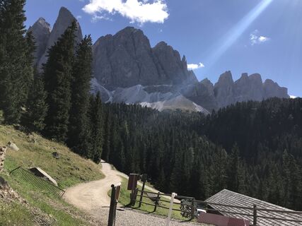
 © Reiner RichterCréé le 21.09.2022
 © Patrizia SeppiCréé le 31.12.2025
 © Nur Diyana ShaharudinCréé le 30.10.2025
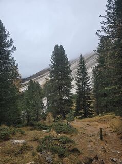 © Nur Diyana ShaharudinCréé le 30.10.2025
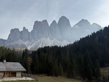
 © Norbert HerbigCréé le 19.10.2025
 © Norbert HerbigCréé le 19.10.2025
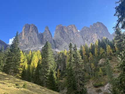
 © Rouven SchwarkCréé le 09.10.2025
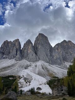 © Rouven SchwarkCréé le 09.10.2025
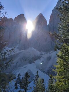
 © Markus MantingerCréé le 02.10.2025
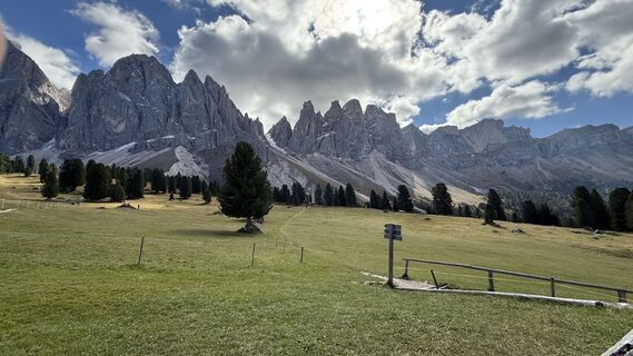
 © Andreas WohlrabCréé le 29.09.2025
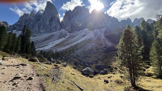 © Andreas WohlrabCréé le 29.09.2025
 © Knausis.travel.diariesCréé le 19.09.2025
 © Knausis.travel.diariesCréé le 19.09.2025
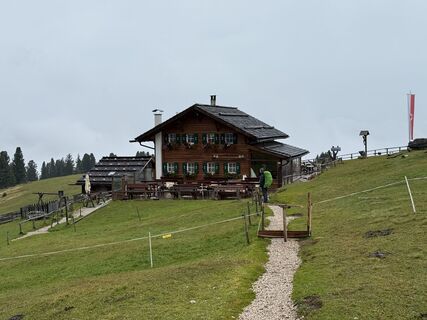
 © Frank de VriesCréé le 10.09.2025
 © Frank de VriesCréé le 10.09.2025
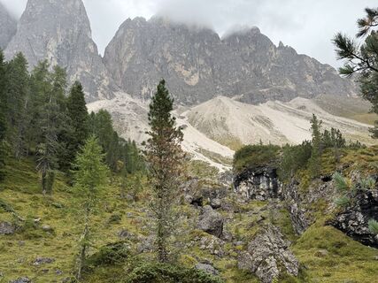 © Frank de VriesCréé le 10.09.2025
 © Frank de VriesCréé le 10.09.2025
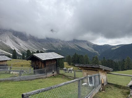
 © Tobias RudolphCréé le 01.09.2025
 © Christoph WogeCréé le 27.08.2025
 © Christoph WogeCréé le 27.08.2025
 © Christoph WogeCréé le 27.08.2025
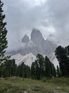 © Christoph WogeCréé le 27.08.2025
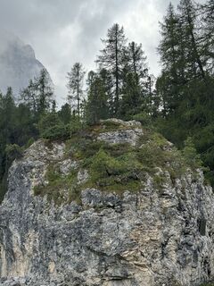 © Christoph WogeCréé le 27.08.2025
 © Christoph WogeCréé le 27.08.2025
 © Christoph WogeCréé le 27.08.2025
 © Christoph WogeCréé le 27.08.2025
 © Christoph WogeCréé le 27.08.2025
 © Christoph WogeCréé le 27.08.2025
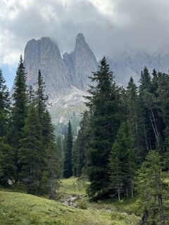 © Christoph WogeCréé le 27.08.2025
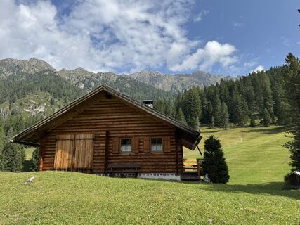 © Christoph WogeCréé le 27.08.2025
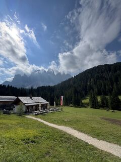 © Christoph WogeCréé le 27.08.2025
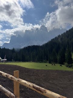 © Christoph WogeCréé le 27.08.2025
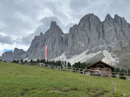 © Helmut ErtzCréé le 23.08.2025
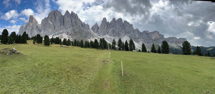 © Helmut ErtzCréé le 23.08.2025
 © Andreas W 2Créé le 10.07.2025
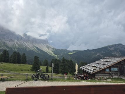
 © Oksana ZokhniukCréé le 06.07.2025
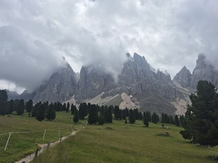 © Oksana ZokhniukCréé le 06.07.2025
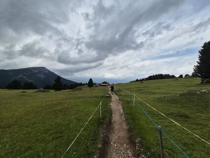 © Oksana ZokhniukCréé le 06.07.2025
 © Oksana ZokhniukCréé le 06.07.2025
 © Oksana ZokhniukCréé le 06.07.2025
 © Oksana ZokhniukCréé le 06.07.2025
 © Oksana ZokhniukCréé le 06.07.2025
 © Oksana ZokhniukCréé le 06.07.2025
 © Oksana ZokhniukCréé le 06.07.2025
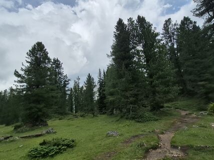 © Oksana ZokhniukCréé le 06.07.2025
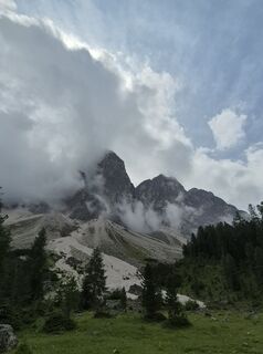 © Oksana ZokhniukCréé le 06.07.2025
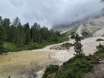 © Oksana ZokhniukCréé le 06.07.2025

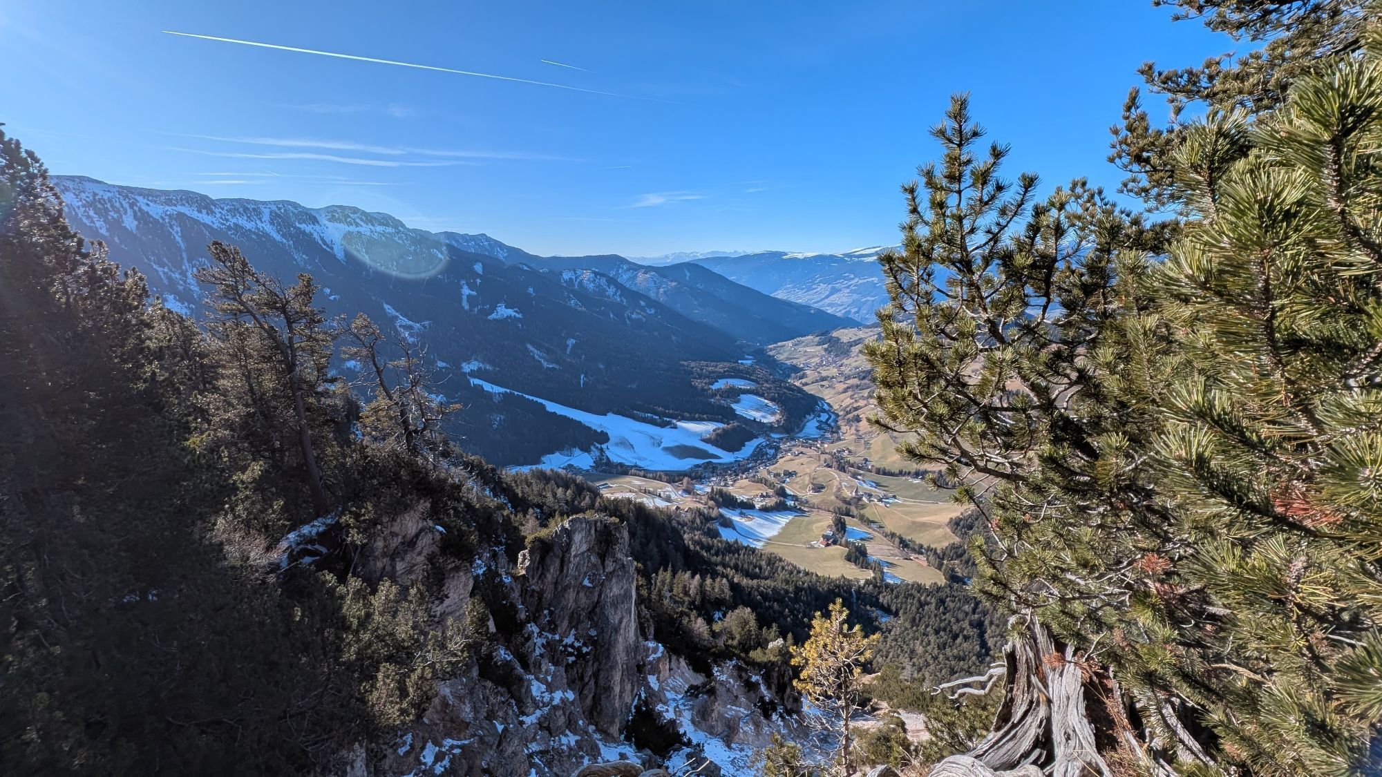

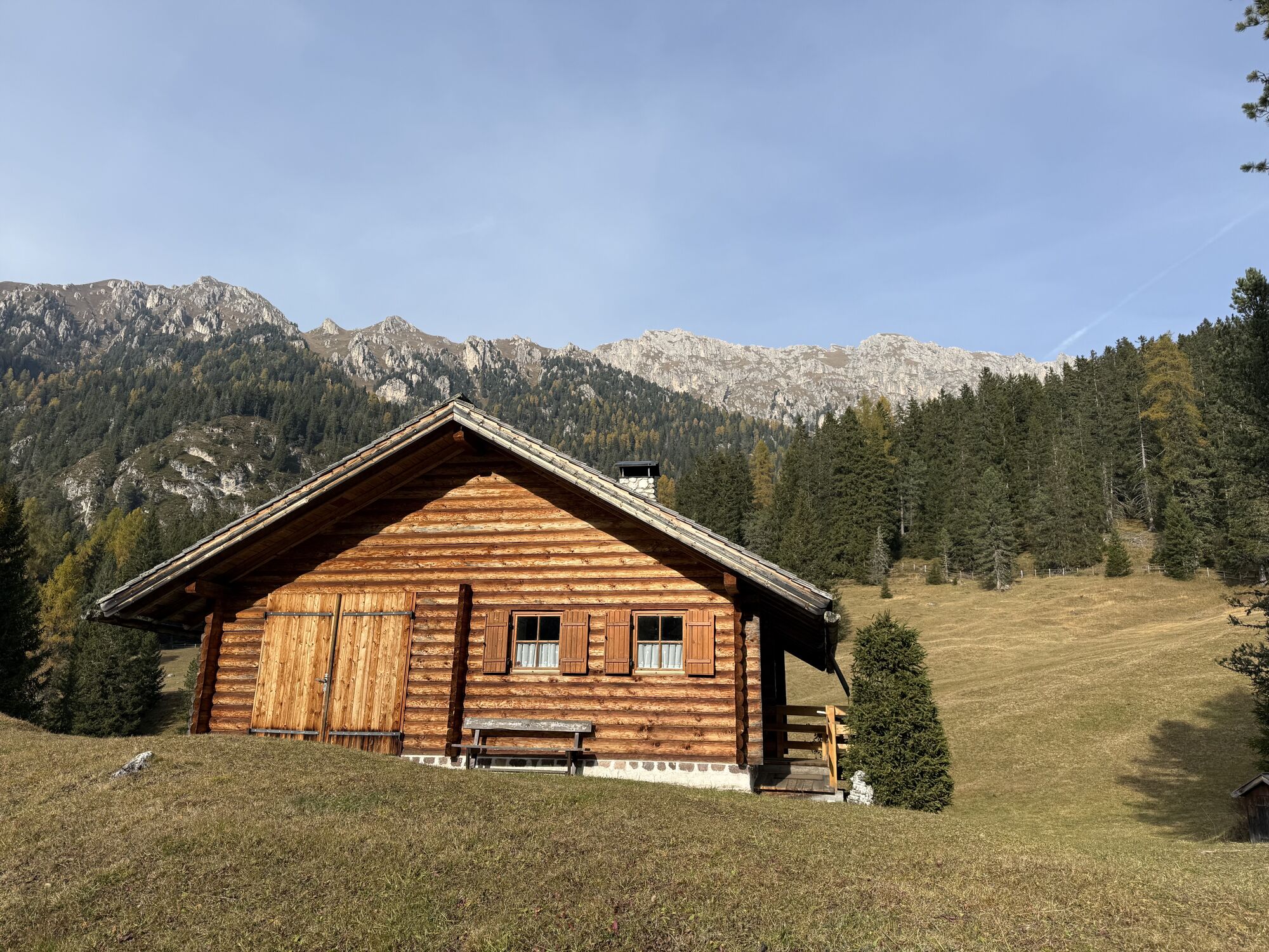


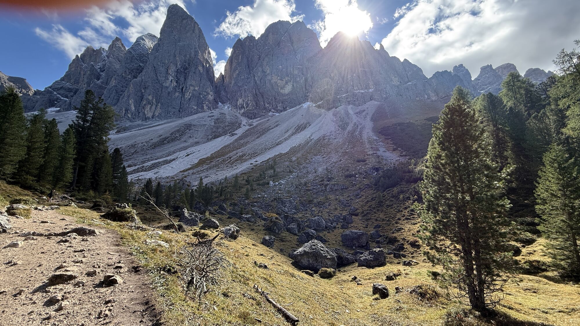
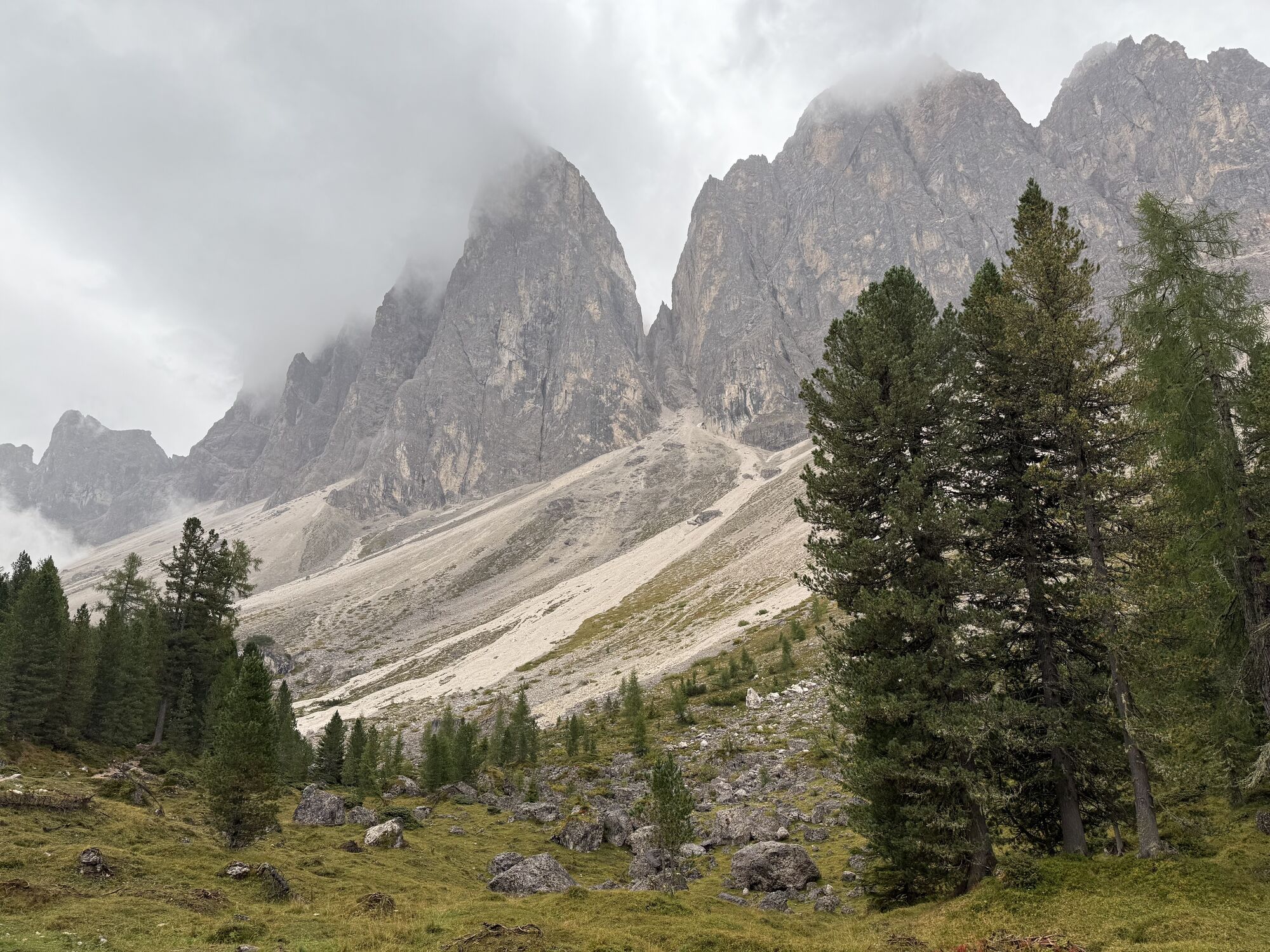

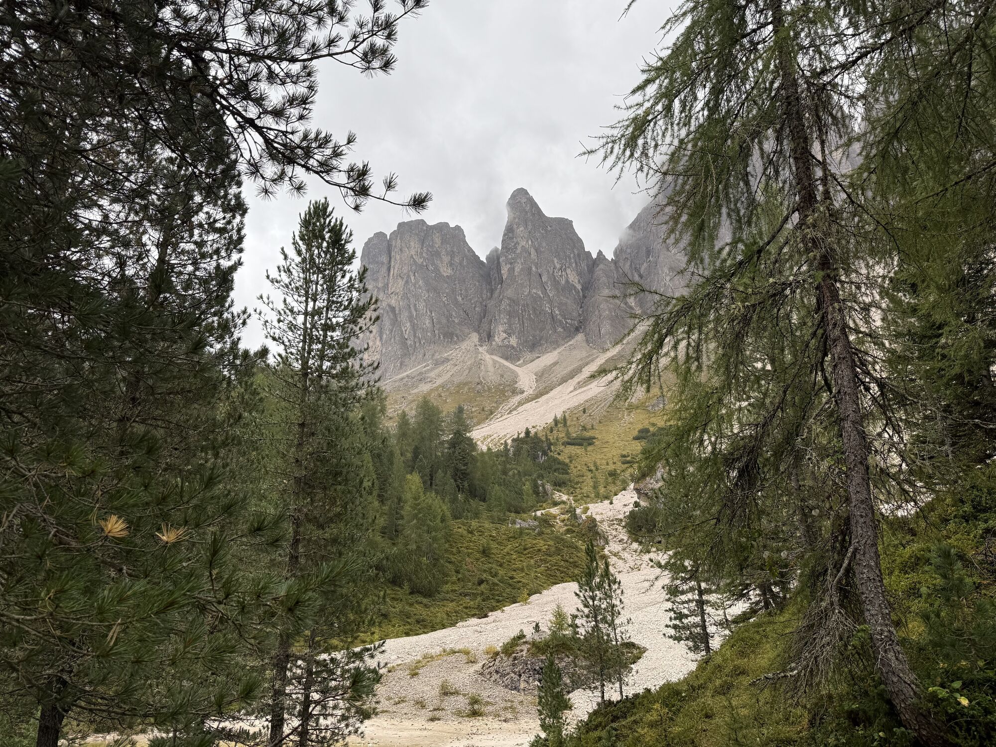


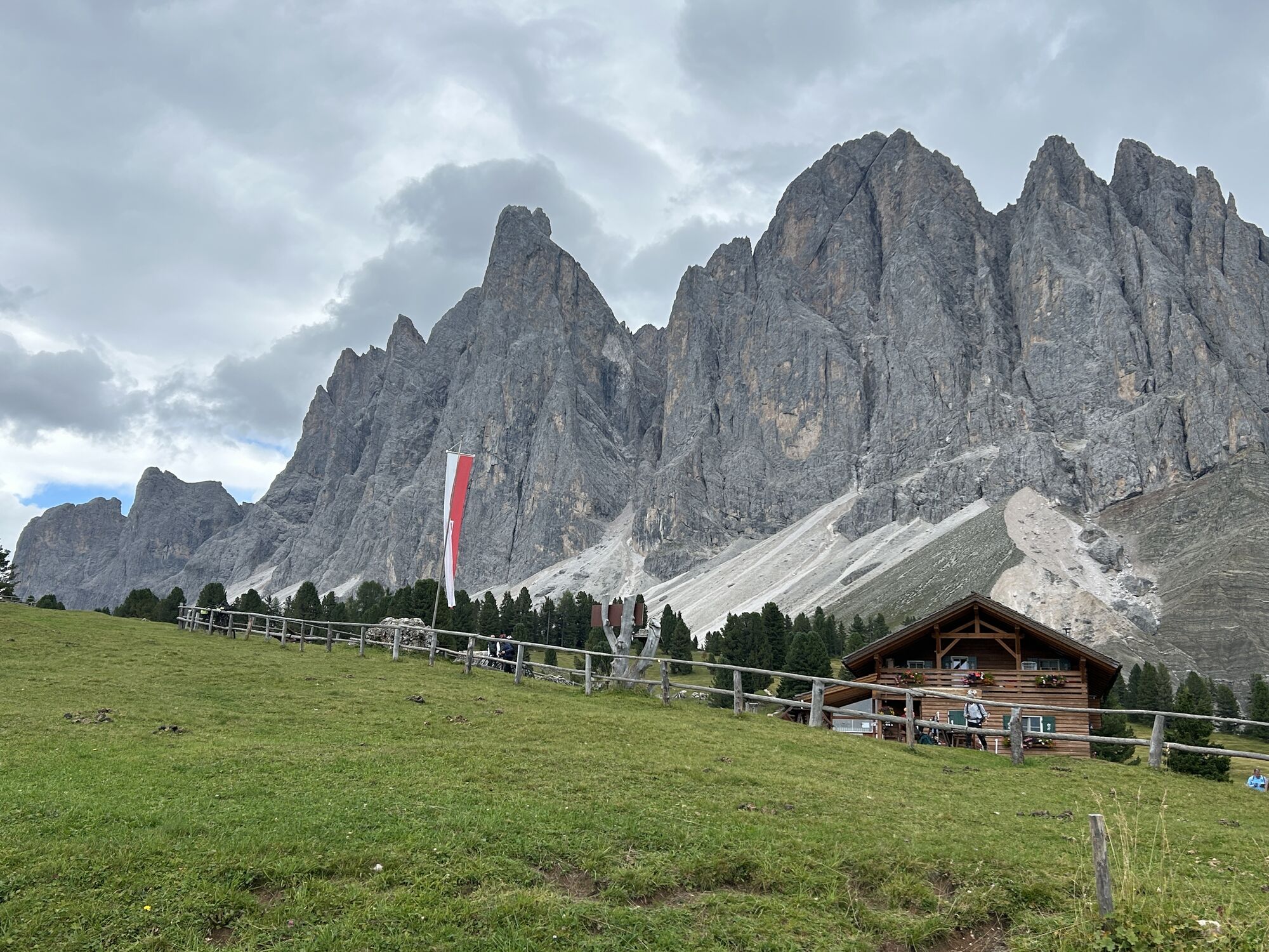


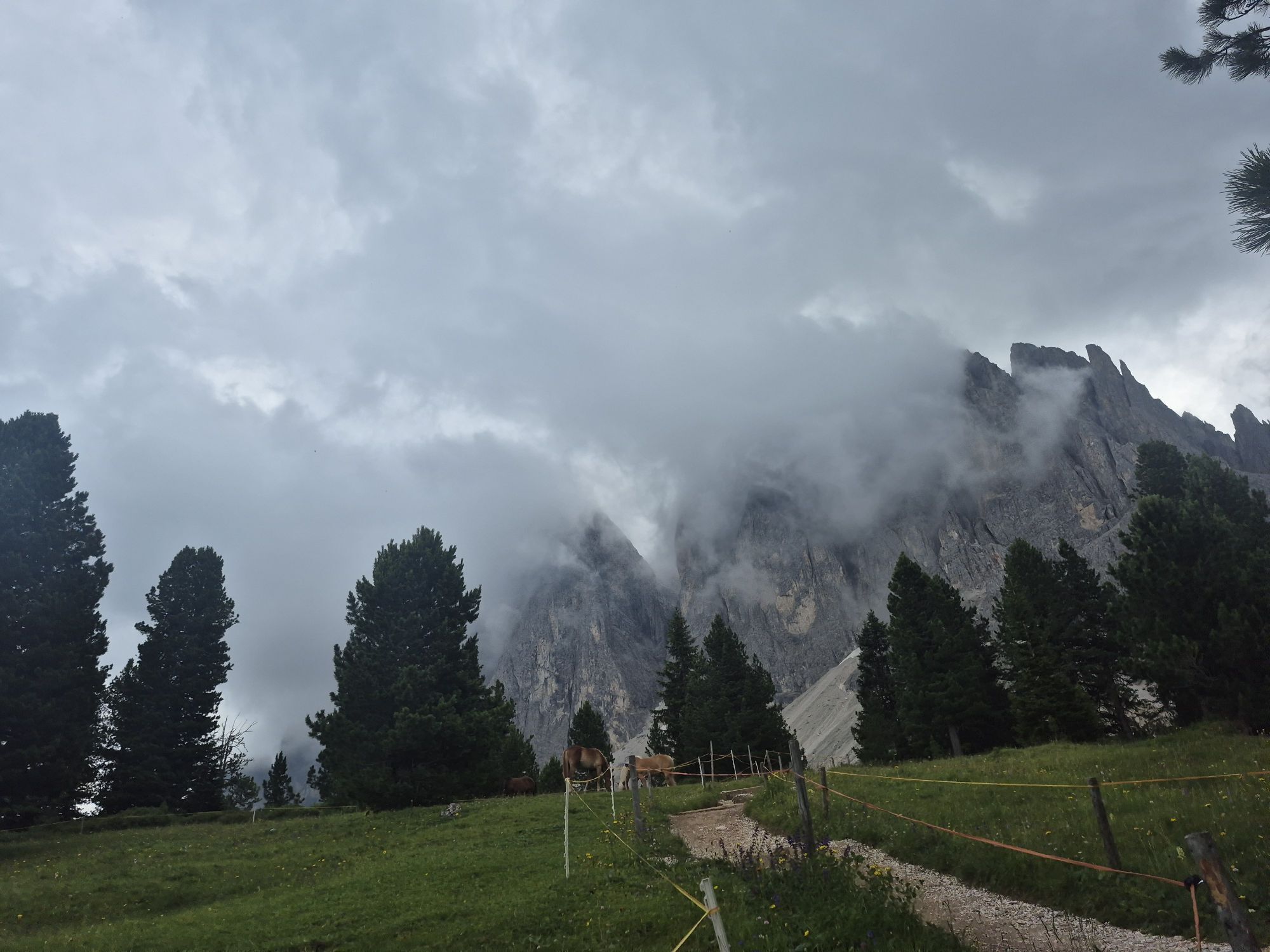

From the car park at the Zanseralm mountain hut (1,680 m) in the Villnösstal Valley, follow the signs to the Zans Nature Trail (Naturerlebnispfad Zans in German) past the Gasthof Sass Rigais Inn (1,689...
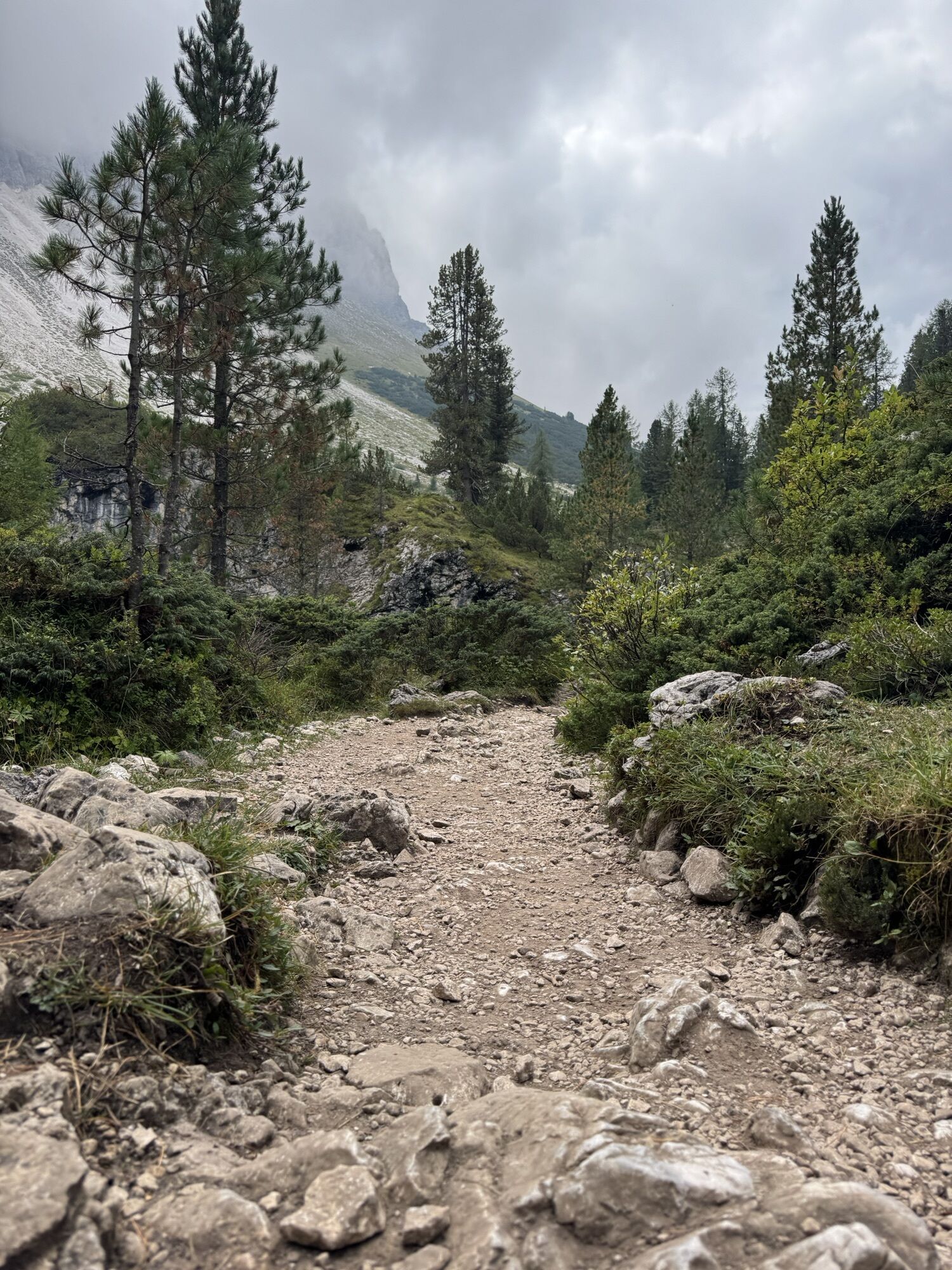
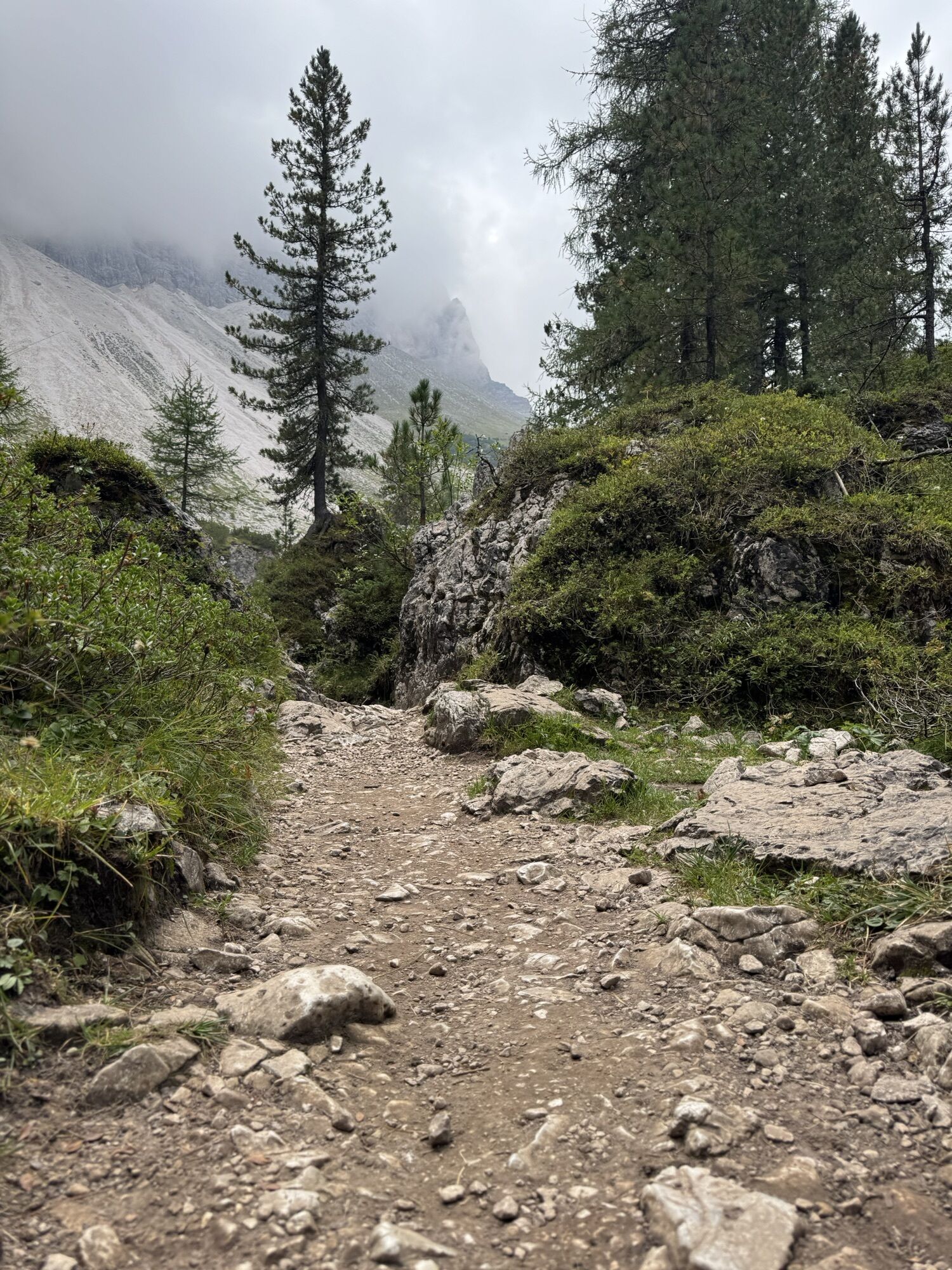
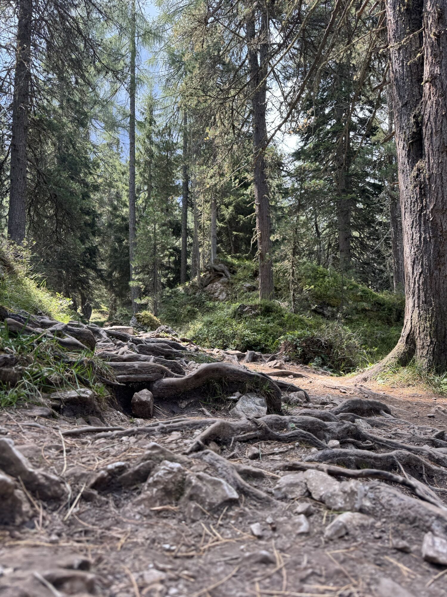
From the car park at the Zanseralm mountain hut (1,680 m) in the Villnösstal Valley, follow the signs to the Zans Nature Trail (Naturerlebnispfad Zans in German) past the Gasthof Sass Rigais Inn (1,689 m) and the Zanser Schwaige mountain hut. Ascend trail no. 32 through a gentle forest track to the right bank of the Tschantschenonbach torrent. At the crossing take the trail to the Gampenalm mountain hut and take a right turn. Just past the bridge turn left over the Tschantschenonbach and follow the sign to the Adolf-Munkel-Weg Trail no. 35. Established in 1905, the hiking trail takes its name from the founder and chairman of the Dresden Section of the German and Austrian Alpine Association.
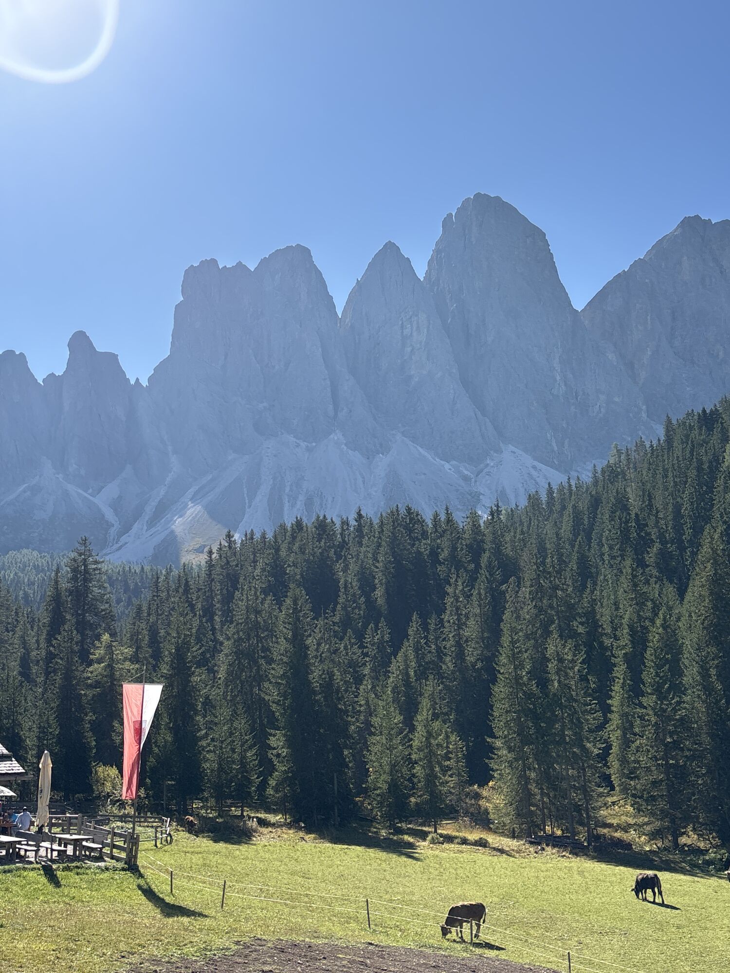
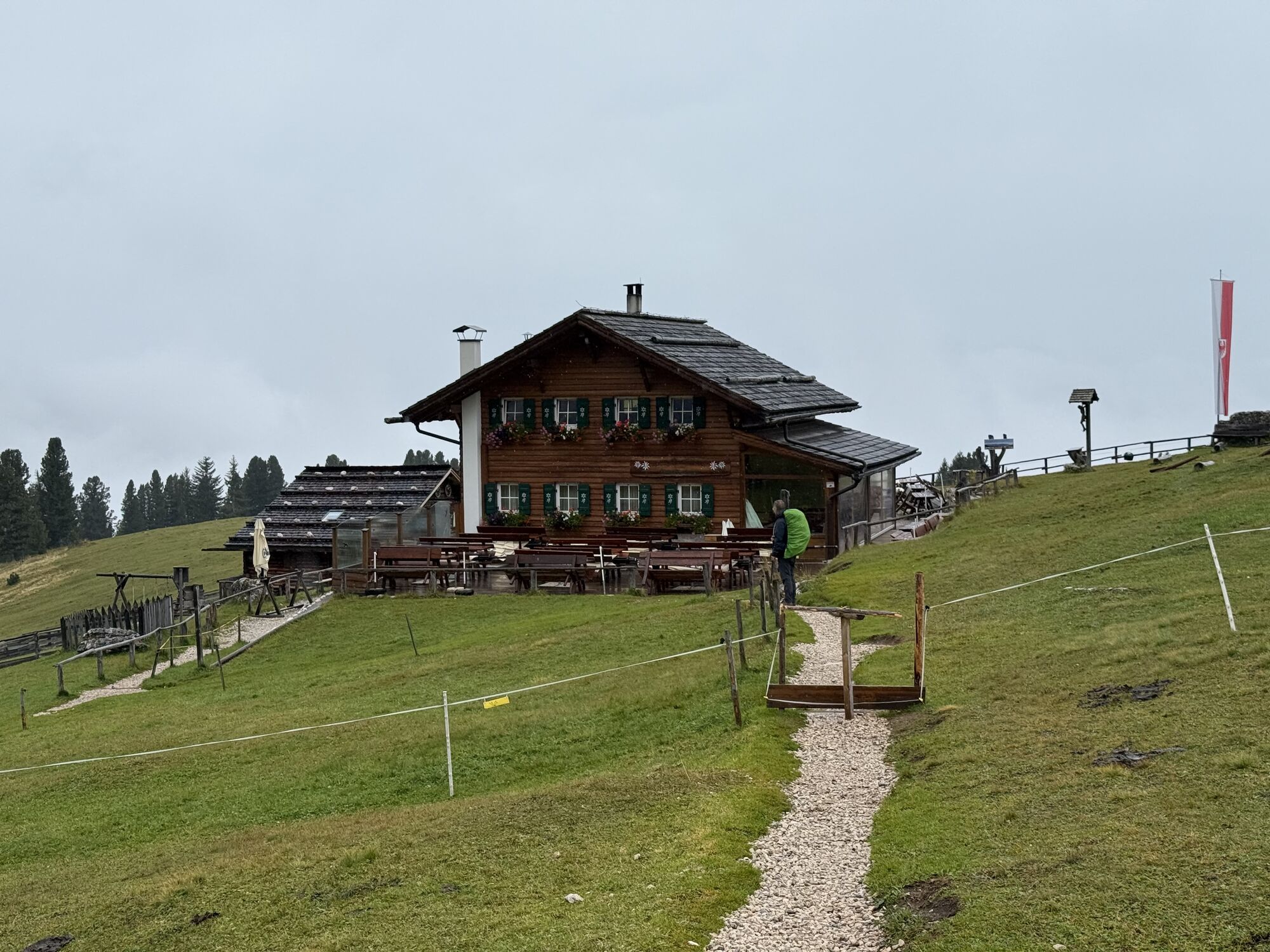
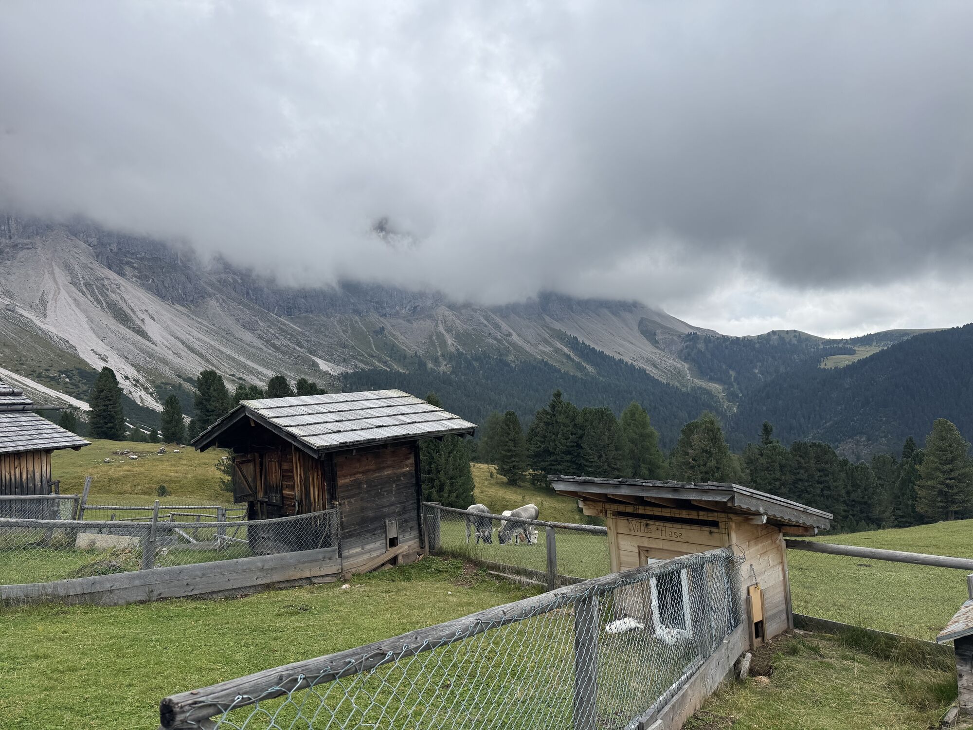
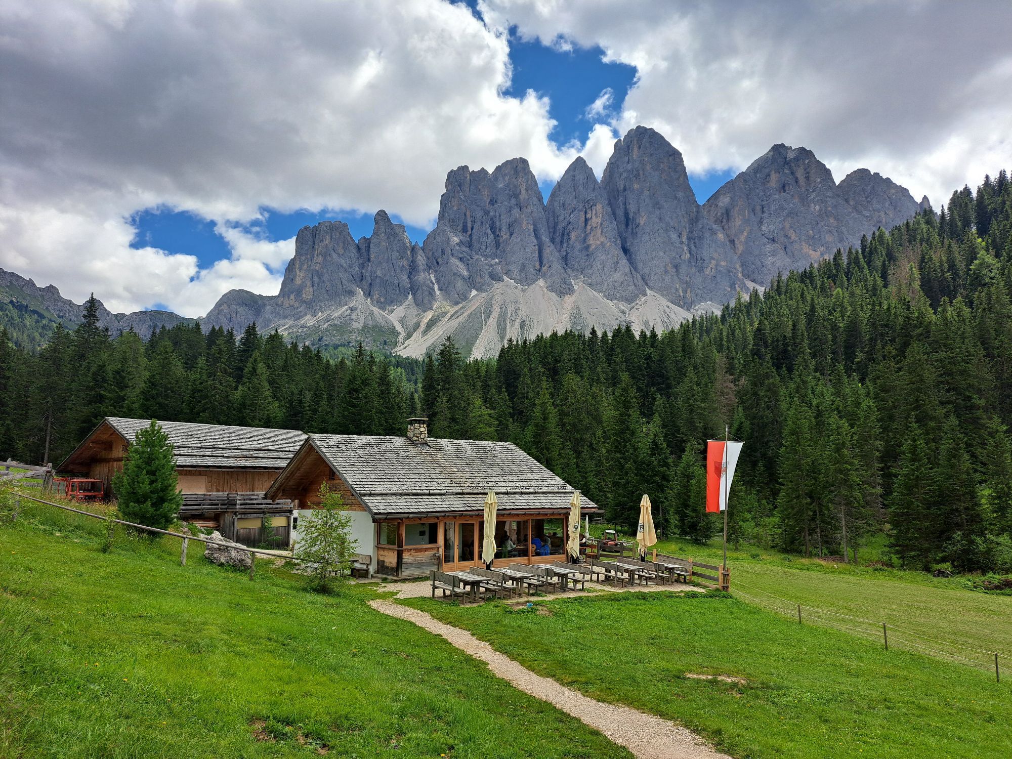
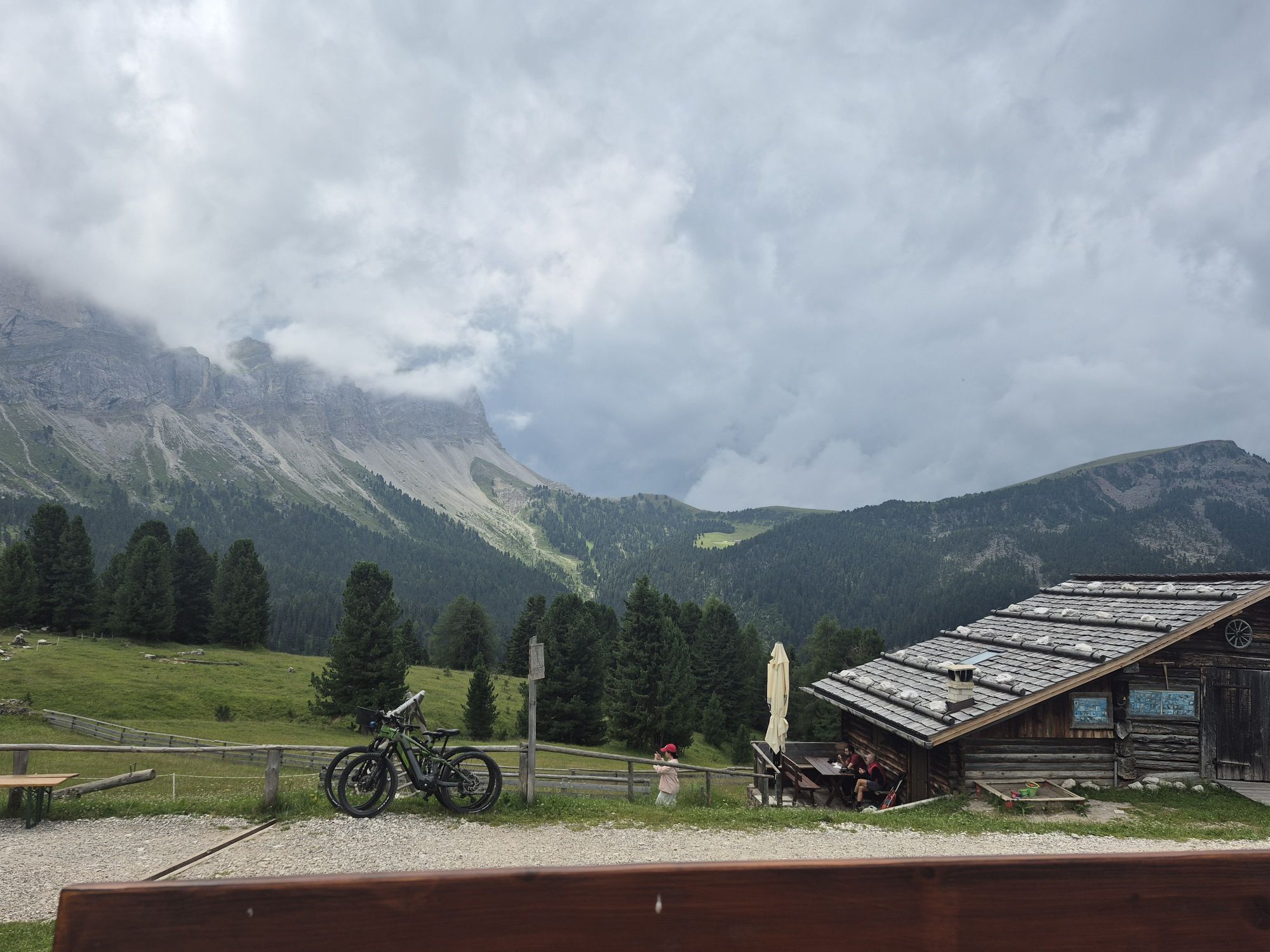
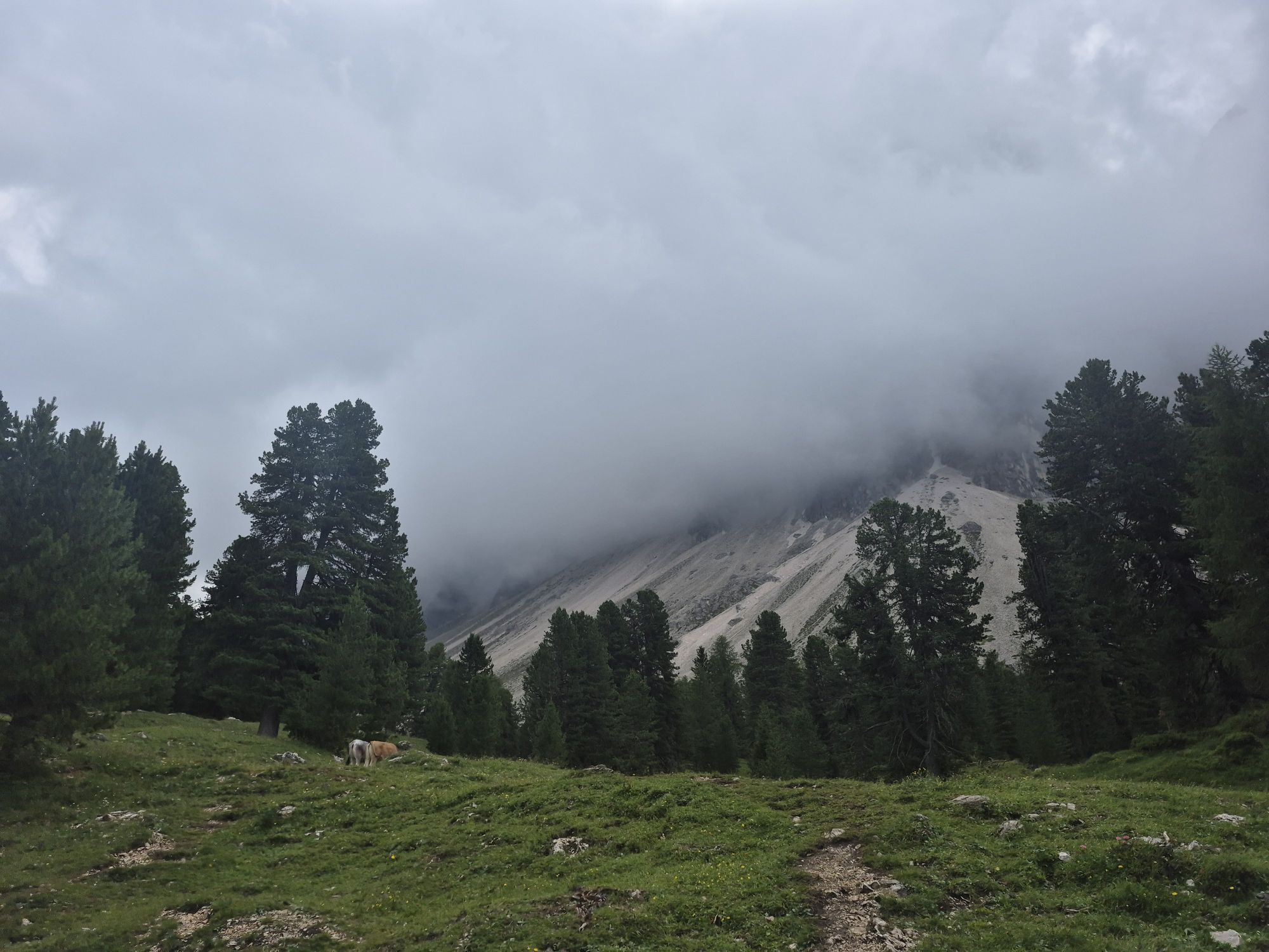
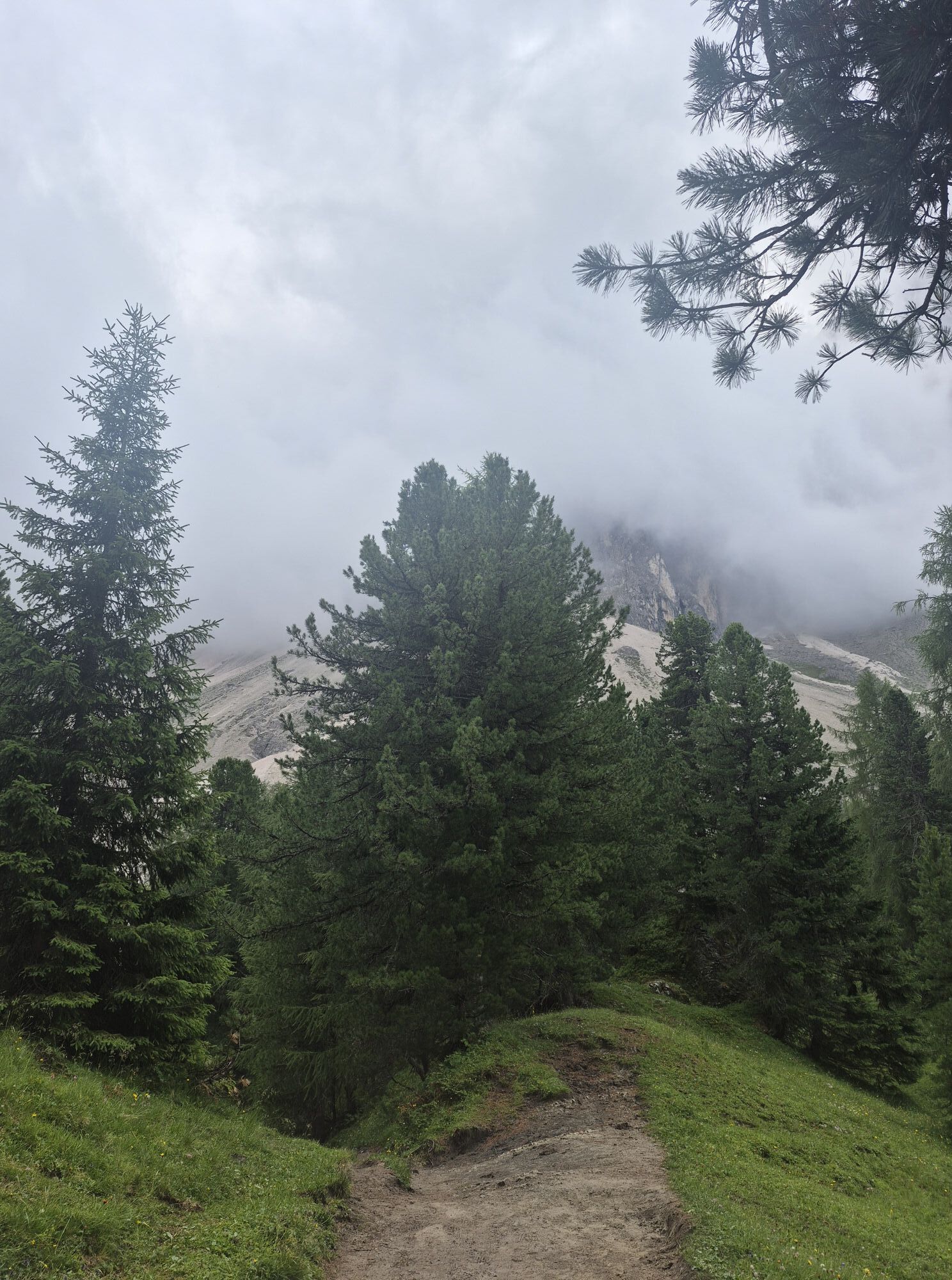
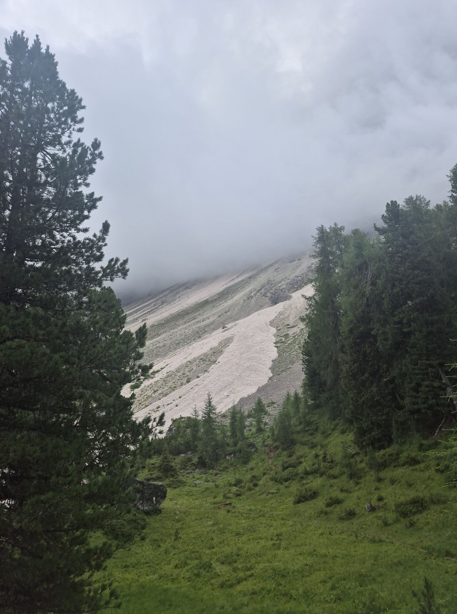
After passing the Adolf-Munkel memorial, the trail bears right to the Gschnagenhardtalm and Geisleralm mountain huts. Descend down through scenic pastures to the Gschnagenhardtalm (2,006 m) and to the Geisleralm (1,996 m).
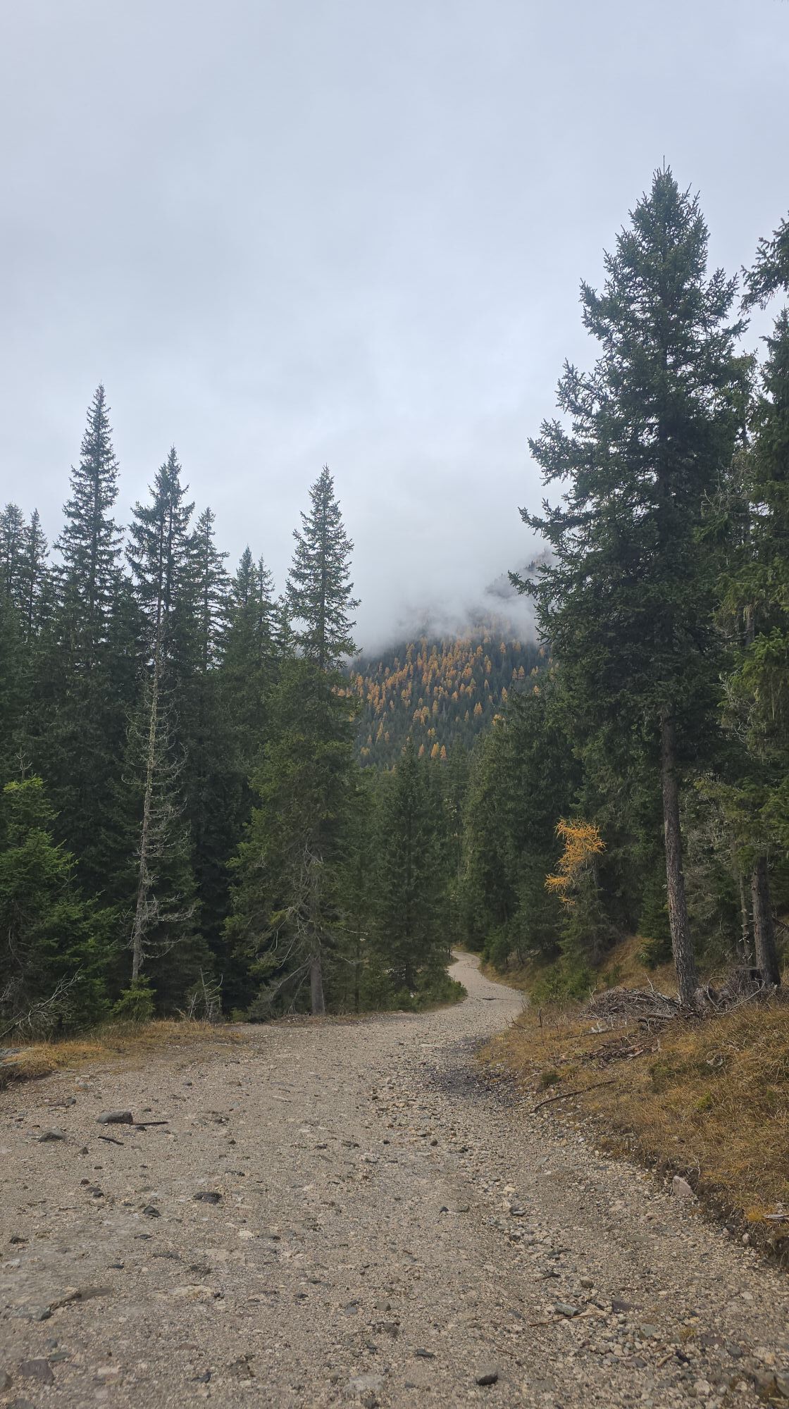
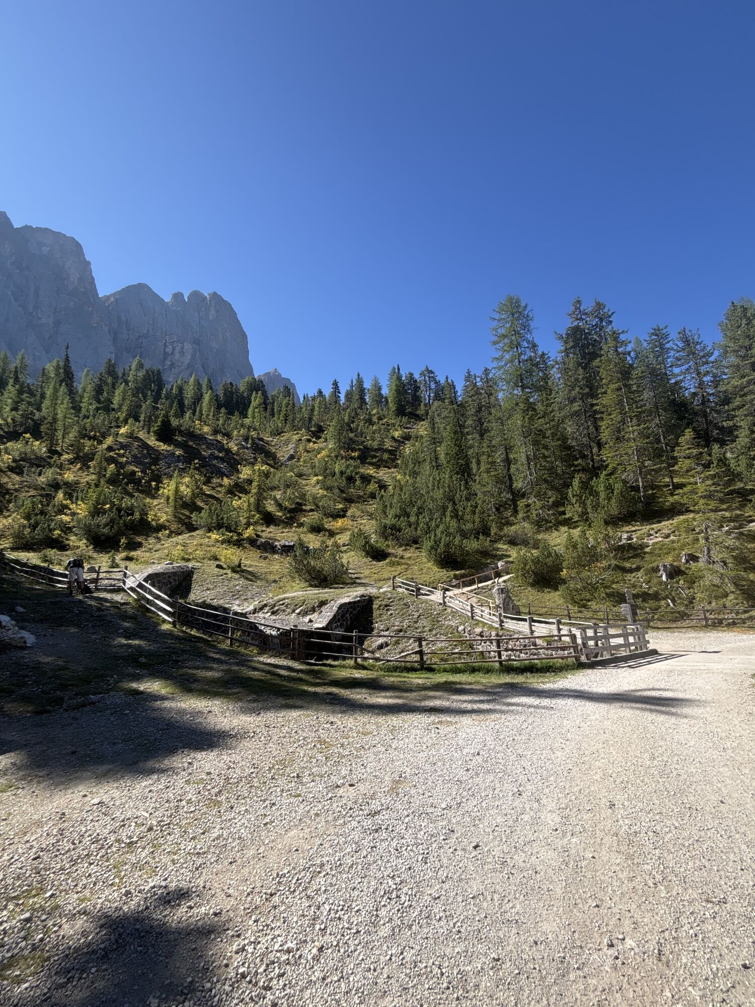
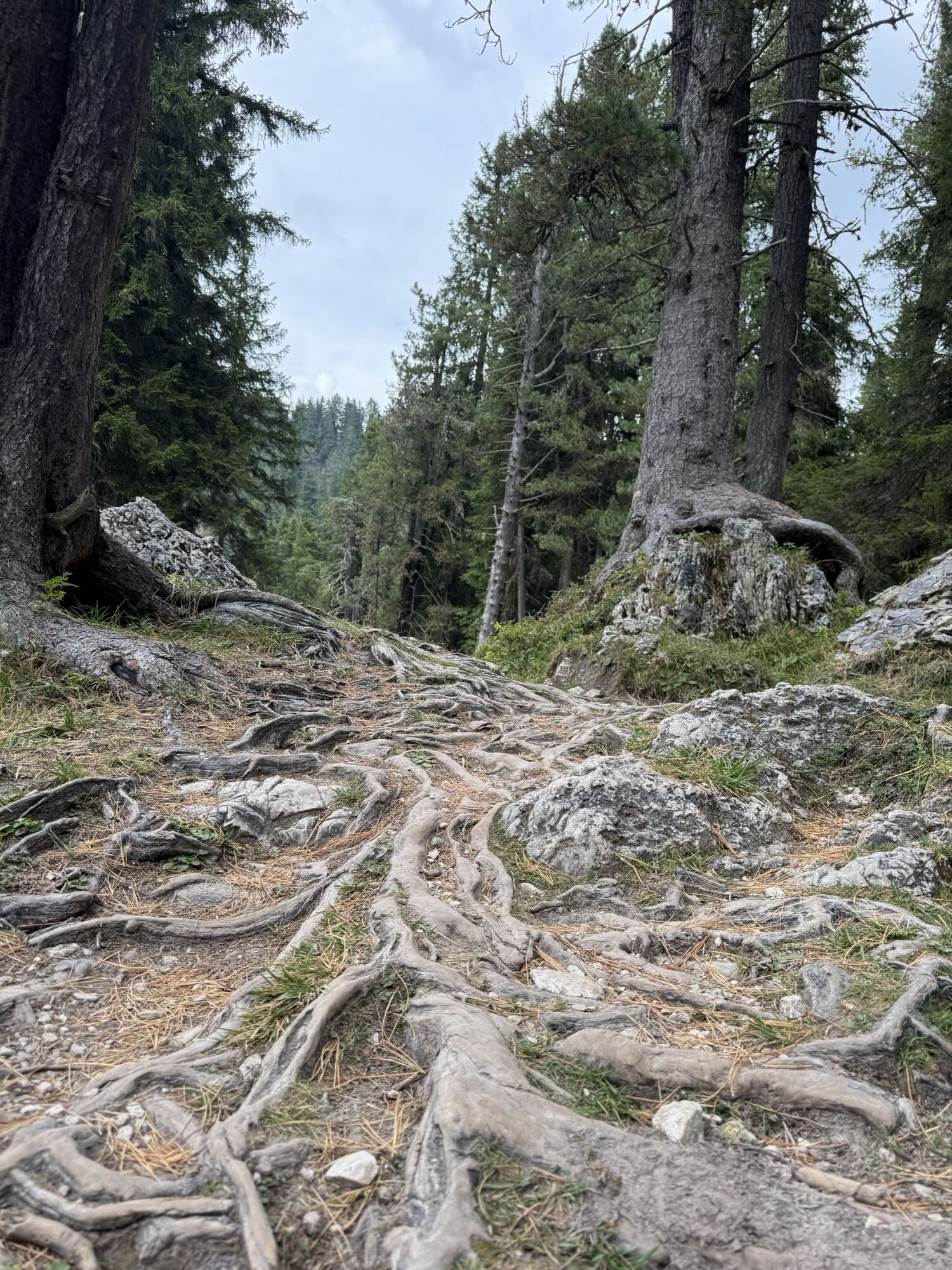
To return, follow trail no. 36 to Duslerhütte – Zans below the Geisleralm playground. The wide track leads gently downhill to the Dusleralm (1,782 m) past a fork to the right towards Zans. Shortly after, the trail continues along an almost flat forest path that leads back to the car park in Zans.

Oui
Activités le long du parcours

Villnöß - Funes, Trentino-Alto Adige/Südtirol/Italia
01.05.2026 – RandonnéeFunes, Trentino-Alto Adige/Italia
23.02.2026 – RandonnéeVillnöß, Trentino-Südtirol/Italien
29.10.2025 – Randonnée
Villnöß, Trentino-Südtirol/Italien
08.10.2025 – Randonnée
Villnöß, Trentino-Südtirol/Italien
06.10.2025 – RandonnéeGeislerspitzen
29.09.2025 – RandonnéeVillnöß, Trentino-Südtirol/Italien
19.09.2025 – RandonnéeVillnöß, Trentino-Südtirol/Italien
07.09.2025 – RandonnéeFunes, Trentino-Alto Adige/Italia
13.08.2025 – Randonnée
Villnöß - Funes, Trentino – Alto Adige/Südtirol/Italy
06.07.2025 – Randonnée
Parcours populaires à proximité
- 4,6
Passo Pordoi - Sass Pordoi - Forcella Pordoi - Piz Boè - Refuge Boè - Forcella Pordoi - Passo Pordoi
difficileRandonnée 8,39 km - 4,9
Lang- und Plattkofel Umrundung
moyenRandonnée 17,5 km - 4,8
Langkofel-Umrundung
moyenRandonnée 12,9 km - 4,6
Puflatsch Umrundung
facileRandonnée 8,37 km - 5,0
Langkofel Klettersteig/Ferrata Furcela de Saslonch
difficileVia ferrata 7,07 km - 5,0
Um den Langkofel
moyenRandonnée 9,76 km - 4,4
Three summits tour on the Plose above Brixen
moyenRandonnée 12,8 km - 3,8
Der Friedrich-August-Weg
moyenRandonnée 10,4 km - 4,4
Dolomiten Sellagruppe, Alb. Col di Lana, Sas de Pordoi, Piz Boé retour 22.06.2016
moyenRandonnée 5 km - 4,3
Seceda und Regensburger Hütte
moyenRandonnée 14,1 km

Randonnée et suivi


Ne manquez pas les offres et l'inspiration pour vos prochaines vacances
Votre adresse électronique a été ajouté à la liste de diffusion.