


Via Vinum Venostis
Photos de nos utilisateurs
-
 © ottiperkCréé le 06.11.2025
 -
 © ottiperkCréé le 06.11.2025
 -
 © ottiperkCréé le 06.11.2025
 -
 © Matthias MallCréé le 19.08.2025
 -
 © Matthias MallCréé le 19.08.2025
 -
 © Matthias MallCréé le 19.08.2025
 -
 © Maik GrapentinCréé le 27.07.2025
 -

 © Hans-Dieter EmilCréé le 09.06.2025
 -
 © Peter SchäferCréé le 06.05.2025
 -
 © Peter SchäferCréé le 06.05.2025
 -
 © Peter SchäferCréé le 01.05.2025
 -
 © Peter SchäferCréé le 01.05.2025
 -
 © Peter SchäferCréé le 01.05.2025
 -
 © Peter SchäferCréé le 01.05.2025
 -
 © Peter SchäferCréé le 01.05.2025
 -
 © Peter SchäferCréé le 01.05.2025
 -
 © Peter SchäferCréé le 01.05.2025
 -
 © Peter SchäferCréé le 01.05.2025
 -
 © Peter SchäferCréé le 01.05.2025


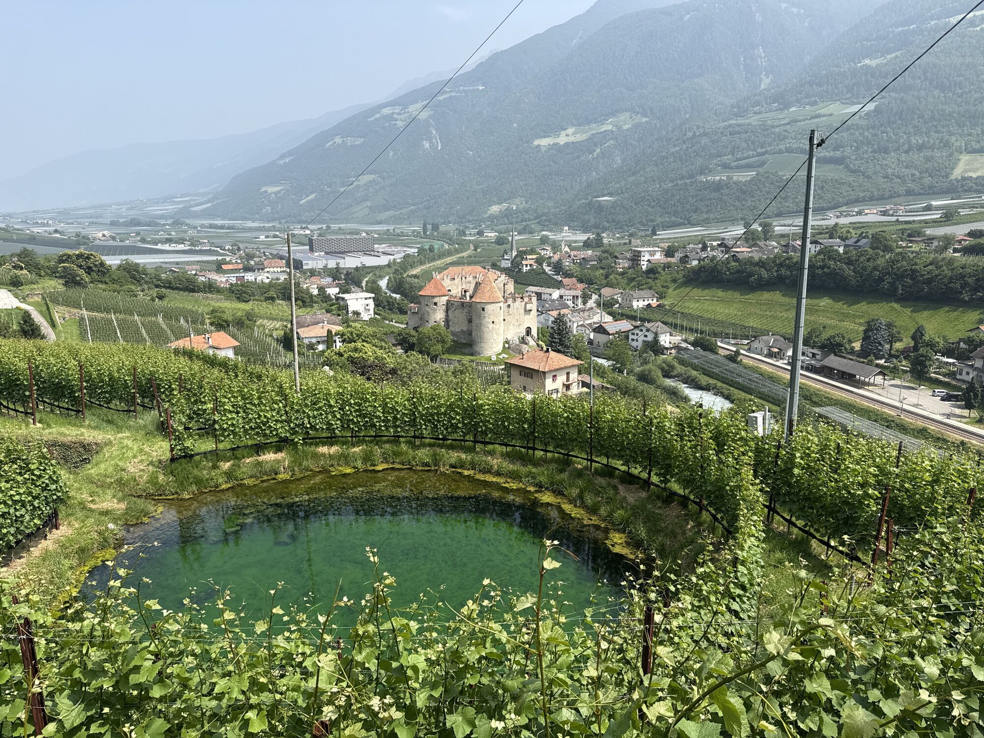
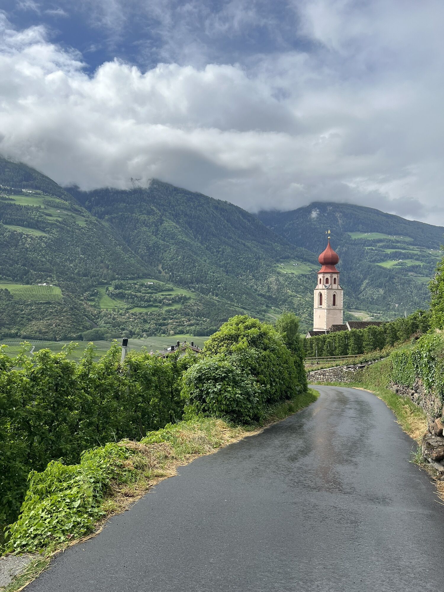


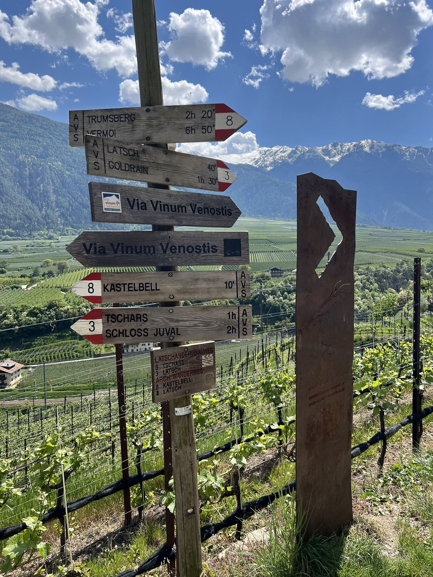
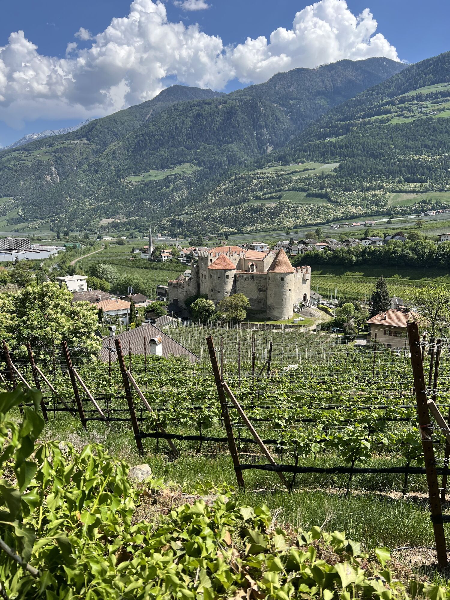
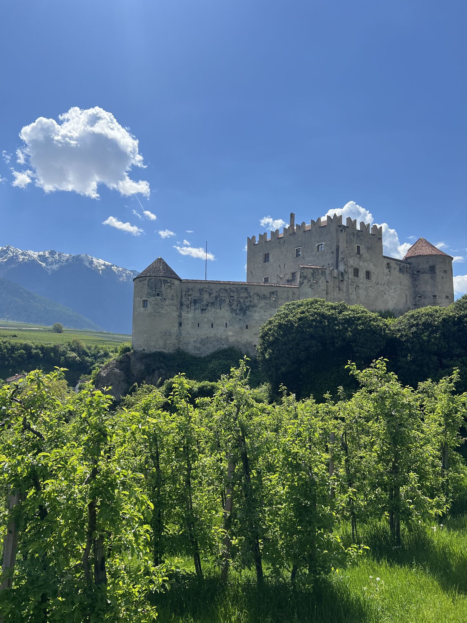

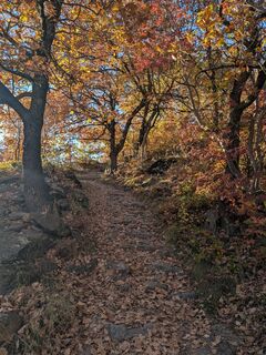
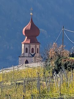
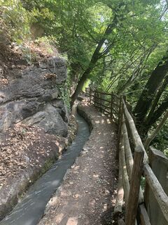
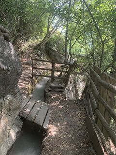
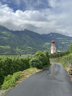
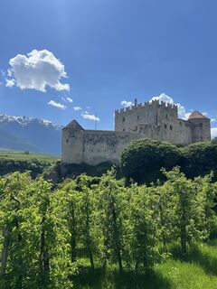
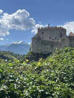
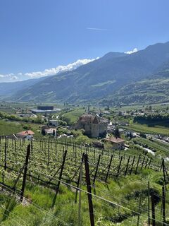
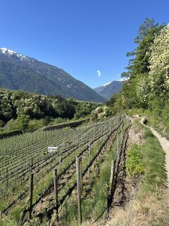
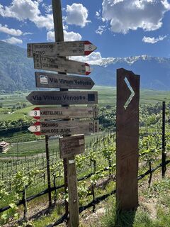
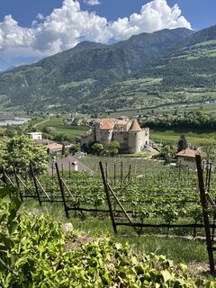
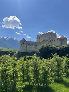
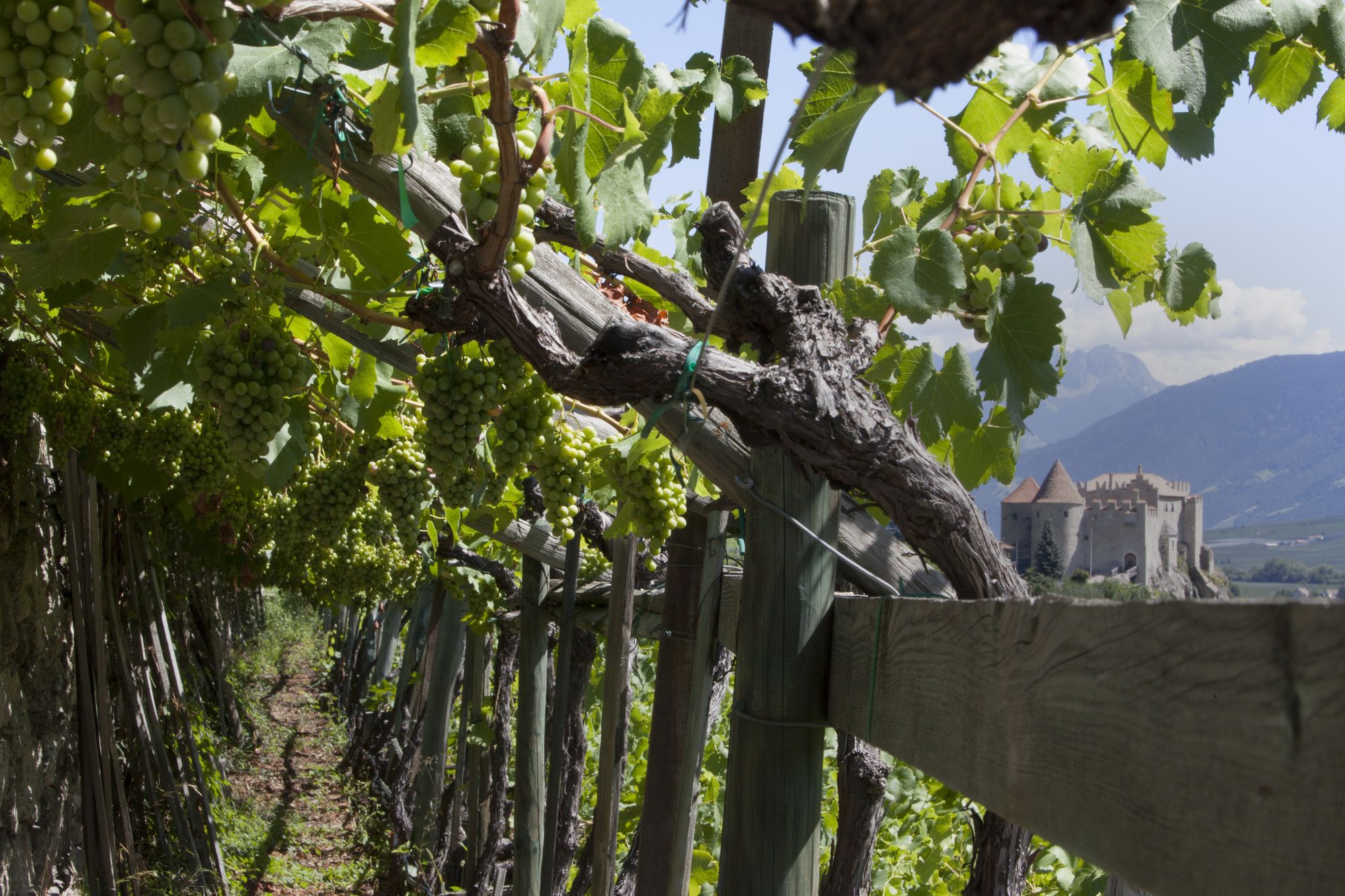
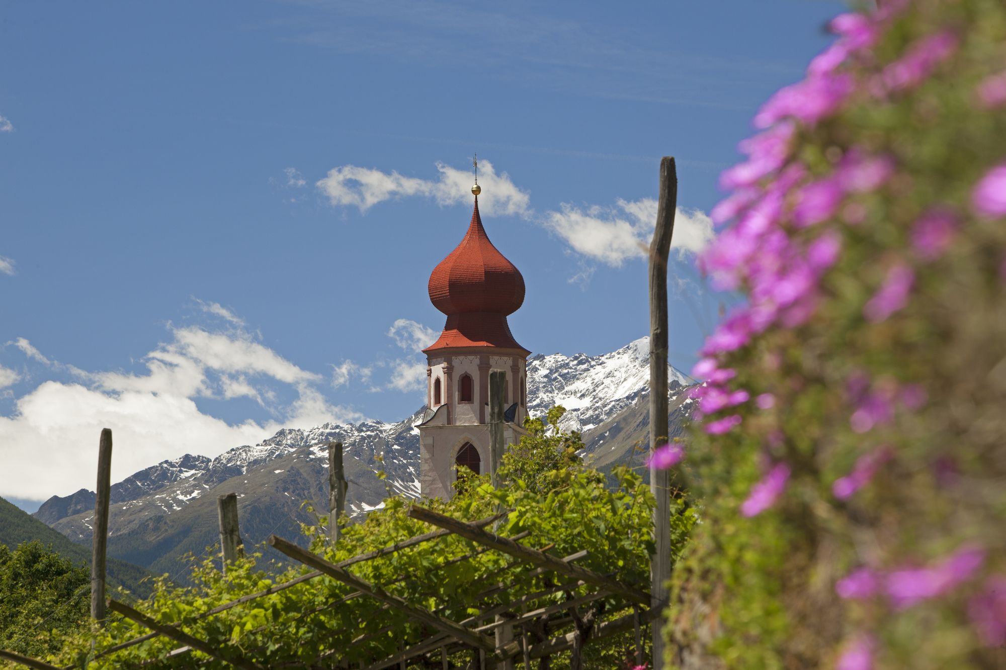
Castelbello is considered the "village of connoisseurs" among Val Venosta's municipalities. Wine-growing characterizes Lower Val Venosta and the area in and around Castelbello-Ciardes. The new theme path...
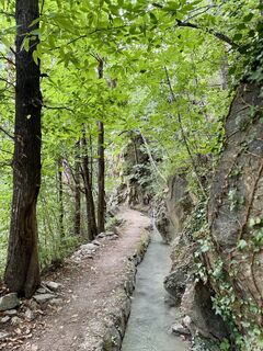
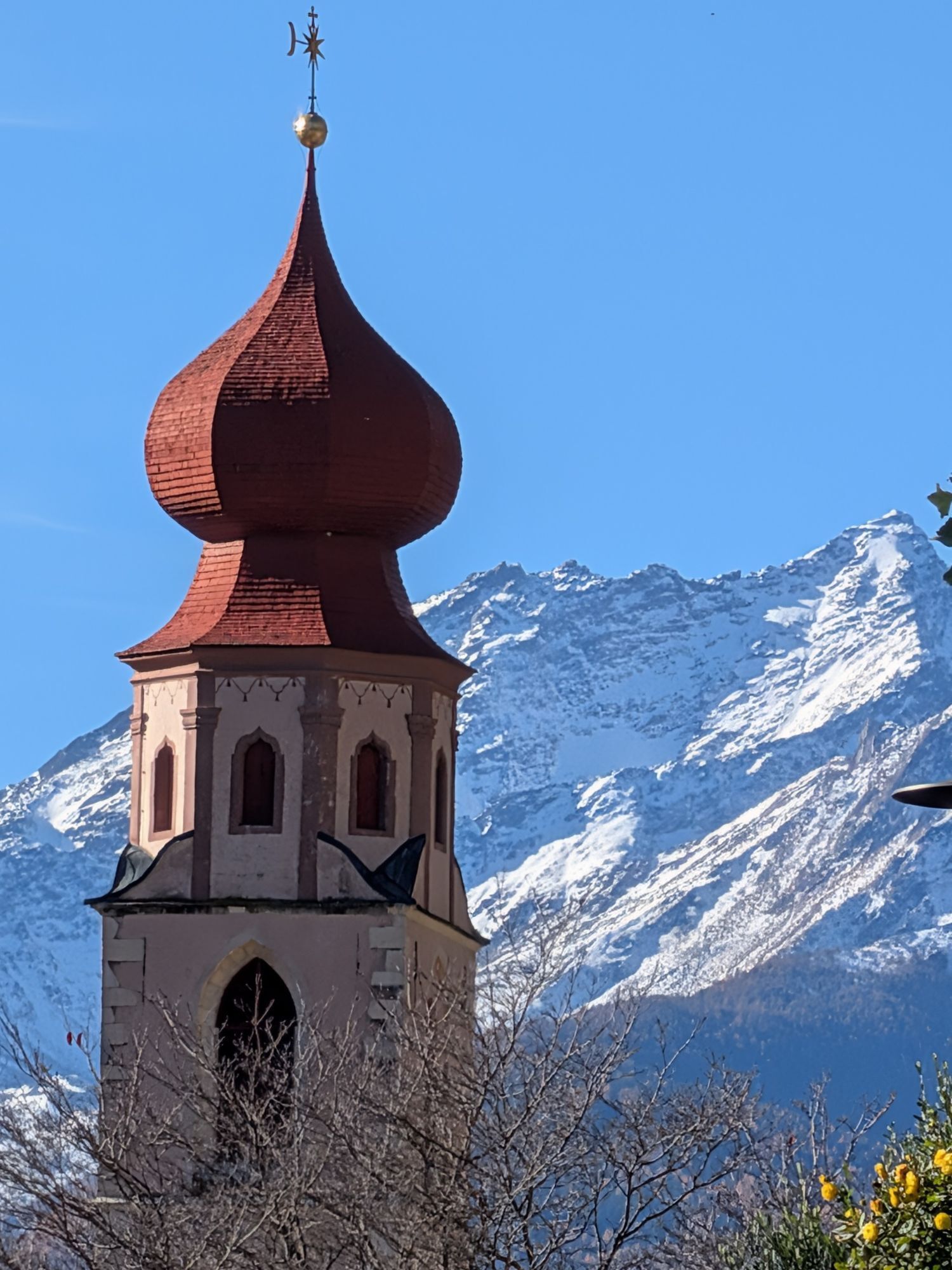
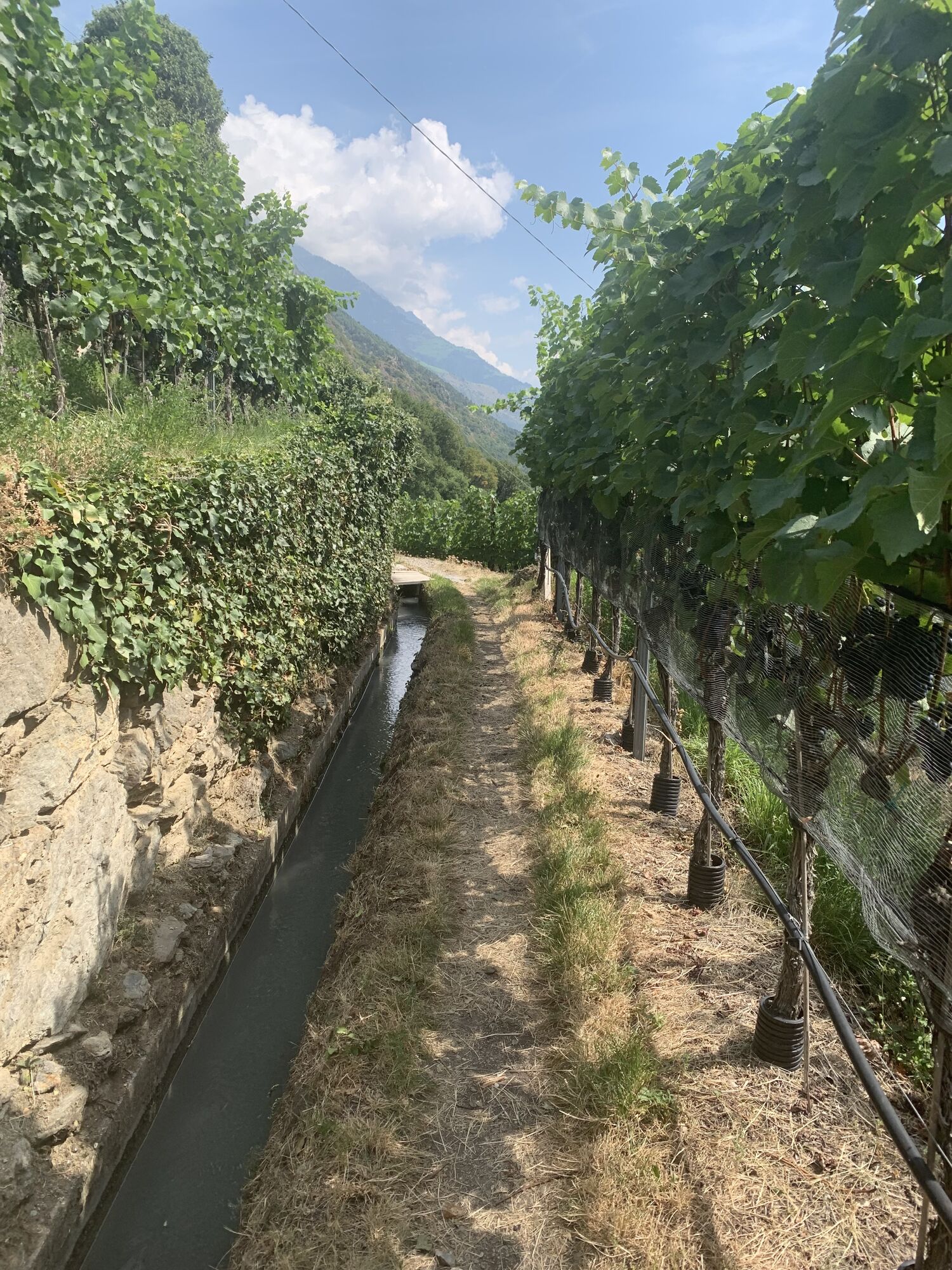
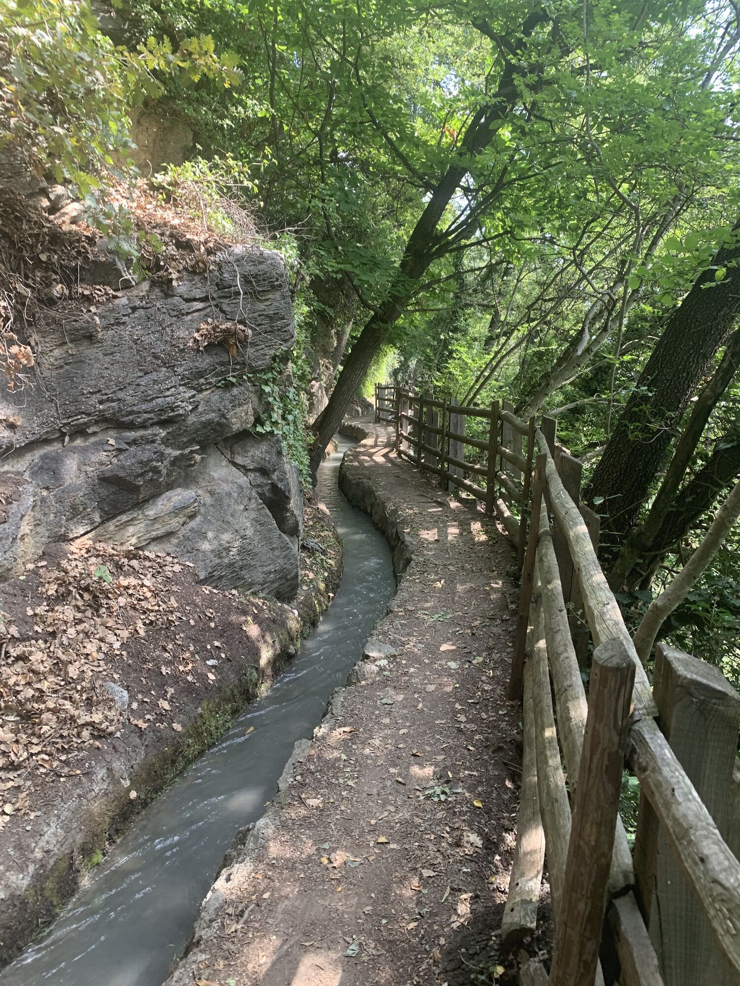
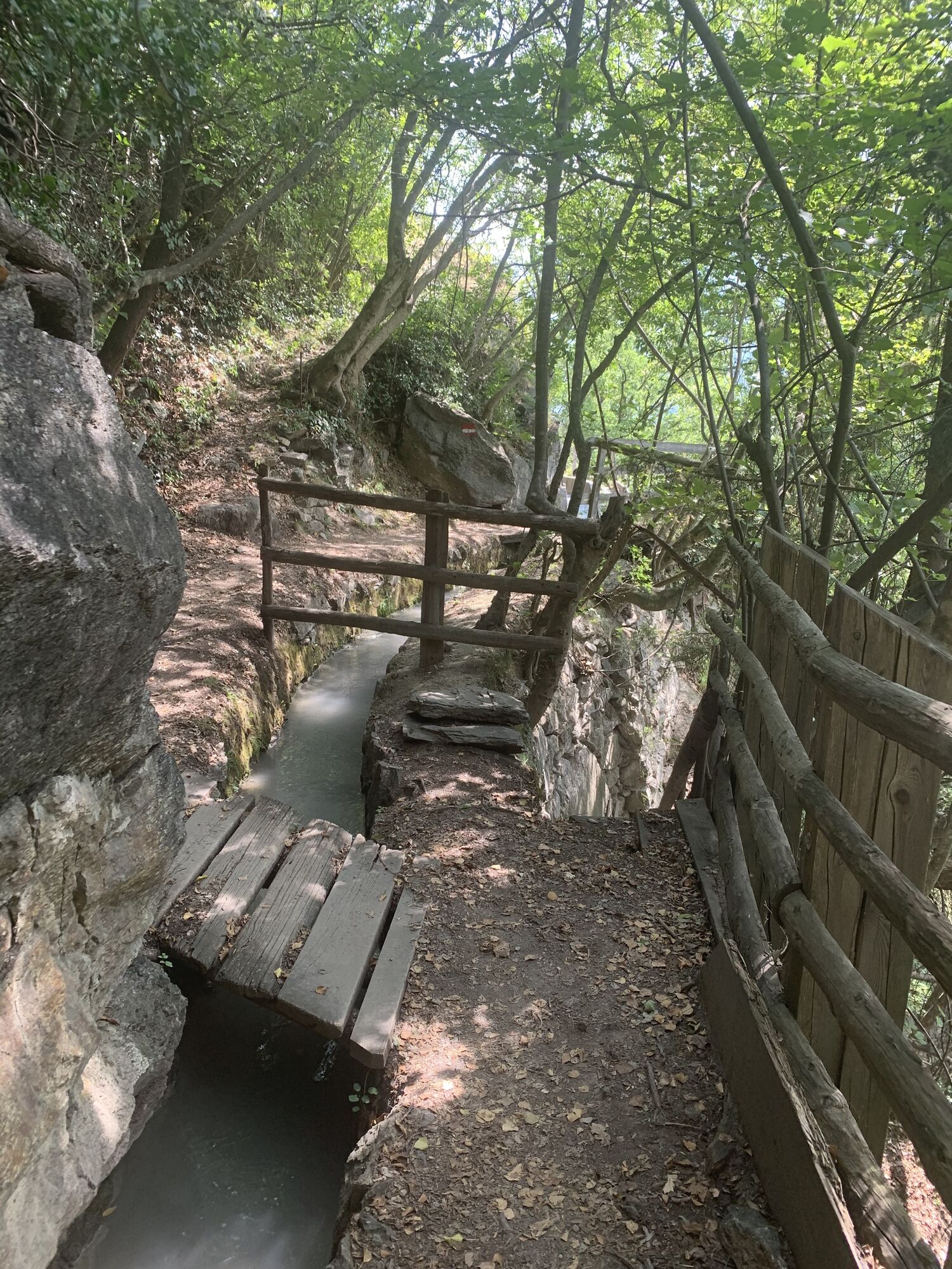
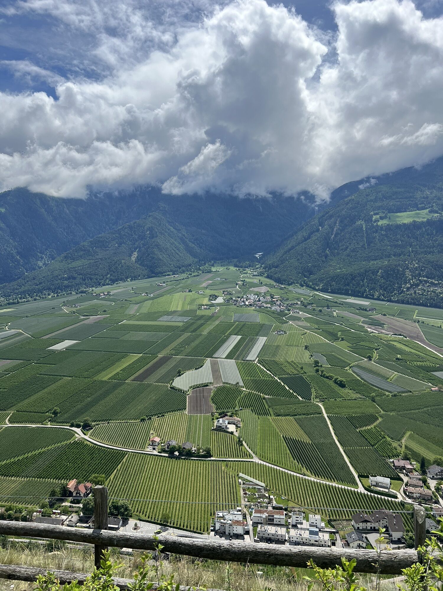
Castelbello is considered the "village of connoisseurs" among Val Venosta's municipalities. Wine-growing characterizes Lower Val Venosta and the area in and around Castelbello-Ciardes. The new theme path provides an insight into viniculture and wine history and spans an arc between agriculture and gastronomy. Different information panels describe local grape varieties, landscape and culinary specialties. The Val Venosta wine path is perfectly walkable from Easter to November and takes you along the irrigation channel paths (Latschander irrigation channel path and Senales irrigation channel paths) over long distances. This hike of about 2.5 hours can be made in both directions and it is also possible to choose specific sections only.
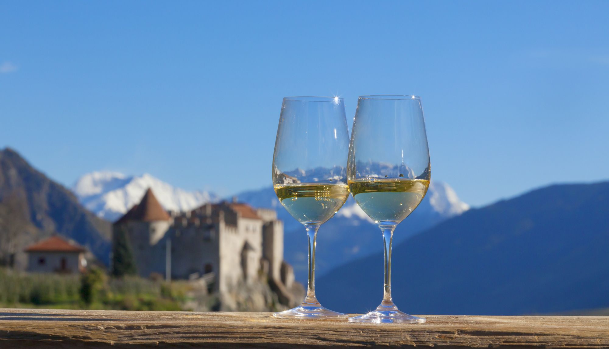

Pfraum, restaurants at Castelbello-Ciardes, Restaurant Hotel Himmelreich, Himmelreich-Hof, Schlosswirt Juval
Train station Castelbello
Webcams de la tournée
Parcours populaires à proximité
-
4,3
Vorderkaser - Eishof / Texelgruppe
facileRandonnée 4,83 km -
4,5
Aschbach / Rio Lagundo – Naturnser Alm mountain pasture - Vigiljoch/San Vigilio
moyenRandonnée 10,3 km -
4,8
Naturns Unterstellbahn bis Texelbahn auf dem Meraner Höhenweg
moyenRandonnée 9,77 km -
4,1
Vernagt-Stausee (Seerundgang)
facileRandonnée 6,70 km -
4,2
Rundweg Vernagter See plus Einkehr Finailhof
moyenRandonnée 8,73 km -
5,0
From Algund/Lagundo to the Schlundenstein rock and Plars Waalweg canal trail to Parcines
facileRandonnée 10,7 km -
4,9
Pfossental - vom Vorderkaser auf die Stettinerhütte
moyenRandonnée 23,7 km -
4,5
Schloss Juval
facileRandonnée 9,78 km -
4,5
Wanderung zum Partschinser Wasserfall
facileRandonnée 6,46 km -
4,5
Tarschersee Runde
moyenRandonnée 9,62 km
Randonnée et suivi


Ne manquez pas les offres et l'inspiration pour vos prochaines vacances
Votre adresse électronique a été ajouté à la liste de diffusion.