


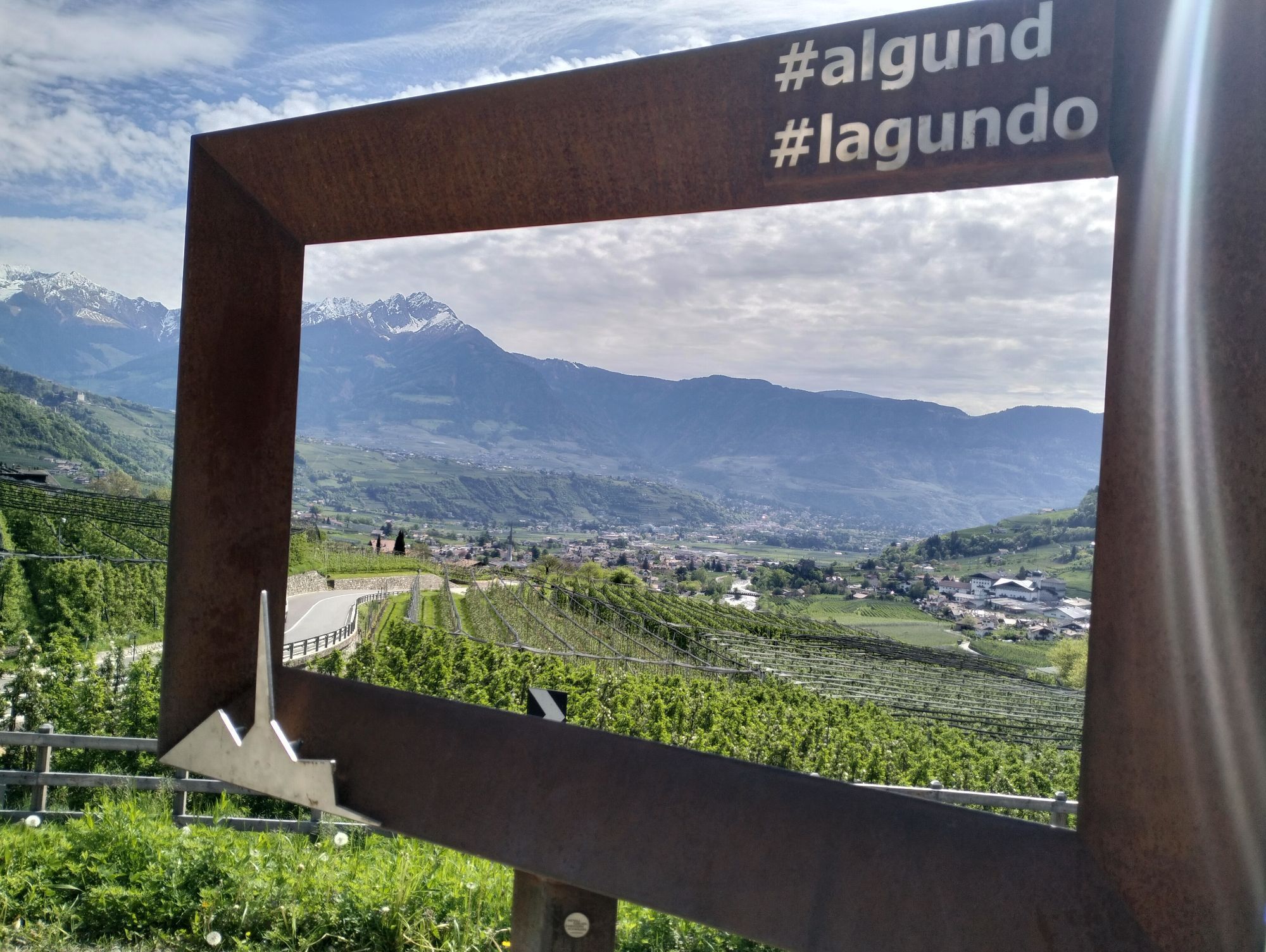
From Algund/Lagundo to the Schlundenstein rock and Plars Waalweg canal trail to Parcines
Photos de nos utilisateurs
-
 © Gerald RohrbacherCréé le 11.04.2026
 -
 © Gerald RohrbacherCréé le 11.04.2026
 -
 © rgclCréé le 11.04.2026
 -
 © Thorsten JanottaCréé le 28.09.2025
 -
 © Eva TheißCréé le 24.07.2025
 -
 © Eva TheißCréé le 20.07.2025
 -
 © Daniel VoelkerCréé le 29.04.2025
 -
 © Norbert HerbigCréé le 20.05.2023
 -
 © Walter TinkhauserCréé le 22.04.2025
 -
 © Walter TinkhauserCréé le 22.04.2025

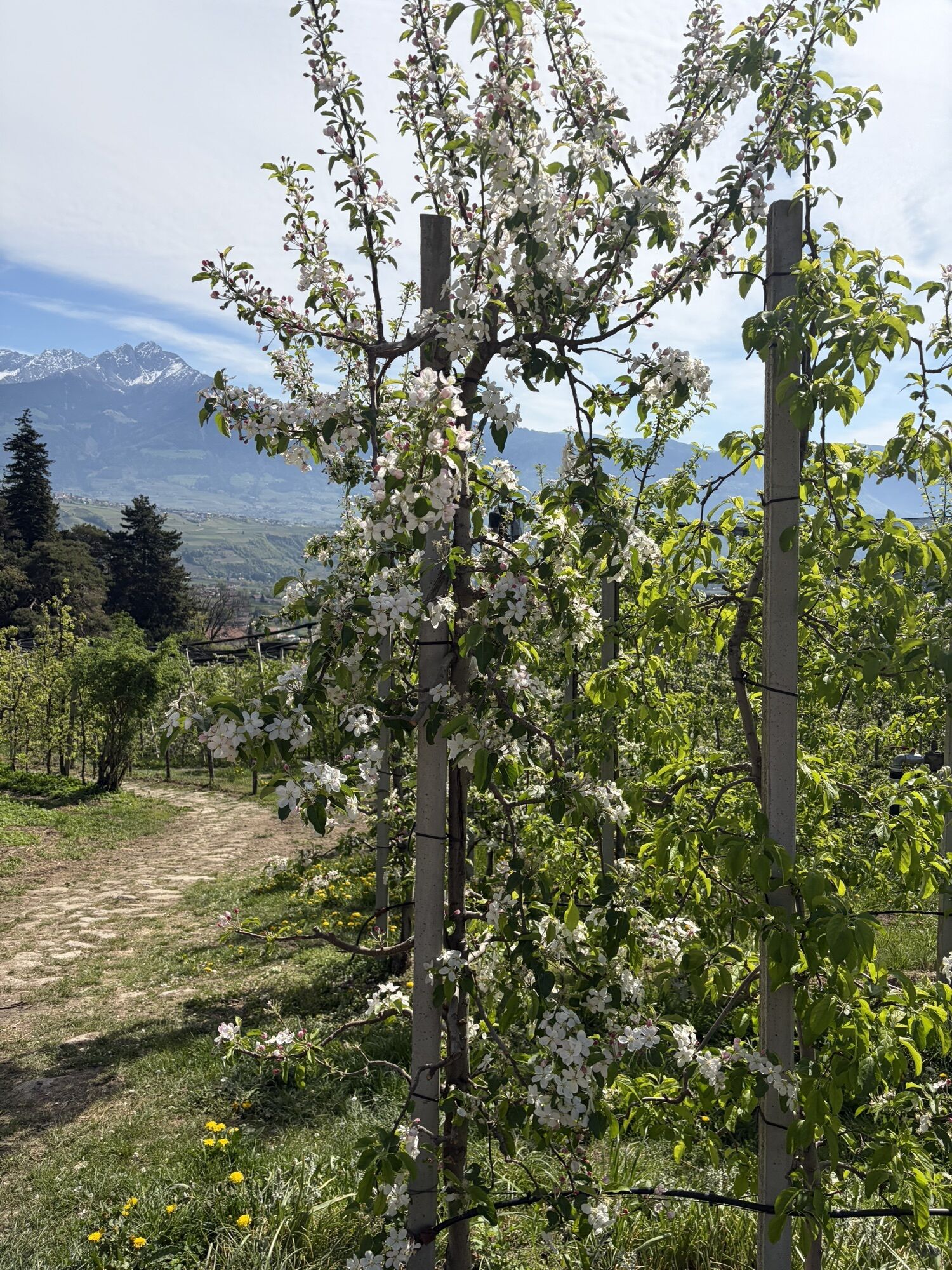


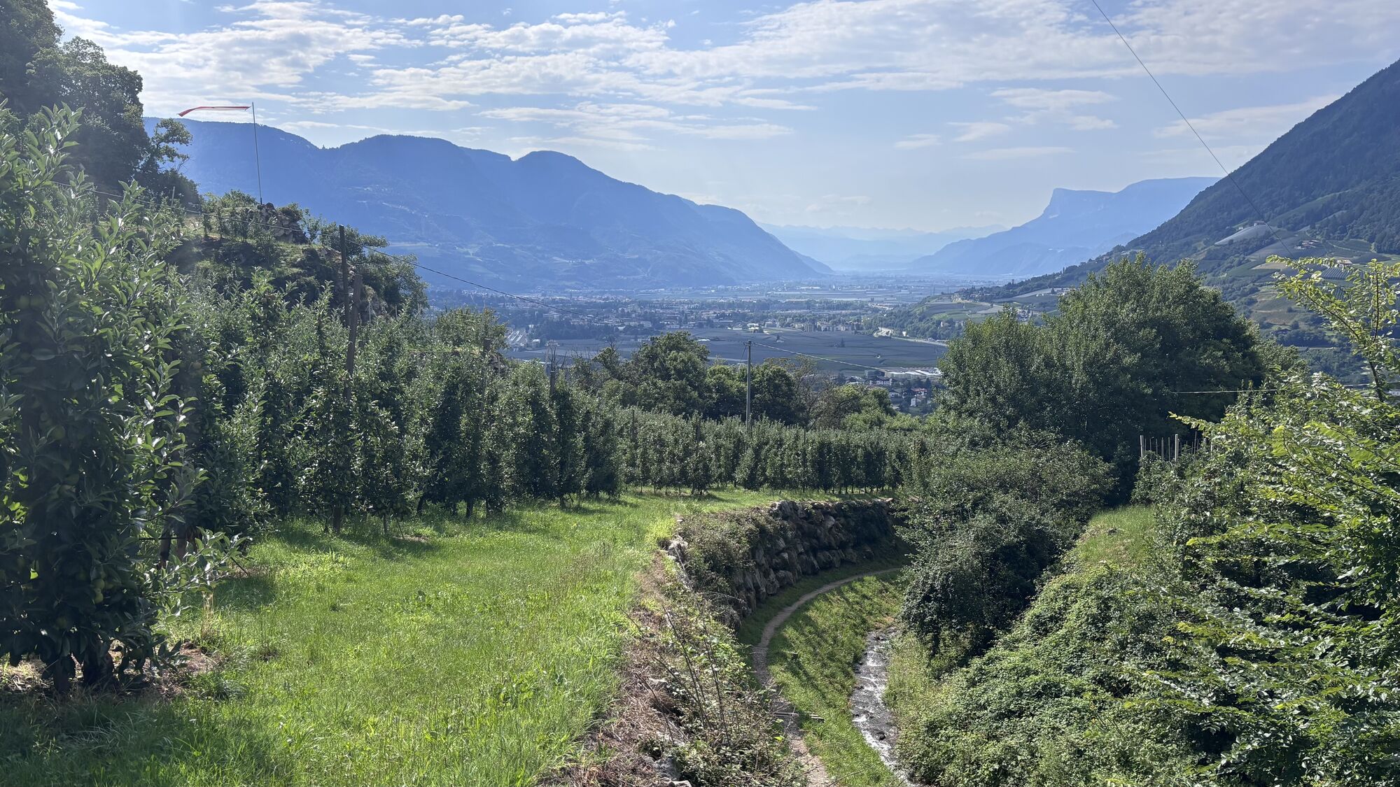
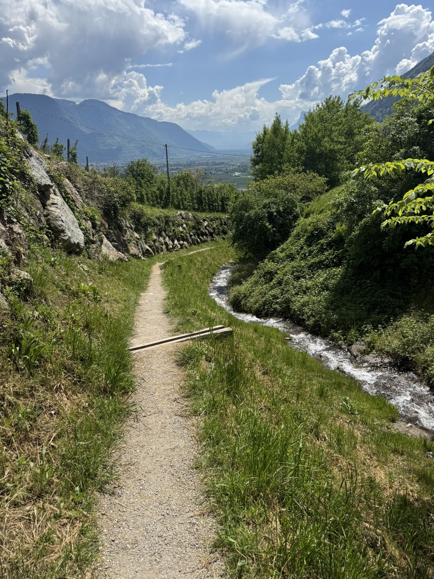
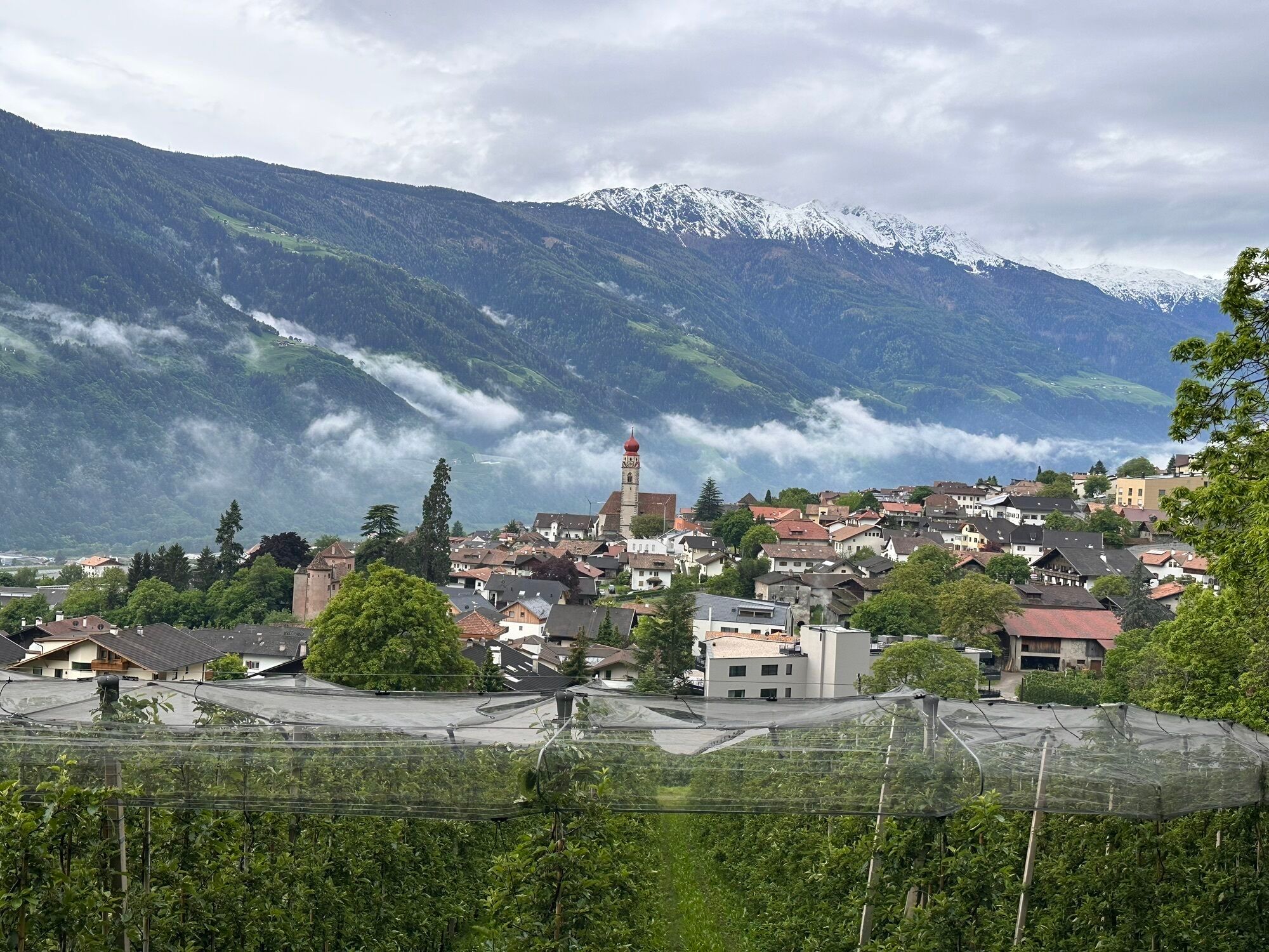
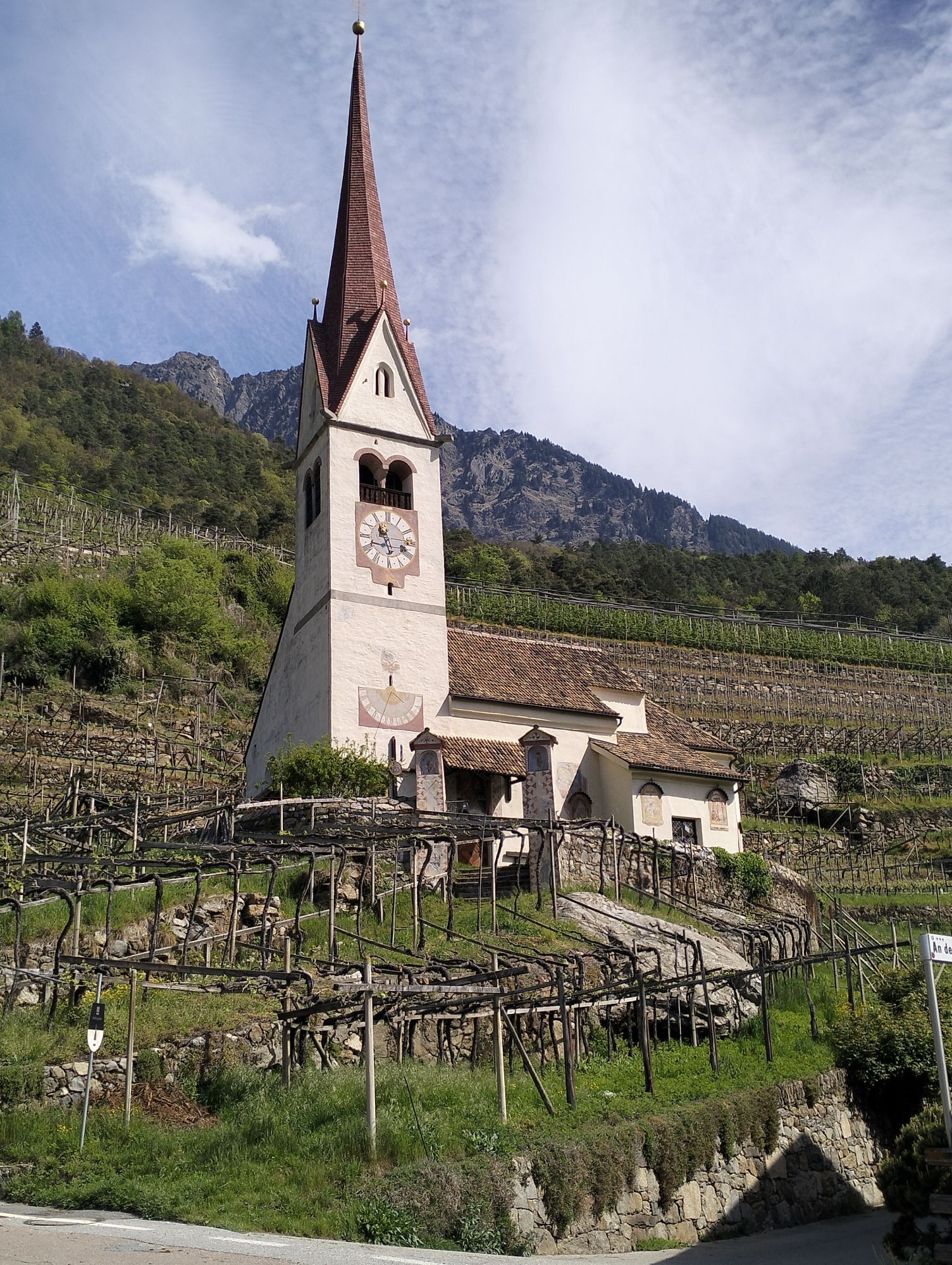
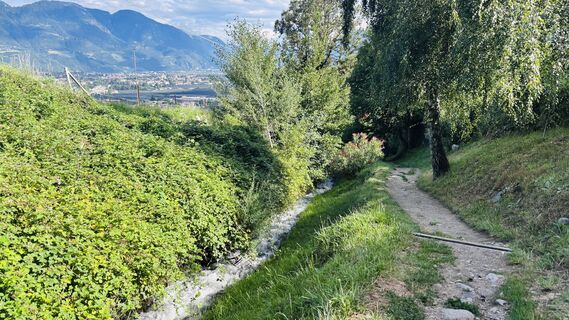
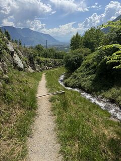
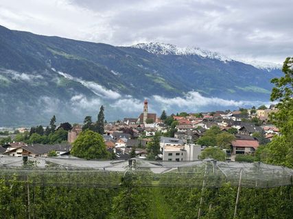
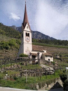
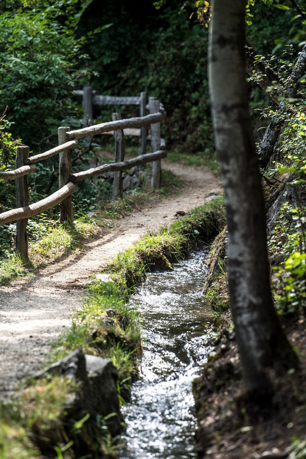
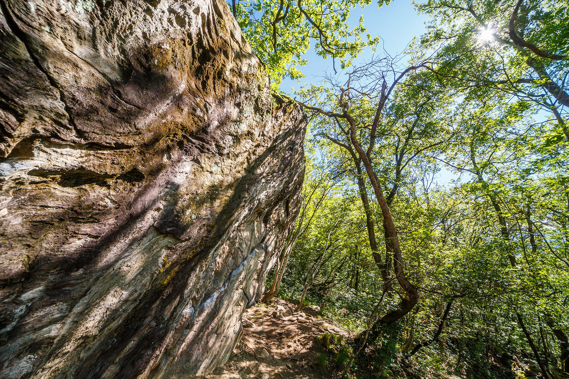
Follow the Grabbachweg trail until Café Konrad and continue along path no. 25A up to the Schlundenstein, a large rock from the Ice Age. From there take path no. 21 that intersects with the road to Vellau/Velloi....
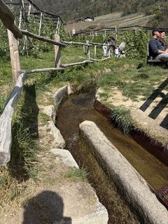
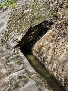
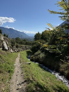
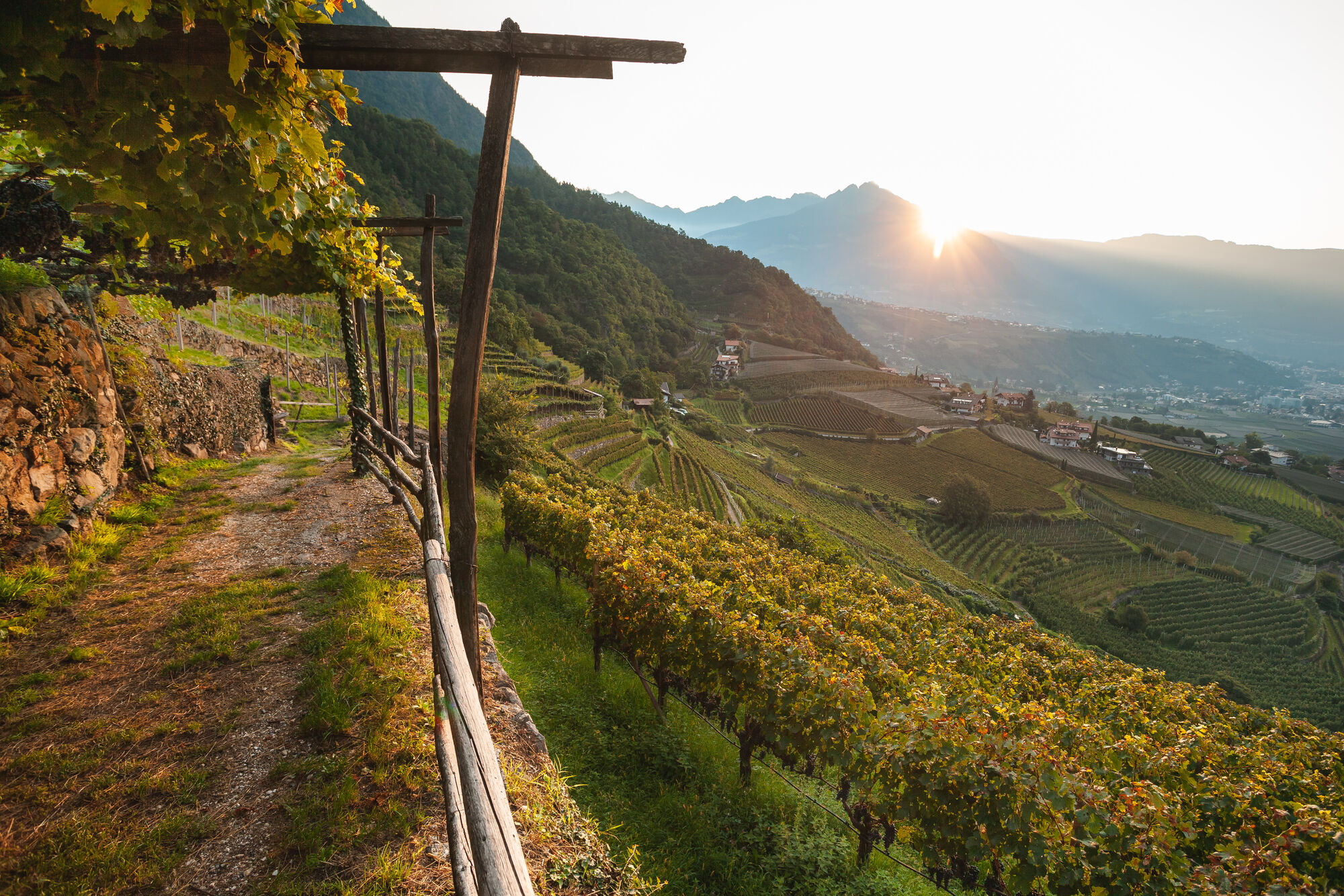
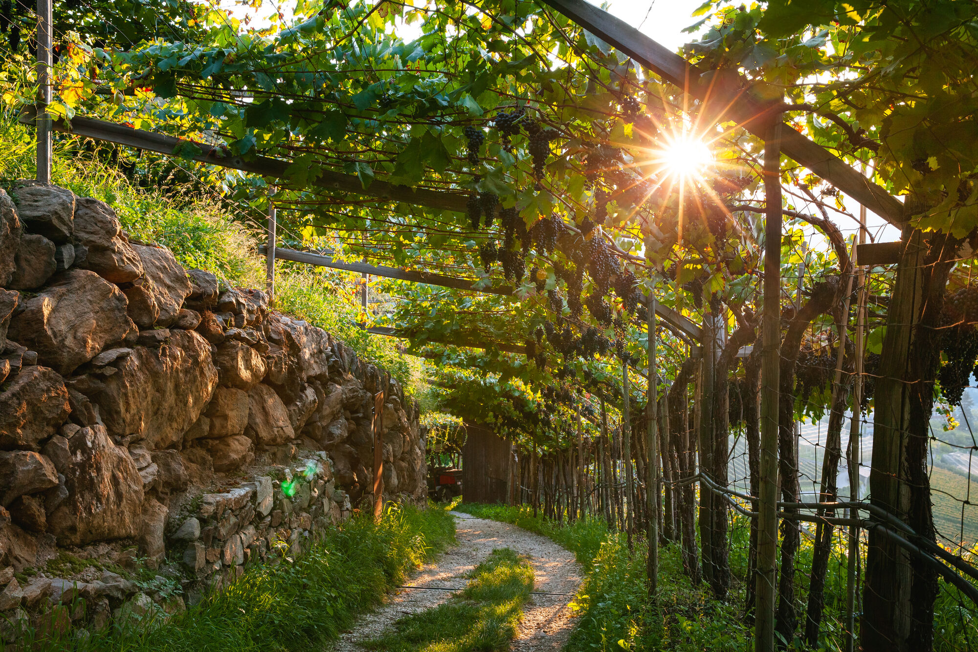
Follow the Grabbachweg trail until Café Konrad and continue along path no. 25A up to the Schlundenstein, a large rock from the Ice Age. From there take path no. 21 that intersects with the road to Vellau/Velloi. Continue along the beautiful old Oberplarser Waalweg canal trail (now flowing underground) until the Saxner Mühle mill. Cross the small bridge to Parcines, pass by the Niedermair restaurant and take the Vertigenstraße road to Partschins/Parcines. Return to the Töllgraben trench along the Franz-von-Goldegg road, continue through orchards to Oberplars/Plars di Sopra and follow the signs to return to the centre of Algund/Lagundo.
Niedermair, Saxner, Konrad
Oui
Oui
Wanderschuhe
Webcams de la tournée
-
Marling bei Meran
-
Quadrat / Niederhof
-
Dorf Tirol - Kirche Sankt Peter
-
Dorf Tirol - Kirche Sankt Peter
-
Schenna - Hotel Garni Ehrenfels
-
Schenna
-
Schenna
-
Schenna Resmairhof
-
Schenna - Hotel Erzherzog Johann
-
Partschins - Texelbahn
-
Panoramakamera Marling
-
Naturns Plaus
-
Schenna Ortszentrum
-
Hotel Therme
-
Hotel Therme
-
Hotel Therme
-
Hotel Therme
-
Hotel Therme
-
Hotel Therme
-
Saxifraga
-
Saxifraga
-
Blick auf Algund - Buchlechenhof
-
Blick auf Algund - Altes Dorf
Parcours populaires à proximité
-
4,7
Algund Waalweg canal trail
facileRandonnée 4,45 km -
4,3
Vorderkaser - Eishof / Texelgruppe
facileRandonnée 4,83 km -
4,5
Aschbach / Rio Lagundo – Naturnser Alm mountain pasture - Vigiljoch/San Vigilio
moyenRandonnée 10,3 km -
4,8
Naturns Unterstellbahn bis Texelbahn auf dem Meraner Höhenweg
moyenRandonnée 9,77 km -
4,5
Leiter Alm mountain hut – Hochganghaus refuge - Gamplweg trail – Velloi
moyenRandonnée 9,77 km -
4,7
Leiteralm - Hochmuth - Vellau - Rundweg
facileRandonnée 5,89 km -
4,5
Meran Tappeinerweg
facileRandonnée 6,77 km -
4,9
Hirzer Almenrunde
facileRandonnée en montagne 9,02 km -
4,4
Hochwilde - Pfelders
moyenRandonnée d'altitude 22,1 km -
4,6
Schenna Waalweg vom Prinz Rudolf
moyenRandonnée 10,4 km
Randonnée et suivi


Ne manquez pas les offres et l'inspiration pour vos prochaines vacances
Votre adresse électronique a été ajouté à la liste de diffusion.