





Skaftafellsheidi Loop S3 + S4
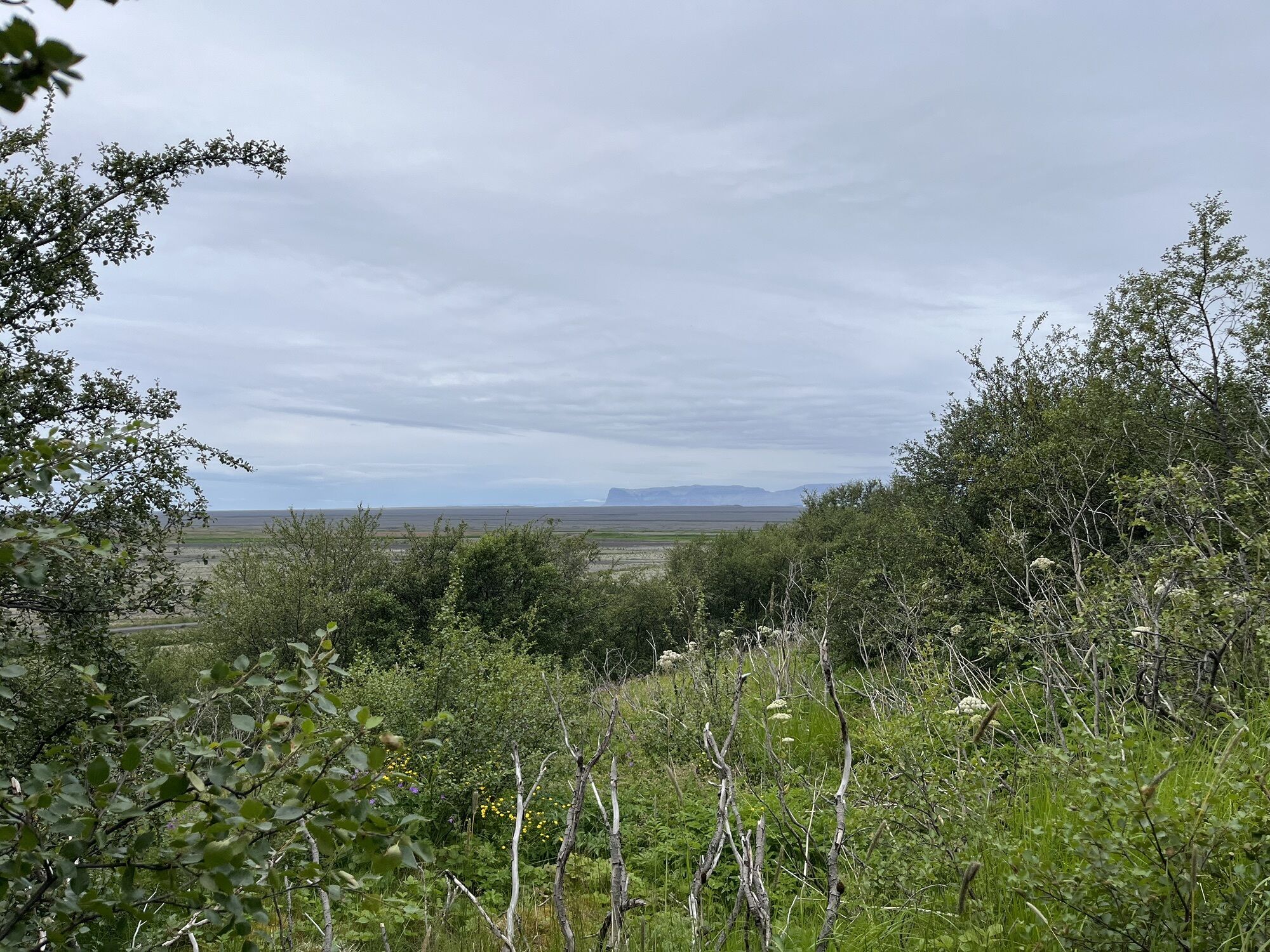
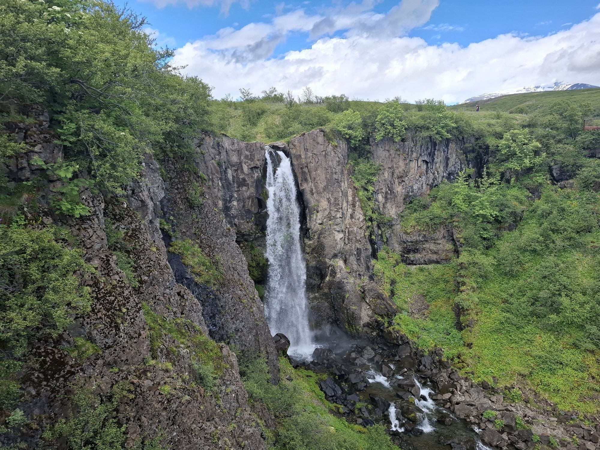
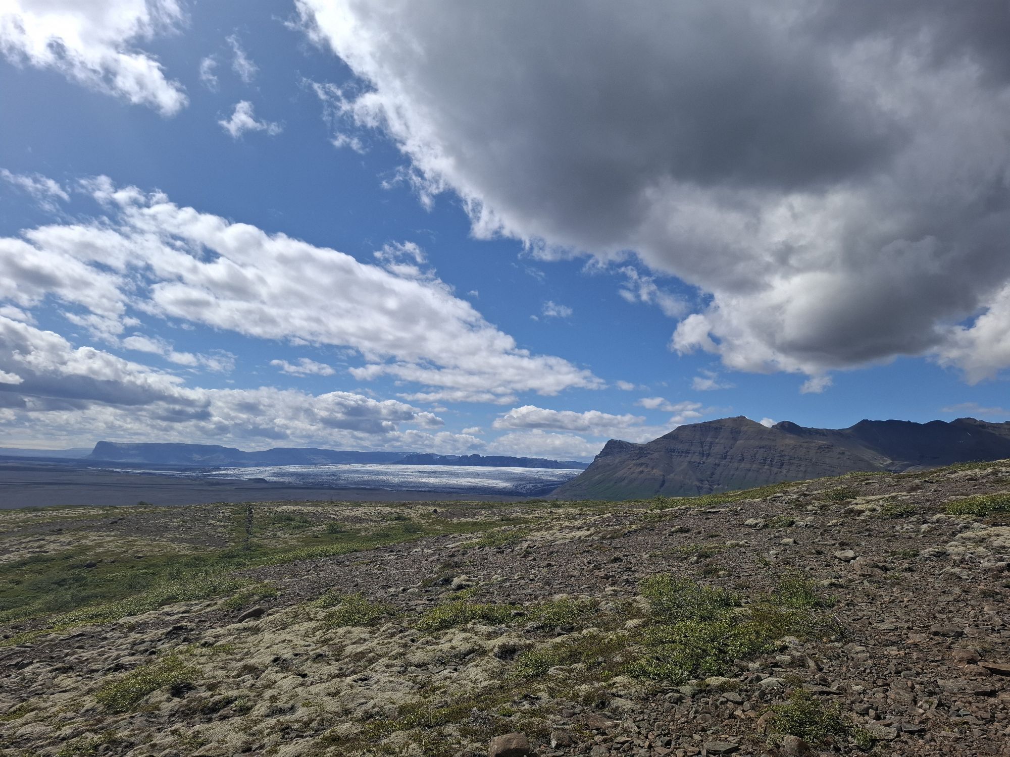
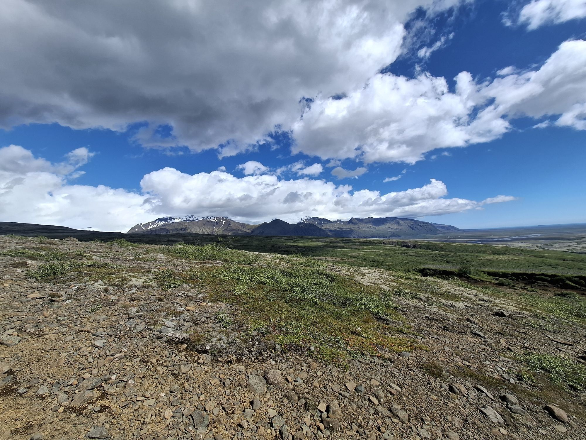
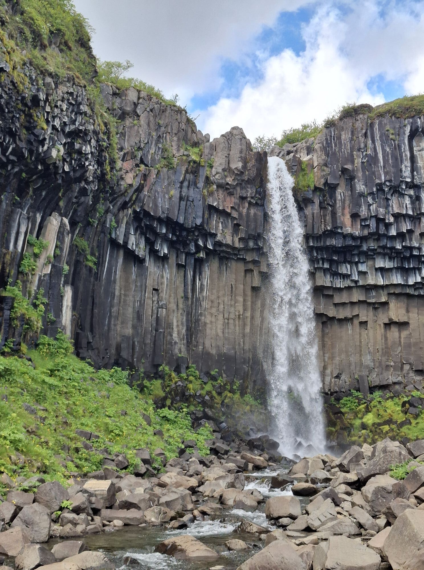
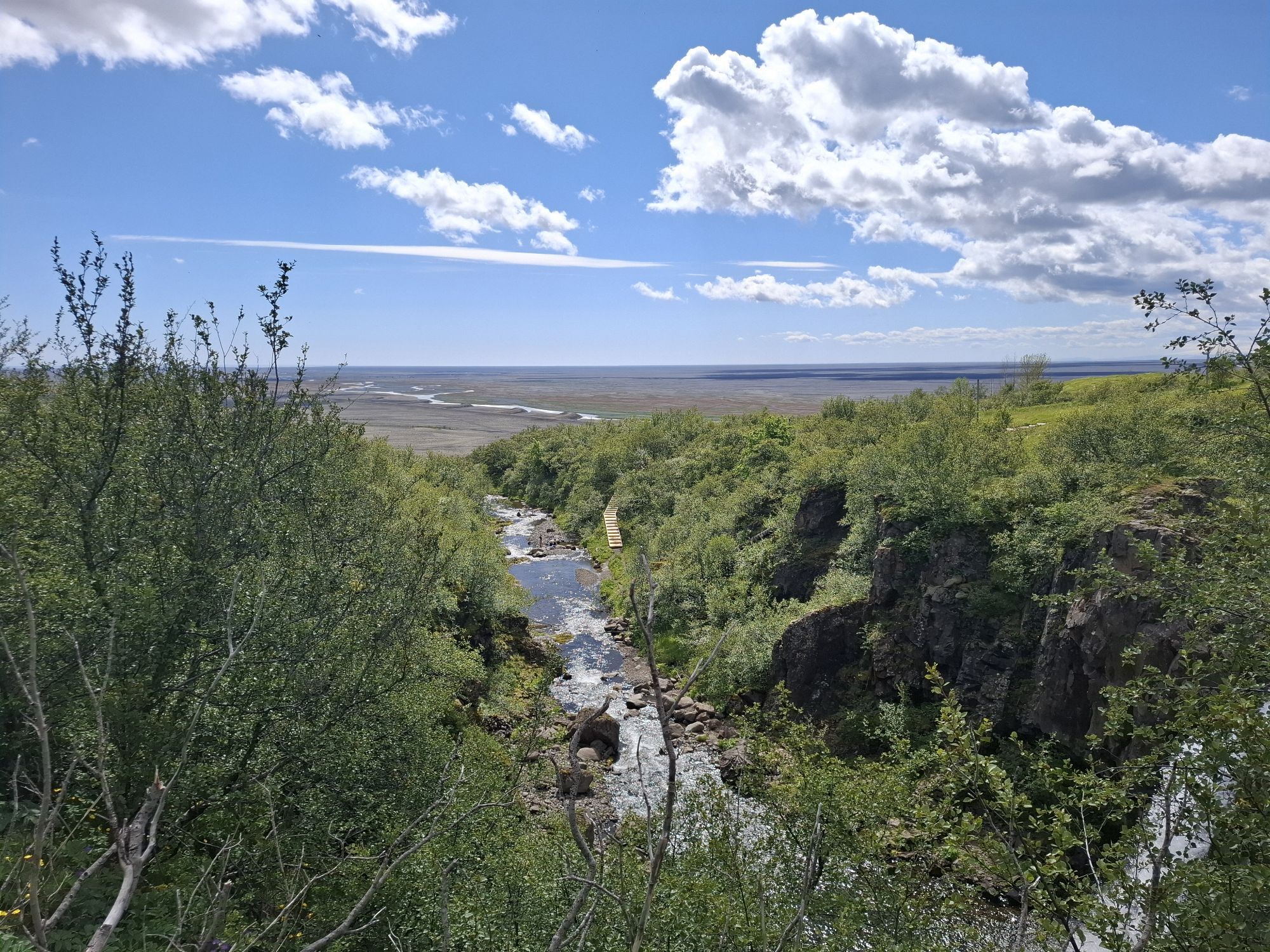
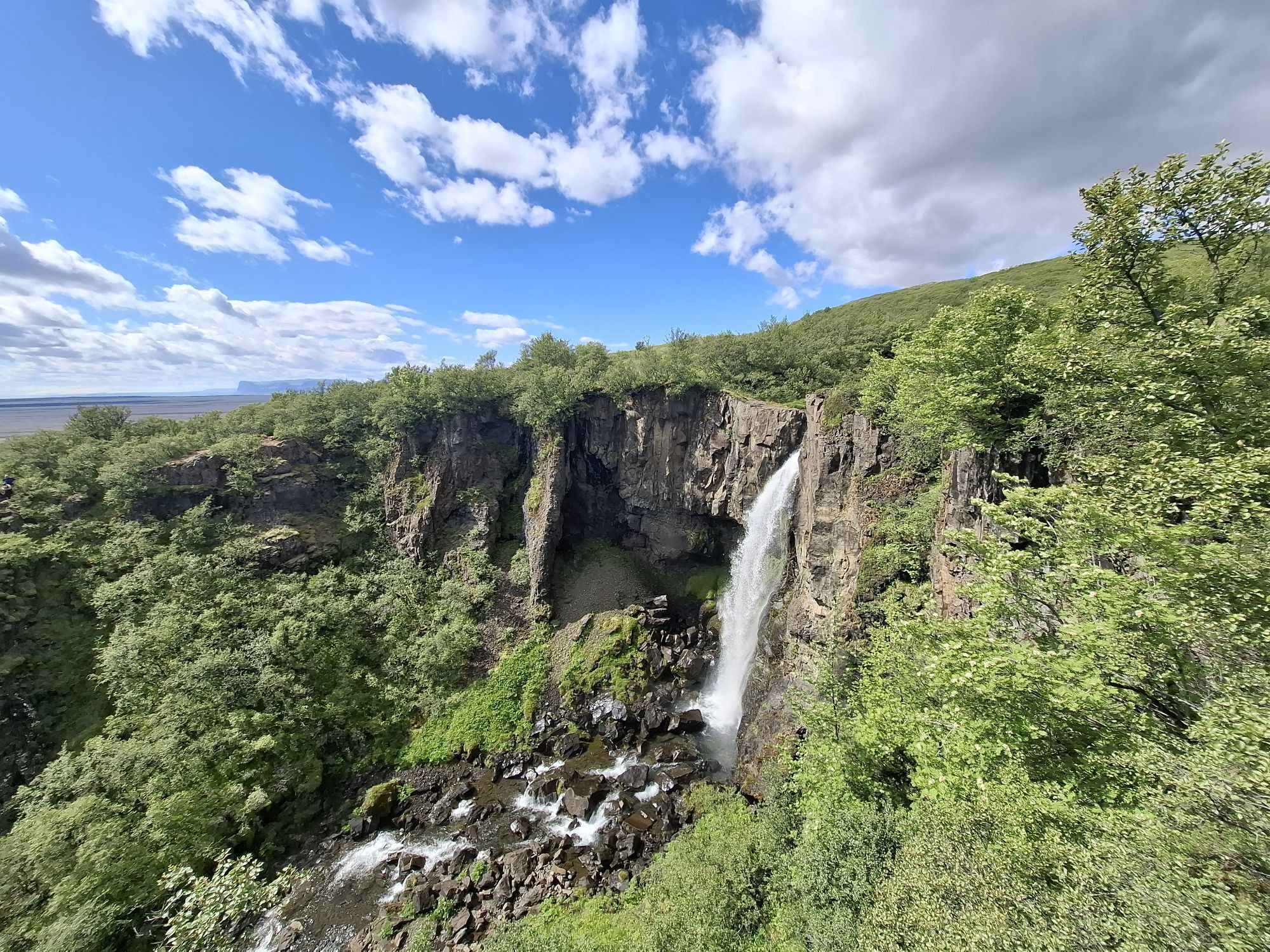
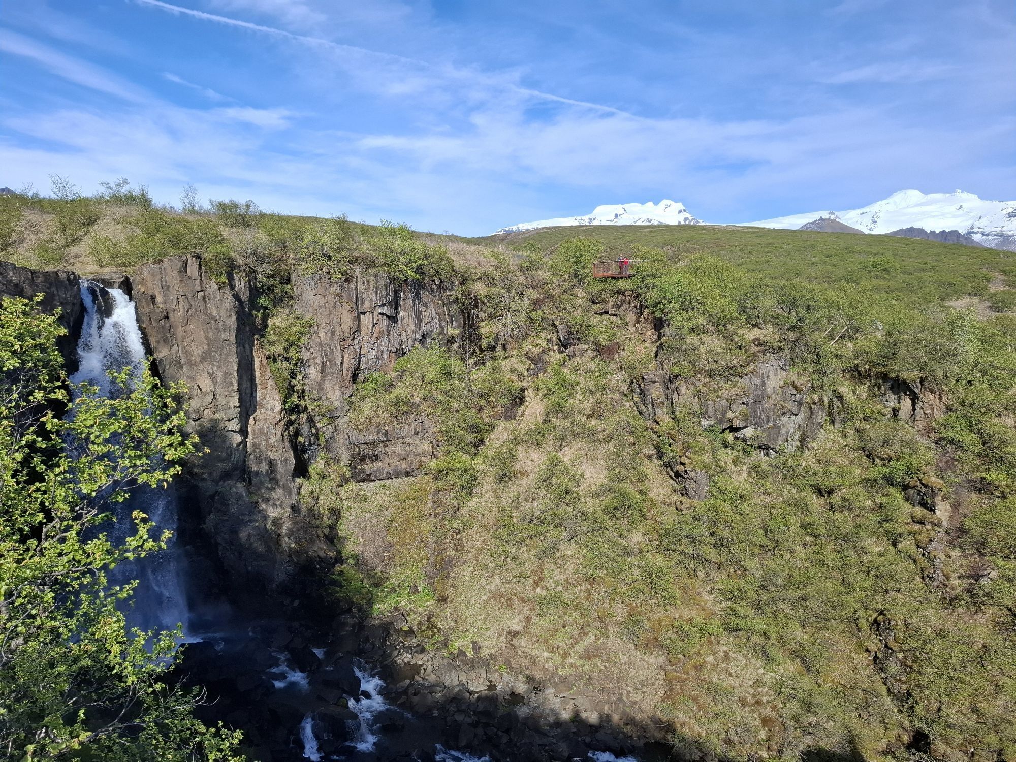
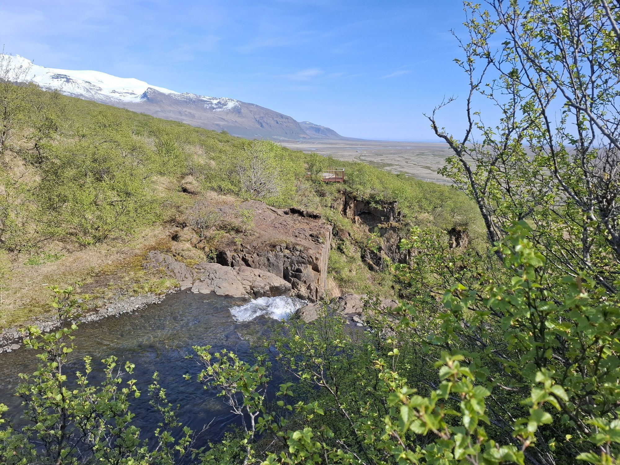
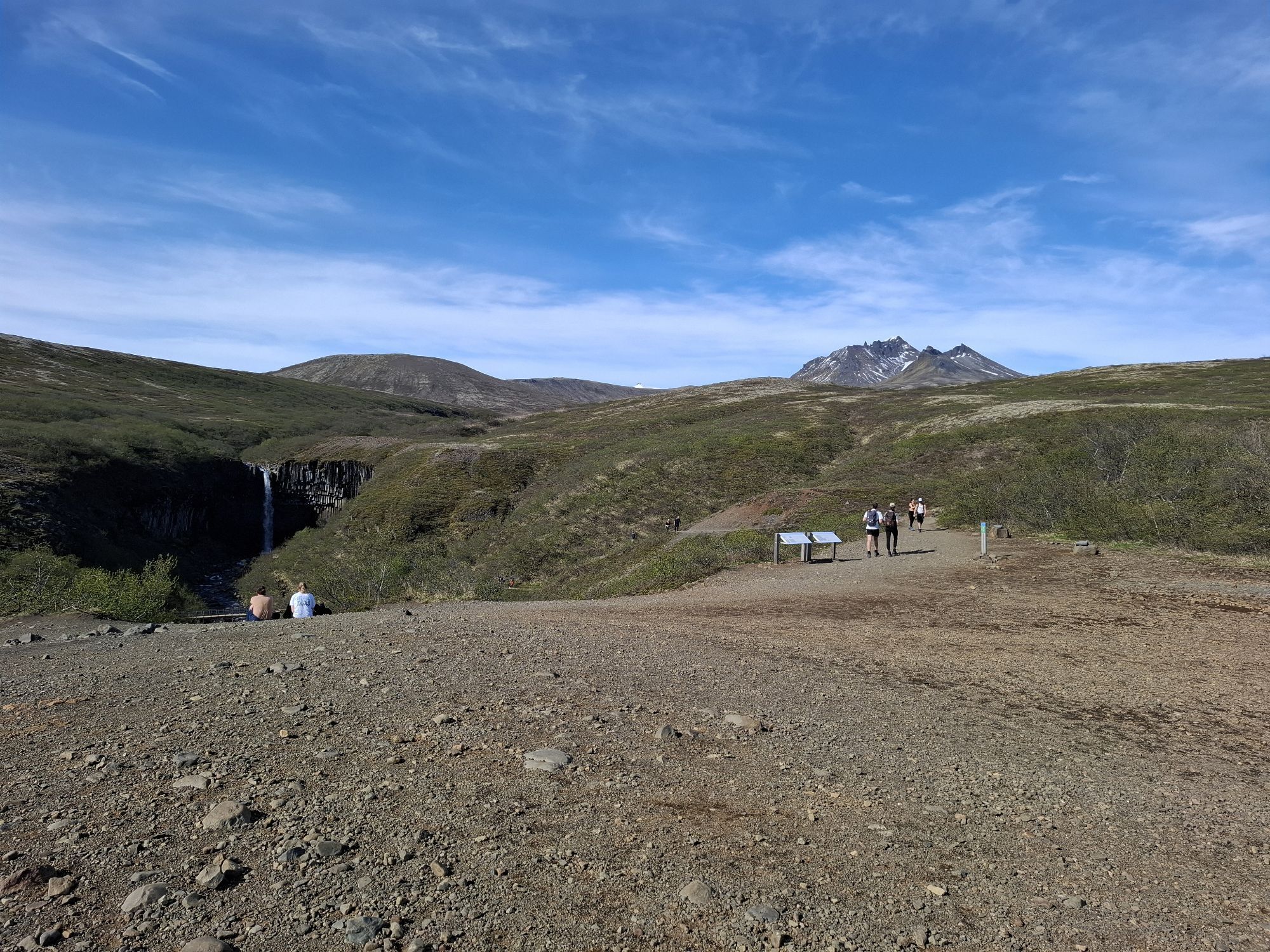
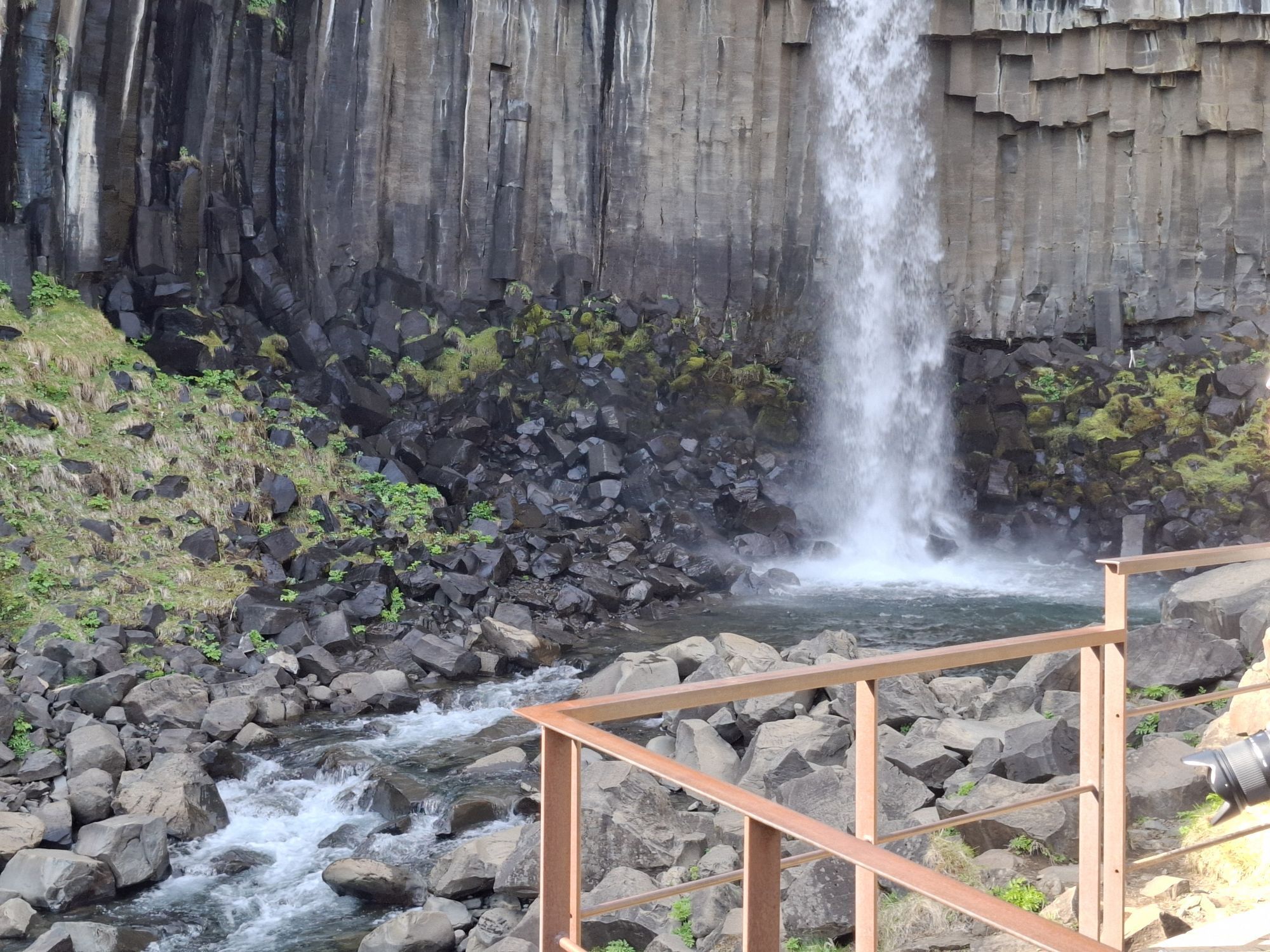
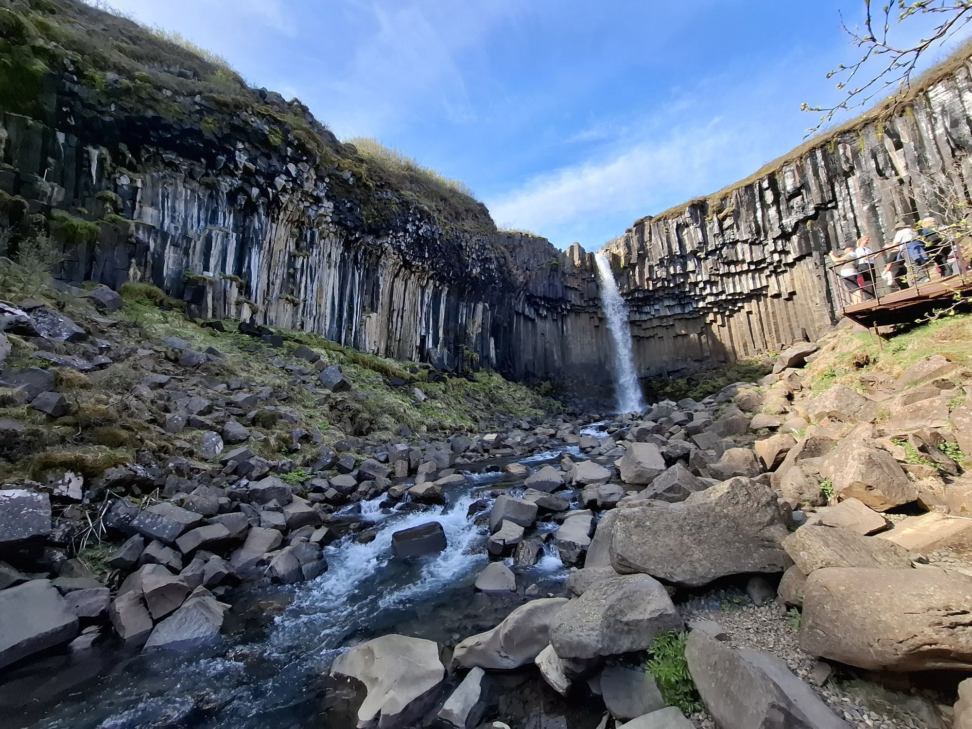
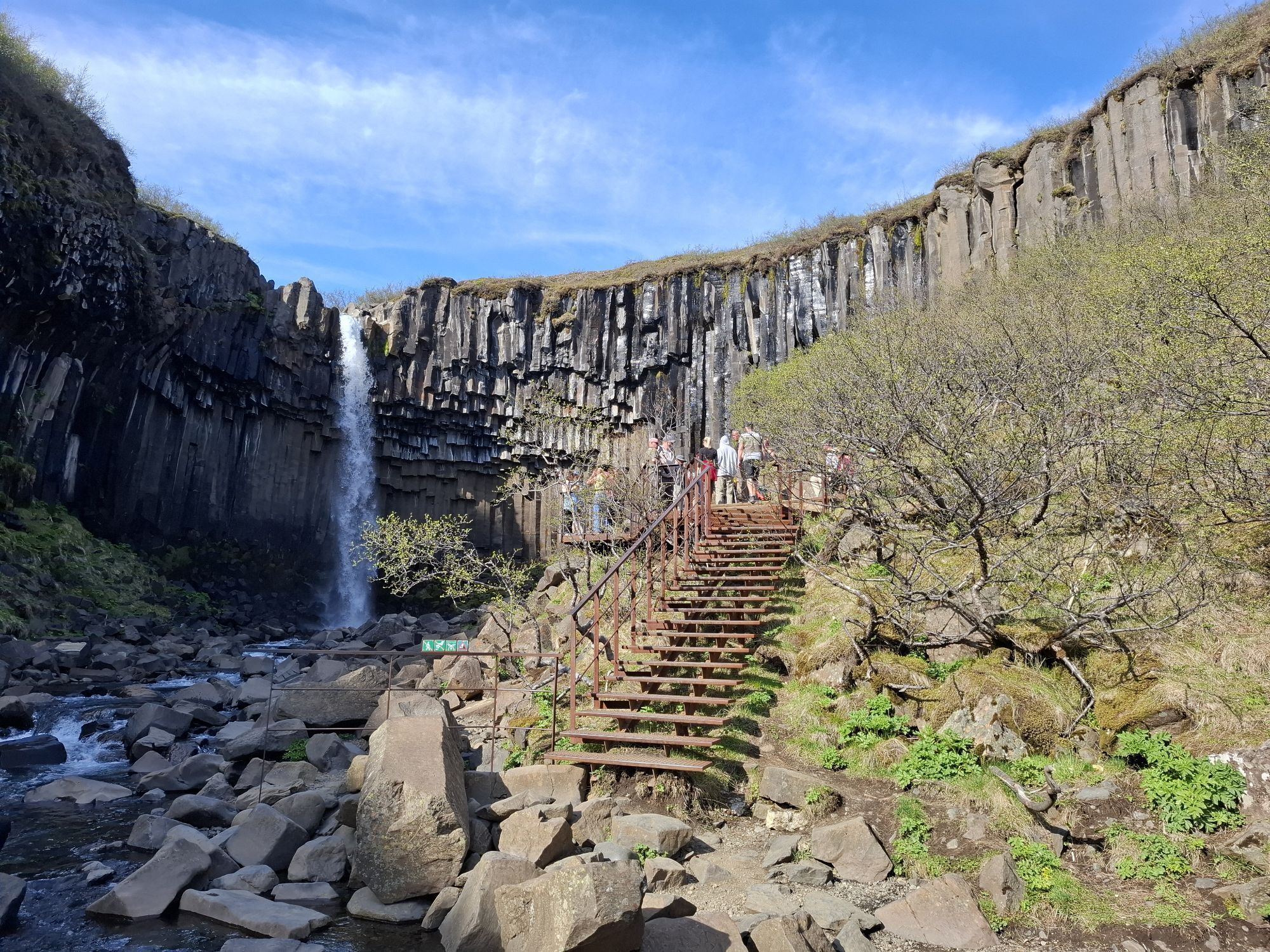
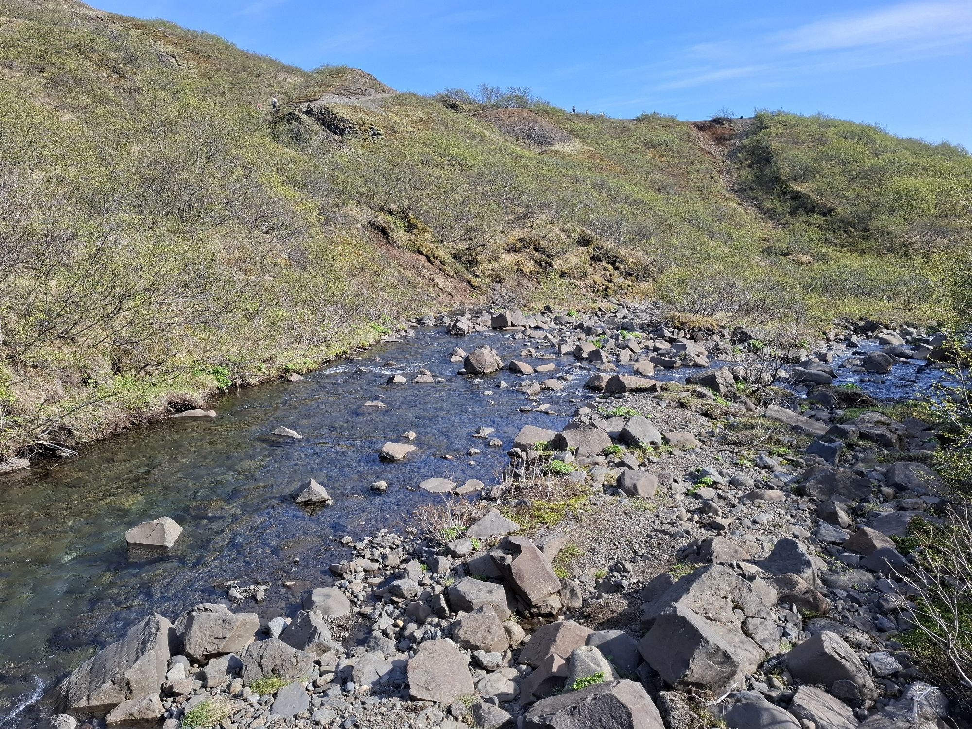
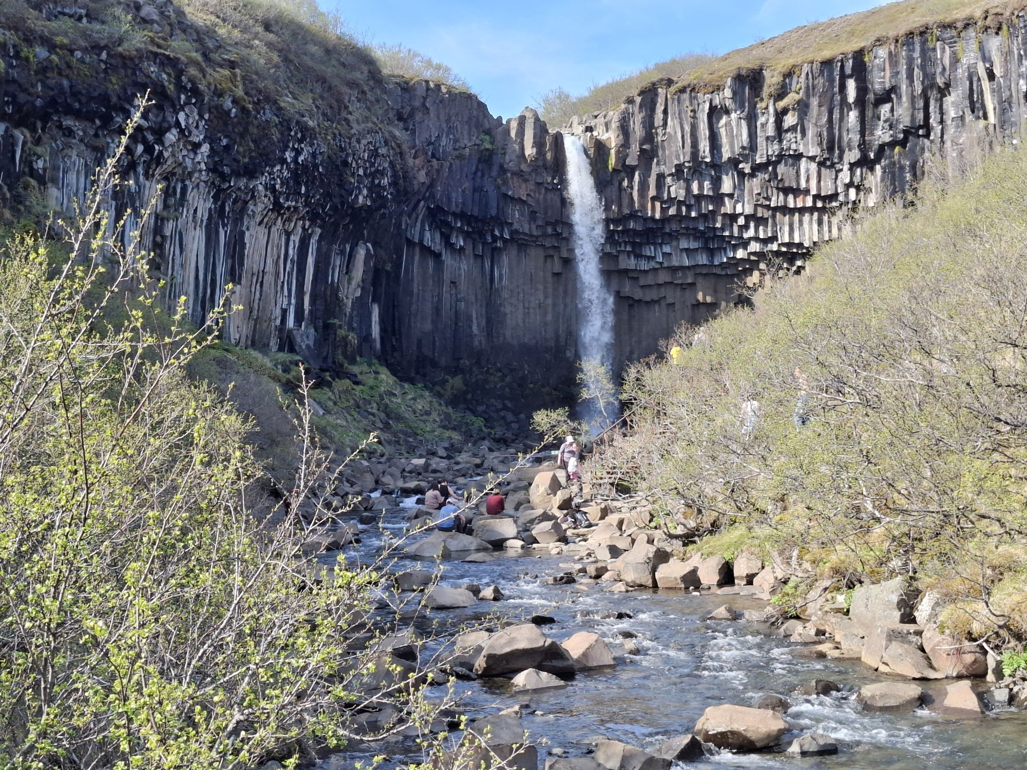
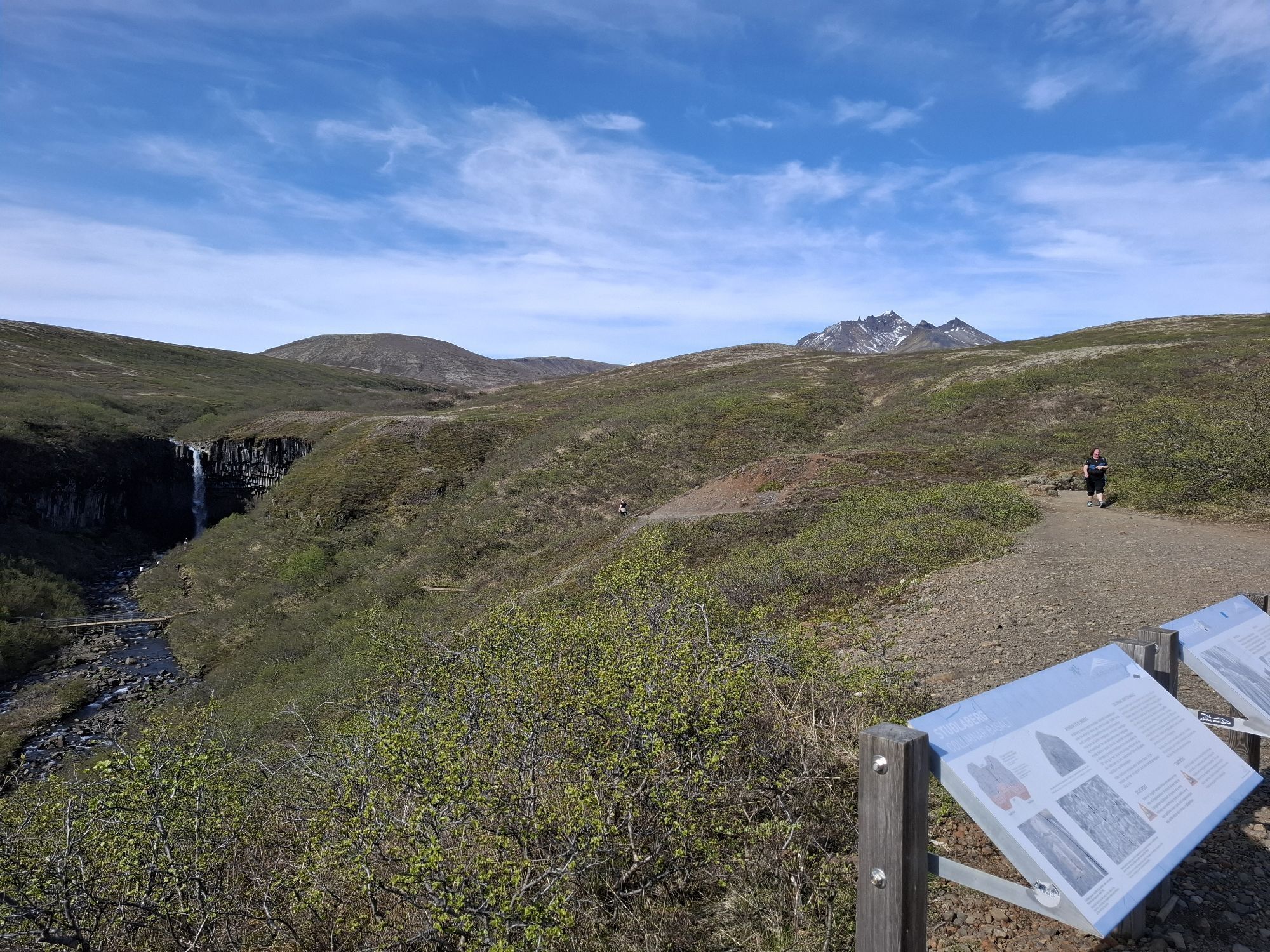
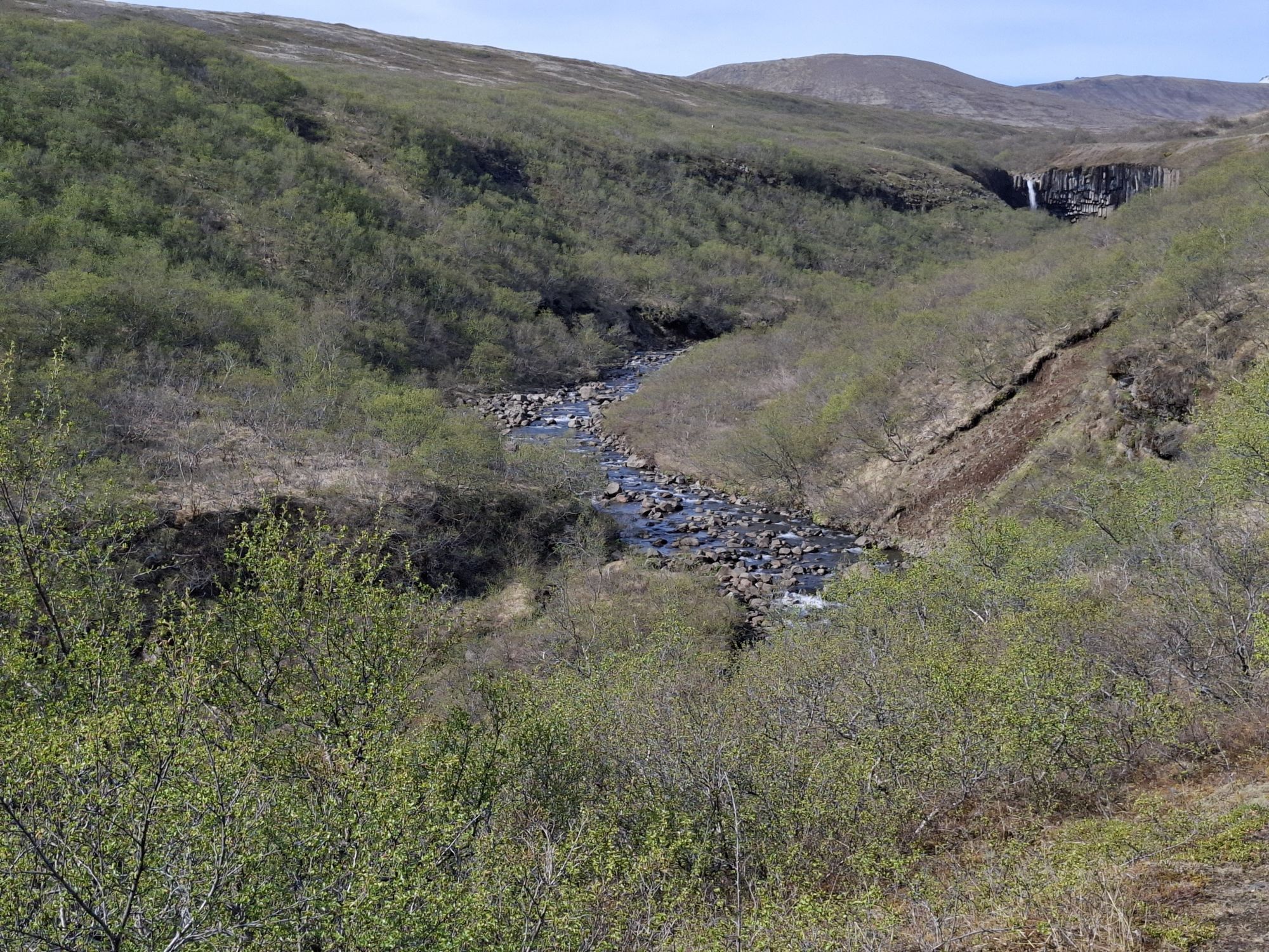
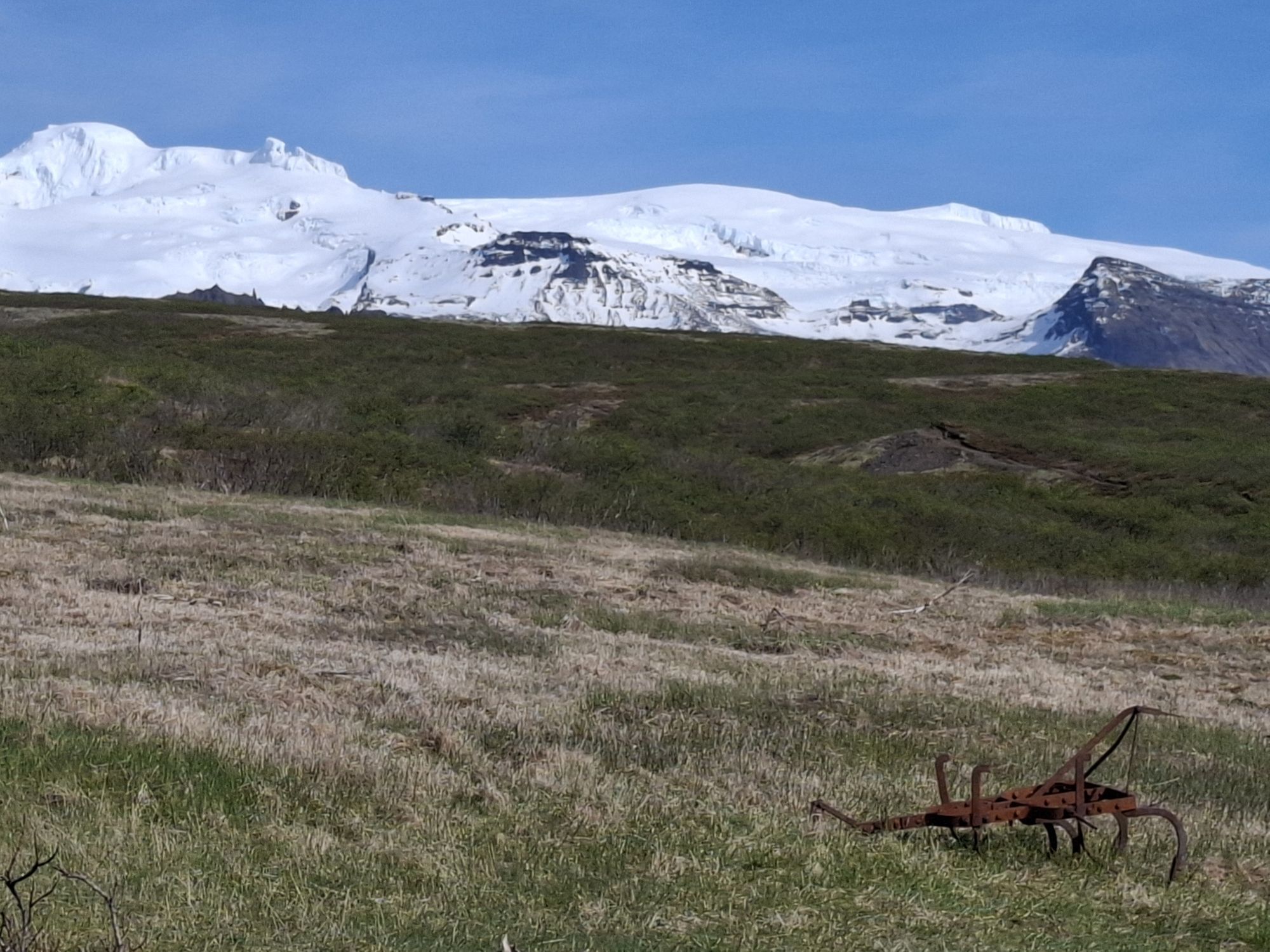
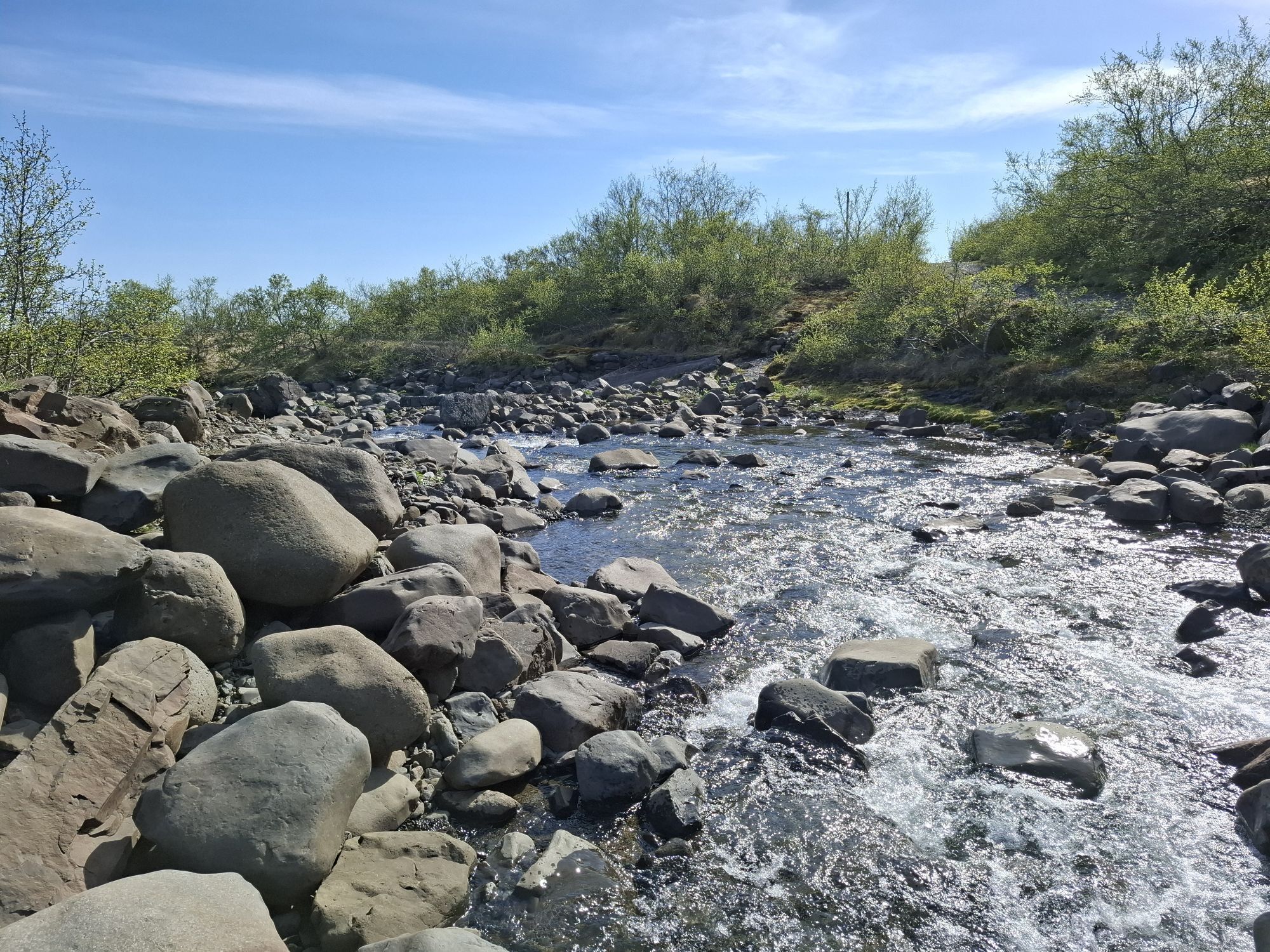
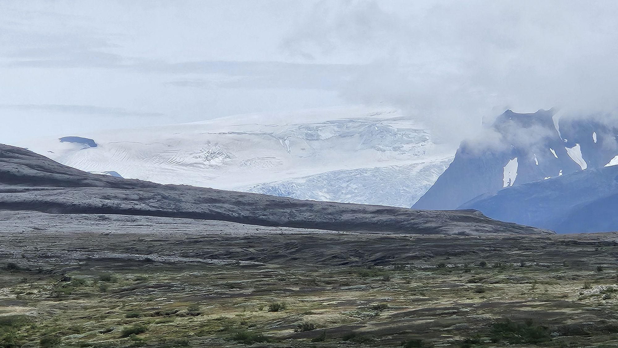
Combination of two officially marked tracks S3 (Loop) plus S4 (Kristínartindar peak at 1126m). Even on S3 there are stunning glacier views. However, if you climb Kristínartindar, you will actually get...
Combination of two officially marked tracks S3 (Loop) plus S4 (Kristínartindar peak at 1126m). Even on S3 there are stunning glacier views. However, if you climb Kristínartindar, you will actually get amazing views of the two glaciers on both sides of the ridge.
However, note that S4 is way more challenging then S3. Especially in the final ascend (last 100m oneway path), there is plenty of loose gravel on a steep and narrow trail, you basically walking through a very unstable and steep scree slope. Caution - especially going down!

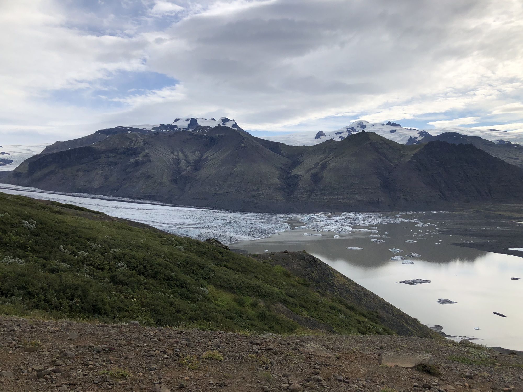
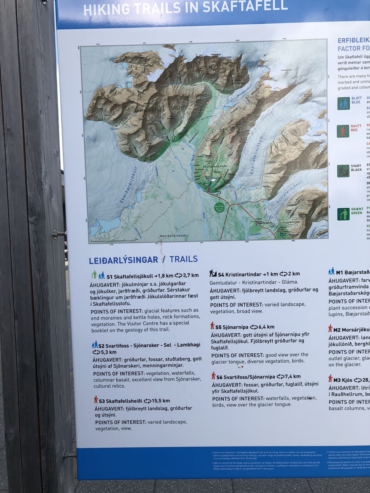
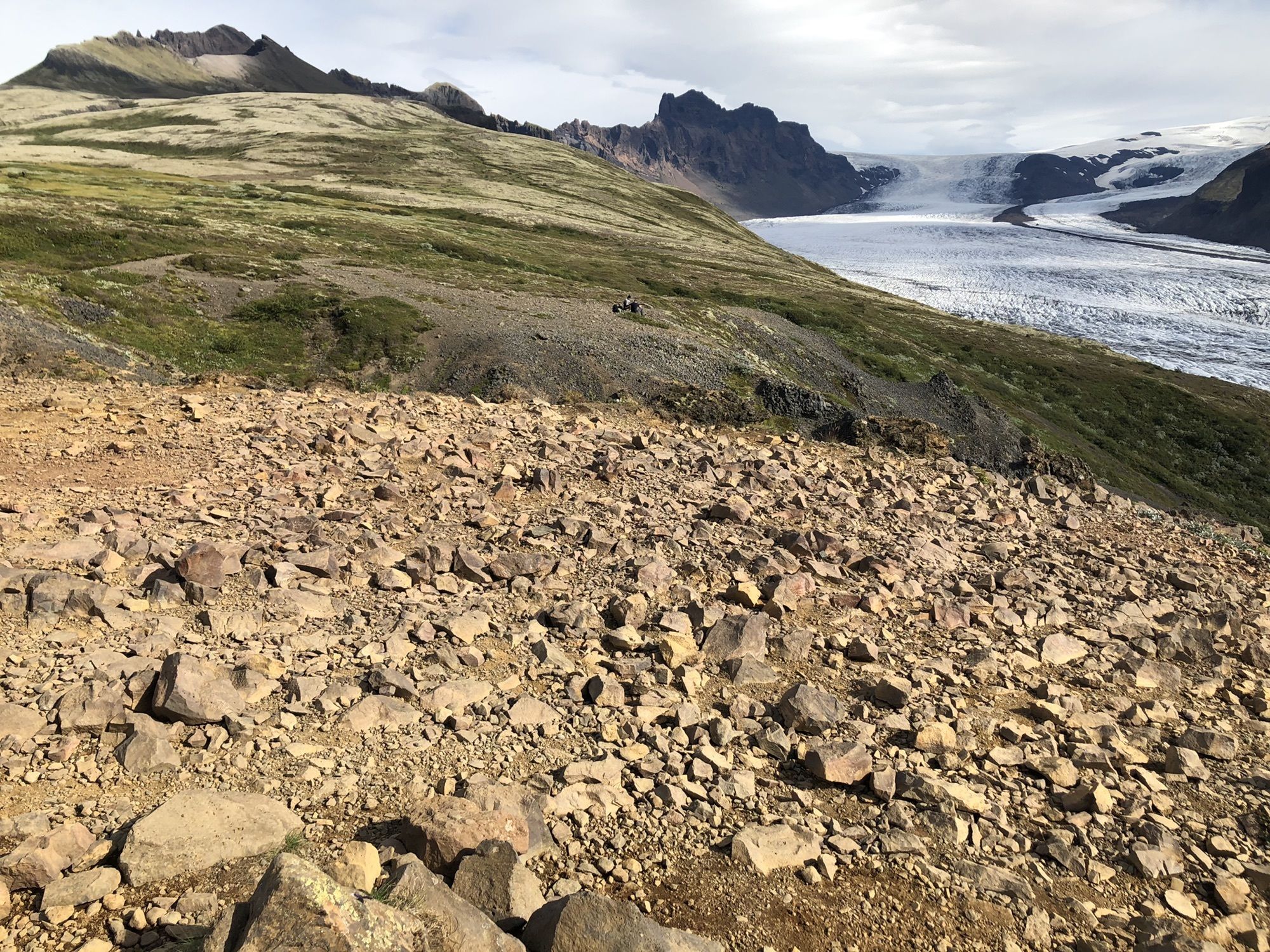
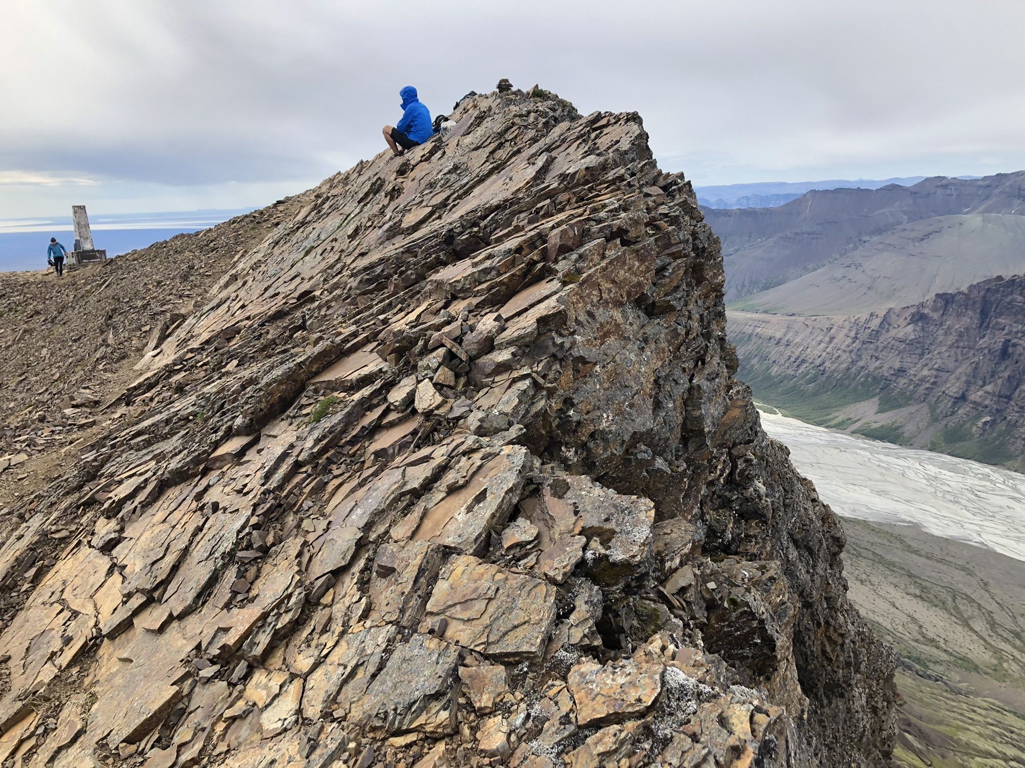
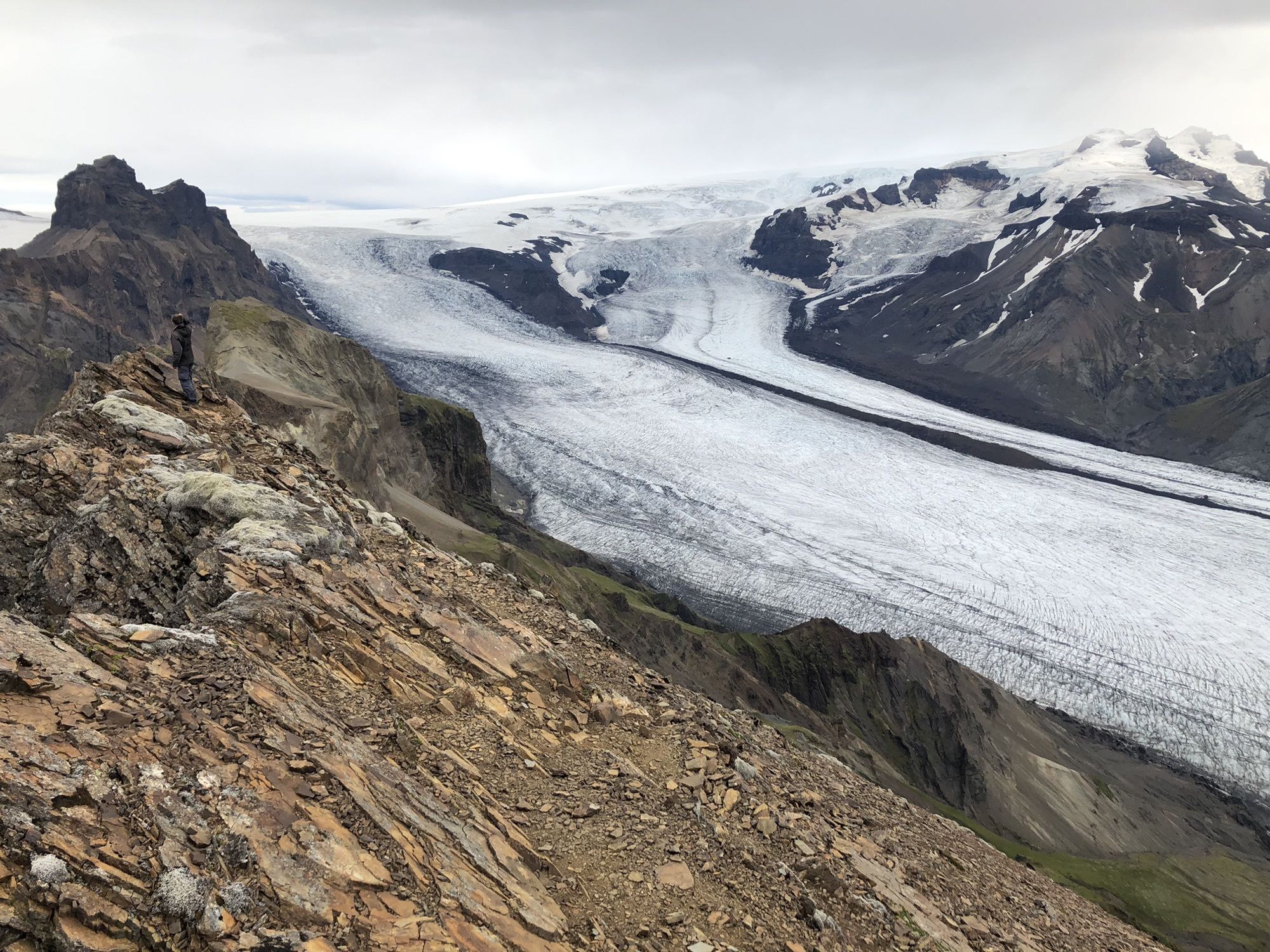
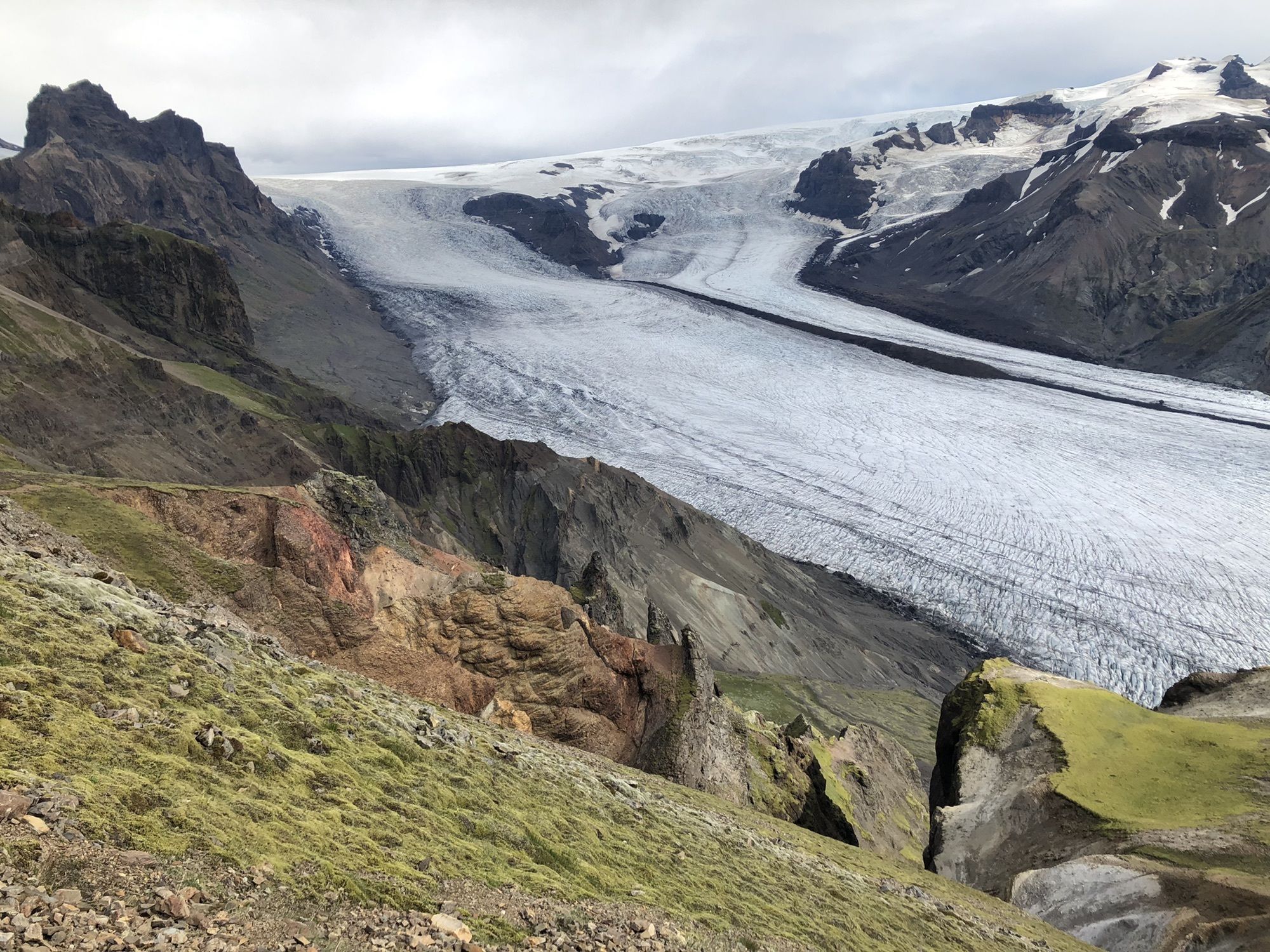
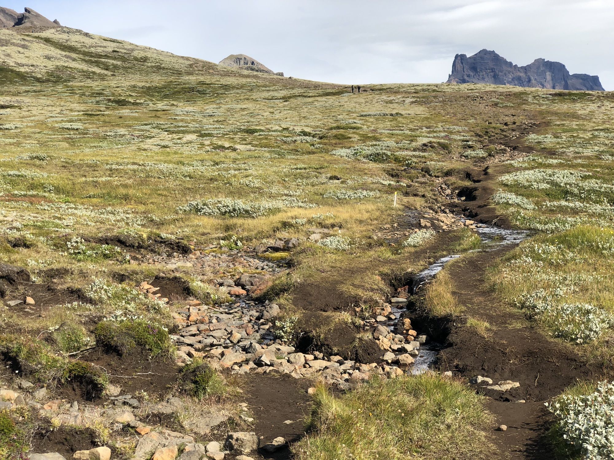

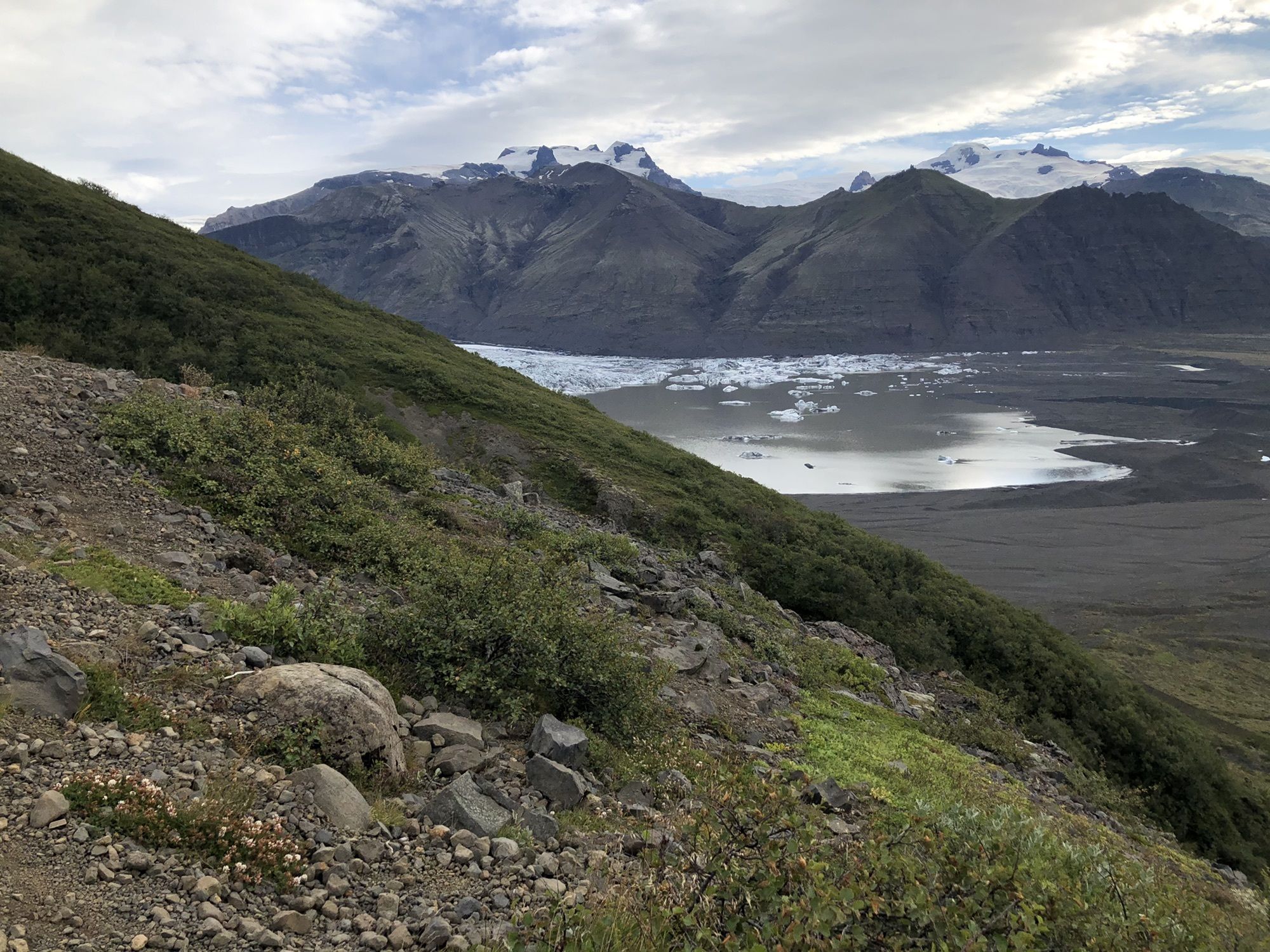
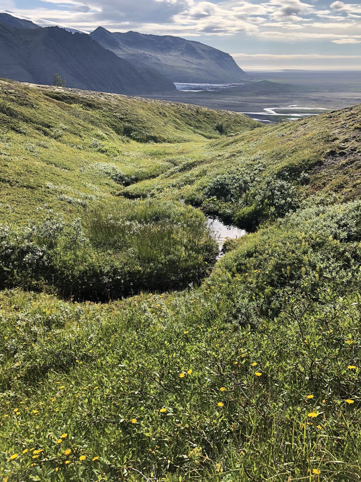
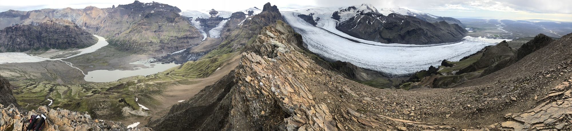
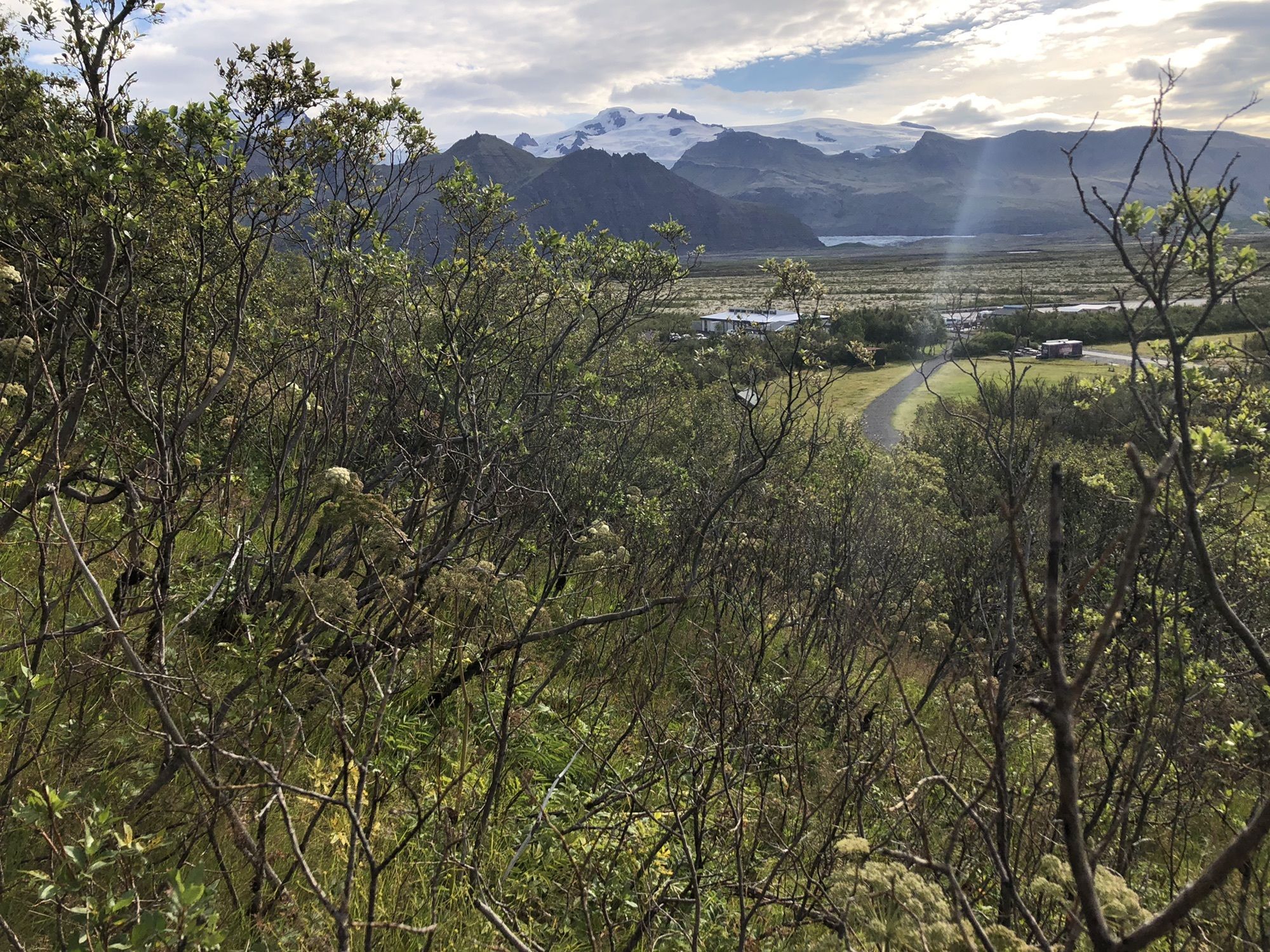

Follow the marked track, see also trail map picture in my pics. Recommend to do counterclockwise (as my recorded track) for better glacier views.
Hiking pole for last part to summit. Good shoes certainly.


Parcours populaires à proximité
-
Entlang der Gletscher-Lagune Skjaftafell
facileRandonnée 8,41 km -
5,0
Skaftafell Cafeteria - Nafnlausifoss - Þjófafoss - Skaftafell
moyenRandonnée 13,3 km -
5,0
Skaftafell - Nafnlausifoss - Þjófafoss - Hundafoss
moyenRandonnée 10,2 km -
Skaftafell Cafeteria - Nafnlausifoss - Lambhagi - Skaftafell
moyenRandonnée 14,9 km -
Sveitarfélagið Hornafjörður - Lambhagi - Nafnlausifoss - Þjófafoss
moyenRandonnée 8,61 km -
Skaftafell - Nafnlausifoss - Þjófafoss - Hundafoss
moyenRandonnée 8,94 km
Randonnée et suivi


Ne manquez pas les offres et l'inspiration pour vos prochaines vacances
Votre adresse électronique a été ajouté à la liste de diffusion.





