



Peggau, Steiermark



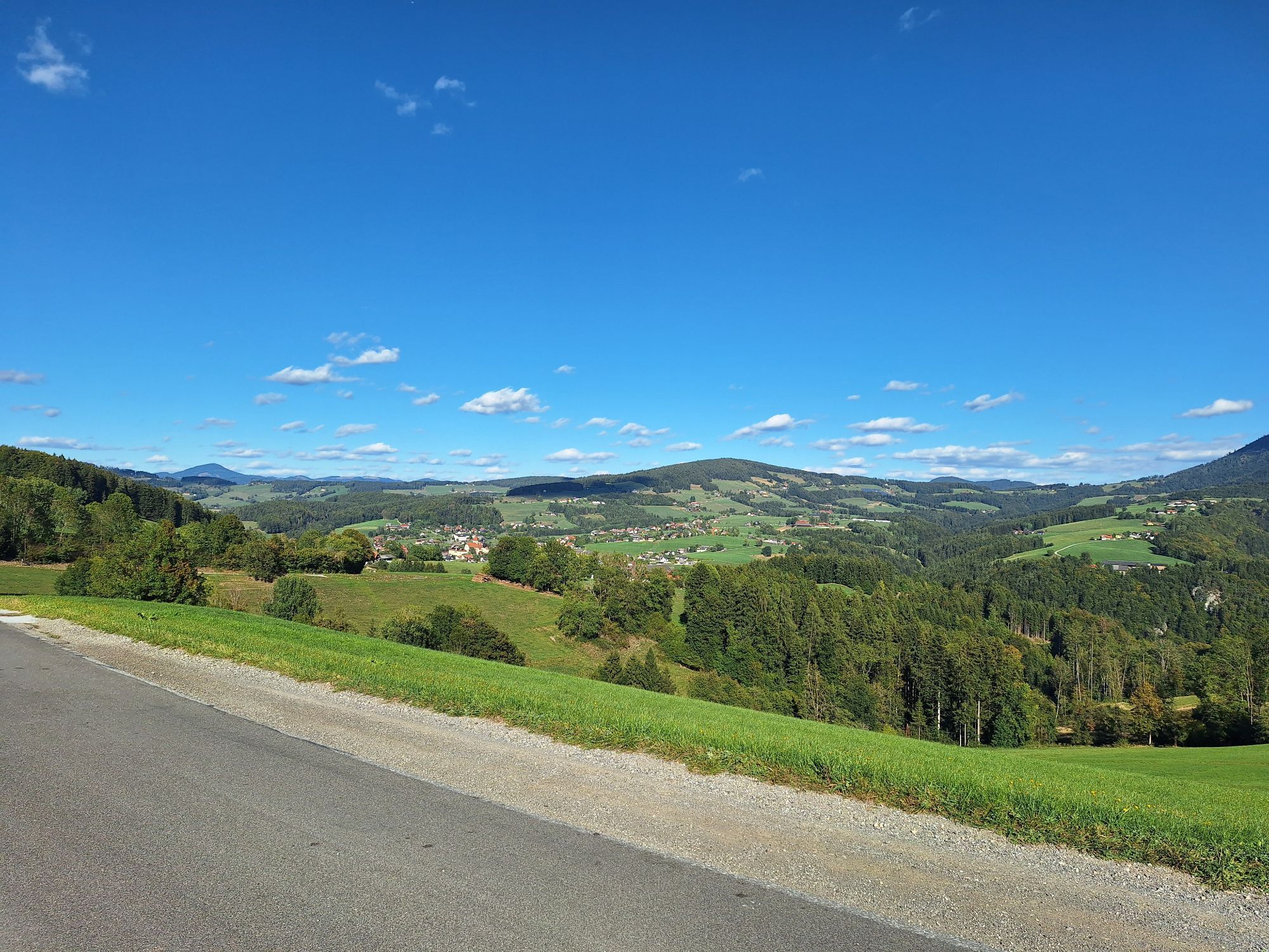
We start at the Peggau sports field in the Hinterberg district and march northwards. After 200 meters we turn right into the Mitterbachstraße, at the end of which we change to the "Alte Landstraße" and...
We start at the Peggau sports field in the Hinterberg district and march northwards. After 200 meters we turn right into the Mitterbachstraße, at the end of which we change to the "Alte Landstraße" and follow its course to the signpost of the "KZ Denkmal".
There we turn into the "Wiesenweg" and follow the path until after the "KZ-Denkmal" and climb the footpath up to the "Mittereggstraße" country road. We follow this road until we reach "Burg Peggau".
There we can change to a forest path or follow the road for 400m - at the end these two paths come together again. Afterwards we follow the country road until the turn-off, where the hiking trail 756 is marked.
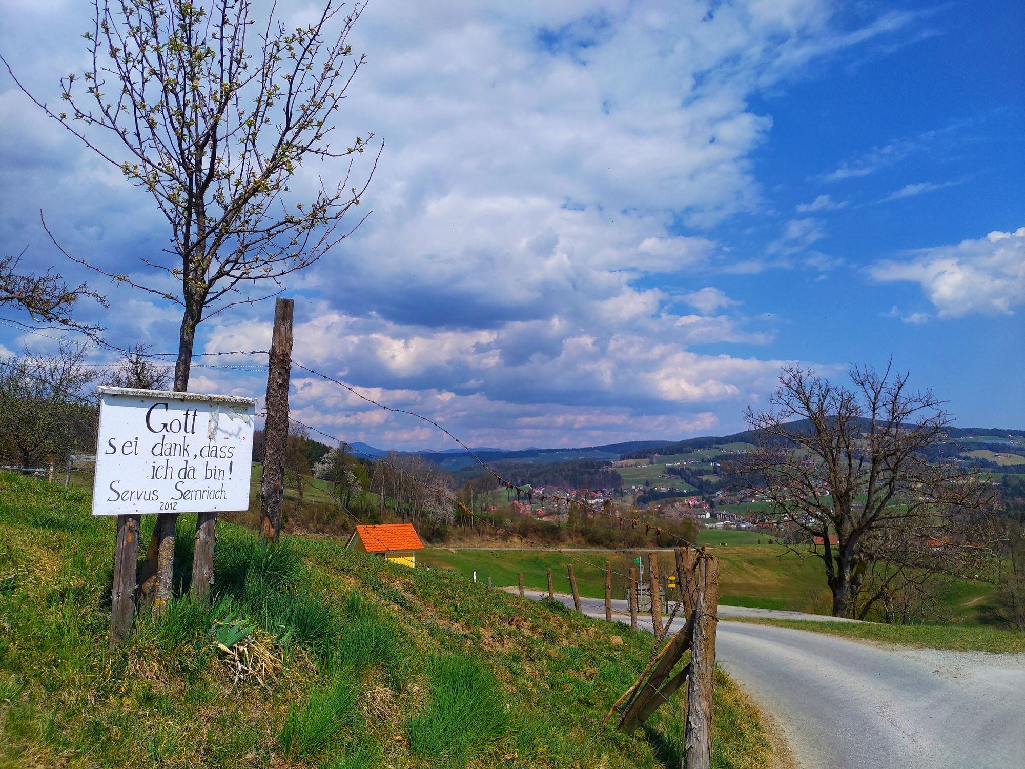
We follow this hiking trail along the entire steepest ascent of the trail until we reach Taschen (district of Semriach). After a somewhat steeper section of woodland, you walk to a settlement where you have to keep left and continue to follow the ascent towards Taschen in front of a farm building. This leads through or along a cow pasture - so be careful with the dog. After 1.5 hours of ascent you arrive in Taschen and can enjoy the view of Semriach, Schöckl and "behind you" the Peggau valley.
Afterwards we follow the "Taschenstraße" south through a sprawling village until we reach a crossing at the Draxlerkogel, where we change to the "Thonebenweg". Following this, after 300m a cross on the right hand side helps us to find our way. We follow the road for a good 1.5km until we reach the district "Hiening".
At a materl we turn right into the so called "Kalten Graben" and follow the hiking trail to Peggau - more precisely to the "Mahrbrünnle", a refreshing spring.
From there it is only 20 minutes to the starting point of our hike and thus the end.



-
Oui
Oui
Oui
Oui
sneakers and / or hiking shoes
via ÖBB-Train from Graz and Bruck / Mur and 20 Minutes walk to the sports field
train station in Pegga / Deutschfeistritz
directly at the sports field possible



Parcours populaires à proximité
-
4,5
Dürntal - Raabklamm - Arzberg - Runde
moyenRandonnée 7,79 km -
4,8
Über das Schöcklkreuz auf den Schöckl (Bike & Hike)
moyenRandonnée 9,52 km -
4,7
Schiffall und Kreuzkogel
moyenRandonnée 9,68 km -
4,7
Kesselfall-Rundweg (R6)
moyenChemin thématique 2,43 km -
4,5
Rein ist Vergnügen
facileRandonnée 11,6 km -
5,0
Enzenbach -Kaschelsteig -Mühlbacherhütte
moyenRandonnée 9,34 km -
4,5
Schöckl-Runde, Schöcklkreuz-Plenzengreith
facileTrail running 7,82 km -
4,8
Haneggkogel-Runde
facileRandonnée 8,43 km -
4,7
Königgraben - Gamskogel - Bärenhöhle - Königgraben
moyenRandonnée 5,60 km -
4,1
Schartnerkogel und Gamskogel Rundwanderung
moyenRandonnée 10,1 km
Randonnée et suivi


Ne manquez pas les offres et l'inspiration pour vos prochaines vacances
Votre adresse électronique a été ajouté à la liste de diffusion.


