


Hochtausing crossing from east to west
Photos de nos utilisateurs
-

 © Heide Maderthaner 1Créé le 08.10.2025
 -
 © Heide Maderthaner 1Créé le 08.10.2025
 -
 © Klappacher BirgitCréé le 17.09.2025
 -
 © Klappacher BirgitCréé le 17.09.2025
 -
 © Klappacher BirgitCréé le 17.09.2025
 -
 © Bärbl del NegroCréé le 22.06.2025
 -

 © Christian GaisbergerCréé le 25.05.2025
 -
 © Christian GaisbergerCréé le 25.05.2025
 -
 © Christian GaisbergerCréé le 25.05.2025
 -
 © Christian GaisbergerCréé le 25.05.2025
 -
 © Christian GaisbergerCréé le 25.05.2025
 -
 © Christian GaisbergerCréé le 25.05.2025
 -
 © Christian GaisbergerCréé le 25.05.2025
 -
 © Richard K.Créé le 27.10.2024
 -
 © Richard K.Créé le 27.10.2024
 -
 © Richard K.Créé le 27.10.2024
 -
 © Richard K.Créé le 27.10.2024
 -
 © Richard K.Créé le 27.10.2024
 -
 © Richard K.Créé le 27.10.2024
 -
 © Richard K.Créé le 27.10.2024
 -
 © Richard K.Créé le 27.10.2024
 -
 © Richard K.Créé le 27.10.2024
 -
 © Richard K.Créé le 27.10.2024
 -
 © Richard K.Créé le 27.10.2024
 -
 © Richard K.Créé le 27.10.2024
 -
 © Klaus LehnerCréé le 25.05.2023
 -
 © Klaus LehnerCréé le 25.05.2023
 -
 © Klaus LehnerCréé le 25.05.2023
 -
 © Klaus LehnerCréé le 25.05.2023
 -
 © Klaus LehnerCréé le 25.05.2023
 -
 © Klaus LehnerCréé le 25.05.2023
 -
 © Aga MCréé le 12.07.2025


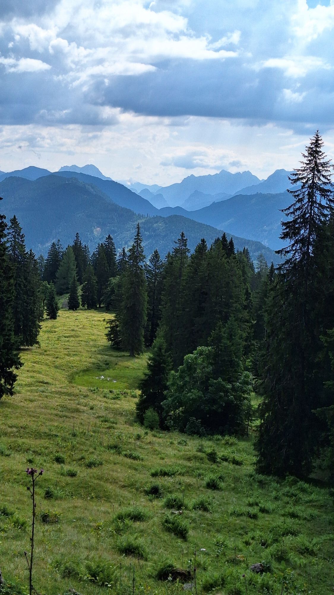
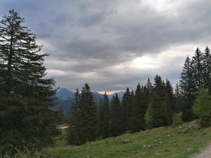
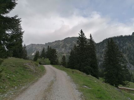
Start and Approach
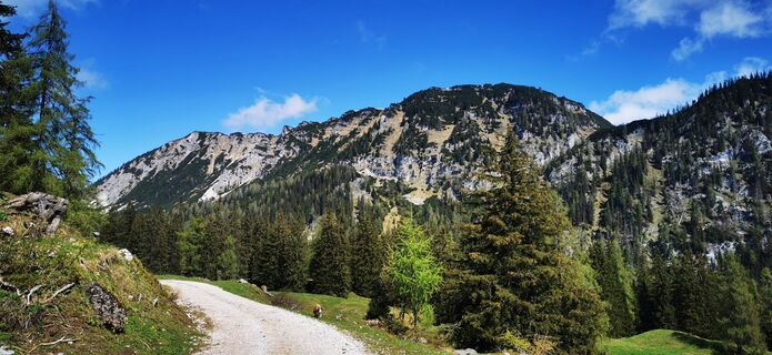
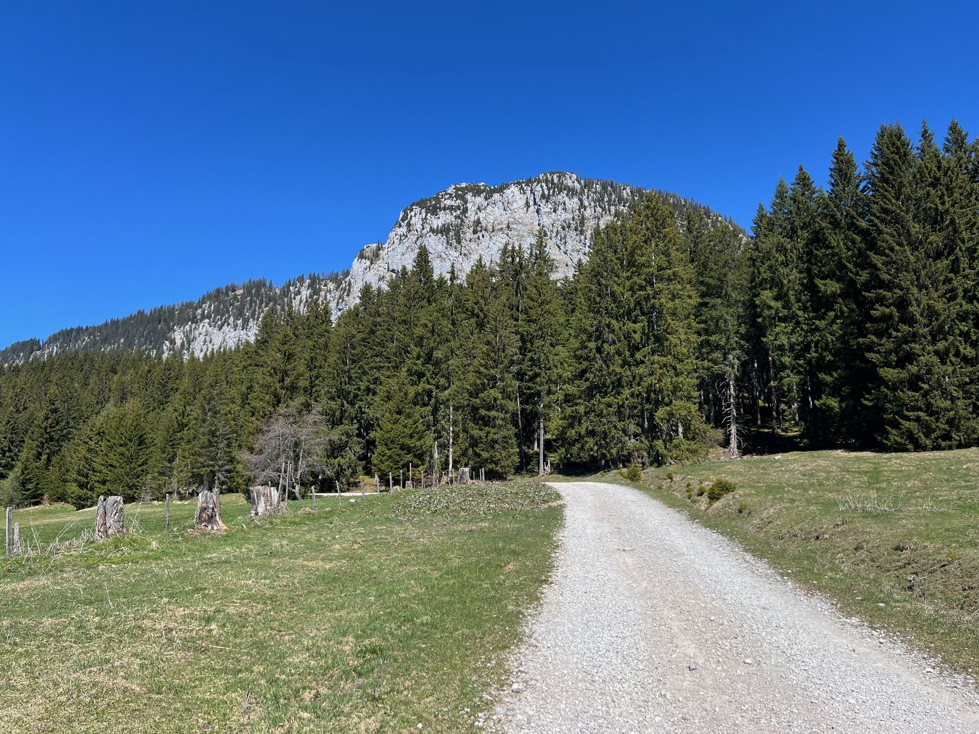
The tour starts at the Schönmoos 2 parking lot (1230 m / 4035 ft). Follow the forest road for 300 m to a fork. Either stay right on the road or take the meadow path toward Hochmölbling...
Start and Approach
The tour starts at the Schönmoos 2 parking lot (1230 m / 4035 ft). Follow the forest road for 300 m to a fork. Either stay right on the road or take the meadow path toward Hochmölbling Hut. For the ascent, follow the forest road until Trail 281 branches off after about 1.6 km. Continue on the forest path, which later rejoins a forest road. After around 2.4 km, take another road to the right and follow signs to the eastern ascent (“Ostanstieg”) of Hochtausing.
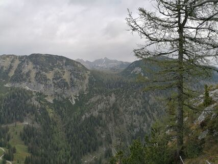
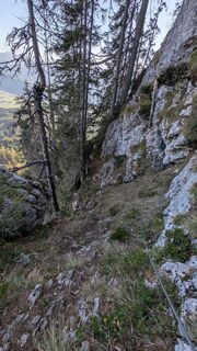
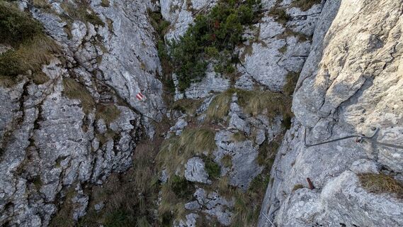
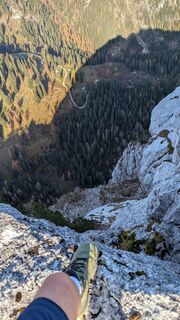
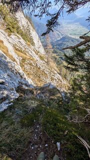
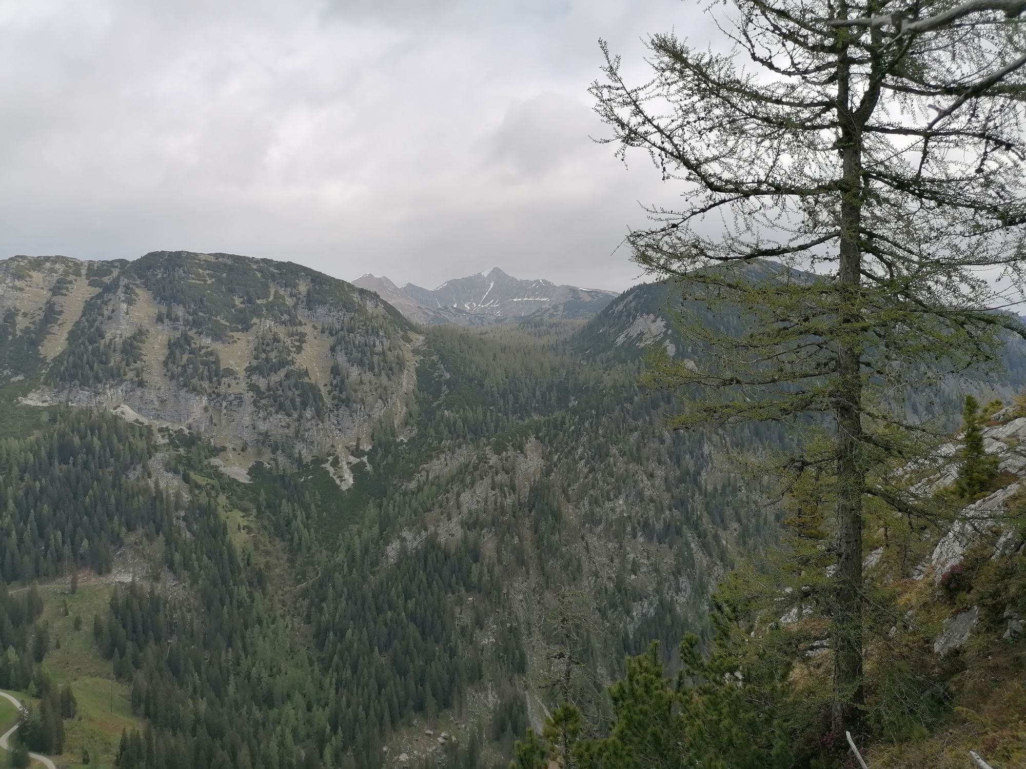
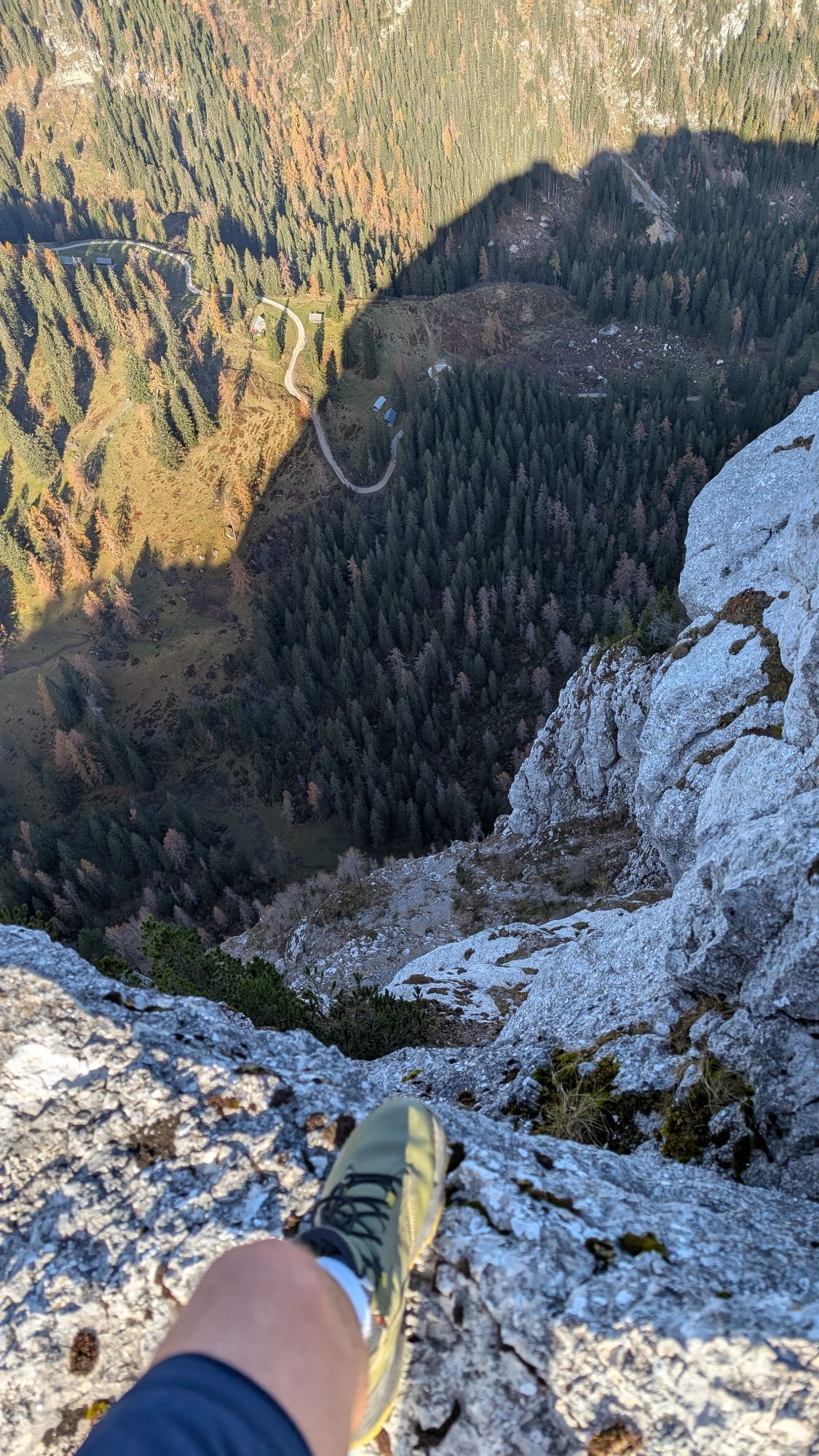
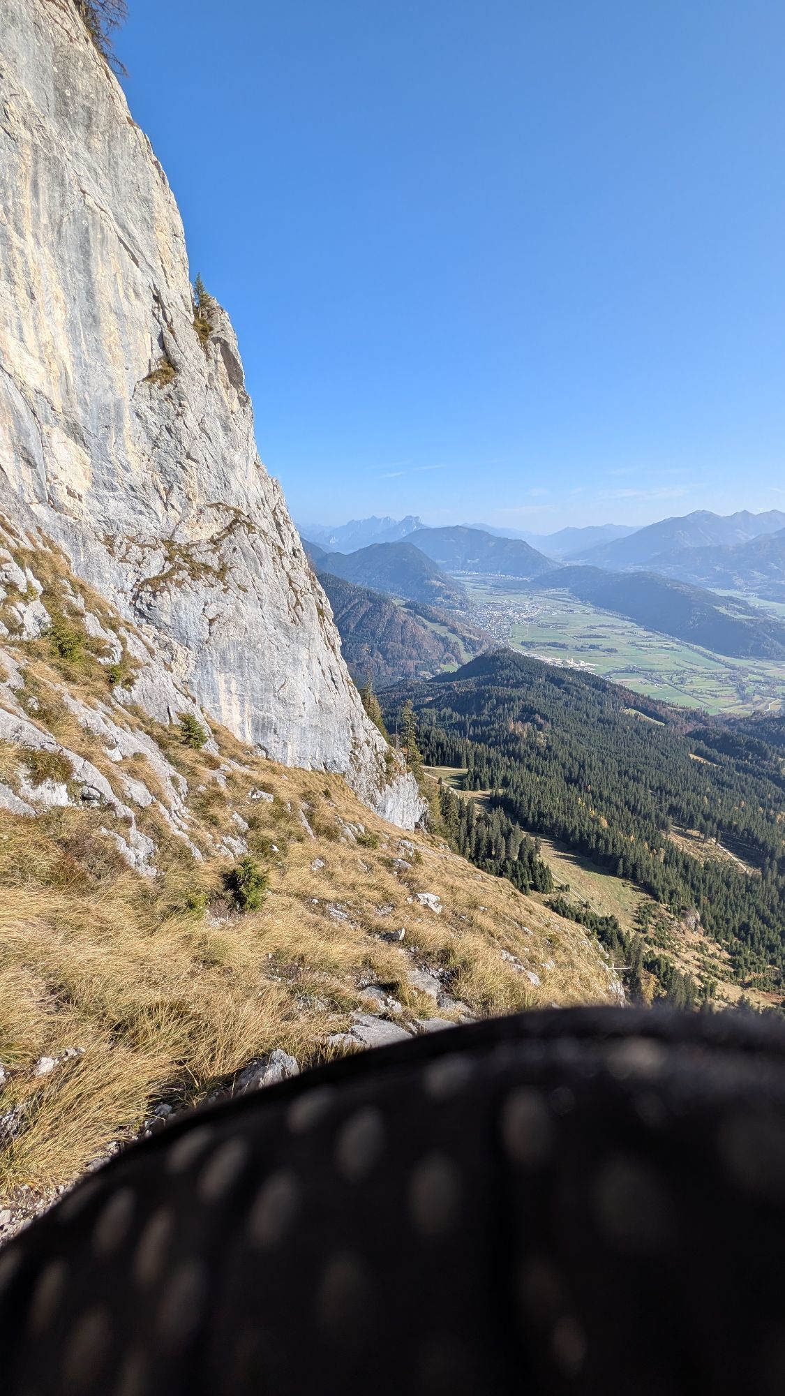
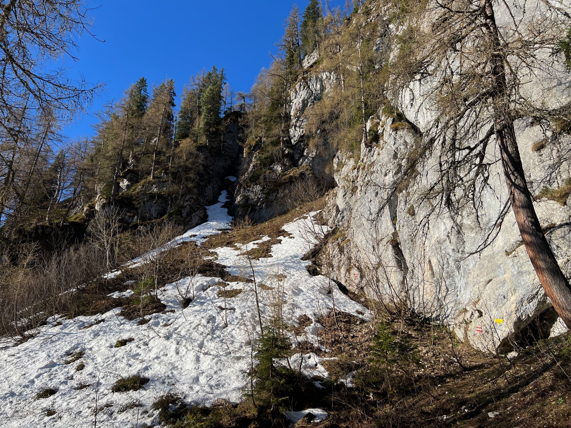
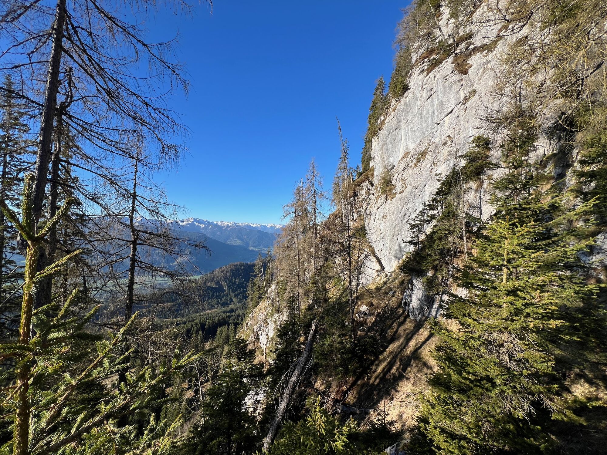
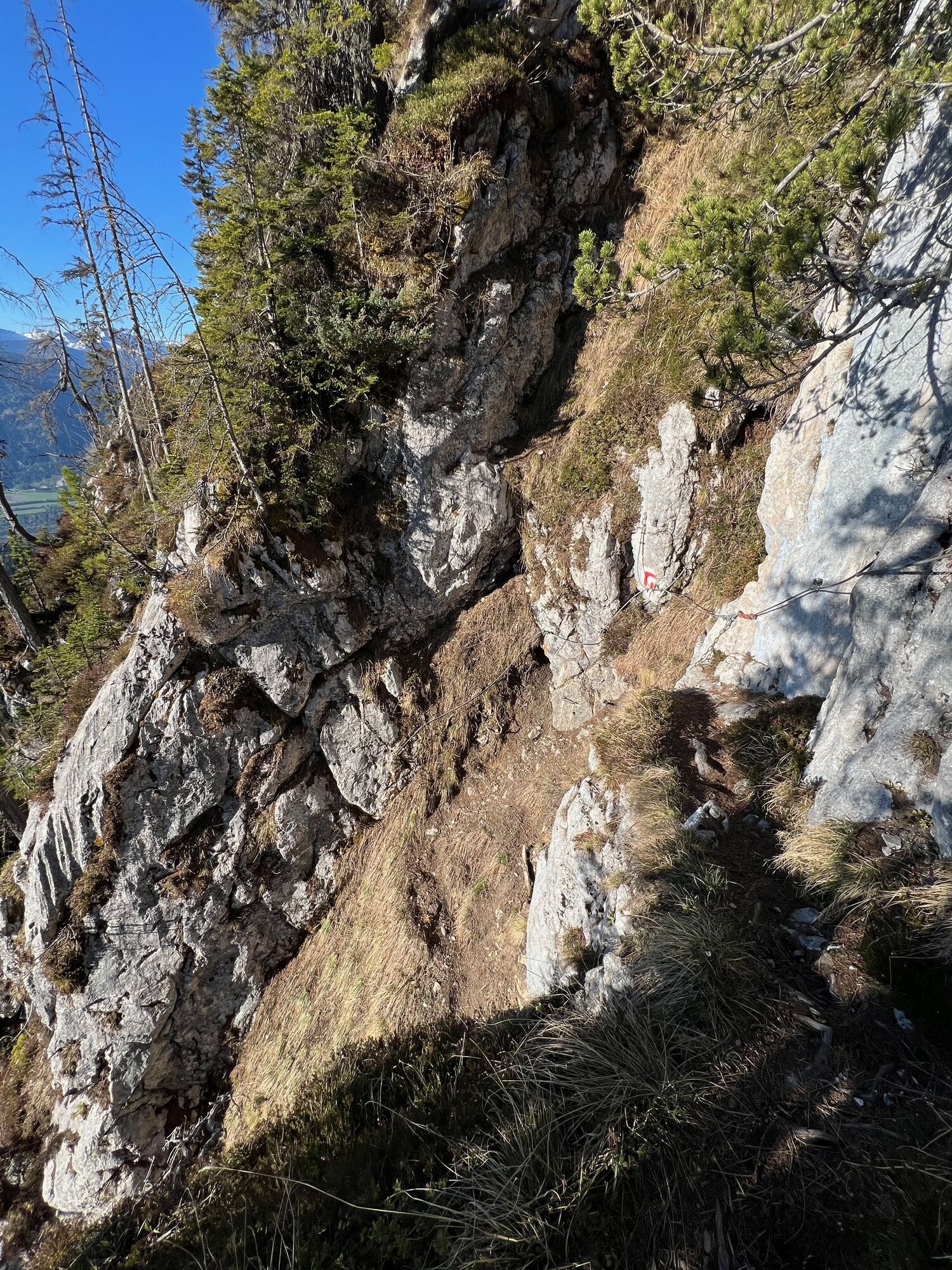
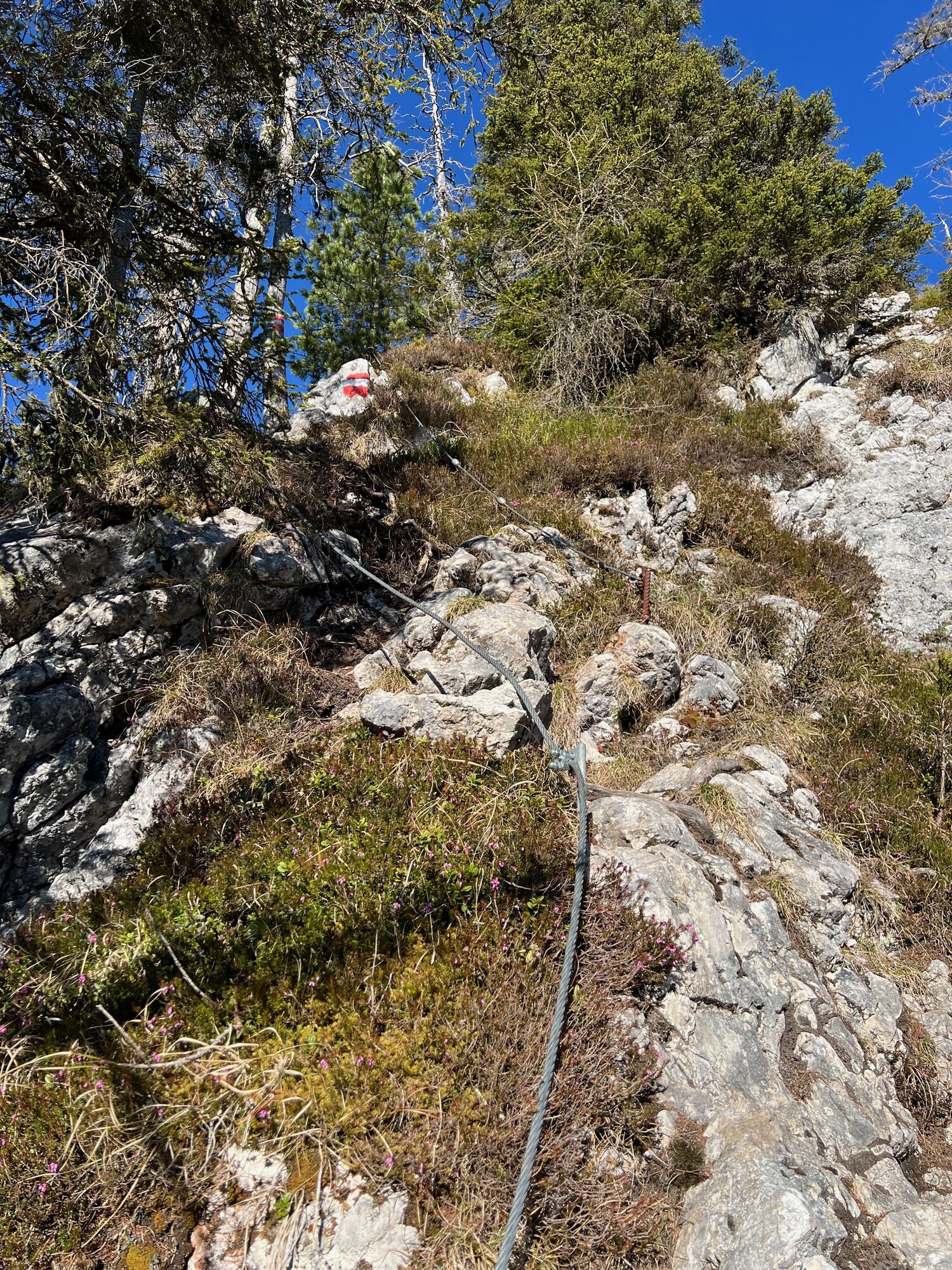
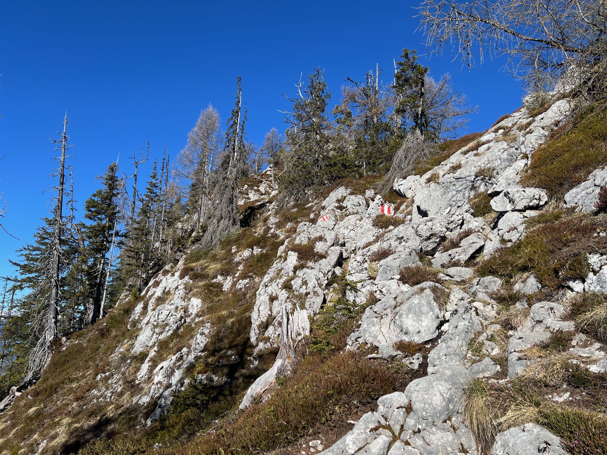
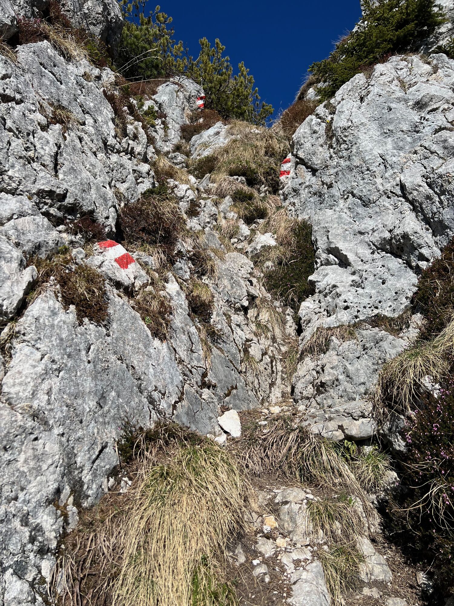
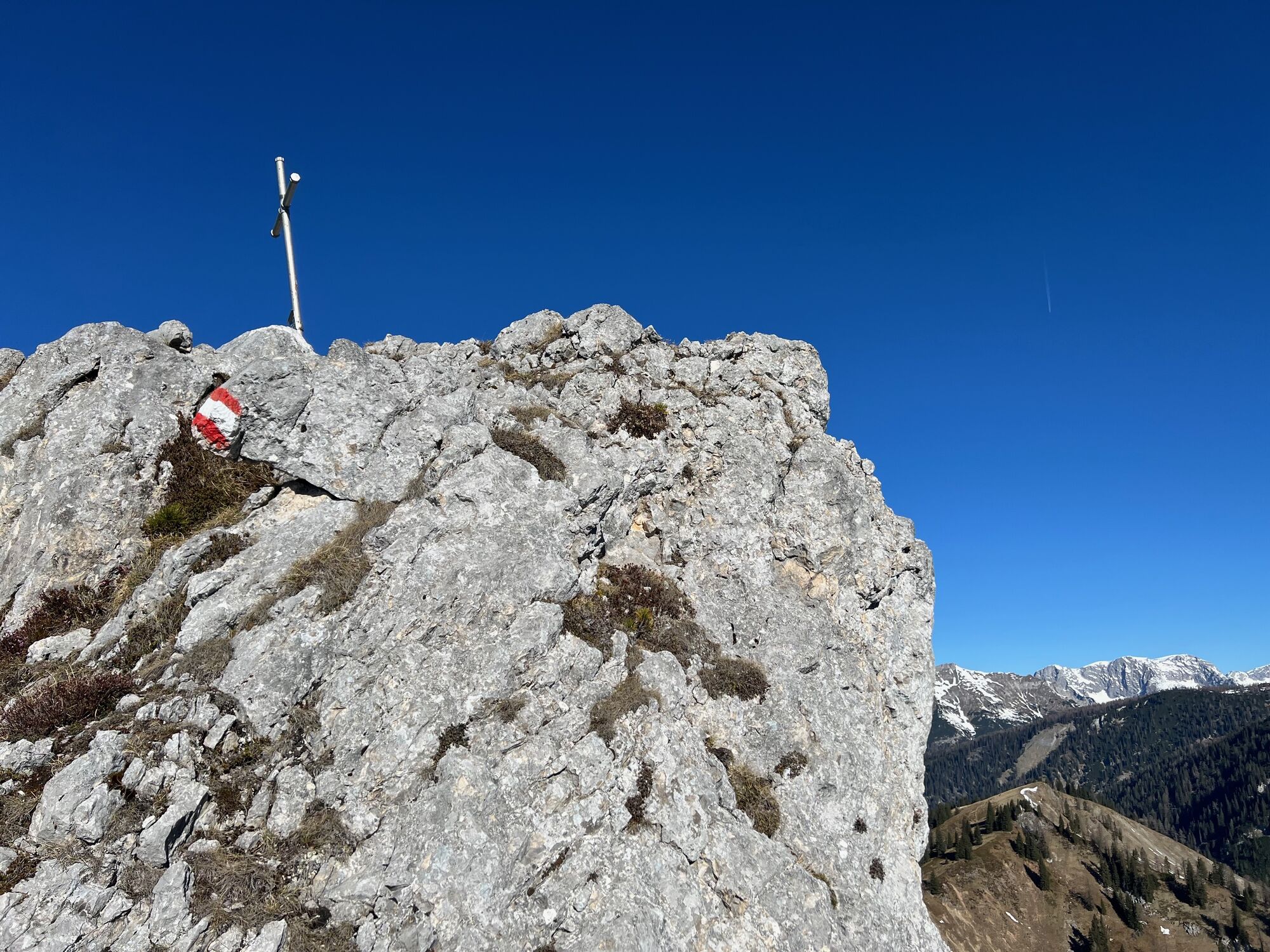
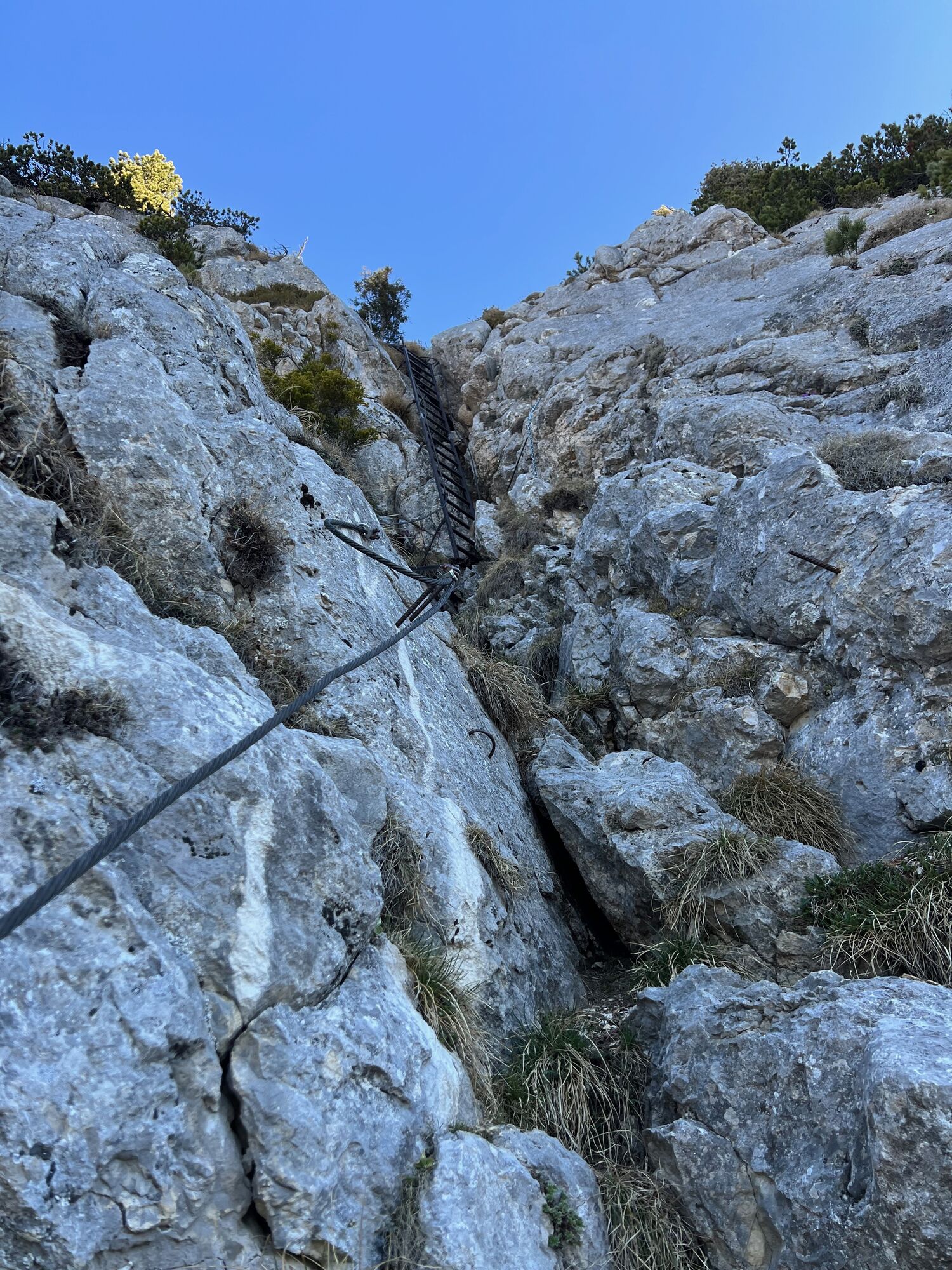
Ascent via the Eastern Route
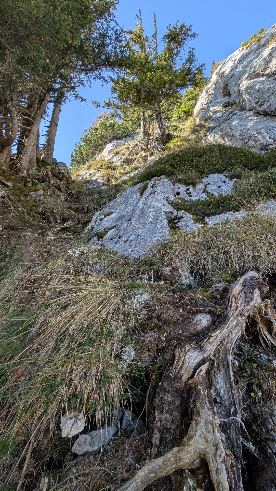
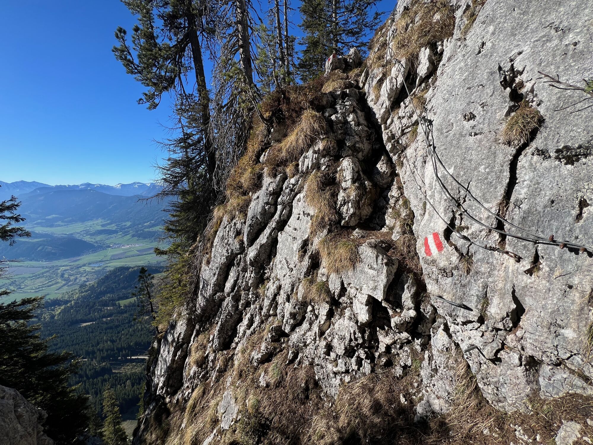
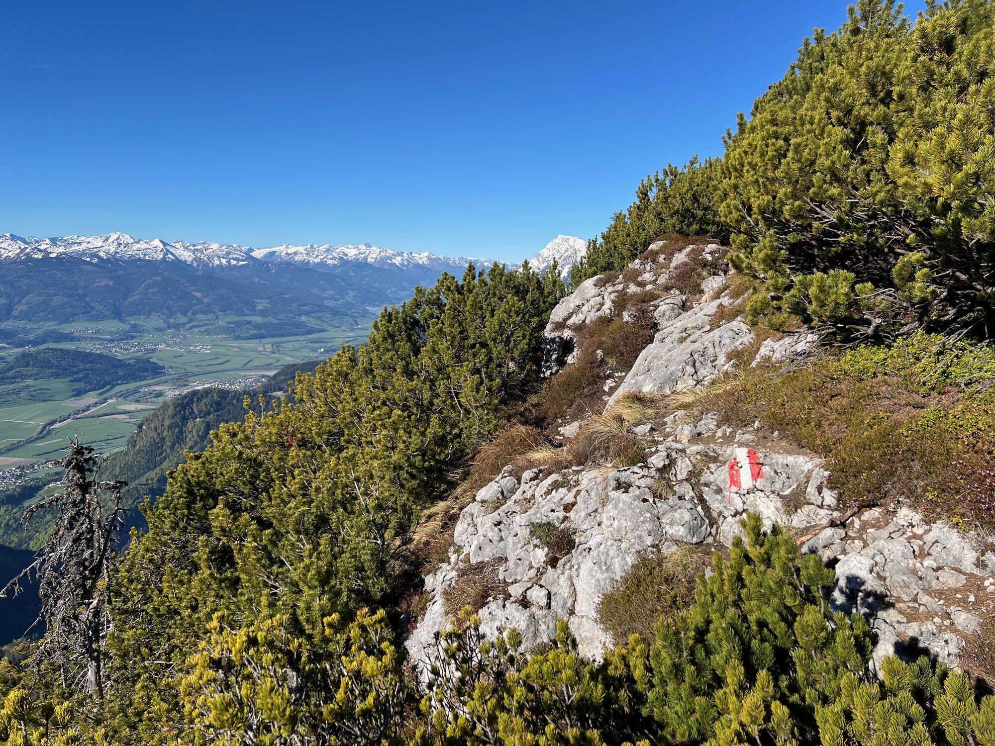
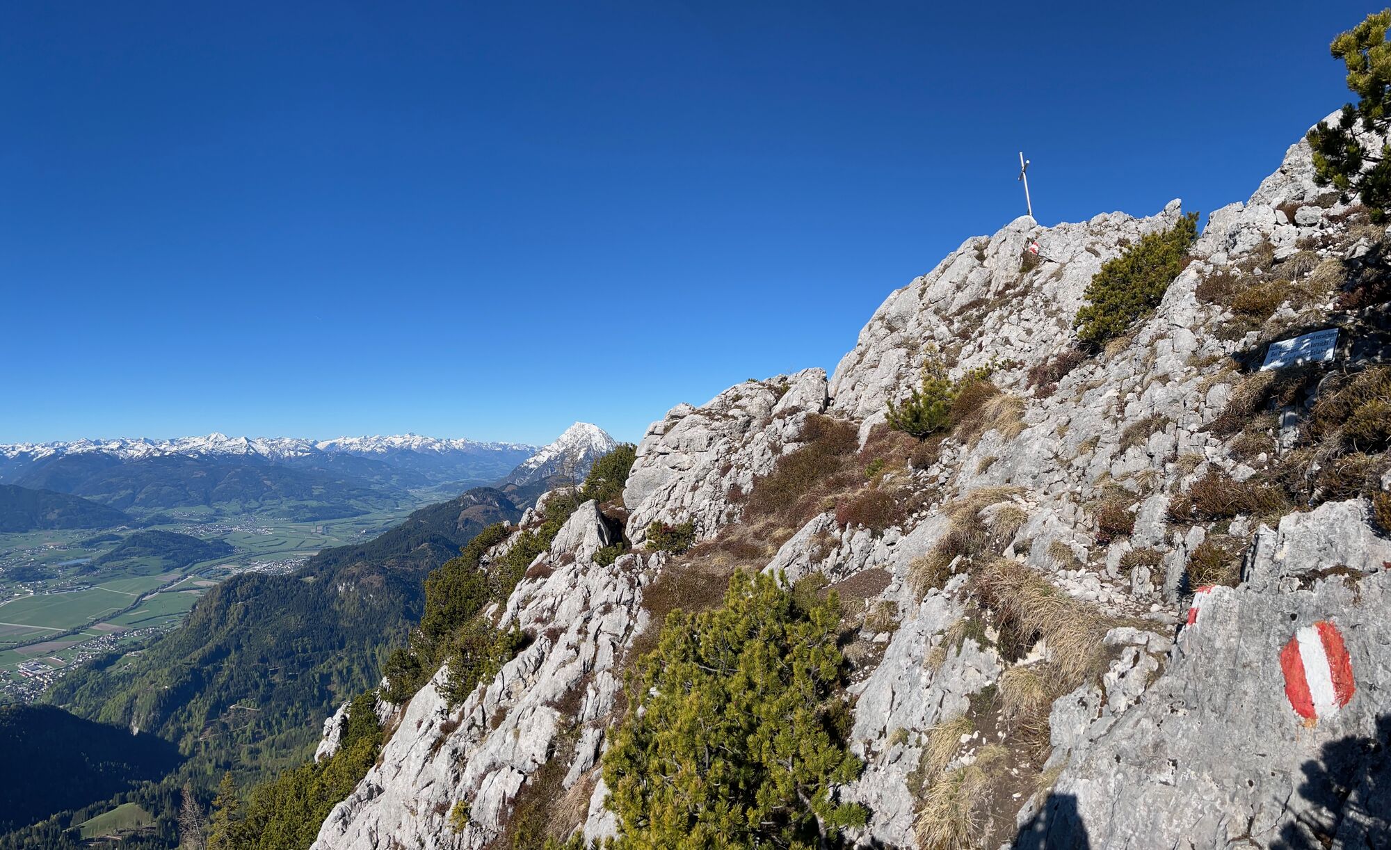
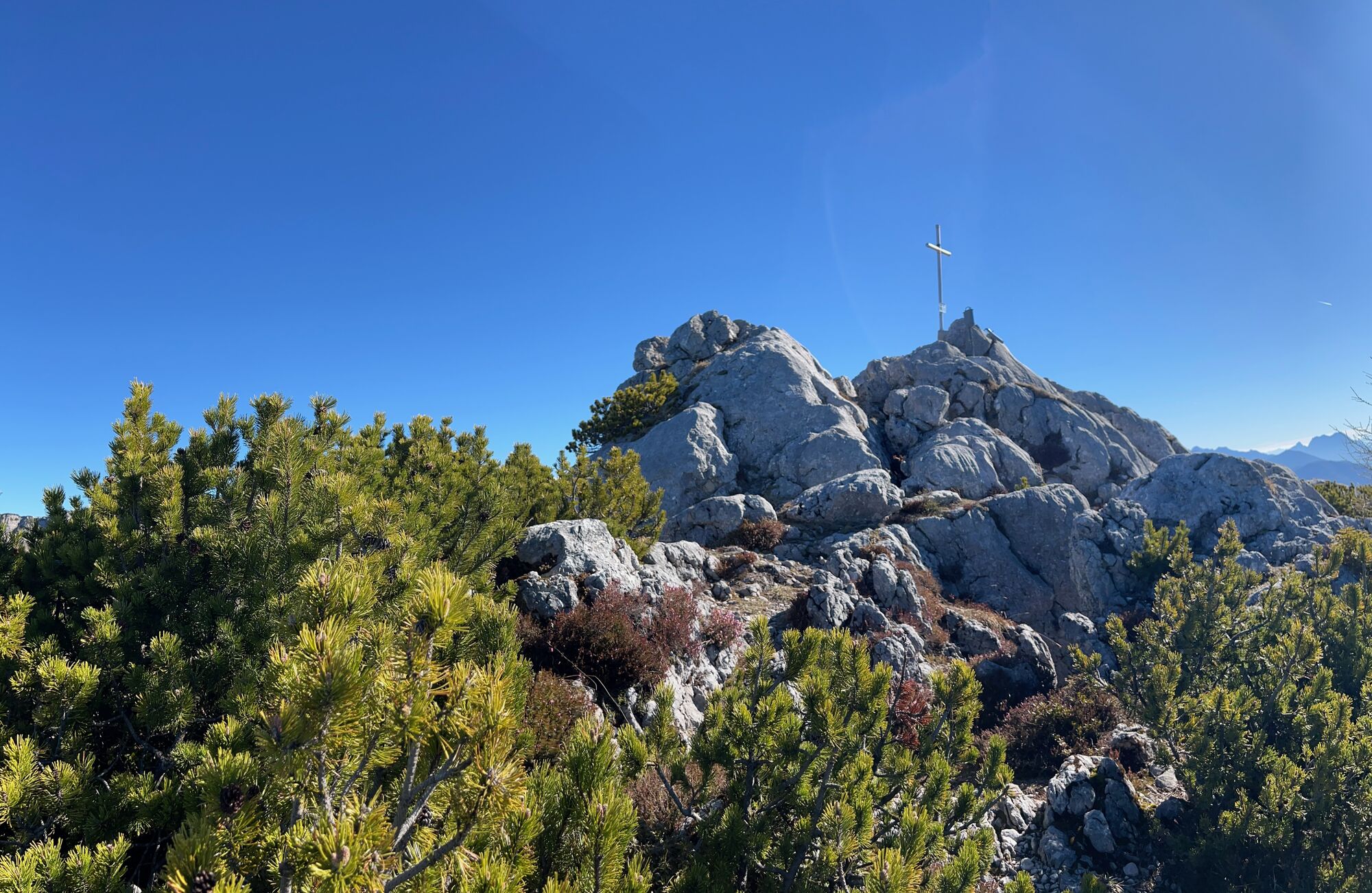
At the start of the Ostanstieg, a helmet is recommended. A via ferrata set is also advisable, as the route is exposed and only partly secured. The steep trail climbs through gullies, rocky sections, and narrow ledges, requiring sure-footedness and a head for heights. Most difficult sections are protected with steel cables, metal rungs, and solid handholds. Technically, the route is moderate (A/B). Red-white-red markings make navigation straightforward. Higher up, the terrain becomes easier, with a short unprotected gully (UIAA 1+) and one final secured downclimb before the route follows the east ridge to the summit cross.
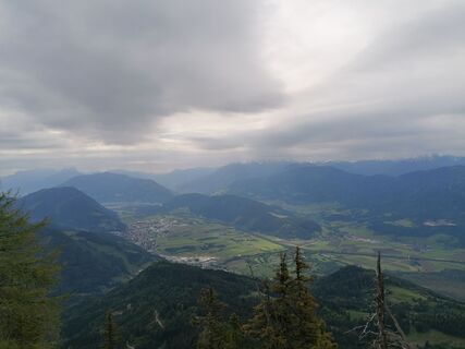
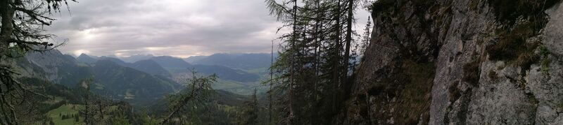
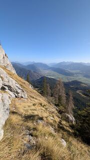
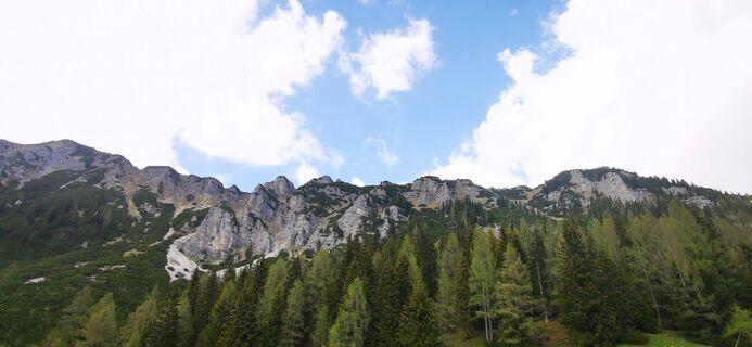
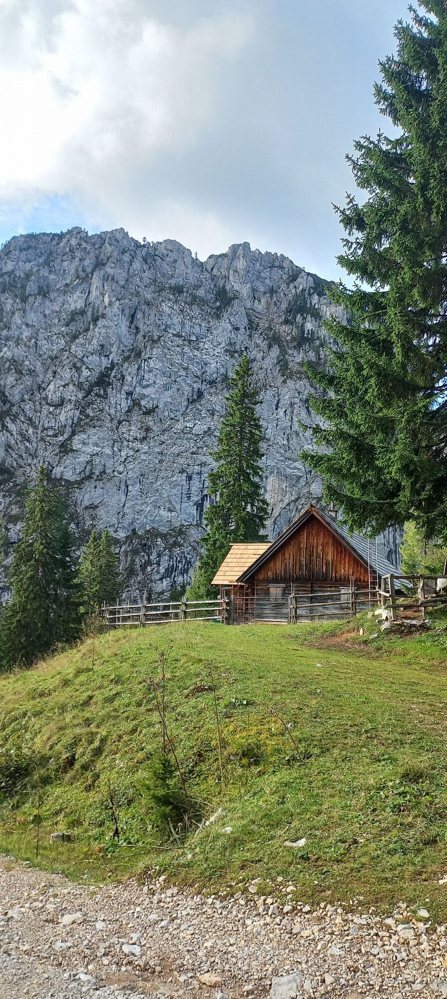
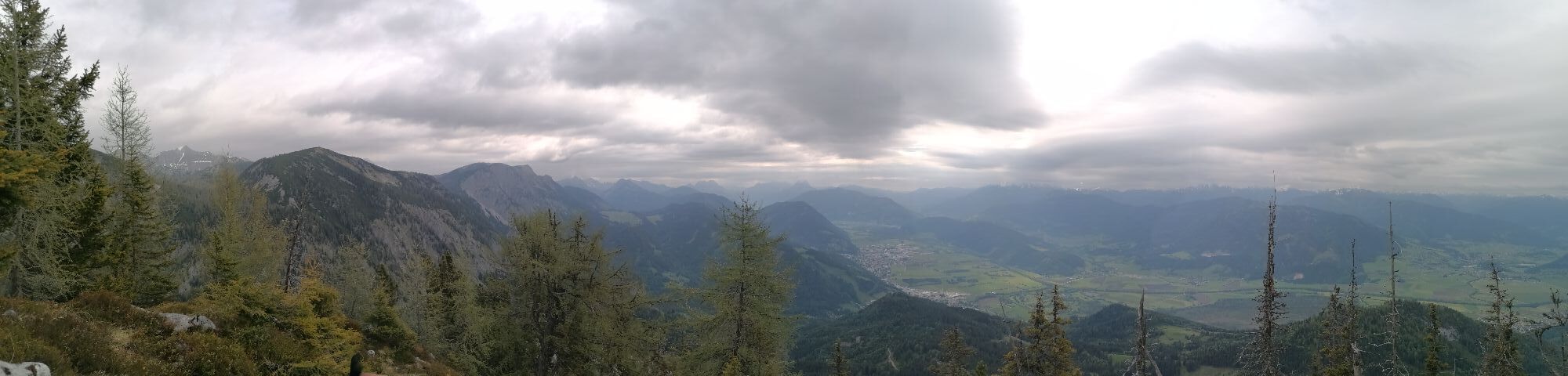
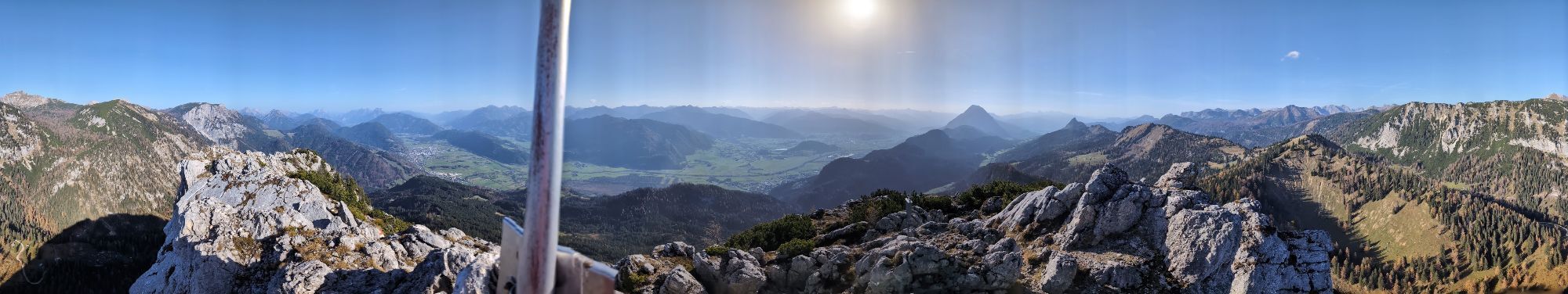
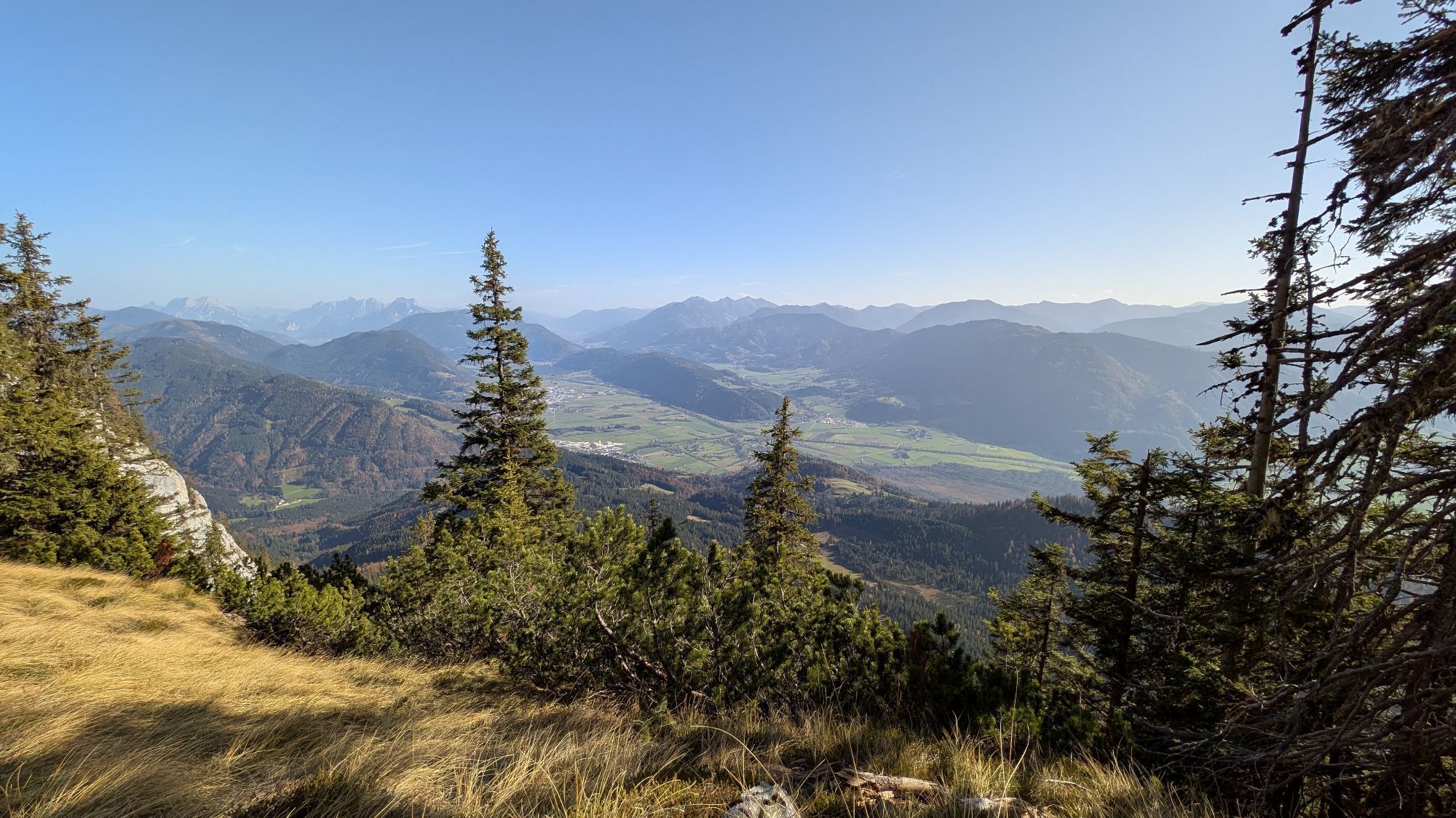
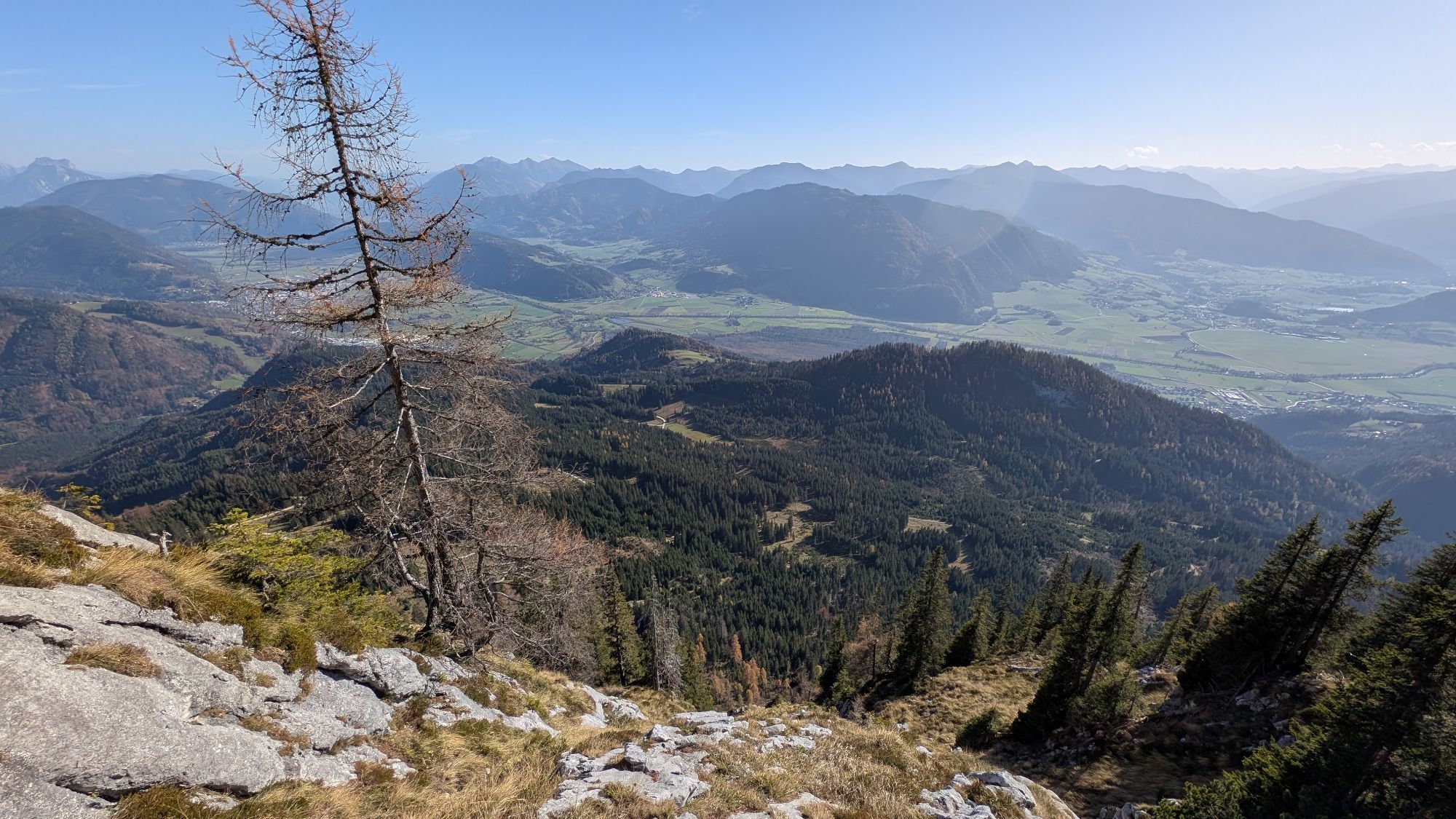
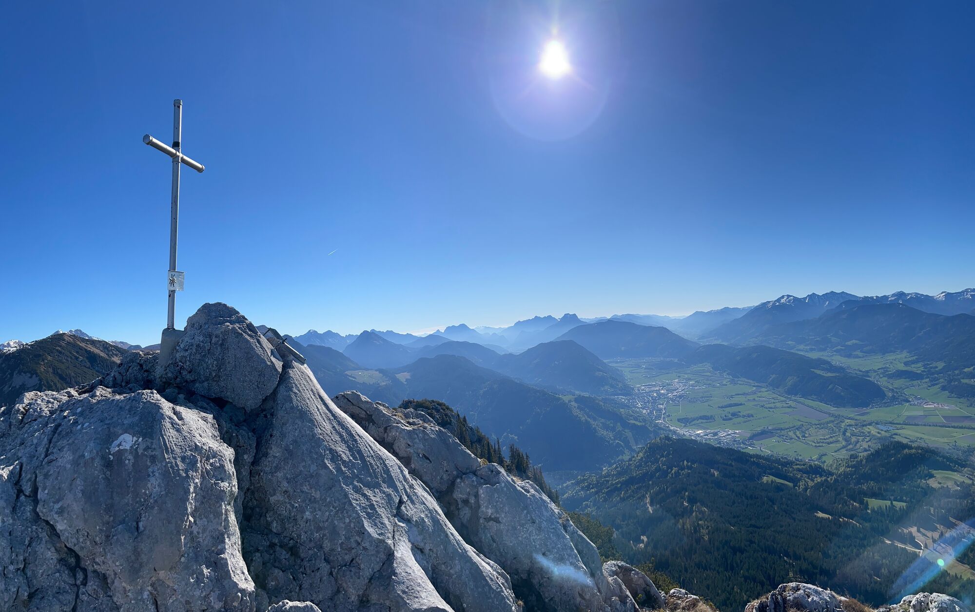
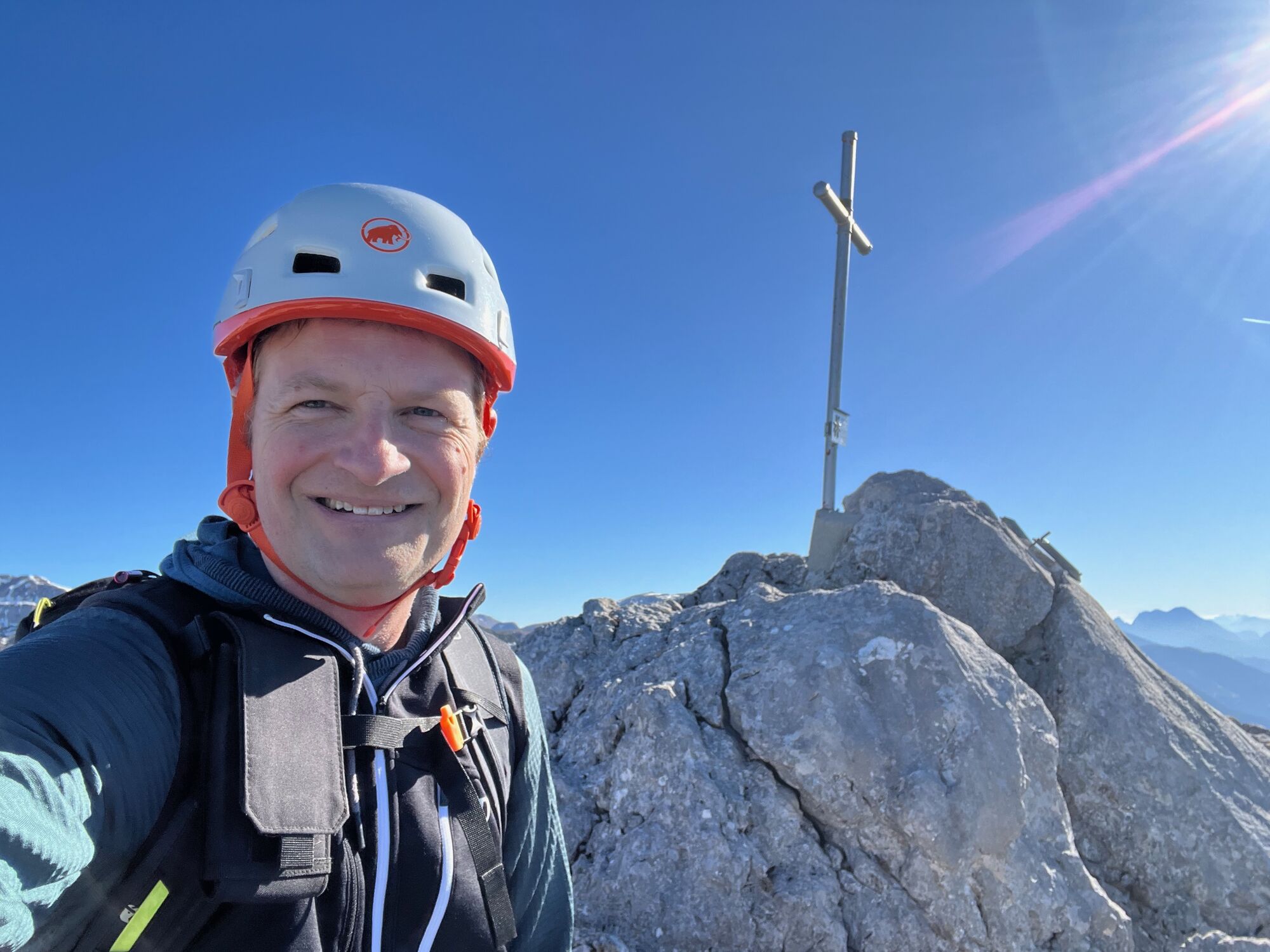
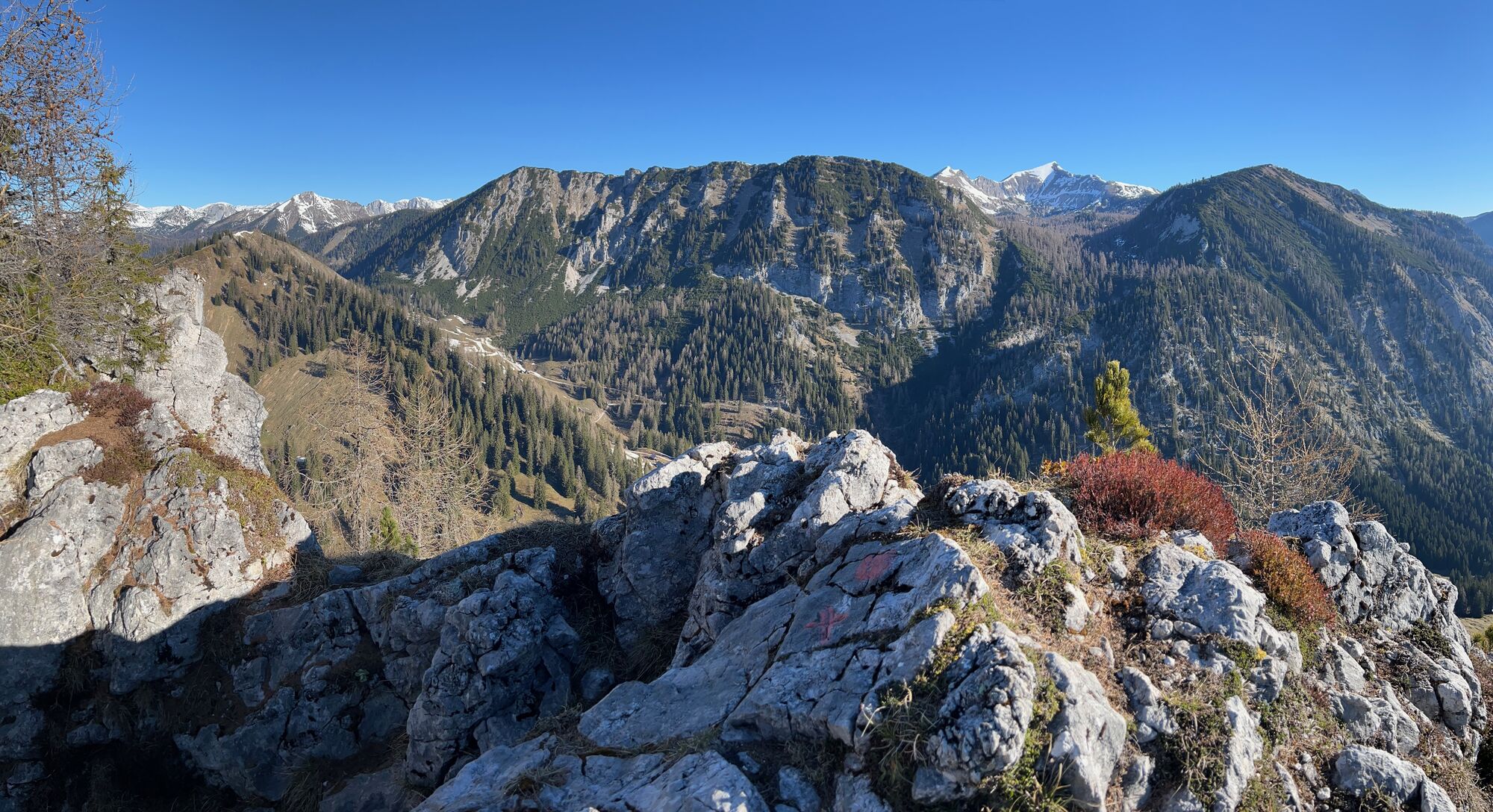
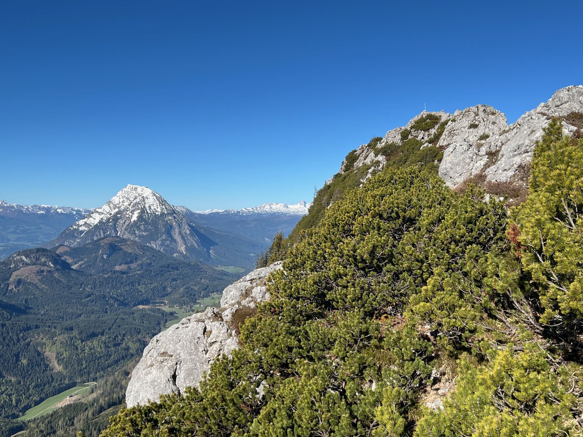
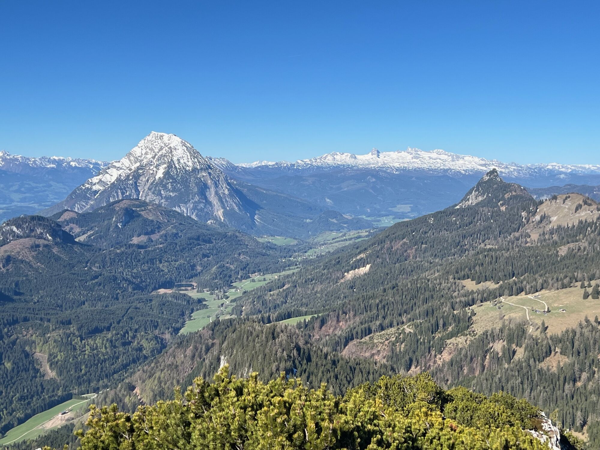
View from the Summit
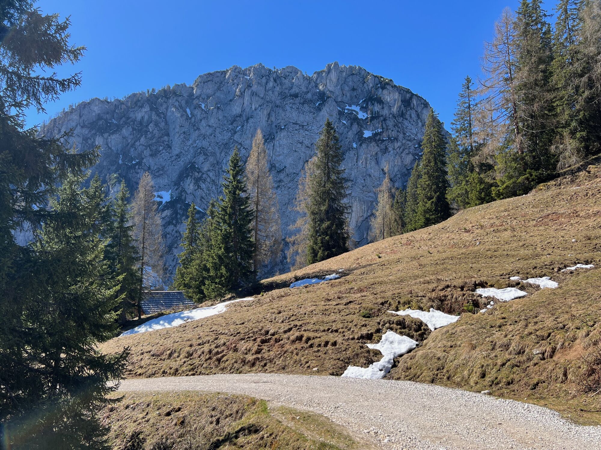
After about 2.5 hours, the summit of Hochtausing (1822 m / 5977 ft) is reached. The panorama includes Liezen and the Gesäuse mountains to the east, Grimming and Dachstein to the west, Hochmölbling to the north, and the Priel group to the northwest.
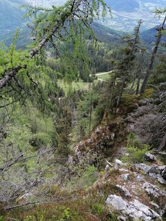
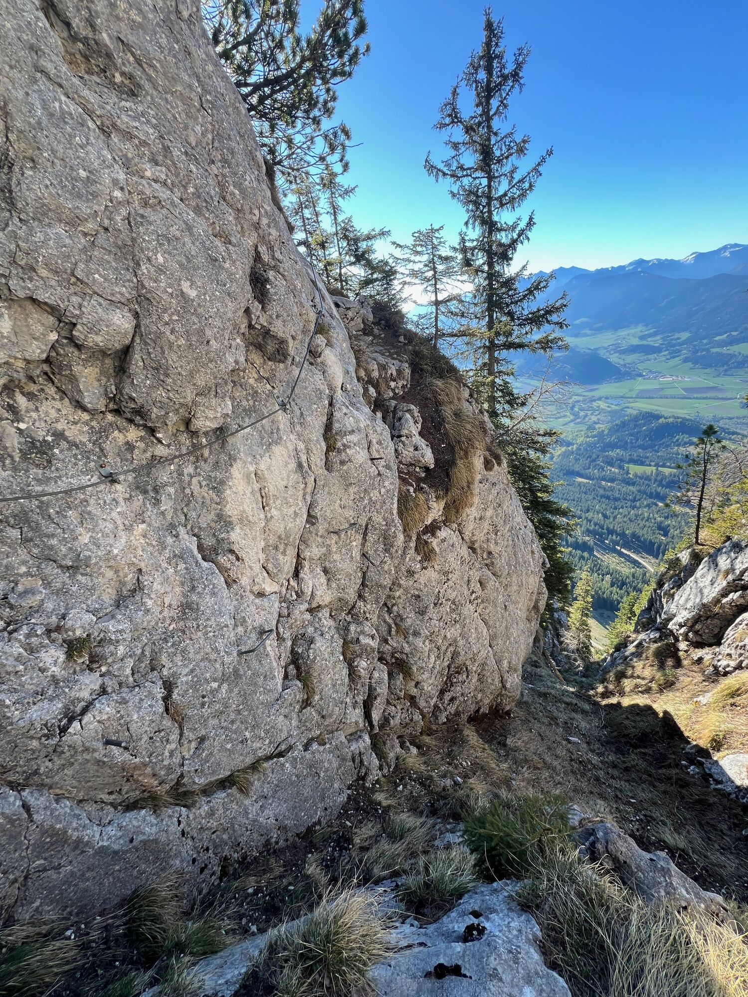
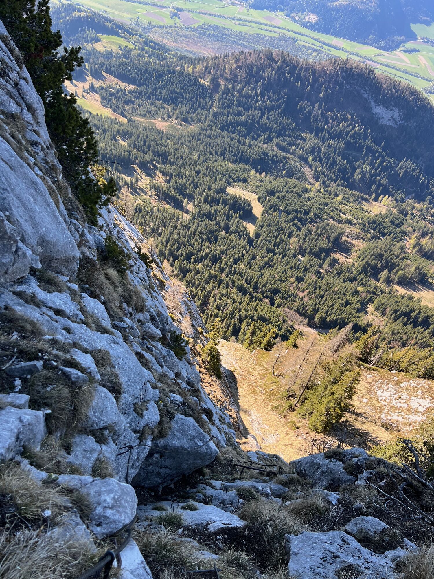
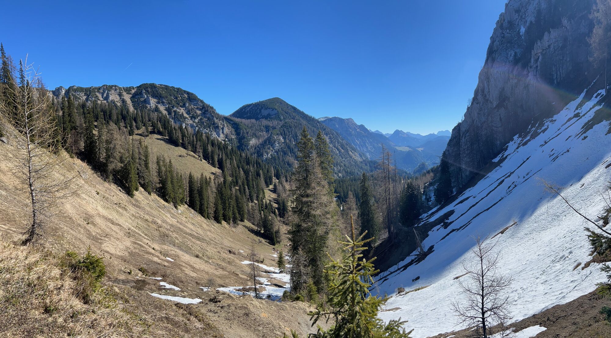
Descent via the Tonisteig
The descent follows the west ridge via the Tonisteig (B/C). A narrow path leads to the fixed ropes. The route descends steeply down the rock face with two ladders, cables, and solid holds. Although technically manageable, it is exposed and not ideal for those with a fear of heights. After about 30 minutes, a saddle at 1570 m (5151 ft) is reached. Descent through Tausingkar is forbidden, so continue on marked trail 282a along the southwest flank of Sonnwendköpperl.
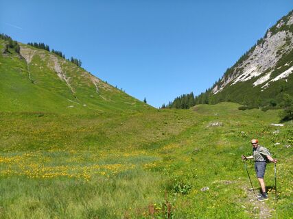
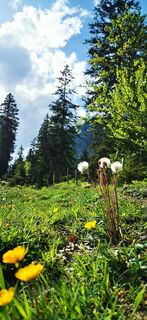
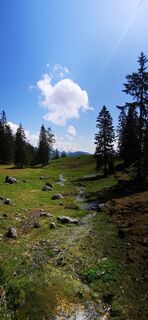
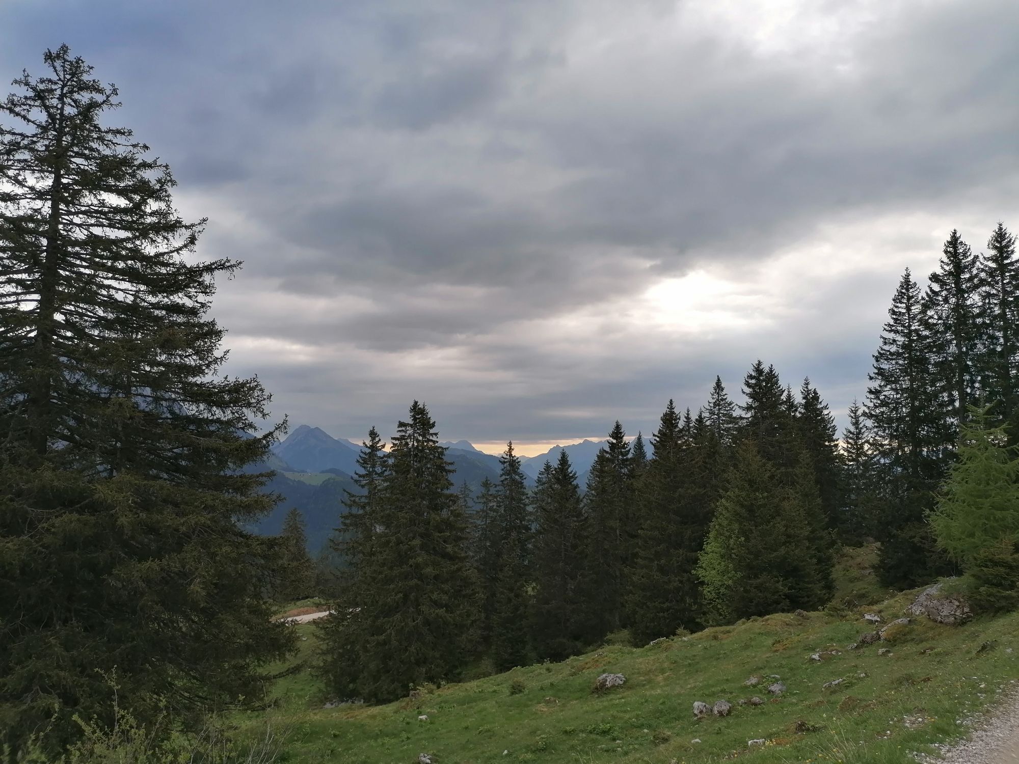
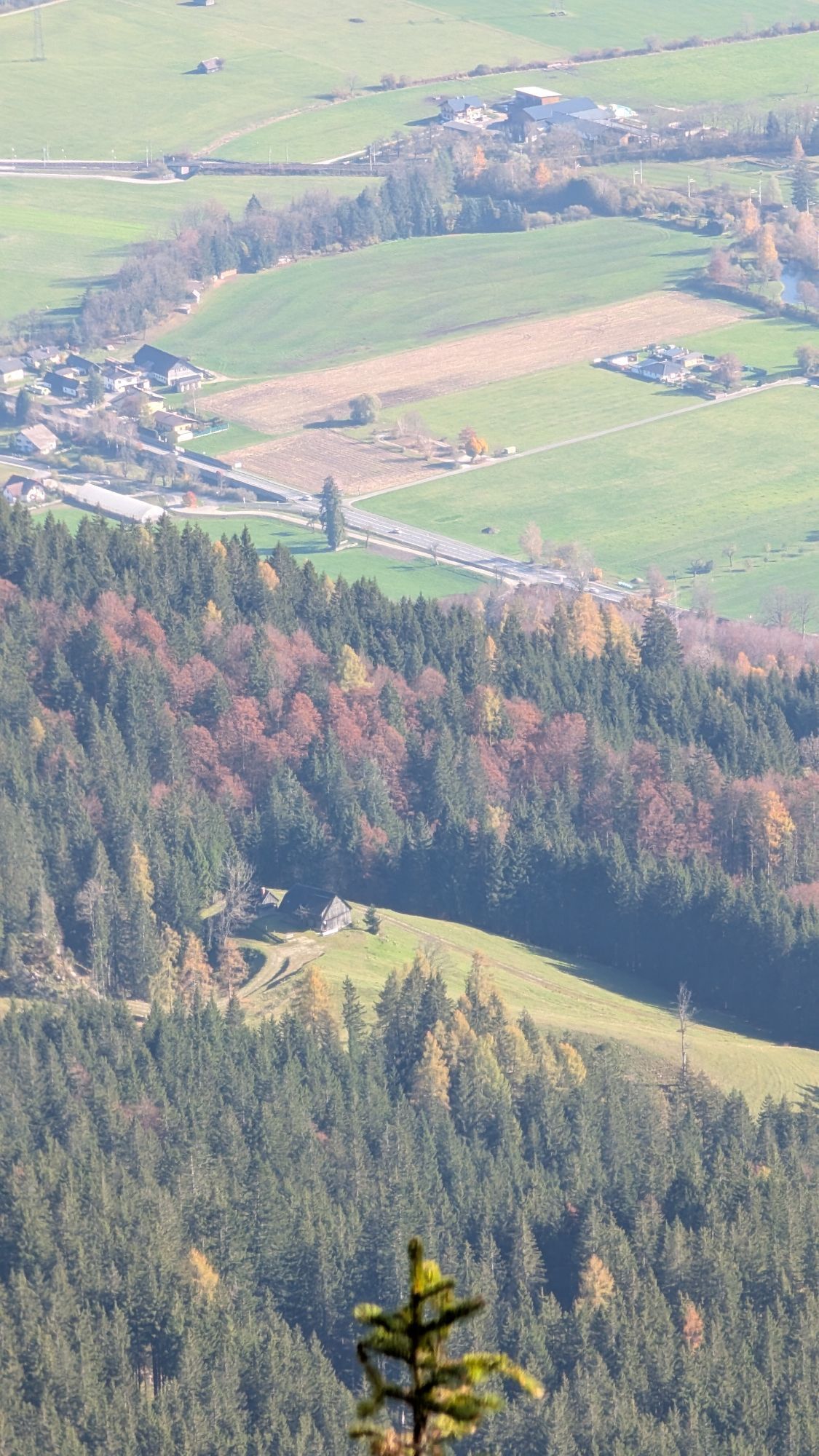
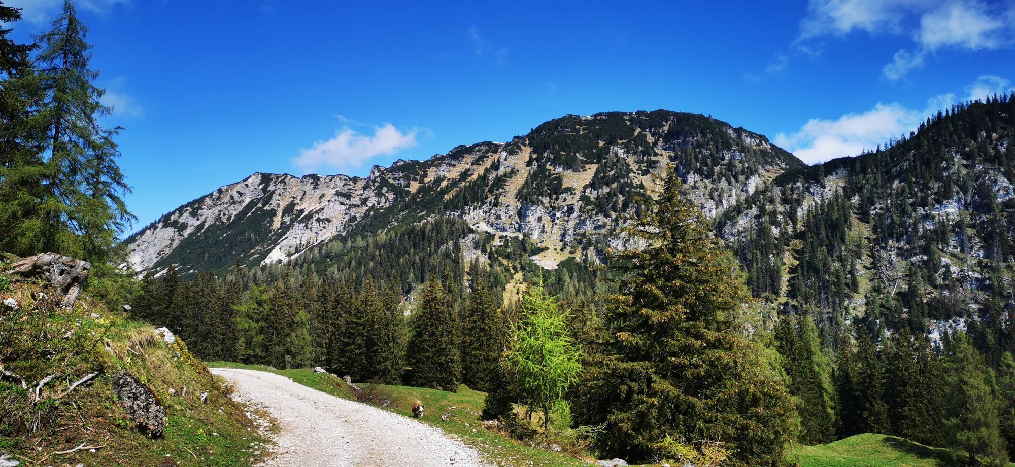
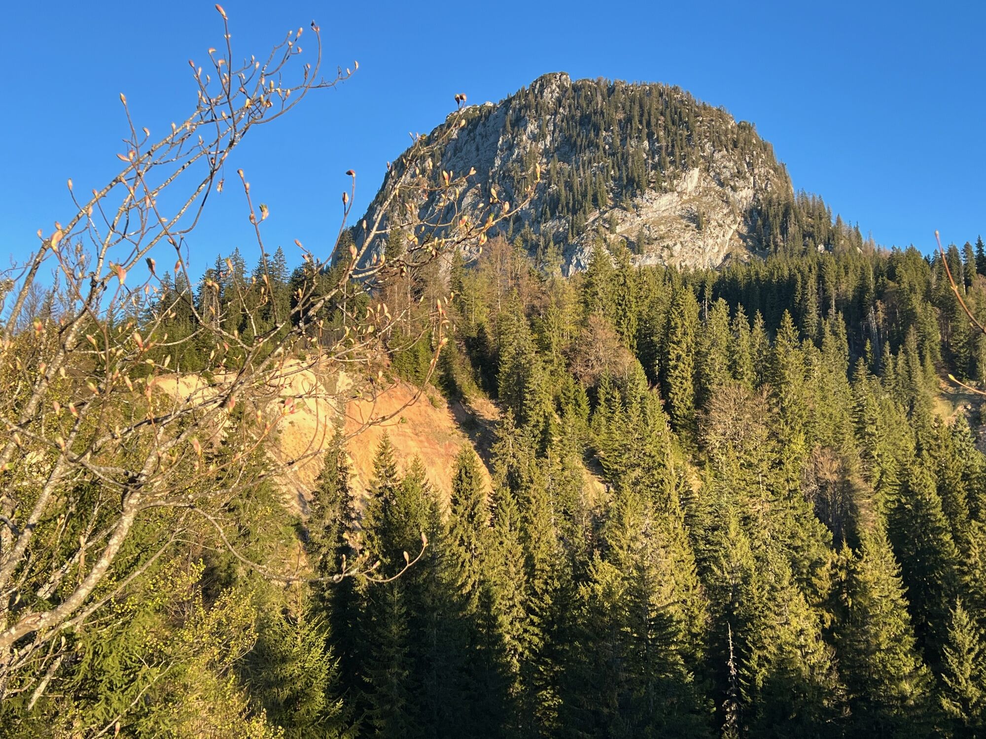
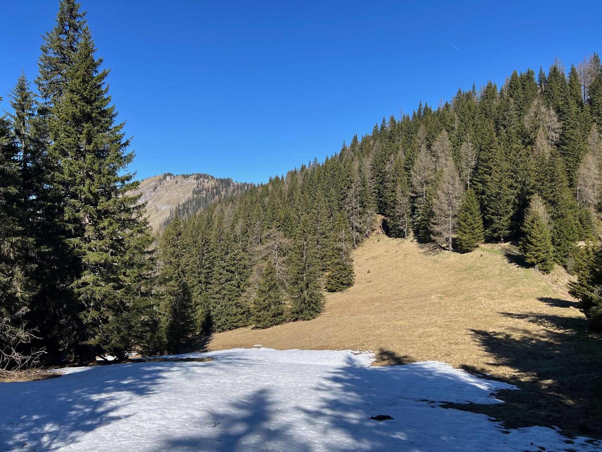
Further Descent via Schneehitzalm and Langpoltenalm
After 20 minutes, reach Schneehitzalm. Keep right and continue on the hiking trail. The route then follows scenic alpine terrain and later a forest road via Langpoltenalm. The north face of Hochtausing remains in view. Eventually, rejoin the ascent route or take the more direct forest path, which returns to the original junction. From there, it is only 300 m back to the parking lot.
Conclusion
This is a varied and rewarding mountain tour with exposed via ferrata sections, scenic ridges, and outstanding panoramic views. Highly recommended for experienced hikers who enjoy adventurous alpine routes.

Oui
Oui
all helmet and via ferrata set
Avoid the eastern ascent at all costs when it's wet!
Schönmoos 2 parking lot in Wörschach
Parcours populaires à proximité
-
5,0
RundWanderWelt Hinterstoder - Polsterlucken-Runde
Randonnée 3,94 km -
4,4
Spital am Pyhrn: Wurzeralm - Dümlerhütte - Rote Wand
moyenRandonnée 10,1 km -
4,3
Wurzeralm NaturErlebnisWelt - 2 Millionen Jahren in 2 Stunden
Randonnée 6,09 km -
4,9
Nazogel und Angerkogel
moyenRandonnée 10,9 km -
4,9
Gindlhorn & Marterlweg ab Pürgg
moyenChemin thématique 6,74 km -
4,5
Rundweg Tauplitz
moyenRandonnée 7,44 km -
4,0
Hinterstoder - Großer Priel
difficileRandonnée 10,7 km -
4,9
Bergtour auf den Grimming
difficileRandonnée 9,93 km -
4,0
Vorderstoder - Zellerhütte
moyenRandonnée 11,1 km -
3,9
Wurzeralm - Warscheneck
difficileRandonnée 12,8 km
Randonnée et suivi


Ne manquez pas les offres et l'inspiration pour vos prochaines vacances
Votre adresse électronique a été ajouté à la liste de diffusion.