





Steal Waterfall | Longer loop

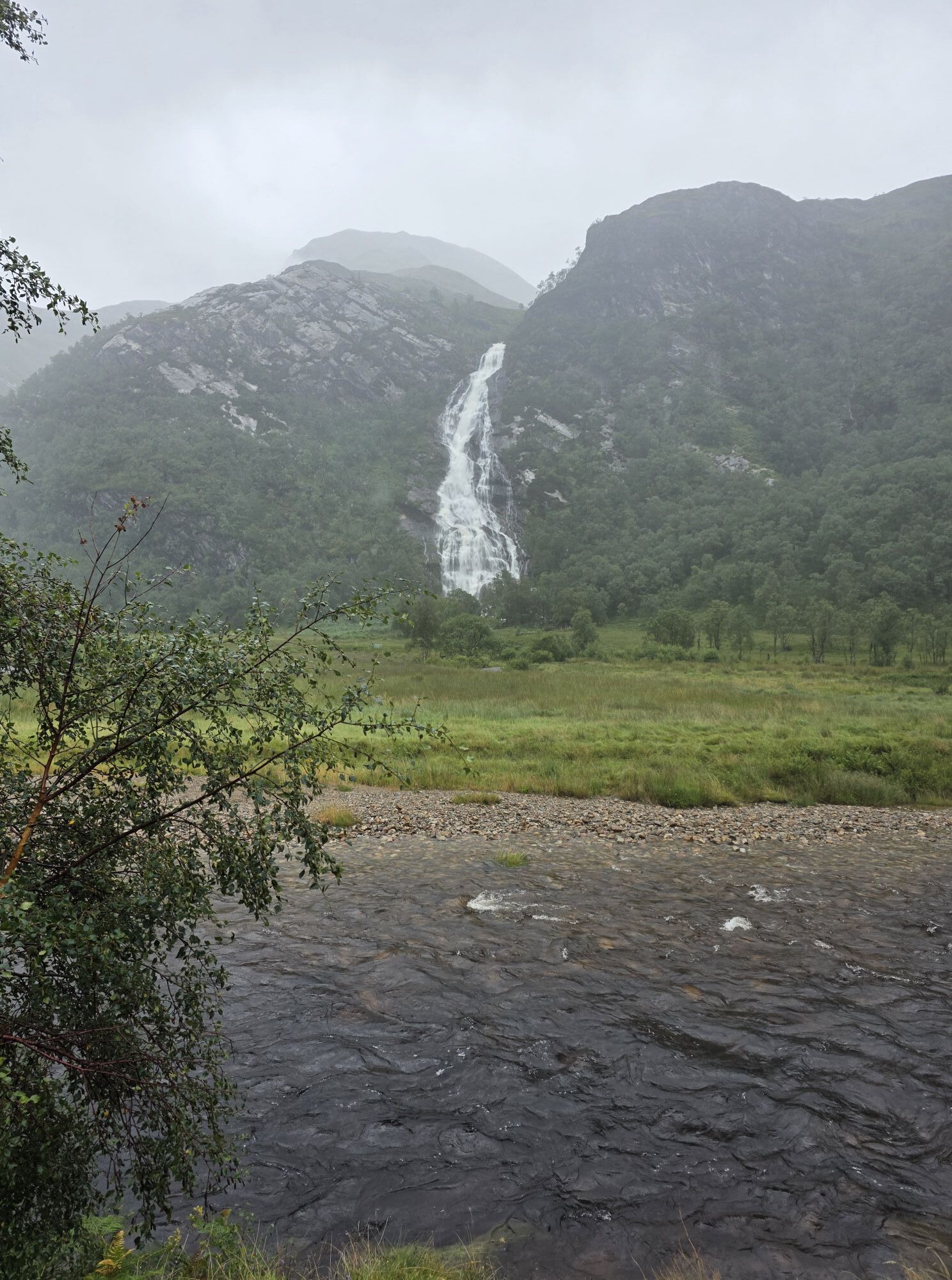
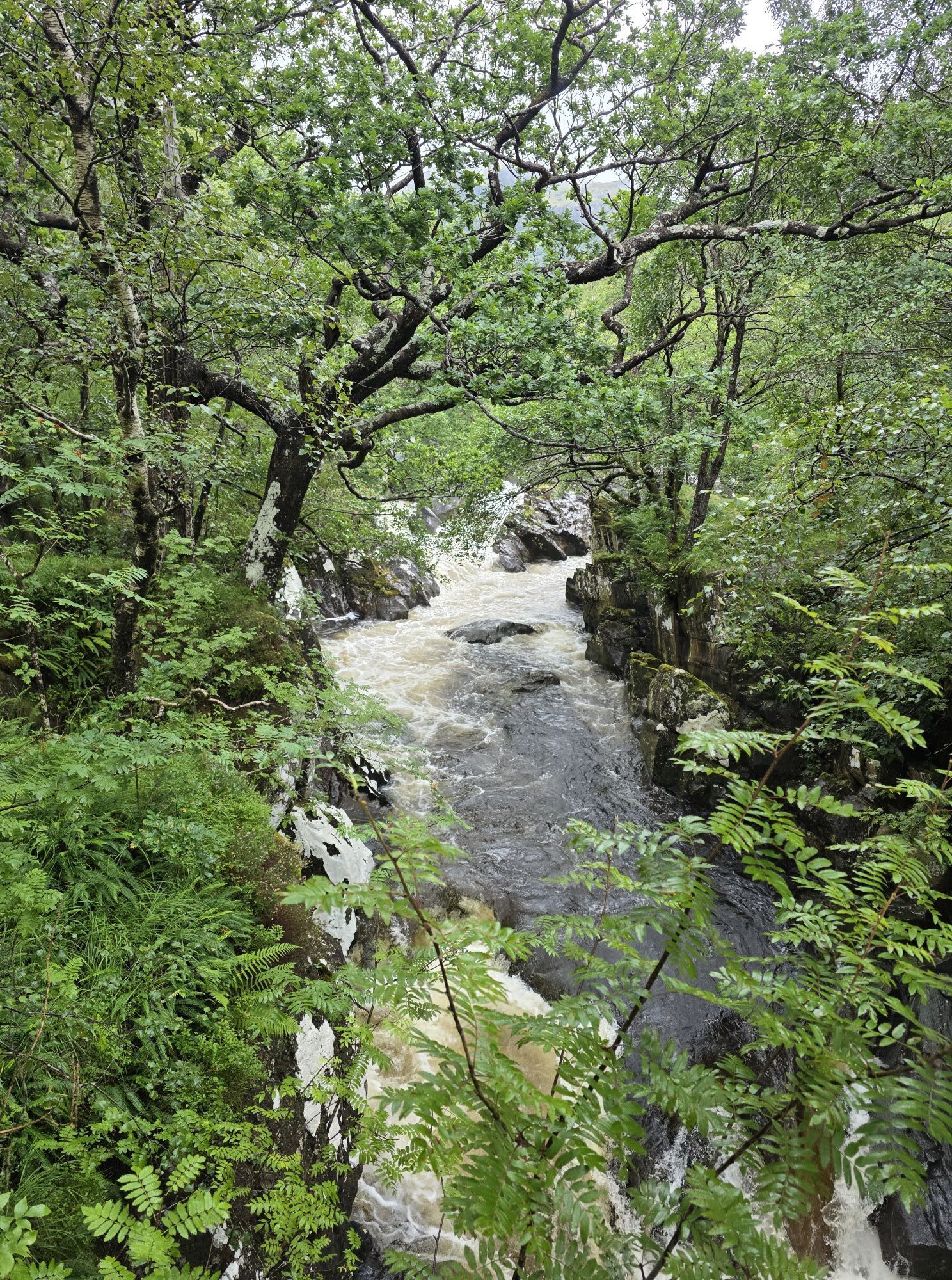
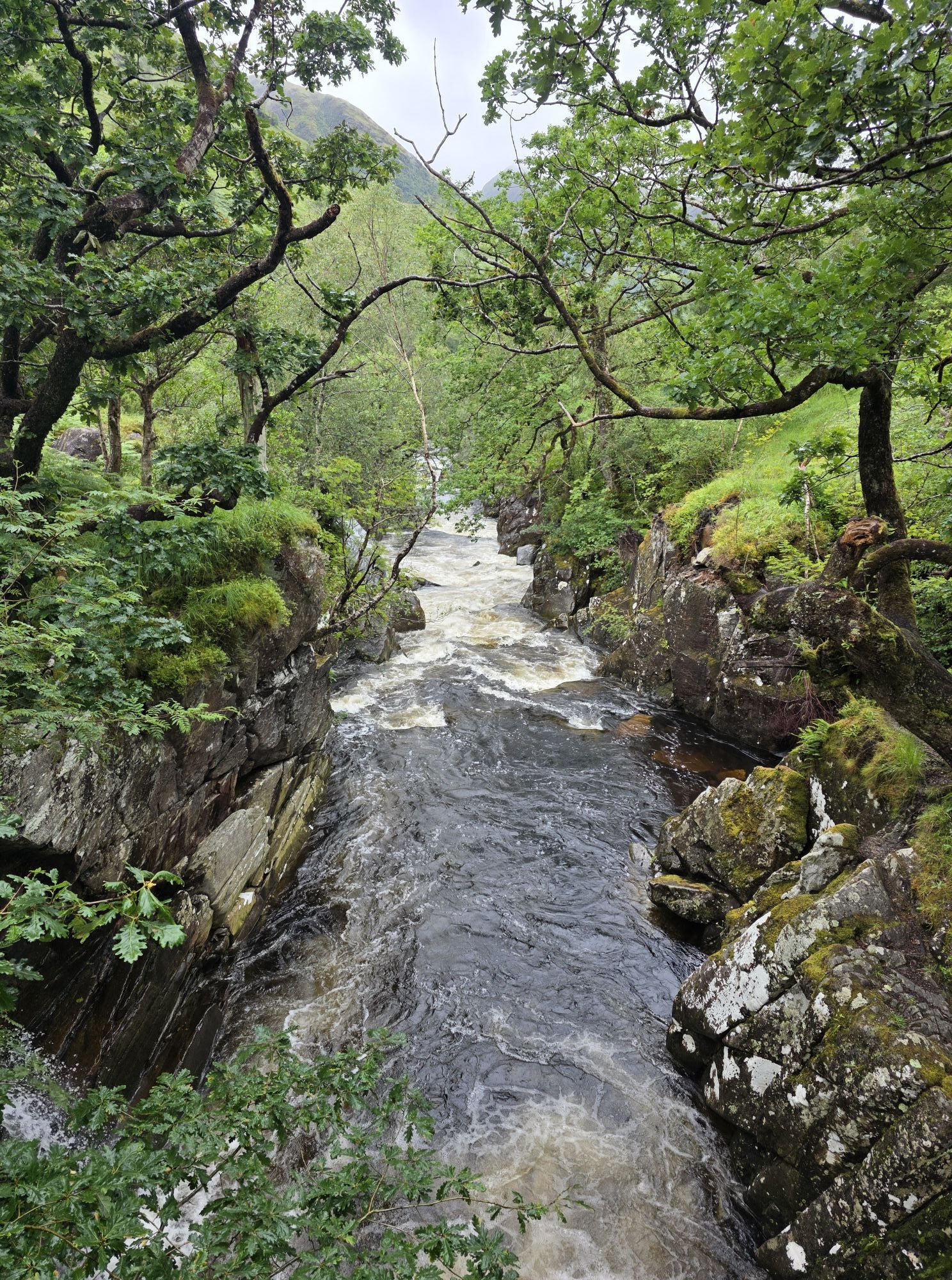
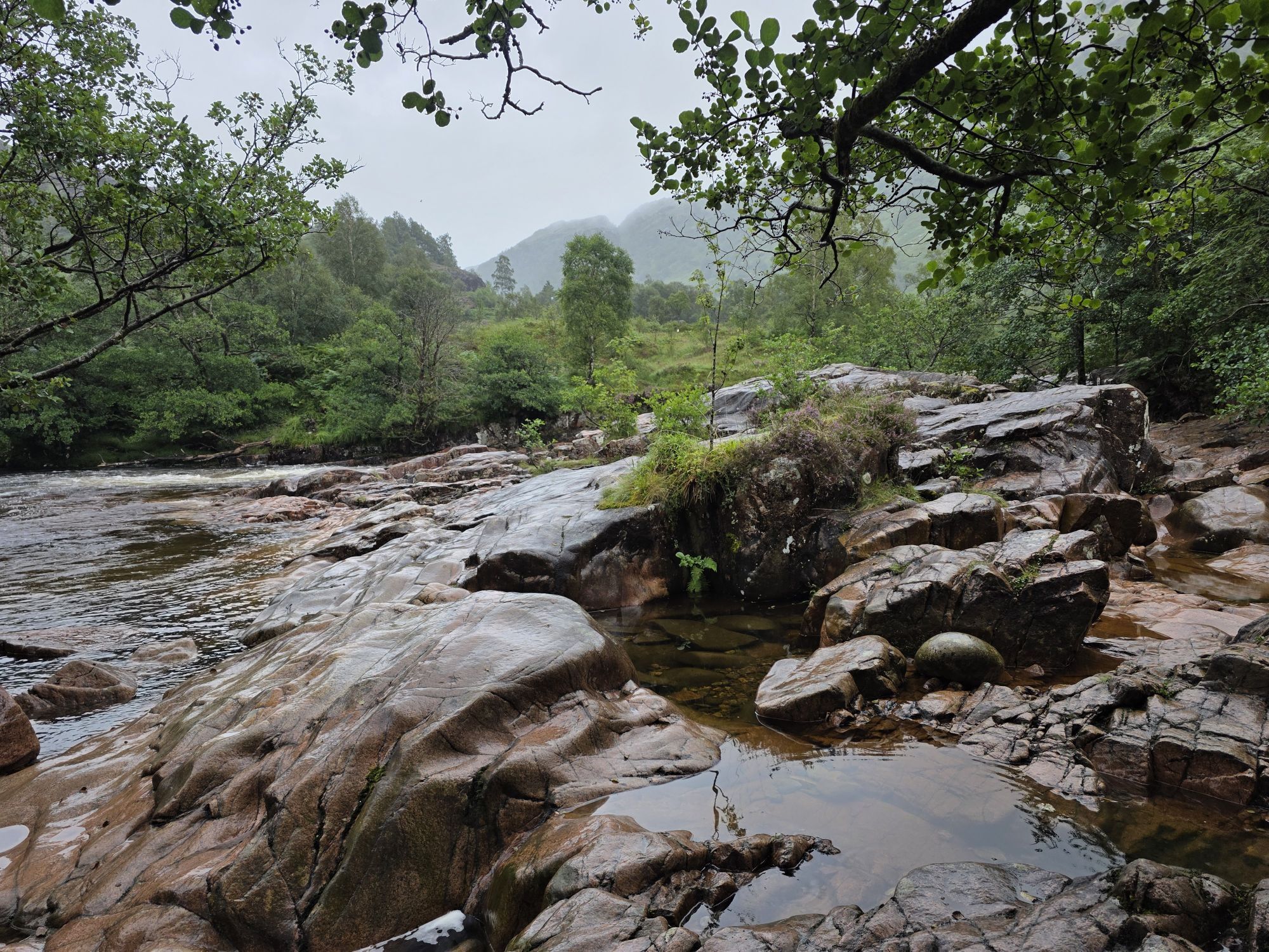
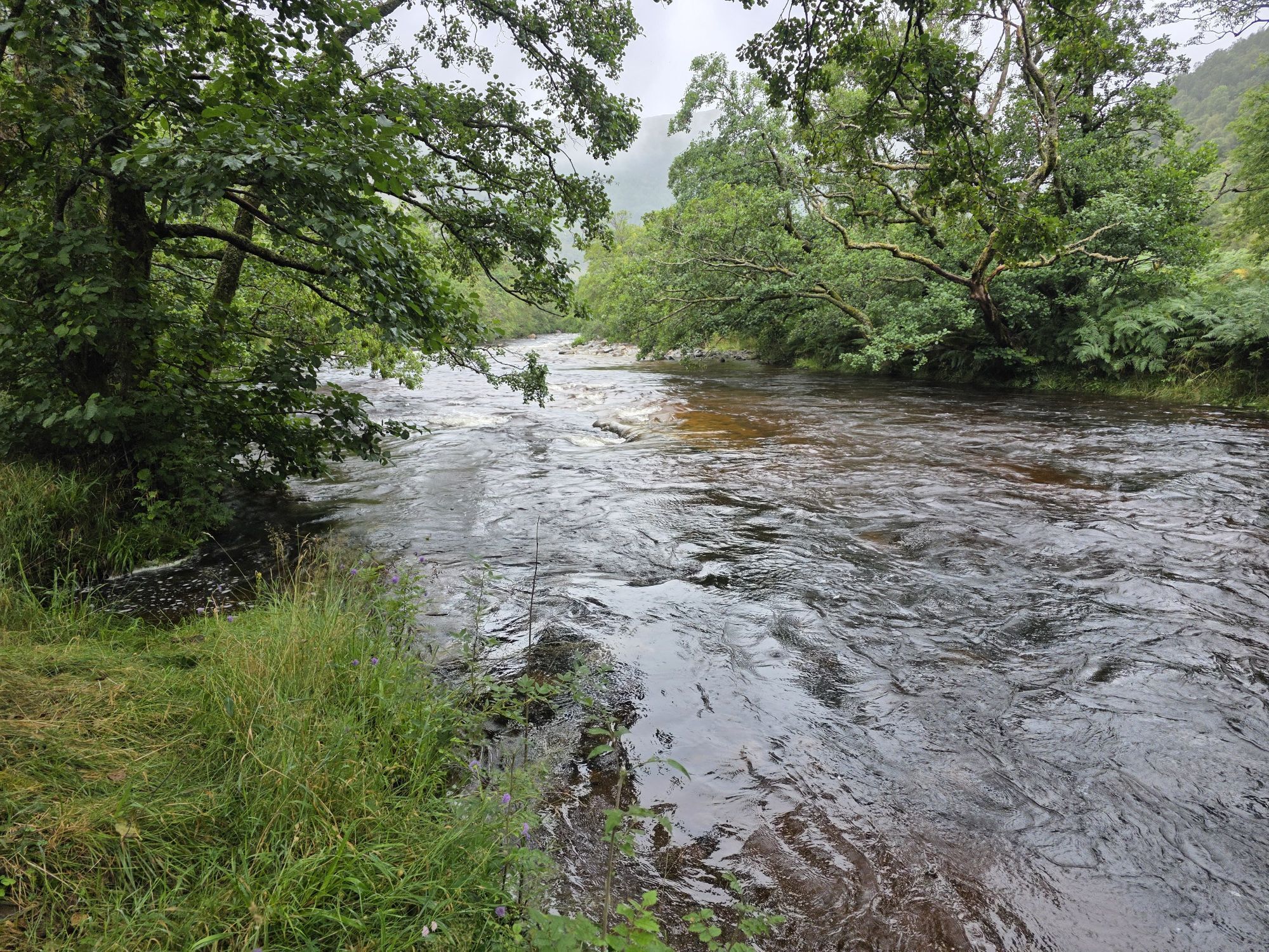
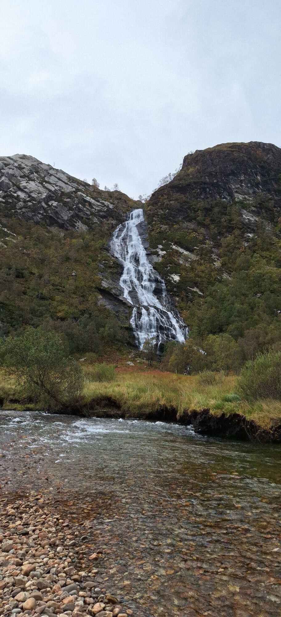
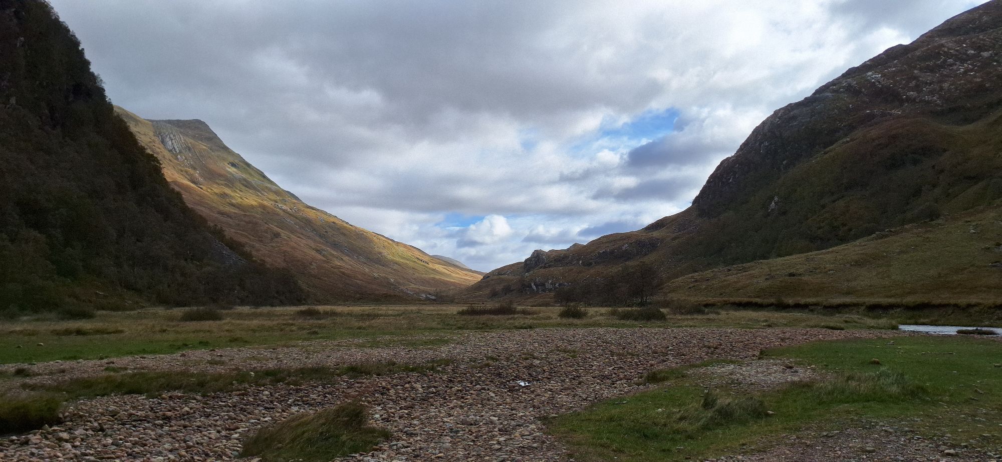
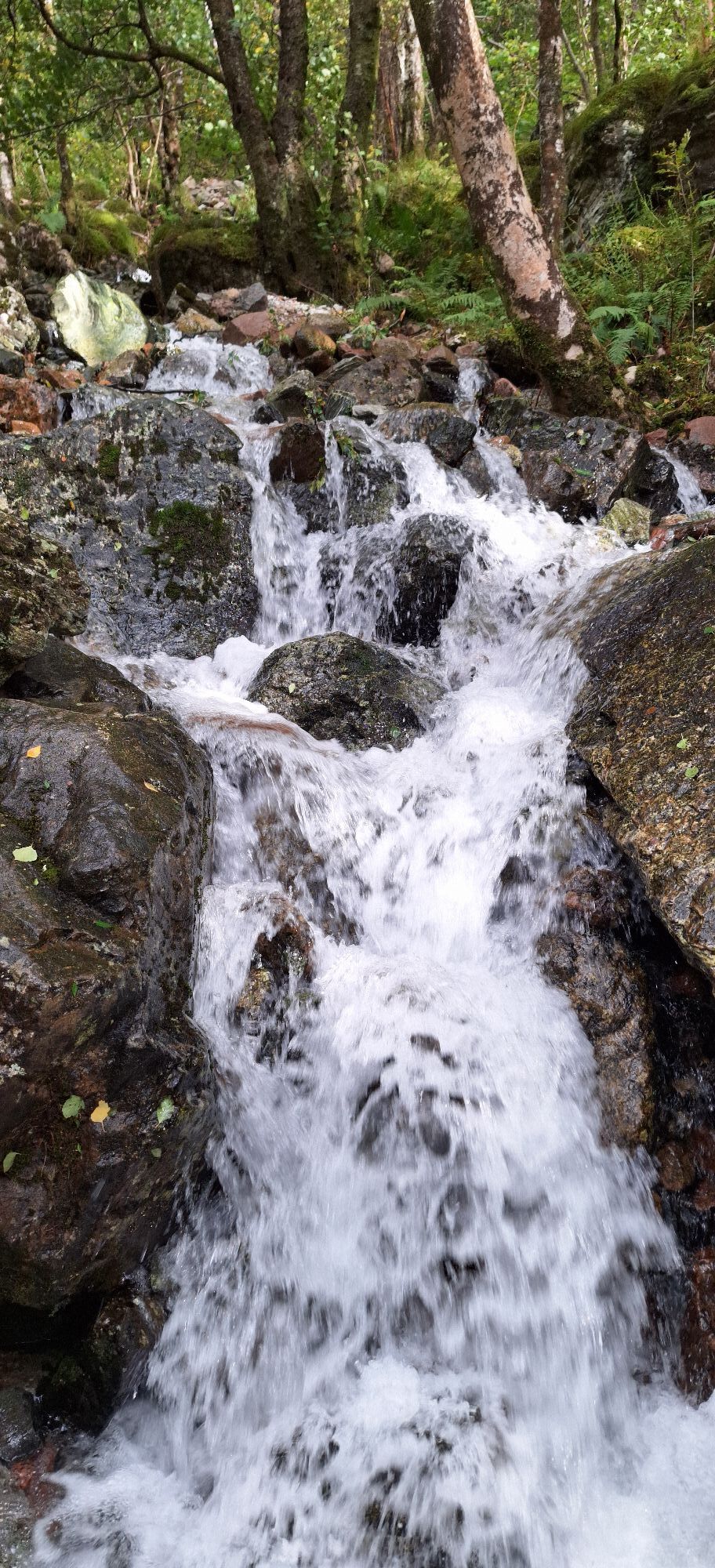
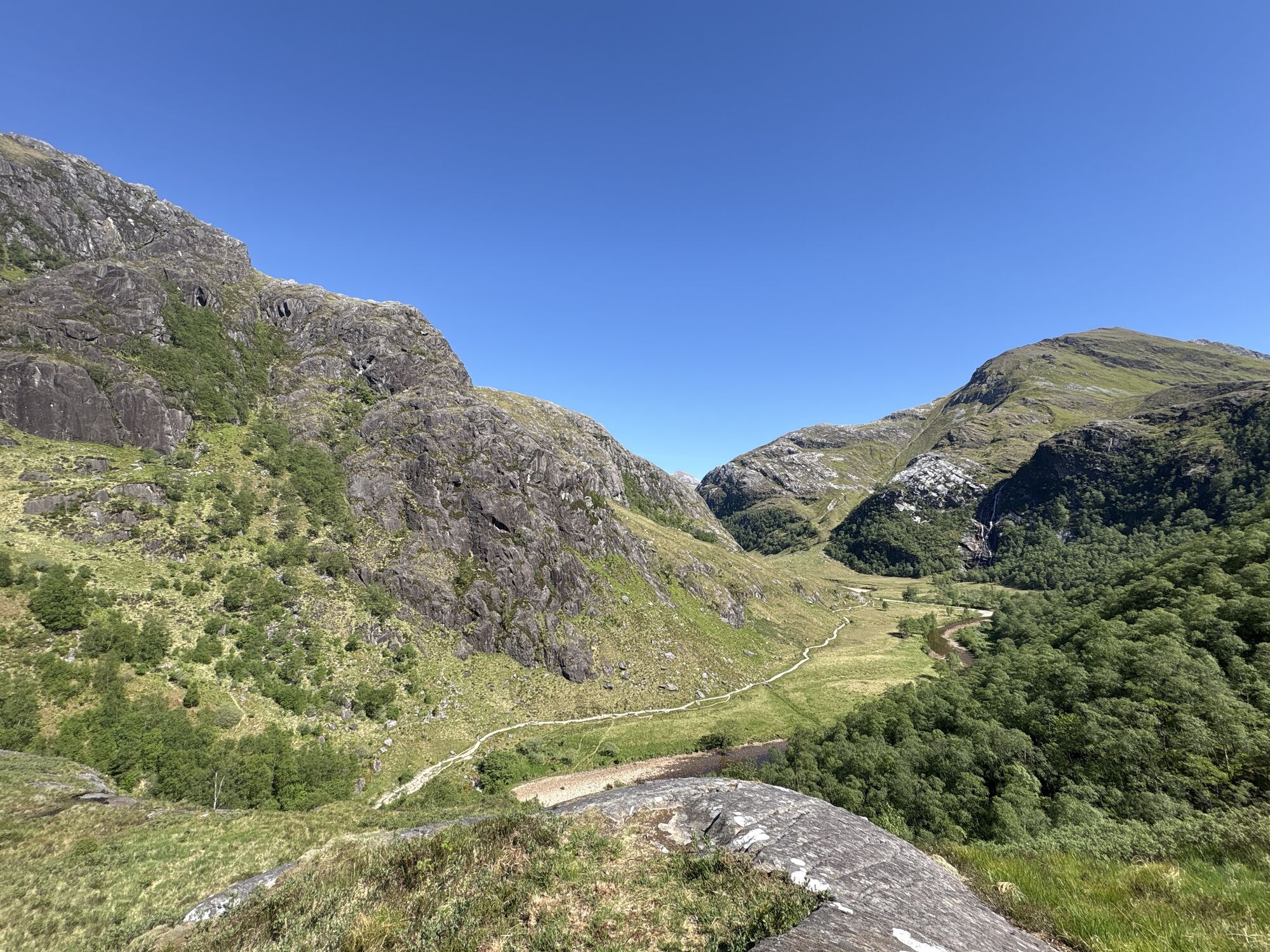
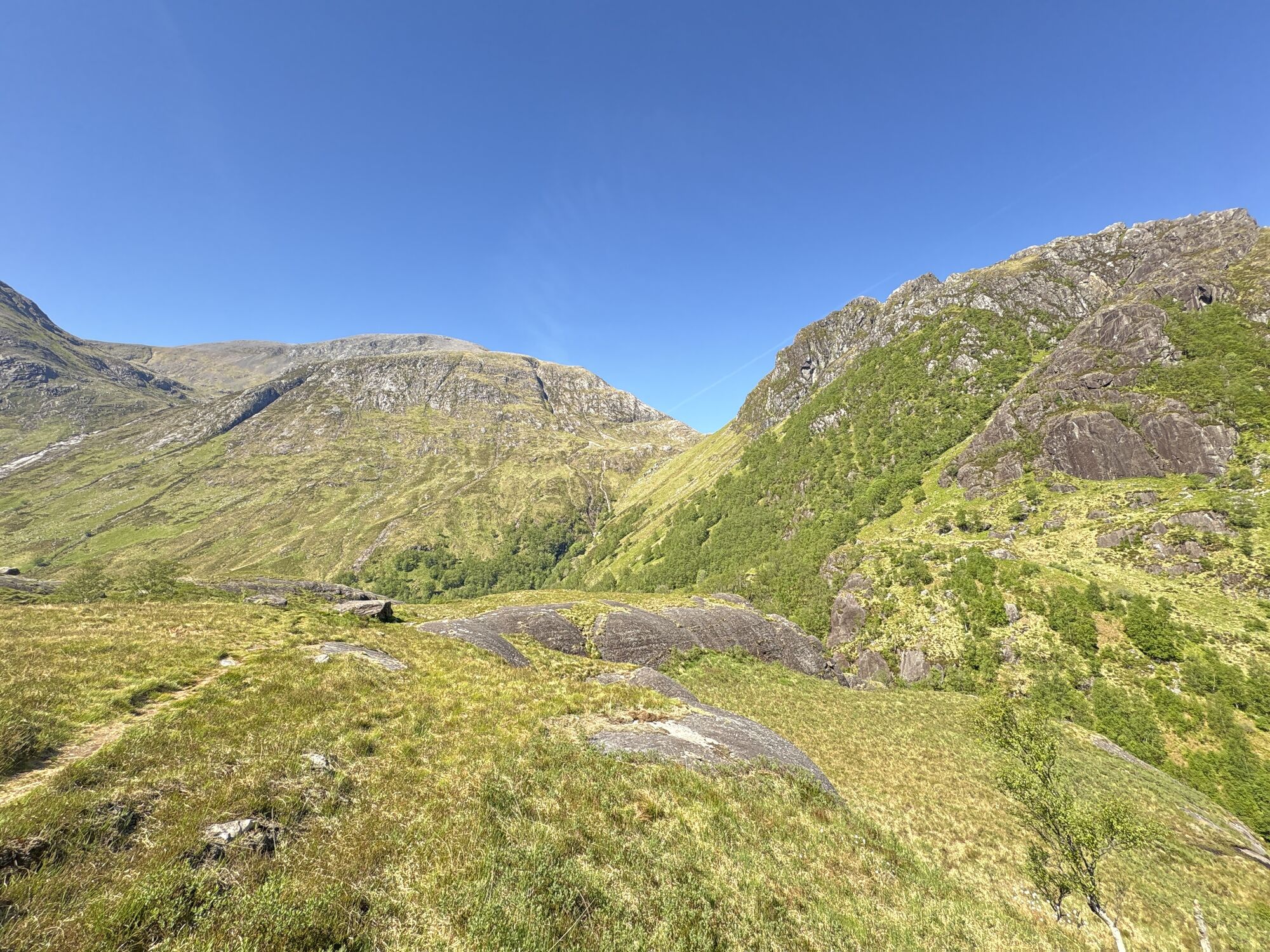
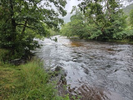
Beautiful loop that takes you from the Lower Falls Car Park to the Steall Waterfall - and back. Along the way you’ll find some lovely views, as well as a cable bridge.For most part, it is quite an easy...
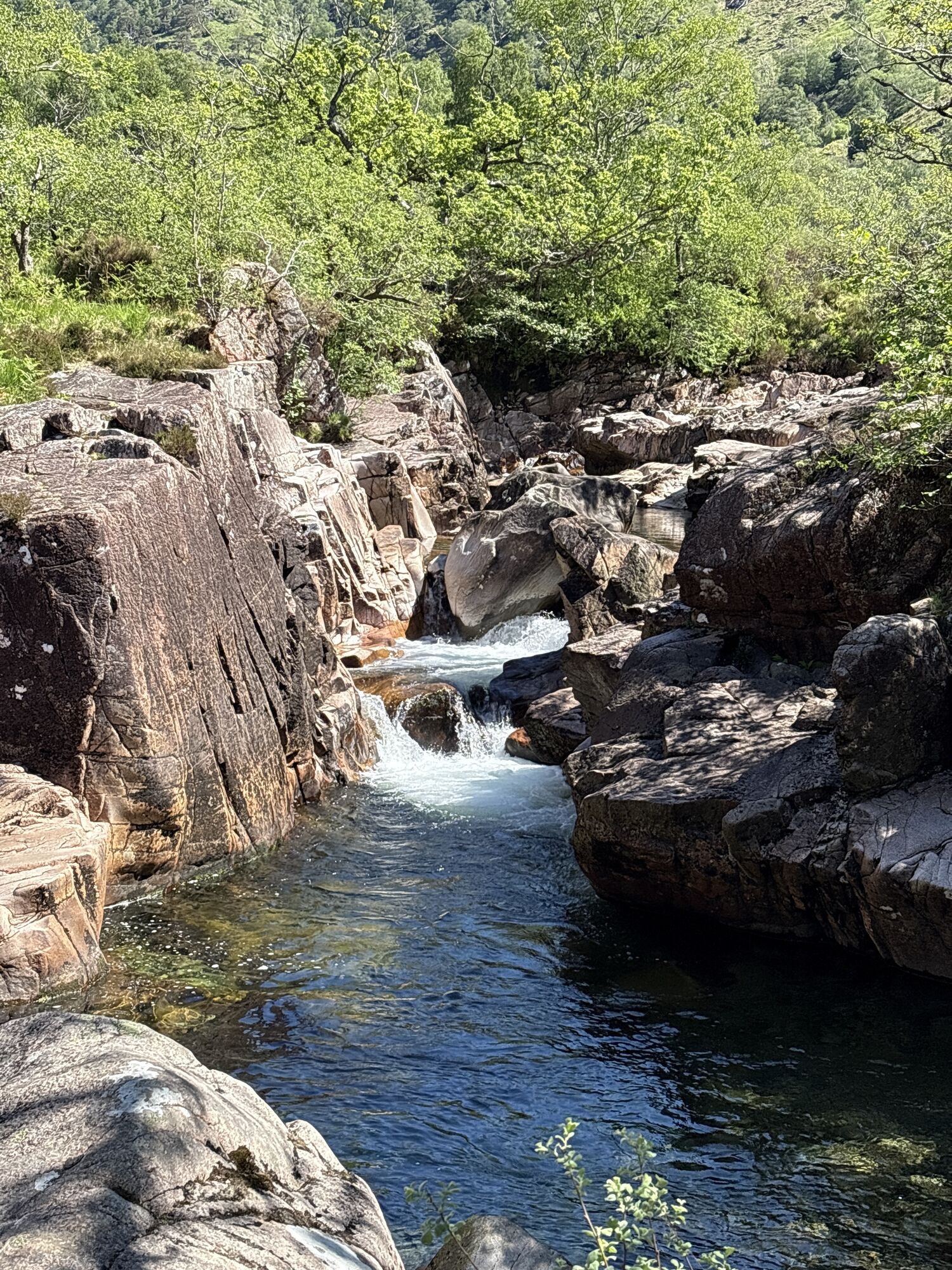
Beautiful loop that takes you from the Lower Falls Car Park to the Steall Waterfall - and back. Along the way you’ll find some lovely views, as well as a cable bridge.
For most part, it is quite an easy route. But there is a nice little climb south of the water that is a bit more challenging, close to the waterfall. Not in for a challenge? Just take the path north of the water.
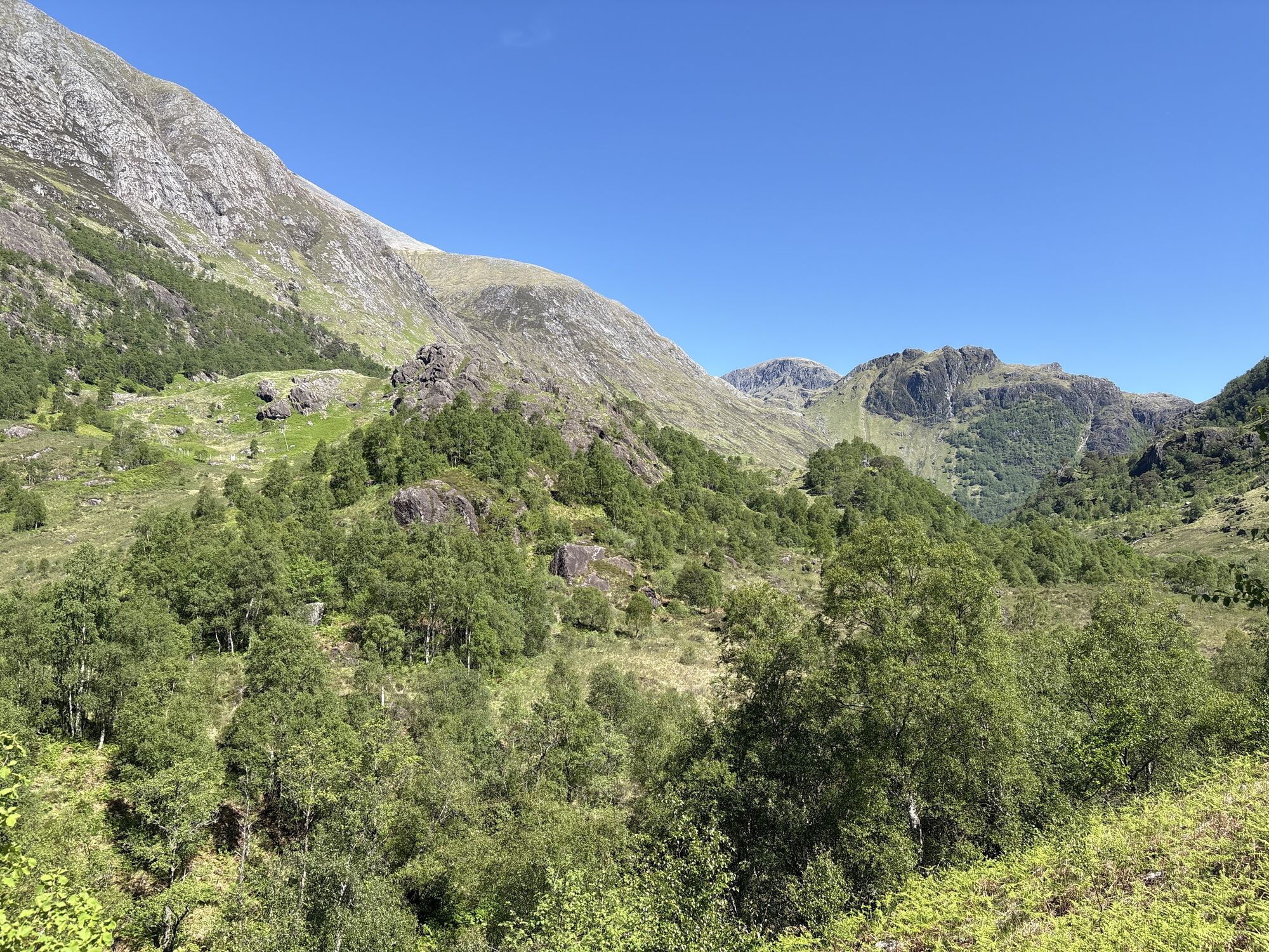
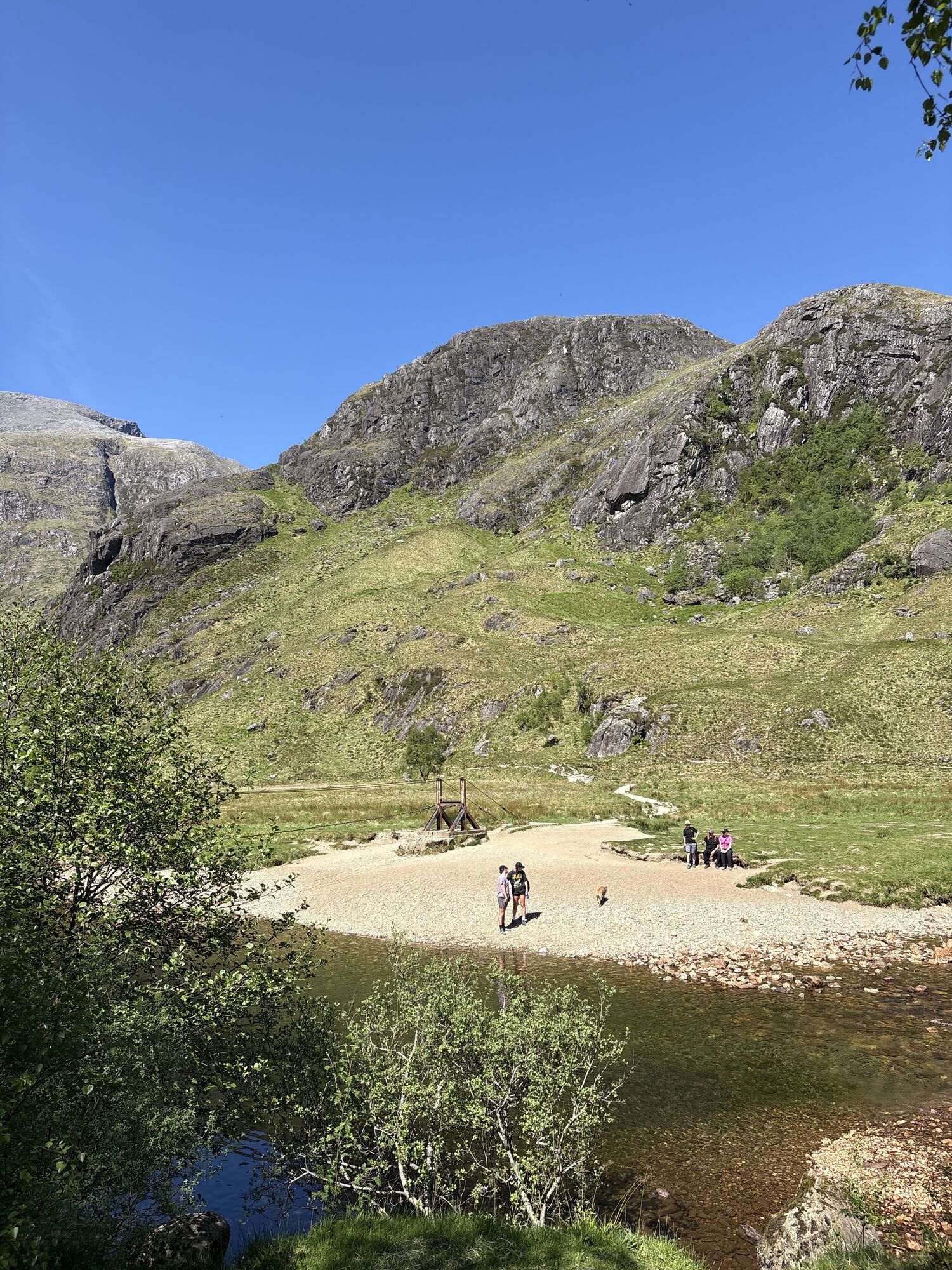
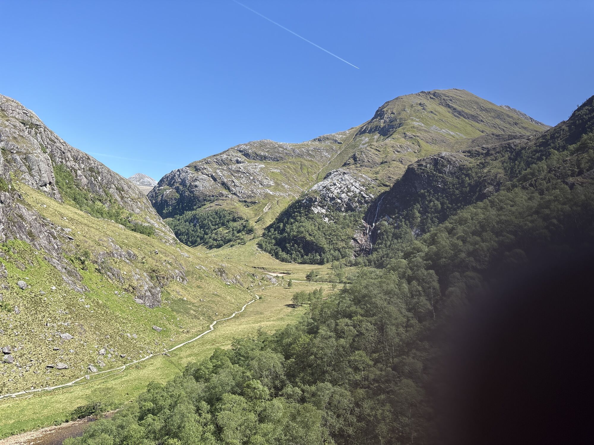
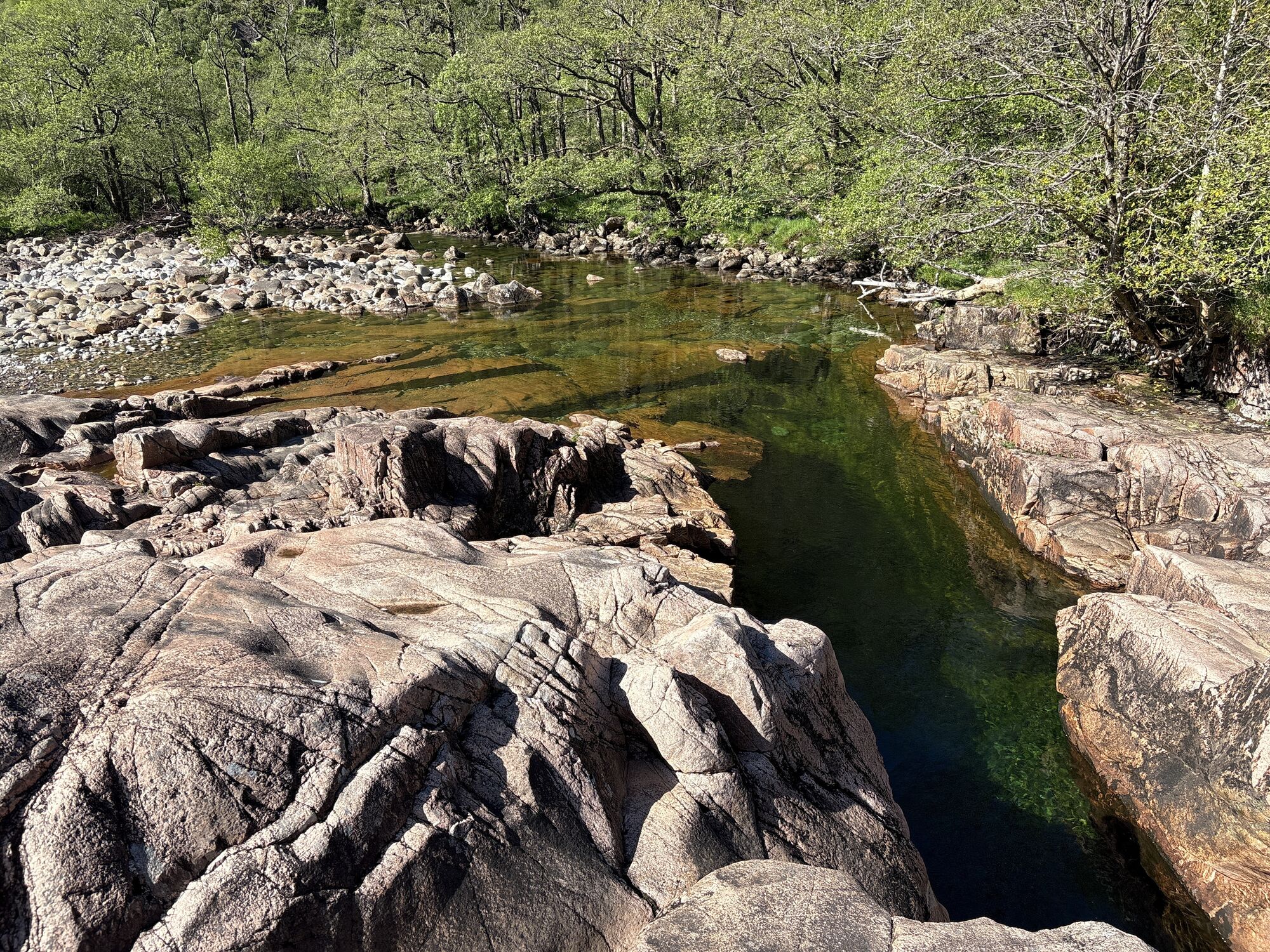

Walking sticks are nice to have.
There is a (paid) Car Park called Lower Falls Car Park. There is another car park close to the waterfall called Ben Nevis Car Park Waterfall.




Parcours populaires à proximité
-
4,2
Glen Nevis - Achintee - Ben Nevis - Gardyloo Gully
difficileRandonnée 16,4 km -
4,3
Kingshouse Hotel - Stob Mhic Mhartuin - Kinlochmore - Kinlochleven
moyenRandonnée 15,9 km -
5,0
Highland - Tigh an Steill - Glen Nevis Cable Bridge - Steall Falls
moyenRandonnée 4,05 km -
4,0
Hike Ben Nevis, Scotland
difficileRandonnée 18,2 km -
Claggan - Glen Nevis - Ben Nevis - Glen Nevis Restaurant & Bar
difficileRandonnée 20,7 km -
Glen Nevis - Ben Nevis - St Mary's R.C. Church - An Aird
difficileRandonnée 19,7 km -
Kingshouse Hotel - The Good Sheperd - Tailrace Inn - free church of scotland
difficileVTT 40,4 km -
Cruach Innse
facileRandonnée en montagne 12,0 km -
Fort William, Schottland/Vereinigtes Königreich
Randonnée 8,35 km -
Highland - Tigh an Steill - Luib Shonnachain
moyenRandonnée 5,41 km
Randonnée et suivi


Ne manquez pas les offres et l'inspiration pour vos prochaines vacances
Votre adresse électronique a été ajouté à la liste de diffusion.





