





Heart trails of Velenje - From Škale lake to Vista and back
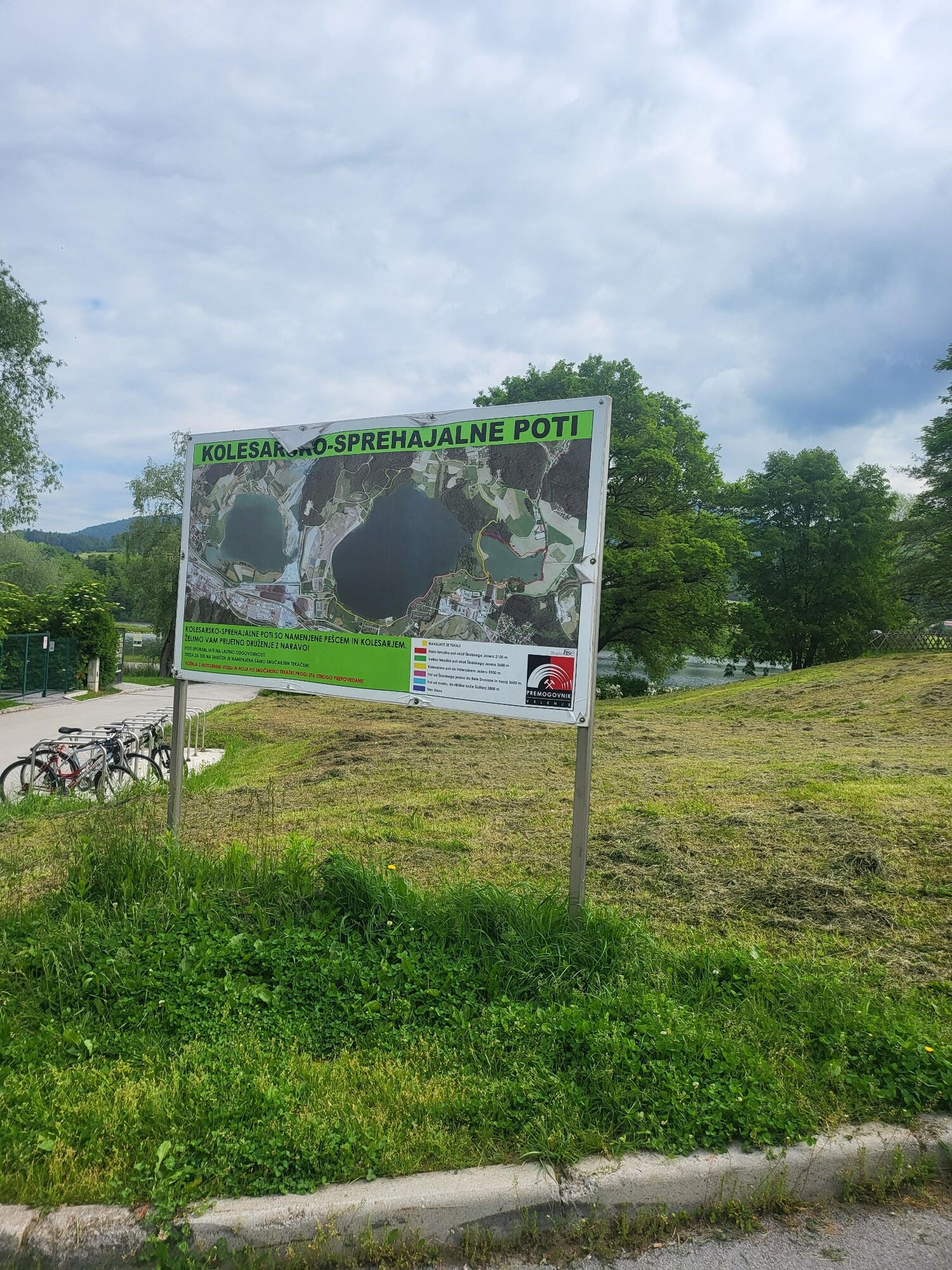
The route starts and ends at the information board in the Velenje Sports Park. At the board, the route is directed north towards the Škale Lake. Before the lake, turn sharp left onto a well-maintained...
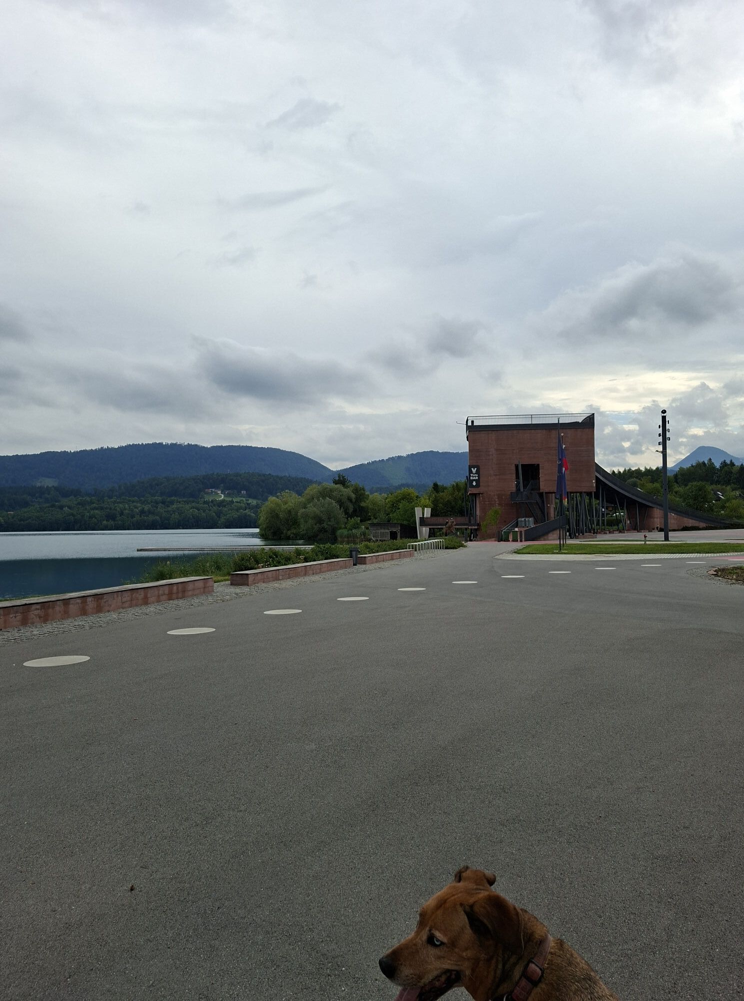
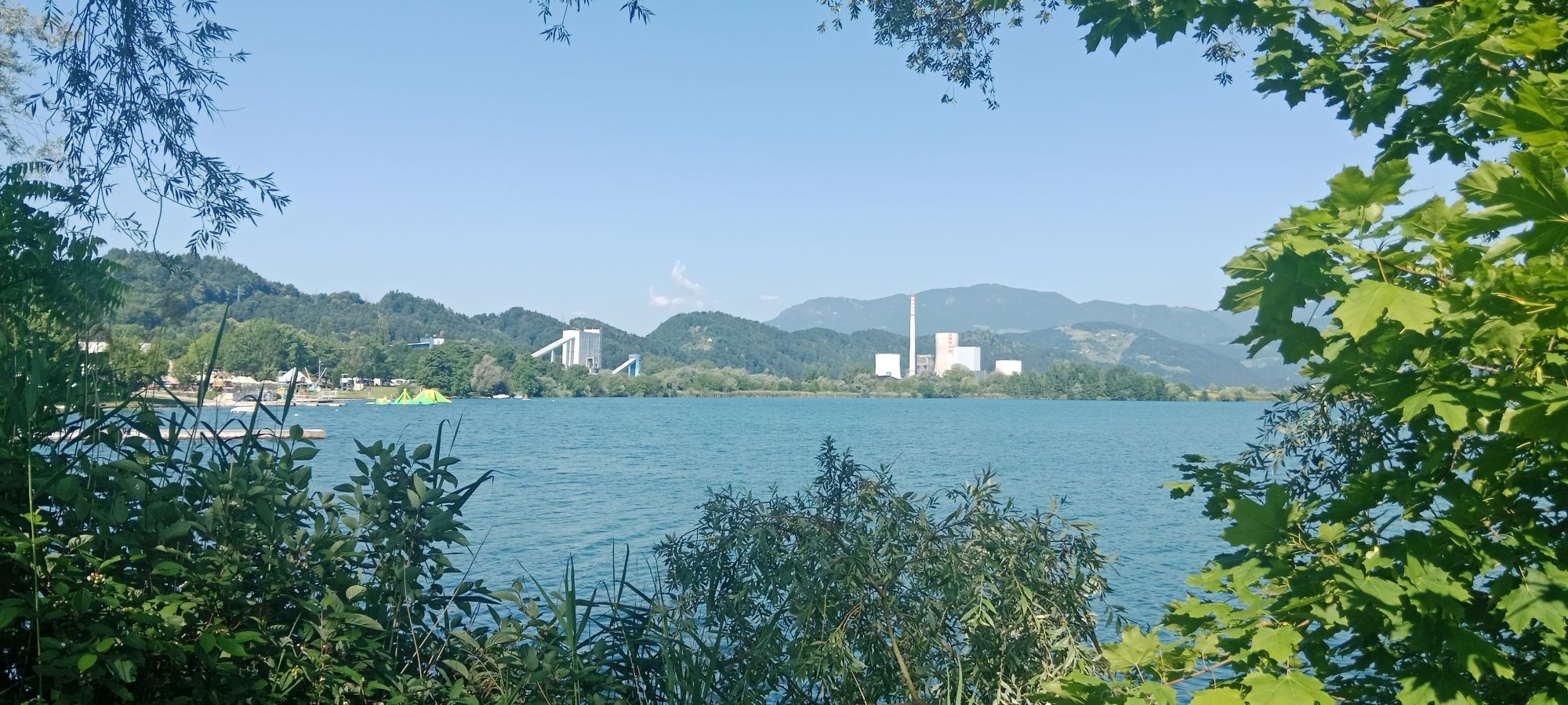
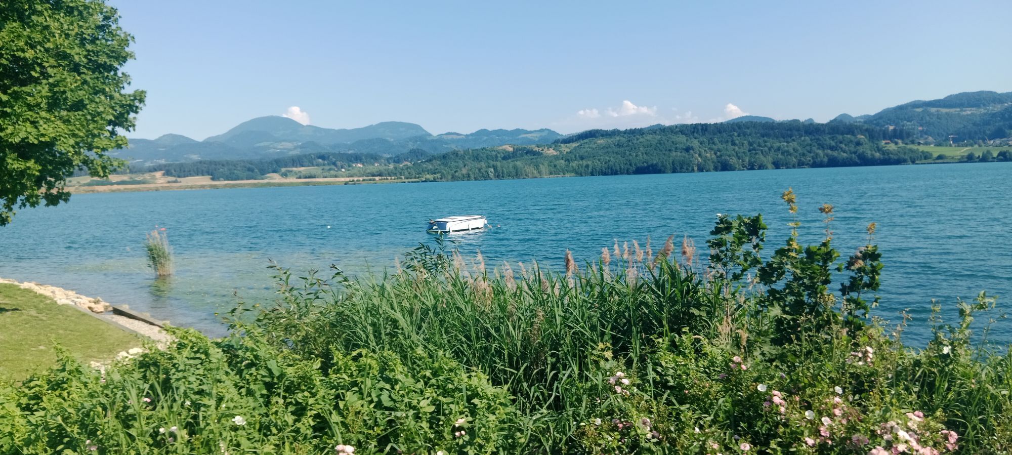
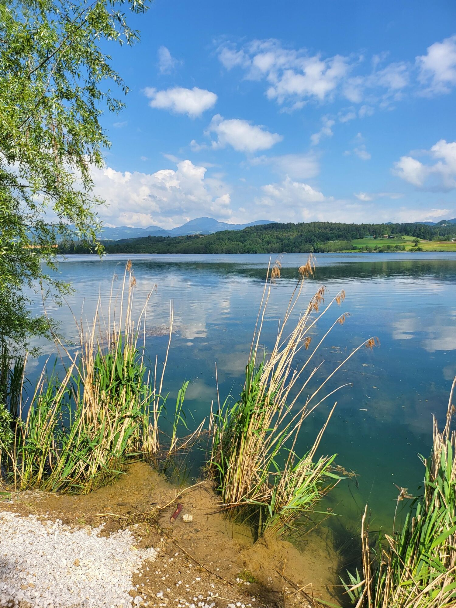
The route starts and ends at the information board in the Velenje Sports Park. At the board, the route is directed north towards the Škale Lake. Before the lake, turn sharp left onto a well-maintained macadam path that runs all the way along the shore of Lake Velenjski.
At the so-called holiday resort 'Kunta kinte' branches off on the right side along the water to the Vista event facility and the larger pier. AFTER the left branch, which runs right next to the aforementioned settlement, walkers or hikers usually return. The route on Viasta circles the entire event space and then heads back to the starting point along the upper branch.VeÄ o tem izvornem besediluIzvorno besedilo je obvezno, Äe želite pridobiti dodatne informacije o prevoduPošljite povratne informacijeStranska podokna

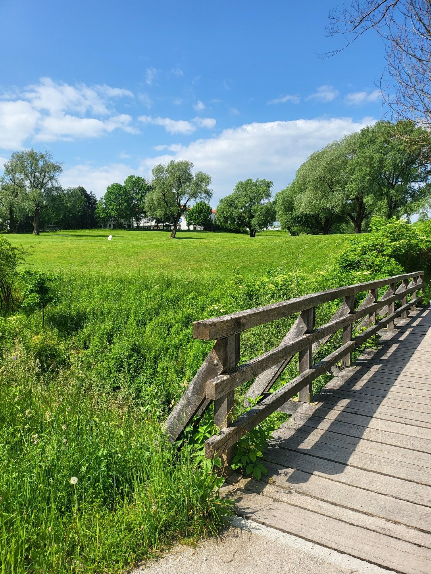
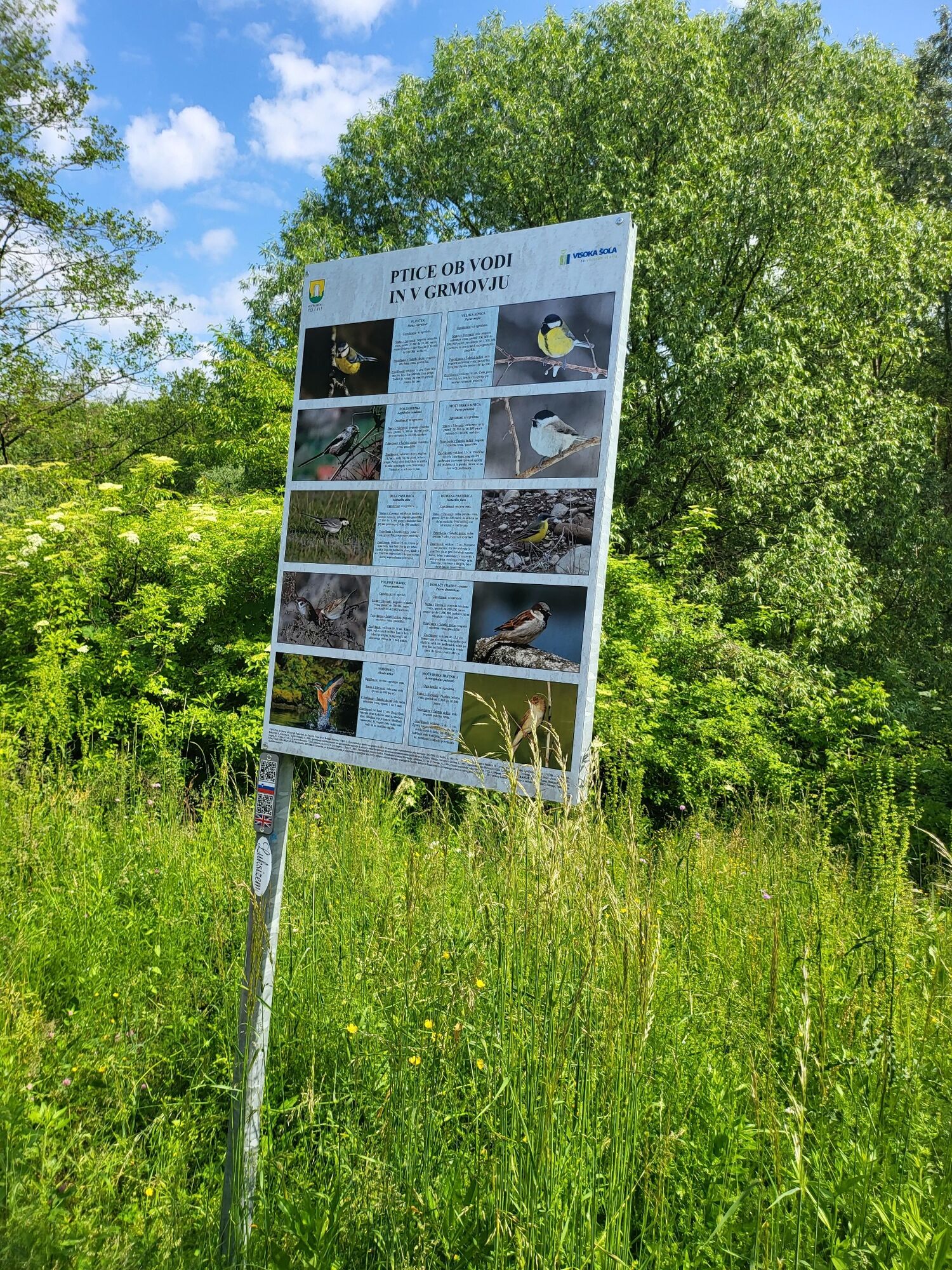
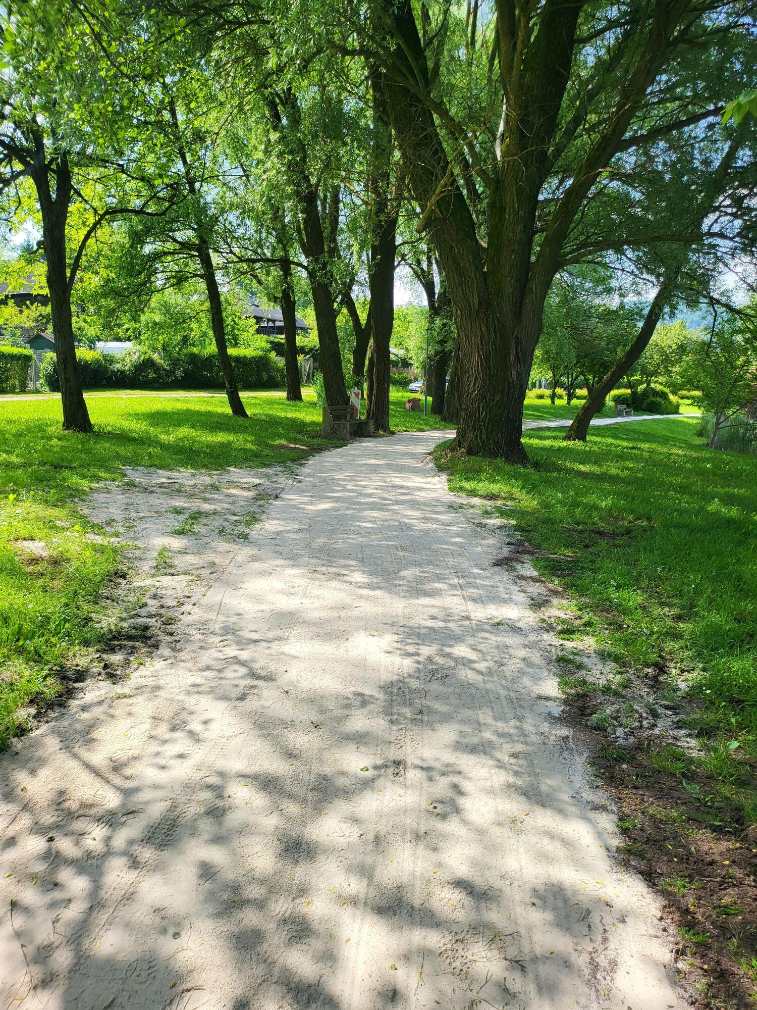
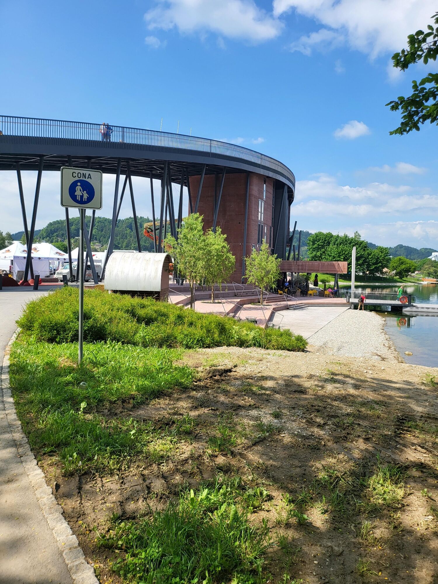

The path is clearly visible and does not need a more detailed description.
Oui
Oui
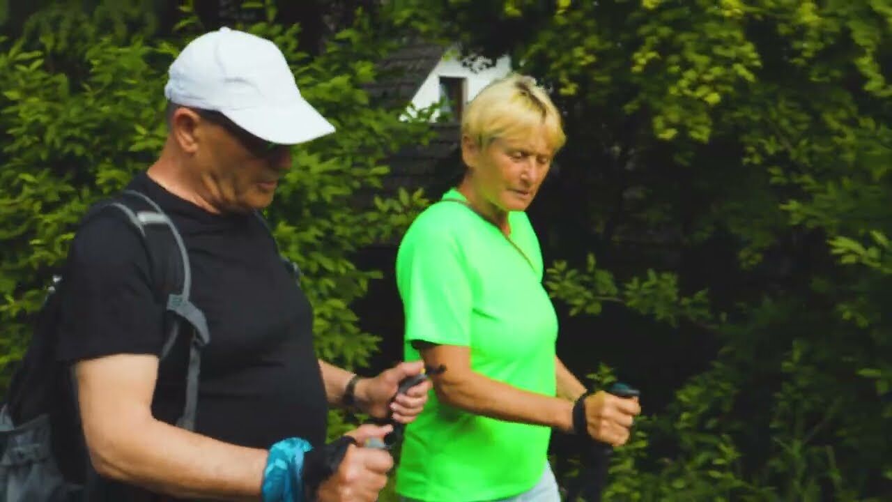
Light sports shoes and clothing suitable for the weather. We recommend the use of walking sticks.
We recommend not walking too close to the lake water, because in heavy rain or snow the path can become slippery in some places.
a
Local bus or private vehicles to the Museum of Promotion.
There is a free parking lot 200 m from the starting point
The path is a good connection between the quieter part of the Škal lake and the more active part of the Velen lake.
The beautiful panoramic route is suitable for those who are satisfied with shorter distances on the flat.
Parcours populaires à proximité
-
3,5
Štrekna cycle path
moyenFaire du vélo 78,7 km -
4,8
Bele vode - Smrekovec, Slovenia
Randonnée 7,89 km -
4,8
Poštarski dom pod Plešivcem - Uršlja gora - Dom na Uršlji gori
difficileRandonnée 13,3 km -
Heart trails of Velenje - Small Trail
Chemin thématique 2,16 km -
Hmeljko houblon
facileRandonnée 15,5 km -
Grand cercle de houblon
moyenFaire du vélo 29,3 km -
5,0
Smrekovec in Golte 2
VTT 43,1 km -
Heart trails Velenje - Big trail
Chemin thématique 3,60 km -
Parcours cœur à Mislinja
moyenChemin thématique 4,82 km -
Wien - Triest (EuroVelo 9) September/Oktober 2021
Faire du vélo 679 km
Randonnée et suivi


Ne manquez pas les offres et l'inspiration pour vos prochaines vacances
Votre adresse électronique a été ajouté à la liste de diffusion.





