







Niedernsill: Argricultural Themed Trail
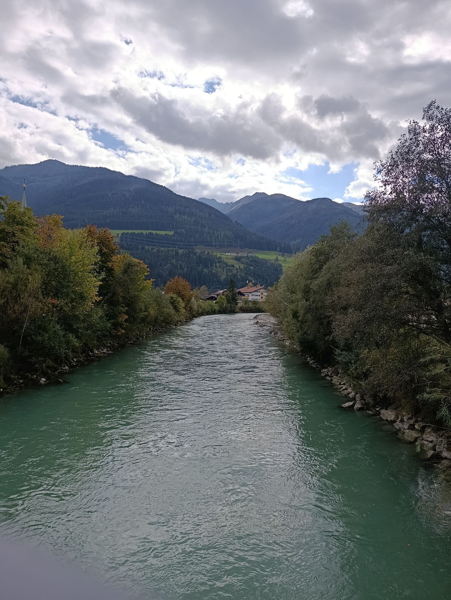
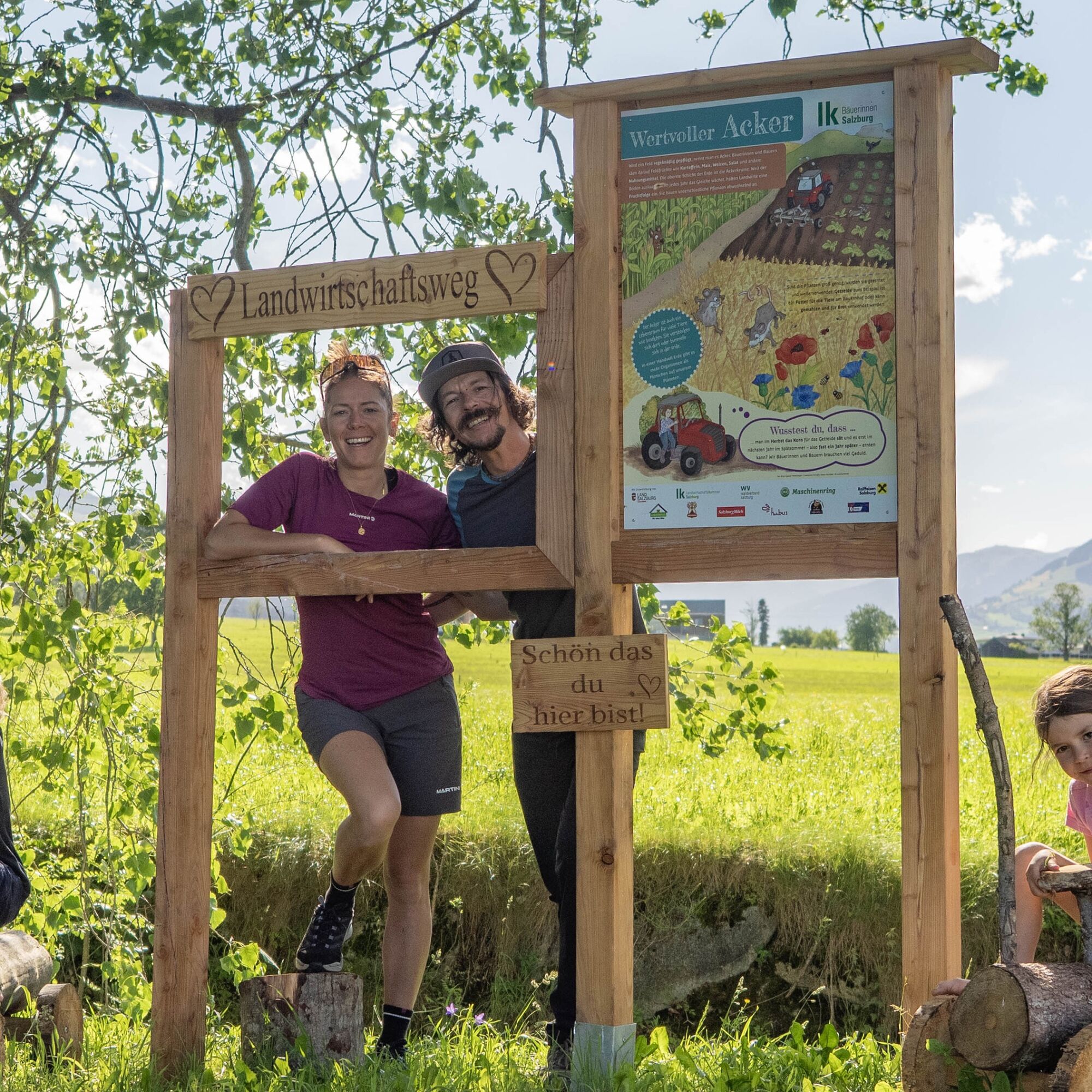
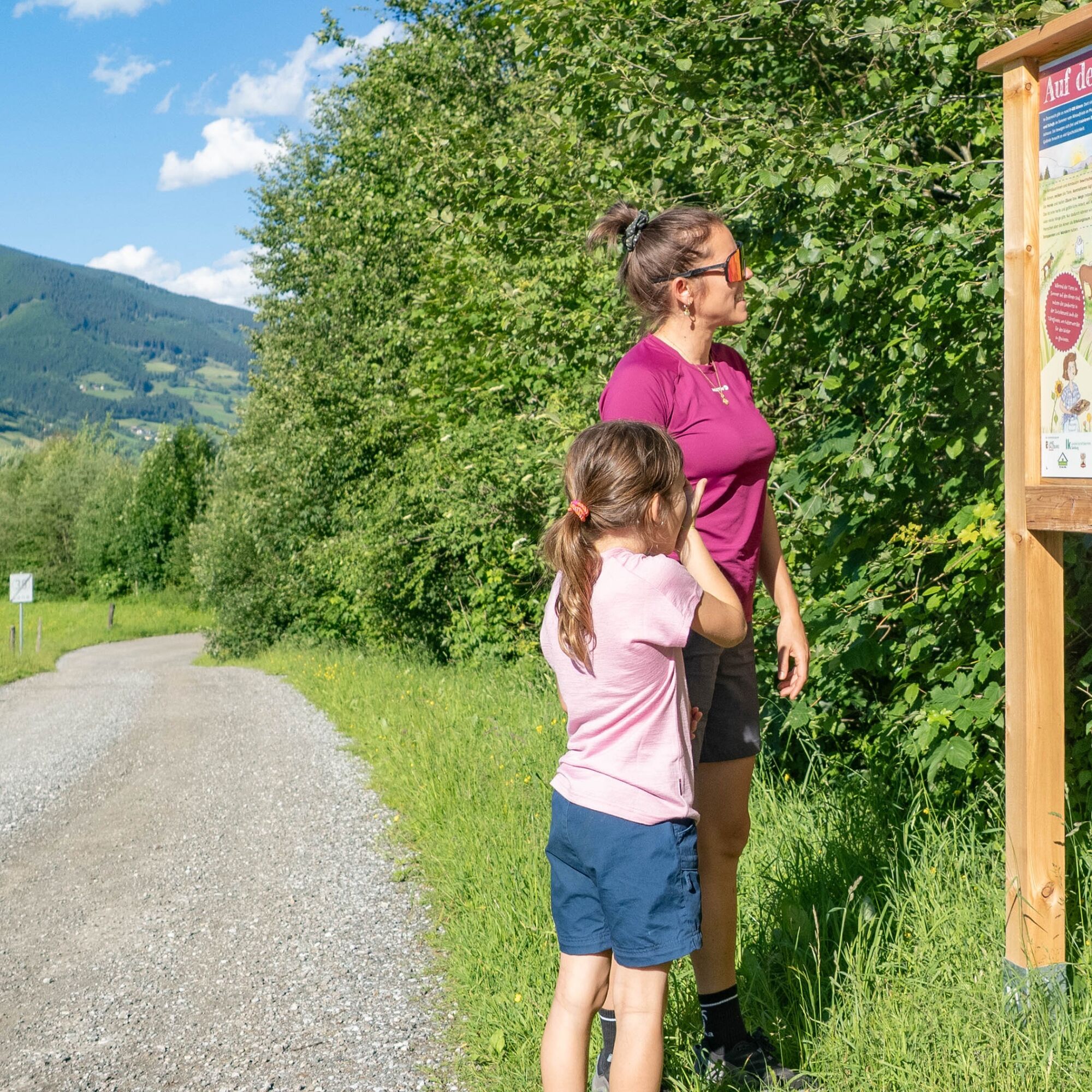
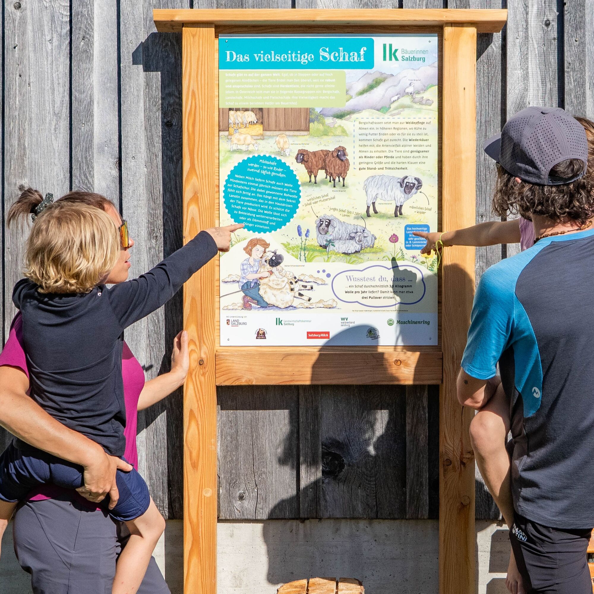
Gentle paths, green meadows and hands-on insights accompany you along this circular walk through Niedernsill. At 13 carefully designed stations, you explore farming up close - engaging, easy to understand...
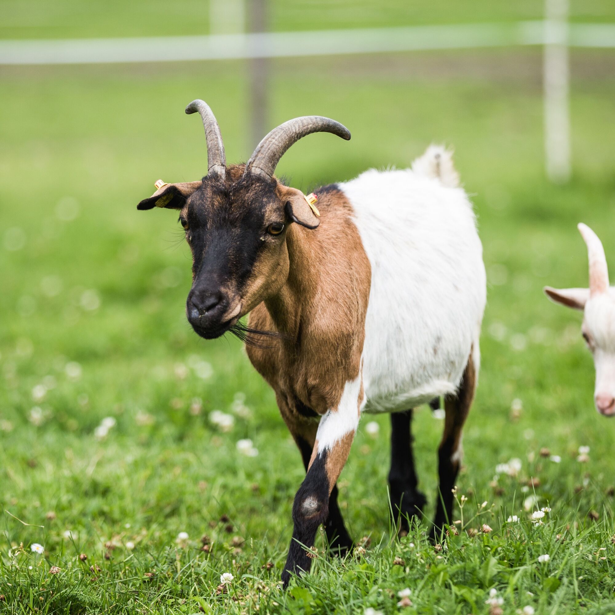
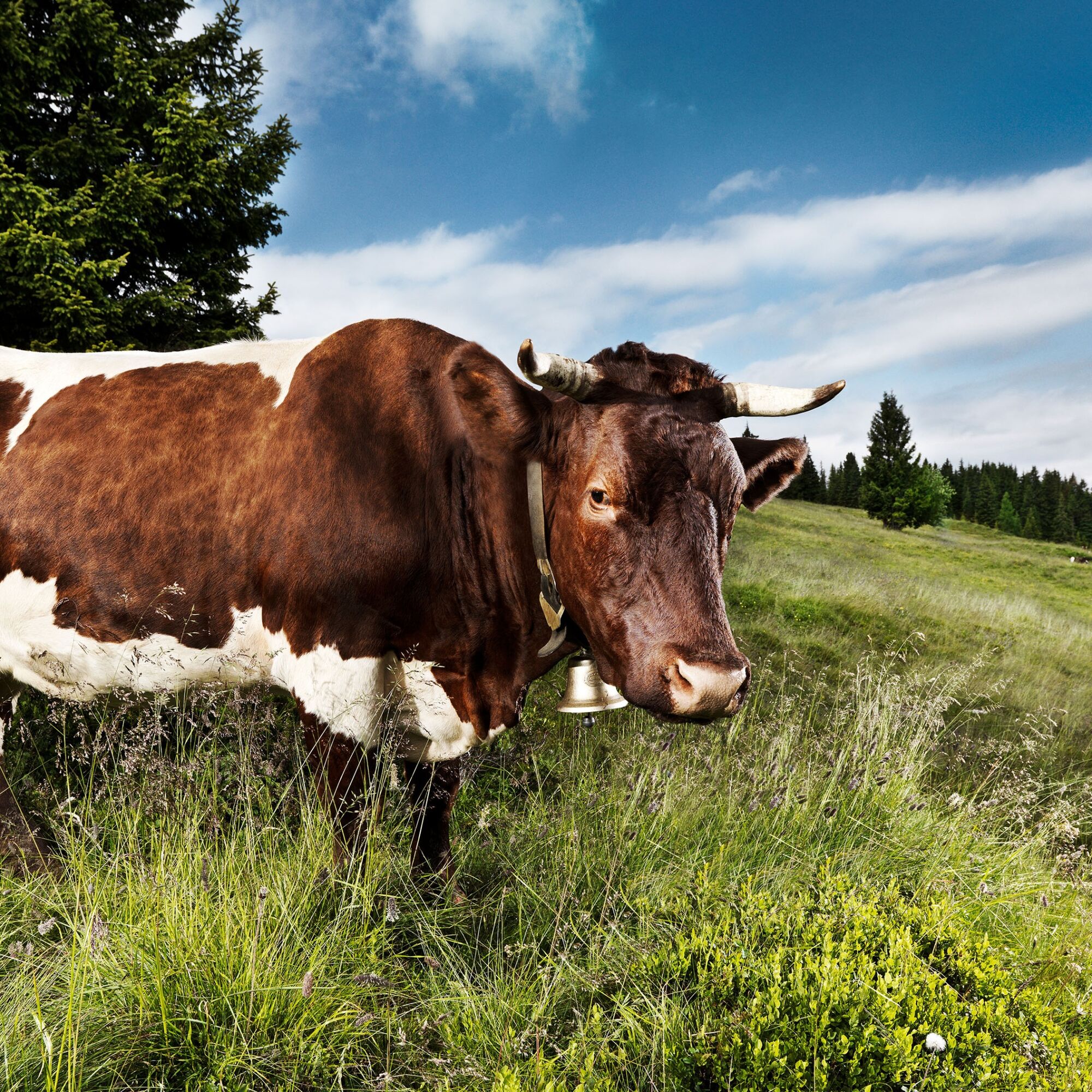
You’ll discover how the farming year is structured and meet typical farm animals such as cows, sheep, goats, chickens and horses. Topics like milk production, bees, crop farming and the habitats of forest, meadow and alpine pasture are explained in a lively and accessible way. Step by step, a clear picture emerges of how people, animals and nature are connected.
For children, the walk becomes an adventure: a riddle along the route invites them to observe, think and explore. Solve it along the way - and a small reward awaits at the end. This easy loop is ideal for families and combines fresh air, gentle activity and shared discovery.

The starting point is the hiking info point in the centre of Niedernsill. From here, follow Jesdorferstraße or the Tauern cycle path towards Piesendorf. Pass the tourist office and Restaurant Kehlbacher and continue out of the village. After crossing the bridge near the dog training area, turn right and follow the Mühlbach upstream. The path runs alongside the water until you reach the next bridge. Cross the stream and continue slightly uphill. Keep left and walk on to the next junction. Cross the road and continue straight ahead. At the following junction, turn right and walk downhill back towards the village centre. Follow the road straight ahead back to the starting point. Take care here, as the road can be busy, and keep to the side.
Oui
Oui
Light hiking shoe, weather-appropriate clothing, rain and sun protection, drinks, granola bars and a small backpack
ð Dogs & leash requirement: In Piesendorf and Niedernsill, dogs must be kept on a lead - including in the mountains and forests. Please always keep your dog on a lead and dispose of dog waste properly.
ð Grazing animals: Keep a safe distance and remain calm. Avoid crossing grazing areas unnecessarily. If cows approach you, stay calm and slowly move away. If you have a dog and encounter grazing animals, release the dog immediately to prevent danger to both people and animals.
ð Fair Play & consideration: Be mindful of fellow hikers, animals and plants. Stay on the marked paths. Respect and fairness are the foundation for a positive shared experience in nature.
ðºï¸ Navigation: Please note that Google Maps is NOT a hiking app and is not suitable for alpine navigation.
ð From the train station, turn right and cross the Salzach bridge. Immediately afterwards, you will find the hiking info point on the right-hand side - the starting point of the tour.
ð If you arrive by bus, follow Niedernsiller Straße into the village centre to the hiking info point (on the right after crossing the Salzach).
Sufficient parking available in the village center!
ð² Google Play Store
ð² App Store
Or visit: piesendorf-niedernsill.at
𧩠Play & hike - Largest outdoor game collection
ð§ Digital riddle (only in German)
Parcours populaires à proximité
- 4,8
Sigmund Thun Klamm, Klammsee, Bürgkogel
facileRandonnée 4,56 km - 4,2
Maurerkogel (Top)
Randonnée 10,5 km - 4,9
Hochsonnberg Runde
moyenVTT 59,8 km - 4,5
Thumersbach, Runde um den Zeller See
facileRandonnée 13,3 km - 4,4
Sigmund Thun Klamm
facileRandonnée 3,10 km - 5,0
Le parcours de jeux de Leo
facileChemin thématique 4,89 km - 5,0
Wasserfallboden/Mooserboden
difficileRandonnée 19,5 km - 4,9
Großes Wiesbachhorn 3564 mnv Kaprun, Austrija
difficileRandonnée 13,4 km - 4,6
Parcours panoramique 3 sommets et 2 lacs
moyenRandonnée 7,21 km - 5,0
10D Tour du Hochsonnberg
moyenVTT 26,4 km
Randonnée et suivi


Ne manquez pas les offres et l'inspiration pour vos prochaines vacances
Votre adresse électronique a été ajouté à la liste de diffusion.





