







Sonnkogel
Niveau de difficulté: T2
Enjoy a wonderful hike to the summit of Sonnkogel. The trail leads through varied alpine meadows and light forests, opening up breathtaking views along the way. At the top, a 360° panorama rewards you...
Enjoy a wonderful hike to the summit of Sonnkogel. The trail leads through varied alpine meadows and light forests, opening up breathtaking views along the way. At the top, a 360° panorama rewards you with an unforgettable nature experience. Perfect for those who love combining activity, tranquility, and stunning mountain scenery.
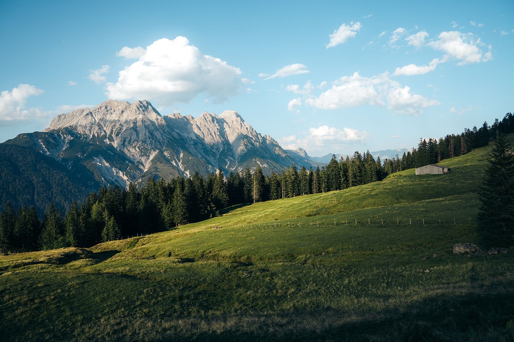
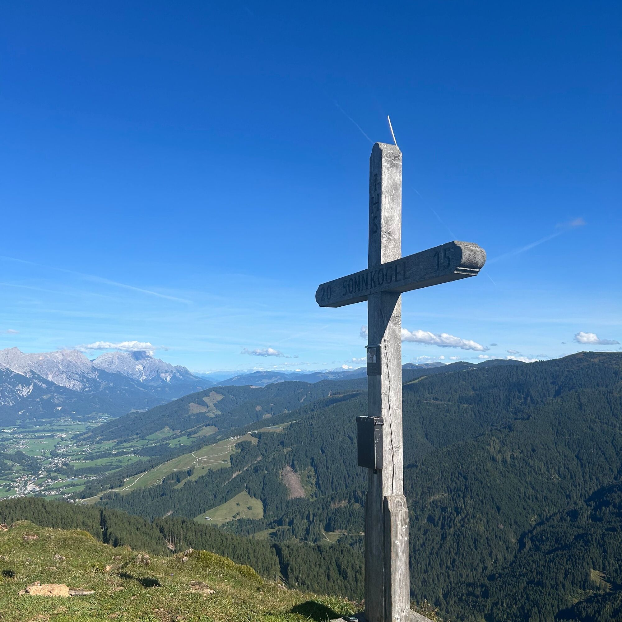
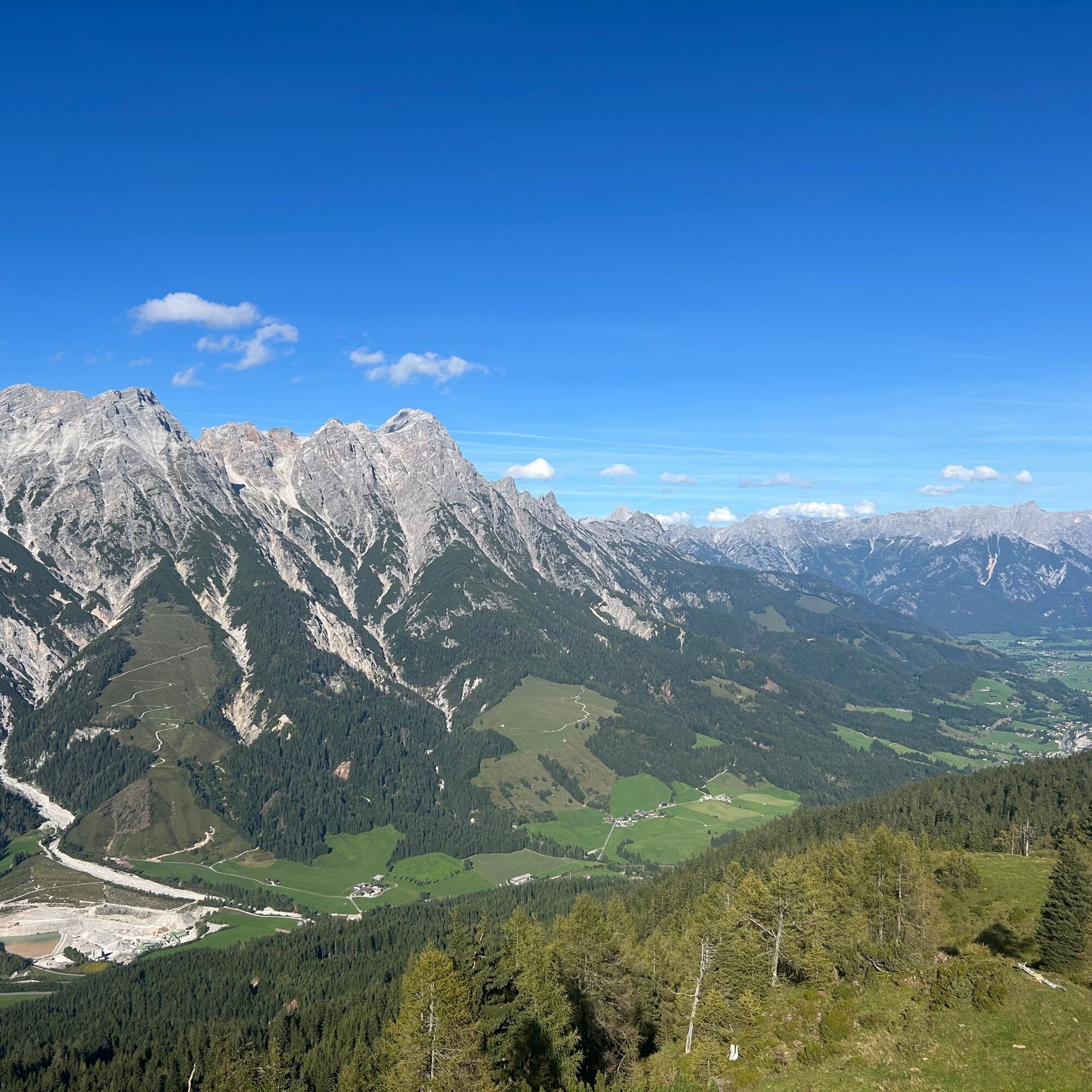

From the parking area at Tödlinggut in Grießen, cross the main road and follow the hiking trail towards the Grießner Almen. The route alternates between meadows and forest until reaching the plateau of the Grießner Almen. From there, a narrow path leads up the final elevation gain to the summit.
From Saalfelden or St. Johann in Tirol via the B 164 to Leogang.
You can enjoy your holiday from the start by train. No traffic jam will stop you from getting to Saalfelden Leogang! Furthermore, the ÖBB timetable helps you quickly and easily find the ideal train connection to Leogang station: www.oebb.at
BY BUS
You can conveniently reach the starting point by bus via the stop "Grießen B164". The stop is directly at the starting point of the hike. More information can be found at https://fahrplan.salzburg-verkehr.at/
A marked hiking parking lot is available at the starting point at Tödlinggut (limited number).
T2
The Grießner Almen are accessible by mountain bike. From there, the final ascent to the summit continues on foot.
Obtenez un aperçu Toujours en direct avec plus de 9.500 webcams. En tant qu'utilisateur Pro, vous pouvez désormais voir les webcams correspondantes à de nombreuses randonnées dans l'application de randonnées de bergfex. Vous pouvez ainsi voir directement les conditions actuelles.Parcours populaires à proximité
- 4,7
Loferer Steinberge, zum Hinterhorn über die Schmid-Zabierow Hütte, 19.06.22
difficileRandonnée 14,0 km - 4,5
Seisenbergklamm
facileRandonnée 2,41 km - 4,2
Passauer Hütte
difficileRandonnée 4,14 km - 4,1
Maurerkogel (Top)
Randonnée 10,5 km - 4,6
Birnbachloch Leogang, Österreich
moyenRandonnée 5,18 km - 4,0
Montagne des sens
facileRandonnée 4,39 km - 4,6
Lettlkaser
moyenRandonnée 4,40 km - 4,7
Parcours panoramique 3 sommets et 2 lacs
moyenRandonnée 7,21 km - 5,0
Le parcours de jeux de Leo
facileChemin thématique 4,89 km - 4,2
Saalachtaler Höhenweg EST (Asitz - Biberg)
moyenRandonnée 13,1 km
Randonnée et suivi


Ne manquez pas les offres et l'inspiration pour vos prochaines vacances
Votre adresse électronique a été ajouté à la liste de diffusion.





