







Sulzenschneid
Niveau de difficulté: T2
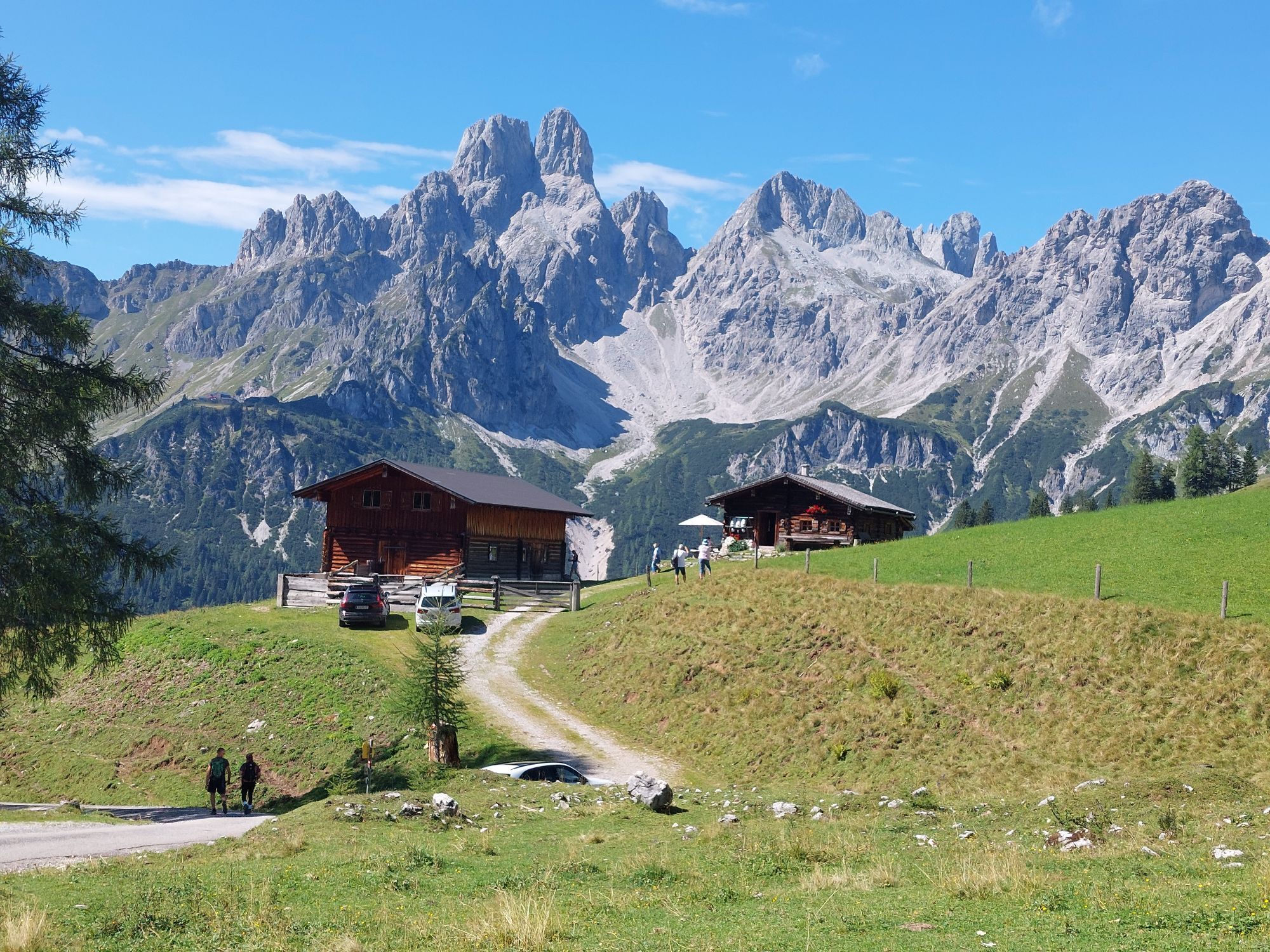
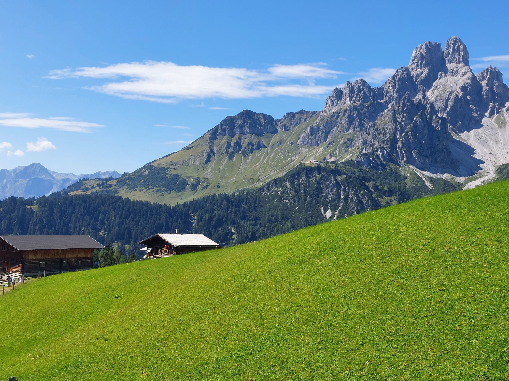
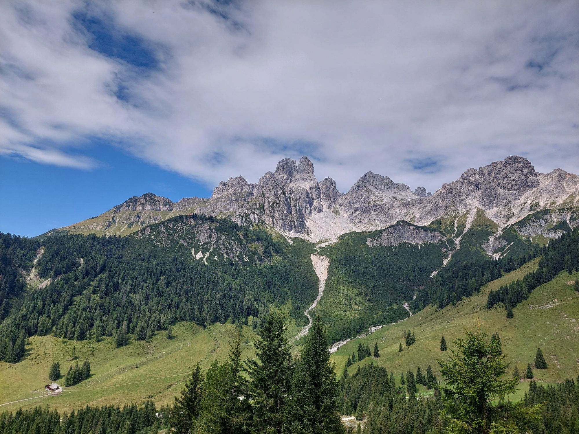
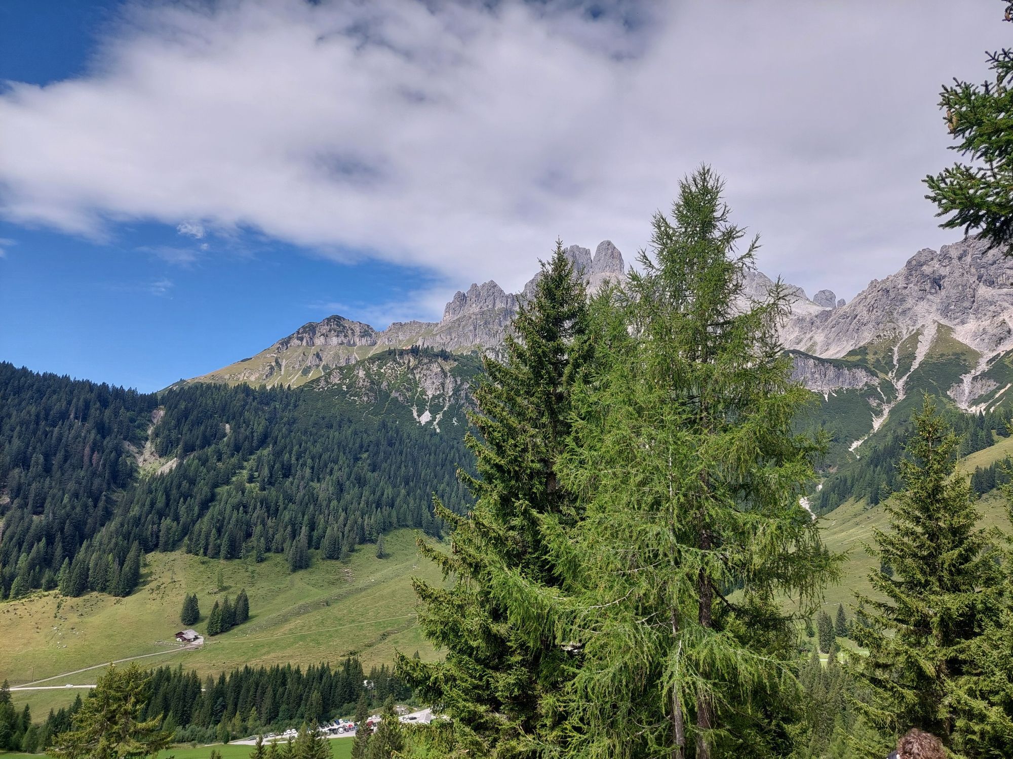
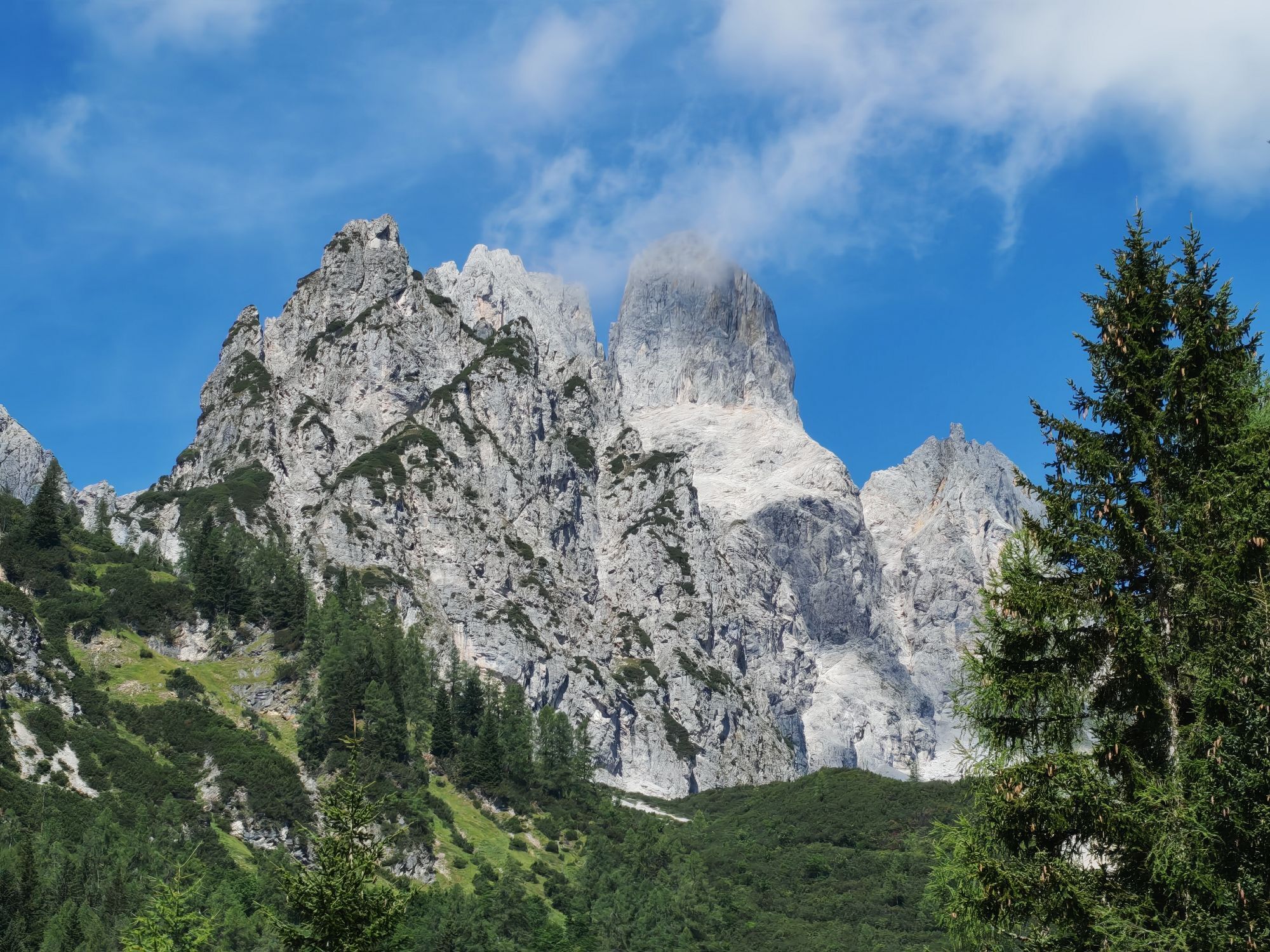
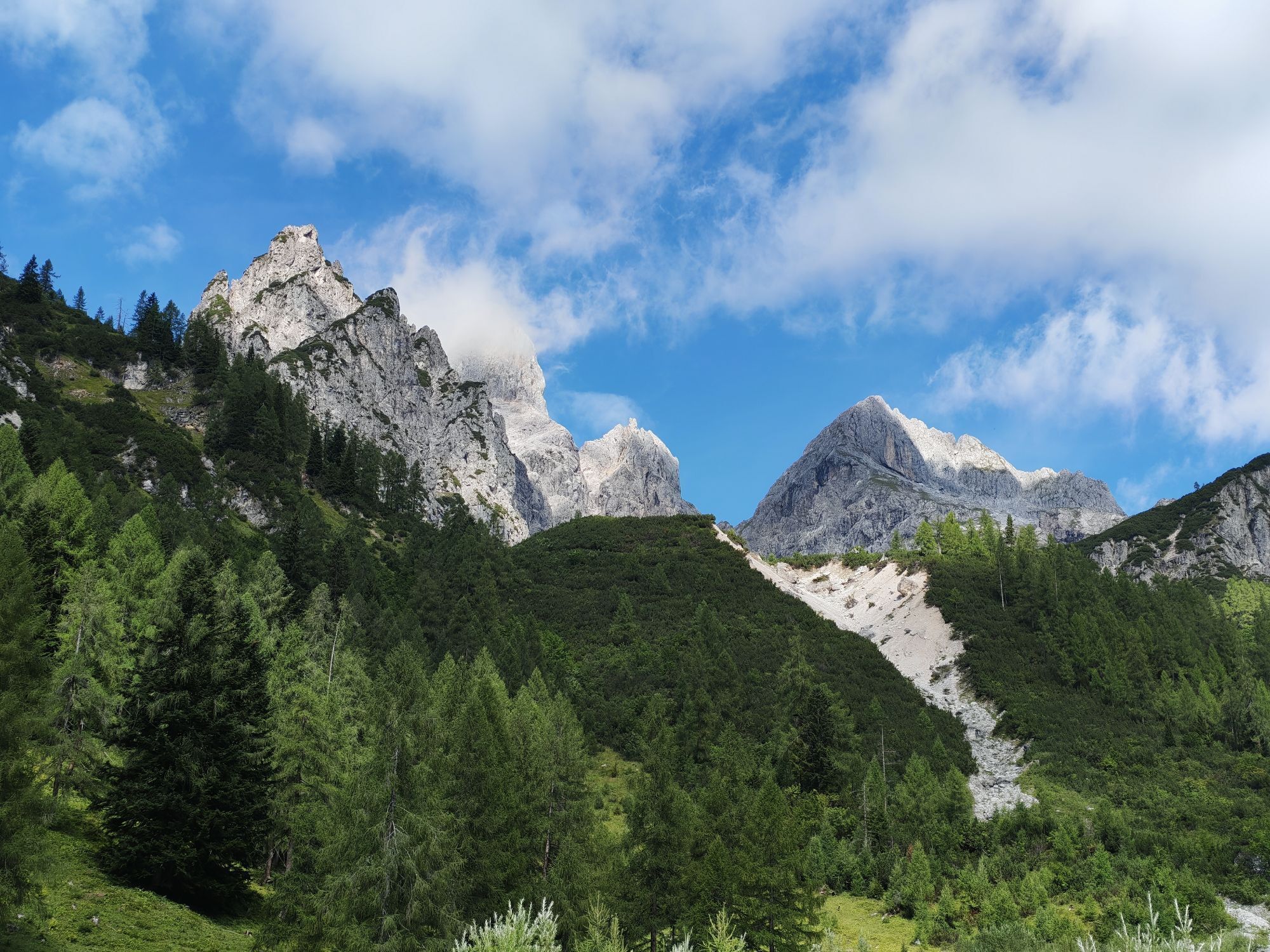
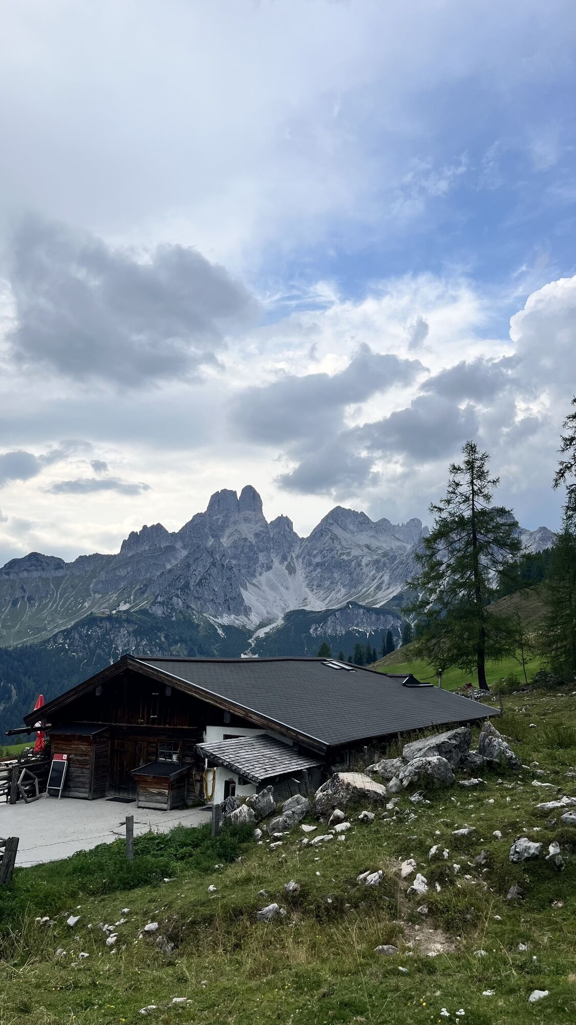
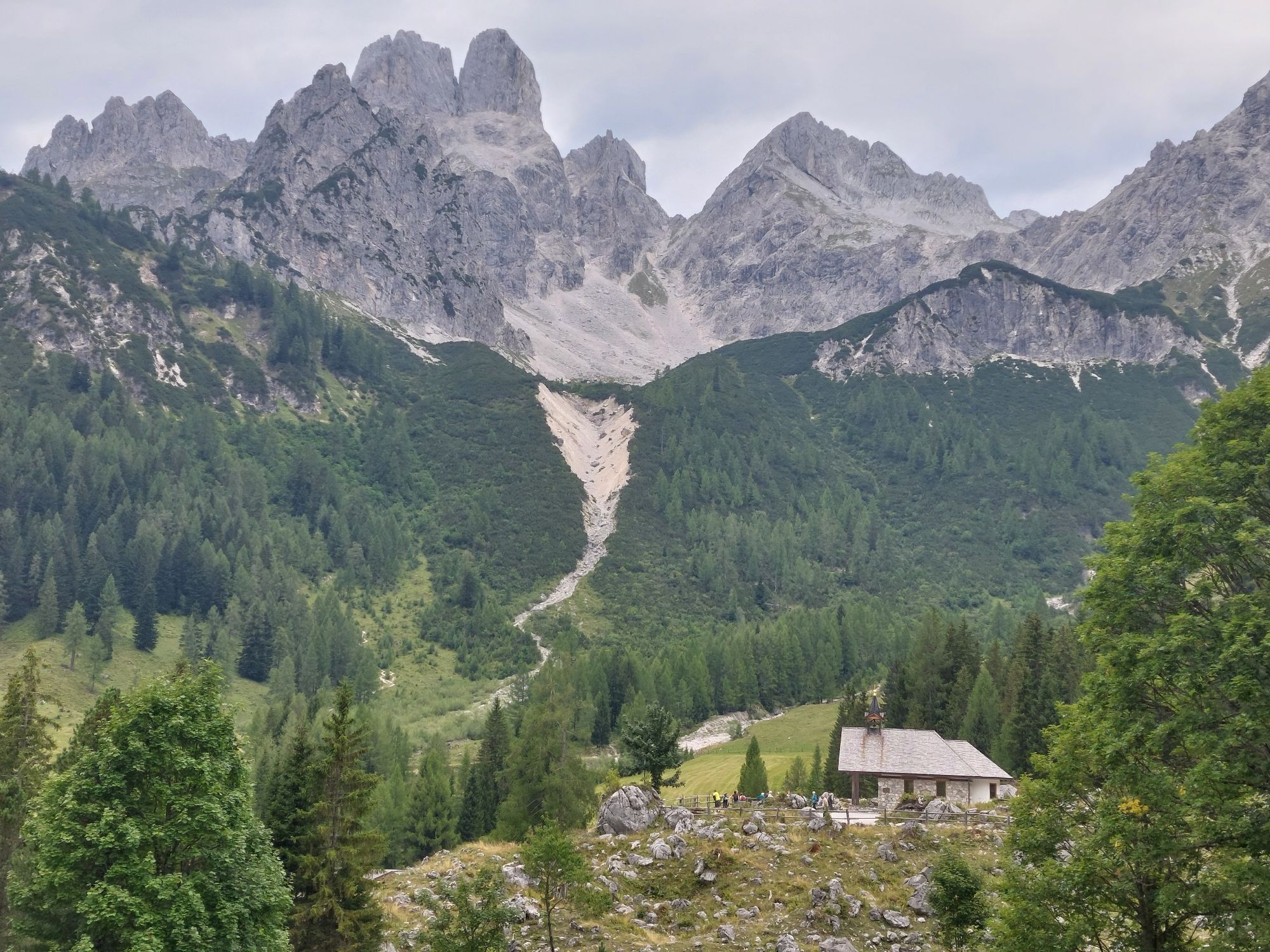
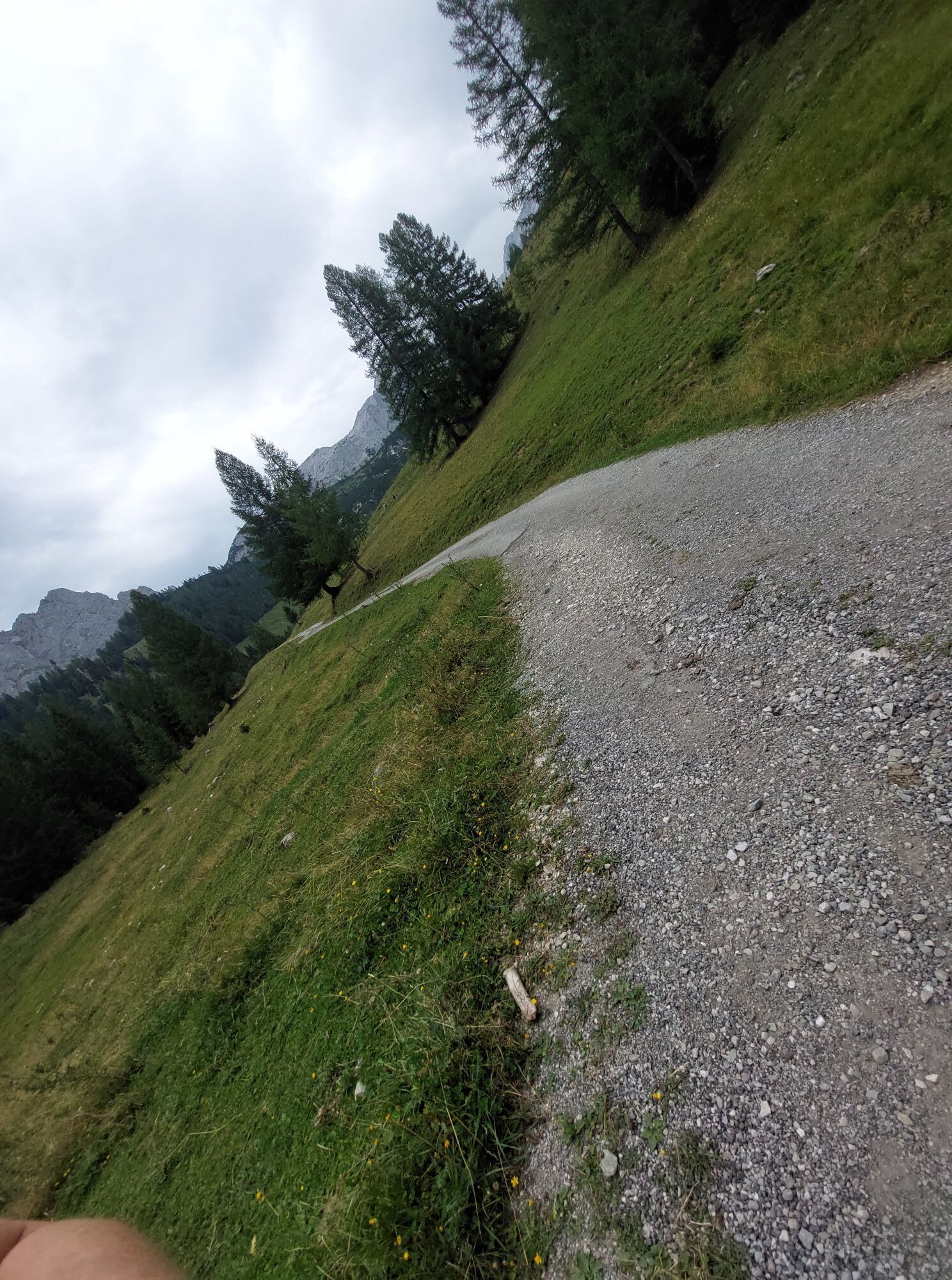
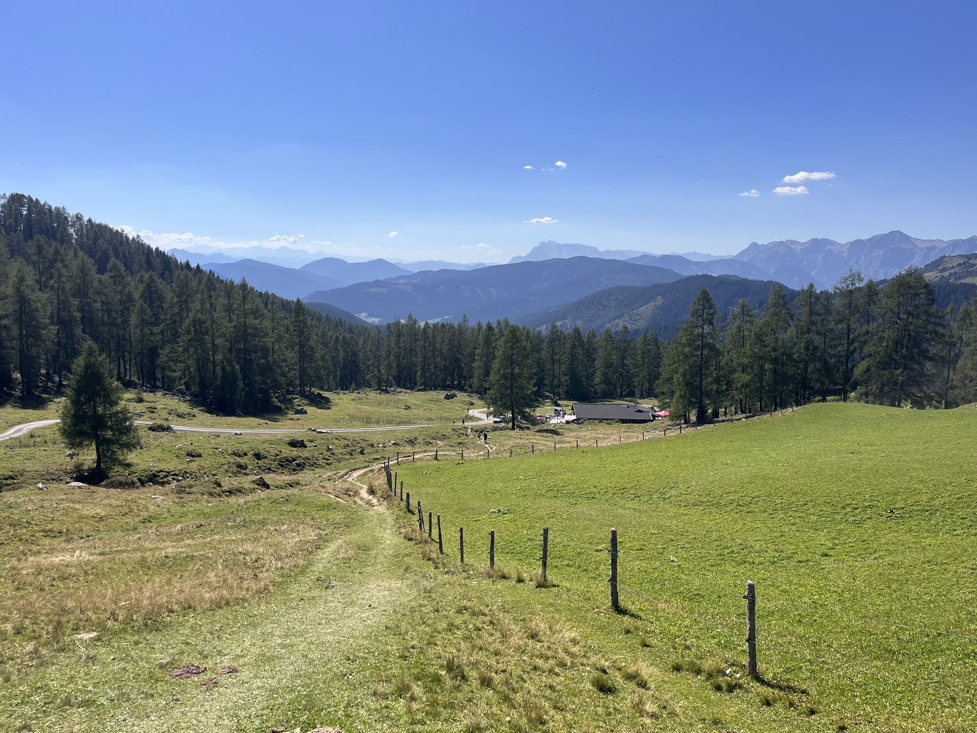
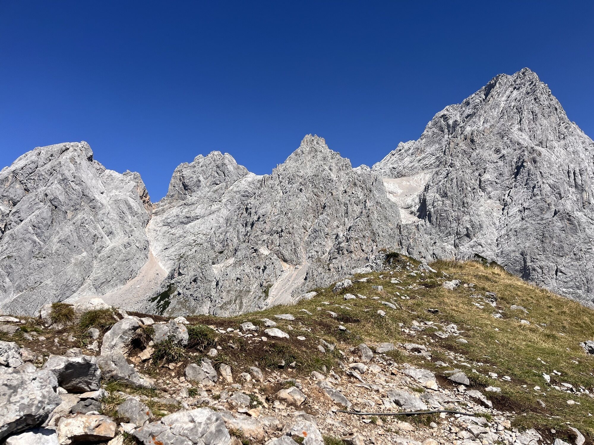
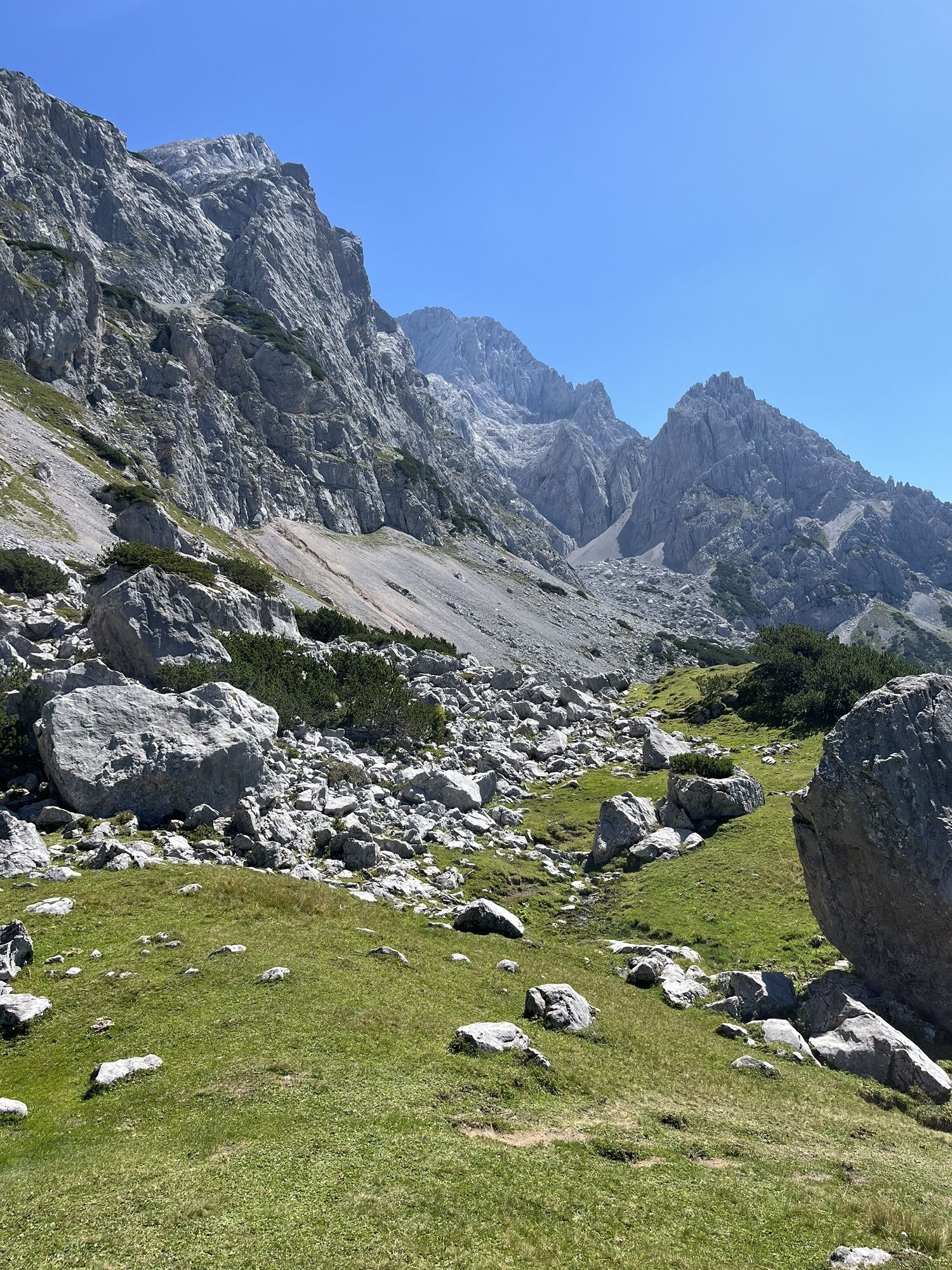
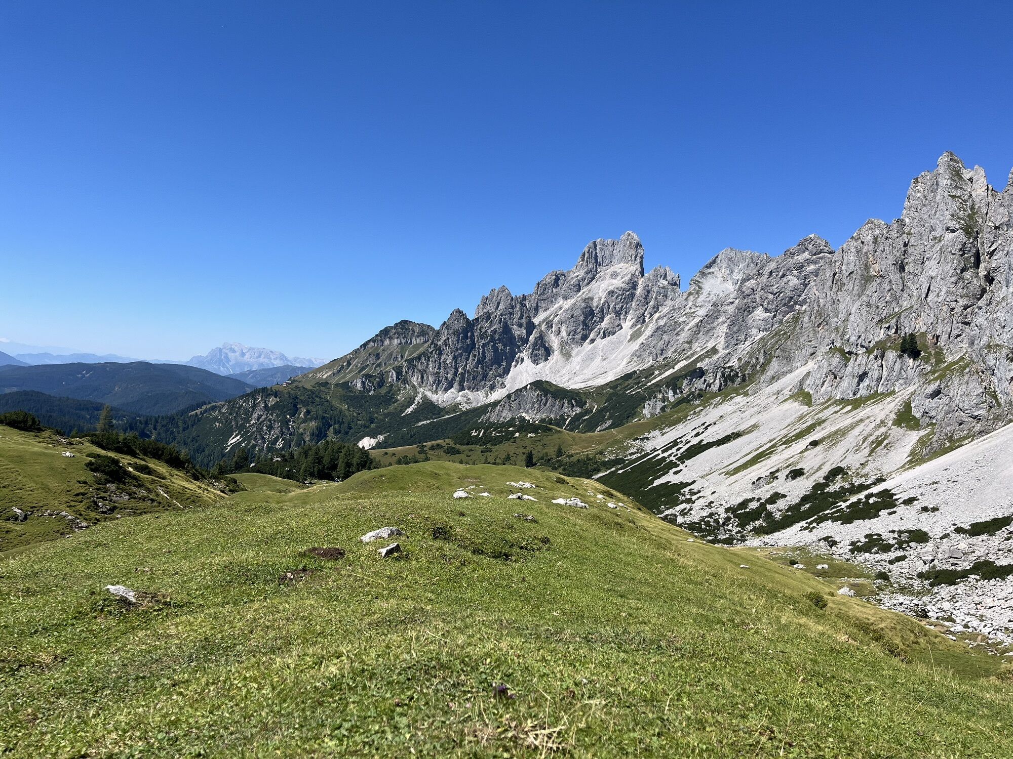
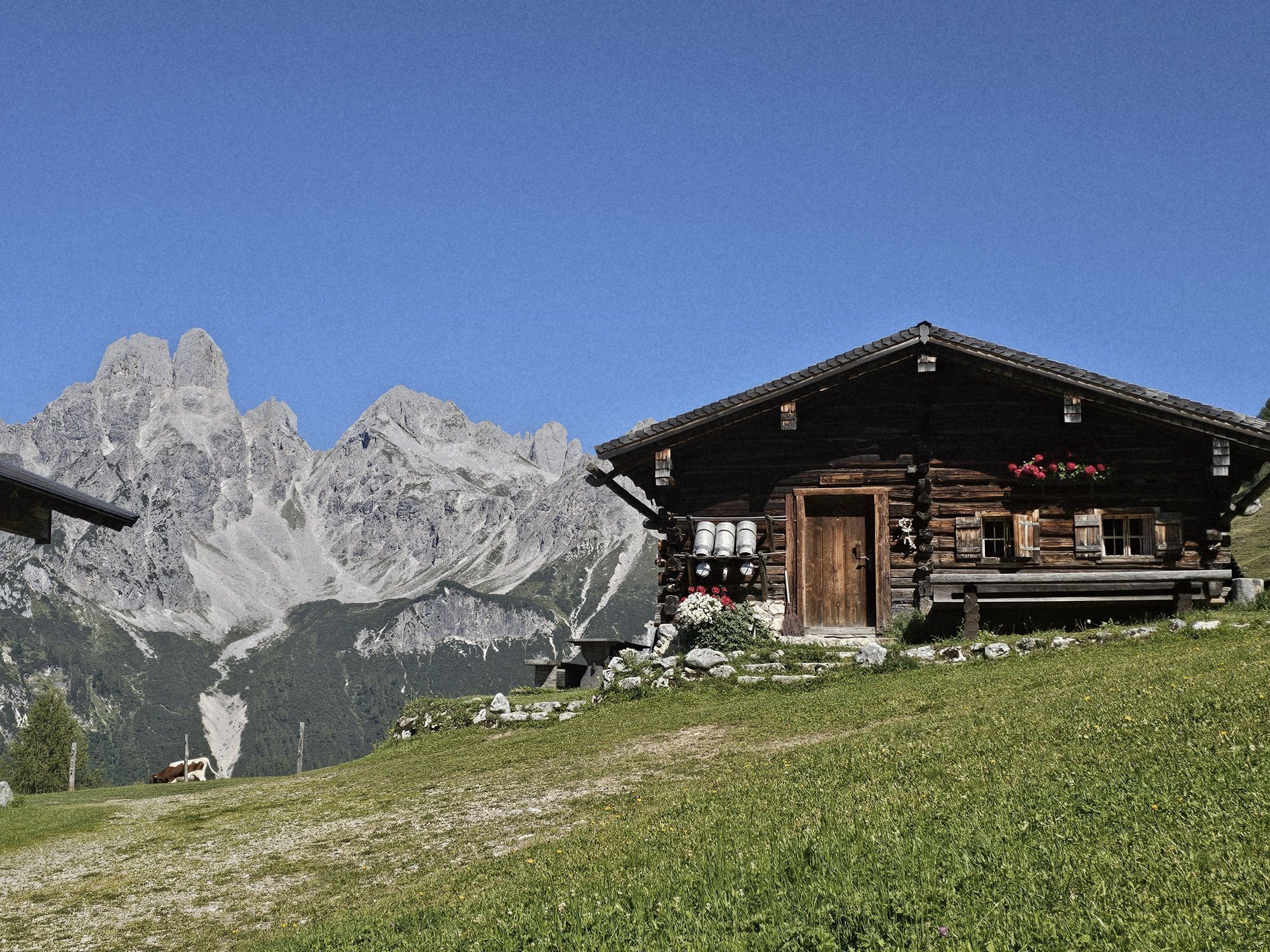
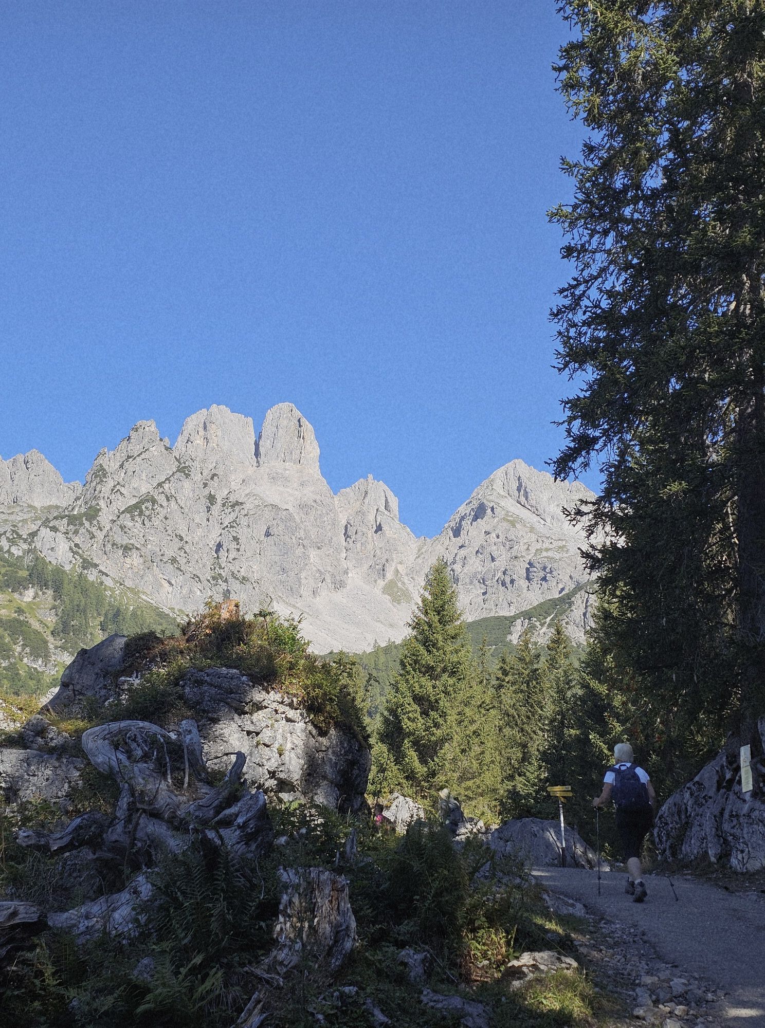
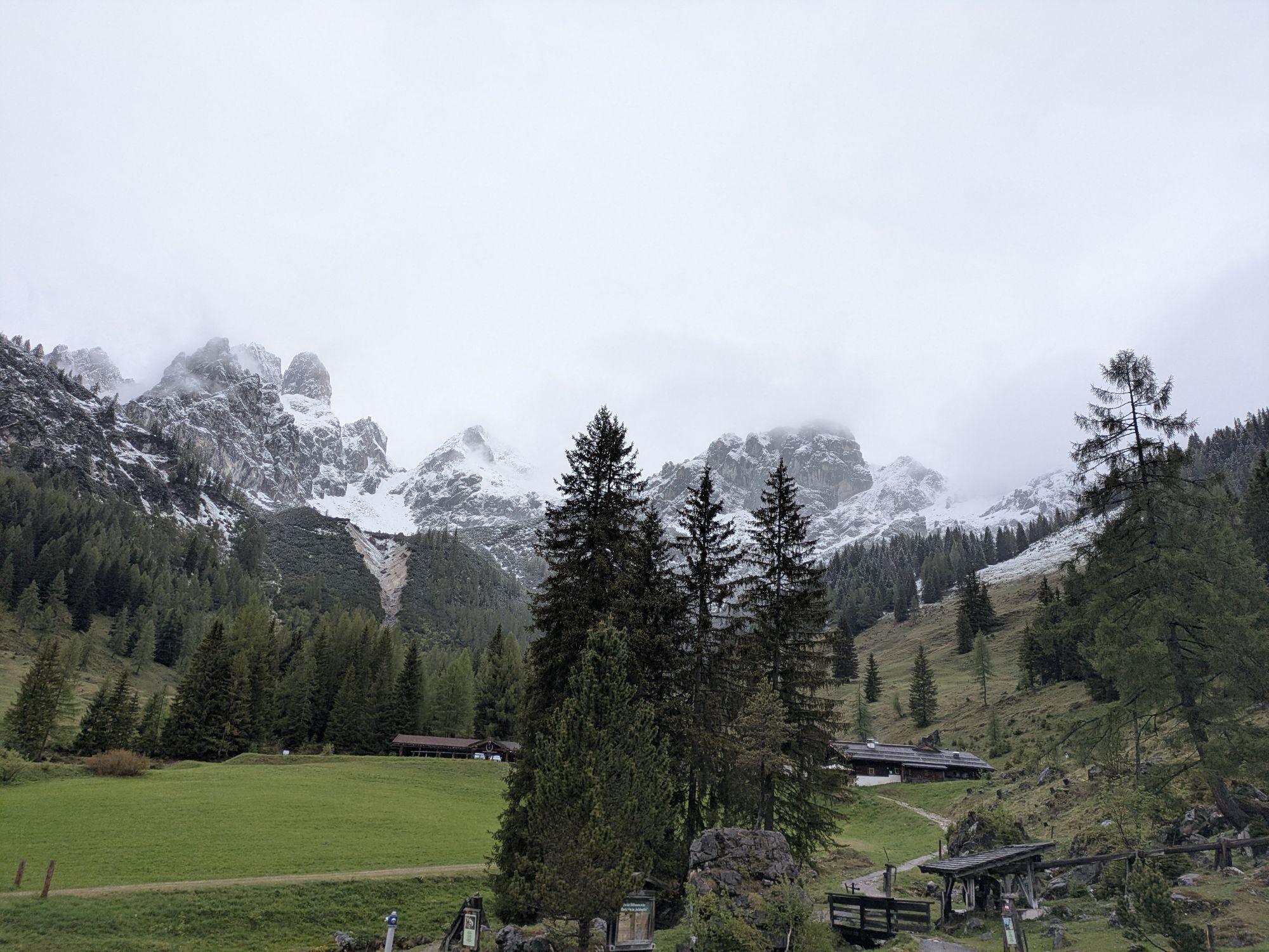
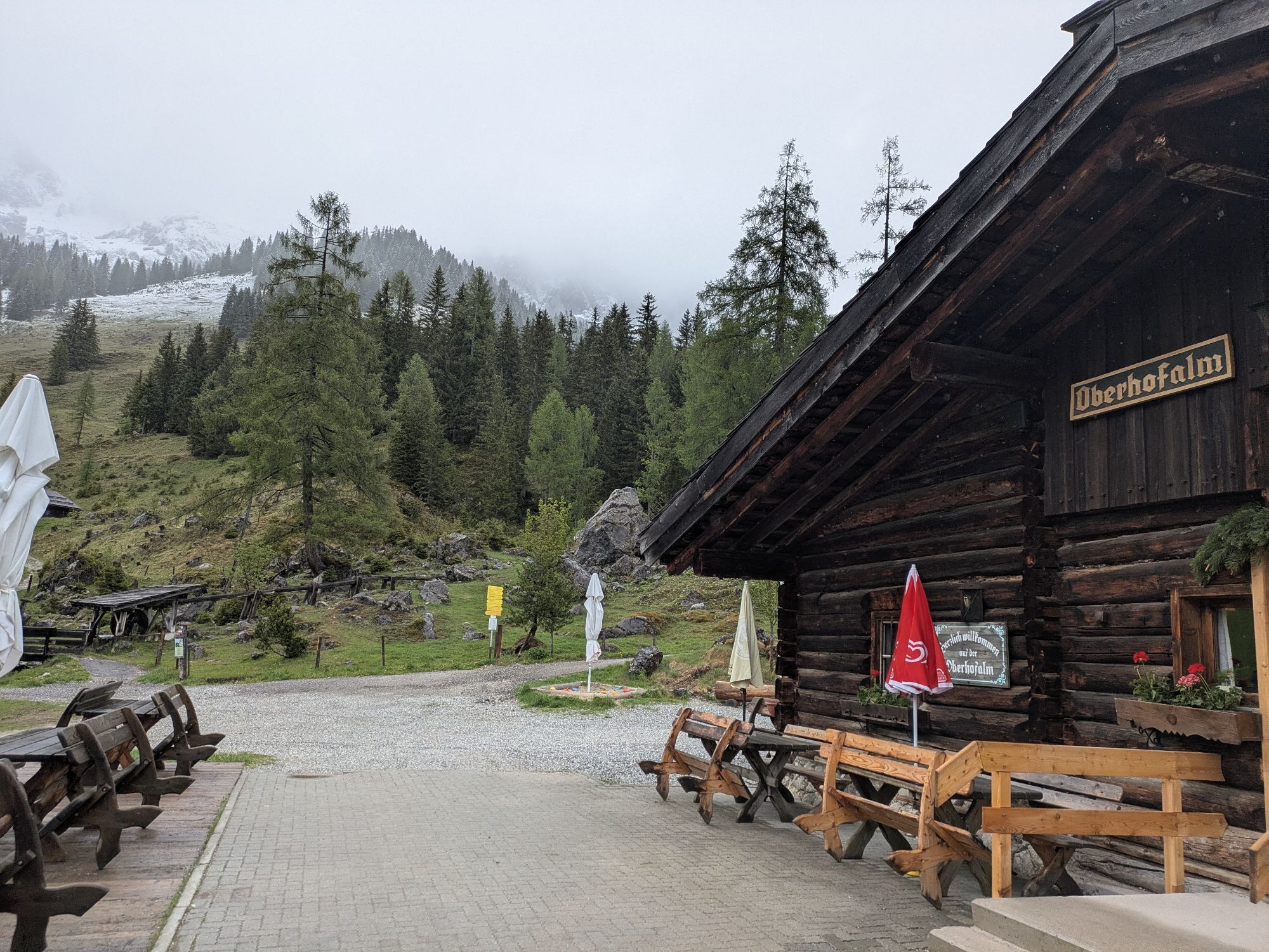
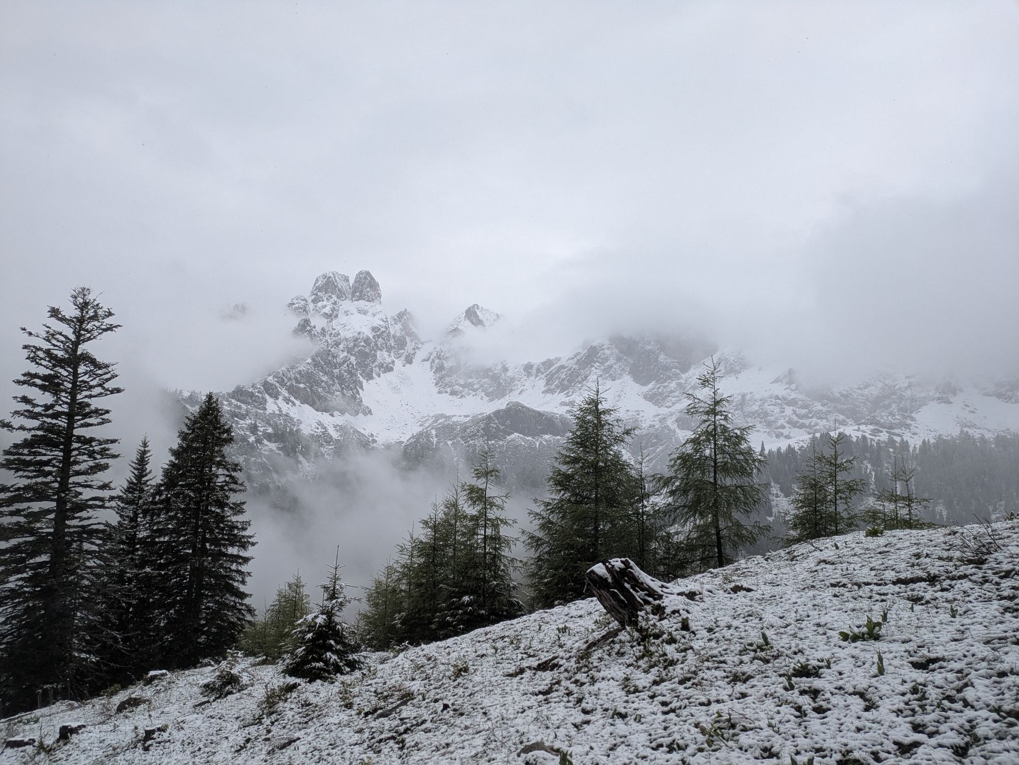
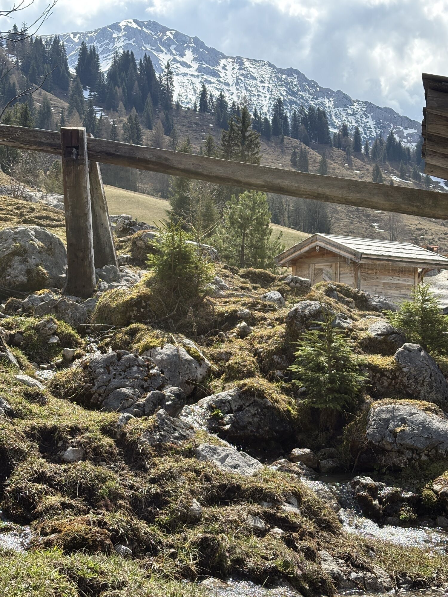
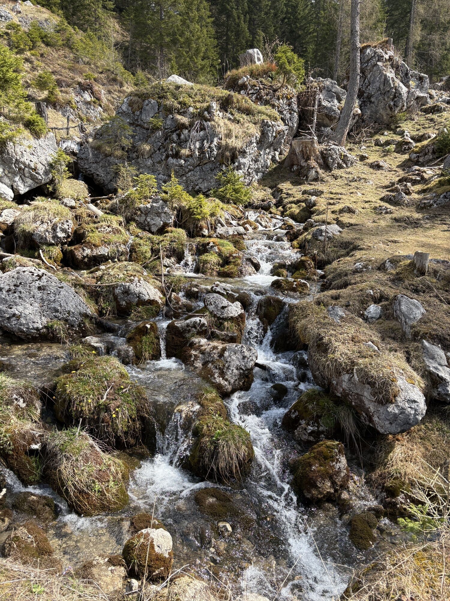
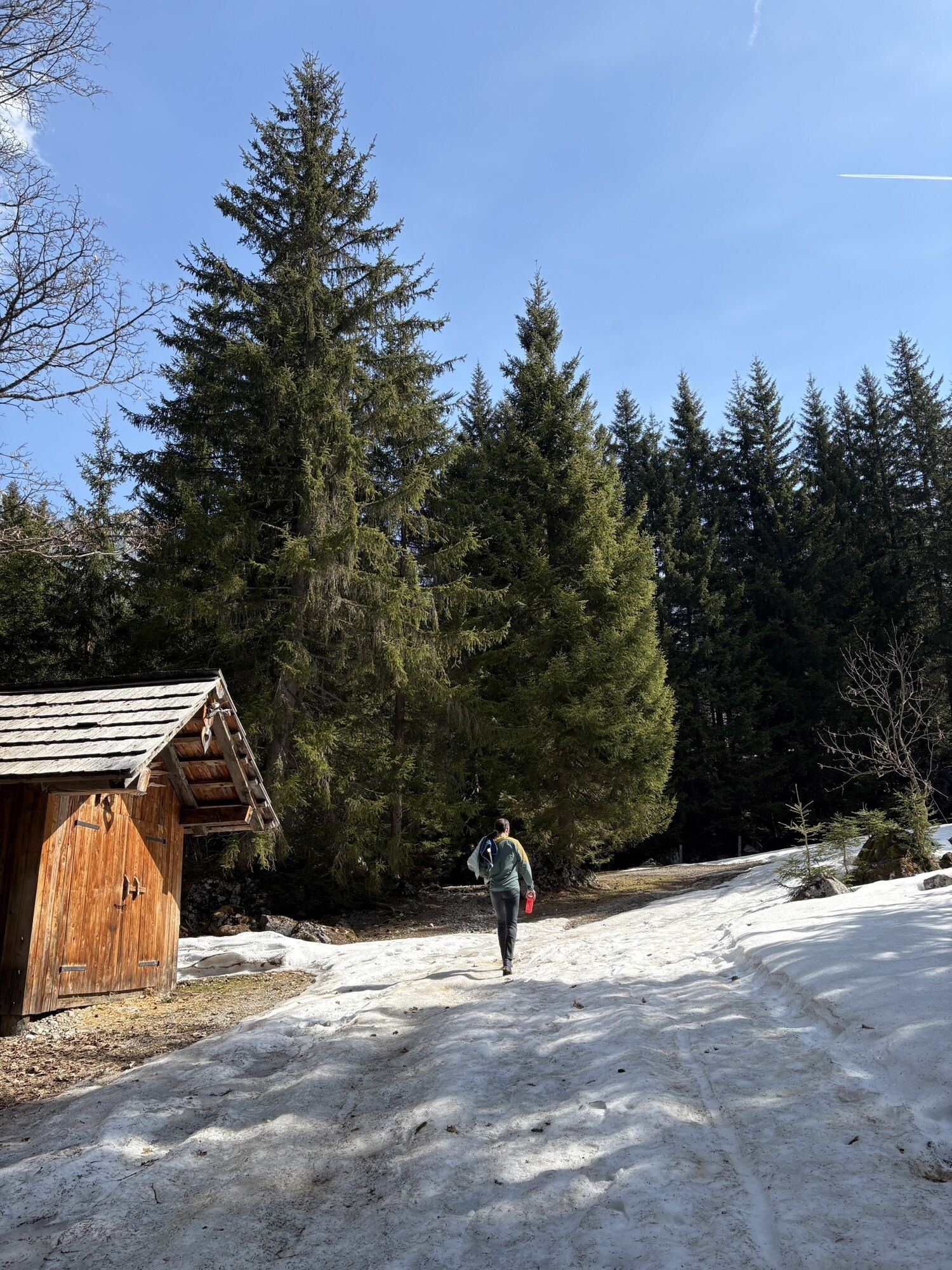
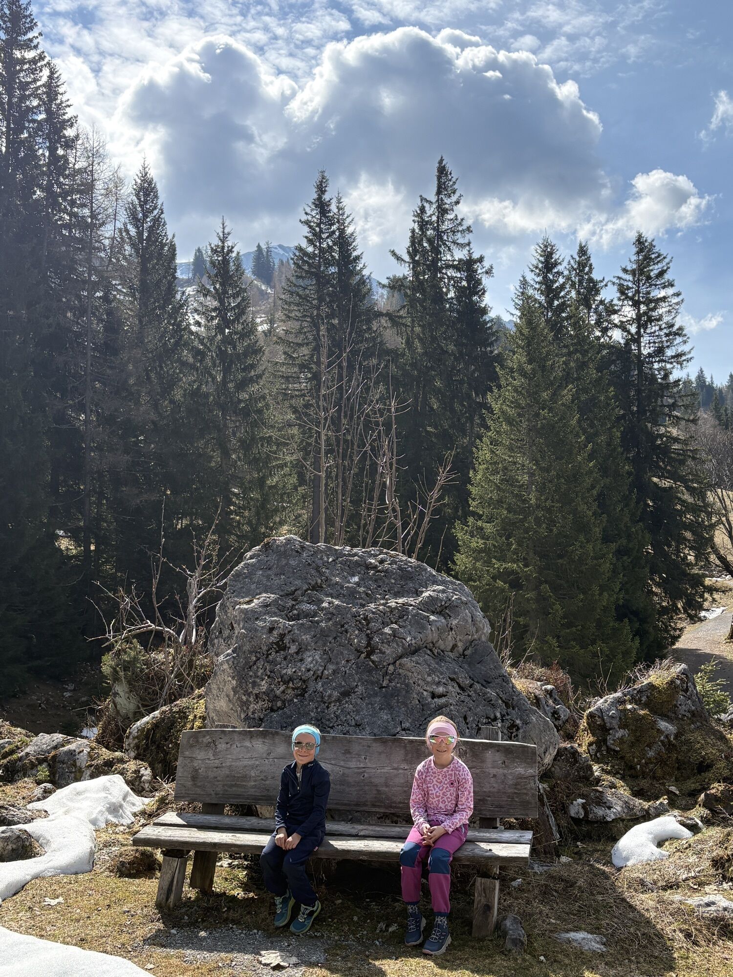
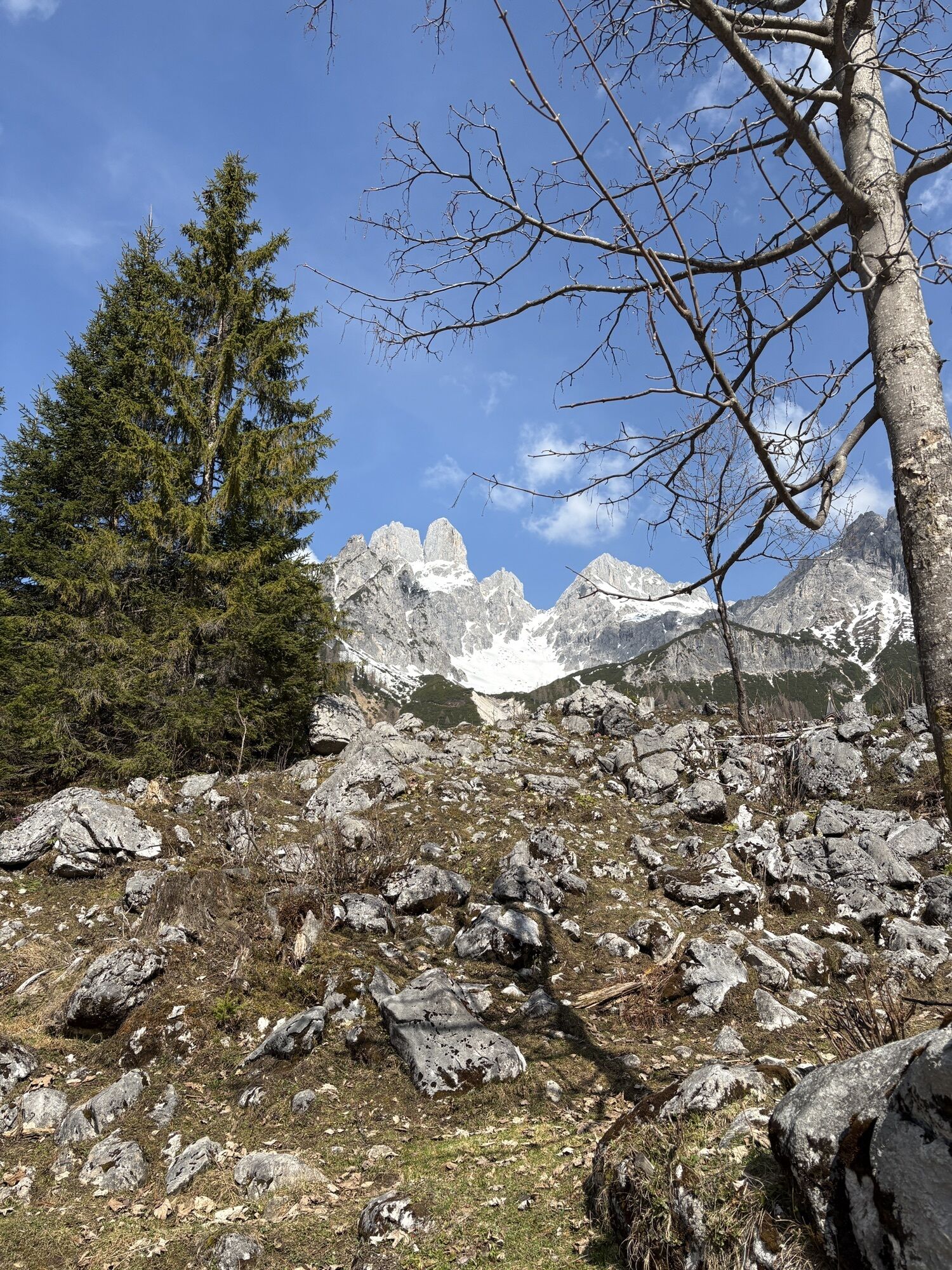
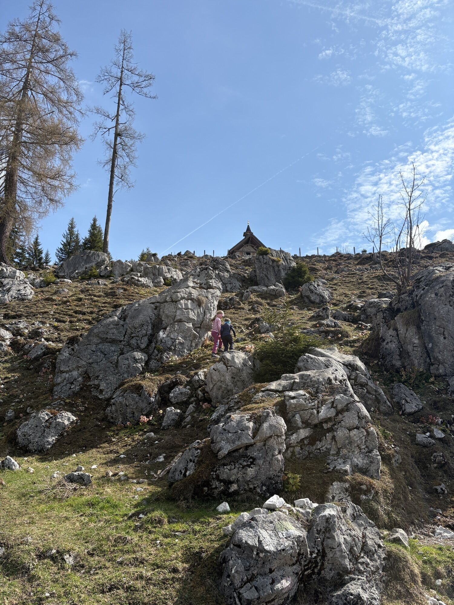
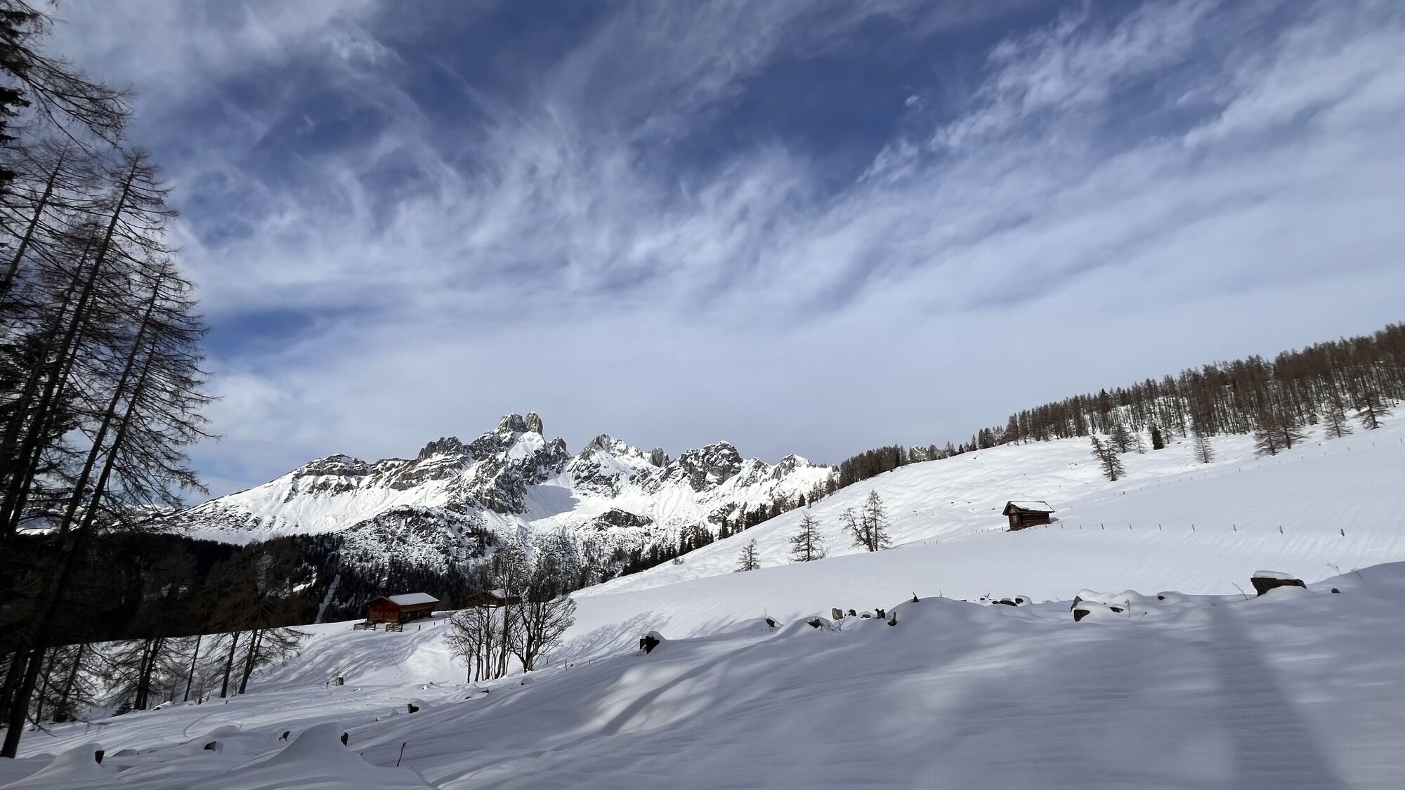
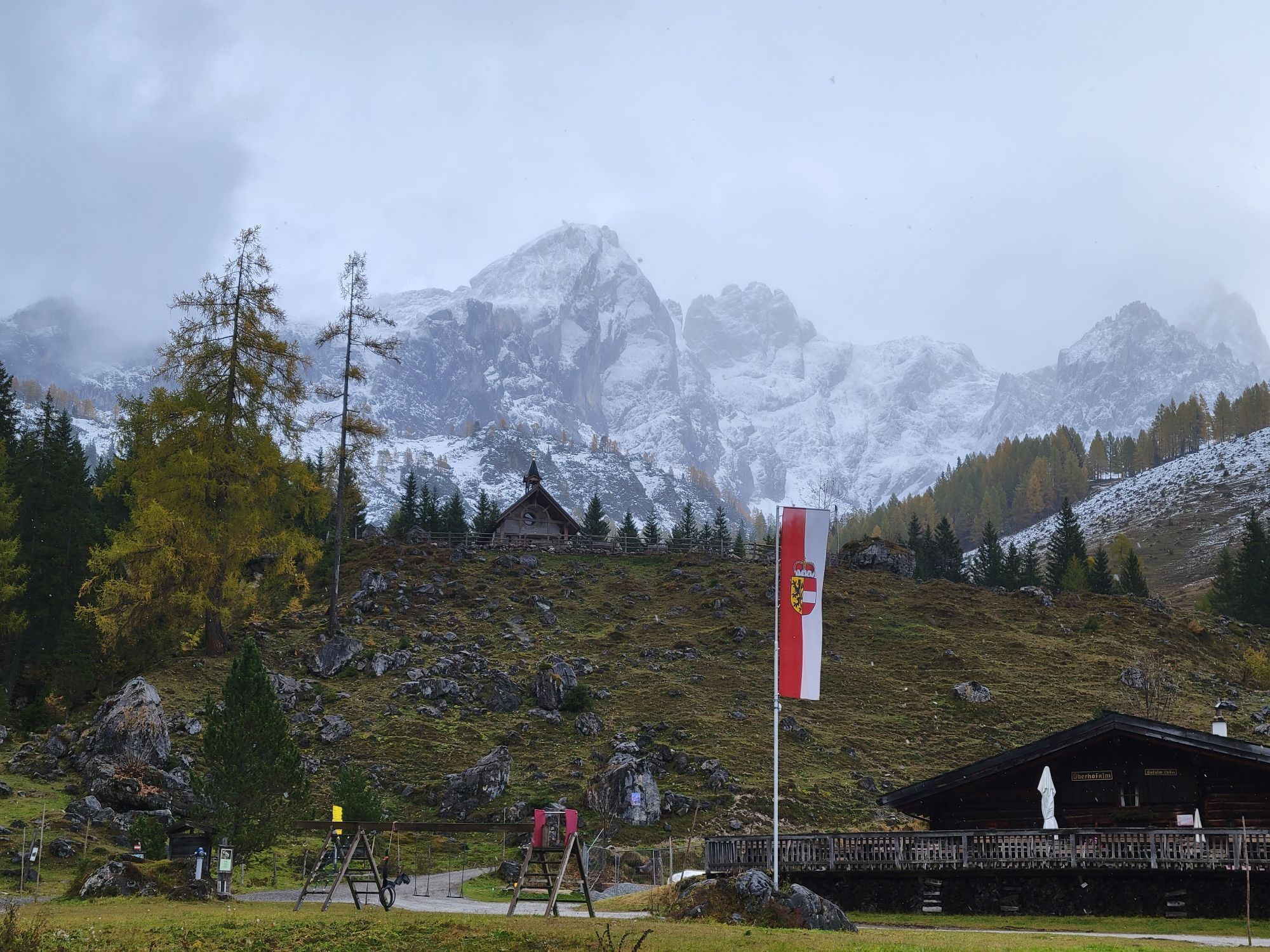
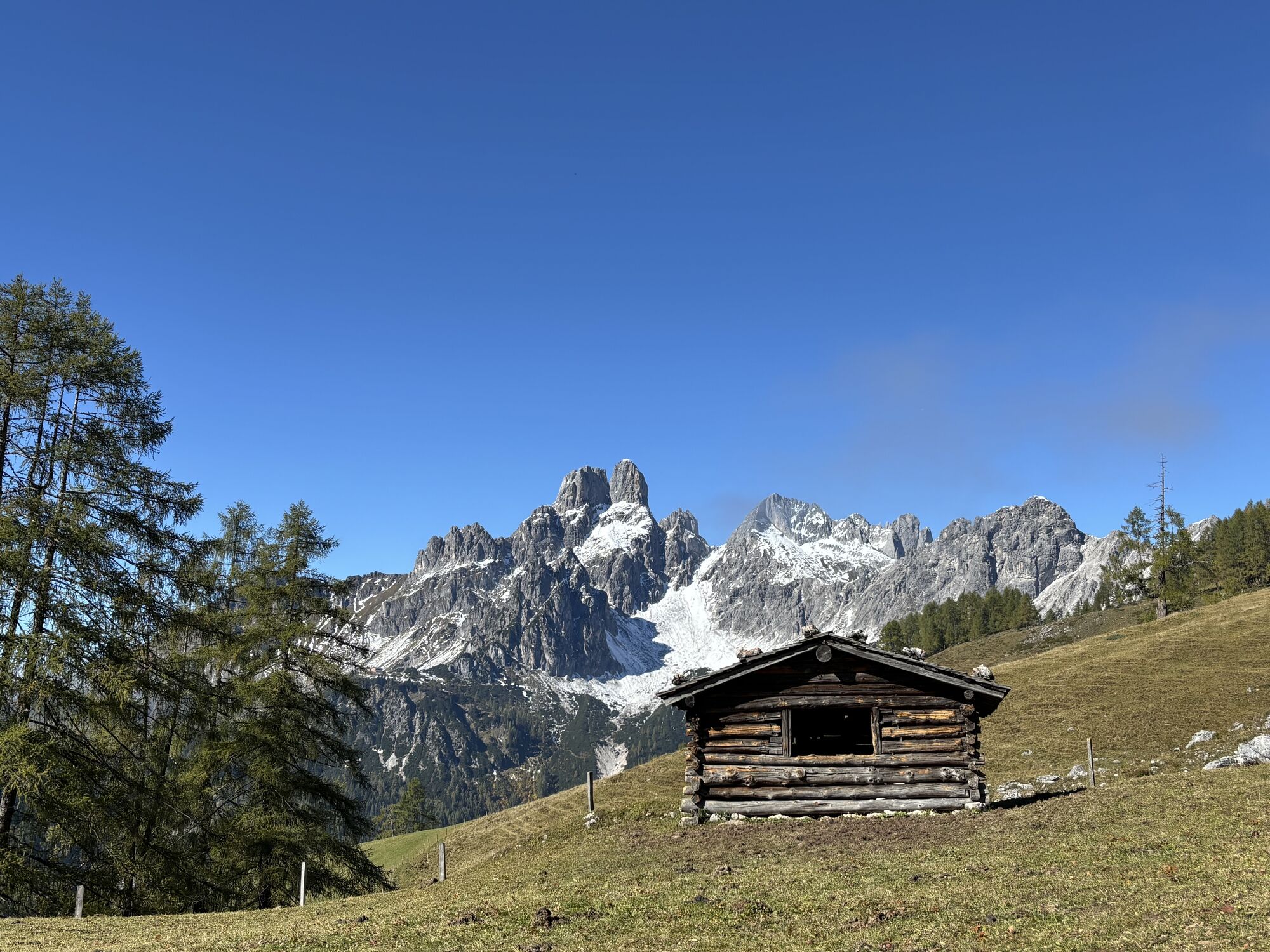
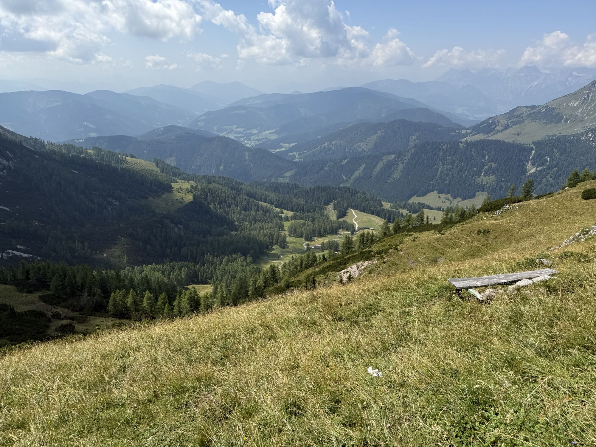
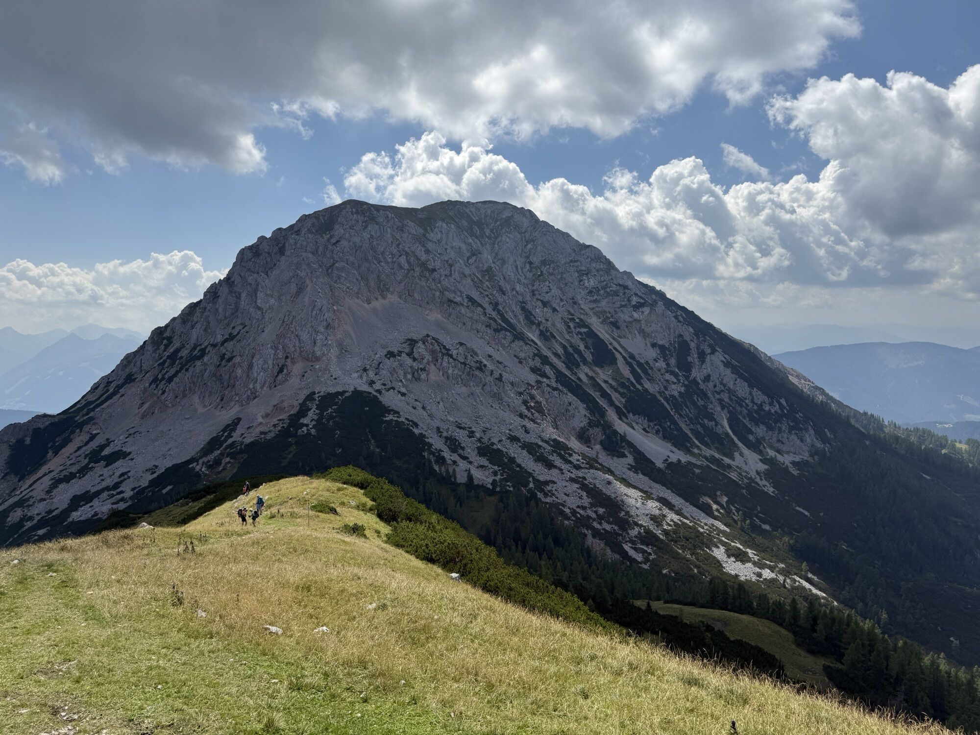
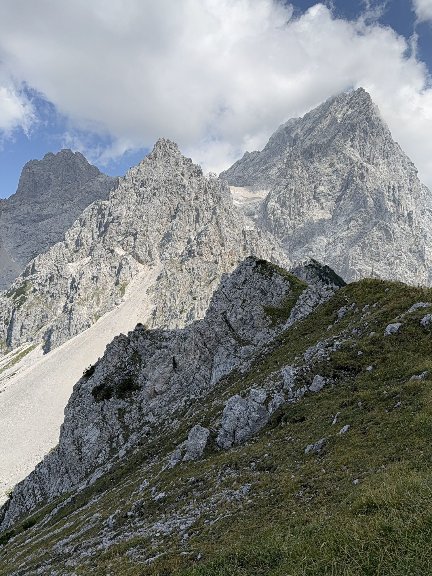
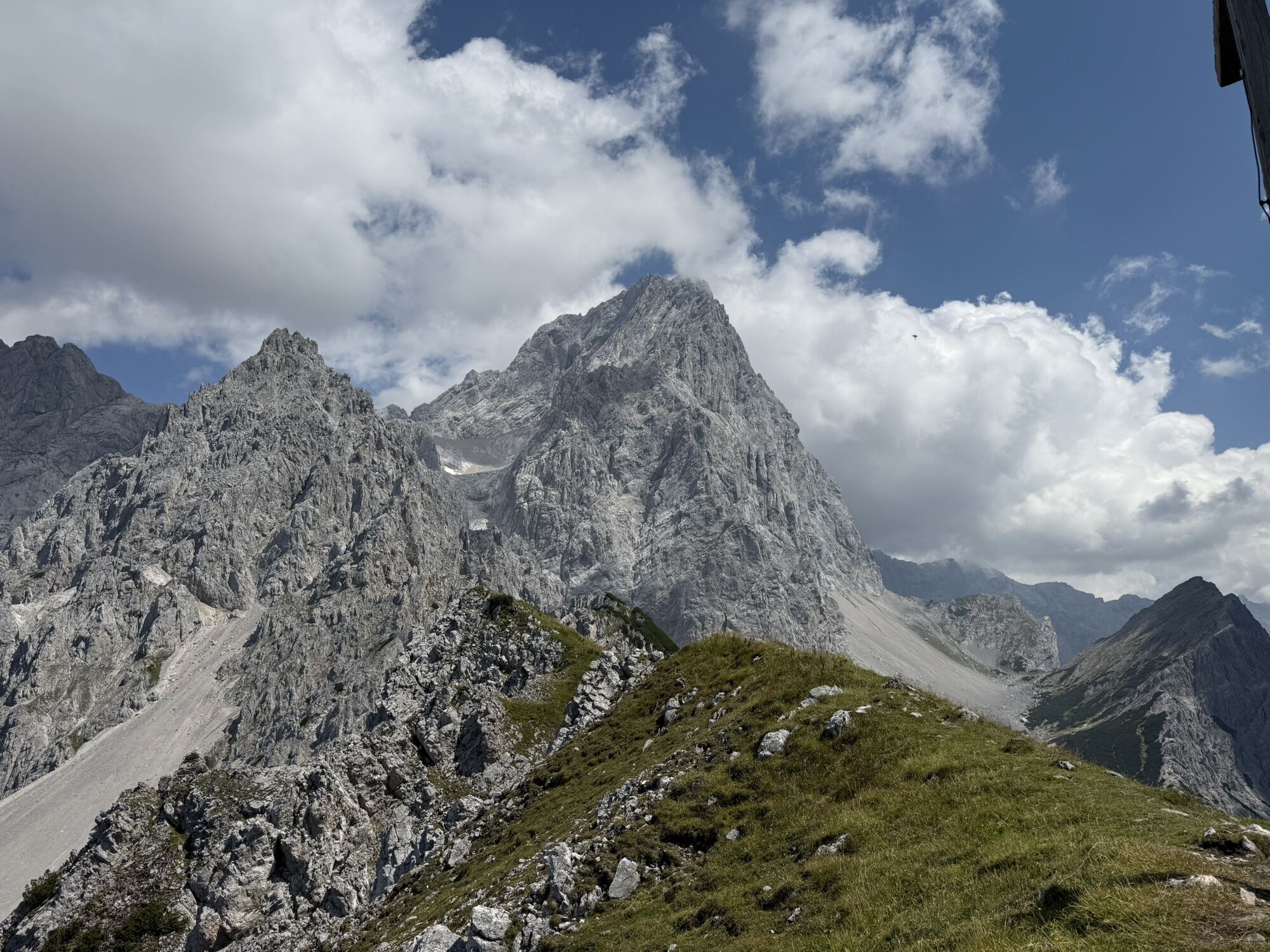
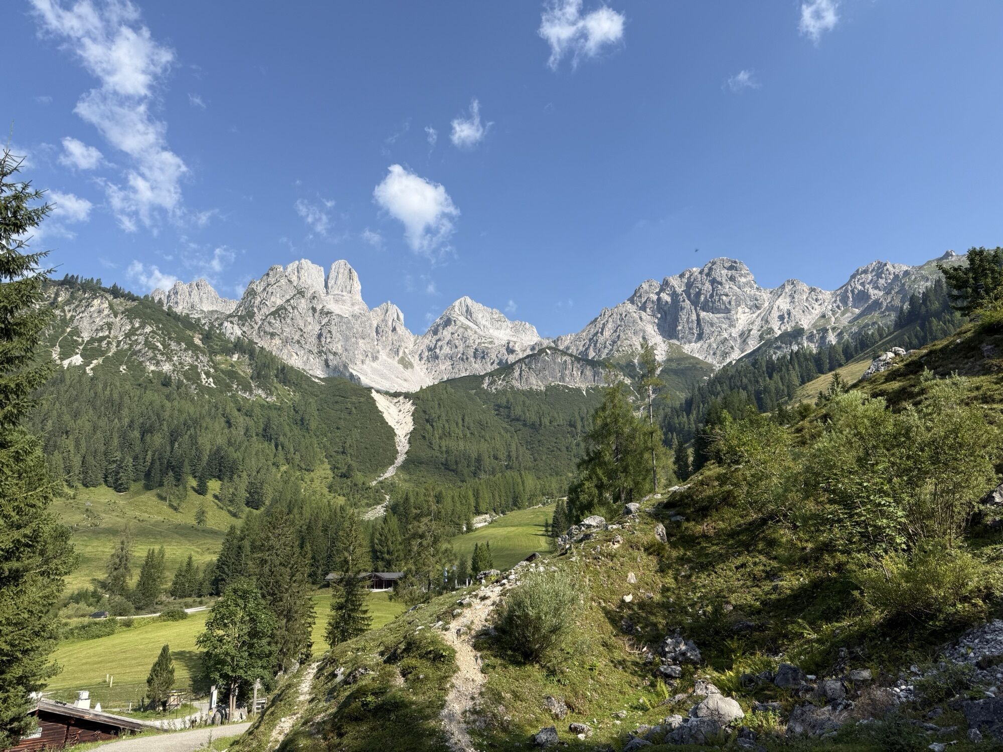
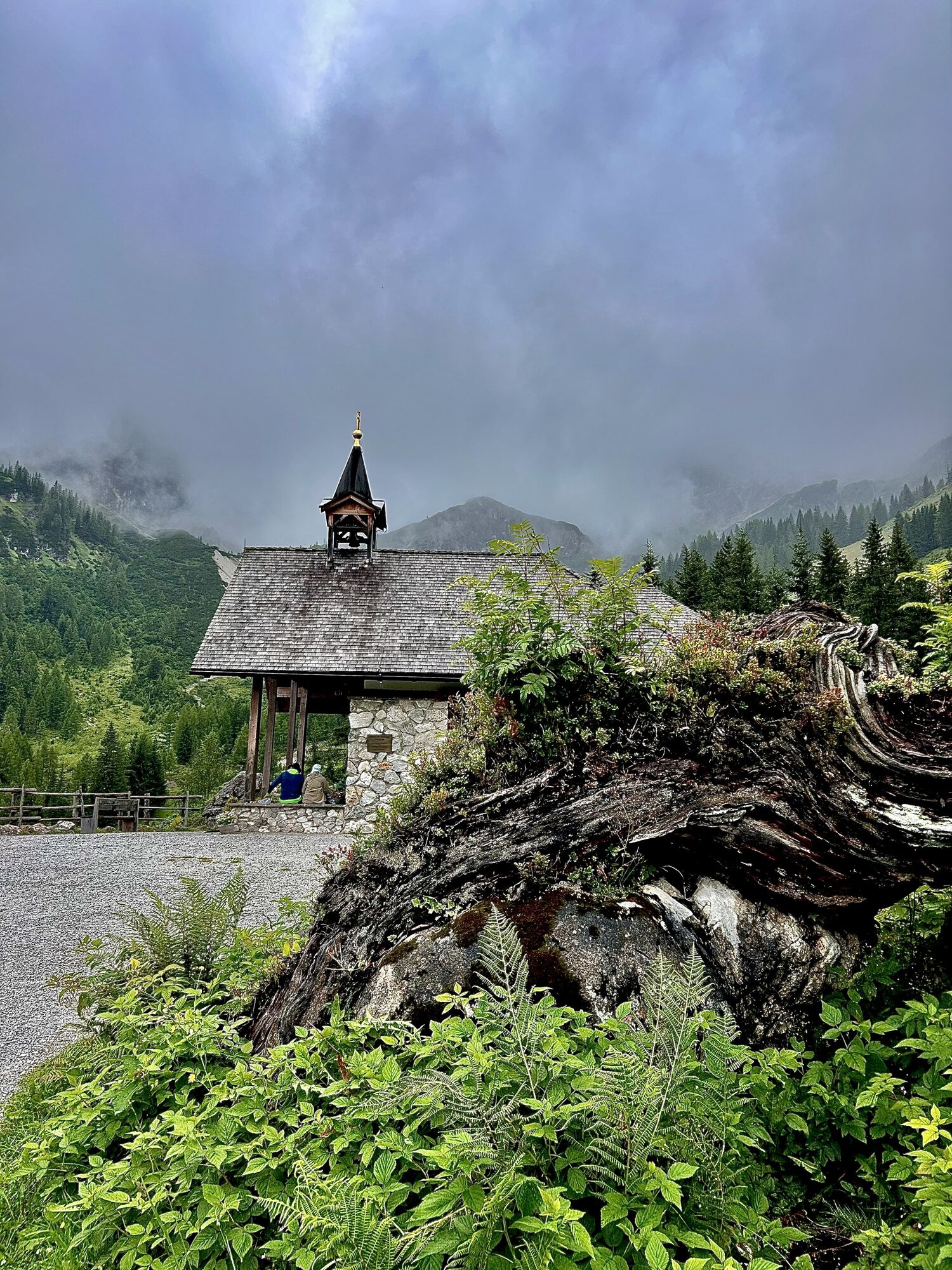
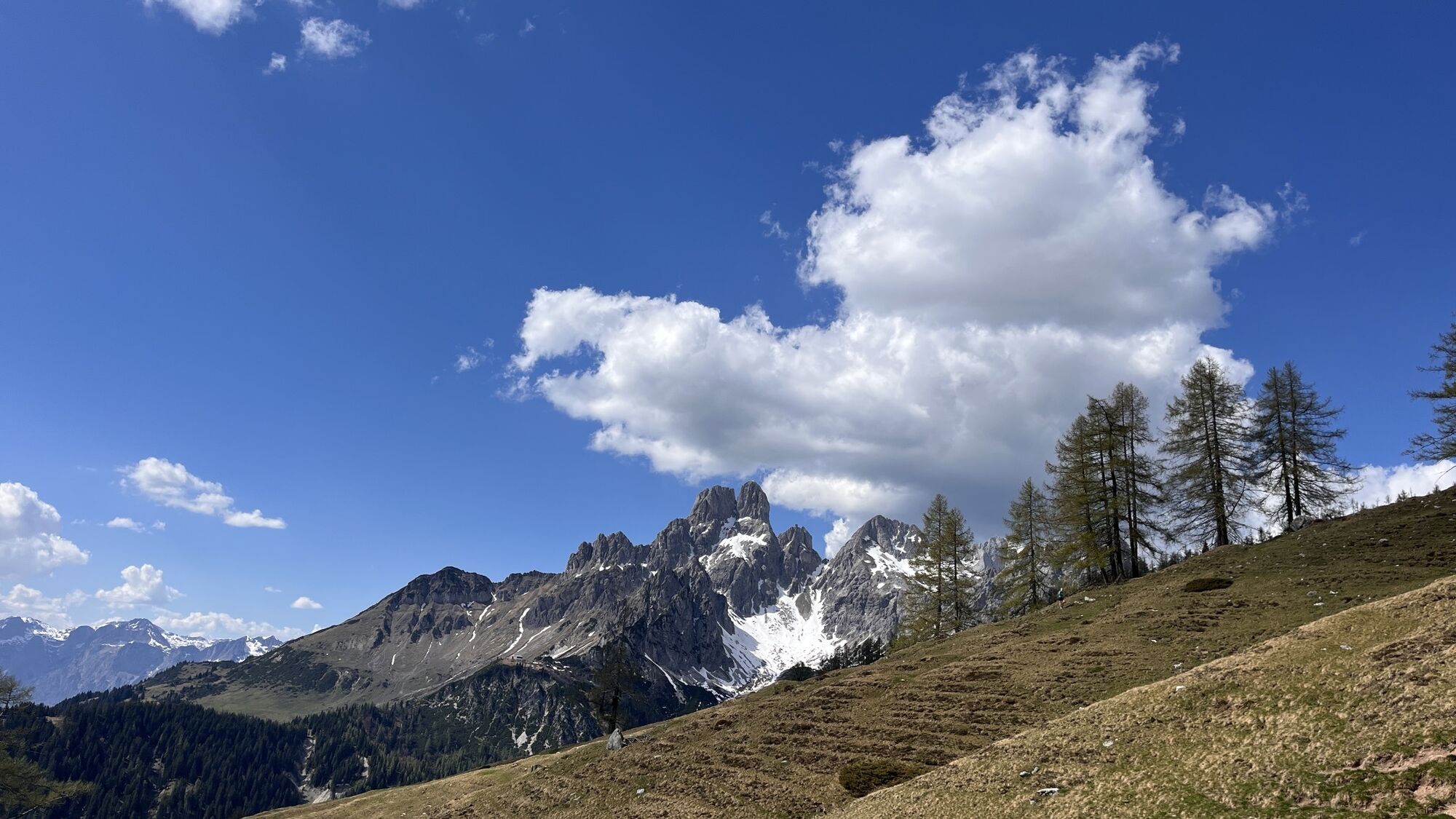
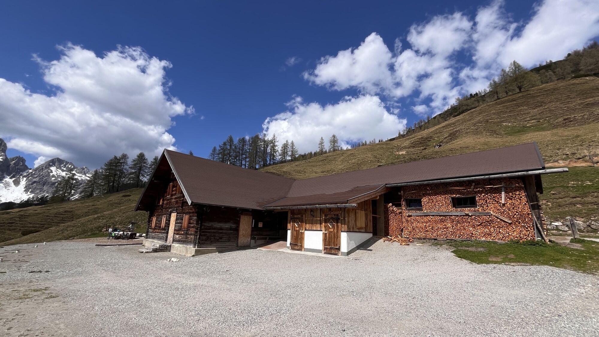

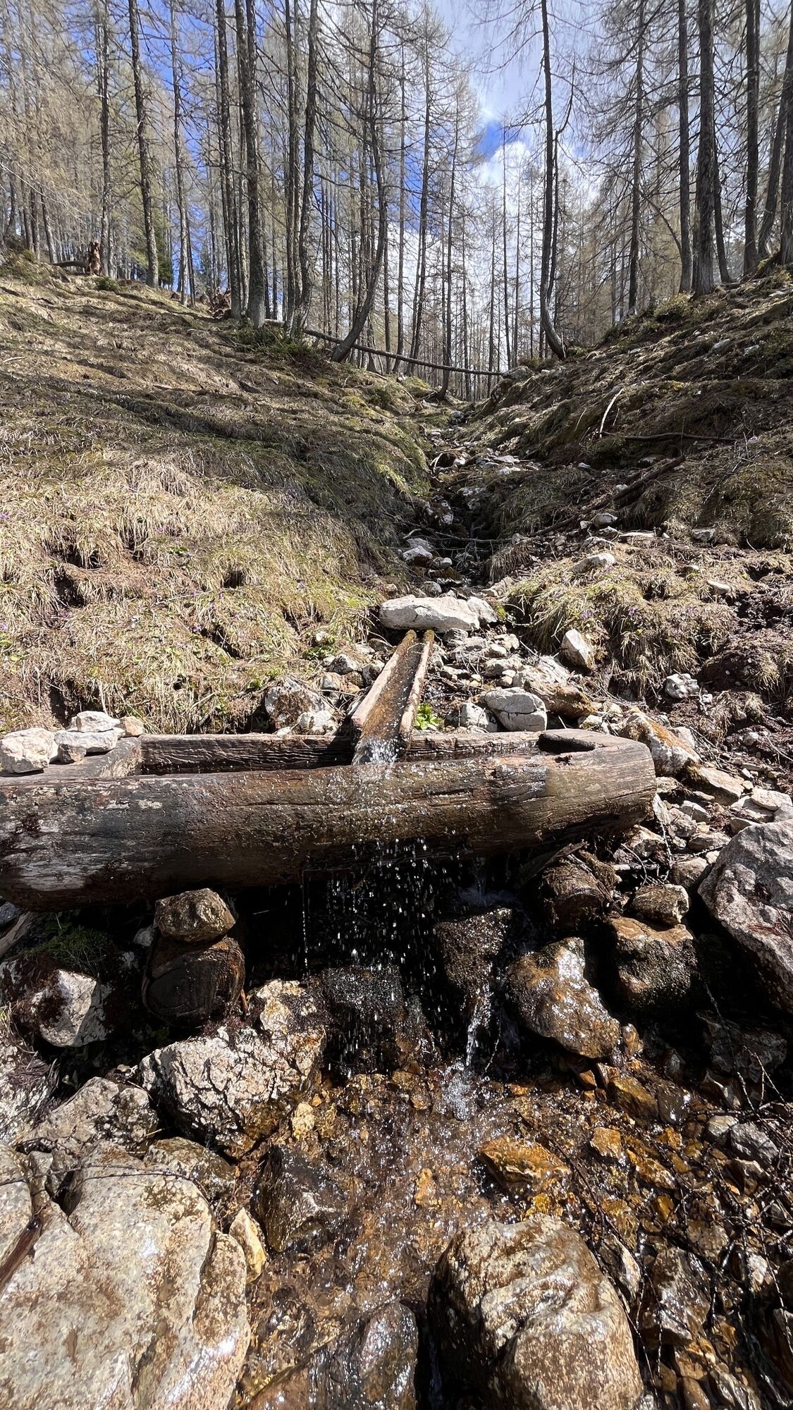
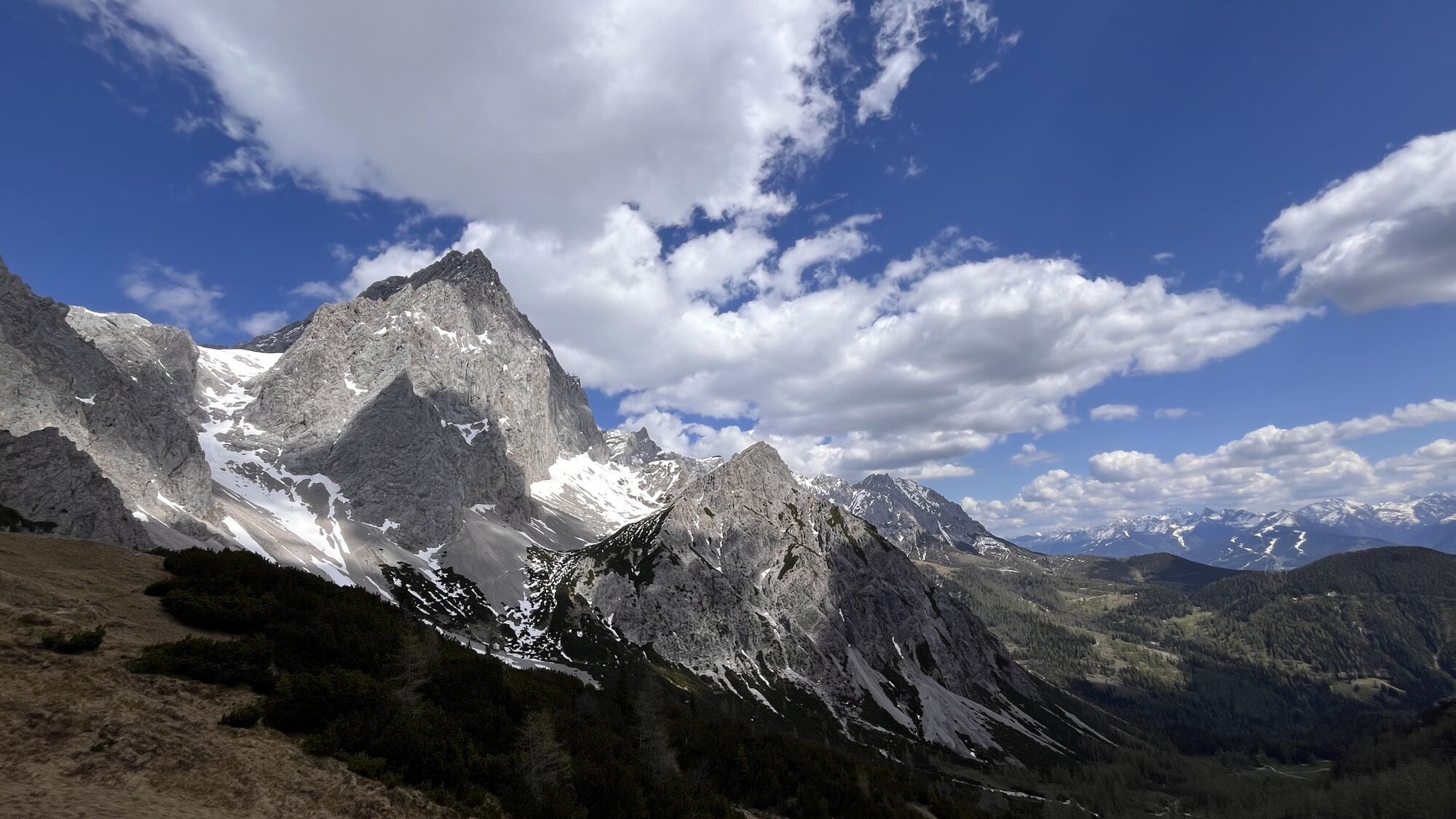
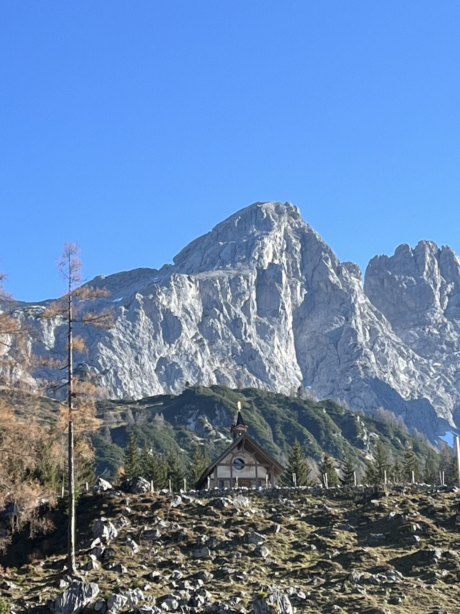
Depuis l'Oberhofalm, un sentier raide en lacets traverse une forêt d'épicéas jusqu'à Rinderfeld, un magnifique paysage d'alpage. À Rinderfeld, le chemin reste presque toujours à la même altitude en direction...
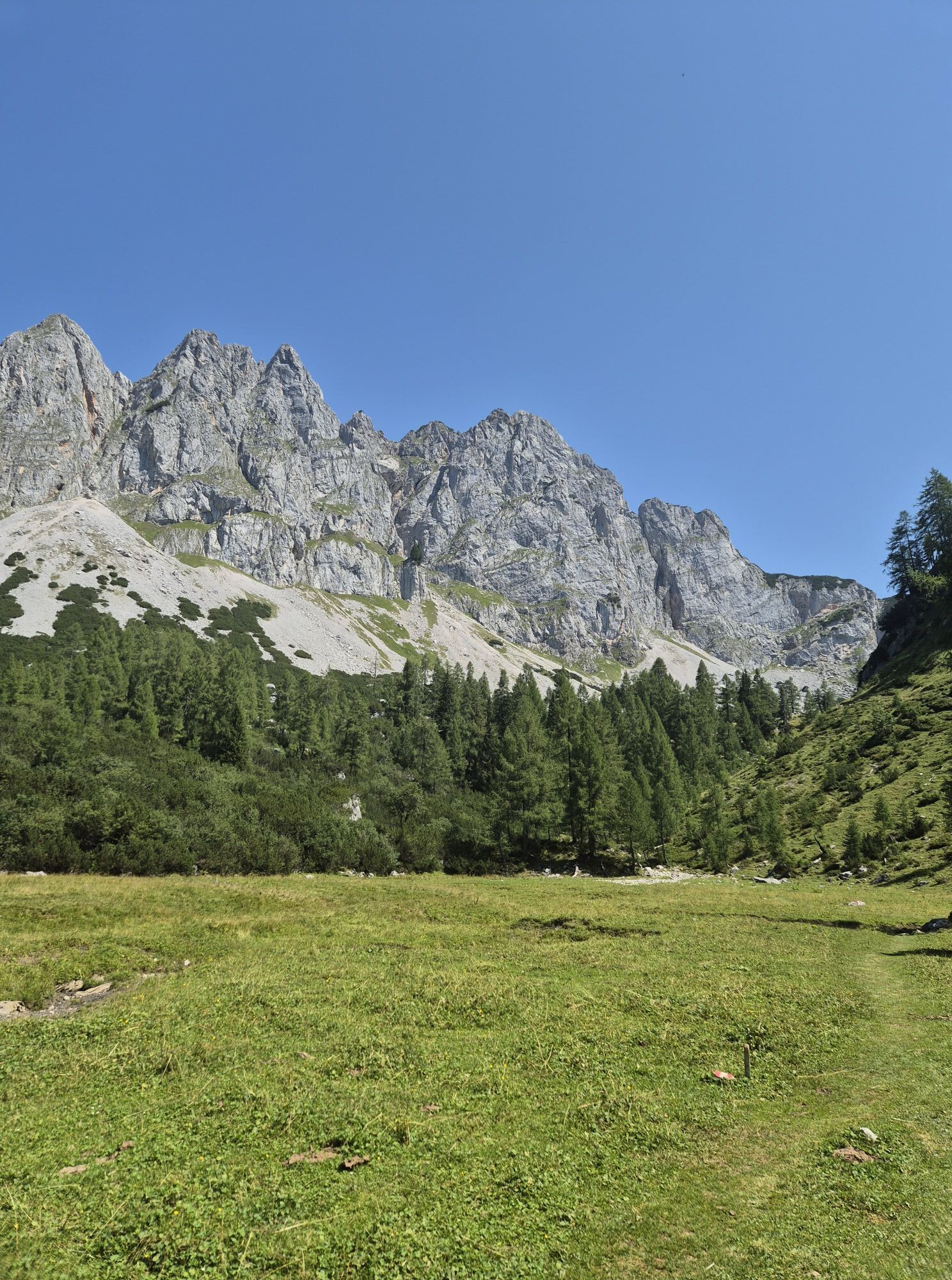
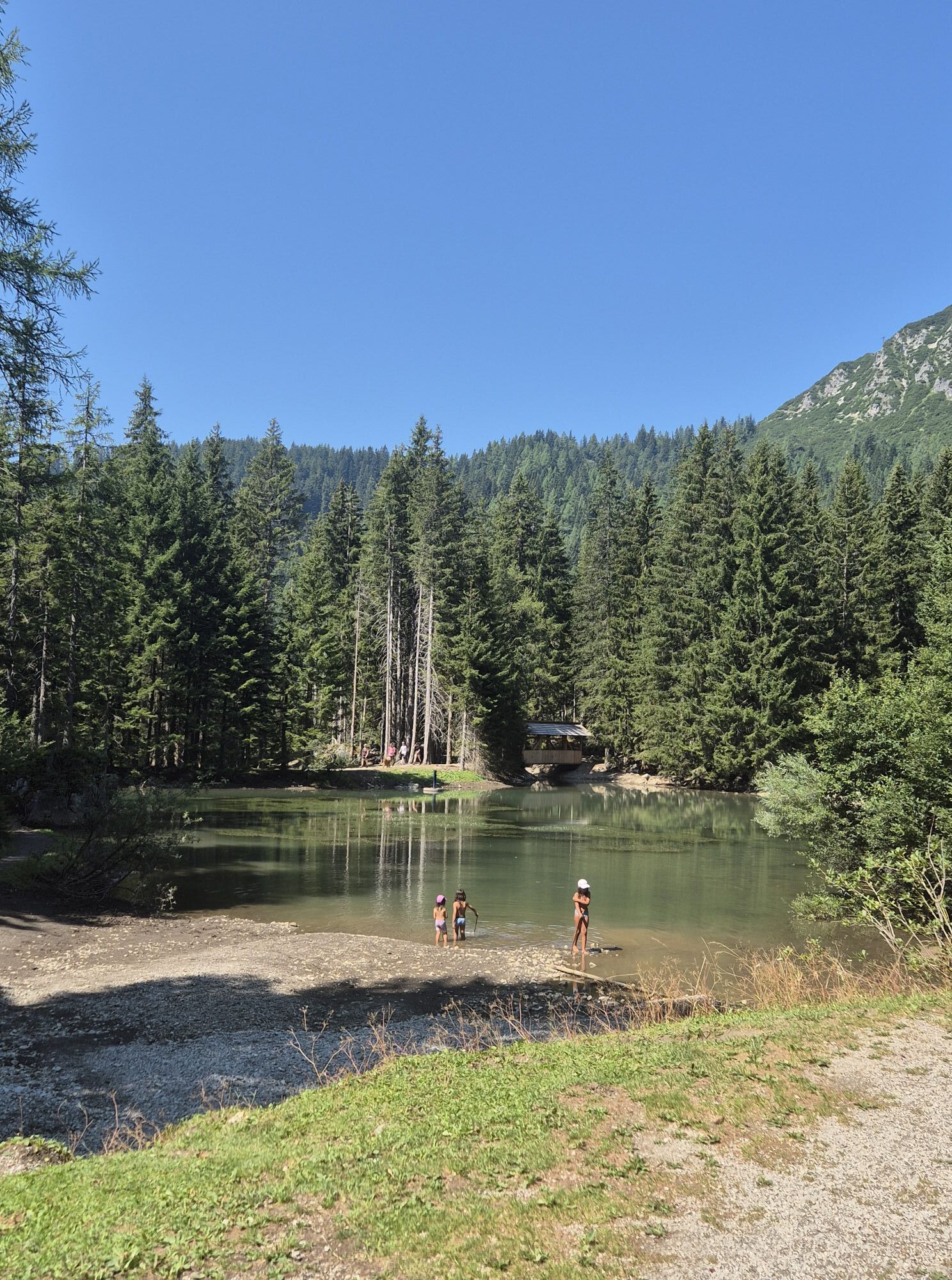
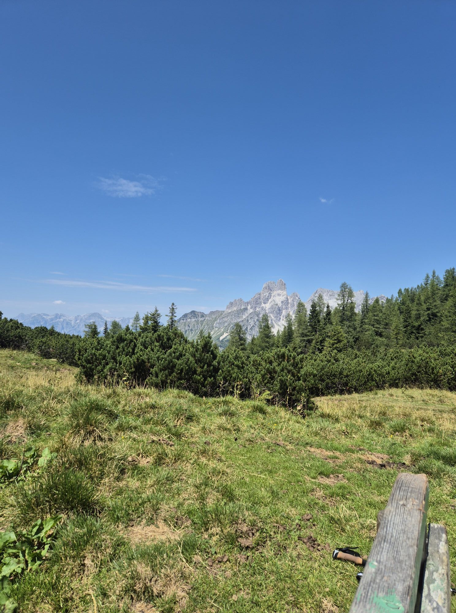
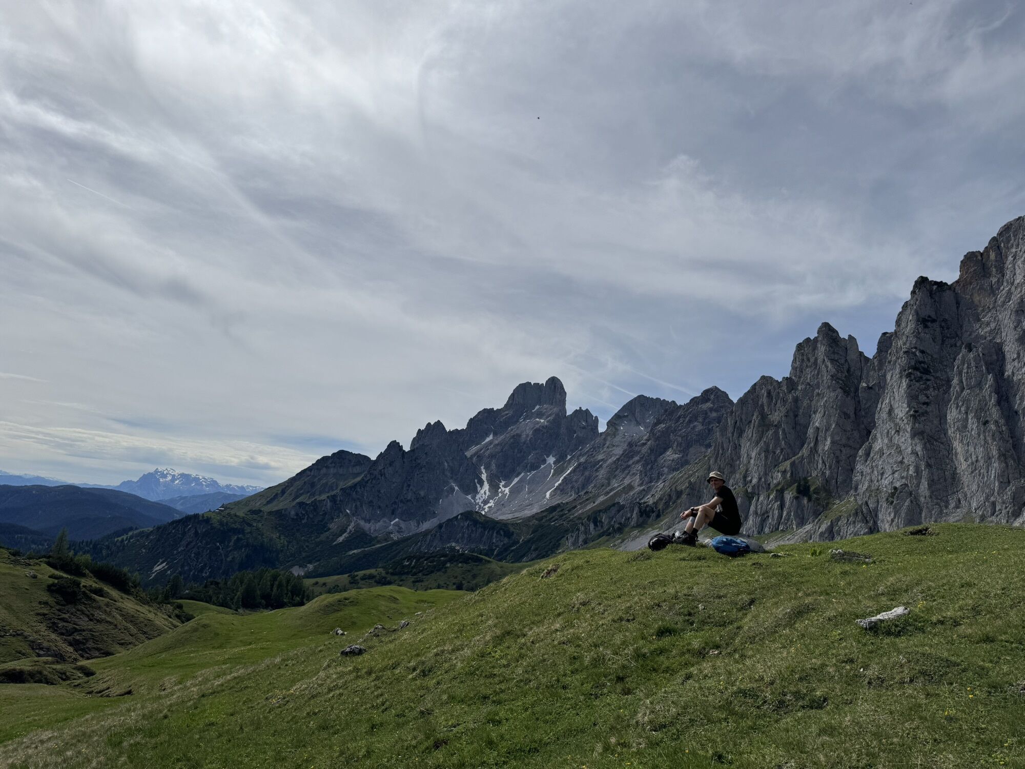
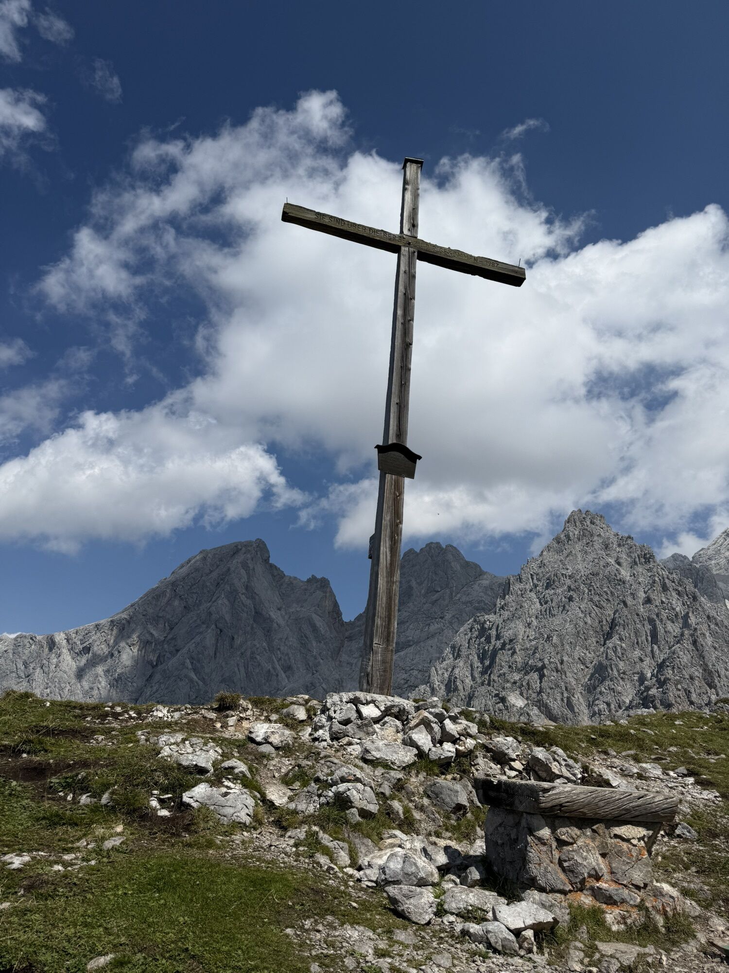
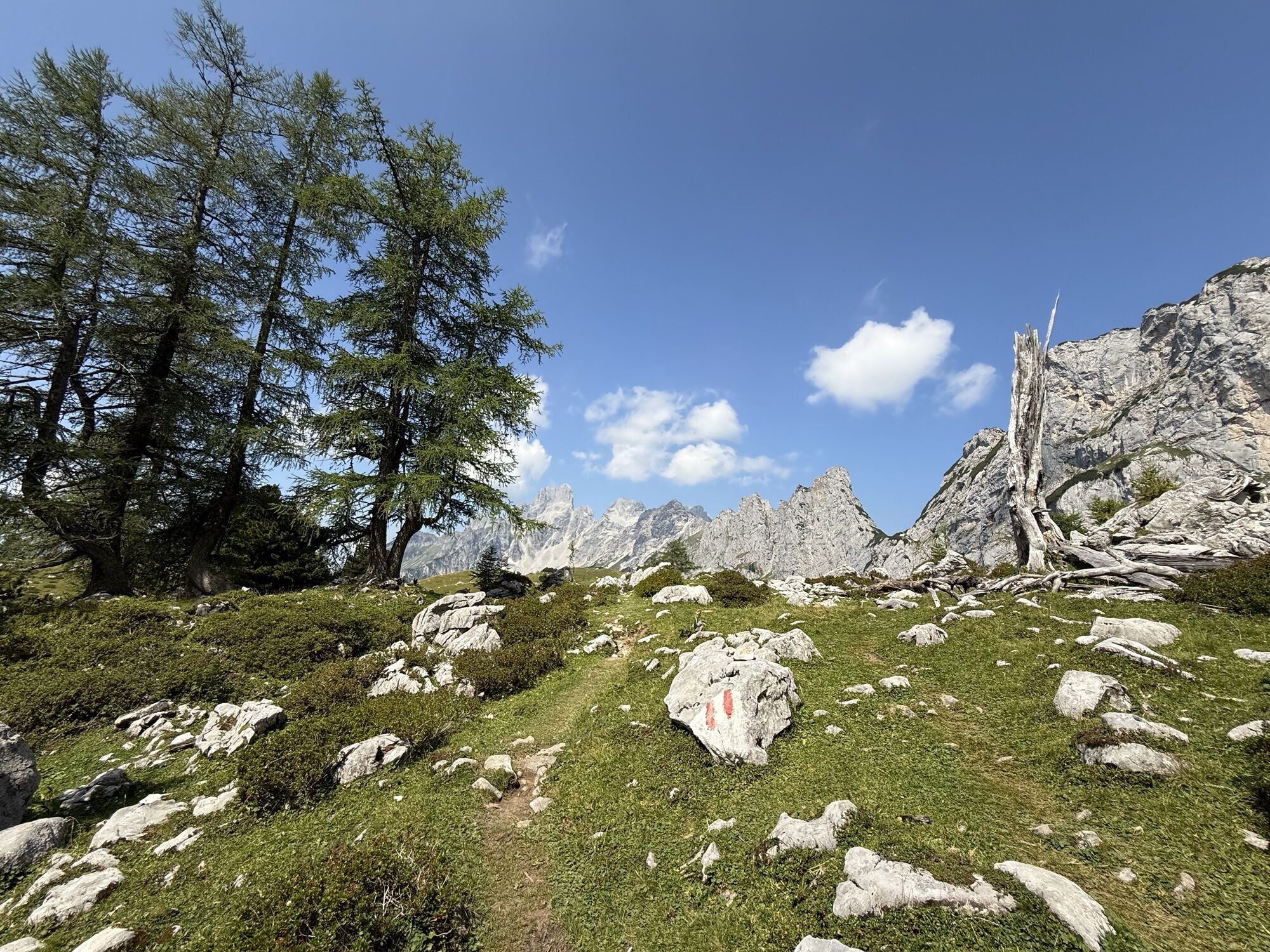
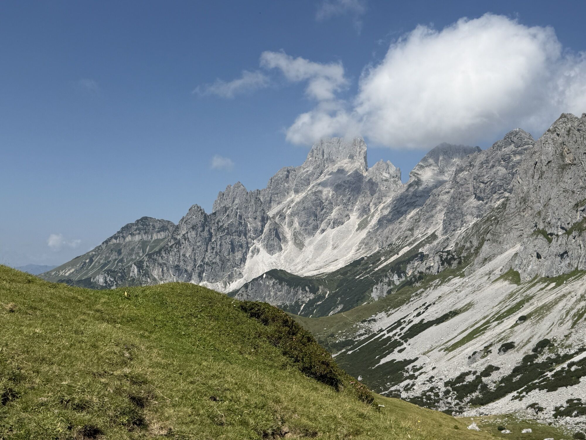
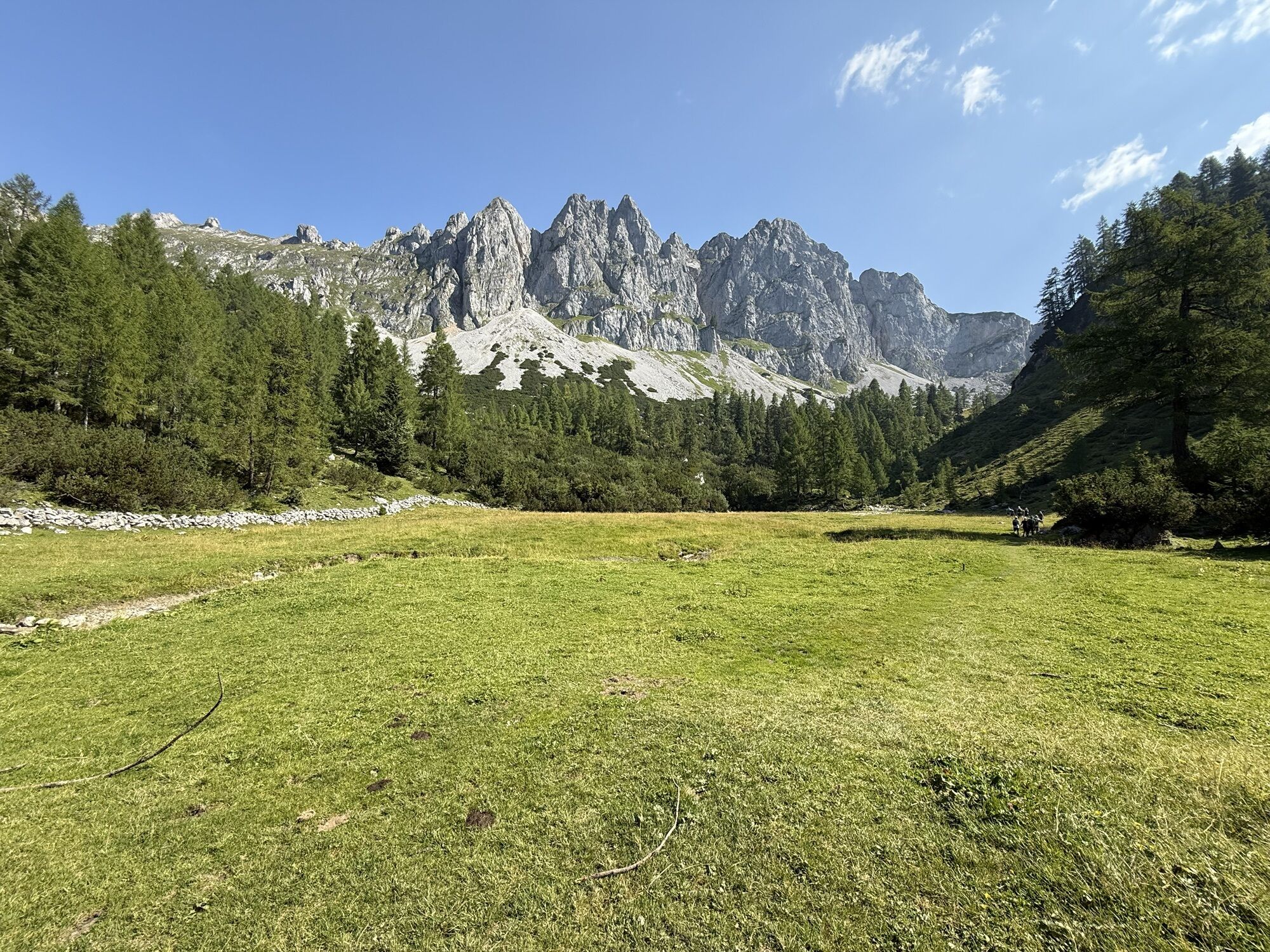
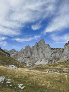
Depuis l'Oberhofalm, un sentier raide en lacets traverse une forêt d'épicéas jusqu'à Rinderfeld, un magnifique paysage d'alpage. À Rinderfeld, le chemin reste presque toujours à la même altitude en direction de Sulzenschneid, où l'on traverse la source de la Mandling chaude. Peu avant Sulzenschneid, le sentier passe entre les pins nains, avec une dernière montée raide. Depuis la croix sommitale, on profite d'une vue panoramique splendide sur Bischofsmütze, Hochkesselkopf, Torstein, Rötelstein et Hochkönig. Ensuite, on descend par Sulzenhals jusqu'aux alpages Sulzen (les chalets Wallehen et Krahlehen sont en exploitation). Depuis les alpages Sulzen, il faut environ 1 heure pour revenir à l'Oberhofalm.

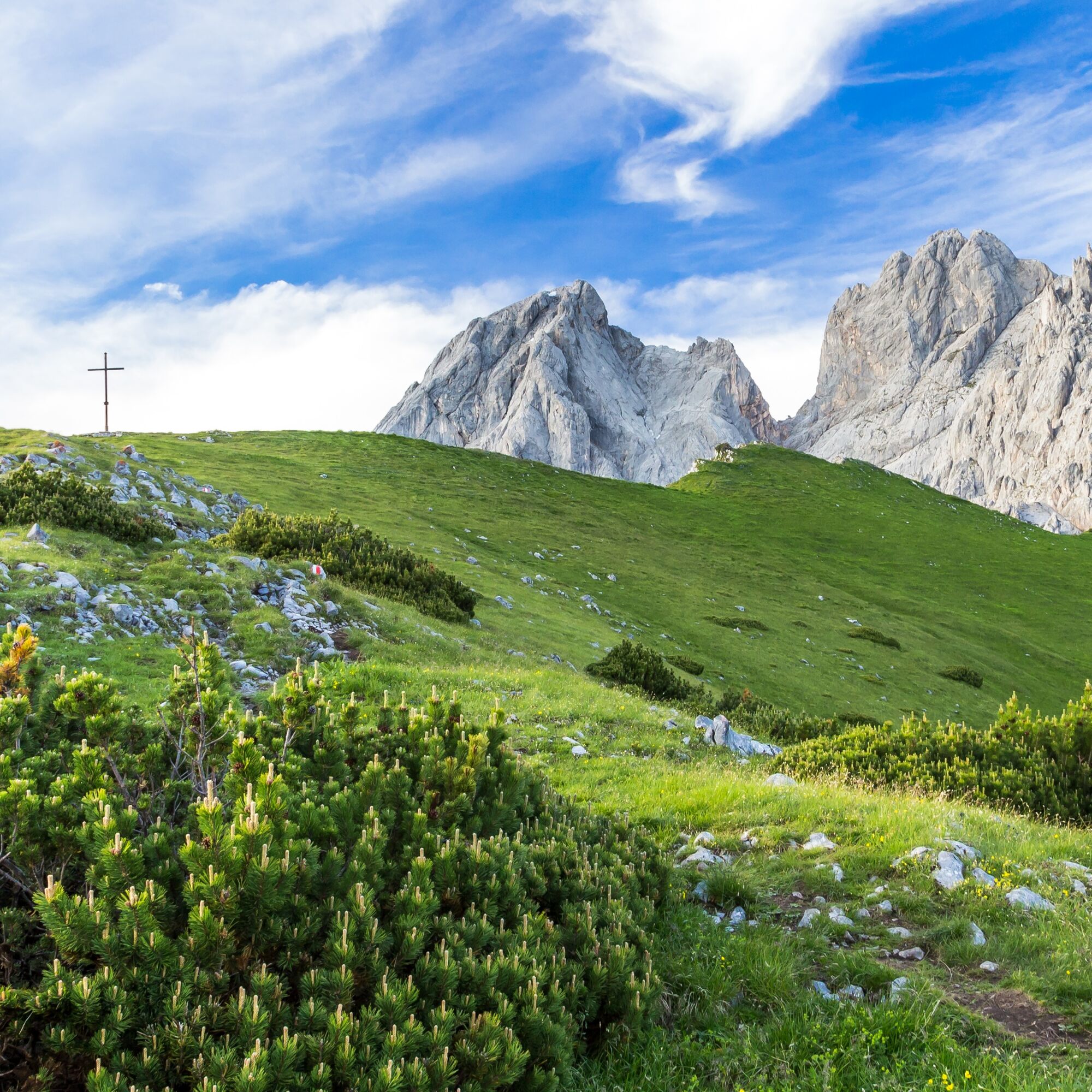
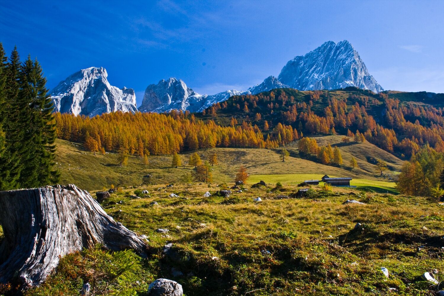
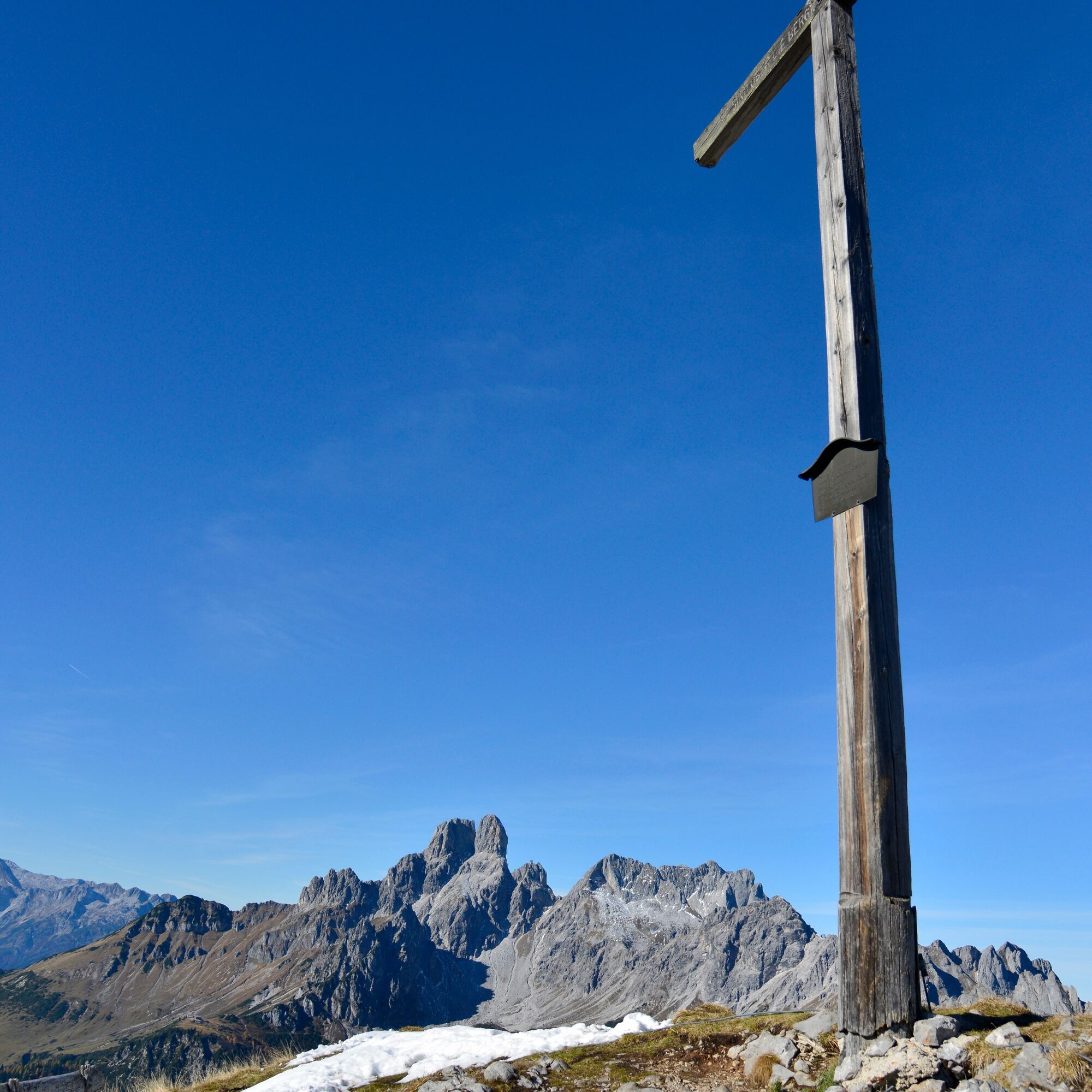

Depuis l'Oberhofalm, un sentier raide en lacets traverse une forêt d'épicéas jusqu'à Rinderfeld, un magnifique paysage d'alpage. À Rinderfeld, le chemin reste presque toujours à la même altitude en direction de Sulzenschneid, où l'on traverse la source de la Mandling chaude. Peu avant Sulzenschneid, le sentier passe entre les pins nains, avec une dernière montée raide. Depuis la croix sommitale, on profite d'une vue panoramique splendide sur Bischofsmütze, Hochkesselkopf, Torstein, Rötelstein et Hochkönig. Ensuite, on descend par Sulzenhals jusqu'aux alpages Sulzen (les chalets Wallehen et Krahlehen sont en exploitation). Depuis les alpages Sulzen, il faut environ 1 heure pour revenir à l'Oberhofalm.
Oui
Oui
In case of thunderstorms: Avoid summits, ridgelines, and fixed-rope sections at all costs.
A good backpack is helpful, and for routes in alpine terrain, a hat, gloves, a good jacket, and pants are essential basic equipment. Sturdy, waterproof footwear, sunglasses, sun protection, and plenty of fluids are also crucial. A flashlight, map material, knife, and a small first aid kit should always be part of your gear.
Available GPS data – like hiking maps – are only intended as orientation aids, as they can never fully represent the exact layout or detail of a trail in reality. Especially in potentially dangerous areas, it is essential to make decisions based on the actual conditions on site regarding whether and how to proceed.
In case of emergency, please call:
140 – for alpine emergencies – valid throughout Austria 112 – European emergency number / GSM emergency serviceComing from Ramsau am Dachstein:
At the roundabout, take the exit towards Neuberg – shortly after the gas station, turn left. There is a public paid parking lot opposite the gas station. Roundabout - take the exit towards Hofalmen -just before the toll station there is a parking lot (beware of grazing cattle).By Bus or Taxi: From Eben im Pongau or Radstadt, take bus line 521 directly to Filzmoos (approx. 20–30 minutes). Taxis are also available at the station if you prefer a direct ride.Tip: Buses are not very frequent, so it's best to check the schedule in advance at www.oebb.at
With the Fidibus Summer: From Hotel Neubergerhof, the Fidibus Summer (hiking bus) takes you from Neuberg to Filzmoos, stopping at the “Ortsmitte” (village center) bus stop. Click here for the timetable.
There is a public paid parking lot opposite the gas station.
Free parking is available before the Hofalm toll station from 1st June to 30th September (please note: grazing livestock in the area). Outside this period, parking is subject to a fee.
T2
Start early and take a break at the summit cross – on a clear day, enjoy the impressive panoramic views of the surrounding peaks.


 Obtenez un aperçu
Toujours en direct avec plus de 9.500 webcams. En tant qu'utilisateur Pro, vous pouvez désormais voir les webcams correspondantes à de nombreuses randonnées dans l'application de randonnées de bergfex. Vous pouvez ainsi voir directement les conditions actuelles.
Obtenez un aperçu
Toujours en direct avec plus de 9.500 webcams. En tant qu'utilisateur Pro, vous pouvez désormais voir les webcams correspondantes à de nombreuses randonnées dans l'application de randonnées de bergfex. Vous pouvez ainsi voir directement les conditions actuelles.
Activités le long du parcours


Parcours populaires à proximité
-
4,5
Ramsau am Dachstein: Steinerne Jungfrauen
Randonnée 8,11 km -
4,3
Heilbronner Rundwanderweg
facileRandonnée 9,04 km -
4,3
Filzmoos: Rötelstein (Rettenstein)
Randonnée 9,50 km -
4,9
Autour du Gosaukamm
moyenRandonnée 20,9 km -
3,8
Ostuferwanderweg
facileRandonnée 16,2 km -
4,8
4-Jahreszeiten Wanderweg
moyenRandonnées d'hiver 5,94 km -
4,7
Tor-Wanderung
difficileRandonnée 14,2 km -
4,7
Autour du lac Gosau
facileRandonnée 4,43 km -
4,6
Adamekhütte vom Vorderen Gosausee
moyenRandonnée 23,2 km -
4,8
Ramsau am Dachstein: Bergstation Dachstein-Seilbahn - Guttenberghaus - Ramsau
moyenRandonnée 14,4 km
Randonnée et suivi


Ne manquez pas les offres et l'inspiration pour vos prochaines vacances
Votre adresse électronique a été ajouté à la liste de diffusion.





