







Gr. Gurpitscheck
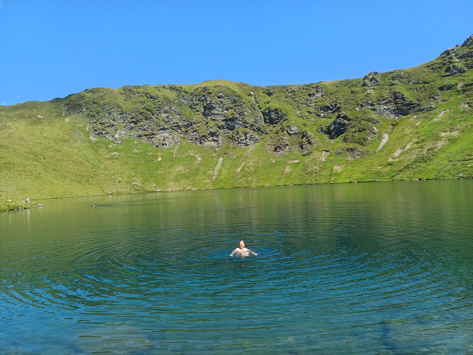
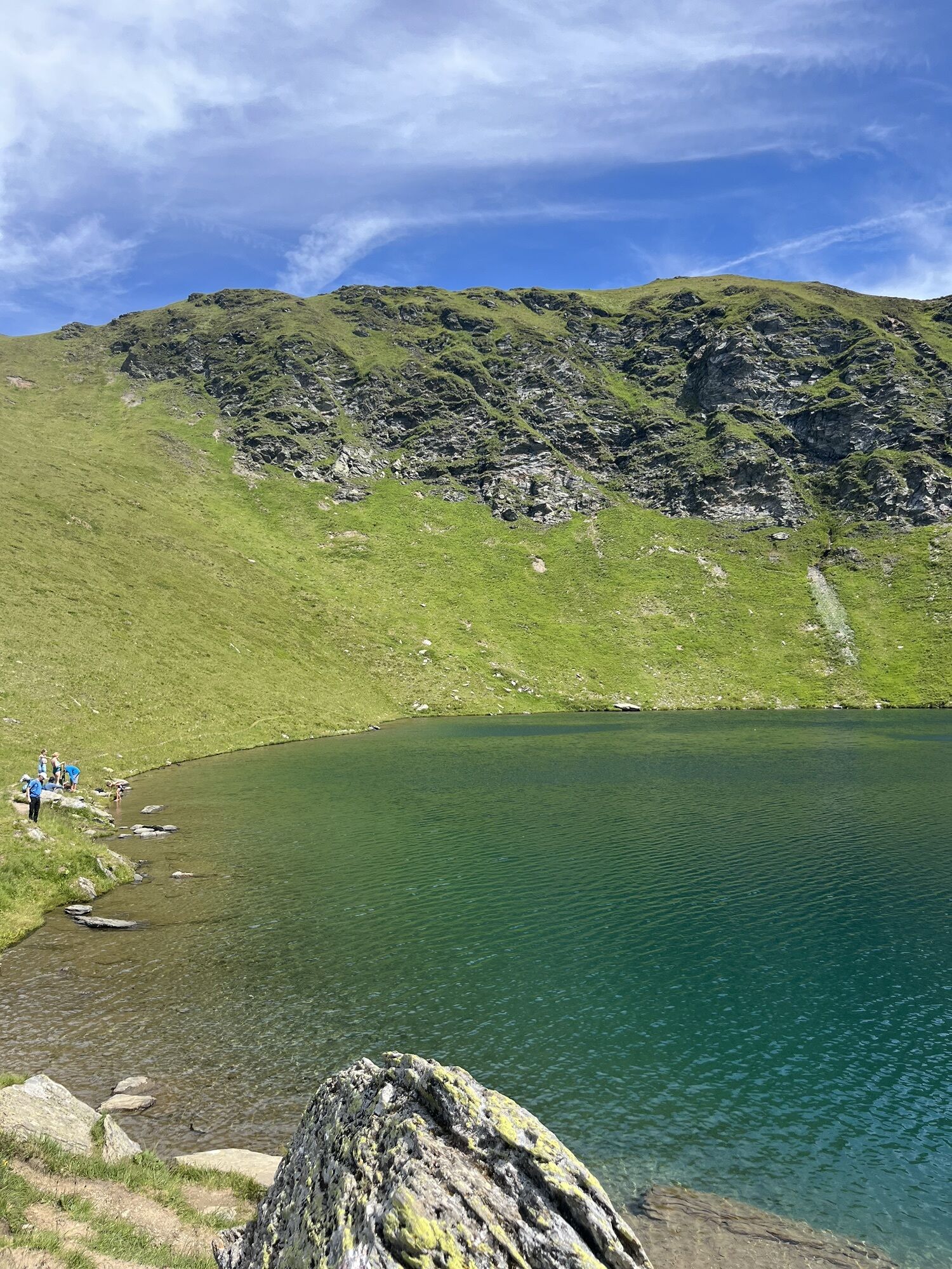
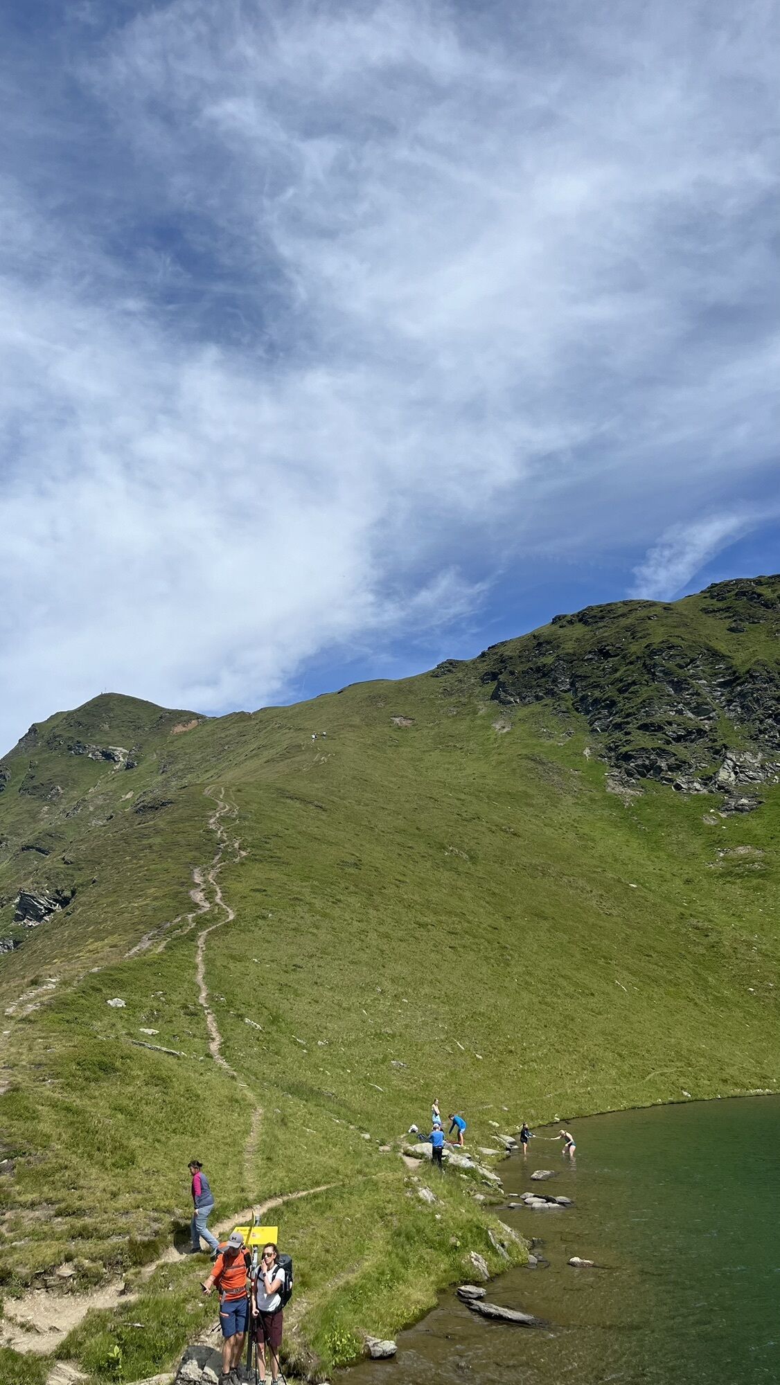
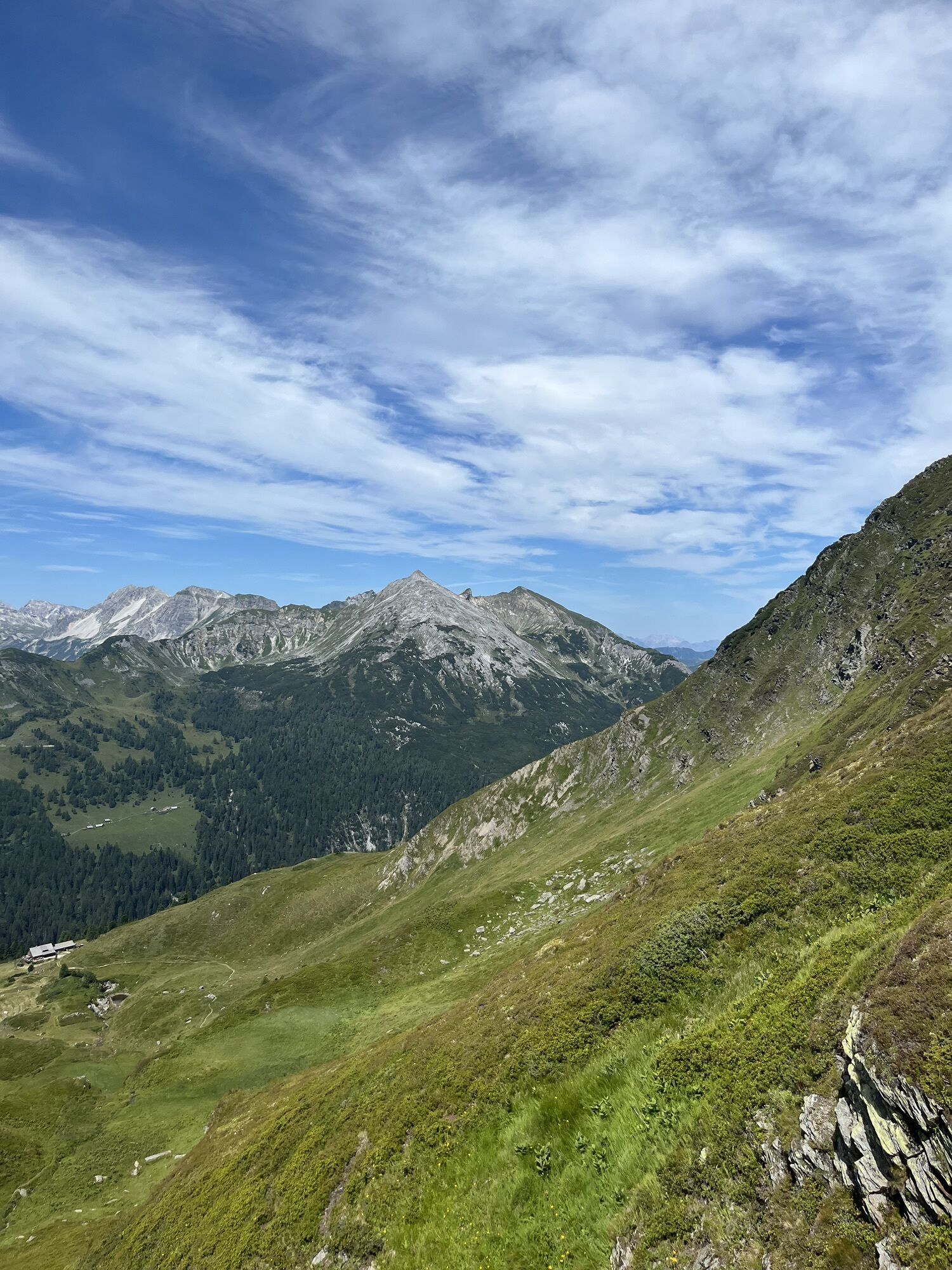
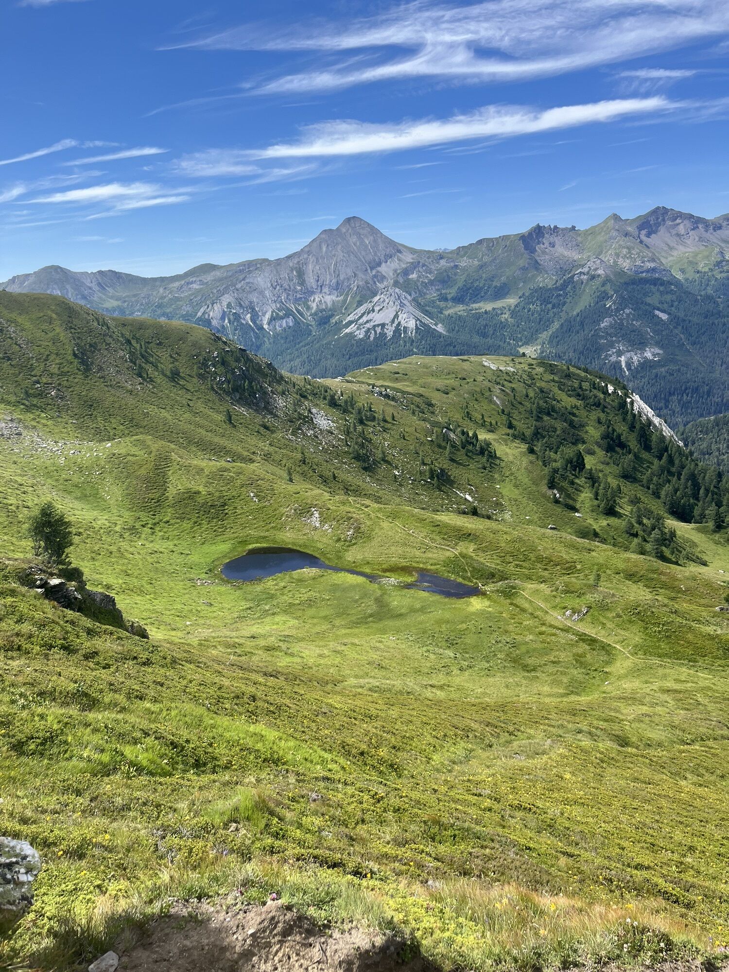
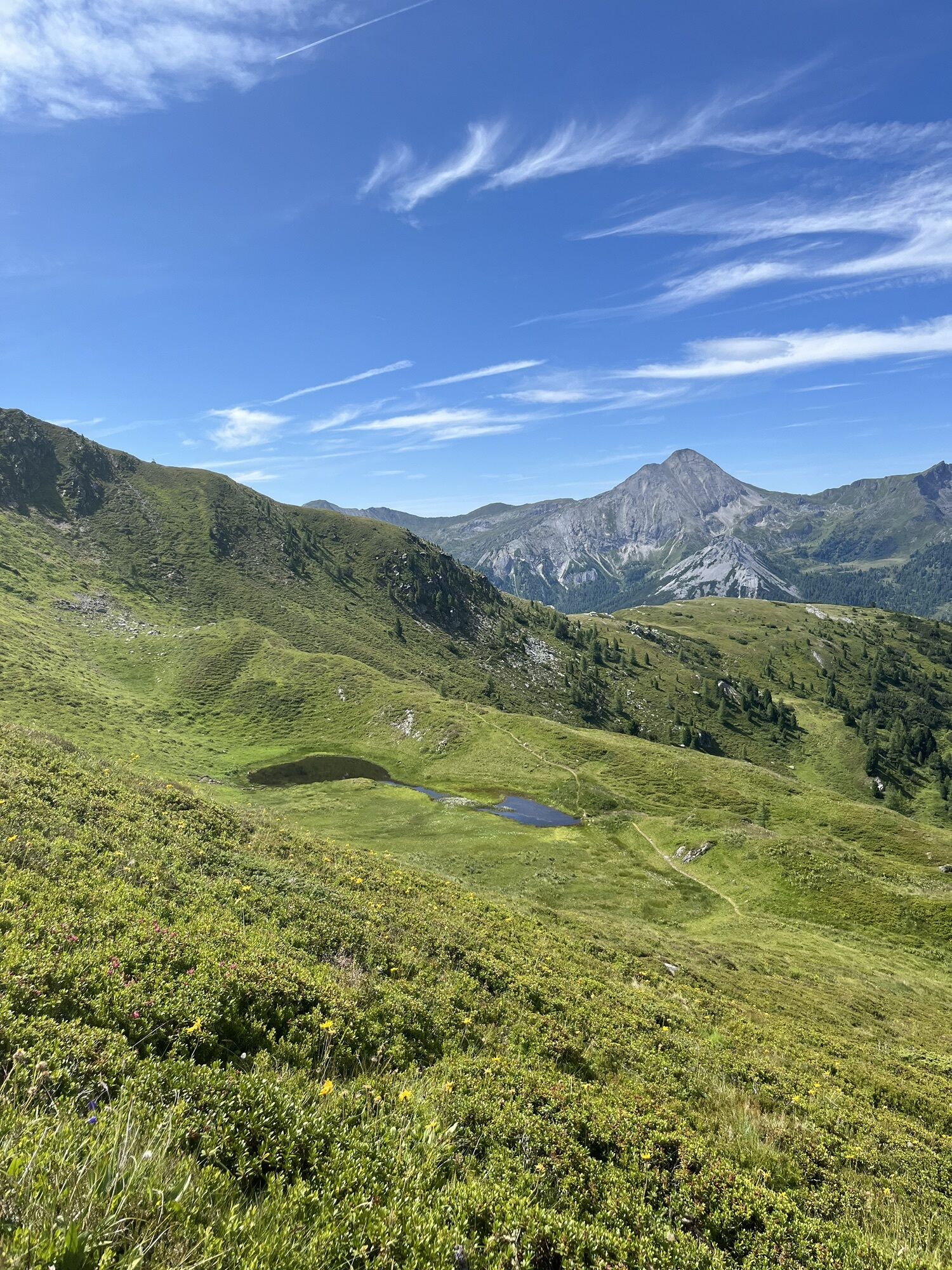
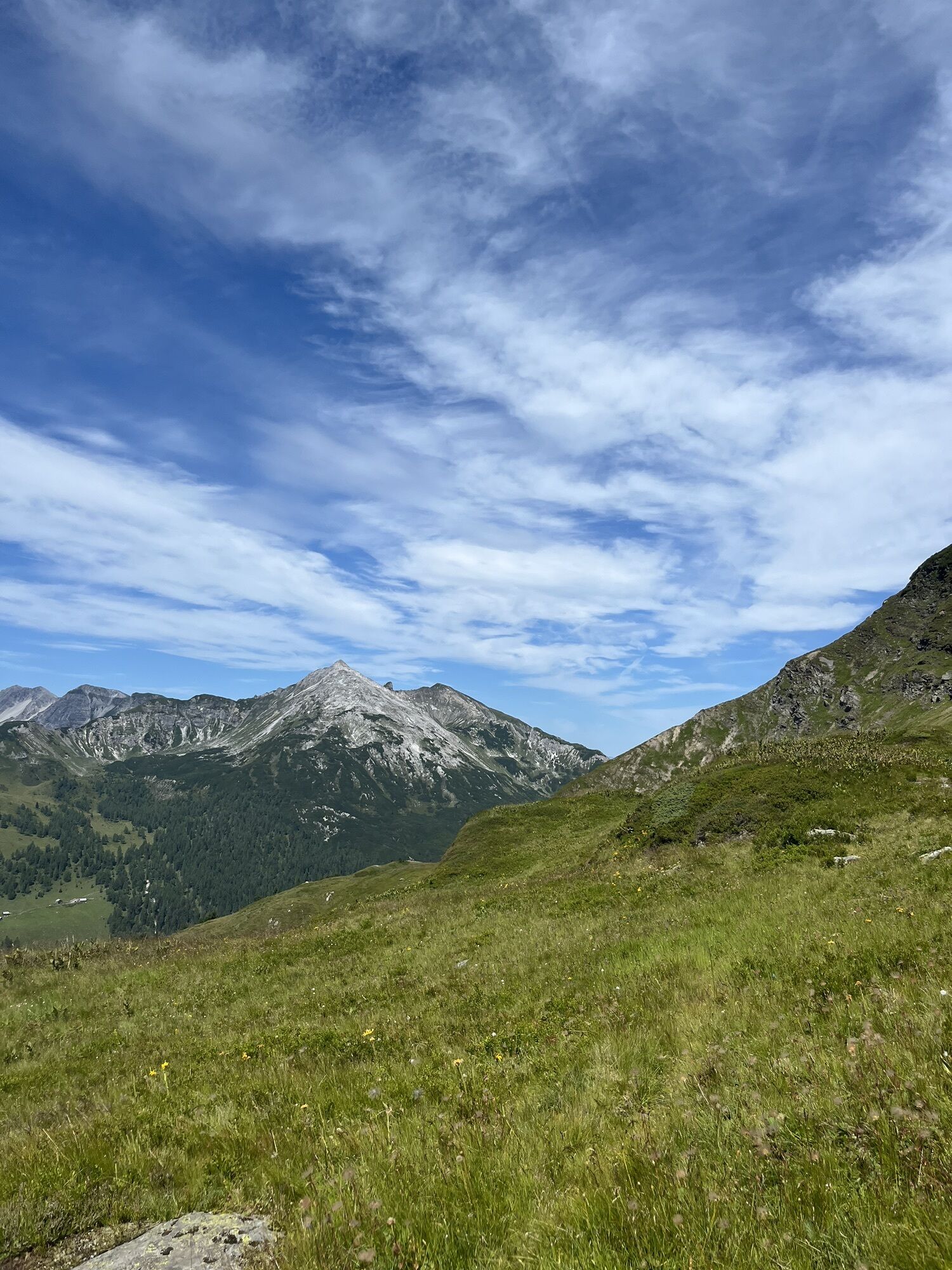
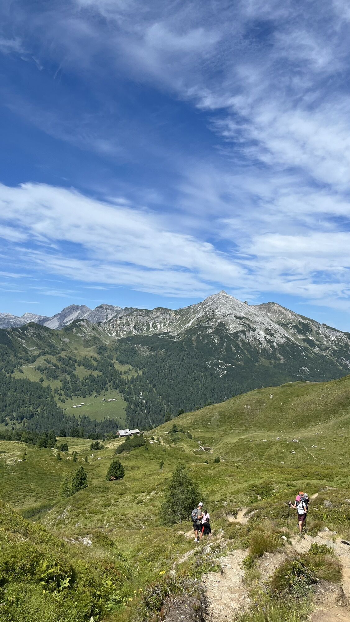
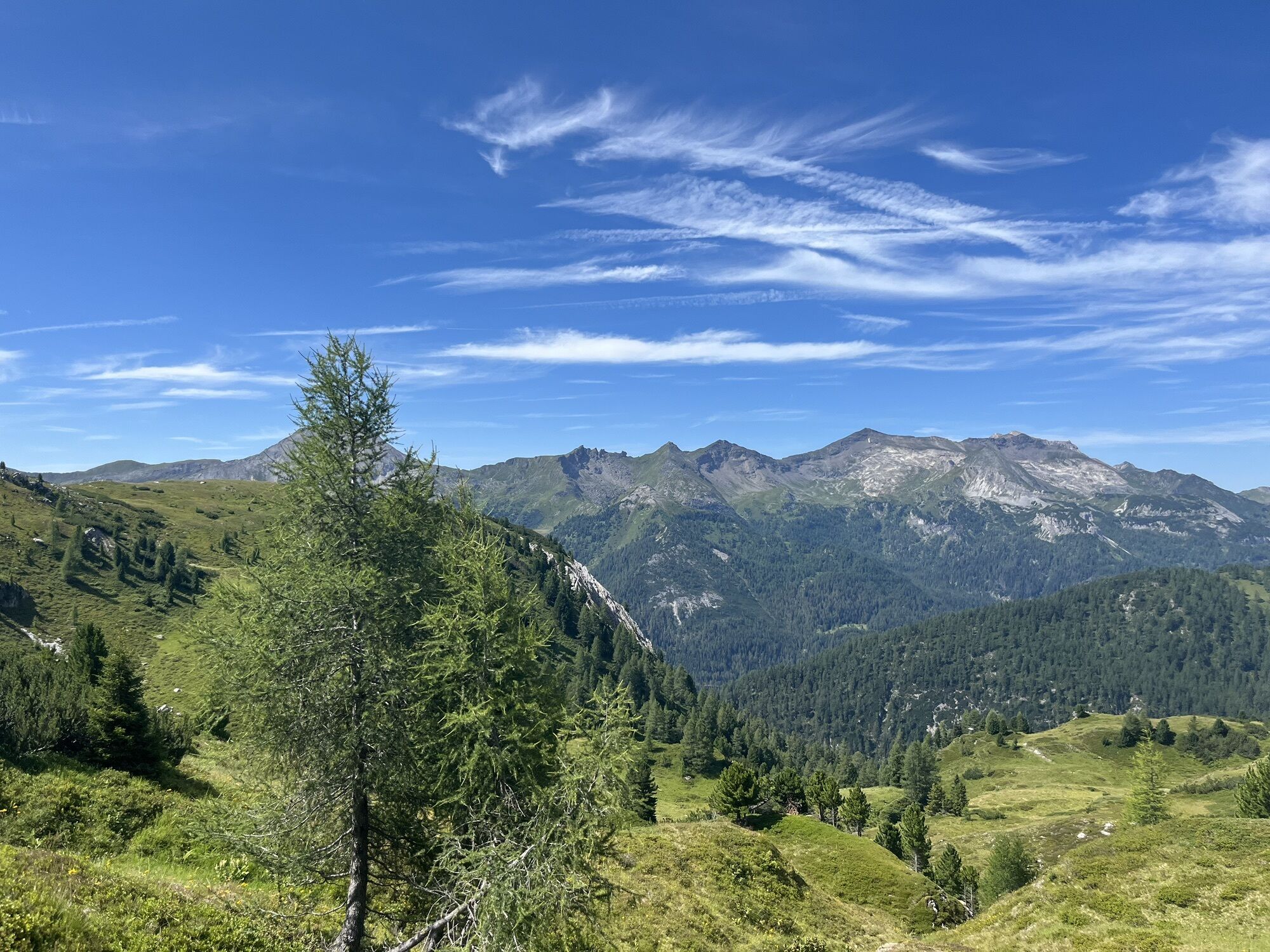
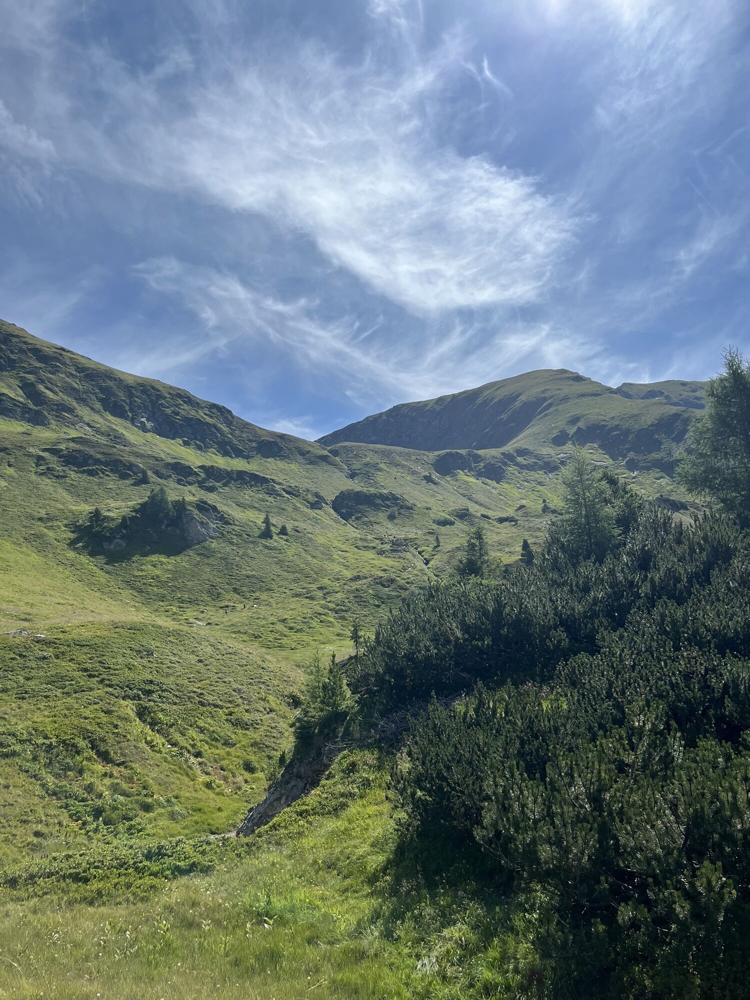
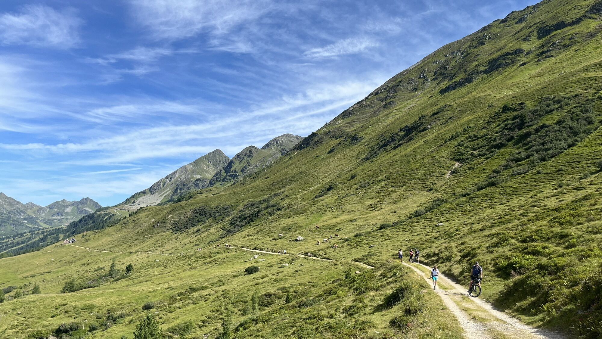
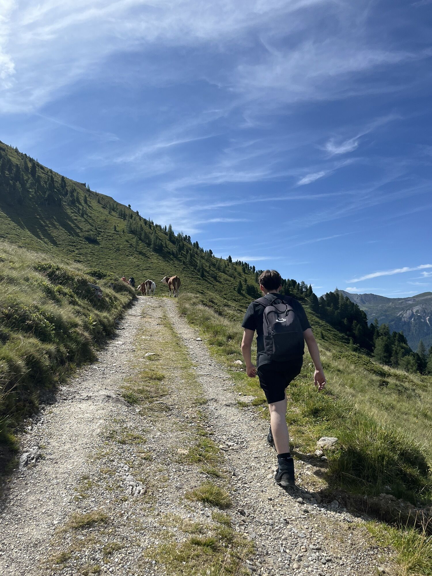
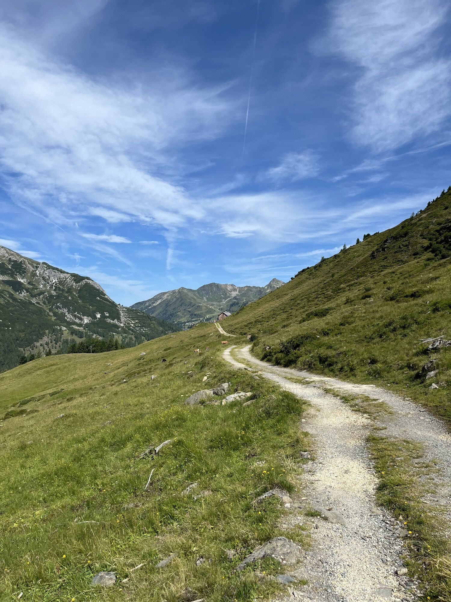
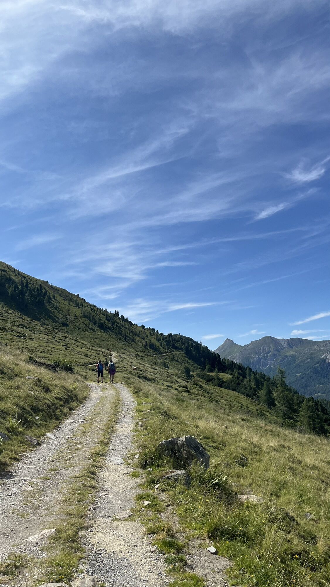
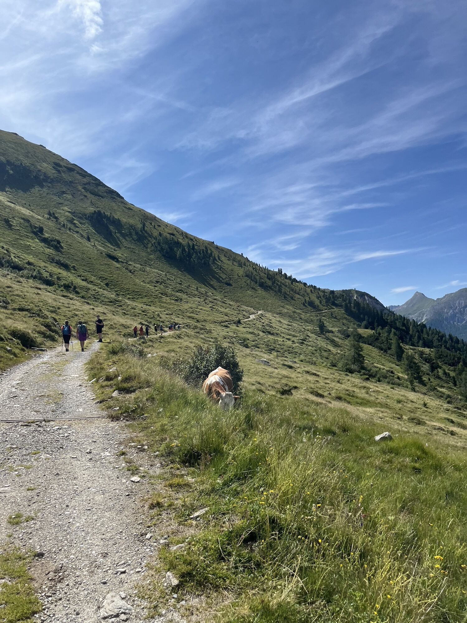
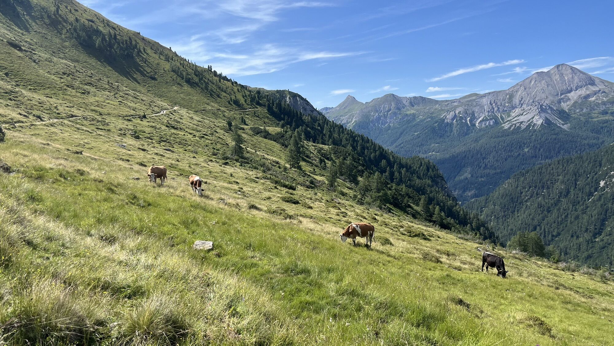
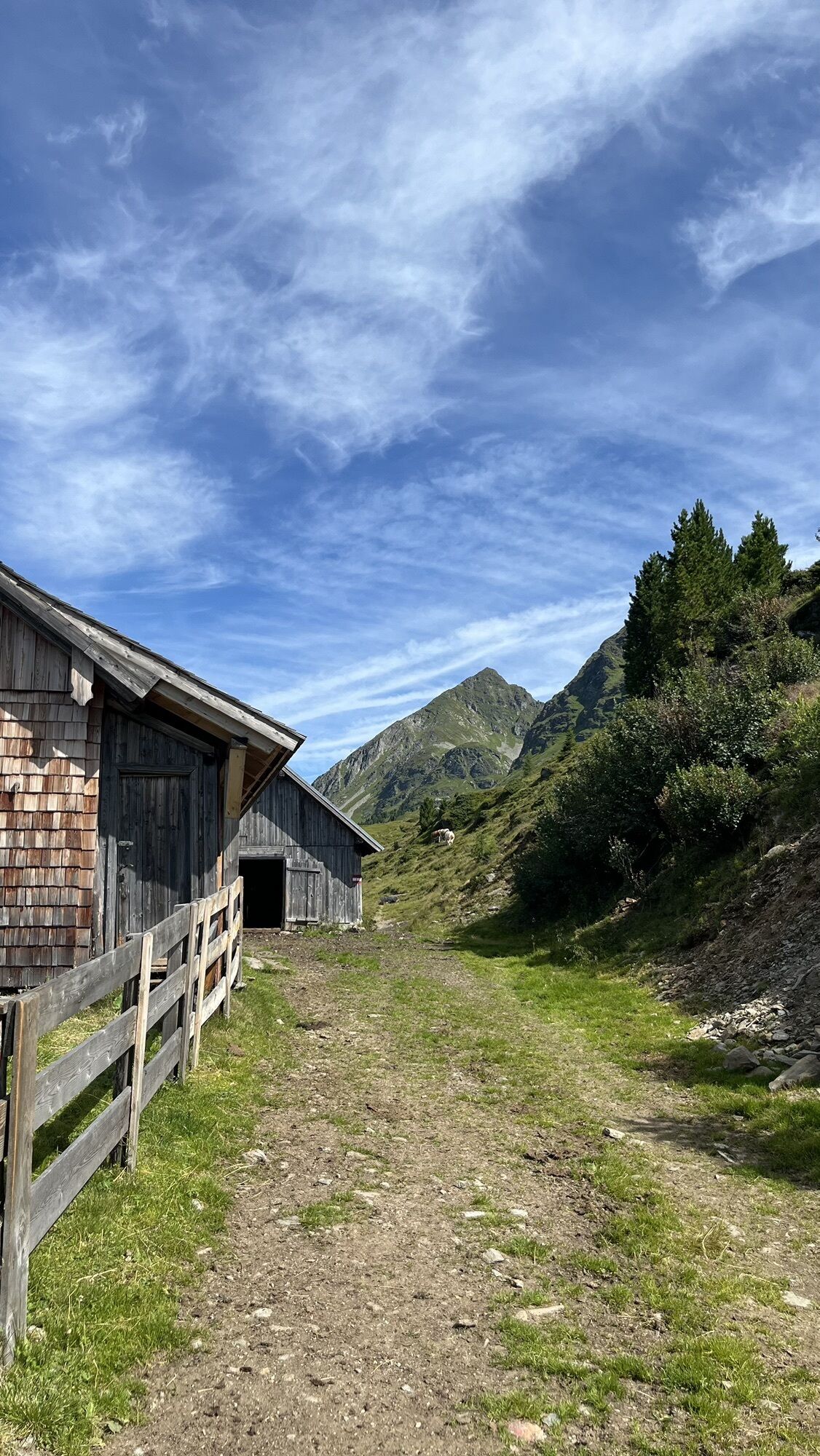
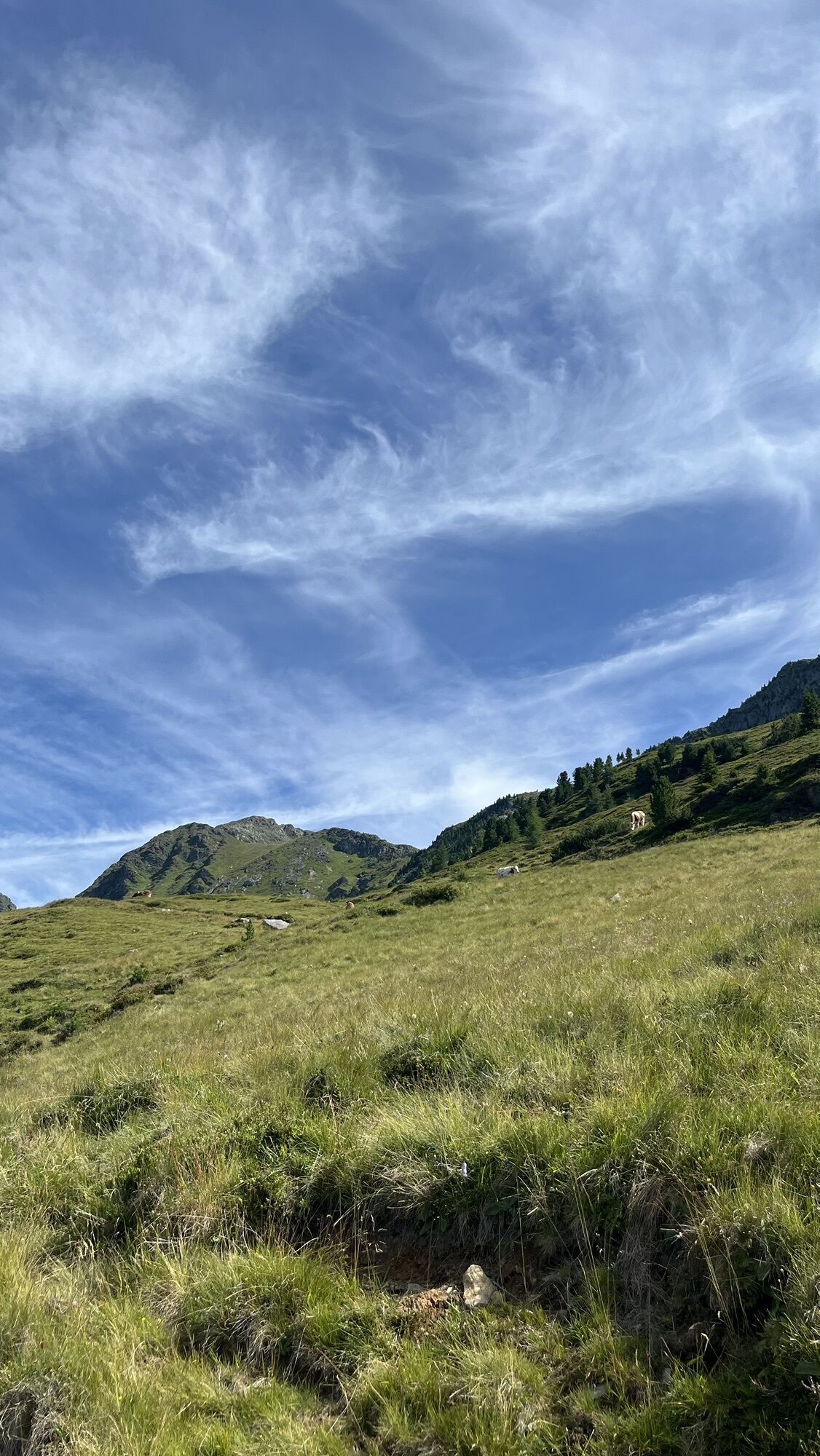
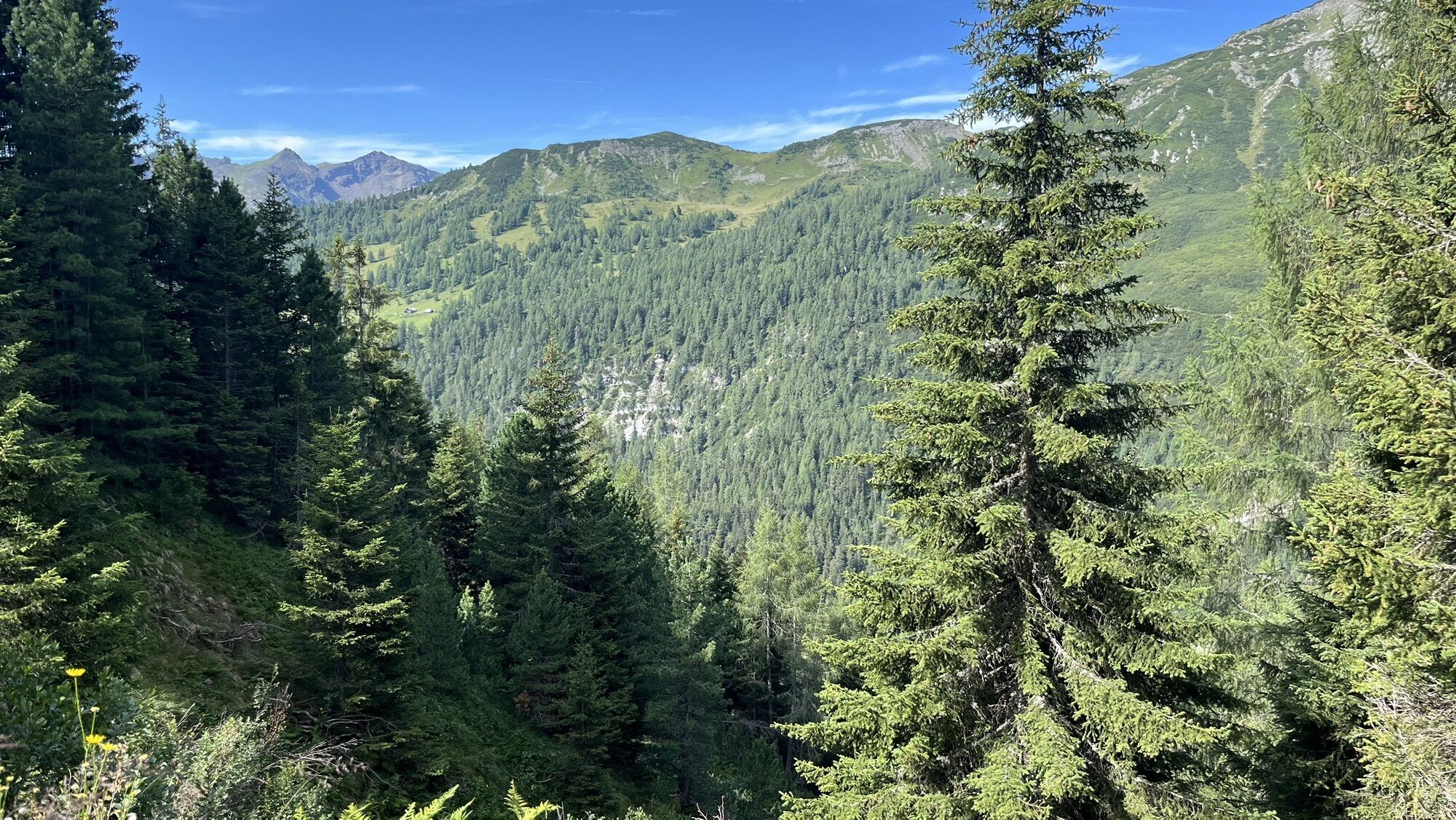
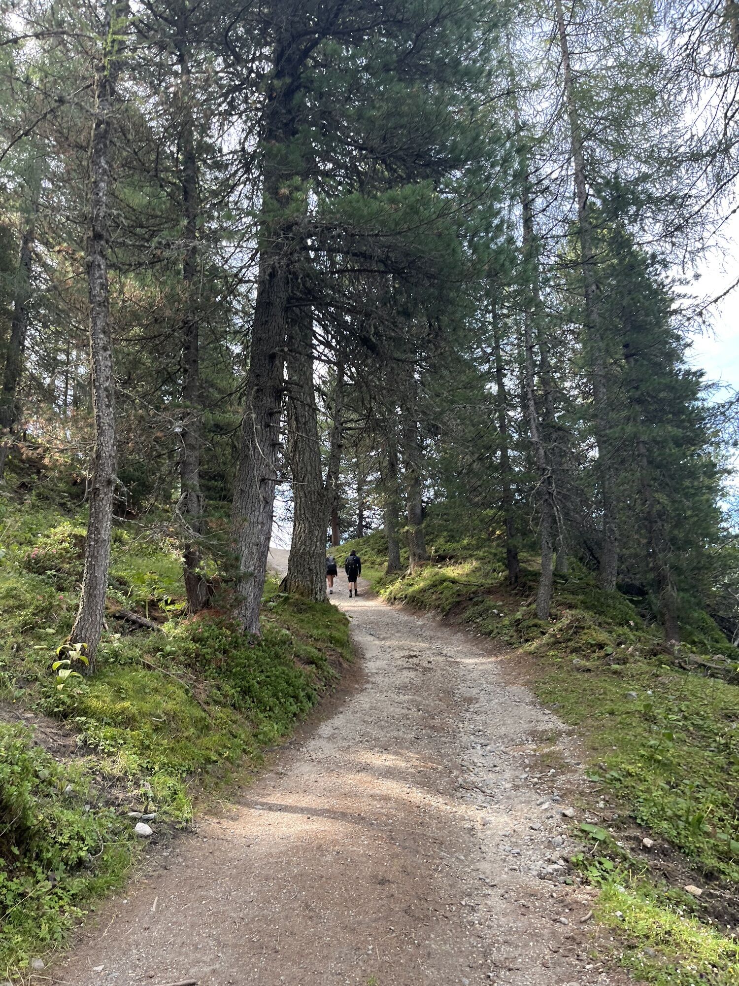
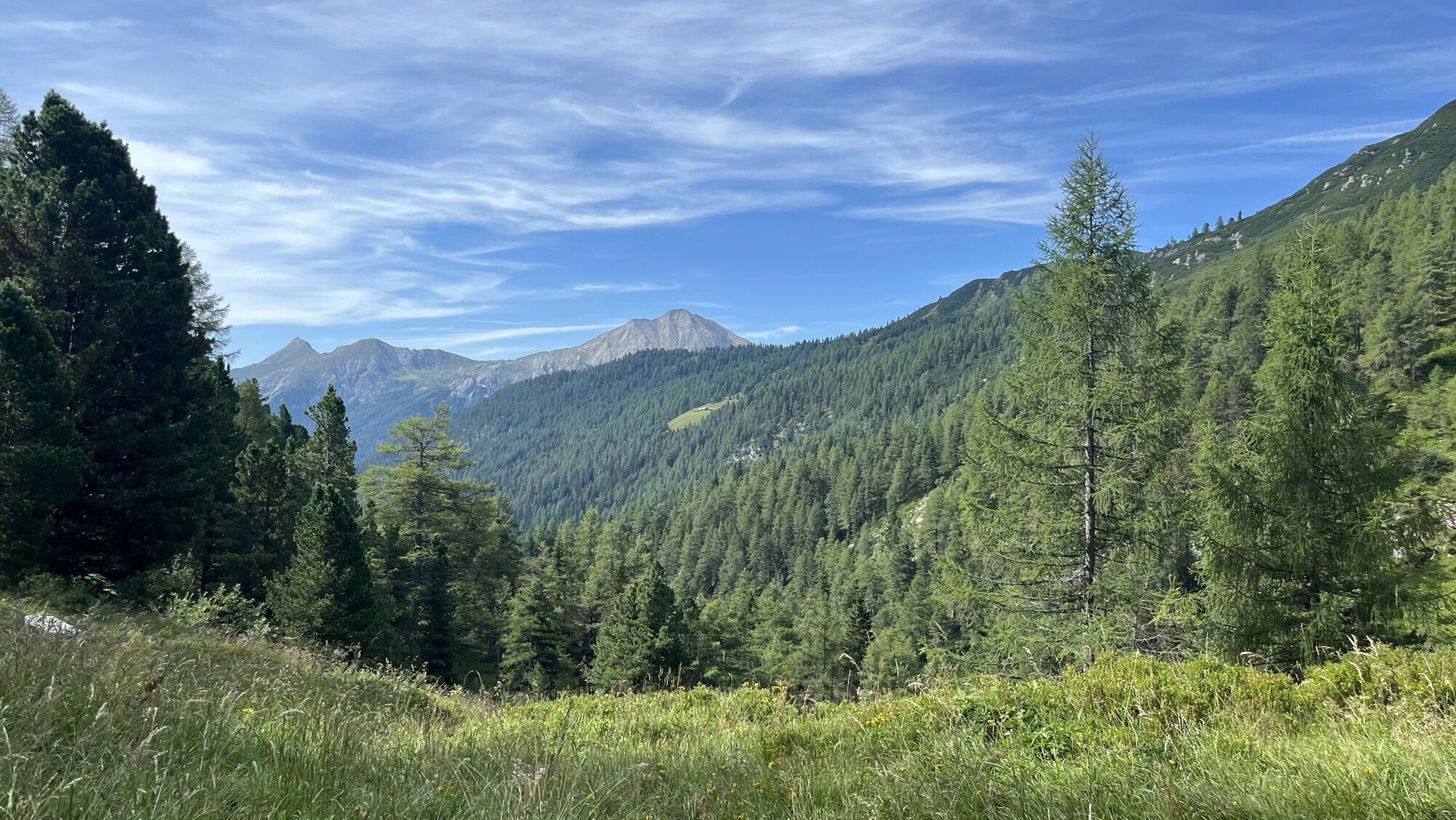
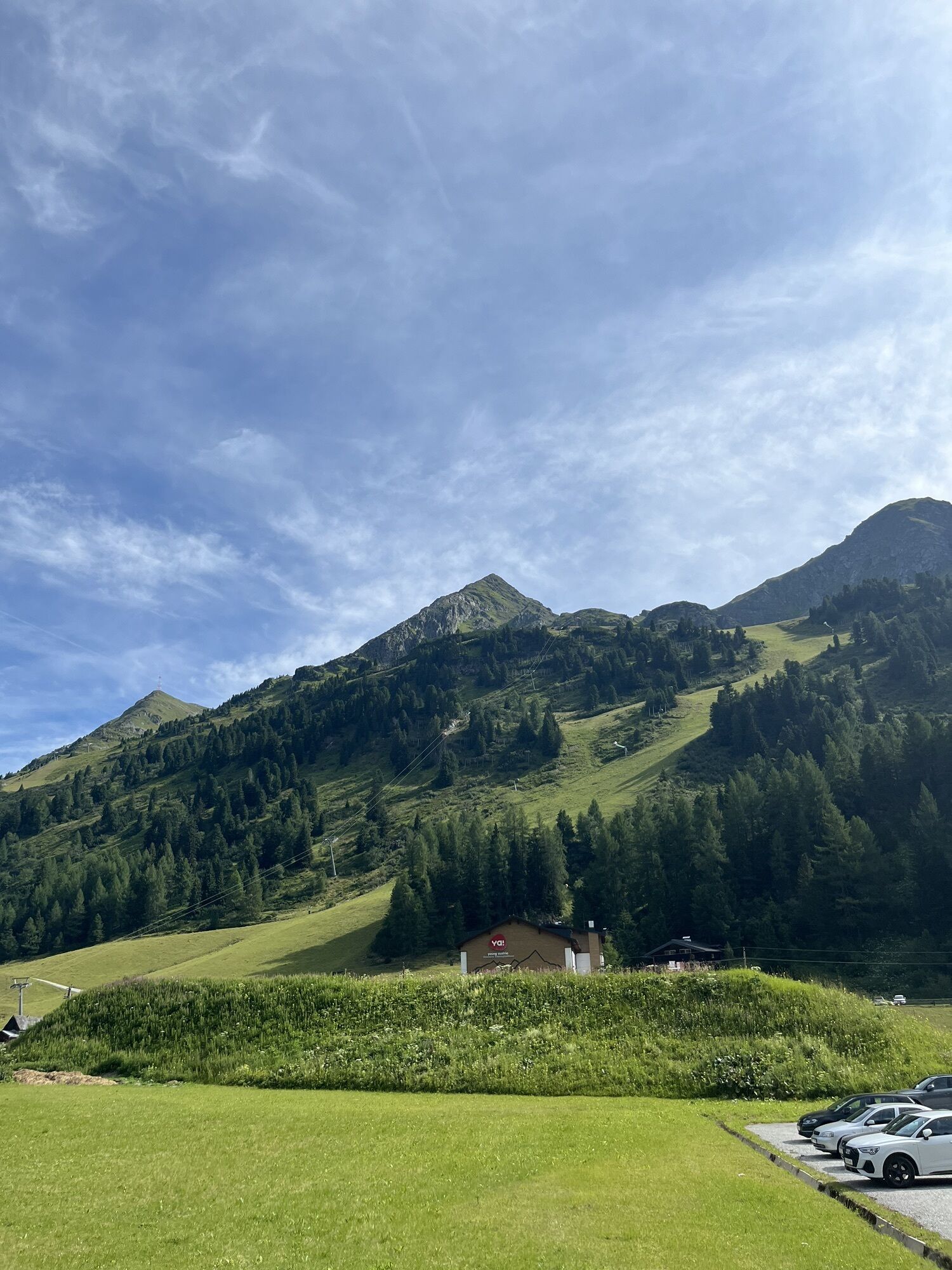
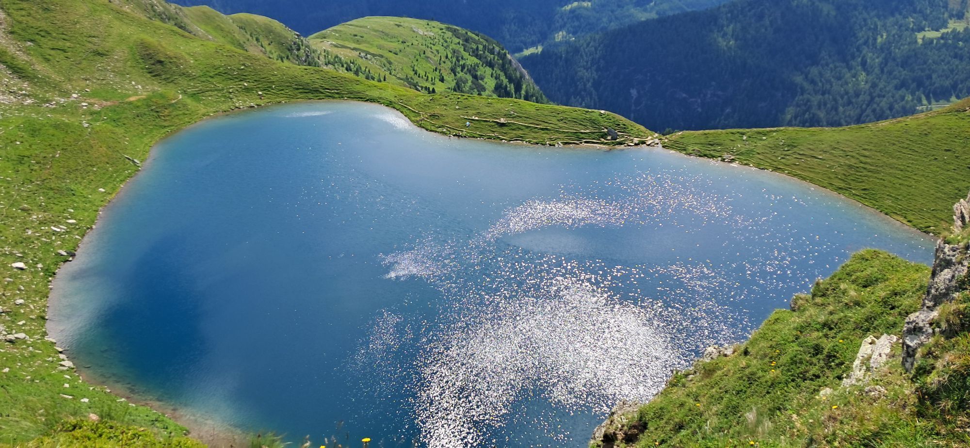
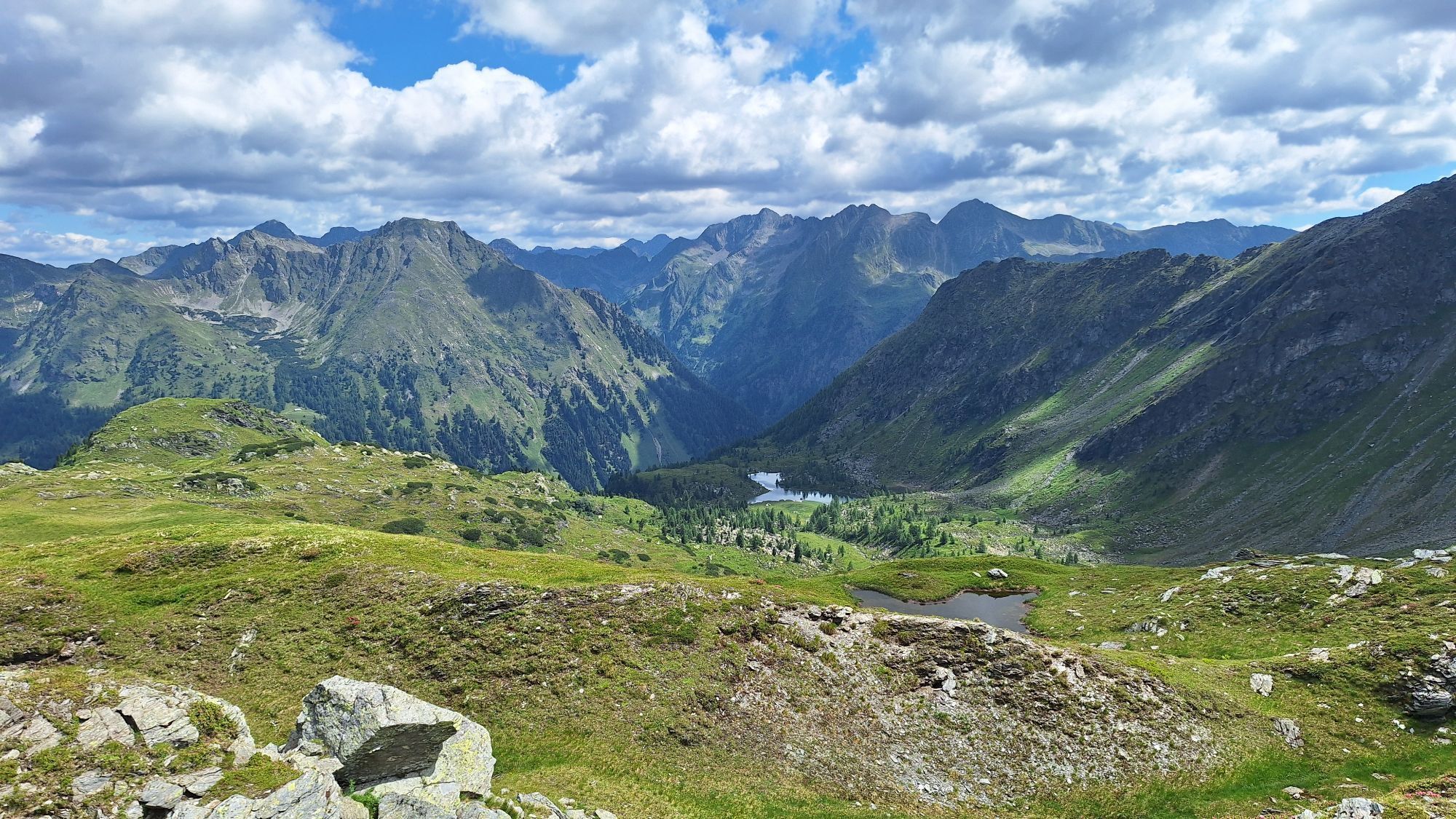
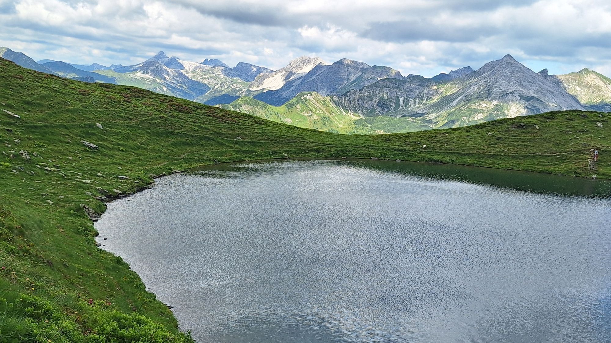
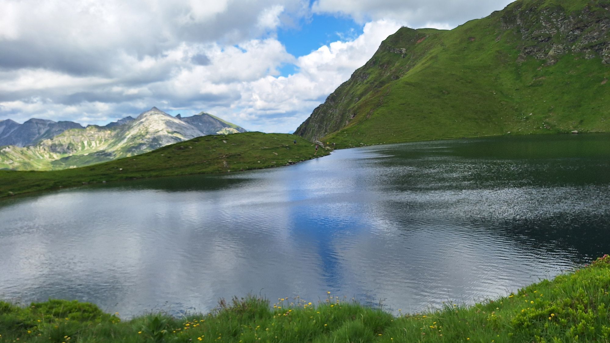
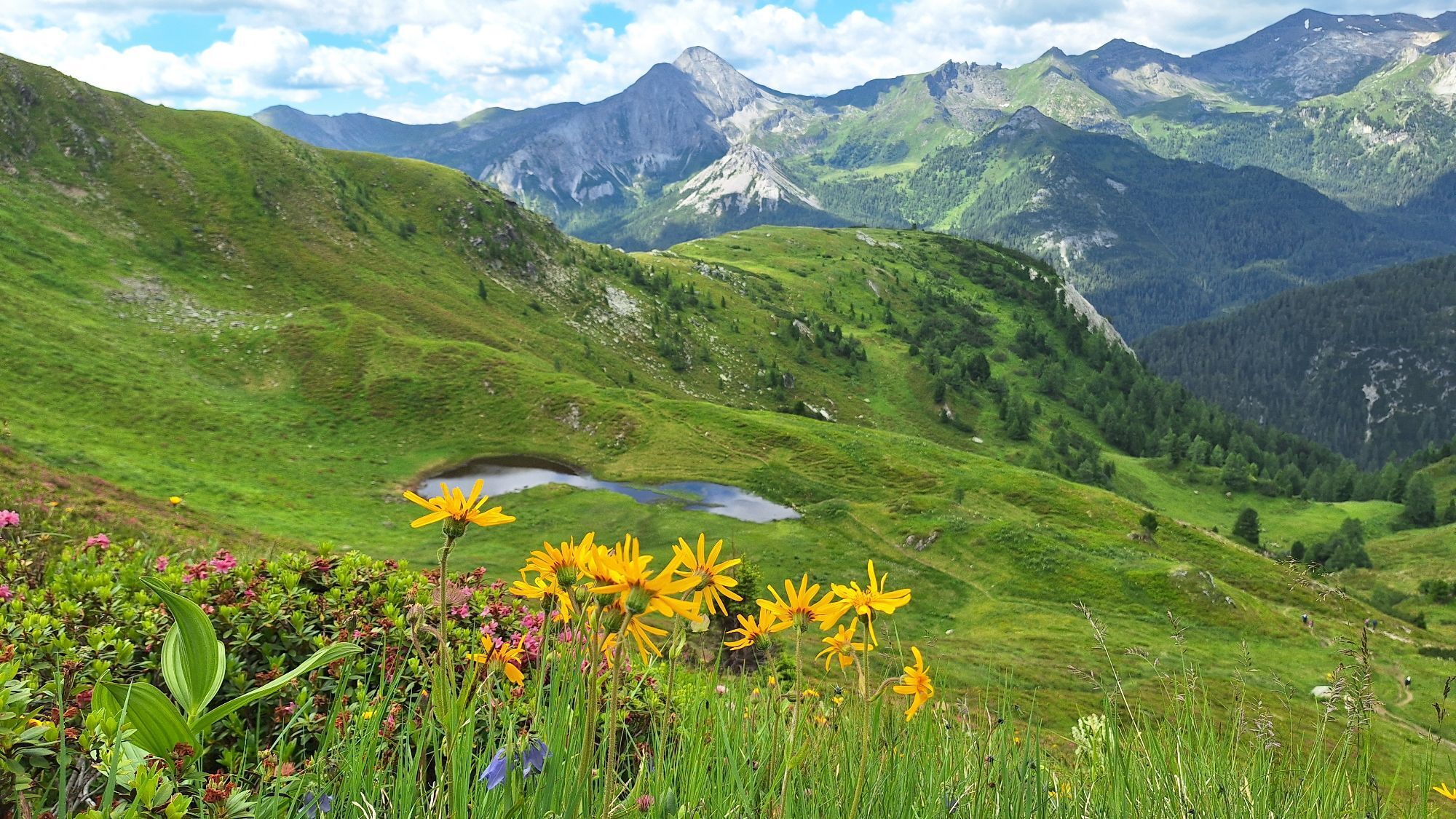
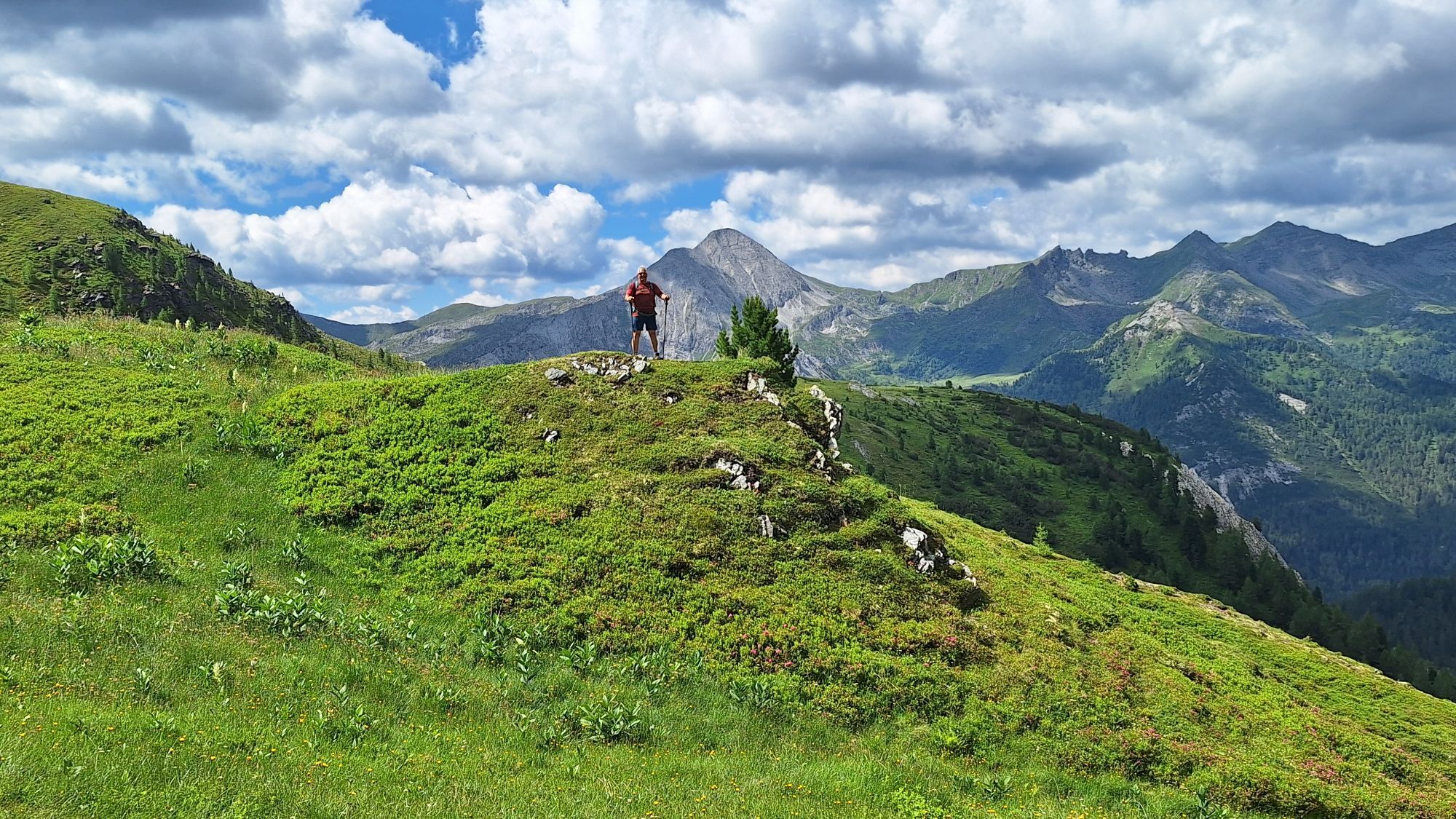
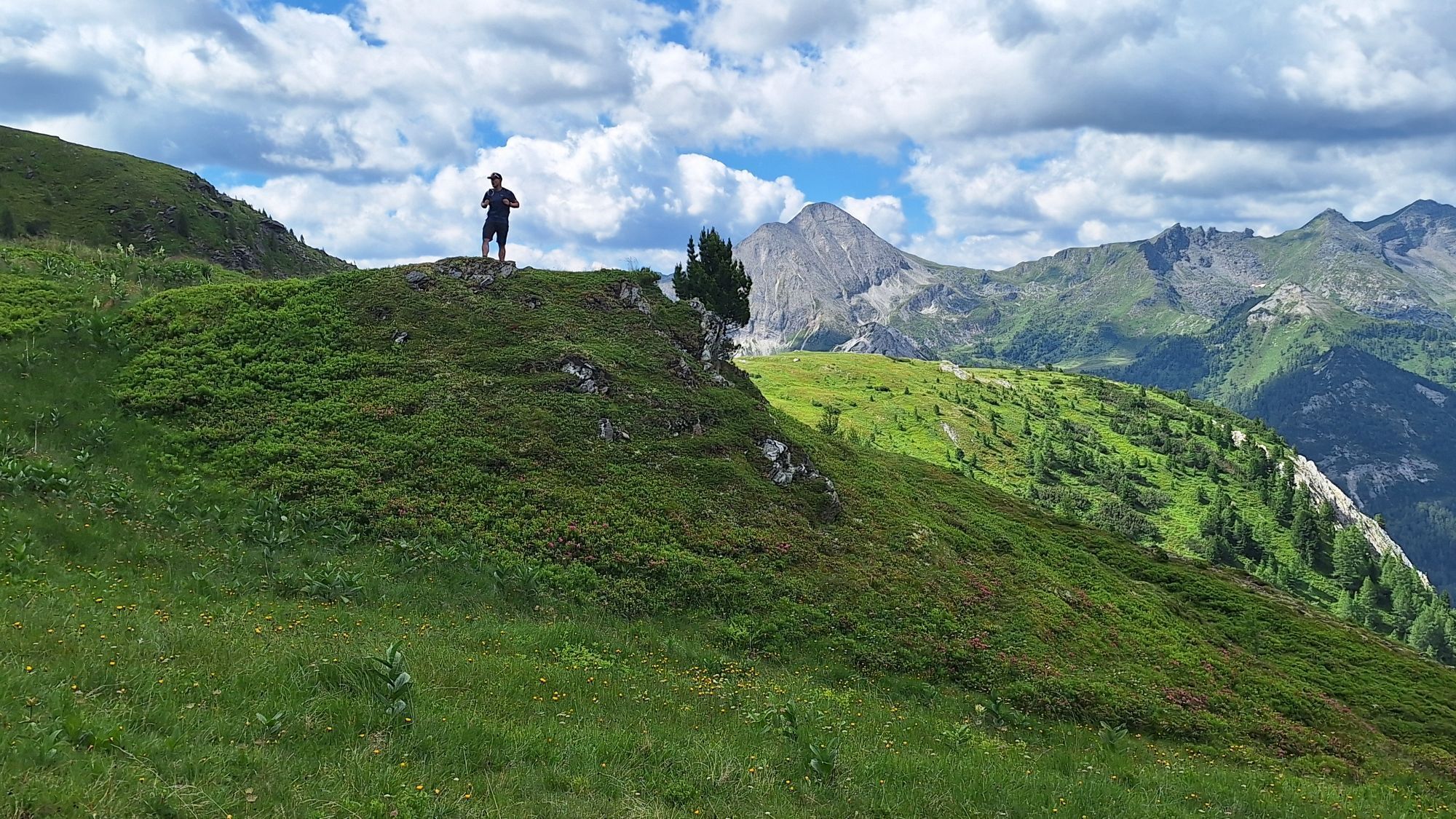
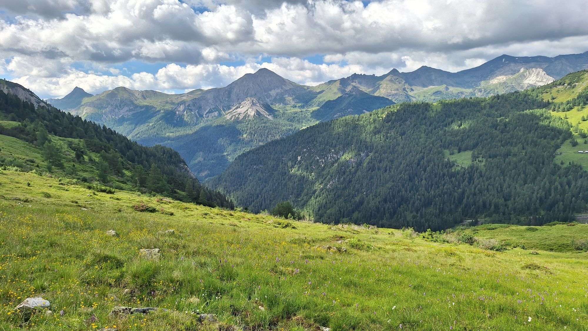
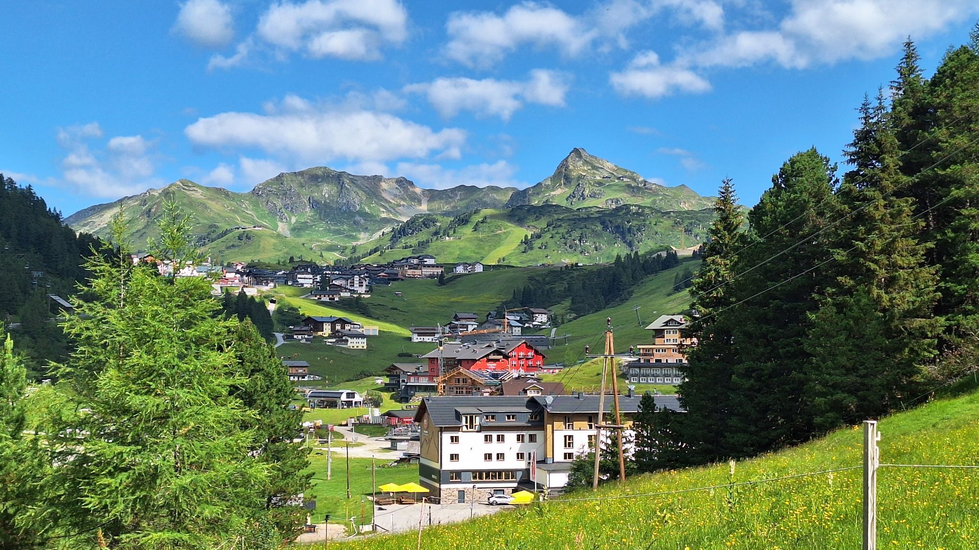
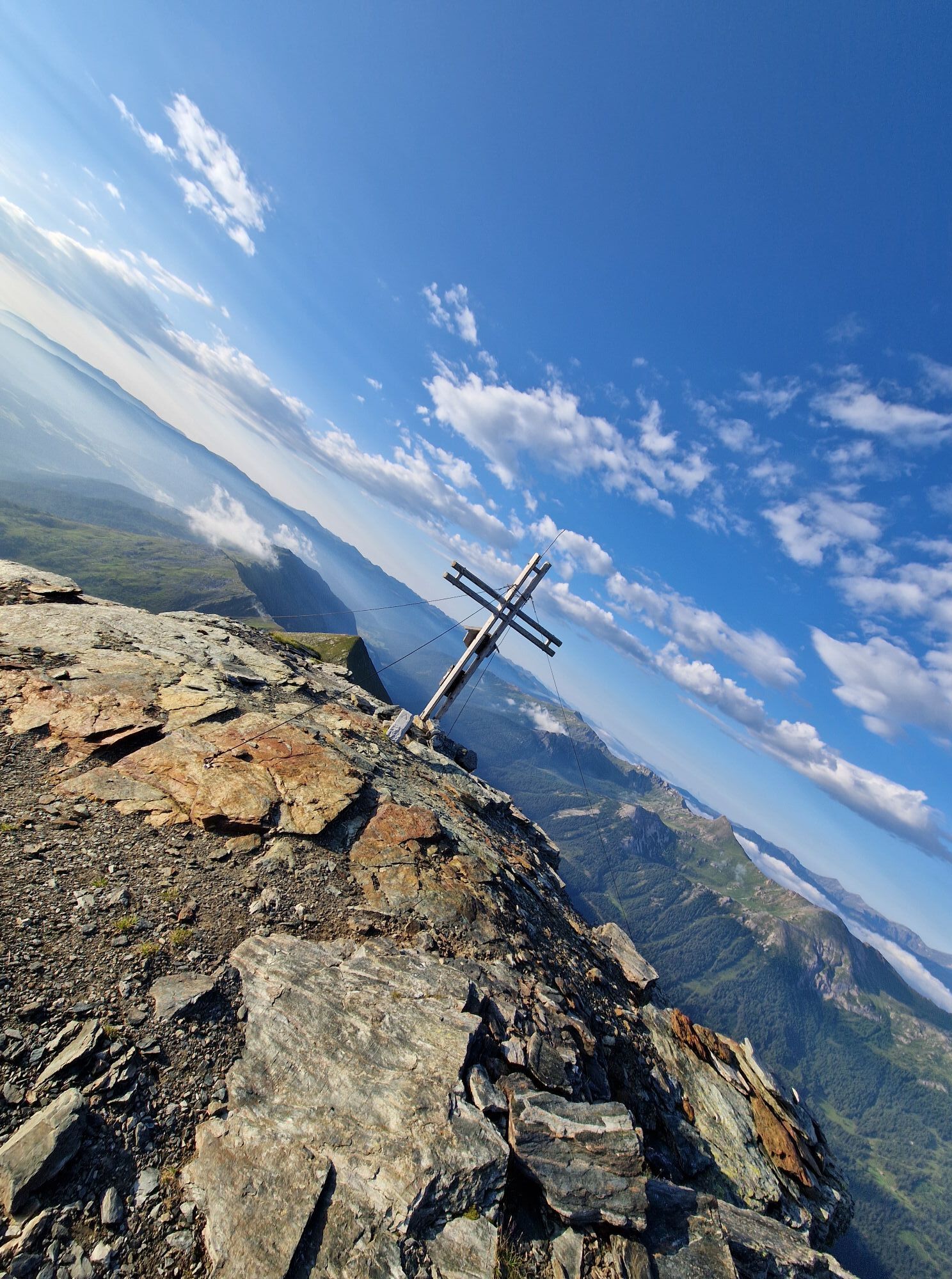
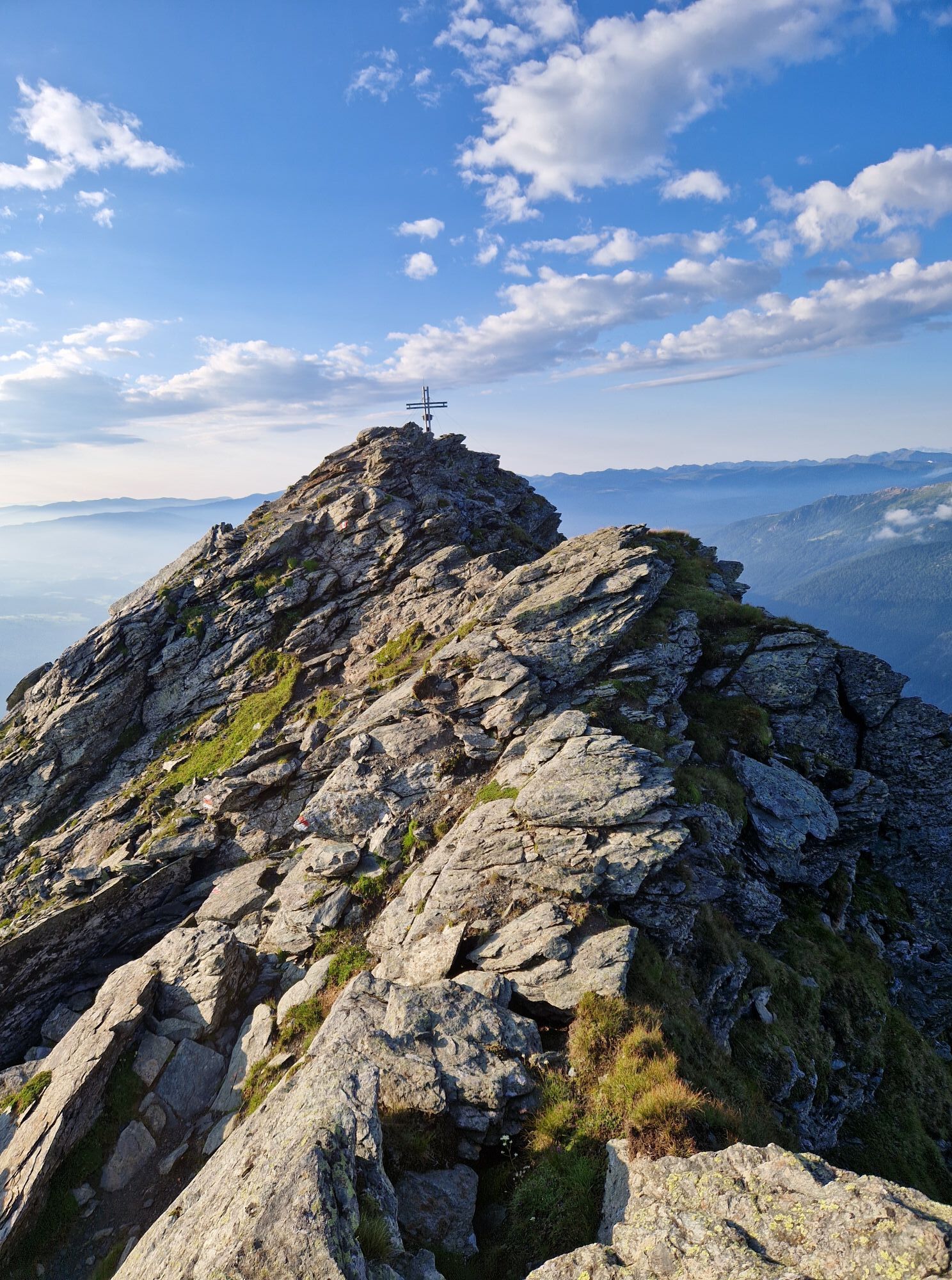
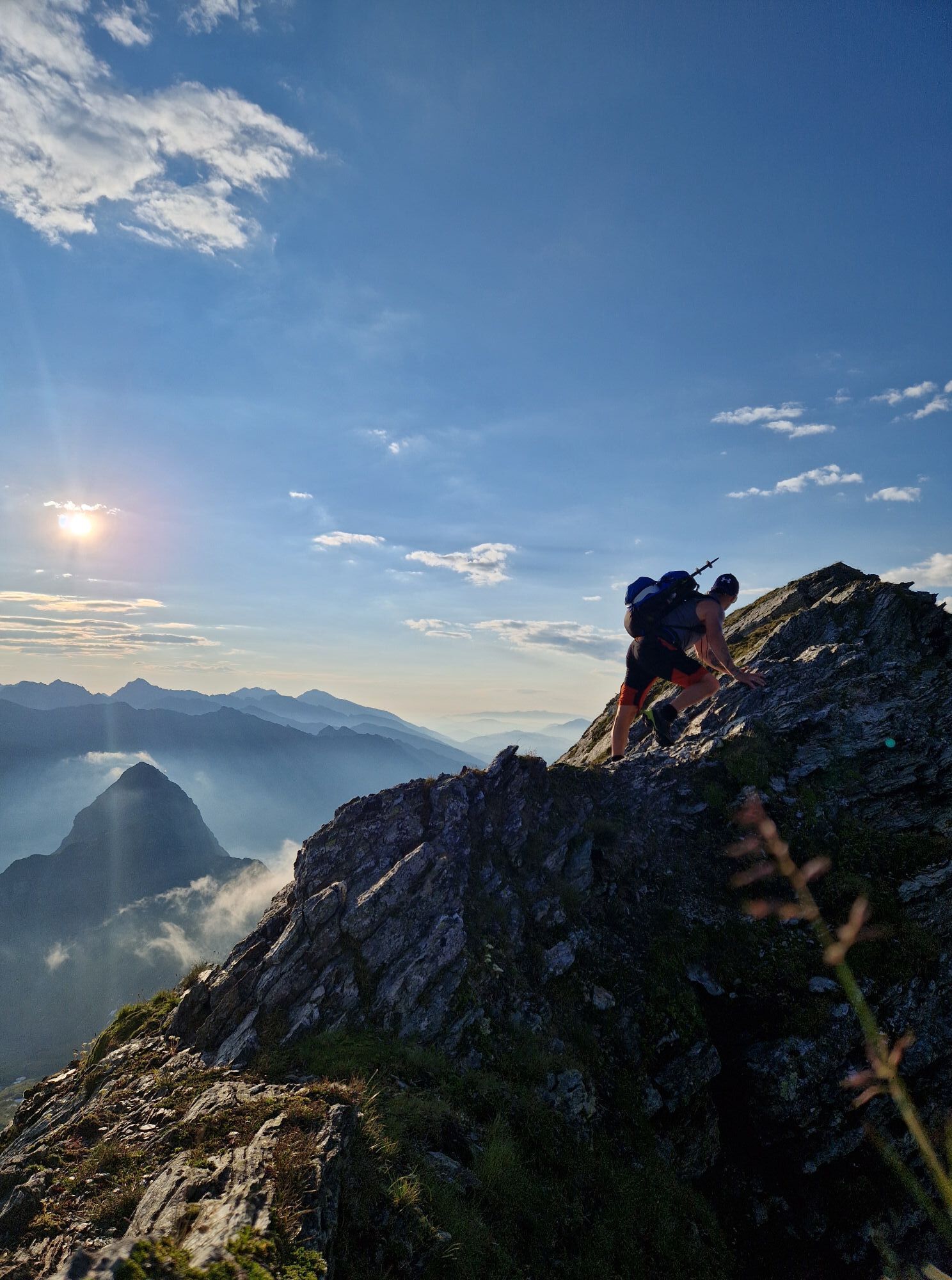
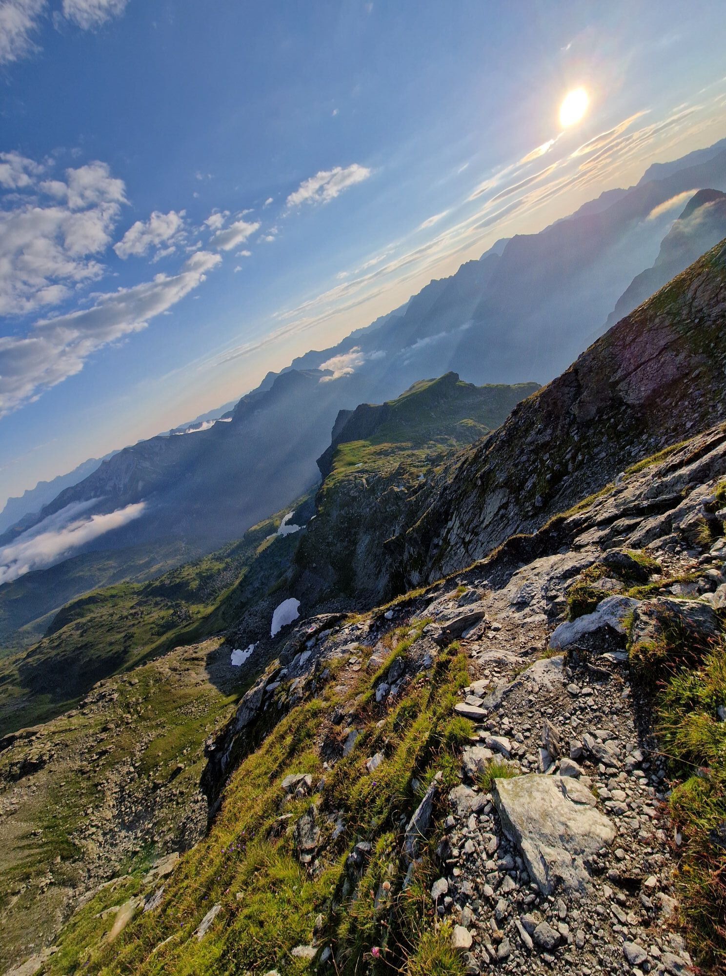
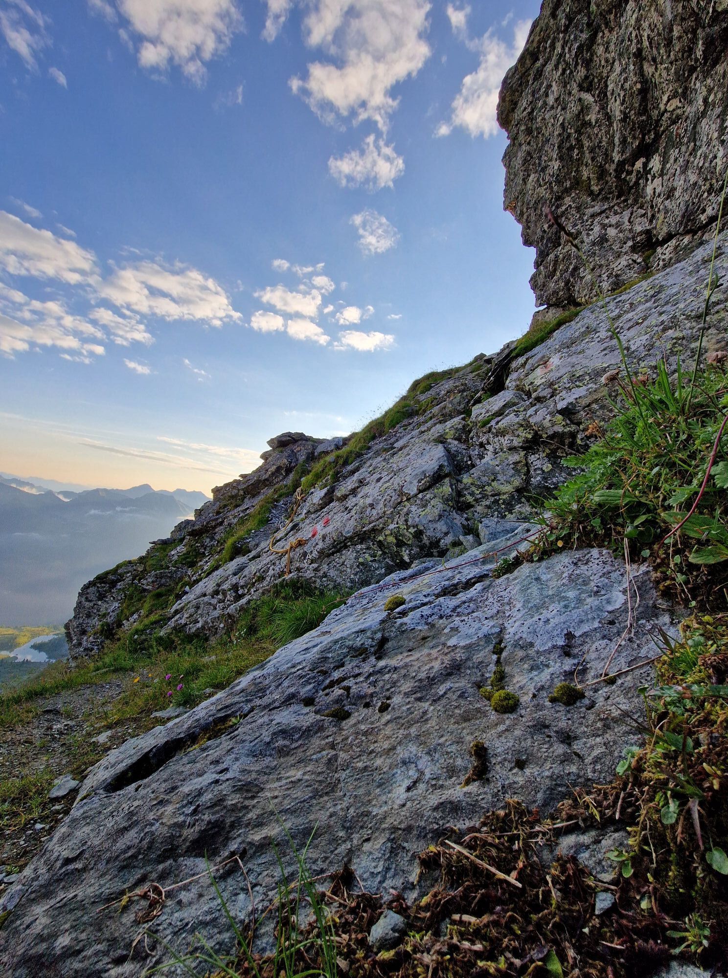
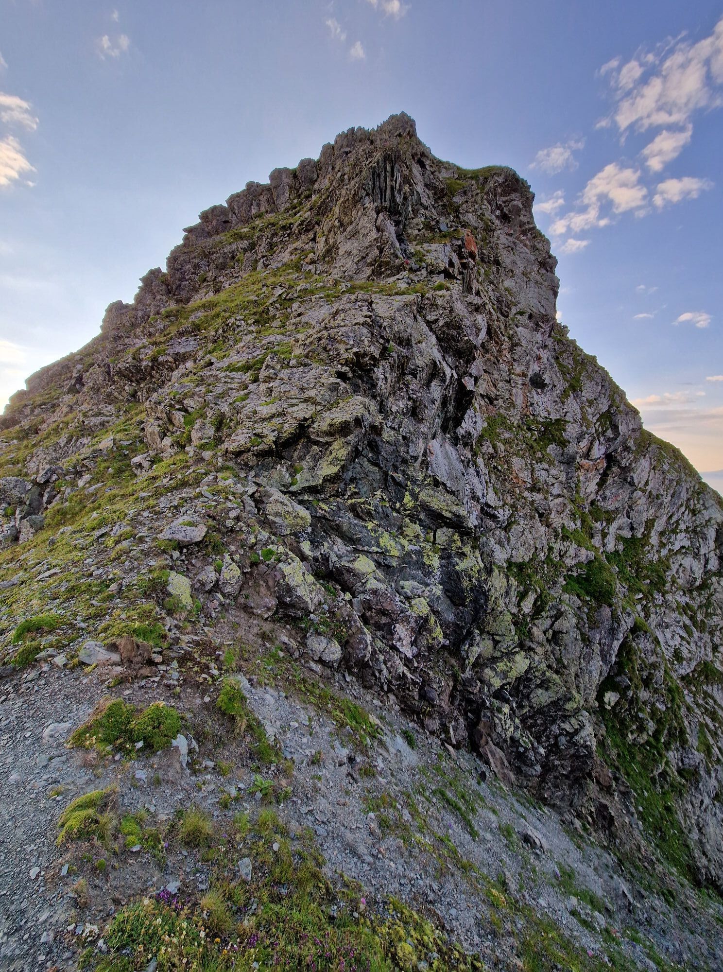
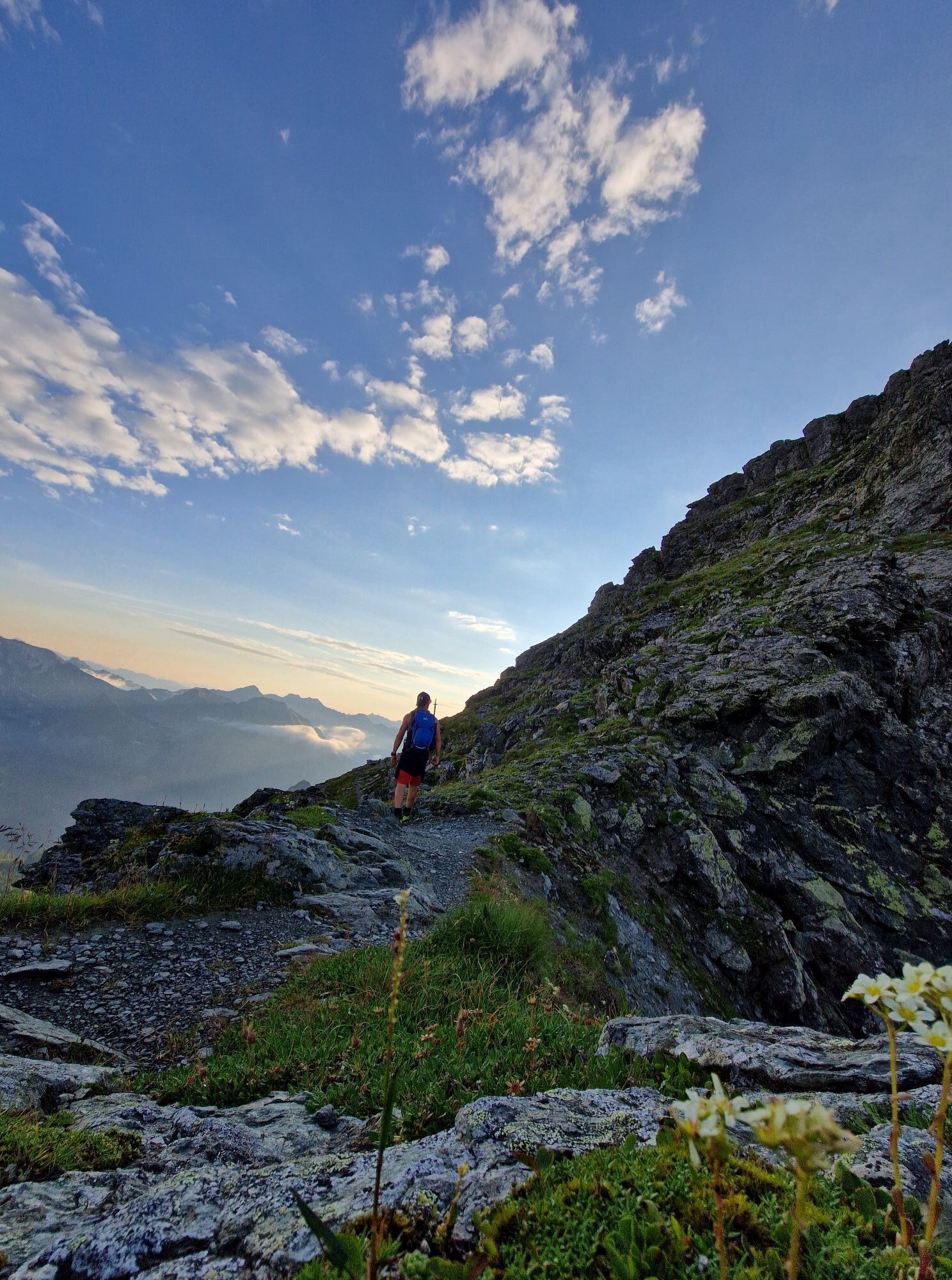
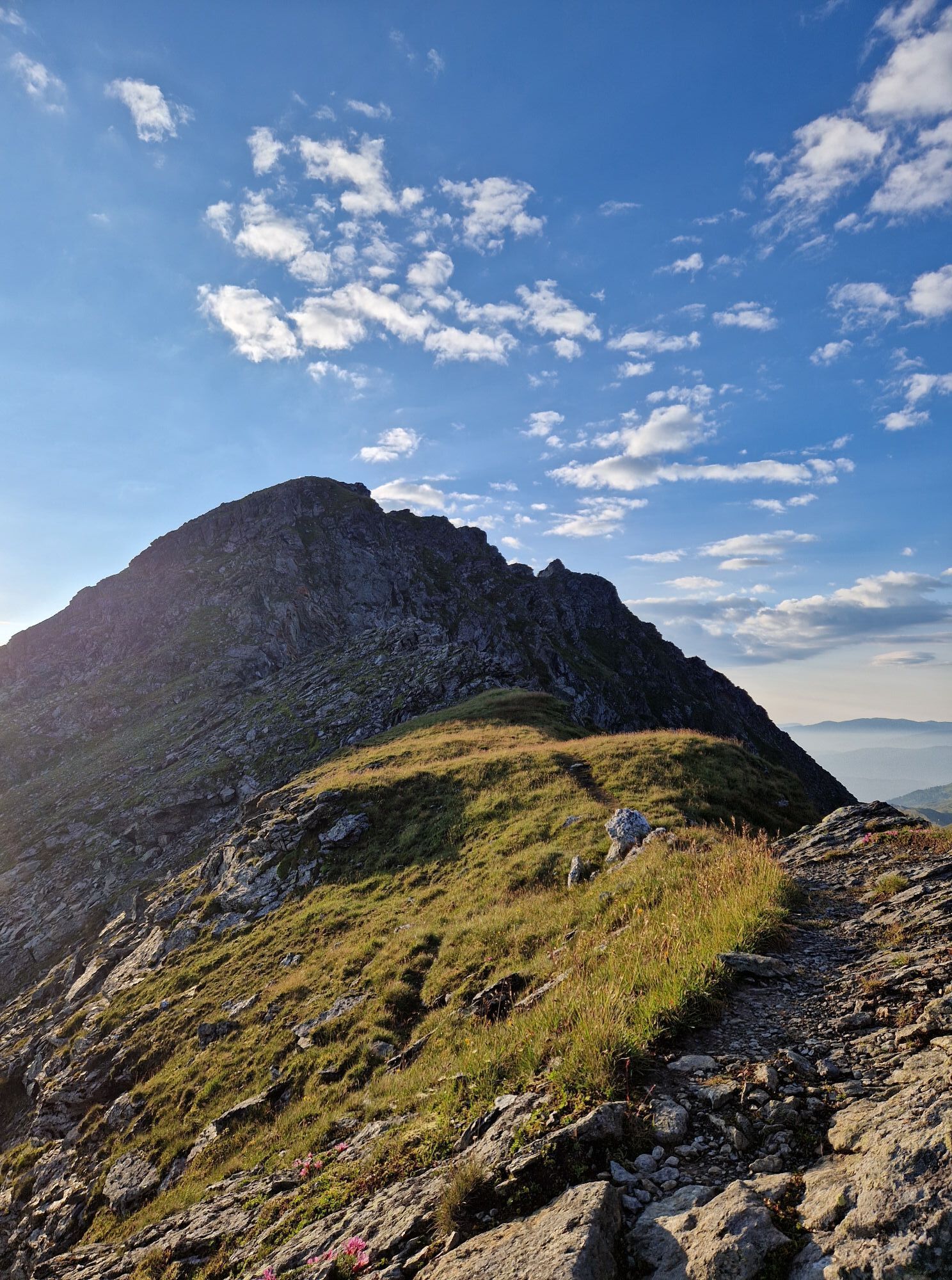
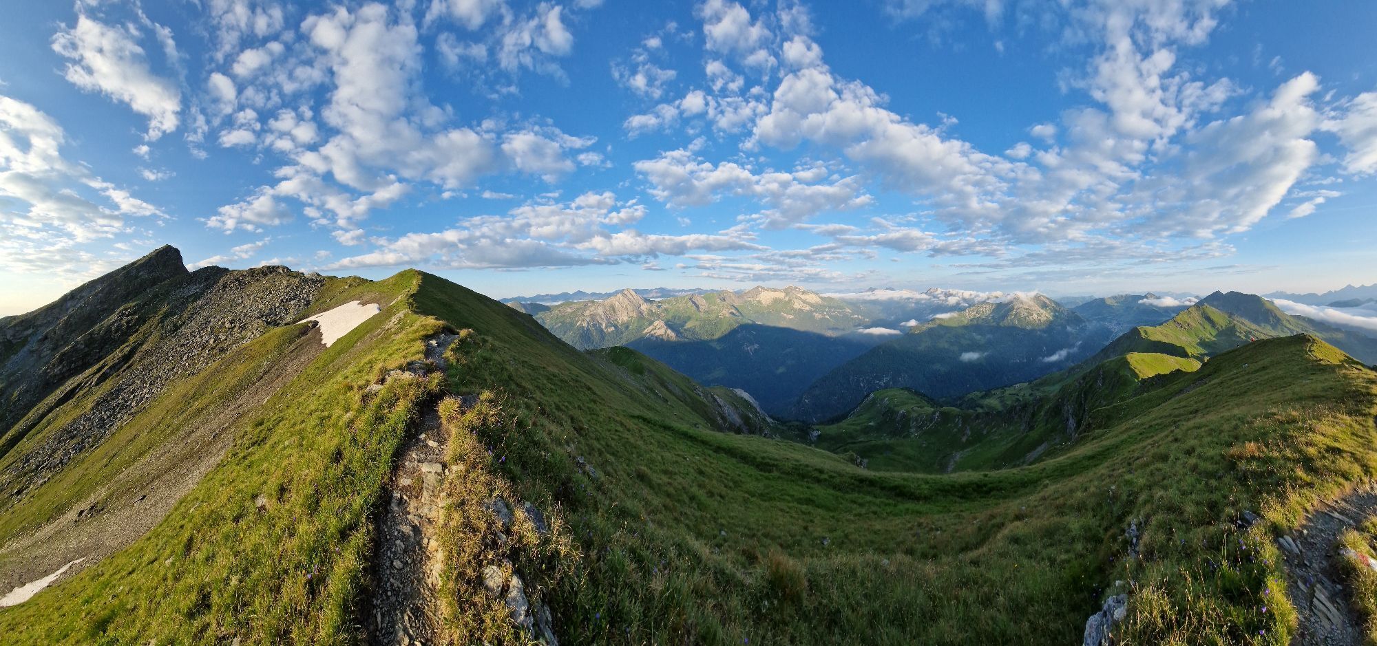
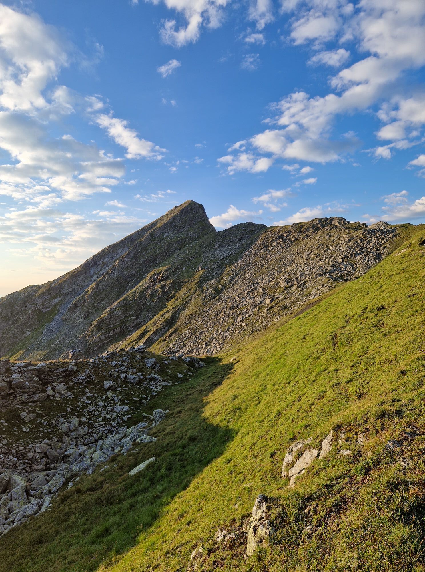
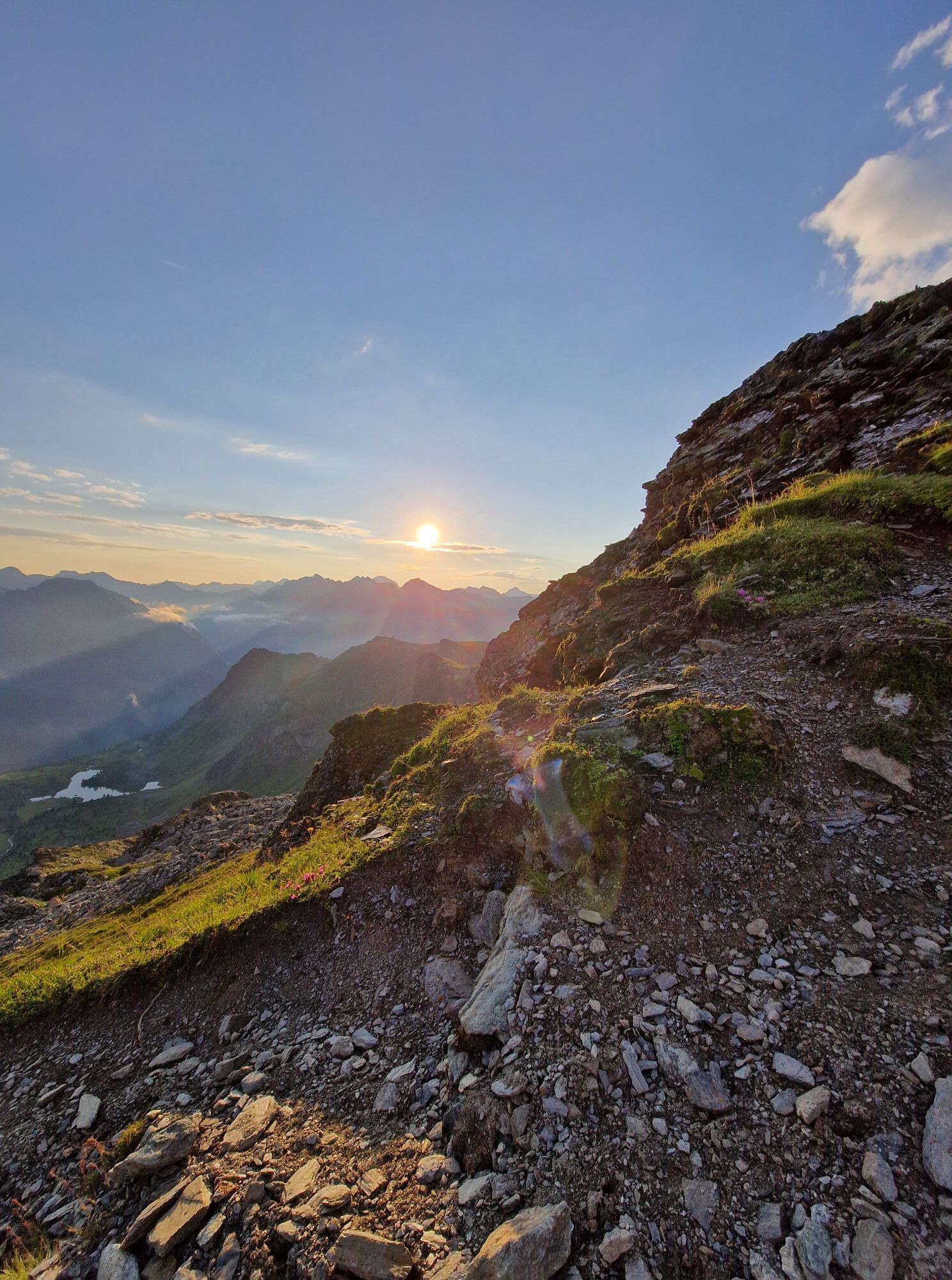
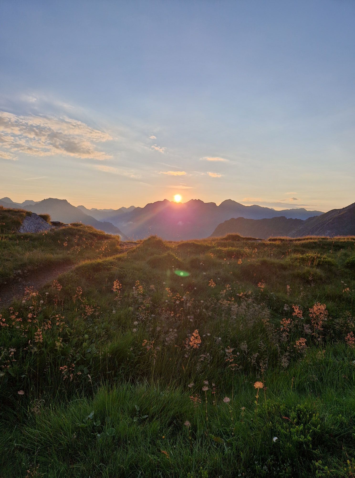
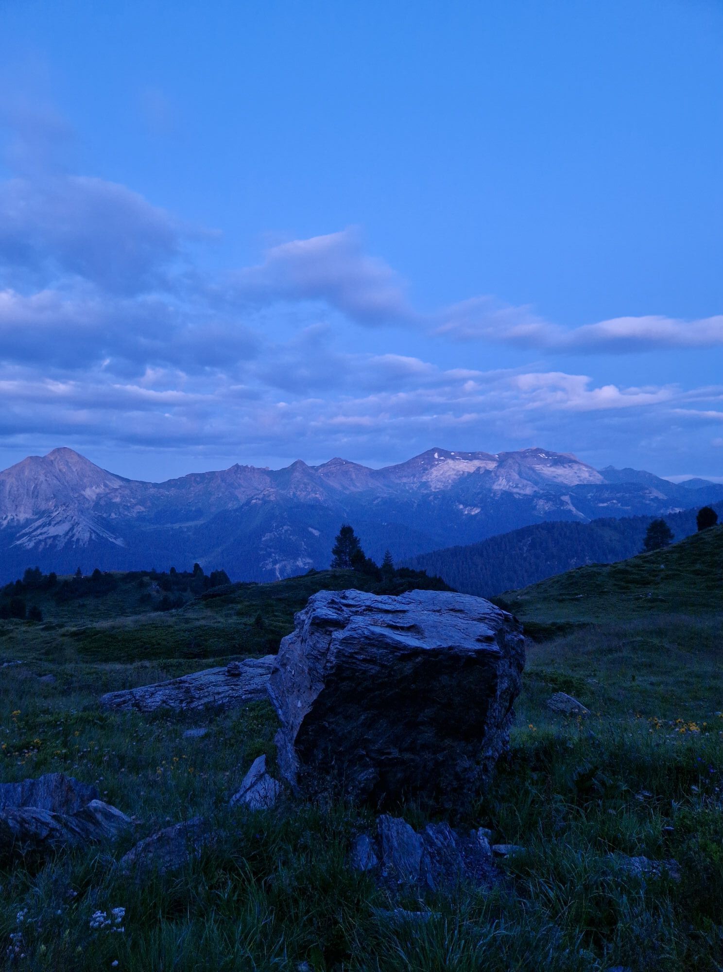
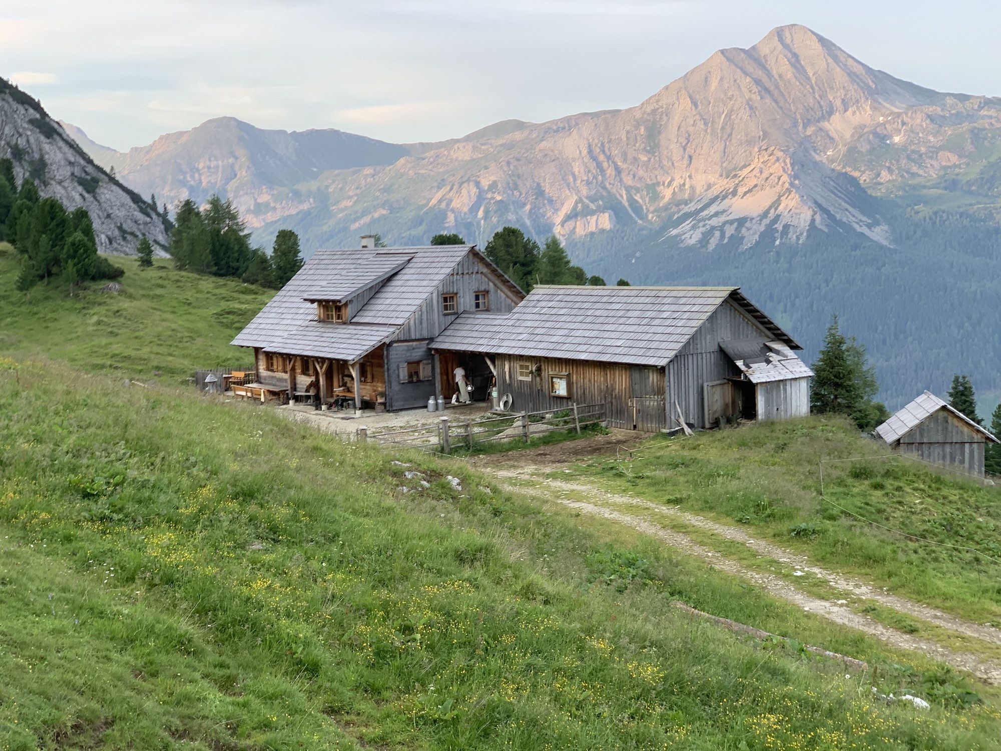
Gr. Gurpitscheck: Start at Obertauern – Schaidberg, then via the Twenger Alm to the Twenger Almsee, up to the saddle and on with sure-footed steps to the Gr. Gurpitscheck. *Safety information for...
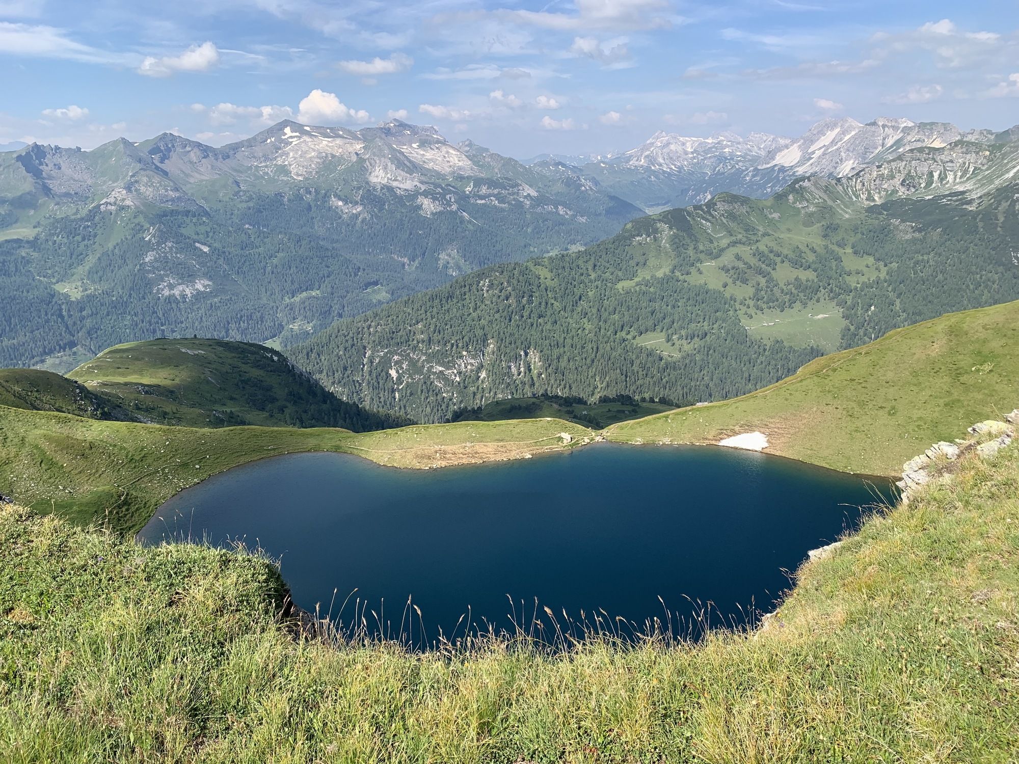
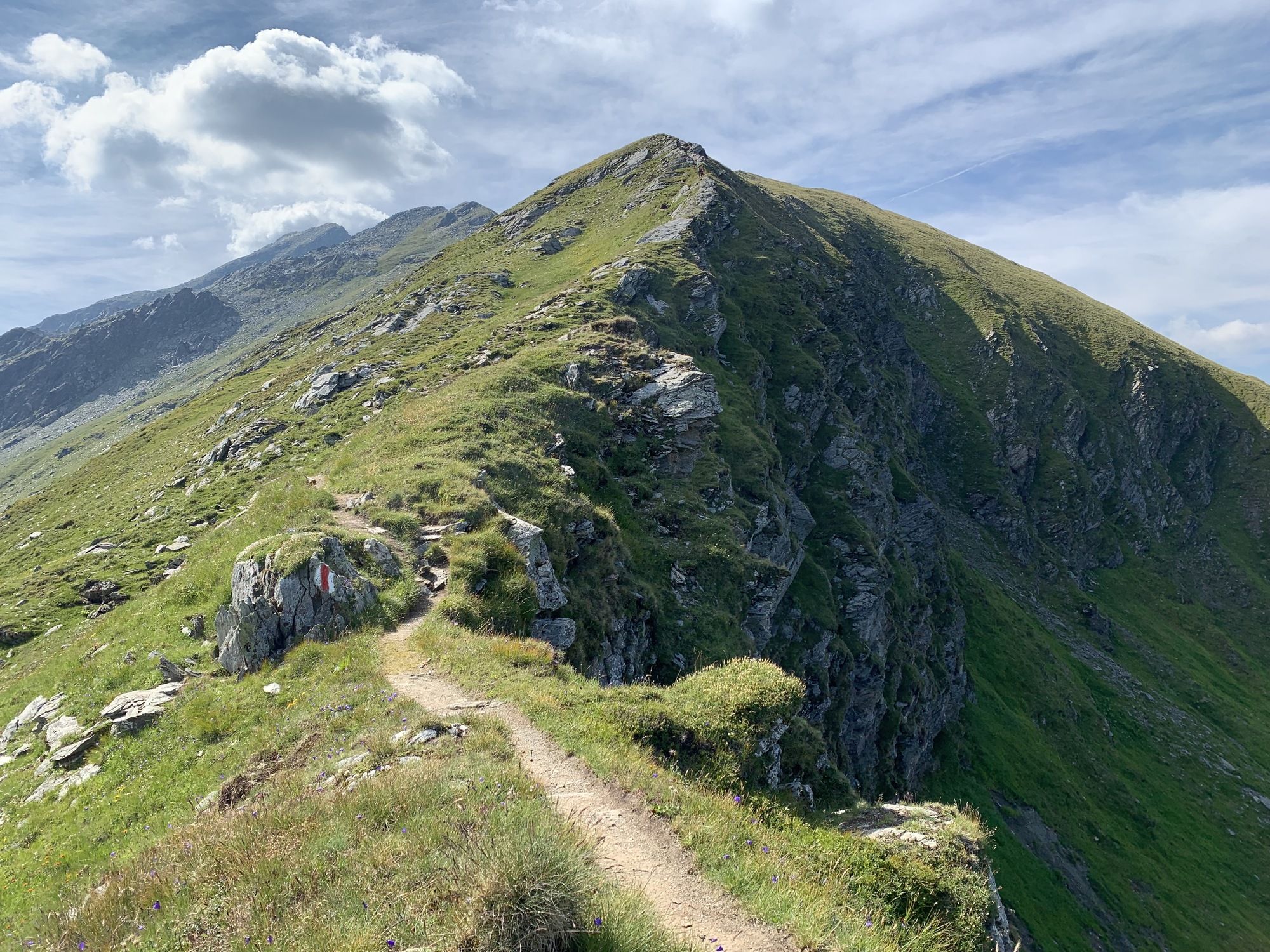
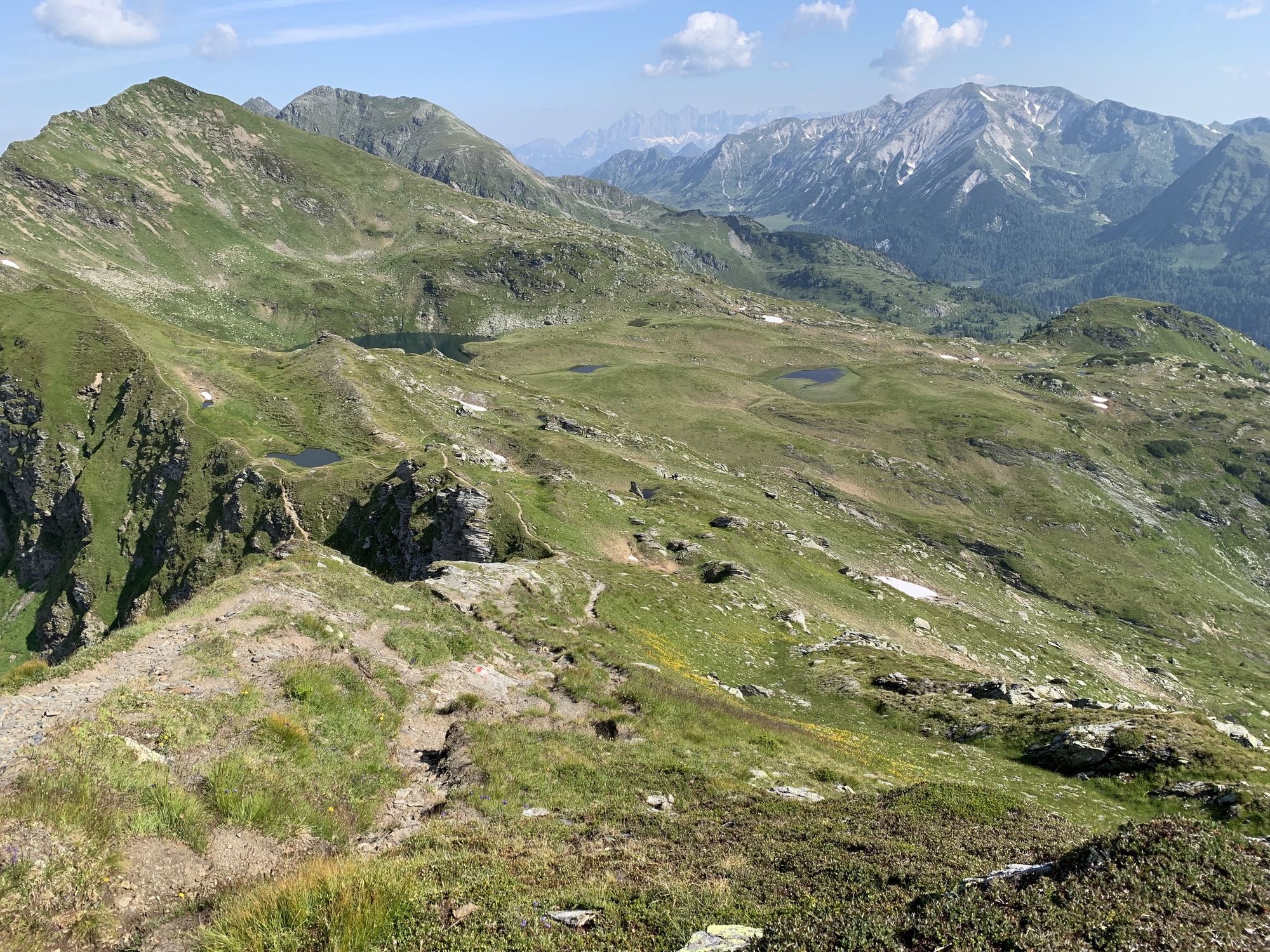
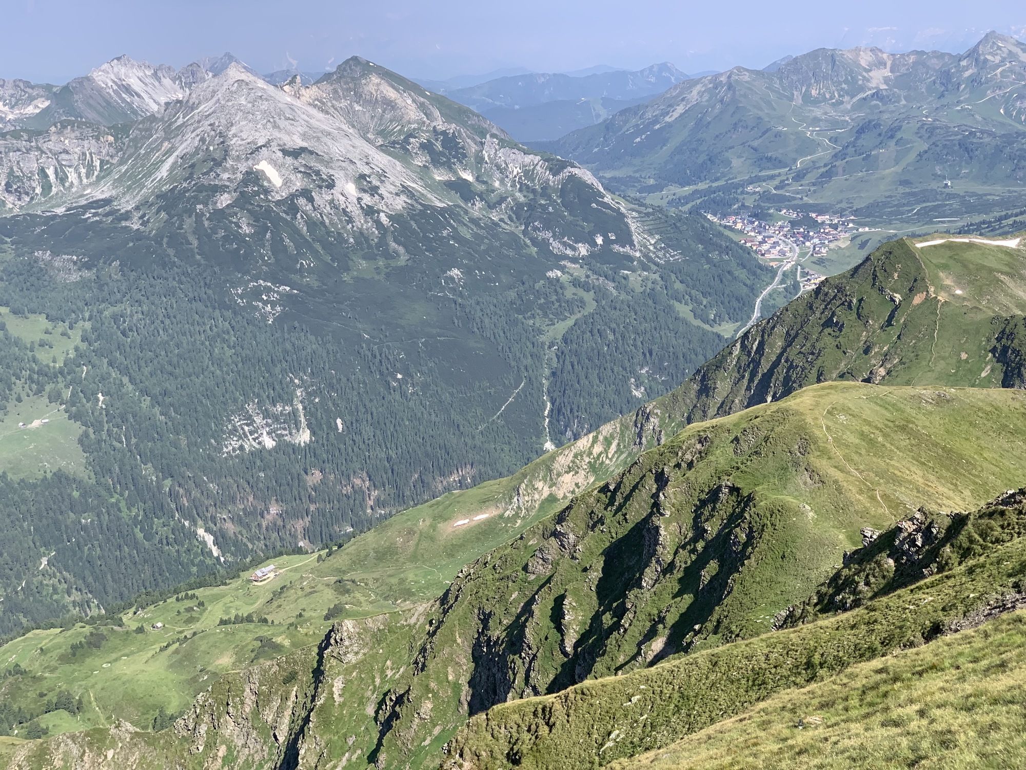
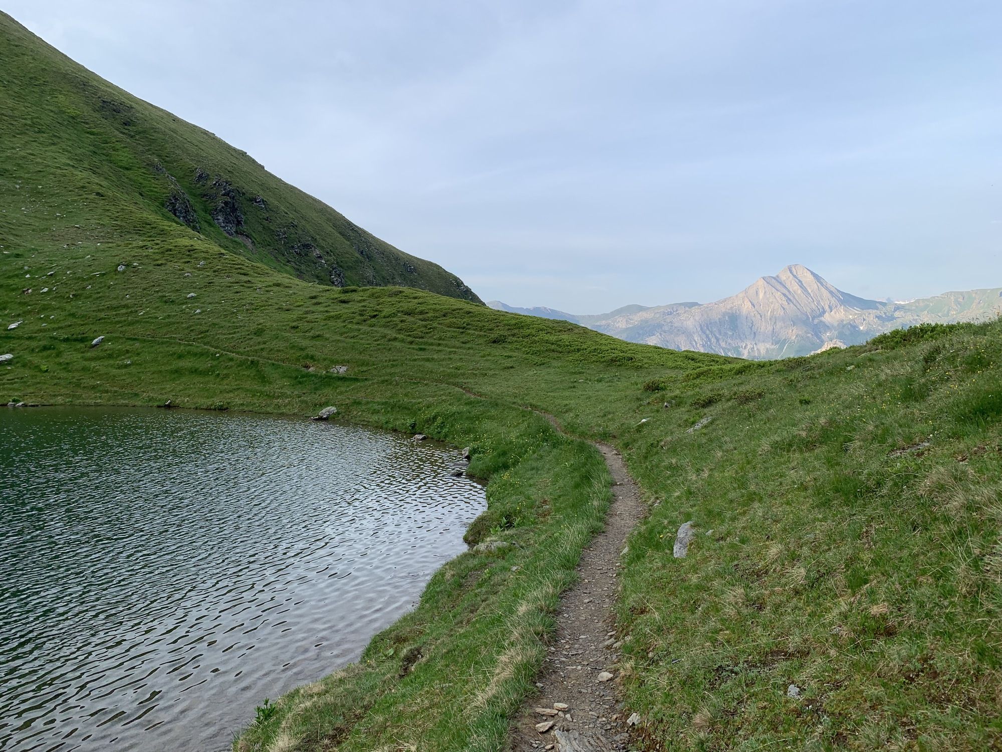
Gr. Gurpitscheck: Start at Obertauern – Schaidberg, then via the Twenger Alm to the Twenger Almsee, up to the saddle and on with sure-footed steps to the Gr. Gurpitscheck.
Safety information for the ascent:
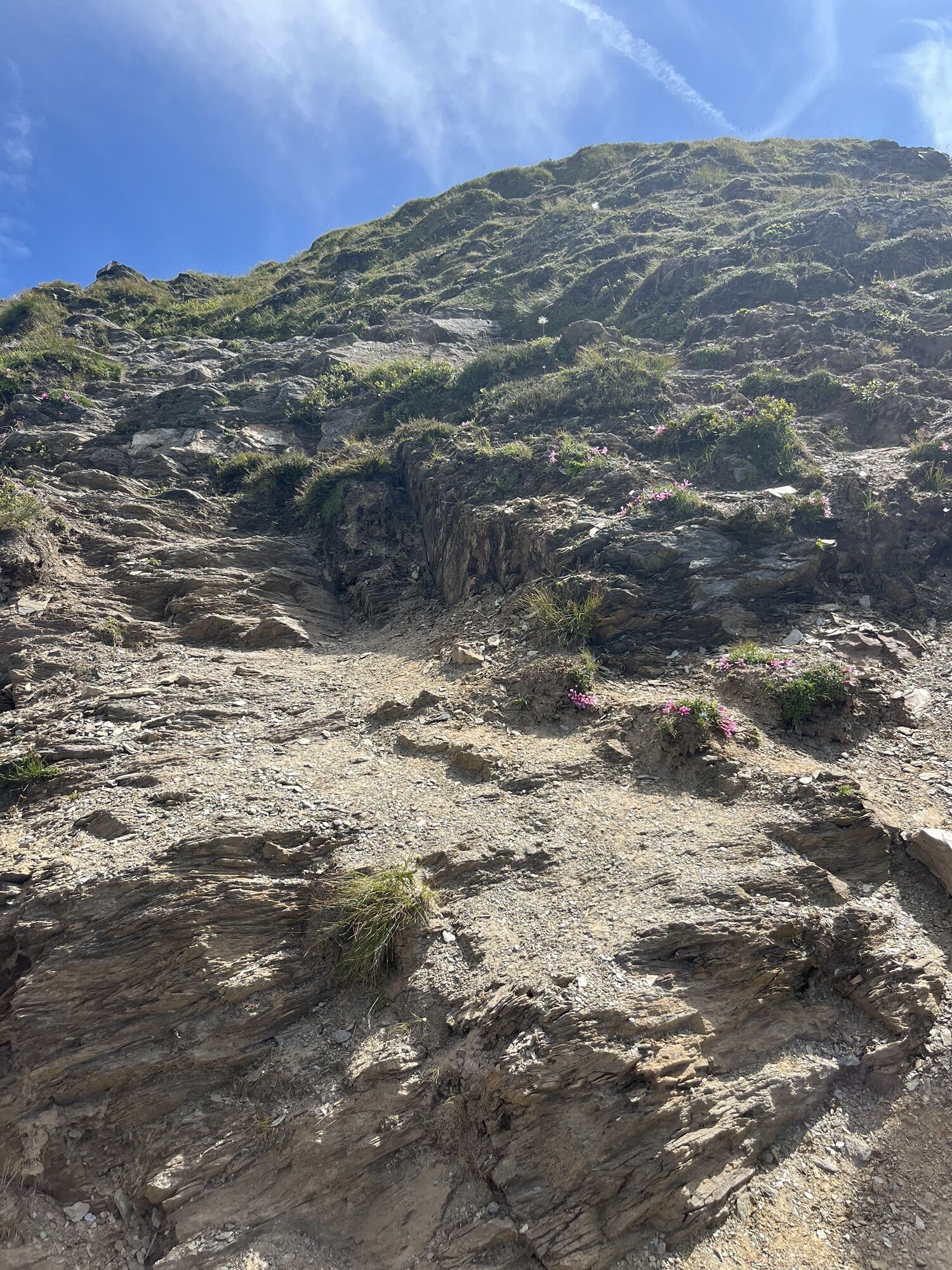
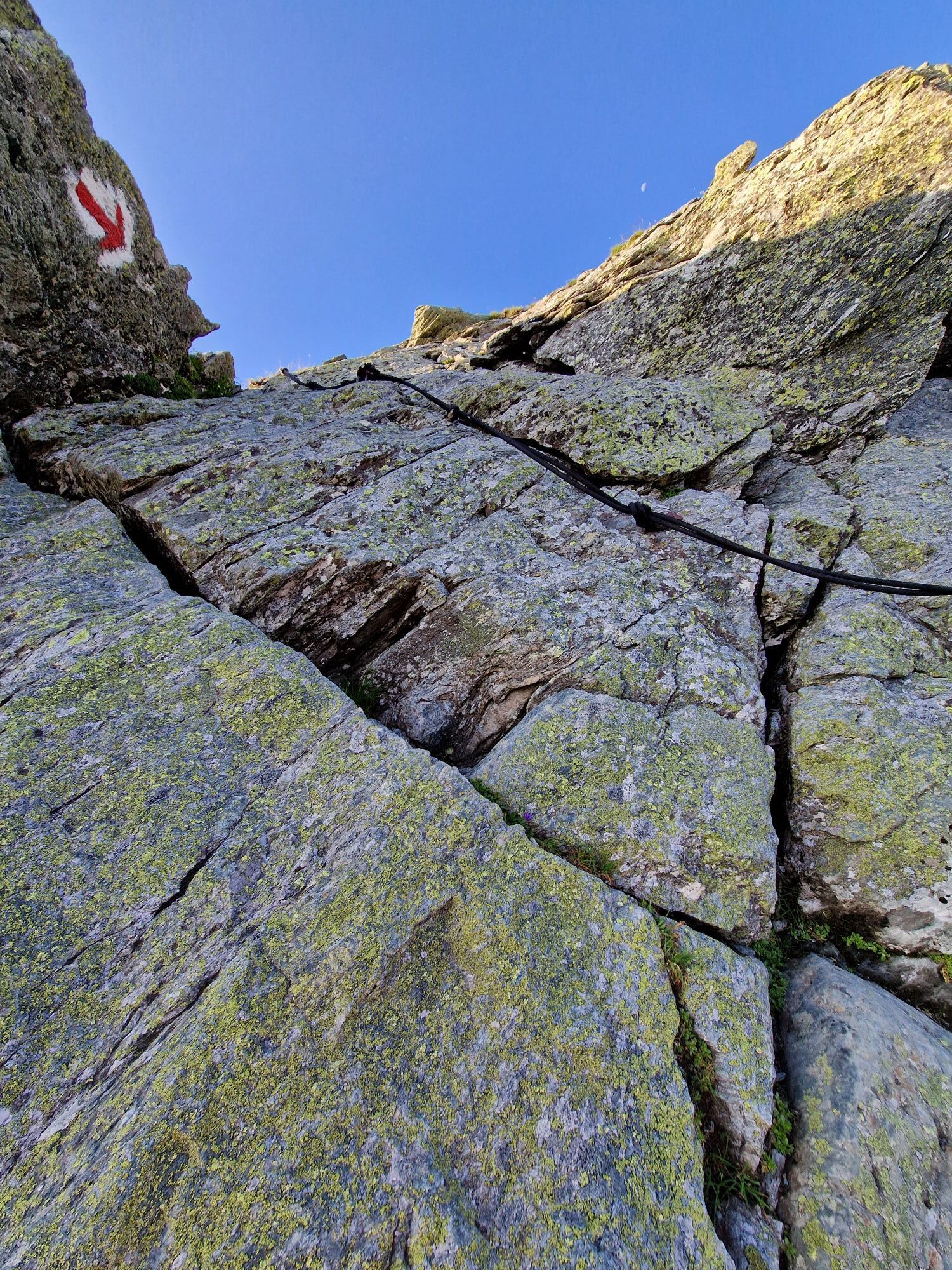
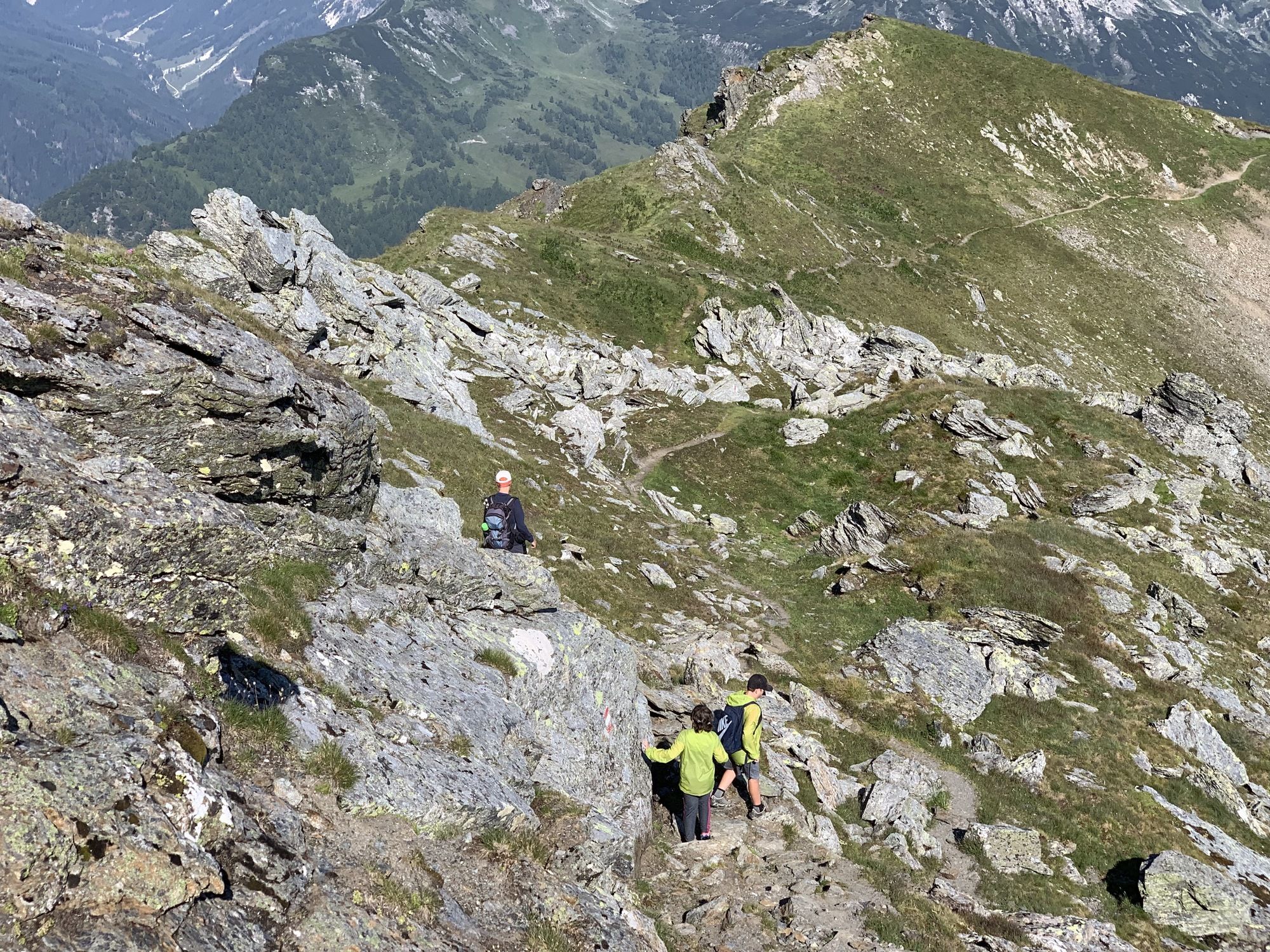
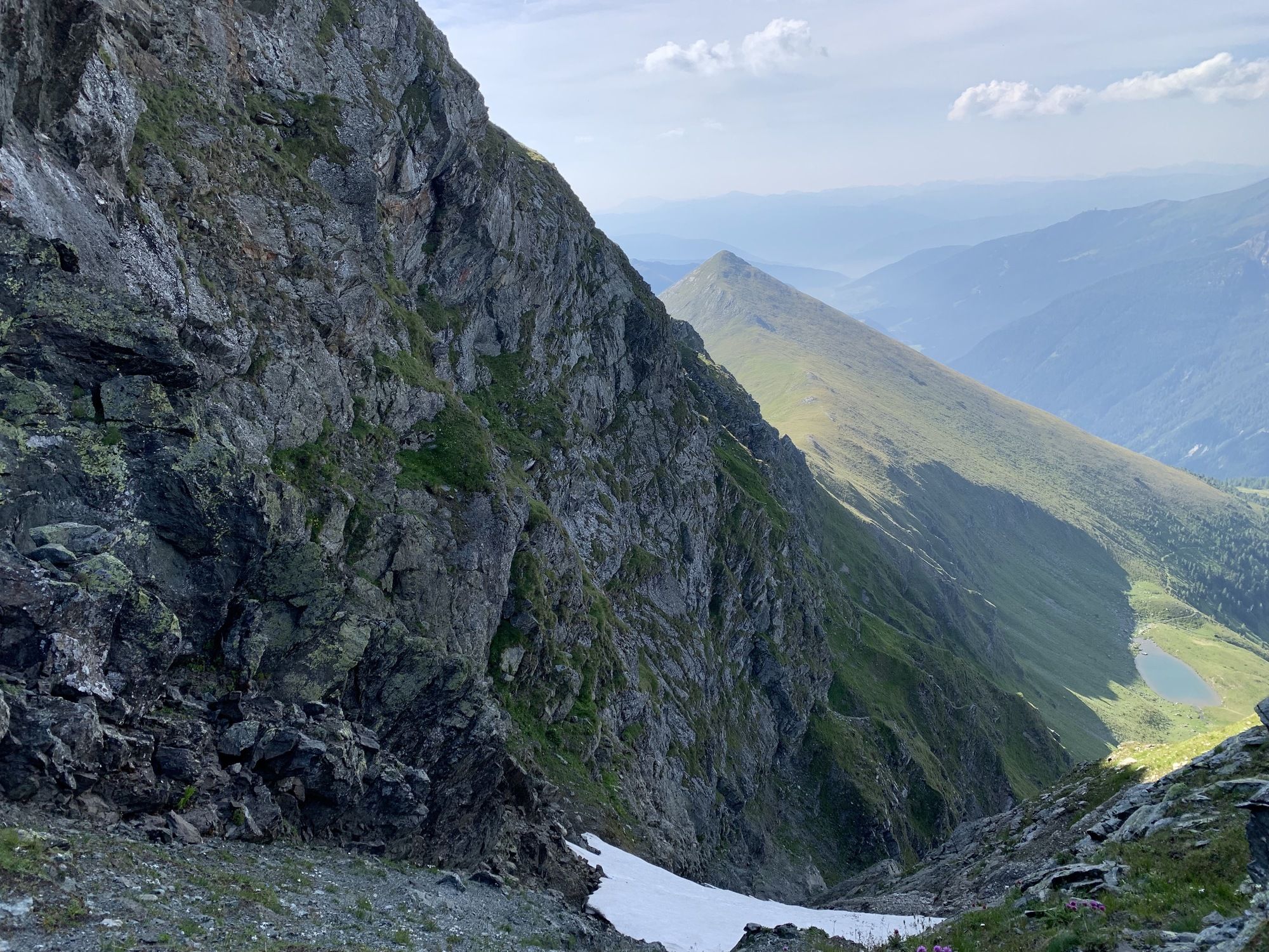
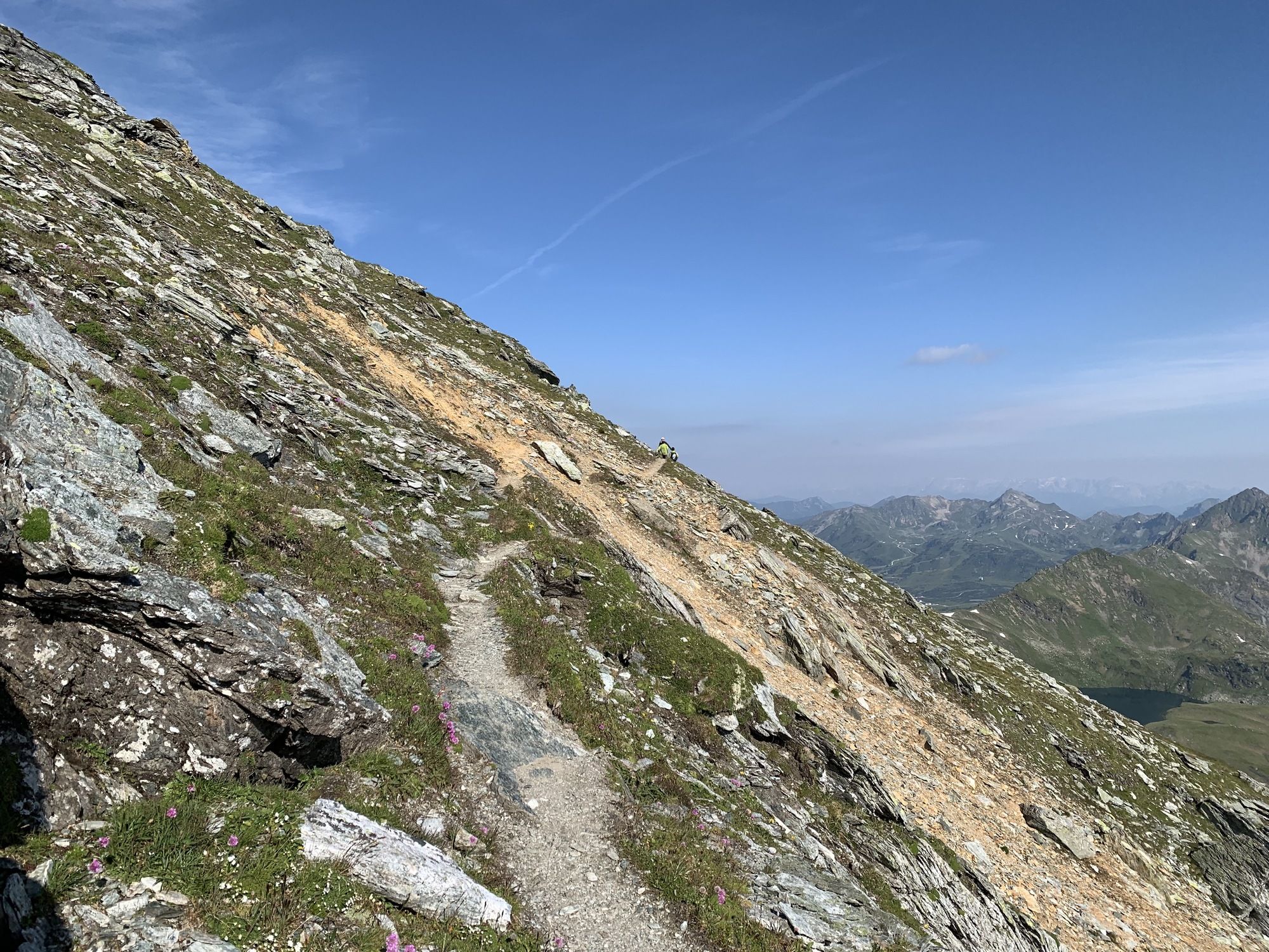
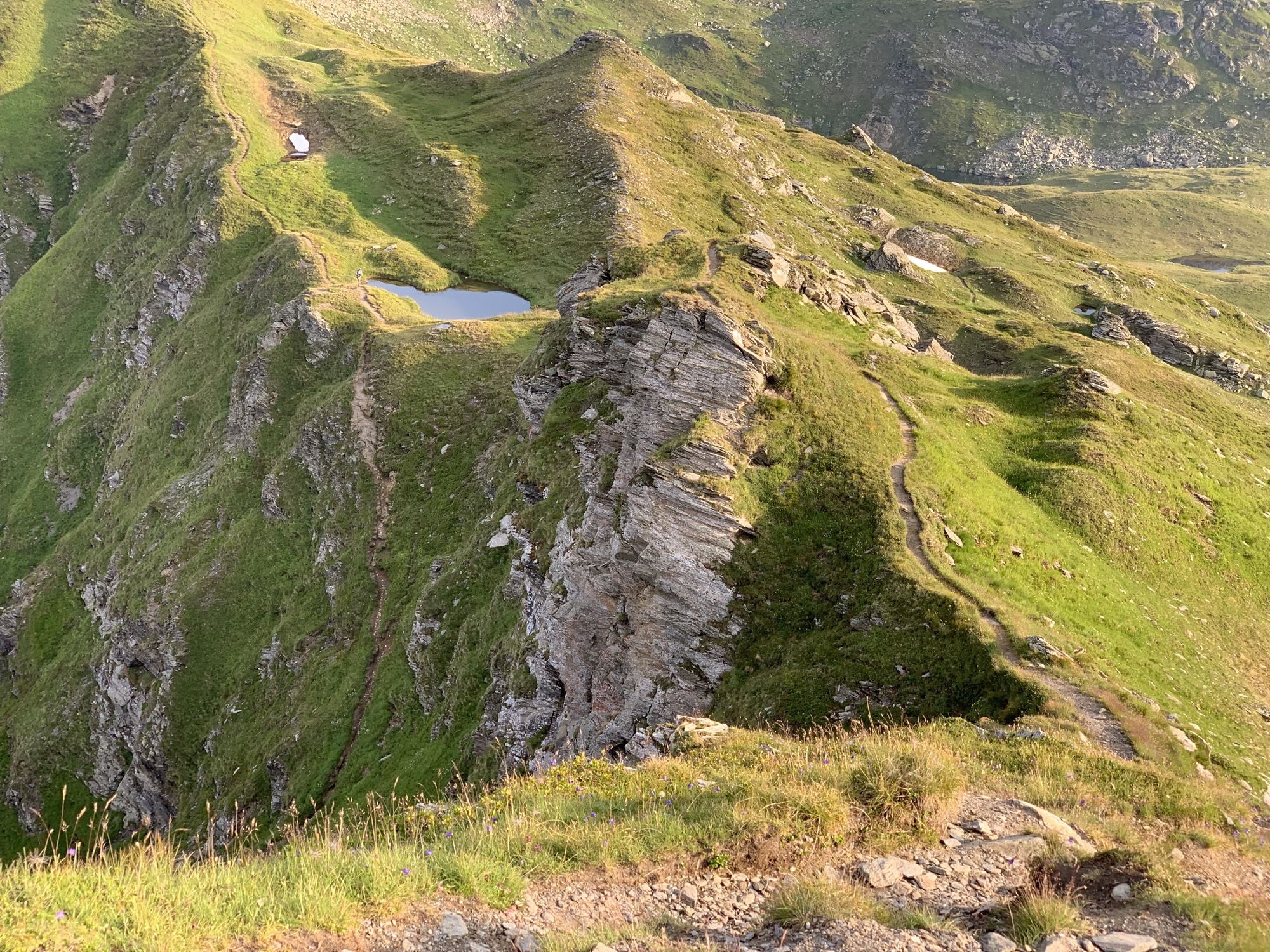
The section in the text referring to “up to the saddle” from the Twenger Almsee is only recommended for mountaineers with absolutely sure-footedness! The descent via this (only marked!) route is even more tricky! There are two completely unsecured sections where the path has eroded dangerously – as have the secured slab sections further up towards the summit.
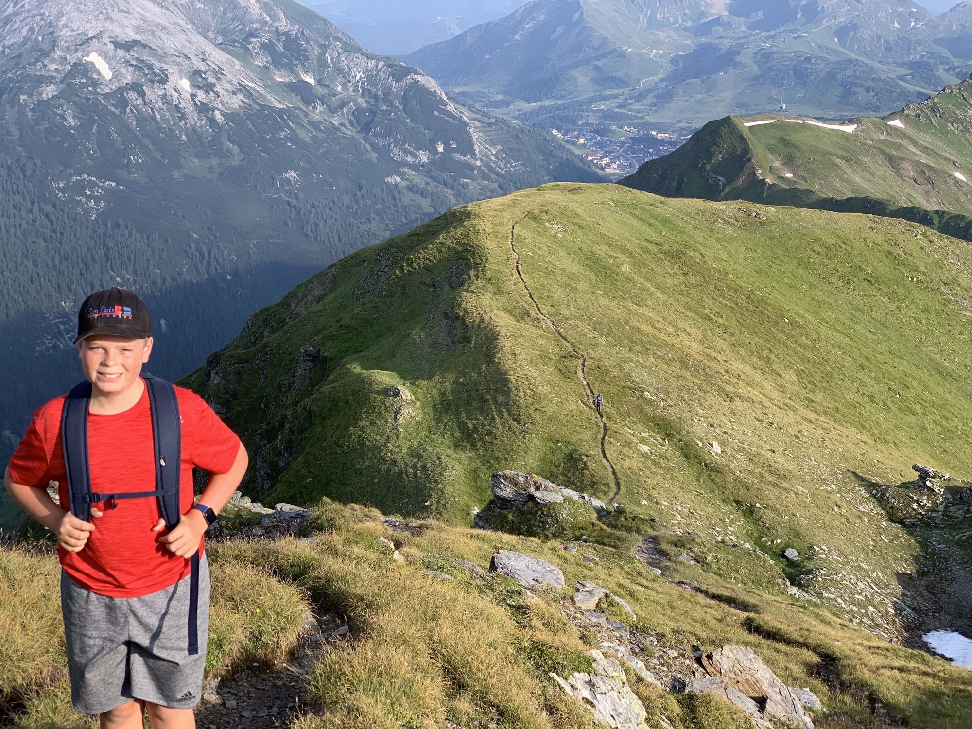
In any case, the unmarked “detour” from the Tweger Almsee – heading left uphill and then right along the ridge (south) to the aforementioned saddle – is considerably safer (and also more scenic)!
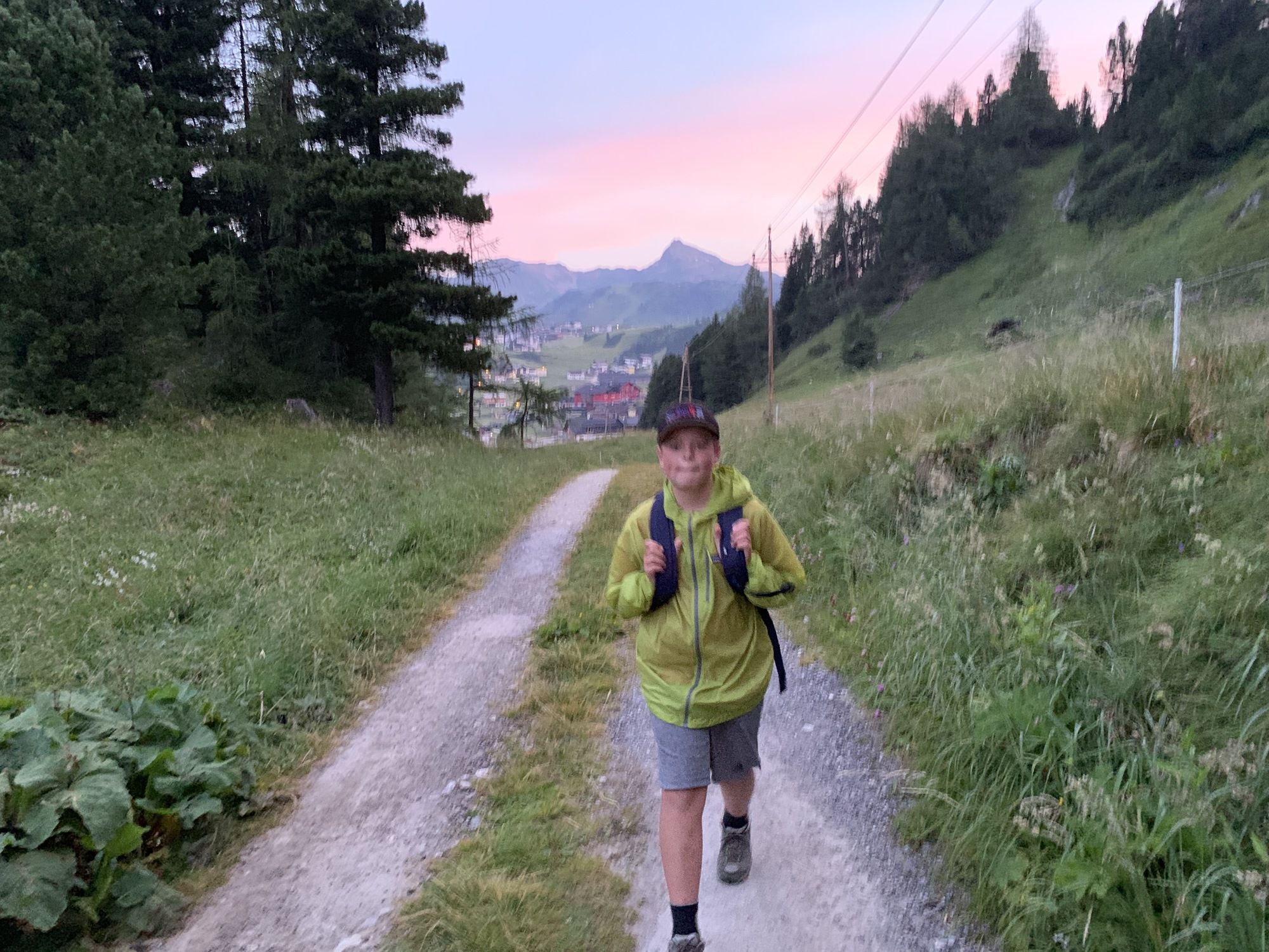
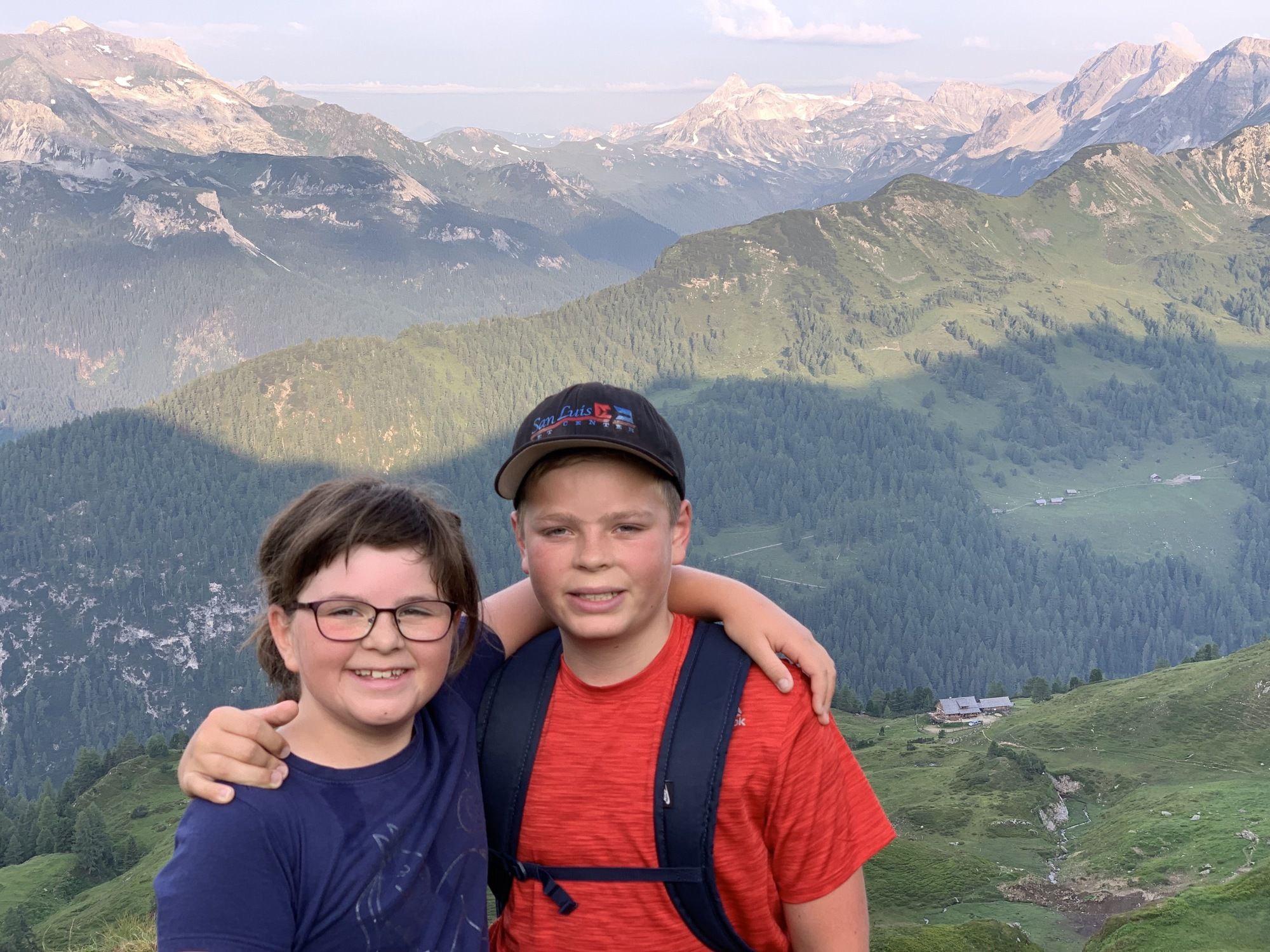
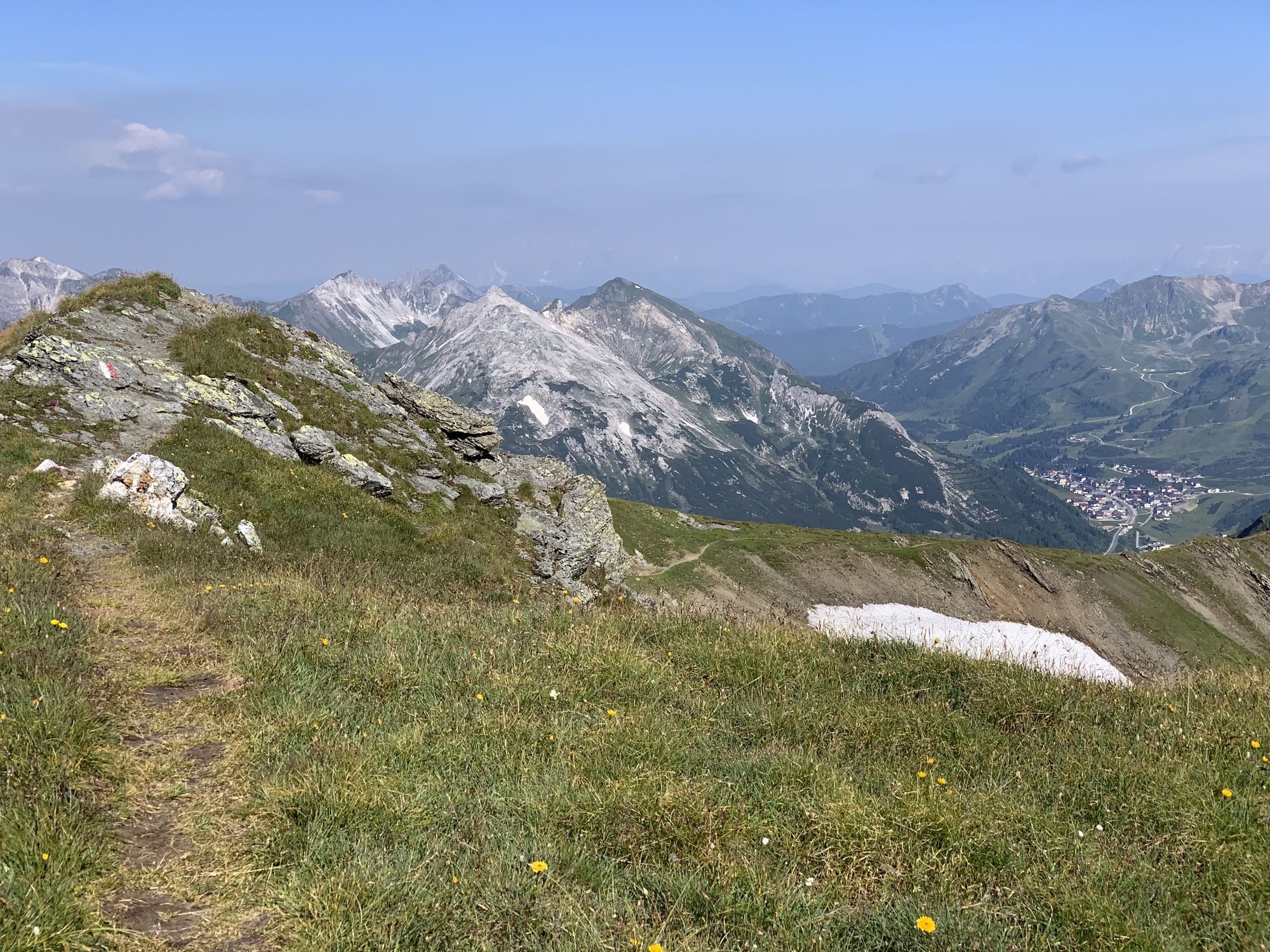
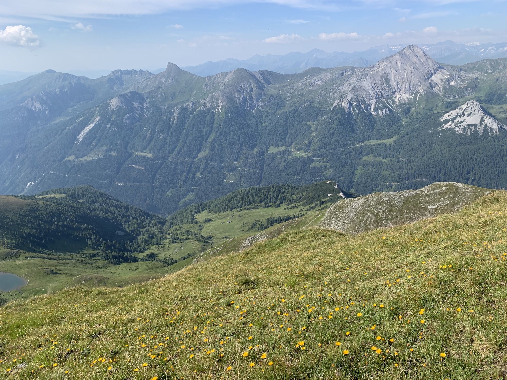
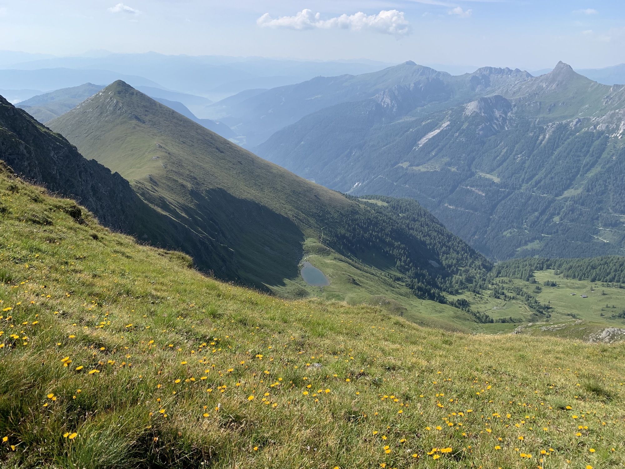
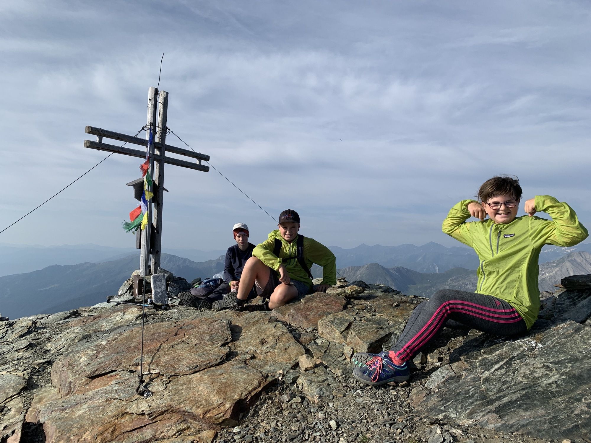
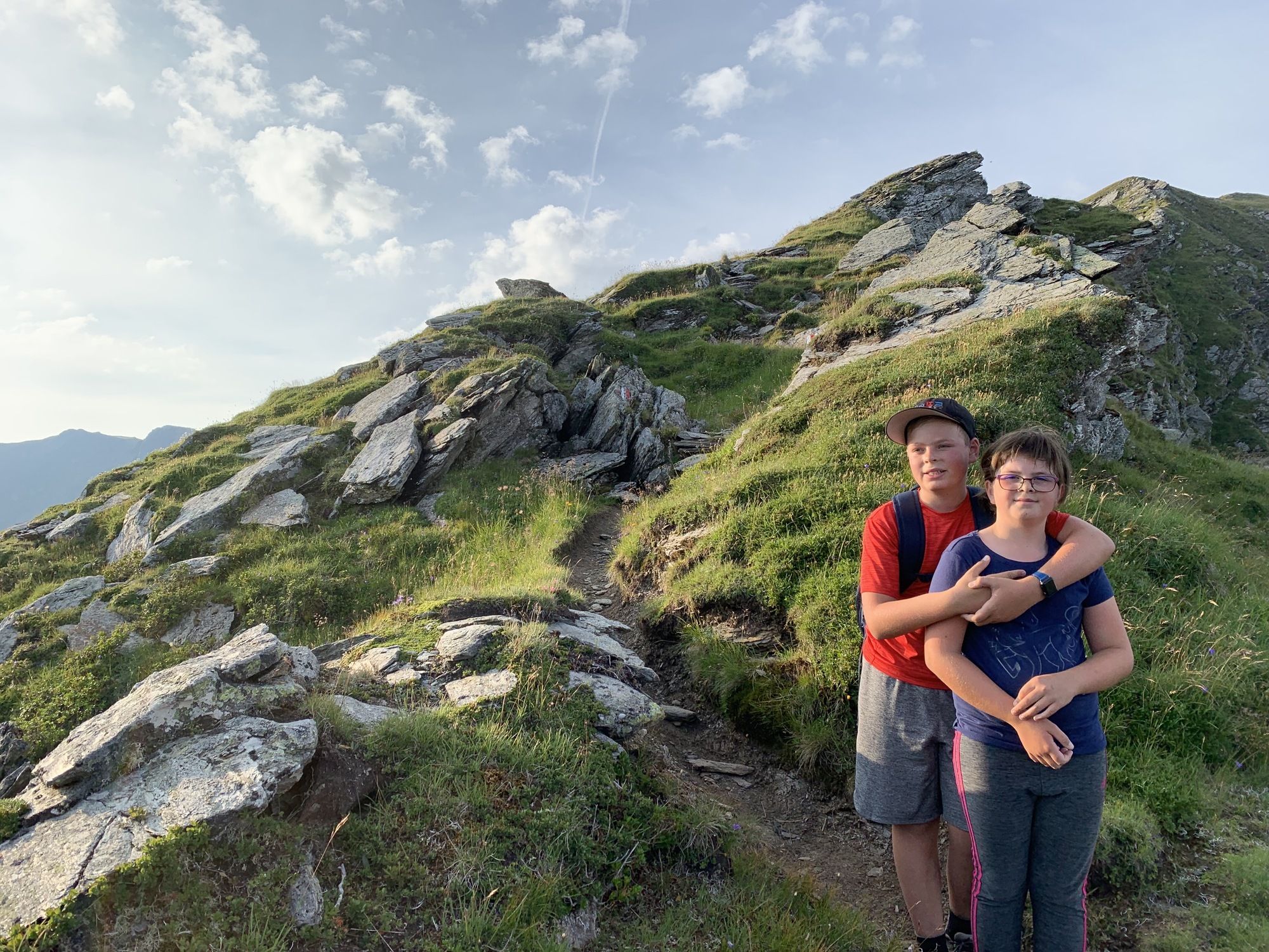
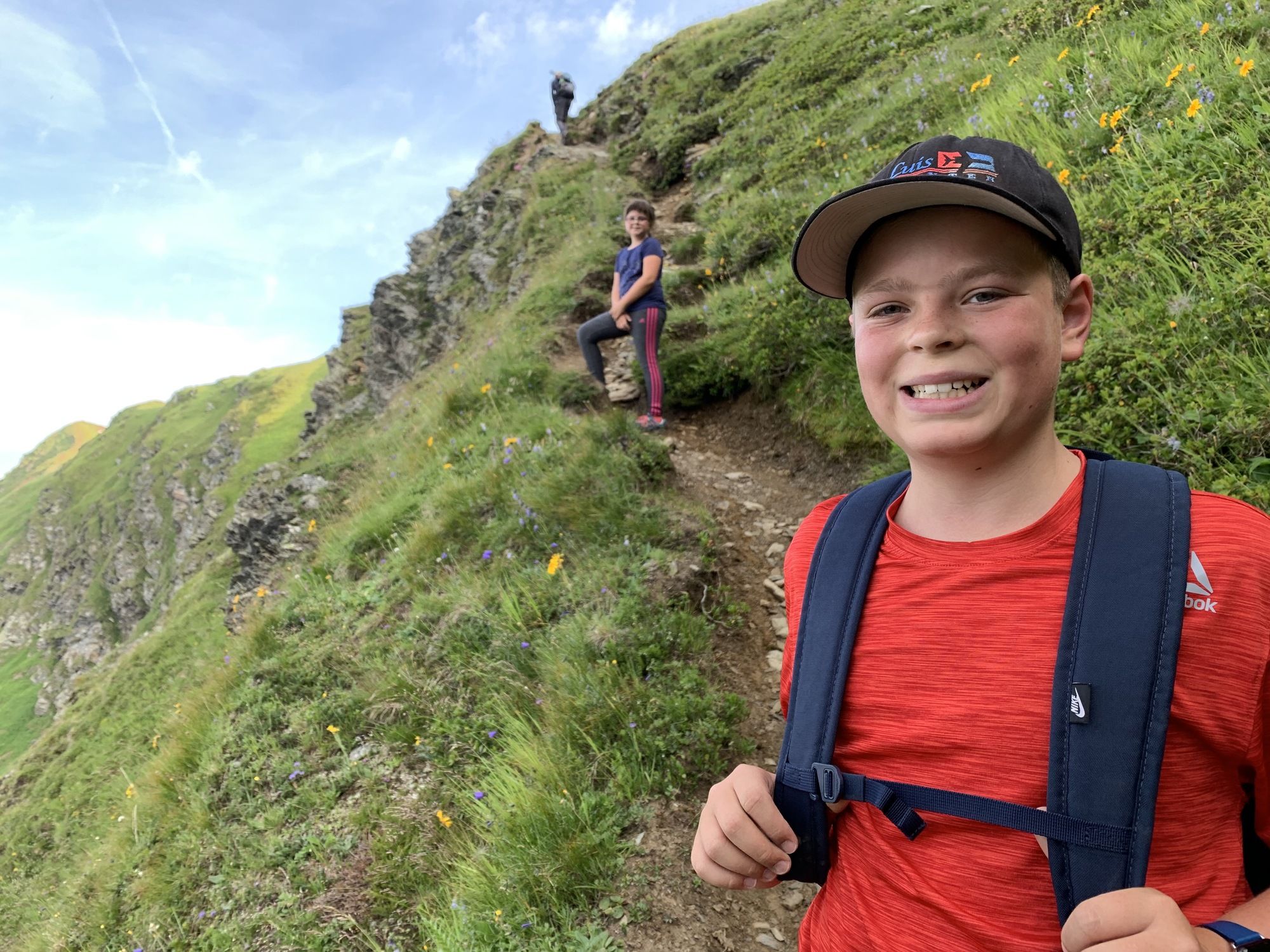
Allow a good three hours for the ascent and set off very early in the morning, as it can get warm quickly in summer even at high altitudes, and this route offers only a little shade in the lowest section. Suitable for children, provided they are sure-footed and fit; ours were aged 9 and 12 and had great fun on the hike. The views and surroundings are simply fascinating. Highly, highly recommended.






Twenger Alm
Oui
Oui
Oui
Oui
Hiking boots
Schaidberg - dedicated parking for hikers


Webcams de la tournée
-
Plattenkar
-
Grünwaldkopf
-
Zehnerkar
-
Seekar
-
Sporthotel Snowwhite
-
Hotel Cinderella
-
Sonnenterasse Edelweissalm
-
Hotel Garni Gloria
-
Lürzeralm
-
Hotel Kesselspitze
-
Hotel Schneider
-
Breitlehenalm
-
Gamsleiten
-
Hochalmkopf
-
Obertauern - Haus Petergstamm
-
Seekarhaus - Obertauern
-
Seekarhaus - Bergstation Seekarspitzbahn
-
Seekarhaus 3
-
Schaidberg
-
Zehnerkar
-
Obertauern - Aparthotel Weninger Alm
-
Obertauern - Hundskogel
-
Obertauern - Gamsleiten
-
Hotel “Der Sailer”
-
Gamsleiten
Obtenez un aperçu
Toujours en direct avec plus de 9.500 webcams. En tant qu'utilisateur Pro, vous pouvez désormais voir les webcams correspondantes à de nombreuses randonnées dans l'application de randonnées de bergfex. Vous pouvez ainsi voir directement les conditions actuelles.
Activités le long du parcours
-

Twenger Almsee, Gollitschspitze und grosses Gurpitscheck
05.08.2026 – Randonnée -
Tweng, Salzburg/Österreich
03.08.2026 – Randonnée -
Tweng, Salzburg/Österreich
31.07.2026 – Randonnée -

Tweng, Salzburg/Österreich
25.07.2026 – Randonnée -
Tweng, Salzburg/Österreich
24.06.2026 – Randonnée -

Großes Gurpitscheck
15.08.2025 – Randonnée -
Tweng, Salzburg/Österreich
12.08.2023 – Randonnée
Parcours populaires à proximité
-
4,2
Landawirseehütte (1.985 m)
moyenRandonnée 5,39 km -
4,8
Rundwanderweg von der Fallhausalm und Vögeialm übers Klamml zur Oberhütte am See
moyenRandonnée 10 km -
4,7
Steirische und Lungauer Kalkspitze über das Kranzl
difficileRandonnée 11,2 km -
4,8
Obertauern vers la cascade Johanneswasserfall
moyenRandonnée 9,39 km -
5,0
Twengsee
moyenRandonnée 9,66 km -
5,0
Doggotour von Hochwurzen zur Ursprungsalm
difficileRandonnée 16,0 km -
4,7
Reiteralmrunde
facileRandonnée 5,71 km -
4,6
Schladming - Hochgolling
difficileRandonnée 20,6 km -
4,5
Ursprungalm - Hochwurzen
moyenRandonnée 9,37 km -
4,3
Tauernkarsee
facileRandonnée 4,26 km
Randonnée et suivi


Ne manquez pas les offres et l'inspiration pour vos prochaines vacances
Votre adresse électronique a été ajouté à la liste de diffusion.





