
b | Mitterberg path
facile
Télécharge cette visite sur ton portable
b | Mitterberg path
facile
Randonnée
3,00
km
Scanner le code QR et commencer la navigation dans l'application bergfex


Randonnée & tracking





b | Mitterberg path
facile
Distance
3,00
km
Durée
01:00
h
Ascension
330
m
Altitude
857 -
1 208
m
Téléchargement de la piste
b | Mitterberg path
facile
Randonnée
3,00
km

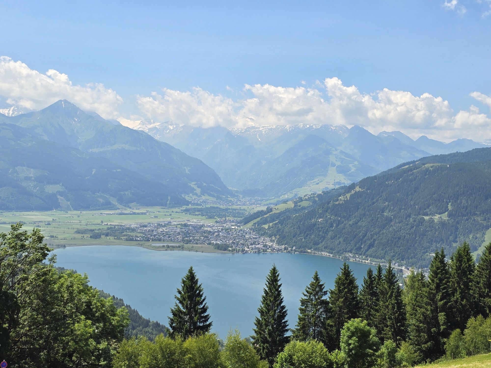
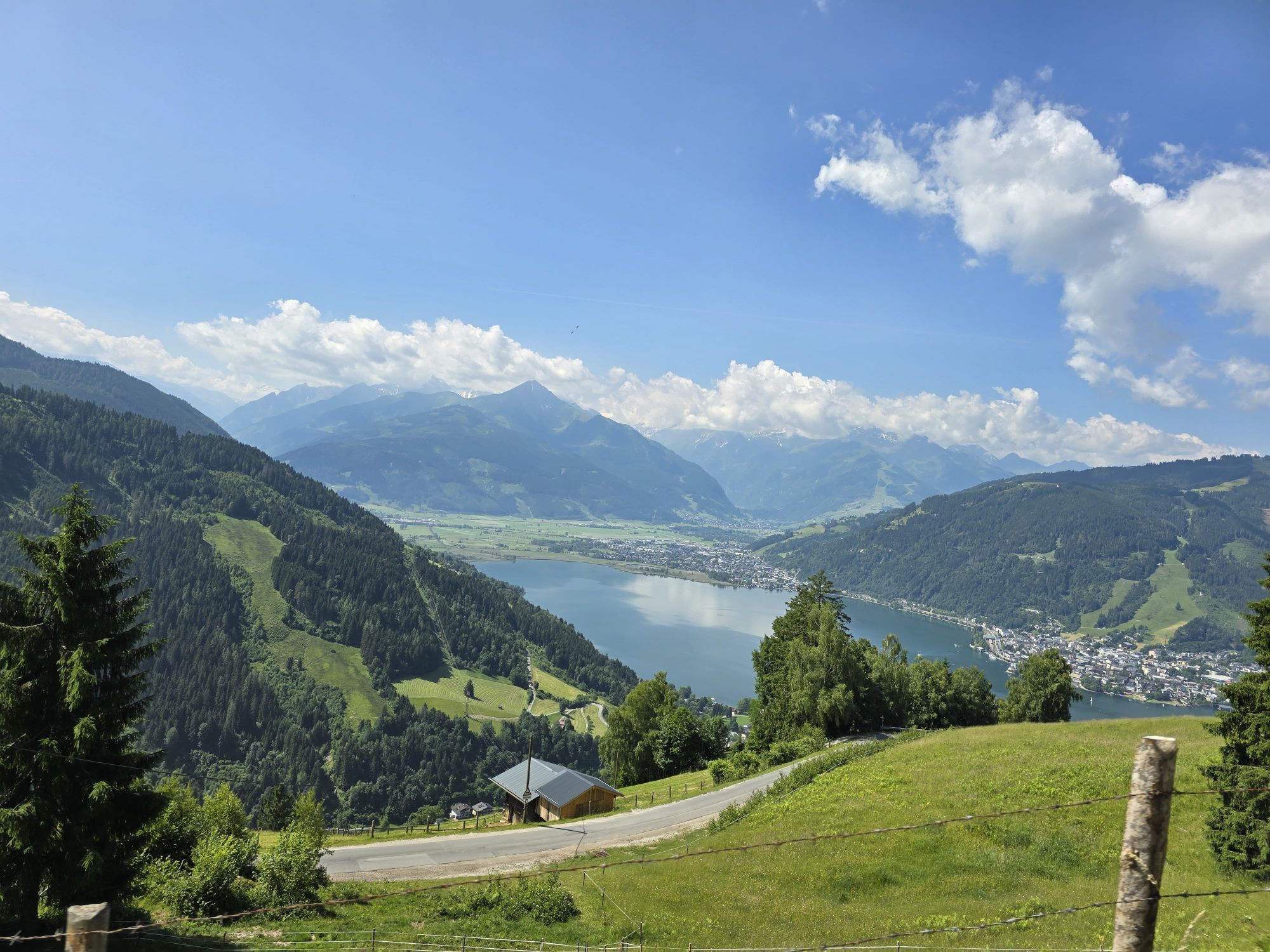
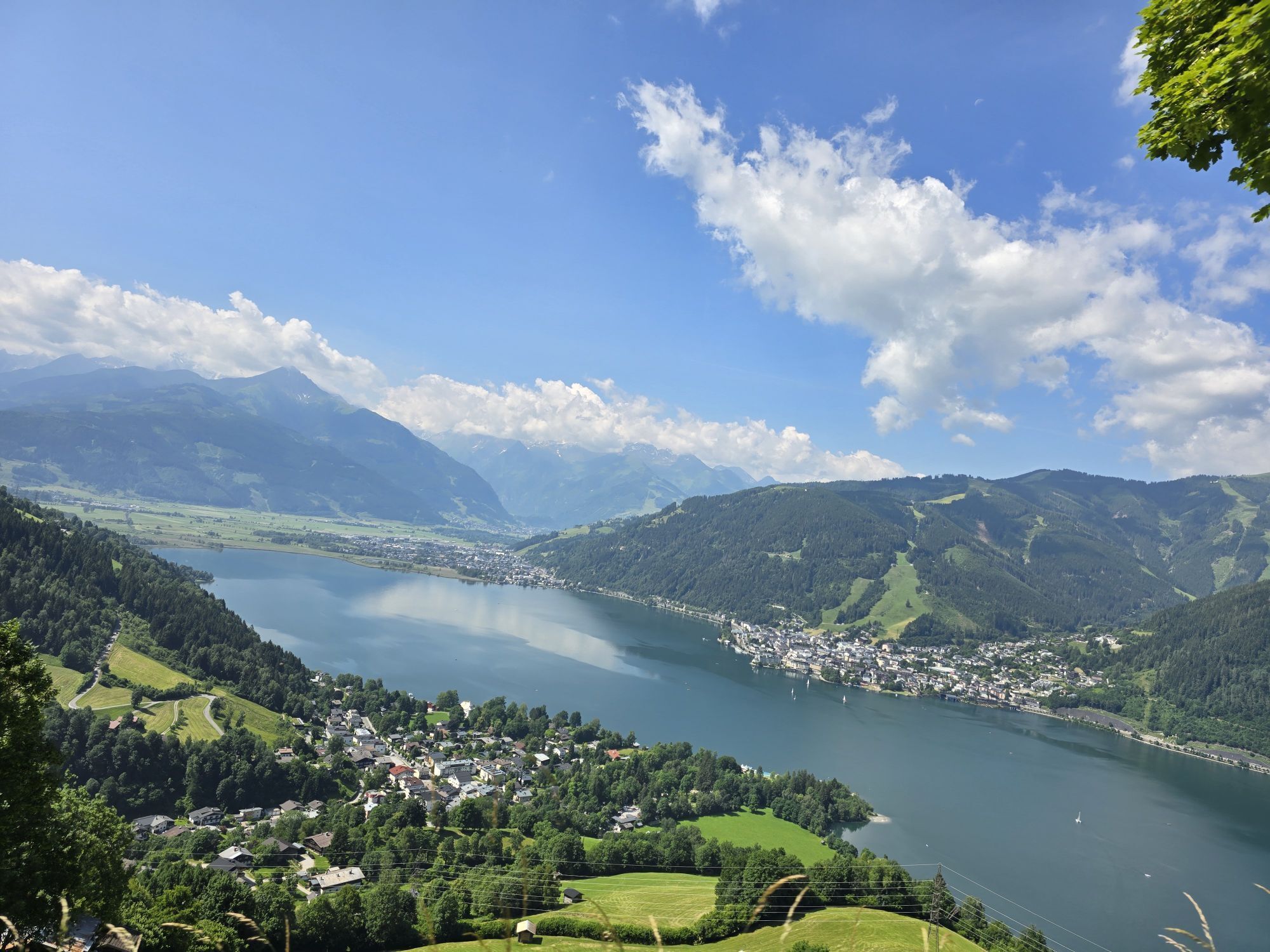
The starting point is the car park at the Ronachkopf signpost in Thumersbach. The paved path with a steady incline leads to the Mitterberg mountain inn with the Herz-Jesu chapel, accompanied by a magnificent...
Description
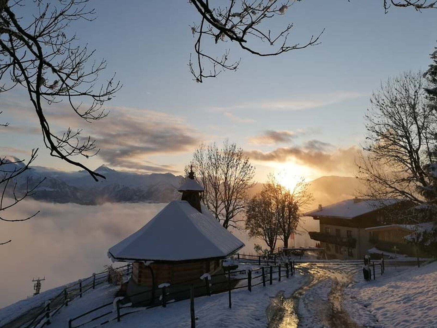
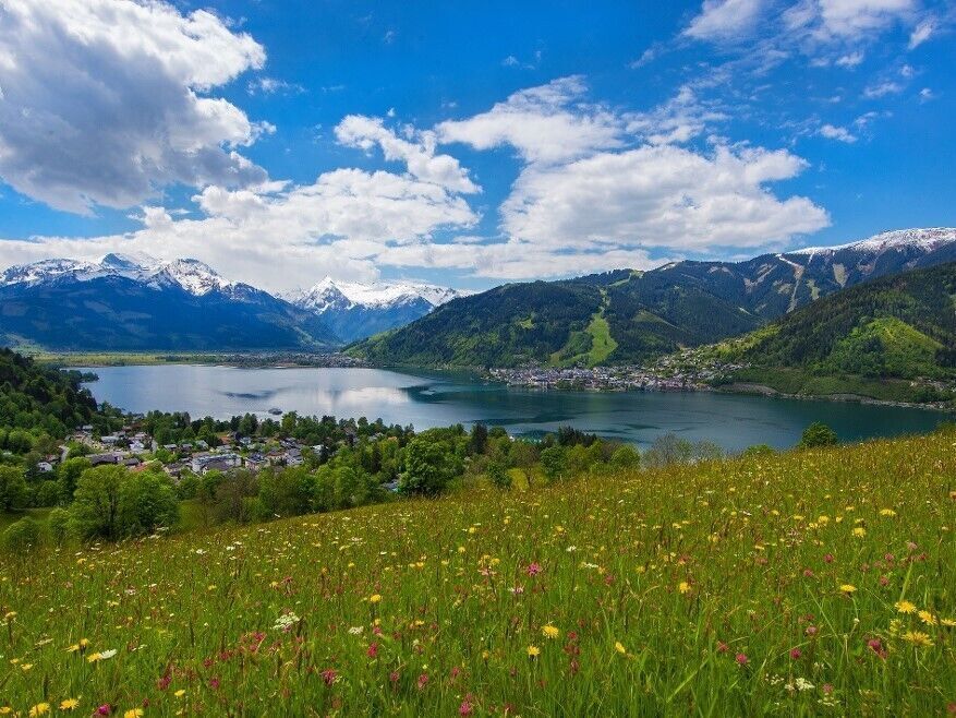
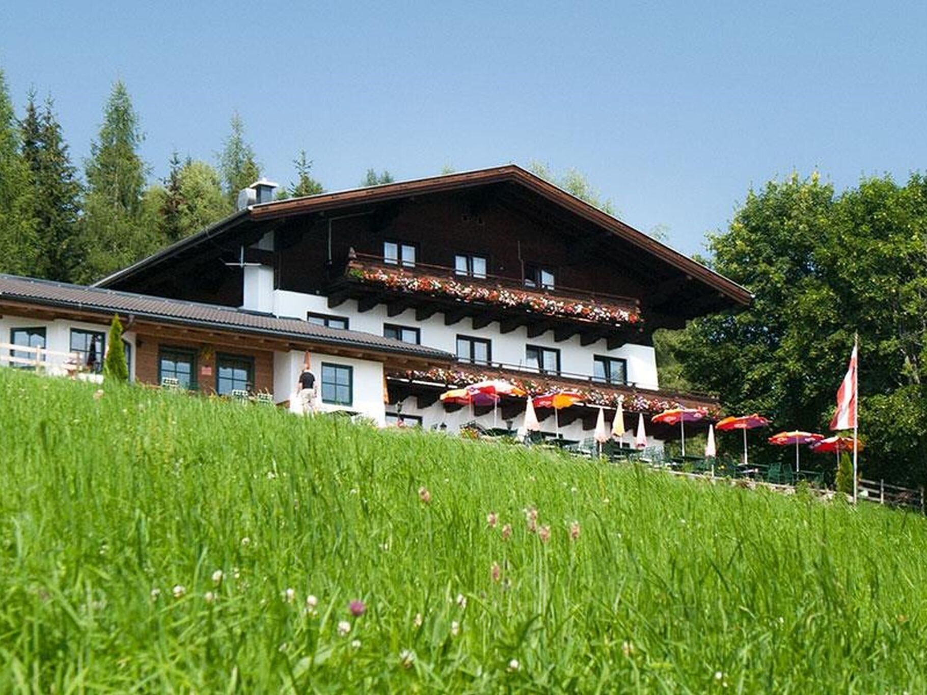
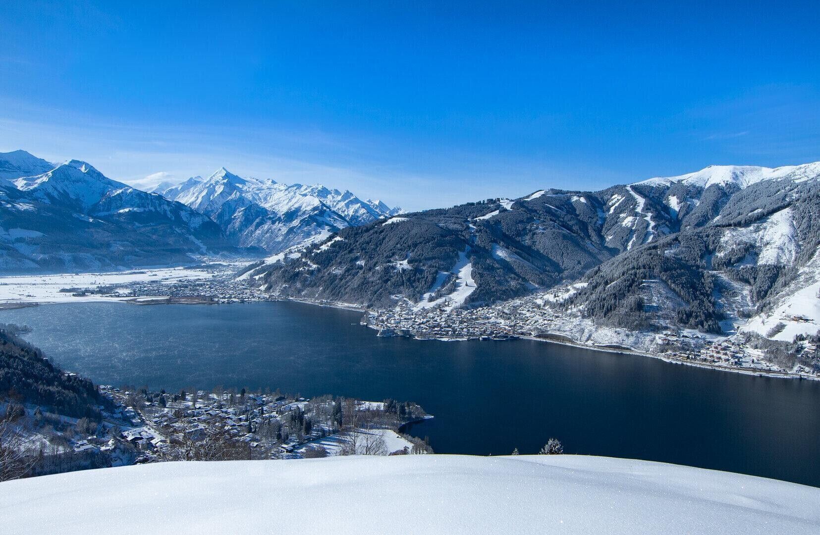
The starting point is the car park at the Ronachkopf signpost in Thumersbach. The paved path with a steady incline leads to the Mitterberg mountain inn with the Herz-Jesu chapel, accompanied by a magnificent view of Lake Zell.
Parcours
Herz-Jesu-Kapelle
(1 208 m)
Lieu de culte
2,8 km
Berggasthof Mitterberg
(1 205 m)
Restaurant
2,8 km
Mitterberghof
(1 205 m)
Restaurant
3,0 km
Parcours
b | Mitterberg path
facile
Randonnée
3,00
km
Herz-Jesu-Kapelle
(1 208 m)
Lieu de culte
2,8 km
Berggasthof Mitterberg
(1 205 m)
Restaurant
2,8 km
Mitterberghof
(1 205 m)
Restaurant
3,0 km


Informations sur l'itinéraire
Parcours
The path to the Mitterberghof has an even gradient and is sealed all the way.
Informations sur l'itinéraire
Transports en commun
From Zell am See, take bus 70 to Thumersbach.
Parking
At the start of the Ronachkopf ski touring route, ‘Ronachkopf information board’.
Infos complémentaires & conseils
Informations supplémentaires
Pas encore d'évaluation
Obtenez un aperçu Toujours en direct avec plus de 9.500 webcams. En tant qu'utilisateur Pro, vous pouvez désormais voir les webcams correspondantes à de nombreuses randonnées dans l'application de randonnées de bergfex. Vous pouvez ainsi voir directement les conditions actuelles.Parcours populaires à proximité
- 4,4
Maria Alm - Riemannhaus
Randonnée 3,99 km - 4,6
Steinalm
facileRandonnée 2,71 km - 4,8
Point fort : parcours classique des gorges de Kitzloch
moyenRandonnée 2,02 km - 4,3
Schwalbenwand Nr. 80, 81, 82
moyenRandonnée 13,0 km - 4,5
Cabane Peter-Wiechenthaler
moyenRandonnée 4,32 km - 4,9
Breithorn
moyenRandonnée 10,0 km - 4,8
Sigmund Thun Klamm, Klammsee, Bürgkogel
facileRandonnée 4,56 km - 4,2
Via ferrata Persailhorn sud
moyenVia ferrata 6,83 km - 4,4
Randonnée des alpages et refuges "Hochmaisalm & Steinbockalm"
moyenRandonnée 8,10 km - 4,2
Maurerkogel (Top)
Randonnée 10,5 km
Randonnée et suivi

Plus de 550.000 propositions de circuits, des cartes détaillées et un planificateur d'itinéraire intuitif font de cette application un must pour tous les passionnés de nature.

Ne manquez pas les offres et l'inspiration pour vos prochaines vacances
S'inscrire à la newsletter
Erreur
Une erreur s'est produite. Veuillez réessayer.Merci pour votre inscription
Votre adresse électronique a été ajouté à la liste de diffusion.
Parcours en Europe
Autriche Suisse Allemagne Italie Slovénie France Pays-Bas Belgique Pologne Liechtenstein République tchèque Slovaquie Espagne Croatie Bosnie-Herzégovine Luxembourg Andorre Portugal Islande Royaume-Uni Irlande Grèce Albanie Macédoine du Nord Malte Norvège Monténégro Moldavie Kosovo Hongrie Saint-Marin Roumanie Estonie Lettonie Bélarus Chypre Lituanie Serbie Bulgarie Monaco Danemark Suède Finlande





