


Hiking tour to the Salzburger Hütte
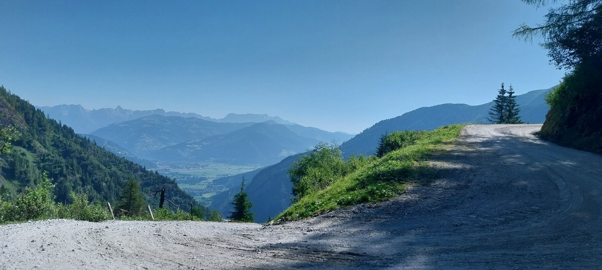
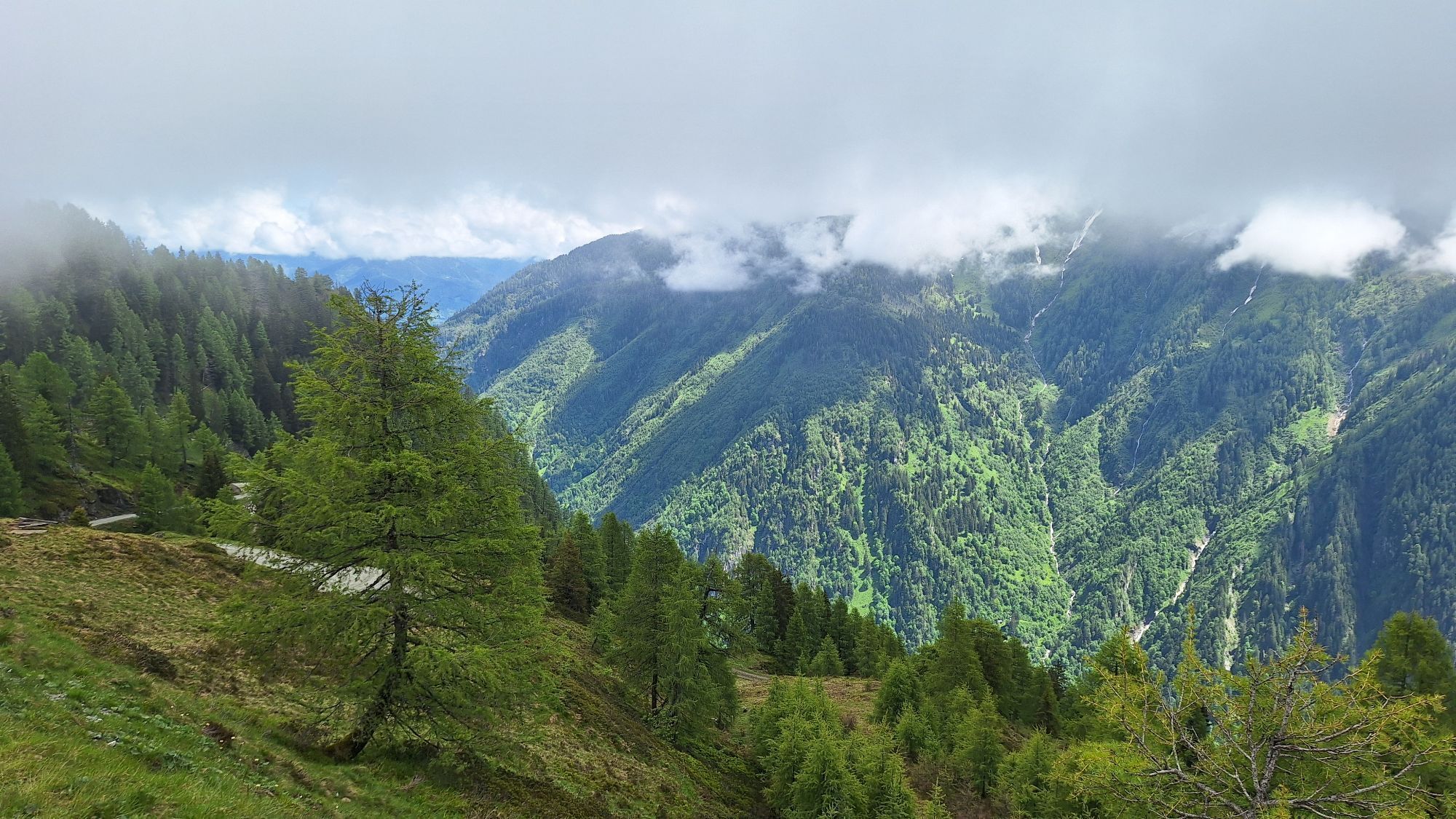
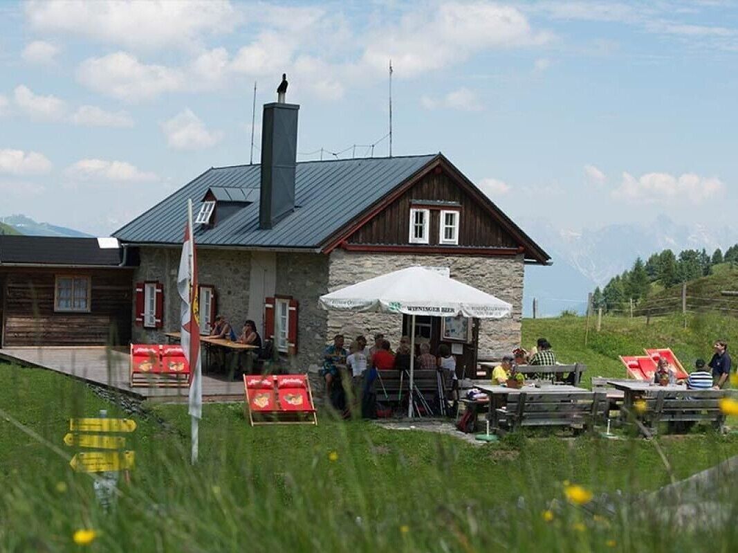
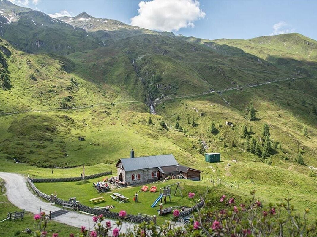
The hike starts at the Hinterwald bus stop and leads along the Grubbach stream through the forest up to the Salzburger Hütte. About 500 metres after the Klammsee lake, the trail branches off to the right...
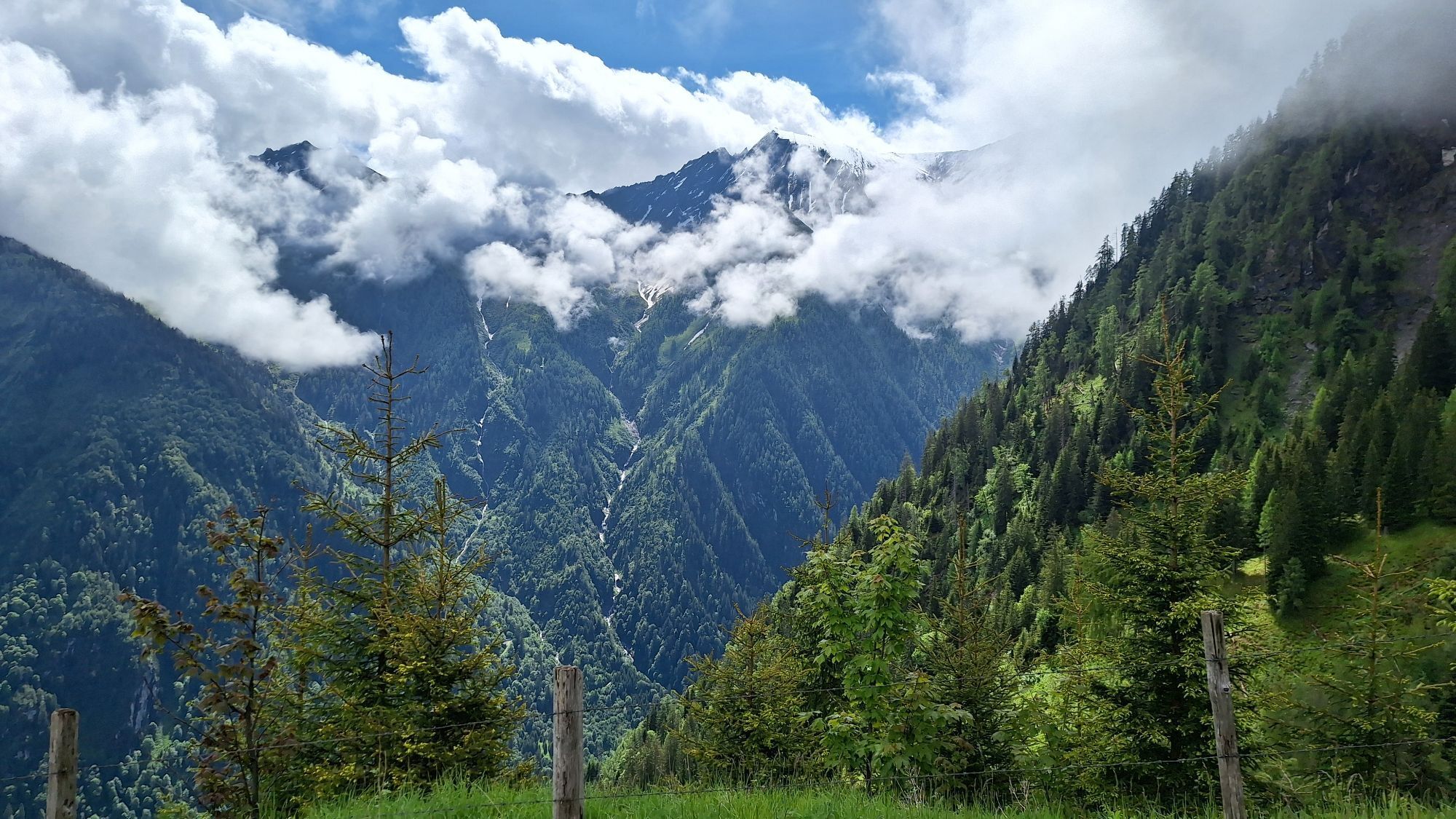
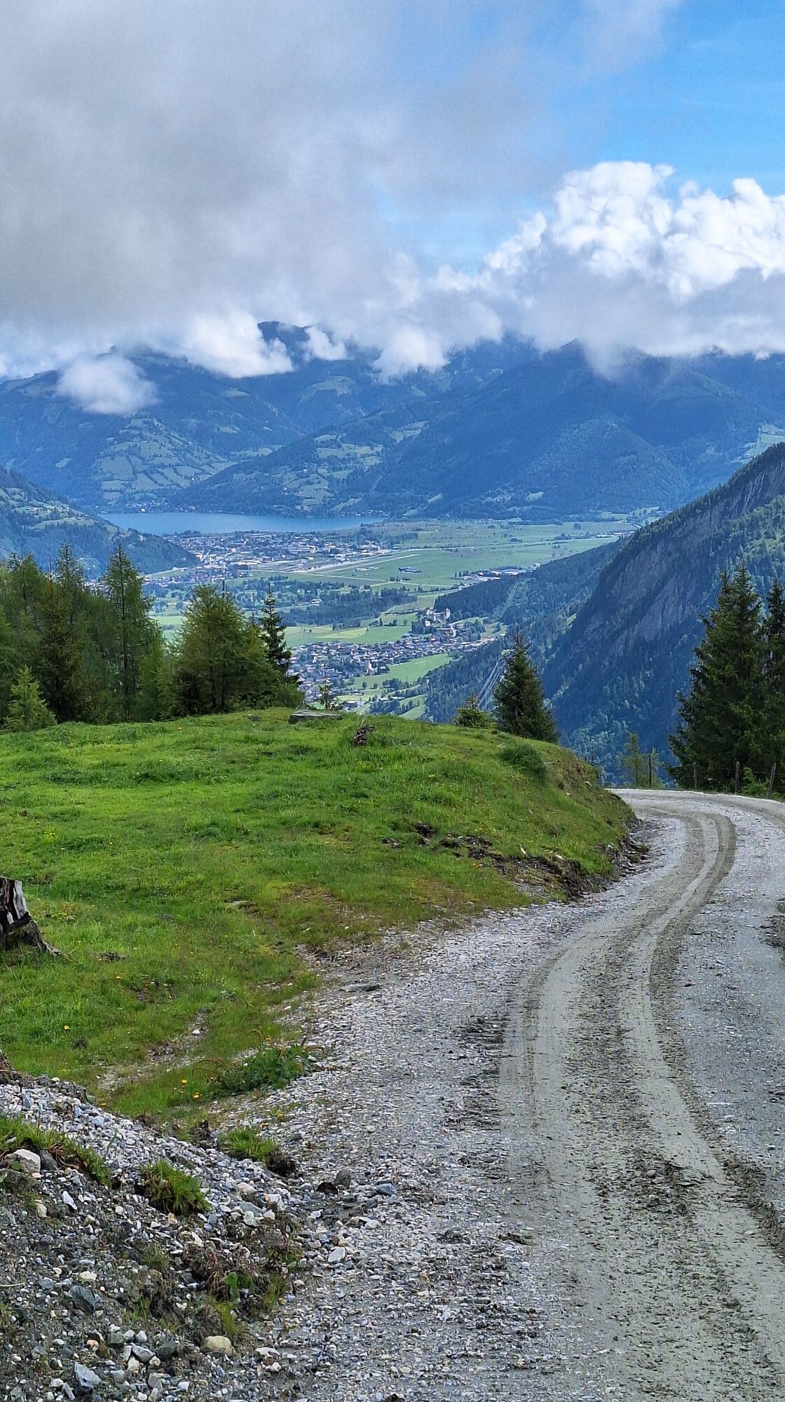
The hike starts at the Hinterwald bus stop and leads along the Grubbach stream through the forest up to the Salzburger Hütte. About 500 metres after the Klammsee lake, the trail branches off to the right and runs over the Hinterwallberg to the Ederalm, continuing through the Grubbachkar and along the Grubbach stream to the hut. About a 30-minute walk above the Salzburger Hütte is the Langwied mountain station, from where you can easily return by mountain railway.

The hike starts at the Hinterwald bus stop and leads along the Grubbach stream through the forest up to the Salzburger Hütte. About 500 metres after the Klammsee lake, the trail branches off to the right and runs over the Hinterwallberg to the Ederalm, continuing through the Grubbachkar and along the Grubbach stream to the hut. About a 30-minute walk above the Salzburger Hütte is the Langwied mountain station, from where you can easily return by mountain railway.
Sturdy shoes and hiking poles are recommended.
your individuel arrival possibilites.
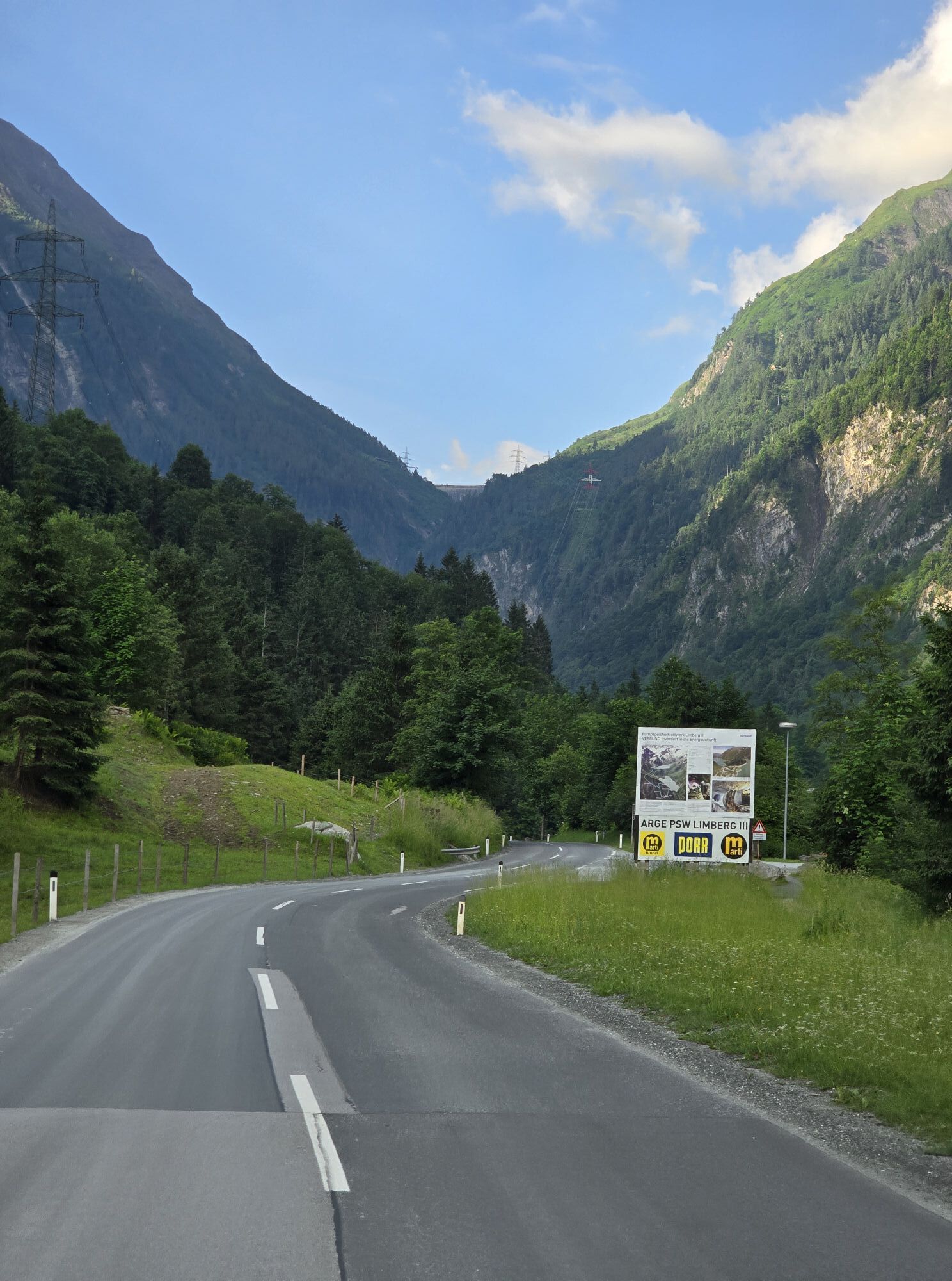
Bus stop: Hinterwald
Kitzsteinhorn car park
about 30 walking minutes above the Salzburger hut is the mountain station Langwied. Return with the glacier tracks possible.
Parcours populaires à proximité
- 4,8
Sigmund Thun Klamm, Klammsee, Bürgkogel
facileRandonnée 4,56 km - 4,5
Sigmund Thun Klamm
facileRandonnée 3,10 km - 4,0
Maurerkogel (Top)
Randonnée 10,5 km - 4,9
Hochsonnberg Runde
moyenVTT 59,8 km - 4,4
Thumersbach, Runde um den Zeller See
facileRandonnée 13,3 km - 4,9
Großes Wiesbachhorn 3564 mnv Kaprun, Austrija
difficileRandonnée 13,4 km - 5,0
Parcours panoramique 3 sommets et 2 lacs
moyenRandonnée 7,35 km - 3,9
Großglockner Hochalpenstrasse
difficileFaire du vélo 20,2 km - 4,6
3 Oktober Fusch Walcher Grung und Hohalm
moyenRandonnée 8,57 km - 4,3
Bruck : 732+736+730 | Drei Brüder
difficileRandonnée 16,1 km
Randonnée et suivi


Ne manquez pas les offres et l'inspiration pour vos prochaines vacances
Votre adresse électronique a été ajouté à la liste de diffusion.