


Alexander Enzinger trail to Kaprun Centre
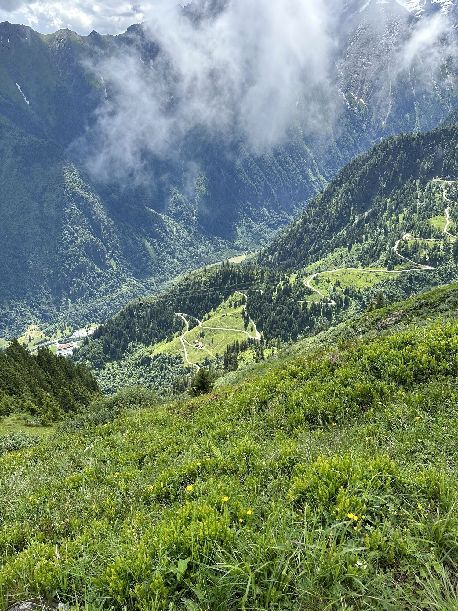


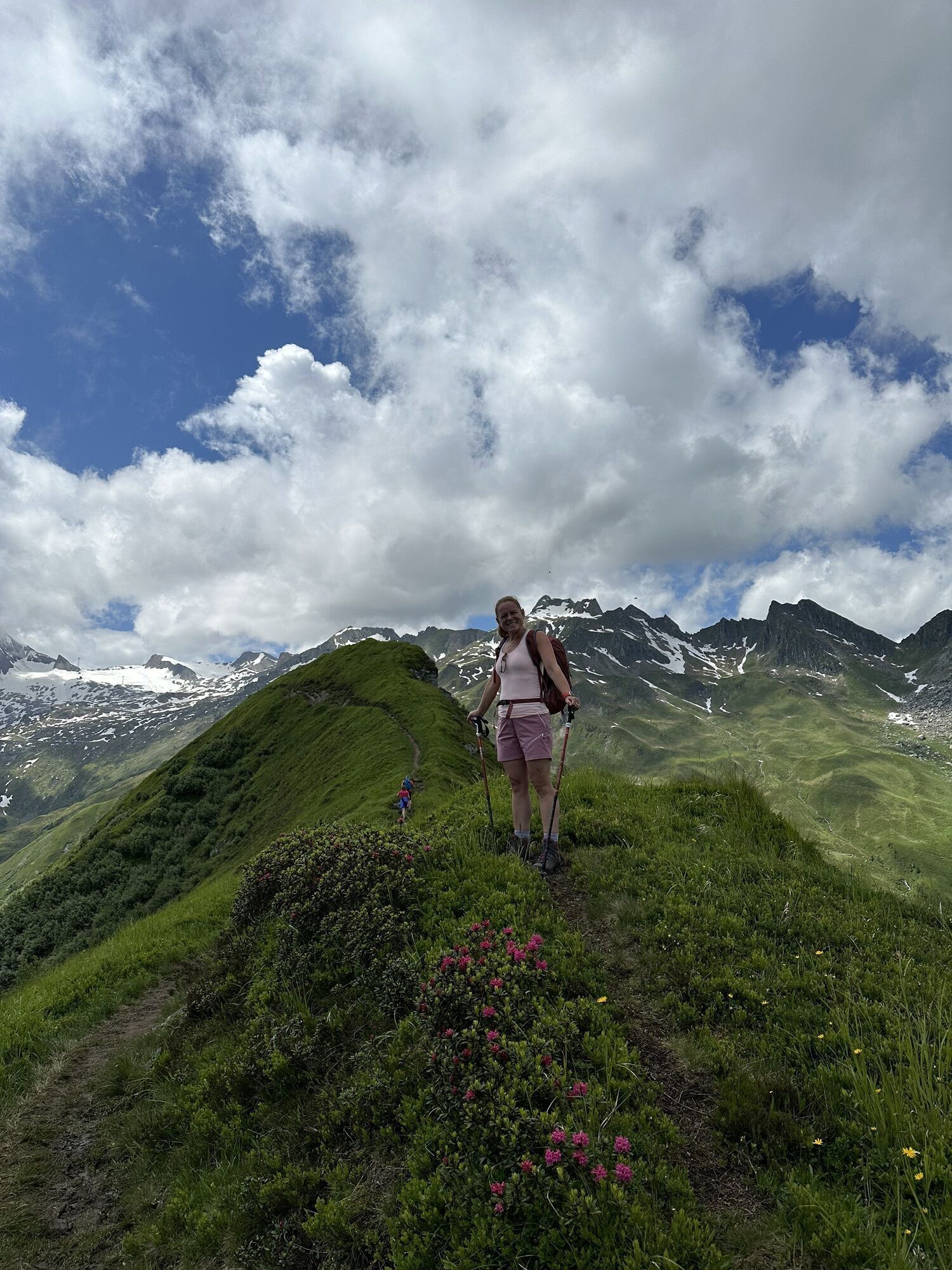
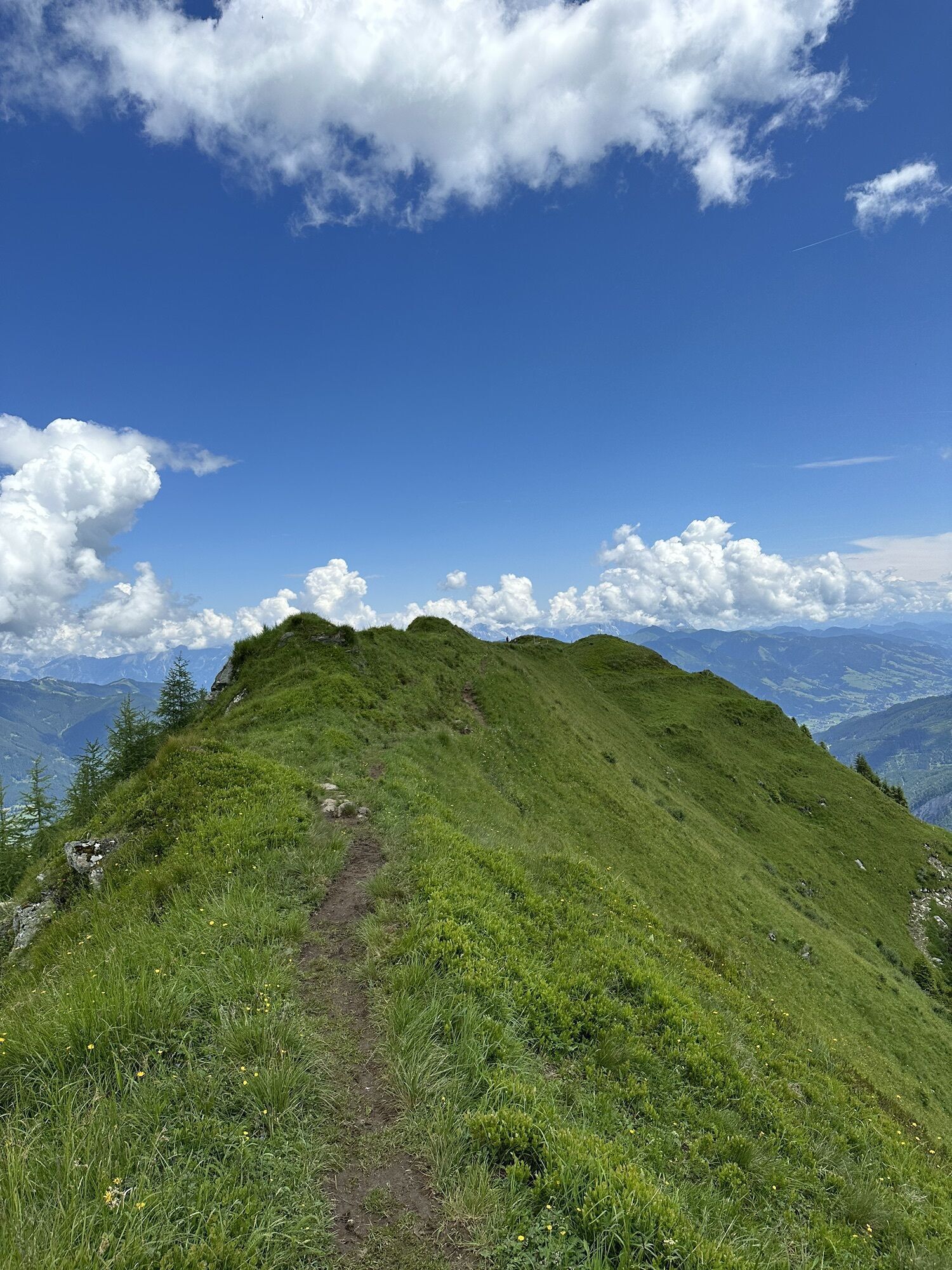
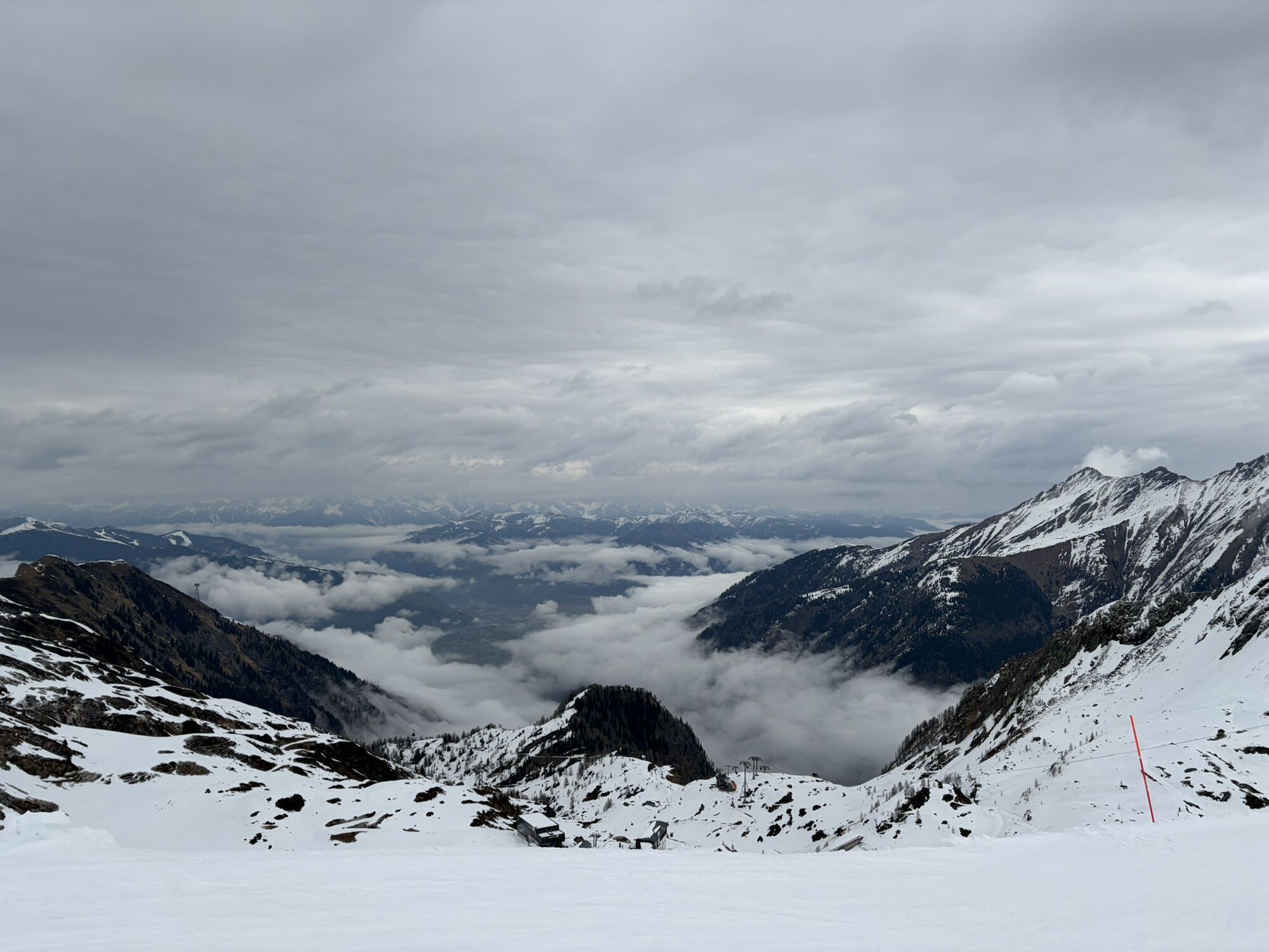
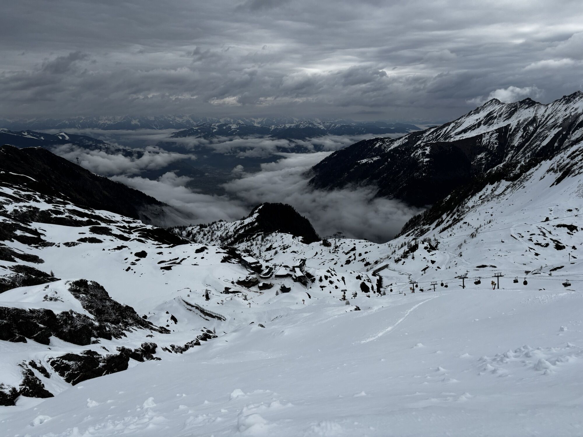
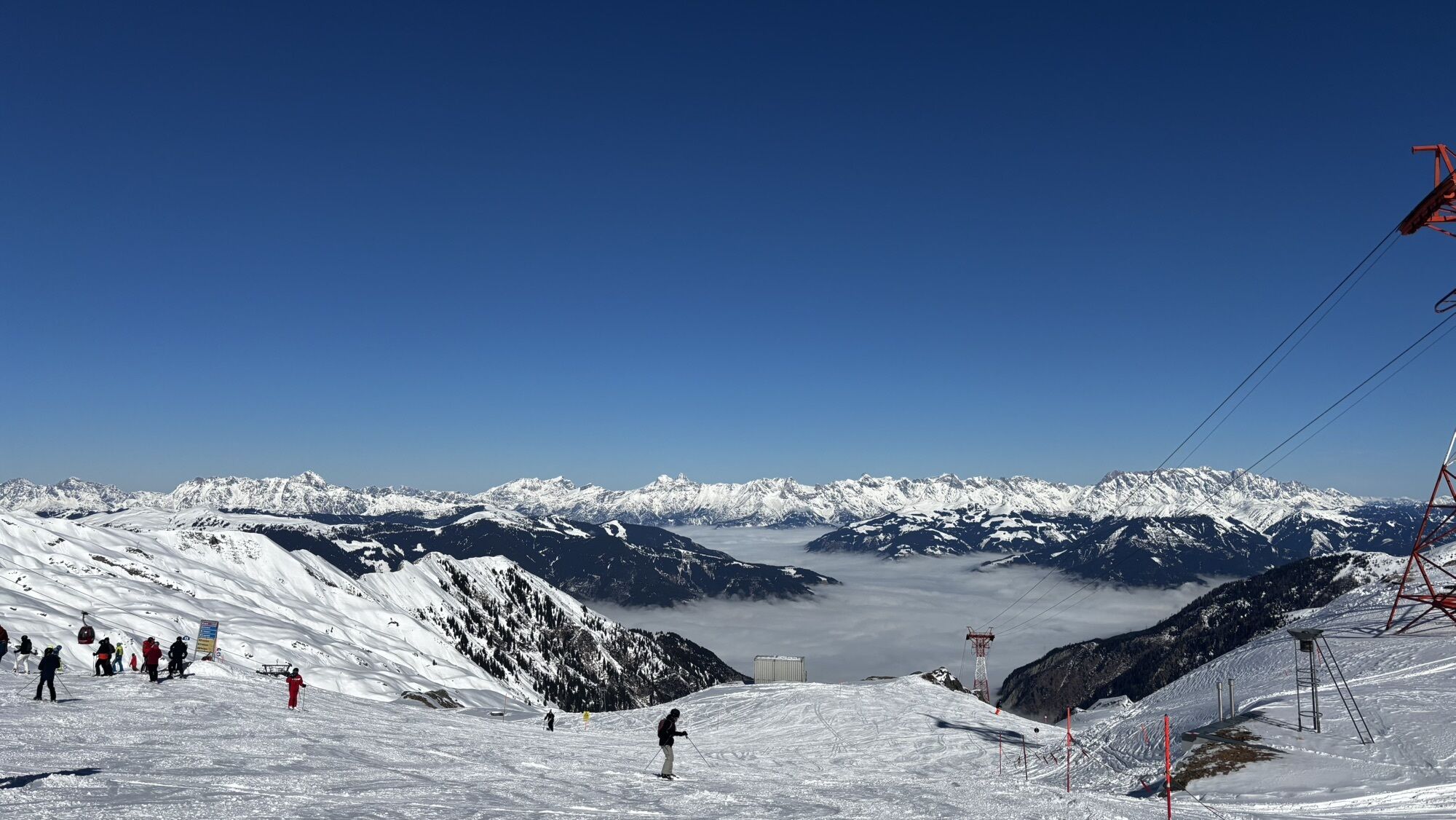
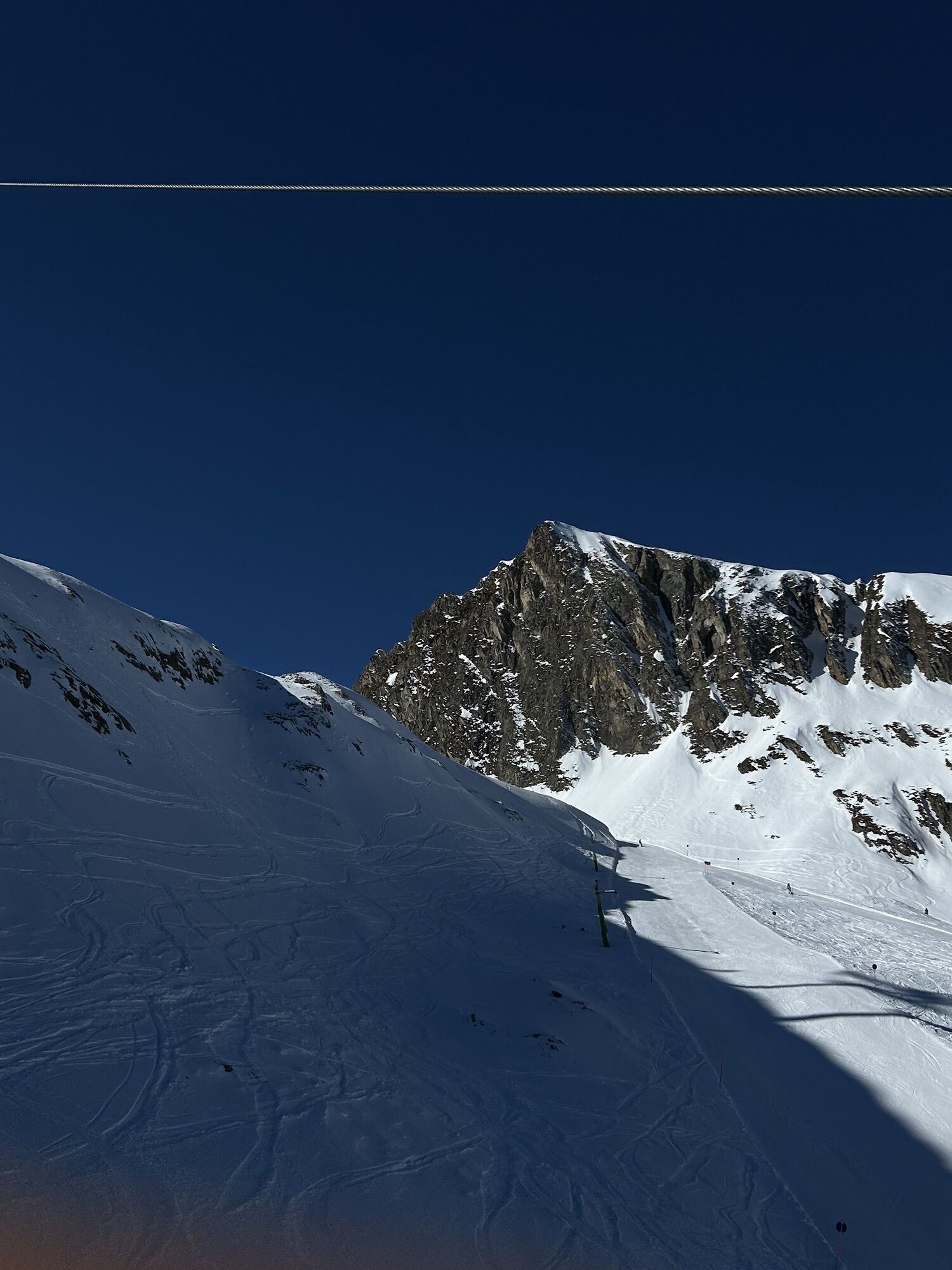
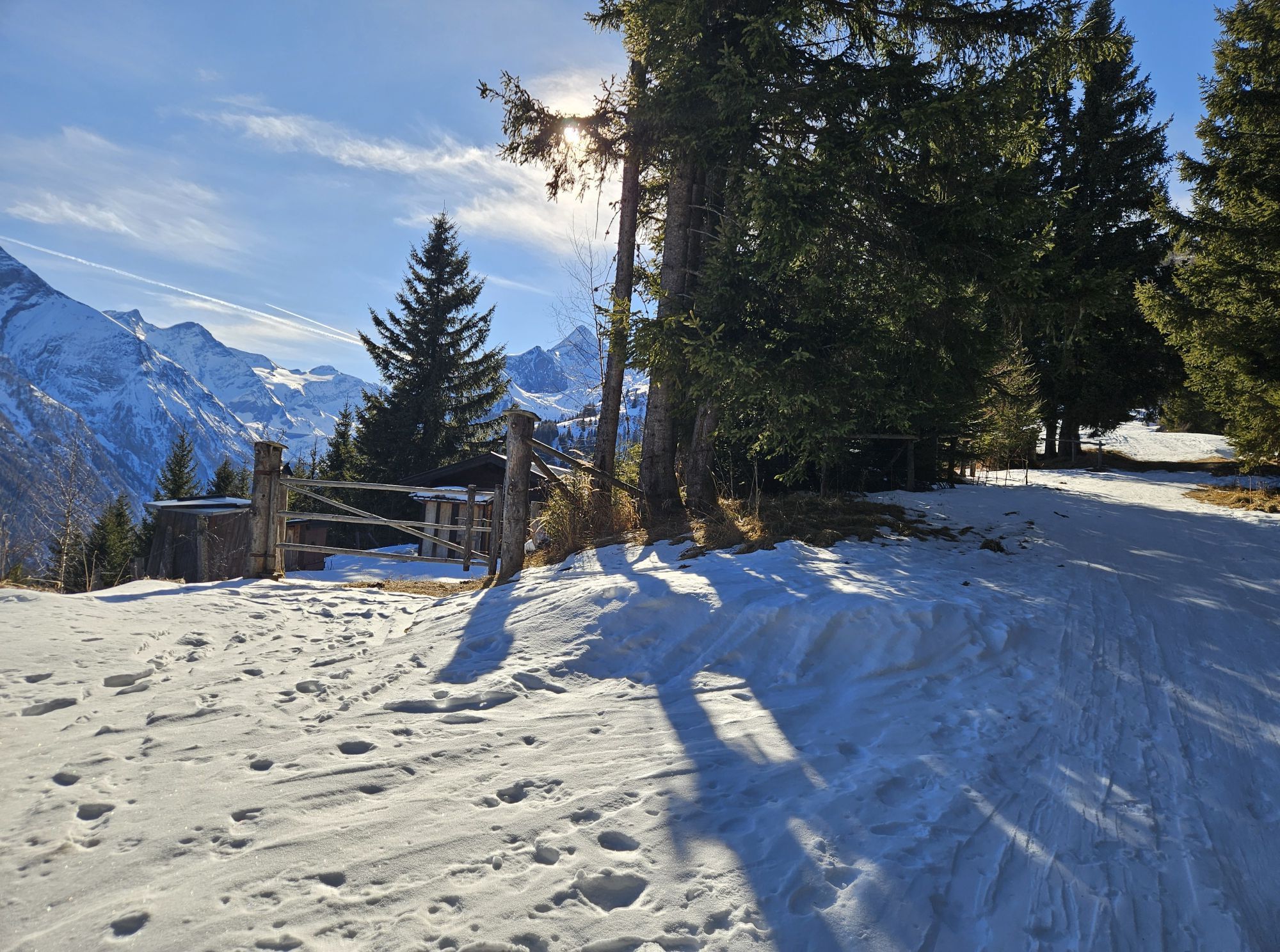
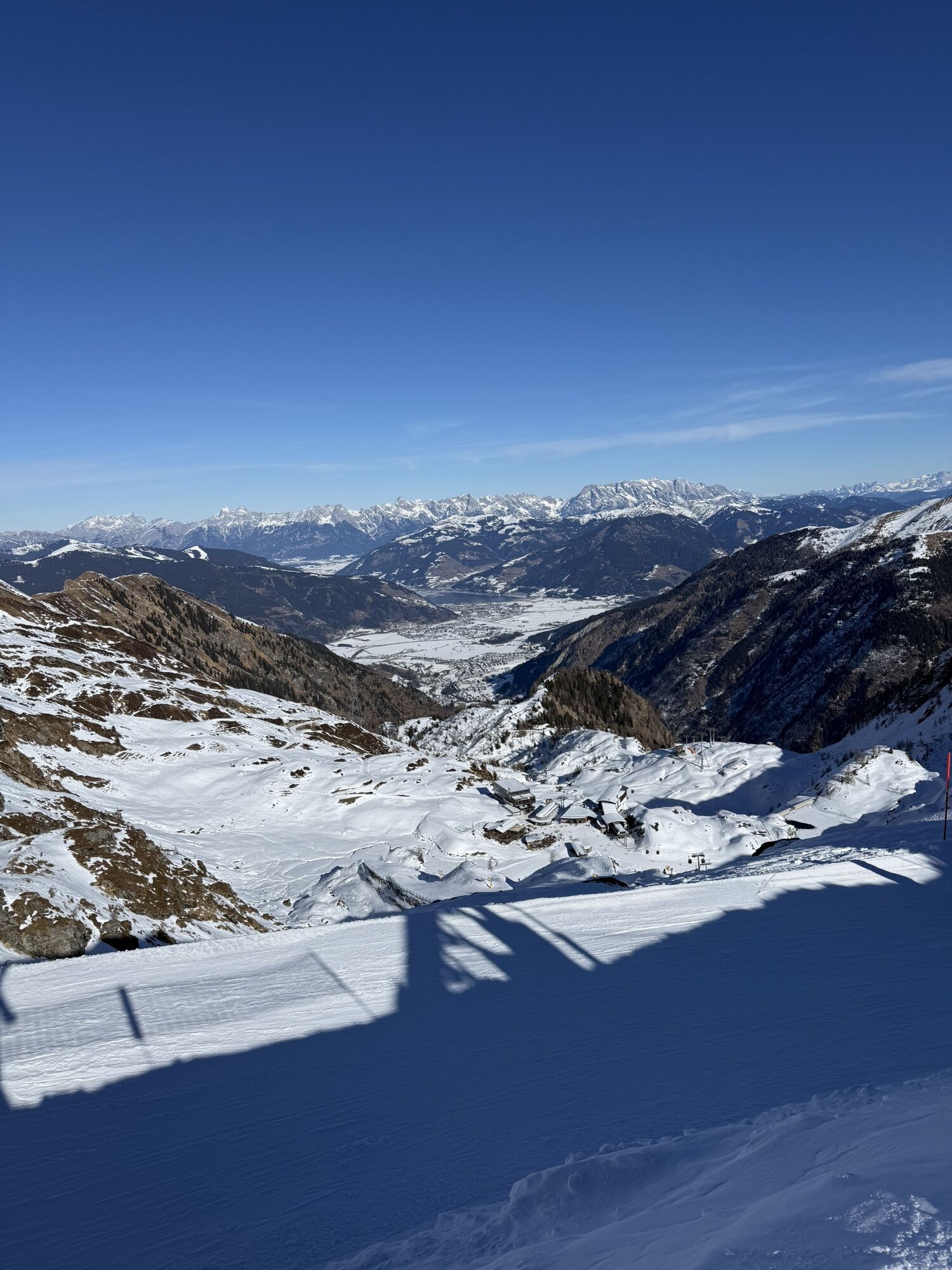
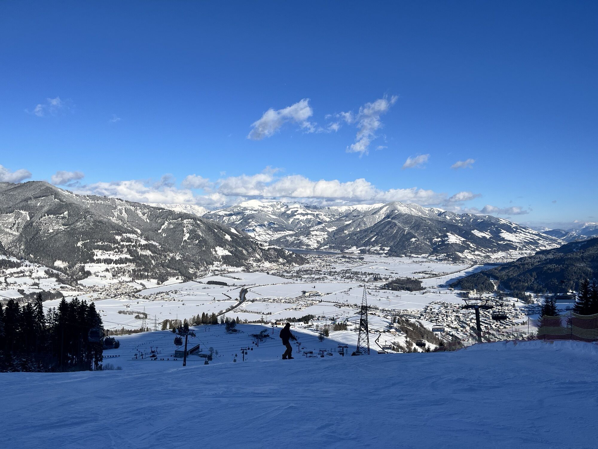
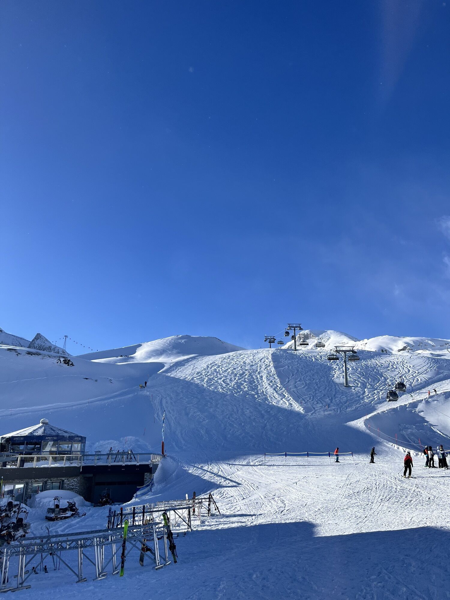
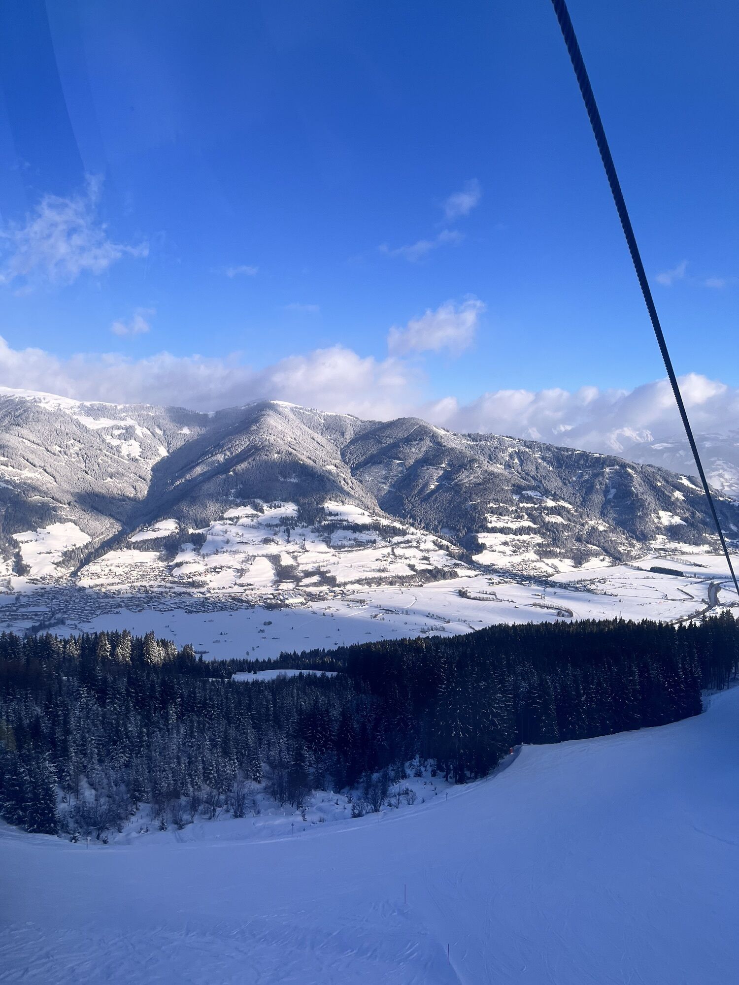
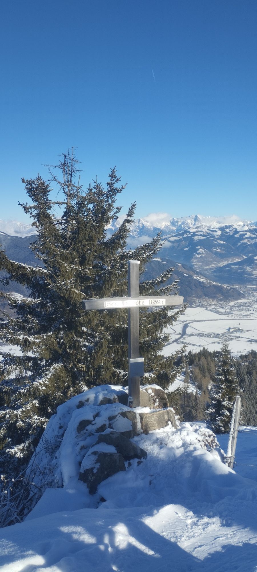
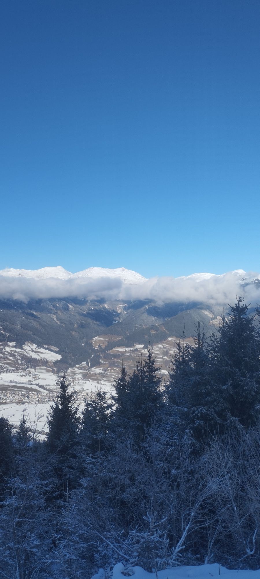
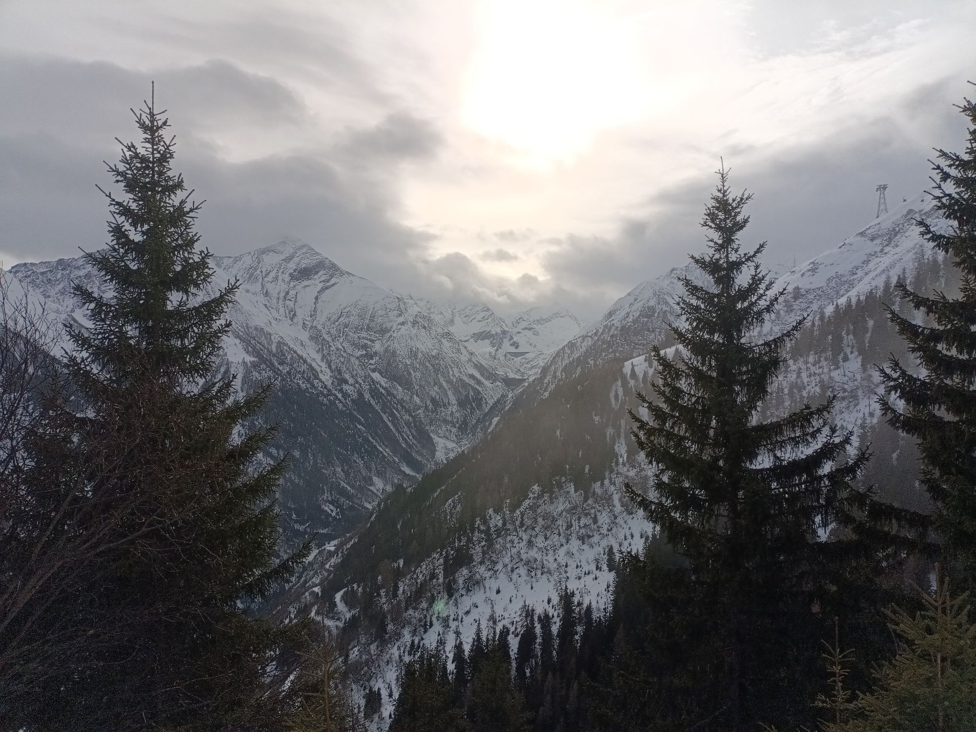

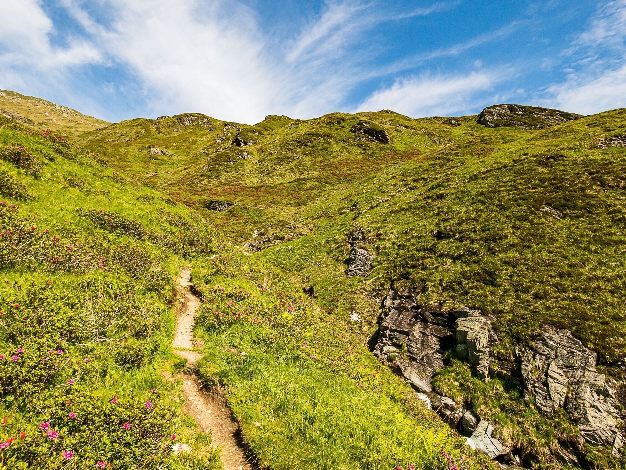
The Alexander Enzinger Trail begins at the Alpine Centre at 2,452 metres and follows the high-altitude trail towards the Krefelder Hut. Via the impressive Grubalmkar, past Lakarschneid and Triskogel, the...
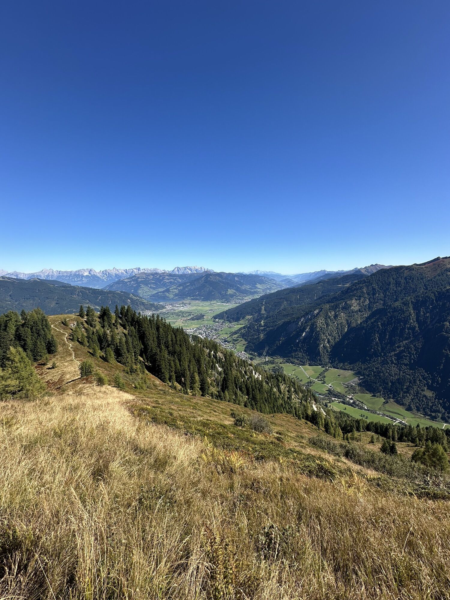
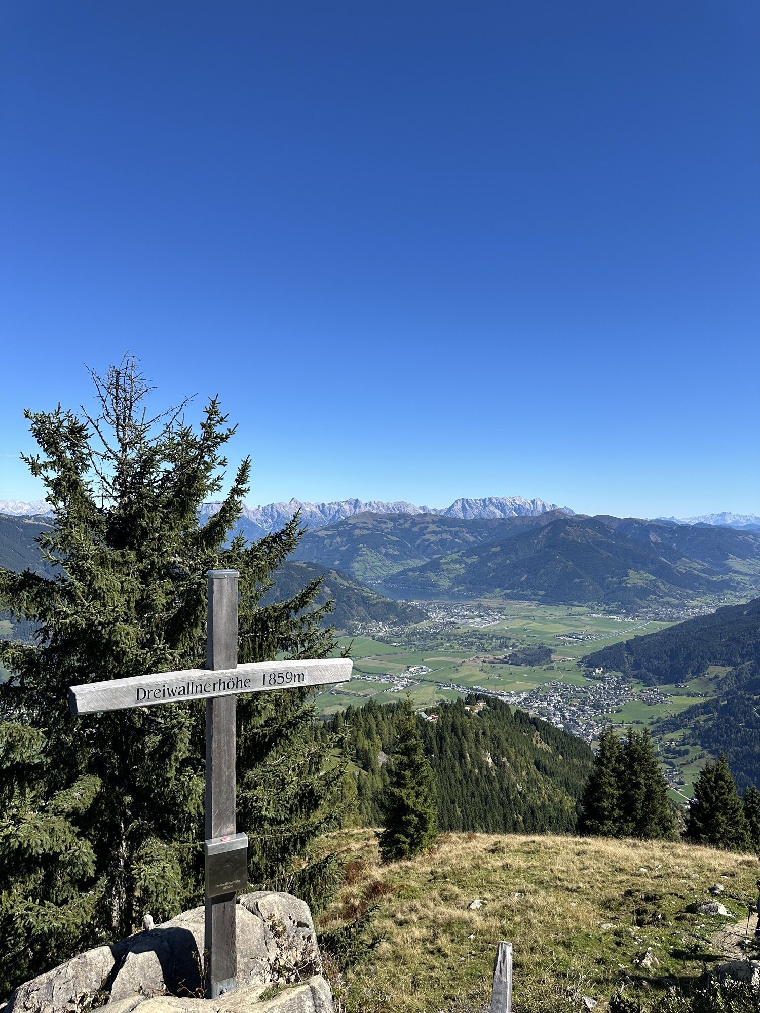
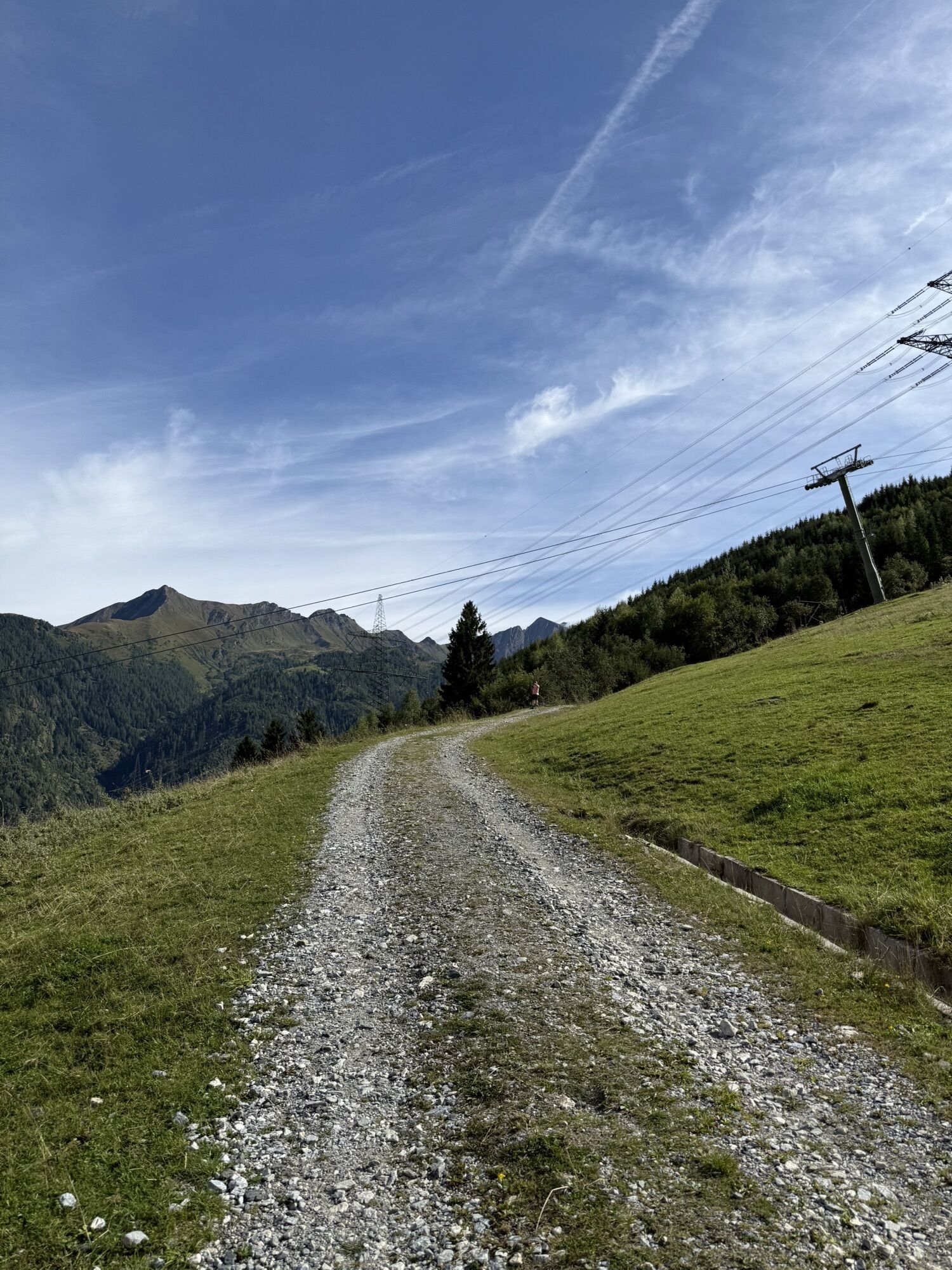
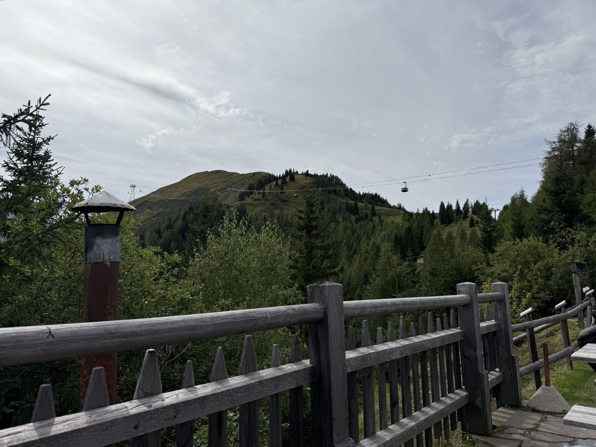
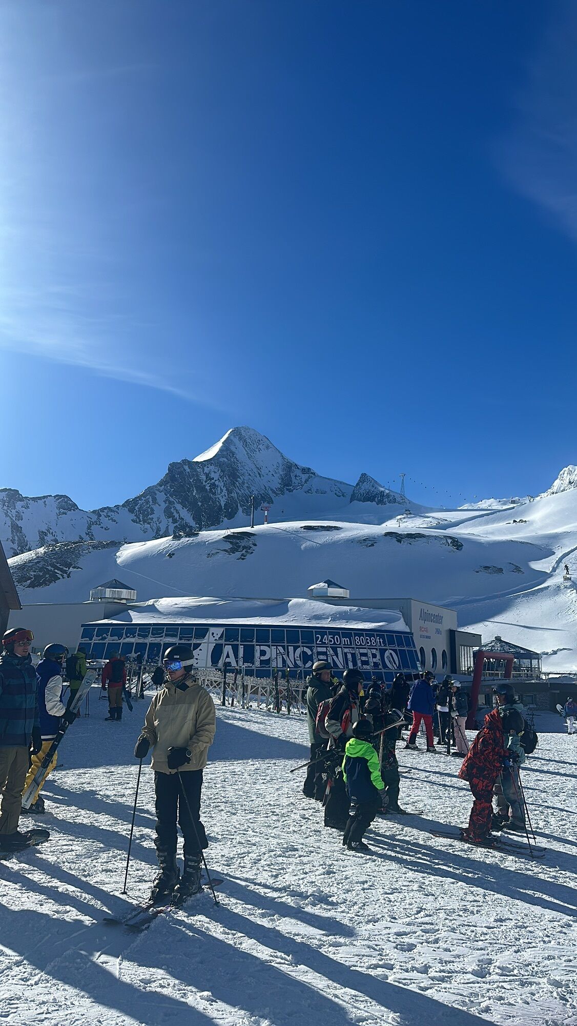
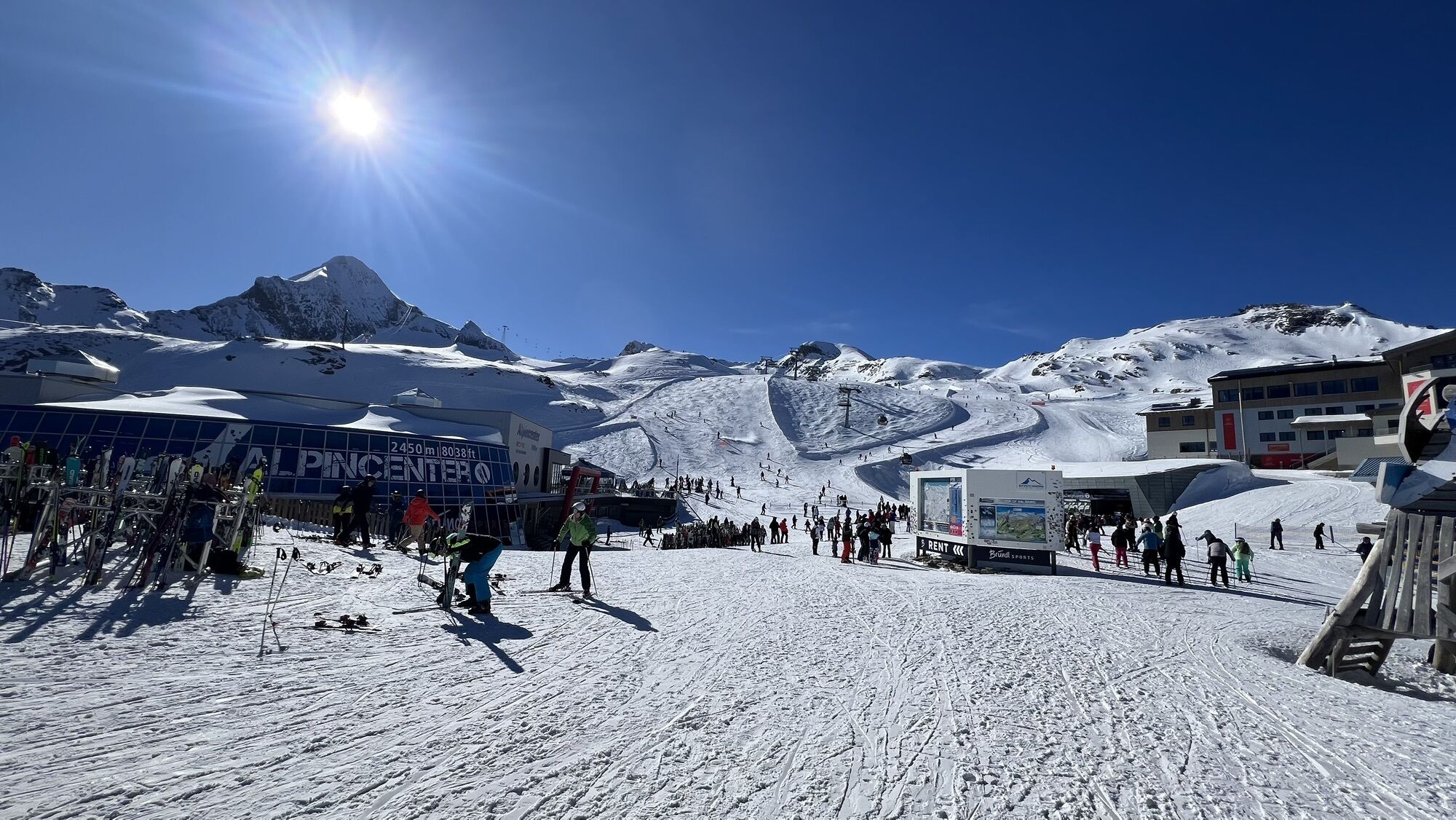
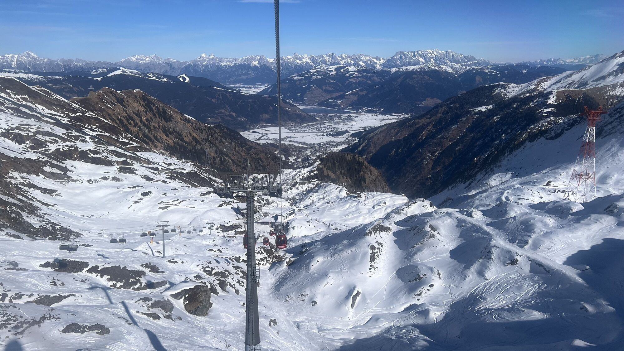
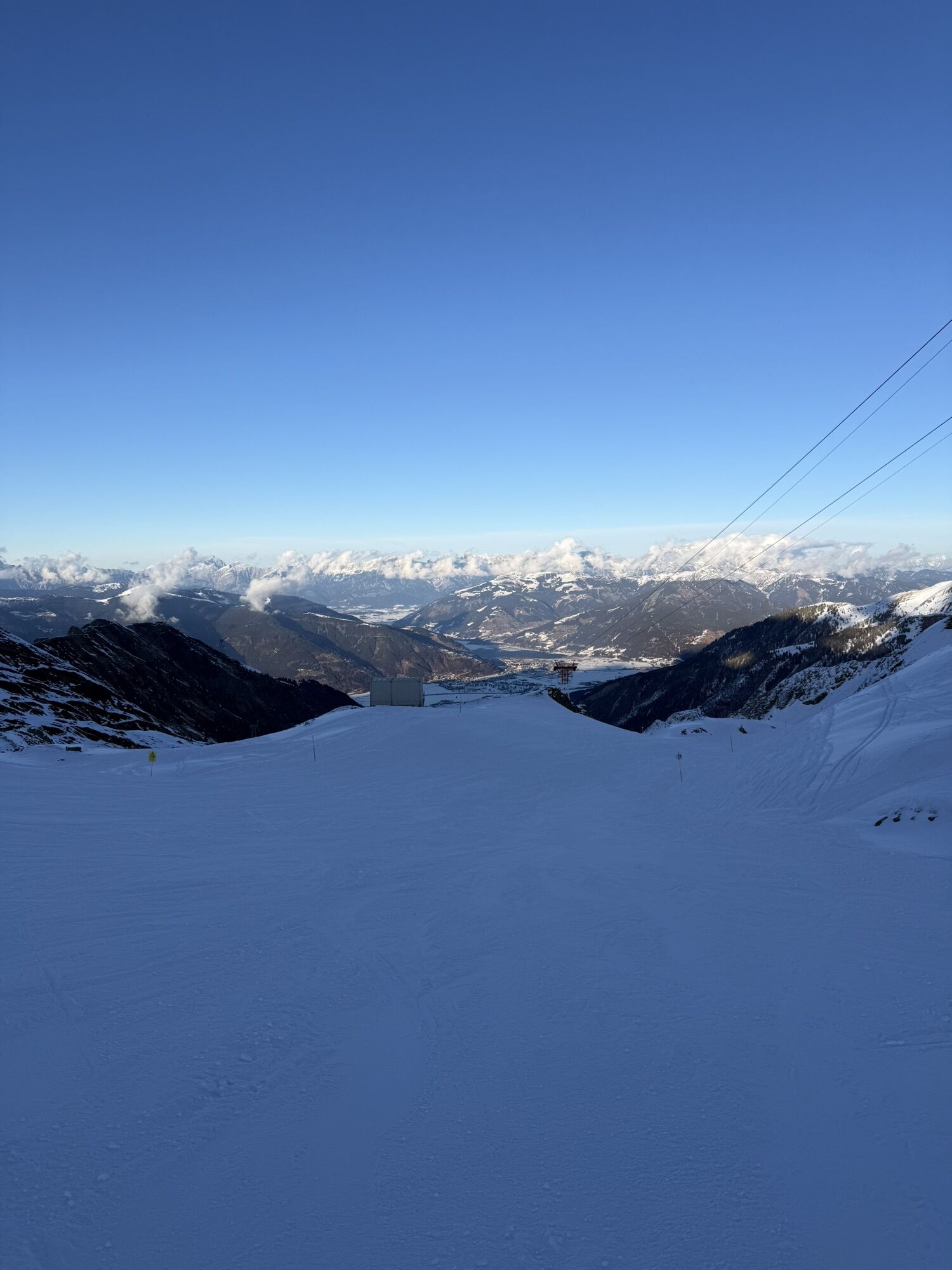
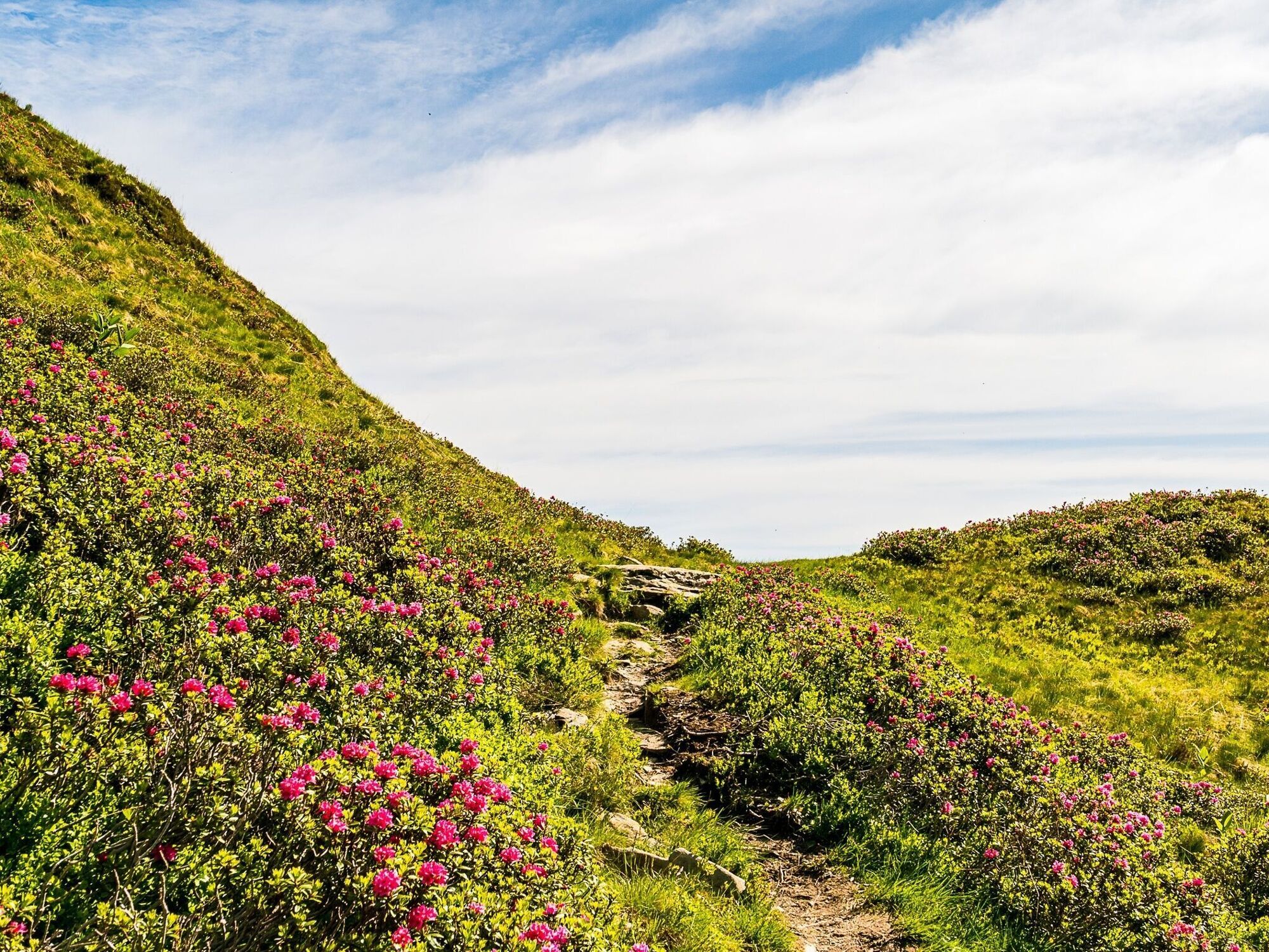
The Alexander Enzinger Trail begins at the Alpine Centre at 2,452 metres and follows the high-altitude trail towards the Krefelder Hut. Via the impressive Grubalmkar, past Lakarschneid and Triskogel, the route runs via Stangerhöhe, Schoppbachhöhe and Dreiwallner-Höhe to the Glocknerblick Hut. From there, the hike continues to the mountain station of the MK Maiskogelbahn. This is followed by the descent into the valley.
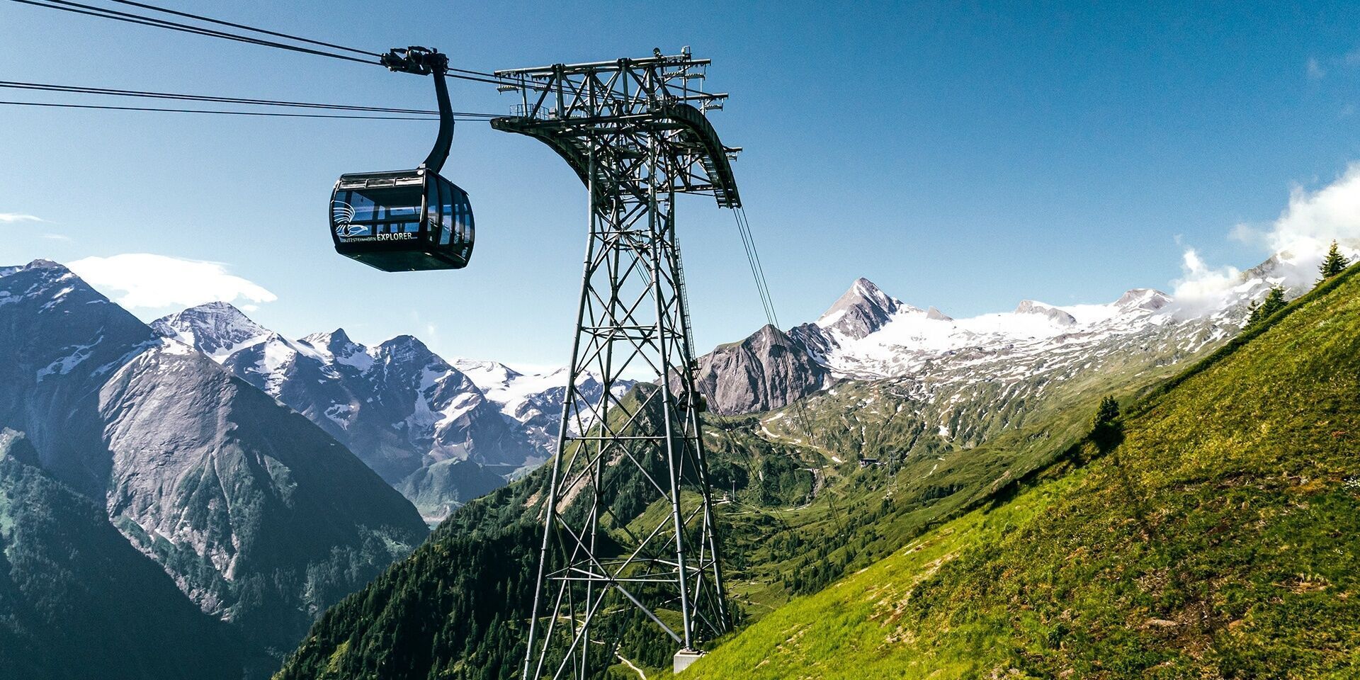
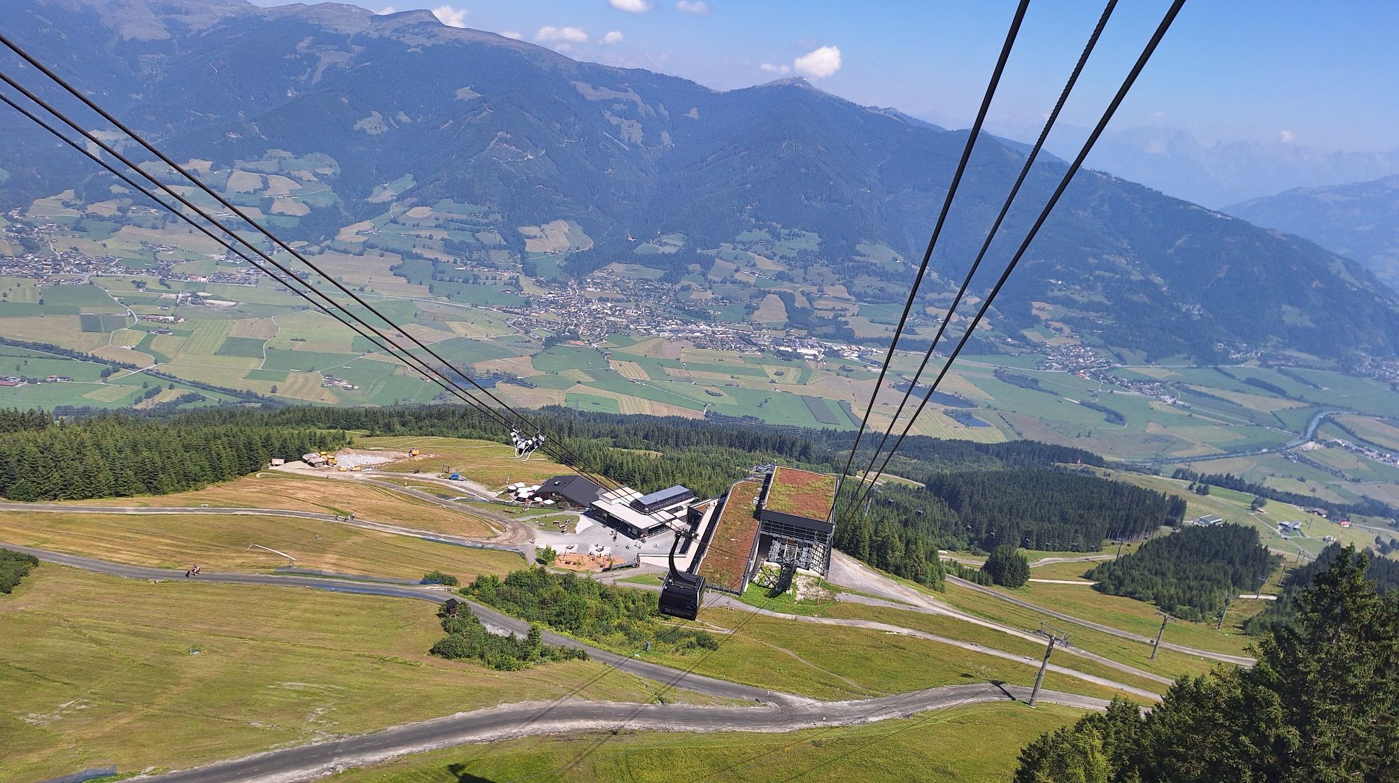
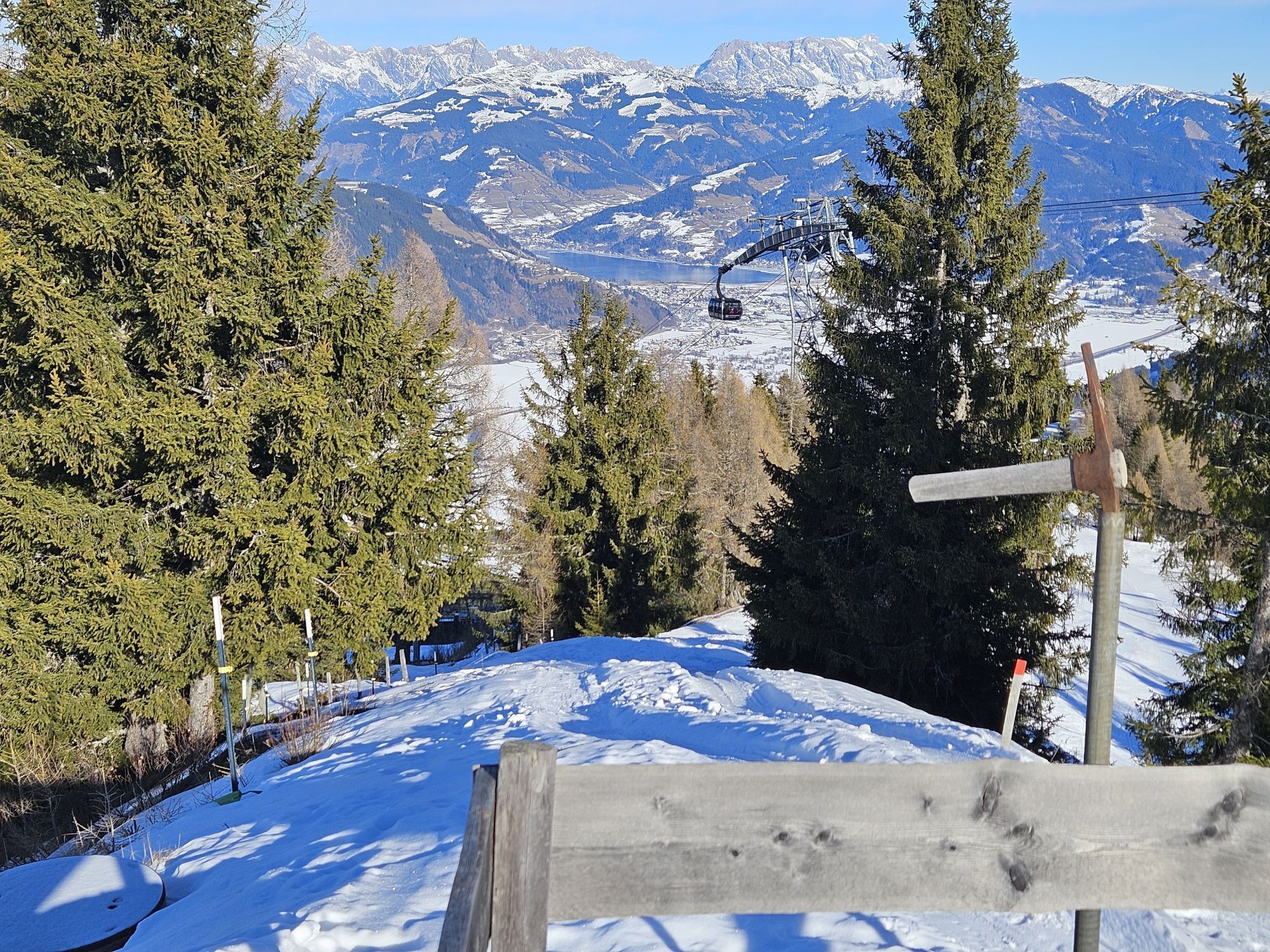
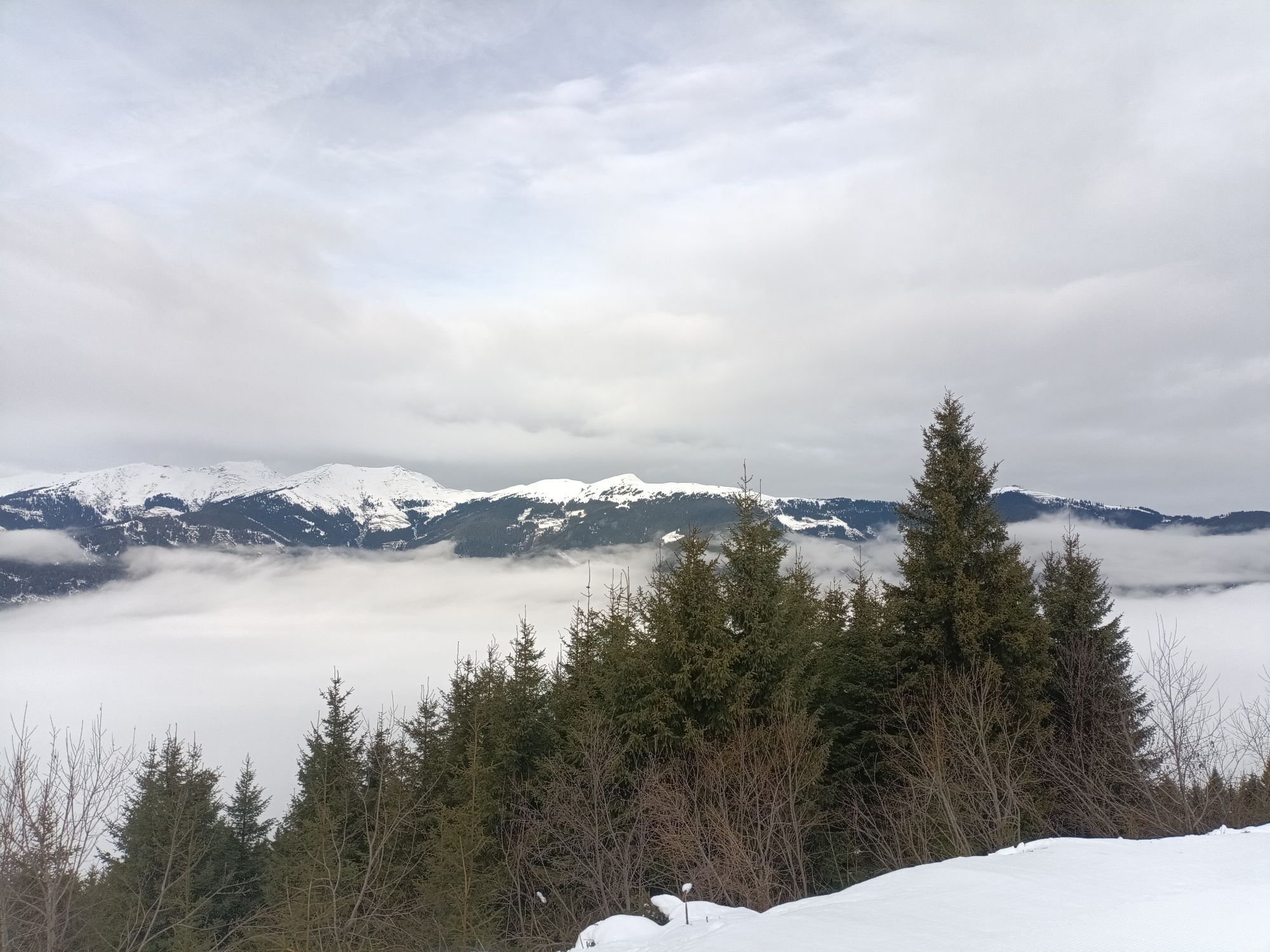
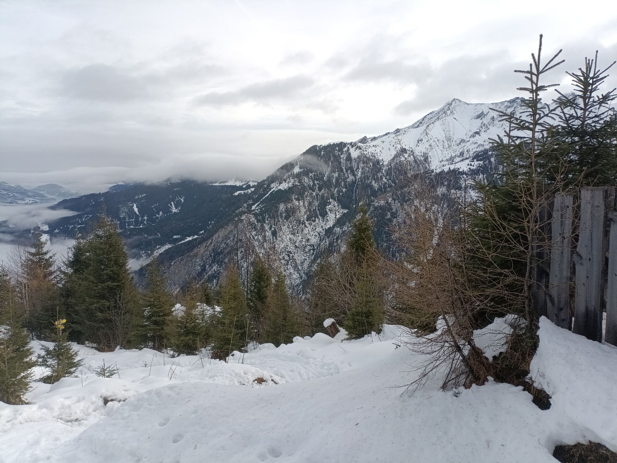
From there you have the possibility to use the new MK Maiskogel cable car directly into the centre of Kaprun or walk back to the valley on path no 35 (2h) or along Maiskol path no 33.
At least one person in the group ought to have some experience of hiking tours in the mountains! Good food wear, protection agains rain and sun! The weather can change quickly in the mountains!
From Zell am See by bus 660 to the stop Kitzsteinhorn.
Free parking at the beginning of the Karpun Center (end of the tour) and continue with the bus 660 to the cable cars Kitzsteinhorn.
Ride down with hiking bus
Parcours populaires à proximité
- 4,8
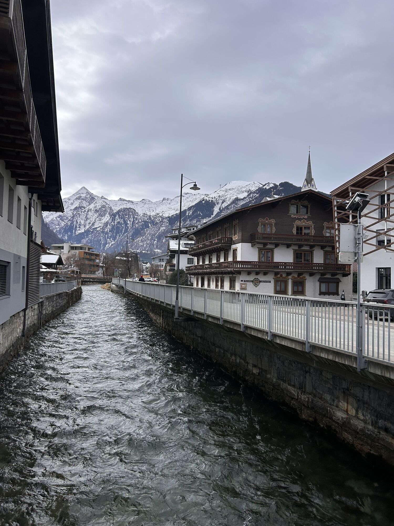
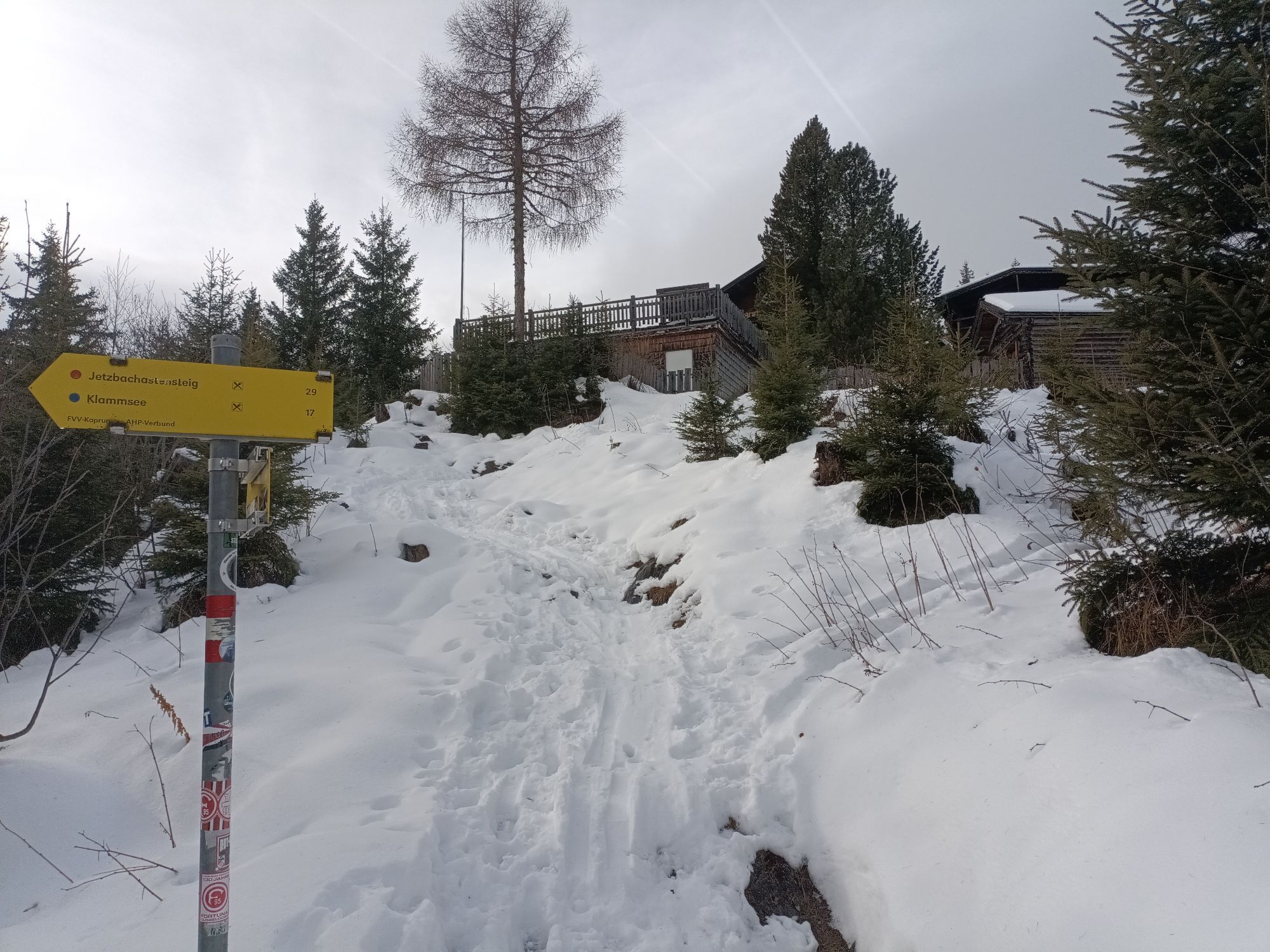
Sigmund Thun Klamm, Klammsee, Bürgkogel
facileRandonnée 4,56 km - 4,5
Sigmund Thun Klamm
facileRandonnée 3,10 km - 4,0
Maurerkogel (Top)
Randonnée 10,5 km - 4,9
Hochsonnberg Runde
moyenVTT 59,8 km - 4,4
Thumersbach, Runde um den Zeller See
facileRandonnée 13,3 km - 4,9
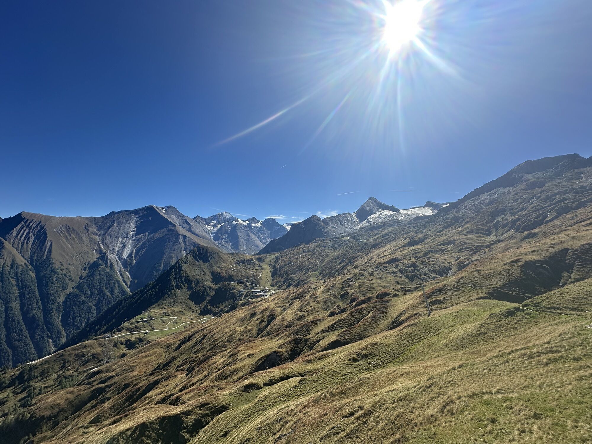
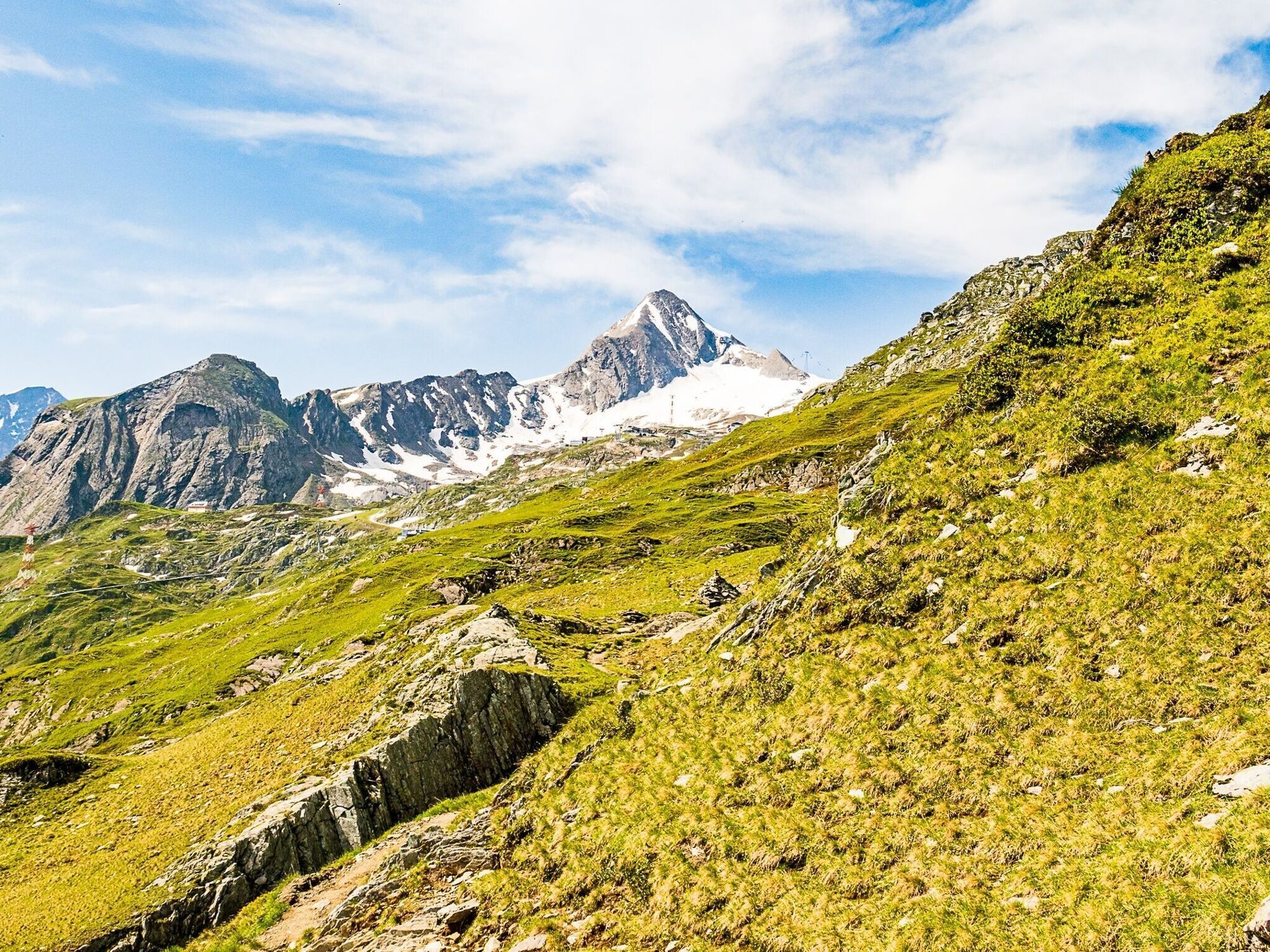
Großes Wiesbachhorn 3564 mnv Kaprun, Austrija
difficileRandonnée 13,4 km - 5,0
Parcours panoramique 3 sommets et 2 lacs
moyenRandonnée 7,35 km - 3,9
Großglockner Hochalpenstrasse
difficileFaire du vélo 20,2 km - 4,6
3 Oktober Fusch Walcher Grung und Hohalm
moyenRandonnée 8,57 km - 4,3
Bruck : 732+736+730 | Drei Brüder
difficileRandonnée 16,1 km
Randonnée et suivi


Ne manquez pas les offres et l'inspiration pour vos prochaines vacances
Votre adresse électronique a été ajouté à la liste de diffusion.