


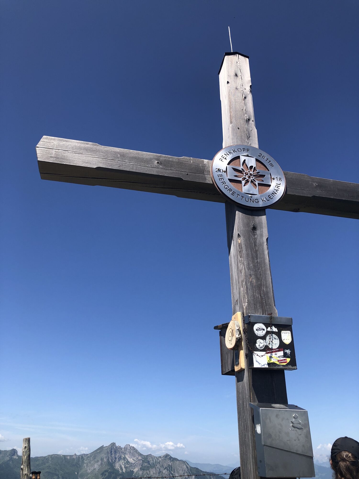
Penkkopf - the magier (712)
Photos de nos utilisateurs
-

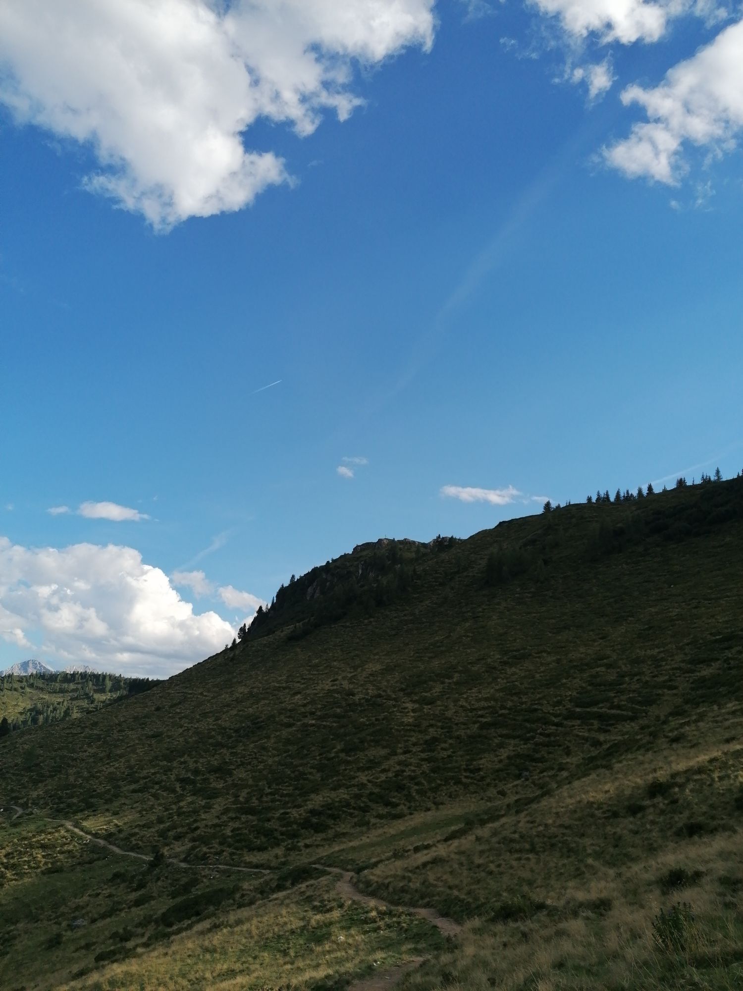
 © Johannes PetschkCréé le 21.06.2025
 -

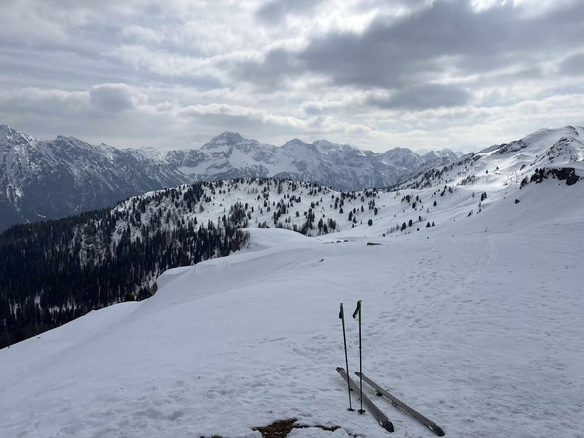
 © R. HCréé le 06.03.2026
 -
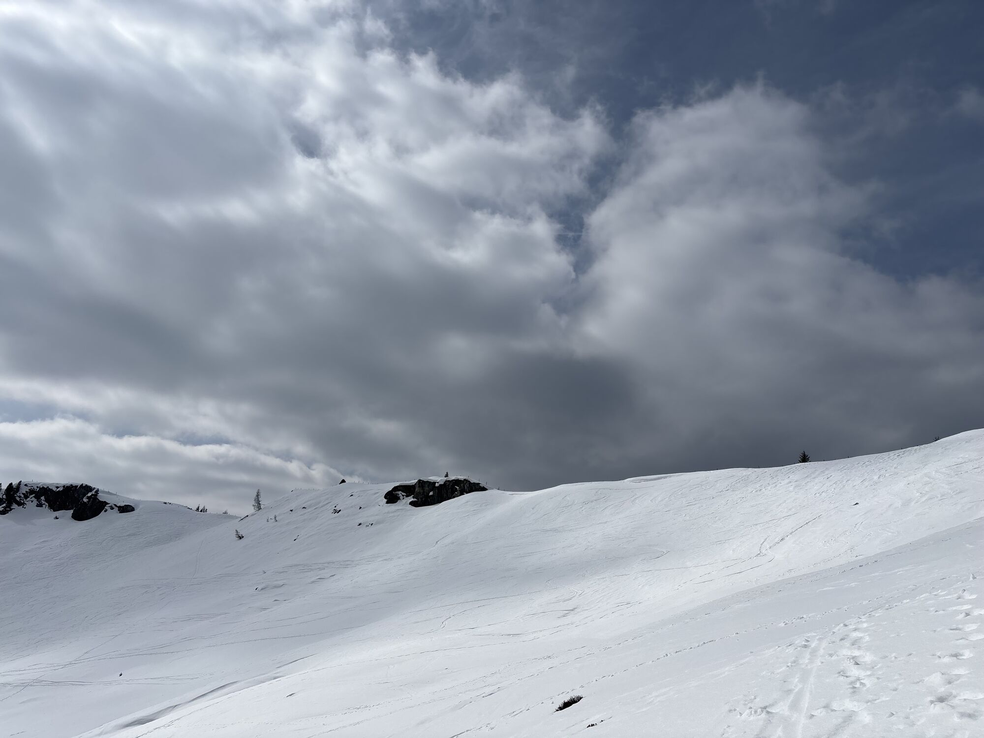
 © PfefferamCréé le 13.02.2026
 -
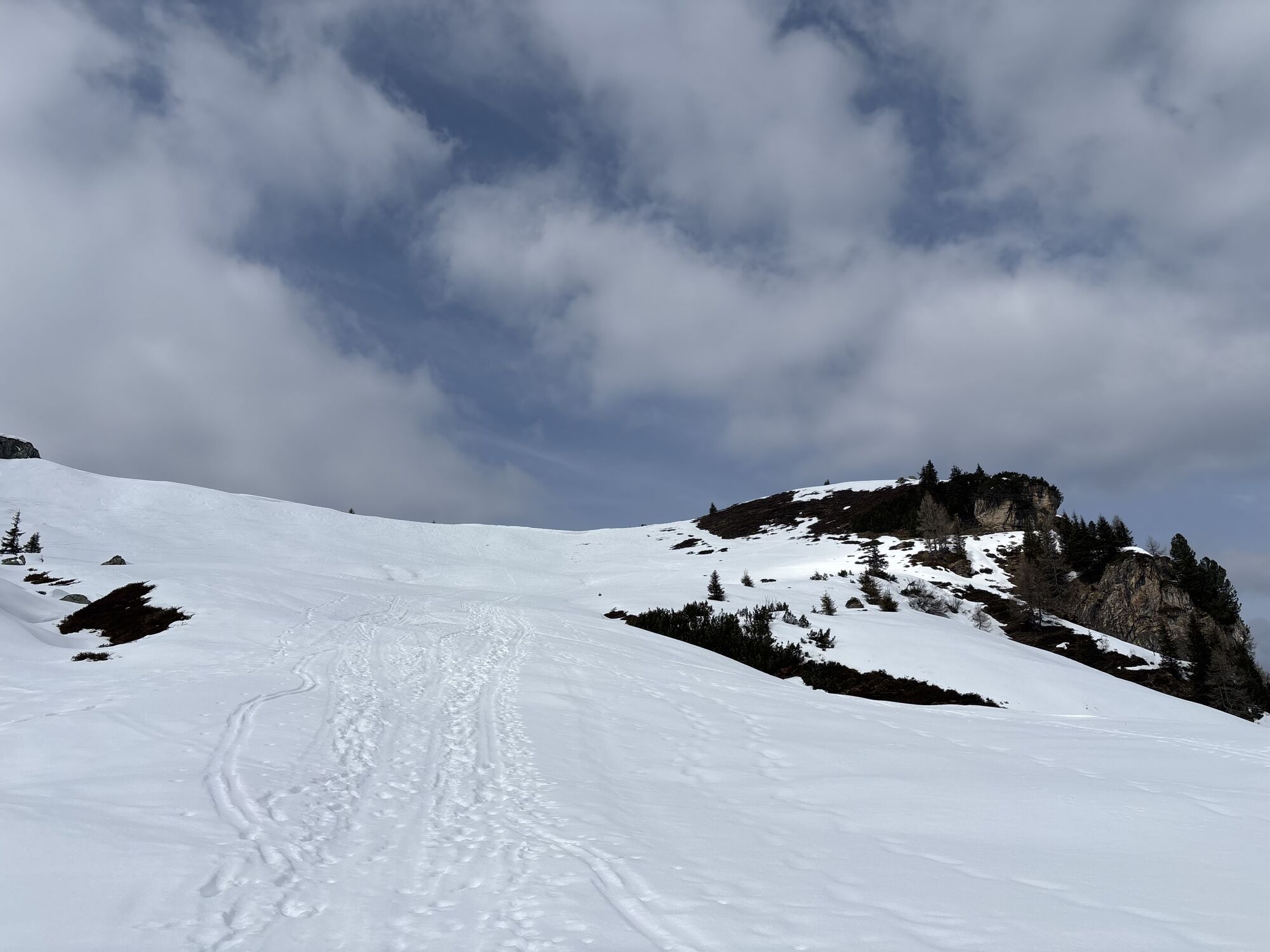
 © PfefferamCréé le 13.02.2026
 -
 © PfefferamCréé le 13.02.2026
 -
 © PfefferamCréé le 13.02.2026
 -
 © PfefferamCréé le 13.02.2026
 -
 © R. HCréé le 16.01.2026
 -

 © Josef LeebCréé le 27.10.2025
 -
 © Noah RoeCréé le 07.09.2025
 -
 © Noah RoeCréé le 14.05.2025
 -
 © Noah RoeCréé le 14.05.2025
 -
 © Noah RoeCréé le 14.05.2025
 -

 © Wanda FournierCréé le 09.03.2025
 -
 © Wanda FournierCréé le 09.03.2025
 -
 © AlaungaCréé le 06.02.2025
 -
 © Herbert DygruberCréé le 22.01.2025
 -
 © Dragoljub IlicCréé le 02.09.2023
 -
 © Dragoljub IlicCréé le 02.09.2023
 -
 © Dragoljub IlicCréé le 02.09.2023
 -
 © Dragoljub IlicCréé le 02.09.2023
 -
 © Dragoljub IlicCréé le 02.09.2023
 -
 © Dragoljub IlicCréé le 02.09.2023
 -
 © Dragoljub IlicCréé le 02.09.2023
 -
 © Dragoljub IlicCréé le 02.09.2023
 -
 © Dragoljub IlicCréé le 02.09.2023
 -
 © Dragoljub IlicCréé le 02.09.2023
 -
 © Dragoljub IlicCréé le 02.09.2023
 -
 © Dragoljub IlicCréé le 02.09.2023
 -
 © Dragoljub IlicCréé le 02.09.2023
 -
 © Dragoljub IlicCréé le 02.09.2023
 -
 © Dragoljub IlicCréé le 02.09.2023
 -
 © Dragoljub IlicCréé le 02.09.2023
 -

 © Heinz SperlCréé le 24.03.2026
 -
 © Heinz SperlCréé le 24.03.2026
 -
 © Heinz SperlCréé le 24.03.2026
 -
 © Heinz SperlCréé le 24.03.2026
 -
 © Heinz SperlCréé le 24.03.2026
 -
 © Heinz SperlCréé le 24.03.2026
 -
 © Heinz SperlCréé le 24.03.2026
 -
 © Heinz SperlCréé le 24.03.2026
 -
 © Heinz SperlCréé le 24.03.2026
 -
 © Heinz SperlCréé le 24.03.2026
 -
 © Heinz SperlCréé le 24.03.2026
 -
 © R. HCréé le 10.03.2026
 -
 © Heinz SperlCréé le 18.02.2026
 -
 © Heinz SperlCréé le 18.02.2026
 -
 © Heinz SperlCréé le 18.02.2026


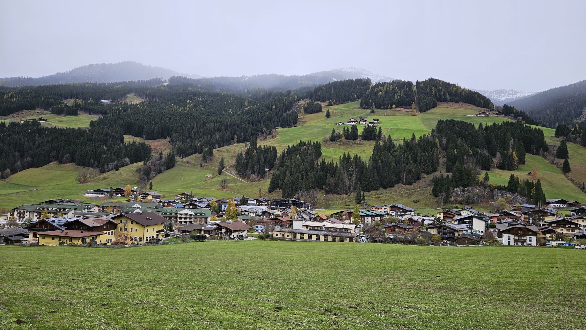


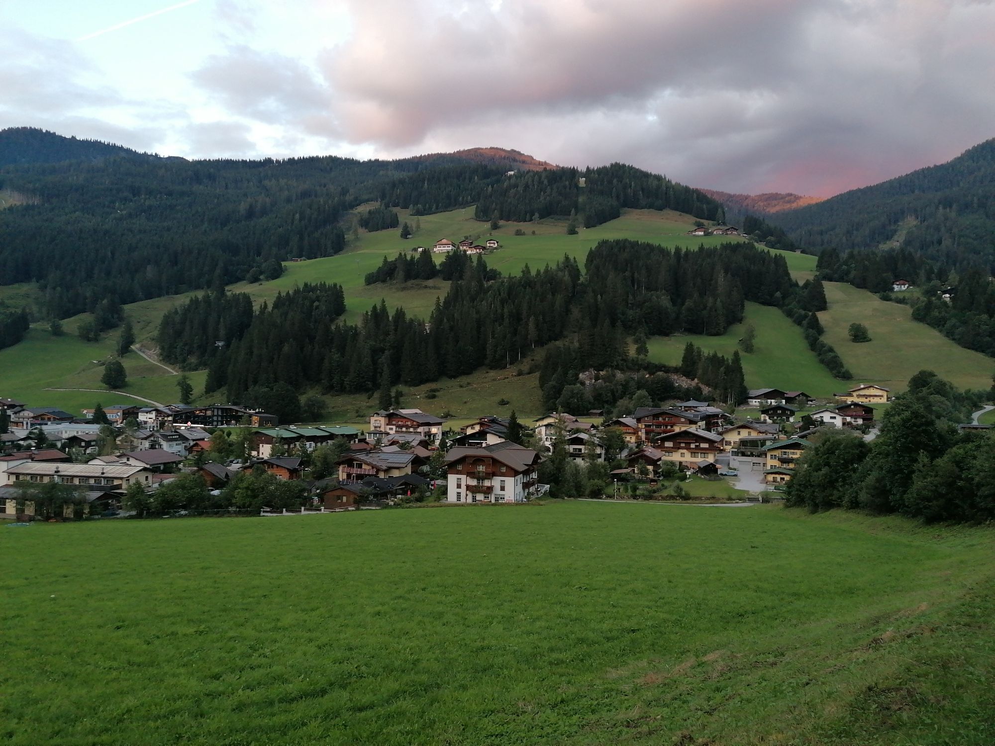
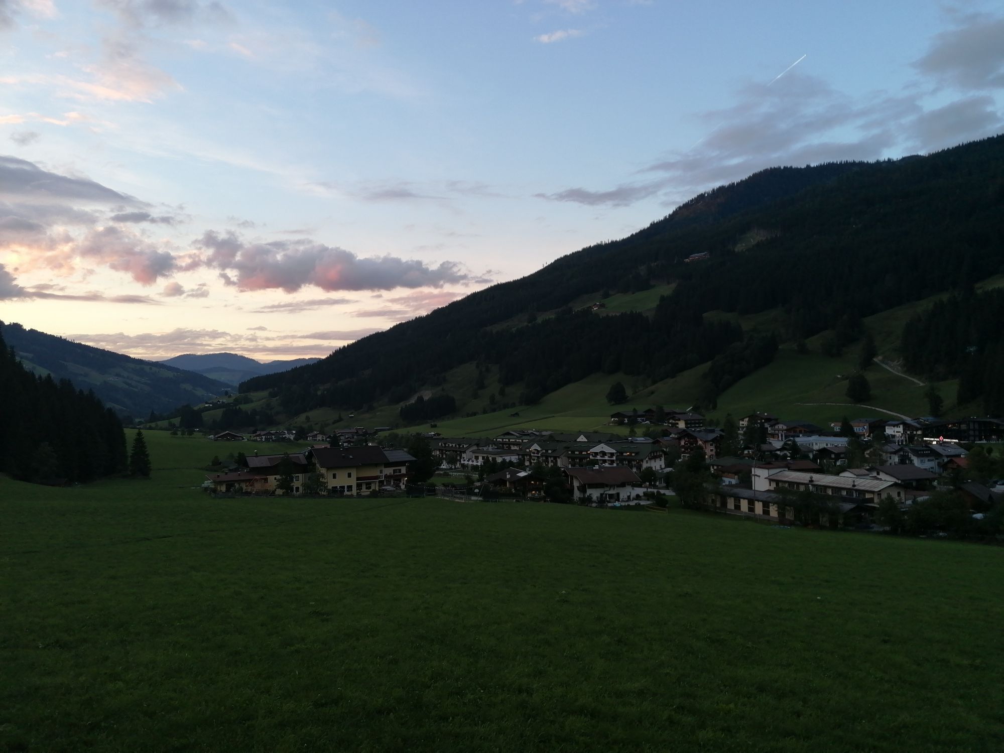


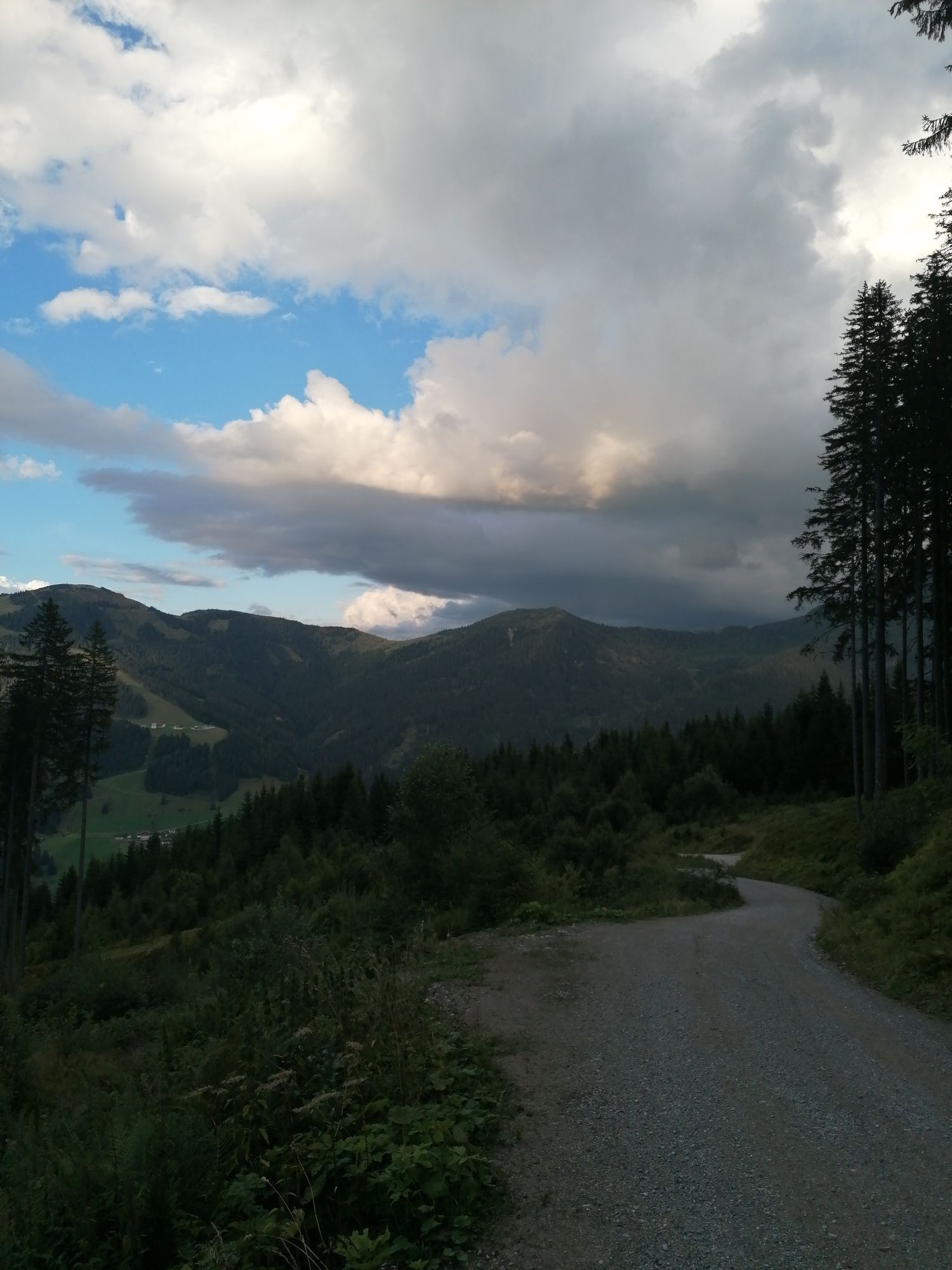


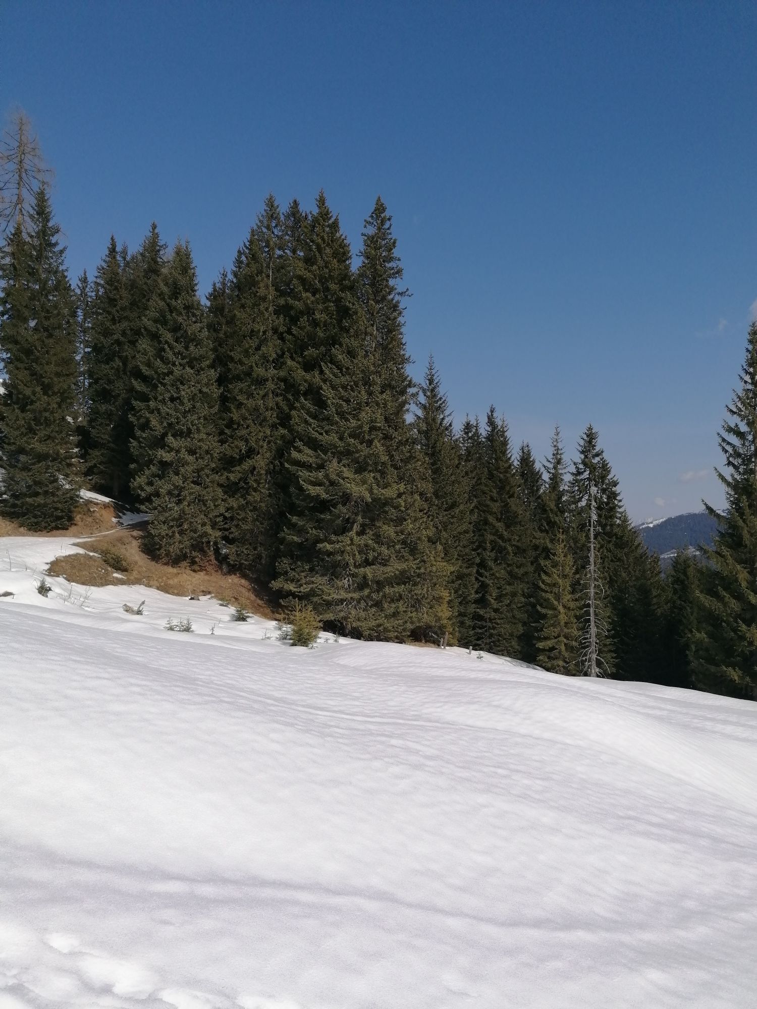
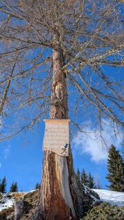
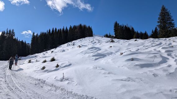
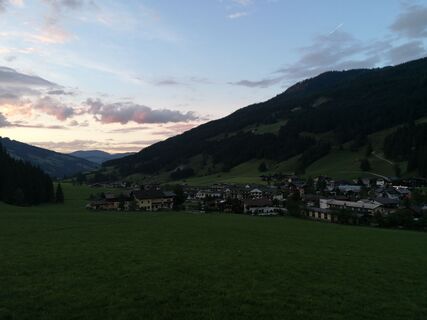
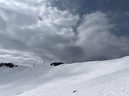
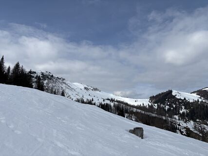
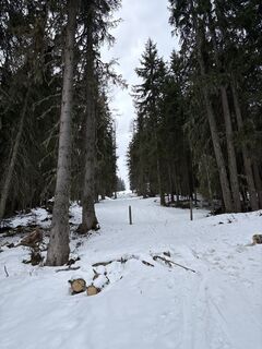
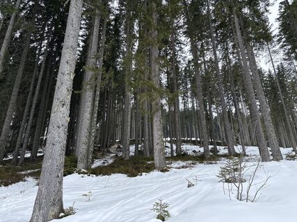
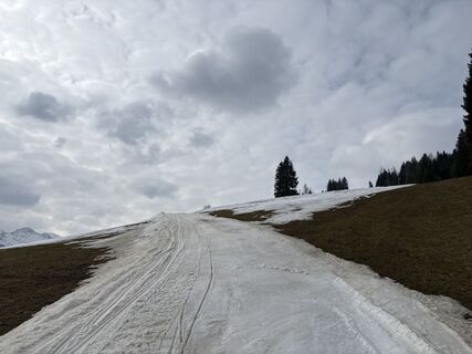
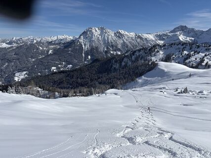
You start the tour either in the center of Kleinarl or from the Hirschleiten car park (approx. 1.5km up the Ployergasse). Now follow the well-signposted hiking trail (no. 712), alternating across meadows...
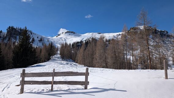
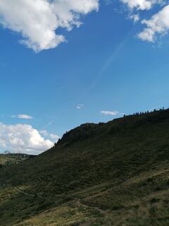
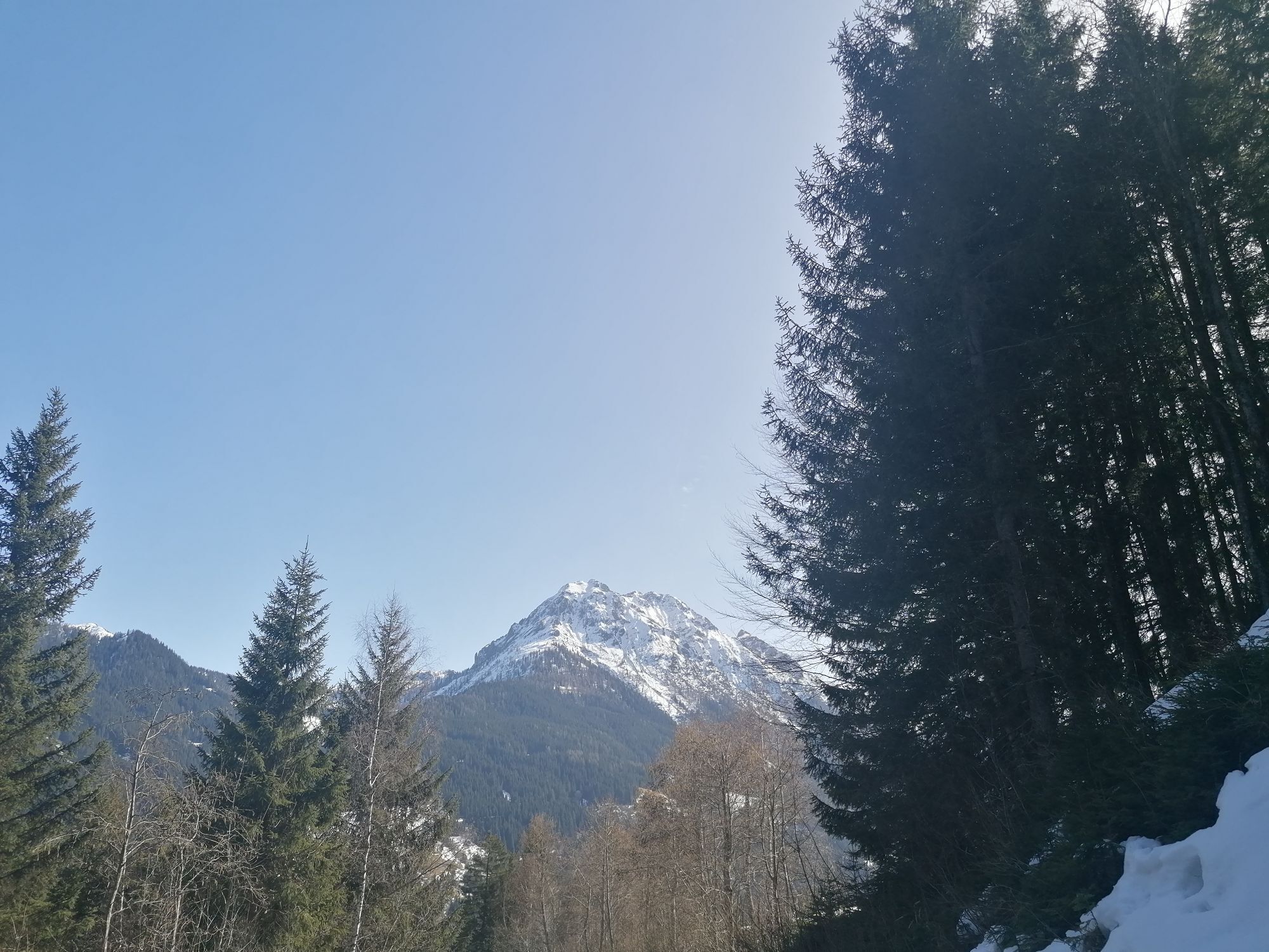
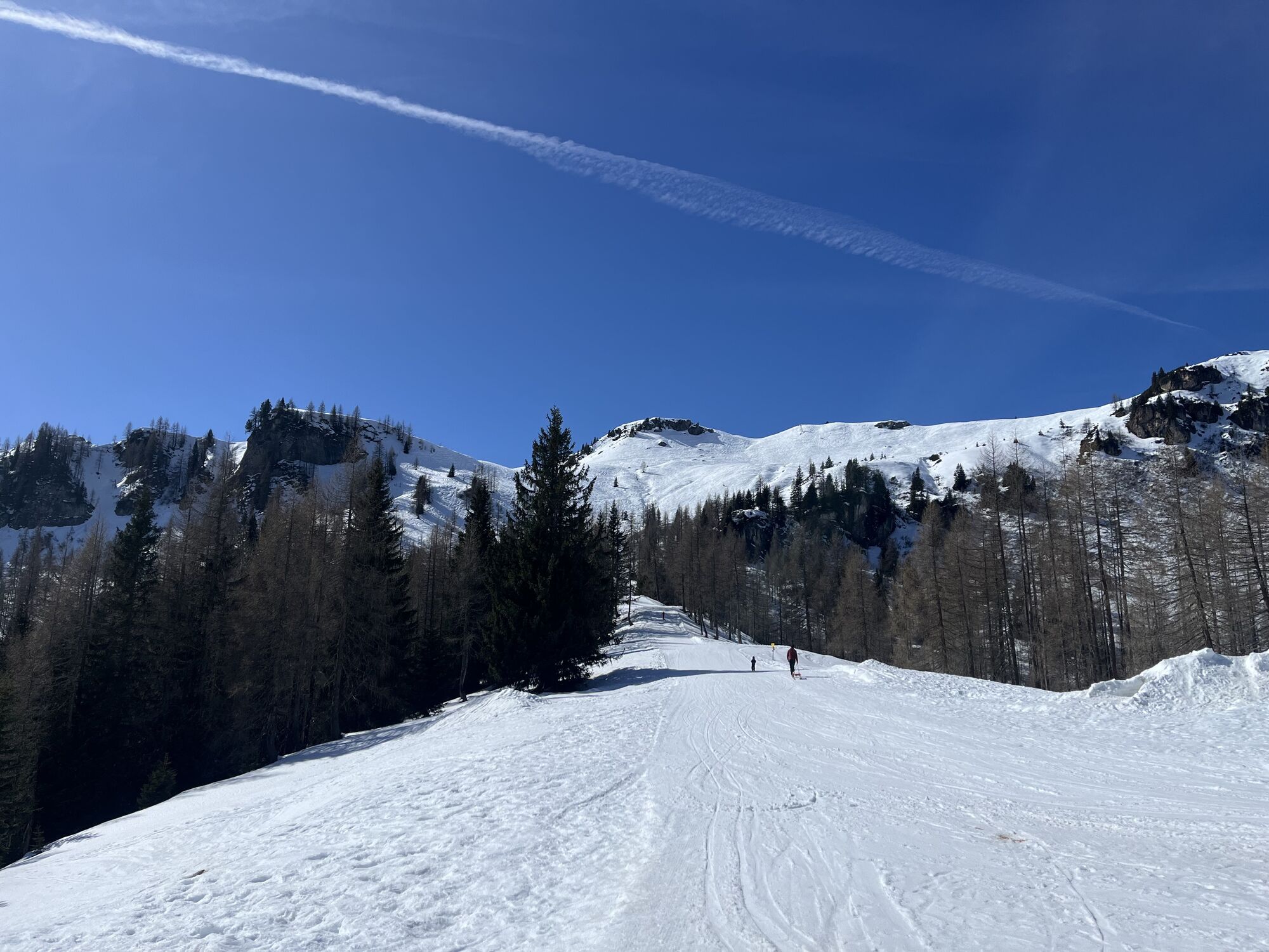
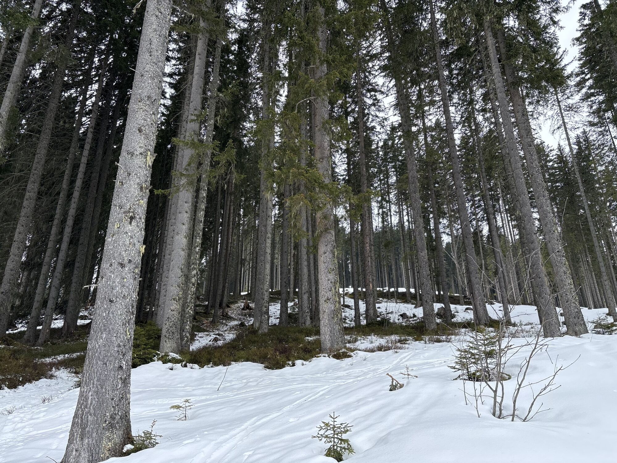
You start the tour either in the center of Kleinarl or from the Hirschleiten car park (approx. 1.5km up the Ployergasse). Now follow the well-signposted hiking trail (no. 712), alternating across meadows and through sparse forest in about 2 hours to the Kleinarler hut.
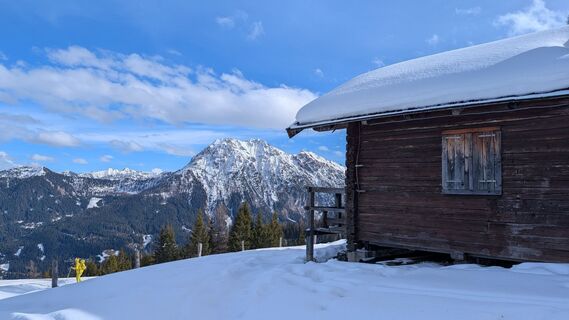
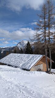
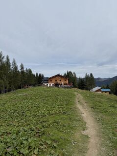
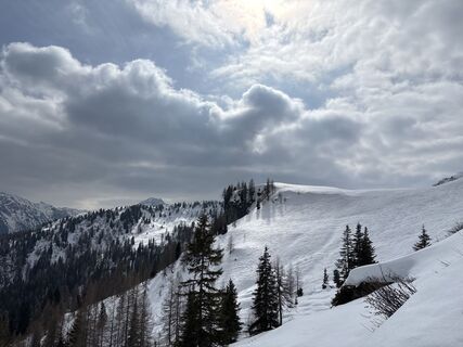
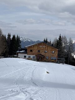
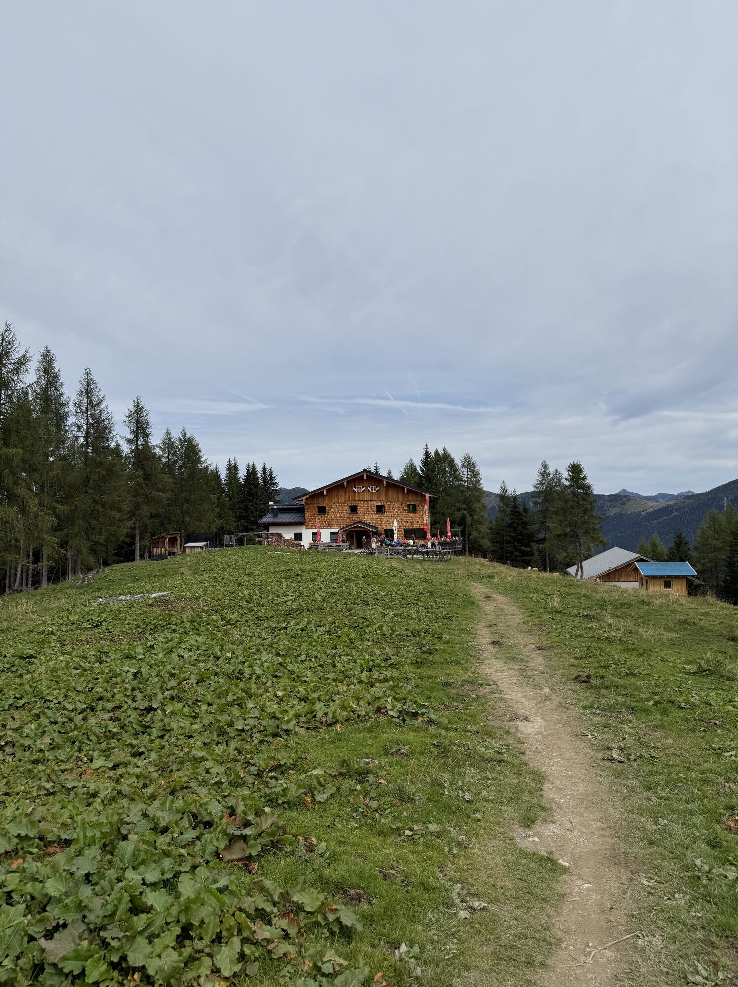
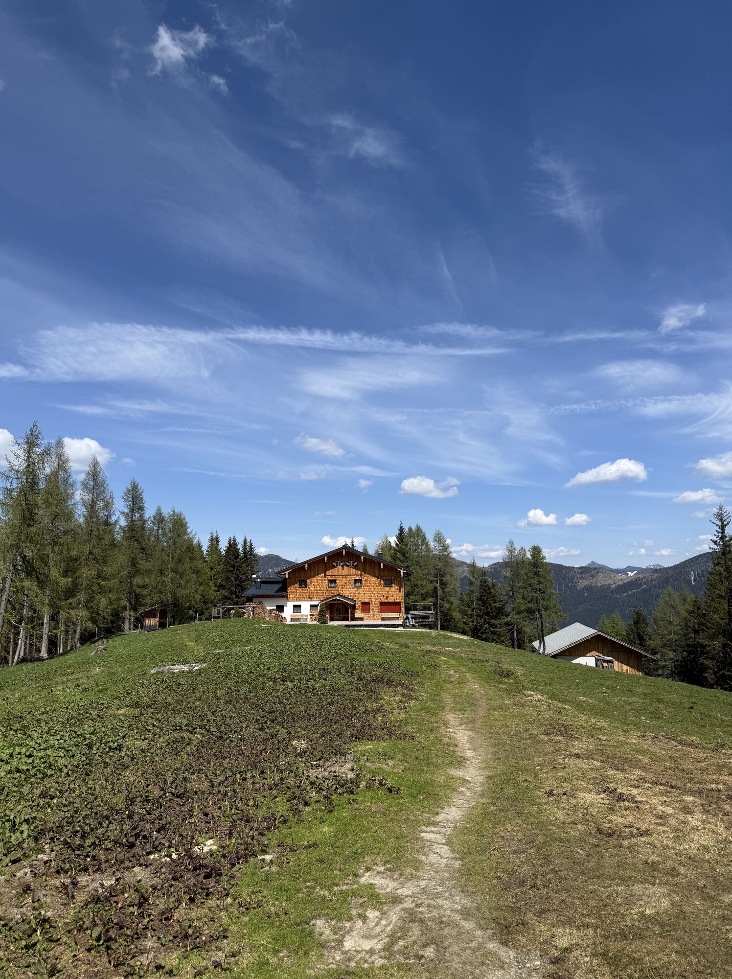
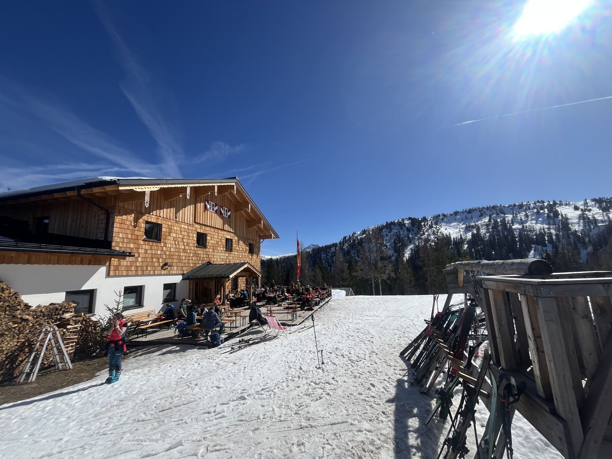
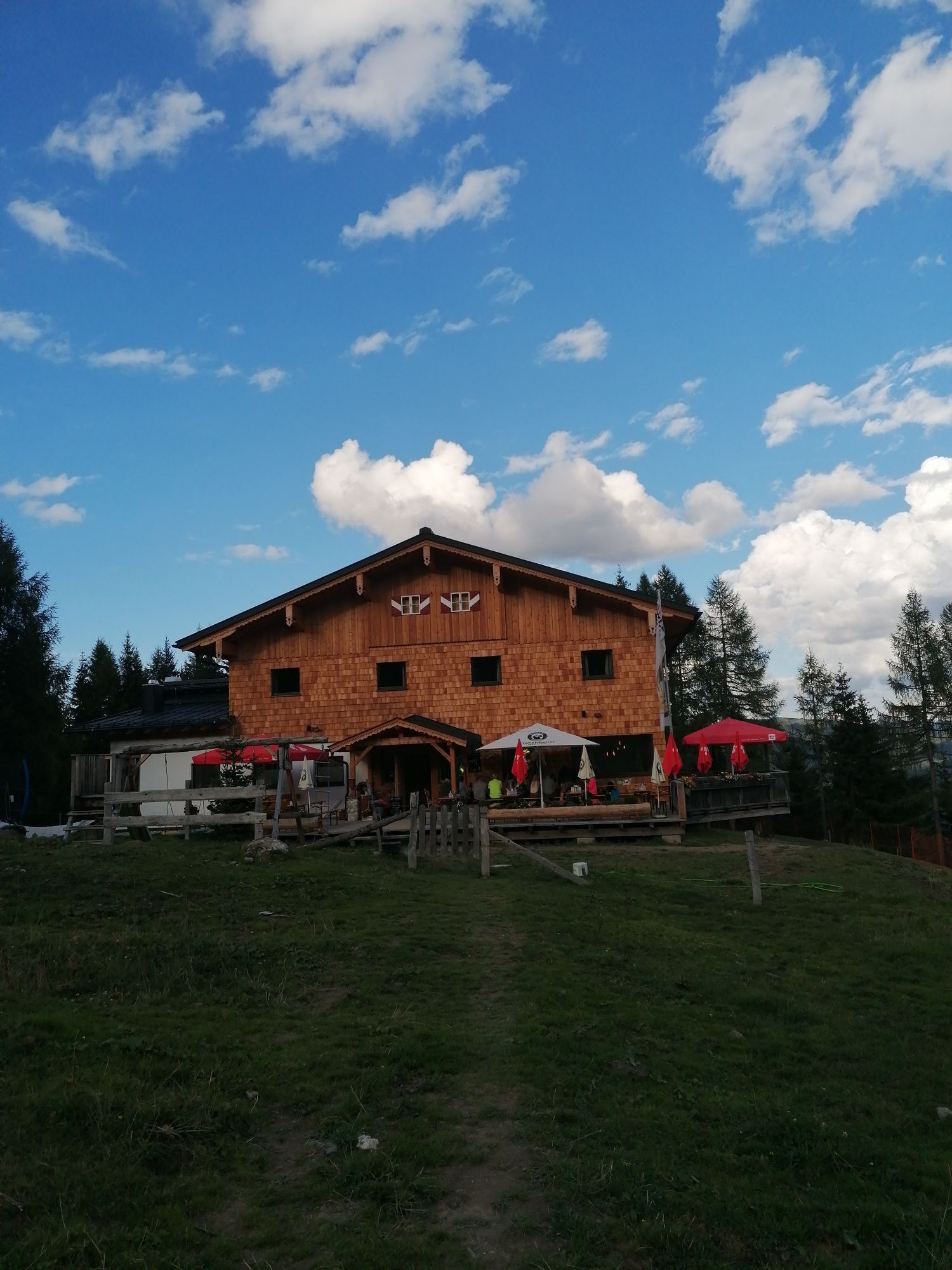
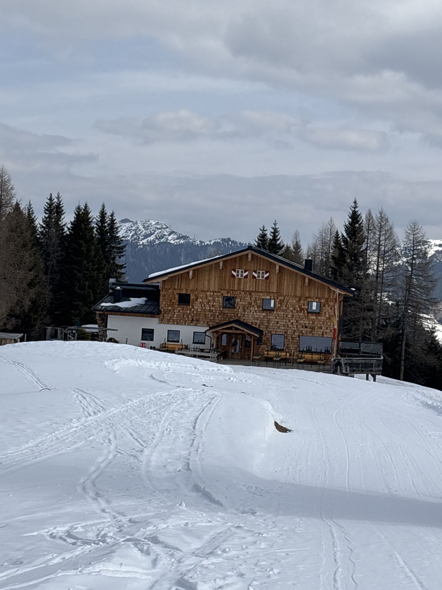
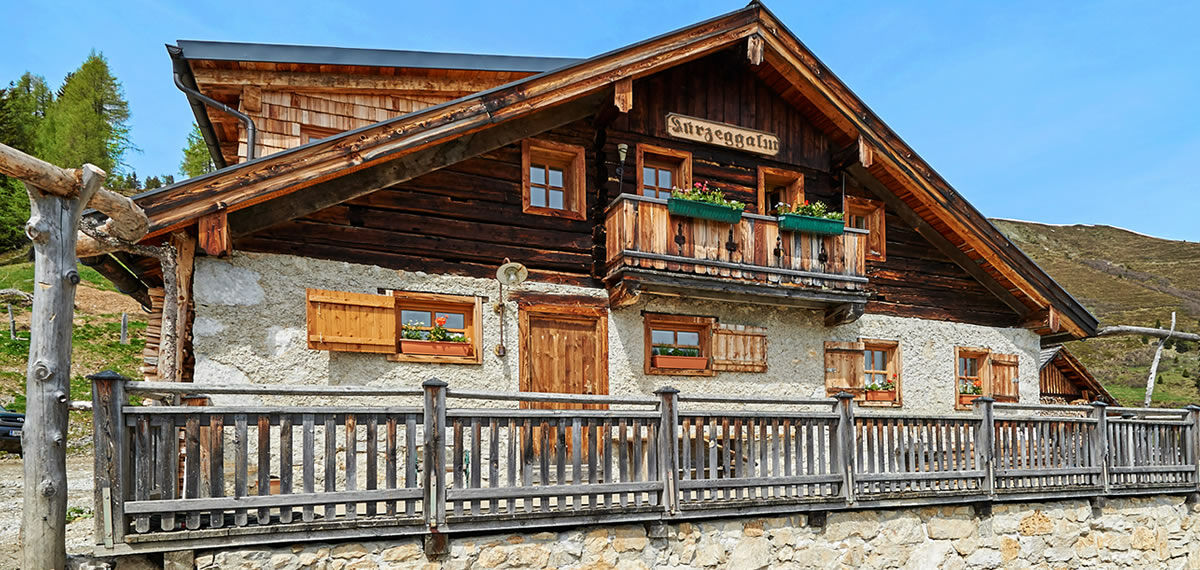
The hut is beautifully embedded between Penkkopf and Gründegg high above Kleinarl and spoils hikers with culinary delights with the popular hut classics.
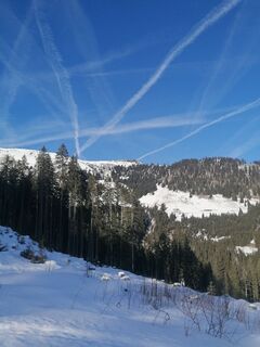
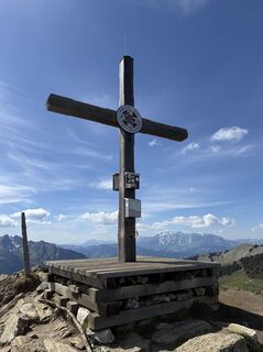
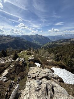
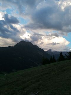
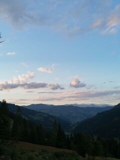
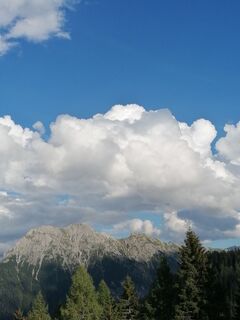
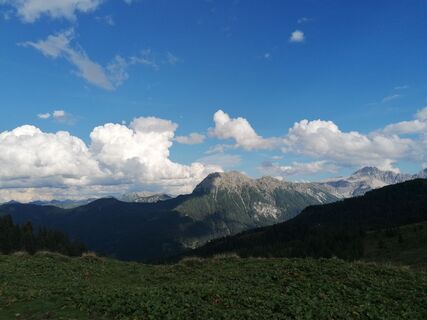
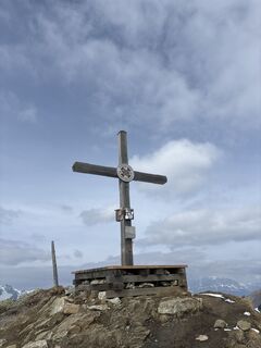
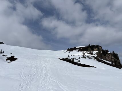
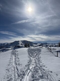
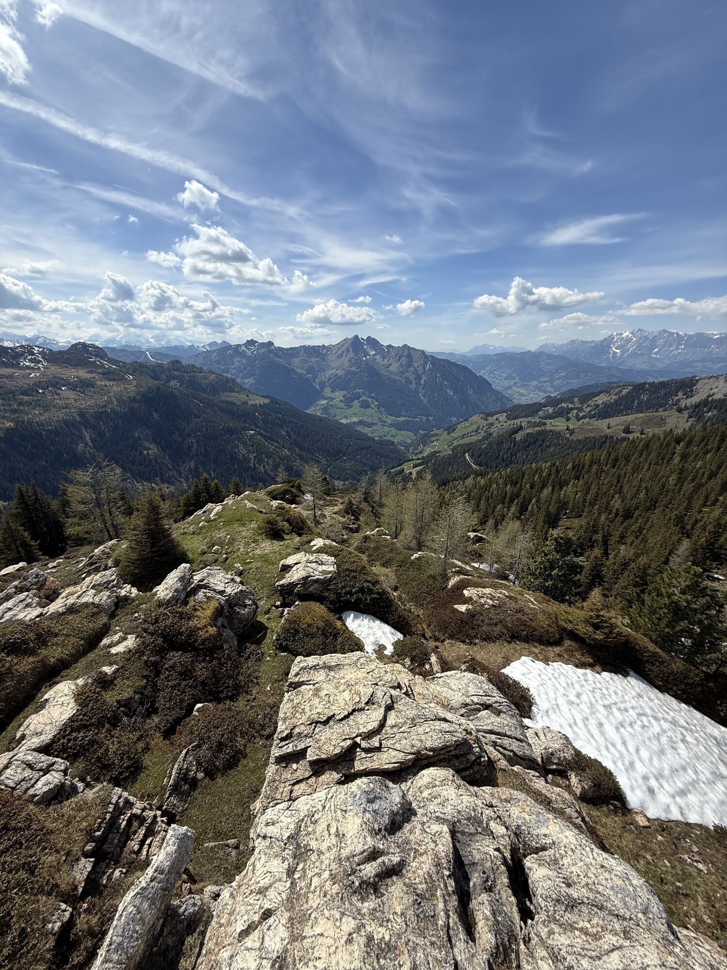
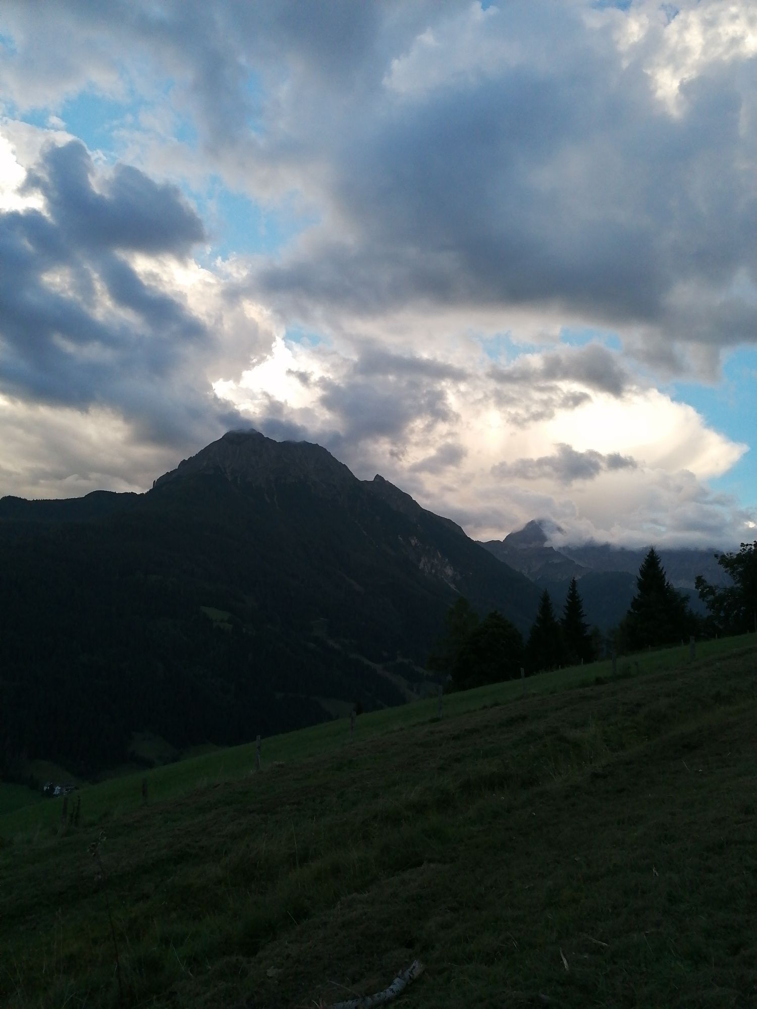
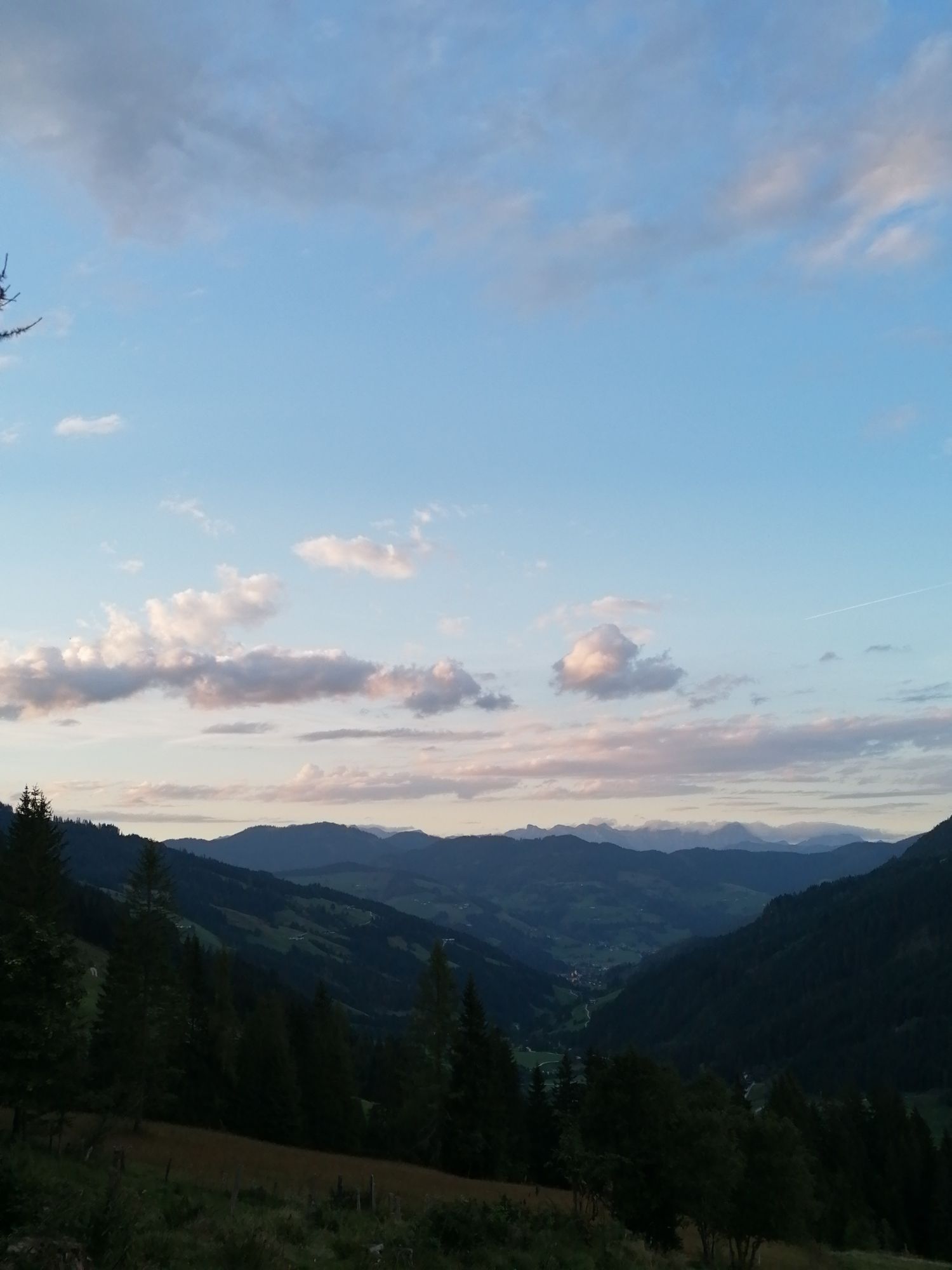
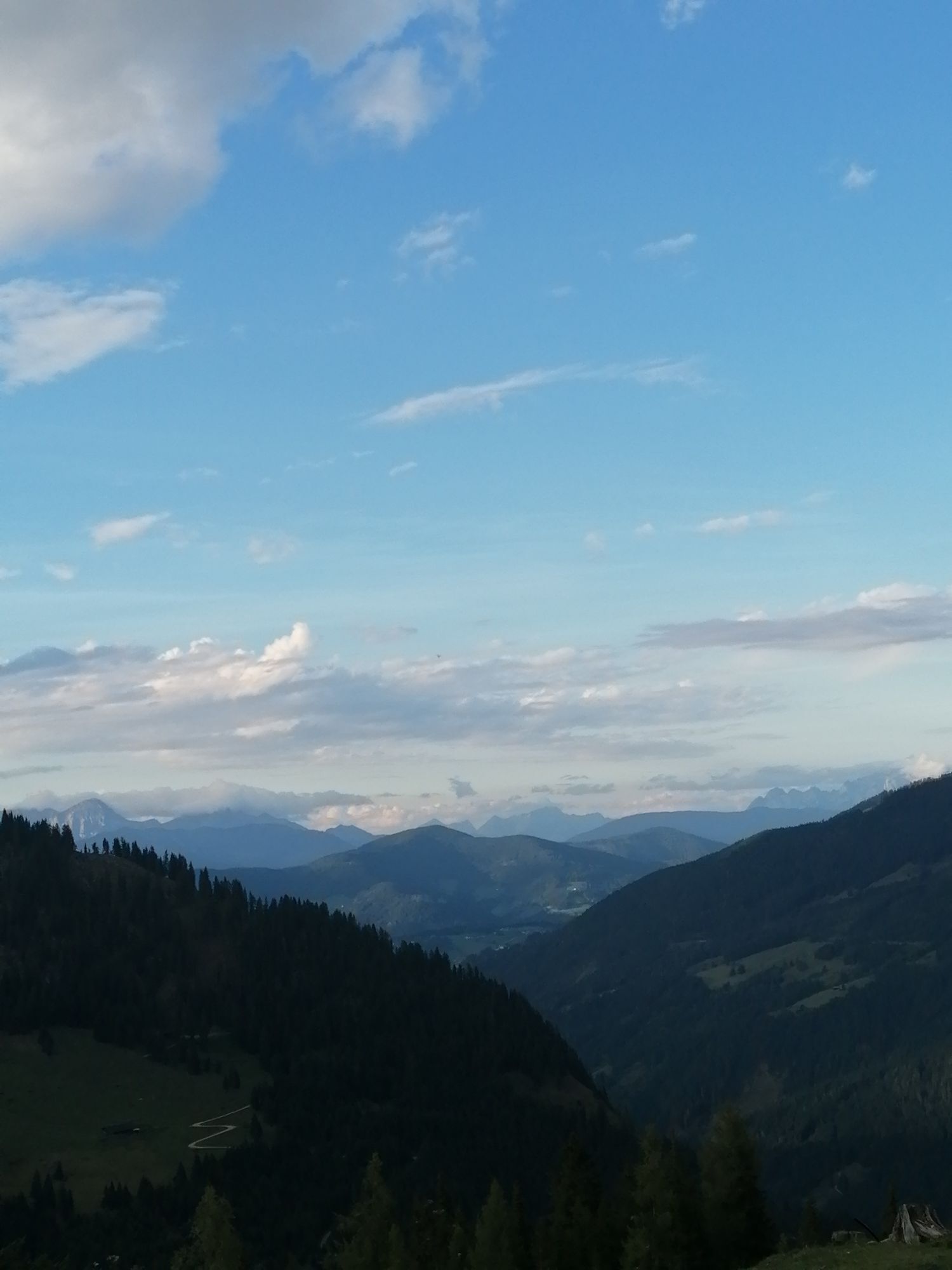
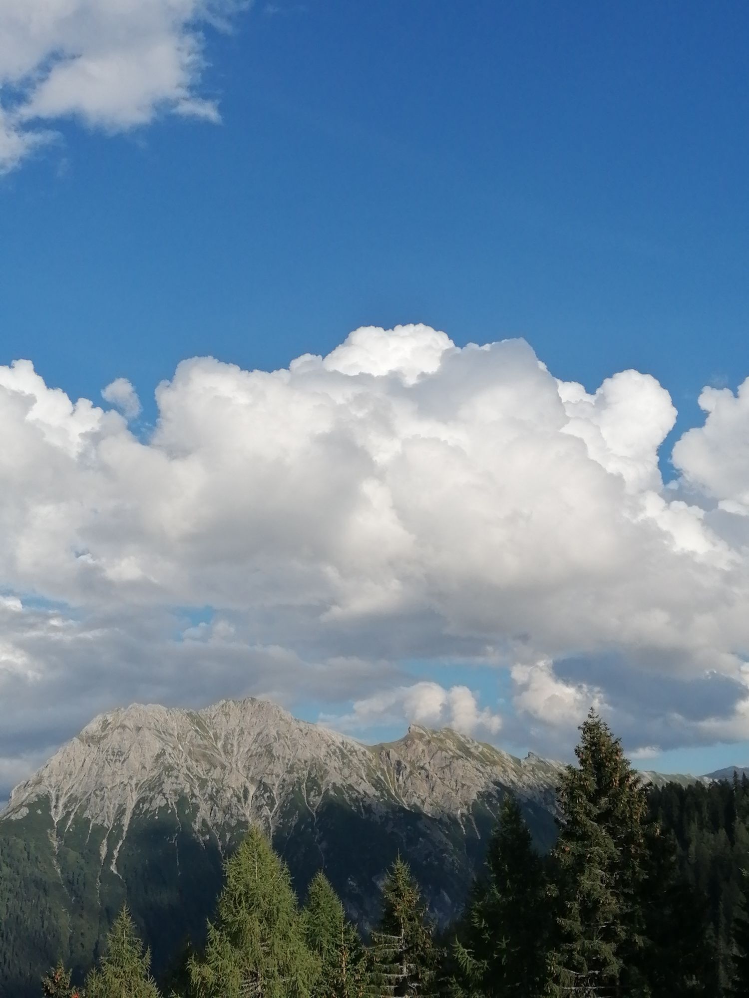
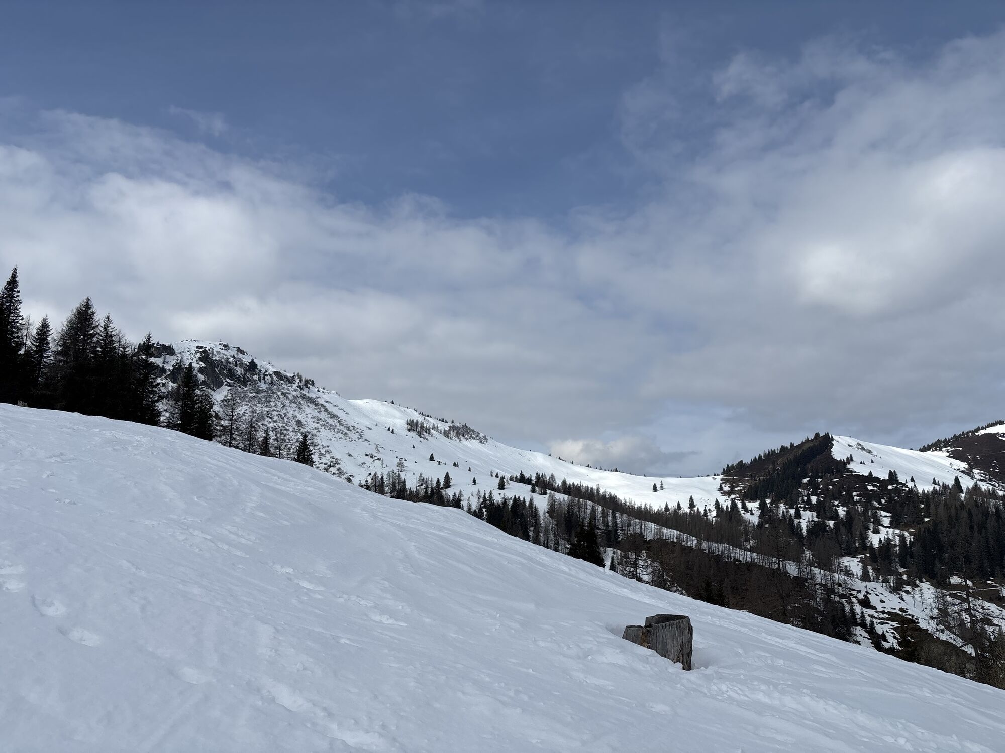
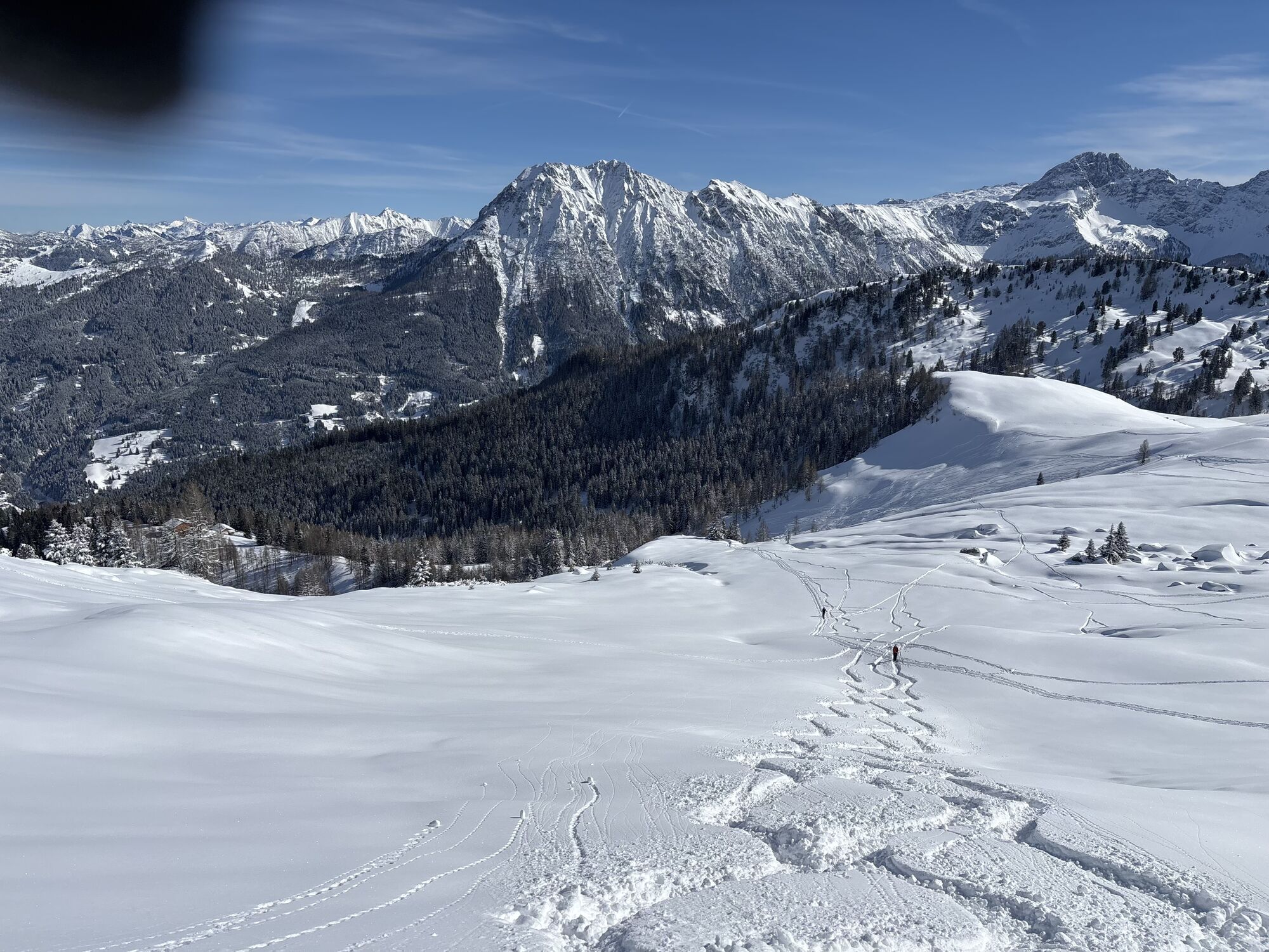
From the Kleinarler Hütte you can reach the summit of Penkkopf in around 45 minutes via an easy path. You will be rewarded at the summit with a fantastic 360 ° alpine panorama.
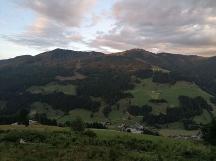
The way back leads over the Kurzeggalm until it meets the ascent path again. At the Kurzeggalm it is also worth stopping for a hearty snack.


The path begins in the center of Kleinarl. At the Angerwirt, it goes over the bridge and the Hirschleiten supply route up to a torrent barrier. Immediately behind it, the path to the Hirschleitbauer branches off to the left. Alternatively, you can start from the Hirschleit car park (approx. 1.5 km up Ployergasse) and from there follow the supply route to the Hirschleitbauer.
From the Hirschleitbauer you follow the well-signposted hiking trail (No. 712), alternating across meadows and through sparse forest in about 2 hours to the Kleinarler Hütte.
From the Kleinarler Hütte you can reach the summit of the Penkkopf in about 45 minutes via an easy path. The way back leads via nos. 87 and 81, past the Kurzeggalm until it meets the ascent path again.
Oui
solid footwear
Via Wagrain to the center of Kleinarl.
With the hiking bus to the center / tourist information of Kleinarl.
The parking lot is chargeable.
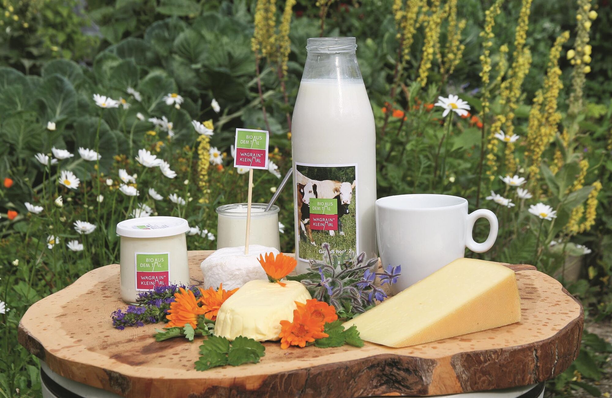
Only 350m from the Hirschleiten car park, at the end of the forest road, you will find the organic farm shop from the valley. Here you can buy various types of cheese, milk and sausage products for a snack during the hike or to take home. Please have the appropriate money ready.
Webcams de la tournée
-
Gernkogel - Alpendorf St. Johann
-
Absolut Shuttle Bergstation
-
Chill House / Jib Park
-
Bergstation Bubble Shuttle - Powder Shuttle
-
Gernkogel - Alpendorf St. Johann
-
Gernkogel - Alpendorf St. Johann
-
Lumberjack Shuttle
-
Mooslehen Berg
-
Großarl - Loosbühelalm
-
Gernkogel - Alpendorf St. Johann
-
Gernkogel - Alpendorf St. Johann
-
Gernkogel - Alpendorf St. Johann
-
Gernkogel - Alpendorf St. Johann
-
Snow Space Salzburg - Snowpark

Parcours populaires à proximité
-
4,1
Tappenkarsee Kleinarl
moyenRandonnée 9,11 km -
4,9
Großarl : Aualm - Liechtensteinkopf - Aukopf - Schuhflicker - Schuhflickersee
moyenRandonnée 5,84 km -
4,6
Parcours de ski Lackenkogel
moyenSki de randonnée 7,82 km -
5,0
Großarl : Circuit des alpages dans la vallée d'Ellmautal
moyenRandonnée 9,69 km -
4,8
Großarl : Mooslehenalm – Niggeltalalm – Viehhausalm
moyenRandonnée 5,44 km -
5,0
Strimskogel-Runde
Randonnée 13 km -
4,2
Großarl : Unterwandalm - Karseggalm - Breitenebenalm
moyenRandonnée 5,93 km -
4,4
Großarl : Saukaralm - Saukarkopf - Gerstreitalm
moyenRandonnée 9,11 km -
4,8
Liechtensteinklamm mit Helix
facileChemin thématique 3 km -
4,5
Mosermandl Windischscharte, Salzburger Land/Österreich
difficileRandonnée 14,6 km
Randonnée et suivi


Ne manquez pas les offres et l'inspiration pour vos prochaines vacances
Votre adresse électronique a été ajouté à la liste de diffusion.