


Bike & Hike Tour: Lackenkogel


Photos de nos utilisateurs
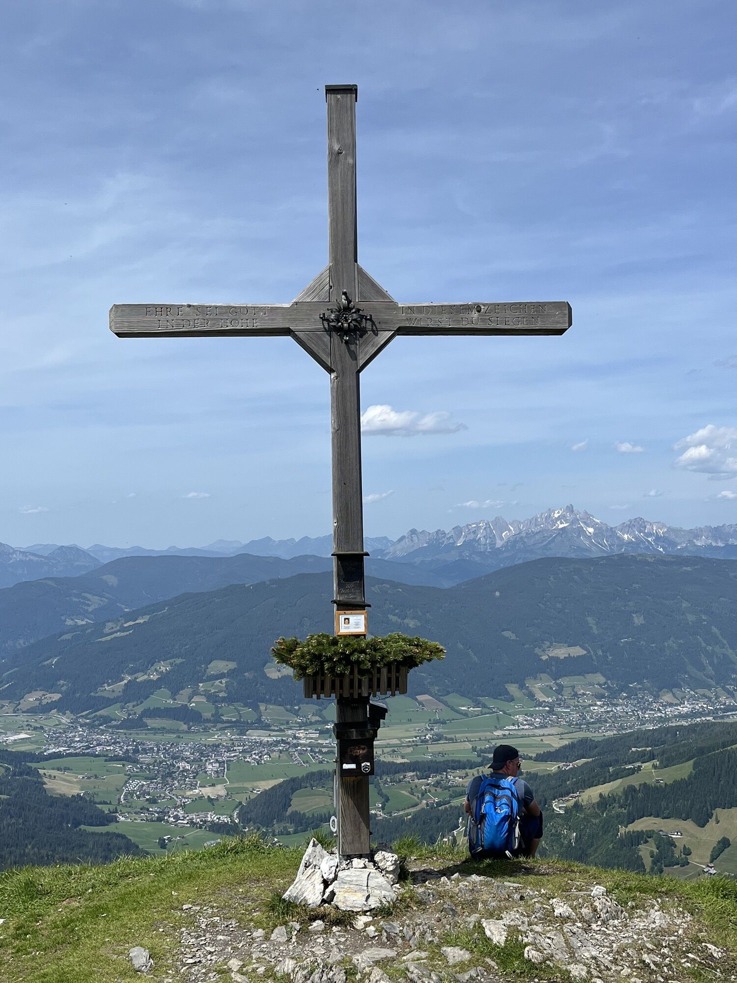
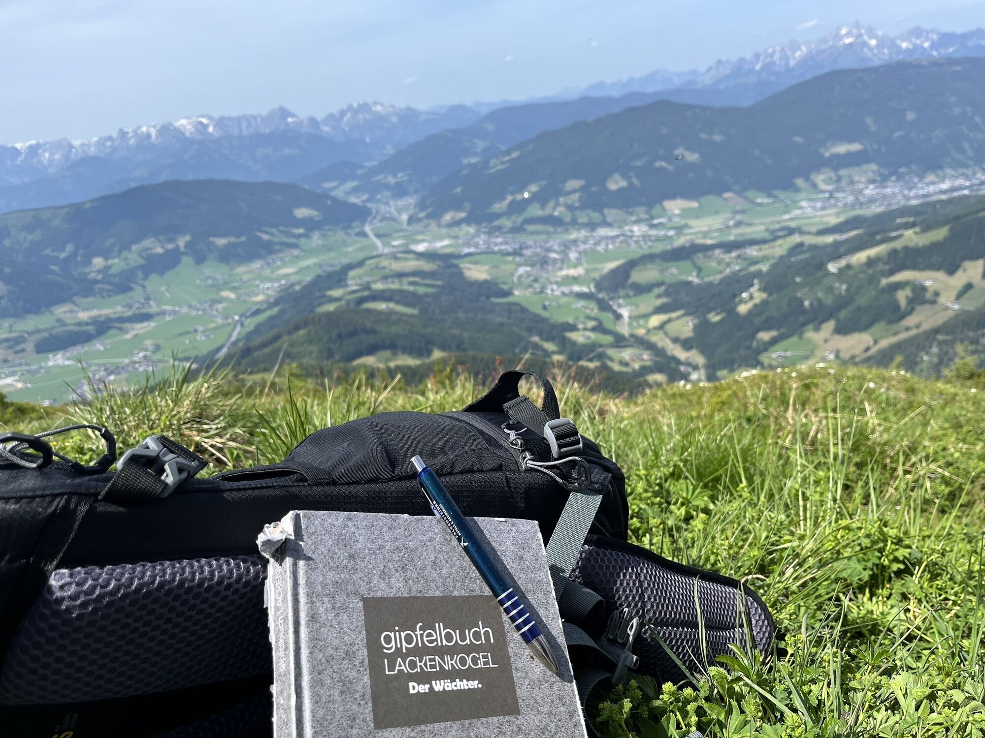
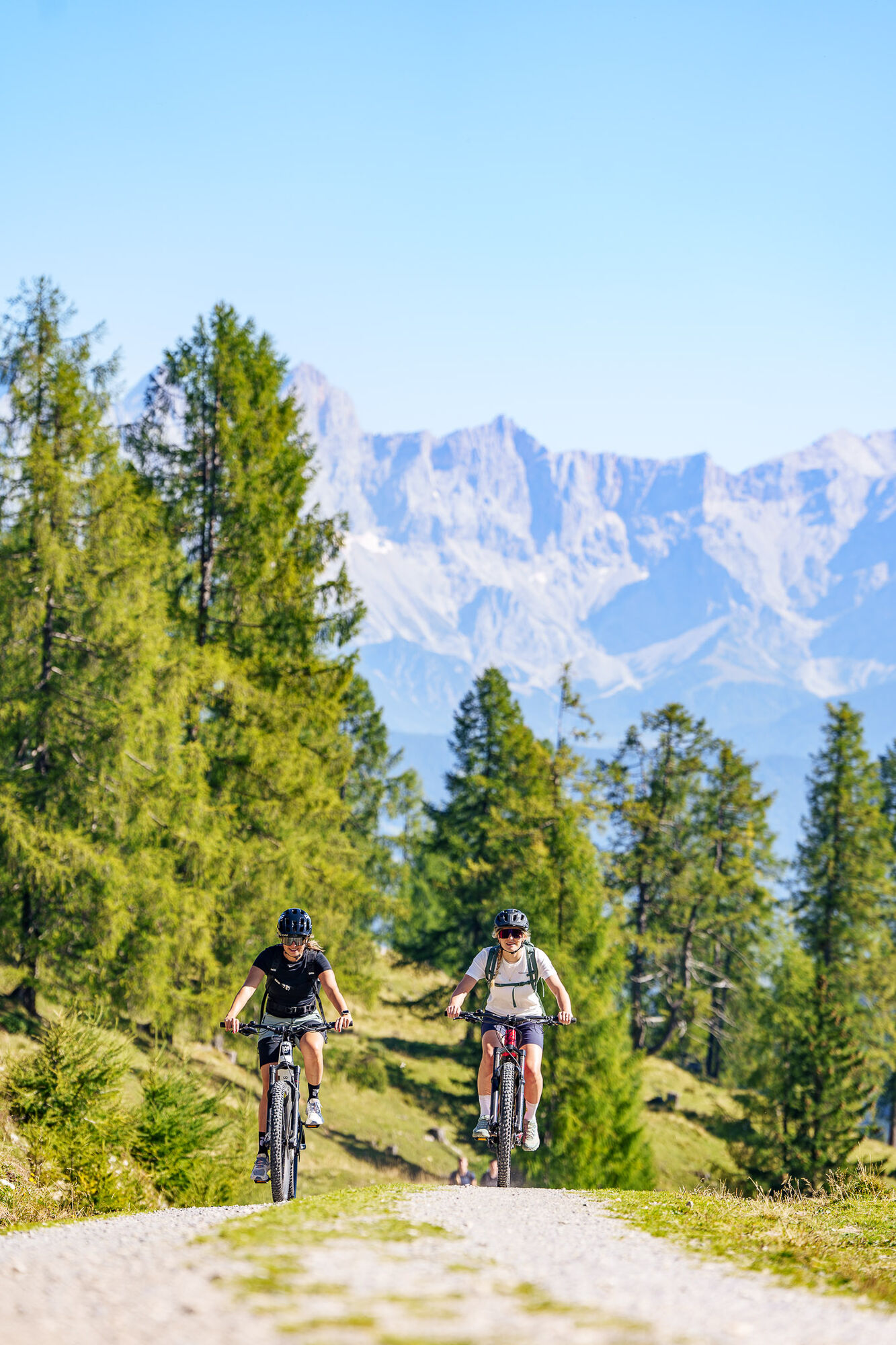
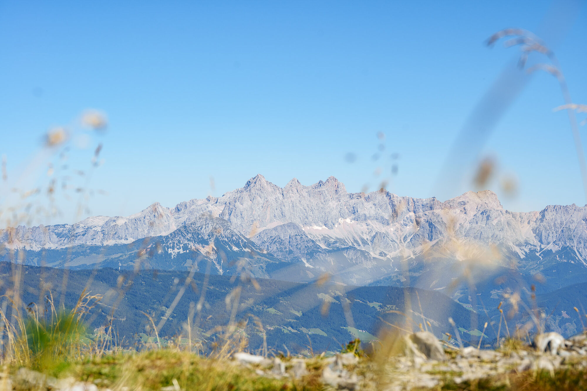
The Bike & Hike Tour Lackenkogel is a combination of the E-MTB route "SW31 b+c Sattelbauer-Lackenalmen" and the hike to the summit of Lackenkogel via trail No. 73. Starting from the center of Flachau,...
The Bike & Hike Tour Lackenkogel is a combination of the E-MTB route "SW31 b+c Sattelbauer-Lackenalmen" and the hike to the summit of Lackenkogel via trail No. 73. Starting from the center of Flachau, we follow the bike signage (SW31b) northward, initially on asphalt and then onto a very quiet, natural forest path with moderate incline leading to the mountain inn Sattelbauer (refreshment option, E-Bike charging station available). From there, we follow the signage SW31c through partly relatively steep sections into the beautiful alpine area below Lackenkogel. Just above the Hinterkuchlberghütte, there is a parking area for E-Bikes. From there, we follow the forest road to the Lackenalmsattel, from where we then head left on trail No. 73 towards the scenic summit of Lackenkogel. We descend back down the same trail towards Lackenalmen, then continue to Sattelbauer, and finally return to the center of Flachau.

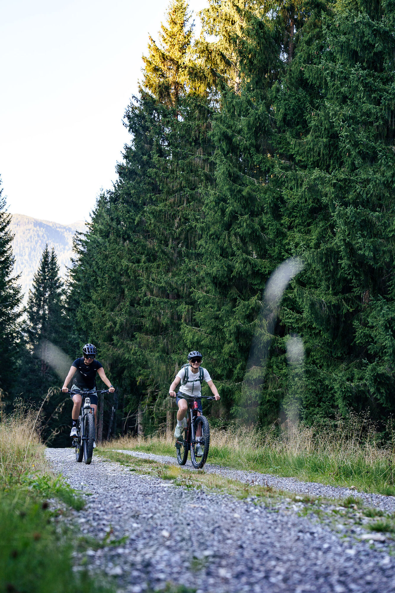
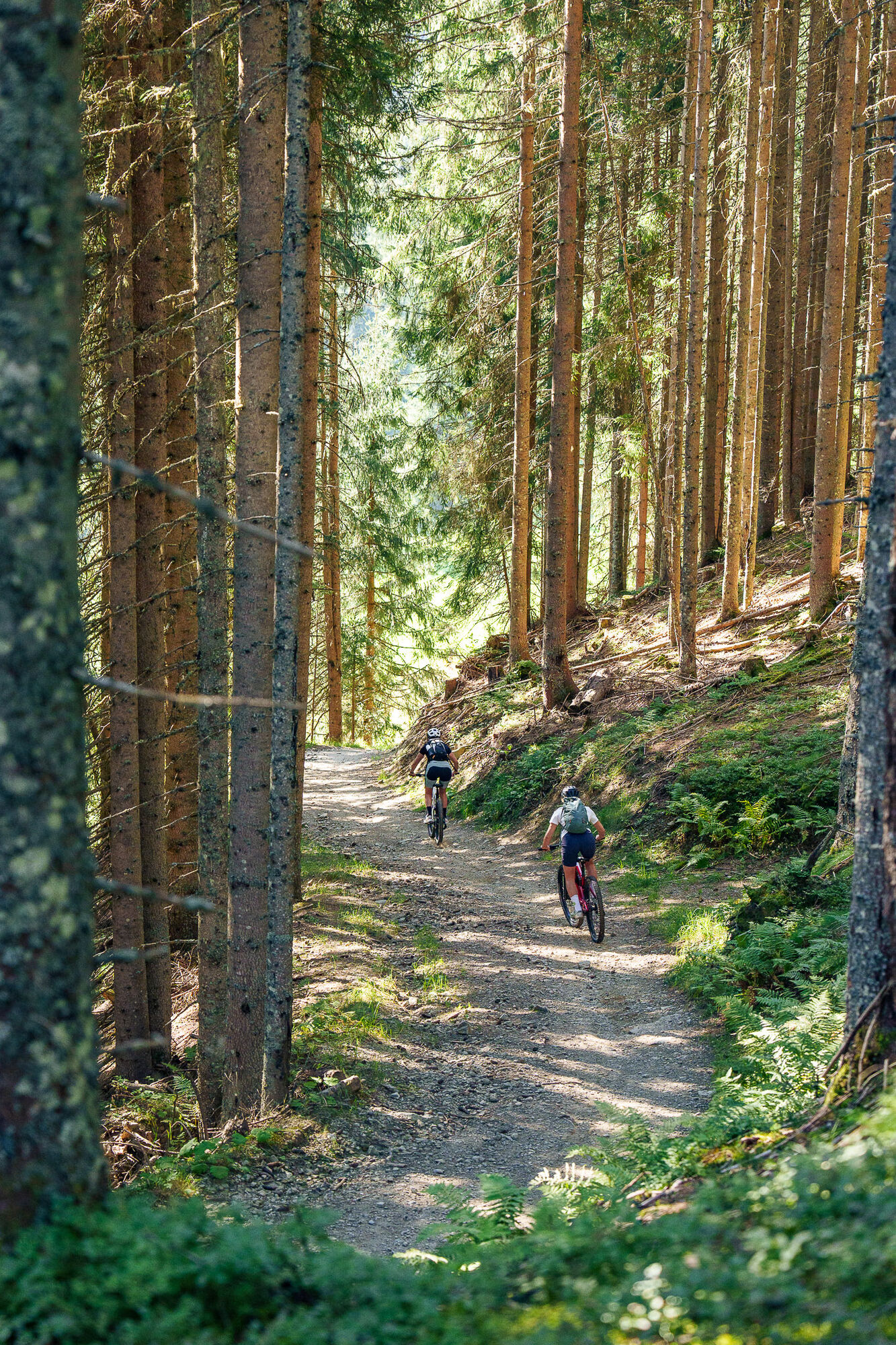
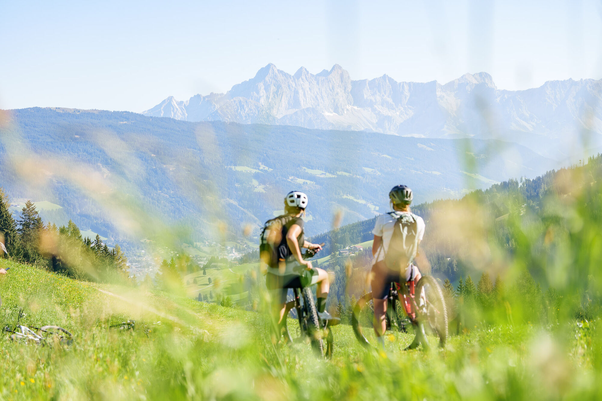
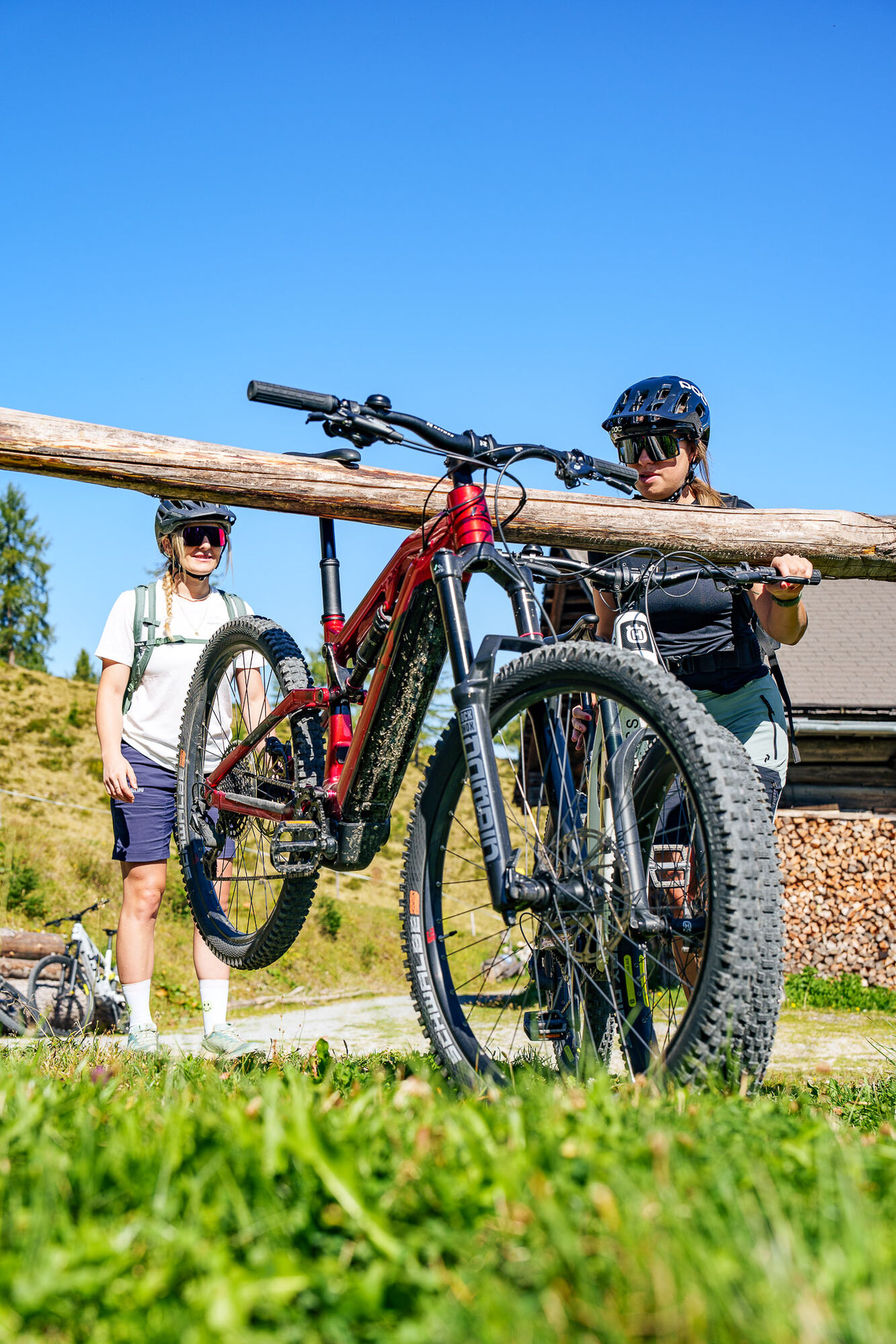
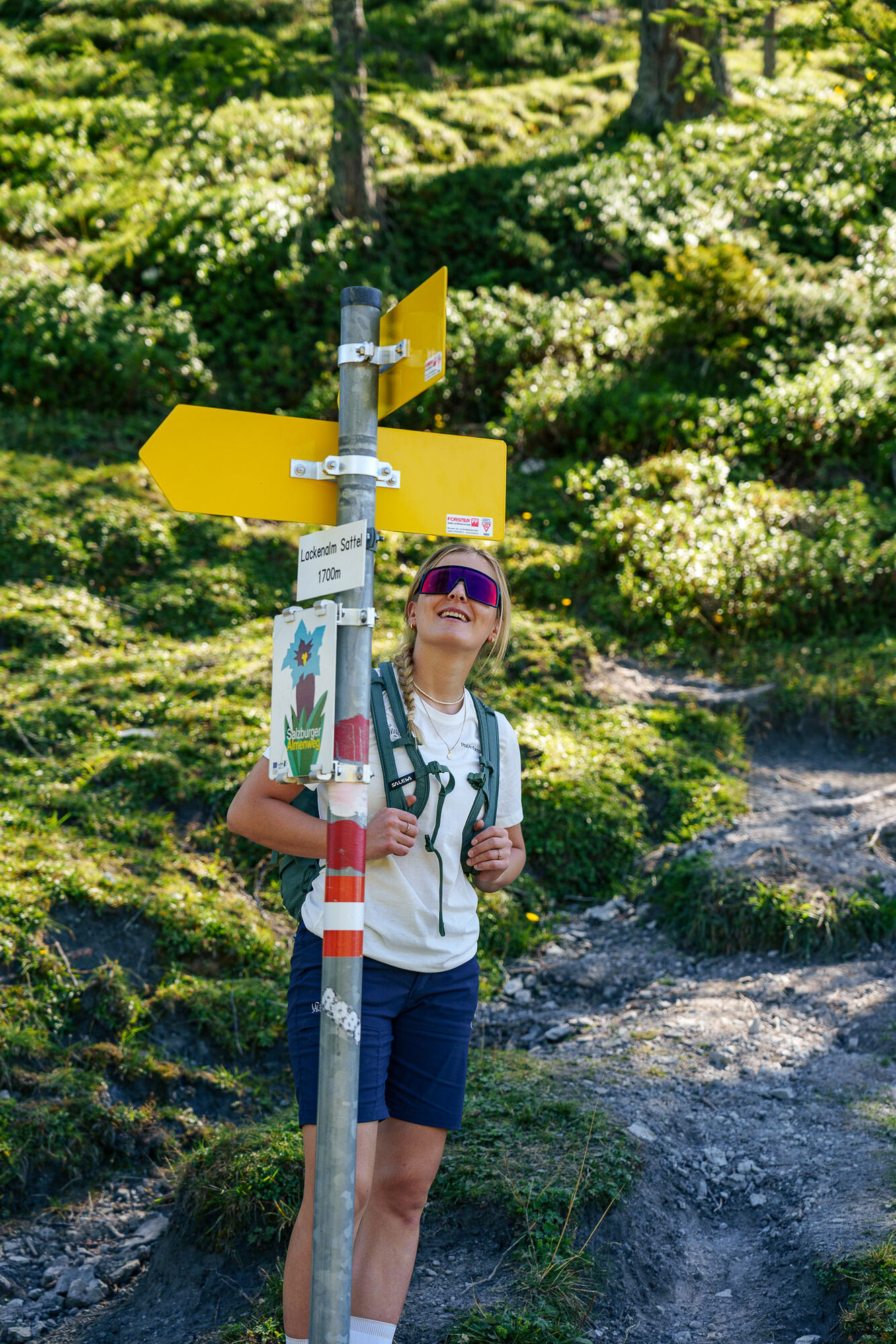

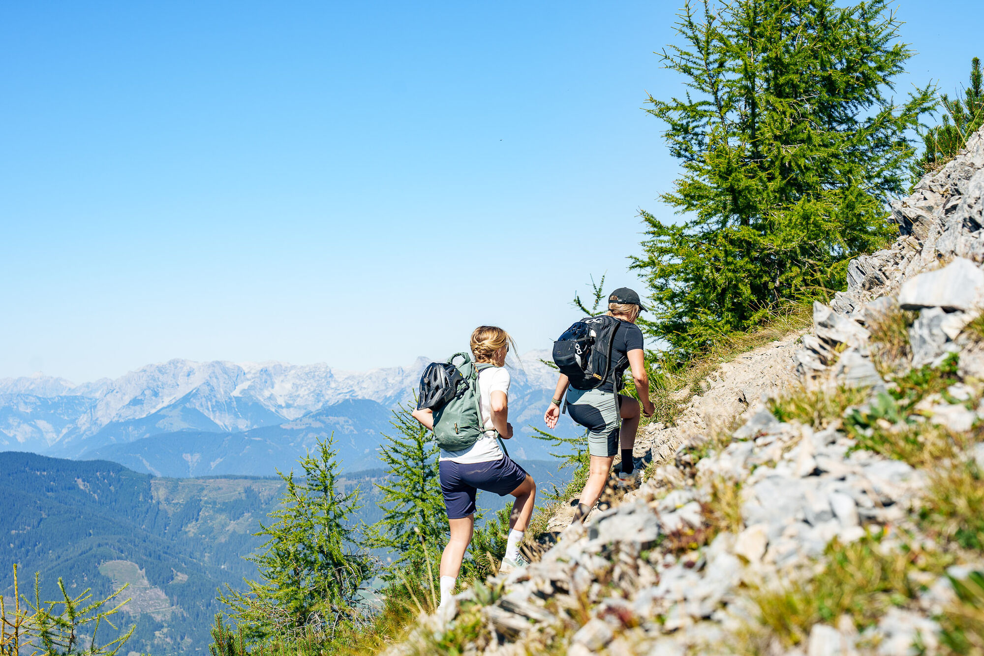
Start at the center/minigolf; turn left onto the signposted bike path (SW31b) along the Enns for 750 meters; turn right and follow the ascent through a few curves; cross the highway overpass; follow the idyllic forest path uphill through several curves; at km 4.5, follow the new connecting path, merge onto SW31 (forest or bike path), and continue following it; refreshment stop at the mountain inn Sattelbauer; pass through the gate next to the parking lot and follow the forest road to the left (SW31c); sharply turn right uphill; follow the road and after another 400 meters, keep left; generally stay on the main forest road and avoid turning at intersections; above the tree line, you will see the Lackenalmen; from the Hinterkuchlberghütte (parking area available for E-Bikes), follow trail No. 73; after about 45 minutes, at the fork in the path, turn left towards Lackenkogel; return the same way.
Oui
Oui
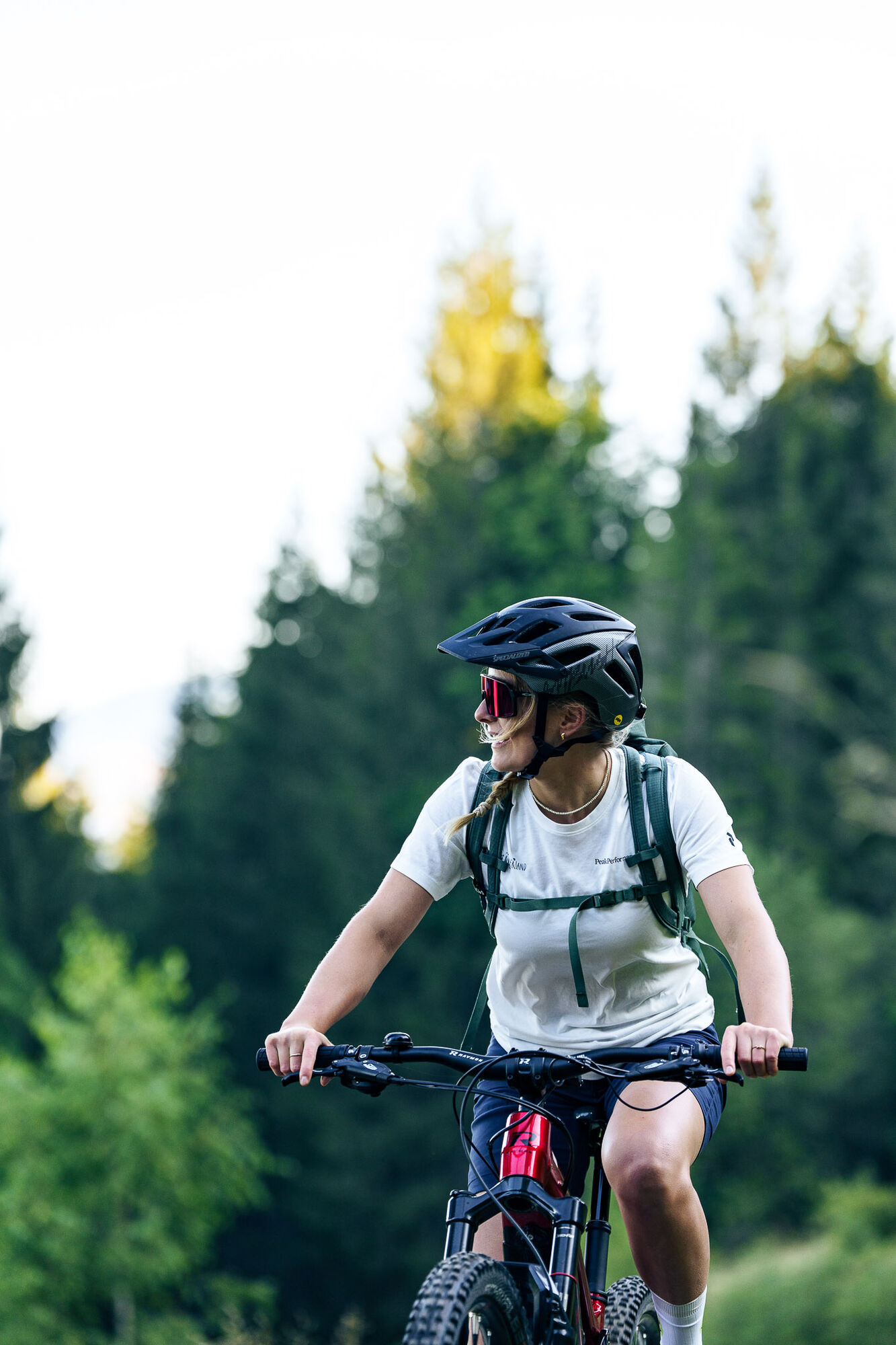
The basic equipment for a Bike & Hike tour includes:
Protective gear
Snacks for in-between
Sunglasses, optionally sunscreen or rain protection
Mobile phone
Before each ride, check the functionality of your E-Mountainbike and gather information about the weather conditions. Wearing a helmet is also recommended for your own safety.
From June to September, the Sportweltbus is the ideal shuttle service for your hiking tours in the entire region (Flachau, Wagrain-Kleinarl, St. Johann-Alpendorf, Radstadt, Altenmarkt-Zauchensee, Eben, Filzmoos, Obertauern, Großarl & Hüttschlag).
With the Flachau Summer Card you can use the Sportweltbus for only Euro 1,00 per person and route. Children under 6 years travel free!
More information at: https://www.flachau.com/en/more/information/sportweltbus.html
Further connections: www.salzburg-verkehr.at
Parking facilities are available in the town center of Flachau (BBF Center & Minigolf parking lot).
Refreshment options at the mountain inn Sattelbauer (E-charging station available) & the Hinterkuchlberghütte.
Parcours populaires à proximité
-
4,5
Mosermandl Windischscharte, Salzburger Land/Österreich
difficileRandonnée 14,6 km -
4,1
Reiteralm Höhen-Rundweg
moyenRandonnée 5,50 km -
4,8
Reiteralmrunde
facileRandonnée 5,71 km -
4,2
Ennskraxn (2410m)
difficileRandonnée 14,7 km -
4,3
Glöcknerin
difficileRandonnée 5,60 km -
4,6
Parcours de ski Lackenkogel
moyenSki de randonnée 7,82 km -
4,2
Großarl : Unterwandalm - Karseggalm - Breitenebenalm
moyenRandonnée 5,93 km -
5,0
Rundwanderweg von der Fallhausalm und Vögeialm übers Klamml zur Oberhütte am See
moyenRandonnée 10 km -
5,0
Forstau - Rippetegg / Reiteralm
moyenRandonnée 13,9 km -
4,4
Randonnée à ski Liebeseck
difficileSki de randonnée 14,1 km
Randonnée et suivi


Ne manquez pas les offres et l'inspiration pour vos prochaines vacances
Votre adresse électronique a été ajouté à la liste de diffusion.