







Lieu de puissance : "Gerzkopf" (Place 12)
Niveau de difficulté: T1




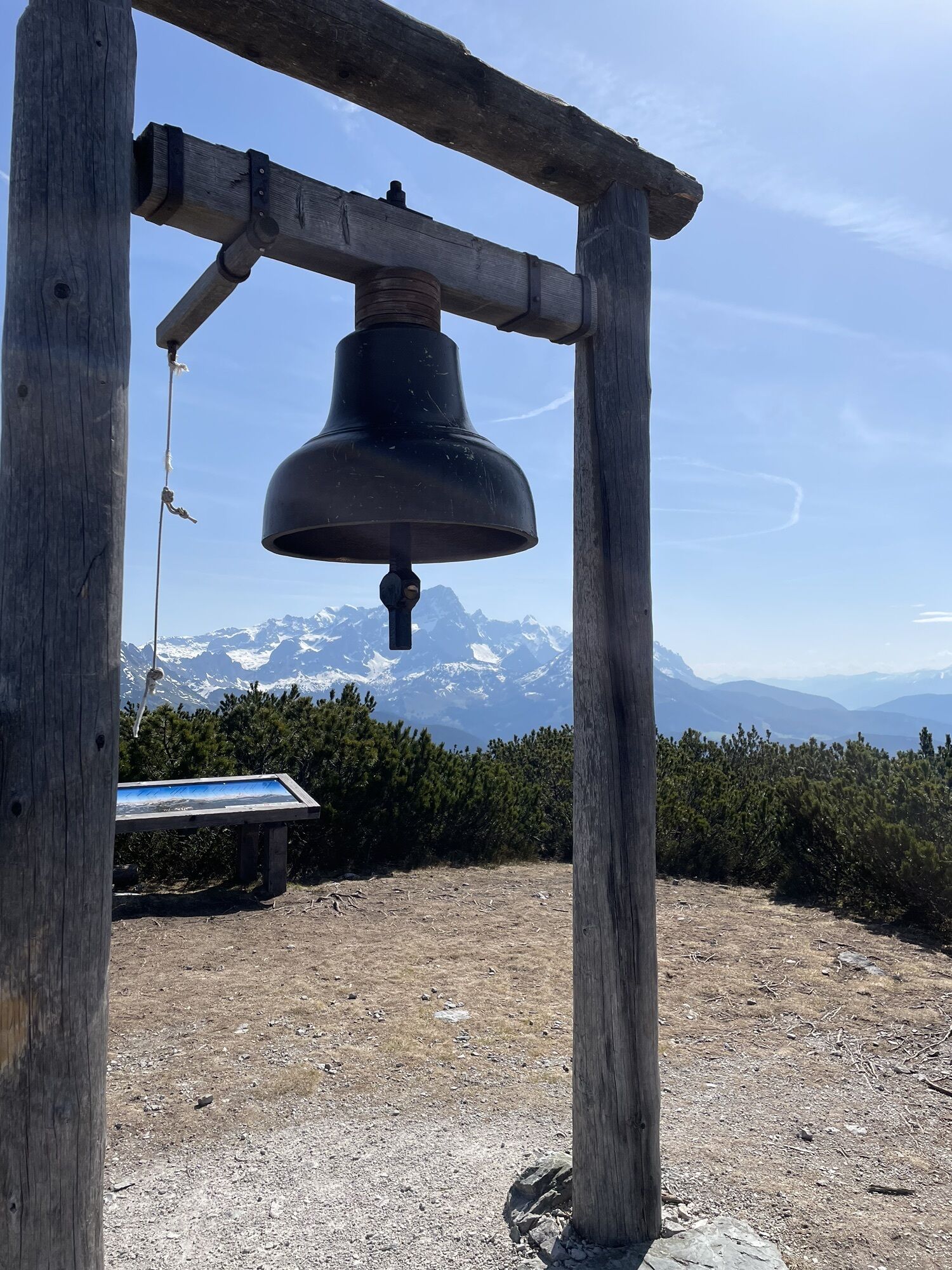
Place 12 : Le Gerzkopf
Cet endroit est un lieu du cœur avec une énergie six fois supérieure à celle de l'être humain au repos. Il y a ici la particularité que, lorsque le soleil brille, le lieu s'active...
Place 12 : Le Gerzkopf
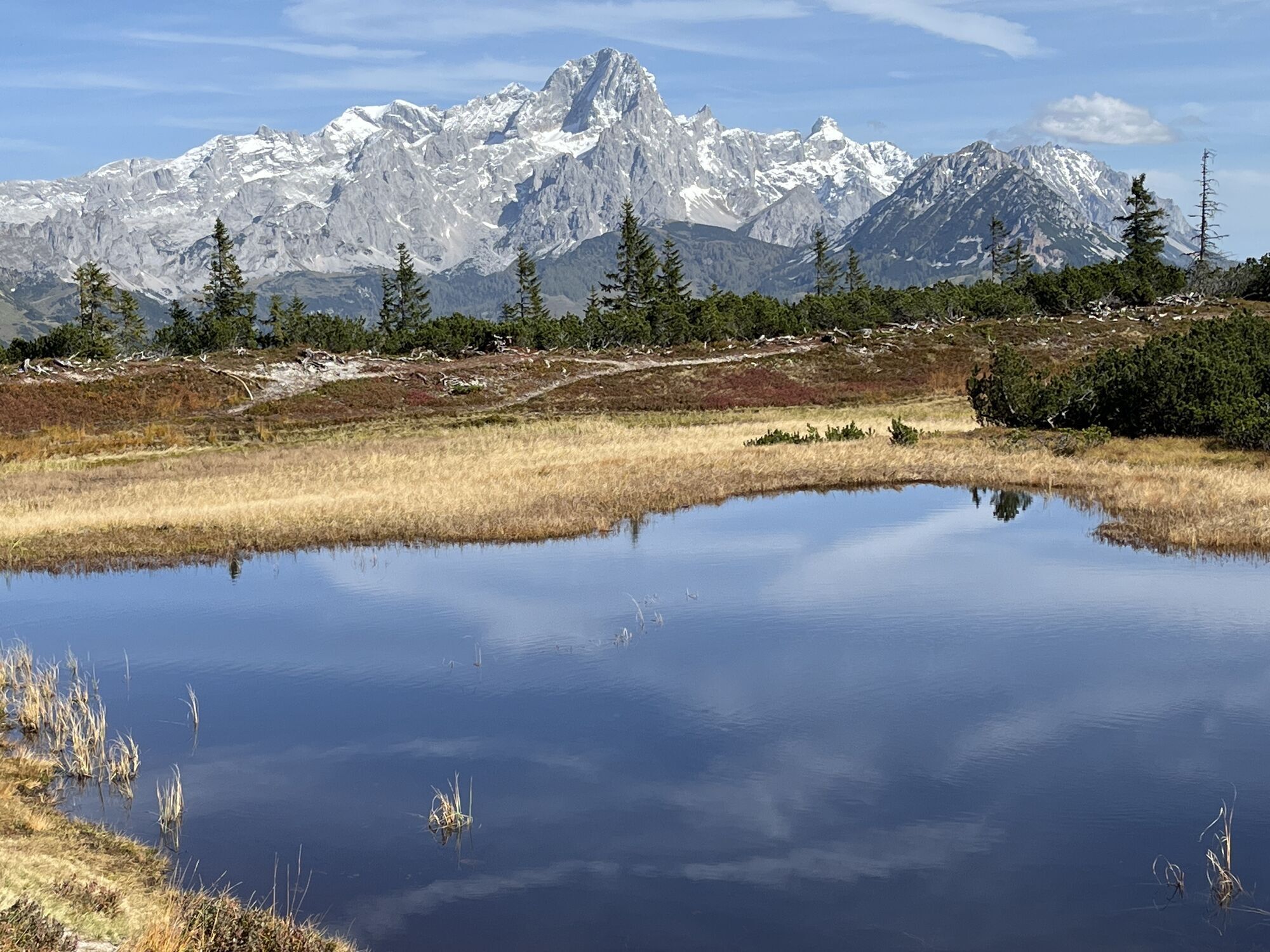
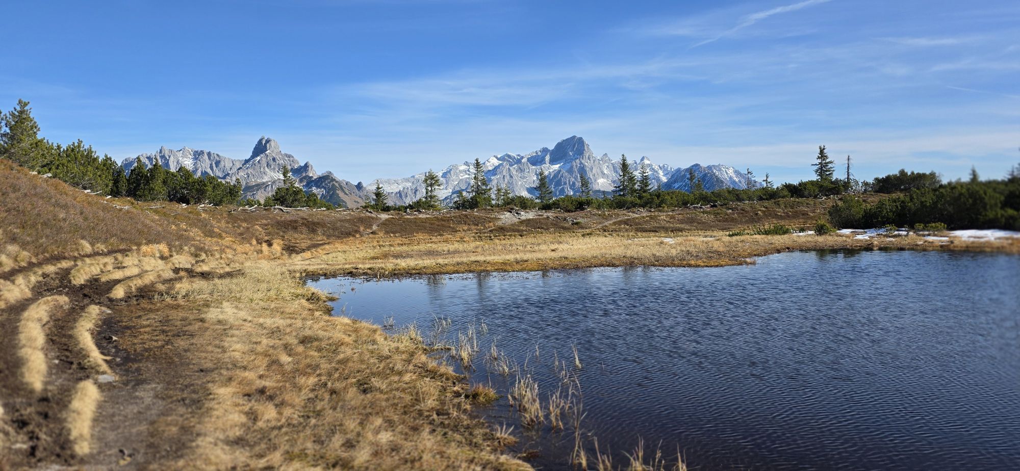
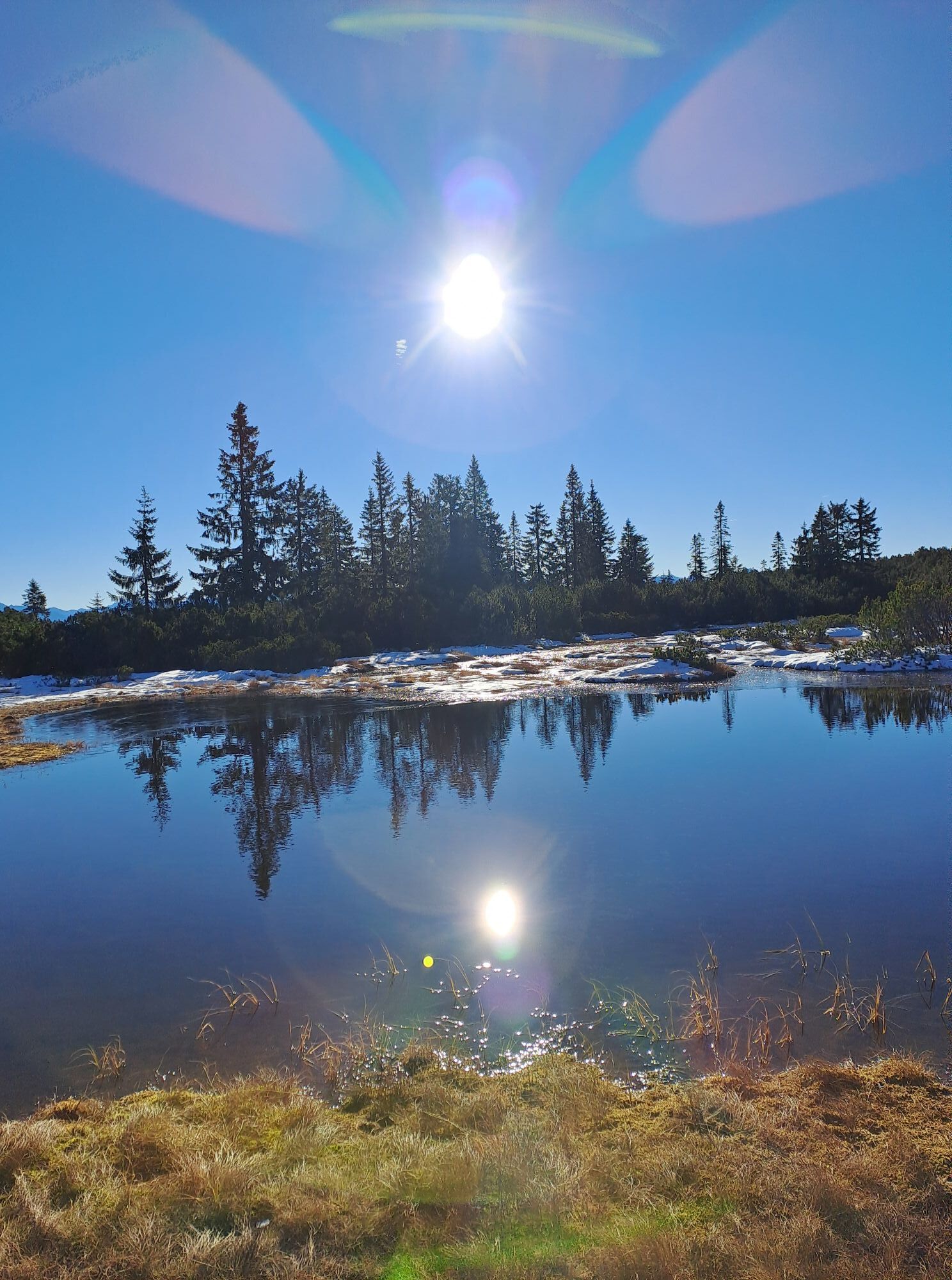
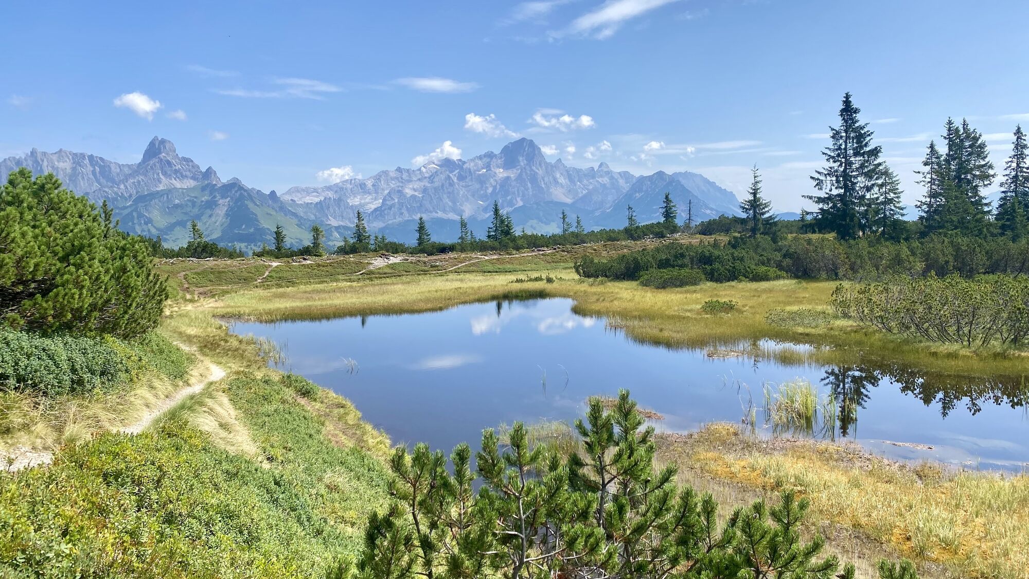
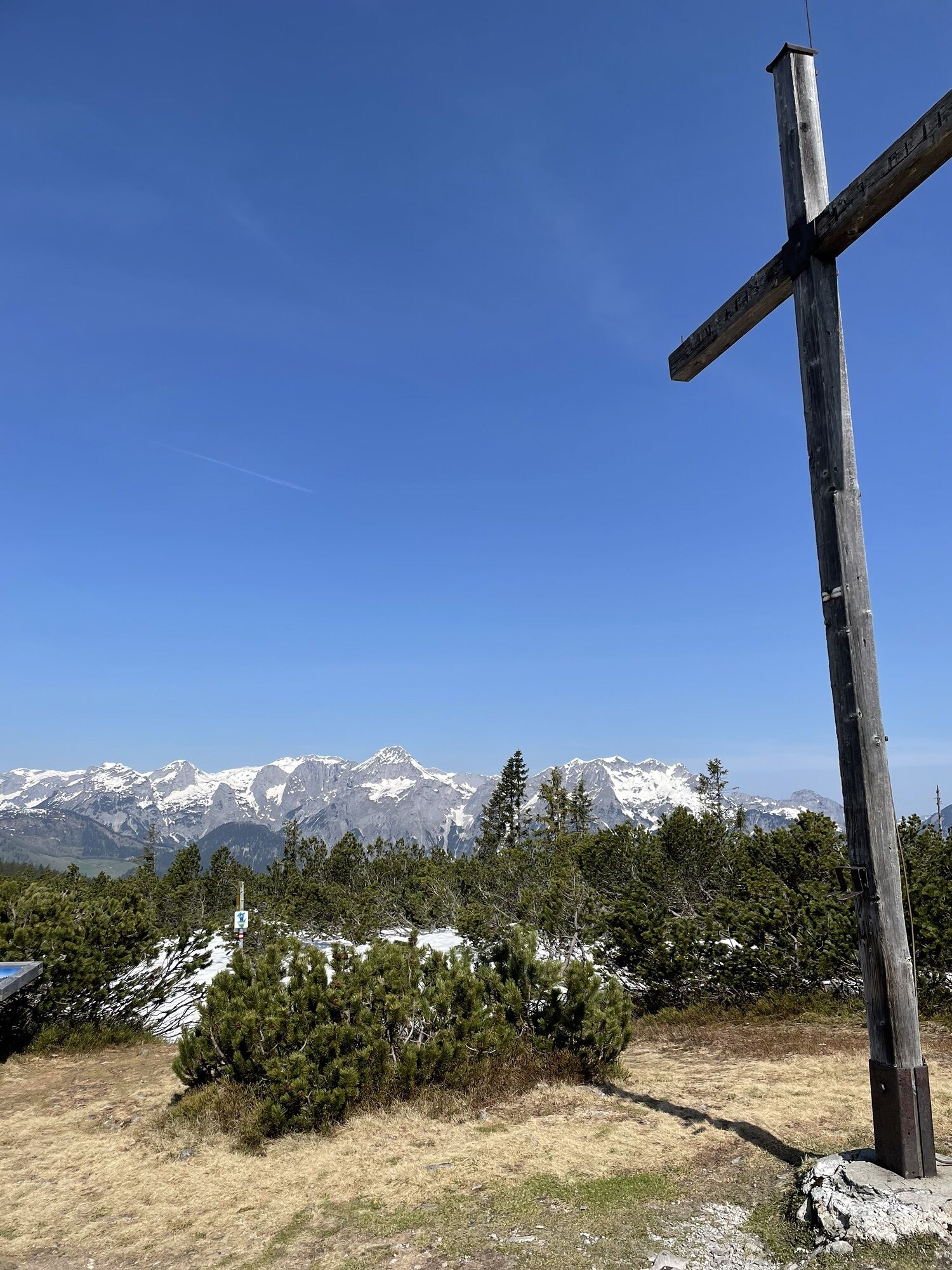
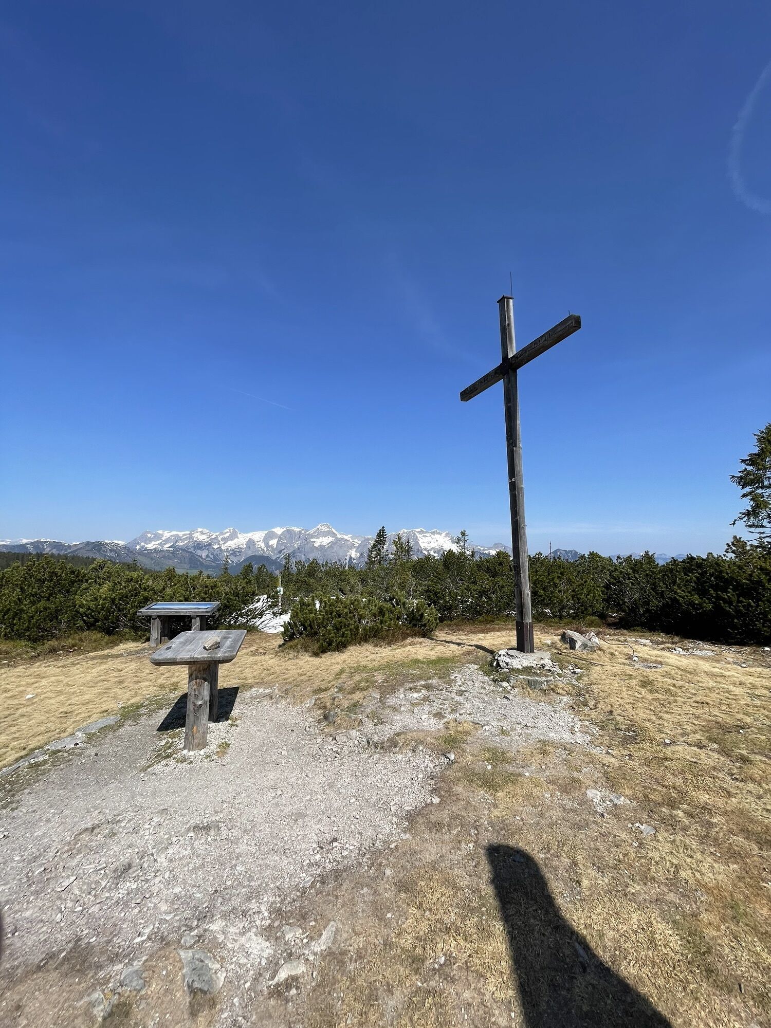
Cet endroit est un lieu du cœur avec une énergie six fois supérieure à celle de l'être humain au repos. Il y a ici la particularité que, lorsque le soleil brille, le lieu s'active tout seul et commence à vivre la fête de la Terre. Et ce sentiment se manifeste aussi chez la personne qui se trouve ici. Allonge-toi et profite de l'énergie qui monte. Recharge complètement ta batterie vitale.

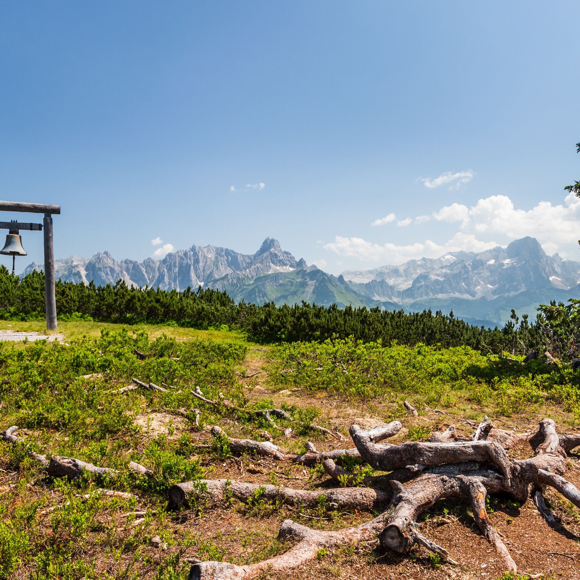
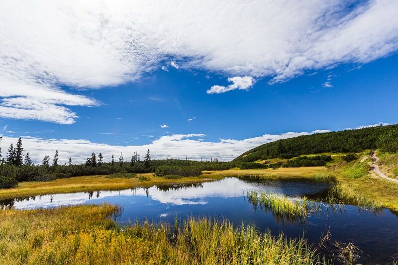
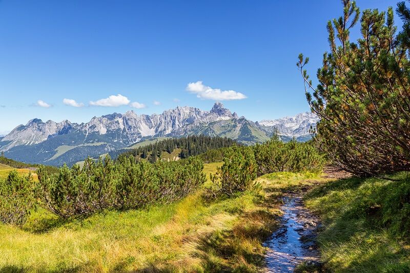

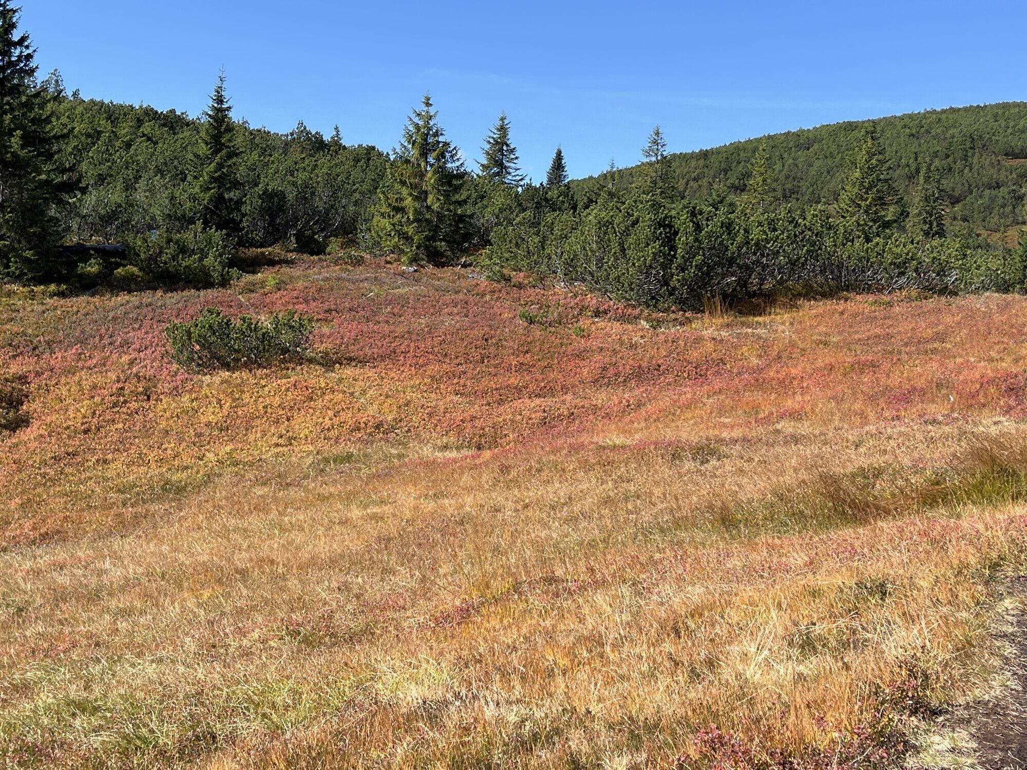
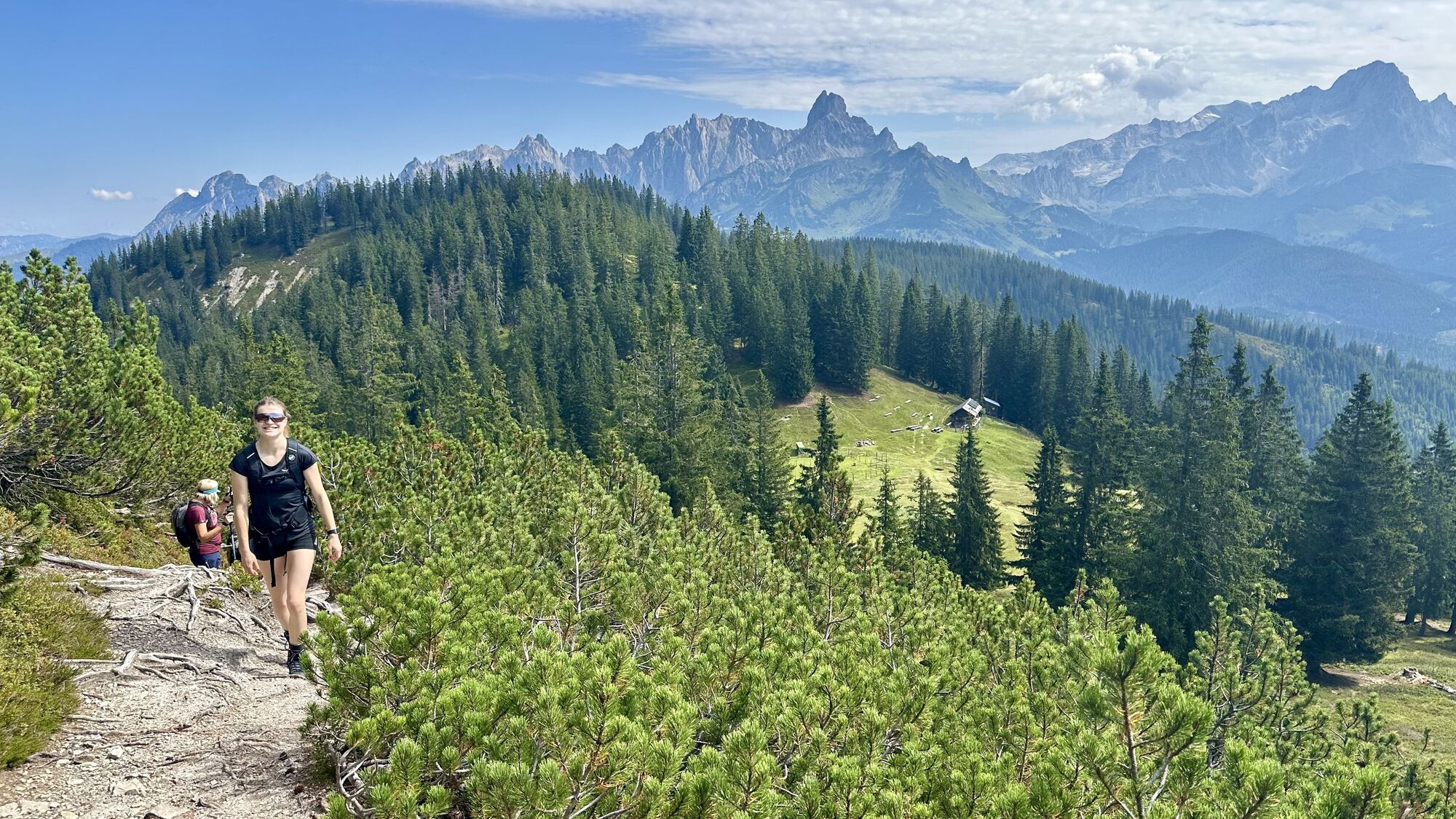
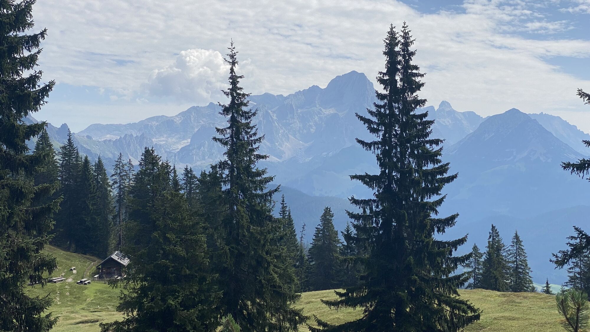
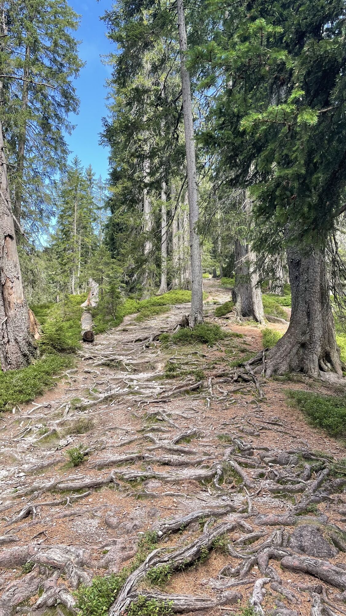
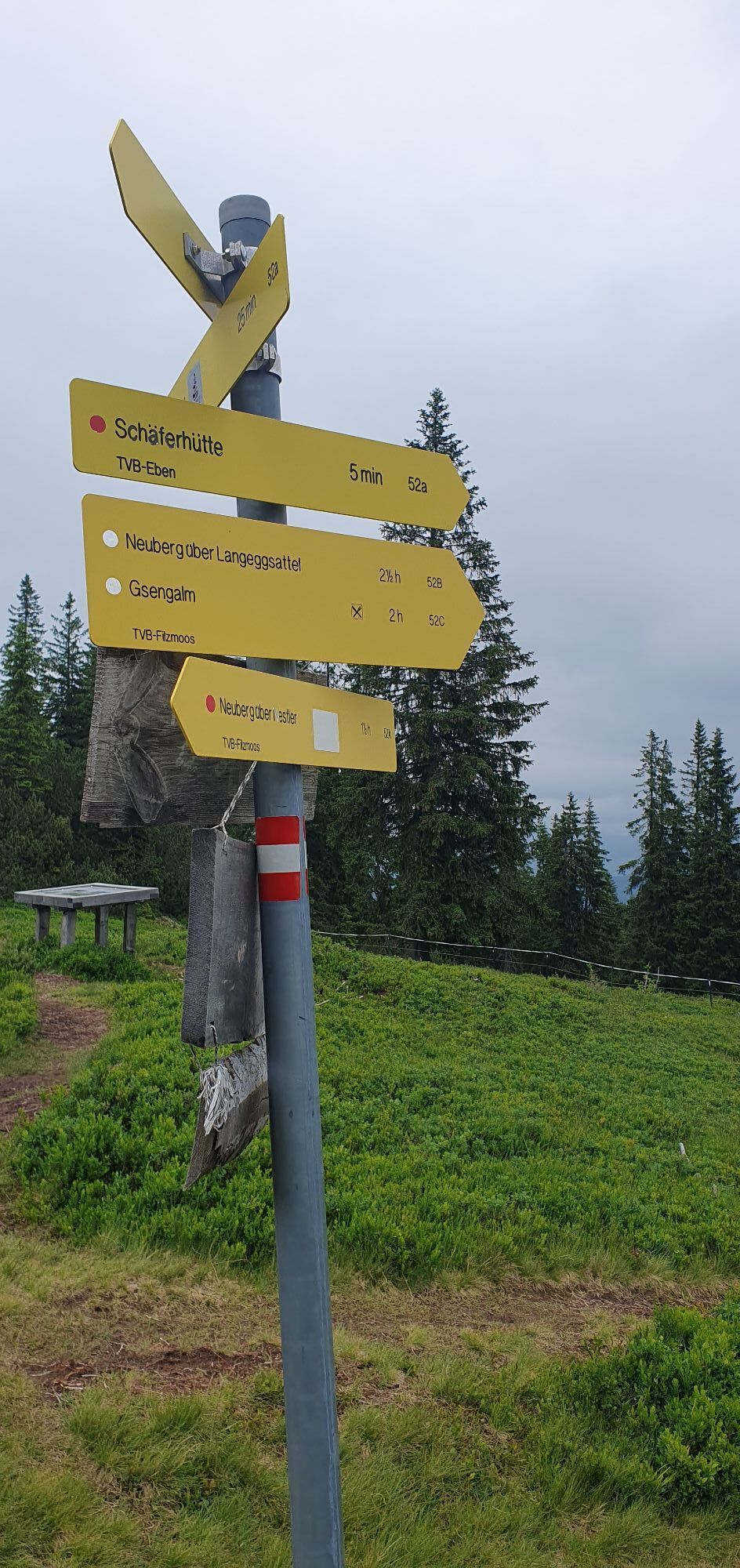
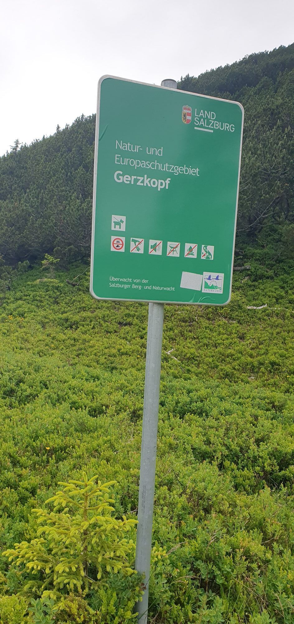
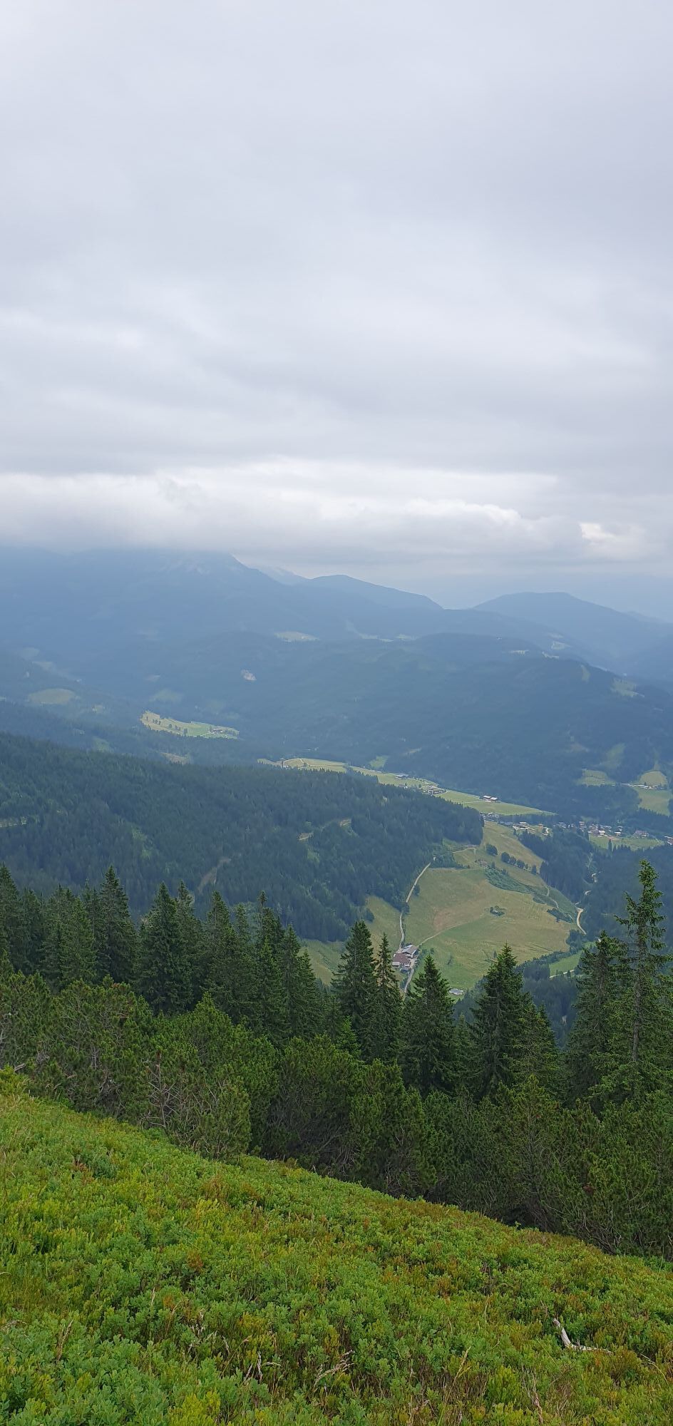
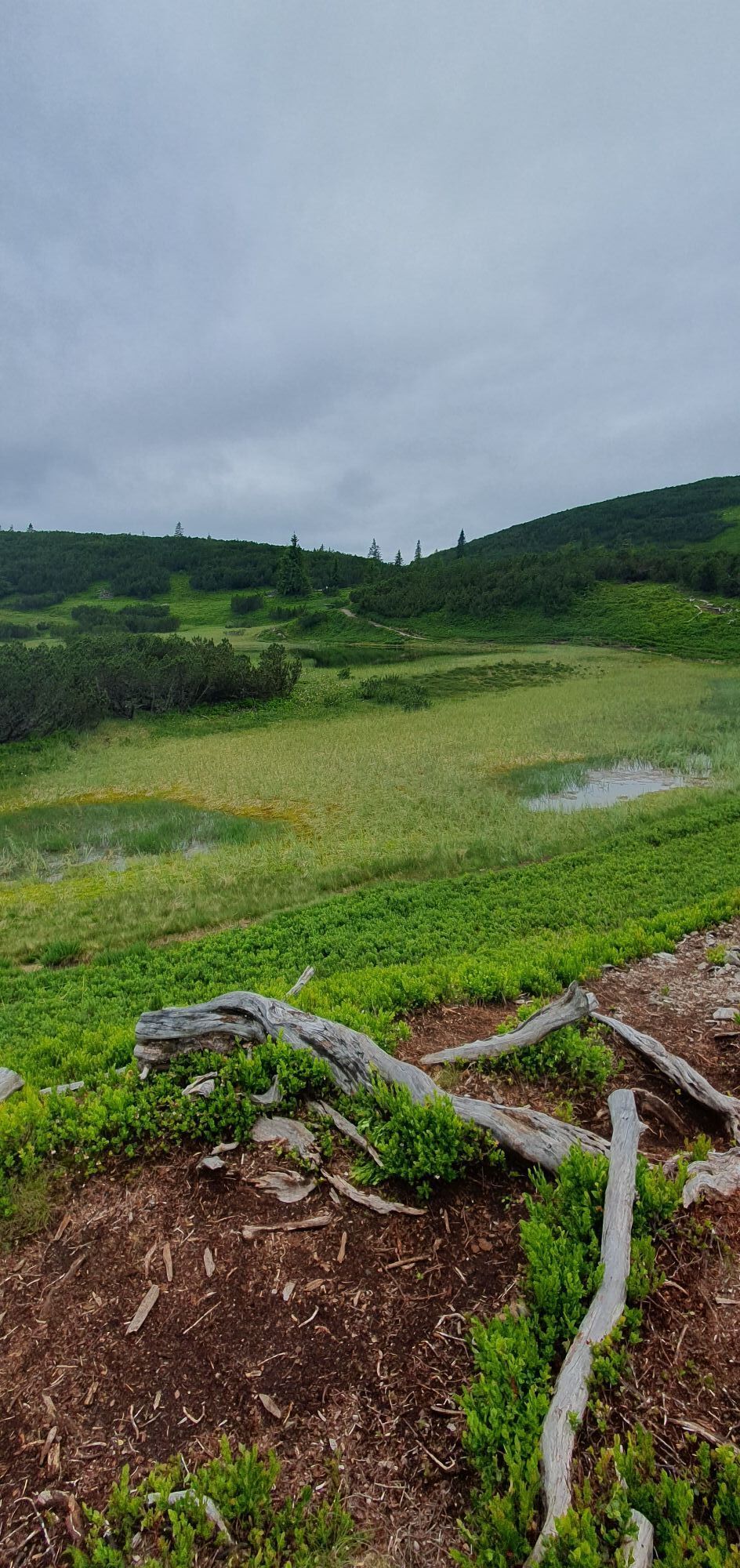
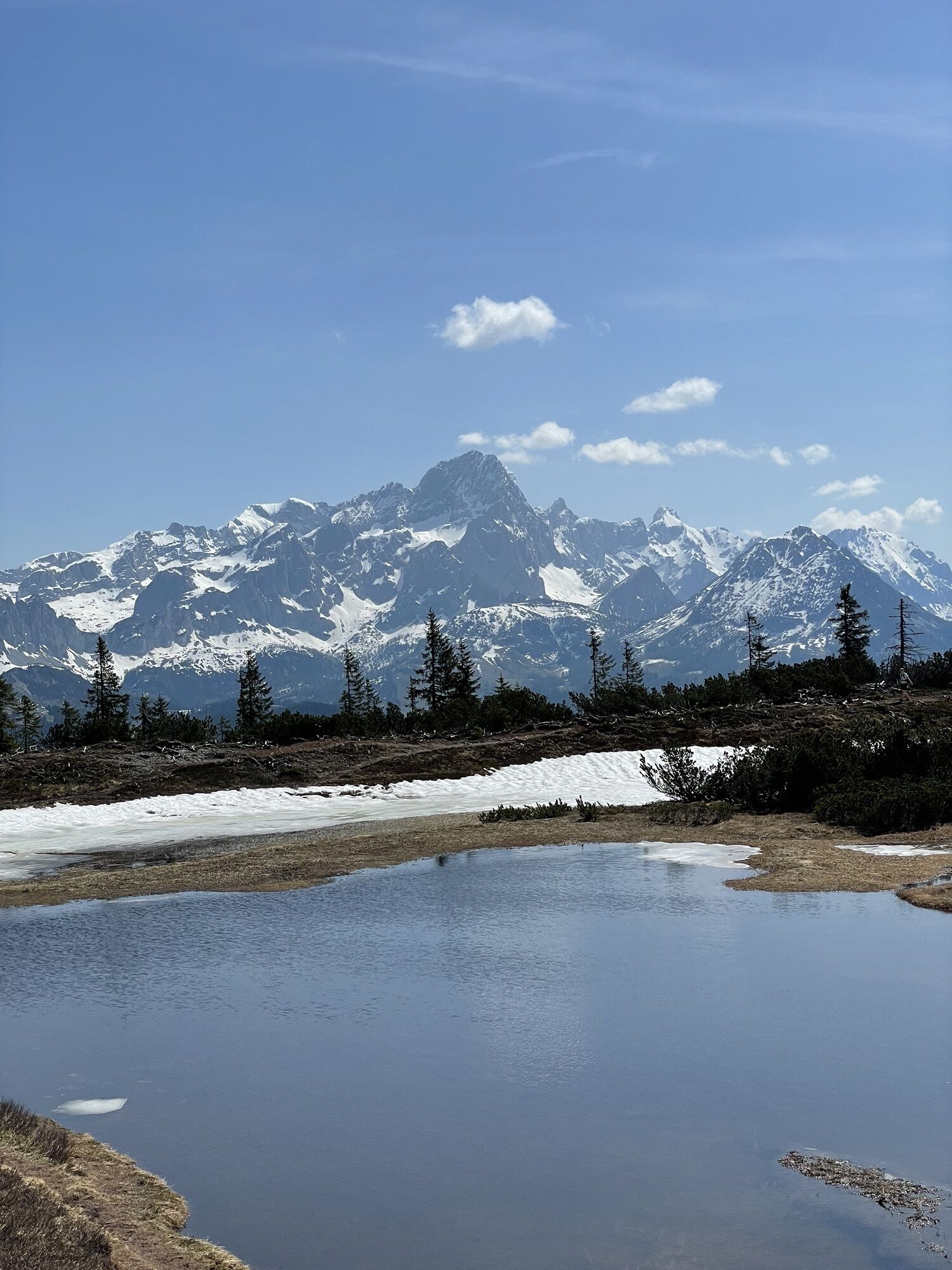
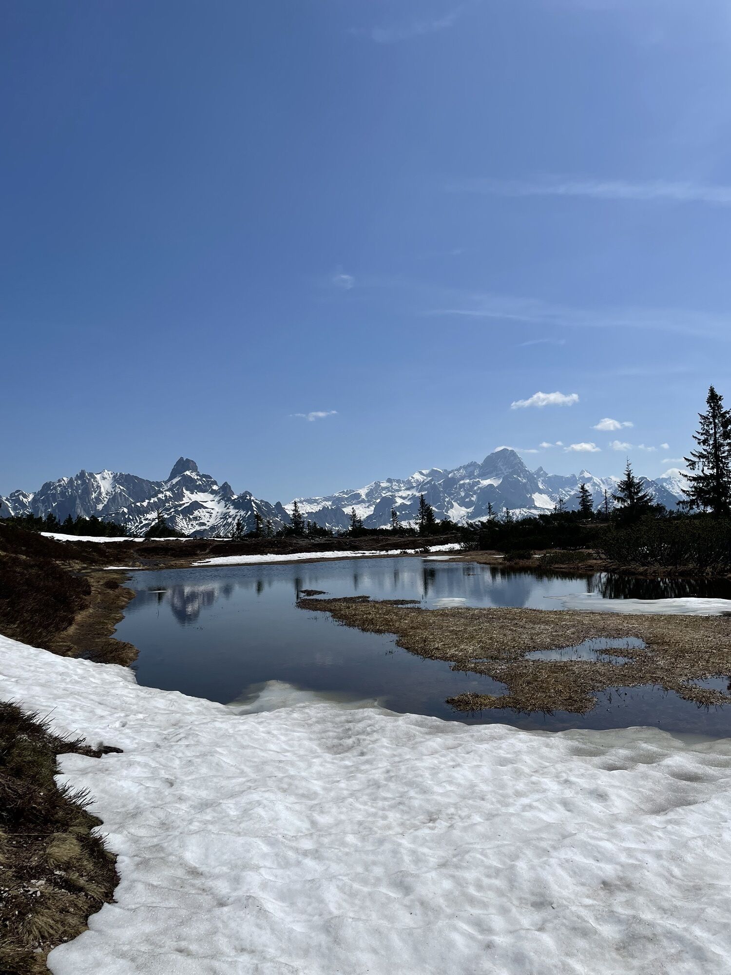
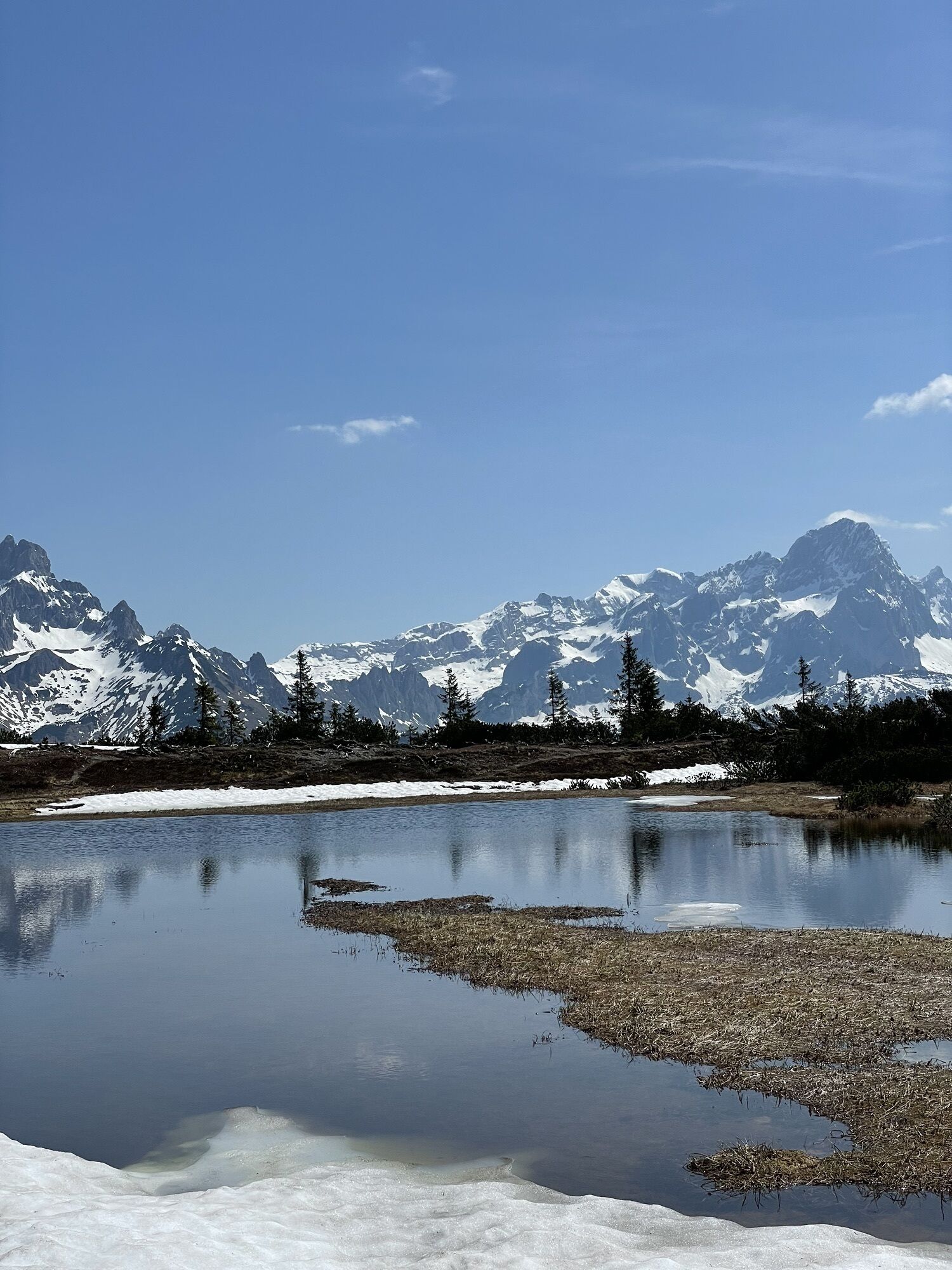
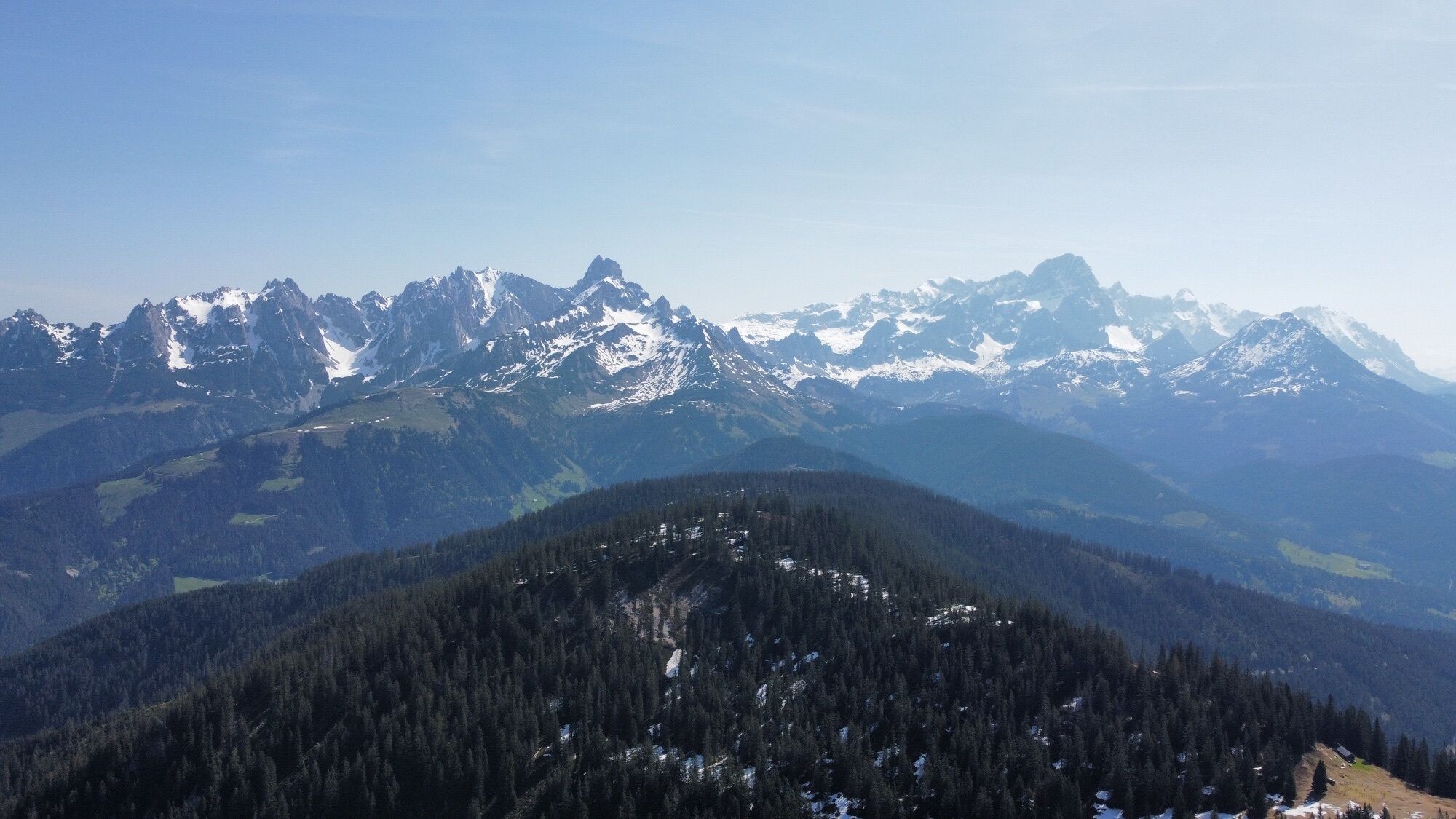
Avec le bus de randonnée de Filzmoos, on arrive rapidement au point de départ à Neuberg. Le chemin vers le Gerzkopf traverse un paysage paisible, intact et primitif. À travers la forêt enchantée d'épicéas, on atteint une ceinture dense de mélèzes, où les tourbières de Gerzkopf sont nichées comme de petits joyaux naturels. Elles sont uniques dans le Land de Salzbourg et ont une grande valeur écologique. Le randonneur profite d'une vue magnifique depuis le sommet sur le Gosaukamm, le massif du Dachstein, le massif du Tennen, les basses Tauern. La caractéristique Bischofsmütze domine la vue à l’est, et au loin se dressent les sommets des hautes Tauern. Juste devant le Neubergerhof se trouve un arrêt de bus de randonnée pour revenir à Filzmoos. De début juin à début septembre, la cabane du berger est en service.
Oui
A good backpack is helpful, and for routes in alpine terrain, a hat, gloves, a good jacket, and pants are basic equipment. Good waterproof shoes, sunglasses, sun protection, and sufficient drinks are essential. A flashlight, map material, knife, and a small first aid kit are also part of the basic gear.
Available GPS data – like hiking maps – are only an aid for orientation, as they can never exactly represent or show all details of a path in reality. Especially in danger spots, the final decision on how and whether to continue the route must always be made based on the local conditions.
In case of emergency, please call the following emergency numbers:
140 – for alpine emergencies – Austria-wide 112 – European emergency GSM emergency serviceComing from Ramsau am Dachstein:
At the roundabout, take the exit towards Neuberg and follow the main road towards Neuberg for approximately 4 km. At the Neuberg junction, turn right and continue straight along the road. At the Gseng junction, turn left and continue for about 500 m. The Nestlerweg parking lot is on the right-hand side of the road. At the roundabout, take the exit towards Neuberg and follow the main road towards Neuberg for approximately 4 km. At the Neuberg junction, turn right and continue straight along the road. At the Gseng junction, turn left (passing the Nestlerweg parking lot) and continue until just before the Gsenghofalm. The Gerzkopf parking lot is on the left-hand side of the road. At the roundabout, take the exit towards Neuberg and follow the main road towards Neuberg for approximately 4 km. At the Neuberg junction, turn right and continue straight along the road. At the Knablhof junction, turn left and continue along the road to Hotel Neubergerhof. At the roundabout, take the exit towards Neuberg and continue straight along the road. Public paid parking is available opposite Hotel Happy Filzmoos / Aparthotel Das Filzmoos. At the roundabout, take the exit towards Neuberg. Turn left immediately after the gas station. A public paid parking lot is located opposite the gas station.Bus de randonnée de Filzmoos
Free parking is available at the Nestlerweg parking lot (Designated parking spaces for “Natura 2000 Gerzkopf”).
Free parking is available at the Gerzkopf parking lot.
Free parking is available at Hotel Neubergerhof.
At the Experience Portal Filzmoos (located in the center of Filzmoos), there is a public paid parking lot opposite the gas station.
T1
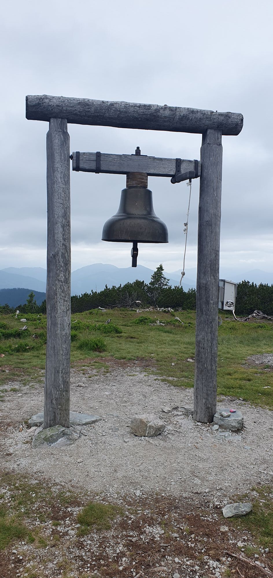
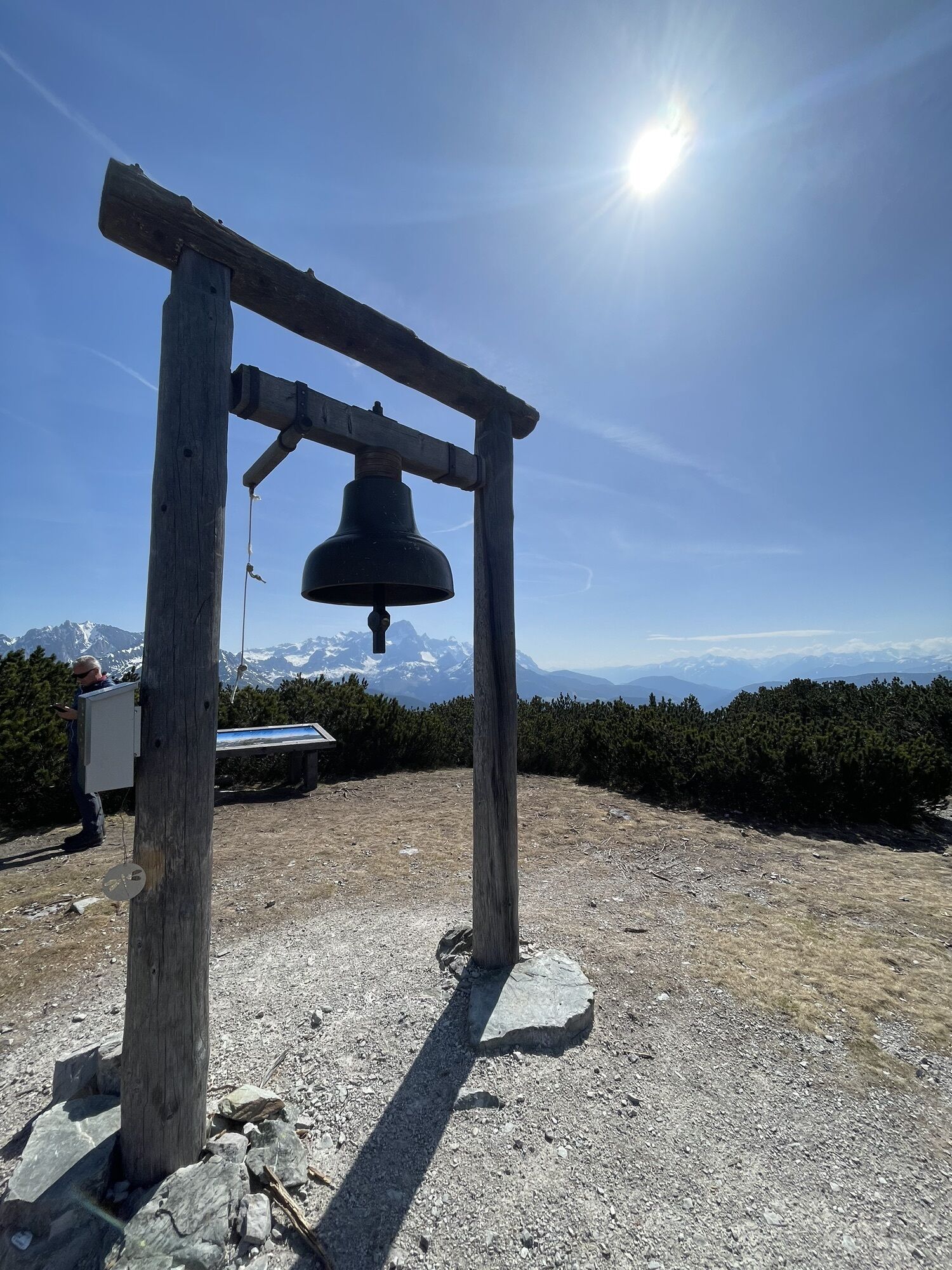
Take time to pause at the summit. The tranquillity, the panoramic views and the special atmosphere make Gerzkopf a place full of renewed energy.
Obtenez un aperçu
Toujours en direct avec plus de 9.500 webcams. En tant qu'utilisateur Pro, vous pouvez désormais voir les webcams correspondantes à de nombreuses randonnées dans l'application de randonnées de bergfex. Vous pouvez ainsi voir directement les conditions actuelles.

Parcours populaires à proximité
-
4,5
Ramsau am Dachstein: Steinerne Jungfrauen
Randonnée 8,11 km -
4,3
Filzmoos: Rötelstein (Rettenstein)
Randonnée 9,50 km -
4,8
Werfenweng Mountainbikerunde Söldenhütte
moyenVTT 18,8 km -
4,8
Autour du Gosaukamm
moyenRandonnée 20,9 km -
4,7
Tor-Wanderung
difficileRandonnée 14,2 km -
4,7
Autour du lac Gosau
facileRandonnée 4,43 km -
4,5
Adamekhütte vom Vorderen Gosausee
moyenRandonnée 23,2 km -
4,8
Hoher Dachstein
moyenRandonnée d'altitude 6,49 km -
4,6
Sulzenschneid
moyenRandonnée 9,51 km -
4,4
Rittispanoramaweg
facileRandonnée 5,30 km
Randonnée et suivi


Ne manquez pas les offres et l'inspiration pour vos prochaines vacances
Votre adresse électronique a été ajouté à la liste de diffusion.





